- Home
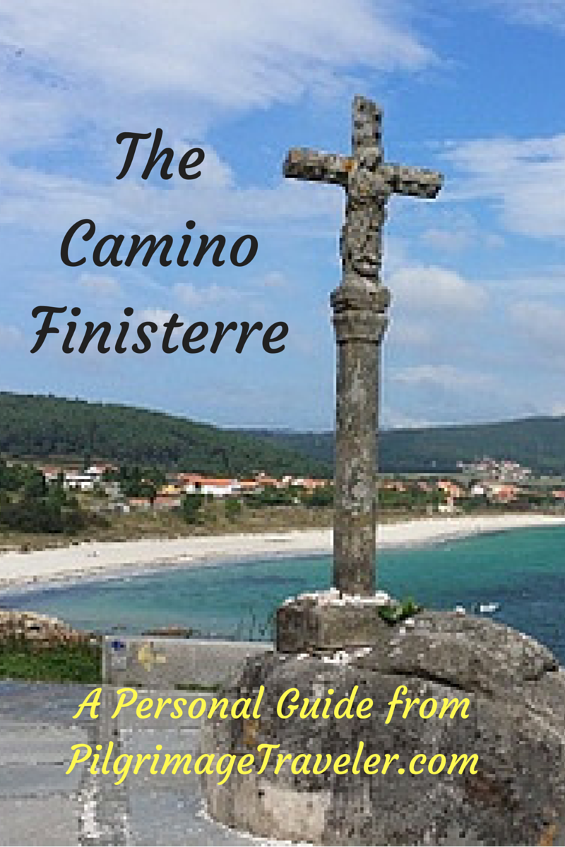
- Camino Finisterre
- Day Three, Olveiroa to Finisterre
Day Three on the Camino Finisterre
~ Olveiroa to Finisterre, 31.6 Kilometers (19.64 Miles)
Just so you know, all Amazon and Booking.com links on this website are affiliate links. As an Amazon associate and a Booking.com associate, we will earn from qualifying purchases when you click on these links. We sincerely thank-you as this is a reader-supported website.
Day three on the Camino to Finisterre is a rewarding and lovely challenge, a most joyous walk with amazing views as you approach the Costa da Morte. This day's adventure will take you all the way from Olveiroa to the cross in Finisterre, just beyond the wonderful Langosteira Beach (Lobster Beach), as you enter town.
On this day, no quote could be more appropriate than this one:
"Then too, during verily long walks, there is always that emergence through a high pass where another landscape appears all of a sudden, After the effort, the long climb, the body turns around and sees at its feet the offered immensity; or, at a turn in the path, it witnesses a transformation: a range of mountains, a splendor lying in wait. Many aphorisms are built on these reversals of perspective, these final exclamations where something else is unveiled, the secret of a discovery like a new landscape, and the jubilation that accompanies it." ~ Freidrich Gros (Taken from the book "A Philosophy of Walking.")
Now you may not like everything that Neitzsche says (and I take a risk quoting him here), but you gotta love this particular quote!
Maps and Stats of Day Three on the Camino to Finisterre
Here is our interactive Google map, created from our GPS tracks. As usual, I placed all the services on the map that a pilgrimage traveler needs. It will help you to plan your day.
There are long stretches on day three of the Finisterre Way that have no services, and from Cée onward there are many! I always advise pilgrims to keep snacks and plenty of water in their packs at all times, because you never know what will happen on the Camino. Hunger and/or thirst equals misery in my world!
The length of day three at 31.6 km is significant, however, to me it actually felt less strenuous than day two because of the lack of sustained and lengthy hill climbs. Plus there are the many distractions along the way, churches, fountains and sea views abound.
Here is our elevation profile for the day. As you can see, the drop from the lofty heights that we were traveling on day two, is dramatic as the Camino Finisterre heads to the seacoast in Cée.
There are several small climbs after Cée but they are short, though steep. Cée or Corcubión are both appropriate stopping points to make a shorter day, at about 20 and 21.6 kilometers, respectively.
Photo-Rich Travelogue of Day Three on the Camino Finisterre
We got an early, post-dawn start out of Olveiroa. The Casa Loncho, our starting point, serves breakfast starting at 6:30, so if you are staying somewhere without breakfast, you could get it here. They even serve bacon and eggs if you want it!
The Camino, leaving town, walks through main street and all the historic, well-preserved old stone horreos. It is a lovely sight in the early morning light.

In a total of 300 meters on the main road, a turn to the left is indicated, onto a path, at this 35.3 kilometer marker. It would be a long countdown for one stage!
 Left Turn Onto Path in Olveiroa at 35.3 Km Marker
Immediately after the turn, a small climb over the next kilometer of about 50 meters (150 feet) begins, climbing to a high ridge and the reservoir, the Encoro Da Ponte Olveira. This section begins by walking through the trees.
 Begin Climb to Ridge and Reservoir
The climb follows a high power line, then it takes a sharp bend away from the power line and turns right at the 34.8 kilometer marker, heading toward the windmills on the ridge instead. It is a total of about 1/2 kilometer in distance at this turn, from the initial turn in Olveiroa.
 Camino Finisterre Climbs Toward the Ridge on Day Three
 Camino Follows the Ridge Line
This is a wonderful and lofty place, that can be filled with early morning mist, as it was in Sept, 2014 when I first walked through here. The reservoir is in the valley below, and you will catch glimpses of it on your left shoulder along the way. Here is a throw-back shot.

This is how the river valley of the Río Xallas looked when we walked it this time. Clear and crisp in the spring with nothing more than a very subtle sunrise. It was just starting to green up in early May.

Once reaching the crest on the ridge, the Camino turns downhill again into the next drainage of the Río de Hospital. shown below.
 Descend to Río de Hospital
Just beyond the footbridge shown above, the Way is now a nice paved path, shown below.

After a short steep climb out of the drainage, the pavers end at the next right hand turn, at kilometer marker 32.7, shown here.
 Pavers End at Right Turn
It is a full 2.0 kilometers following the Xallas River valley, before this right turn onto a gravel lane that heads northward to climb again toward the first town of Logoso, just 700 meters ahead.
 Path Through Forest Towards Logoso
 Gentle Climb Towards Logoso
Come out into the town, and the prominent building ahead is the Albergue O Logoso. This is a quaint-looking place with pilgrims milling about as we passed by. There is also the Pensión A Pedra and a café bar here if you need to eat. It is about 3.6 kilometers from Olveiroa to Logoso.

Onward, after walking through the tiny hamlet of Logoso, staying left whenever given the choice, you pick up another dirt road for a gentle climb of 80 meters (260 feet), shown below.
 Road Towards Next Town of Hospital
Eventually you will see the next town of Hospital ahead among the windmills! This is almost the high point of the day. When you arrive at the T-intersection in town, turn to the right towards the bright yellow building shown in the photo below.
As the "hospital" name implies, this place once must have had a pilgrim's shelter, or hospital where they were fed and cared for, but no remains of it exist.

It is after about 1.4 kilometers from Logoso on the dirt road, and after 5.0 kilometers into day three on the Camino Finisterre, that you reach this bright yellow building, the tourist information center. We were astonished to see it open at 8:15 in the morning! We stopped for bus route information, and the attendant was super friendly, spoke perfect English and very knowledgeable!

Just north of the information center, a few steps off the DP-3404 is the private Albergue O Casteliño (+34 615 99 71 69) if your day ends here.
After the information center, on the intersection with the DP-3404, you turn left onto this main road. In 400 meters you come to the Café Bar O Casteliño with a very, very friendly dog wagging his tail and inviting you to stay and pet him for a while! Now there is a sales coup if I ever saw one!
 Café Bar O Casteliño
Despite the friendly dog, with whom we stopped for a little lovin,' we carried onward. Just across the café is the right turn that you take, for a brief 400 meter diversion from walking along the DP-3404.
 Turn Right Onto Short Diversion From the DP-3404
Here is where the secondary road merges back with the DP-3404. When you see this sign, shown in the photo below, you know that the fork in the road is just ahead.
 Back on the DP-3404 ~ Camino Bifurcation Just Ahead
Walk another 150 meters to the fork in the road, shown below, after about 6.0 kilometers from the center of Olveiroa. Here one has to make a decision whether to go onward to Finisterre, or to go northwest to Muxía.
For us, it was an easy choice. We needed to see the "classic" medieval End of the World, Finisterre. Regardless, we were planning to continue from there, to walk on to Muxía. If you are unsure of your decision and are short on time, please click on my information on both towns to make your own decision.
However, on another later Camino, we did take the Hospital to Muxía direction! It is also a lovely walk, one you will not regret. To see our day three on this route, click here. You can always do the entire loop if you have the time!
The kilometer markers show that to Fisterra it is 29.693 kilometers and the shorter option is to Muxía at 26.589 kilometers. My own GPS tracked it at 27.15 kilometers from Hospital to Muxía.
Here you have reached the high point of the day at almost 400 meters in altitude. It is a long way down to the sea from here!

Turning left toward Fisterra, it is about a 1/2 kilometer walk on the DP-2302 for the pilgrimage traveler. Then it is a right turn at the waymark, shown below.
 Walking Along the DP-2302 for 1/2 Kilometer
The path leaving the DP-2302, shown below, is open and quite high! There are windmills in every direction. The vistas abound! Day three to Finisterre is my favorite day on the Finisterre Way. "Splendors lying in wait," as Neitzsche calls it! We were lucky to have clear, albeit a bit cloudy weather to negotiate this lofty path!

It is another 800 meters or so when the path enters a wonderful, shady forest.
 The Forest Path Towards Cruceiro Marco do Couto
Where several roads converge in another 900 meters, you encounter this cruceiro, called the Cruceiro Marco do Couto. We paused, placed our stones and sent our own individual prayers for the journey.
At this cross you are at approximately 8.4 kilometers into day three on the Camino Finisterre.

We continued straight on past the cross on the gravel lane. The Camino heads downhill, meandering through the countryside and opening up many more views, as it leads you toward the lovely Capela da Nosa Señora das Neves, 1.9 kilometers after the Cruceiro.

 The Camino Finisterre Heads Downhill on Day Three

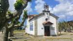
This intimate little country chapel is a wonderful place to take a break, a third into your day at 10.3 kilometers. And fortunately, there is a lovely picnic ground and fountain, just across the road, shown below. You can fill your water bottles if you need. We paused here for about 15 minutes, eating a snack and enjoying the ambiance of the place.

After our break, we passed the 25.0 kilometer marker by the chapel. As we walked around a bend, coming up the hill we encountered a peregrina heading back towards Santiago. Many pilgrims actually walk to and from Finisterre as part of their camino!
 Peregrina Walks Back to Santiago
It was along this stretch that Rich and I had a conversation about how the Camino frees you. Period. It frees you of everything; responsibility and other people's expectations of you. The only expectations you have are what you set for yourself and how far you think you can walk! For us, letting go of distance goals are hard to release. We were trying to learn to release this too. It is tricky! Yet we longed intensely to be free of everything!
Just like the sun was peeking out, this was a bit of an epiphany, though small as epiphanies go!
 Sun Peeks Out Farther Along the Dirt Road
 Up and Down on Long Gravel Road Through the Countryside
 Rich Passes the 22.8 Kilometer Marker
The landscape continued to surprise us. It is a day of great and lofty views. The mountains to the south are frequently viewed along this stretch.

At kilometer marker 21.66, a sign for the Fuente de San Pedro Mártir appears, after about 3.1 kilometers distance from the Capela da Nosa Señora das Neves.
It is a few meters off the Camino to see this fountain and chapel. The fountain is new, built in 2004 and you can safely drink from the water. It is said to have healing properties so you may want to fill your water bottles as well!

The chapel appears to be quite old, but the inscription states that this extremely simple structure was built in 1878. This would also be a lovely resting and picnic place at 13.7 kilometers into the day - not quite halfway. There is also a small amphitheater-like structure on the grounds that would be a nice rain shelter if you needed it.

After the chapel, the Camino takes a bend southward and as we passed the 19.85 kilometer marker, below, suddenly, ahead at last, is our first glimpse of the sea in the distance!

And walking a bit farther on, at kilometer marker 19.6, we caught our first sighting of the peninsula in the distance, the Cabo Finisterre, or Cape of Finisterre, where the lighthouse perches on the cliff. Although you can't see the lighthouse, we knew this was the spot of our final destination. Our Camino is about to take a steep downturn! The cape still looks pretty far away! But we felt a growing excitement being within striking distance!

As we walked on, the elevation drops and shortly, the next towns of Corcubión, and Cée come into view. The Camino Finisterre here is very, very steep, with few switchbacks. It is just straight down through here on day three.
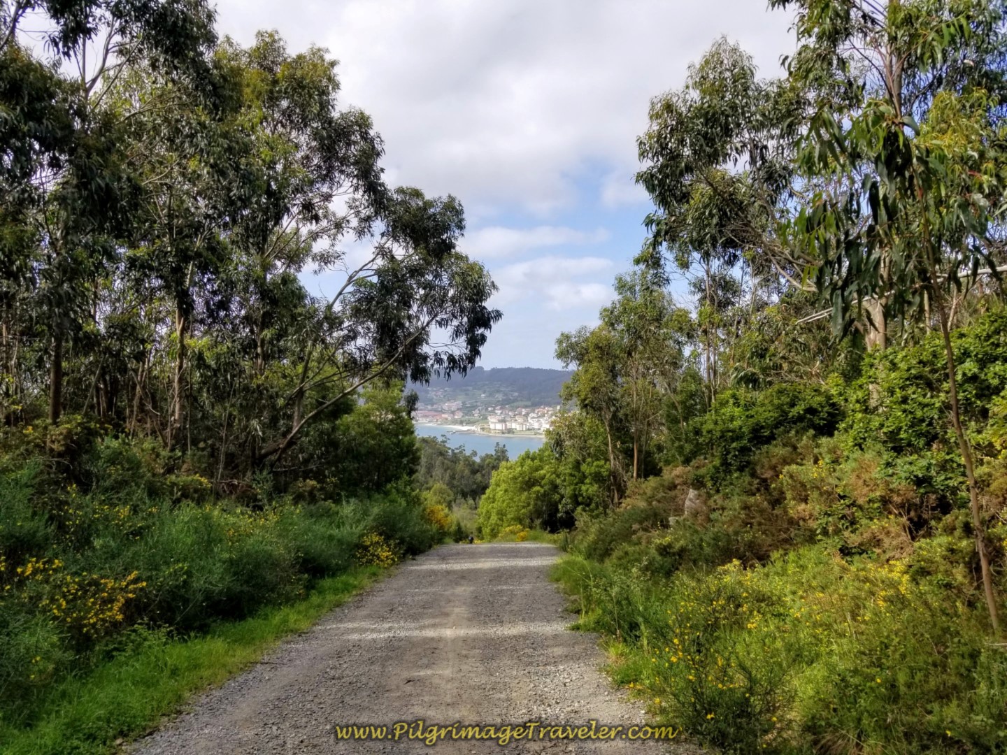 A View of Corcubión Through the Trees
After many, many kilometers on dirt and gravel lanes, the Way drops steeply until arriving at a T-intersection in Cée. A left turn onto the pavement, shown below, brings you into the town proper, after approximately 18 kilometers total for the day.
 Descent Into Cée
The Camino takes a hard bend to the right at the next intersection. If you turn left instead, you come to the very first accommodation in Cée, a private albergue, the Albergue O Bordón.
In a few more meters turn right yet again to pick up the AC-550 that goes into town.
 Walking Along the AC-550 Into the Center of Town
Pass by the Mar no Camiño on the AC-550 next, a very elegant-looking country home. Walk for 3/4 kilometer on the AC-550, then turn left as directed onto the Rúa Campo do Sacramento, then a right after 100 meters onto the Rúa Magdalena, shown below. Pass by the Apartamentos Sapoconcho on the corner.
The streets are narrow and quaint in the center of town.
 Turn Left Onto the Narrow Rúa Magdalena
If you were to continue straight on the Rúa Campo do Sacramento, the Albergue Moreira is a few more meters down the hill on your right.
Continuing along the Rúa Magdalena, pass by three more accommodations on this street, the Hotel Larry, the Albergue A Casa da Fonte and the Albergue Tequeron on day three on the Finisterre Way.
A few meters past the Albergue Tequeron, look for a ramp walkway to the left, at this waymark, shown below.
 Rich by Waymark at Top of Ramp, Turn Left Here
At the bottom of the ramp, a waymark leads the pilgrimage traveler through a clever alley to the Praza Olvido.
 Left Turn at Bottom of Ramp
 Praza Olvido
The Camino walks across the plaza and towards the church, the Iglesia Santa María Da Xunqueira, where you can see the steeple in the photo above.
Here is where I have a strong opinion regarding the Camino route from here. The route now goes north through the heart of Cée, past many restaurants on the main square, the Praza Mercado. We had lunch in the plaza and there is a nice supermarket to get supplies as well.
However, for no reason that I could tell, other than to walk the pilgrimage traveler by as many hotels and cafés as possible, the Camino goes out of the way to the north, then west, then south once again, making a 3-sided rectangle, as you can see from our interactive map above.
We dutifully followed the well-waymarked route through town hoping to find a great reason for going out of our way, according to the Camino planners. There was no reason. The route through town is unappealing with no redeeming features.
Therefore I would heartily recommend that if you don't need anything in town, that you take one of my suggested shortcuts, described below and option #1 and #2. Also see our Google map above for the orange routes. You will shave off at least one kilometer from your day, with either shortcut. (That would make your total km count for the day about 30.6 ~ a more manageable day!)
Option #1 would be to stay on the Rúa Campo do Sacramento instead of turning right onto the Rúa Magdalena, as described just above. Follow its extreme bend left and southward walking downhill until it meets the coastal road, called the Paseo Alcalde Pepe Sánchez. Make a hard right and head north again along the waterfront, and pick up the coastal park trail to the left when it is convenient. Take the Playa a Concha beach promenade around the bay, staying close to the waterfront, until you see the coastal road on the other side, called the Paseo Maritimo. Leave the beach promenade and head up the hill on the Paseo Maritimo to the AC-445, turning left at the Pensión Beiramar. Rejoin the Camino here. (see just below to continue onward).
Option#2 would be to turn right onto the Rúa Magdalena, as described above, but instead of turning north and passing the cathedral, head west from the plaza, then take the first street left (south) and you can see the park and the beach ahead. Just pick your best line to the beach, then head right (west) toward the coastal road as described in option #1.
If you desire to stay in a nice hotel in Cée, click here for your options or for Corcubión, click here. Either town would be a great place to stay for the night. The small beach, the Playa a Concha is a lovely place to hang out, and so is the waterfront promenade in Corcubión. Next time, I will most likely stay here to shorten day three on the Finisterre Way!
There are so many restaurants and cafés in these two towns, that you will not have any trouble finding one right along the Camino, even if you take my suggested shortcuts.
Camino Finisterre on Day Three: Corcubión Onward
From the main road, the AC-445, on the west side of the bay in Corcubión, starting from the Pensión Beiramar, head south a few meters. Turn right at the first street by the Corcubión sign, onto the Rúa Cruceiro de Valdomar (which shortly becomes the Rúa Alameda) and head up the hill as shown below.
 Turn Right Up Hill by Corcubión Sign at this Intersection
I was reluctant to leave the waterfront, but of course, there is more to come! Almost immediately, we caught more glimpses of the sea farther along the Rúa Alameda, below.
 Along the Rúa Alameda in Corcubión
Continue on through town, walking by many amenities, the Casa da Balea (400 meters more) and the Casa de Carmen (100 meters farther). If you can make it another 1.5 kilometers from this area, there is a parochial, donation-based albergue up the hill along the Camino (see below) if this is your preference.
 Inviting Casa da Balea in Corcubión
Corcubión is also a lovely town with narrow medieval streets.

The Camino goes straight on through town for about 800 meters after the AC-445 and to the town church, the Igrexa de San Marcos de Corcubión, after about 21.4 kilometers total thus far. The Pensión MarViva is to your right through here.
If you were to continue along the shore line, instead of following the Camino, there are many more accommodations.
You take a hard right after the church onto the Rúa Mercedes, and when you come to a park, shown below, turn right to cross it, following the signs. All-in-all it is about 1.5 kilometers from the center of Cée to this park.
 Cross Small Park in Corcubión
Beyond the park you are directed to find this wonderful passageway system. I felt like I was on a magical journey, as the above quote describes, "A turn in the path," that "witnesses a transformation," as I entered and walked through it!
At first I was a bit miffed that the "new" Camino Finisterre led us through Corcubión, instead of up and past it as it was in the past. However, when I walked through this "secret" passageway that was shady through hedges and on old stone pavers, I changed my mind! I was thrilled with the change!
 Find "Secret" Passageway
 Follow the Passageway
 Hidden Garden Passageway
After 300 meters and steep climbing on the secret passageway, the path comes out onto the road, the Rúa Fontiñas, at the 13.76 kilometer marker, and you follow it to the left.
 Turn Left at the 13.76 Kilometer Marker
While the climb begins in Corcubión when you enter the secret passageway, you won't notice it until you hit this open road. Don't forget to look back at the views of the bay, according to Nietzsche, "After the effort, the long climb, the body turns around and sees at its feet the offered immensity."
 Climb Up and Out of Corcubión on the Rúa Fontiñas
After 200 meters, turn left at a T-intersection. Walk not quite another 200 meters and turn right at this intersection, below, onto the Rúa Camiño do Carro in the hamlet of Vilar. There is a fountain, with potable water to your left if you need water.
 Right Turn Onto the Rua Camiño do Carro
After another 400 meters or so, the Camino crosses the AC-445 to pick up the CP-2801 that takes you in a few meters to the donativo, the Albergue de Peregrinos de San Roque, (+34 679 46 09 42), shown below, after 22.7 kilometers from Olveiroa. It would be a respectable day to make it here!

Pick up a path to the right of the albergue, at the 12.5 kilometer marker. This path parallels the AC-445 as we continue on our walk across the peninsula from Corcubión towards the next town of Estorde.
The path walks by this lovely San Roque gate, to someone's property. Yes, that is the Cabo Fisterra being framed within the gate.

We continued walking across the top of the peninsula on this lovely walled path toward the next larger town of Estorde.
 Path Parallels the AC-445 on Day Three, Camino Finisterre
The path lasts for about 1/2 kilometer, when it joins the AC-445, to descend on pavement. A few steps after joining the highway, shown below, is the private Albergue San Pedro, not pictured, at 23.4 kilometers total, in the town prior to Estorde, called A Amarela. This albergue receives excellent reviews from pilgrims.
Farther along, there is a brief shortcut of 1/3 kilometer to the right of the highway, but essentially the pilgrimage traveler must walk on the shoulder of the pavement for the next 1.8 kilometers. Luckily, the shoulder is wide in most places.
 Join the AC-445 to Walk towards Estorde
As you descend into Estorde, you can catch glimpses of the beautiful beach and bay to your left. If this town calls you to linger, there is the Hotel Playa de Estorde, the Restaurante Pensión Playa de Sardiñeiro and the Pension Restaurante Merendero, either along, or mere steps from the Camino. We even walked by a camping place. There is a nice café near the beach here as well, if you need some caffeine for the final 7.5k push.
 Walking Through Estorde on the AC-445
As you pass the beach, the Praia de Estorde, your next destination is the town of Sardiñeiro. It also has a beach by the same name in a lovely little bay.
It is difficult to tell where Estorde ends and Sardiñeiro begins, but along the way, the Camino has a nice path to the side of the road.
 Path at the Side of the AC-445 in Sardiñeiro
From here onward, for the next one kilometer, the Camino does a nice job of keeping the pilgrim off the highway, as it meanders back and forth on side roads.
 Diversion From AC-445 Through Sardiñeiro
Then the Camino leaves the AC-445 at this intersection, below by turning to the right, and for the final long hill climb, up through Sardiñeiro.
 Right Turn at this Intersection in Sardiñeiro
The Camino climbs steeply up a back street of Sardiñeiro called the Rúa Nova.
 Climb Through the Back Streets of Sardiñeiro
After 150 meters along the Rúa Nova, the Camino turns right onto the amazing Rúa Fisterra as it continues to climb. As you leave town, the views open up of the bay as the Camino follows its line southward.

The Rúa Fisterra continues for a full 1.7 kilometers, through the forest, below on day three of the Finisterre Way.
 Along the Rúa Fisterra into the Forest
 Stone Walls Line the Rúa Fisterra
This path is a glorious place to be in the spring. You reach the top of the climb at 27.5 kilometers.
Then up ahead as we neared the end of the 1.7 kilometers, you could see that a stunning view would open up ahead!

And suddenly there it was, the End of the World, the Cabo Fisterra, in all its glory in the distance. It actually looked reachable from this lookout, called the Miradoiro de Fisterra. I was filled with wonder. To repeat Neitzsche:
"... these final exclamations where something else is unveiled, the secret of a discovery like a new landscape, and the jubilation that accompanies it."

It is not quite another 100 meters on the Rúa Fisterra when the road ends, the Camino crosses the AC-445, and picks up this improved path, shown below.
 Pick Up Improved Path on Day Three, Camino Finisterre
In the short 350 meters on this path, it descends very steeply to the Praia de Talón, a gorgeous and inviting little cove.
 Path Descends Steeply to the Praia de Talón
 Climb Up Steeply From the Beach and the 7.08 Kilometer Marker
After the steep climb from the beach, you briefly join the AC-445, turning left and walking on it for 300 meters, shown below.
 Briefly Join the AC-445
Then it's another turn to the left onto a paved side road for another 300 meters. Next, you pick up the final long paved path to Langosteira (Lobster) Beach and Finisterre.
After reaching this paved path that runs the entire length of Langosteira beach, the view of the beach and Cabo Fisterra are fantastic!

Once you get onto the path, shown below, and into the inviting park, you still have a long way to go to get to the actual town of Finisterre, approximately 2.3 kilometers! This can be a discouraging walk, because Finisterre on the other side of the beach is visible for such a long way.
Some pilgrims choose to walk on the beach itself instead of this path, but it is a long way of difficult beach walking, for which after 28.8 kilometers, I did not have sufficient energy. Do, however, plan for some time on this beach during your stay in Finisterre. Especially during beach-weather months. It is a most glorious place!
 Langosteira Beach Path
There are many accommodations along this stretch, if you want to call it quits early, and don’t care about staying in albergues. Click here to see a map of their locations.


 Finally the Path Enters Finisterre
After crossing the beach, as we entered town, we passed in front of a beach-side café bar and the Hotel Mar de Fisterra and climbed this small hill, shown below, to see the famous cruceiro ahead.
 Baixar Cross in Finisterre Ahead and Up the Hill
It is at this cross, called the Baixar Cruceiro that the Way to Muxia begins, so it is an important landmark to know! This is where I end our journal of day three on the Camino Finisterre. We still have the final 4.0 kilometer walk to the lighthouse that I call from the Cross to the Cape.

We did walk on through town, to our pre-booked hotel. When we arrive at major cities, we almost always forgo the albergues. There are many, many hotels and albergues in Finisterre. Click here for the booking.com list and to see the current deals. We have stayed in the Hotel Vida Finisterre Centro and the Hotel Ancora, both mid-range and comfortable places. Thank-you for booking through our website.
There is one municipal albergue, just beyond the Baixar cross, along the Camino, the Albergue de Peregrinos de Fisterra that I have placed on the interactive map above. It will not take reservations, and only has 36 beds, so arrive early if you plan to stay there.
There are many private albergues, in no particular order: the Albergue Cabo da Vila, the Albergue Oceanus Finisterre the Albergue de Sonia Buen Camino, the Albergue A Pedra Santa (+34 613 01 70 62), the Albergue de Paz, the Albergue y Pensión Finistellae, the Albergue Mar de Rostro, the Albergue Por Fin, the Albergue do Sol, the Pensión Albergue Mar De Fora, the Albergue Arasolis (+34 638 32 68 69), and the Albergue La Espiral.
There are also, many, many restaurants and cafés here as well. We especially enjoy eating along the waterfront, and sometimes a glorious sunset will accompany your meal, unless of course, you are out at the Cape!
Reflections on the Joy and Splendor of Day Three on the Fisterra Way
As the title of this section suggests, despite the length of this stage, I have always walked the entire day with awe and wonder. I truly love the seacoast and the never-ending high vistas that this day affords. The dramatic coastline in this area is the stuff of folklore and romanticism for sure. I could feel the energy of the place.
For me, this day to the End of the World is always a freeing day, one where Rich and I even managed to be free of pushing ourselves. We didn't have to. The joy in our feet, lifted us along as our strong desire to reach the End of the World guided us.
We spent a few hours in Finisterre checking in, resting, getting some food and libations to celebrate the journey, and then, on the same day, we had the energy to walk the final four kilometers to the lighthouse for wine and cheese at sunset. Please click here to follow us to the Cape!
Salutation
May your own day three on the Camino Finisterre be filled with discovery and wonder at the ever-changing landscape. It was a fabulous day from Olveiroa to Finisterre, all 31.6 kilometers of it! This day is one of my absolute favorites, on any Camino I have walked thus far. May your own pilgrimage to the End of the World be as rewarding as you walk your own Way!
You can purchase our digital guide book in PDF format. The latest version includes the northern route to Muxía as well as recent route changes! Click here for your copy! Don't carry the weight of a book, carry our digital eBook instead!
And the Journey Continues:
")
")
")
")
")
Booking.com
Please Consider Showing Your Support
Many readers contact me, Elle, to thank me for all the time and care that I have spent creating this informative website. If you have been truly blessed by my efforts, have not purchased an eBook, yet wish to contribute, I am very grateful. Thank-you!
Search This Website:
The Pilgrimage Traveler Digital Guides
Our Guides Help You:
~ Know what to expect each day!
~ Locate historic sites along the Way!
~ Know where you are in your journey!
~ Discover a quote from the sages, for your daily reflection on the journey!
Click on a Photo Below to Get Your Copy.
Brand New and Hot Off my Desk in January, 2024, the Spiritual Variant. Experience the Unique Traslatio Boat Ride!

Updated 2024 guide, below, includes the new route out of Lisbon on Day One!
Our Most Popular Guide!
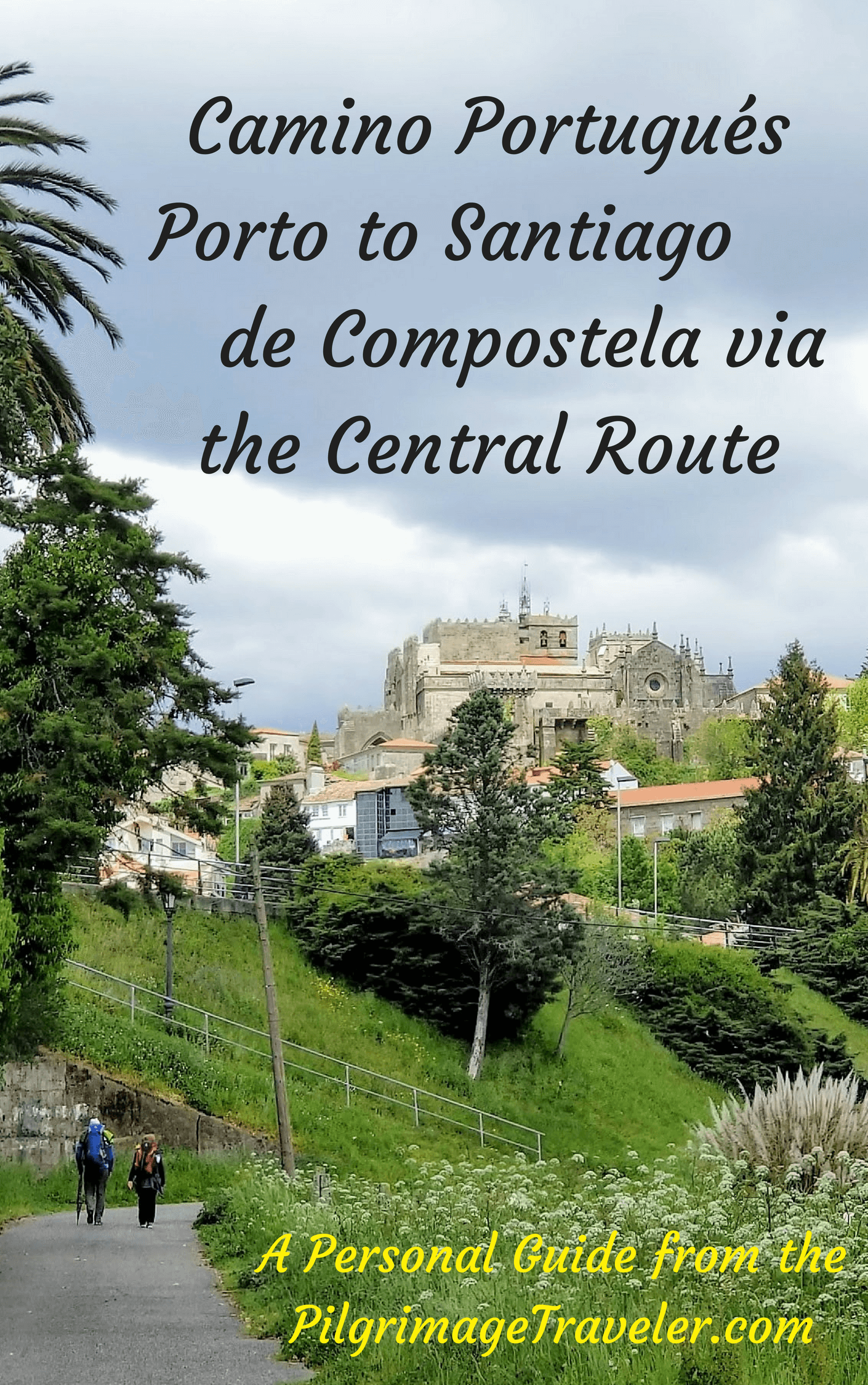
The Most Historic of the Portuguese Caminos - not to be missed! Updated for 2024!
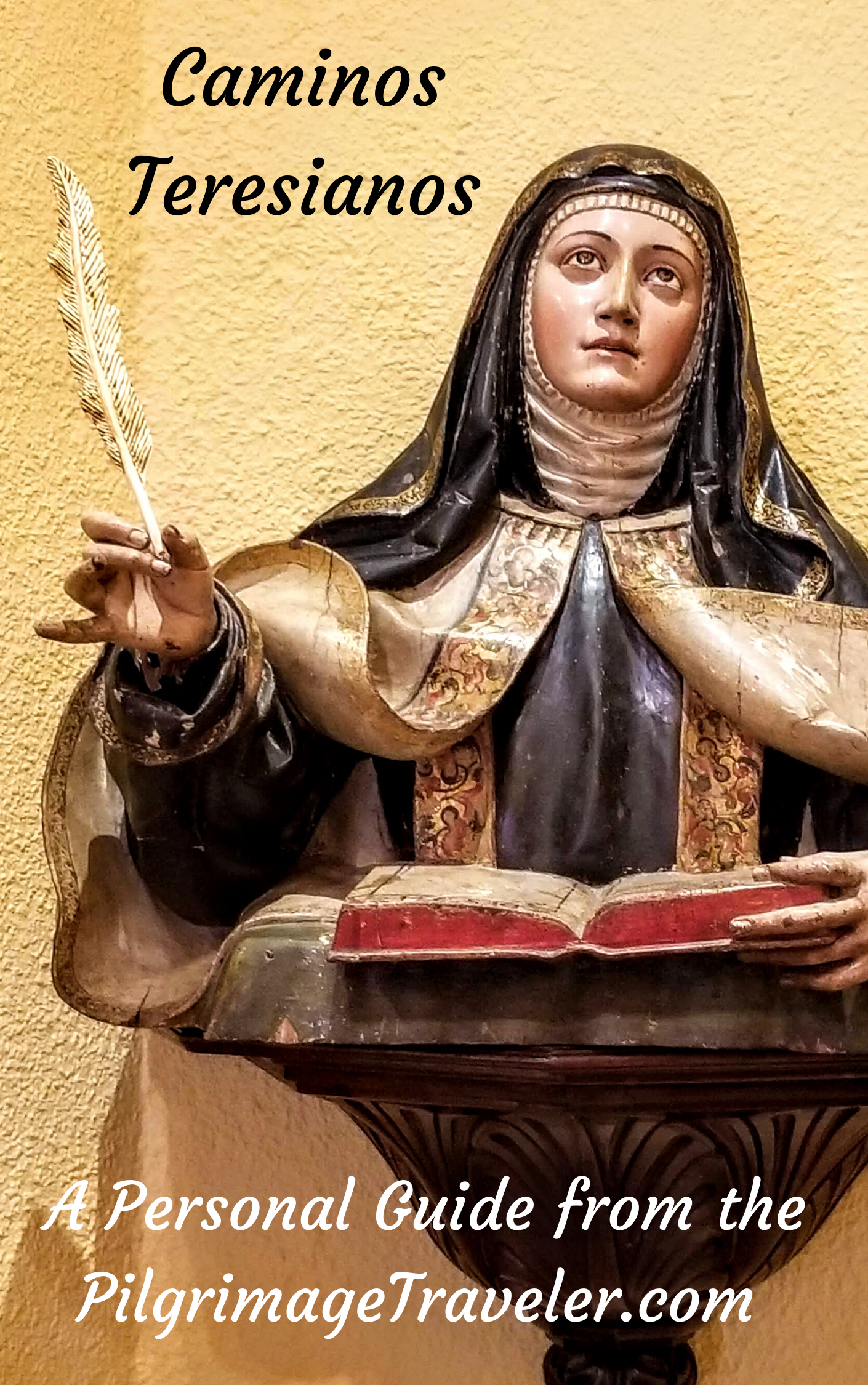
The Spiritual Adventure of a Lifetime, Following in the Footsteps of St. Teresa of Ávila!
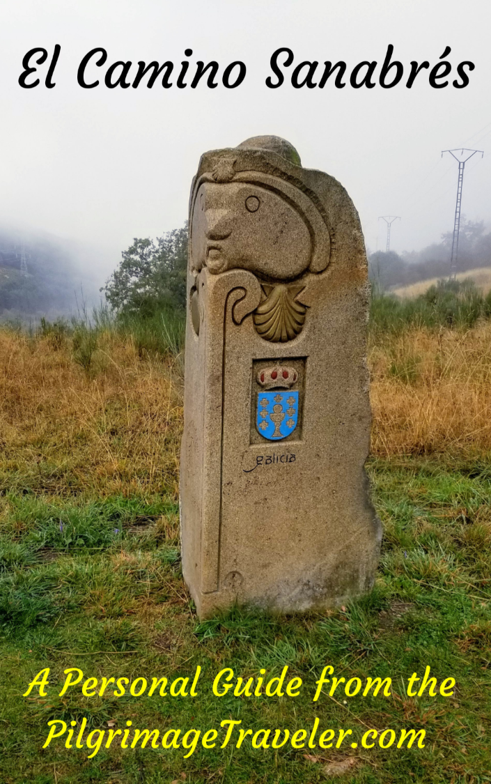
The Amazing Mountain Route Alternative, the Camino Sanabrés, from Granja de Moreruela on the Vía de la Plata!
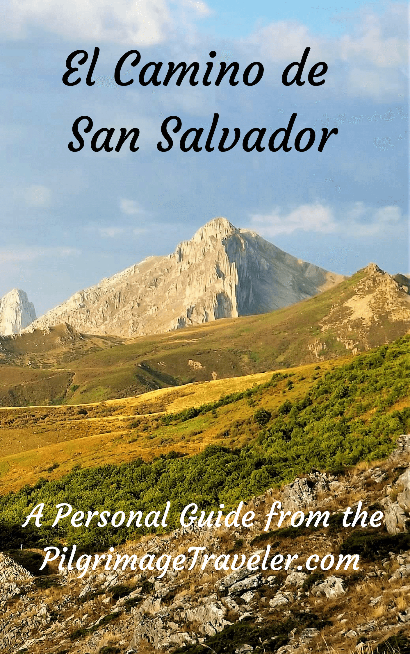
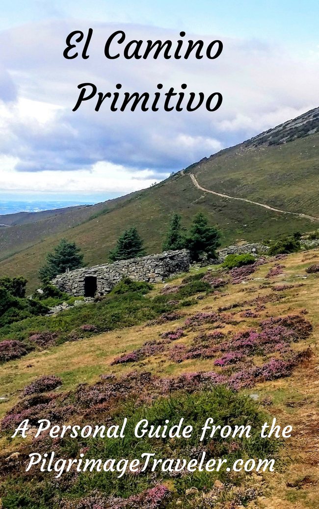
The Most Incredible Mountain Scenery on this Camino from Leon to Oviedo!
The Shortest of the Caminos, but Not Easy!
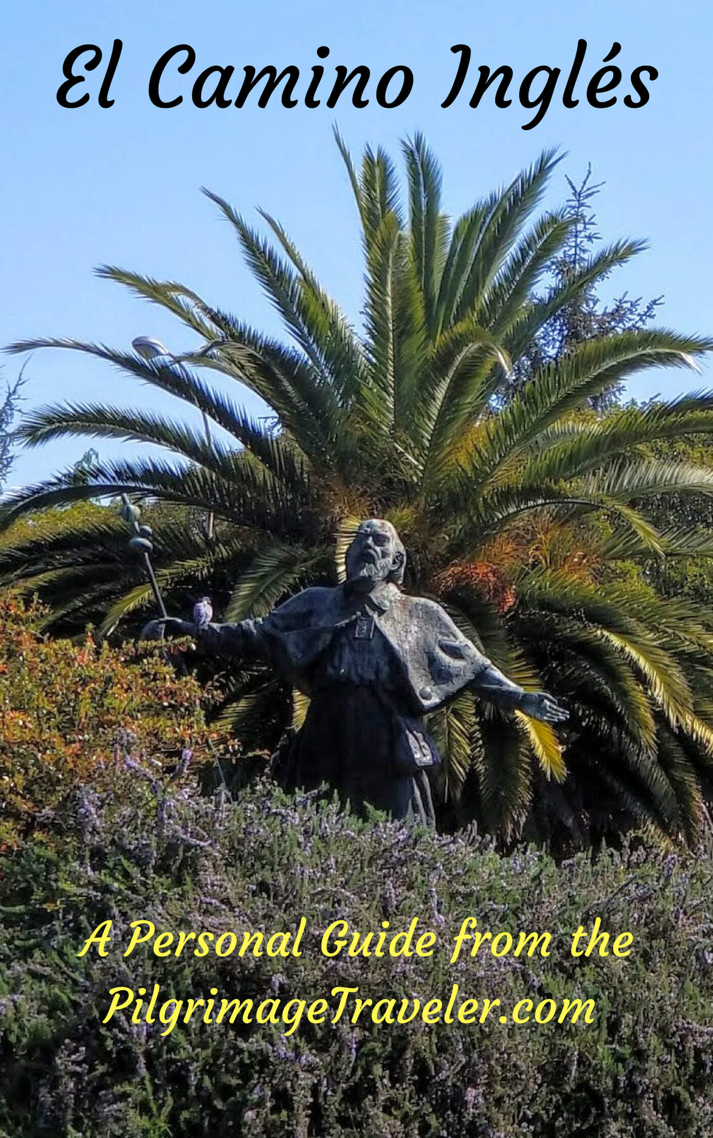
The Very First, Original Camino from Oviedo to Santiago
The Pilgrimage to the End of the World - A Must Do!
All Banners, Amazon, Insurance and Booking.com links on this website are affiliate links. As an associate of these companies, the Pilgrimage Traveler website will earn from qualifying purchases when you click on these links. We have used and love all of our product recommendations and believe you will too! We sincerely thank-you!
Follow Me on Pinterest:
Follow Me on Instagram:
Find the Pilgrimage Traveler on Facebook:
Like / Share this page on Facebook:
***All Banners, Amazon and Booking.com links on this website are affiliate links. As an Amazon associate and a Booking.com associate, the Pilgrimage Traveler website will earn from qualifying purchases when you click on these links. We sincerely thank-you as this is a pilgrim-supported website***
PS: Our guide books are of our own creation and we appreciate your purchase of those too!!
Shroud Yourself in Mystery, along the Via de Francesco!

Walk in the Footsteps of St. Francis, and Connect Deeply to the Saint and to Nature in the Marvelous Italian Countryside!
Recent Articles
-
Day Twenty-Two A on the Coastal Route of the Camino Portugués, Vigo
Feb 24, 24 07:43 AM
 Day twenty-two, Part A on the Coastal Route of the Camino Portugués, is a very short stage, using the high, flat and easy plateau trail system, called the Senda da Auga.
 -
Day Twenty-One on the Senda Litoral of the Camino Portugues
Feb 13, 24 04:22 PM
 Our day twenty-one on the Senda Litoral of the Camino Portugués was a fabulous walk along the sea, passing beach after beach!
 -
Day Twenty on the Senda Litoral of the Camino Portugués
Feb 06, 24 03:56 PM
 Day twenty on the Senda Litoral of the Camino Portugués, shares the beginning 7.6 kilometers with the Coastal Route.
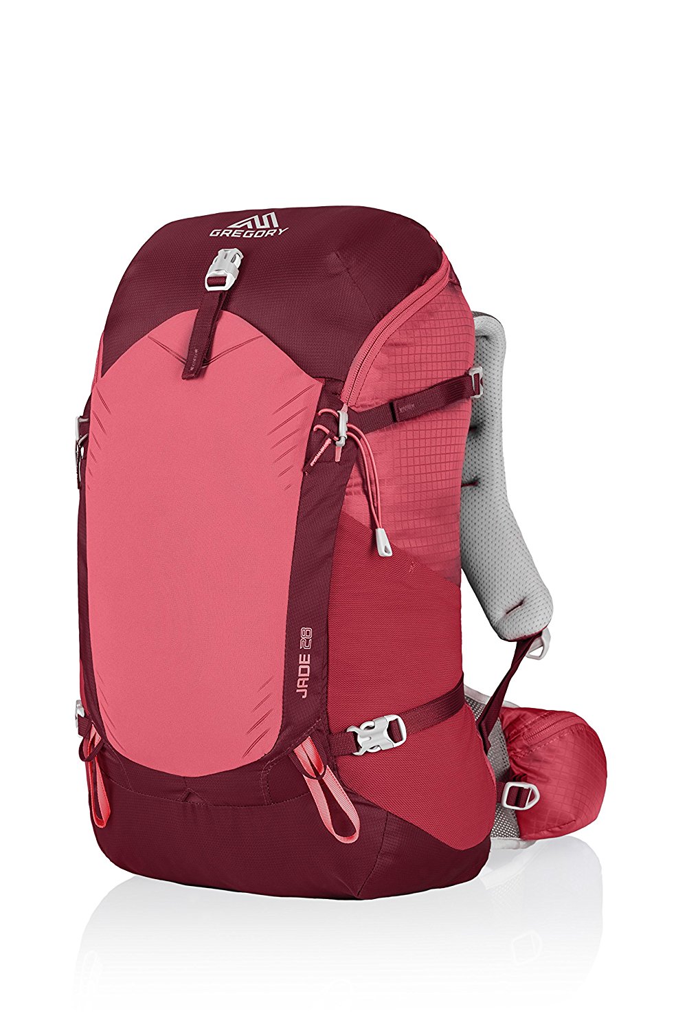
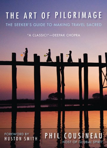
Need suggestions on what to pack for your next pilgrimage? Click Here or on the photo below!
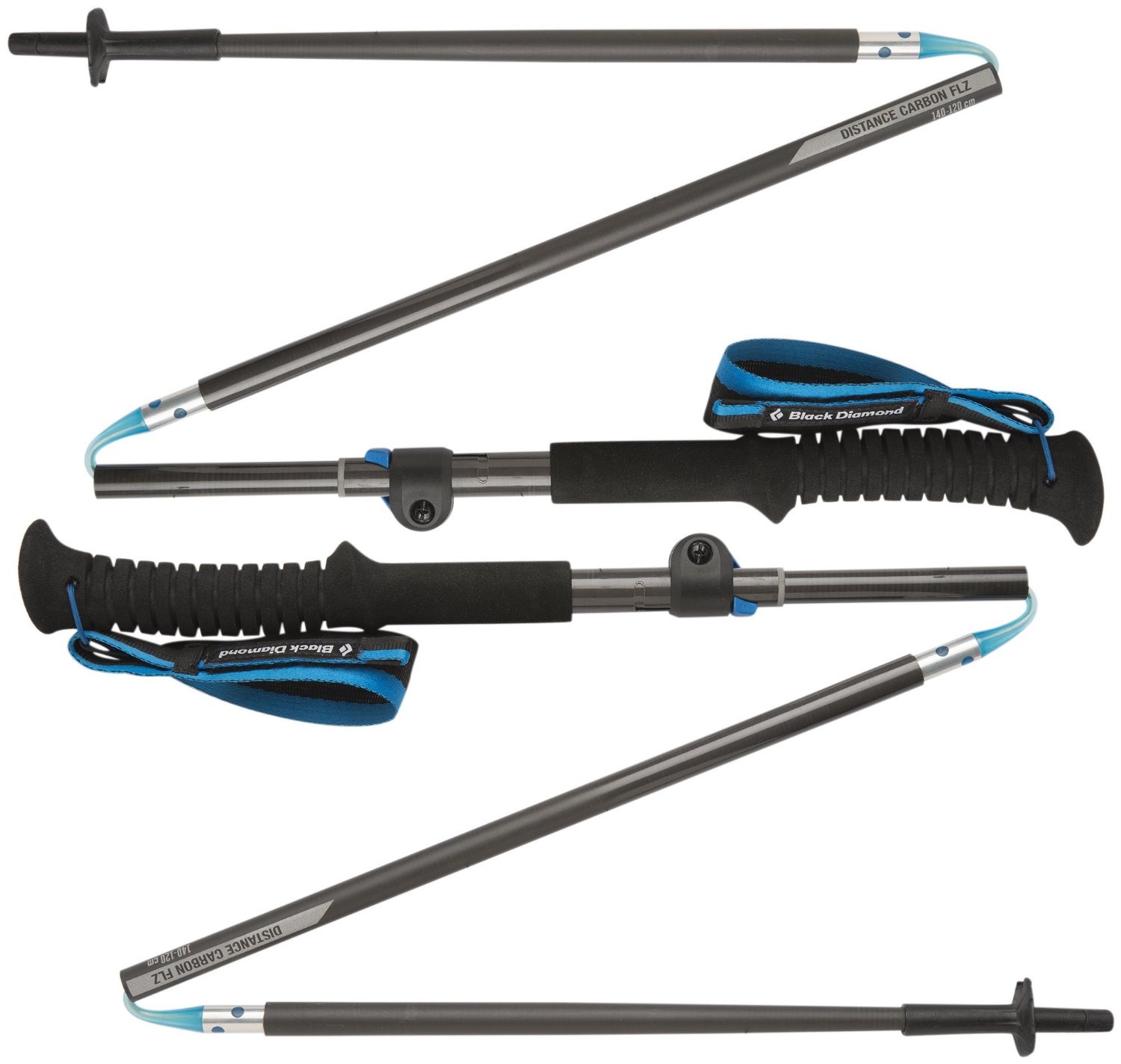
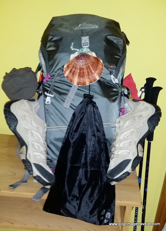
Carbon fiber construction ( not aluminum) in a trekking pole makes them ultra lightweight. We like the Z-Pole style from Black Diamond so we can hide our poles in our pack from potential thievesbefore getting to our albergue! There are many to choose from! ( See more of our gear recommendations! )
Gregory BackPack - My Favorite Brand
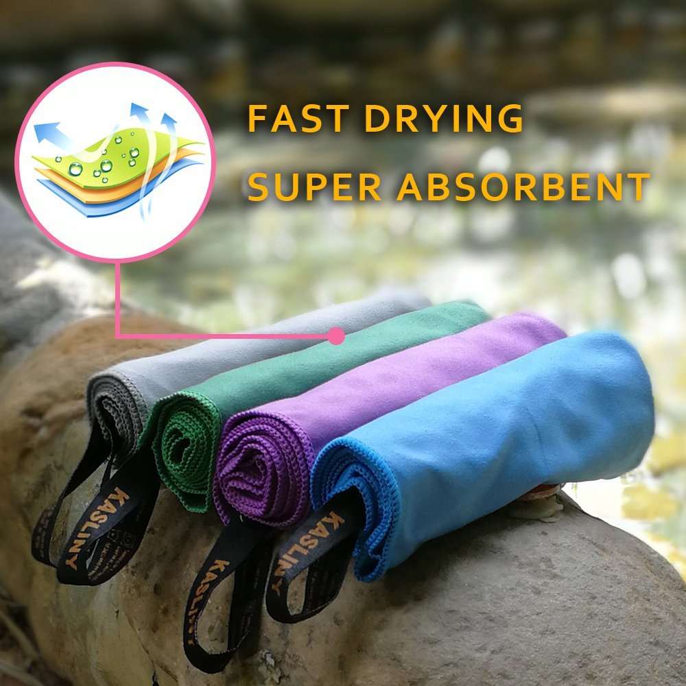
Do not forget your quick-dry microfiber towel!
Booking.com
My absolute favorite book on how to be a pilgrim:


Your Opinion Matters! Comments
Have you had a similar experience, have some advice to give, or have something else you'd like to share? We would love to hear from you! Please leave us a comment in the box below.