- ~ Home
- Camino Finisterre
- Day One, Santiago to Negreira
Jump to Camino Finisterre and Muxía Stages
Day One on the Camino to Finisterre
~ Santiago to Negreira, 20.8 Kilometers (12.92 Miles)
Disclosure: the PilgrimageTraveler.com is an associate of Booking.com, Roamless, and Amazon. As associates of these merchants, we earn from qualifying purchases from our links.
Day one on the Camino to Finisterre, after leaving Santiago de Compostela, is a beautiful Camino through an enchanted forest, medieval towns and gorgeous countryside. After walking this way several times, I continue to find it enchanting, and even, perhaps my favorite Camino!
There is something special with the Camino de Santiago a Fisterra that never ceases to draw in the pilgrimage traveler. Perhaps it is the mystique of continuing this ancient pagan tradition to walk to the End of the World.
"The Road goes ever on and onDown from the door where it began.
Now far ahead the Road has gone,
And I must follow, if I can,
Pursuing it with eager feet,
Until it joins some larger way
Where many paths and errands meet.
And whither then? I cannot say"
~ J.R.R. Tolkien The Fellowship of the Ring
🙋♀️ Why Trust Us at the Pilgrimage Traveler?
We’re not a travel agency ~ we’re fellow pilgrims! (See About Us)
We've trekked Pilgrimage Routes Across Europe since 2014!
💬 We’ve:
- Gotten lost so you don’t have to. 😉
- Followed waymarks in the glowing sunlight, the pouring rain and by moonlight. ☀️🌧️🌙
- Slept in albergues, hostels & casa rurals. Ate and drank in cafés along the way. 🛌 😴
- Created comprehensive and downloadable GPS maps and eBook Guides, full of must-have information based on real pilgrimage travels. 🧭 🗺️
- Shared our complete journeys, step by step to help YOU plan your ultimate pilgrimage and walk with your own Heart and Soul. 💙✨
Every detail is from our own experiences. Just fellow pilgrims sharing the Way. We have added a touch of spirituality, heartfelt insights and practical guidance from the road ~ offering a genuine connection to the spirit of pilgrimage. Tap into the wisdom of seasoned pilgrims!
Ultreia and Safe Pilgrimage Travels, Caminante! 💫 💚 🤍
Maps and Stats of Day One, Camino to Finisterre
Here is our Google map of the day. I added accommodations, cafés and supermarkets along the way for your reference to help you plan your day. I did not place accommodations nor cafés for Santiago de Compostela, in the city proper, as these are so numerous! If you are seeking advanced reservations for Santiago, which I definitely recommend you do, click here. I have located on the map below, low-cost albergues near the cathedral as well.
For albergues in Negreira, keep reading!
The actual day one of the Camino Finisterre is not too difficult, as you can see from our elevation profile below. The elevation map shows very little change in elevation and the first part is an ambling up and down.
There is a long hill climb out of Aguapesada of about two kilometers and 200 meters of elevation gain (650 feet) that you will feel. It only took us about a half hour to complete and is the most strenuous part of the day.
You can do as we did, and stop for a break in Aguapesada, having coffee and a snack to help power you up the long hill! Because the day is only 21 kilometers, we felt it was quite manageable.
👣 Camino Finisterre and Muxía eBook Guide
Our Downloadable Camino Finisterre eBook Guide in PDF Format contains all the valuable information from our web pages, for comfortable reading offline and without ads on your personal device. Don't carry a hard copy guide book to increase your pack weight. Use our digital guides on your next Camino instead!
Our ebook guide is packed with frequently updated information, because a digital format is more nimble than hard-copy publishing. Our eBook Guide is unique because we also entertain and immerse you with our story!
📲 Instant download. 💸 Money-back guarantee. 🔄 Free updates for 1 year.
We cover the entire circular route to both Finisterre and Muxía so you can choose to go to either or both! Click here for your copy or BUY NOW!
Jump to Camino Finisterre and Muxía Stages
Photo-Rich Travelogue of Day One on the Camino to Finisterre
We had scoped out The Way to Finisterre and its start, the day before, so we were all set. The Way starts in the northwest corner of the Plaza do Obradoiro, on the west side of the Cathedral de Santiago.
The first steps you take are down the Rúa das Hortas, shown below left. This is how it looks as you leave the plaza by the Parador. At the bottom of the ramp, you will see the Igrexa de San Frutuoso church on your left, by a police station. You can see a police car parked in front of the church, below right.
This is actually the same street as you would take to walk from the cathedral to the Pilgrim's Office.
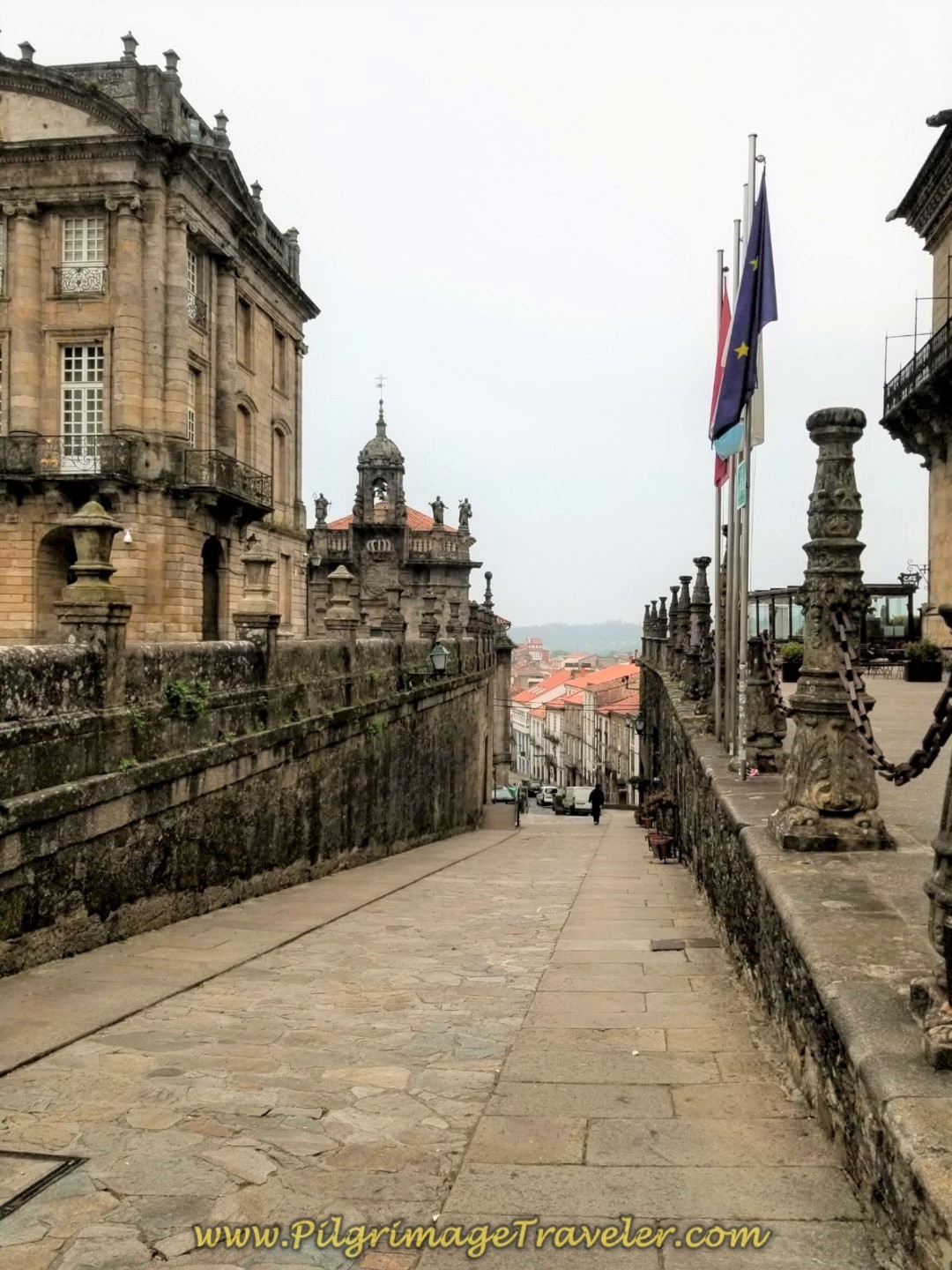 Leaving Obradoiro Square
 Igrexa de San Frutoso
Instead of turning right towards the Pilgrim's Office, continue onward for about one third kilometer and come to the first intersection, shown below. Many roads come together here and it's imperative that you get the right one. It is a bit confusing.
Go to the left, and up the hill a bit, crossing the crosswalk straight onward. Look for the Camino sign and a street called the Rúa do Cruceiro do Gaio. This is the street you want.
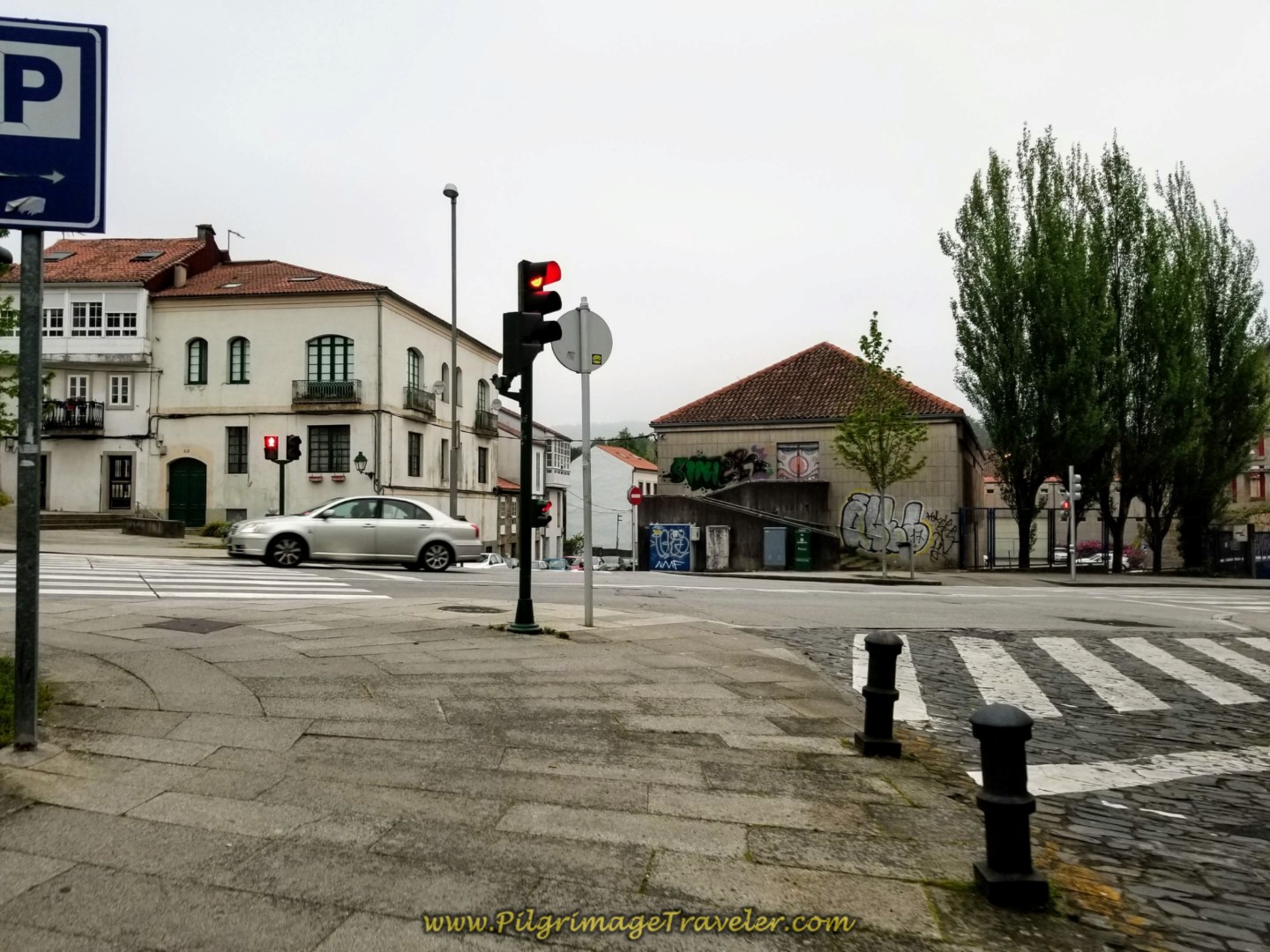 Find the Rúa do Cruceiro do Gaio at this Intersection
A few meters later, this is how the correct street will look, below. Continue on this street for one-half kilometer, as it changes names several times walking through Santiago.
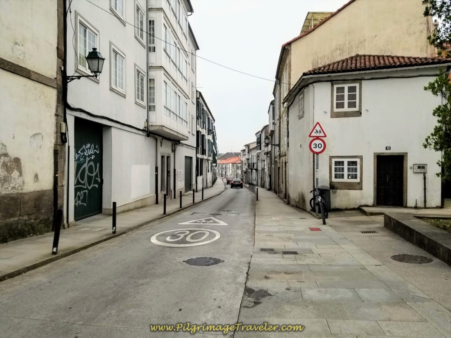 Continue on Rúa do Cruceiro do Gaio
If you are looking for breakfast, we passed by several open cafés at 7:30 a.m., along these streets in Santiago. After you leave the city the way becomes quite rural and there is nothing until 6-7 kilometers into the day, at Os Arcos. (See below).
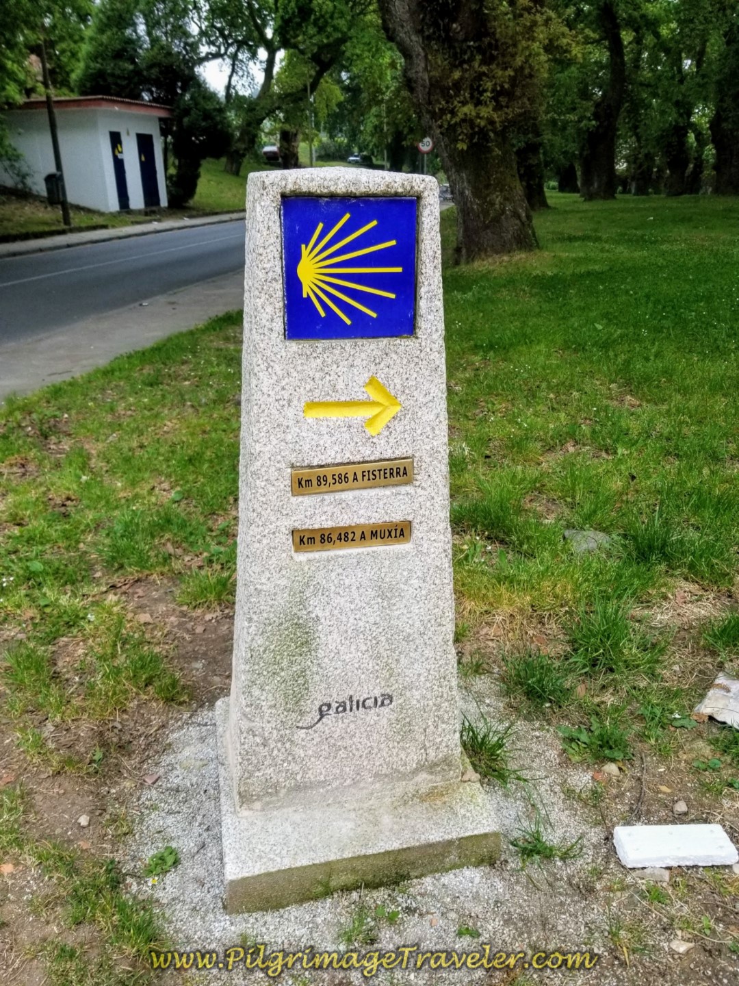
After walking the 1/2 kilometer, come to a small park at a large intersection. Here you will see the first prominent waymark on day one on the Camino Finisterre, shown below. It is 89.536 kilometers to Fisterra and 86.482 to Muxía (pronounced moo-SHEE-ah).
All of the kilometer markers along this Camino have the number of kilometers left to go for both routes, Finisterre and Muxía. It is a very nice feature.
Cross the intersection towards the kilometer marker and walk through the park shown below. Turn right at the end of the walkway and pick up the Robleda de San Lourenzo.
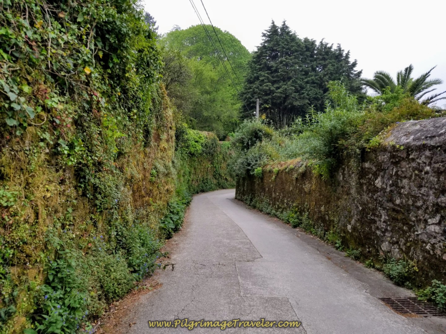
Continue on the street for only a few meters, coming to a T-intersection. Turn left onto the quaint street, the Costa do Cano, shown below. Is this from Lord of the Rings or what?
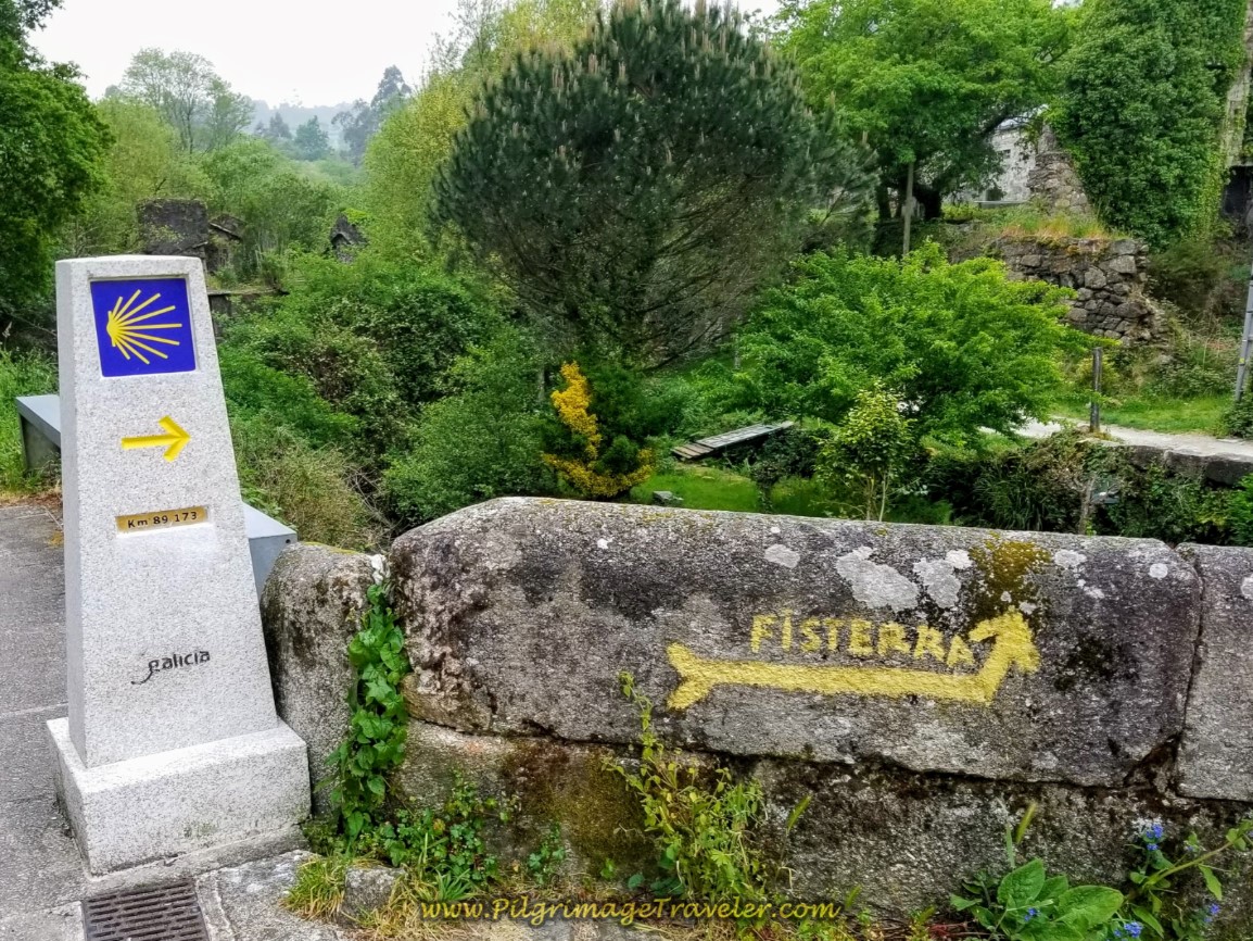
After 1/4 kilometer, come to this waymark, at the bridge, the Ponte Sarela. The kilometer marker says 89.173. Cross the river along the old bridge, and immediately after, the Way turns to the left.
Only a few meters beyond the bridge, the road stays low at a Y-intersection and becomes a path.
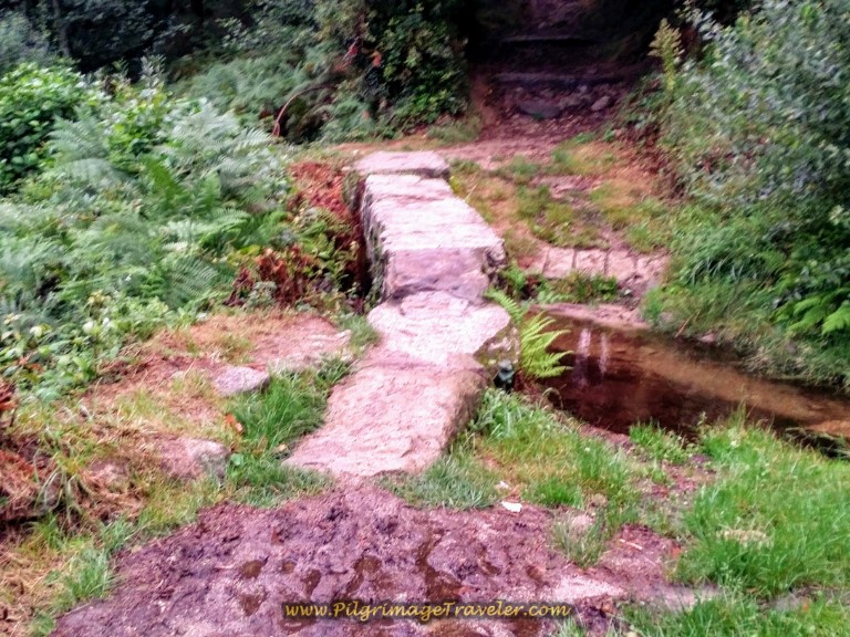
The path descends to cross a small stream on pavers, below, then starts to climb for approximately 1/2 kilometer, up and out of the Sarela River valley.
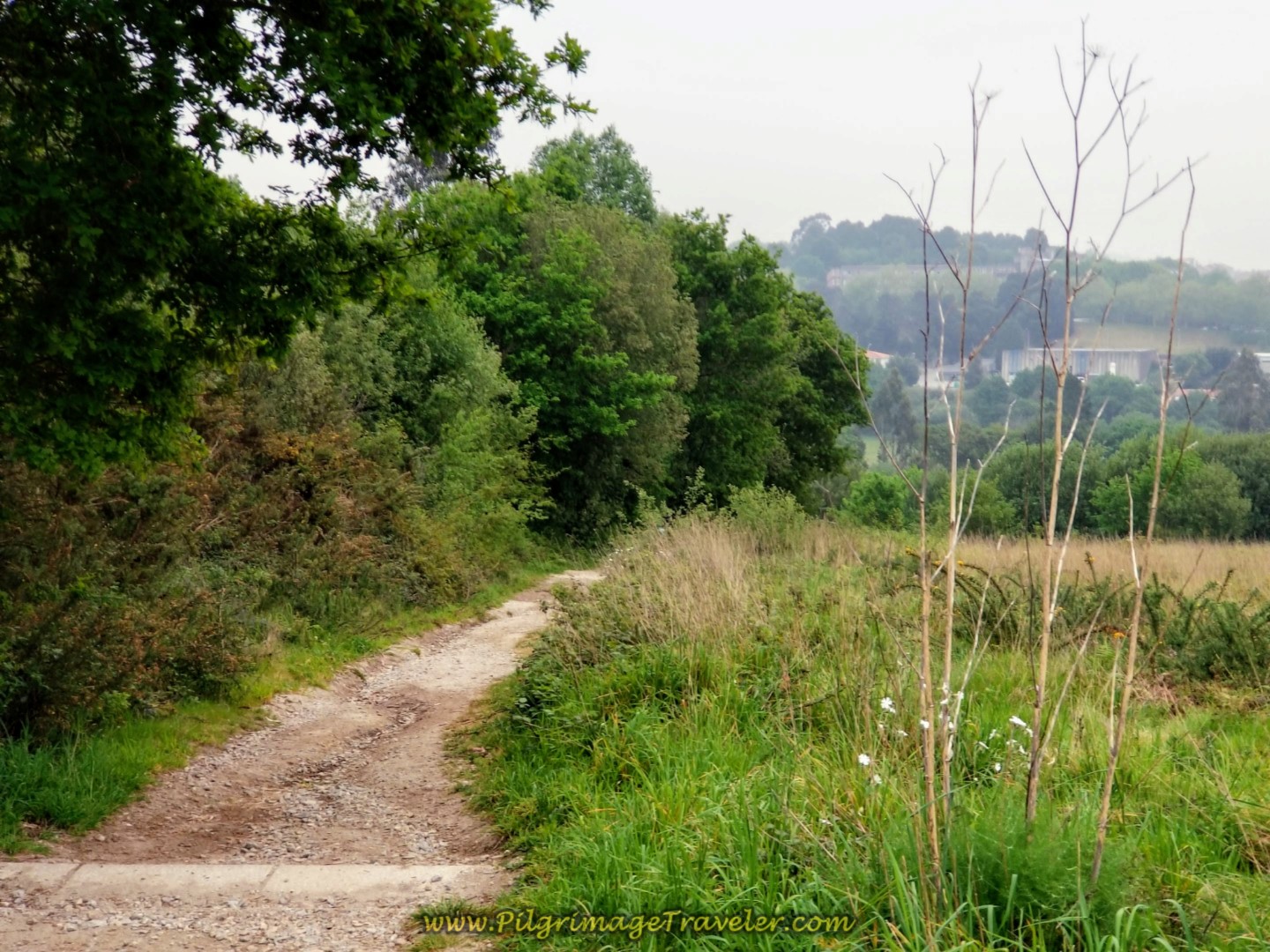 Path Climbs Up and Away From Sarela River Valley
Here is a photo of a pilgrim coming up this path, as we looked back over our shoulders. There are glimpses of the Cathedral in Santiago opening up! Our day one on the Camino Finisterre was very misty as you can see, so you can barely make out the cathedral towers.
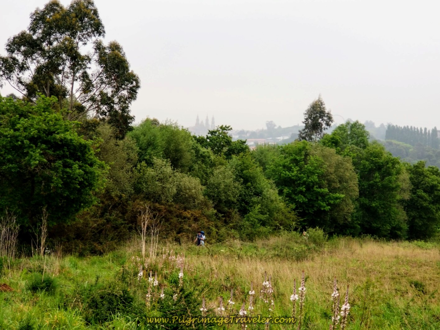 Rear View of the Cathedral in Santiago
The path ends at a T-intersection, shown below, and you turn left onto a high plateau road, the Rúa Sarela de Abaixo. If you were to turn right here, in only a few meters up the hill is another accommodation near Santiago called the Sarela Apartments. The place looks like a lovely alternative to the city if you wish to stay for several nights.
Make sure you look back towards Santiago as you walk through here, as the views are stunning. May you be blessed with clear weather to see them!
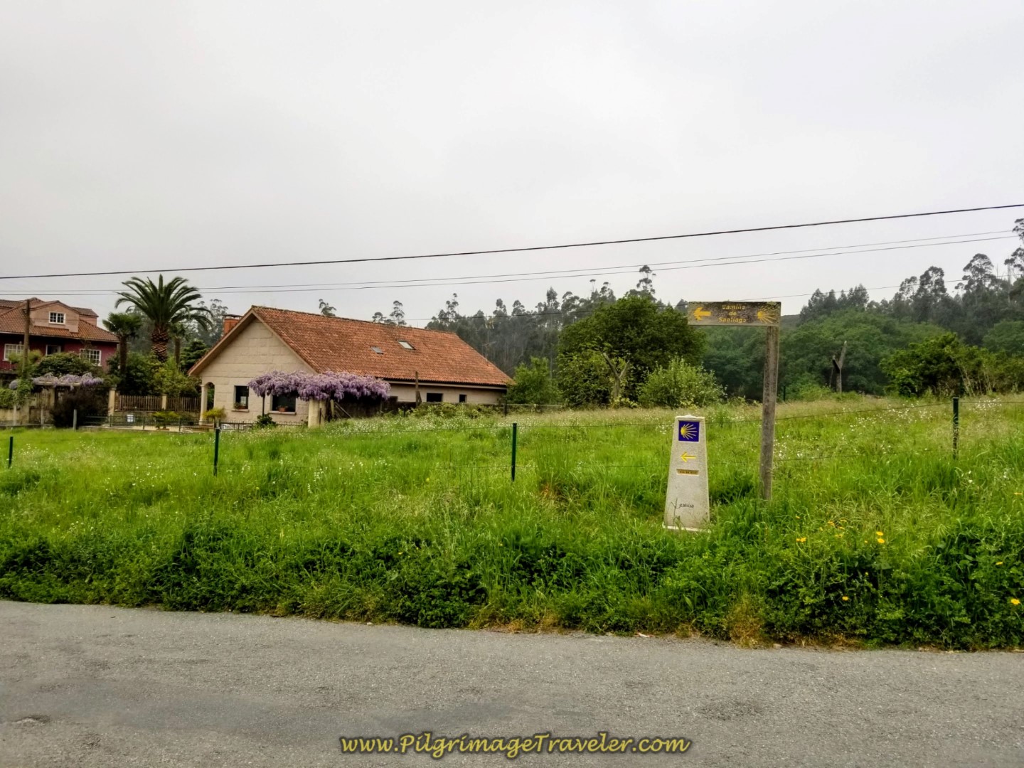 Turn Left onto Rua Sarela de Abaixo
A truly magical moment occurred as I climbed out of the city of Santiago de Compostela my first time through here. I looked back at the roof of clouds that prolonged the sunrise. This vista below, was brought before my eyes, so very stunning in the light that framed the cathedral to perfection. What a treat! The glory of the Earth never fails to enthrall me!
Walk down the hill a few hundred meters and come to the next turn to the right, onto a country lane.
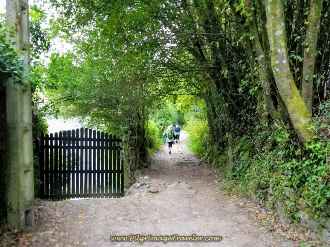
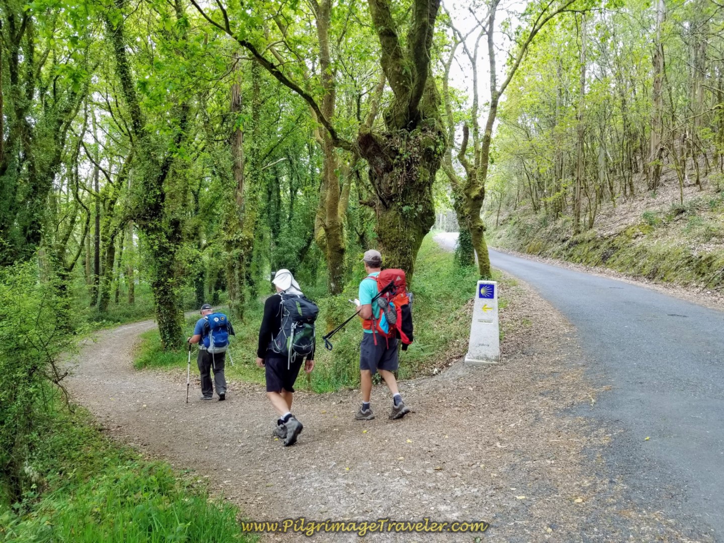
After a few meters, the lane becomes a forest path, quite lovely and shaded. We followed this path for a full 1.3 kilometers. You will encounter lots of kilometer markers along this way. The trail descends quite steeply on gravel through here, so be alert and use your poles if you have them!
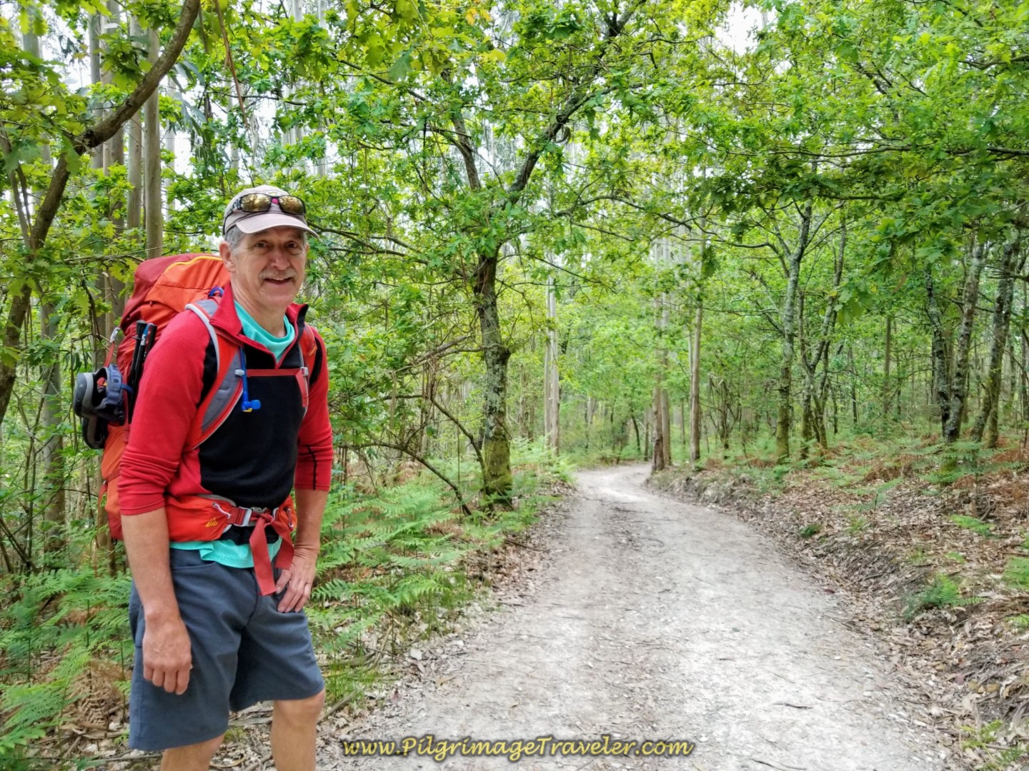 Rich on Forest Path
After 1.3 kilometers of walking, the path comes out at road, and the Camino leads you right onto this pavement called the Moas Abaixo.
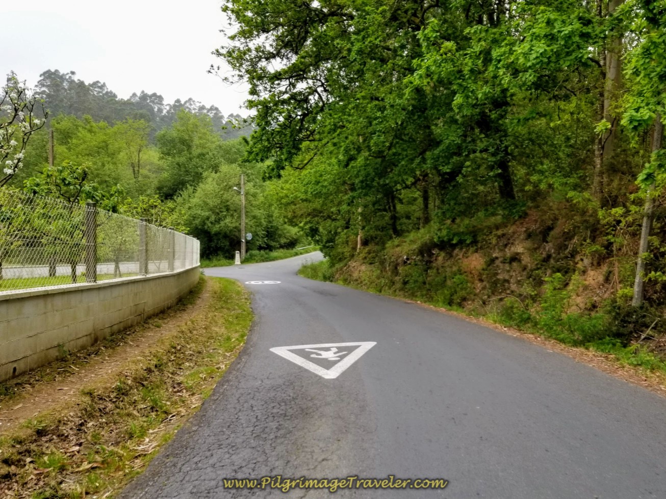 Right Turn Onto Moas Abaixo
After returning to the pavement, the Camino meanders through the countryside, for more than 2.0 kilometers on more quiet roads skirting the next town of O Carballal, shown in the next photos.
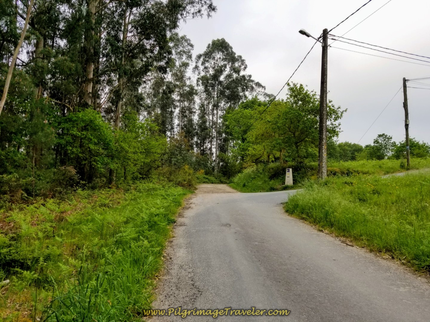 Right Turn Towards Next Village of O Carballal
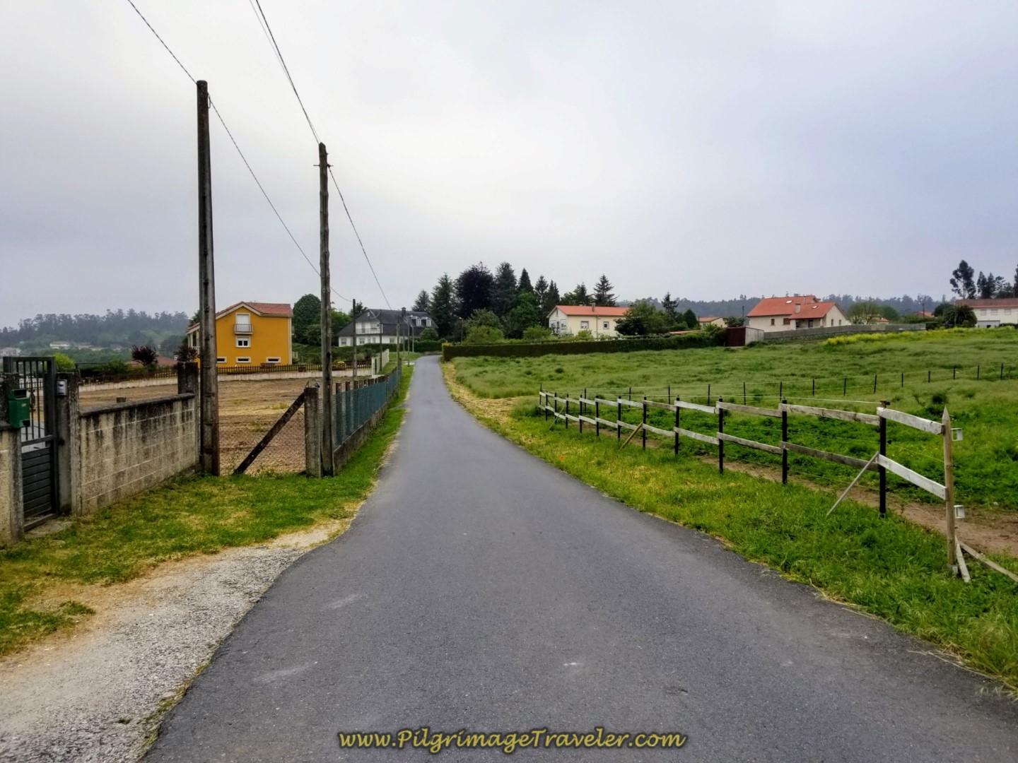 Pavement Through the Rural Way
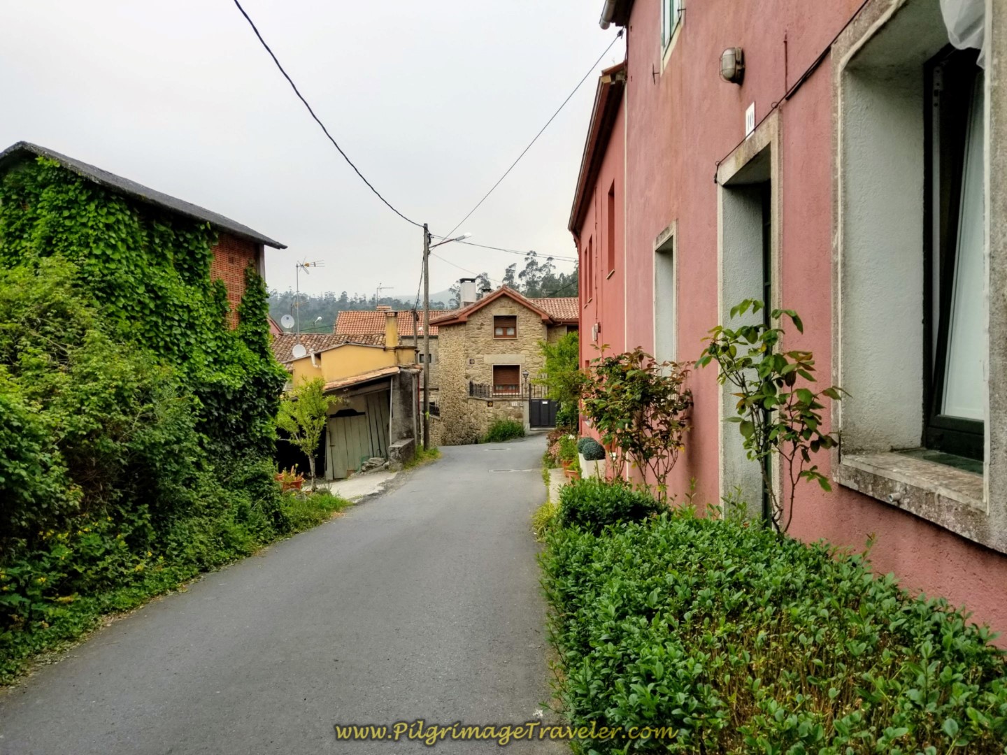 Meandering Through a Cluster of Homes
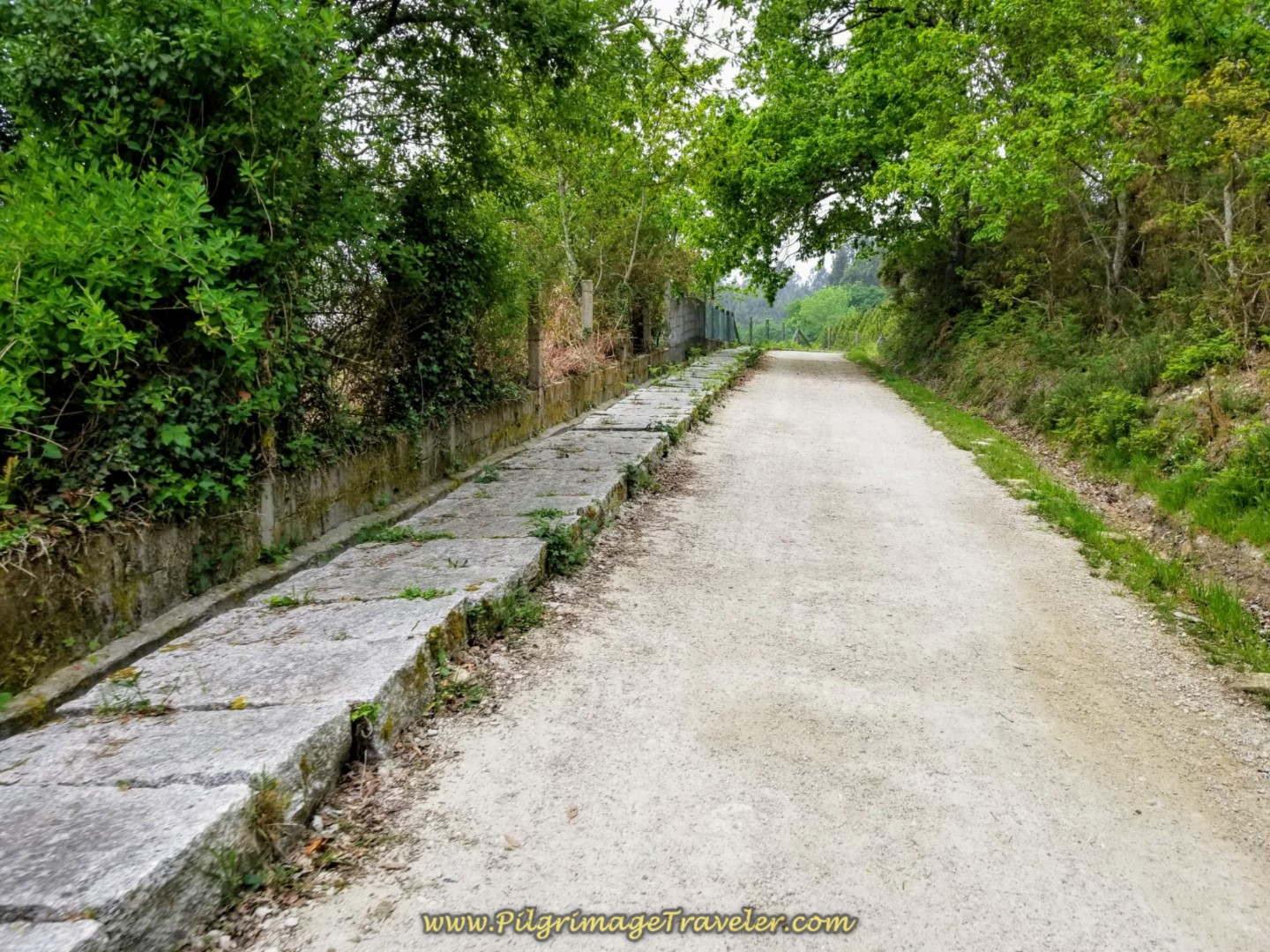 A Section of Road with Pavers to Walk Upon
 The Outskirts of O Carballal
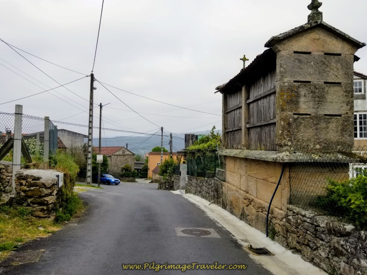
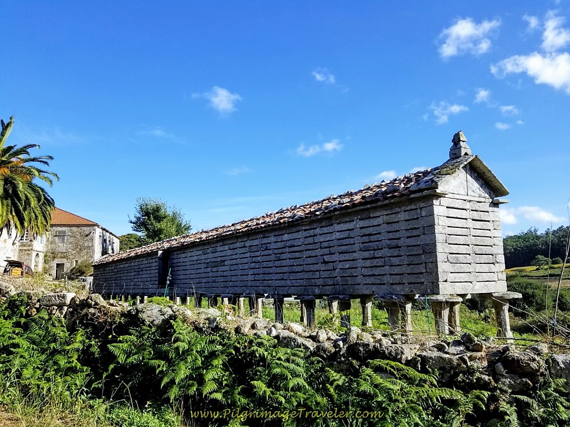
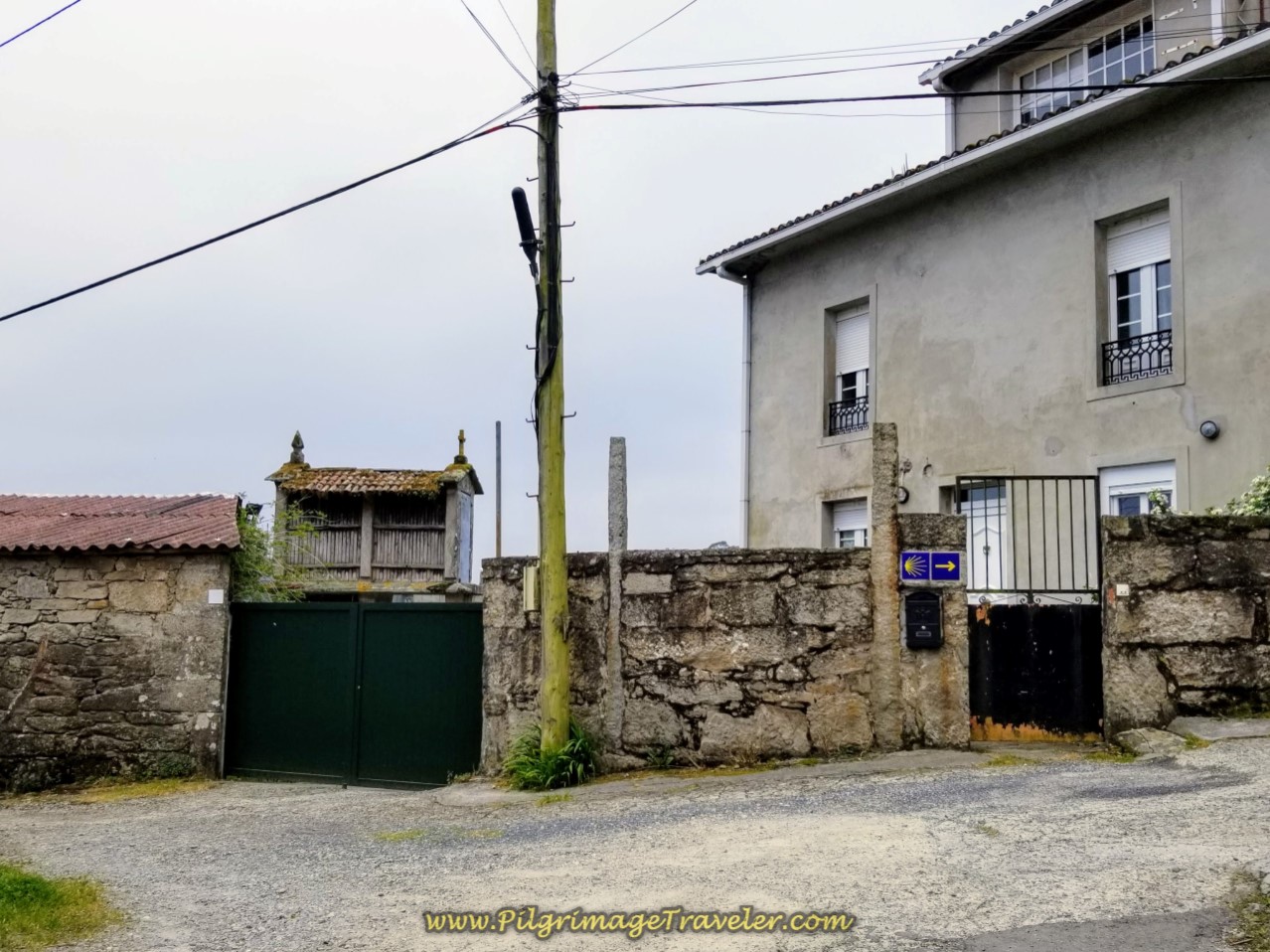 Right Turn at Horreo (Granary) in O Carballal
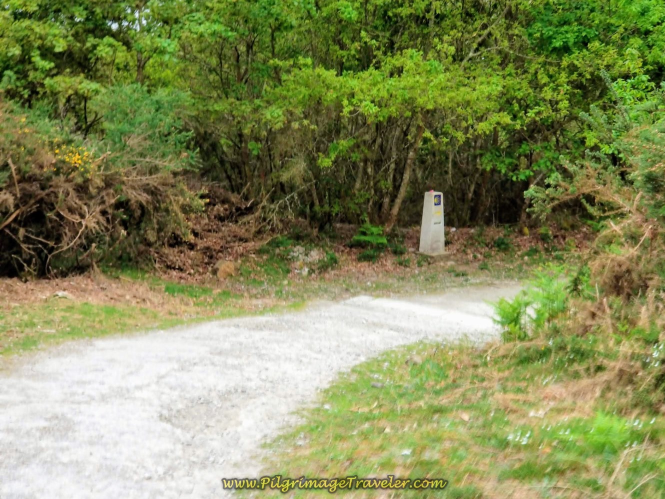
In the final 150 meters of the pavement meanderings of about 2.0 kilometers total and after the turn above at the hórreo, you come to an intersection, where you walk straight across the road and onto the second pathway system. You pass by the 84.482 kilometer marker, shown in the photo below. 5.5 kilometers down, about 15 left to go!
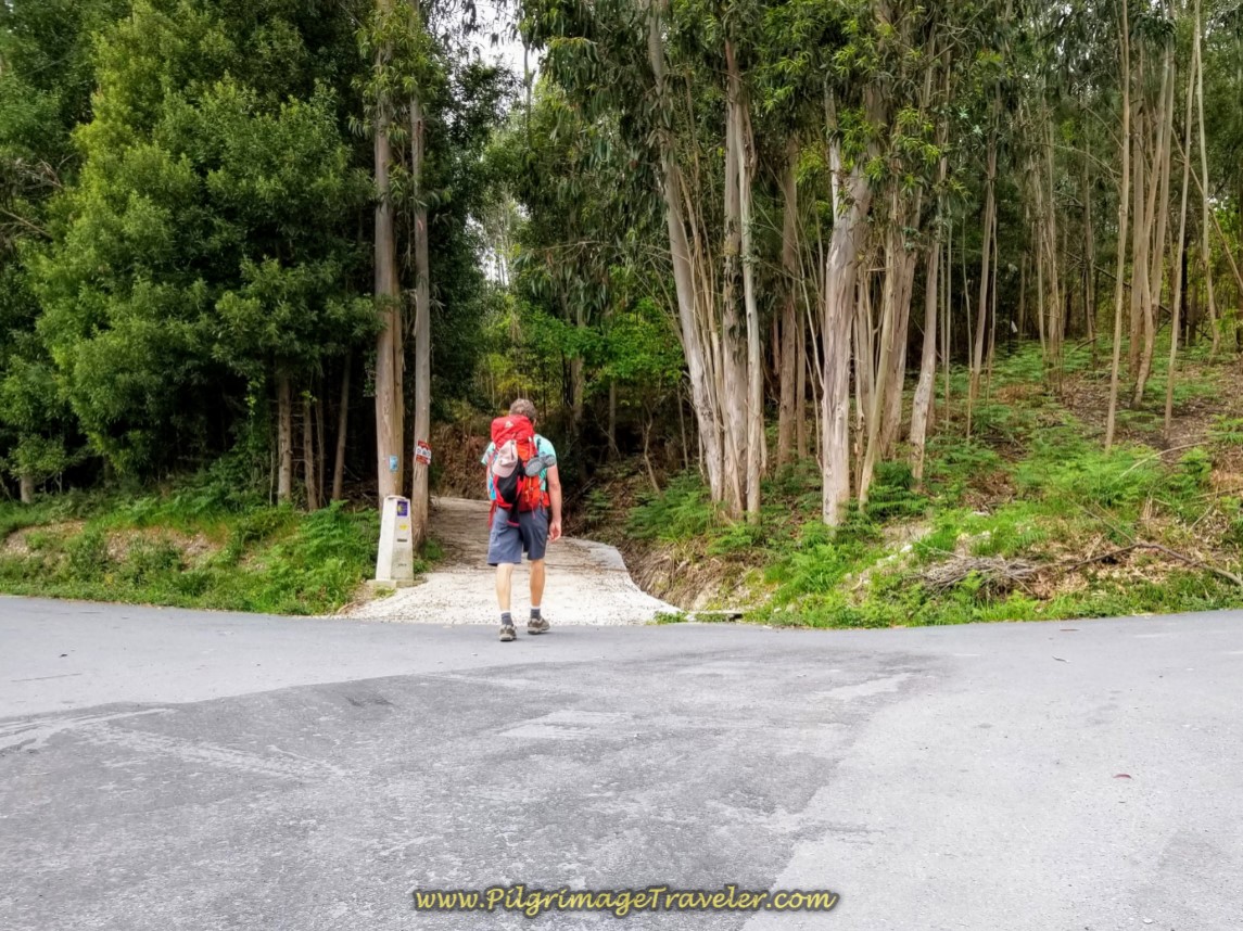 Begin Second Forest Pathway System of Day One on the Camino Finisterre
There is a sign for the Café Os Arcos as you enter the trail system. It is about a kilometer away in the next town of Roxos. This is your first opportunity for coffee and a bite to eat on day one of the Camino Finisterre.
After about 2/3 kilometer in the forest, the Way turns to pavement again and walks toward Roxos. It is another 250 meters, at the blue house, below, where you turn to the right for the Café Os Arcos, a few meters off the Camino. Just follow the signs.
Rich and I said, "Sure! Let's get another café con leche!" It was a shorter day and it is not quite a third of the way into the day at the Café Os Arcos. We were also hoping to hook up with our friends Rob from Australia and Steve from the UK, who had gone on before us. But they were not there. Most likely they were still ahead of us.
Since the short climb out of Santiago, the Camino is essentially downhill to the Os Arcos.
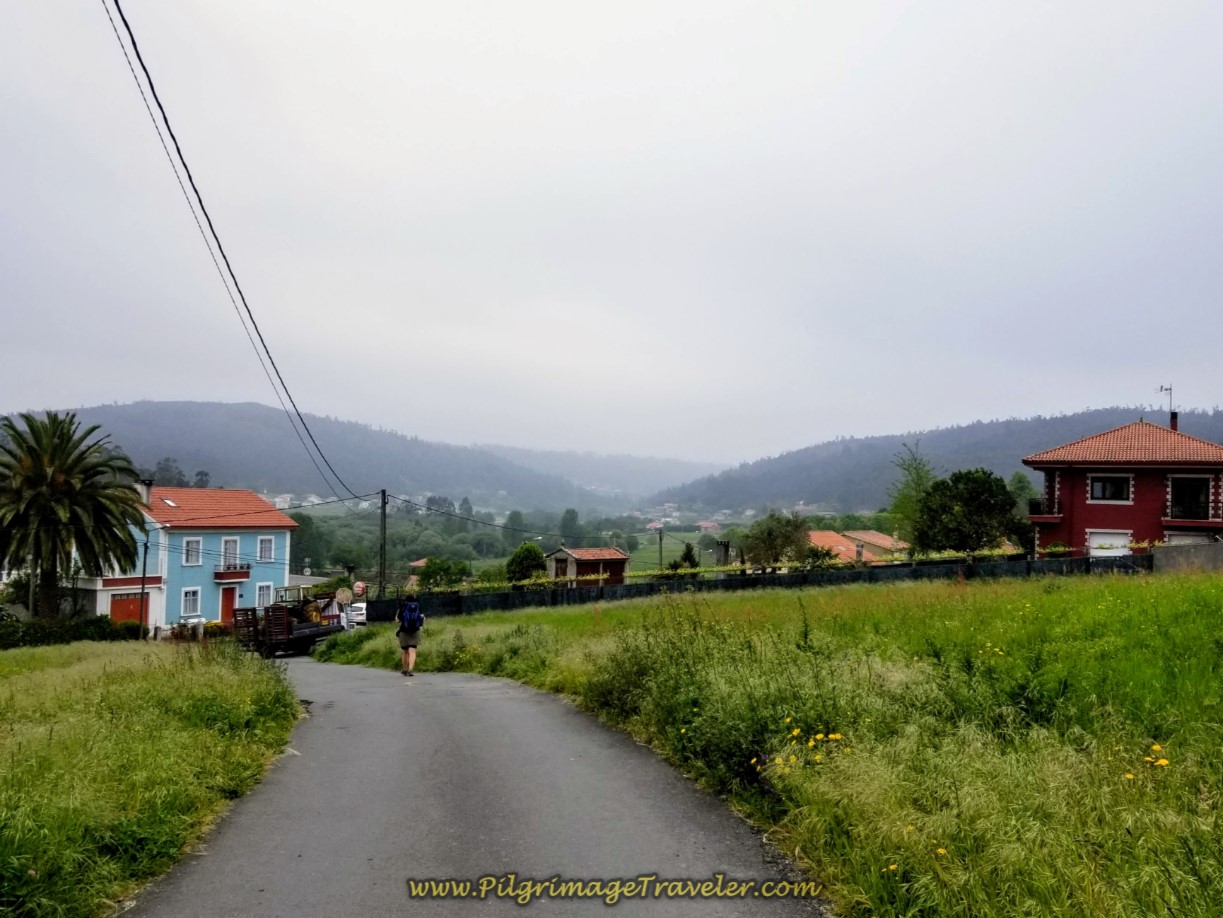 Coming into Roxos and Close to the Café Os Arcos
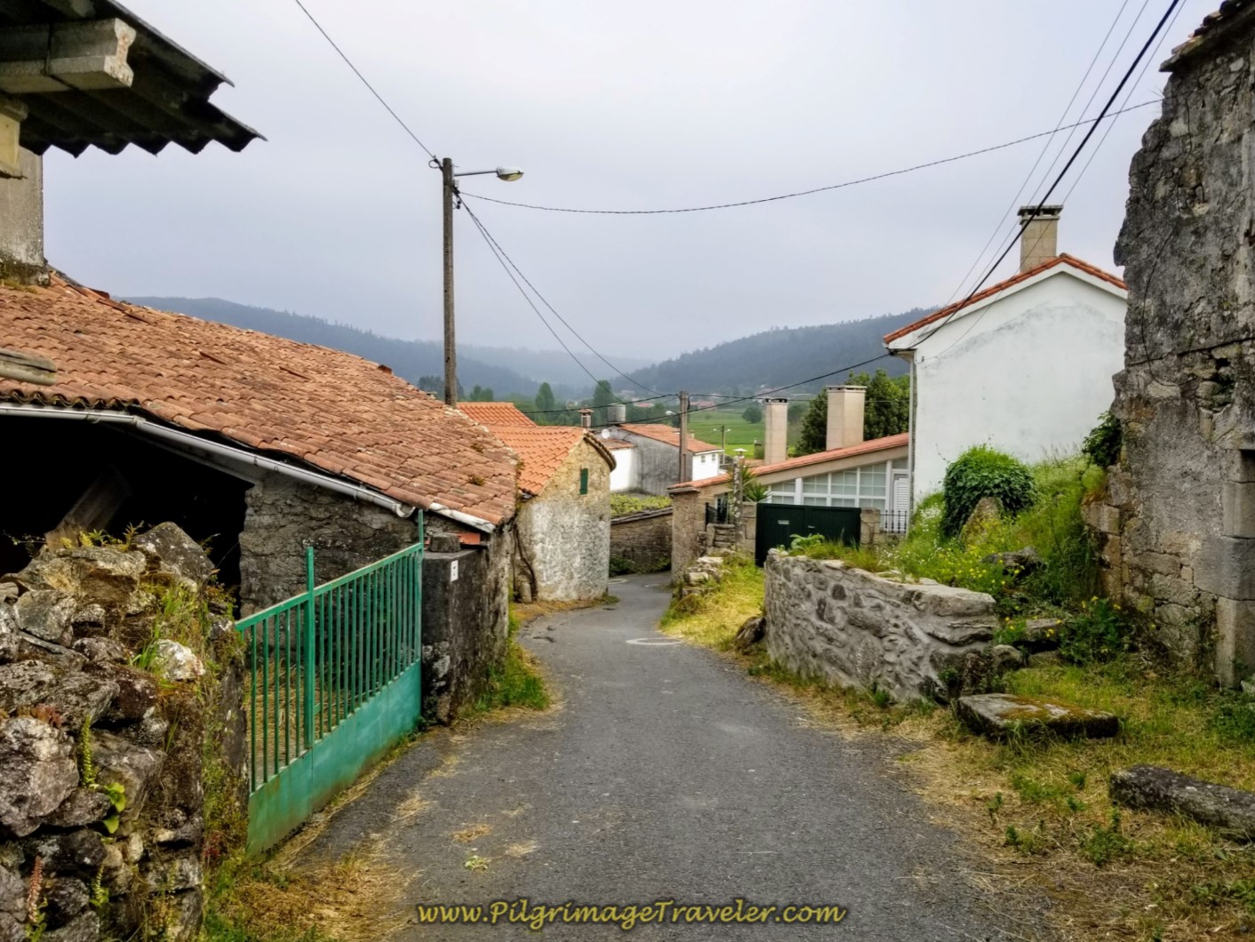
The Way actually goes to the left at the blue house, then an immediate quick right to walk through the village of Roxos, shown below.
You could stay straight on at the blue house, heading south into Roxos proper on the CP-7802 for 600 meters to find two available accommodations, the Hotel O Desvio and the Hotel Asador de Roxos Casa Albardonedo (minimum of two nights). See our Google map above for their exact location if you are in need of a place to stay when you arrive here.
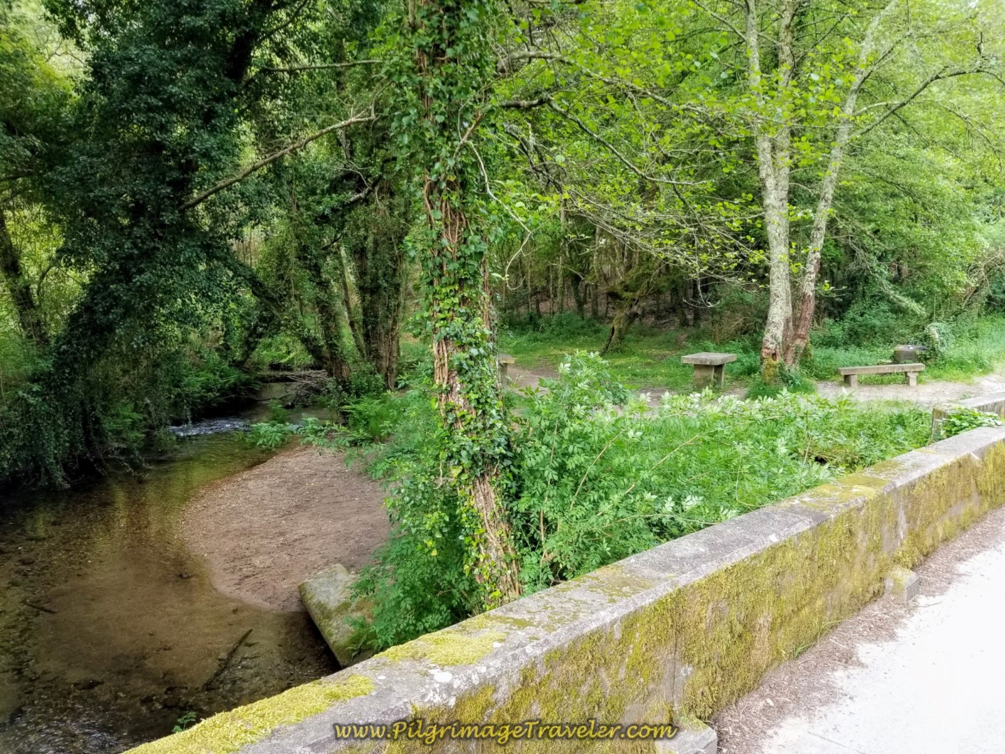
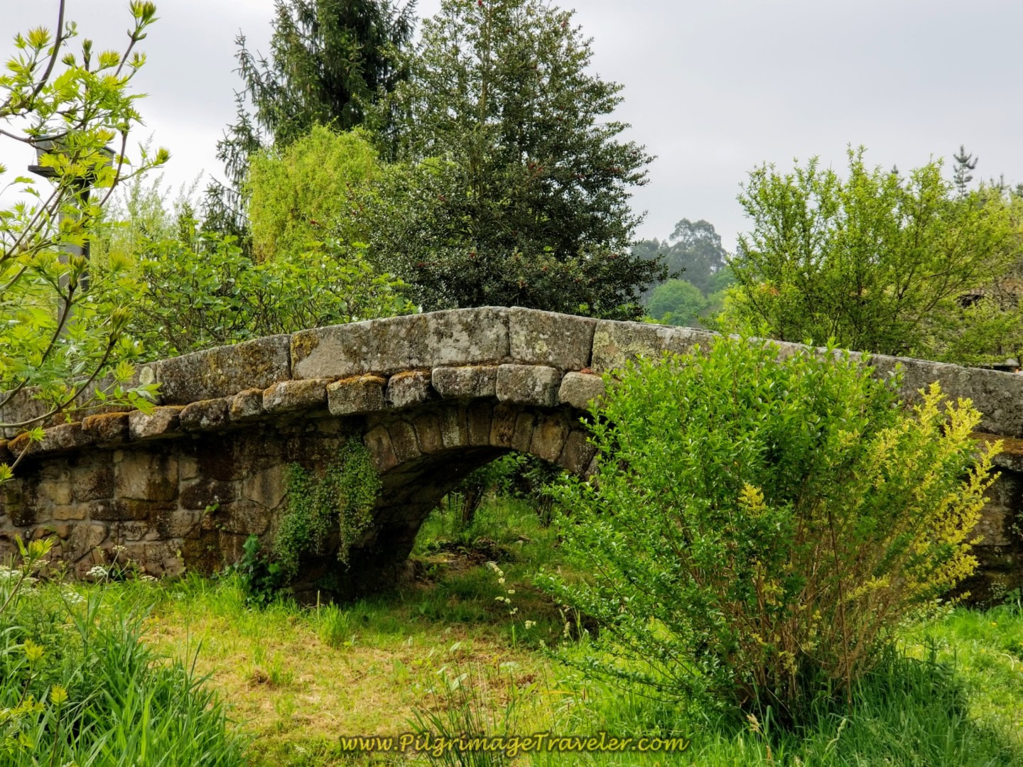
Otherwise you wind around through the streets of the village and in 600 meters from the turn at the blue house, you enter the forest again and come to this lovely shaded picnic area, below. This is where the Camino crosses the river called the Rego de Roxos on another medieval bridge. It would also be an inviting place to rest and have a snack.
Shortly after the river, the Camino reaches a Y-intersection, where it stays to the left, continuing on quiet roads. Eventually the road gives way to a lovely path that takes you onward through the shady forest.
After about 1.2 kilometers from the medieval bridge and through the forest, the path re-joins the pavement and comes to a T-intersection with the AC-453 at a restaurant, the Mesón Alto do Vento.
We turned right here onto the AC-453 for a 600 meter walk on a nice wide sidewalk toward the next town of Ventosa.
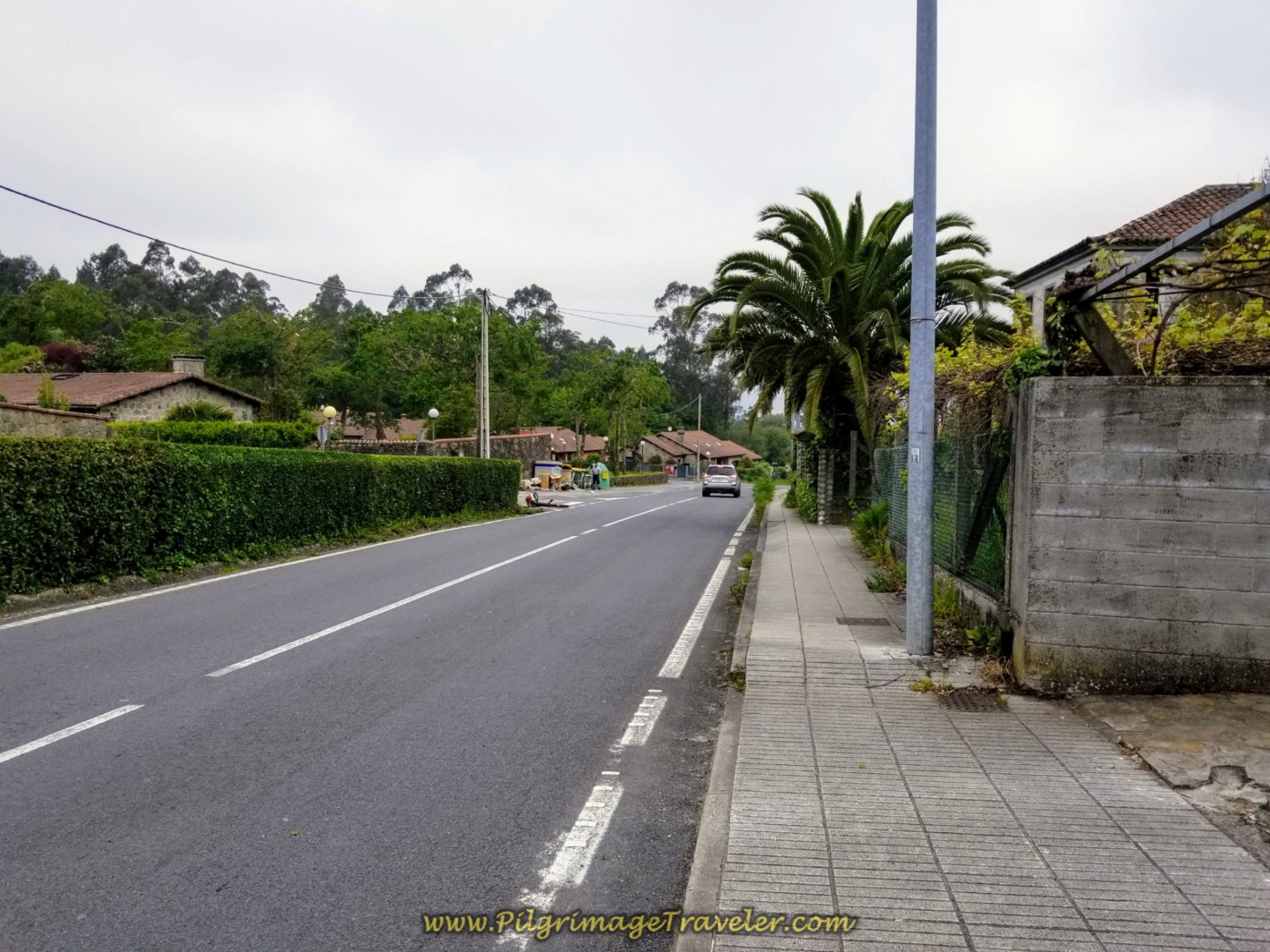 Walking Along the AC-453 Towards Ventosa
After the 600 meters walk, the Way directs you to the right onto a side road in Ventosa, avoiding the AC-453 for another 700 meters, despite crossing over it about halfway through.
As you walk through Ventosa, pass by this hórreo, below.
Soon after passing the hórreo walk by the private albergue, A Caso do Boi. This is a newly renovated estate with dormitory beds and double rooms.
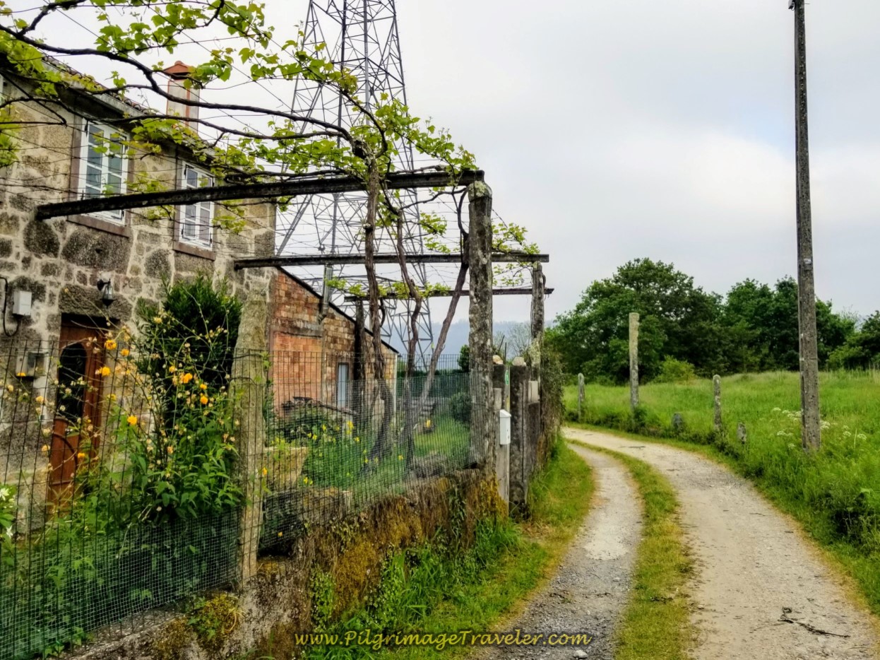
A few meters farther onward, the Camino picks up a quaint lane, shown below. This is a lovely, but short-lived reprieve from the AC-453.
At the end of the lane, you rejoin the AC-453 and stay on it for another long 1.28 kilometers.
The good news is that you are descending steeply on pavement instead of climbing, skirting by the town of Castelo, then onward to Augapesada. See that hill ahead in the photo below? Enjoy the downhill cruise, because you will be climbing that soon!
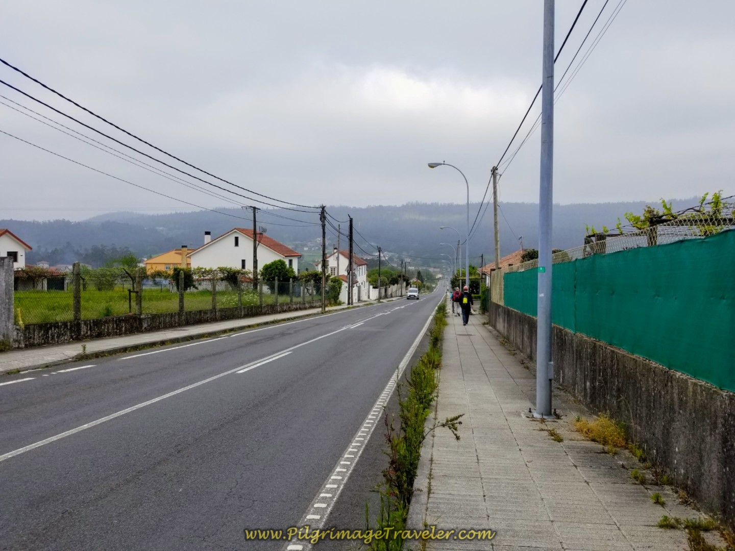 Long Straight Descent into Augapesada
We caught up to our friends, Rob and Steve along this stretch at the Café Bar O Recuncho and after our break, traveled onward together, turning left off the AC-453 at this juncture, below.
The hill climb begins!
 Turn Left Here Off the AC-453
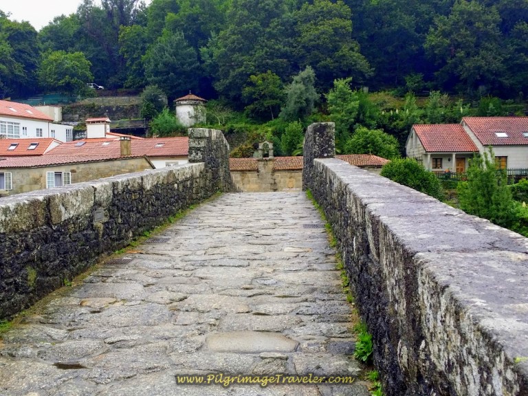
Immediately pass, but do not cross this wonderful old Roman bridge. Pause to admire it.
After passing the bridge, walk steeply up the hill for 140 meters. Here is Rob, Steve and Rich negotiating the hill climb through Augapesada.
 Steep Hill Climb Begins
Come to an intersection with the CP-0203, cross it, heading straight on and westward to another secondary paved road. There is another Café Bar, 0 Km 79, here on the corner of the intersection, after about 11.5 kilometers into the day, just past the halfway mark. This is your last chance to stop and fuel up before the long climb. Since we had already stopped earlier, we walked onward.
Very soon this road becomes a dirt lane through the forest and a third trail system on day one of the Camiño Fisterra!
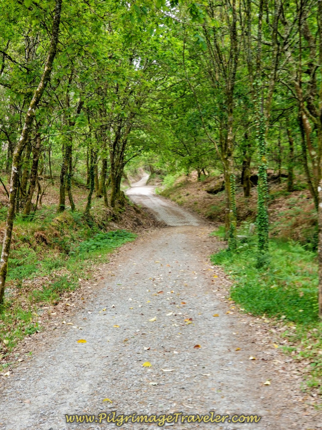 Entering Third Forest Pathway System
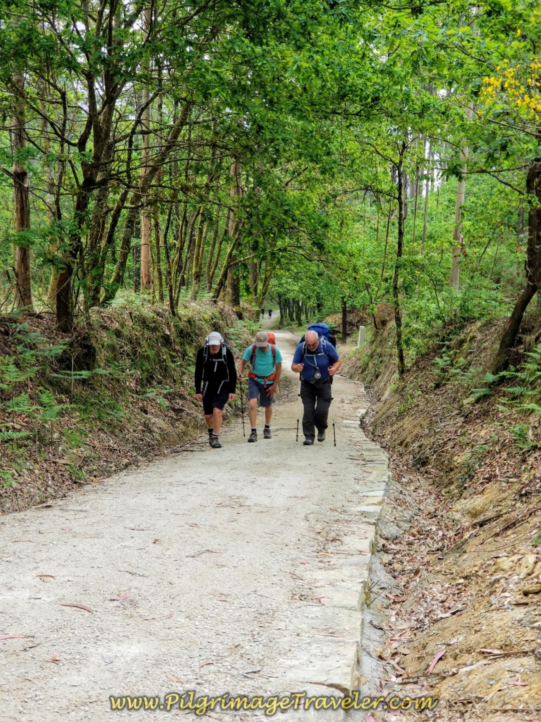 Gentlemen Climbing on Trail System
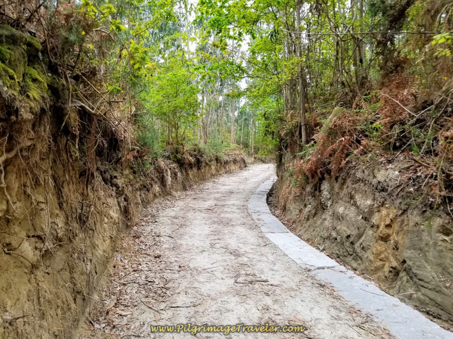
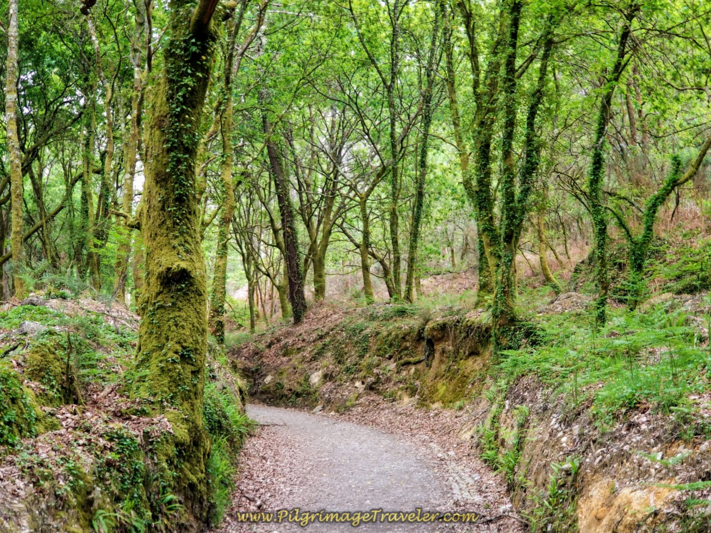
You can see that as the trail gets steeper, it is nicely improved to prevent erosion in this rainy Galician climate.
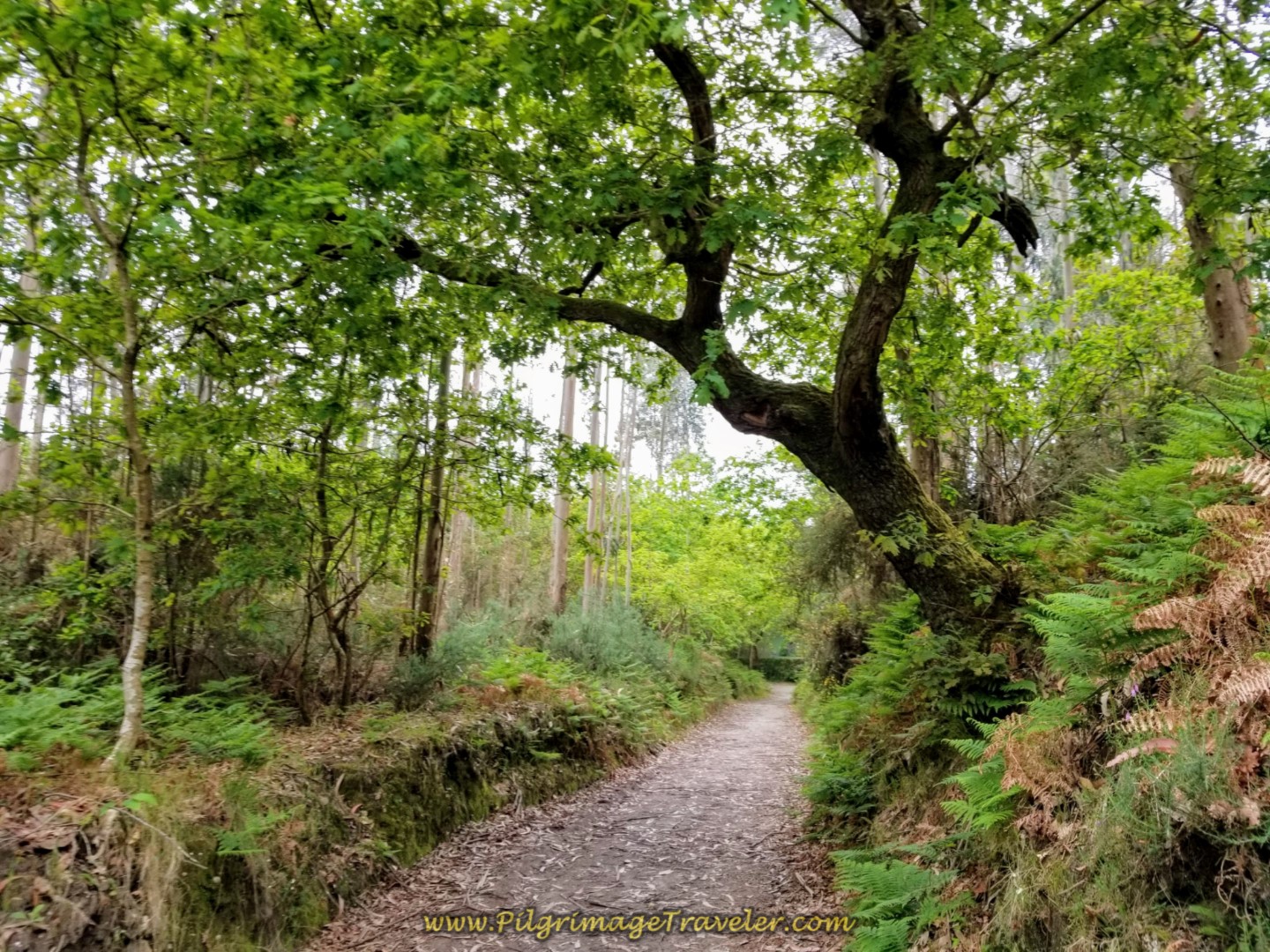
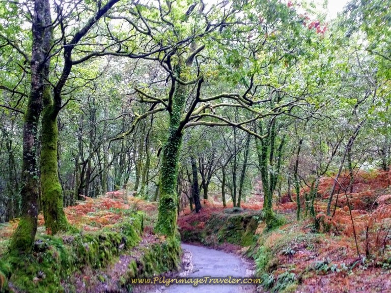
I call this forest section the enchanted forest, because it reminded me of something straight out of Tolkien! Here are two great photos of it.
You will feel this climb! Here is Steve walking on by a resting bench on the way up! You will encounter several of these benches along the climb.
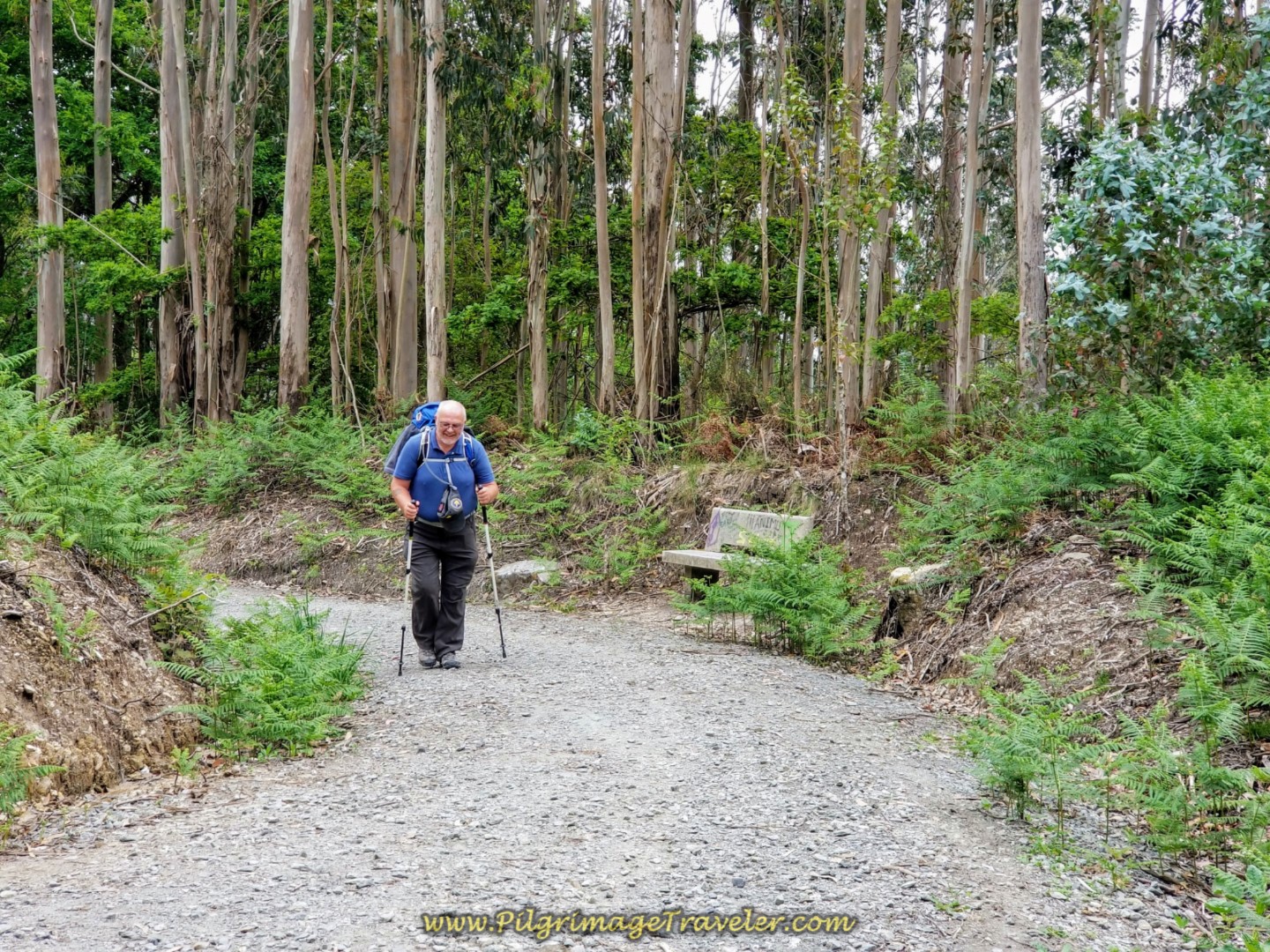 Steve Passes a Rest Area Along the Trail
It is at least 1.5 kilometers on the forest path when the Way merges with a paved secondary road that leads the pilgrimage traveler toward the next town of Carballo.
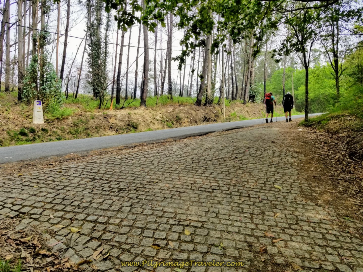 Trail Joins Secondary Road Towards Carballo
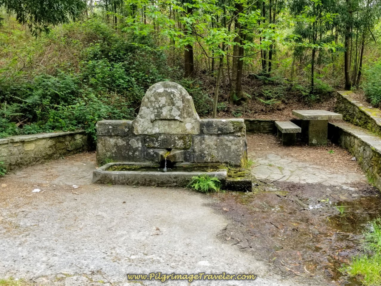
The climbing does not cease with the merging of the road! It continues to climb, past a cool fountain, below, and all the way to Carballo, not quite a kilometer farther on! When you see an opening in the trees, you will know you are at the top!
You could stop and rest here at this lovely fountain, as it is only a few hundred meters from the top, after about 13.5 kilometers into the day. The steep climb is approximately 2.4 kilometers in total.
Carballo is just beyond the summit.
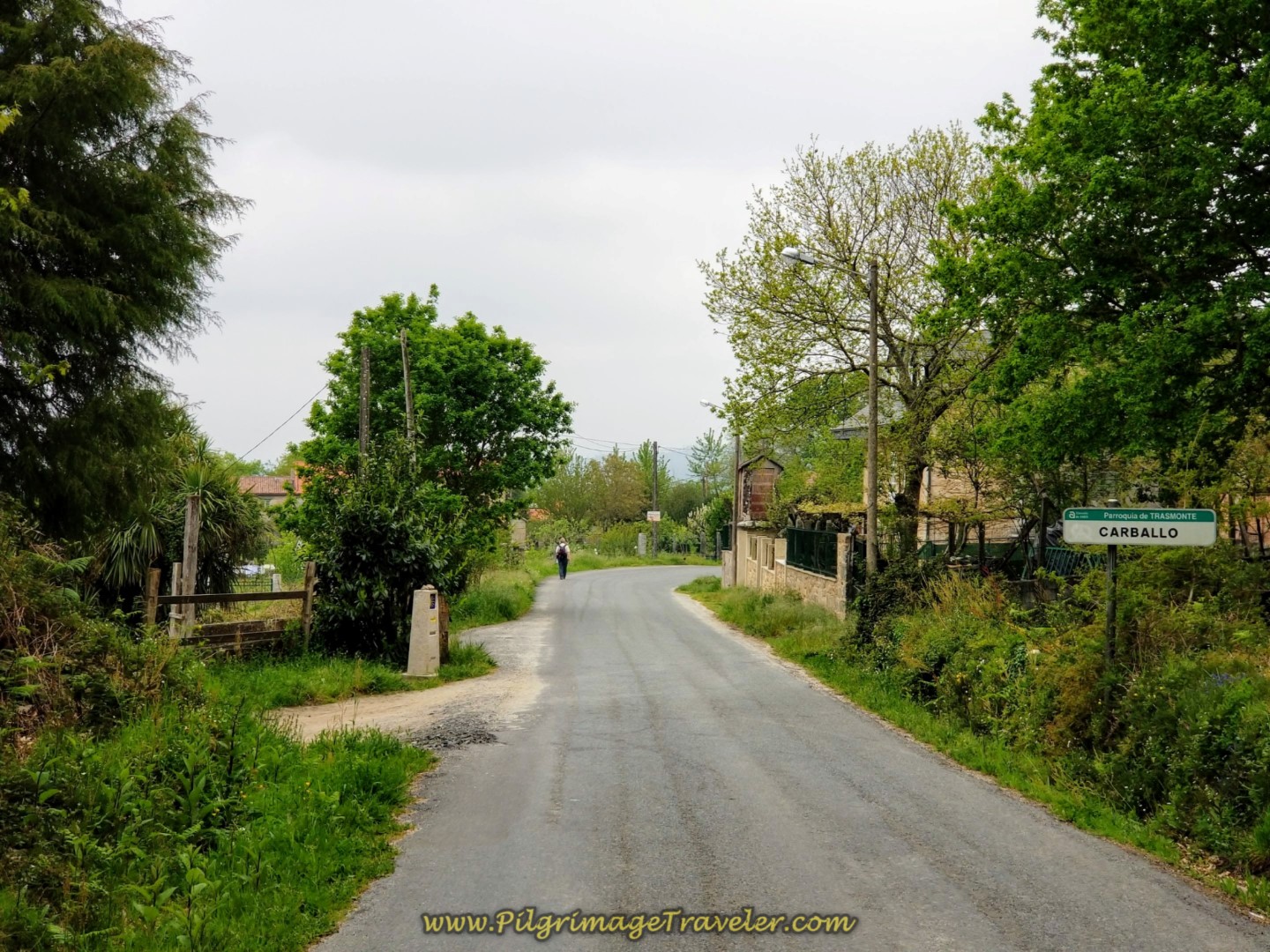 Entering Carballo on Day One of the Camino Finisterre
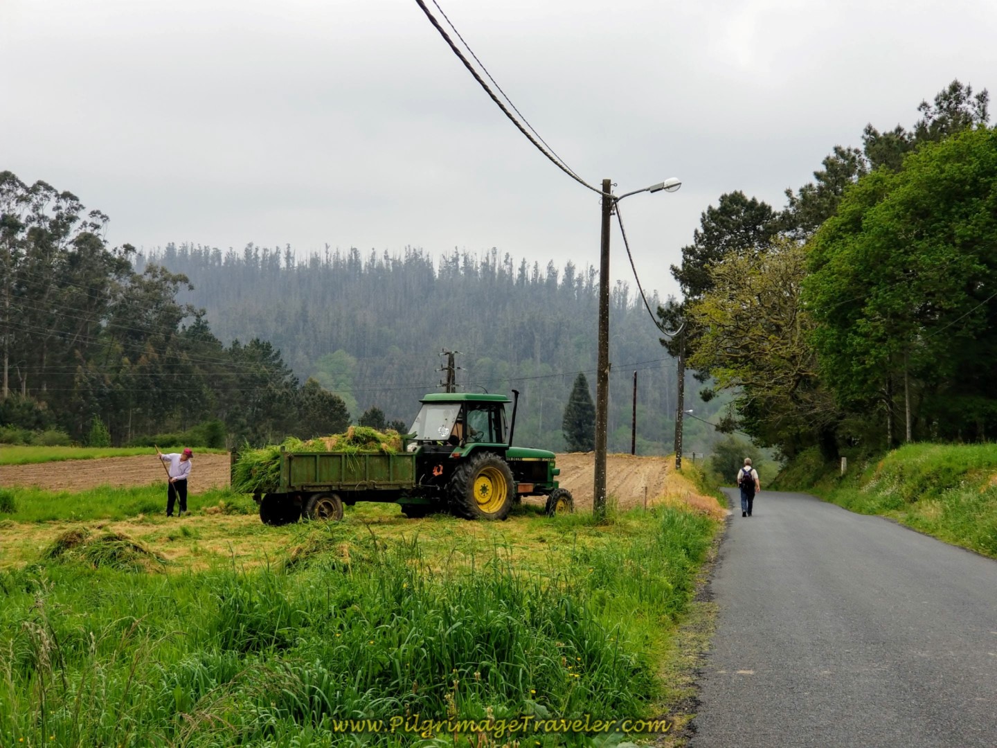
Continue your walk through the lovely Galician countryside and through additional farm land.
Pass the café, the Casa Poncho after about a kilometer onward from Carballo, not pictured. Start your descent toward the Río Tambre. Pass a sign for the hamlet of Reino. The Way is enjoyably easy through here!
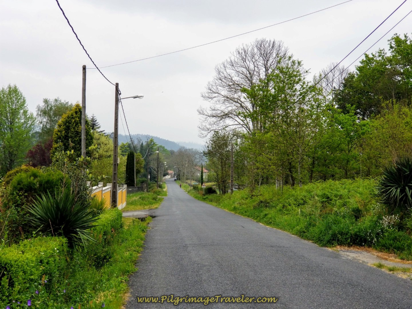 Towards the Río Tambre and The Ponte Maceira
Next pass a sign for the hamlet of Burgeiros and walk through another enchanted forest area, shown below, on your way to the famous, 13th century bridge, the Ponte Maceira!
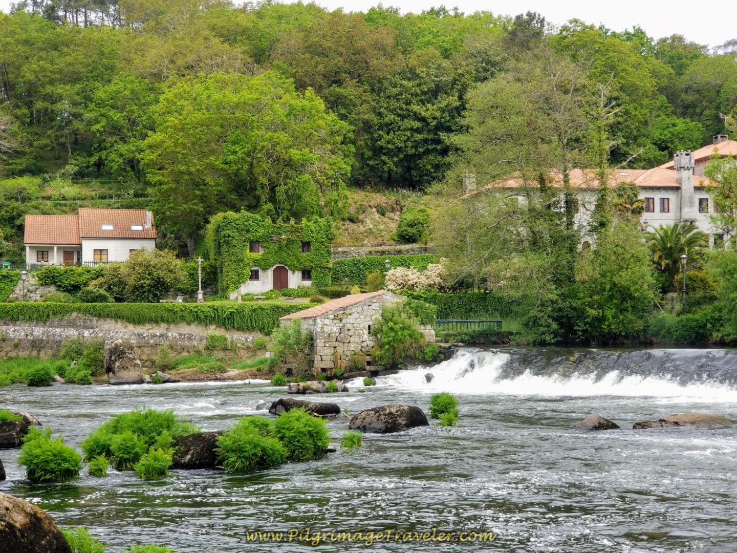
After about 1.8 kilometers from the Casa Poncho, the Camino enters the town of Ponte Maceira, turns to the left by the Restaurante Ponte Maceira, and bends right to cross the Río Tambre on the bridge. This is a wonderful place! It is so inviting and I always say the next time, I will spend more time here.
Well, I did spend more time here on this trip, but it still did not seem like enough. Too bad the restaurant wasn't open when we walked by. I would have loved to have had a café con leche in their outdoor seating area and lingered longer.
When you arrive at the bridge, you are 16.8 kilometers into the day and only 3.8 kilometers from the center of Negreira, so if you can linger in Ponte Maceira, do! It is more lovely and mystical here than in Negreira. It is a perfect place to ponder the all-too-soon ending of your journey. Relish your time here.
If you wish to read more about this bridge and environs, click here. As is usual of all these old bridges, the origins are Roman, followed by many updates, the most recent one in the 1700's according to the website.
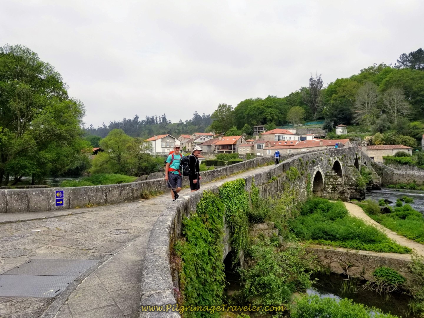 Rich and Rob on the Ponte Maceira
After walking across the bridge, the Way bears left and up the hill through town, shown below. There are many old stone buildings of interest in this little town including the 18 century chapel at the end of the bridge, the Ermida de San Brais, or San Blas. You can see its bell tower in the photo above. The cruceiro shown below seems to beckon the pilgrimage traveler up the hill.
After climbing the hill, after about 1/4 kilometer from the bridge, stay left at the next two intersections and pick up this paved rural road, shown below. You will pass by a fountain that has non-potable water.
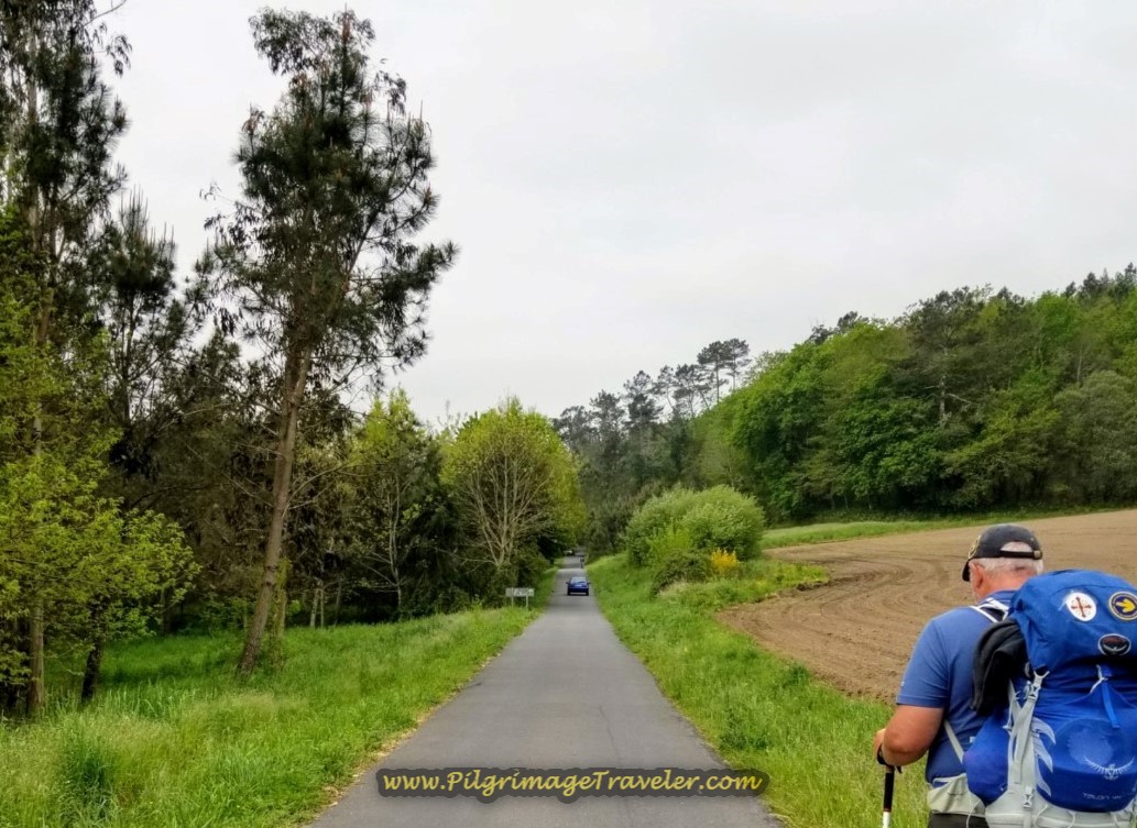 Steve Leaving Ponte Maceira on a Rural Secondary Road
After 1/2 kilometer more, turn left onto this path, at the 72 kilometer marker as it descends down to the Tambre River once again.
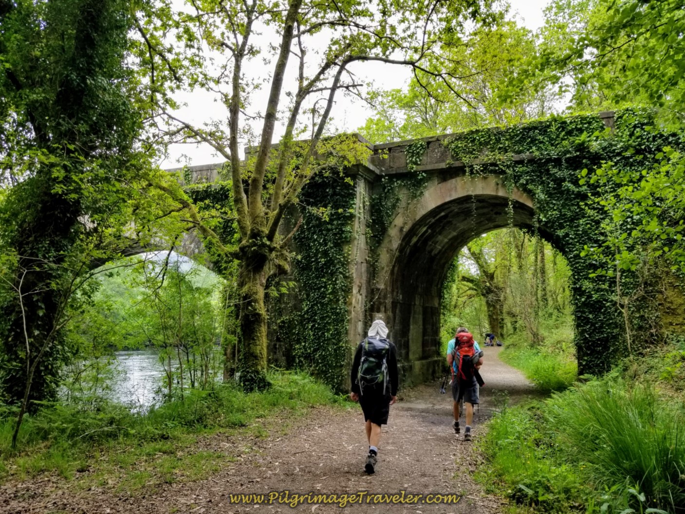
Walk under an overpass of the AC-448, above, and pick up this nice lane through fields on the way to the next hamlet of Barca.
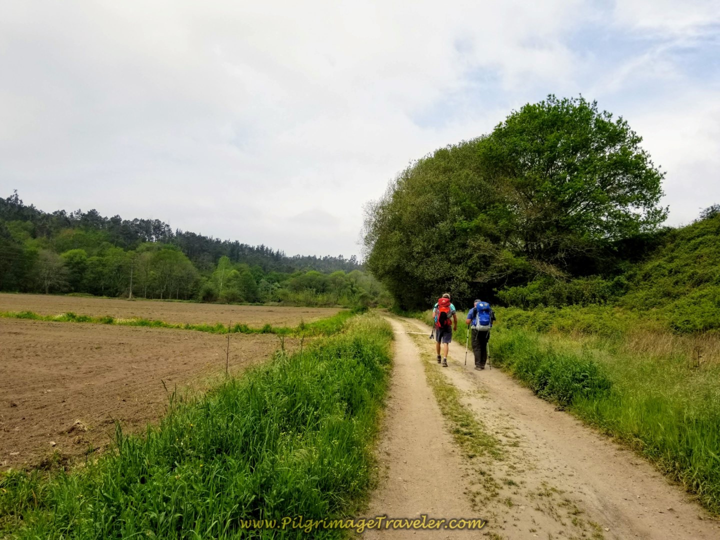 Walk on Lane Through Fields
This off-pavement section is brief, but does continue on for about 3/4 kilometer, before joining the AC-447, shown below.
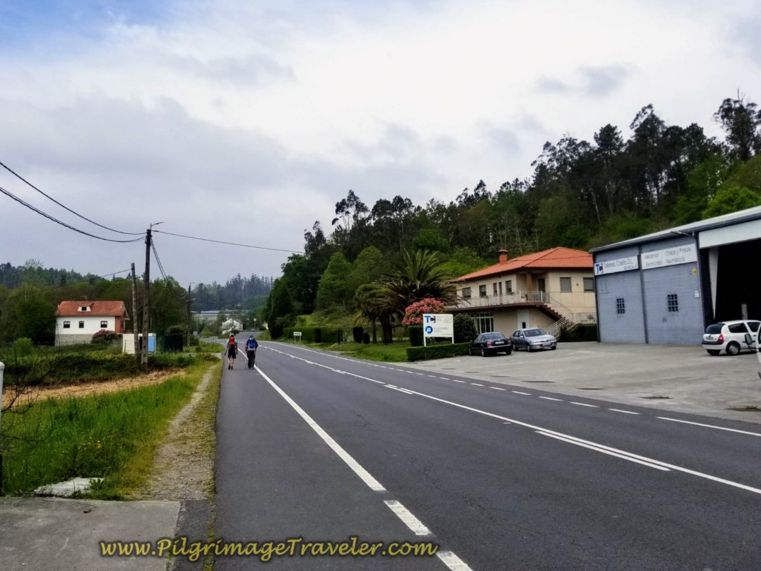 Join the AC-447 in Barca
Only 1/4 kilometer of walking is required on the AC-447 before the Way picks up a parallel side road to the north of the highway for another 1/3 kilometer.
Continuing to avoid the busy road, the Camino then crosses the AC-447 to pick up another quieter road, shown below.
 Cross the AC-447 in Barca on Day One of the Finisterre Way
Along the AC-447, to the right a few more meters is the Casa America, a lovely and economical accommodation if you have 4-7 people in your group.
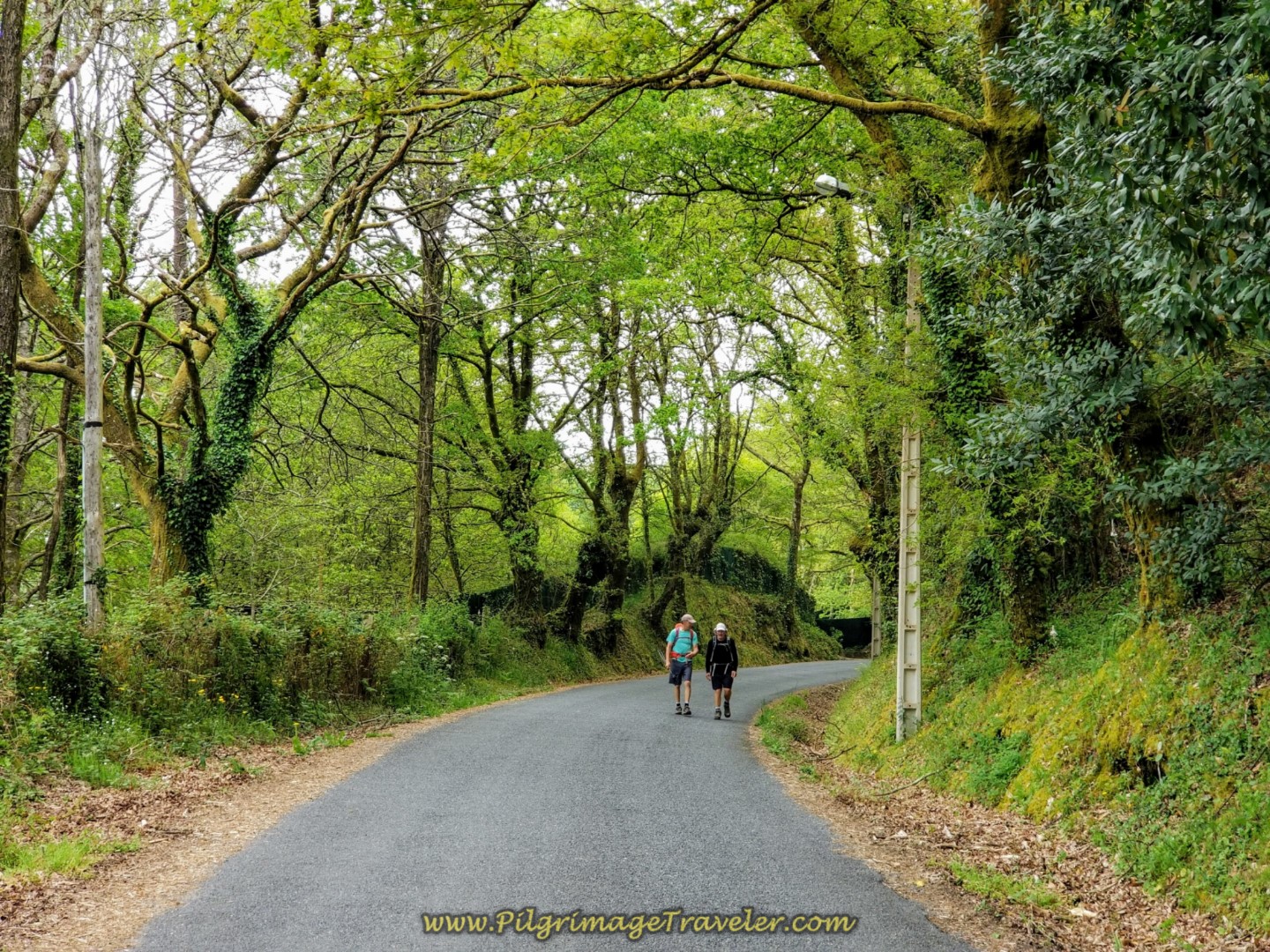
Ahead of you on the final kilometers of the day is yet one more climb, lasting about 500 meters. It is steep, but at least it is short! Here is Steve and Rich heading up the hill toward the next town of Chancela.
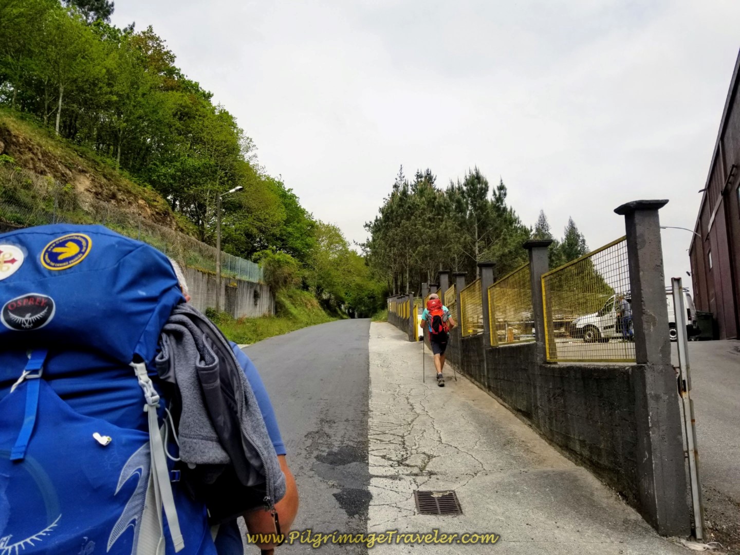 Steve and Rich Climbing Towards Chancela
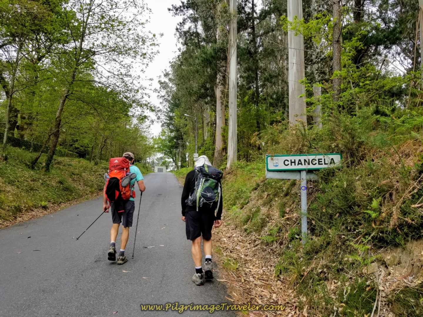 Rich and Rob Continue Uphill Entering Chancela
It is 3/4 kilometer from the turnoff in Barca to the top of the climb in Chancela on these quiet paved roads.
Walk directly by the private Albergue Anjana in Chancela.
Just before entering the city limits of Negreira, you know you are getting close when signs for accommodations begin to appear. There is the Albergue Turistico de Logrosa, 3/4 kilometer south in Logroso, the Hotel Millán and the Albergue San José. Turn at the signs if that is your destination.
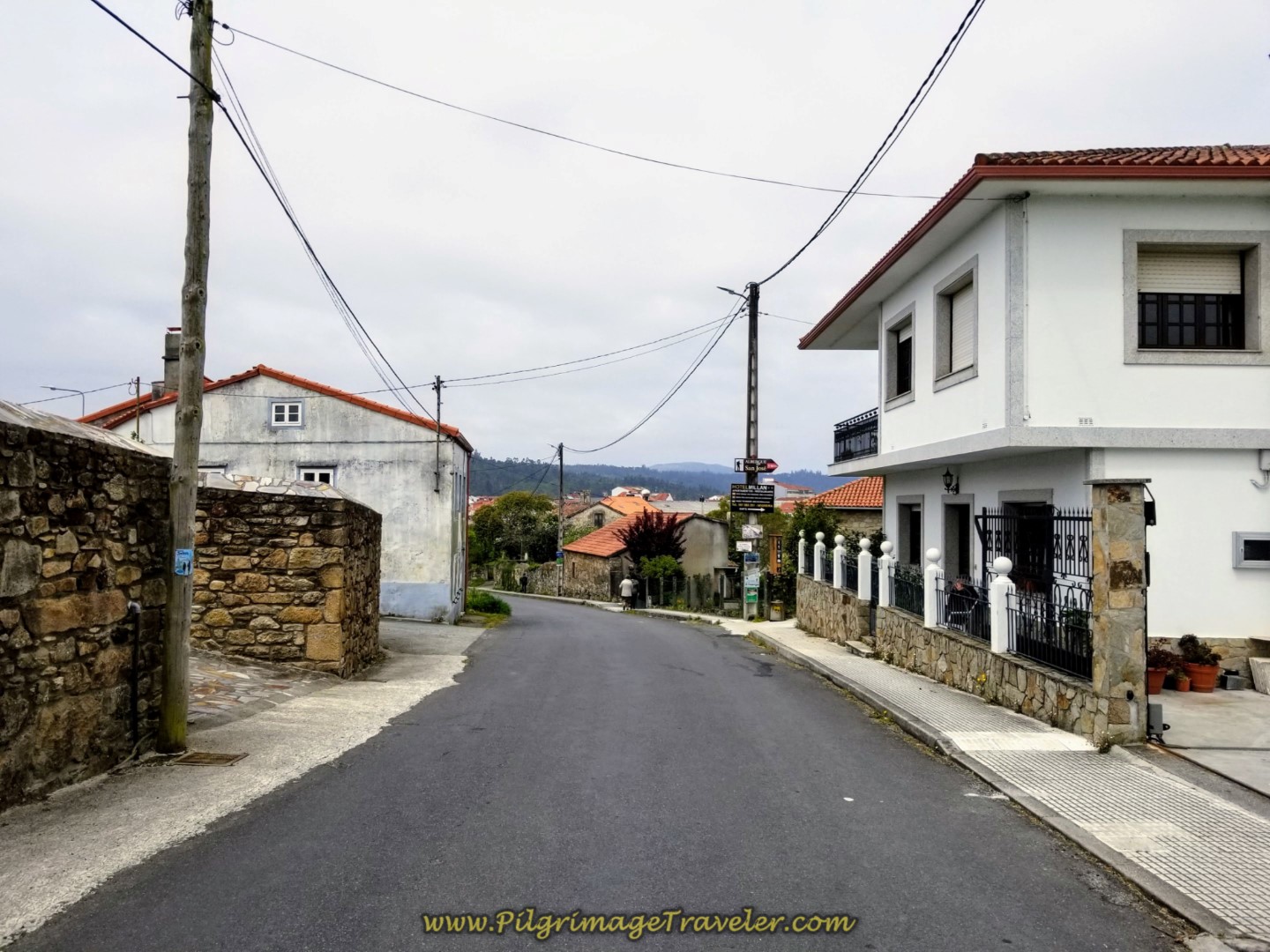 Accommodation Signs in Chancela
After the signs above, descend steeply into Negreira itself and come to a T-intersection with the AC-447 in the center of town. It is another 1/2 kilometer walk from the top of the final hill climb in Chancela to this intersection.
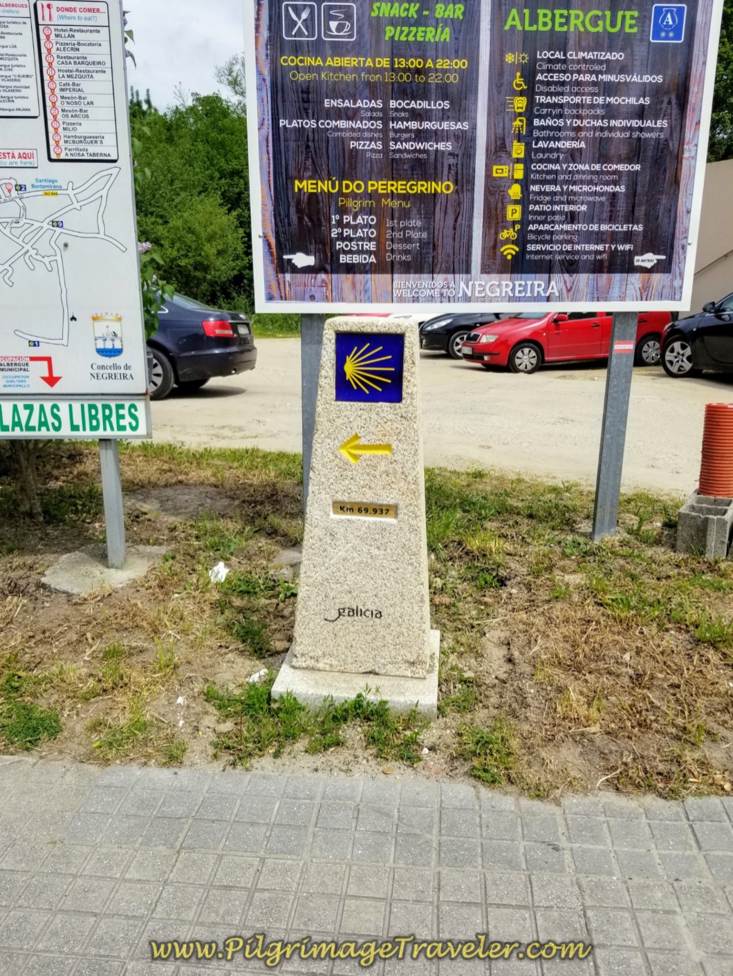
Here you will encounter many more signs and the 69.93 kilometer marker, below. I have stayed in the Albergue Alecrin, just a few meters to the right on the AC-447, a comfortable but basic place with a kitchen, living and dining communal spaces.
For this trip we turned left, along the AC-447 and up the hill to find the Hostal Pensión La Mezquita, 300 meters farther along the Camino. The Albergue Cotón is along this section as well on your left as you climb the hill.
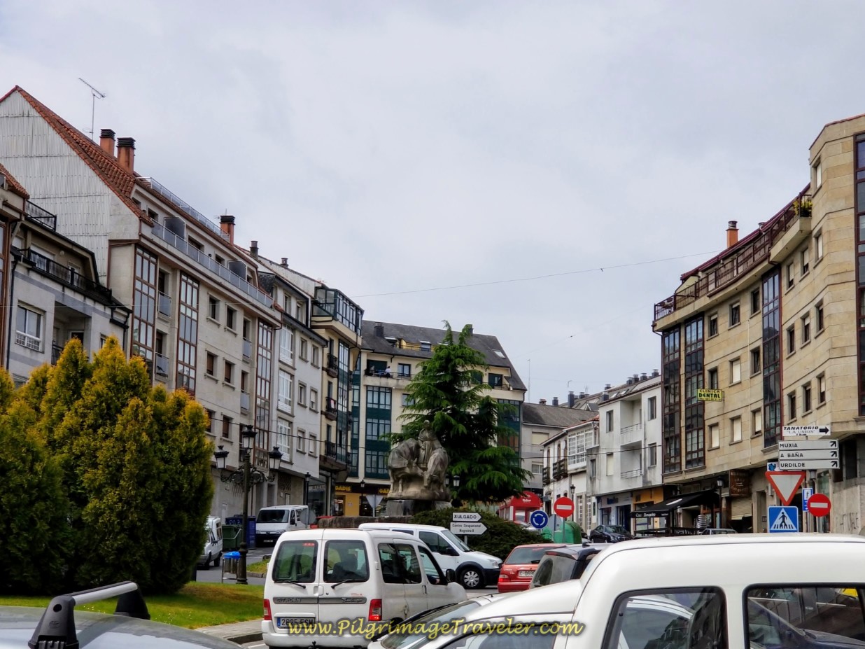 Walking Through Negreira on the AC-447
Around the bend at the top of the hill is the Hostal Pensión La Mezquita, shown below. The Camino goes left here, and the hostal is on the corner on the right. This is a very comfortable hotel, and Rich and I splurged on a room with a king-size bed, a true rarity on the Camino, for 70 Euros and a huge buffet breakfast included. They also served a delicious pilgrim's menu dinner for a very inexpensive price.
There is also an albergue here, called the Albergue El Carmen, within the same building. There is no kitchen, but there is a cafeteria, with inexpensive meals.
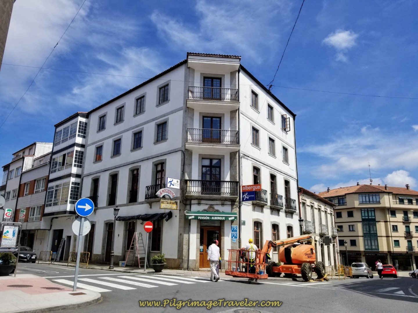 Hostal Pensión La Mezquita in Negreira
There is a municipal albergue, the Albergue de Peregrinos de Negreira, another one kilometer onward, and outside of town, right along the Way if you want to make it there. In addition, there are many more apartment-type accommodations if you have a group; click here to see them.
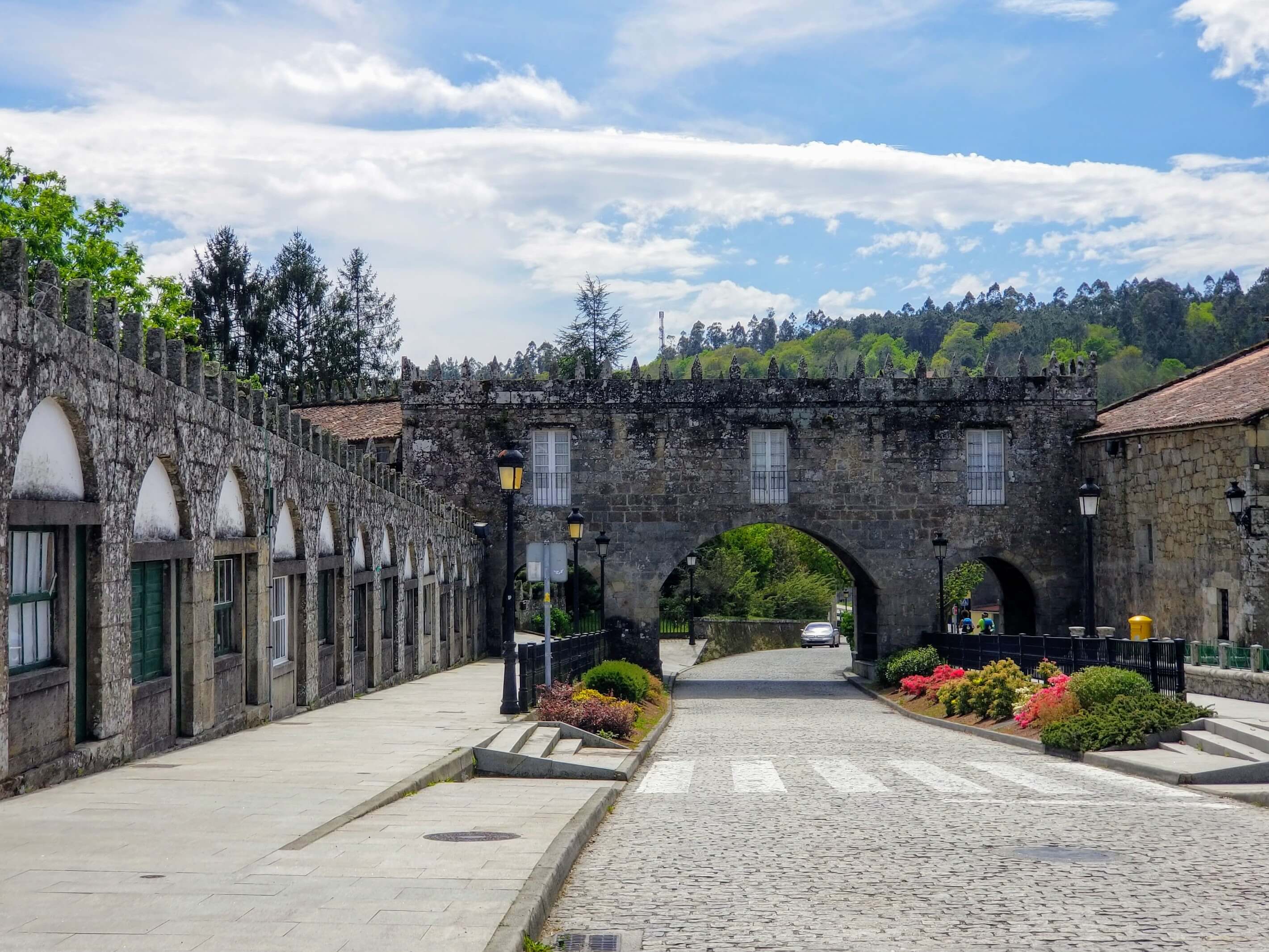
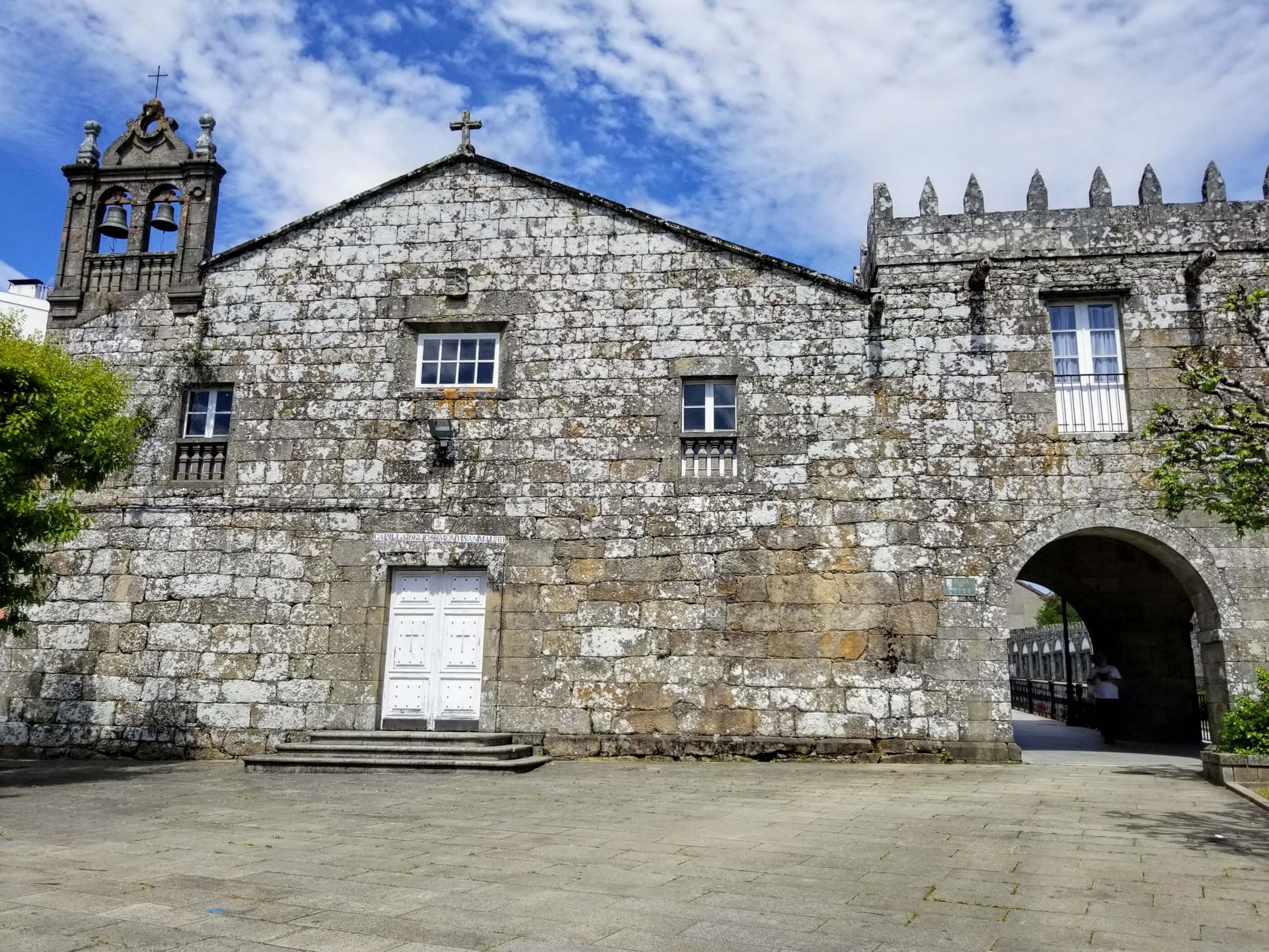
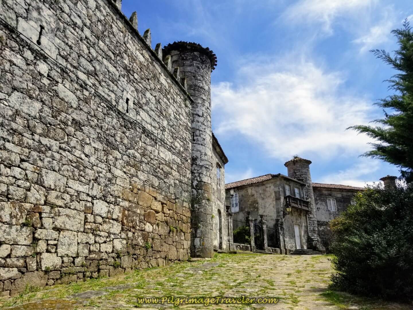
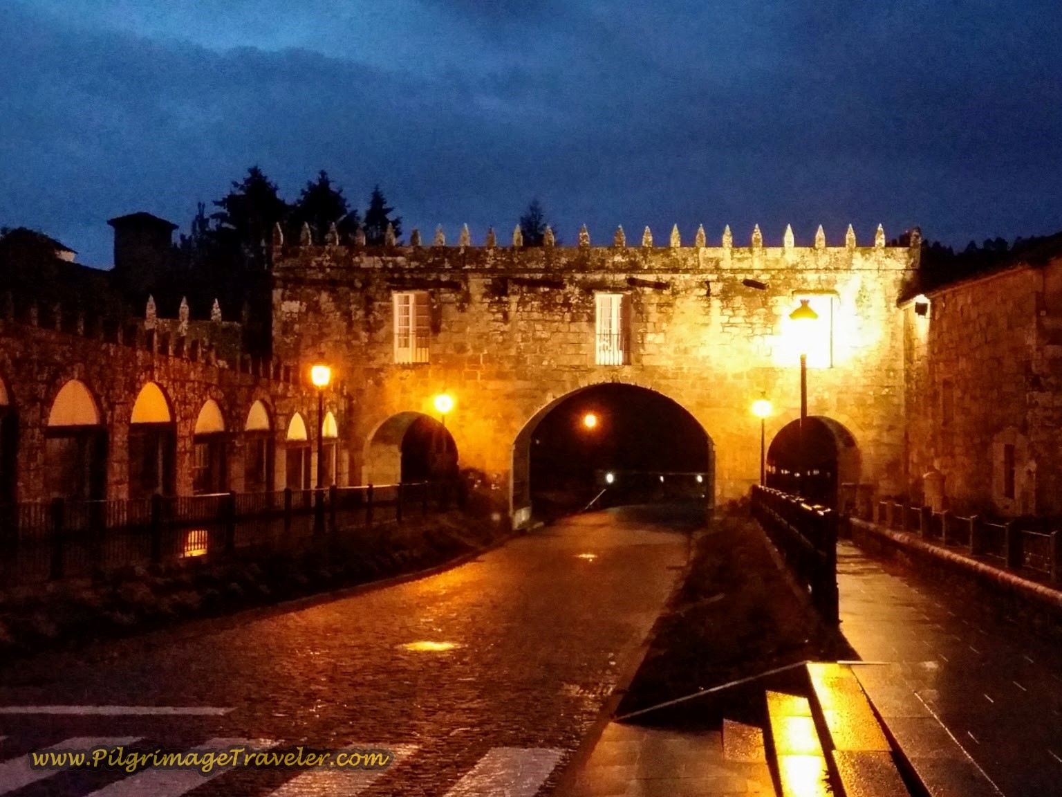
After we cleaned up, did our laundry and had a beer, we toured the main attraction of Negreira, the Pazo do Cotón. Originally a medieval fortress, designed for military purposes, it has undergone many updates in the recent centuries. It is a lovely building nonetheless. Below is the gate, where the Camino walks through as it leaves town and heads onward on day two.
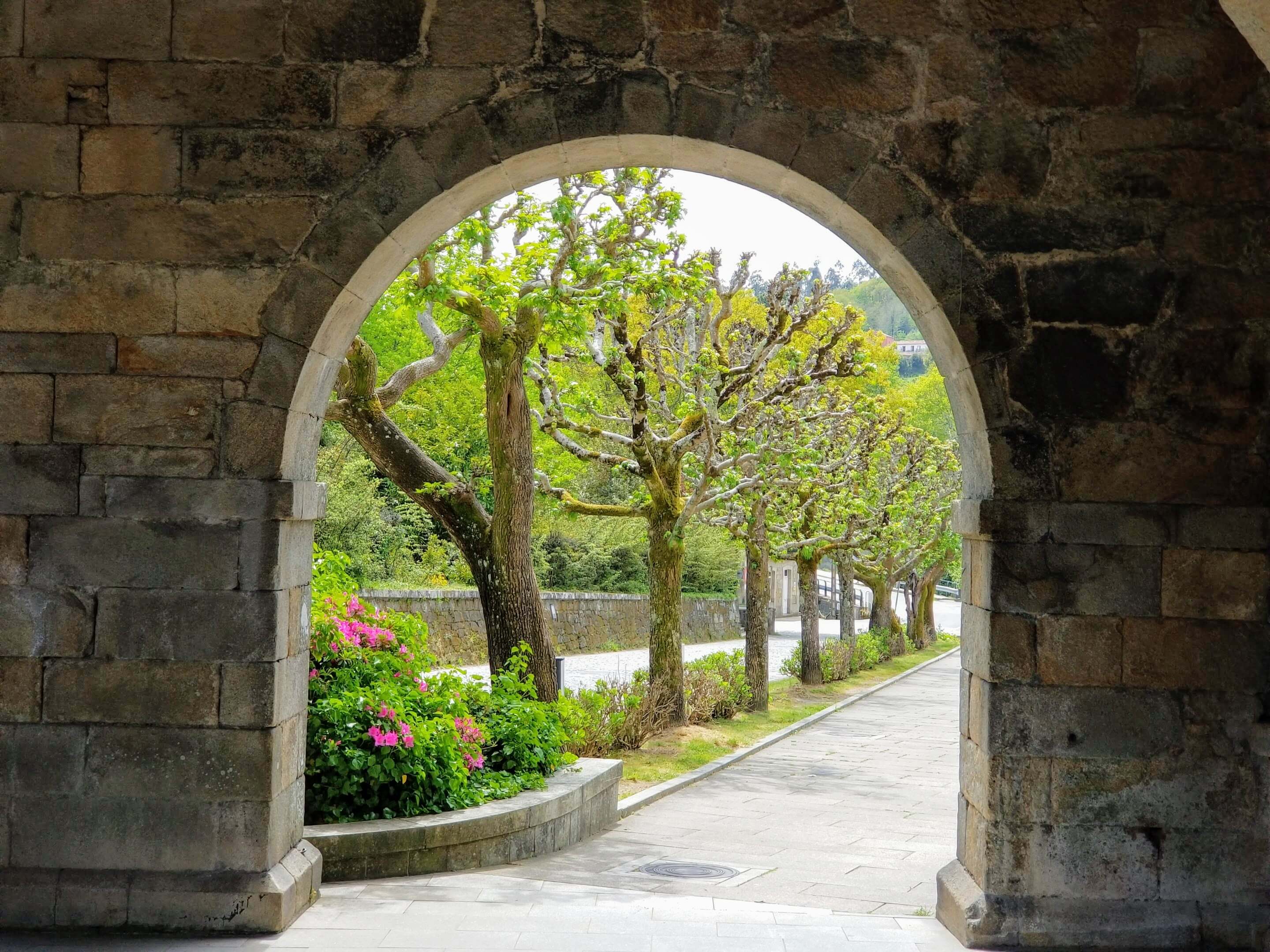
The spring leafing-out trees along the road were framed beautifully by the gate. This is the way onward for the Camino, through this gate on the DP-5601. We would start here the next day.
As far as I know, this palace is not a museum. I believe this is the main residence area with its entrance on the outside of the city wall.
The medieval fortress tour was a perfect ending to a Tolkien-like day! It is worth the short walk up the hill to go see it.
Jump to Camino Finisterre and Muxía Stages
Personal Reflections on the Road That Never Ends...
Even though this travelogue shows my journey with my husband and friends, the first time I had the pleasure of walking it alone. On my first trip through here, this day one of my Camino Finisterre was about seeing what was ahead, becoming the adventuress that I had always wanted to be, even since I was a child. I was walking a Camino alone for the first time and this was a brand new thing for me!
I have often wondered, as long as I can remember, when I am on a road, where did it go? Where did it end? What would happen if I just stayed on this road until it ended? I allowed this spirit, deep in me, to finally surface. This spirit of adventure is deeply attractive to me and I could see why the constant movement of the physical and spiritual journey could become addictive.
Doing the Camino alone is very interesting, shall I say, because you really don't know what's around the bend. You gotta go see! And trust that what you see is just what it is! And what is, is there for YOU!
Salutation
May your own day one on the Camino Finisterre be filled with enchanted forests and a sense of adventure, while following your own road with eager feet! I do hope you decide to do your own extension of your Camino de Santiago to the mystical End of the World. Maybe it will be the "end" of your road or maybe not! And whither then? You cannot say! Ultreia!
Camino Finisterre and Muxía Stages
Please Consider Showing Your Support
Many readers contact me, Elle, to thank me for all the time and care that I have spent creating this informative website. If you have been truly blessed by my efforts, have not purchased an eBook, yet wish to contribute, I am exeedingly grateful. Thank you!
Search This Website:
🙋♀️ Why Trust Us at the Pilgrimage Traveler?

We’re not a travel agency ~ we’re fellow pilgrims! (See About Us)
We've trekked Pilgrimage Routes Across Europe since 2014!
💬 We’ve:
- Gotten lost so you don’t have to. 😉
- Followed waymarks in the glowing sunlight, the pouring rain and by moonlight. ☀️🌧️🌙
- Slept in albergues, hostels & casa rurals. Ate and drank in cafés along the way. 🛌 😴
- Created comprehensive and downloadable GPS maps and eBook Guides, full of must-have information based on real pilgrimage travels. 🧭 🗺️
- Shared our complete journeys, step by step to help YOU plan your ultimate pilgrimage and walk with your own Heart and Soul. 💙✨
Every detail is from our own experiences. Just fellow pilgrims sharing the Way. We have added a touch of spirituality, heartfelt insights and practical guidance from the road ~ offering a genuine connection to the spirit of pilgrimage. Tap into the wisdom of seasoned pilgrims!
Ultreia and Safe Pilgrimage Travels, Caminante! 💫 💚 🤍
Follow Me on Pinterest:
Find the Pilgrimage Traveler on Facebook:
Like / Share this page on Facebook:
Shroud Yourself in Mystery, along the Via de Francesco!
Walk in the Footsteps of St. Francis, and Connect Deeply with the Saint and to Nature in the Marvelous Italian Countryside!
Need suggestions on what to pack for your next pilgrimage? Click Here or on the photo below!
Find the Best Hotel Deals Using This Tool!
Carbon Trekking Poles ~ My Favorites!
Carbon fiber construction (not aluminum) in a trekking pole makes them ultra lightweight. We like the Z-Pole style from Black Diamond so we can hide our poles in our pack from potential thieves before getting to our albergue! There are many to choose from! (See more of our gear recommendations! )
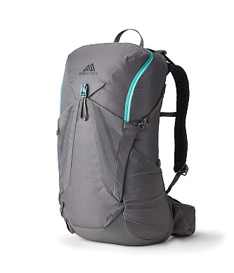
Gregory BackPack ~ My Favorite Brand
Do not forget your quick-dry microfiber towel!








Your Opinion Matters! Comments
Have you had a similar experience, have some advice to give, or have something else you'd like to share? We would love to hear from you! Please leave us a comment in the box below.