- ~ Home
- The Way of St. Francis
- Day Two on the Way of St Francis, Pieve Santo Stefano to Montagna
Jump to Way of St. Francis Stages
Day Two on the
Way of St Francis ~
Pieve Santo Stefano to Montagna, 23.3 Kilometers (14.5 Miles)
Disclosure: the PilgrimageTraveler.com is an associate of Booking.com, Roamless, and Amazon. As associates of these merchants, we earn from qualifying purchases from our links.
Our day two on the Way of St. Francis from Pieve Santo Stefano to Montagna was a wonderful, long forest walk, on almost no pavement. One can easily see how living in these natural settings, St. Francis would compose the following verse:
🙋♀️ Why Trust Us at the Pilgrimage Traveler?
We’re not a travel agency ~ we’re fellow pilgrims! (See About Us)
We've trekked Pilgrimage Routes Across Europe since 2014!
💬 We’ve:
- Gotten lost so you don’t have to. 😉
- Followed waymarks in the glowing sunlight, the pouring rain and by moonlight. ☀️🌧️🌙
- Slept in albergues, hostels & casa rurals. Ate and drank in cafés along the way. 🛌 😴
- Created comprehensive and downloadable GPS maps and eBook Guides, full of must-have information based on real pilgrimage travels. 🧭 🗺️
- Shared our complete journeys, step by step to help YOU plan your ultimate pilgrimage and walk with your own Heart and Soul. 💙✨
Every detail is from our own experiences. Just fellow pilgrims sharing the Way. We have added a touch of spirituality, heartfelt insights and practical guidance from the road ~ offering a genuine connection to the spirit of pilgrimage. Tap into the wisdom of seasoned pilgrims!
Ultreia and Safe Pilgrimage Travels, Caminante! 💫 💚 🤍
The world is my heart.
The world is my monastery.
~ St Francis of Assisi, paraphrased into a song by Richard Bruxvoort Colligan, click here to hear the beautiful song!
It is a walk in which you can connect to nature, and connect to the Saint himself!
Maps and Stats, The Way of St Francis, Pieve Santo Stefano to Montagna
Here are my GPS tracks, uploaded to a google map, with amenities placed on them as usual. I included two days of GPS tracks, since most sources suggest that you do the pilgrimage from Pieve Santo Stefano to Citerna in 2 days, either via the mountain route through Montagna for 46.3 kilometers (28.8 miles), or via the alternative valley route directly to Sansepolcro and then onward to Citerna for a shorter total of 33.7 kilometers (21 miles). Seeing the loop will help you visualize the routes and help you make an informed decision about which one to take.
We chose the mountain route, shown in blue on the map, firstly because we wanted to see the Eremo di Cerbaiolo, secondly, we felt this route would be more scenic and thirdly, the length from Sansepolcro to Citerna, if we took the valley route, is only 11.4 kilometers (7.1 miles), a too short of a day for us. Montagna is a perfect middle spot on the mountain route from Pieve Santo Stefano to Citerna for a 23.3 km (14.5 miles) first day, followed by a 23 kilometer (14.3 miles) second day.
While the "valley" route, shown in red on the map, is supposedly easier and the reason most pilgrims tend to take it, there is still a respectable climb over a ridge, with a gain of 260 meters (850 feet) as you can see in the second elevation profile below. Also be advised that here is quite a bit of pavement walking on this alternative. And the third disadvantage of the alternative, in my opinion, is that there is significant backtracking into and out of Sansepolcro, if you study the map below, clicking on the red, alternative route.
Do be advised that there are some differences on this day's route, from the official Italian route that I had to follow, and the actual signage, which directed the pilgrim different ways for several short sections. The moral of the story, at least for this day, was to trust the waymarks. Unless, of course, you download my tracks!
However, the mountain route as you can see below, has a very healthy 700 meter gain (2300 feet), by far more strenuous than the valley route. So choose wisely. Plus, as you will see as you read on, the route is quite steep and rocky, so if there is any type of weather, you may want to consider the alternative.
 Elevation Profile, Day Two, Way of St Francis, Pieve Santo Stefano to Sansepolcro, Valley Alternative
👣 Way of St. Francis EBook Guides
Walk smarter with our ad-free, beautifully formatted Way of St. Francis eBook Guides, in PDF format ~ perfect for offline use in mountainous and remote areas along this Way. Includes daily stage details, alternative routes and stunning photos. Our eBook Guide is unique because we also immerse you with our story.
Don't carry a heavy paper book, but use our digital eBooks on your mobile device instead! You can walk with clarity and confidence, deeply connect to nature, following in the footsteps of St. Francis, through the Italian countryside!
📲 Instant download. 💸 Money-back guarantee. 🔄 Free updates for 1 year.
👉 Click here for more information! OR BUY NOW ~ Northern Route: La Verna to Assisi, OR BUY NOW ~ Southern Route: Assisi to Rome. OR BUY BOTH HERE
Jump to Way of St. Francis Stages
Photo-Rich Travelogue, The Way of St Francis, Pieve Santo Stefano to Montagna
We walked through a quiet Pieve Santo Stefano, down the main street, after filling our bellies to the brim at the fabulous buffet breakfast provided by the Hotel Santo Stefano. Now that's my kind of start for the day!
As is often the case, there are no waymarks within the towns on the Way of St. Francis, so follow my directions carefully until you get through town. Even with the official GPS tracks, the way was a bit confusing to me.
After about 250 meters from the hotel, when the bus lane appears, and multitudes of signs appear, shown below, this is where you turn to the left.
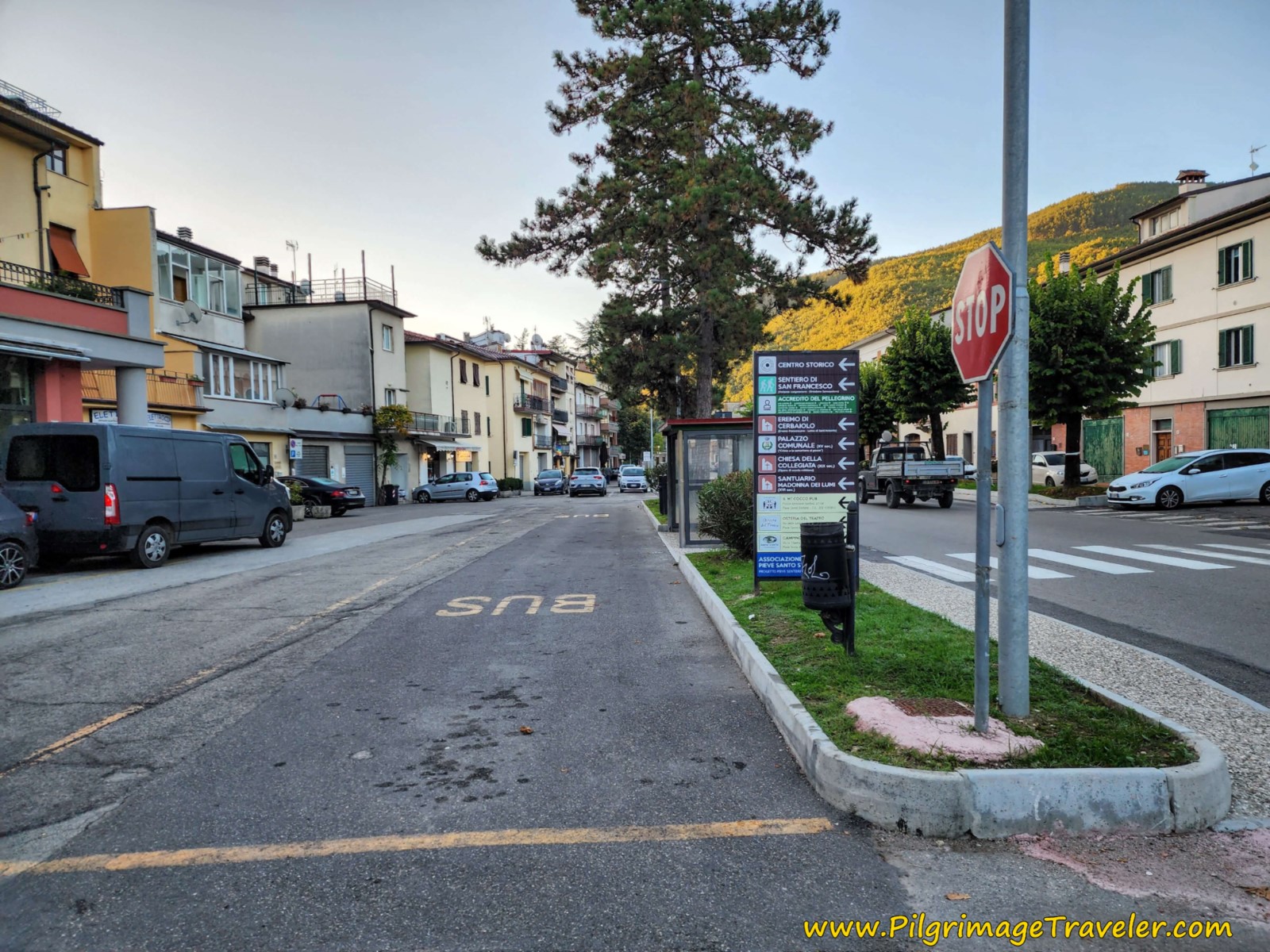 Left Turn at Brown Signs
You will find yourself on a short, narrow alleyway, shown below, that leads to the Piccolo Museo del Diario. This museum houses a collection of diaries that documents life for the locals.
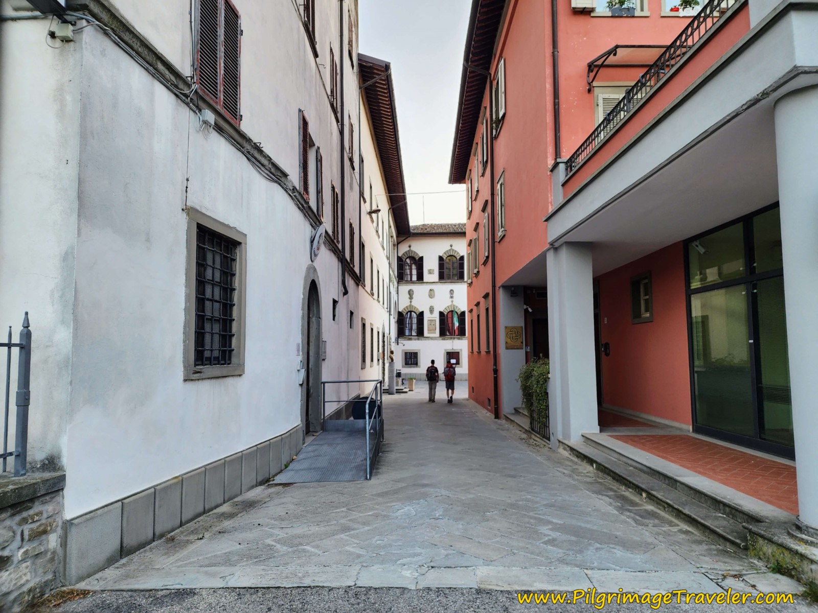 Via Tiberina Alleyway Towards the Piccolo Museo del Diario
At the front of the museum, to your left and by the entrance, is an archway, where the Via goes. Turn left and walk through the archway into a small plaza and take an immediate right, where you can see a bridge ahead, shown next. This is the bridge over none other than the Tiber River. Take it.
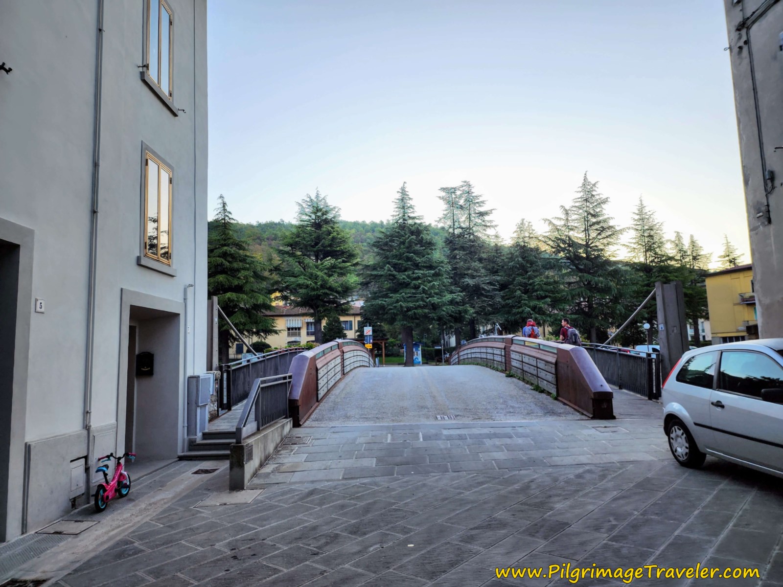 Cross Tiber River on Bridge
Once you cross the bridge, take a left turn and follow the river on the street that parallels it.
After a bit more than 200 meters, you will come to an intersection, where you will see your first official Via di Francesco sign in the median. From here, the waymarks are good.
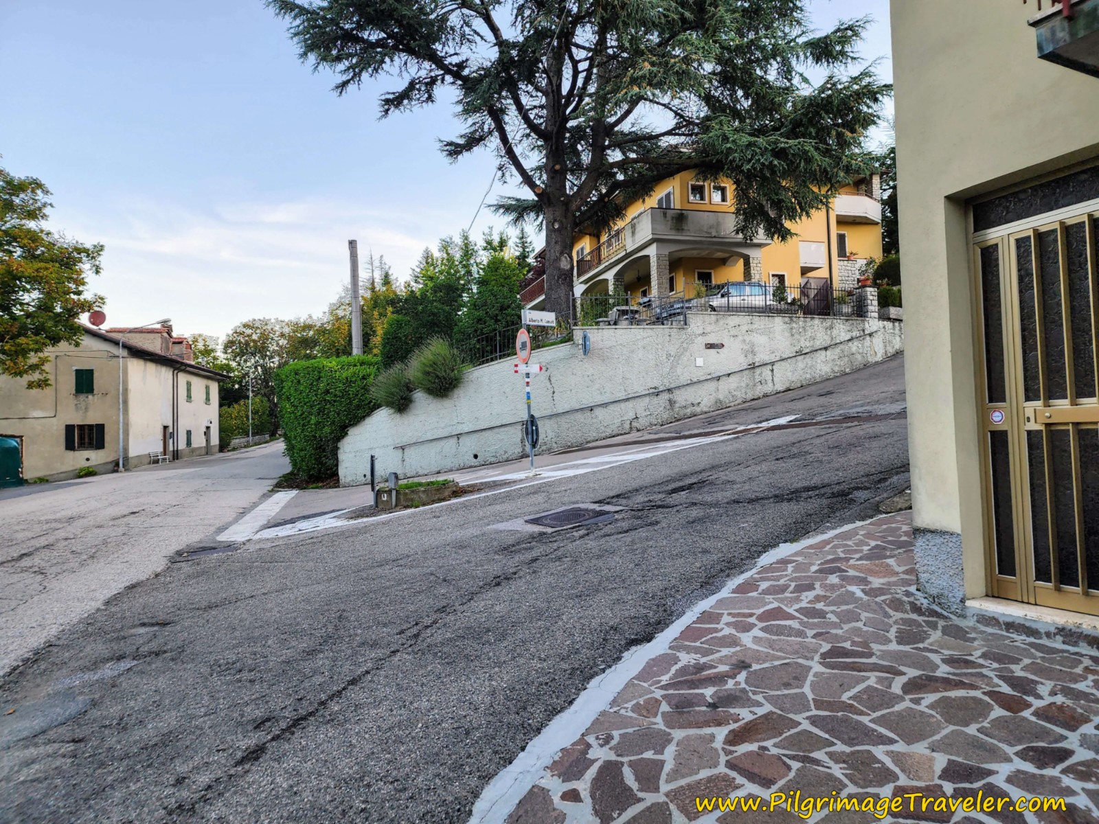 Right Turn Up Steep Hill
Your warm up is now over, after only about 1/2 kilometer! Climb steeply up and out of town on this street called the Via Alberto Maria Camaiti.
Follow this street for approximately 200 meters, take the second right onto the Via del Gioiello. Continue on this street for another 200 meters, approximately, staying left at a Y-intersection, until you see the pictured intersection with this dirt road, below. You will leave the pavement here for essentially the rest of the day, and your forest walk has begun.
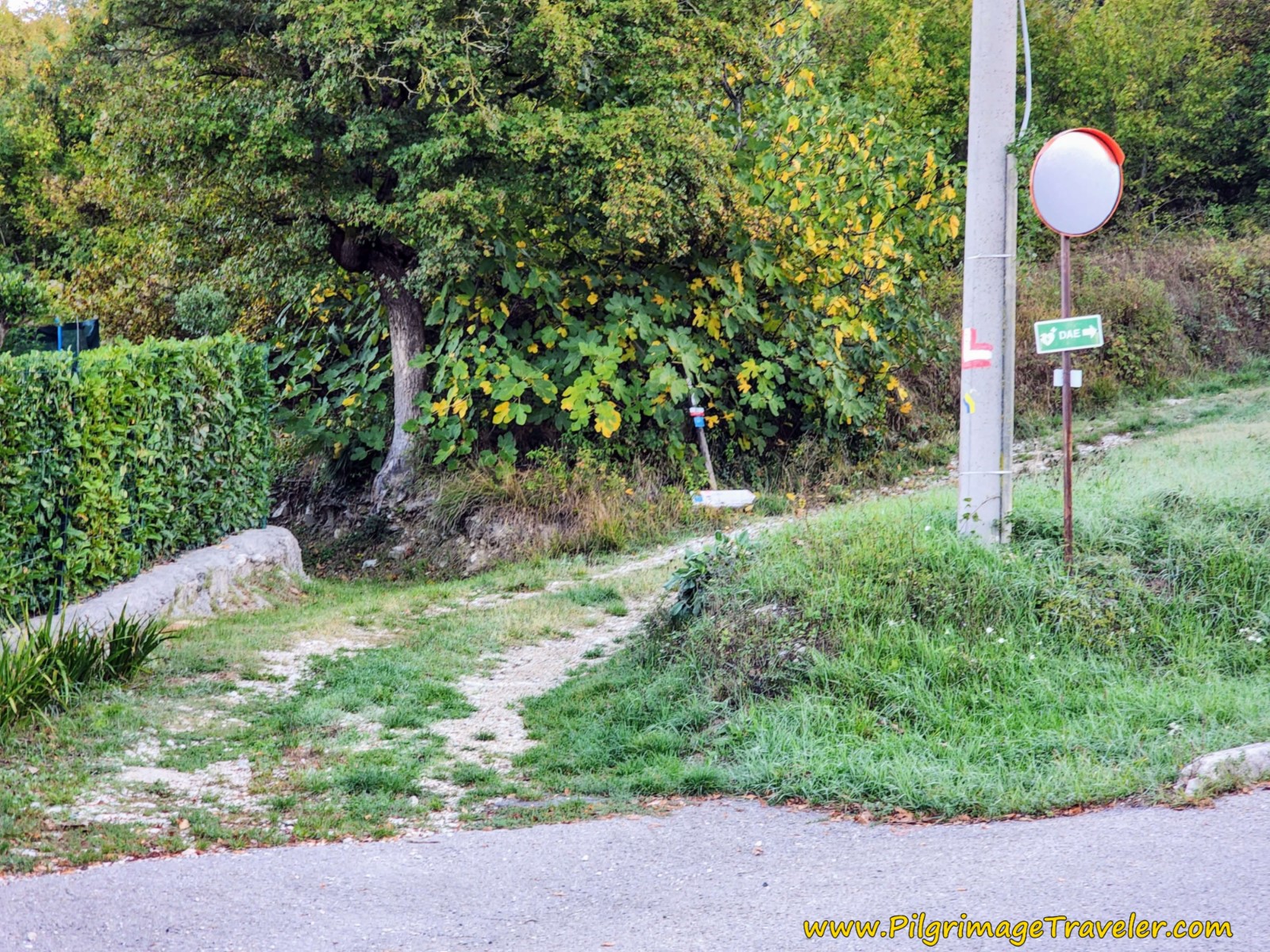 Forest Walk Begins Here
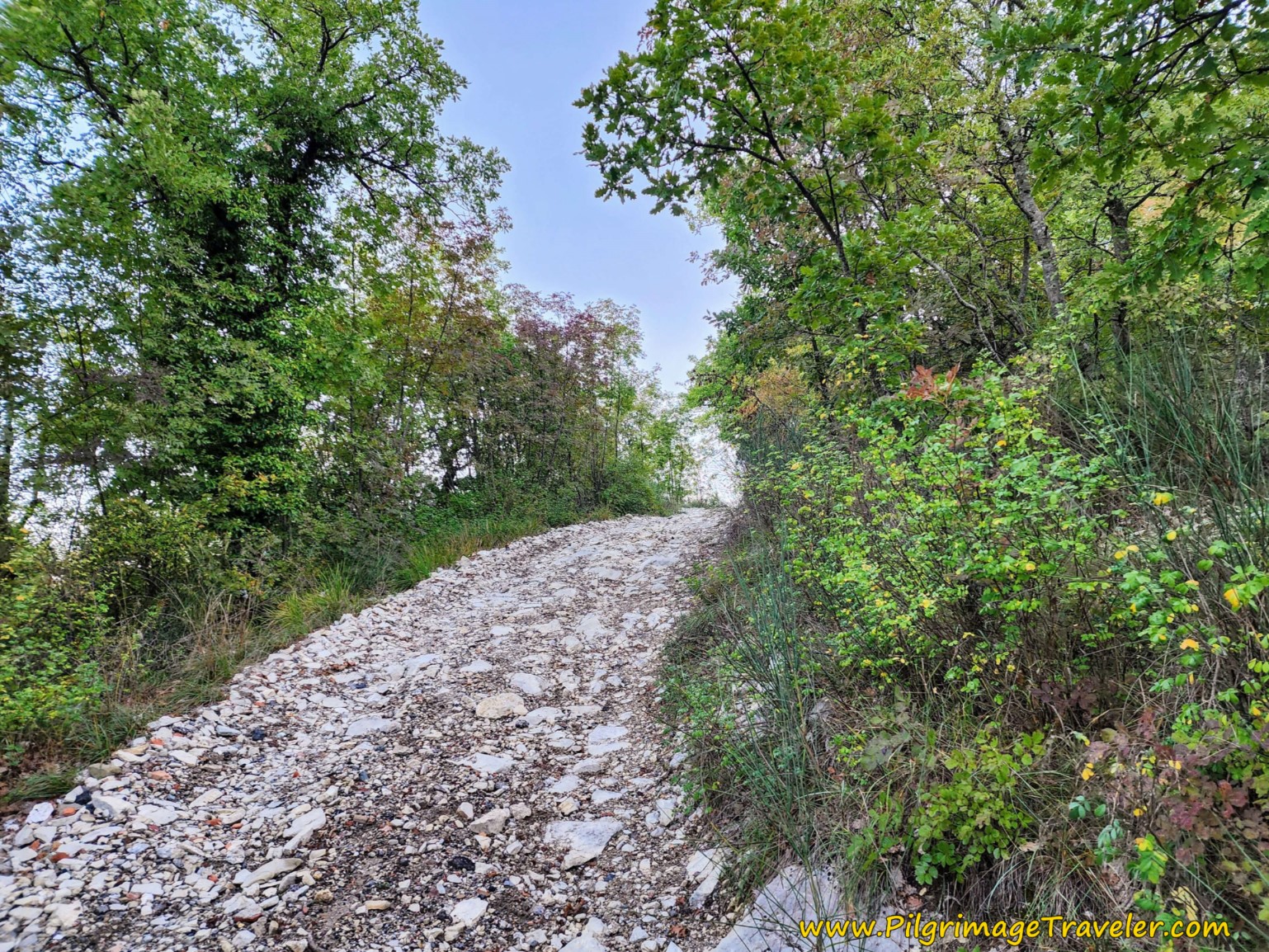
Very quickly, the road becomes steep and rocky, but not all that bad.
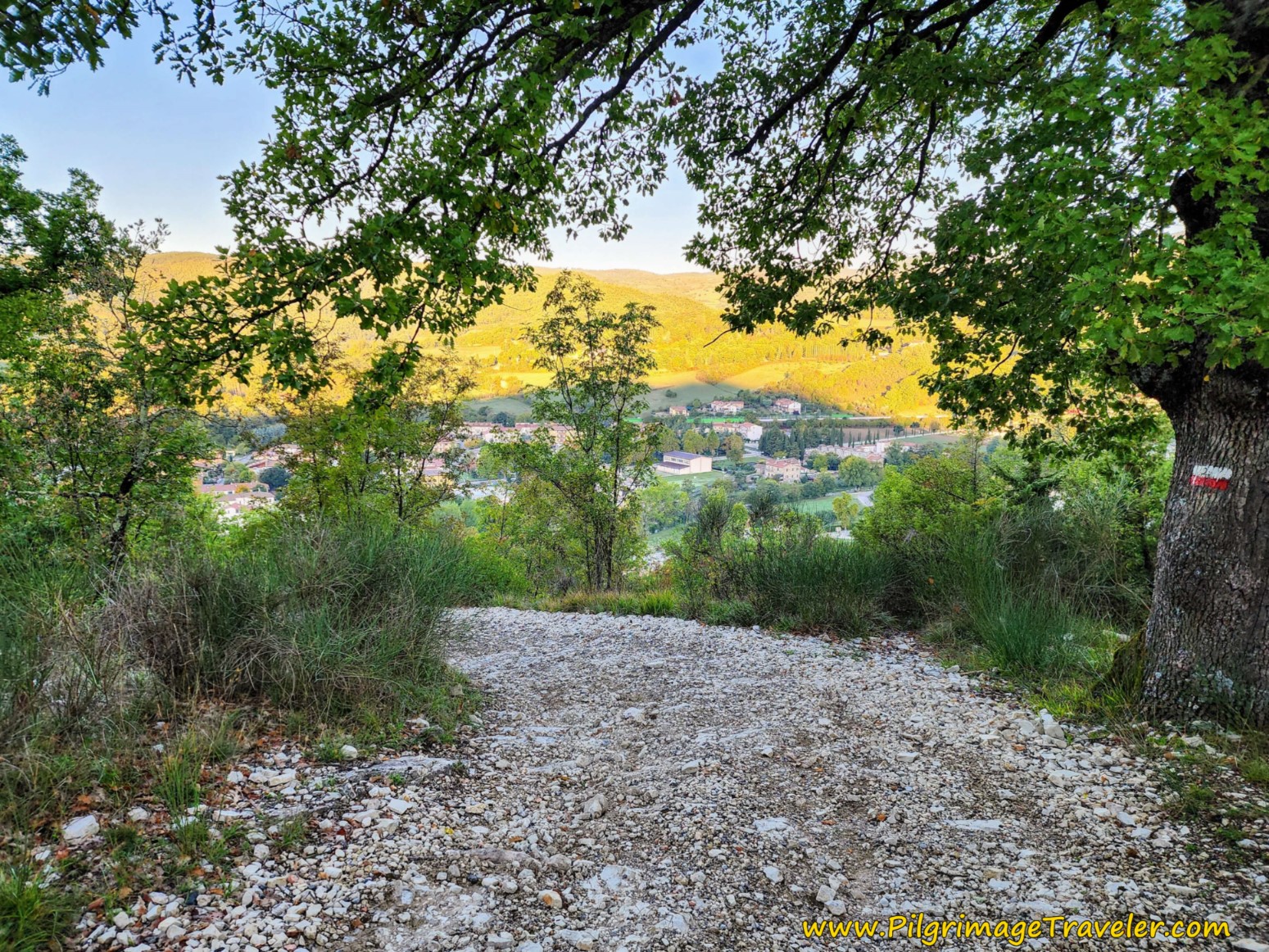
As you climb, there are lovely views of Pieve Santo Stefano, so don't forget to stop and look behind you, as the trail winds up to the ridge above.
Jump to Way of St. Francis Stages
After approximately 1.8 kilometers, on the Way of St Francis, Pieve Santo Stefano to Montagna, you come to an open, flat area, where the road has thinned temporarily to a trail. The cammino bends to the left. You have to look very carefully through here, on the rocks and trees for the yellow Tau waymarks! Or just follow my GPS tracks.
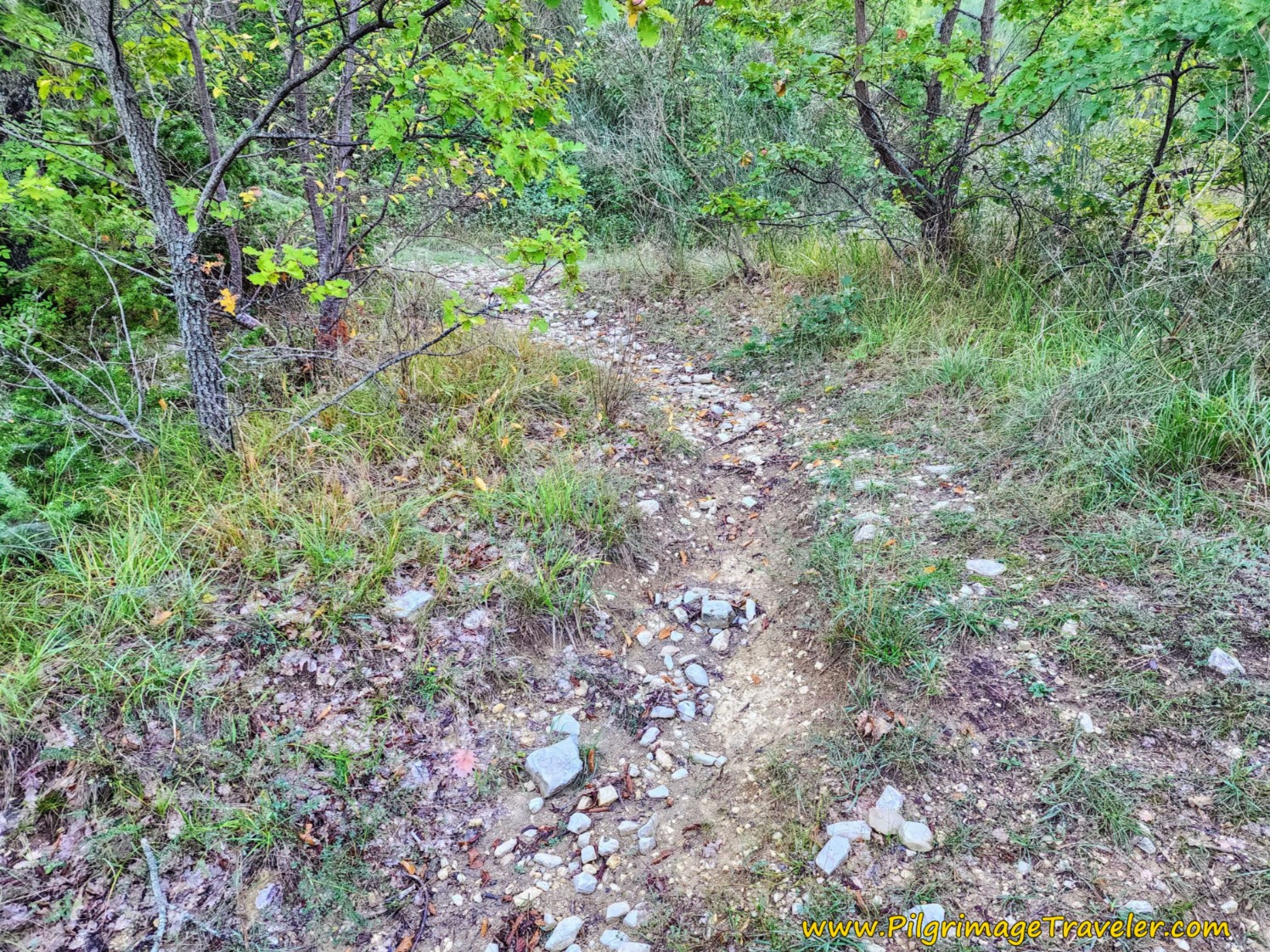 Open Flat Area on Trail
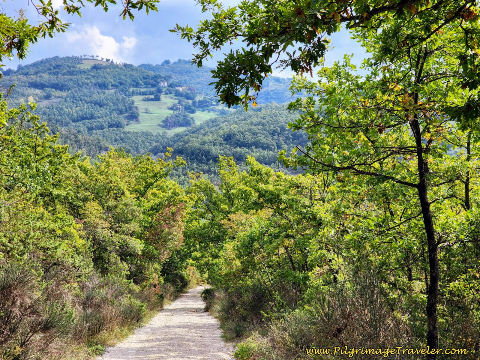
After this area, the bend leads you off the ridge top, where the steep grade lessens, and even descends for a bit. Soon you are walking on a nice, much less rocky road again through the thick forest.
After about 3.35 kilometers into the day, you see an open field ahead.
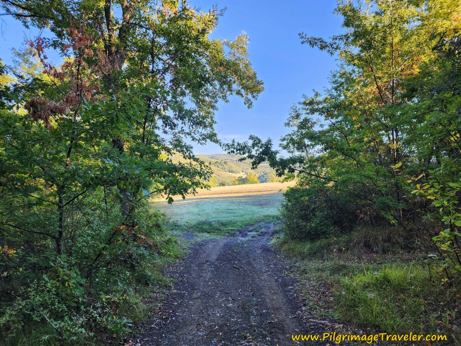 Come to Open Field Ahead
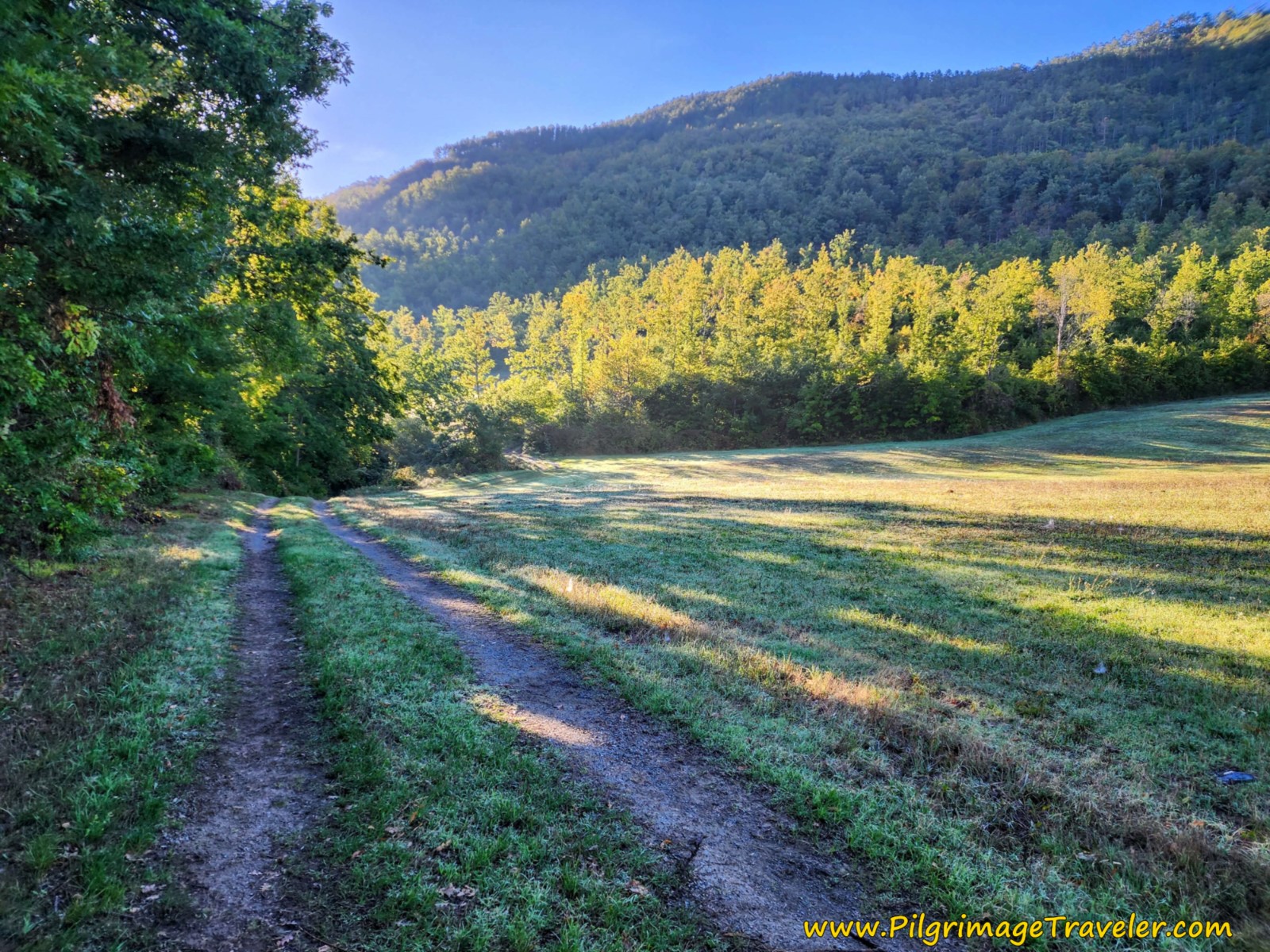
The lane follows to the right of the field on tractor tracks muddy for us, for about 350 meters.
At approximately 3.8 kilometers into your day, come to a T-intersection with a stronger tractor lane and turn right. Follow this lane until another field opens up, that you now follow to the left of the field, on a slight ascent.
The morning light was absolutely gorgeous. The world is my monastery!
After about another 200 meters, ignore the tractor tracks descending steeply to the right, and stay straight on. Again, it is a bit tricky finding waymarks, but you will see painted yellow Tau's on the trees if you look carefully. It is helpful to know that you are walking in a generally easterly direction.
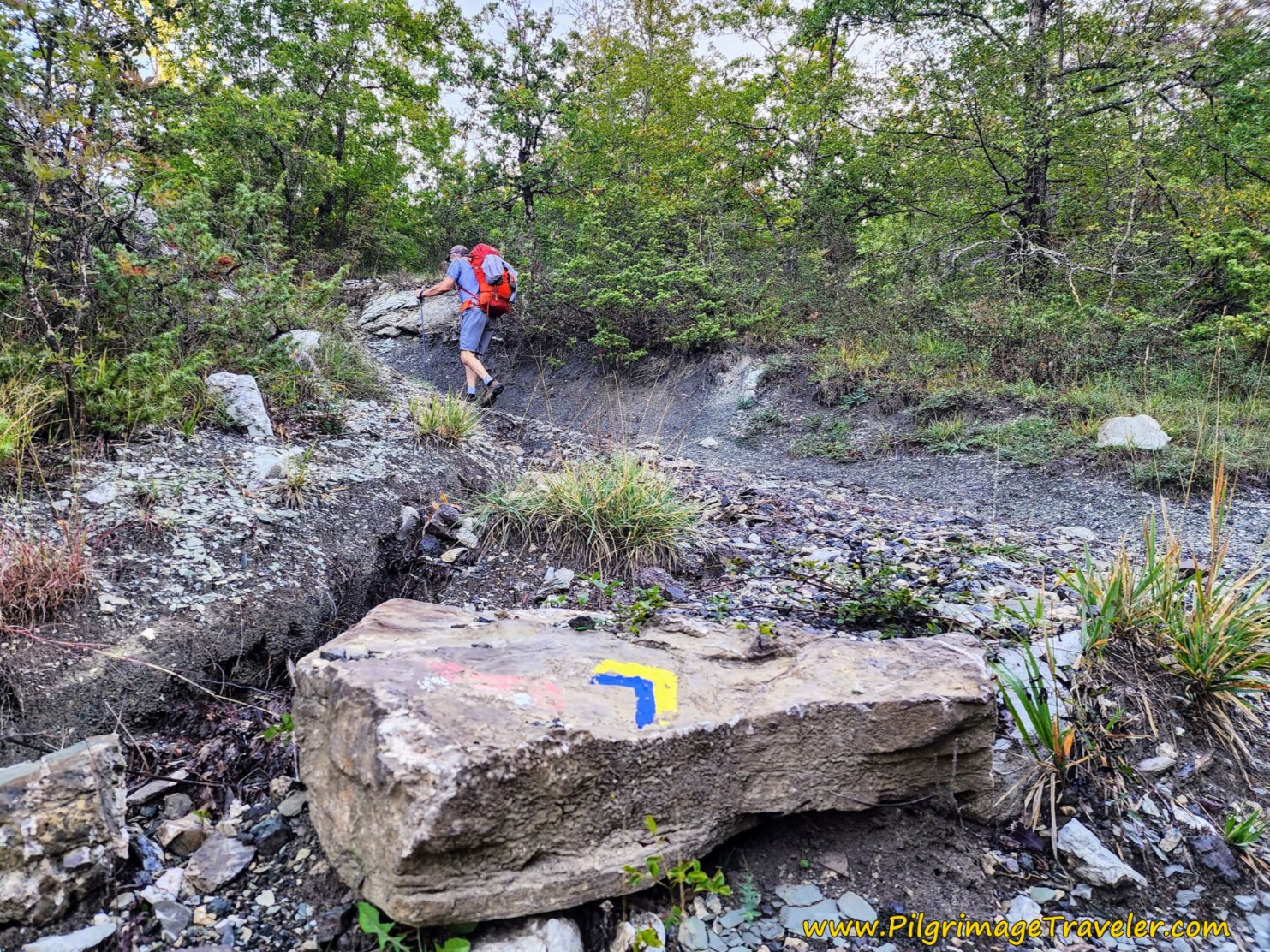
Soon after you leave the fields, the Via di Francesco starts to climb with a vengeance, but this time through a very rocky and eroded trail. Here is just one of the sections that was tricky to negotiate. If it has rained or is raining, extra care will be required.
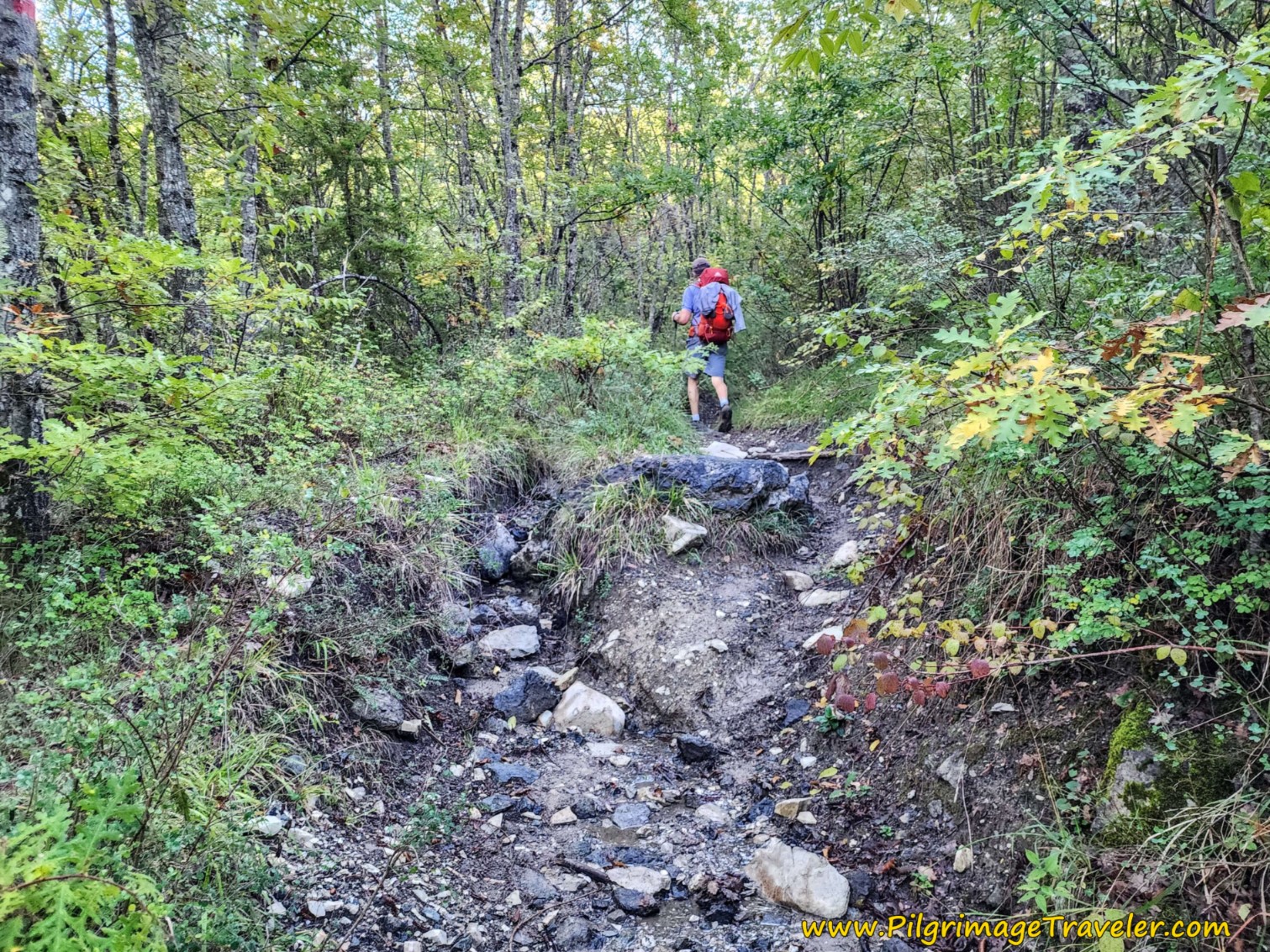 Rocky Eroded Trail
After about 4.85 kilometers, on the Way of St. Francis, from Pieve Santo Stefano to Montagna, there is a turn to the left that was clearly painted on the rock, a yellow and blue waymark. I finally figured out that if the stripes are bent at right angles, that indicates the direction of the turn! If they are just straight stripes, you walk straight!
The depression at the turn was full of water when we went through, although you can't see it here in the photo. There had been recent storms in the area.
After not quite five kilometers, we encountered slick slabs of rock that could be loose, so grippy footwear is nice through here, especially when wet. Fortunately, the slabs had dried out when we got here.
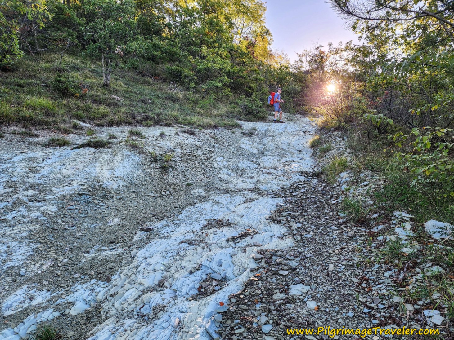 Slick Rock Slabs
And then suddenly you realize you are at the top of a point, after about 5.15 kilometers into your day. I am always so grateful to reach a summit, no matter how small! The world is my home!
Jump to Way of St. Francis Stages
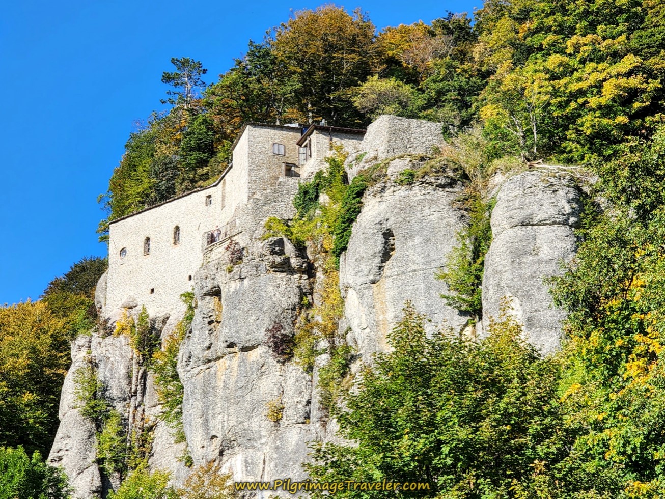
After a descent off the top, of about 200 meters, you quickly come upon the decision point - whether or not to visit the hermitage, the Eremo di Cerbaiolo. It is only about one additional kilometer, because you do not need to retrace your steps, and about a 70 meter elevation loss and then re-gain. Not bad.
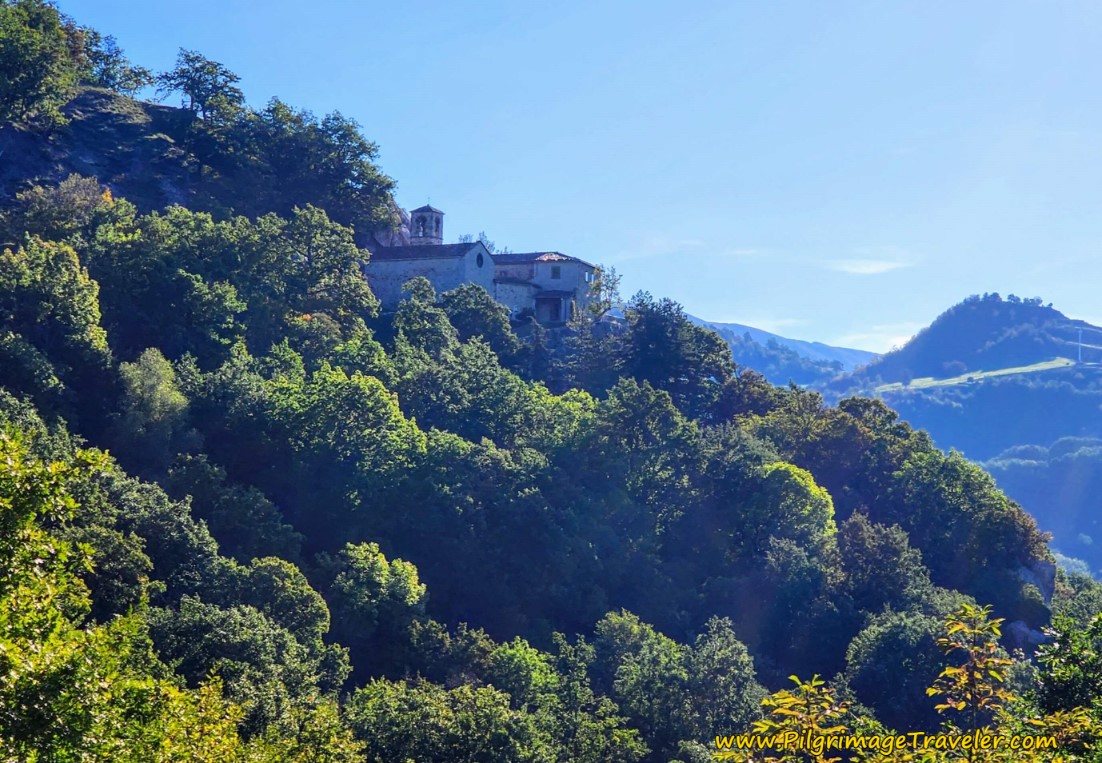
You can see the hermitage from the top of the summit point, beckoning you to come and visit!
We made the decision to go, descending on a nice lane for not quite 1/2 kilometer, then turning left at the bottom, to climb back up to the hermitage after about a total of 6.26 kilometers on the Way of St Francis, Pieve Santo Stefano to Montagna.
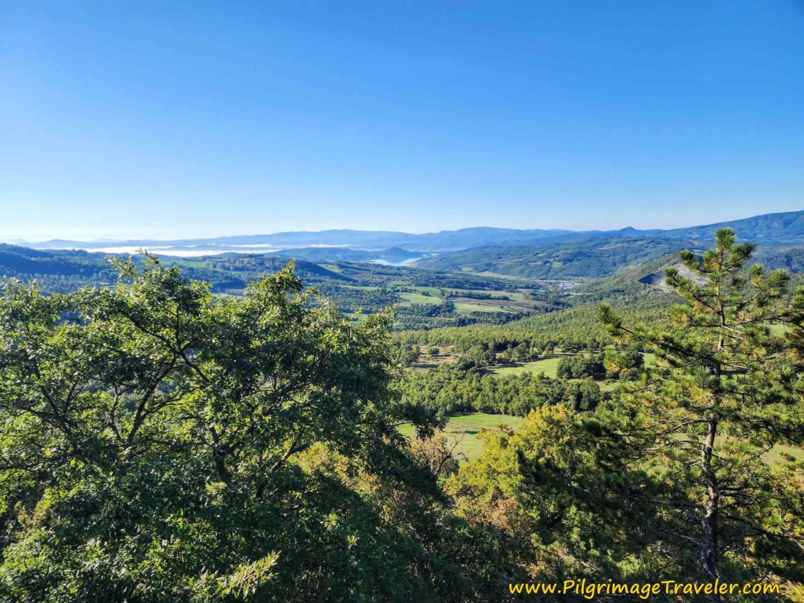
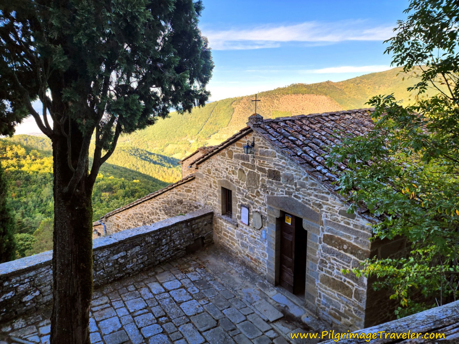
Originally built in 1216, the hermitage is now a modern re-construction in 1970, after it was bombed out in WWII. It is still a most reverent and serene place. There is a cave where St. Francis meditated as he often did throughout this area, and most glorious views out over the valley, all the way to the Montedoglio Reservoir, shown below.
As you approach the hermitage on the dirt road, first you enter through a gate. Next, you will see a grotto with a manger scene, with steps walking up to it, which we did not take and are not pictured.
(We were to learn that manger scenes are an incredibly popular thing in Italy, revered all throughout the year. Apparently, in 1291, St. Francis of Assisi asked Giovanni Vellita from the village of Greccio to create a manger scene so he could hold a Christmas Eve mass there. Thus began a tradition that has survived over the centuries, since we know how well-loved St. Francis is in Italy!)
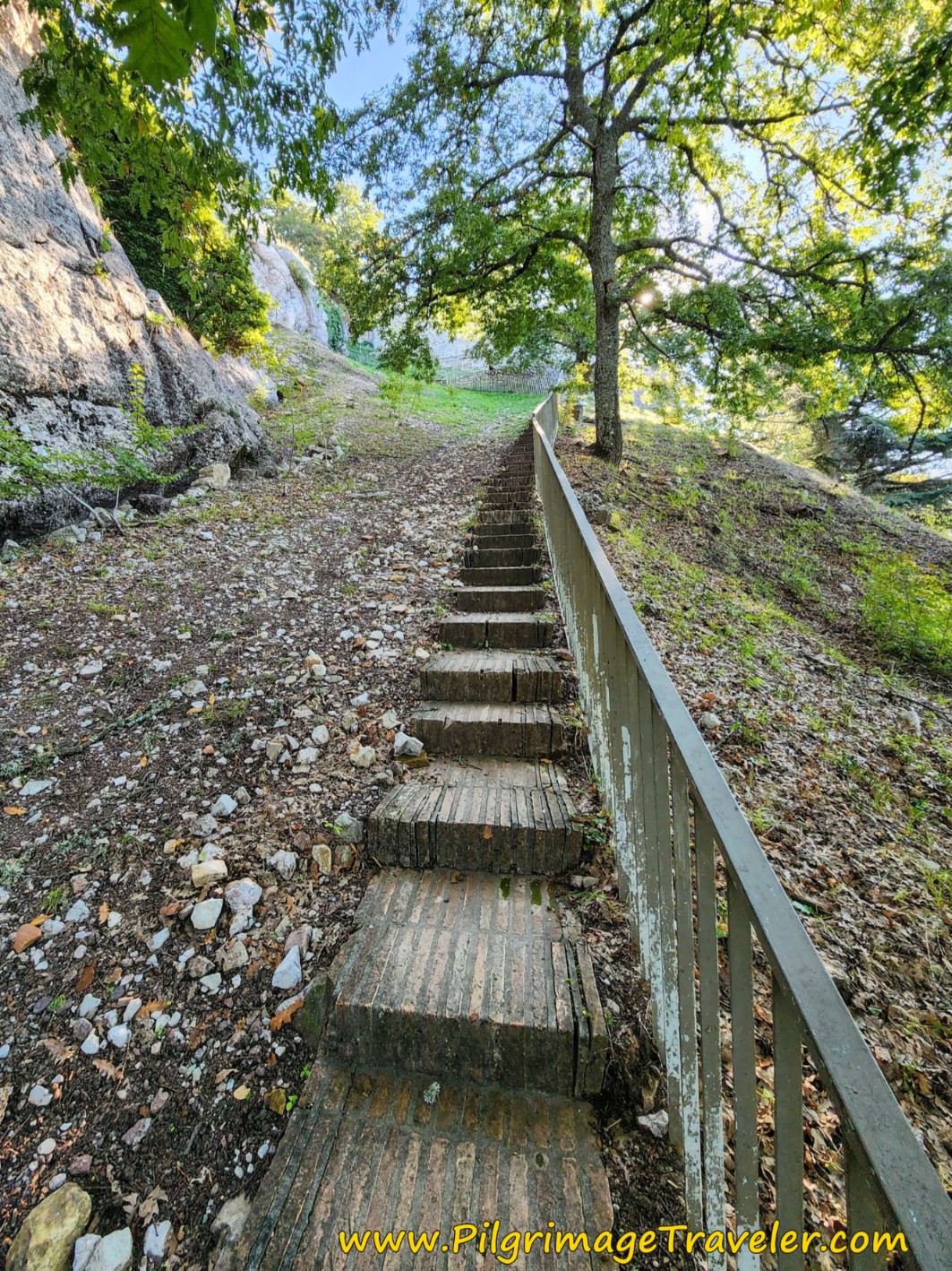
Shortly after the manger grotto, you come to a steep set of stairs, where it is shorter to leave the road and climb these stairs to the hermitage. There is a turn in the opposite direction to bypass these stairs and stay on the Via, but why would you if you have come this far? The sign says to the panoramic path of the Passo di Viamaggio, and we will take this path from the hermitage, after visiting it.
After visiting the hermitage, for which I have decided to show no interior photos, the way onward is on this shortcut, from the upper terrace and onto the "Percorso Panoramica" or the Panoramic Path. There is no need to retrace your steps.
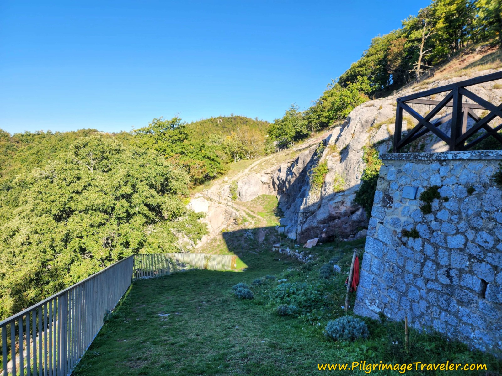 Shortcut via the Percorso Panoramica
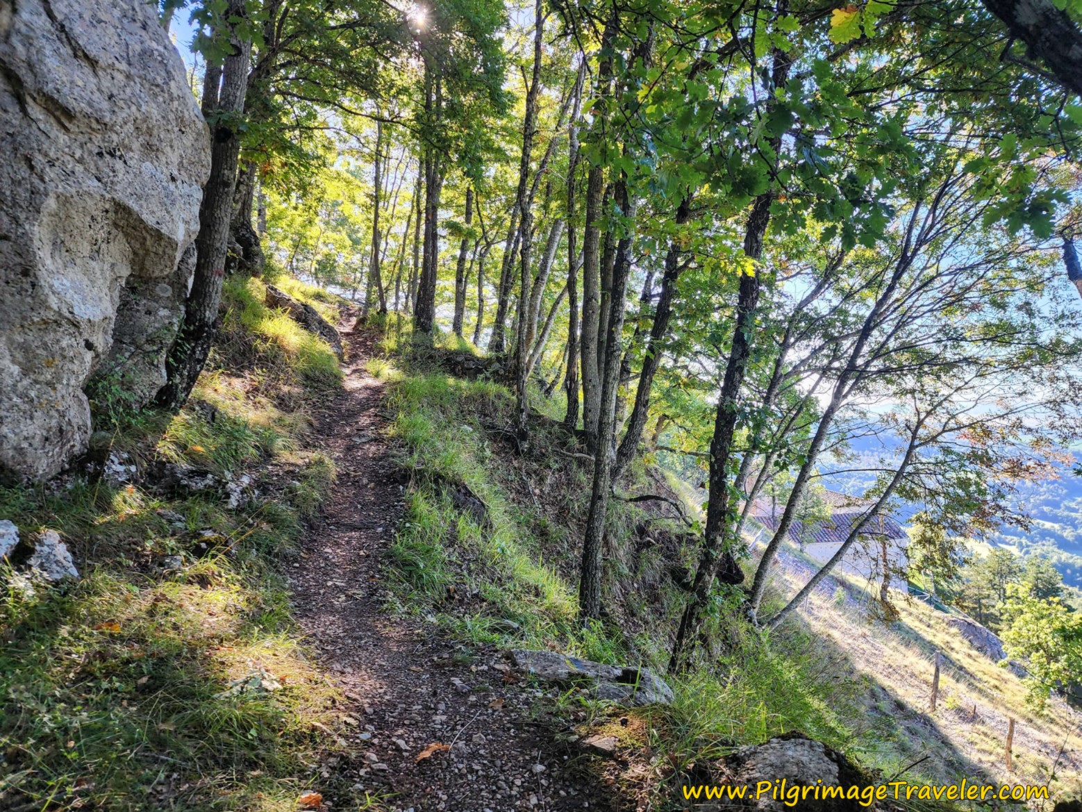
The panoramic path climbs steeply and switchbacks above the hermitage.
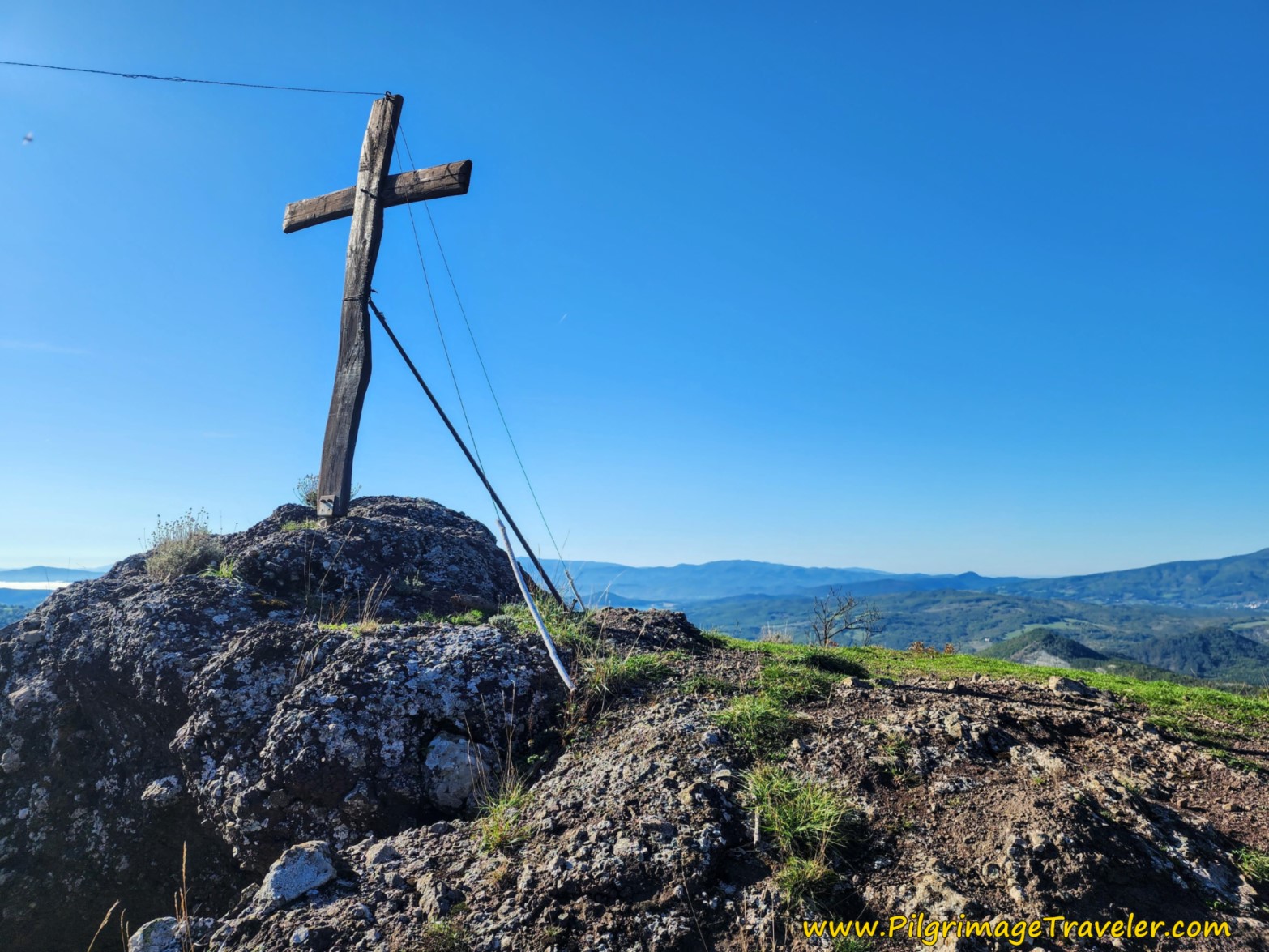
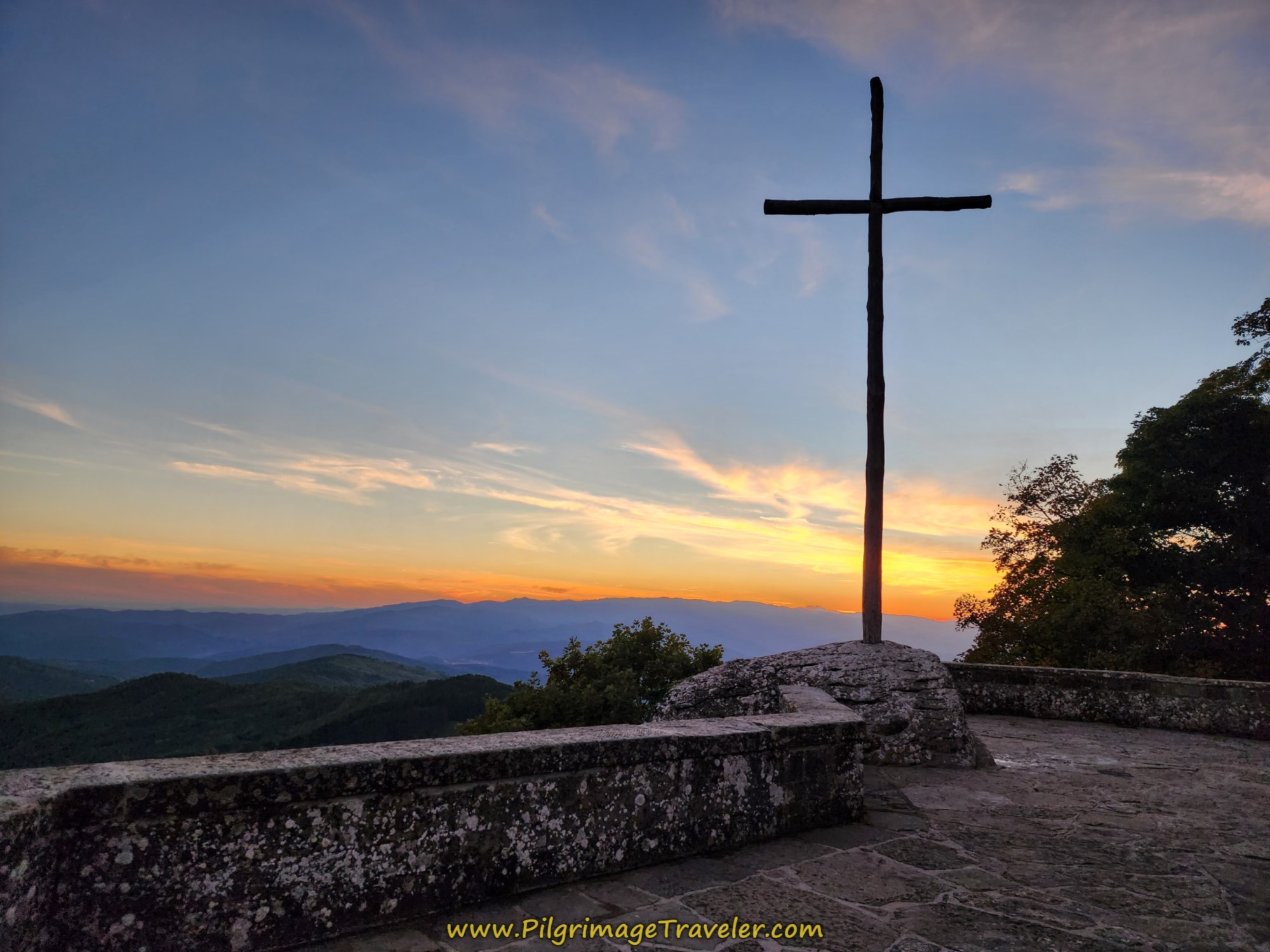
After only a 350 meter climb at about 6.4 kilometers into the day, come to the ridgetop with a cross, with more panoramic views.
Jump to Way of St. Francis Stages
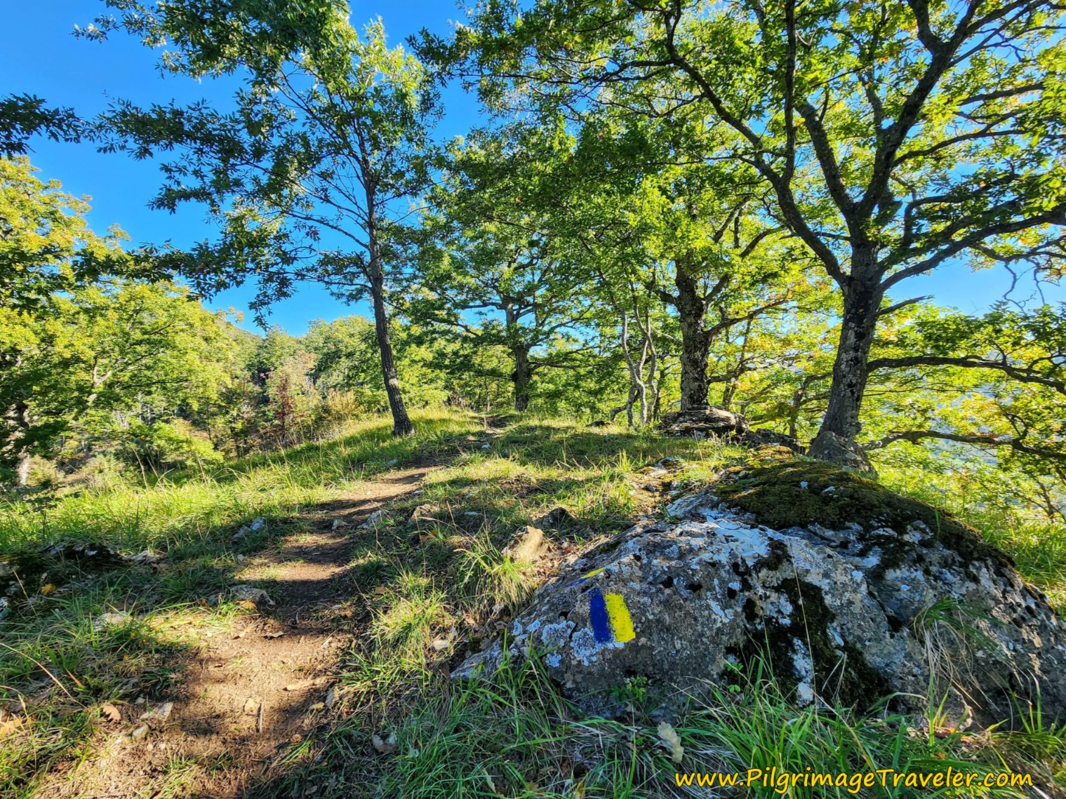
After admiring the views, follow the trail on the dramatic ridgeline as it gently ascends. You will see plenty of waymarks on the rocks and trees.
At 7.28 kilometers, approximately, arrive at the junction with the main trail that did not detour to the hermitage. The way is straight ahead, up steeply once again. After walking a few hundred meters after the junction, stay to the right.
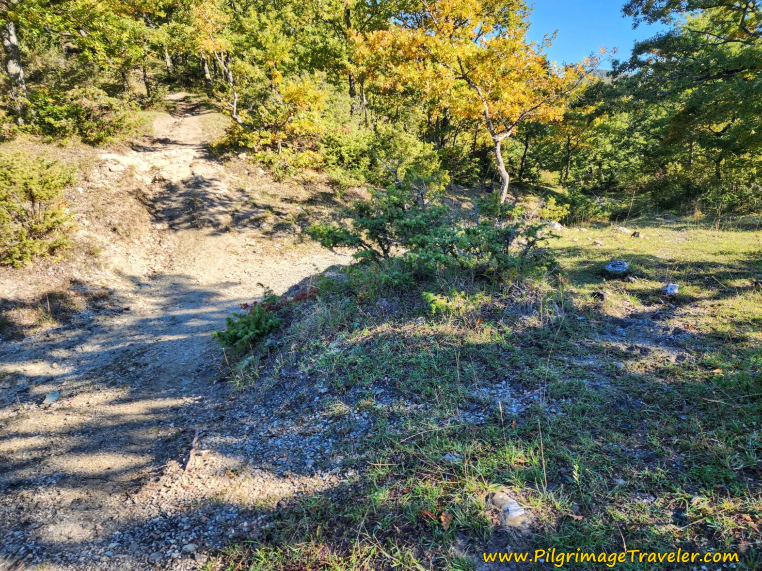 Merge with the Main Route Here
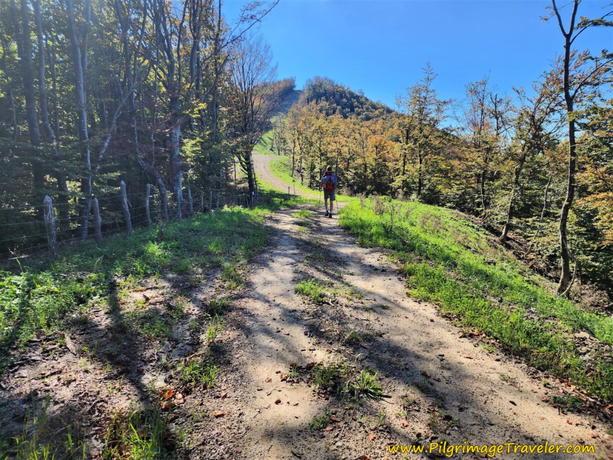
The route is now on tractor lanes, wider and more level as the forest opens into more open space.
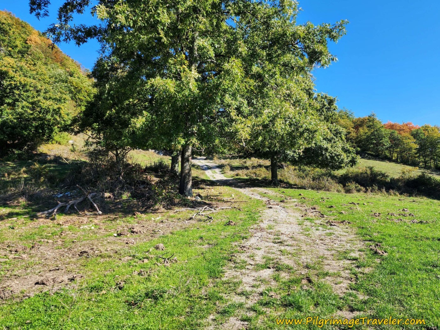 The Way Opens Up
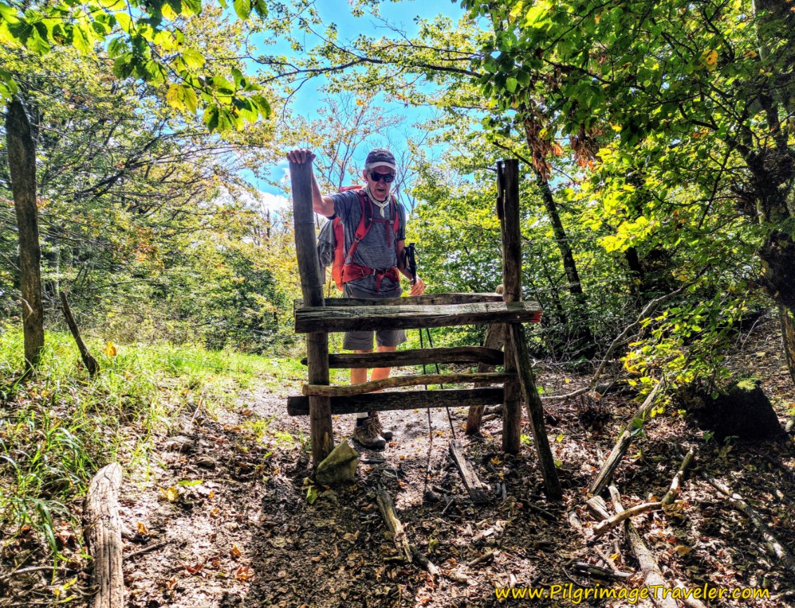
After about 8.25 kilometers, come to a gate that you must open and close. Be careful, this gate is electrified, so make sure you use the plastic handle to open and close it! Soon, the cows on the Way explained the gate, so be sure to close it. You will encounter the second gate like this a bit farther along.
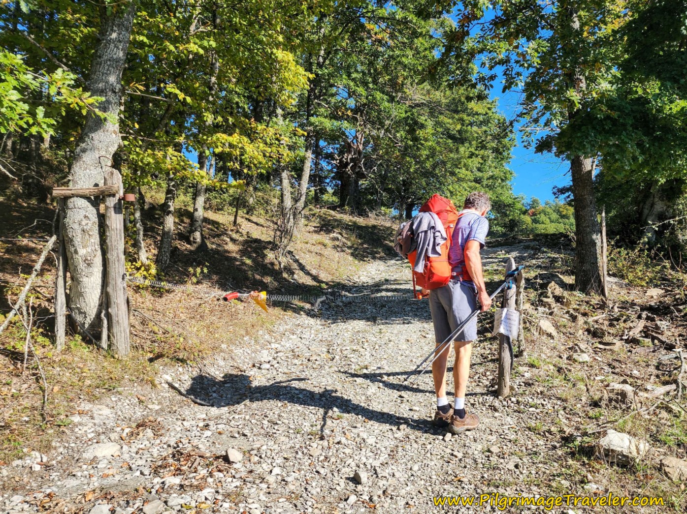 Go Through Gates to Pastures
The tinkling of the cow bells made for an enchanting sound on the Way of St Francis, Pieve Santo Stefano to Montagna.
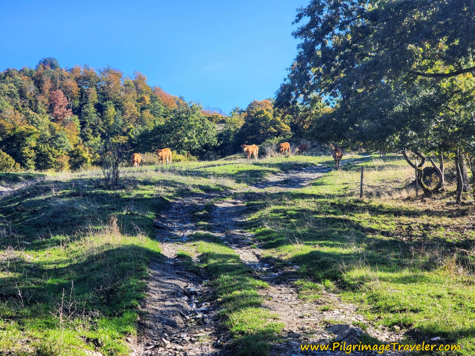 Cows in Pasture
After about 8.5 kilometers, we came to a ranch where the cows were being rounded up and herded into the corral.
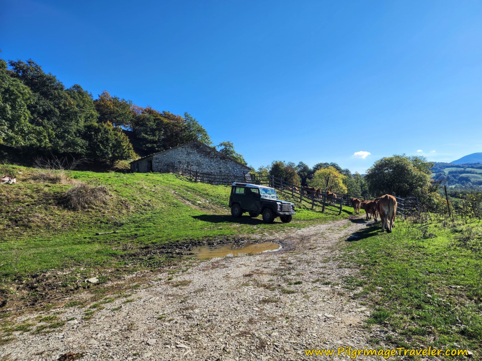 Pass this Ranch
The views after the ranch are quite nice. The world is my heart!
At a total of approximately 9.55 kilometers, on the Way of St Francis, Pieve Santo Stefano to Montagna, come to a bend in the road by a single home and take a left turn.
And after about another 350 meters on this open gravel lane, come to a T-intersection with the SP258. Turn right onto the road, and 100 meters later come to the inviting Bar L'Alpe, approximately 10 kilometers total for the day!
We did not know about this bar, and since Nick doesn't drink coffee, we did not stop, at about halfway into the day. In retrospect, I wish we had!
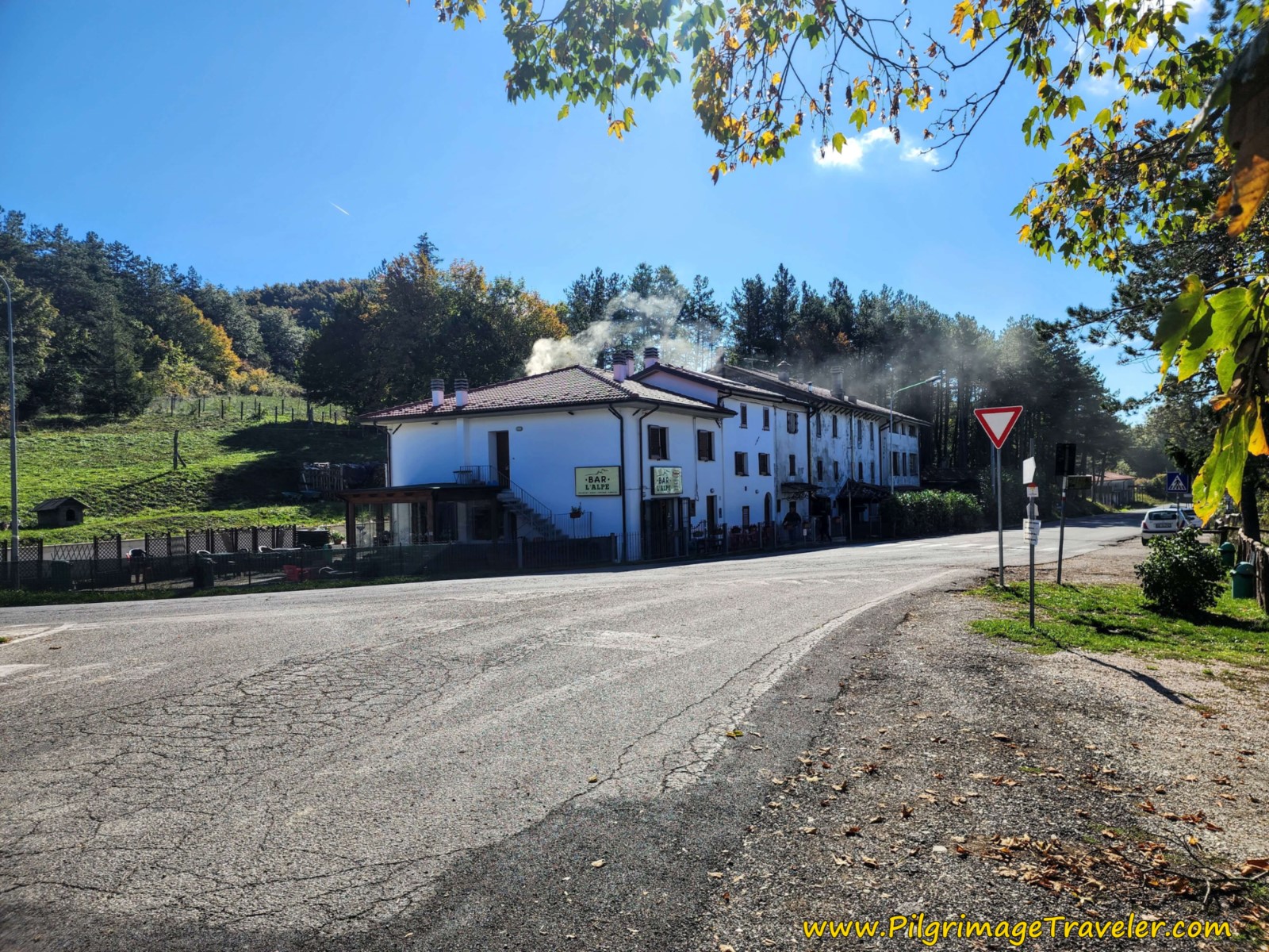 The Inviting Bar L'Alpe at the Viamaggio Pass
At the bar, you have arrived at the famous Valico di Viamaggio or the Viamaggio Pass, a significant landmark in WWII. The Germans built the Gothic Line here, to prevent the advancement of the Allies from the south. This pass was the only suitable road for the transit of heavy vehicles. To read more about this historic area, click on the link.
Most of the historic bunkers defending this Gothic Line are overgrown in the forest, but we did see one quite obviously in a clearing, see farther below.
Not even 100 meters down the road and you come to this chapel on your left, where the Way of St. Francis leaves the pavement for a trail. There are many signs at this intersection explaining the significance of this area in WWII.
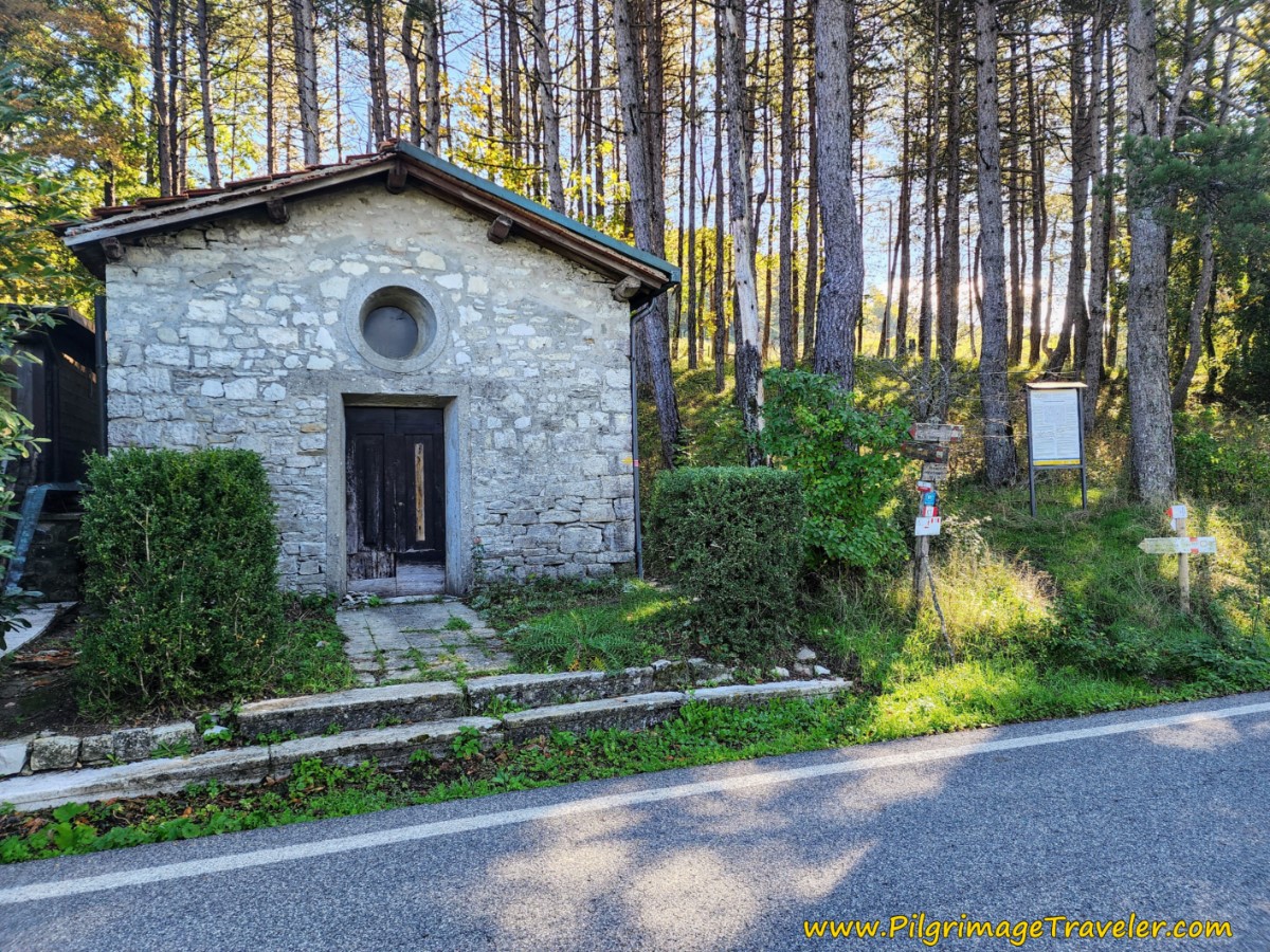 Back into the Woods at Chapel
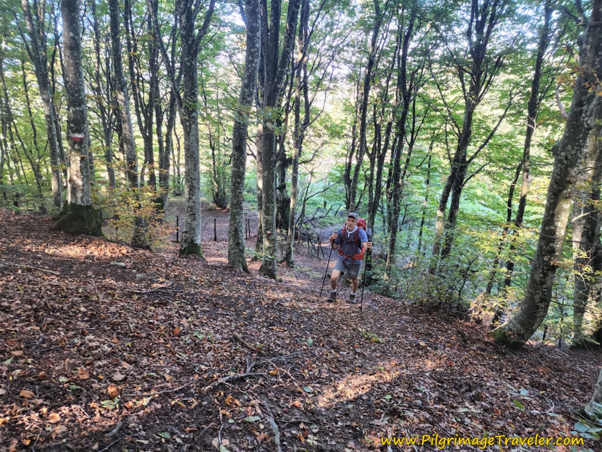
The trail soon starts to climb very steeply, as you can see in the photo below, on the Way of St Francis from Pieve Santo Stefano to Montagna. The trail has so many diversions, that you just need to pick one as you switch back up this quarter kilometer stretch. You will eventually join a fence line that is on your right and follow it.
After crossing through several gates, the fence line is now on your left. This fence line looks like this, in the photo below.
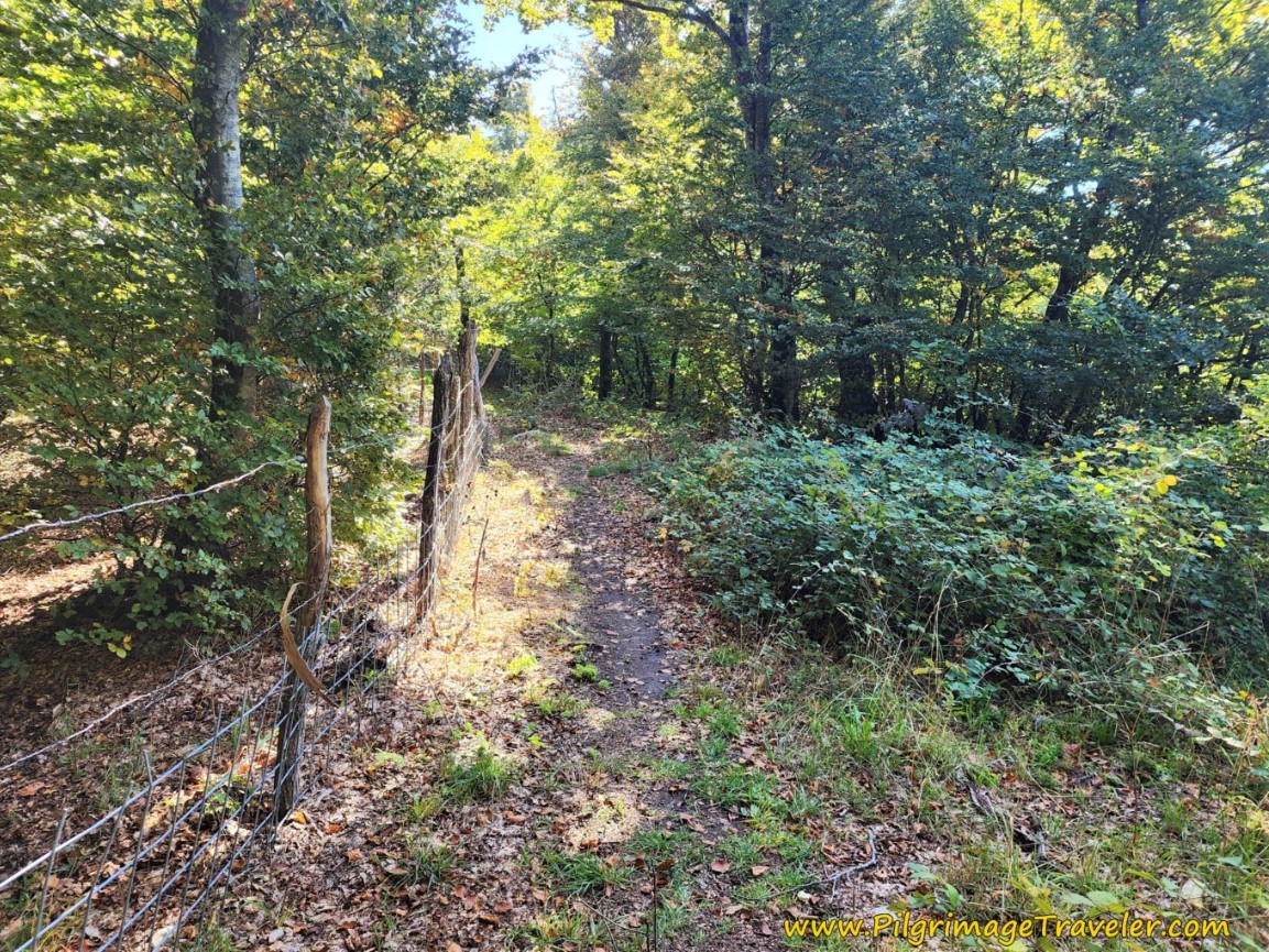 Follow the Fence Line
As you ascend through this area, keep your eyes peeled for trenches from the Gothic Line on your right. They didn't show up well in photographs, but there are several, the most prominent one after about 10.5 kilometers into the day.
Continue to cross through more gates. This one is unique.
After crossing the above gate, come to this open area, shown below, where beyond the clearing you see a strong cut into the mountain ahead. I was thinking, hmm, I wonder if that is the route.
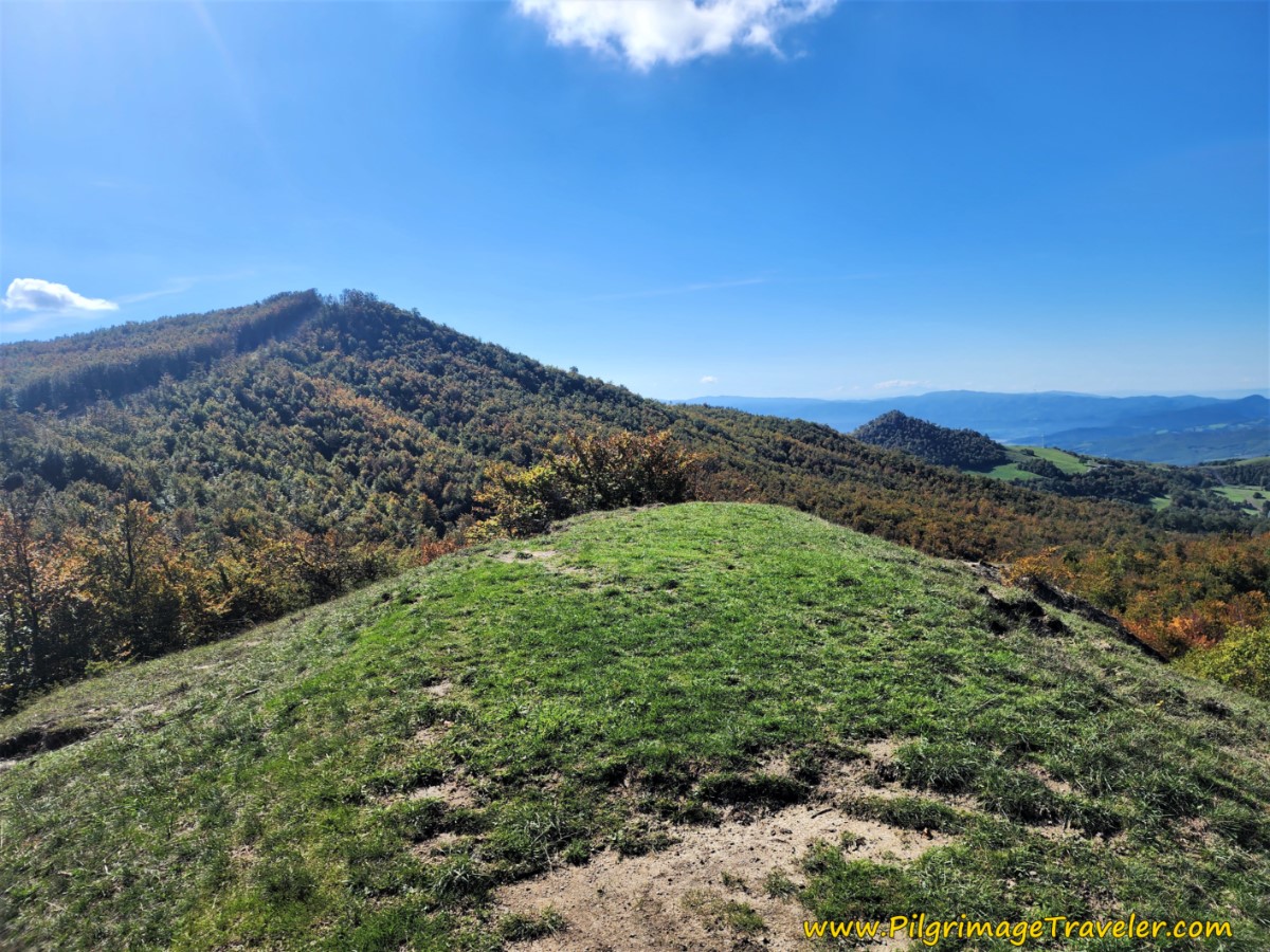 That's the Way Ahead
After about 11 kilometers, indeed, the Via di San Francesco does join the cut, by turning right onto the road running through it, pictured below. We still had a bit of a climb to reach the top, I thought.
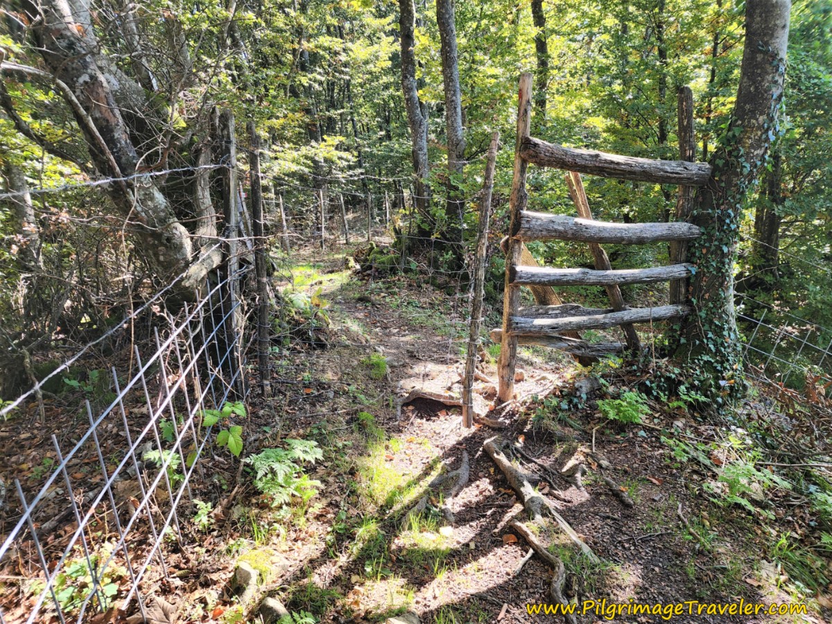
Then, after a bit more than 100 meters on this road, the Way turns off to the left, and back into the thick forest, at this gate, shown below. I like it!
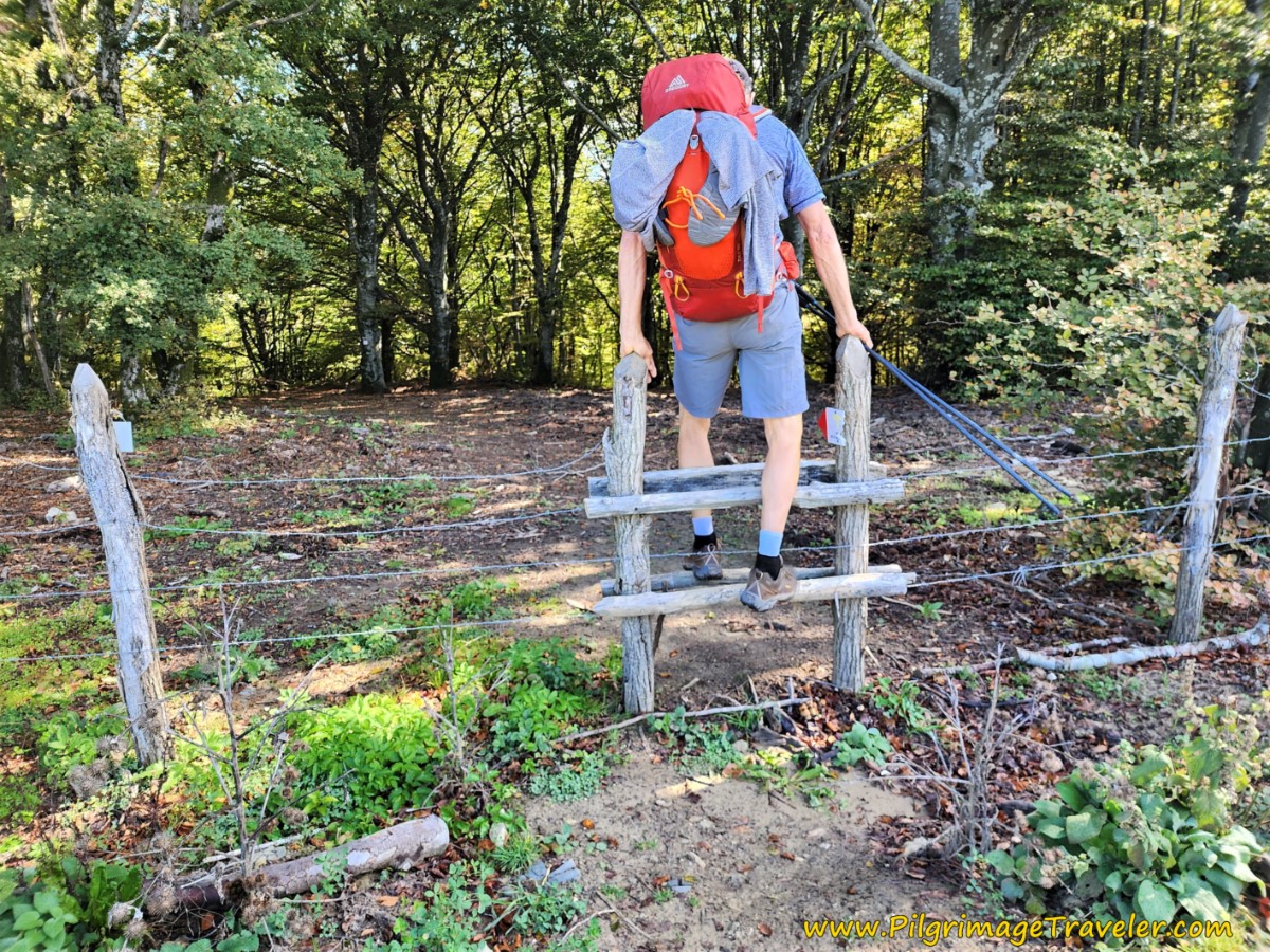 Leave the Road at the Gate
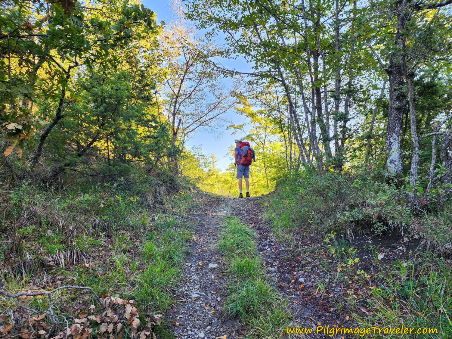
The forest is dense and holds the final ascent for the day. A few meters later, take a sharp right hand turn and onto a trail that essentially parallels the road through the cut.
The waymarks are sufficient through this section to find your way without a problem. It is the red and white waymarks that are the most frequent here, with an occasional yellow Tau, and some orange dots thrown in for good measure! I had no idea what the orange dots represented!
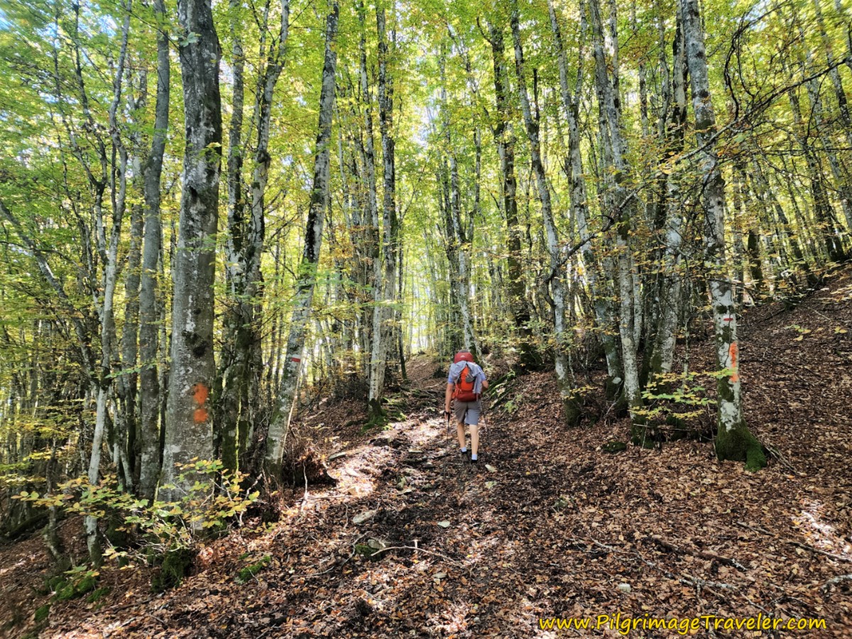 Final Climb in the Woods
After 11.7 kilometers, you can feel you are at the altitude top, which coincides with yet another gate, shown below. You are just below the top of where the road goes, and you can climb up there if you wish. I didn't see the point.
Jump to Way of St. Francis Stages
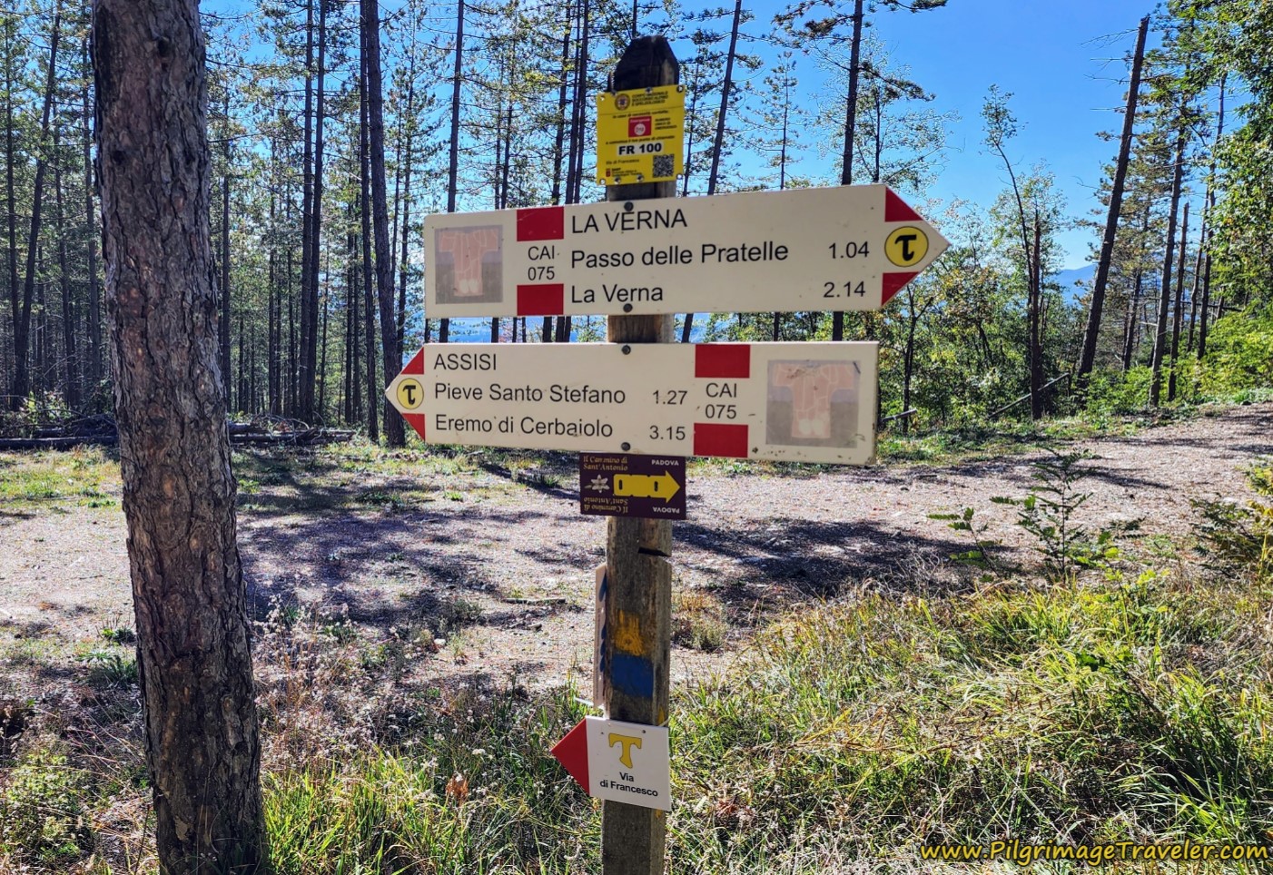
You will briefly see signs for yet another cammino called Il Cammino di Sant'Antonio, the Way of St. Anthony. Yet another route following the life of a saint. Apparently, St. Anthony lived at the Cerbaiolo hermitage for three years.
There is a very sharp descent on the other side of the altitude top, along the ridgetop, for about the next 700 meters. And suddenly, the trail ends with an intersection with this gravel road, shown below, at approximately 12.4 kilometers total for the day. You take a left hand turn onto this road.
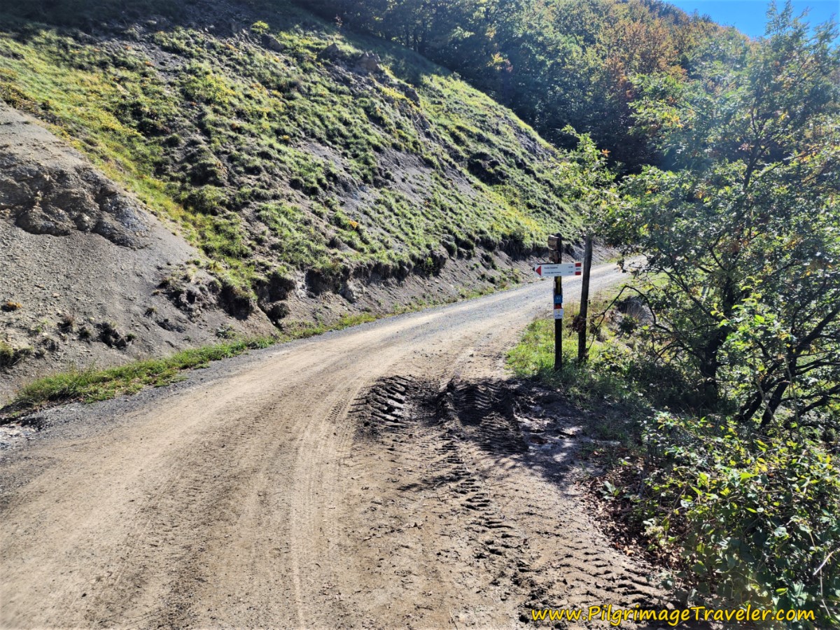 Return to Gravel Road
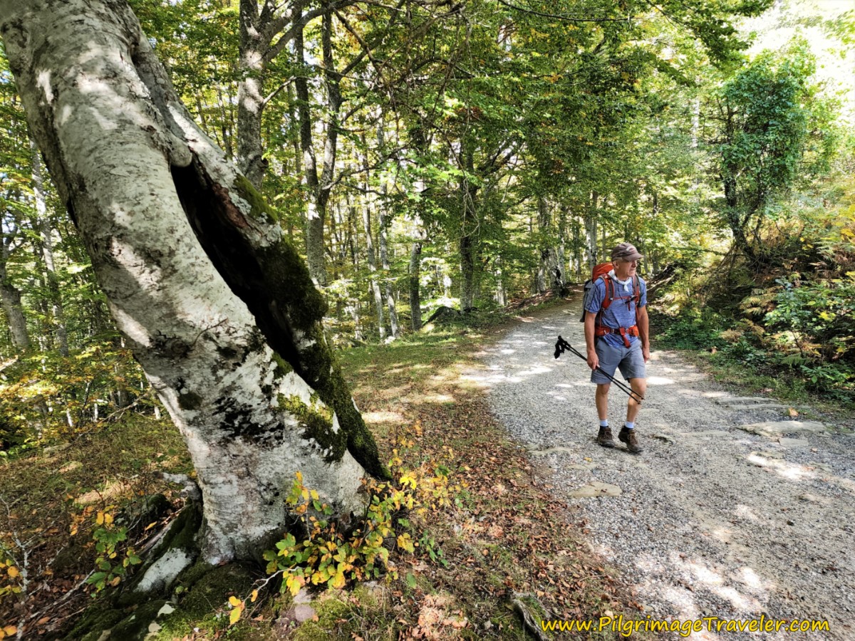
For more than six kilometers you will walk on this gravel road. It is easy walking with a small incline, followed by a small decline on the Way of St Francis, Pieve Santo Stefano to Montagna.
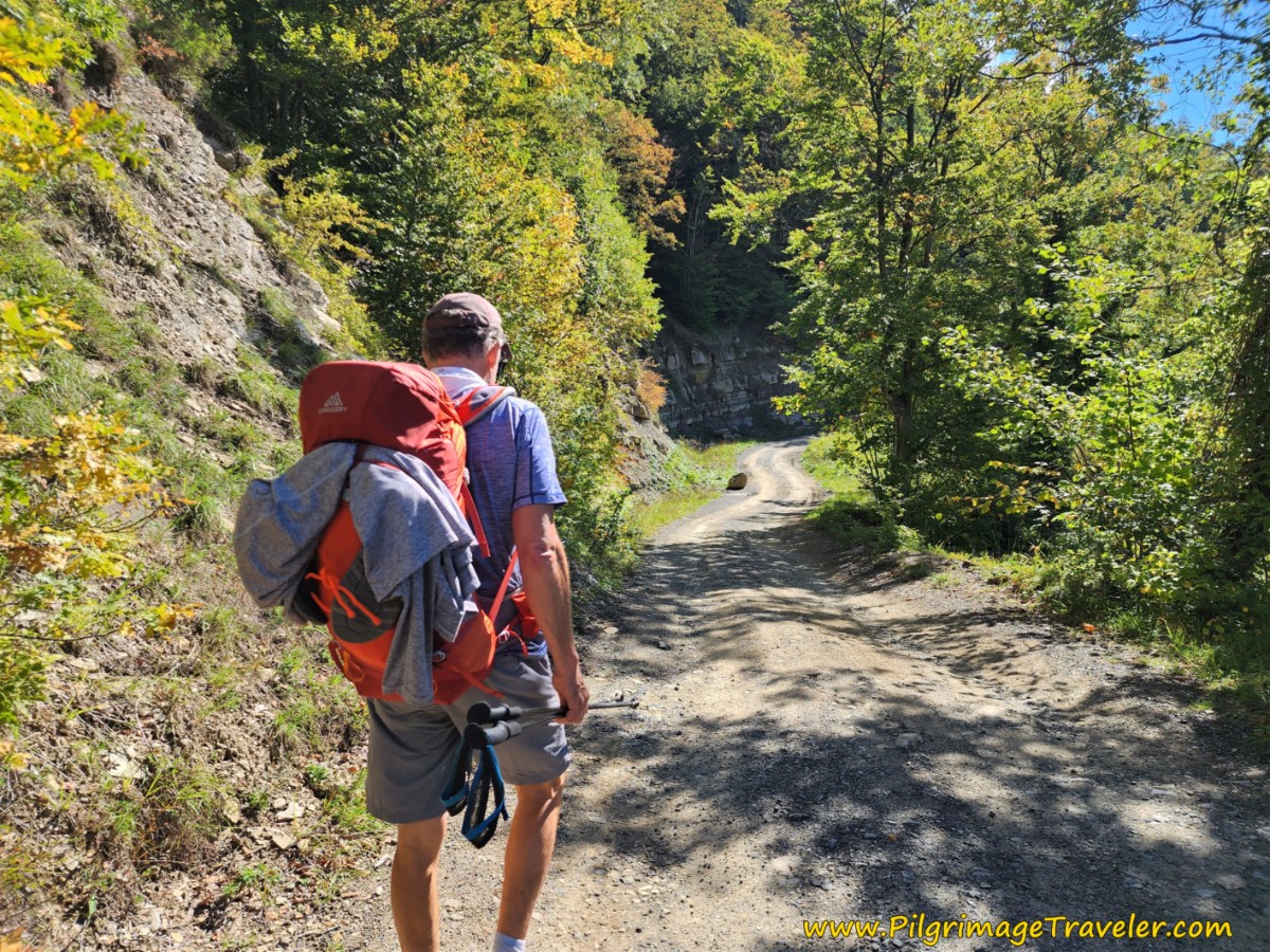 Gravel Road Levels Out
The first landmark where you will arrive is the nature reserve, L'Alpe della Luna Riserva Naturale, after 15.8 kilometers. This is a very cool and shady area, with a small, natural waterfall, just to the left of the road, at this bridge, shown below. The world is my monastery!
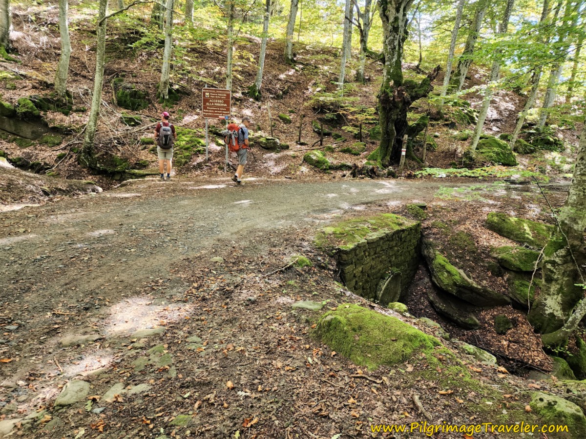 Walk Through Nature Reserve
This nature reserve makes for very pleasant walking!
After leaving the nature reserve, come to the very inviting and economical Rifugio Pian Della Capanna after 16.8 kilometers into the day. This would be a respectable distance for the end of your day, if you so desire. Click on the link for current information.
Again, in hindsight, I wish we would have stopped for a coffee break here, but we kept walking. Why, I don't know! There is a picnic area across the street if you wish to stop for a picnic.
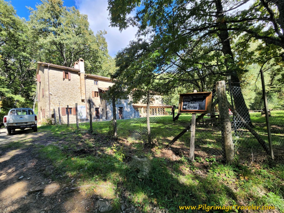 Pass Rifugio Pian Della Capanna
The gorgeous forest continues after the Rifugio.
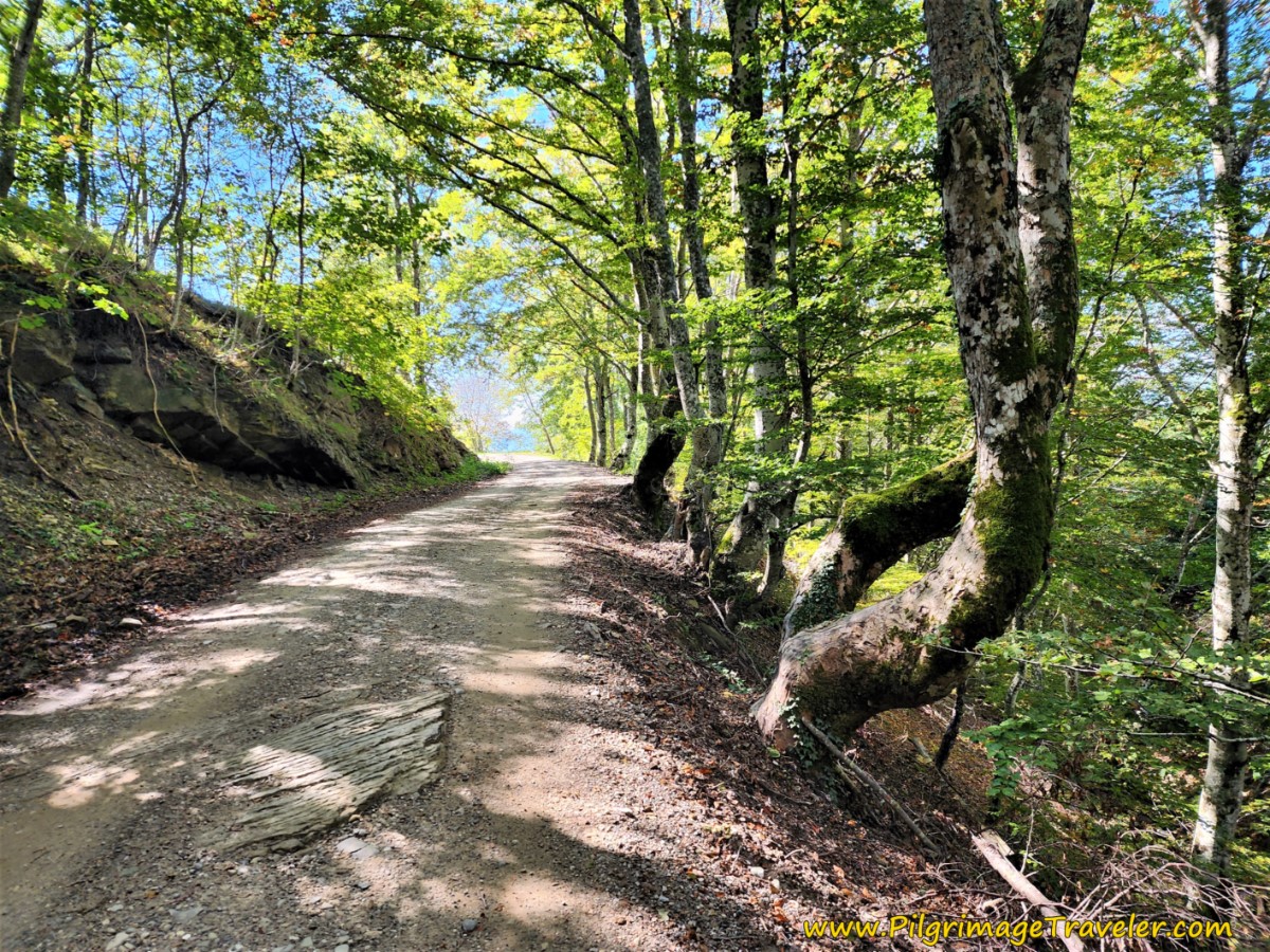 Onward Up Gravel Road, Way of St Francis, Pieve Santo Stefano to Montagna
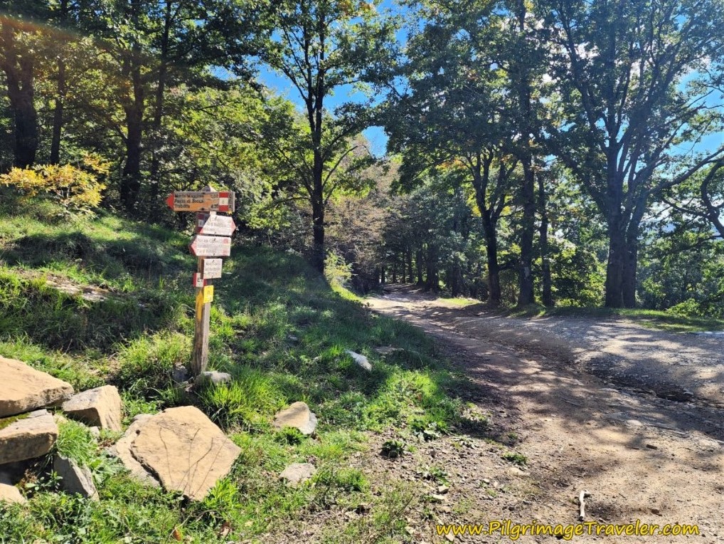 Cammino Bends to the Left
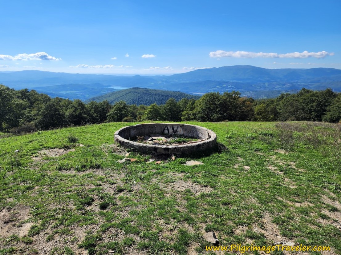
At 18 kilometers, come to large clearing, where a very noticeable bunker can be seen off to your right. What a vantage point, the Germans had from this height.
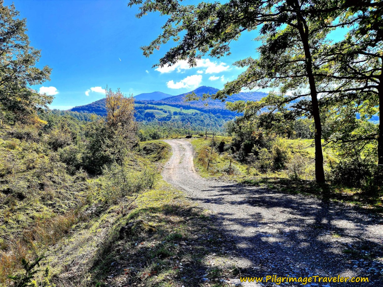
The gravel road ahead is open and with lovely views.
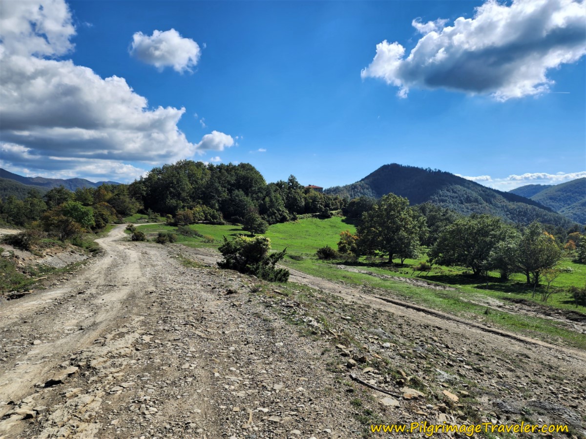 Road with Views
By 18.7 kilometers, finally leave the gravel road for this path to the left, shown below.
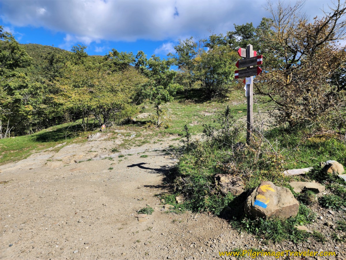 Left Turn Onto Path
Once again, this path is loose gravel at times, quite rocky and full of rubble at other times, and negotiates deep holes that may be filled with water.
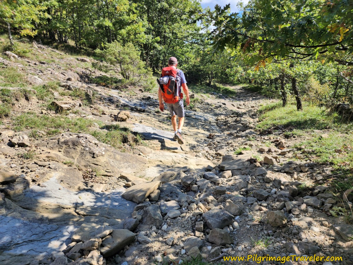 More Rocky Paths
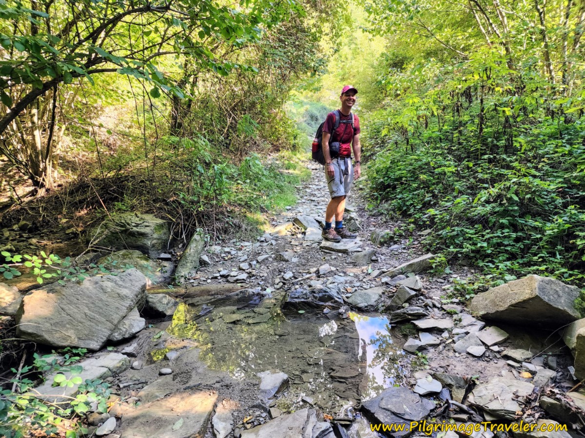 Nick Negotiates Puddle
This rocky path must have been a road, perhaps, because it eventually widens out and becomes more of one.
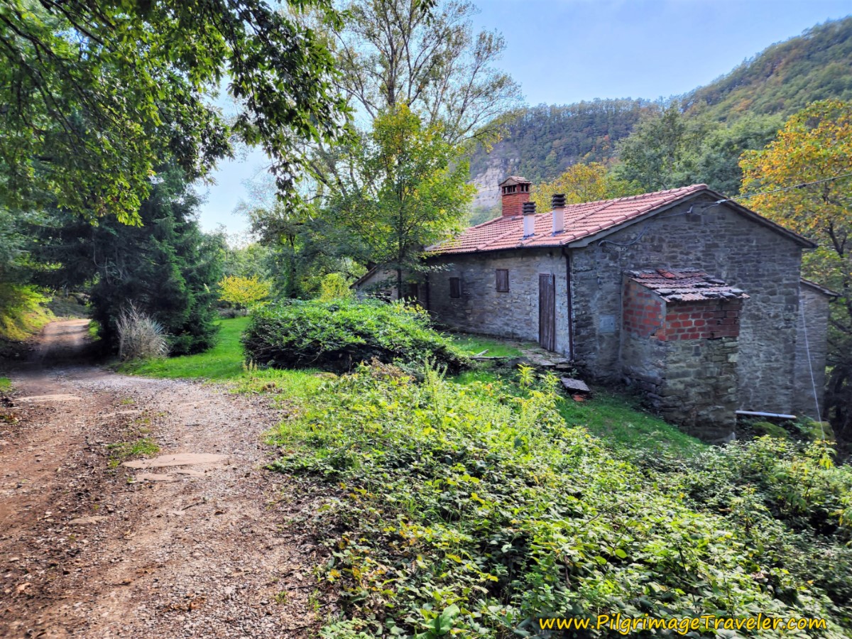
Arrive at this lovely home in a ruined state after approximately 21.7 kilometers, called Il Podere, "The Farm," on the map.
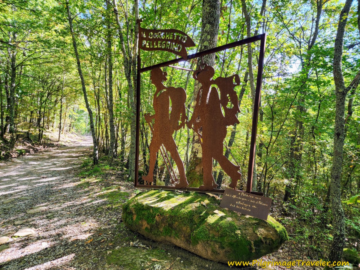
And just before the Il Borghetto Pellegrino, "Pilgrim's Hamlet" sign, shown below, after 22.2 kilometers, you pass another small stone building.
The sign welcoming you to the Pilgrim's Hamlet was a very welcome one, as we knew Montagna, our destination for the day, was just around the corner!
Jump to Way of St. Francis Stages
And just a bit more than 100 meters later the most gorgeous B&B Il Palazzo appears! Advanced reservations are required here, click the link for their Facebook page or call +39 347 781 7173.
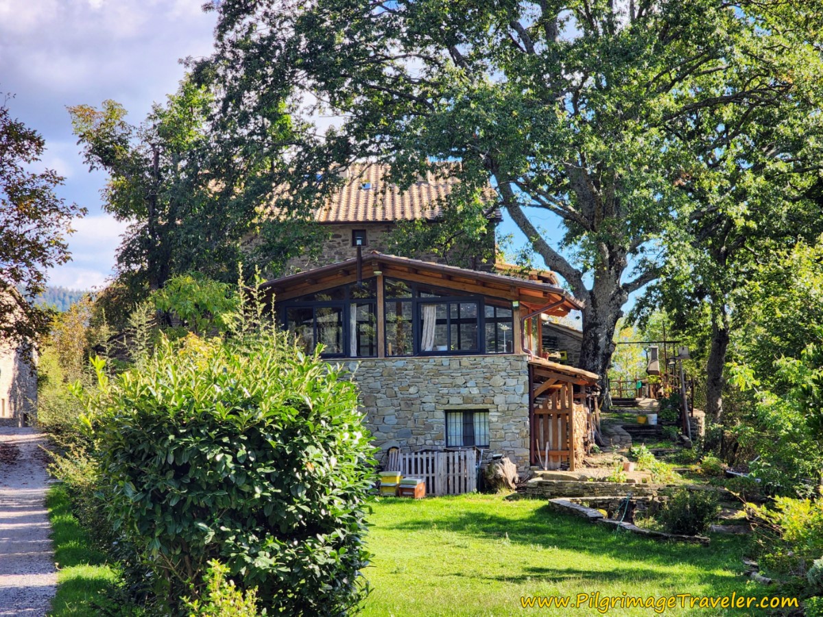 Pass By the B&B Il Palazzo
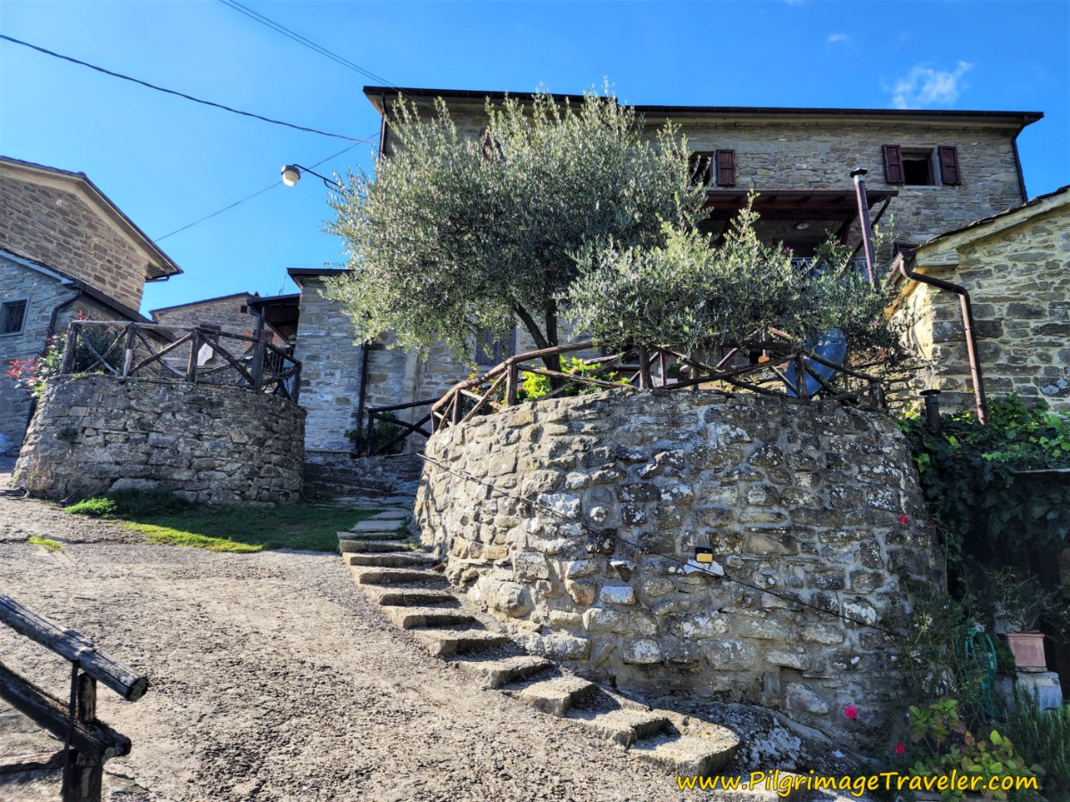
About one more kilometer after the B&B, you enter the town proper of Montagna, shown below.
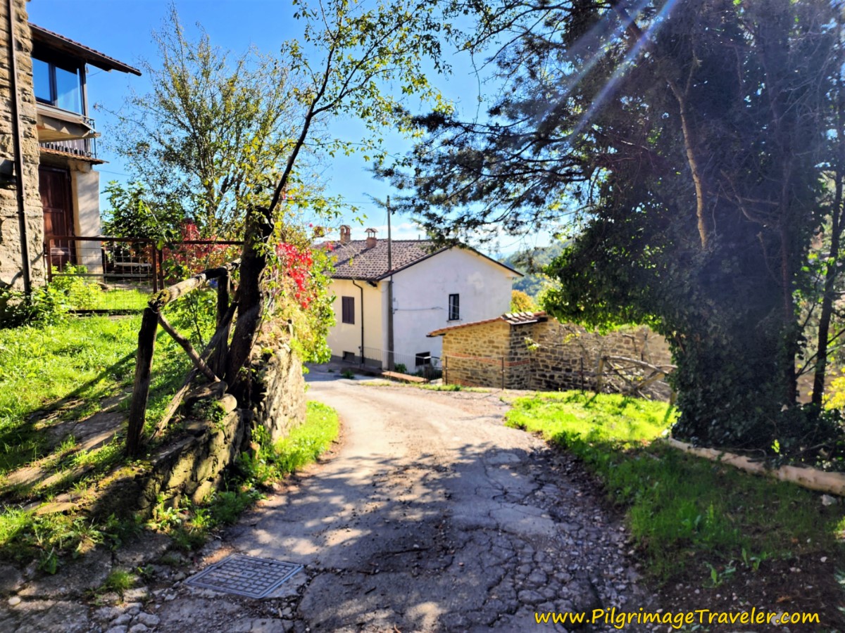 Entering Montagna
The sign for the left turn to the Alla Batutta (+39 349 382 9435) is almost immediately after arriving into town. I picture it below, and this is where we stayed. Please call or book ahead for reservations here as well! These places are so remote that they must be assured they will have sufficient supplies for you!
For 48 Euros we were offered a lovely double room including breakfast. What a charming place this was, with an outdoor garden and sitting area, and rooms built right into the rock.
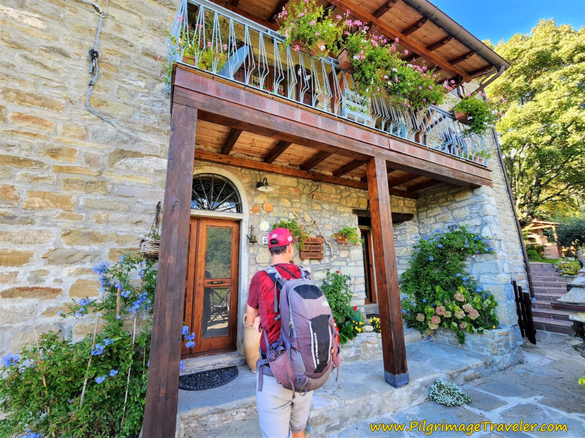 Nick at the Alla Battuta Entrance
The only restaurant in Montagna is now closed, as is the Church of San Michele Arcangelo, which used to house pilgrims but is now a community center.
Our hostess, Orfelia, offered us dinner for 15 Euros each, which she cooked herself. It was a full course meal, with the first course of pasta, second course with a plate of vegetables and meat, wine and dessert. She was a very happy and gracious hostess and we were happy pilgrims!
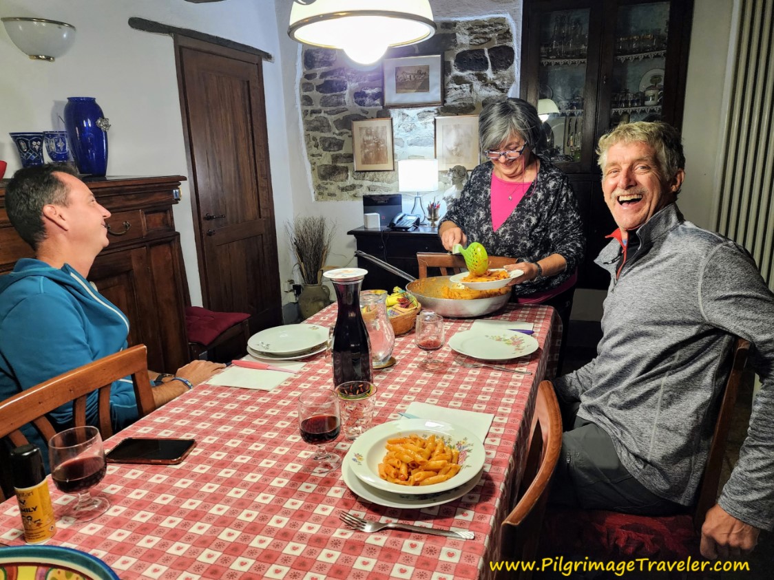 Fabulous Meal at the Alla Battuta
We tucked ourselves into our beds with very full bellies after a successful second day on the Via di Francesco!
Reflections, The Way of St Francis, Pieve Santo Stefano to Montagna
This day had no real issues or dilemmas to overcome. The nature walk was just the right length, despite the elevation gain in the first half of the day.
The world truly is a monastery, if you walk slowly and with your eyes open to your marvelous surroundings!
Salutation
May your own Way of St Francis, from Pieve Santo Stefano to Montagna be filled with familiar and heartfelt moments, where you can truly say, "The world is my monastery!" Ultreia!
Way of St. Francis Stages
Northern Route, Via del Nord ~ La Verna to Assisi
Southern Route, Via del Sud ~ Assisi to Rome
Please Consider Showing Your Support
Many readers contact me, Elle, to thank me for all the time and care that I have spent creating this informative website. If you have been truly blessed by my efforts, have not purchased an eBook, yet wish to contribute, I am exeedingly grateful. Thank you!
Search This Website:
🙋♀️ Why Trust Us at the Pilgrimage Traveler?

We’re not a travel agency ~ we’re fellow pilgrims! (See About Us)
We've trekked Pilgrimage Routes Across Europe since 2014!
💬 We’ve:
- Gotten lost so you don’t have to. 😉
- Followed waymarks in the glowing sunlight, the pouring rain and by moonlight. ☀️🌧️🌙
- Slept in albergues, hostels & casa rurals. Ate and drank in cafés along the way. 🛌 😴
- Created comprehensive and downloadable GPS maps and eBook Guides, full of must-have information based on real pilgrimage travels. 🧭 🗺️
- Shared our complete journeys, step by step to help YOU plan your ultimate pilgrimage and walk with your own Heart and Soul. 💙✨
Every detail is from our own experiences. Just fellow pilgrims sharing the Way. We have added a touch of spirituality, heartfelt insights and practical guidance from the road ~ offering a genuine connection to the spirit of pilgrimage. Tap into the wisdom of seasoned pilgrims!
Ultreia and Safe Pilgrimage Travels, Caminante! 💫 💚 🤍
Follow Me on Pinterest:
Find the Pilgrimage Traveler on Facebook:
Shroud Yourself in Mystery, along the Via de Francesco!
Walk in the Footsteps of St. Francis, and Connect Deeply with the Saint and to Nature in the Marvelous Italian Countryside!
Need suggestions on what to pack for your next pilgrimage? Click Here or on the photo below!
Find the Best Hotel Deals Using This Tool!
Carbon Trekking Poles ~ My Favorites!
Carbon fiber construction (not aluminum) in a trekking pole makes them ultra lightweight. We like the Z-Pole style from Black Diamond so we can hide our poles in our pack from potential thieves before getting to our albergue! There are many to choose from! (See more of our gear recommendations! )
Gregory BackPack ~ My Favorite Brand
Do not forget your quick-dry microfiber towel!


