- ~ Home
- ~ Camino de San Salvador (The Way of the Savior)
- Day Three, Poladura de la Tercia to Pajares or San Miguel del Río
Jump to Camino de San Salvador Stages
Day Three on the Camino de San Salvador, Poladura de la Tercia to Pajares, 13.8 Kilometers (8.6 Miles) OR to San Miguel del Río, 14.8 Kilometers (9.2 Miles)
Disclosure: the PilgrimageTraveler.com is an associate of Booking.com, Roamless, and Amazon. As associates of these merchants, we earn from qualifying purchases from our links.
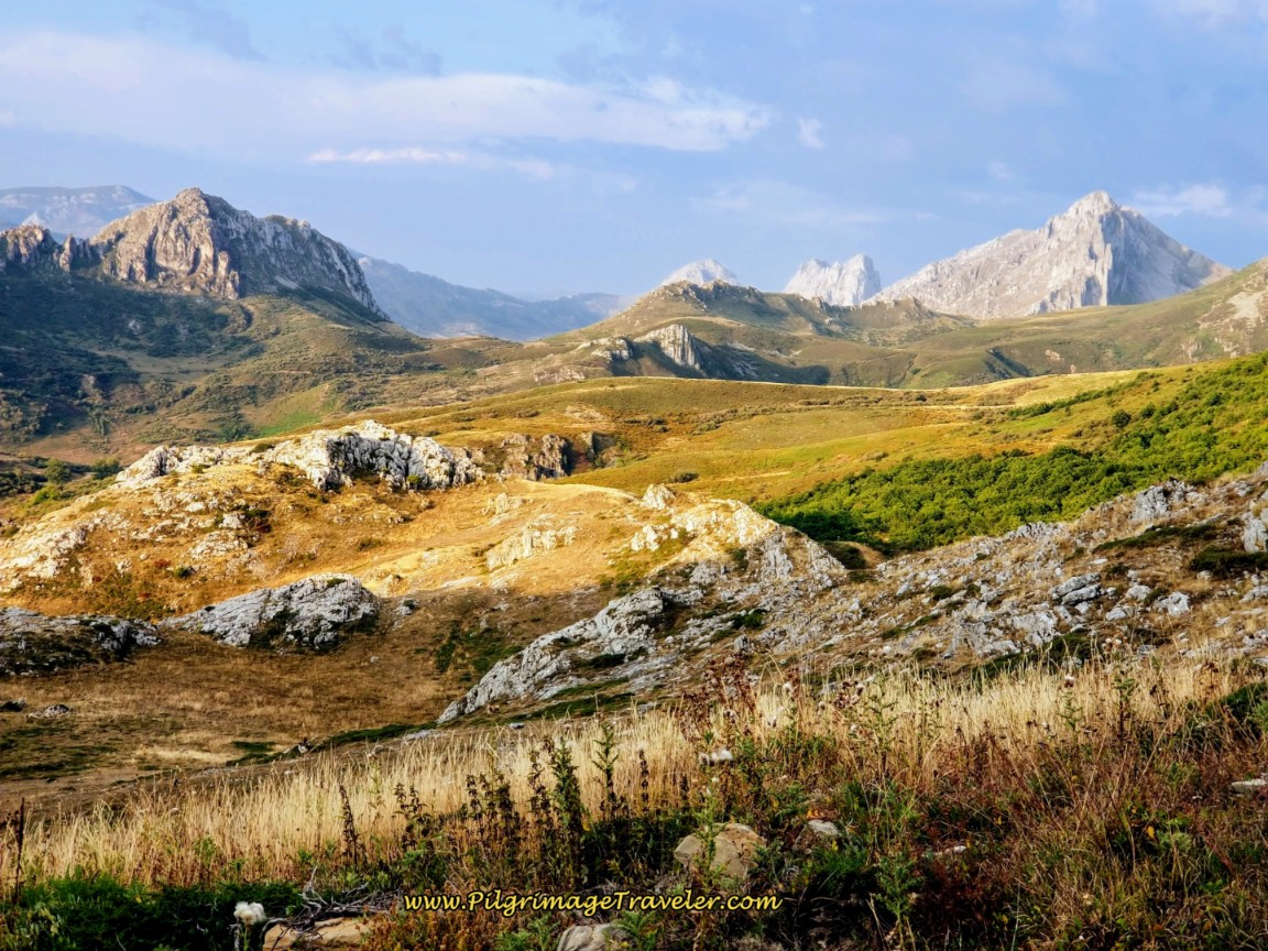
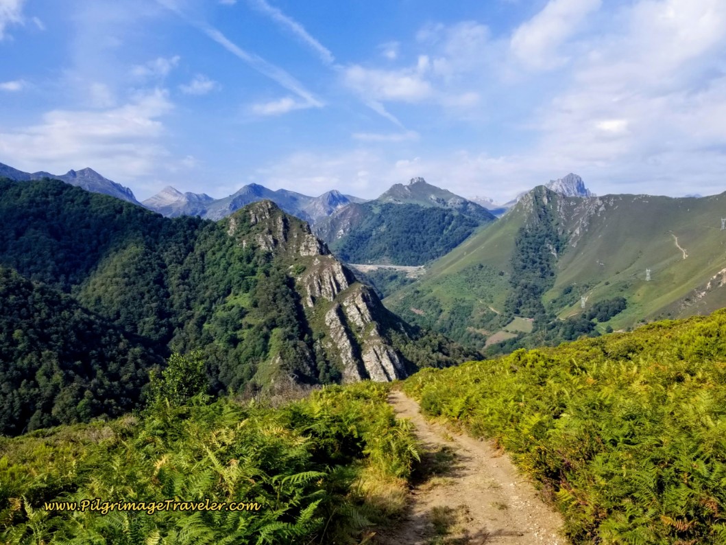
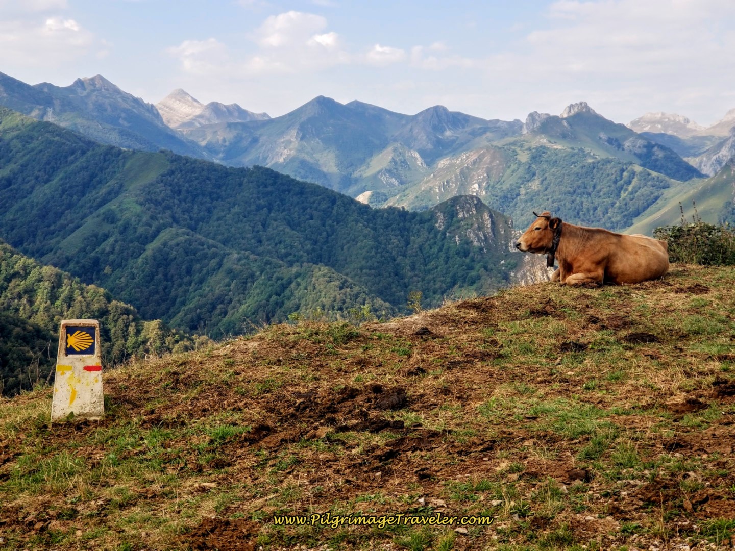
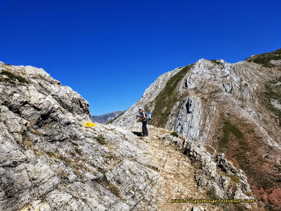
Day three on the Camino de San Salvador was a stunning climb out of Poladura to the Cross of San Salvador and the highpoint, the Canto la Tusa, and a gorgeous walk over the Puerto de Pajares at 1400 meters (4593 feet). The views of the mountains are nothing less than fabulous!
"Live your life each day as you would climb mountains. An occasional glance towards the summit puts the goal in mind. Many beautiful scenes can be observed from each new vantage point. Climb steadily, slowly, enjoy each passing moment; and the view from the summit will serve as a fitting climax to the journey." ~ Harold V. Melchert
🙋♀️ Why Trust Us at the Pilgrimage Traveler?
We’re not a travel agency ~ we’re fellow pilgrims! (See About Us)
We've trekked Pilgrimage Routes Across Europe since 2014!
💬 We’ve:
- Gotten lost so you don’t have to. 😉
- Followed waymarks in the glowing sunlight, the pouring rain and by moonlight. ☀️🌧️🌙
- Slept in albergues, hostels & casa rurals. Ate and drank in cafés along the way. 🛌 😴
- Created comprehensive and downloadable GPS maps and eBook Guides, full of must-have information based on real pilgrimage travels. 🧭 🗺️
- Shared our complete journeys, step by step to help YOU plan your ultimate pilgrimage and walk with your own Heart and Soul. 💙✨
Every detail is from our own experiences. Just fellow pilgrims sharing the Way. We have added a touch of spirituality, heartfelt insights and practical guidance from the road ~ offering a genuine connection to the spirit of pilgrimage. Tap into the wisdom of seasoned pilgrims!
Ultreia and Safe Pilgrimage Travels, Caminante! 💫 💚 🤍
This day’s narrative covers only the 13.8 kilometers to Pajares, with accommodations available, and the 14.8 kilometers to San Miguel del Río, for those continuing onward, since there are no appropriate pilgrim accommodations there.
Our first time through we completed the full 30.2 kilometers from Poladura de la Tercia all the way to Campomanes, including the detour to see the Colegiata de Santa María de Arbás (see below). This was a Herculean effort, taking us a full 10 hours! I was totally wiped out at the end of the day!
The next time through, we knew how difficult a day it was and stopped in Pajares! Believe me, there is a reason why the 3rd stage on the San Salvador is a short one and ends in Pajares. We learned the hard way.
For stronger walkers, or those in a time crunch, you can easily continue onward from San Miguel to Llanos de Somerón, to the private Albergue Cascoxu, about another 3.7 kilometers more, for a total of approximately 18.5 kilometers. This would be a wonderful way to provide a middle-of-the-road type of day, not too short, but not too long.
For even stronger walkers, there is the parochial Albergue Parroquial Virgen de Bendueños (+34 674 67 17 06), 13.7 kilometers more from San Miguel, if you have the proprietor pick you up at the square in Herías (or Erías). That would make a total of 28.5 kilometers, a hard day, but doable. If you walk to this albergue, it is an additional 1.5 kilometers off-Camino, including a hill climb of 50 meters, for a total of 30 kilometers.
Call ahead if you wish to stay in Bendueños, as they must obtain enough food for your dinner. This albergue comes highly recommended!
From Herías, it is about 1.7 kilometers more to Campomanes and all downhill for a total of 30.2 kilometers from Poladura.
From Pajares to Bendueños albergue, including the off-Camino additional 1.5 kilometers from Herías, it is only about 16.8 kilometers. As you will see for day four, it is 17 kilometers to continue to Campomanes.
But why not take a slow and short day, enjoying all the fabulous views that day three has to offer? A long, leisurely lunch at the Puerto de Pajares is what we did. The views from the Cafetería El Mirador (closed Tuesdays), in the old Parador building are to die for!
Be forewarned that after the turn-off to Pajares at the decision point and 10 kilometers into the day, it is a 20 kilometer pounding downhill all the way to Campomanes! Even though day three is the most beautiful day on the Camino de San Salvador, it will test the strongest of knees.
👣 Camino de San Salvador EBook Guide
Walk smarter with our ad-free, beautifully formatted and downloadable Camino de San Salvador eBook Guide in PDF Format ~ perfect for offline use in the mountainous and remote areas along the Way. Includes daily stage details, alternative routes and stunning photos! Our eBook Guide is unique because we also entertain and immerse you with our story!
Don't carry a hard copy guide book to increase your pack weight. Use our digital guide on your mobile device on your next Camino instead! Now, you can walk with clarity and confidence in the Cantabrian mountains.
📲 Instant download. 💸 Money-back guarantee. 🔄 Free updates for 1 year.
👉 Click here for more information, or BUY NOW.
Maps and Stats of Day Three on the Camino de San Salvador
Below is our Google map of day three on the Camino de San Salvador. You can see your choice of routes in blue, after the Puerto de Pajares. The orange route is the way from Pajares for the next day, day four, where the two routes join in San Miguel del Río.
The blue route to San Miguel is one kilometer longer than the route to Pajares, but when you add the distance from Pajares to San Miguel, the Pajares route is 600 meters longer. It is debatable whether or not the scenery is more dramatic on the San Miguel route. Too bad there is no albergue in San Miguel del Río.
You could actually walk up to Pajares from San Miguel del Río, the reverse of the standard direction, see the route in orange on the map below, but the short 1.6 kilometers is a hard huff and puff up the steep mountainside, gaining about 160 meters.
Carry food and water in your pack for this stage as the only place for refreshment is the Cafetería El Mirador. Be prepared for no stop if it is a Tuesday, more significant if you are walking onward after San Miguel del Río. Also carry your food for dinner if you are planning to cook in the albergue in Pajares. The town has no grocery store. The last grocery store, the Coviran, is in La Pola de Gordón, way back on day two, but be advised it is not open on Sundays!
There is the Pensión El Mirador where you can get dinner in Pajares, even if you are not staying there, but only if you reserve it ahead. The restaurant will also close randomly. I have heard that the hospitalero in Pajares may assist you with food if the restaurant is closed.
Below are the two elevation profiles, the first to Pajares and the second to San Miguel del Río. They are identical the first 10 kilometers, but after that, you can see the drop to San Miguel del Río is steeper for longer for a total of one more kilometer.
There are two high points of the day, after the Cruz de San Salvador at 2.65 kilometers, a bit more than halfway up the first climb, then it is all downhill from there.
 Elevation Profile, Day Three, Camino San Salvador, Poladura de la Tercia to San Miguel del Río
Jump to Camino de San Salvador Stages
Photo-Rich Travelogue for Day Three on the Camino de San Salvador
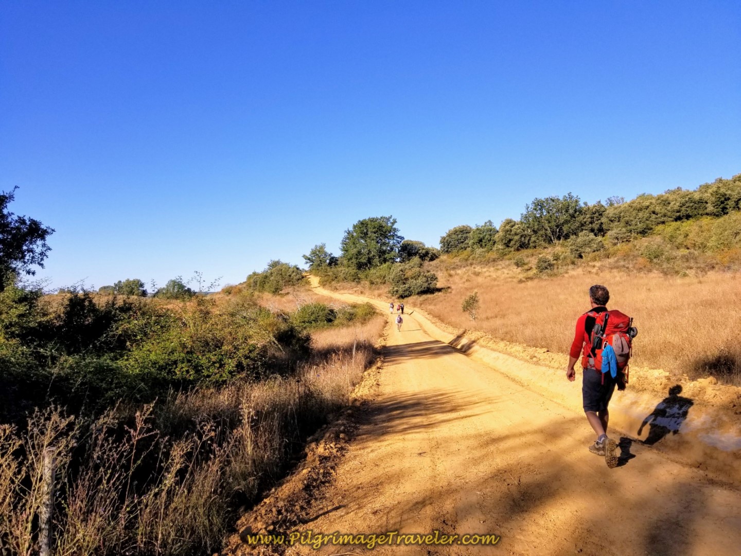
We were well-advised not to leave Poladura before sunlight, because you wouldn't see anything of the splendor that is this day three on the Camino de San Salvador. Since I don't like to leave before daybreak anyway, this was no problem for us.
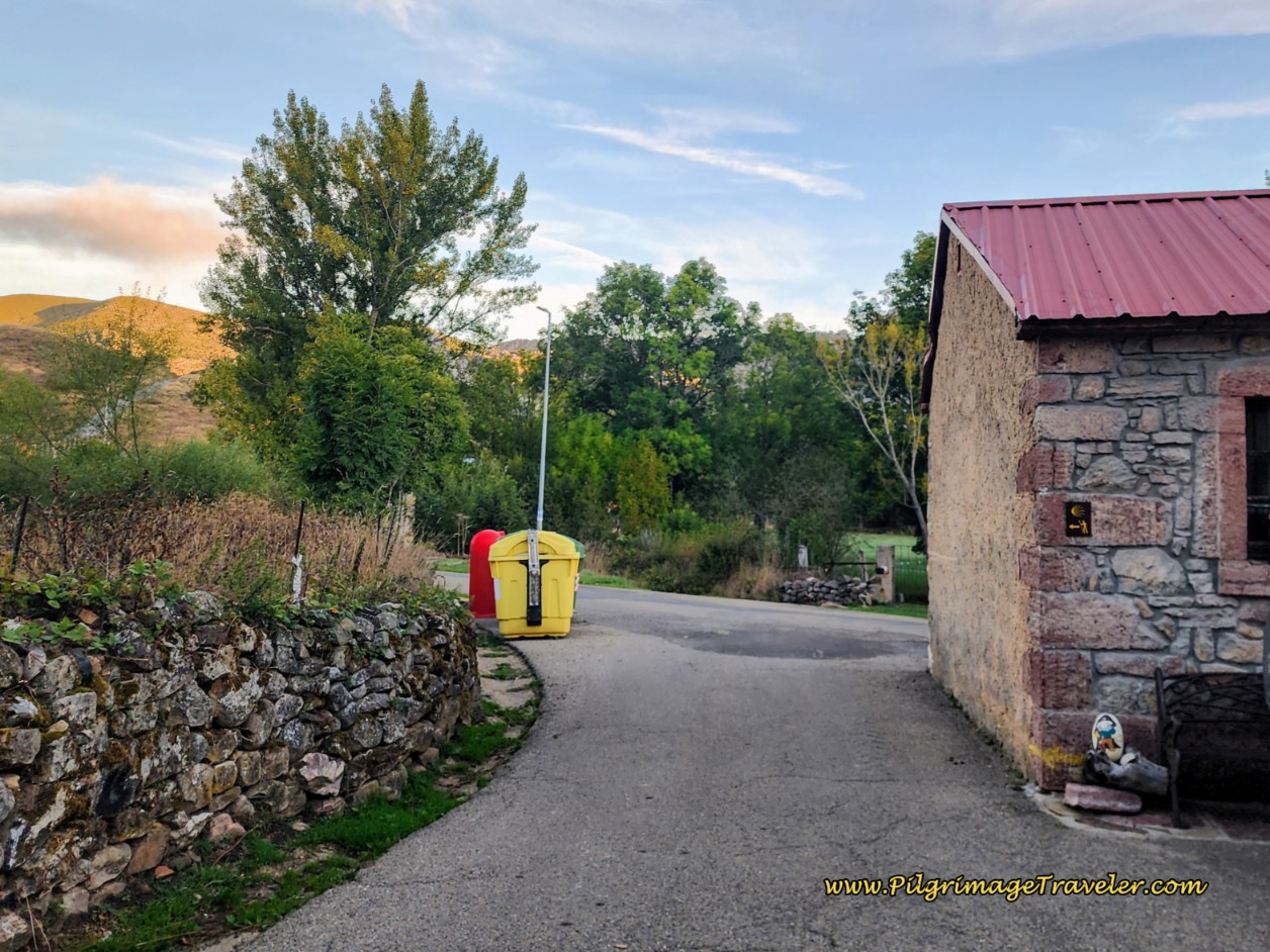 Leaving Poladura at Daybreak
Walking east from the albergue, at the end of the street, and past the small building shown in the photo above, turn left. A few meters later, cross the Río Rodiezmo on a bright yellow bridge and then an immediate right onto this lovely dirt trail, shown below.
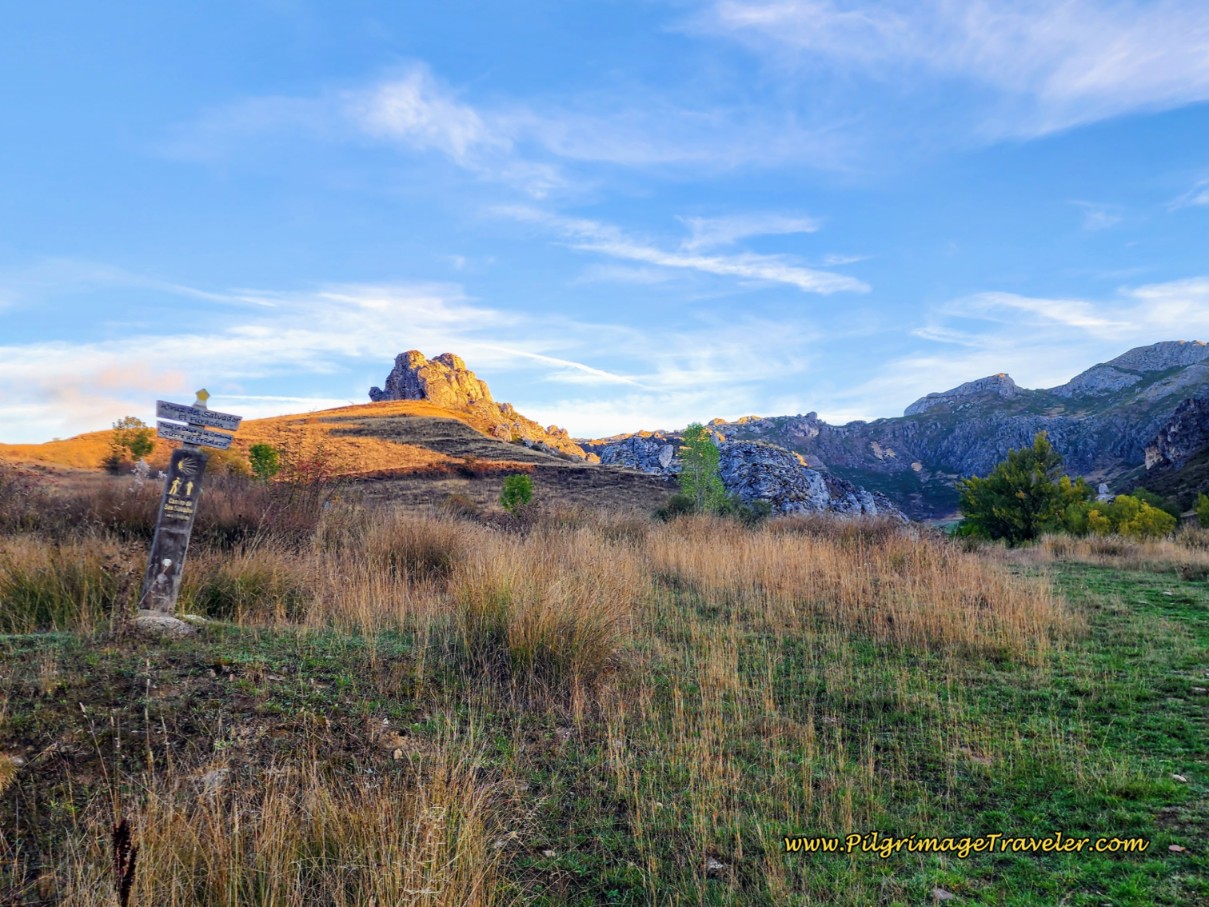 Immediate Right Turn Onto Dirt Trail Heading Northward
Or, you could stay on the road a few meters longer and take the gravel road to the right, which joins the tractor track about 200 meters later. This is less rough than the trail. See the map above.
The sign above the waymark in the photo above, points the way to the Cruz del Salvador, the Furacón pass after the cross, the two peaks called La Calva and La Carbona, on your right at the pass, and the entire range called the Sierra de Peñalaza also on your right side as you climb.
Your day in the splendor of the Cantabrian mountains has just begun! The morning at this elevation in late September, was cool and crisp and we were to enjoy a fabulous sunrise.
I tried to study other blogs and maps to get the names of the mountain ranges correct, however, it is possible that I failed to get it right. If I need a correction, please contact me and let me know! I primarily give credit to Ray y Rosa and Xurde Morán. Thank-you!
As you gain in elevation, the mountain ranges loom above you from all sides. The trail merges with a wider tractor track within a few hundred meters. Here, on these tracks we are approaching the Picos de Las Golpejeras.
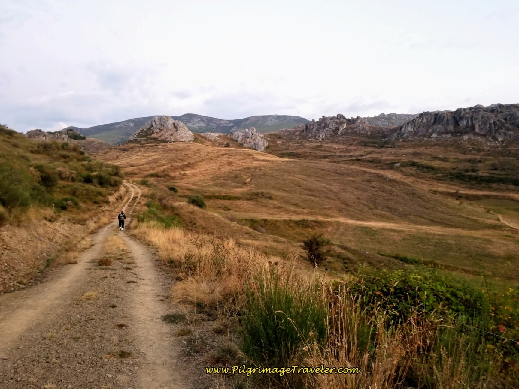 Rocky Crags of the Picos de Las Golpejeras
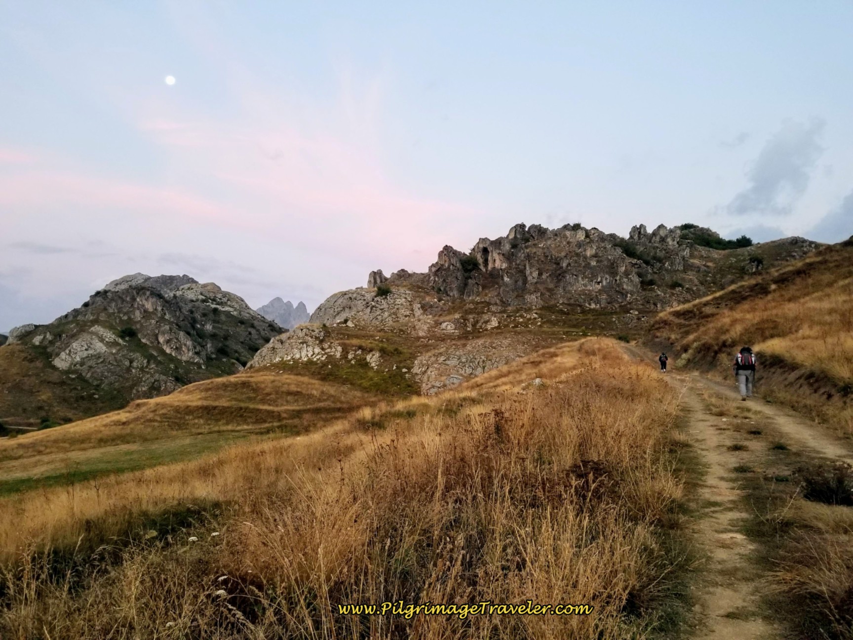
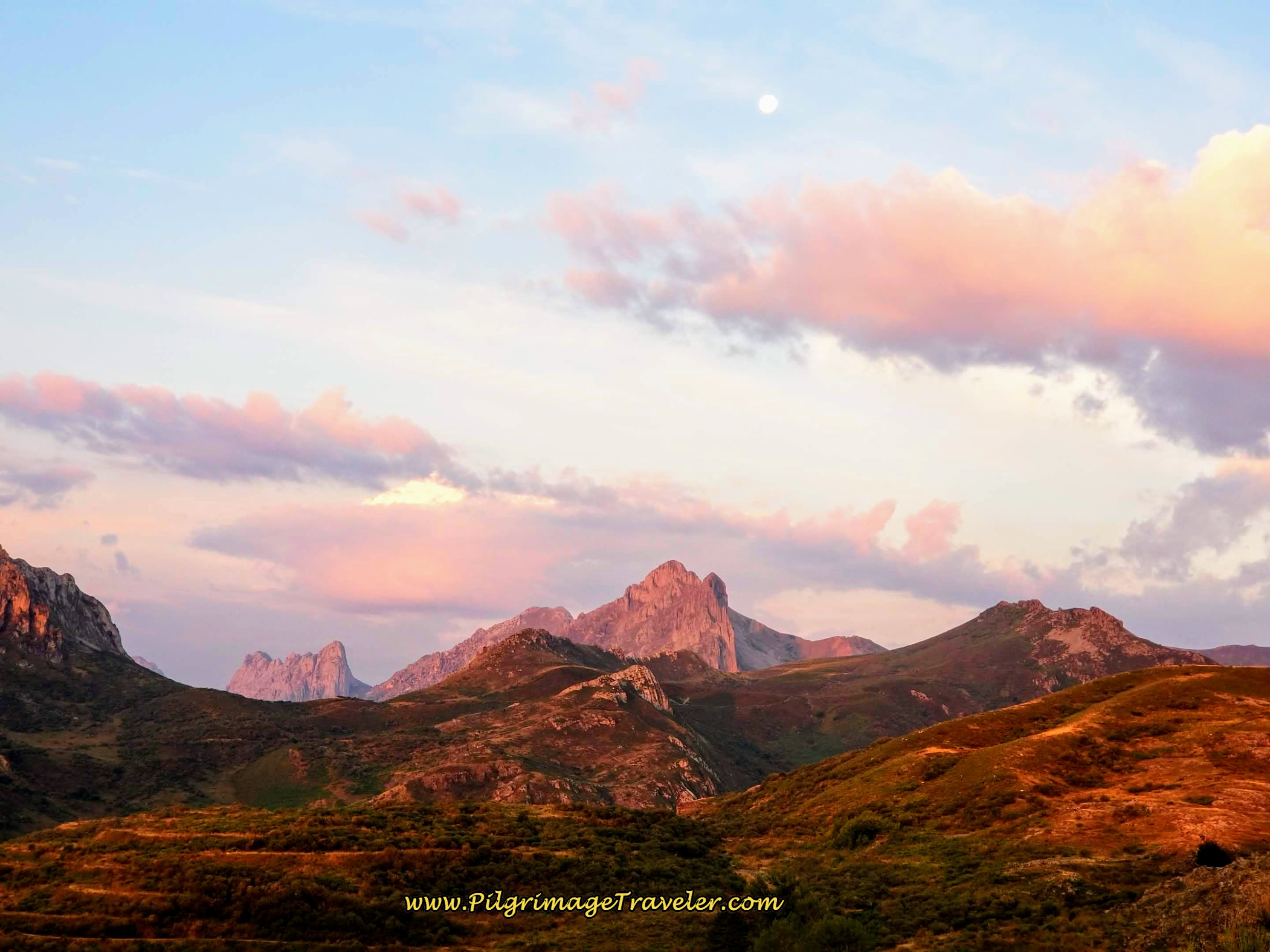
On the way as we climbed higher, we were treated with a gorgeous sunrise, accompanied by a full moon. Wow! We couldn't have planned it better!
Eventually, as you continue straight onward, the tractor track slowly peters out into a single track.
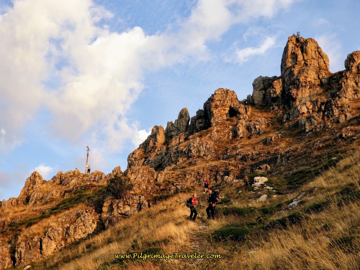
Our first destination landmark is the Cruz de San Salvador (Cross of the Savior) on the high point called the Alto de Los Romeros (High Point of the Pilgrims).
It is ahead in the crags shown in the photo above. If you know what you are looking for and where to look, you can spot the cross from very far away, see the photo, below. The cross, barely discernible, is the white line, and is in the shadow on the ridge to the right of the yellow arrow. If you pinch open the photo, you can see it. (I took most of the following photos the second time through here, when the sun was much higher and brighter.)
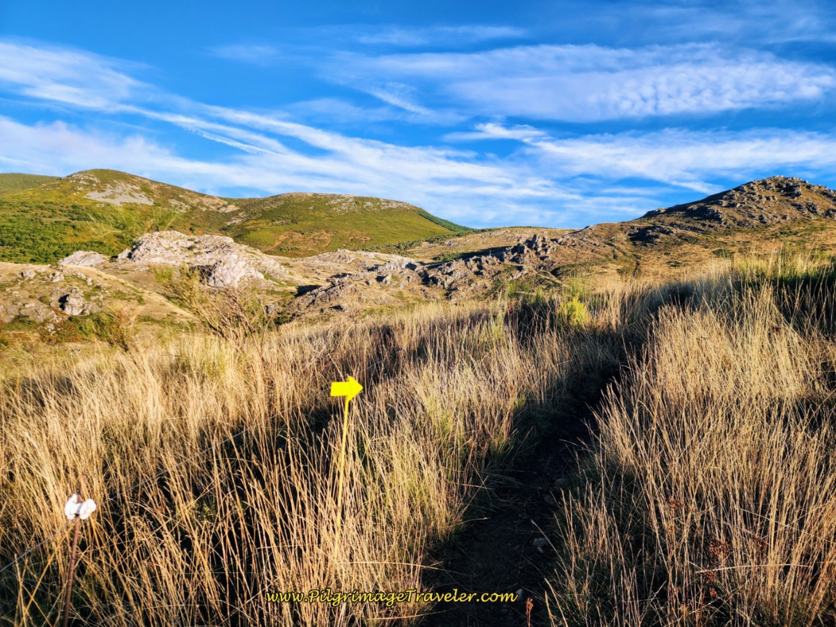 First Glimpse of the Cruz de San Salvador
The trail continues to ascend, and crosses a meadow, pictured in the next photos. You can see there are frequent metal waymarks, yellow arrows and yellow shells.
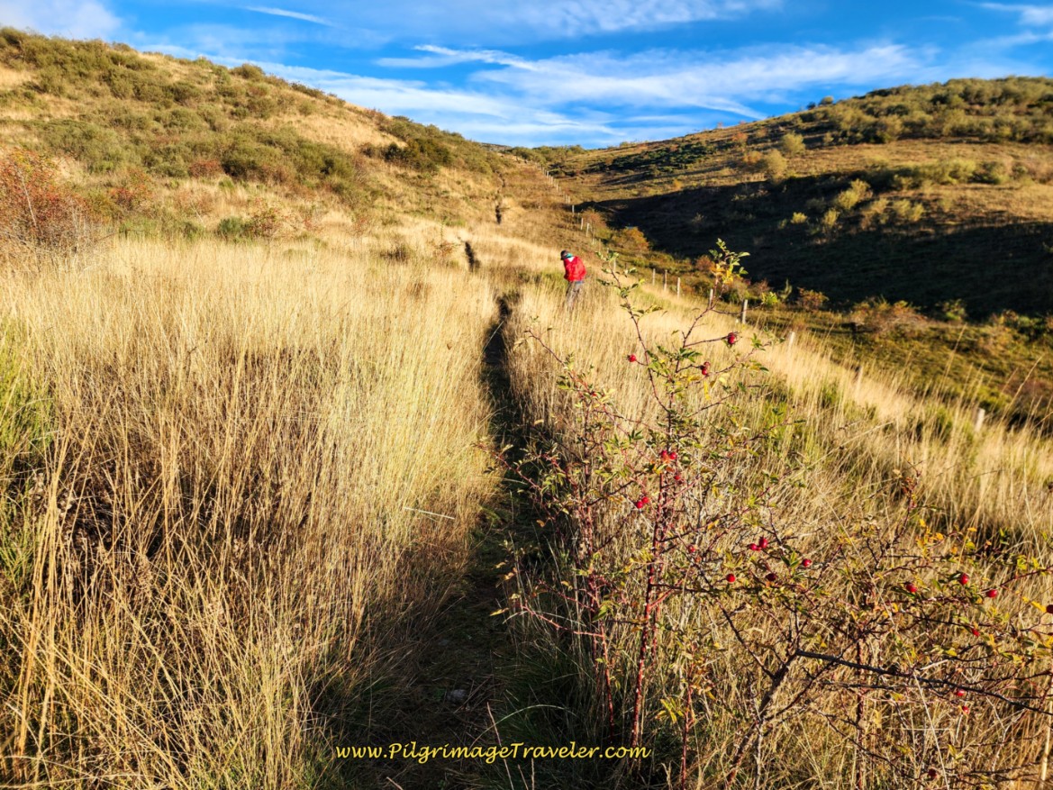 Cross High Meadow
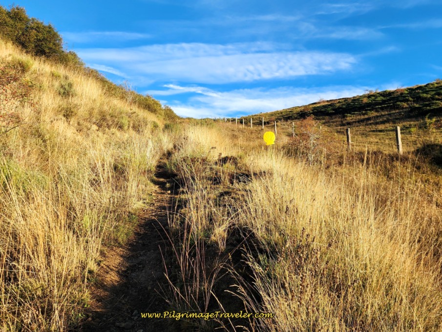 Climbing Higher in the Meadow
Below is a sunrise photo I took the first time through, to the East, when the orange glow was superb.
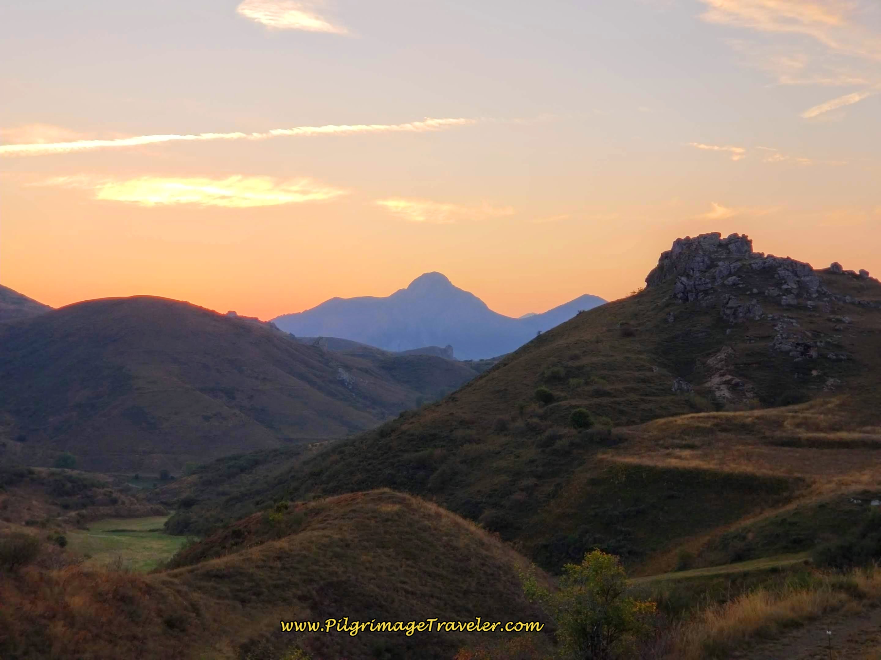 Eastern View Toward Rising Sun
And this next photo is the amazing view to the West, over the Sierra de Las Cangas. The full moon was perfectly setting for the sunrise. What an amazing time to be in the mountains on day three of the Camino de San Salvador! We were amazingly lucky.
You can clearly see the way ahead in this next photo, with the diagonal cut ascending across the ridge. The Cruz de San Salvador, is barely discernible among the rocky crags in the photo below, but clearly visible to the naked eye by this point.
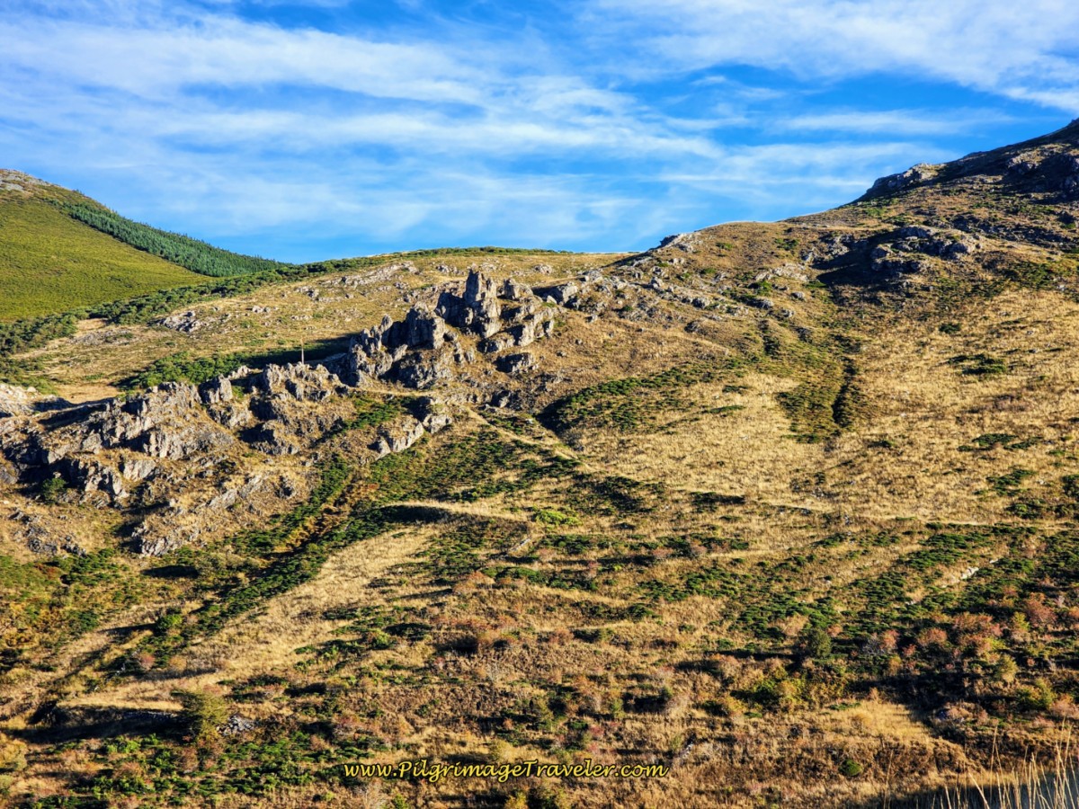 The Trail Cuts Across the Ridge to the Cross
After rounding a stong bend to the left, the way ahead to the cross in the crags is clear.
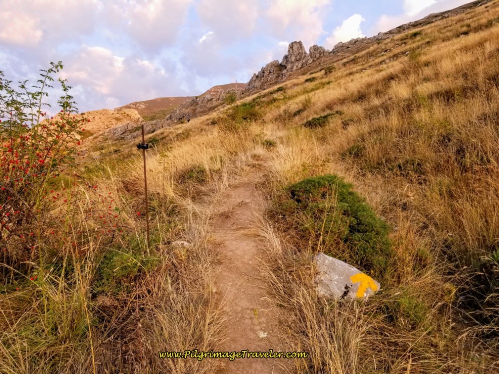 Electric Cattle Guard and Painted Yellow Arrow on Rock
Here is our first photo where the cross is clearly visible.
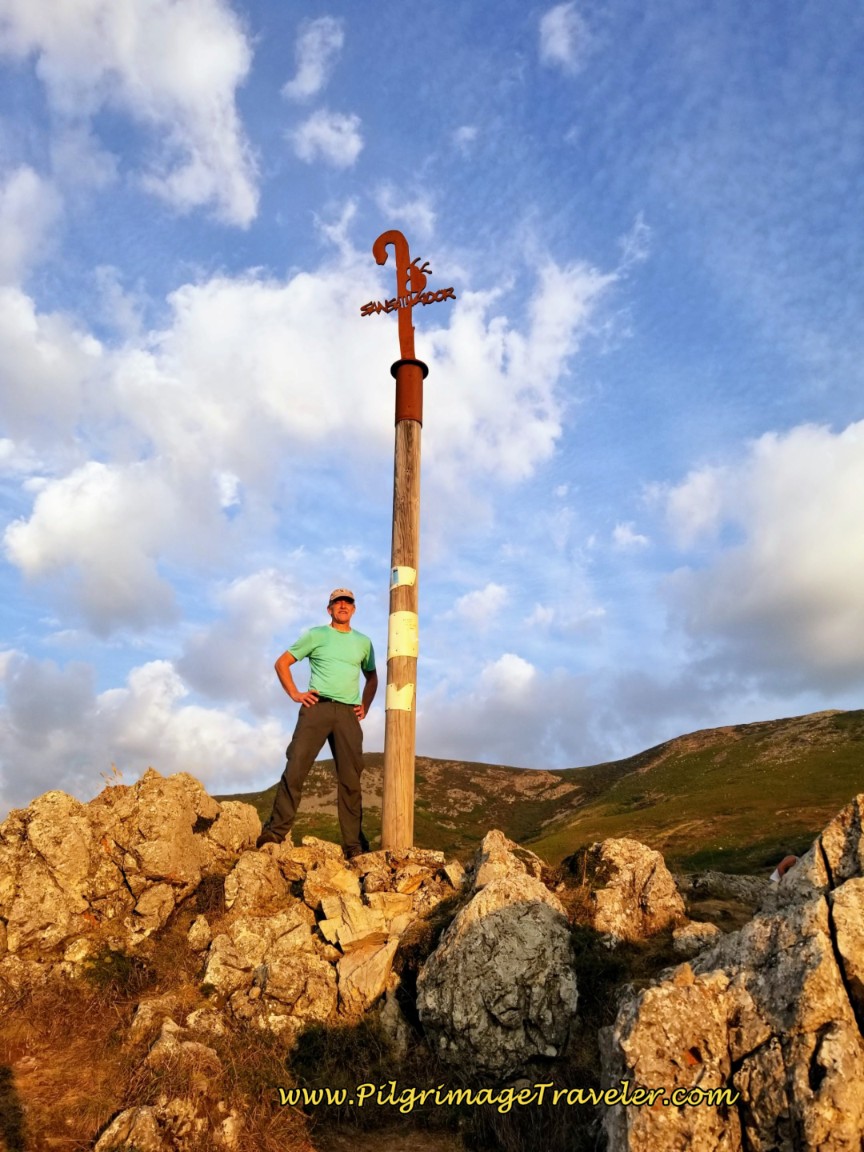
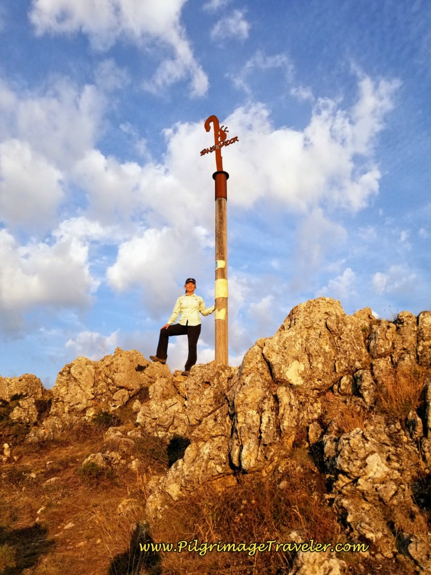
After 2.65 kilometers come to the Alto de los Romeros and the Cruz de San Salvador at last. The elevation is 1456 meters (4777 feet). It took us almost one full hour to reach here, with the climbing, the frequent stops for all my photos and hanging out by the cross for a while! The views are glorious all around!
The early morning sun had finally broken through and lit us up, just for the cross photos!
Jump to Camino de San Salvador Stages
Continue climbing after the cross, at a steep pitch, across this meadow to the next landmark, the Canto la Tusa, the name of the first top.
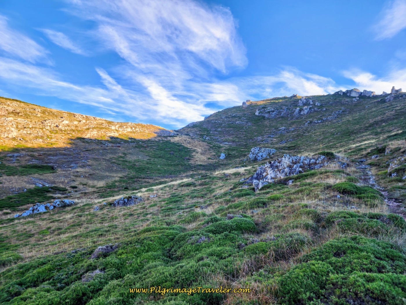 Toward the Top ~ The Canto la Tusa
I took this photo, below, looking back toward the way we had come, near the top. It is one of my favorite photos of the entire San Salvador and is the photo on the cover of my digital book!
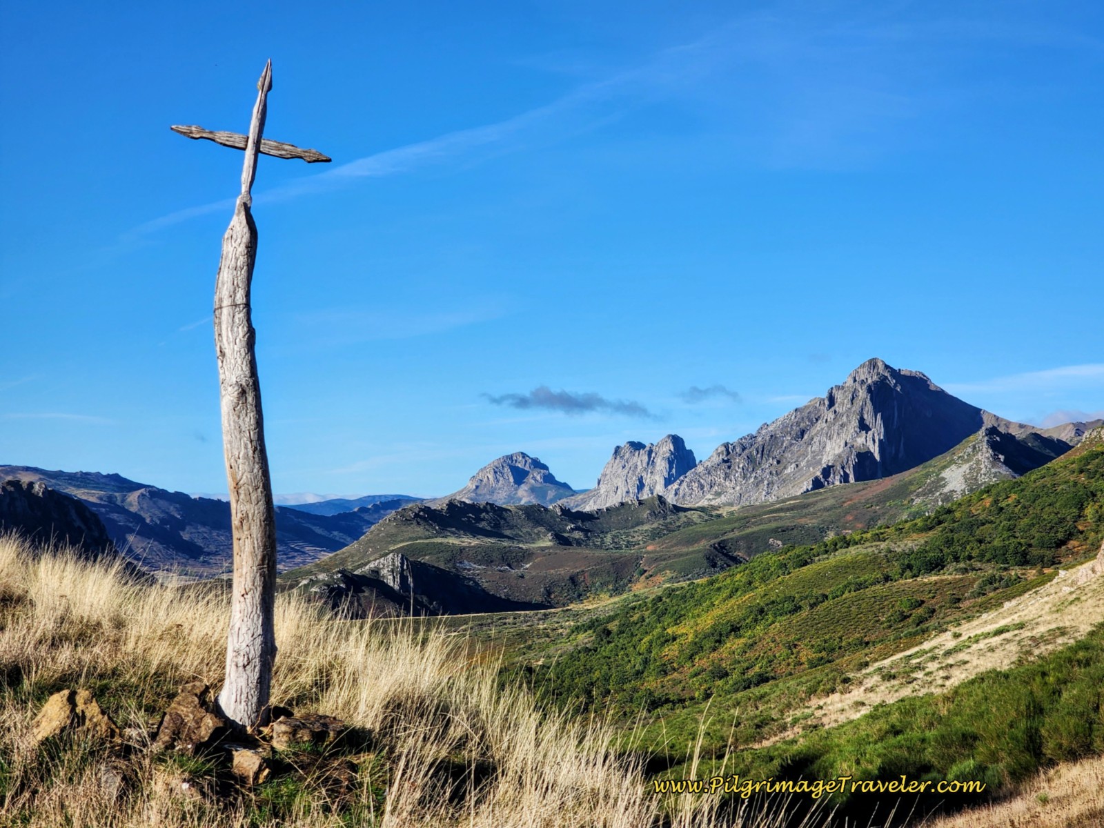
After about 3.4 kilometers into day three, along the Camino de San Salvador, arrive at this small cross, shown below, at an obvious top, the Canto la Tusa. My GPS recorded the height of 1569 meters (5148 feet), but I have seen various figures within 10 meters of my recording. This photo was taken, looking back the way you came, a few meters up from the trail.
From the other side, the Camino descends very steeply! Begin your descent off the top, first going through a turnstile, then onto a wide trail, below, with the massives of the Sierra de Peñalaza on your right and the town of Busdongo de Arbás in the valley floor below. This town is not your destination.
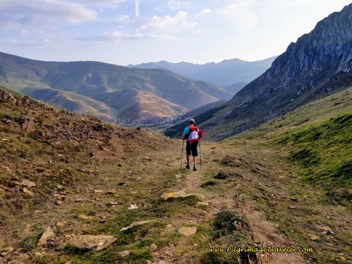 Rich Negotiating the Steep Descent From the Canto la Tusa
In this photo, below, a bit farther down from the top, you can see the Sierra del Cuchillo mountains in the distance, with the Camino visible all the way to the second top, the Vista Arbás, our next landmark. In Spanish, “cuchillo” means knife. Appropriate, don’t you think?
The slope down from the top of the Canto la Tusa is very steep and that wide trail you see in the photo above becomes a myriad of fainter trails, carved into the side of the mountain by cattle. These trails are extremely roughed up by the cattle, deeply pitted and if at all wet, becomes a sloppy, muddy and slick mess!
You can also see in the photo below, the brown horizontal line just below you, that is the general direction of the “trail.” You can only pick your way down as best as you can, on the most prominent one, on a descending traverse across the slope.
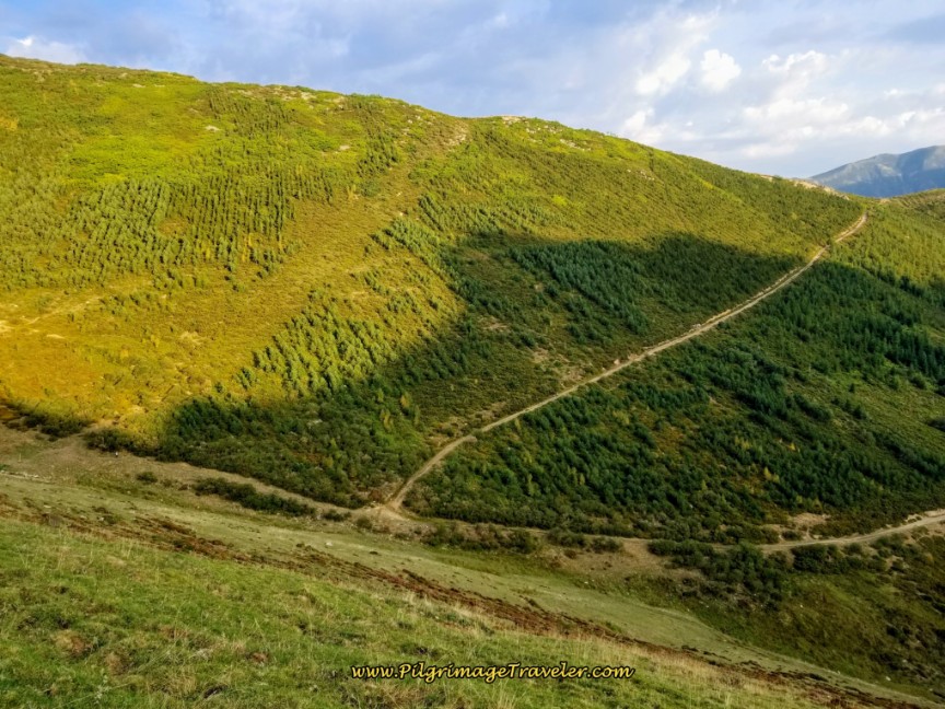 Second Top Ahead, the Vista Arbás
Once at the bottom of the ridge from the Canto la Tusa top, the trail takes a strong bend to the right, and after about 100 meters joins a wider road. Turn left and up the steep hill onto this road, shown below.
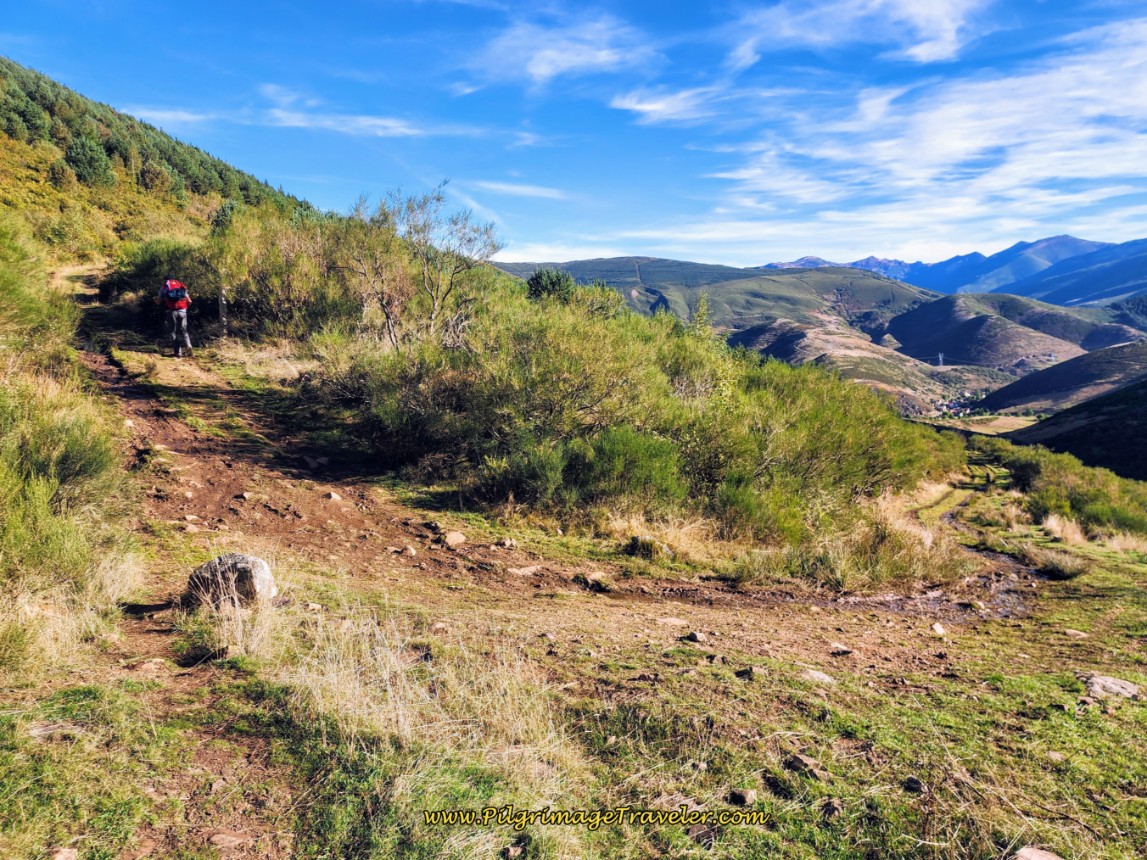 Climbing El Cuchillo
The way to the Vista Arbás is steep, loose and rocky. I was glad it was dry when we negotiated it. Weather would only add to the difficulty and require more time to climb it.
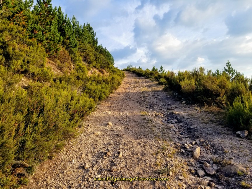 Halfway to the Top on El Cuchillo
Almost at the second top, below, if you turn around you can see the Sierra de Peñalaza in the background, and the summit of the Canto la Tusa in the saddle behind you. It looks really far away doesn't it? It is only about 1.3 kilometers! And you can see how steep the side of that mountain that you just descended really is from a new perspective!
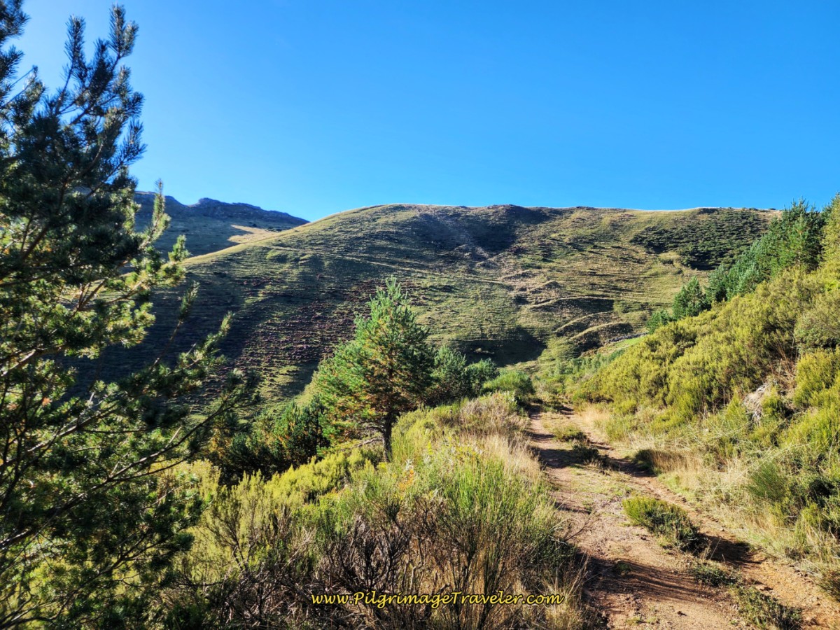 Canto la Tusa in the Background Near Second Top
After about 4.8 kilometers, come to the second top, called the Vista Arbás at 1564 meters (5131 feet), shown in the next photo, below. Pause here and admire the views that surround you.
You can see the mountains behind you that you have just crossed. You can also see power lines ahead in the valley below and toward the next town of Arbás del Puerto.
You can also make out the historic Colegiata de Santa María de Arbás in the valley ahead in Arbás del Puerto, in the photo below, after you descend the other side a few more meters. See close-up photos of this church just below. And if you look closely to the mountains to the left, you may be able to make out the ski lifts of the Valgrande-Pajares ski resort.
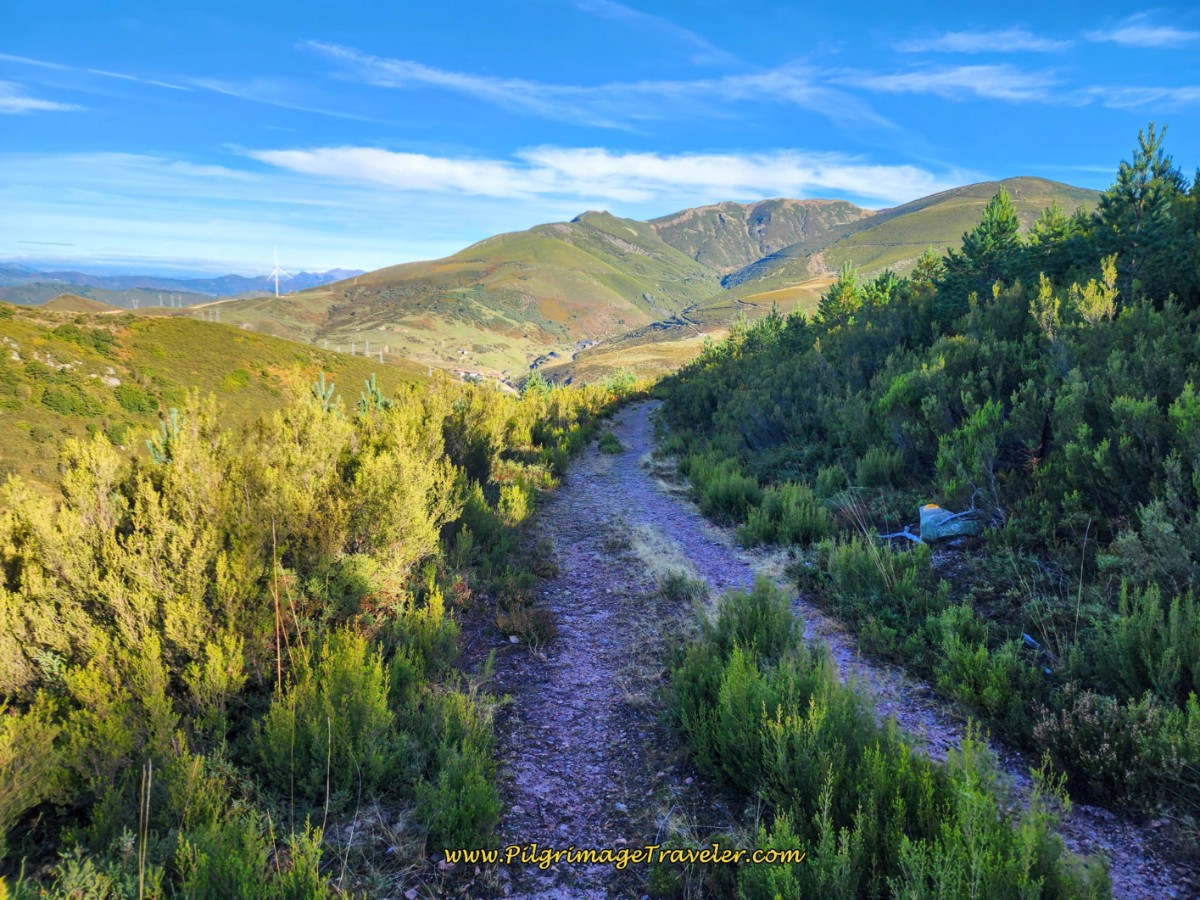 View from the Top
The trail is well marked here. Follow the trail from the top, straight on, staying to the right at any intersection. From the top walk along the road, shown above, another 650 meters and come to this waymark off to the left of the road, where you must turn onto a trail to the left, shown in the photo below.
I was confused here at first, because there is an electric fence impeding the turn to the left! Then Rich came along and within a second or two, figured out that you had to unclip the wire at the top and step over the lower wire to walk over the fence line! Yikes! I was uncomfortable doing this, but did so anyway, to continue the strong descent ahead.
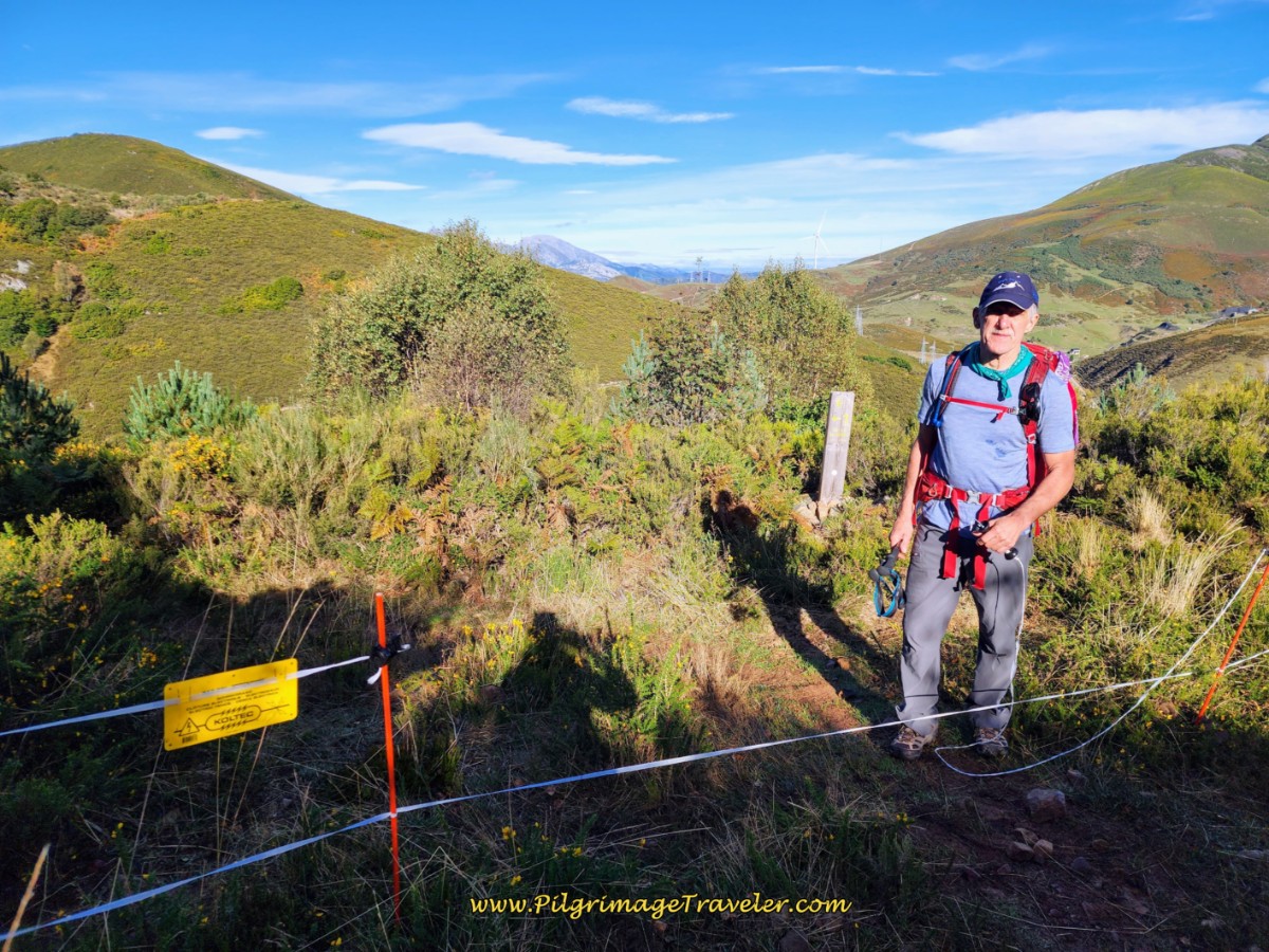 Waymark Shows Turn Across Fenceline
Come to another gate in a few more meters. We caught up to an Australian bloke here.
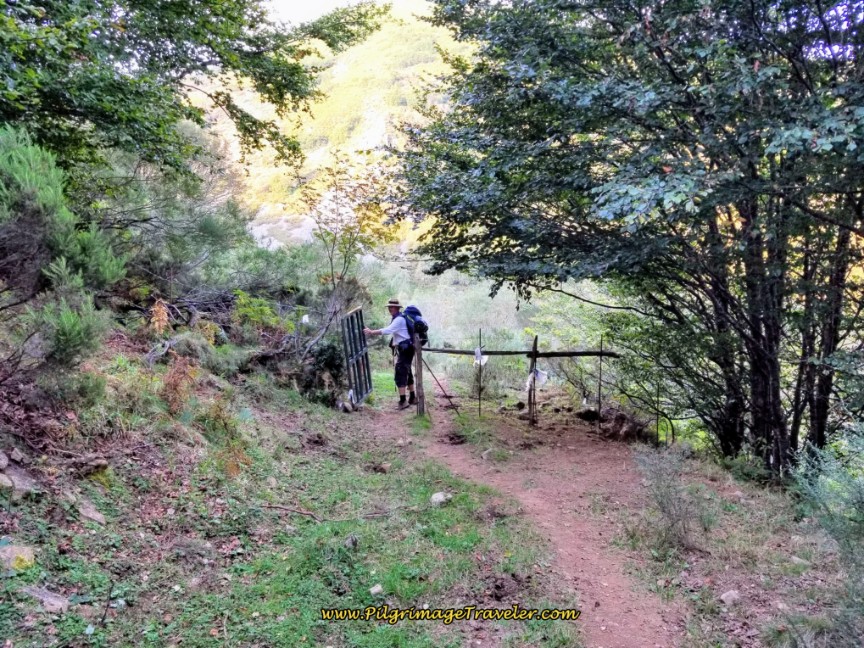 Walk Through Gate
When you come off the top, the way is quite loose and gravely, a bit tricky to negotiate. As you walk along, the views of the ridge to your right, are open and give you a preview of the Camino to come. Yes, that is the Way, that you can see in the photo, below.
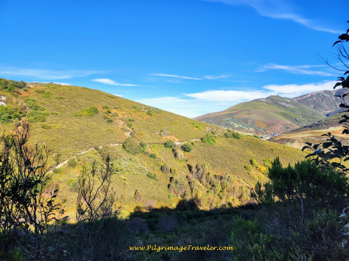 The Camino Ahead on the Ridge of El Cuchillo
After another 150 meters of descent, come to a T-intersection, and follow the waymark to the right. There were many Autumn Crocuses blooming here!
After about 5.8 kilometers total, come to a stream (arroyo), which ends the descent for now.
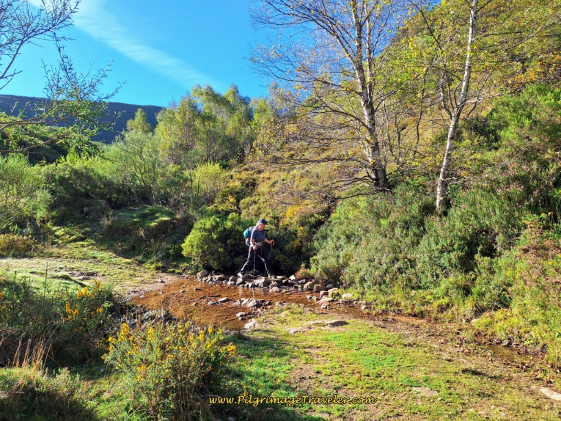 Drop to an Arroyo
Start another small climb after the stream. Continue on the roadway, straight on, following the well marked path. When you reach the top of this small climb, 400 meters later, you can see closer views of Arbás del Puerto and the historic church.
You can see the water was flowing through here, below, actually both times we walked, as I imagine it does for most of the year.
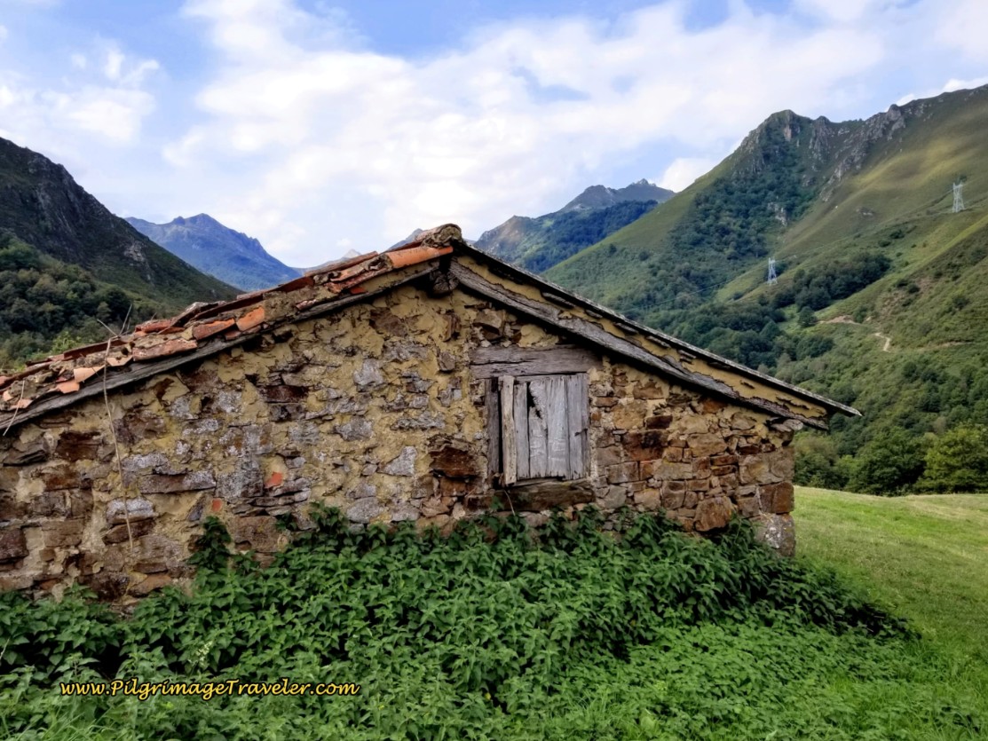
Our next destination is the stone buildings ahead.
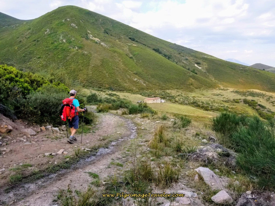 Las Caballetas Mountains on Day Three of the Camino San Salvador
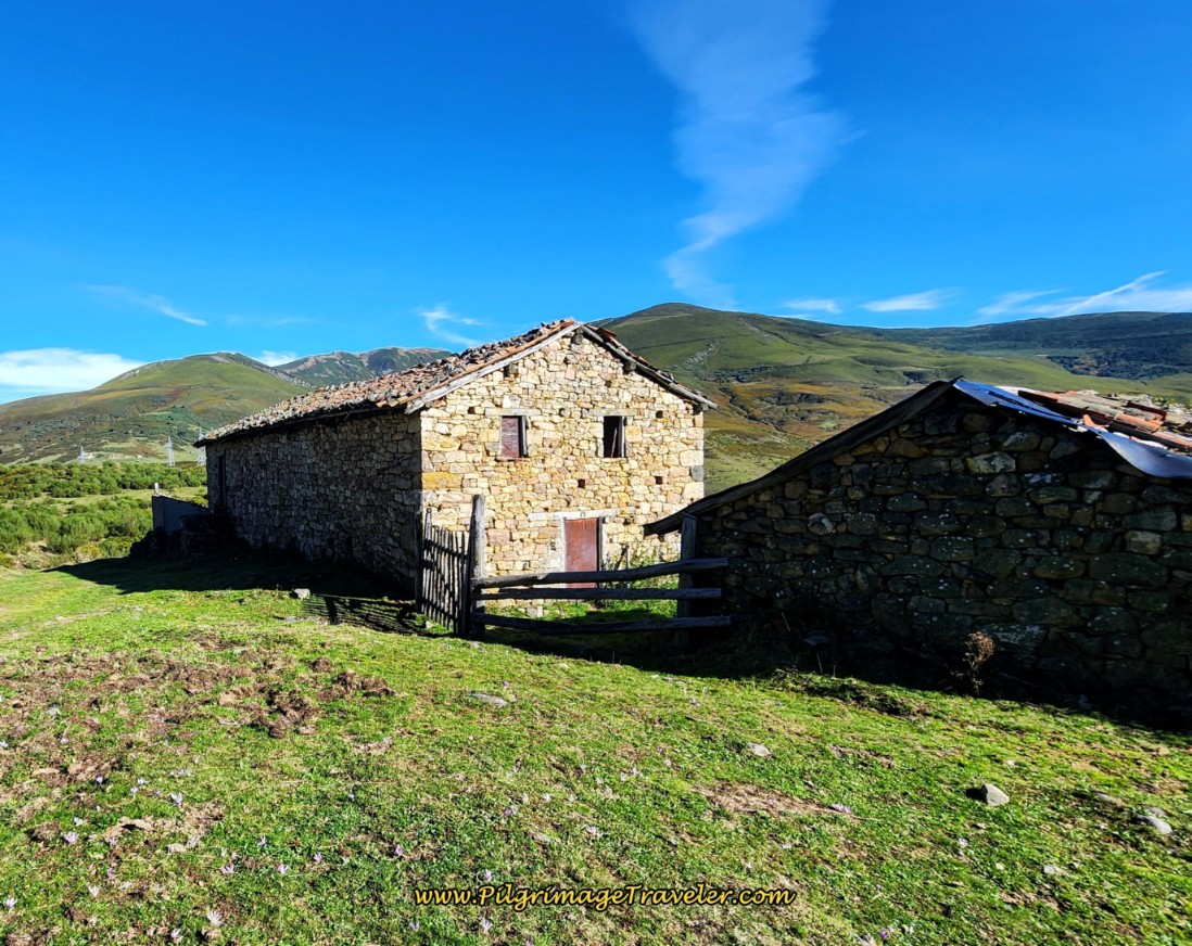
These lovely old stone buildings are right before the next stream crossing of Las Caballetas, the name of the arroyo and the mountains behind it.
Only 200 meters after the stone buildings, come to this juncture in the valley, shown immediately below. We almost missed the signpost for the high path, shown in following photo. We continued to stay to the left of the signpost and walked down the open tractor tracks, by mistake. This intersection is after about 6.8 kilometers.
You could stay left on these tractor tracks for a shortcut to the N-630, which the Camino eventually joins anyway. However, you will miss the wonderful and historic Colegiata de Santa María de Arbás if you take this shortcut. See the red shortcut on the map above. However, this is most certainly the easier path!
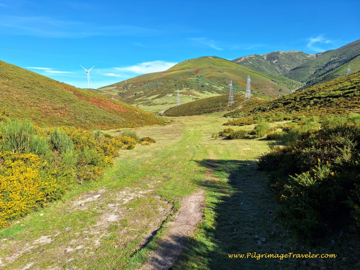 The Valley Towards the N-630 ~ A Shortcut, But the Wrong Way
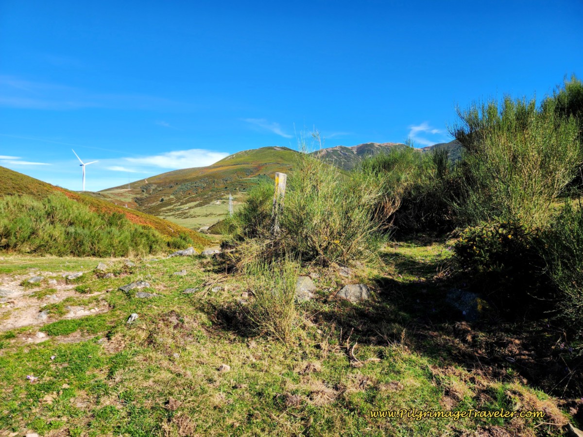
As you can see, below, the wooden waymark signaling the turn to the right is almost entirely covered in the brush. Even in the past, when it wasn’t covered up it was easy to miss! After I hadn't seen a recent waymark, we double-backed and found the turn, fortunately! Look hard to your right when you see the open valley ahead (photo above), to find this upper and official trail!
From the high path, you can see the shortcut route, pictured below, on the tractor lanes, all the way to the highway, where the official route eventually joins. The only difficulty is that right before the lane joins the highway, you need to crawl over a wooden rail fence. This shouldn’t be a big problem.
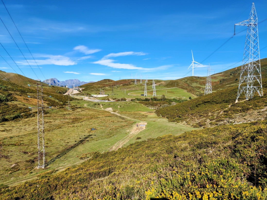 Shortcut Route Visible All the Way to the Highway
Back on the official route, this is one of those sections on day three of the Camino de San Salvador, where the path is better maintained than in the past, and better waymarked. The route becomes scrubby as it stays high on this hillside traversing a ridge.
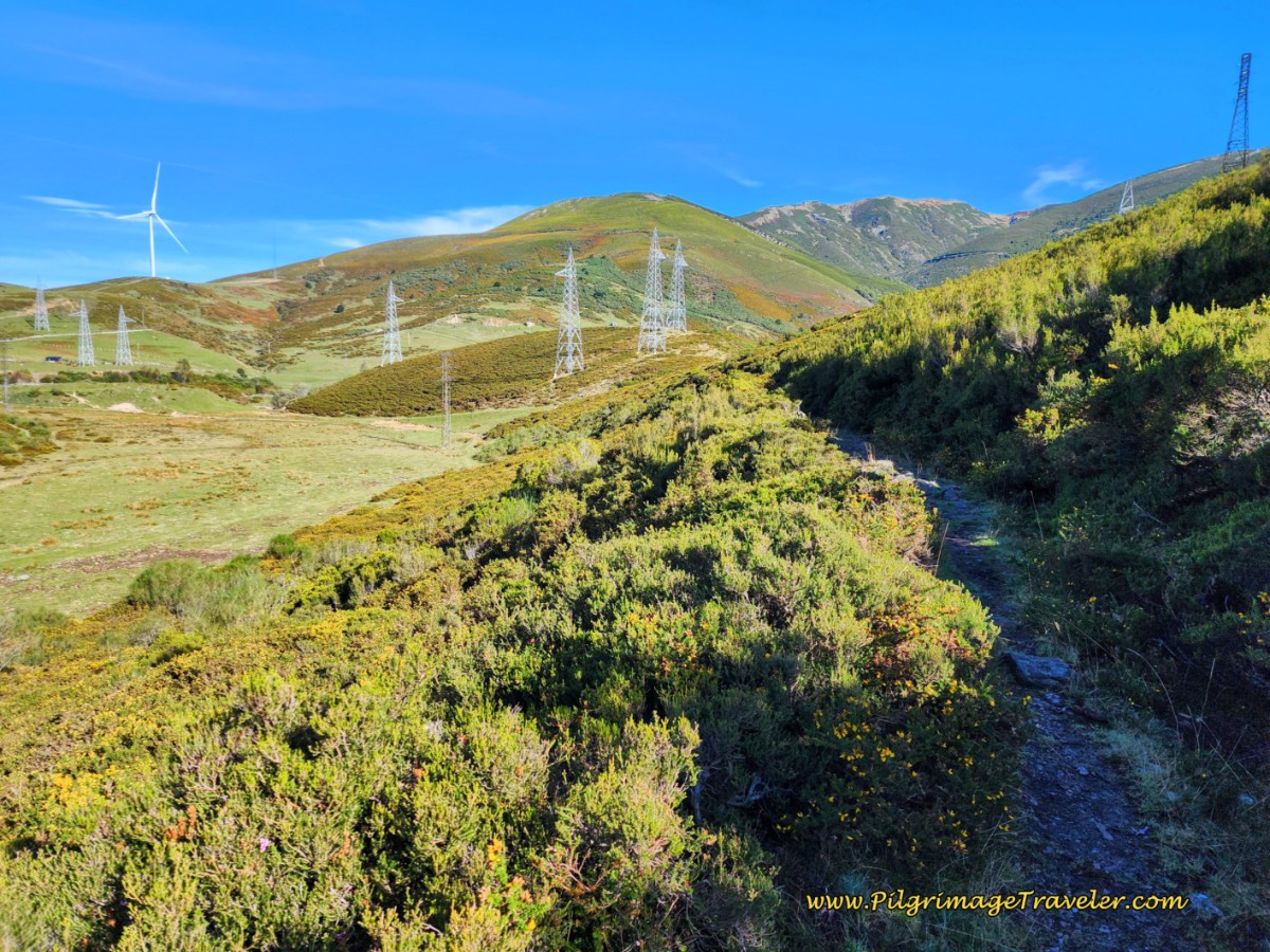 Scrubby High Path Through Pastures
Just before the wide grassy cut shown below, scramble down on a rough, but very short section. You only stay on this grassy stretch a few steps, then come to a yellow shell, where you turn left onto another rough trail. You can faintly see the trail in the photo.
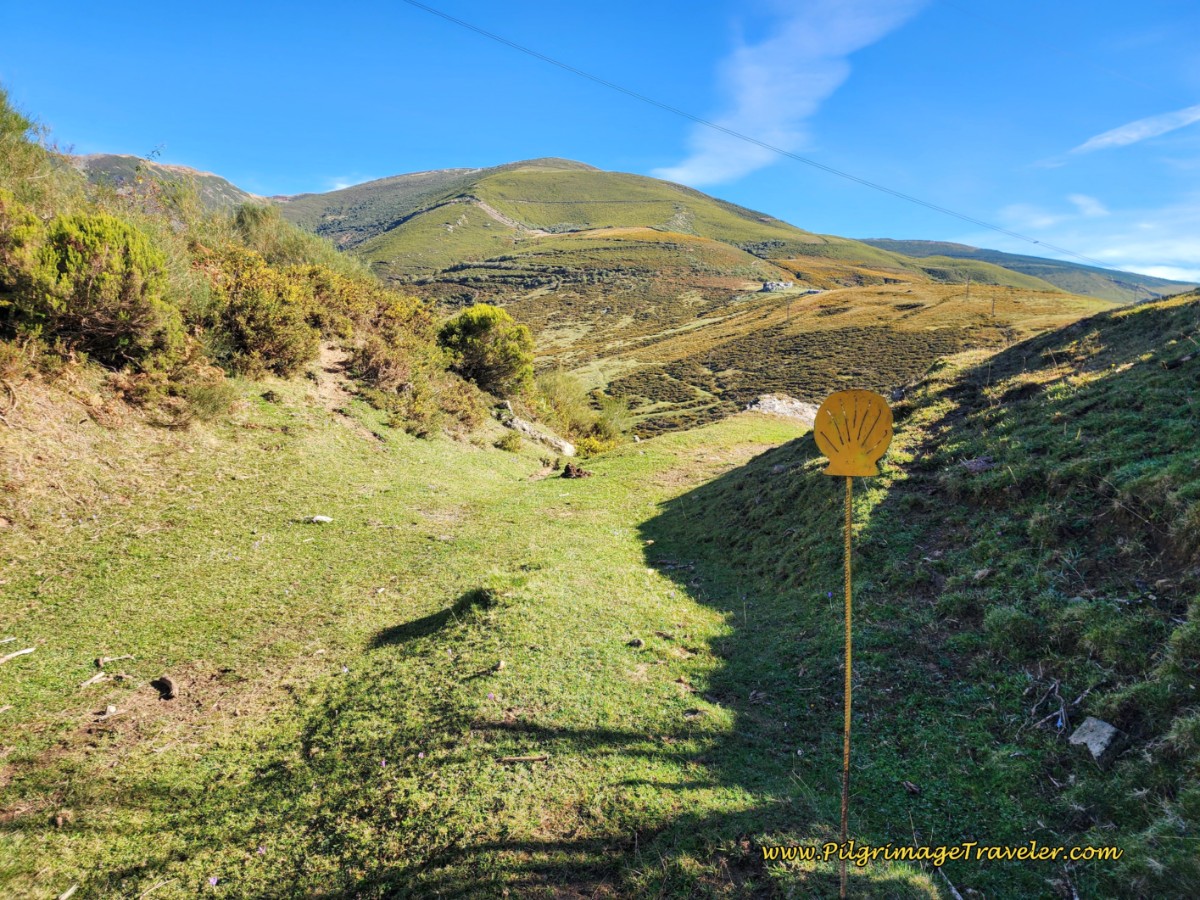 The Path Widens Briefly, Turn Left at Yellow Shell
As you traverse this next ridgeline, again, there are many cow trails, but follow the waymarks and just pick the most prominent one.
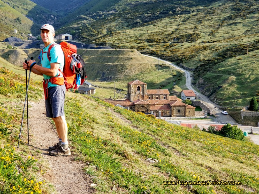
And then suddenly, an old mine comes into view ahead, and then, the Colegiata de Santa María de Arbás, below it. Here is Rich, posing for me at this lovely viewpoint.
Your descent from here to the road, the N-630 is dramatic and steep!
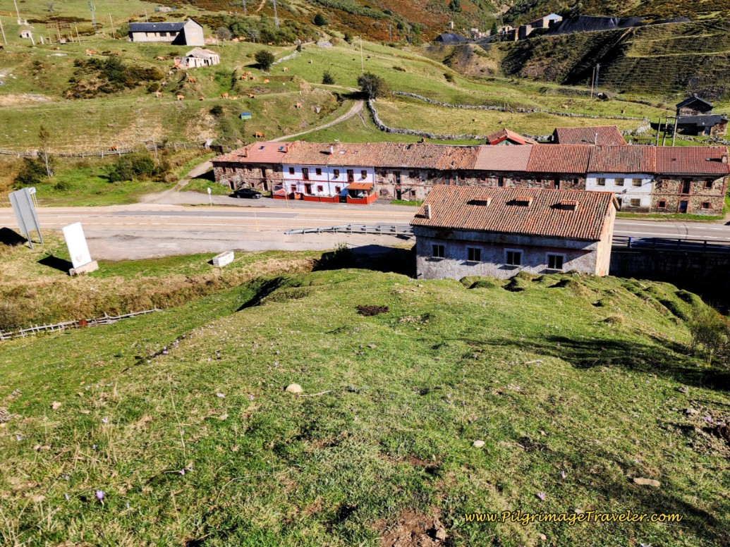 Walk Toward a Farm and the N-630 Below
Coming off the final shoulder toward what may be a farm, pick your way through the cow paths, a choice of multiple ways. Look to the left side of the farm building and shoot for the gate pictured below. There is a yellow arrow painted on the wall of the building, pointing to the left, and a very small faded, painted yellow arrow on the gate itself.
There is another painted arrow on the small concrete side building as well, if you look closely in the photo below. This is the only indication of the turn to the left, onto the highway, that I found, if you are not planning to go to the Colegiata.
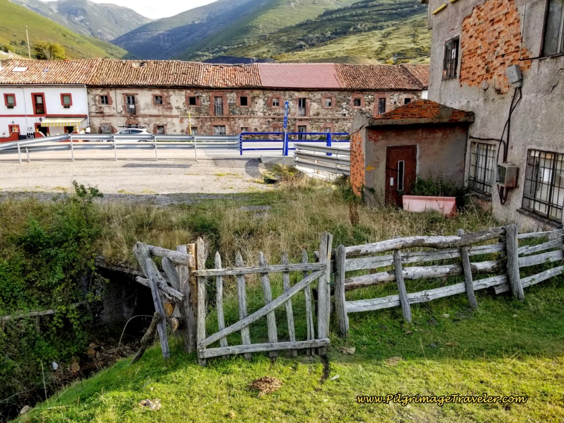 Find the Gate to the Left of the Farm Building
After about 7.52 kilometers, on day three of the Camino del Salvador, join the N-630 in the town of Arbás del Puerto. Just to the right is the fabulous and historic Colegiata de Santa María de Arbás to the east.
We actually saw some of the Spanish peregrinos choose not to go to the historic church, but kept on going. I guess historic churches are not on their priority list!
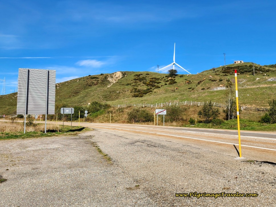 Turn Left Onto the N-630
When you arrive here at the N-630, the Camino goes to the left. I saw no arrows or waymarks here. However, look to your right and see a sign for the Santa María de Arbas historic monument.
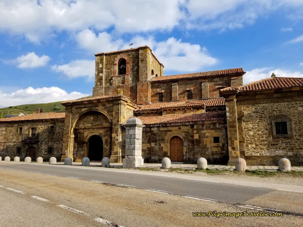
Go to the right and within a few meters you come to the Colegiata, shown below. There is also a fountain here, across the street, if you need to replenish your water supply.
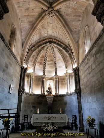
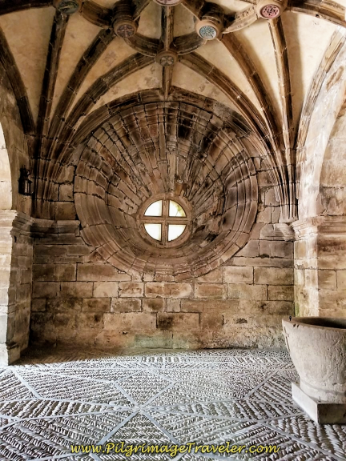
The inside is quite stunning, unique and in my opinion, worth the visit. It was here, in the year 1116 that a local count by the name of Fruela Díaz and his wife, with vast estates, donated land to build a hospital for pilgrims at a spring from the headwaters of the Bernesga River, just before the Puerto de Pajares, the high mountain pass. He chose this location to build because it was especially dangerous for pilgrims to cross over the mountains in Pajares, on their way to the holy relics in Oviedo.
The pilgrim's hospital was also known as the "Casa de los Pobres" or the House of the Poor, since he would take in the poor as well.
Then in 1216, King Alfonso, IX from León ordered that a church be built here beside the lodge. And thus, after years of various additions and renovations, the most recent in 2002, the structure that you see today stands before you. This church was declared a historic monument in 1931.
The rough mosaic stone floors are especially beautiful and the current building is in the Romanesque style of León. There is a large information board outside the church, that is in Spanish, so you may wish to read more about this place on the day before. Click here for information about this historic place.
Jump to Camino de San Salvador Stages
After visiting the Colegiata, return to the N-630, and walk the unpleasant 500 meters on the highway, westward toward the pass, the Puerto de Pajares. Next, pick up the side road to the right, shown in the photo below.
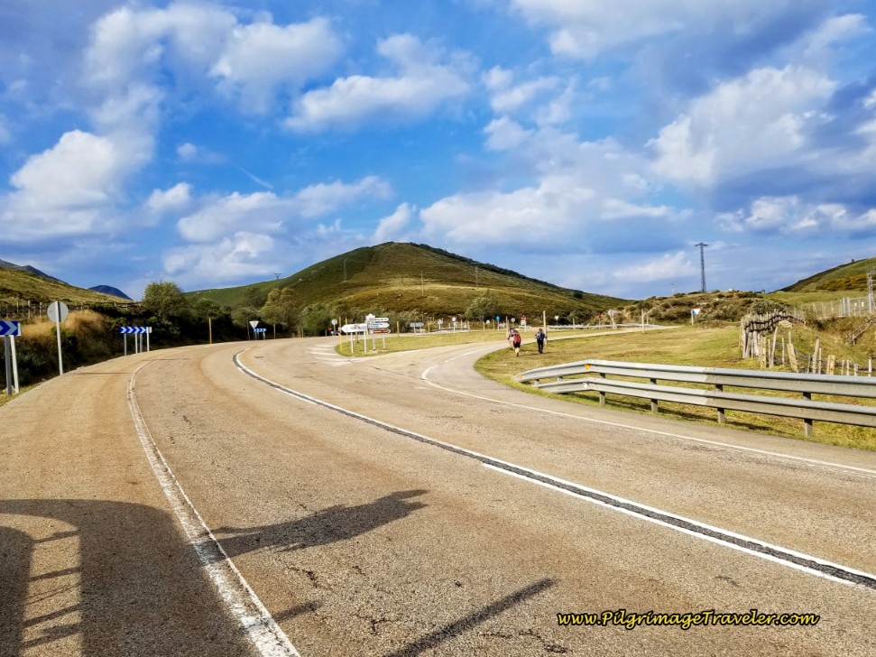 Along the N-630 After Santa María de Arbas
This side road only lasts for about 180 meters, before you join the N-630 once again, but stay on the lane to the right, shown below and join yet another side road.
You can now see the towers of the old Parador de Pajares ahead from here. It has recently opened the Cafetería El Mirador, which has fabulous views if you choose to stop here. Almost everyone does! However, it is closed on Tuesdays.
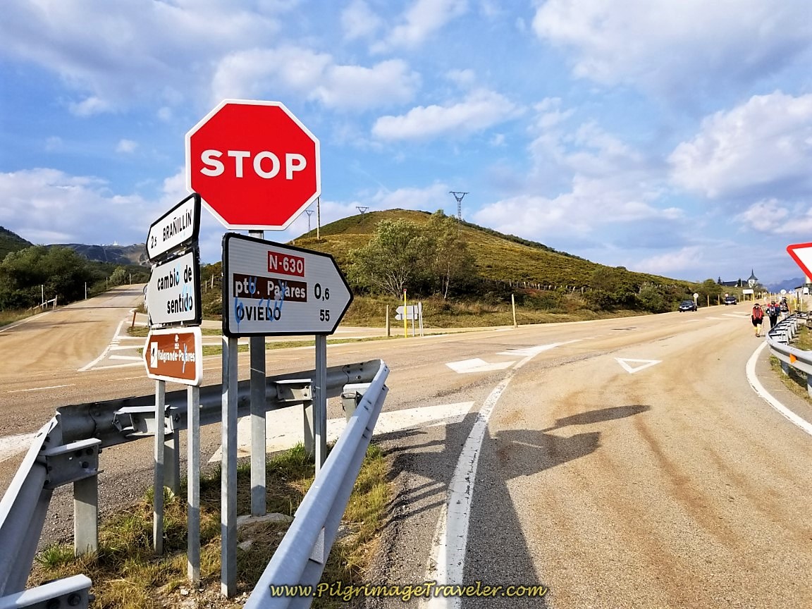 Right Turn Here Towards Puerto de Pajares
After about 8.6 kilometers total, along the side road, come to a fenced, industrial garage. Go to the left of the fenceline as indicated by the yellow arrow on the 80 kilometer/hour sign.
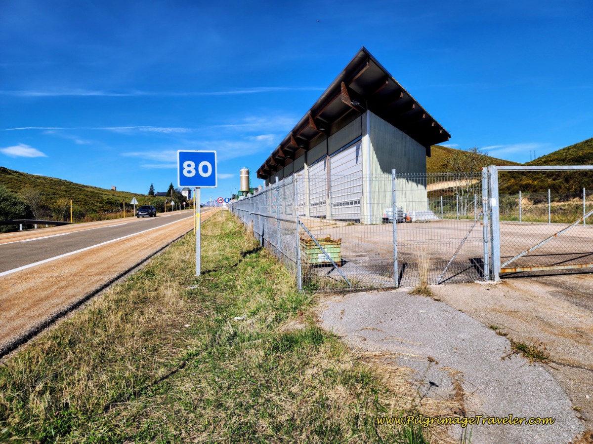 Take Path to the Left at this Fenceline
You must now walk along the N-630, so exercise caution. The parador is straight on along the N-630 another 200 meters. You can see the towers of the Parador Pajares, now looming above you.
Just before the parador, the Camino turns to the right, between buildings, and just after the stone pillar, pictured below.
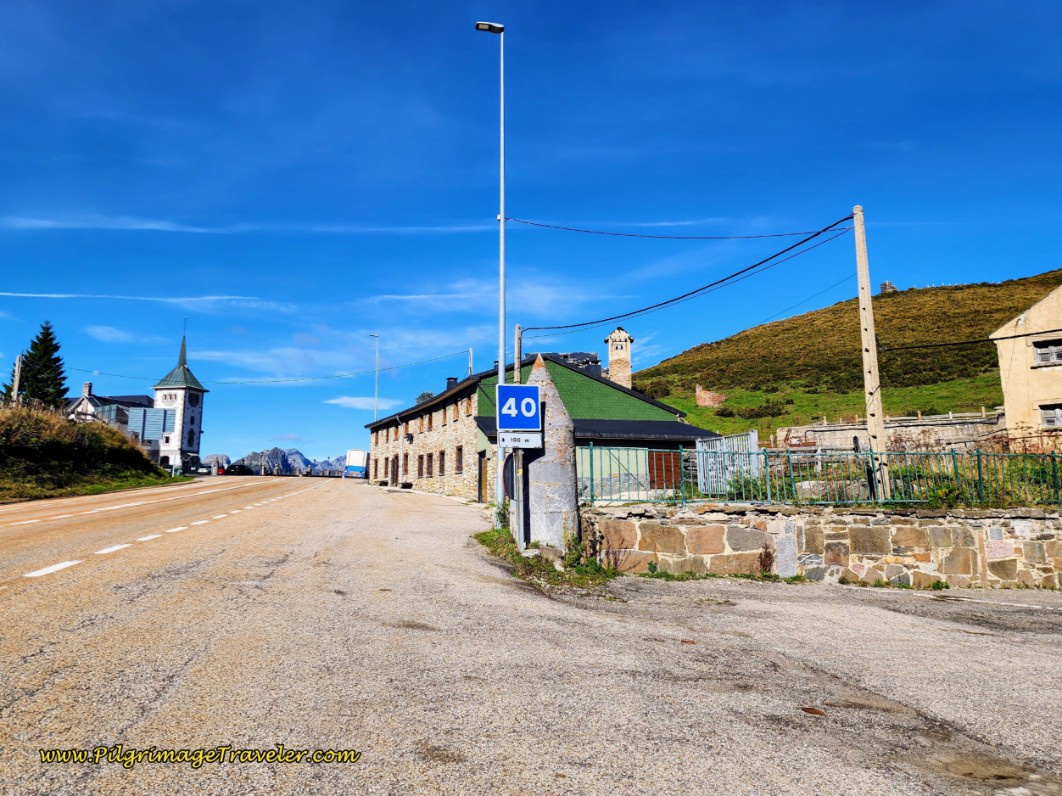 Camino Turns Right After Pillar
And the next photo shows the stunning view from the deck of the Cafetería El Mirador. That dirt track you see at the top of the ridge is the Camino route to San Miguel del Río - a nice preview!
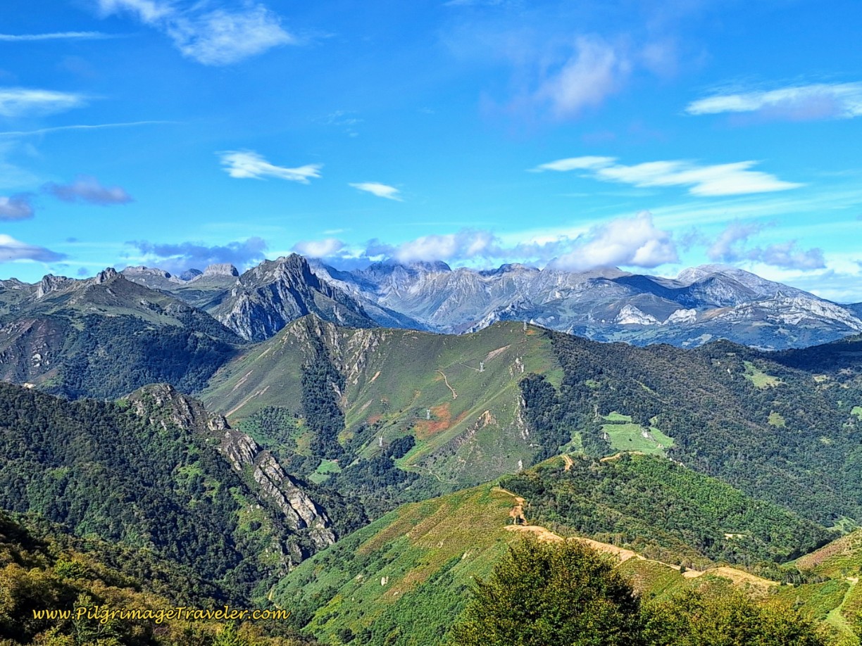 Stunning View from the Cafetería El Mirador
Instead of continuing on the Camino, it actually may be safer and easier to walk the roadway through the Puerto de Pajares if you are walking in rainy, muddy or snowy conditions. Do this only if the conditions are really bad. The road has no shoulder whatsoever, and has sharp curves through this mountain pass. A very dangerous situation for 800 meters!
From the N-630, after the right turn off the highway, take the concrete roadway around a building on your left, and begin climbing on a meadow trail, below.
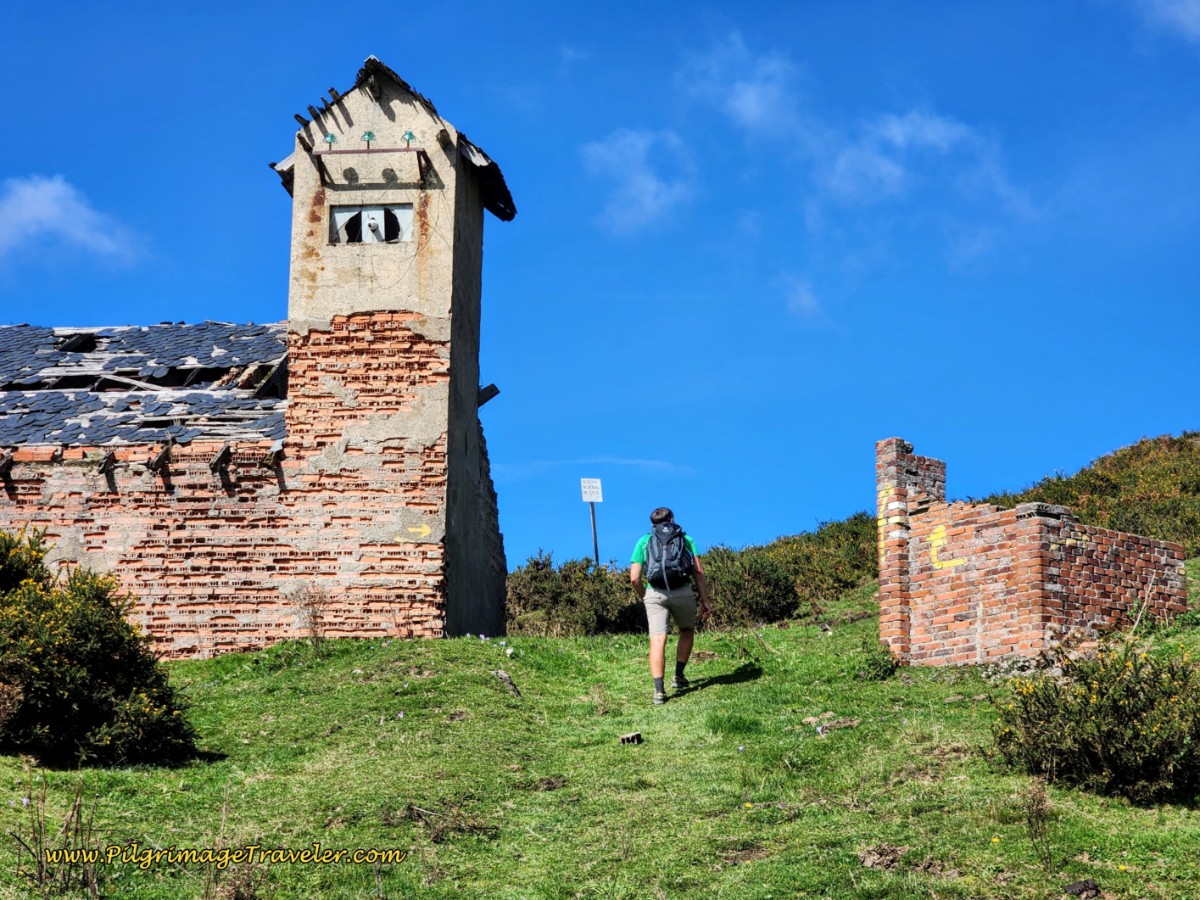 Track Leaving the N-630 Toward Asturias Border
The Way forward is along this high ridge trail that eventually parallels the lower gravel road.
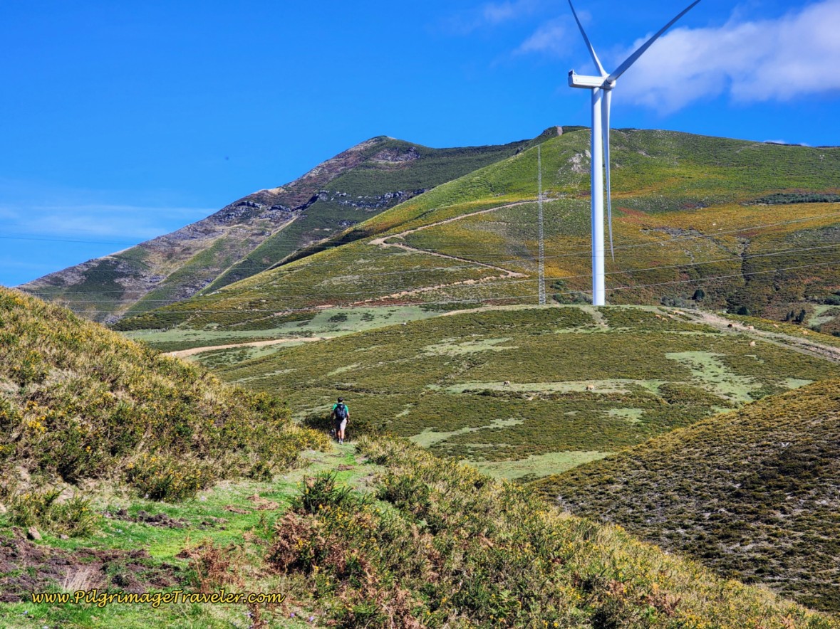 Track Towards Puerto de Pajares
The path you see in the photo below is very close to the edge of the embankment at times and there is a steep drop to the road below - watch your footing!
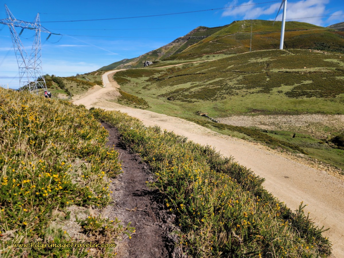 Track Towards Power Line
When you reach the power line tower, after about 400 meters or so from the highway, it will have yellow arrows on it, below.
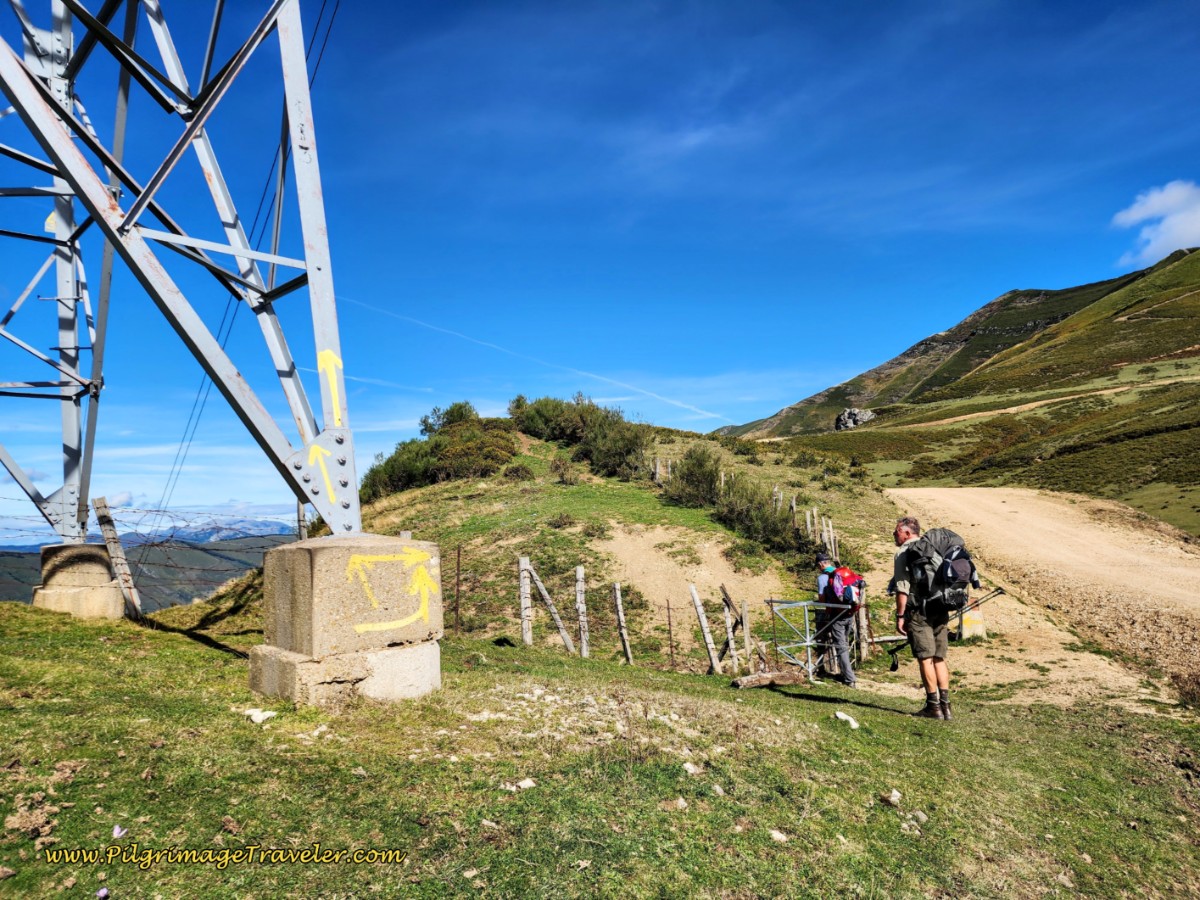 Yellow Arrows on Power Line and Gate
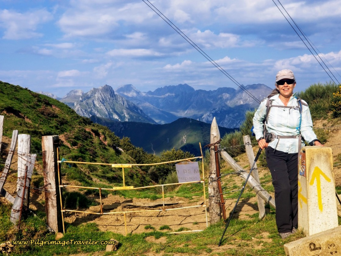
And by the power line tower you will see a turnstile to walk through, the gate pictured below and your very first Asturian concrete waymark. This gate marks the official Castillo y León and Asturias border. Here I am at the gate to Asturias!
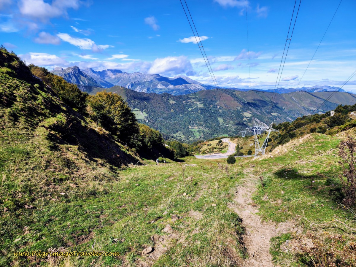
As you look down on the other side from the gate, the next section's vicissitudes become apparent! The way down the Puerto de Pajares is steep! I can't imagine doing this if it were rainy and muddy, or if it was filled with snow. Take your time here!
What an incredible introduction to Asturias!
There is more of a path here than prior years, however that is not saying much! Initially there is a bit of a path as you can see in the photo above, but then it disperses, and you just have to choose a line and pick your way down the slope.
A lot of pilgrims stay to the far left of the grassy area, before joining the N-630 below. We tried to follow the Way to the first mojón that we could see ahead at the bush on the right, see photo below. Interestingly, while the arrow on the mojón points straight ahead, the dirt track is strongest going to the left!
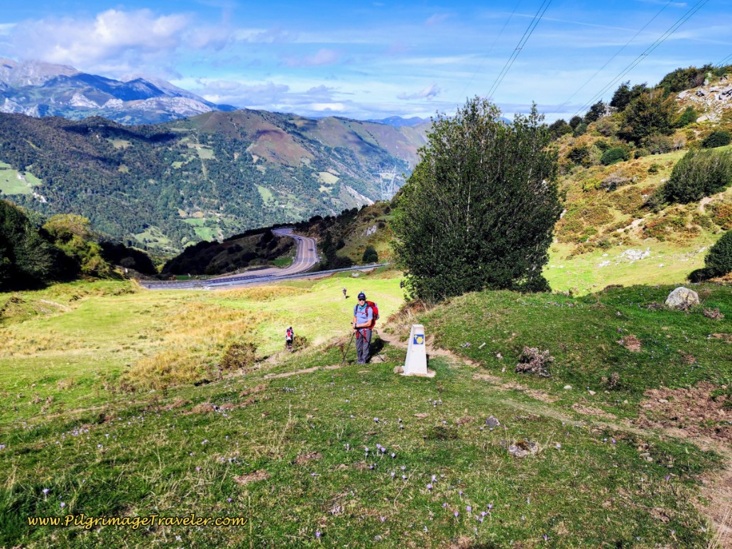 Mojón About Halfway Down the Slope
I kept telling myself that the “official route” following the waymarks had to be the best, but I am not sure it was!
Just below the concrete waymark there is a water fountain with a trough, that the wild horses are very happy for! You can see these horses, which are quite tame and well-cared for in the photo, below.
As you descend the steep slope, try to aim for the far left of the runaway truck ramp at the bottom of the slope, a disconcerting reminder of how steep and mountainous it really is through here. Also, look for the waymarks and signs across the N-630 along an obvious gravel road and aim for them as you descend the slope.
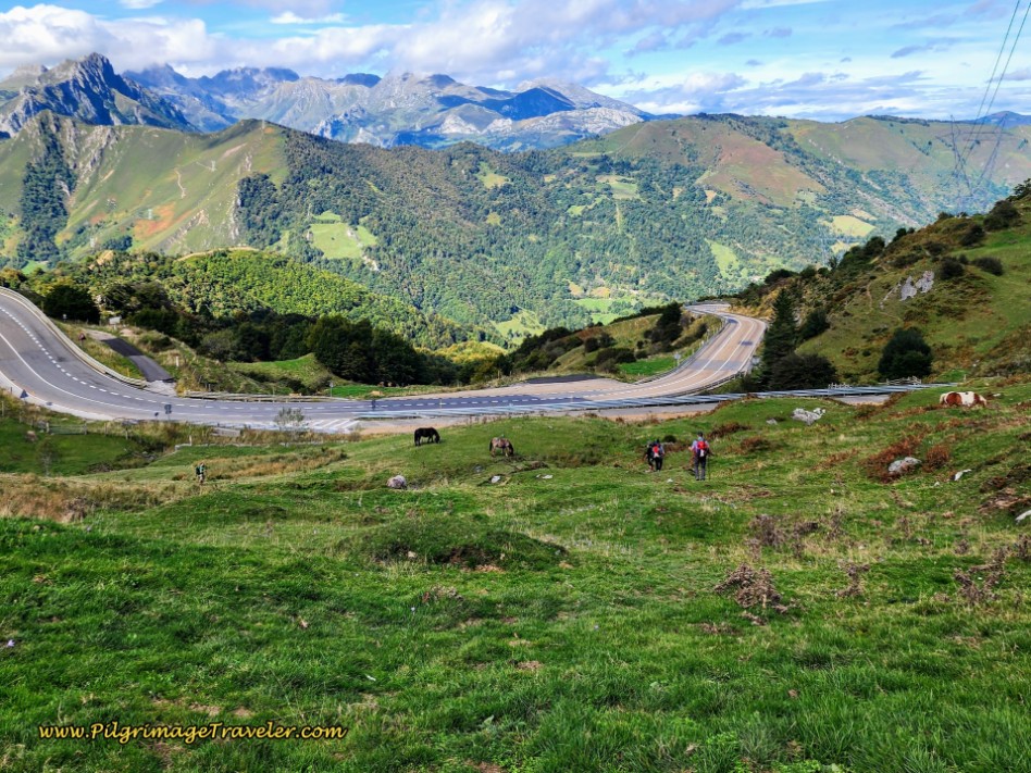 Lower Portion of the Slope by the Runaway Truck Ramp at Puerto de Pajares on the N-630
Since we stayed more to the right in the grassy slope, at the bottom, when we got to the highway, we needed to head left and cross a ditch filled with running water to get to a gate - the only passageway across the highway.
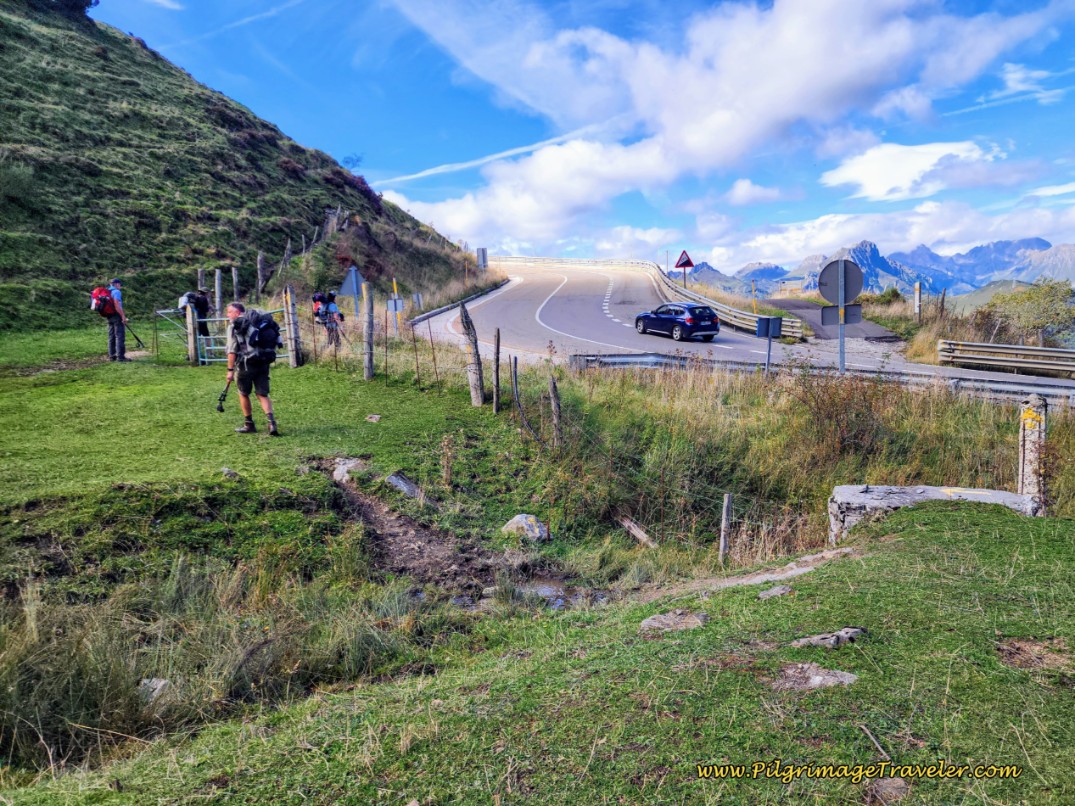 Cross Ditch and Go Through Gate
After about 9.7 kilometers, and after going through the gate, you cross the N-630 at the bottom of the slope where it comes down from the Parador. We were already exhausted after only 9.7 kilometers into our day!
When you reach the lane across the highway, there are several information boards that remind you of the local resources going into this incredible walk. And ahead, the path ahead affords spectacular views!
Jump to Camino de San Salvador Stages
The All-Important Decision Point!
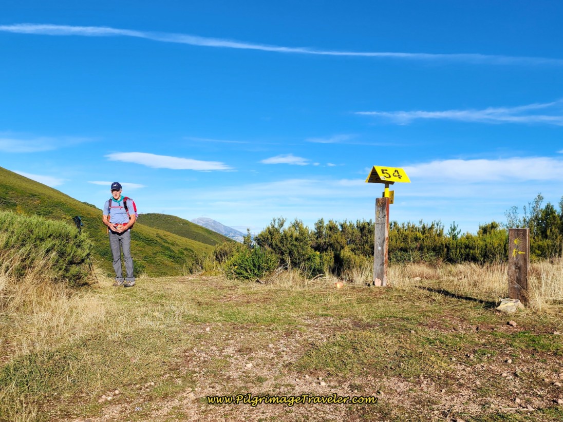
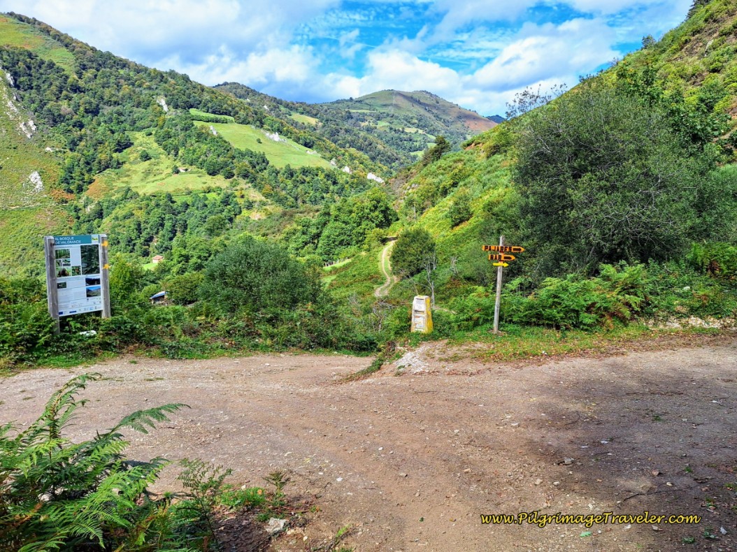
Just beyond the highway, after about 10 kilometers, the pilgrimage traveler comes to a very important decision point. Here is where you have the choice to head for the albergue in Pajares or continue onward to San Miguel del Río and beyond.
This decision point is just before the lane takes a sharp bend to the left that you can see in the middle of the photo, above, where all the pilgrims are clustered.
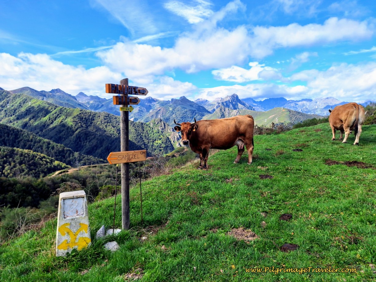
And pictured next is the actual signage at this decision point. The top wooden arrow says “Pajares” and the middle one says “Bar,” both pointing to the right. The lower one says, “San Miguel,” and points to the left.
To repeat your options from this decision point: It is approximately another 3.8 kilometers to Pajares from here, for a total of about 13.8 for day three, on a steep downhill that is very muddy during or after rain and a bit harder to find your way.
It is 4.92 kilometers from here to San Miguel del Río, with the nearest accommodation in Llanos de Somerón, the private Albergue Cascoxu, about another 3.7 kilometers more, for a total of approximately 18.5 kilometers from Poladura.
The next choice is the donativo Albergue Parroquial Virgen de Bendueños, (+34 674 67 17 06). You can call the owners to come pick you up in Herías (or Erías) right along the Camino after 18.5 kilometers from the decision point, OR you can walk the additional 1.5 kilometers off-Camino after 20 kilometers from the decision point. The total for the day is then 28.5 kilometers (17.7 miles) or 30 kilometers (18.6 kilometers) from Poladura depending on whether the proprietors pick you up in Herías.
Your final choice is to walk all the way to Campomanes, another 1.7 kilometers from Herías, or about an additional 20.3 kilometers (12.6 miles) from the decision point and a total of 30.3 kilometers (18.8 miles) from Poladura to Campomanes.
Make your decision here very wisely! In retrospect, as a 60+ year-old woman and of relatively above average fitness for my age, I wish I had chosen to go to Pajares! The brutal downhill from here, for 20 more kilometers all the way to Campomanes truly did me in!
The final 20 kilometers took so much longer than we expected, another full 5.0 hours. It is all downhill as noted, and the trails are not always well-maintained. It was a full 10 hours on our day three on the Camino de San Salvador, an exhausting one that I would never, ever again choose to repeat.
Jump to Camino de San Salvador Stages
The Camino to Pajares
From the high decision point, walk to the right of the signs as they indicate, along the top of the ridge, and toward the first metal yellow shell, pictured below.
Begin the steep descent still maintaining the ridge, skirting the trees to the left. The next two photos I hope depict the roughness and steepness of this trail, full of loose rocks. I used my poles heavily to prevent any slipping and falling.
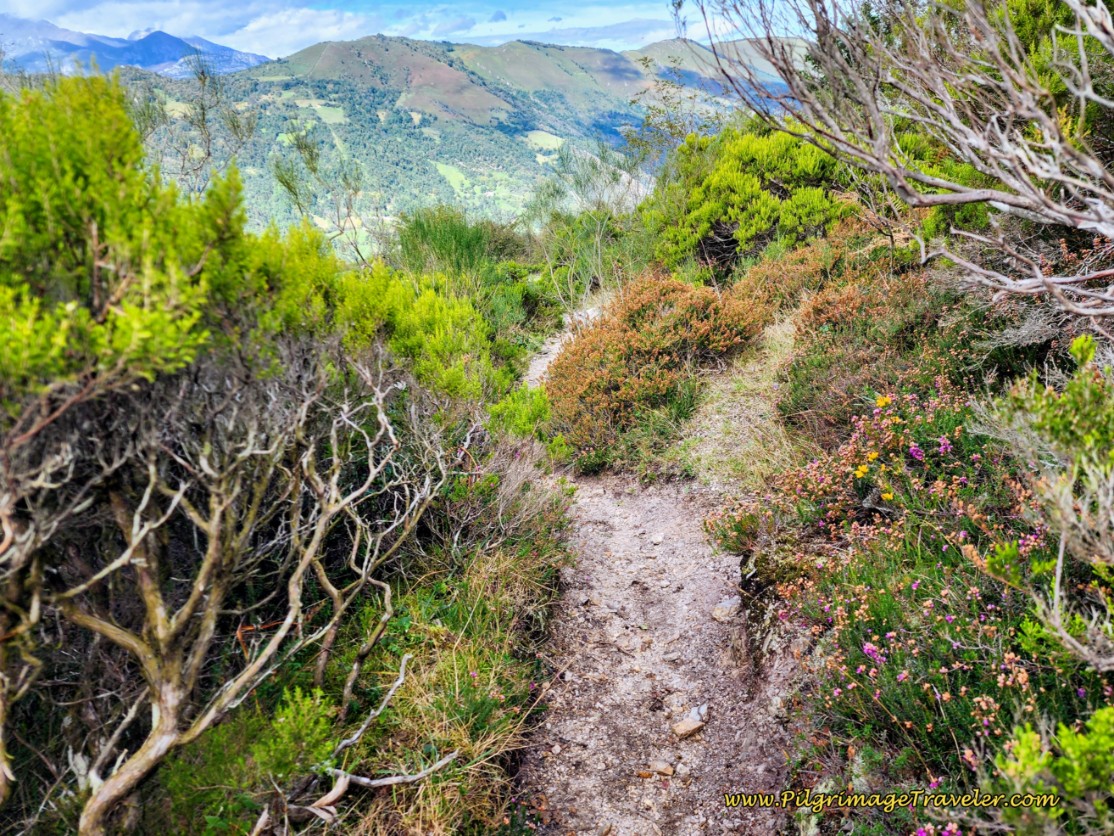 The Trail Steepens as it Descends on the Way to Pajares
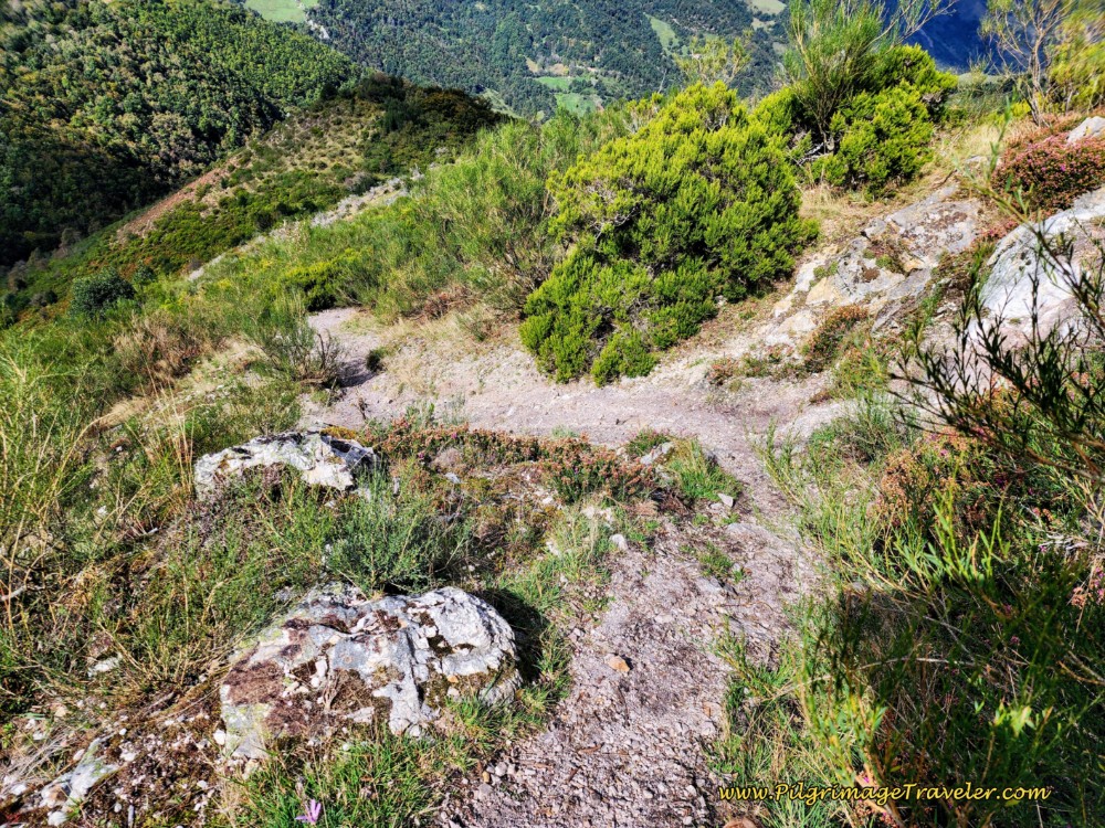 The Trail Gets Rougher and Looser on Day Three, Camino de San Salvador
After about 400 meters of zig-zagging down the slope, the trail abruptly takes a right turn into the trees. The trail was very faint here as I passed through, because of the tall ferns and grass, below. I was grateful for the metal yellow arrow.
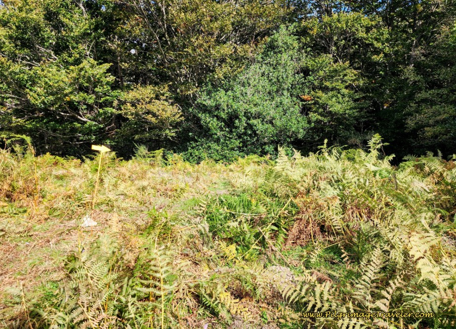 Trail Overgrown with Grass and Ferns
As the trail descends into the thick trees, you will cross your first stream, below. There were lots of clumps of muddy, churned up soil from the rooting of the wild pigs!
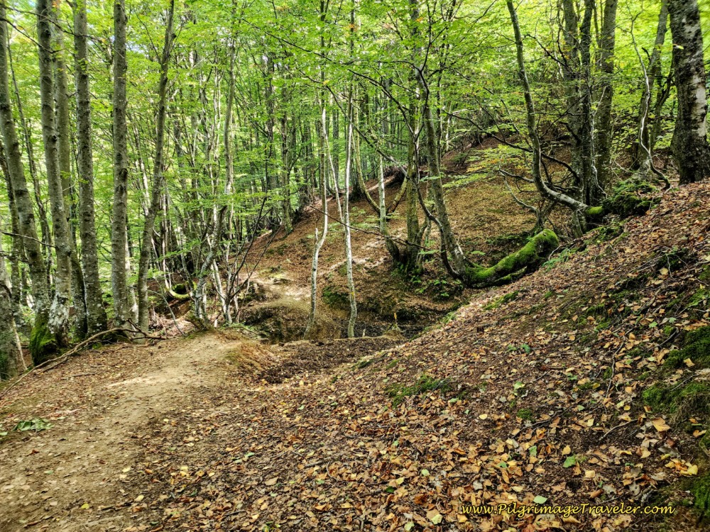 First Stream Crossing in the Woods
After about 160 meters in the woods, the trail crosses the second stream, not pictured, and comes up and out into a wide strip of grassy meadow. You will have to look hard to your left to see faint yellow arrows painted on the rocks. You can’t turn right due to a fence line. After turning left, as you descend through this meadow, a more worn trail will appear and more arrows painted on rocks, below.
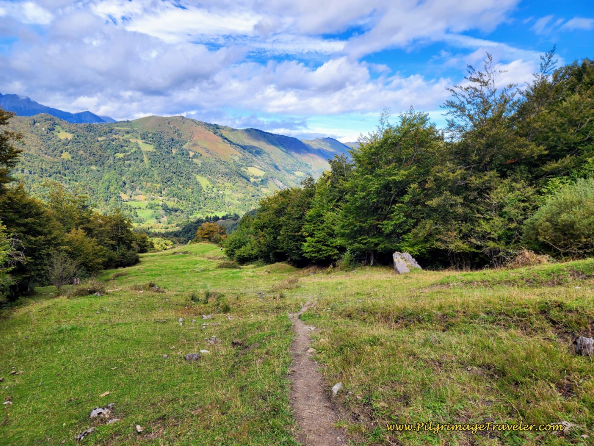 Faint Trail in Meadow
After not quite another 200 meters in this meadow, cross a drainage ditch, and when you arrive on the other side, this metal yellow arrow, below, guides you to the right and onto a grassy lane.
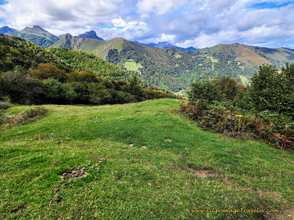 Leave Meadow, Turn Right at Yellow Arrow
Follow this grassy lane for about another 300 meters, still descending strongly until you come to a T-intersection with the wide dirt tracks of the AS PR-93 after about 1.1 kilometer from the turn off.
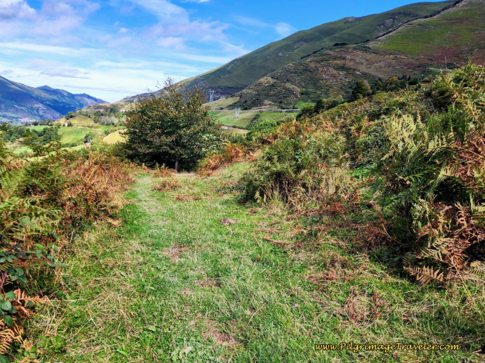 Follow Grassy Lane, Day Three, Camino de San Salvador
It’s important to note that the two stream crossings through this section may present a challenge in the spring. Consult with the locals if it has rained a lot before your walk.
Turn right onto the AS PR-93, shown next, and follow this road for about 1.15 kilometers. Pass through a yellow gate along the way.
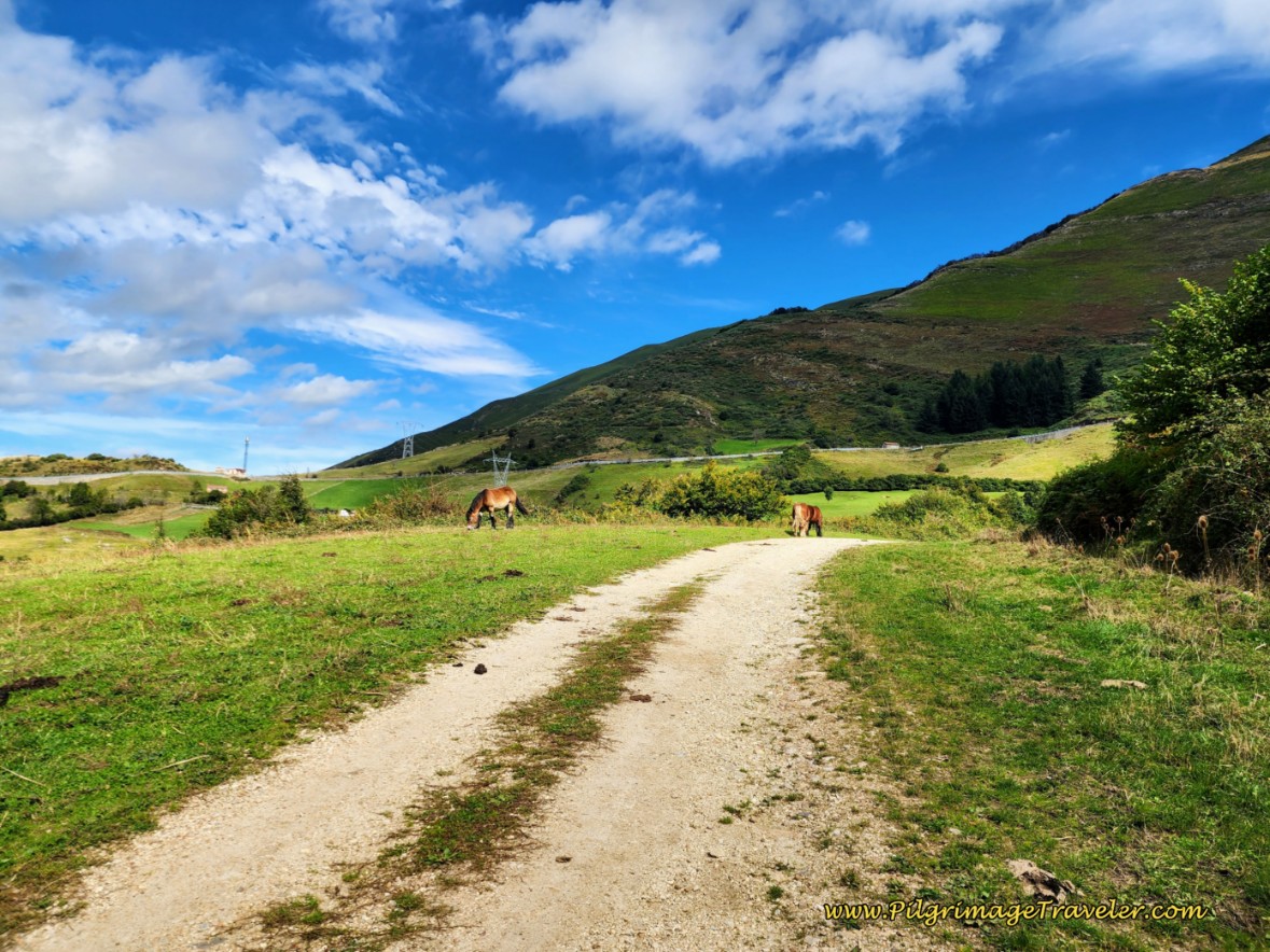 Join the AS PR-93 Dirt Road
Eventually you will see the highway, the N-630 above you as you walk along. But just before the lane joins the N-630, you turn left onto this path, pictured below. This turn may be easy to miss, so if you come to the highway, you actually did miss the turn. You could continue on the highway into Pajares. There is a shoulder to walk upon, but of course it is not as nice.
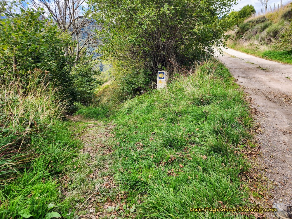 Left Turn Onto Path Before the Highway
Continue on this path for about 560 meters, winding your way through trees and by quaint buildings, like the one here.
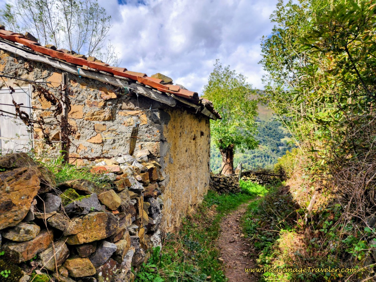 Wind Through the Countryside on the Path
Next, join another wide dirt track that turns to pavement after about 1/2 kilometer, as it approaches Pajares. The town is now in sight.
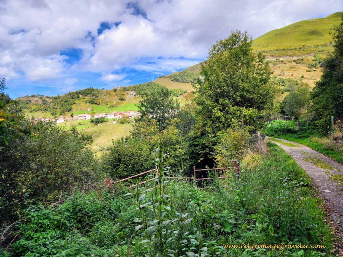 Pajares Just Ahead on Day Three, Camino de San Salvador
Come to a T-intersection and turn left. Walk into town on the side road, and arrive about 150 meters later.
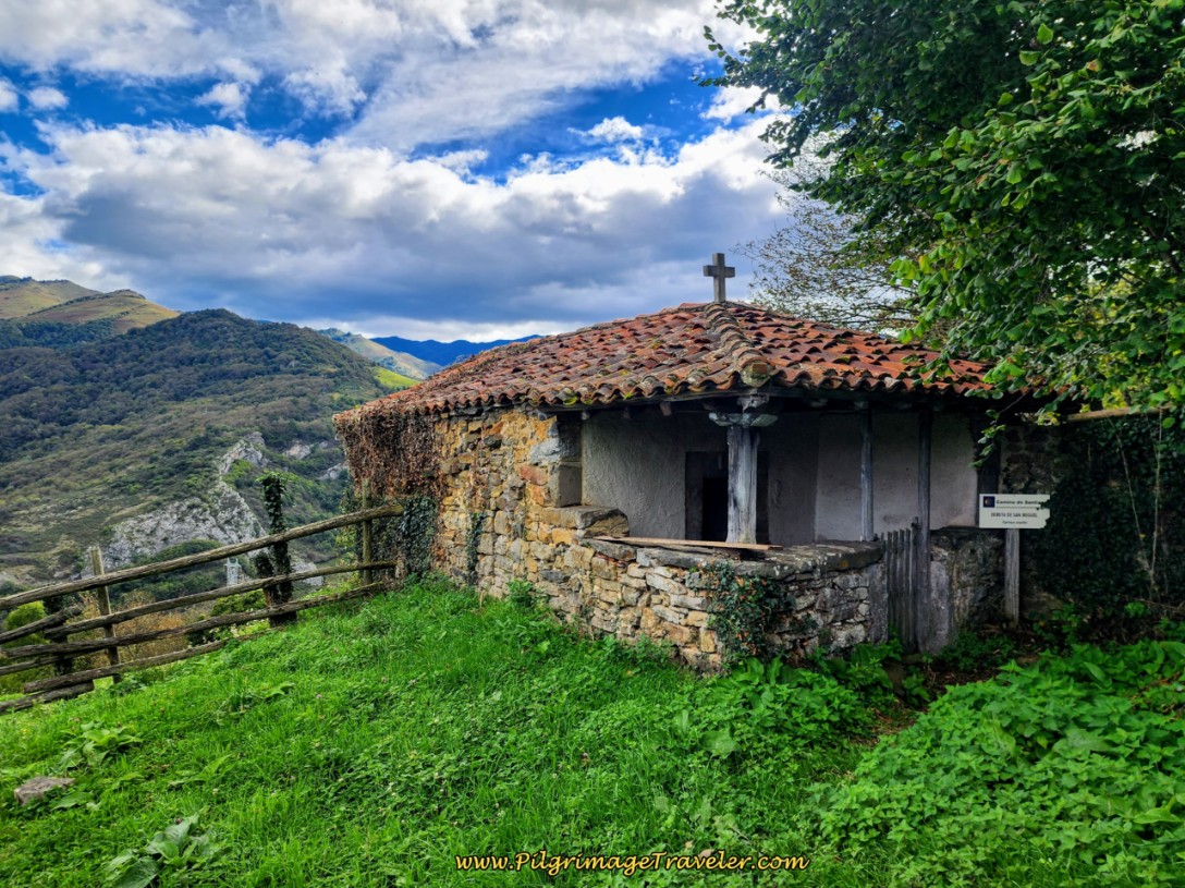
Pajares is a quaint little town, with views of the mountains, from almost everywhere! Pass the town church, and then this lovely hóorreo, with the traditional Asturian Wooden shoes hanging up!
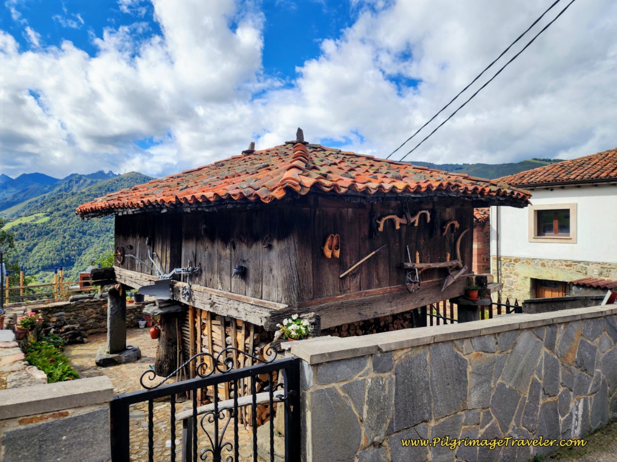 Quaint Hórreo with Asturian Wooden Shoes
About 400 meters after entering town the Albergue de Peregrinos de Pajares is on your left, pictured below, immediately after the historic ruins of the old pilgrim’s hospital, called the "Solar del Hospital de San Miguel" that served pilgrims in the 18th and 19 centuries. The albergue has eleven places and a kitchen. There is no grocery store here, so you either must bring your own food or eat in one of the local cafés.
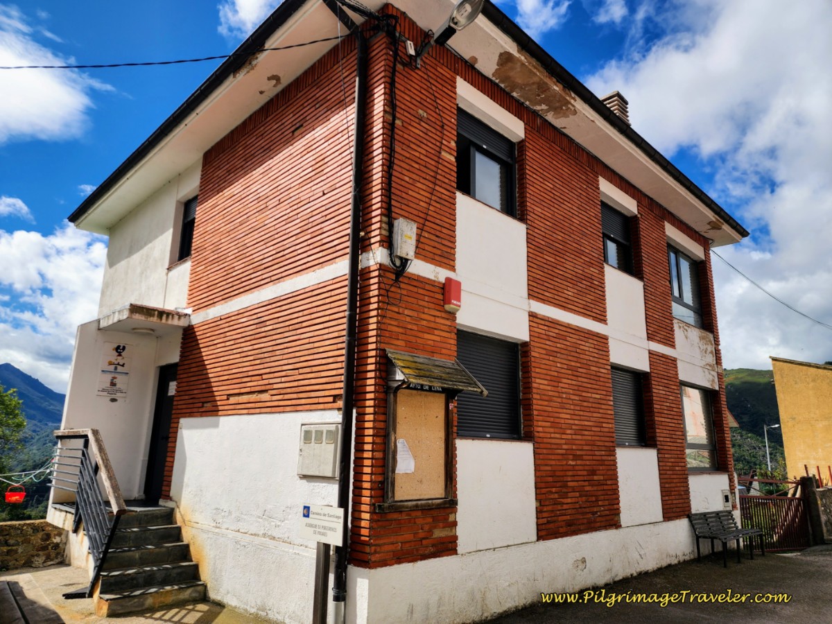 Pajares Municipal Albergue
In town, one block up is the affordable Pensión El Mirador (+34 636 93 30 69), for those who prefer individual rooms.
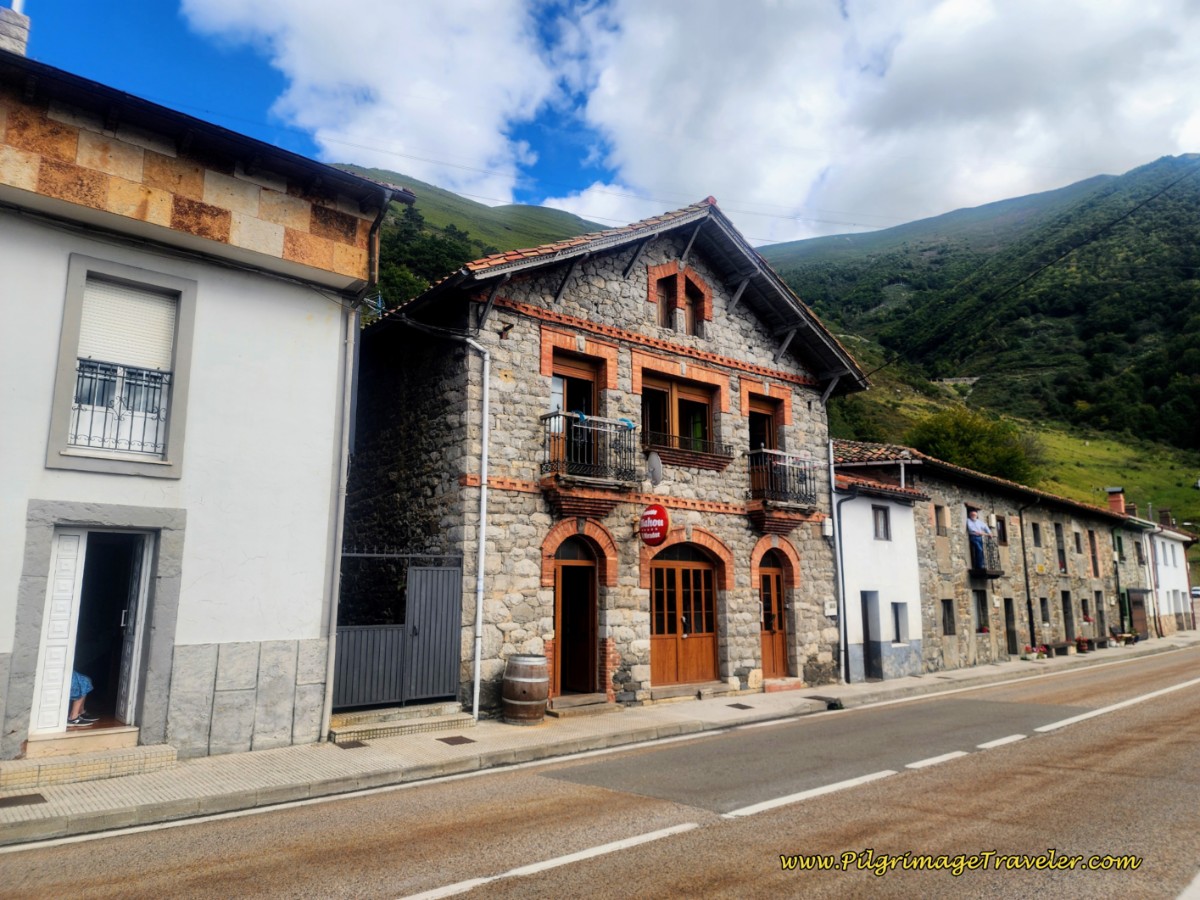 Pensión El Mirador
You can get a meal here at the bar, but only if you reserve ahead. The dinner was good, but not great. We stayed here and it was an adequate place, with wonderful views from the upper floor. However, the breakfast that she set out at the bottom of the stairs was absolutely pathetic, so if you stay here, plan to bring your own breakfast! It wasn’t worth the money we paid for it!
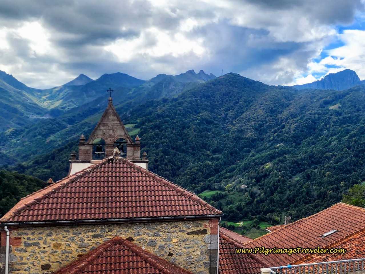 View of the Pajares Church from the Pensión El Mirador
We heard excellent reports about the Posada Real Pajares (+34 600 330 241), farther down the road, which has special pilgrim rates if you call ahead, or book directly on their website. If you have 4 people, you may want to book the apartment, the Valle del Sol I.
Jump to Camino de San Salvador Stages
The Camino to San Miguel del Río
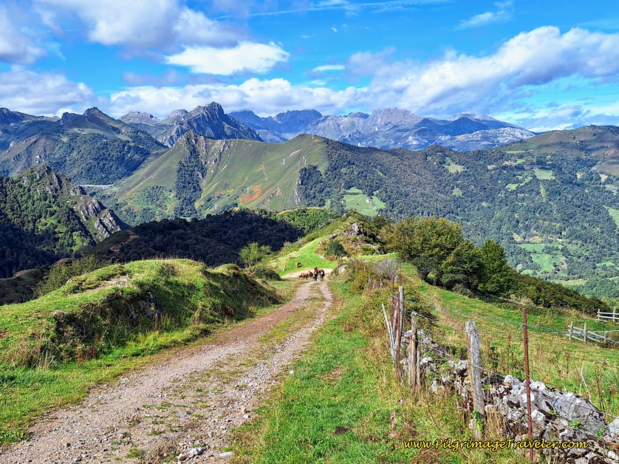
As stated above, it is 4.92 kilometers from the decision point to San Miguel. It is mostly through meadows and lovely beech forests, continuing to follow the power line, on steep downhills.
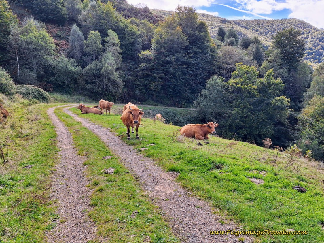
You will share the trail with the cows! It is better marked than in the past, and the only way you will get lost is if you are not paying attention. This walk affords amazing views, and in my humble opinion, I prefer it to the trail to Pajares. But they each have their advantages. Hopefully, after you see both routes you can make a judgment for yourself.
Begin the descent from the decision point, on this easy tractor lane.
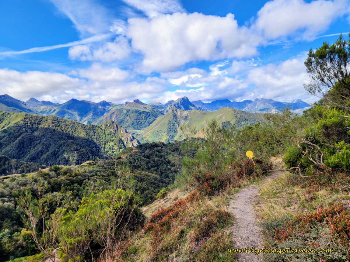
As you steeply descend, the lane joins a high ridge, below, the one you had a preview of, from the Cafetería El Mirador. This is an amazingly open, beautiful and lofty place!
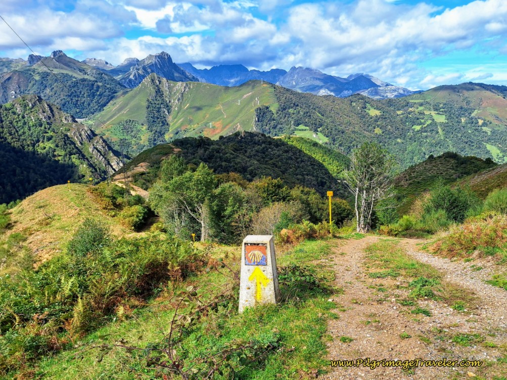 The High Trail
Once you are up on the ridge, you are following the power line.
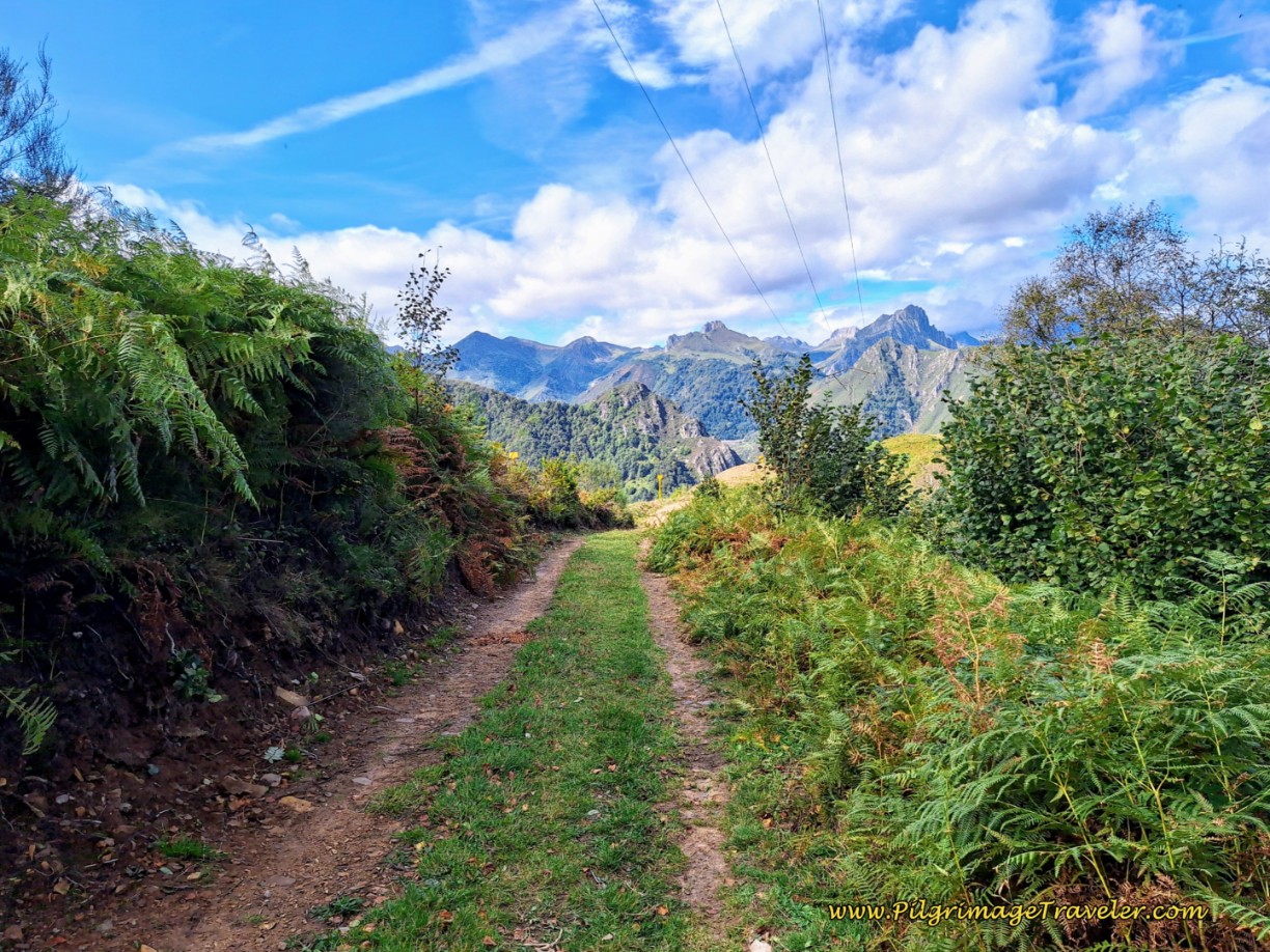 Follow the Power Line on the Ridge
The Way continues toward this viewpoint, below. It is after about 1.4 kilometers from the decision point, and 11.4 kilometers total from Poladura, that you will drop steeply from the ridge, and enter a series of steep switchbacks. Enjoy your final views of the incredible Ubiñas Mountains, part of the Cantabrian range!
At the bottom of the switchbacks, and after about 12.3 kilometers from Poladura, come to a prominent crossroad, below, with a concrete waymark directing you straight on and down the mountainside.
At this intersection you will see a sign describing the trails in the area, and yes the same wooden sign as above, directing you to the right, to Pajares and a “Bar” there. If you have changed your mind and you wish to go to Pajares afterall, you could follow this dirt road, all the way to Pajares. Supposedly, this is the route for bicycles. It is 2.5 kilometers to Pajares from this point. I am not sure why you would want to walk an additional four kilometers on this loop just to go back to Pajares!
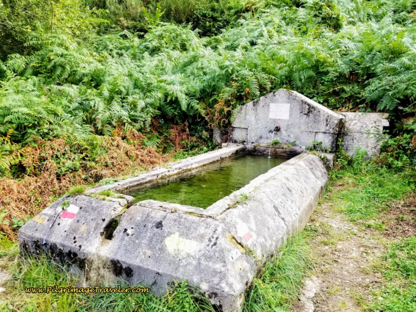
A few meters after the crossroad there is a fountain. The water is potable, cold and fresh!
The downhill was brutal on the legs and knees, and we made for slow time through here! I would pause and rest and try to baby my left knee that was starting to ache!
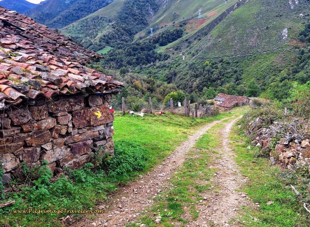
After about 12.8 kilometers you come to a cluster of beautiful stone buildings, shown below. They were lovely, with the backdrop of the high mountains.
Down the hill at the lower building, below, there is a gigantic bend in the road to the right, where the lane turns first eastward, then north towards San Miguel.
Here, the road flattens out for a few meters, but then takes its final steep descent into town.
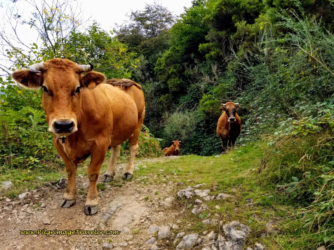
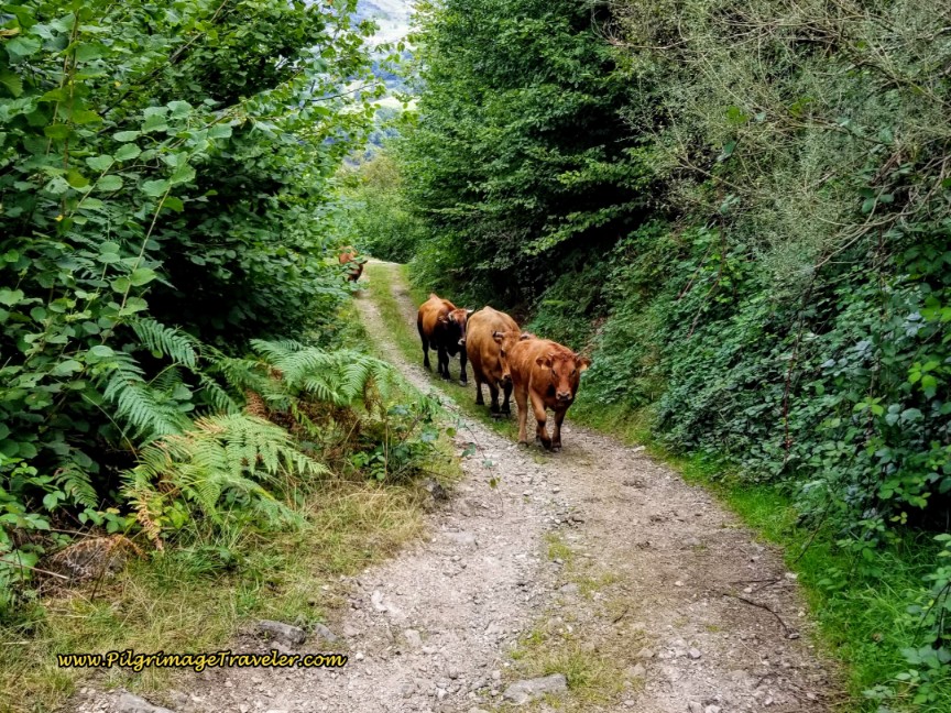
As we were descending down the next steep grade, along came the cows! They were being driven up the road by a farmer below. As cows do, they just stopped and stared at us!
About 1/2 kilometer after the buildings and the big bend, we took a left hand turn that now followed the Valgrande River valley.
After about another 1/2 kilometer, another left and the Way finally began to level off! This blessedly flat road follows the Río Valgrande towards San Miguel at last.
After 14.7 kilometers you come to the town of San Miguel del Río, below.
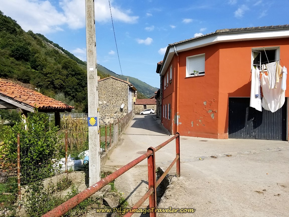 Entering San Miguel del Río
This is where we finally took our long lunch break. It was 12:30 in the afternoon, and we were only halfway into our day. It took us 4.5 hours to reach this point, having started at 8:00 in the morning, but did also include a 30 minute detour to the Colegiata de Santa María de Arbá. We were making slow progress for the day. If I only knew what lay ahead.
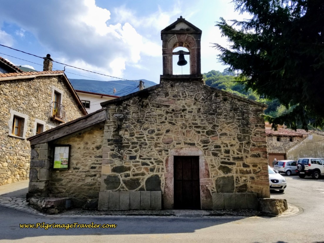
Next, you come to the main square in town, marked by the church where the description for this stage ends. See day four, for the description of the Camino going onward.
Across from the church are wonderful shady trees with benches, right beside the river, where we sat for our picnic lunch. There is a fountain here to fill your water bottles. There are no bars in San Miguel.
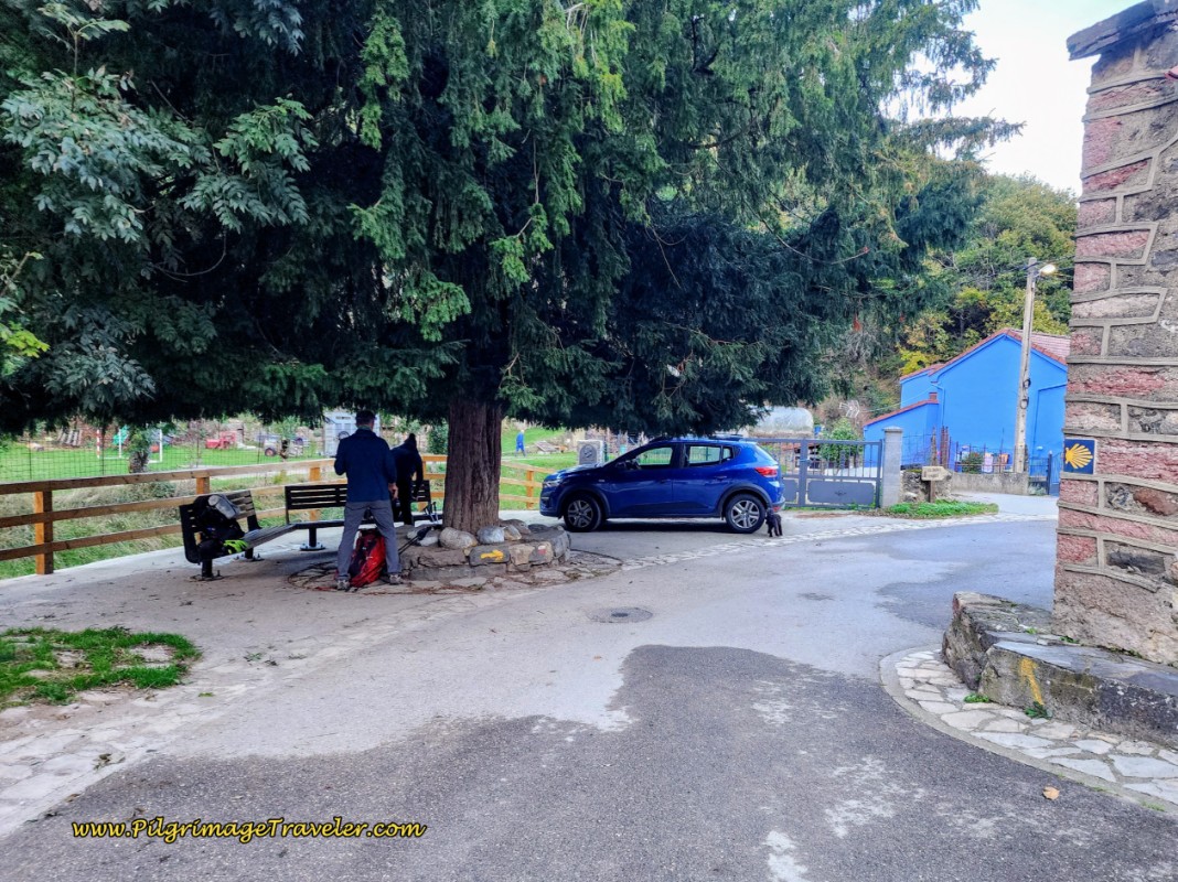 Picnic Area Under Trees by the Río Valgrande
As noted above, you can stay here in San Miguel, but it has only very expensive rural homes, geared for tourists going to the ski resort. They are the Casa Guela and the La Cuadrina de Anton, both with a 2-night minimum stay.
You could actually climb the steep road from San Miguel to Pajares if you wanted to stay there and missed the turns or changed your mind. It is 1.65 kilometers and an elevation gain of 260 meters (850 feet). Not a very attractive option after the elevation loss you have just accomplished.
If you still have 3.5 kilometers left in you, another choice now would be to go onward to the albergue in Llanos de Somerón. This is the option that we unfortunately did not have.
Reflections on Day Three of the Camino de San Salvador
While I am only describing the first half of our day three on the Camino del Salvador, all-in-all I can say that while I was tired throughout the day, I did not complain too much. I was worried about my left knee, with good reason.
I am not sure why we didn't stop halfway in Pajares. I thought perhaps the long lunch break in San Miguel would revive me, I suppose. And it did! But not for long enough as I was to find out.
Perhaps also, I was comparing other Caminos and thinking I had done 30 kilometers plus for many a day, with no ill effect. I kept telling myself, “It is only 30 kilometers!”
The rest of the day was brutal on my body, and I should have known better. Rich seemed to be doing just fine, and he was very patient with me, going forward. Bless him!
Or maybe, I had finally found my limit. Or maybe I didn't see very well from each new vista. I will never know for sure.
Unless you are accustomed to long up/downhill stints through difficult trails, and are truly a hardy soul, you may want to end your day in Pajares or Llanos! Enjoy the views in the mountains. They are special indeed. Take your time and go slowly.
Salutation
May you have no regrets on your own day three of the Camino de San Salvador. May each new summit afford a new scene from a new vantage point. May your own goals not overshadow your judgment and may you listen to your body so you can continue to climb steadily, slowly and enjoying each passing moment! Ultreia!
Camino de San Salvador Stages:
Please Consider Showing Your Support
Many readers contact me, Elle, to thank me for all the time and care that I have spent creating this informative website. If you have been truly blessed by my efforts, have not purchased an eBook, yet wish to contribute, I am exeedingly grateful. Thank you!
Search This Website:
🙋♀️ Why Trust Us at the Pilgrimage Traveler?

We’re not a travel agency ~ we’re fellow pilgrims! (See About Us)
We've trekked Pilgrimage Routes Across Europe since 2014!
💬 We’ve:
- Gotten lost so you don’t have to. 😉
- Followed waymarks in the glowing sunlight, the pouring rain and by moonlight. ☀️🌧️🌙
- Slept in albergues, hostels & casa rurals. Ate and drank in cafés along the way. 🛌 😴
- Created comprehensive and downloadable GPS maps and eBook Guides, full of must-have information based on real pilgrimage travels. 🧭 🗺️
- Shared our complete journeys, step by step to help YOU plan your ultimate pilgrimage and walk with your own Heart and Soul. 💙✨
Every detail is from our own experiences. Just fellow pilgrims sharing the Way. We have added a touch of spirituality, heartfelt insights and practical guidance from the road ~ offering a genuine connection to the spirit of pilgrimage. Tap into the wisdom of seasoned pilgrims!
Ultreia and Safe Pilgrimage Travels, Caminante! 💫 💚 🤍
Follow Me on Pinterest:
Find the Pilgrimage Traveler on Facebook:
Shroud Yourself in Mystery, along the Via de Francesco!
Walk in the Footsteps of St. Francis, and Connect Deeply with the Saint and to Nature in the Marvelous Italian Countryside!
Need suggestions on what to pack for your next pilgrimage? Click Here or on the photo below!
Find the Best Hotel Deals Using This Tool!
Carbon Trekking Poles ~ My Favorites!
Carbon fiber construction (not aluminum) in a trekking pole makes them ultra lightweight. We like the Z-Pole style from Black Diamond so we can hide our poles in our pack from potential thieves before getting to our albergue! There are many to choose from! (See more of our gear recommendations! )
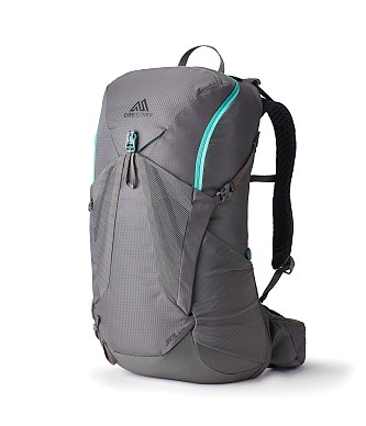
Gregory BackPack ~ My Favorite Brand
Do not forget your quick-dry microfiber towel!


