- ~ Home
- ~ Camino Portugués (The Portuguese Way)
- Day Five, Golega to Tomar
Jump to Camino Portugués Stages
Day Five on the Camino Portugués
~ Golegã to Tomar, 30 Kilometers (18.64 Miles)
Disclosure: the PilgrimageTraveler.com is an associate of Booking.com, Roamless, and Amazon. As associates of these merchants, we earn from qualifying purchases from our links.
Our day five on the Camino Portugués was a day of heat, toil and for me, emotionally difficult. We reached the milestone of completing almost one quarter of the Portuguese Way at the end of our day (almost 23% to be exact).
We did this in just five days and it was time to rethink our journey. A day of rest was in the cards for the next day in Tomar, and it couldn't come soon enough for me. Too many kilometers in too few days was taking its toll.
“In the confrontation between the stream and the rock, the stream always wins – not through strength, but through persistence.” ~ Buddha
🙋♀️ Why Trust Us at the Pilgrimage Traveler?
We’re not a travel agency ~ we’re fellow pilgrims! (See About Us)
We've trekked Pilgrimage Routes Across Europe since 2014!
💬 We’ve:
- Gotten lost so you don’t have to. 😉
- Followed waymarks in the glowing sunlight, the pouring rain and by moonlight. ☀️🌧️🌙
- Slept in albergues, hostels & casa rurals. Ate and drank in cafés along the way. 🛌 😴
- Created comprehensive and downloadable GPS maps and eBook Guides, full of must-have information based on real pilgrimage travels. 🧭 🗺️
- Shared our complete journeys, step by step to help YOU plan your ultimate pilgrimage and walk with your own Heart and Soul. 💙✨
Every detail is from our own experiences. Just fellow pilgrims sharing the Way. We have added a touch of spirituality, heartfelt insights and practical guidance from the road ~ offering a genuine connection to the spirit of pilgrimage. Tap into the wisdom of seasoned pilgrims!
Ultreia and Safe Pilgrimage Travels, Caminante! 💫 💚 🤍
Map and Stats of Day Five on the Camino Portugués
Here is my route on Google maps for day five, uploaded from my GPS application. I have as usual, included accommodations, cafés and supermarkets for your reference.
For the first time on the Camino Portugués the pilgrimage traveler encounters hill climbing of significance in midday, after Atalaia. Then a final little climb in the final third part of the day, not as high or as long as the previous two, but to me, seemed equally difficult at the end of a long and brutally hot day.
While the elevation isn't extreme, it may be more difficult than you may think.
👣 Camino Portugués eBook Guides
Enjoy all the valuable info from our web pages ~ offline, ad-free, and beautifully formatted, including our photos. Why carry a heavy guidebook when you can use a nimble digital version on your device?
Our guides are frequently updated and uniquely entertaining, as we share our own Camino story along the way.
📲 Instant download. 💸 Money-back guarantee. 🔄 Free updates for 1 year.
Buy only what you need ~ or grab all four for the price of three (25% savings). Click here for more information or BUY NOW at only 17.85!
Jump to Camino Portugués Stages
Our Swiss Friend Bows Out
We awoke to have breakfast in the Solo Duro albergue dining area, to learn that our Swiss friend was hurting badly. He stated that he would not walk today. His blister was huge and horrible, he states he is too tired and his stomach is bad. Oh my!
He was clearly in pain, and as he told us this information, he would not look me in the eye. He is a very proud man, and despite his pain, he still would not admit that perhaps his system had flaws. We knew he was carrying too much weight, and that his boots were too small, yet he still had tried to push through, not heeding our gentle advice.
The Camino will definitely humble you, even despite your best efforts to be flexible and to find your own pace. He didn't yet realize that he needed to find his own Camino. Because of his pride, he had been walking our Camino, not his own. I felt very sorry for him. We agreed to stay in communication with WhatsApp for the remainder of the day and meet up later in Tomar.
Photo-Rich Travelogue of Day Five on the Camino Portugués
Rich and I set off alone together through the streets of Golegã. Our day started out fresh and new, as we left the Solo Duro albergue just after sunrise. Rich's blister was better today, but he was still limping a bit. He thinks he is OK to do a 30 kilometer day. We shall see!
First I will describe the shortcut route out of Golegã given to us by the hospitalera, shown in red on the interactive map above. For the shortcut, take the Rua Francisco de Sousa Terré on the southside of the albergue, heading eastward for one block. Turn left onto the Rua Padre Marrão and walk for about 200 meters, taking the first right onto the Rua Luis de Camões. In two blocks, come to a T-intersection and take a left onto the Rua Dr. Branco, below.
In about 1/3 kilometer, the Rua Dr. Branco crosses the N243 and continues straight on as an unnamed paved country road, see below. We walked on this pleasant road for about 1.8 kilometers, with no traffic at all in the morning. I was in a positive frame of mind in the peaceful surroundings.
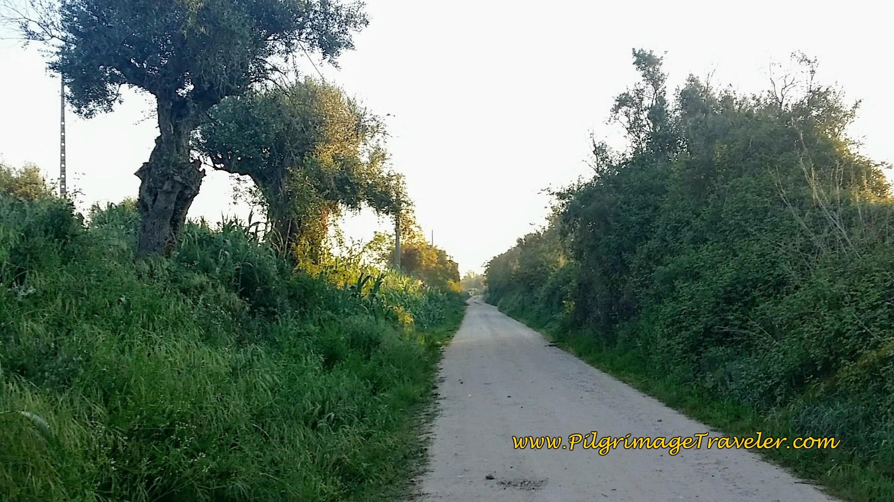 Unnamed, Paved and Quiet Country Road
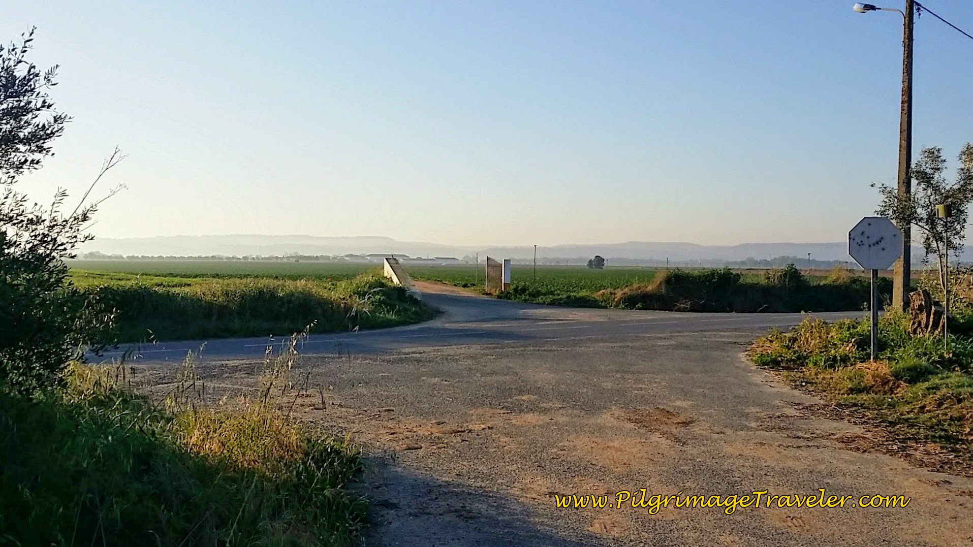
When the road bends to a hard right, it comes to this T-intersection, below, where you turn left to join the CM1183 and the official route from town.
The description for the official route begins at the main church, where you take the road to the right of it, the Rua Dom João IV as you can see in the photo below.
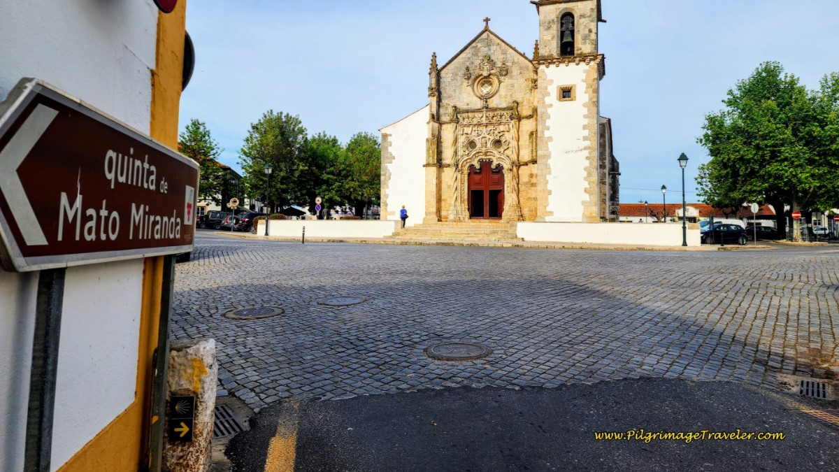 Official Route Begins at Church in Golegã
You will walk east on this street for about one kilometer.
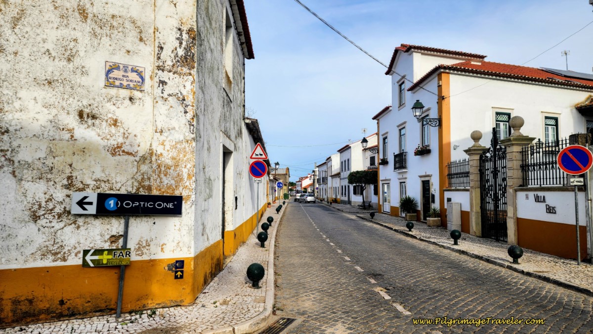 Along the Rua Dom João IV
At a Y-intersection, turn left (north) onto the Rua do Casal Branco and walk for another 1/3 kilometer until you come to this roundabout. Go straight through and pick-up the CM1183.
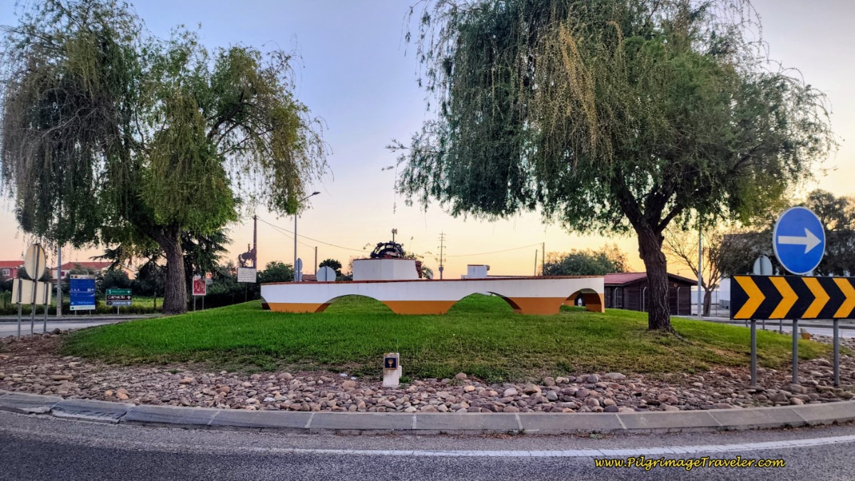 Roundabout at North Side of Town
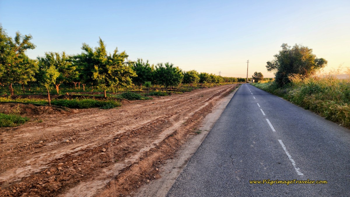
You will walk along the CM1183 for about 1.5 kilometers, to the road where the shortcut route joins from the left. Below is the place along the CM1183, just past where the shortcut route joins the official route at this tree farm. I never did figure out what type of trees were being grown.
The CM1183 takes the pilgrimage traveler about another kilometer-and-a-half, first past the wine estate of Casal Branco, then past this sign to Maiã, below, but stays left here until it joins the M572.
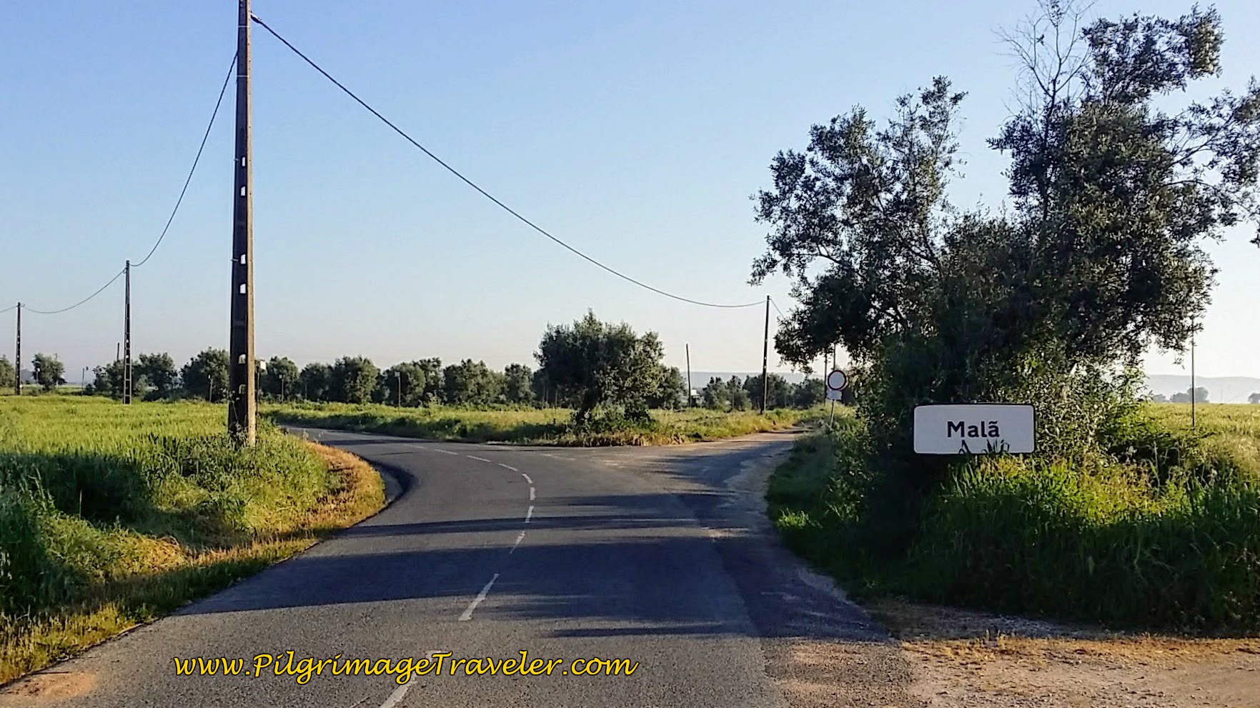 Walking Past Maiã on the CM1183
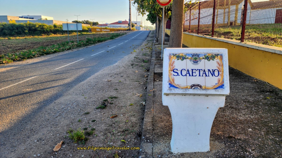
In barely another kilometer, the M572 took us into the town of São Caetano, after 5.7 kilometers into the day. The day was still very quiet along this route. It made for a lovely and meditative walk.
Soon after arriving in São Caetano, you will turn right into the Largo de São Caetano, town square, where a friendly statue hails to you, below, reminding you that indeed, you are on a pilgrimage.
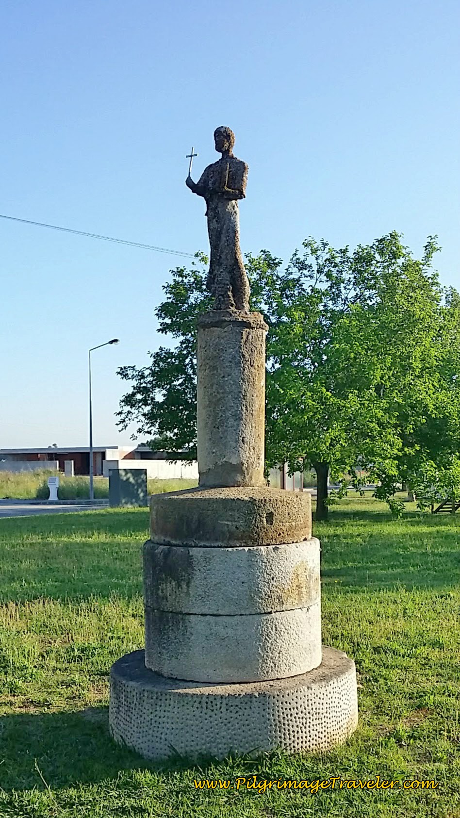 São Caetano Statue Greets You
A few meters past the statue you will walk past the private albergue, the Casa São Caetano, if you wish to end here.
And at the eastern end of the square, where the Camino goes across the small park and to the left, there are nice picnic tables, and restrooms. And the small town chapel is to the south. A lovely place to rest if you need it! See the photo below, for the chapel and picnic/BBQ area.
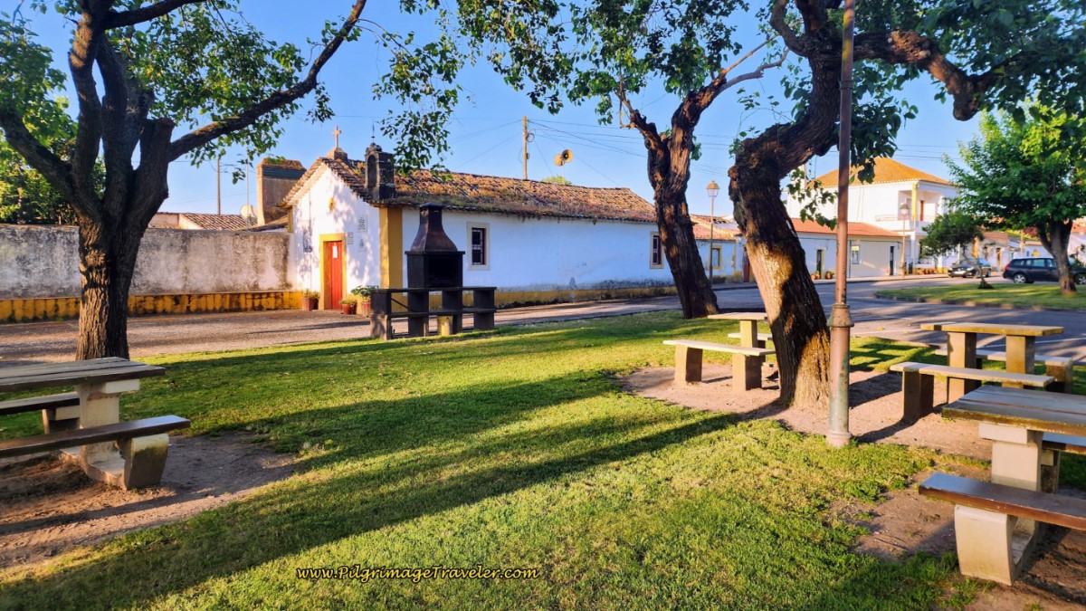 Capela de São Caetano and Rest Area
After turning left onto the Rua Direita, and walking out of town, this road takes you through the amazing and crumbling Quinta da Cardiga. Here is the Camino approaching this marvelous old estate.
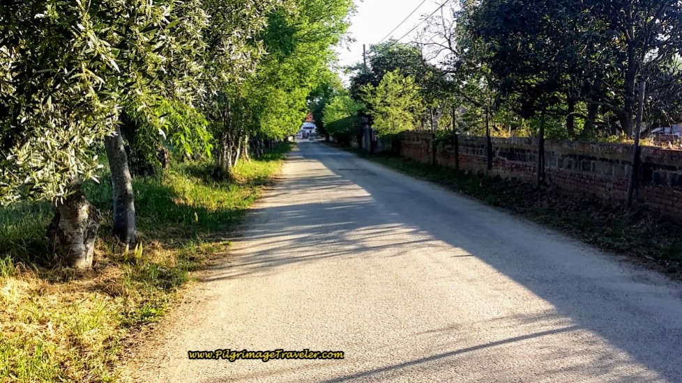 Approaching the Quinta da Cardiga on Day Five, Camino Portugués
At the end of the road, above, the sign in the photo below, announces your arrival at the Quinta after 6.5 kilometers total.
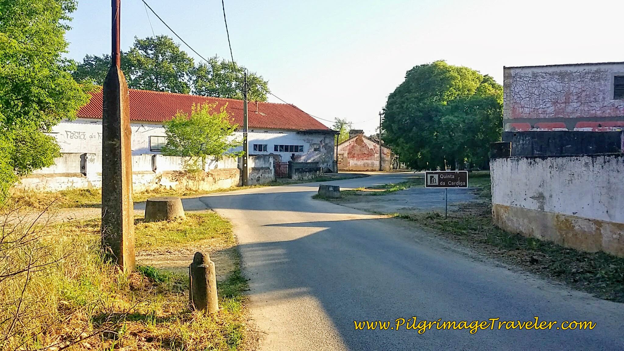 The Signpost Announces Your Arrival at the Quinta da Cardiga
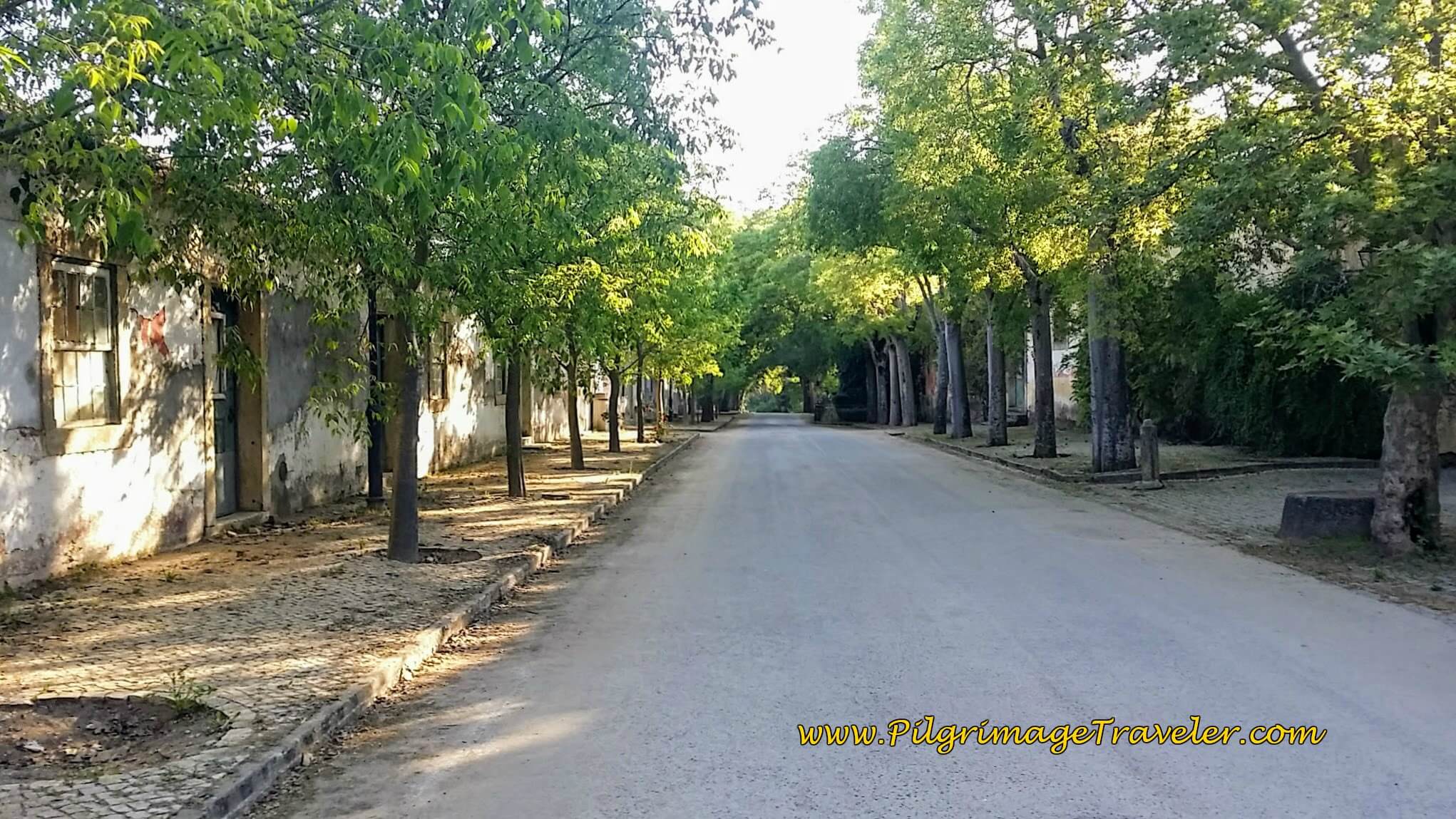
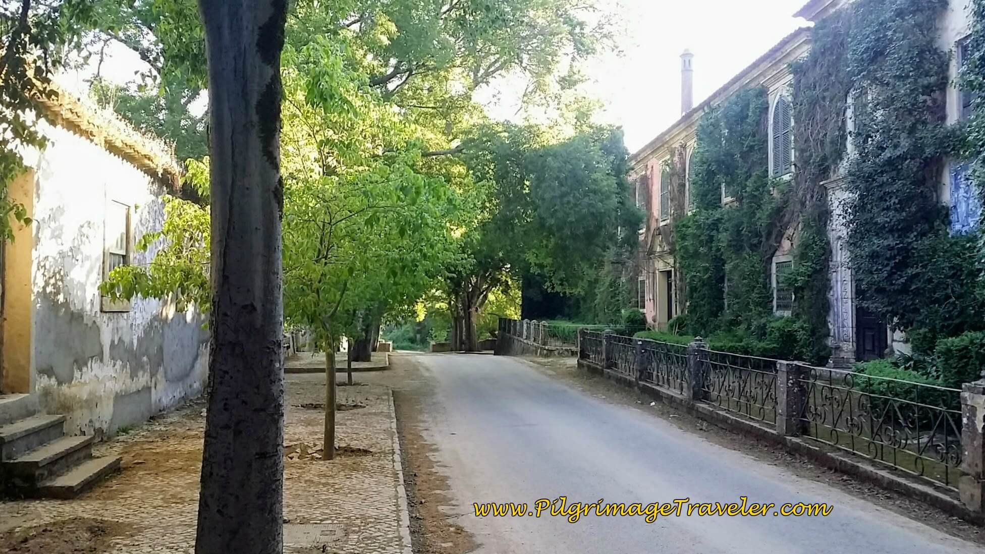
The sheltered tree-lined street takes the pilgrimage traveler directly into the heart of the old estate. The Quinta feels more like a town, than an estate! It's operations must have been enormous. I was in awe as I passed through. I could find no great reference for information on this romantic place, except for this from waymarking.com. Interesting that it was originally established as a grant to the Knights Templar by the first king of Portugal in 1160.
Half-way down the tree-lined boulevard you see the main house on the right.
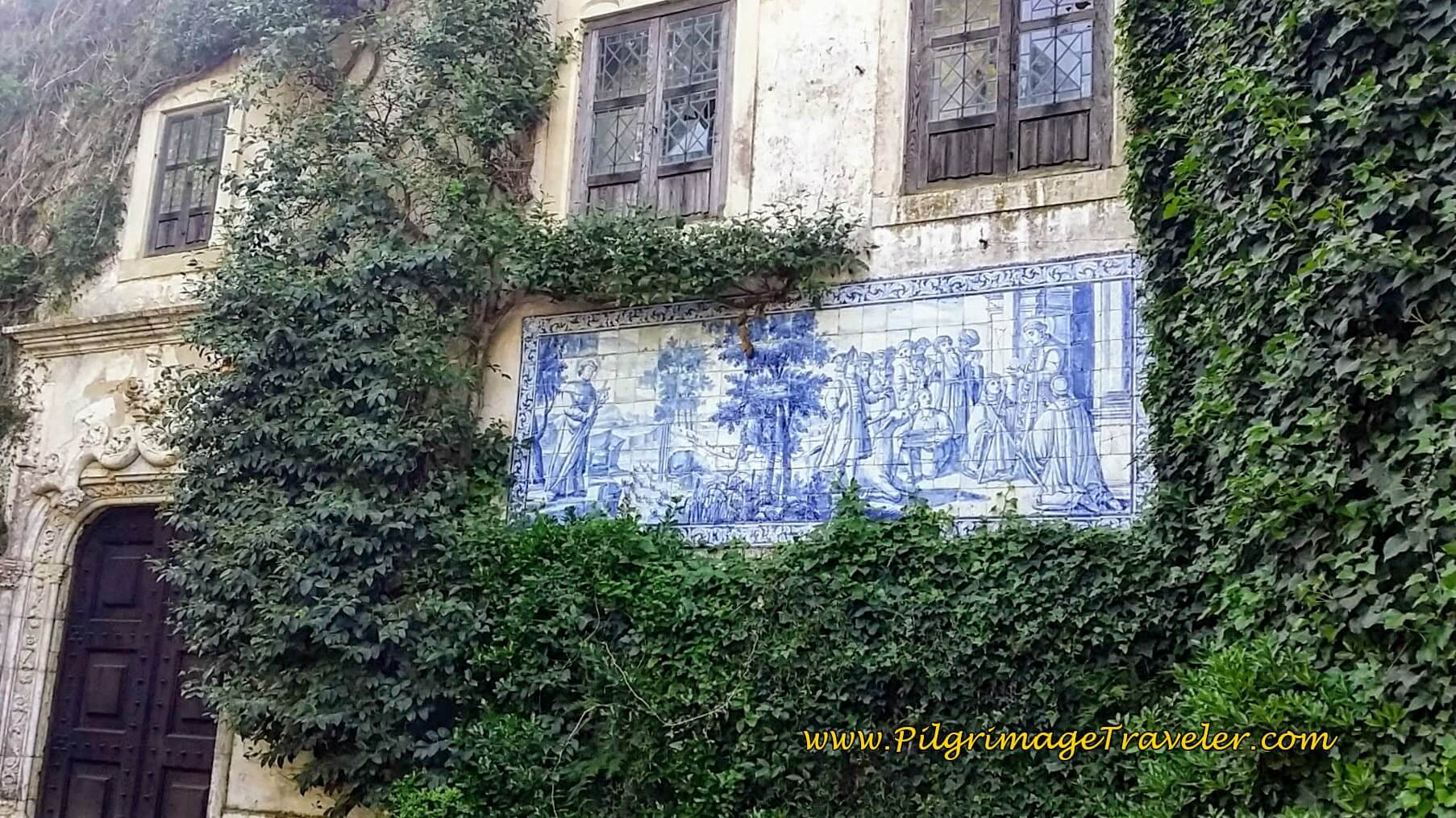
The azulejo mural on the main house entrance is here in the photo, below.
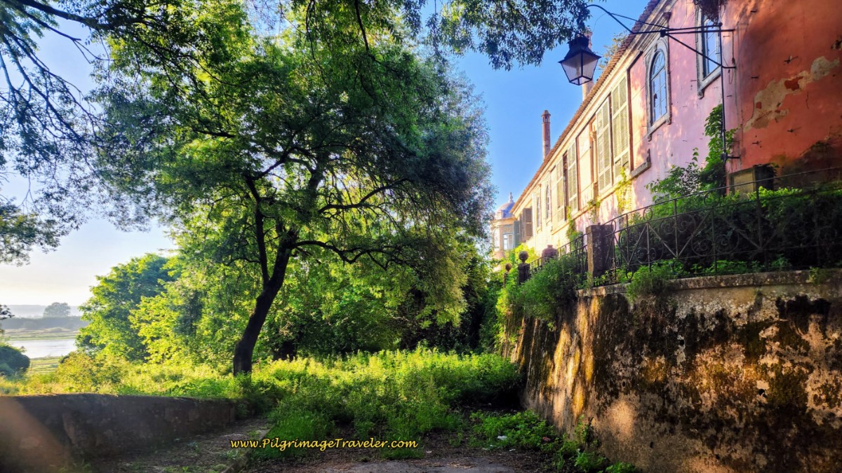
Passing the main house, and looking to your right, you can see how the Quinta backed up to the Tagus River. This location, with its views to the river must have been grand indeed!
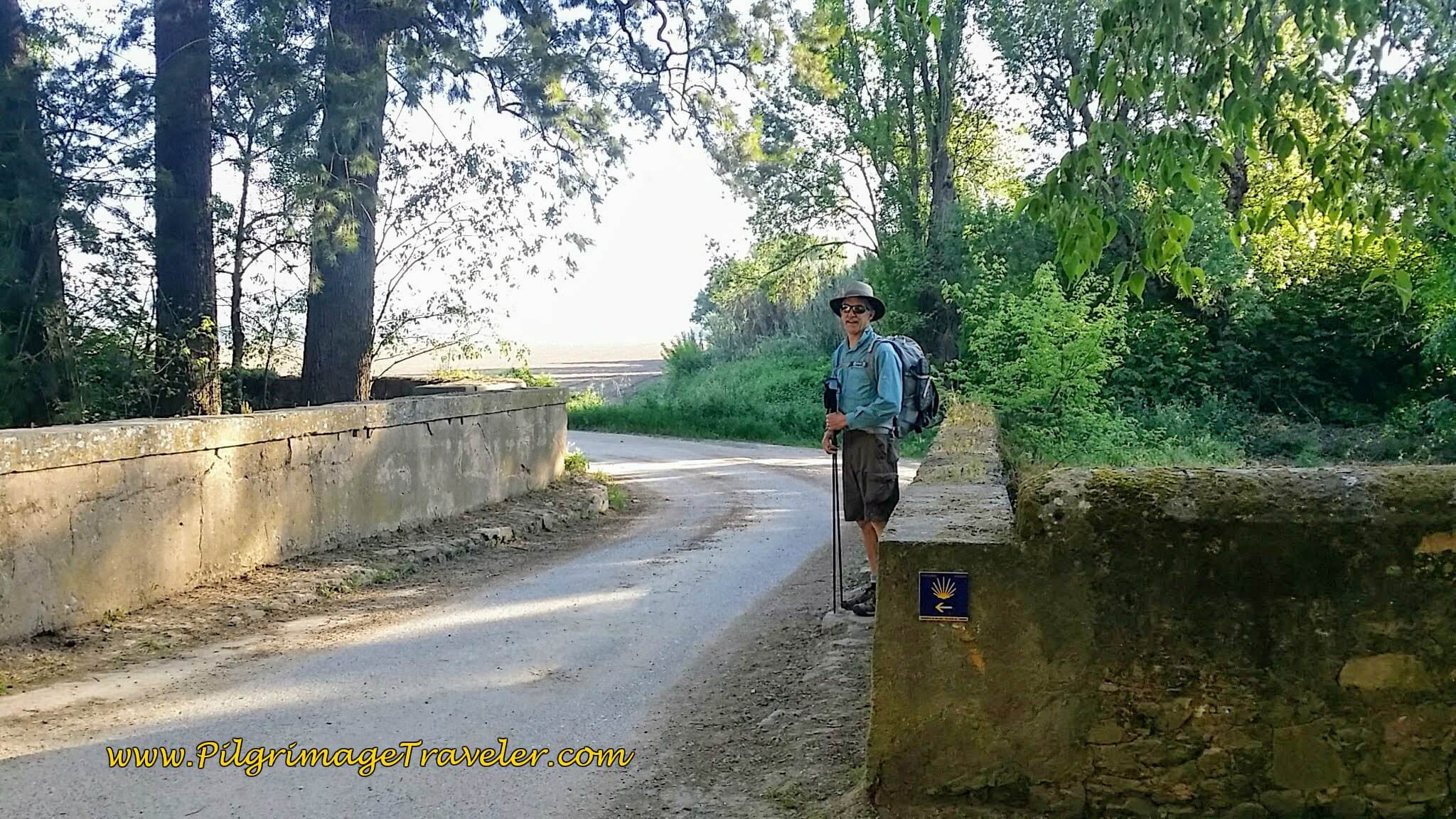
I felt sad for the fall of the Quinta da Cardiga. We lingered a bit in the cool shade, by this stream crossing, below, a fabulous respite from the growing sun, and pondered what the glory days of this place must have been like! Hopefully one day its glory will be restored.
And then, just as suddenly as we found repose within the Quinta, we abruptly re-entered the sunny countryside of Portugal, just beyond the bend. Here comes the heat.
Jump to Camino Portugués Stages
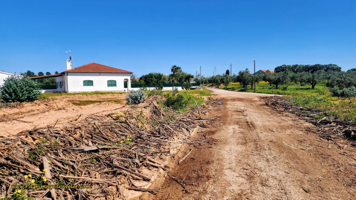
Walking onward, for about 1.5 kilometers, on open dirt lanes, we entered the town of Vila Nova da Barquinha, after about 8.1 kilometers total.
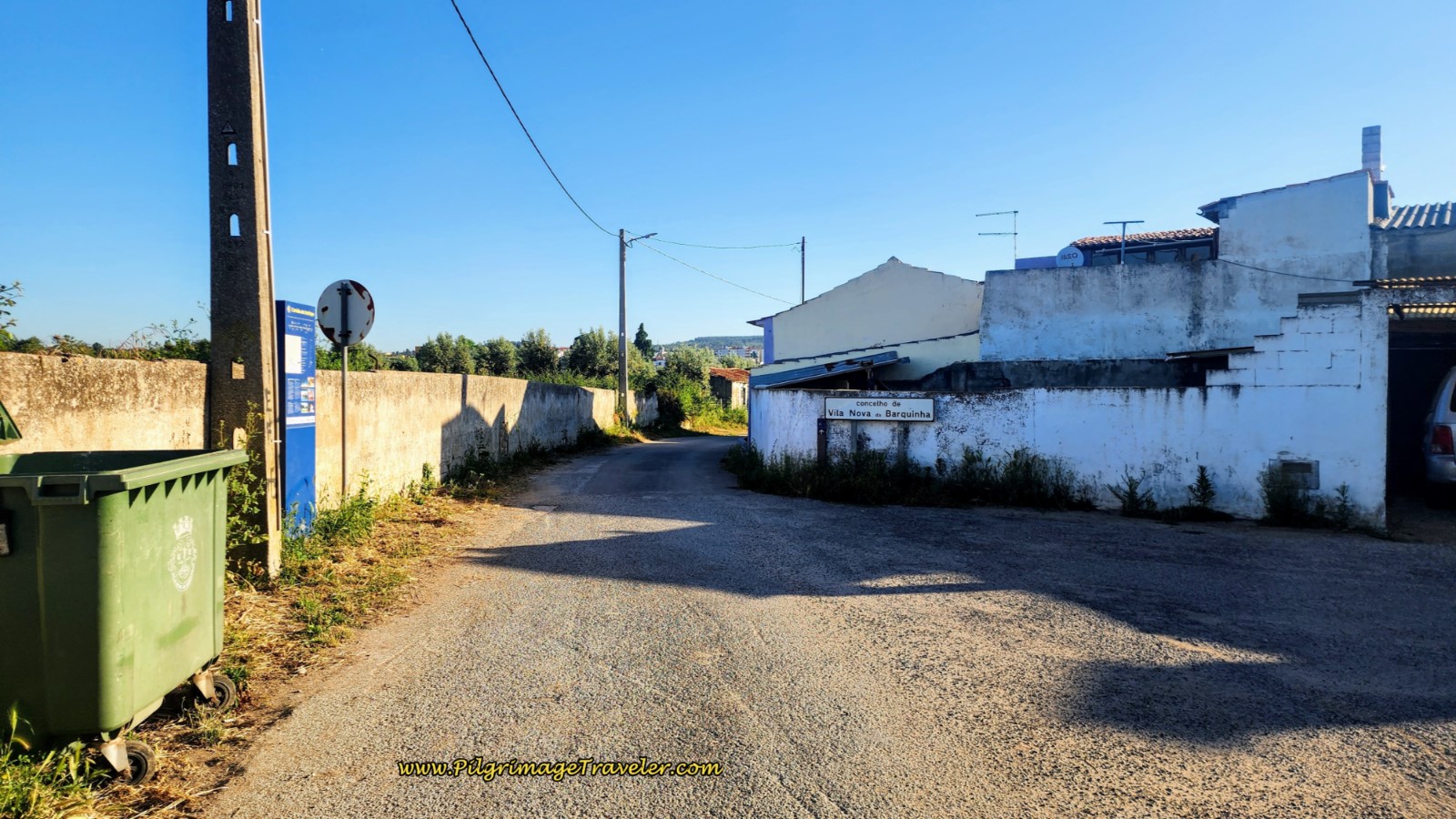 Entering Vila Nova da Barquinha
Continuing on the Rua do Pedregoso, while in town limits, it appears quite rural.
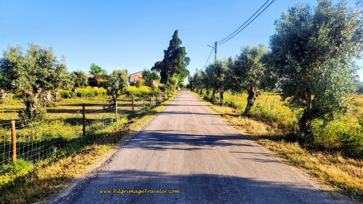 Walking on the Rua do Pedregoso
As you walk toward the center of town, there is a café if you need it. Look for the sign leading you to the right, just before crossing the main intersection with the N3.
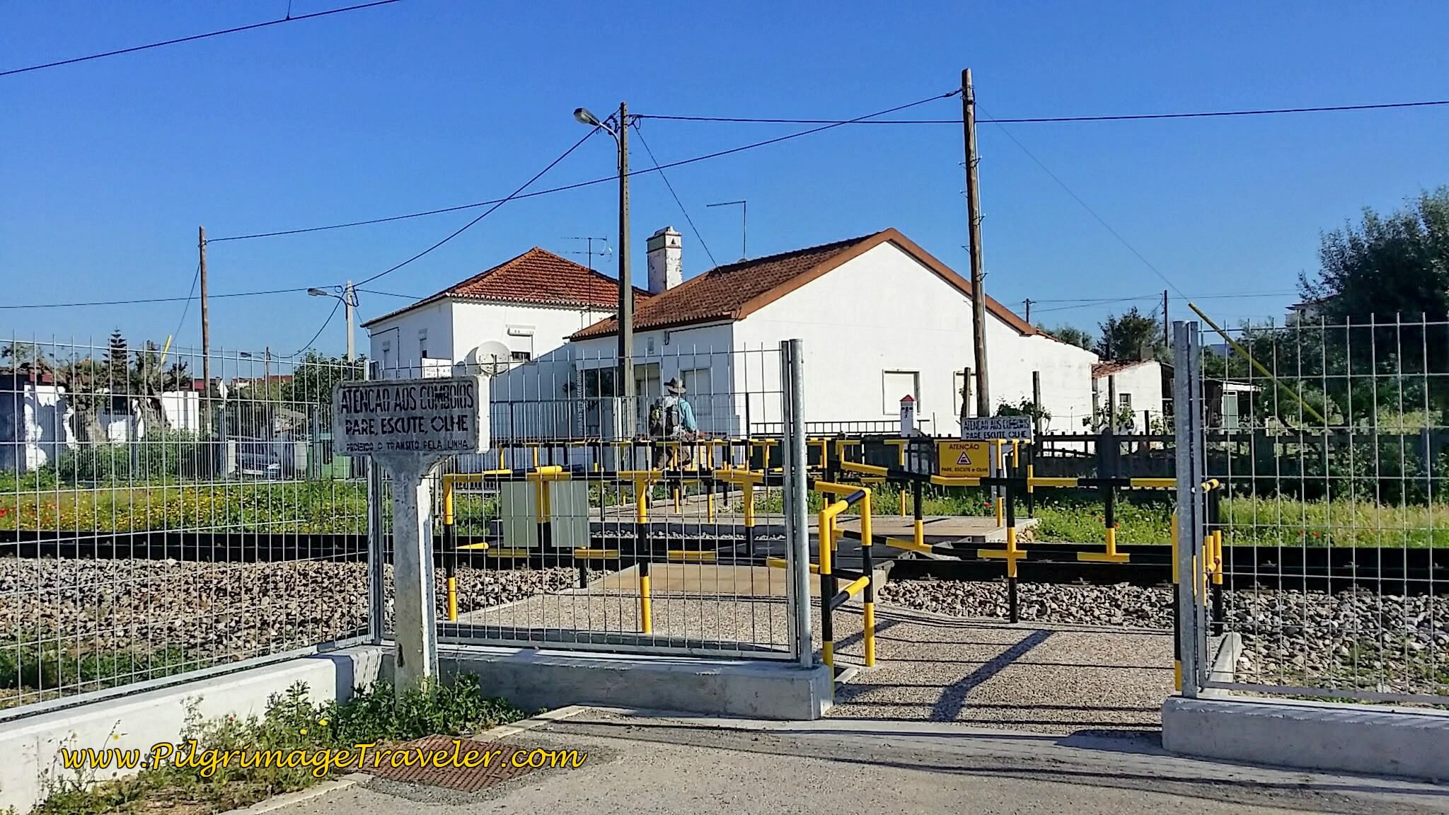
After crossing the N3, in the center of town, there is a very distinctive pedestrian railroad crossing, below.
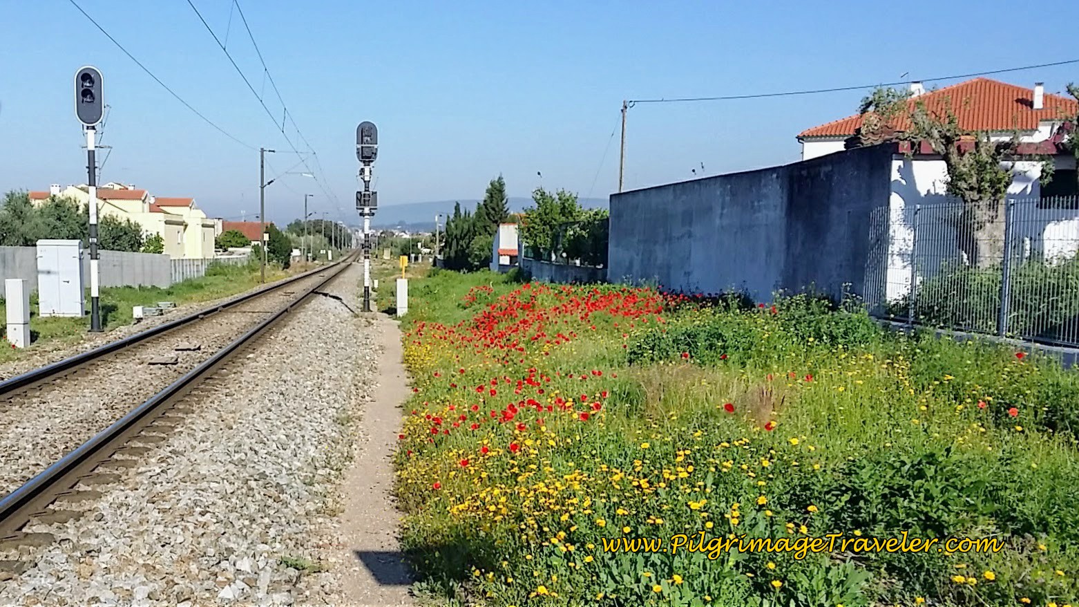
Looking down the tracks to the west, poppies and other wildflowers were in full bloom.
The actual town center is to the east of the Camino and there are several accommodations there, if you wish to walk off-Camino for more than a kilometer. Click here to see them.
On the north side of the tracks in the town of Moita do Norte is an economical accommodation, the Casa das Memórias, that gets good reviews from pilgrims.
After crossing the tracks, the Camino goes to the left, and after about 400 meters goes straight through at a large roundabout with an interesting sculpture of a white brick wall and this fountain on your right, pictured below.
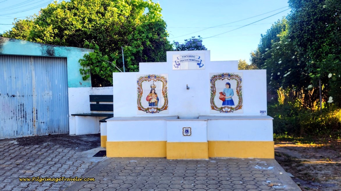 Pass Fountain in Moita do Norte
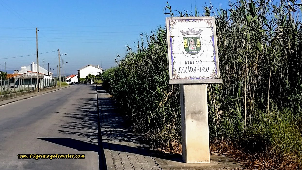
Continuing north and northwest on the road that changes names many times, until in not quite two more kilometers, you enter Atalaia, at this sign, about 10 kilometers into the day. You may have noticed that you have been steadily gaining in elevation, for the first time.
As you walk down this road, now named the Rua Dom Afonso Henriques, there is not much here but homes. I was getting discouraged, thinking I needed a rest break and a second cup of café con leite! (This story is from when we first walked this route. There is now an earlier café as noted above, and another one here in Atalaia, as noted farther below.)
Just when we walked almost all the way through Attalia, we spotted a "Sagres" sign after about 11 kilometers. Hallelujah! I was learning to adore the Sagres and/or Super Bock signs! It was a sure-fire way to find a rest break and something to eat and drink.
There was absolutely nothing else to identify this place as a café, other than the beer signs and the picnic tables! You can tell I was so happy to be here, by the photo below. I just couldn't mask my joy!
I made Rich snap a photo of me this time, because this place was truly the first open café we came to on day five of the Camino Portugués, and I wanted to make sure other pilgrimage travelers could find it, so check the map above. If this place is not open when you arrive, one block north and to the right one block is the Café Ponto de Encontro.
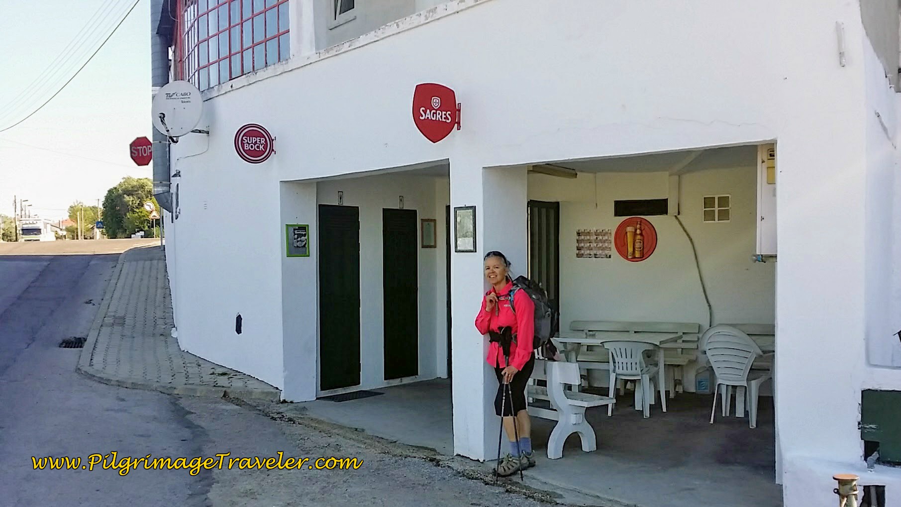 Bar Bock in Atalaia, Our First Rest Stop
During our break, Rich kept massaging his right arch. He says he is OK, but I vowed to keep an eye on him. We ordered sandwiches and coffee with milk and replenished our energy. Those continental breakfasts never last me much more than an hour or two.
After our 30 minute break, we were both trying to get back into the swing of the Camino. I was hurting everywhere! 20 more kilometers till a long rest day! I already felt beat. The worst was yet to come.
Shortly after the Bar Bock, the route continues onward, by a small square with a tower-like structure and a fountain. There are picnic benches as well if you wish to take a break here.
Within 350 meters after the square, you will join the N110, and shortly thereafter walk by the Casa do Patriarca, (+351 249 710 581), a place to end your day if desired. There is also the Casa Conceição farther west, in town.
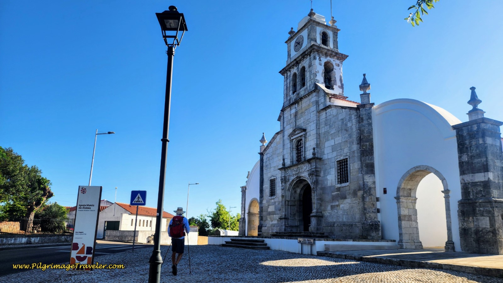
Almost immediately after the Casa do Patriarca, the pilgrimage traveler walks up a hill, past yet another fountain and to this National Monument, the Igreja Matriz de Atalaia.
I stopped to cross the street and snap a photo. As I was entering the crosswalk to return to the other side, I looked back and a taxi rushed by without stopping for the crosswalk! I glared at the taxi. And who was sitting in the taxi? None other than our Swiss friend!
I waved, but it was too late for him to notice. What were the odds that at the exact moment I was crossing the street that our friend would drive by?? Crazy destiny again, at its finest!
It was almost like the Barnacle was destined to be with us. Rich and I discussed this as we walked on. I did not like this coincidence at all. Our Swiss friend was on his way to a place in Tomar. He most likely would text us to let us know where he was. I did not know what destiny was asking of us here!
As we walked onward on the N110, the sidewalk ended and the pavement looked terrible! I was thinking oh #*$#!, and just then, a dirt road appeared off to the side, with the yellow arrow pointing to the right, to follow it. The dirt road turns into a wonderful, shady eucalyptus forest, after about exactly 12 kilometers into the day.
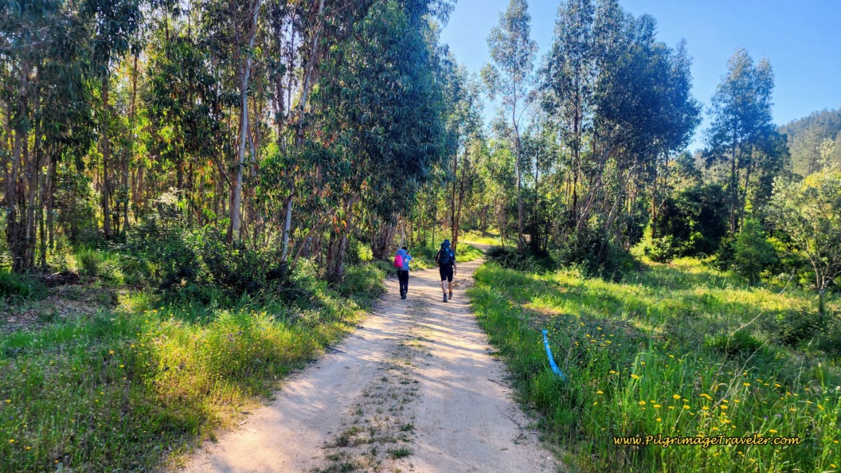 Camino Turns Off N110 and onto a Dirt Lane
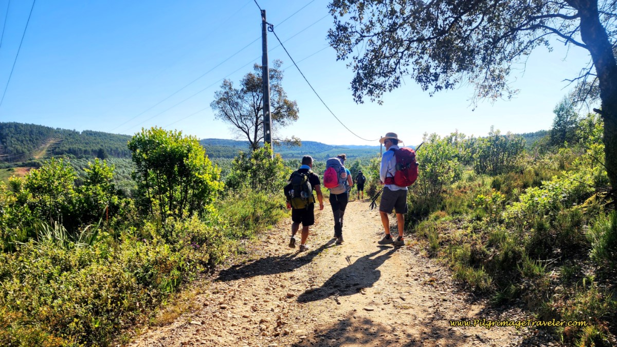
Now, for the first time, after the turn, we were climbing up a significant hill. This first hill is about a 60 meter (200 feet) gain over the next 800 meters. The eucalyptus trees and the mountains almost felt like we were on the Camino Primitivo as we left the hot, hot lowland finally! It sure felt different on our shins and our feet - I liked it a lot!
Going forward, you will stay on dirt lanes for more than five kilometers! There are many criss-crossing lanes through these rural and wooded sections, but the Way is very well signposted. All you need is to pay attention and not miss a turn like some of the pilgrims in this next group did!
And pictured below is the top of the first climb that you will reach after 12.8 kilometers.
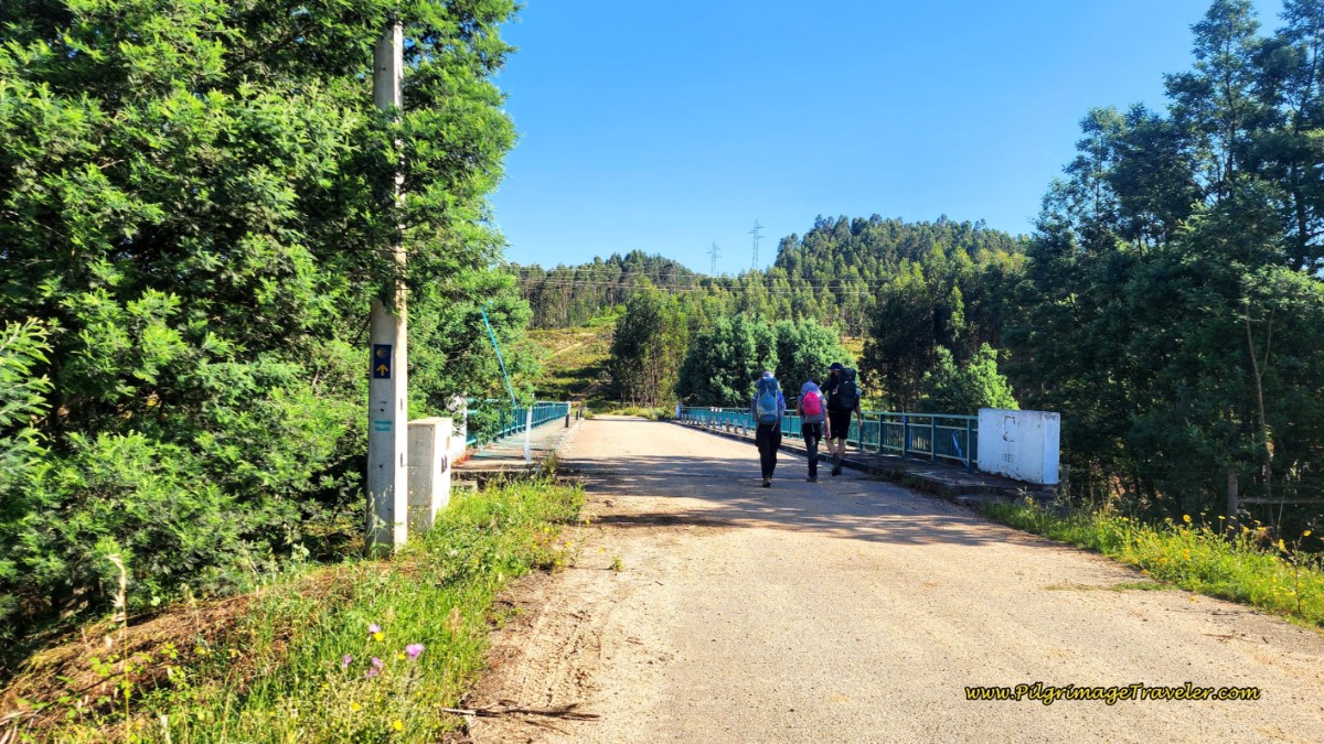
The dirt lane drops just as steeply on the other side and crosses over the A23, a busy motorway, on this bridge below.
After crossing the motorway, you can see the way ahead and the next hill you have to climb, below. Take note and take heart. It isn't all that bad. You will gain 50 meters over 1.2 kilometers on this second hill.
The second hill climb on day five of the Camino Portugués is on rough tractor lanes, so beware your footing. I actually took a tumble here, near the top. I fell backwards onto my backpack, and was unhurt, thank God!
The good news is that at the top of this second hill, you are about halfway through your day five on the Camino Portugués after 15 kilometers into the day.
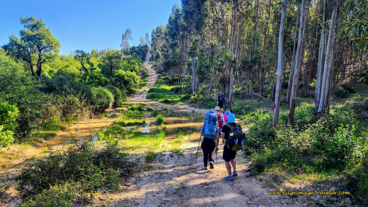
After taking the downhill on the other side, continue through the lovely eucalyptus forest.
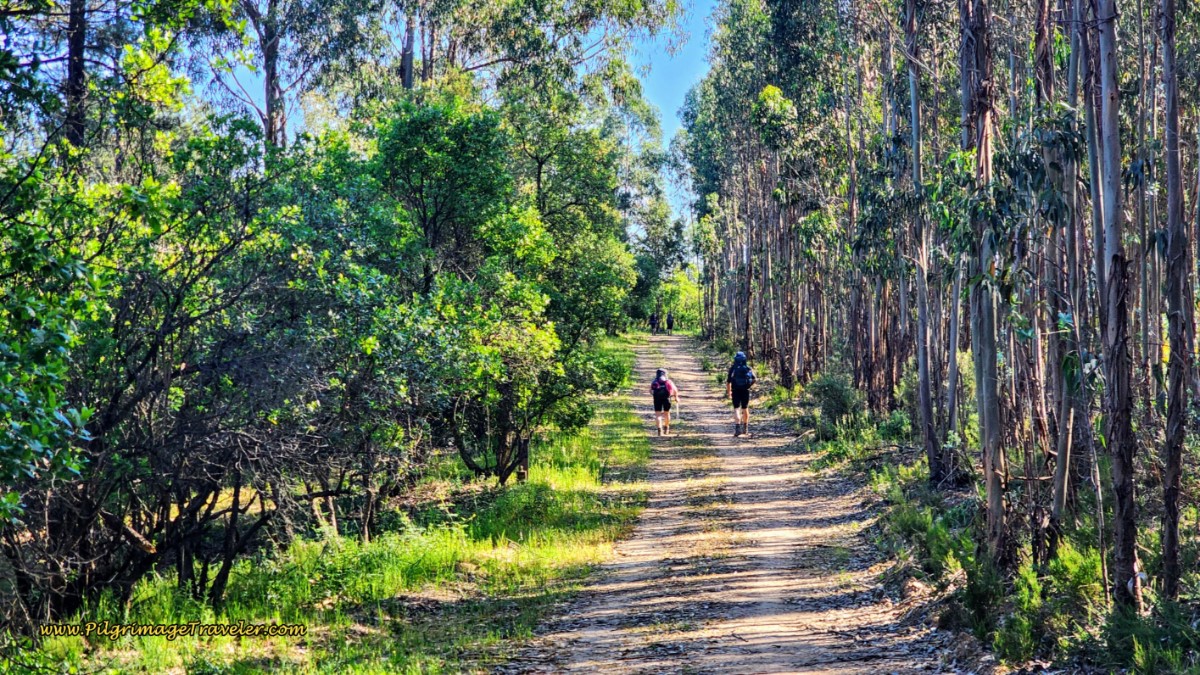 Continuing Through the Eucalyptus Forest
After approximately 16.1 kilometers, you will take a sharp right hand turn, onto a more open lane.
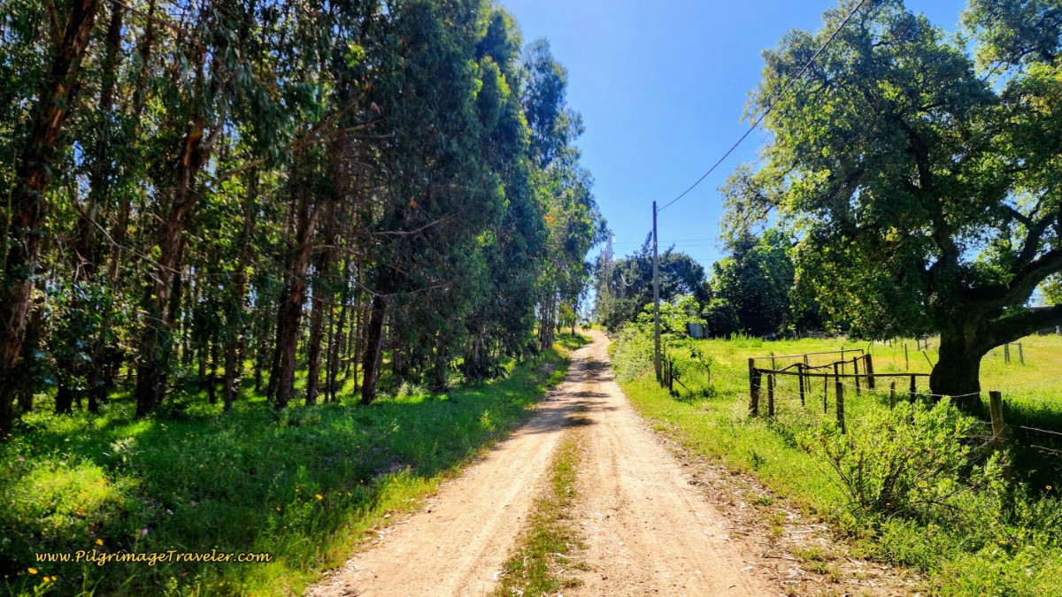 Turn Right onto Open Dirt Lane
400 meters later, a left turn and the next upward climb toward Grou is ahead, below, on wide open, hot lanes. The Camino gains about 50 meters over the next 600 meters distance.
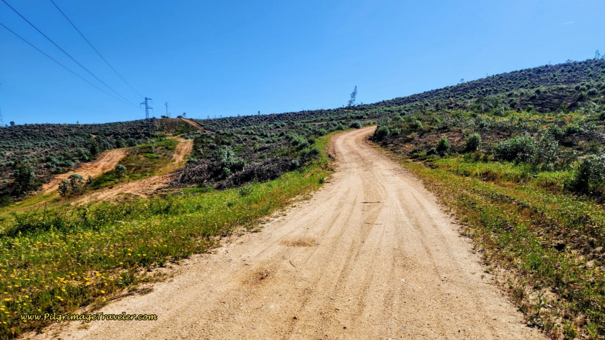 Climbing Toward Grou on Open, Hot Lanes
The going was tough for me. I find whenever the way gets tough, I want to voice journal. I voice journaled a lot during this section. The hill doesn't look like much on the map, but it was still painful and quite hot. Rich was really limping and I was getting really, really concerned about him. I didn't want to kill him for the rest of the Camino. Yet he carried on somehow.
When you reach this waymark, on an irrigation station, below, you are essentially at the top of the third big climb after 16.9 kilometers! There are at least wonderful wide open views at the top.
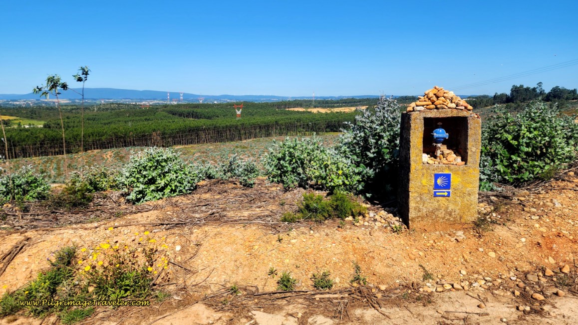 The Top of the Final Big Climb
Unfortunately, when we reached this intersection with the Rua Nossa Senhora dos Caminhos in the town of Grou, after 17.4 kilometers, the dirt road and forest way were left behind for most of the remainder of day five. Nothing much left now but pavement and the heat of the open road. I wished I felt like persistent, cool and flowing water. I did not.
There is not much to the town of Grou, and nothing for the pilgrimage traveler, except for a colorful fountain about half-way through on the right hand side.
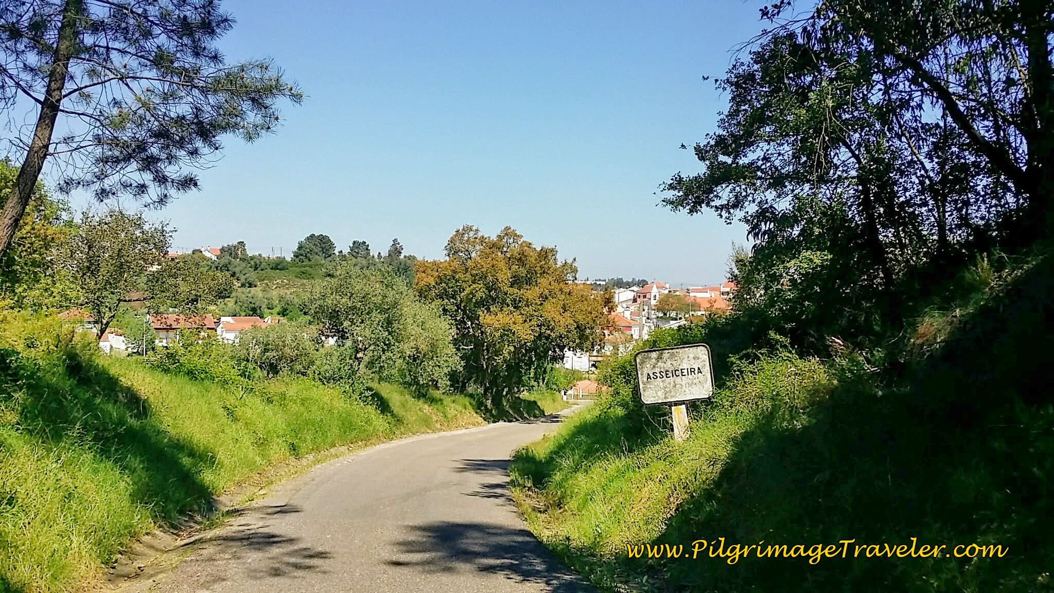
After walking through town, it is a descent on pavement through the countryside into the next town of Asseiceira, below. By Asseiceira we had completed about 2/3rds of our day five on the Camino Portugués. During the 2nd third of the day, everything started to hurt. My feet felt like they were on fire.
Not even 100 meters past the town sign you will encounter the local parochial Albergue D. Dinis, after about 19 kilometers, total, on the right side, with 5 beds and a kitchen!
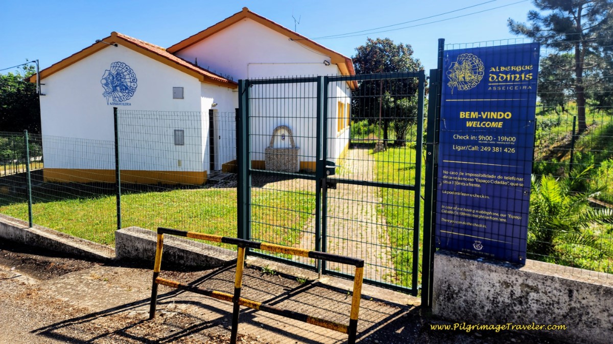 Albergue D. Dinis
Jump to Camino Portugués Stages
We were now beginning our walk of the third leg of the day. We had a picnic in the eucalyptus forest, just before Accesseria. I took my shoes and socks off, and laid down on my space blanket with my feet raised high in the air. It was very reviving. I took my first 600 mg dose of Ibuprofen to ease the pain for the remainder of our journey.
As you walk through the center of Asseiceira, just beyond this photo, below, there are several cafés and a minimarket if you wish to take a break in town.
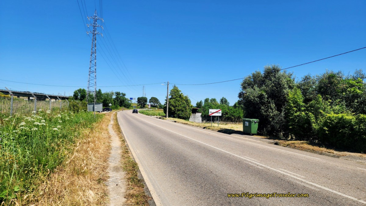
We walked down the hill, through Asseiceira on the pavement, joining the N11o after about 20.3 kilometers total. After another 1.1 kilometers, at this landmark industry, below, you enter the next town of Guerreira.
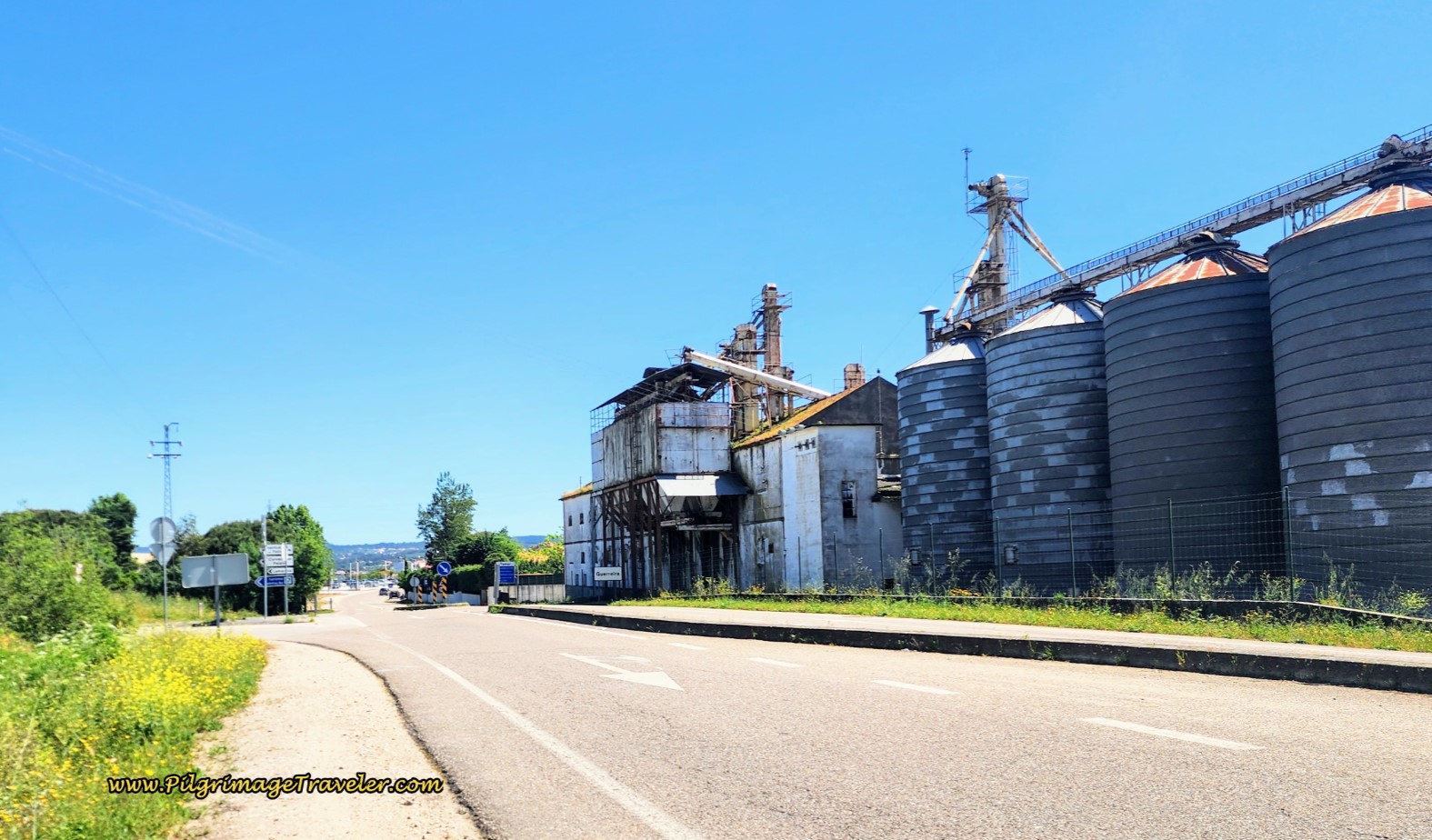 Sign for Guerreira on the N110
We were about 8 kilometers out from Tomar. And we carried on. We continued walking on the N110 for what felt like a long, long time, in the open flippin' sun with no shade, and through more industries. You will actually remain on the N110 for a full 2.7 kilometers!
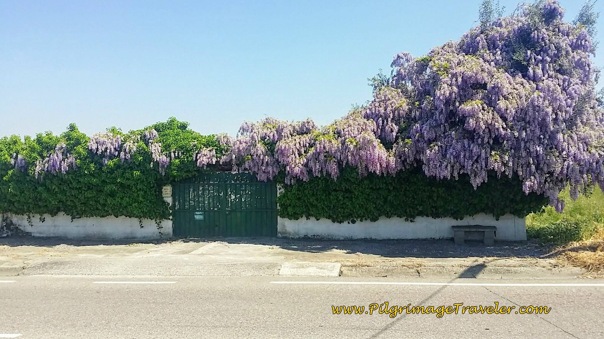
To help distract me, the Camino provided these lovely Wisteria. I continued to be amazed how they grew wild all over Portugal.
The final long stretch on the N110, is shown below. There is no shoulder, but a well-worn pilgrim's path as you can see.
Next, you will approach this large double roundabout where the N110 crosses under the A13 (IC-3).
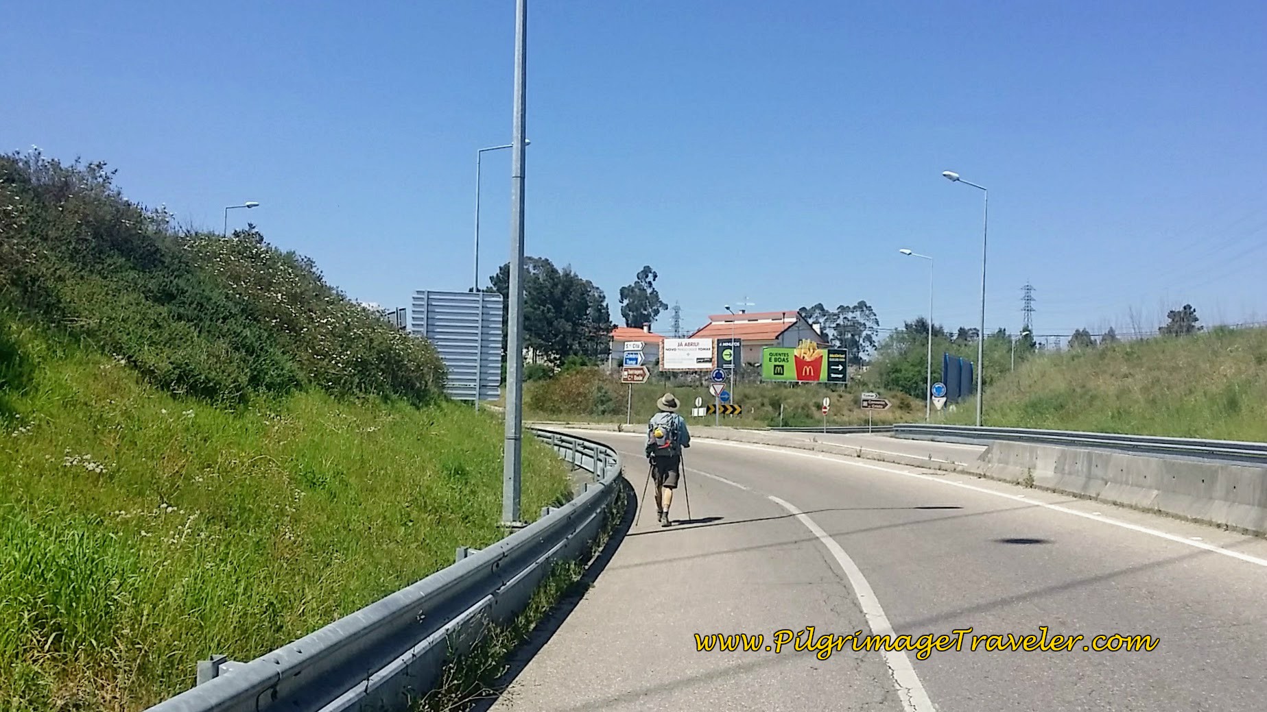 The N110 Crosses the A13 at this Roundabout
After walking under the A13, about 300 meters past the second roundabout, you will veer right, off the N110 and onto the CM1134, which parallels the N110 northward.
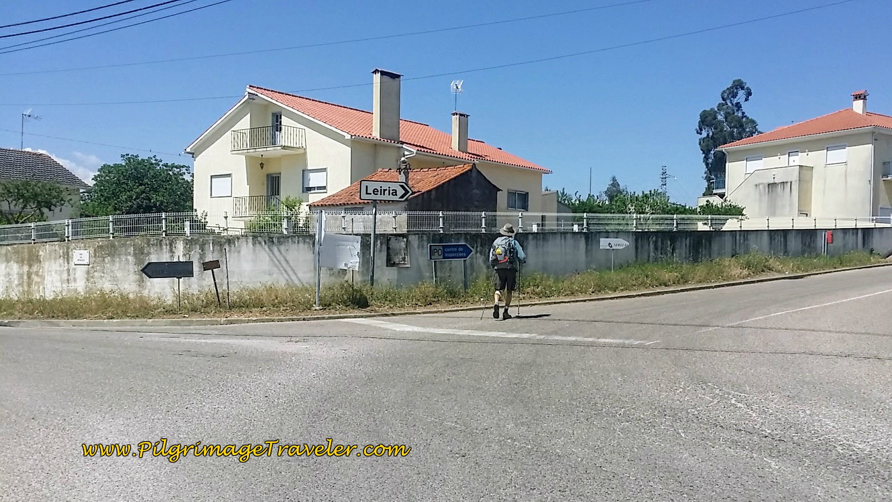 Turn right on the CM1134
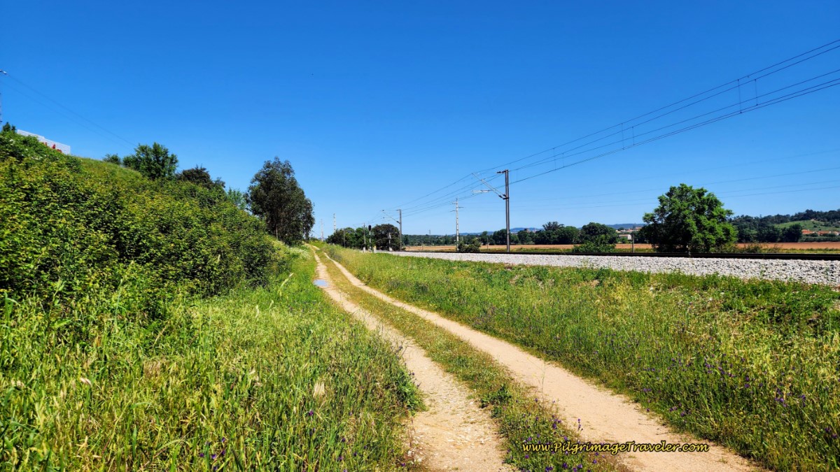
Soon after this right turn, above, you cross the railroad tracks on a bridge. Look closely after the bridge, as the Way turns right abruptly onto this nice dirt track and follows the railroad tracks. The N110 is just to the East of the tracks.
The route opens up and brings you out to the municipality of Carvalhos de Figueiredo, about 24.7 kilometers total, shown below.
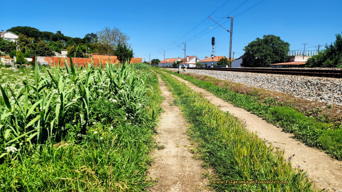 Walking Into Carvalhos de Figueiredo
We walked through the small town of Carvalhos de Figueiredo, after about 24.7 kilometers total.
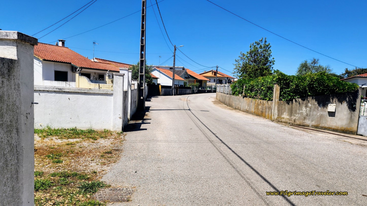 Walk through Carvalhos de Figueiredo
On the way through town we passed yet another fountain!
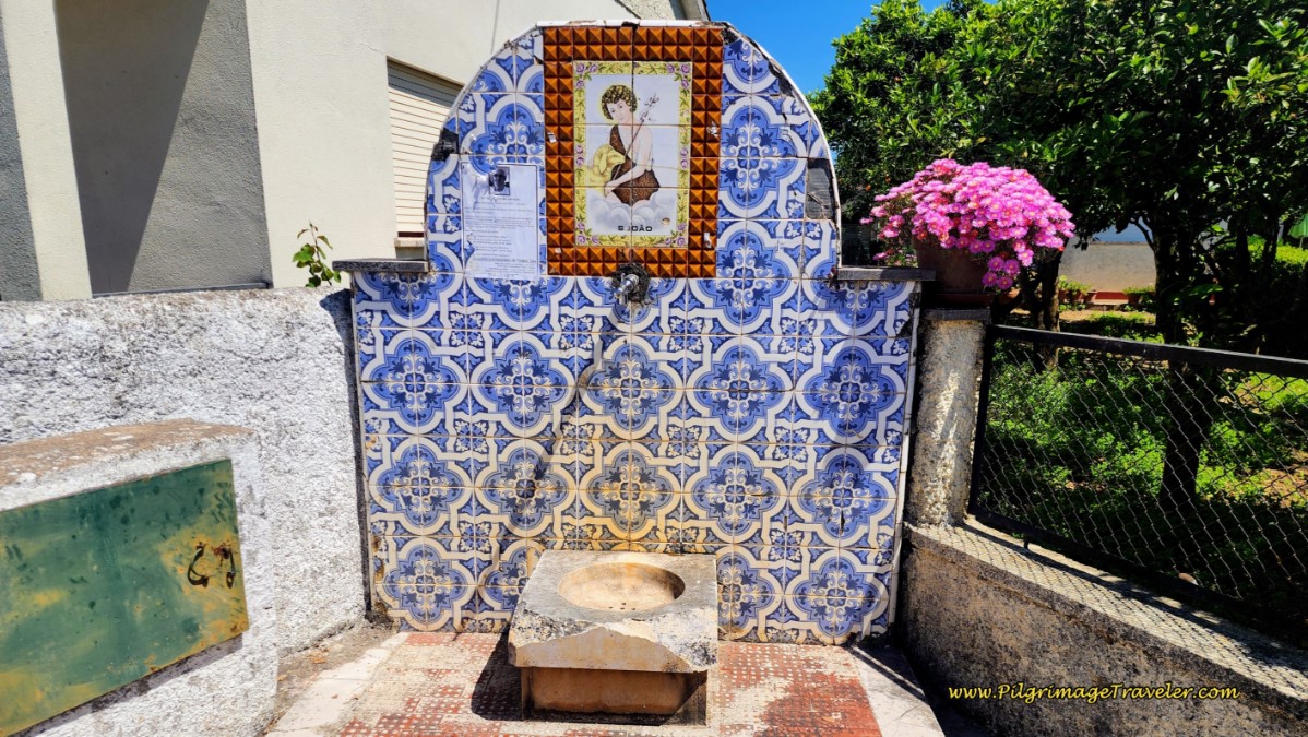 Carvalhos de Figueiredo Fountain
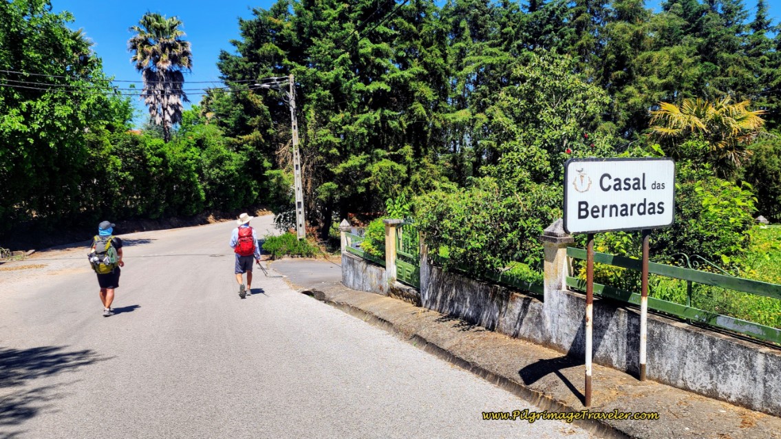
Only a few meters after leaving Carvalhos de Figueiredo, we walked past the sign to Casal das Bernardas.
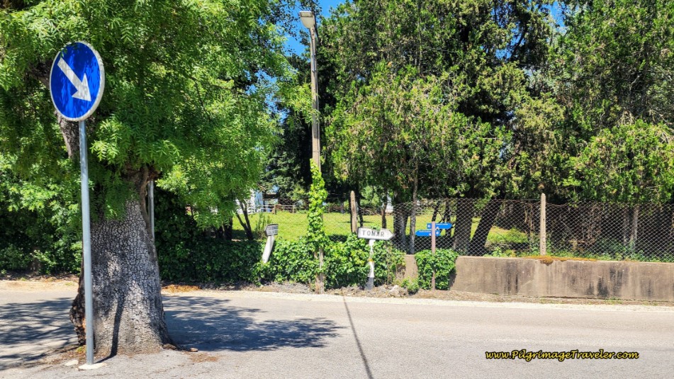
Less than one kilometer later, when we reached this intersection with the CM1134, below, a mere 3.5 kilometers or so from Tomar, I rejoiced at the sign pointing right and down a hill to Tomar! I could even see and smell the town! I was so happy to be so close to Tomar. My happiness was quickly squelched when the small blue sign pointed to the left. What?
So, of course we turned left. The intersection is after about 26.4 kilometers into the day.
However, if you look more closely at the small blue sign in the photo above, there are two routes from which to choose! To the left is the designated Camino for walkers, and to the right, is the bicycle route.
The bicycle route joins the N110 after 350 meters, and this photo below shows what the walker faces. Absolutely no safe place to walk! And the traffic comes by fast. At a later when time we chose this route, we were forced to walk with the traffic on the right side of the road, because of the tall weeds on the left. We kept looking over our shoulders and would jump into the tall grass whenever a vehicle approached! Not nice at all! Think carefully before you choose to walk this way!
Along the N110, there is a bit of a shoulder or lane here and there to walk more safely upon, but for most of this 1.2 kilometer stretch there is nothing, until the Chapel of São Lourenço, where the walking route joins the N110 farther north, see the photo farther below.
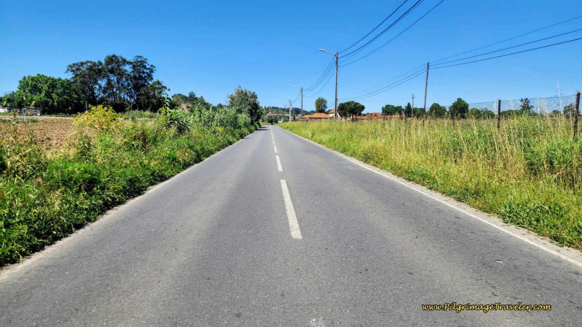 Bicycle Route Along the N110
Back on the walkers route at the intersection with the CM1134, our first time through, I was facing my angry time of day. I could see Tomar down there. After turning left, the Camino made us climb up a hill in the opposite direction, diverting us on a longer route to the west.
I kept asking Rich - are you sure you saw the waymark taking us this way? When was the last yellow arrow you saw? I just did not want to go this way.
I thought we should be in Tomar by now. All I wanted was to find solace from the sun. There was no café along this final section. I was completely out of water and food. Rich pulled out peanut brittle he had left and shared with me. It got me up the hill that seemed to go on forever, pictured below. OMG, I'm thinking WTF is this and this GD hill?? (Excuse the expletives. Sometimes, I suppose, other words just don't suffice).
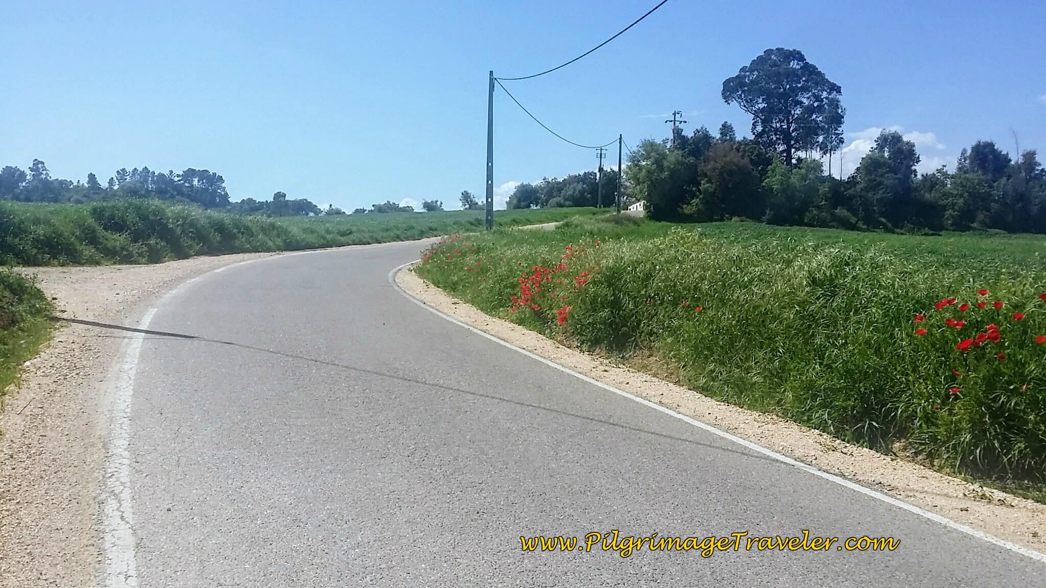 Up Long, Hot Hill on Pavement
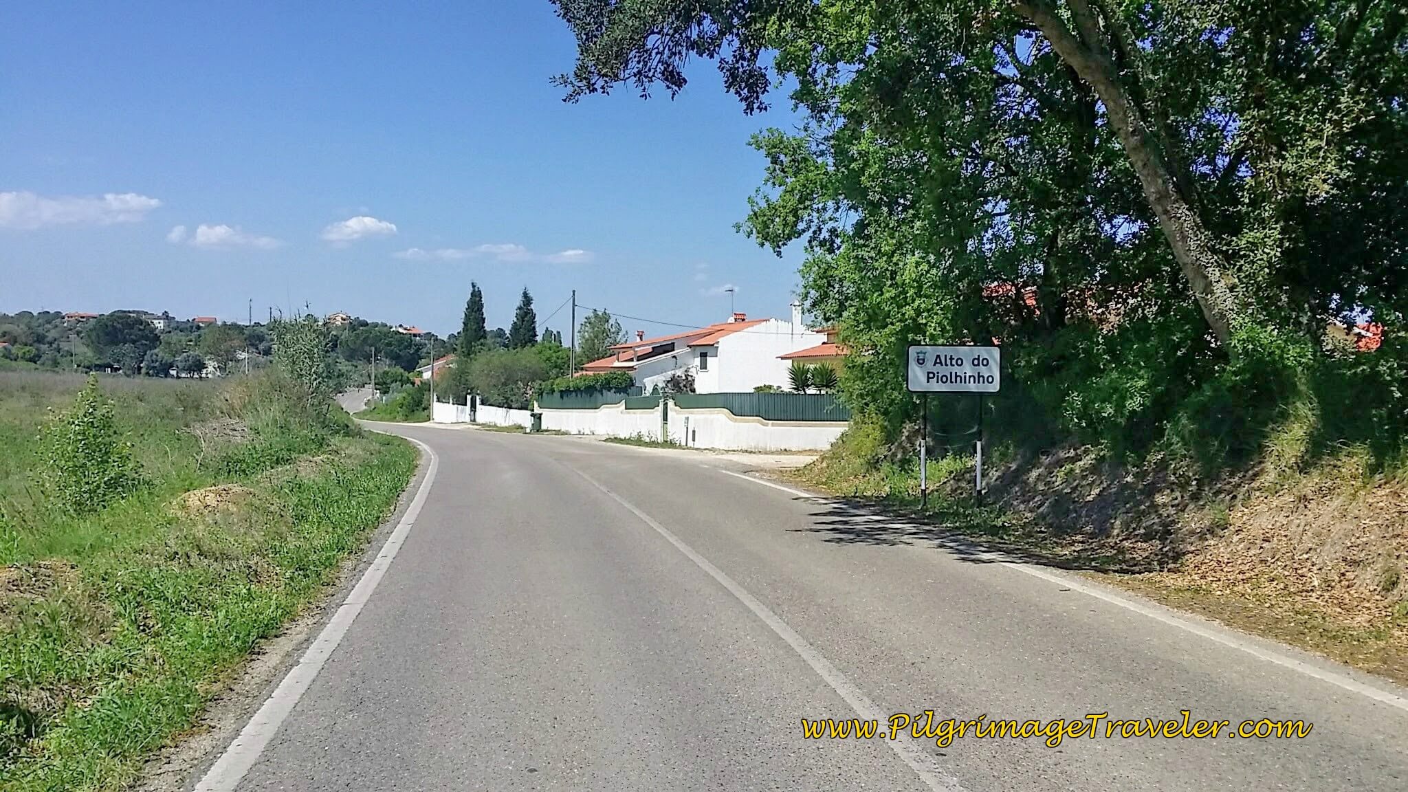
Then at last we reached the "alto" or top when this sign greeted us, at Alto do Piolhinho after 27.9 total kilometers. A small town. No café. We plugged on. Be like water, soft and persistent...
Now I was thinking and voice journaling that in the earlier days on the CP, I didn't bonk like I was today. There are indeed more hills now. We just couldn't believe that we were climbing up another hill at the end of the day. On a diversion, no less! (As it turns out this diversion is only about ½ kilometer longer than walking along the N110 on the bicycle route, so you can make an informed choice as to whether or not walking on a quiet road is more important to you and your Camino!)
My energy level was so low. The last hot hours were wretched for me and just killed me. The final kilometers always, always take longer than I think they should!
Then just as suddenly as we reached the top of the hill, the Camino turned right onto the Rua Nova de São Lourenço, and several hundred meters later, took us down into the town of São Lourenço.
As you enter town, you will see the railroad tracks ahead, but the road takes a big bend to the left. At this bend, look to the left for a white concrete barrier enclosing a ramp. On the corner is a yellow arrow and around the bend a few meters later, a waymark leading you down the ramp to a tunnel, and under the RR tracks. These are the same railroad tracks that you have been following earlier.
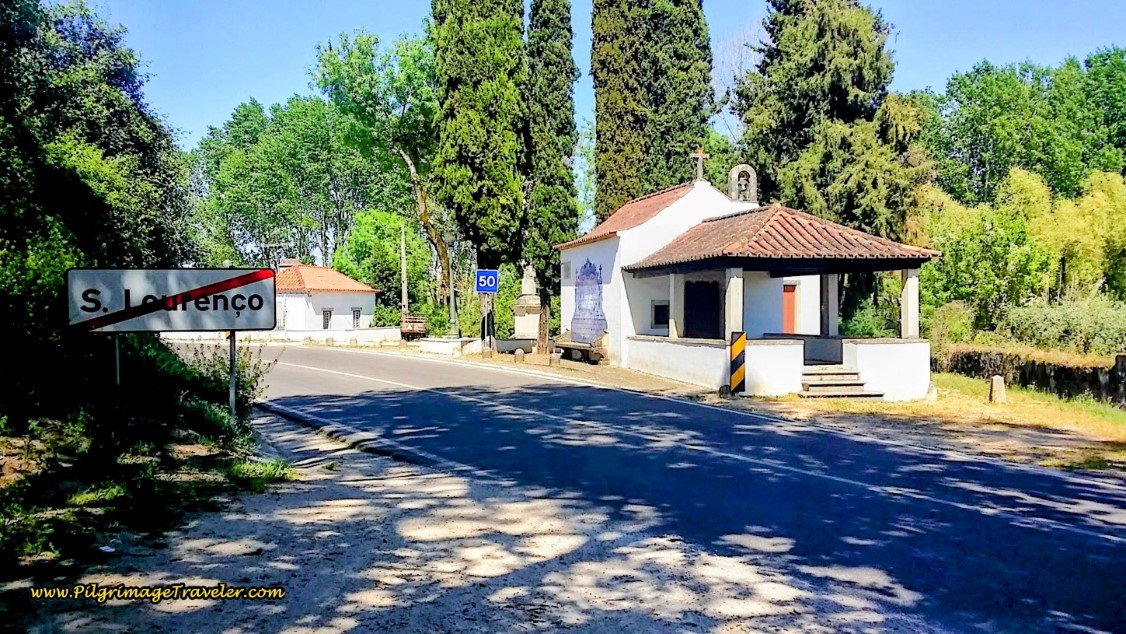
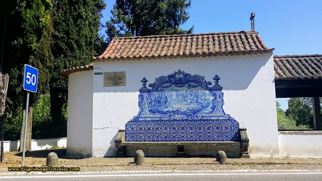
The tunnel comes to a walkway that leads you out at a café and the N110. Take a left turn onto the N110 and a few meters later is the gorgeous Capela de São Lourenço by the Nabão River.
The sight of the chapel immediately lifted my spirits. Despite the fact that I was out of water, exhausted and hungry, I longed to stay at this beautiful place for a while. Below is a close-up of the gorgeous azulejo mural on the side of the chapel. The chapel was closed, so we were unable to have a look inside.
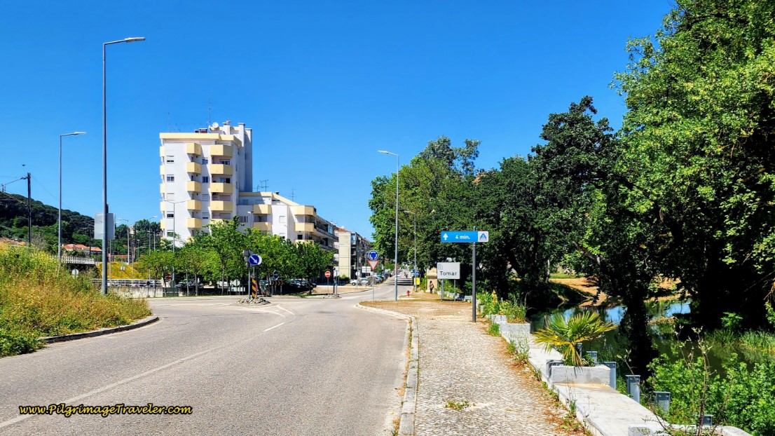
In a couple hundred more meters after the chapel, following the N110 and the Rio Nabão, you come to this large roundabout and the sign that you are entering Tomar. Yay!
We had finally arrived in town around 3:30 in the afternoon on day five of our Camino Portugués. We had both made it.
We stopped at the first open café and had two coca cola zeros and two pastel de natas to revive us! Rich looks like he needs reviving in this photo, doesn't he? I am so glad that he had no energy to take my photo!
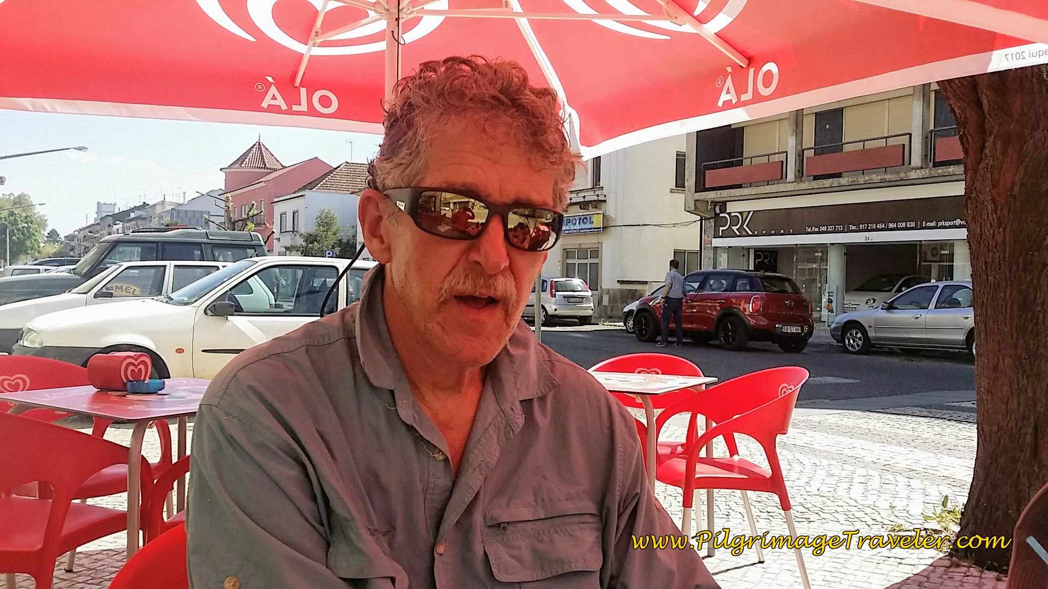 Rich Looking a Little Rough Around the Edges
After our break, we made quick work of walking to the center of Tomar, continuing along the N110. No sooner did we enter the main circle in town, when there on the street was our Swiss friend trying to find us! He was very happy to see us and was wanting to go get a beer with us right away.
We were so hot and exhausted. The sun was so brutal, at around 82 degrees and the pavement hill climb to Alto do Piolhinho had been so grueling. We said no, we needed an hour and a half off to rest and regroup.
We finally made it to the Hostel 2300 Tomar at 4:30. We agreed to meet up with our Swiss friend at 6:00. He was staying in another Residencia. He said the Hostal 2300 Tomar was not in his guide book. Go figure.
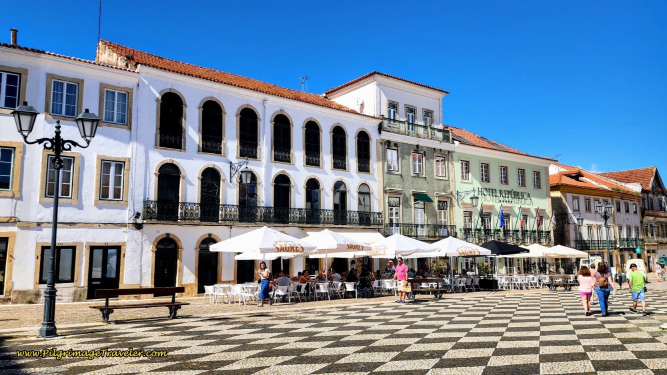
The Hostal 2300 Tomar is a wonderful private albergue-type place, with private rooms as well. Click on the link to see the photos of it, just mere blocks from the main square, the Praça da República, shown below. It is economical, breakfast is included and the staff is marvelous. We booked a private room with a shared bath.
For more available accommodations in Tomar click here. There are no municipal albergues, but aside from the Hostal 2300 Tomar in the center of town, there is one more private hostel with dormitory-style rooms, the Residencial Avenida Hostel, along the Camino just as you enter town. Consult the map for their exact locations. We have also stayed here and it is very nice, clean and with very helpful and friendly staff.
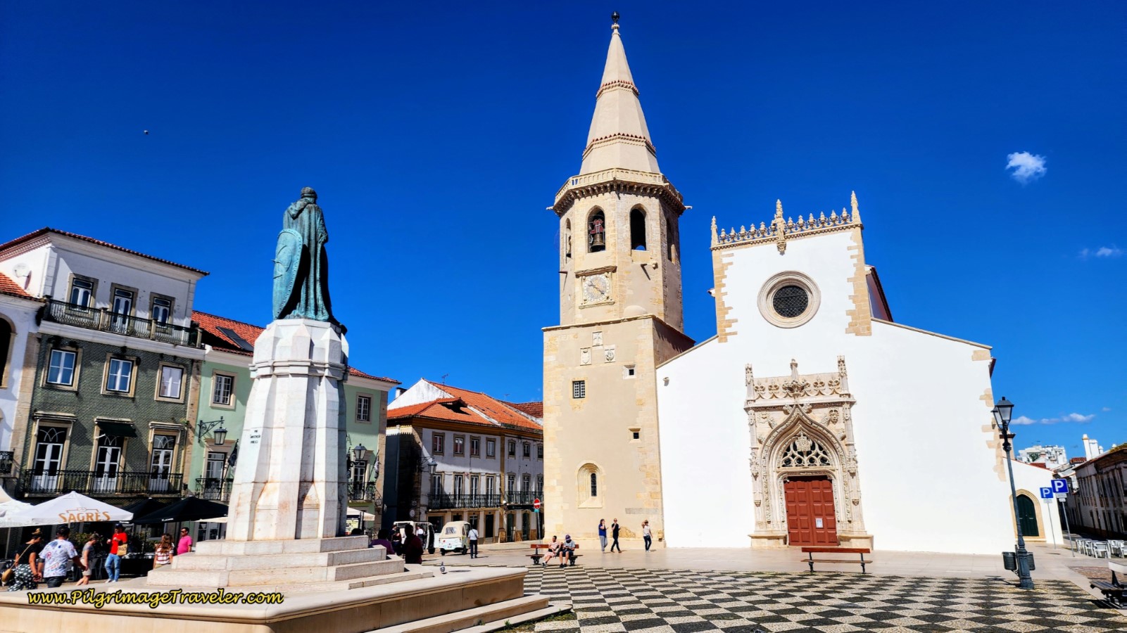
After regrouping and meeting up with our Swiss friend, we landed at a café in the square for drinks. While Rich and our Swiss friend celebrated with beers, I wandered around the fascinating square, with the church of São João Baptista (St. John the Baptist) as the anchor.
In the center of the square is a statue to the founder of Tomar, Gualdim Pais. We had a lovely happy hour, gazing at these monuments and the Knights Templar castle looming over us.
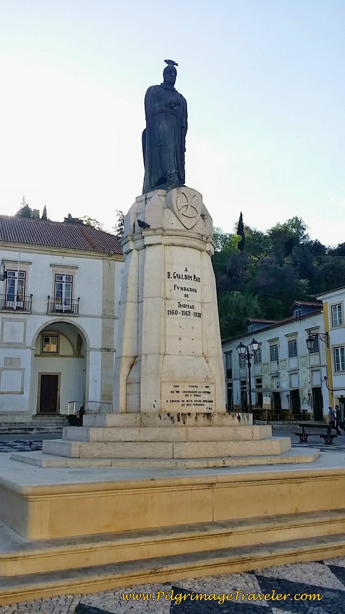 Statue of Gualdim Pais ~ Founder of Tomar
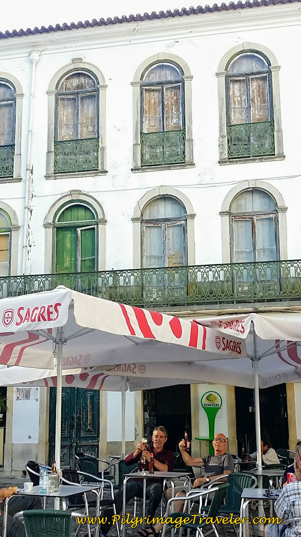 Celebration at a Café in the Republic Plaza
No restaurants in Tomar open prior to 7:00 p.m. We finally found an Italian restaurant that our Swiss friend had been dying for. Rich had Carbonara, I had a dish with pasta, chilis and salami. It was all very delicious.
Our Swiss friend announced at dinner that he was leaving the next day to go by train to Porto. It was too hot for him to walk and he did not want to put himself through the stress of it.
His boots were too small and his weight was too much, but he was never convinced that what he was doing wasn't normal! He said repeatedly that how he was equipped was all normal! 10 kg was a normal weight. However, we knew that his pack weighed way more than 10 kg. If he wanted to continue to drag on with these issues, it was indeed up to him after all.
I asked him to keep in touch and let us know how he was doing. He was planning to walk the Camino from Porto and see if he liked it from there. I was very interested to see how he would fare going forward, and if he continued on the pilgrimage from Porto.
(As it turned out, we never did hear from our Swiss friend again. My heart silently knew that he was not into the pilgrimage, nor was he into the Portuguese culture. I hoped that we did not spoil his pilgrimage by having him follow ours, yet I will never know for sure what he truly felt. What will be will be and I quickly let it go, despite trying to reach him over the next several days.)
Somehow, while relieved to finally be free of our Barnacle, I was not particularly happy to see him go.
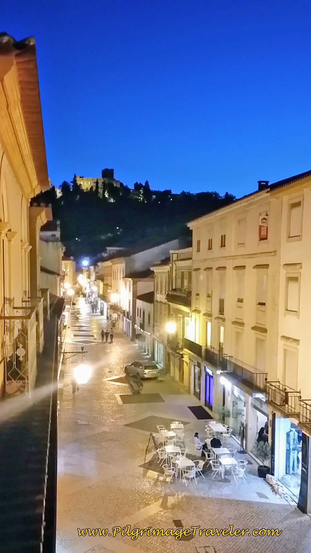
And finally, I leave you with our view from our private room in the Hostal 2300 Tomar! The night sky over the castle was a gorgeous end to our day. We looked forward to exploring the town the next day.
We went to bed at 10:00 p.m., so very exhausted, but I still had trouble falling asleep. I woke up at 3:30 a.m. with crap going through my head, like "What am I doing here? Why am I even walking? I don't want to walk! Its too much. What's the purpose? I've been here before. Yeah, I can write about all this but what's the point?" and so on and so forth.
While these questions I knew were rhetorical and their answers had to be discovered with each and every footstep, nonetheless, they bothered me in the semi-conscious moment!
Jump to Camino Portugués Stages
Lessons Learned on Day Five, Camino Portugués
I felt like it was a miracle that I had not developed any blisters so far. The Camino is humbling for everyone and the Barnacle reminded us of this over and over again. Rich's limp and blisters reminded us as well. I had escaped any real physical trauma at this point, thank God. I was doing OK. I had to watch out for Rich. I was grateful for the day off the next day.
I guess we taught our Swiss friend a bit about being a pilgrim, but honestly, it felt to me like, because he was too stubborn-headed to change his ways, that he wouldn't make it after Porto either. Most likely something will be wrong, whether it be the heat, blisters, improper gear or lack of persistence. We will never know how he fared!
Our Swiss friend thought 20-25 kilometers a day was enough, and I agreed that this would be good for us too.
The truth of the matter was, I wanted to walk the Camino without having to do my time. I wanted a shortcut and there was none. Maybe our Swiss friend knew his limitations, and we did not? Maybe our Swiss friend taught us more than we taught him?
We just had to look at shorter stages. The 30 kilometer days were just too much. I thought I would be able to do this amount, and maybe, with a rest day I probably could continue. Time would tell.
I treated Rich's blister the prior night and it was nasty. We stuck a needle and thread through the one big one on the top of his little toe on the right foot and so much fluid came out it was unbelievable. The second one under the nail of the same little toe I also poked a needle through. I put a natural tea tree oil antiseptic on it and a Compeed bandage. His plan was to only wear his sandals the next day, walking around Tomar.
Tonight, the blisters actually looked better. The thread that I left in the blisters actually worked to keep the fluid draining, and gave him less pressure on his foot. I left the Compeed on, but I could tell, the toe was less swollen.
I actually started re-thinking my own pack weight. I considered sending my warmer clothes on ahead to Santiago, since I most certainly didn't need them here! However, I had the memory of a cold, wet Galicia, and I never did send anything ahead. This would turn out to be the wise choice, as you will see if you read on throughout my journey. I eventually used every item in my pack as the climate got cooler the farther north we walked.
Regardless, we had some sight seeing, resting and talking to do the following day in Tomar!
Salutation
May your own day five on the Camino Portugués bring you the persistence that you need. May you learn more about yourself and your capabilities as you trek onward towards Santiago de Compostela! May the discoveries be many, and may the rocks wear down in your presence!
Camino Portugués Overview
Camino Portugués Stages
Central Route: Lisbon to Porto Stages
Central Route: Porto to Santiago Stages
Senda Litoral or the Coastal Routes: Porto to Santiago Stages
Skip to Central Route Above, for Final Days 22-25 to Santiago
Variante Espiritual Stages
Please Consider Showing Your Support
Many readers contact me, Elle, to thank me for all the time and care that I have spent creating this informative website. If you have been truly blessed by my efforts, have not purchased an eBook, yet wish to contribute, I am exeedingly grateful. Thank you!
Search This Website:
🙋♀️ Why Trust Us at the Pilgrimage Traveler?

We’re not a travel agency ~ we’re fellow pilgrims! (See About Us)
We've trekked Pilgrimage Routes Across Europe since 2014!
💬 We’ve:
- Gotten lost so you don’t have to. 😉
- Followed waymarks in the glowing sunlight, the pouring rain and by moonlight. ☀️🌧️🌙
- Slept in albergues, hostels & casa rurals. Ate and drank in cafés along the way. 🛌 😴
- Created comprehensive and downloadable GPS maps and eBook Guides, full of must-have information based on real pilgrimage travels. 🧭 🗺️
- Shared our complete journeys, step by step to help YOU plan your ultimate pilgrimage and walk with your own Heart and Soul. 💙✨
Every detail is from our own experiences. Just fellow pilgrims sharing the Way. We have added a touch of spirituality, heartfelt insights and practical guidance from the road ~ offering a genuine connection to the spirit of pilgrimage. Tap into the wisdom of seasoned pilgrims!
Ultreia and Safe Pilgrimage Travels, Caminante! 💫 💚 🤍
Follow Me on Pinterest:
Find the Pilgrimage Traveler on Facebook:
Like / Share this page on Facebook:
***All Banners, Amazon, Roamless and Booking.com links on this website are affiliate links. As an Amazon associate and a Booking.com associate, the Pilgrimage Traveler website will earn from qualifying purchases when you click on these links, at no cost to you. We sincerely thank you as this is a pilgrim-supported website***
PS: Our eBook Guide books are of our own creation and we appreciate your purchase of those too!!
Shroud Yourself in Mystery, along the Via de Francesco!
Walk in the Footsteps of St. Francis, and Connect Deeply with the Saint and to Nature in the Marvelous Italian Countryside!
Need suggestions on what to pack for your next pilgrimage? Click Here or on the photo below!
Find the Best Hotel Deals Using This Tool!
Carbon Trekking Poles ~ My Favorites!
Carbon fiber construction (not aluminum) in a trekking pole makes them ultra lightweight. We like the Z-Pole style from Black Diamond so we can hide our poles in our pack from potential thieves before getting to our albergue! There are many to choose from! (See more of our gear recommendations! )
Gregory BackPack ~ My Favorite Brand
Do not forget your quick-dry microfiber towel!





















Your Opinion Matters! Comments
Have you had a similar experience, have some advice to give, or have something else you'd like to share? We would love to hear from you! Please leave us a comment in the box below.