- ~ Home
- ~ Camino Portugués (The Portuguese Way)
- Day Fourteen, São João da Madeira to Porto
Jump to Camino Portugués Stages
Day Fourteen on the Camino Portugués
~ São João da Madeira to Porto, 33.6 Km (20.09 Miles)
Disclosure: the PilgrimageTraveler.com is an associate of Booking.com, Roamless, and Amazon. As associates of these merchants, we earn from qualifying purchases from our links.
Our day fourteen on the Camino Portugués was a very, very long day, filled with enchanting walks on Roman roads, an antique Monastery in Grijó and azulejo-tiled churches.
We were both excited and sad for this day. While we wanted to place the milestone of 400 kilometers under our belt, and while we looked forward to the city of Porto, we were sad that the face of the Camino would change afterward.
We walked day fourteen in two sections. The first from São João da Madeira to Vila Nova de Gaia, a southern suburb of Porto. We walked the last two kilometers into the center of Porto the following day. The reason for this is that we had hotel points saved up from the Holiday Inn, that we used in Vila Nova de Gaia, a southern suburb of Porto. It was such a treat to stay here, midway in our pilgrimage! However, I present the article as if we had walked the entire way in one day.
If you desire to have advance reservations in Porto, click here. It may not be a bad idea in high season or on the weekends.
"Blessed are you pilgrim, when you don't have words to give thanks for everything that surprises you at every twist and turn of the way." ~ From the Beatitudes of the Pilgrim, slide show in the Pilgrim's Office Chapel in Santiago
🙋♀️ Why Trust Us at the Pilgrimage Traveler?
We’re not a travel agency ~ we’re fellow pilgrims! (See About Us)
We've trekked Pilgrimage Routes Across Europe since 2014!
💬 We’ve:
- Gotten lost so you don’t have to. 😉
- Followed waymarks in the glowing sunlight, the pouring rain and by moonlight. ☀️🌧️🌙
- Slept in albergues, hostels & casa rurals. Ate and drank in cafés along the way. 🛌 😴
- Created comprehensive and downloadable GPS maps and eBook Guides, full of must-have information based on real pilgrimage travels. 🧭 🗺️
- Shared our complete journeys, step by step to help YOU plan your ultimate pilgrimage and walk with your own Heart and Soul. 💙✨
Every detail is from our own experiences. Just fellow pilgrims sharing the Way. We have added a touch of spirituality, heartfelt insights and practical guidance from the road ~ offering a genuine connection to the spirit of pilgrimage. Tap into the wisdom of seasoned pilgrims!
Ultreia and Safe Pilgrimage Travels, Caminante! 💫 💚 🤍
Map and Stats of Day Fourteen on the Camino Portugués
Here is my usual Google map of the day's route, uploaded from my GPS files. The map below is totally interactive, as you would expect from any Google map. I placed albergues, hotels, grocery stores and cafés on the map. There are plenty of services along this route, so you shouldn't have any difficulty finding anything.
Early in the day there is some climbing, then mostly downhill for the rest of the day. Even if the day is long, it is easy, elevation-wise.
It is known that if you walk to the River Douro, no matter which way you turn, it is uphill in every direction! You can see the drop to the river, and the walk back up, on the right side in this map!
👣 Camino Portugués eBook Guides
Enjoy all the valuable info from our web pages ~ offline, ad-free, and beautifully formatted, including our photos. Why carry a heavy guidebook when you can use a nimble digital version on your device?
Our guides are frequently updated and uniquely entertaining, as we share our own Camino story along the way.
📲 Instant download. 💸 Money-back guarantee. 🔄 Free updates for 1 year.
Buy only what you need ~ or grab all four for the price of three (25% savings). Click here for more information or BUY NOW at only 17.85!
Jump to Camino Portugués Stages
Photo-Rich Travelogue of Day Fourteen on the Camino Portugués
Arising early, we made ourselves breakfast in the fantastic kitchen at the Central Suites in São João da Madeira. They even had coffee and a Keurig machine available for guests in the kitchen, that we didn't have to buy. Cooking here enabled us to get the early start we wanted.
We had a long way to go on day fourteen of the Portuguese Camino, so we wanted to get an 0-dark-30 start! I was pumped for the day, knowing that I could do the distance needed. It also made it easier for me, to know that the next day would be a tourist day.
The waymarks are usually easy to follow out of the city and I have photos in the daylight, from another time, but none from this story, due to the darkness when we left our hotel at 06:30.
You will encounter cafés that open early in the city, if you need breakfast. Keep your eyes open for them.
We left the northwest side of the main square in São João, walking along the narrow, pedestrian-friendly Rua António José de Oliveira Júnior, for about 600 meters total, and staying straight through a large roundabout. Then the Camino takes a left turn onto the Rua da Fundição, where you will walk through some industry. The climb begins here.
Stay on this street, bending to the right at the first Y-intersection and by the Oliva Creative Factory, and reach the next large intersection with a traffic circle and a median, 150 meters after the factory. Stay to the right of the circle, then crossover to the other side of the road just beyond it, and look closely for a small cobblestone street leading north. The street looks like this on the other side, pictured below. The Way through this intersection is a bit confusing to find. The waymark is after the turn, which you can see in the photo.
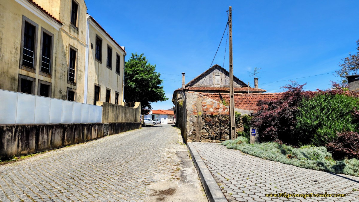 Crossover Large Intersection to Cobblestone Street
This small street brings you to the Rua Dr. Antonio Gomes Rebelo, 60 meters later, where you will turn right. You will see a church farther up the hill ahead of you, the Capela Barroca de Nossa Senhora do Ó, below.
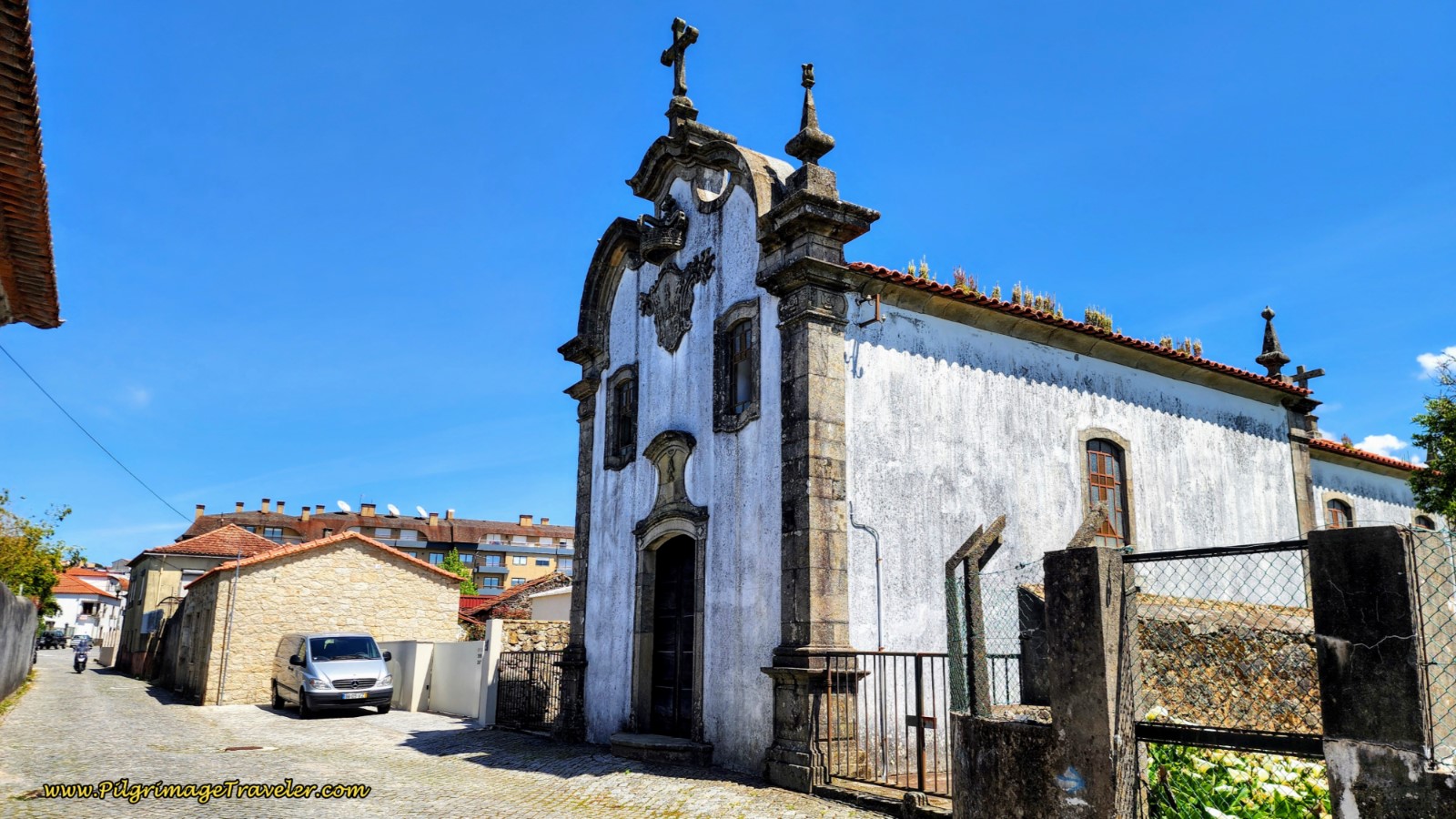 Pass the Capela Barroca de Nossa Senhora do Ó
On our original journey, at sunrise, as we climbed up and out of São João, the sun greeted us with a clarity of purpose! It was uplifting and fitting for our long, yet wonderful day to come.
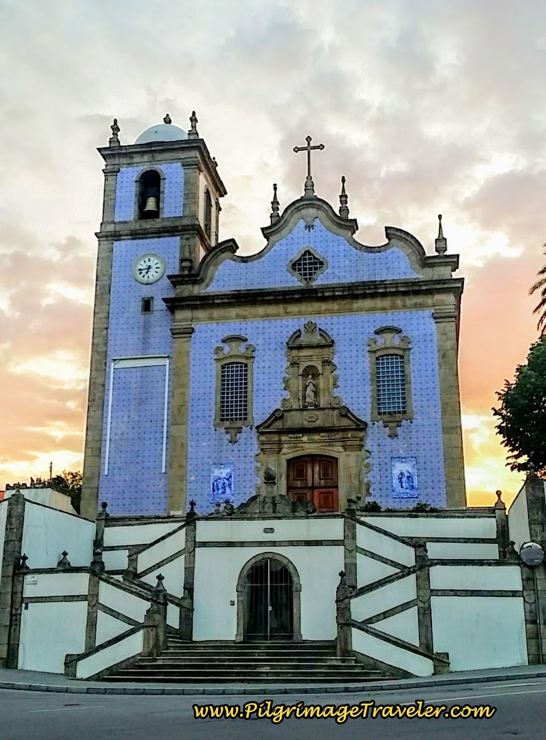
Along the Rua Dr. Antonio Gomes Rebelo, you arrive at the lovely church, the Igreja de Arrifana, after about 1/4 kilometer from the chapel and 1.5 kilometers into the day. It was perfectly framed in the brightening sky. We paused for a moment to admire it's blue tiles and its silhouhette in the morning light. A nice wonder for our Camino.
Just past the front of the church, take a right turn around it and pick up the Rua Prof Vicente Reis as the Way continues up the hill, seen in the photo below.
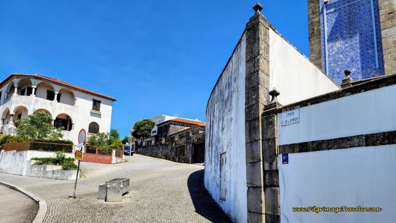 Right Here onto Rua Prof. Vicente Reis
Continue along the Rua Prof. Vicente Reis for 1/2 kilometer, until a T-intersection by a school. Turn left onto the Rua Banda de Música, after 2.0 kilometers. This is the top of the first hill.
The street becomes the Rua Outeiro farther along, and the view to the west, below, continued to surprise and thrill us. Was that the Atlantic Ocean we were seeing??
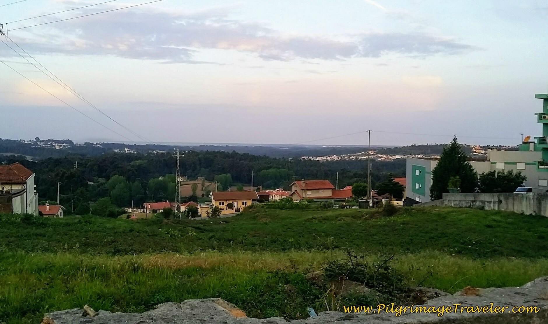 View Westward on top of hill in São João da Madeira
Keeping straight on, the road becomes the Rua Ramalhal, here. The surprise for me in this photo was the drama of the pink flowering tree. I had no idea what it was, but it was eye-grabbing! I appreciated it so much.
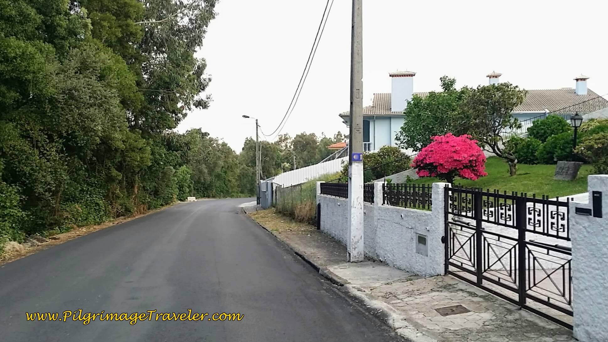 Flash of Pink Along the Rua Ramalhal
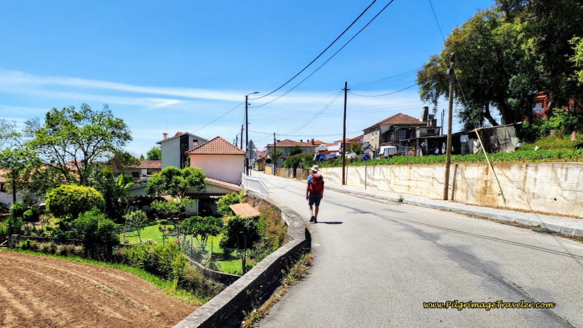
The Camino took a strong bend to the west, and the twist in the road presented the tidy gardens of this home as we entered the town of Escapães after about 3.5 kilometers.
The nice downhill section has ended and as you walk through this town, you will be climbing the entire time.
Turn right onto the Rua Bombeiros Voluntários at the Café Tareco and walk on it for about 150 meters, turning right onto the Rua Santo António. Pass the Capela de Santo António on your left and turn to the right onto the Rua Dr. Domingos da Silva Coelho at the T-intersection by the church.
It is along this street that a very colorful wall appeared to us, after about 3.9 kilometers into the day, quite dramatically on our left side, pictured below. It looked like a kindergarten, and indeed it turned out to be so, when we read the sign announcing it was the Jardím de Infáncia de Santo António (literal translation "Infant's Garden of St. Anthony ''). We smiled as we walked by.
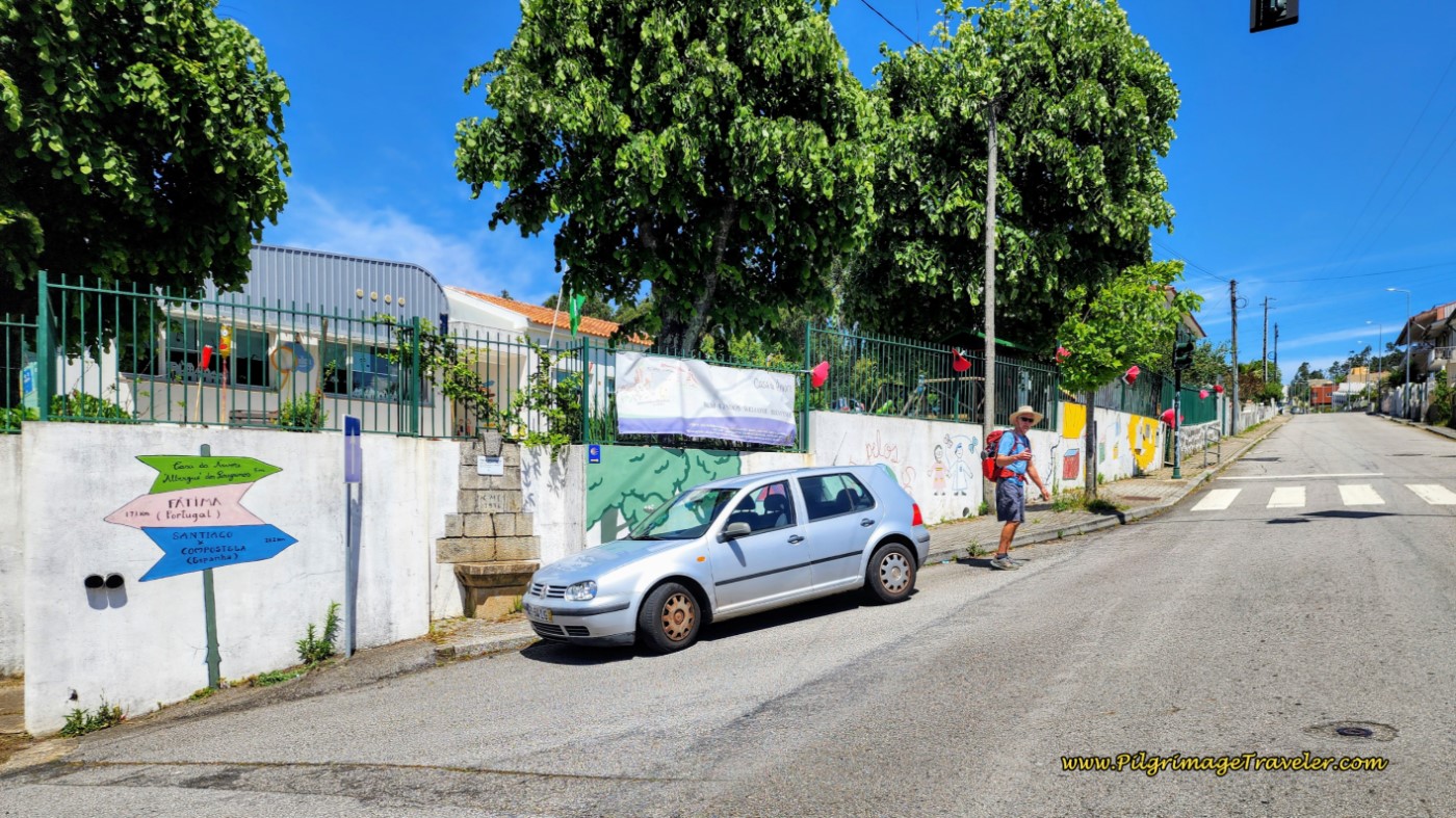 Jardim de Infância de Santo António, Escapães
Do not be fooled into thinking this is an albergue. It is not, even though the sign says "Albergue de Peregrinos Casa da Árvore," The children would like to interact with pilgrims, and give you a stamp!
You can see a fountain at the nose of the car in the photo above, but it is marked as unsafe to drink.
After walking through Escapães, continuing strongly uphill after the kindergarten, you will come to an intersection with the busy N1, 700 meters later. Turn left onto the highway and you have now reached the altitude top of the day, after about 4.7 kilometers.
The N1 is wide and with a more than adequate sidewalk to keep pilgrims safe during this 2.5 kilometer stretch along it. Unfortunately, their beloved granite setts (cobblestone) make up the sidewalk!
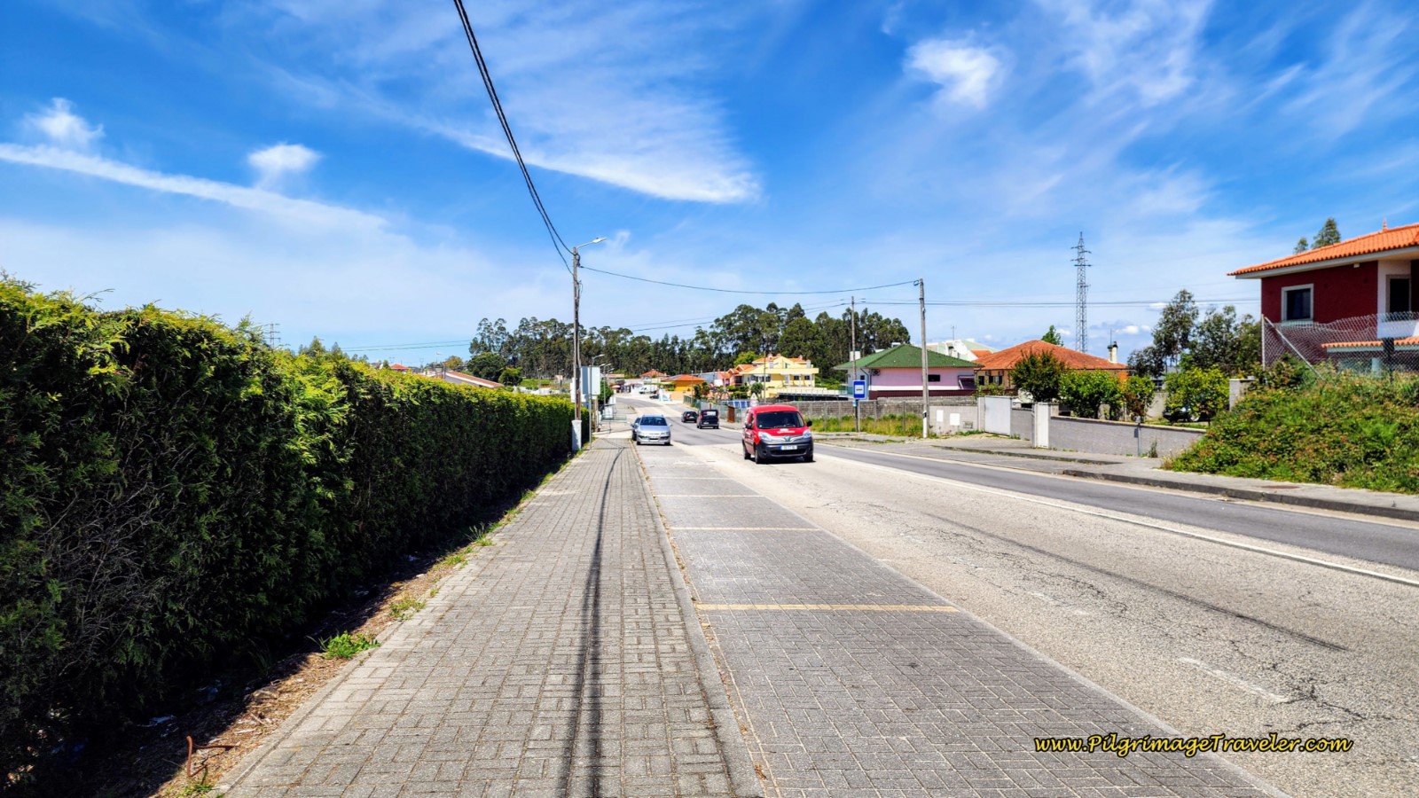 The Way Along the N1
Look for open cafés on the N1 section, there are several if you need a break.
From the loftiest heights for the day, along this stretch, this charming view presented itself to us. I was absolutely sure I was now seeing the Atlantic Ocean off in the distance to the west.
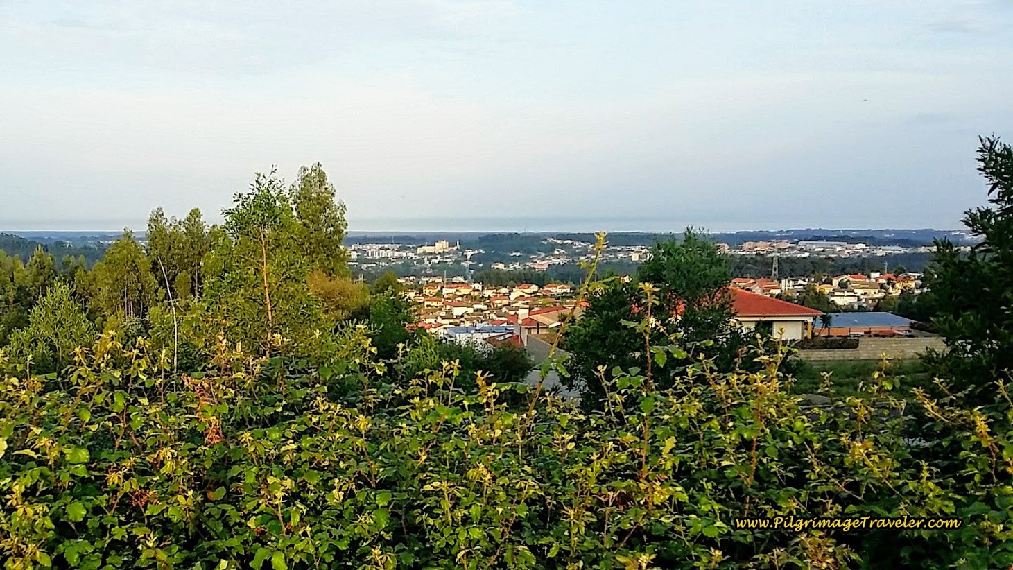 First Glimpse of the Atlantic Ocean on day Fourteen of the Camino Portugués
After approximately 1.2 kilometers along the N1, come to this shrine, below.
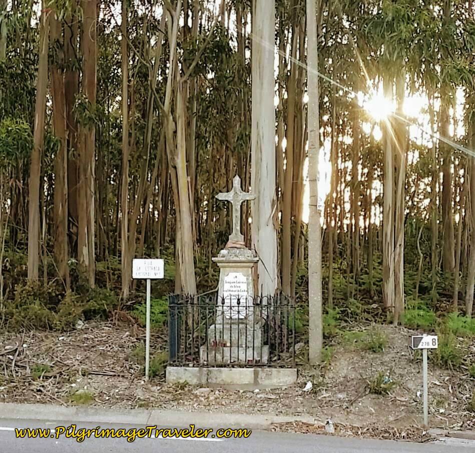 Shrine Along the N1
Remember, that about one kilometer after this shrine is the Hotel Feira Pedra Bela, after approximately 7 kilometers, if you had plans to stay here, as I suggested as an alternative to lengthen your day thirteen. The hotel is behind the restaurant, the Pedra Bela, that is right along the N1 on your right.
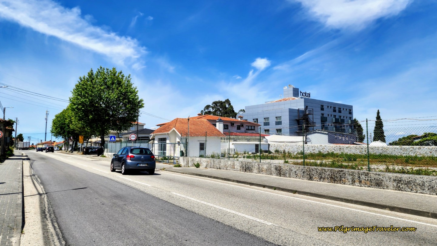 Hotel Feira Pedra Bela on the N1
We have stayed in the hotel and it is quite nice, however the restaurant is quite pricey. There are more economical choices right beside the hotel.
After 2.5 long kilometers, we finally came to this spot, where the Camino turns to the right off the N1 and onto the Rua Estrada Romana. This turn may be easy to miss, so stay alert. The turn is after approximately 7.2 kilometers into the day.
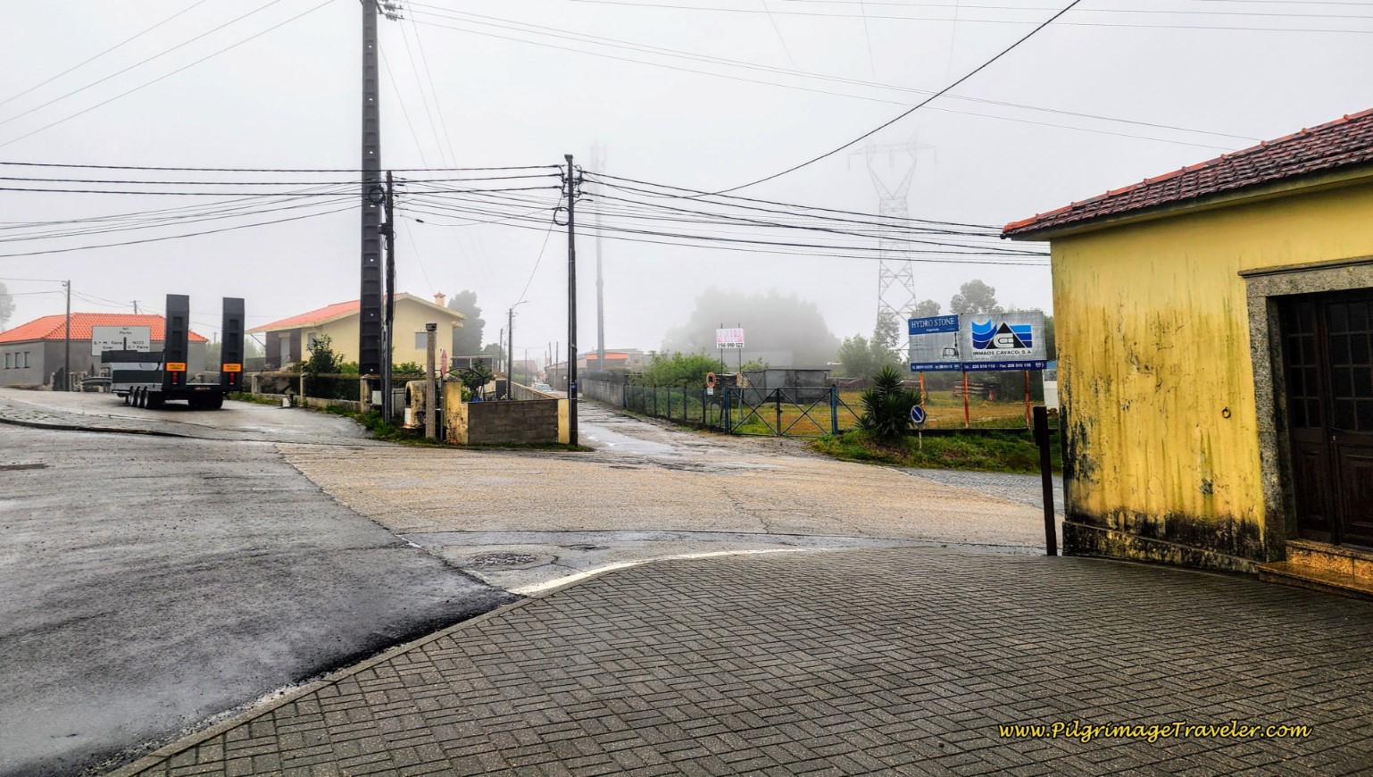 Turn Right onto the Rua Estrada Romana
The Rua Estrada Romana is a street name that should be intriguing to everyone, as it means the "Roman Road Street." Yes, this is where we will soon encounter the old Roman Road to Porto!
We first walked through this quaint portion of the road through the town of Airas.
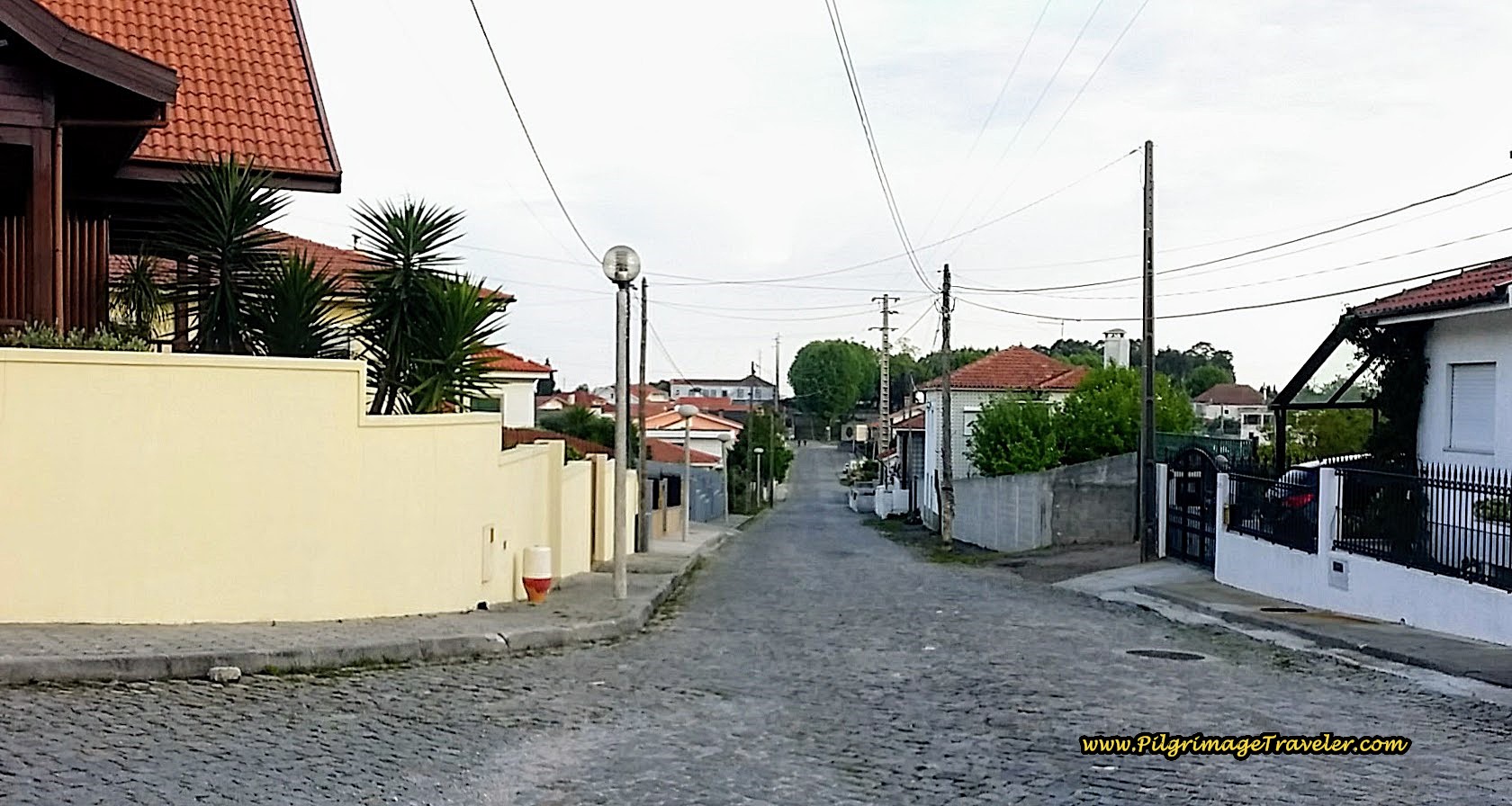 Quiet Rua Estrada Romana on Day Fourteen of the Camino Portugués
And then, suddenly ahead, the original Roman Road appeared after about 7.7 kilometers into the day fourteen on the Portuguese Camino.
It was so nice that the planners of the Camino took we pilgrimage travelers down this old path, even if it is only for 100 meters!
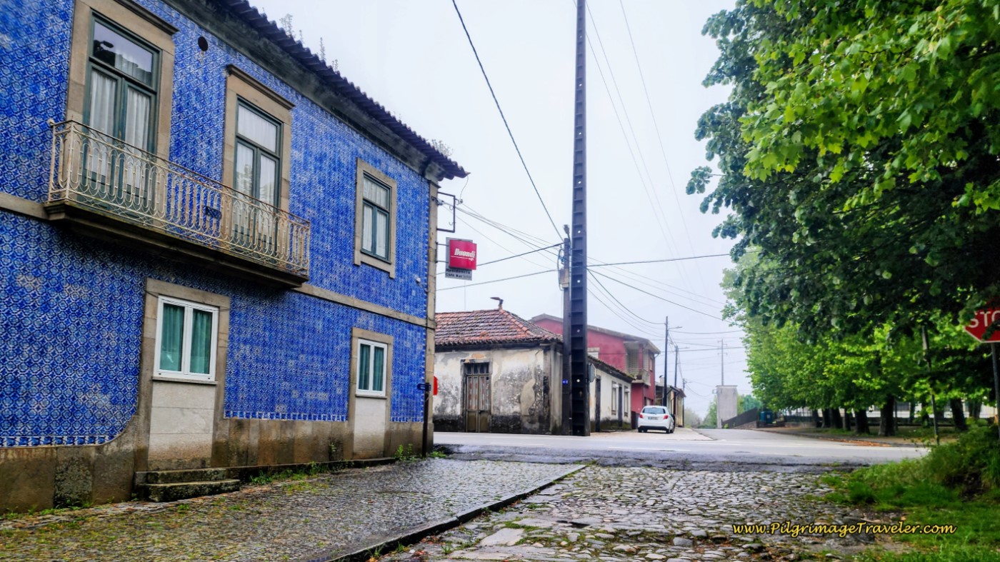
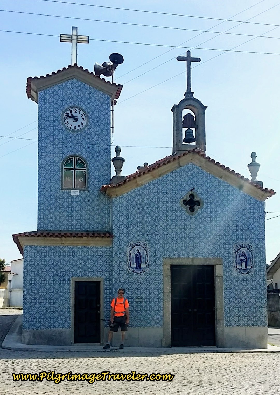
At the end of the Roman road, we crossed the street below, the N223 at this lovely azulejo-tiled building which houses the Residencial Solar Albergue (+351 915 635 067). This is the second possibility to extend your day thirteen, in a very economical manner!
Jump to Camino Portugués Stages
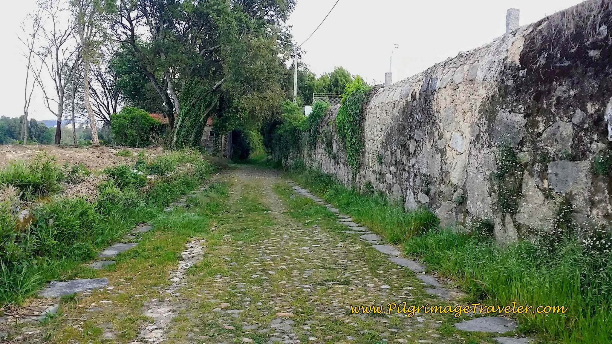
After crossing the N223, the Roman road is a modern, paved road for a short way, then once again becomes this antique road, below.
And then the old Roman Road ends, after about 600 meters on it, and the Camino takes a turn to the right, after about 8.66 kilometers total, to walk onto the Rua Areiro into the next town of Ferradal.
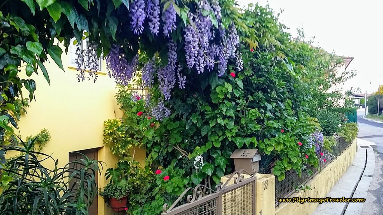
A garden at this home, below, with its lush, hanging wisteria caught me by surprise, as we rounded the bend. Just gorgeous and I breathed in the spring air and the beautiful blooms.
Continuing straight on and down the hill through town, when you see a long green wall, the road is now the Estrada Real Ferradal, below. Back on the Royal (Real) Road, but with a slightly different name!
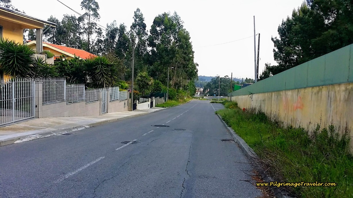 Estrada Real Ferradal
When the wall ends a block later, the Camino continues straight and onto a gravel lane to pass a large cluster of industry buildings on the right. The gravel lane ends after a few meters, and you can continue straight onward onto a path, or if it is muddy, just go right to continue on the lane where once again it meets the paved Estrada Real Ferradal a few meters later. Turn left onto the paved road and join the juncture of the path a few more meters later. You will remain straight through on the Estrada Real Ferradal for the next 700 meters.
As you walk along, the industry ends and the street becomes narrow once again, below. There is a café in a few blocks and a mini-market a bit farther, so keep your eyes open for them, if you need.
Beware of heavy traffic on these narrow roads during rush hour!
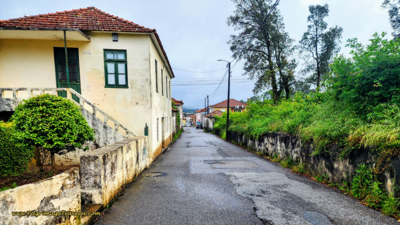 Estrada Real Ferradal Narrows
After around 10.5 kilometers into the day, you will come to this historic washing area, by a bridge over a creek, below. This is the low point of the long, three kilometer downhill walk you just enjoyed from Malaposta! The street now becomes the Estrada Real Gualtar, but for only 300 meters, and on a barely noticeable uphill. We are still on the Royal (Real) Road!
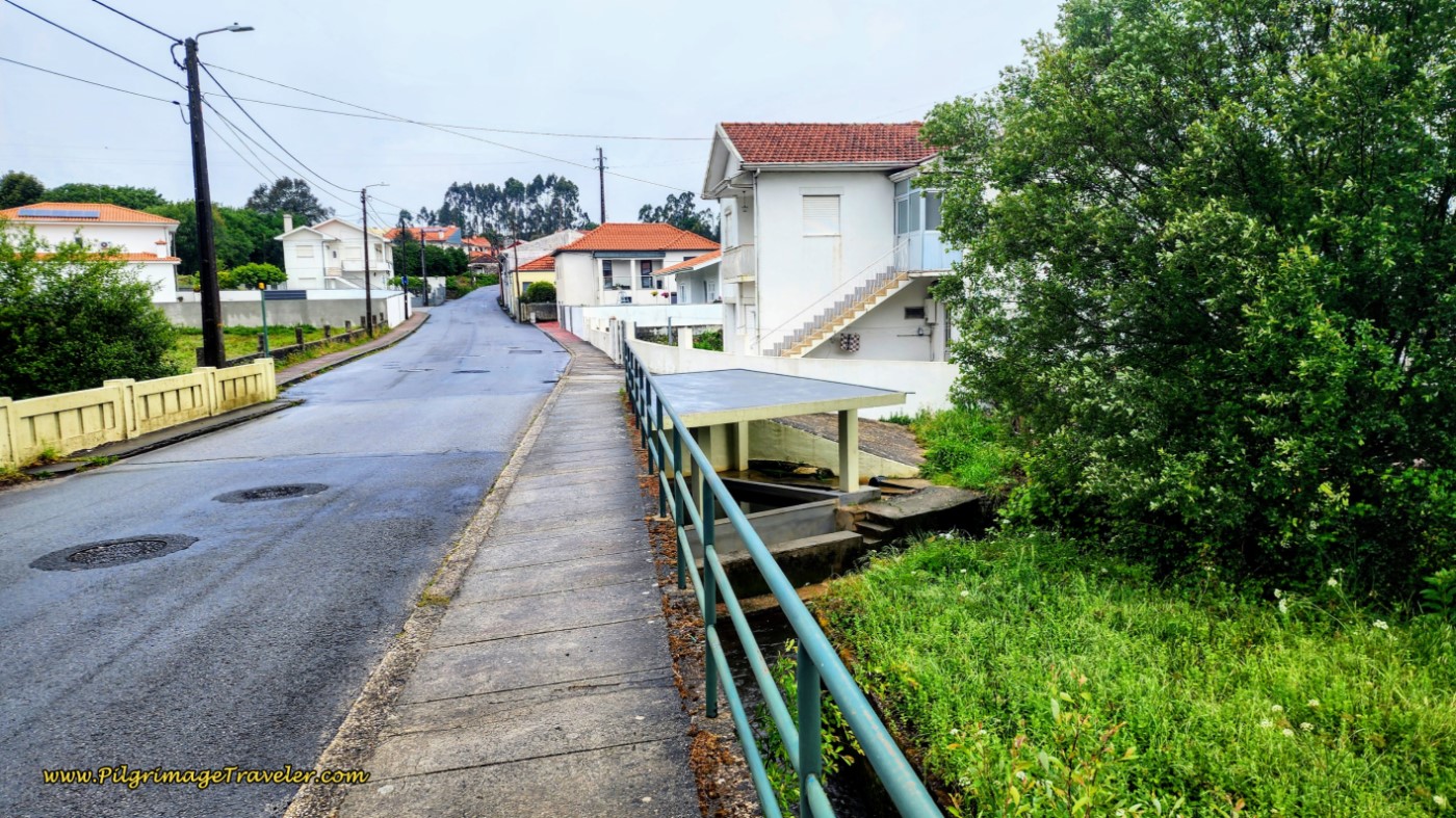 Ongoing Street Becomes the Estrada Real Gualtar
After 300 meters, the street is now the Estrada Real Vendas Novas as the Camino takes you through the next town of the same name, Vendas Novas, still a royal road.
After another 1/2 kilometer, still continuing straight onward at all intersections, the street changes to the Rua Estrada Romana again! From the Roman to the Royal and back to the Roman. Interesting history, isn’t it?
We are now walking through the much larger town of Lourosa. You will walk by several small grocery stores and a giant Aldi, in the next 500 meters.
Beyond the Aldi’s along the Rua Estrada Romana, after approximately 12.1 kilometers, this Albergue sign for Grijó appeared, pictured below. Someone had a sense of humor when they posted 6700 meters instead of 6.7 kilometers to the next albergue! Zoom in on the yellow arrow in the photo to see it! We got a hearty laugh out of the sign, another fun Camino surprise.
This sign is now very old and faded, so if you do manage to spot it, it is almost illegible! Too bad.
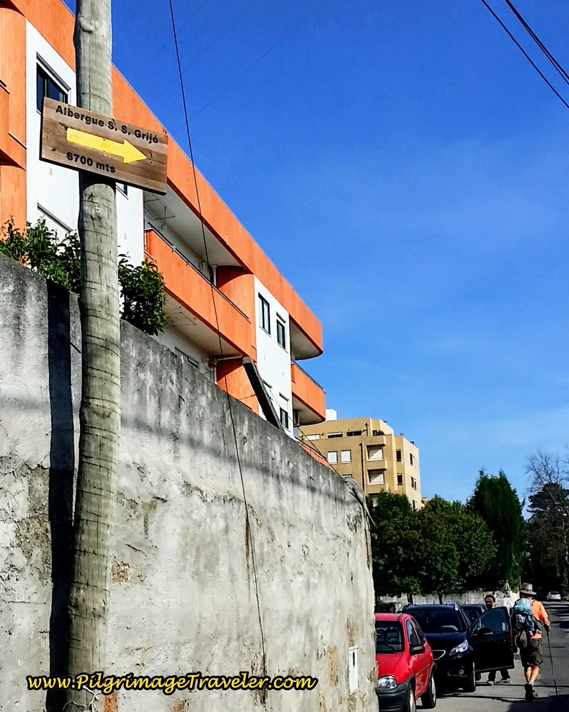 6700 Meter Signpost to Albergue in Grijó on the Rua Romana
We walked on the Rua Estrada Romana for a full 1.2 kilometers, through Lourosa, until we came to a T-intersection after 12.6 kilometers. There is a Park’N Ride station here, and a few meters to the left is a large roundabout of the N1. This is the way to go. There is a café in the roundabout.
After turning north, right, onto the N1, we walked on it for the next 1/2 kilometer, and then the Camino veers right onto the Rua Central da Vergada, pictured below. Vergada is the next town.
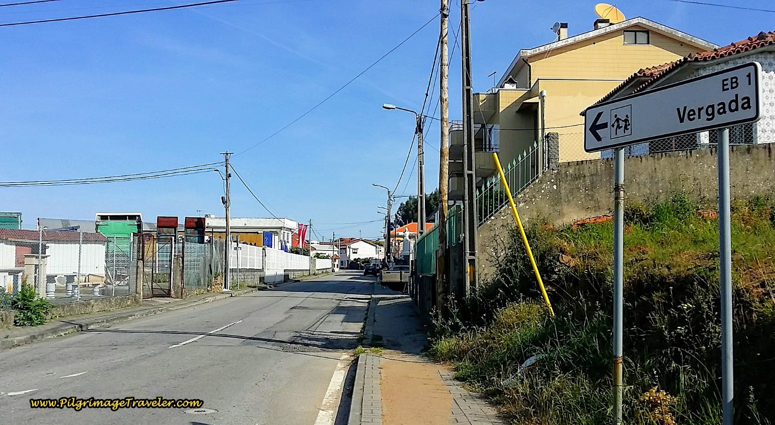 Signpost to Vergada on Day Fourteen of the Camino Portugués
The town of Vergada is easy on the eyes...
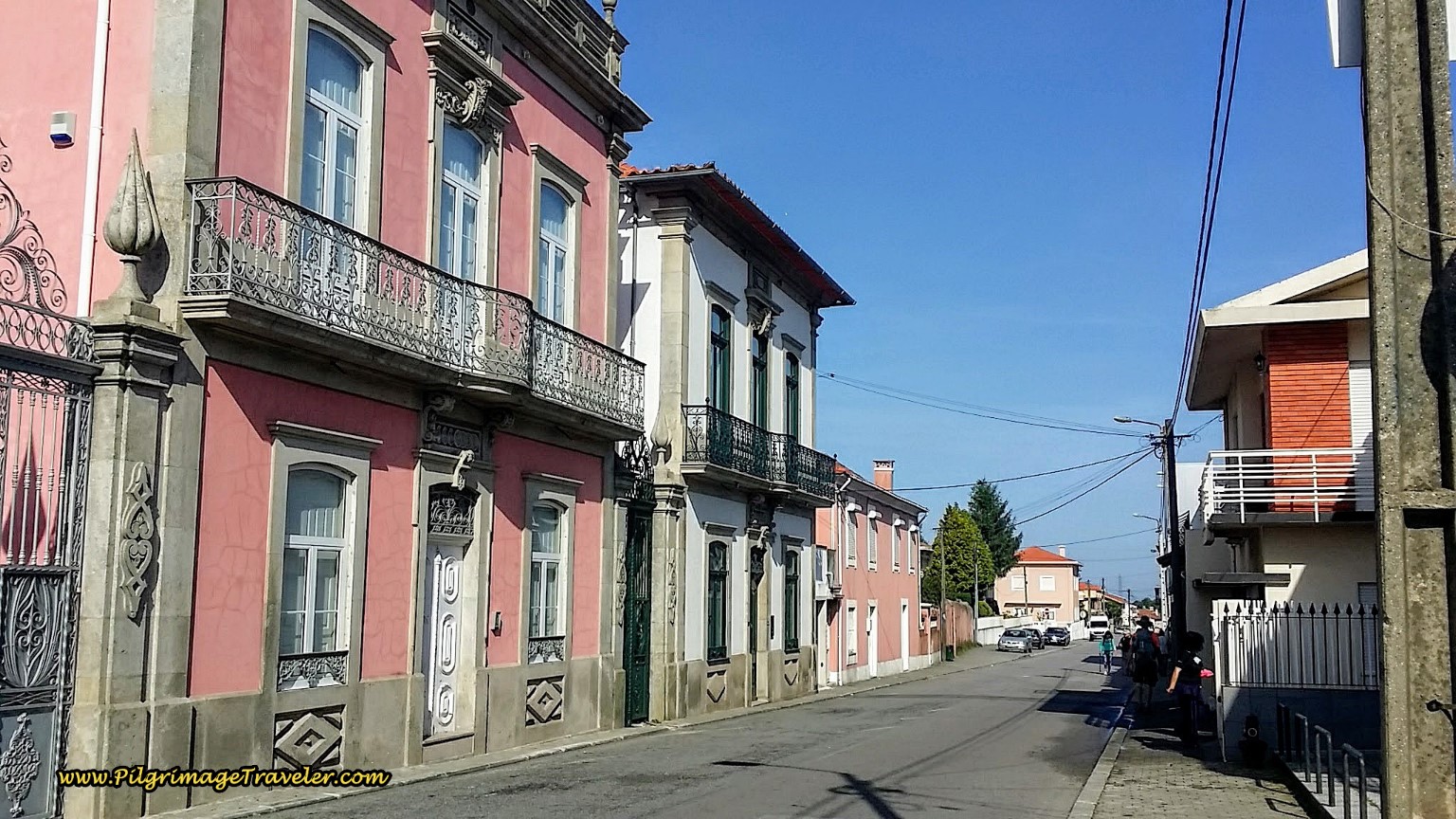 Walking Through Vergada
...and also has several cafés, below, in addition to a grocery store. The Café Belita is after about 14.2 kilometers into the day.
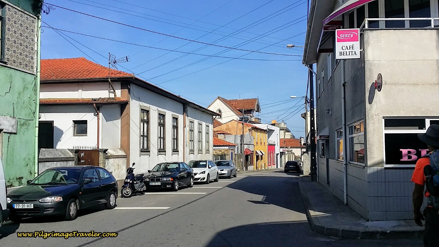 Café Belita in Vergada
About 300 meters after the Café Belita, you take a left onto the Rua Porto, initially paved and then turns to cobblestone, meeting the N1 one block later at this intersection, below. Here the Camino goes straight on and crosses the N1.
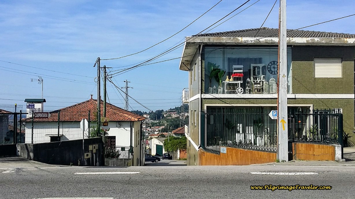 Cross the N1 Here
50 meters after the crossing, take a right turn onto the cobblestone Rua Centieiras. Follow the Rua Centieiras for not quite 500 meters, as it becomes a wider two-lane street, then narrows and comes to a T-intersection with the Rua Arnelas.
Turn left onto the Rua Arnelas and walk for 150 meters to the intersection with the Travessa de Goda. Turn right, walking up a small hill on the single-lane road. 50 meters later, cross over a major highway, with a café on the corner, and continue up the hill, now along the Rua Sra. dos Aparecidos.
At the top of the hill the street changes its name to the Rua Joaquim Domingues Maia and you will walk downhill 1/4 kilometer into the next town of Goda, after approximately 15.7 kilometers into the day, below.
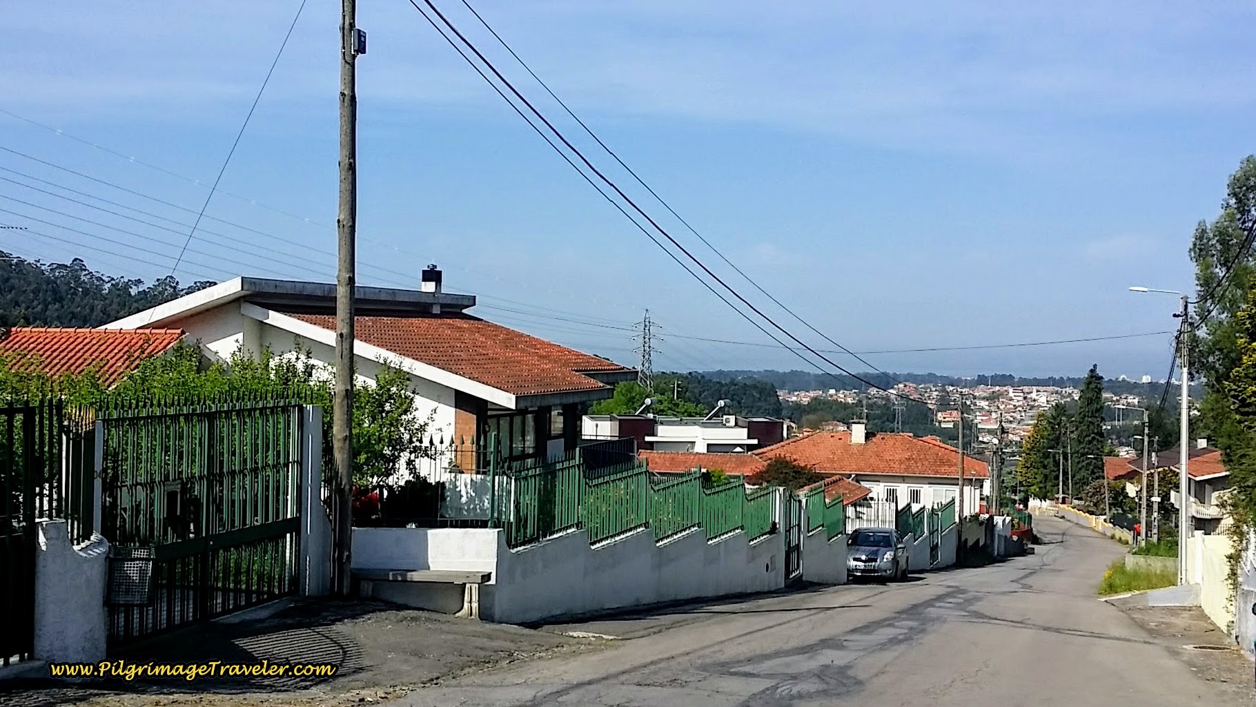 The Rua Joaquim Domingues Maia in Goda
Before the bottom of the hill into Goda, look for a turn to the right onto the street called the Bairro Manuel Lima, at the first intersection. Follow this street northwest for 1/4 kilometer. Next, come to a T-intersection and turn right and northward onto the Avenida Alminhos.
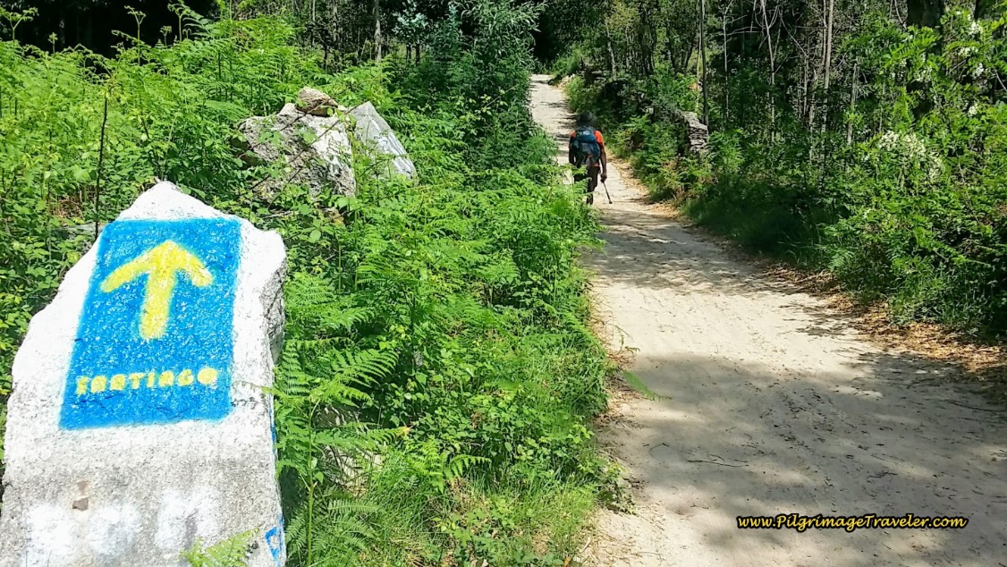
200 meters later, cross under a highway, the A41 and about 100 meters later, pass this small chapel, below. The yellow arrow in the foreground is announcing the Albergue in Grijó is now only 2200 meters away! Another chuckle here! Or perhaps this is a usual cultural way of showing distance? Even though the signpost will most likely be gone soon, due to its condition, I couldn't help myself to include it here. If it is gone, just know that if you are planning to stop at the albergue, it is only 2.2 kilometers away from the chapel.
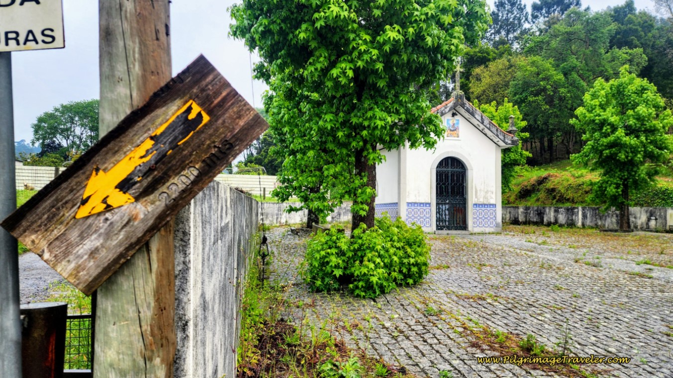 Pass Small Chapel and Albergue Waymark
Just beyond the chapel, the road bends to the left, and you will take the second right hand turn, onto the Urbanização Flavio Avelar.
After arriving at the first intersection with the Av. São Cristóvão, 130 meters later, the Camino goes straight but if you were to turn left, in about 400 meters you will encounter the Motel Emção, another alternative to shorten your day.
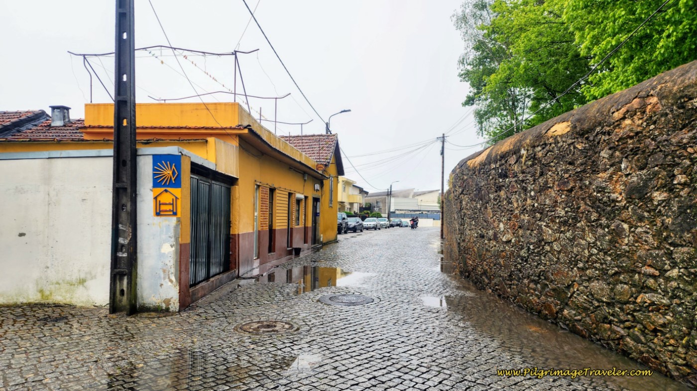
Continuing on this street, it turns to dirt, below, and comes to a T-intersection at the wall that you see in the photo. Turn to the left, onto the cobblestone Rua Costeiras at the wall.
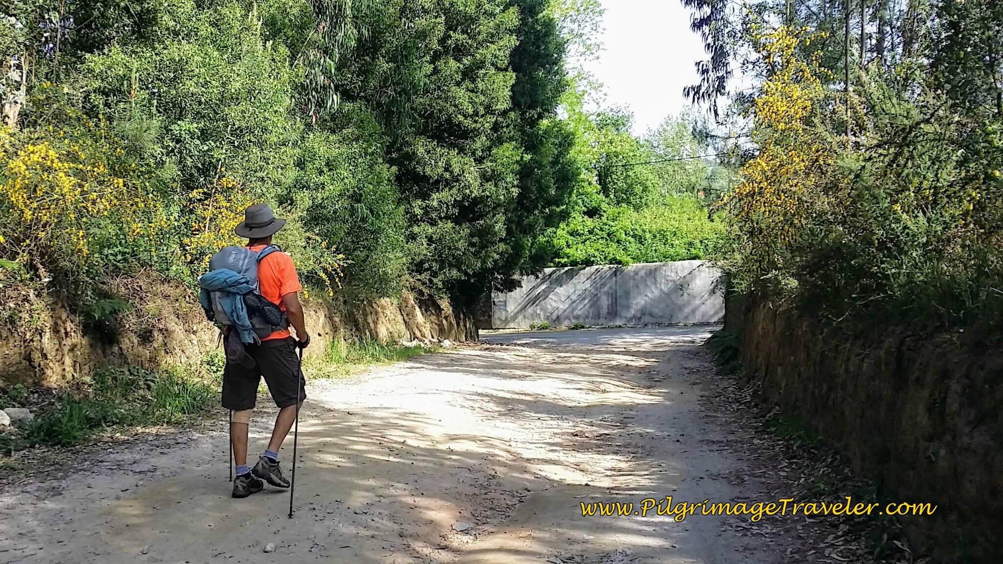 Rich on the Urbanização Flavio Avelar
Less than 200 meters later, at a Y-intersection, we turned left onto the paved Rua Loureiro de Baixo. 100 meters later, when the street ahead becomes cobblestone, we joined the Travessa da Farrapa.
Another 1/3 kilometer and you will come to a T-intersection with the Rua da Farrapa. It is the Rua da Farrapa that takes you into the square of the next small town of Chamusca, 350 meters later. In the center, of course, is the chapel. We paused to admire the Capela de Santa Rita before continuing on. We were at about 17.7 kilometers at this chapel.
The Camino passes around the front of the chapel and onto the Rua Ermo. Across from the church in the square, is a final wooden waymark with a yellow arrow, informing you that the municipal albergue in Grijó is 900 meters away.
And a few steps beyond the church, another lovely café is available.
The day was getting much hotter by now, at 11:00 and most of the scenery was not too thrilling since the Roman Road! It was just walking from town to town on pavement.
Forward onto the Rua Ermo from the town center, we walked under the second highway, the A1 on this lovely cobblestone road, as we approached Grijó.
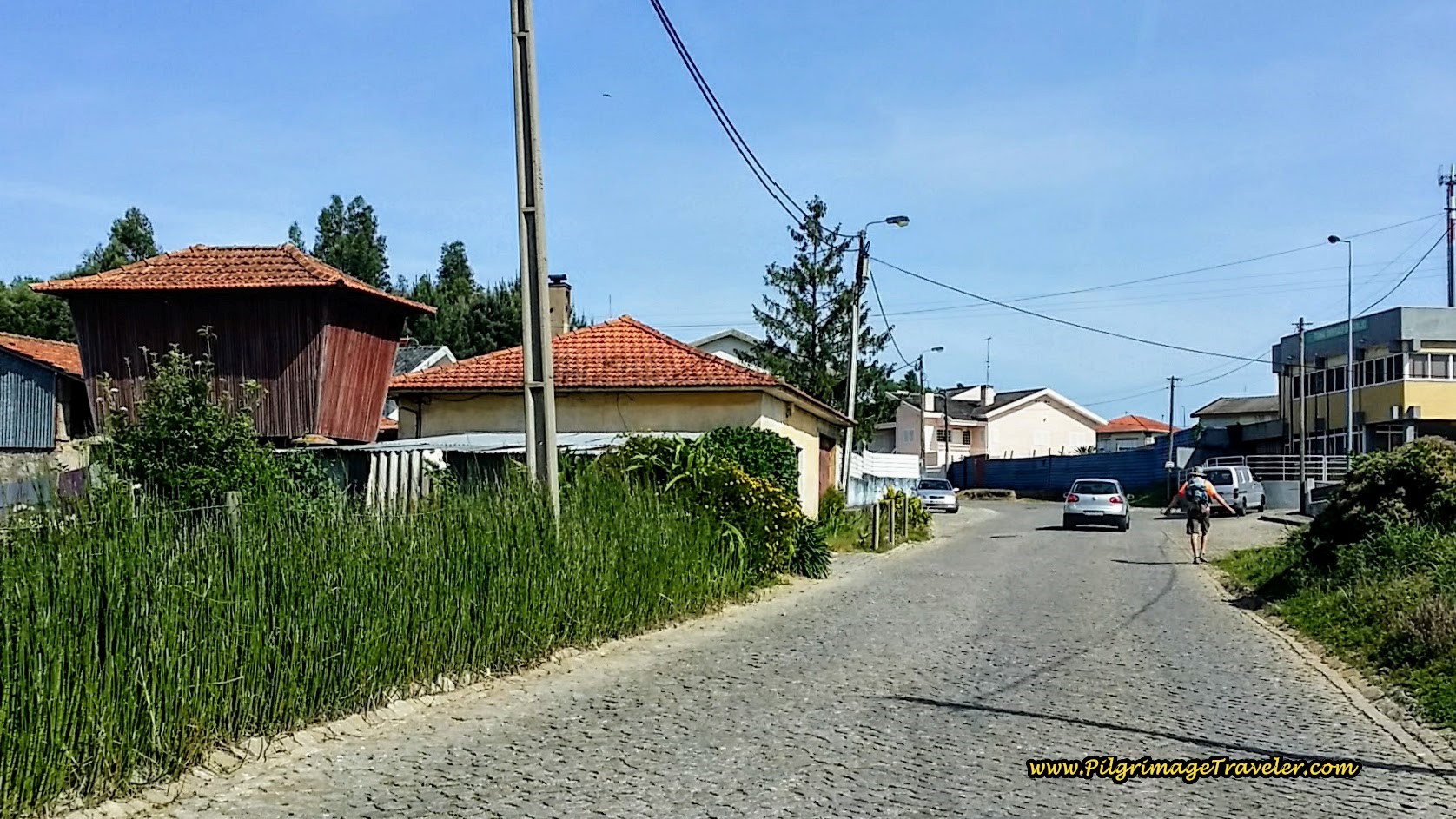 Approaching Grijó on the Rua Ermo
Another 2/3 kilometer or so, from the chapel, we reached an intersection with a small roundabout, where we turned left onto the Rua Cardoso Pinto.
The distinctive Casa da Cultura is at this intersection, below. The photo is of the building, looking back after the turn.
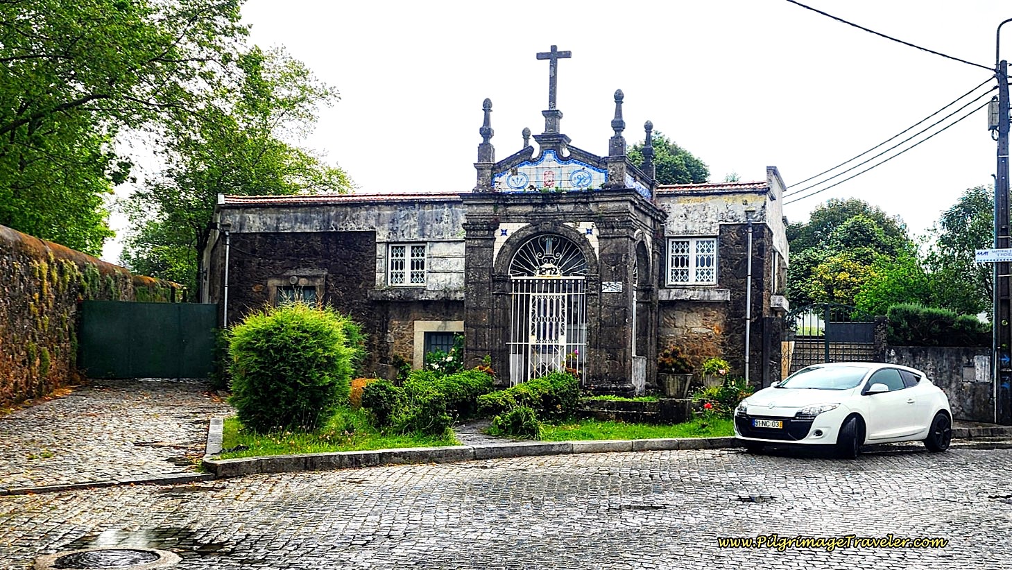 A Look Back at the Casa da Cultura at Intersection
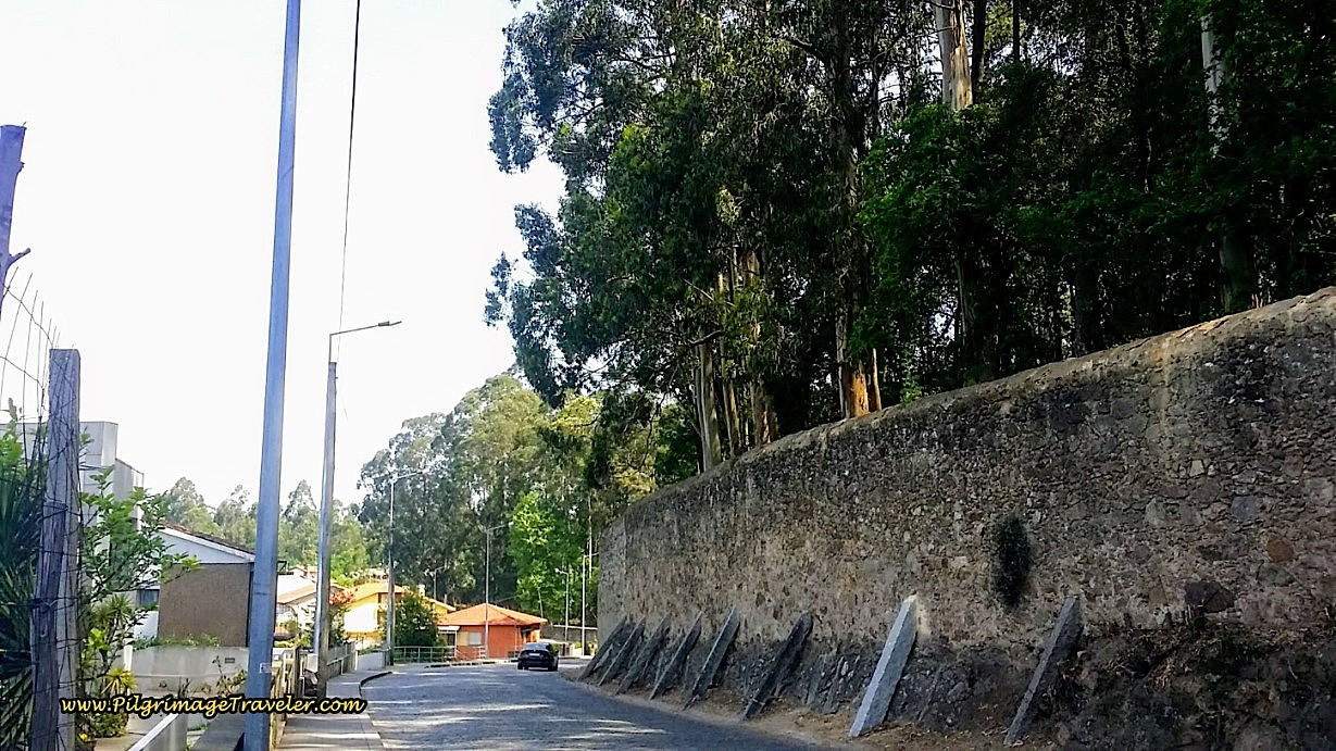
Along this street, there are high walls on your right, which contain the grounds of the monastery up ahead.
It is important to note this street with its high walls, if you are planning on staying at the albergue in Grijó after 18.6 kilometers total. After you see the high walls, the albergue is a mere 200 meters to your left. Remember if you do not stay here, it is another 15 or so kilometers to Porto!
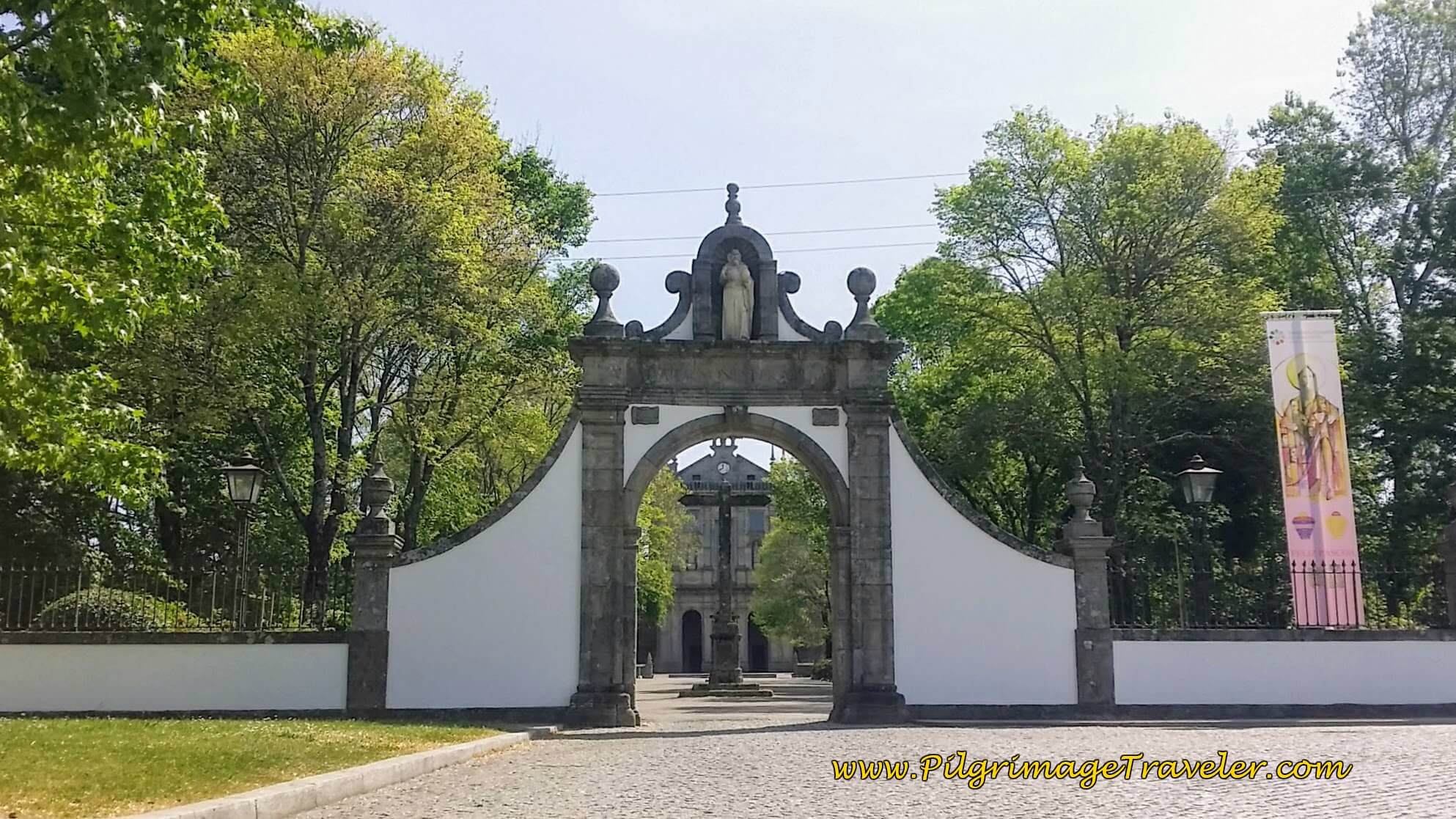
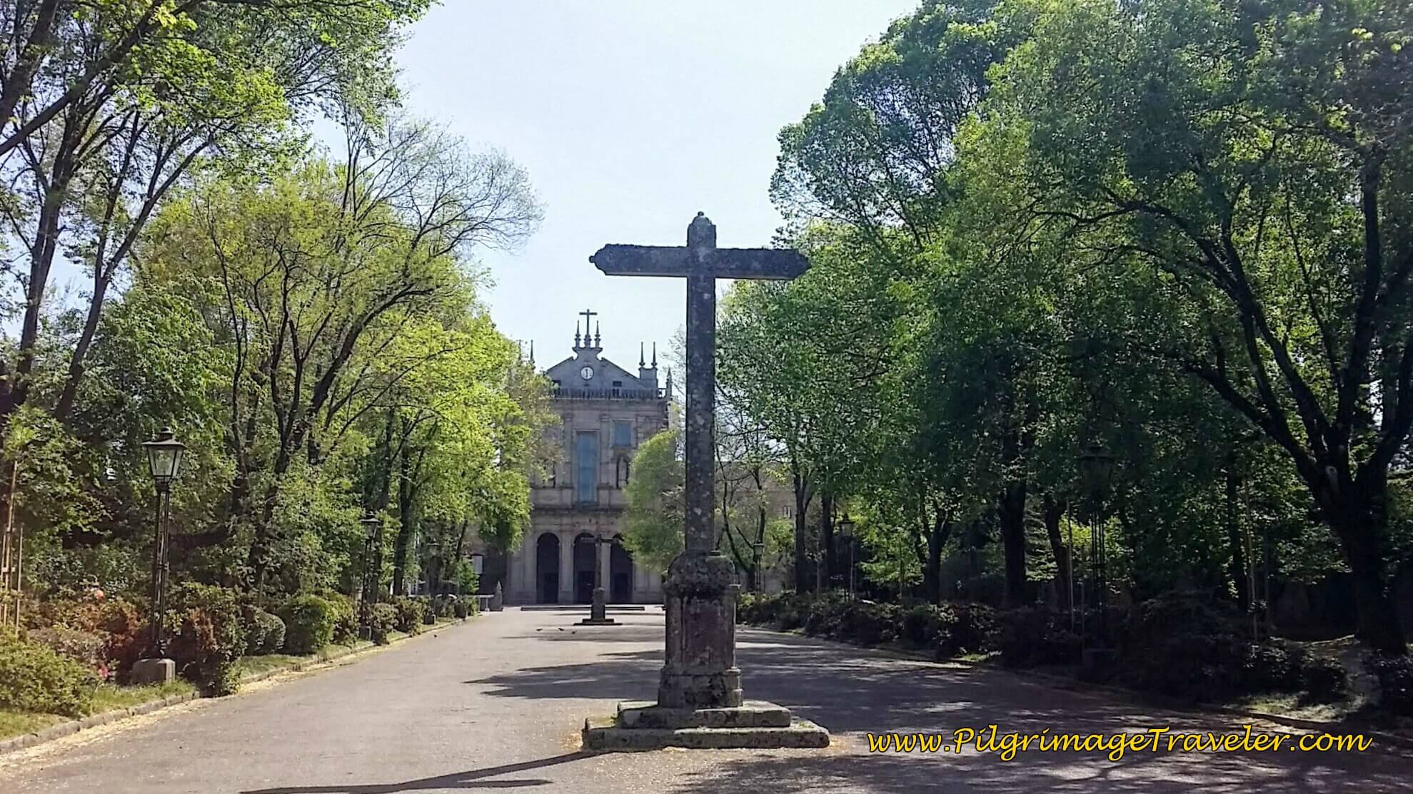
We walked another quarter kilometer to see the most famous site in Grijó, the Monastery of St. Salvador, below.
The long walk into the monastery from the entrance, with gardens at each perimeter, was shady and very inviting. We stopped on a bench, had our picnic lunch here, took off our shoes and socks and propped our feet up. I was so grateful for this, as my feet were starting to burn on the hot pavement.
The silence here was a perfectly refreshing place to take a break at 18.9 kilometers into our day fourteen. Almost 2/3rds of the way done.
We poked around the monastery, but unfortunately, the buildings were all closed. I would have loved to have a look inside at this historic place, built in 1640, that has fallen out of use. If you wish to see more information on the monastery, click here.
There are open restrooms just to the left of the church, if you need this comfort as well!
As we left the Mosteiro, just outside the gate is this cemetery, in the photo below. A group of Fátima pilgrims were resting on the steps, and of course, my ever-social husband sat down with them to have a chat.
It turns out that lots of Fátima pilgrims were setting off from Porto on this Saturday, as part of a large group. They were a jovial bunch, and I just had to snap a photo.
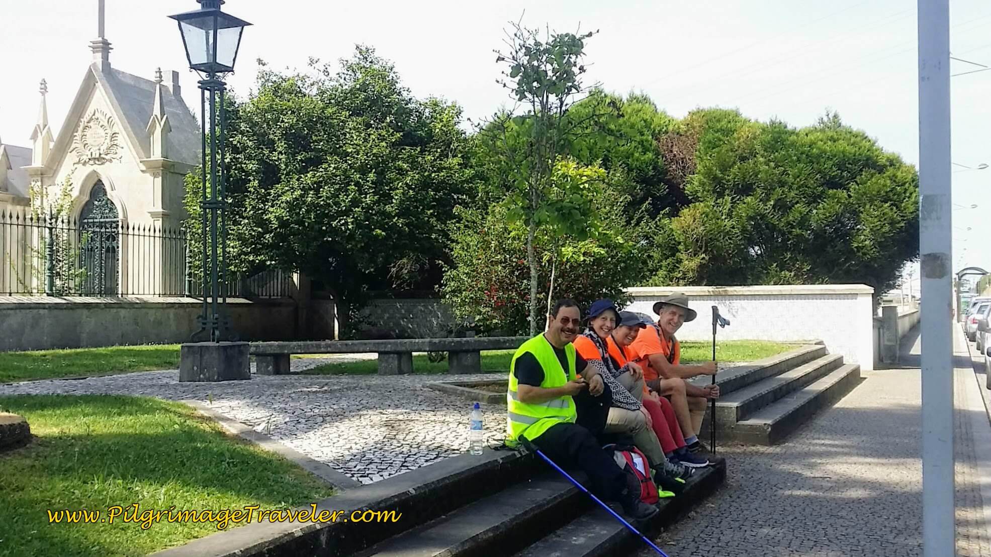 Rich with Fátima Pilgrims on the Avenida Mosteiro de Grijó
Jump to Camino Portugués Stages
Heading back on the Camino, after 600 meters from the entrance of the monastery, we came to this intersection in town, and turned right at the small chapel. We saw plenty of open cafés here in Grijó if needed, as well as food stores. You are at 19.5 kilometers total at the small chapel.
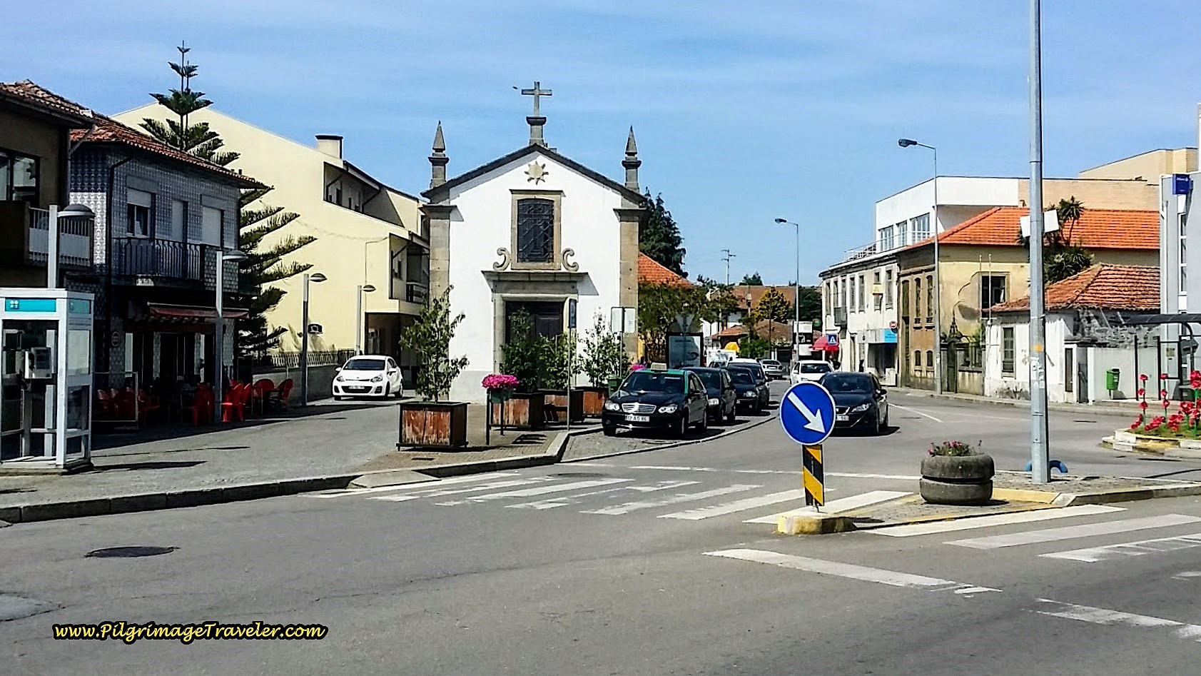 In the Center of Grijó Turn Right at Capela on the Rua da Guarda
This way on the Rua da Guarda kept us out of the center of town, and on a quiet road that circumnavigated the Monastery grounds, again delineated by the high walls.
After about 800 meters, we left the Ruda da Guarda and turned left onto the cobblestone street, the Rua Casal de Baixo, pictured below, for more rural-looking countryside.
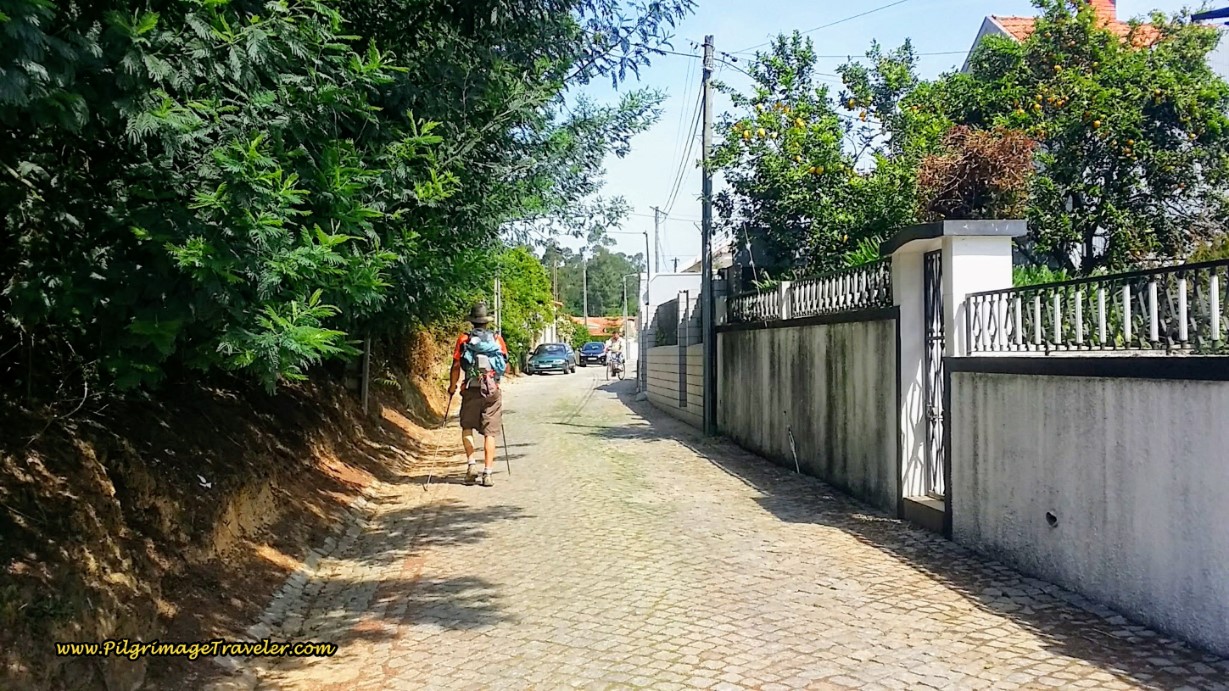 Leaving Grijo ~ Left Turn Here onto the Rua Casal de Baixo
Follow this street through a crossroads and for a total of about 600 meters to a T-intersection. Turn left onto the paved Rua Casal de Cima. 200 meters later, at the next T- intersection, turn right onto the cobblestone Rua Alminhas, in the direction of Sermonde.
There is a large, enclosed sports complex on your left, with brightly painted murals on the walls, pictured below. The murals are of what looked to me like village life.
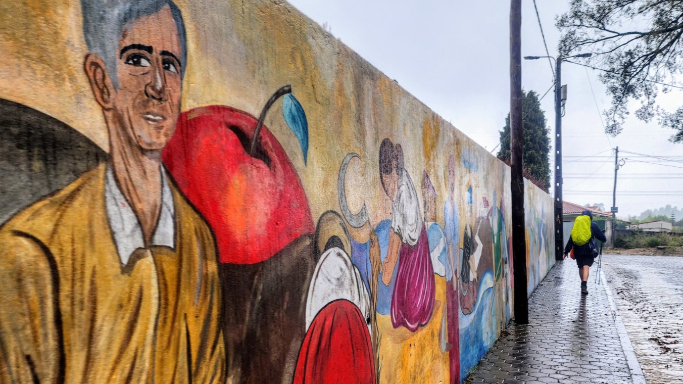 Colorful Wall Mural at Sports Complex
Walk about 100 meters along the wall to the next Y-intersection and stay to the left and onto the Rua Parque Desportivo (Sports Park). Continue on this cobblestone street for about one quarter kilometer, joining the Rua Silvinhas at a T-intersection, and turning to the left.
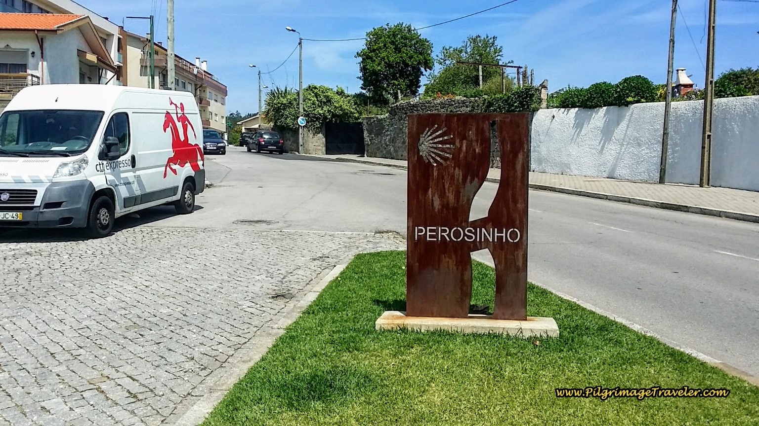
Follow the Rua Silvinhas northward until a large intersection a bit more than 1/3 kilometer later, where the onward street is now called the Rua Sirgueiros. You are walking in the direction of the next town of Perosinho.
Walk along the Rua Sirgueiros, below, as it turns to cobblestone, for the next one-half kilometer, to the large church square of the Capela de Santa Marinha (not pictured) after about 22.5 total kilometers for the day. There are benches in front of the small chapel to rest if desired.
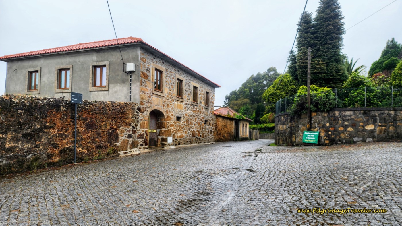 Along the Rua Sirgueiros
At the chapel, you are now on the Rua Santa Marinha. Continue northward along this street, past the church, up the hill and to the right. Walk for another 150 meters to a T-intersection. Turn right onto the Rua Pereira Azevedo.
Continue on the Rua Pereira Azevedo for another 800 meters, on quaint cobblestone, below, as you approach the next town of Perosinho.
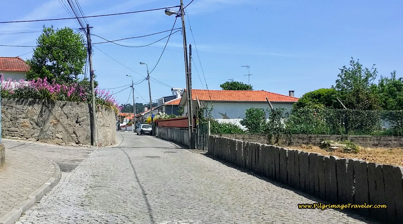 Along the Rua Pereira Azevedo in Perosinho
When the cobblestone ends in pavement, stay alert for an upcoming turn to the left onto a side road, into a large square, the Largo Loureira, after 23.5 kilometers.
This road along the square parallels the street you just left and there is a welcome café here after your long stroll through the countryside. I grabbed a quick coke here, but we essentially kept rolling.
At the end of the square is this signpost, below, where you will turn to the left and onto the Rua Eduardo Ribiero.
You may have noticed that you are climbing once again. This is the final significant climb of the day, and will last about two kilometers.
100 meters later, after passing another café, cross the busy Rua 25 de Abril onto a one-lane cobblestone road called the Rua Igreja, below.
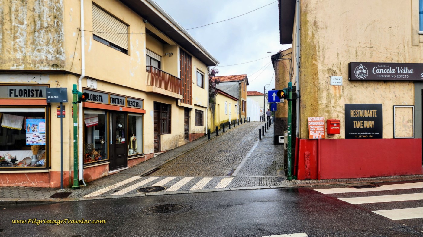 Crossover to the Narrow Rua Igreja, Perosinho
Indeed, come to the church square another 60 meters later.
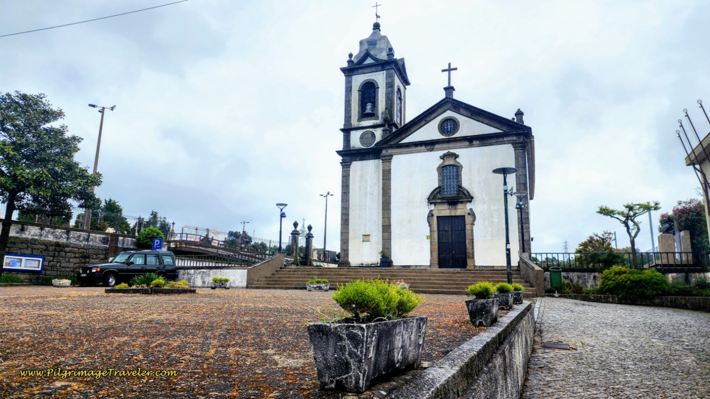 Igreja de Perosinho
Pass the church square and cemetery along the Rua Padre Joaquim, bending to the right, then the left and one-quarter kilometer later, come to a T-intersection with the Rua Alzira Pacheco. Turn left and keep climbing. There is a large wooden hórreo directly across the intersection.
Continue on the Rua Alzira Pacheco for about 300 meters until you come to an intersection with this lovely shell waymark on the street, below. Continue straight onwards, towards the shell. You are entering the Rua Bela Vista, after 24.3 kilometers into the day. This is the street with the “Beautiful View." Hmm, sounds promising doesn’t it?
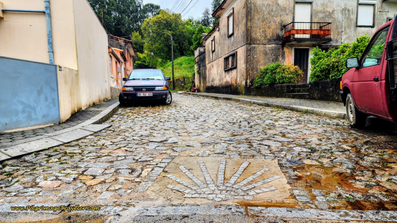 Waymark Shell at Entrance to the Rua Bela Vista
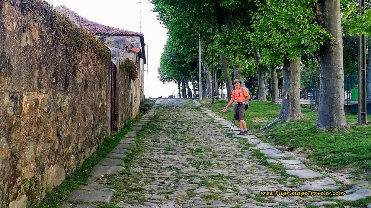
Within less than 100 meters, the cobblestone ended and we were on an ancient Roman Road.
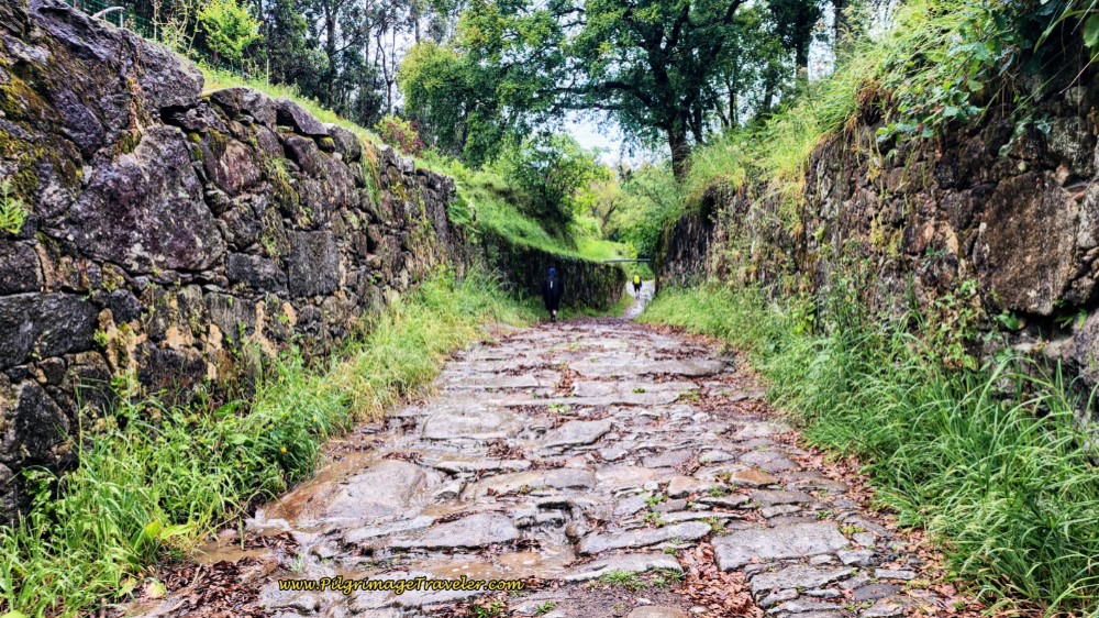 Ancient Roman Road
For the next 700 meters, approximately, there is a steady uphill climb, but the fun of being on the Calzada Romana took out the sting. These old Roman roads enchanted me so! I was so grateful to get a chance to walk a portion of my pilgrimage on these roads through time. It always sparks my imagination to envision past travelers and to wonder if actual pilgrims to Santiago walked in my very steps!
 Elle on Section of the Roman Road
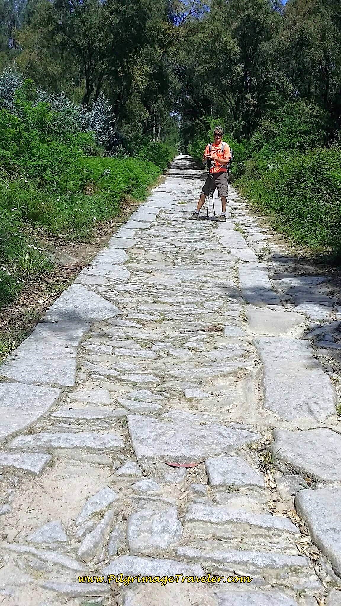 Rich on Ancient Roman Road
I was very grateful also, that these antique portions of road were in the countryside instead of through a city or town. It made it feel all that much more authentic to me.
Farther along, you will encounter less preserved road, and then segments of the ancient pavers once again.
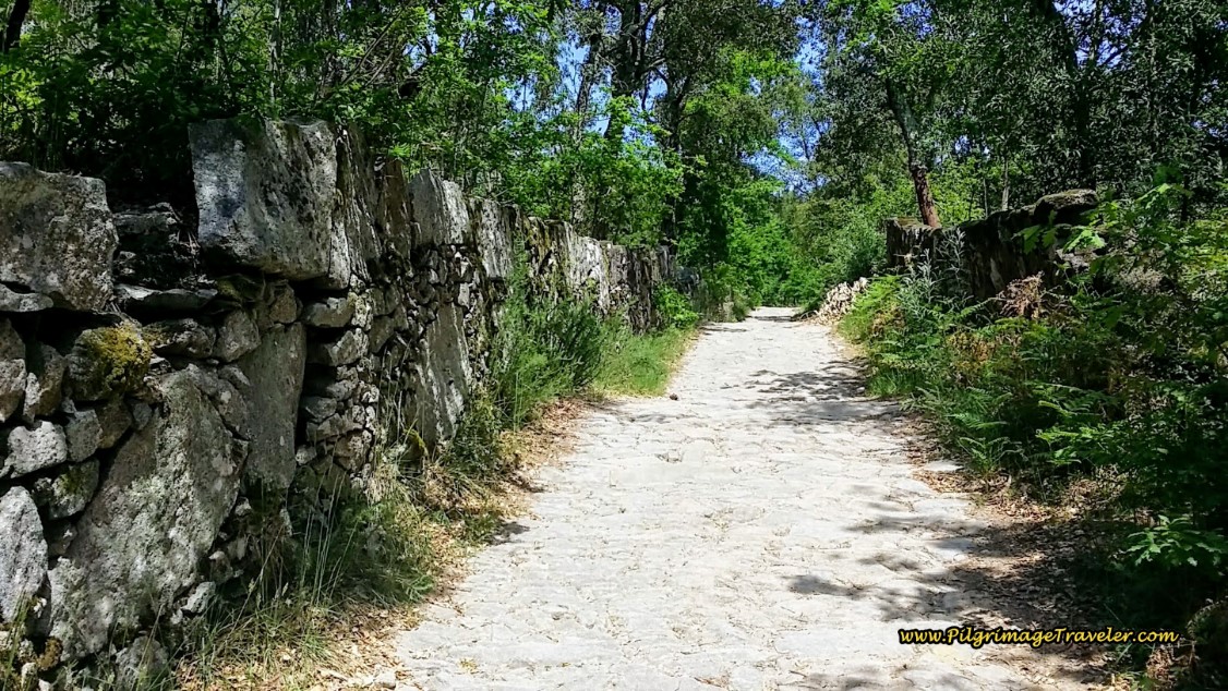 Continue on the Rua Bela Vista
When the ancient pavers end, the climb levels out, and you come to a clearing in the trees, be alert for an intersection, after about 25 kilometers, where you will turn off the Rua Bela Vista, to the left. Next, an almost immediate right turn gets you back on a northern trajectory, and onto a lane through the forest once again. You are essentially at the top of the climb!
You will walk along the top through the forest and after 450 meters, the path comes to a cobblestone road, the Rua Alto da Serra. Walk down a hill on this street and by a cluster of houses for another 400 meters. The Way leaves the road, when it bends strongly to the west and left, instead taking a dirt lane straight north by a high concrete wall, pictured below.
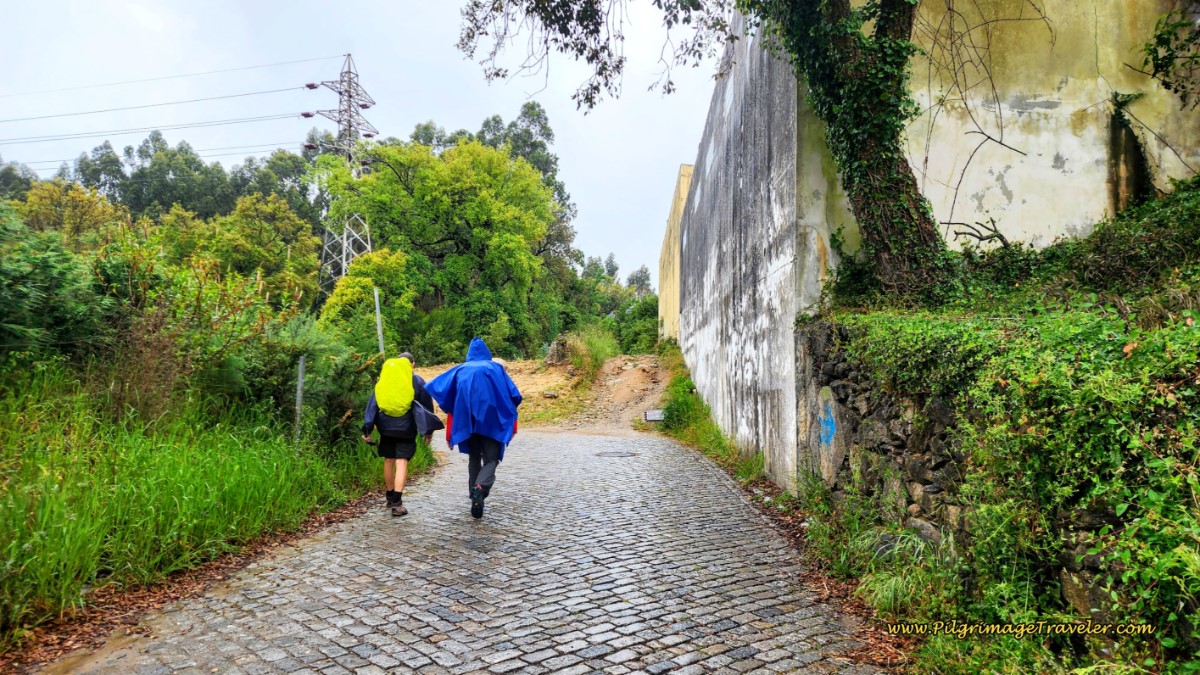 Stay Straight at High Wall, onto Dirt Lane
Climb a small hill, back up into the forest after the wall.
When you reach the top of this small hill, below, you can now tell that you are approaching a large metropolitan area.
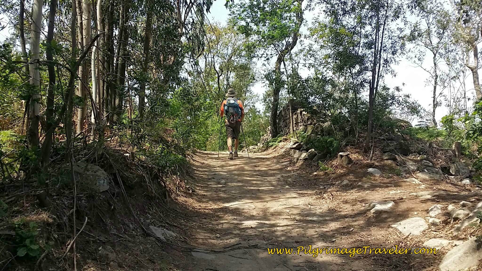 Turn off the Rua do Alto da Serra to this Path
It was amazing to me that we were so close to a major highway, and buildings when we walked along this antique Roman Road section, immediately south of the Porto area. Occasionally we could catch a glimpse of civilization, on our right shoulder, as in the photo below.
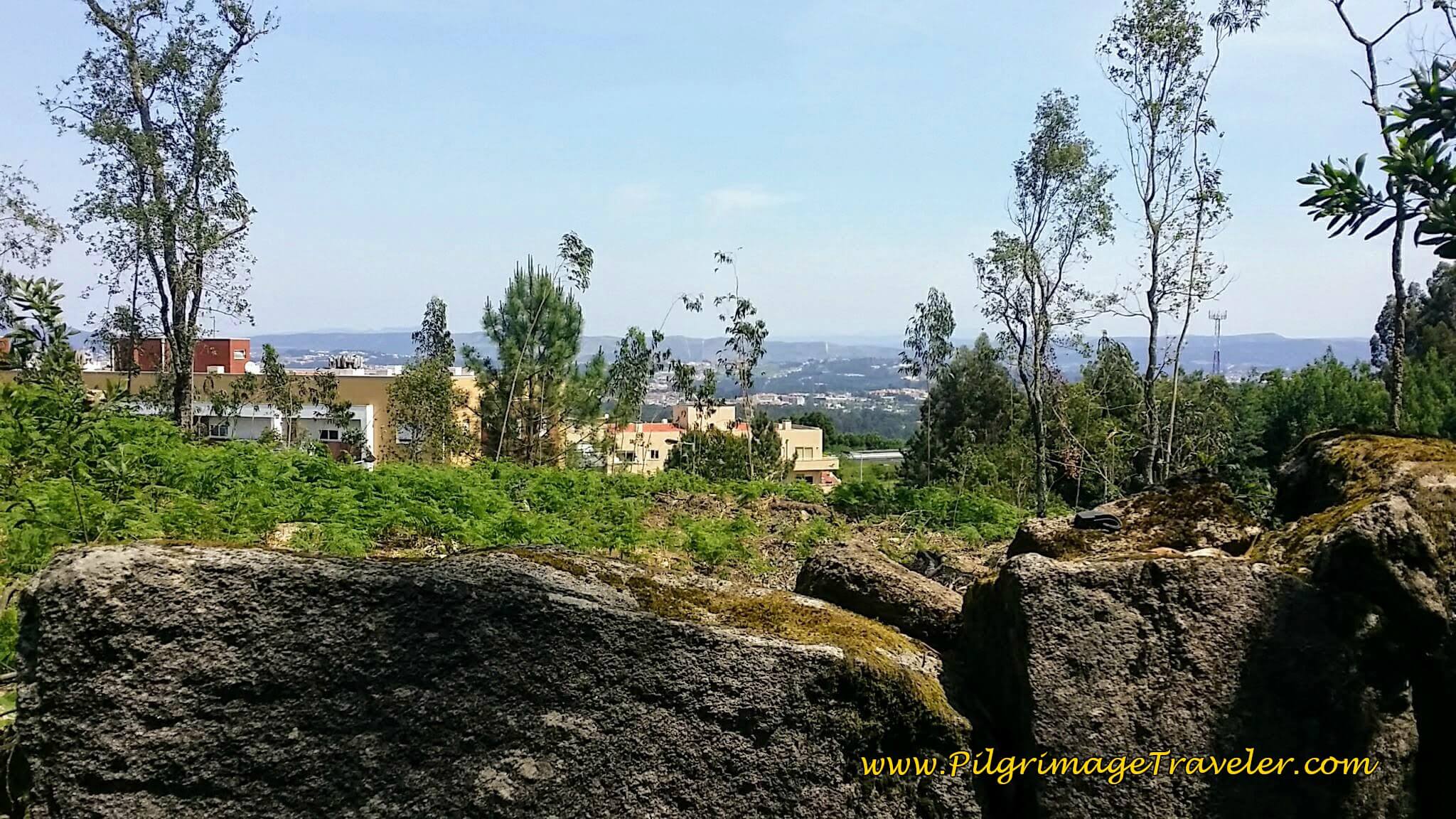 View of Porto Suburbs on the Rua do Alto da Serra
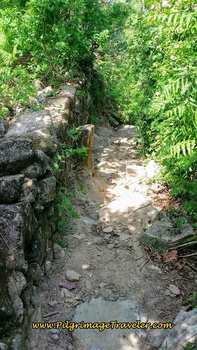
And then the path turns into a goat track along the way, and descends quite steeply, but only for a short distance!
This dirt lane/path carries on through the forest, from the wall for a total of about 700 meters, before ending at a T-intersection with a paved road, after about 26.7 kilometers total for the day. The Camino goes left at this road, followed shortly by a right turn onto this street, below, the Rua Mirante, in the suburb of Canelas. The city is just ahead! It is almost all downhill from here to the River Douro!
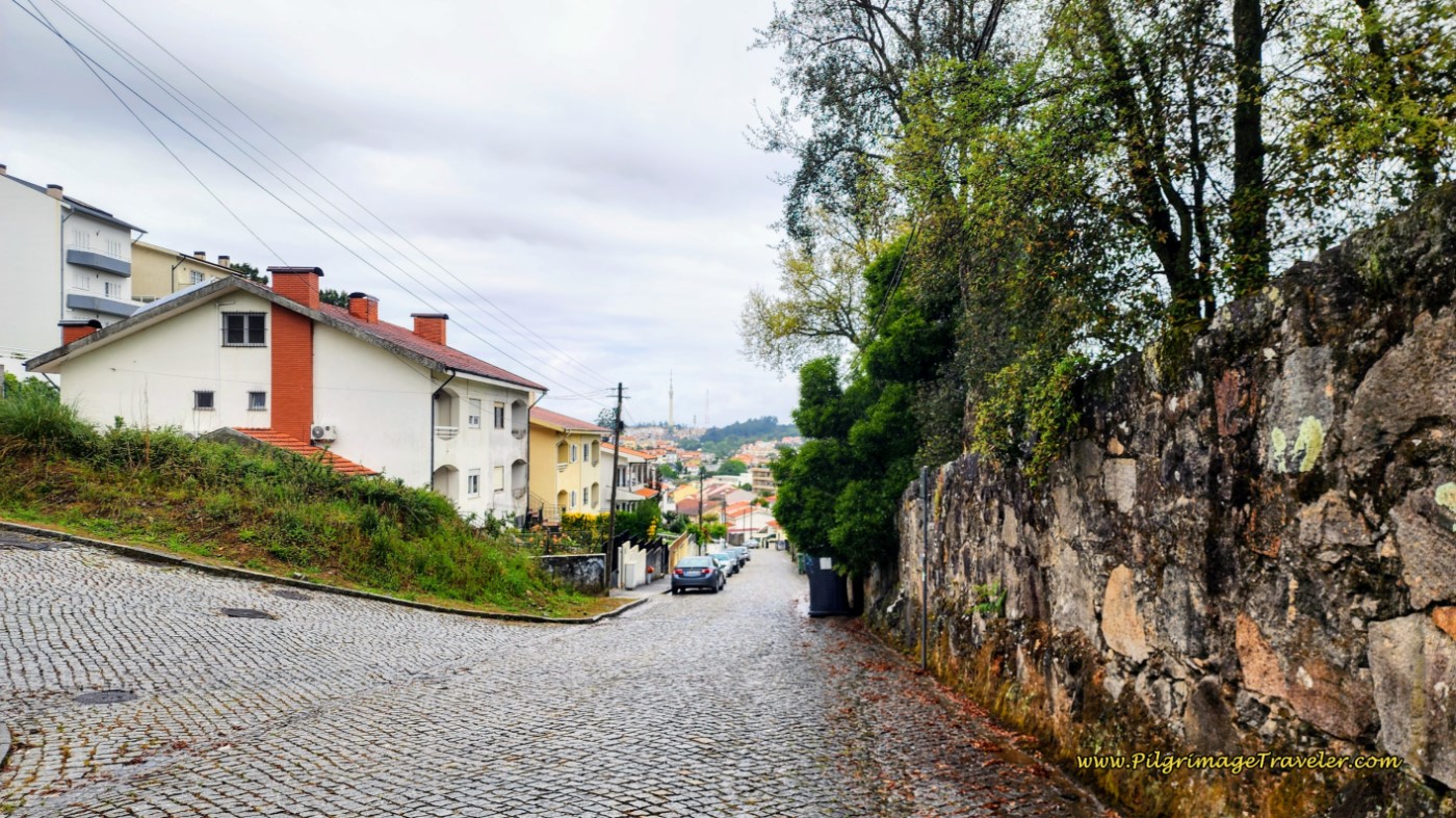 Rua Mirante in Canelas, First Glimpse of Porto
Jump to Camino Portugués Stages
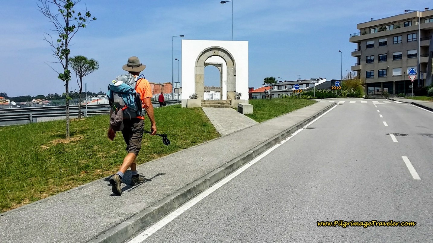
The road brought us to the outskirts of town and this welcoming archway. You have now completed about 27.3 kilometers at this archway.
We crossed the roundabout on the other side of the archway, then turned left onto the Rua Rechousa (N1) to walk over the busy A29 and through the suburb of the same name.
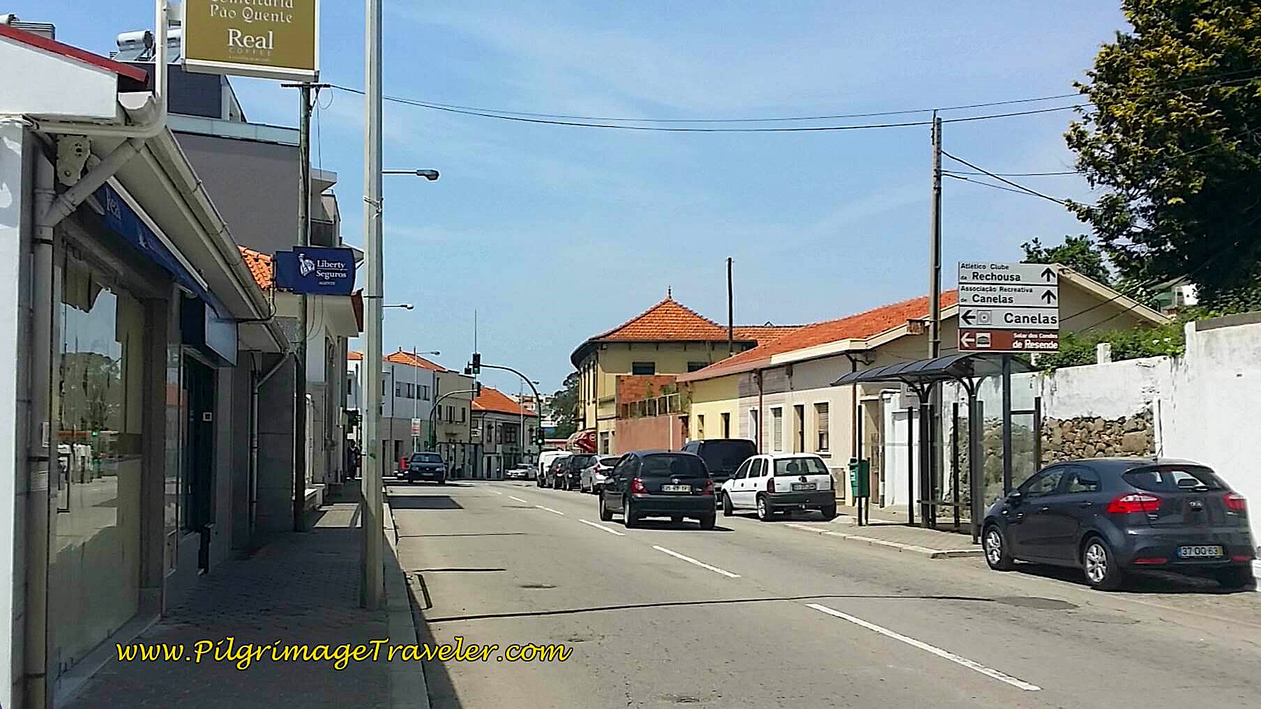 Walking on the Rua Rechousa, Day Fourteen, Camino Portugués
The Rua Rechousa becomes the "High Street of Towers," or the Rua Alto das Torres (N1), 1/2 kilometer onward.
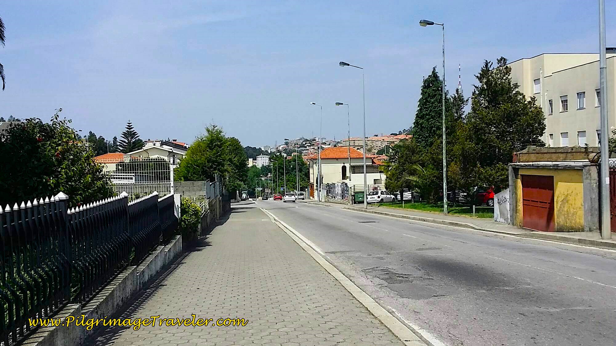 Along the Rua Alto das Torres
You can see several towers farther along as you walk down the street, over the next kilometer. At the bottom of the hill, come to this intersection with the A1, below.
At this intersection, stay to the right and walk under the A1. This overpass is after about 29 kilometers into the day.
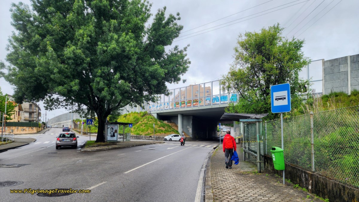 Continuing on the Rua Alto das Torres
After the overpass, the street is now named the Rua Fonte dos Arrependidos (still the N1) and you are now entering the city of Vila Nova de Gaia. Walk up the long hill in front of you for 1.3 kilometers. Along this long climb you will pass by many shops and cafes.
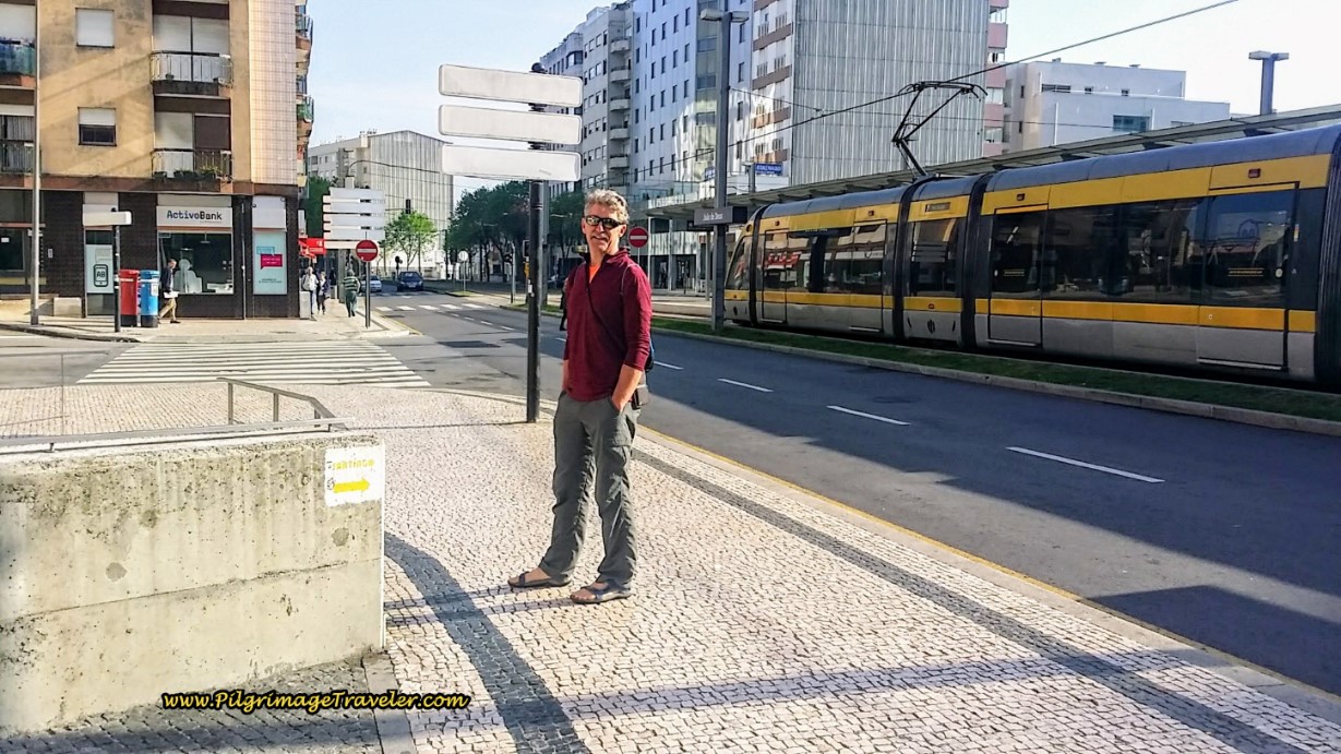
Halfway along this 1.3 kilometer climbing section, the street changes its name to the Rua de Soares dos Reis. Stay on this street until you join the main north/south artery into downtown Porto, the Avenida da República at a large traffic circle with a nice gateway sculpture and the Santo Ovidio Metro station, see below. Turn right, or northward onto this wide avenue. Porto is a straight shot from here.
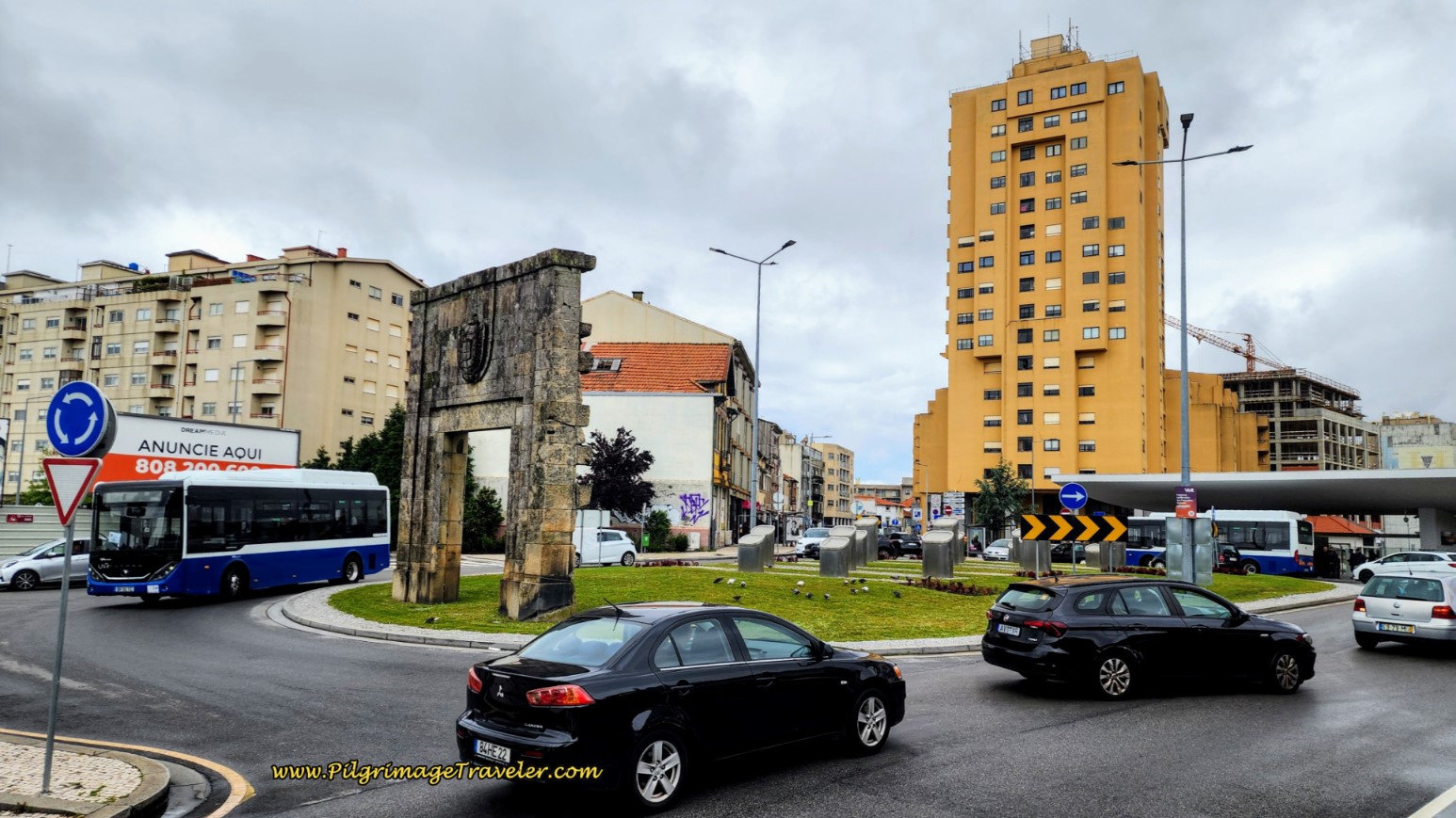 Join the Avenida da República at Traffic Circle
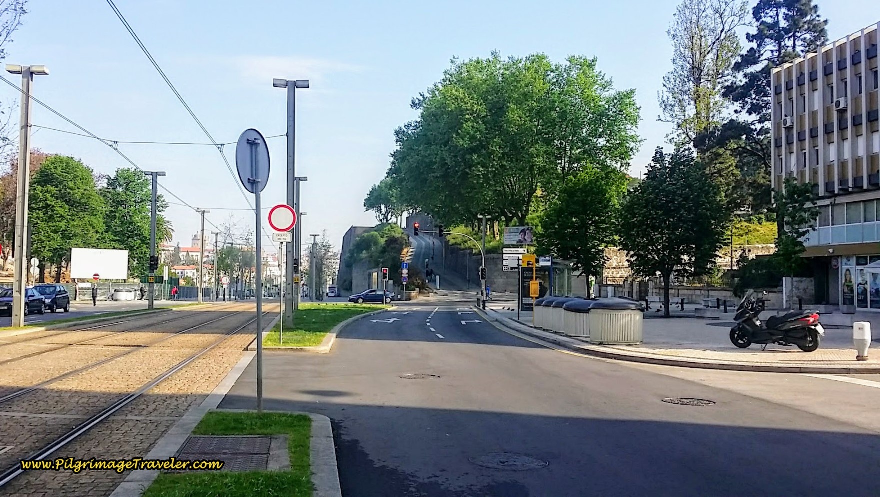
At the Santo Ovidio metro station, 30.3 kilometers into the day, it is still over three kilometers and about a 45 minute walk to the Porto cathedral!
We continued down the hill along the Avenida da República, toward Porto, keeping to the right, or east side.
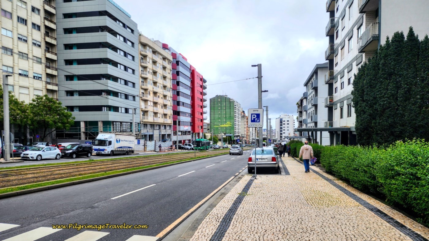 Along the Avenida da República in Vila Nova de Gaia
We left the Avenida about one kilometer later and walked westward to the Holiday Inn. I was so happy to be finished after a longer than 32 km day! If you feel the same when you arrive, there are many places to stay in Vila Nova de Gaia to finish your own day fourteen on the Portuguese Camino.
The following photos were taken the next day, when we were fresh and without backpacks, to walk the final two kilometers to the Cathedral and spend a sight-seeing day in Porto.
Just before the River Douro, there is a turn off, below, if you wanted to see the monastery, called the Mosteiro da Serra do Pilar. We actually included a visit here during our early morning walk, and I highly recommend it!
The views over the river and of Porto are spectacular from the Monastery terrace, but I did not include any photos here. See my article on Porto to view them.
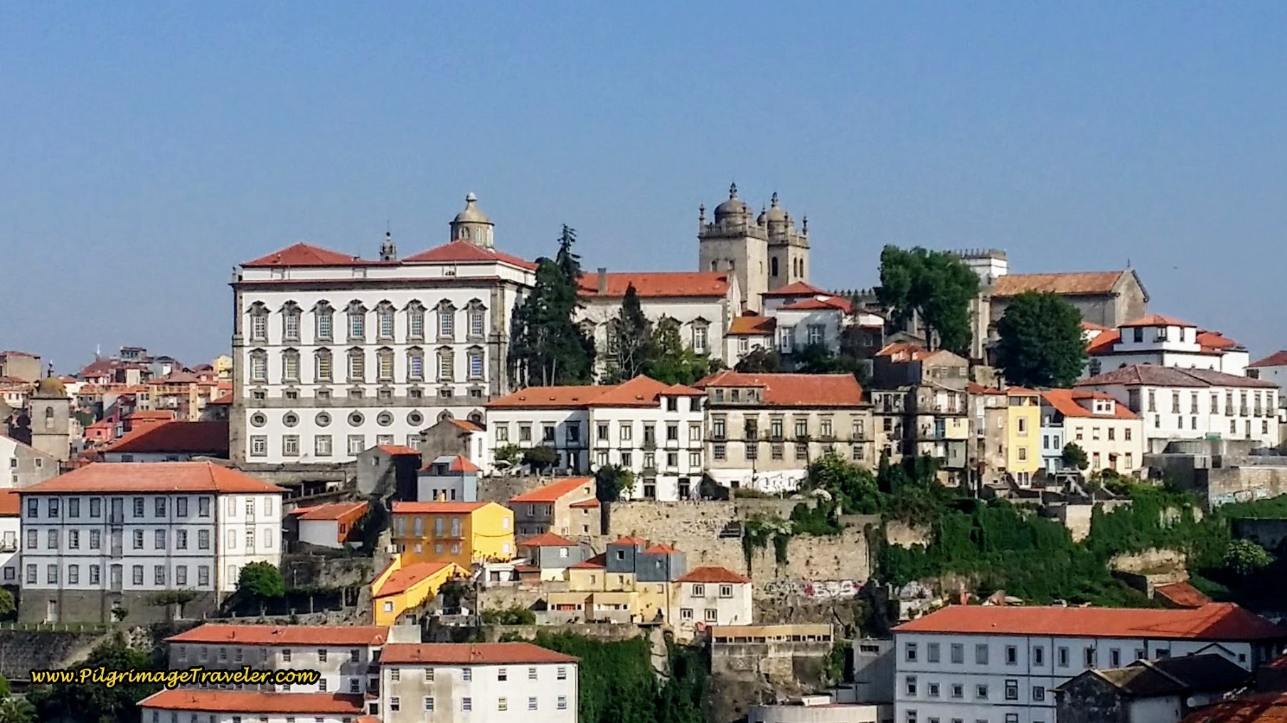
Below the monastery terrace on the right, we caught one of our first glimpses of the Cathedral of Porto ahead.
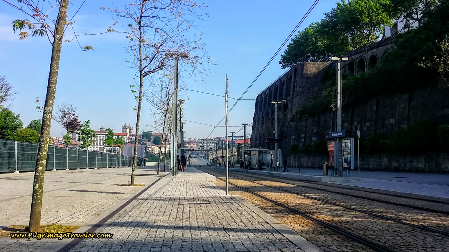 Continuing on the Avenida da República ~ First Glimpse of the Cathedral of Porto
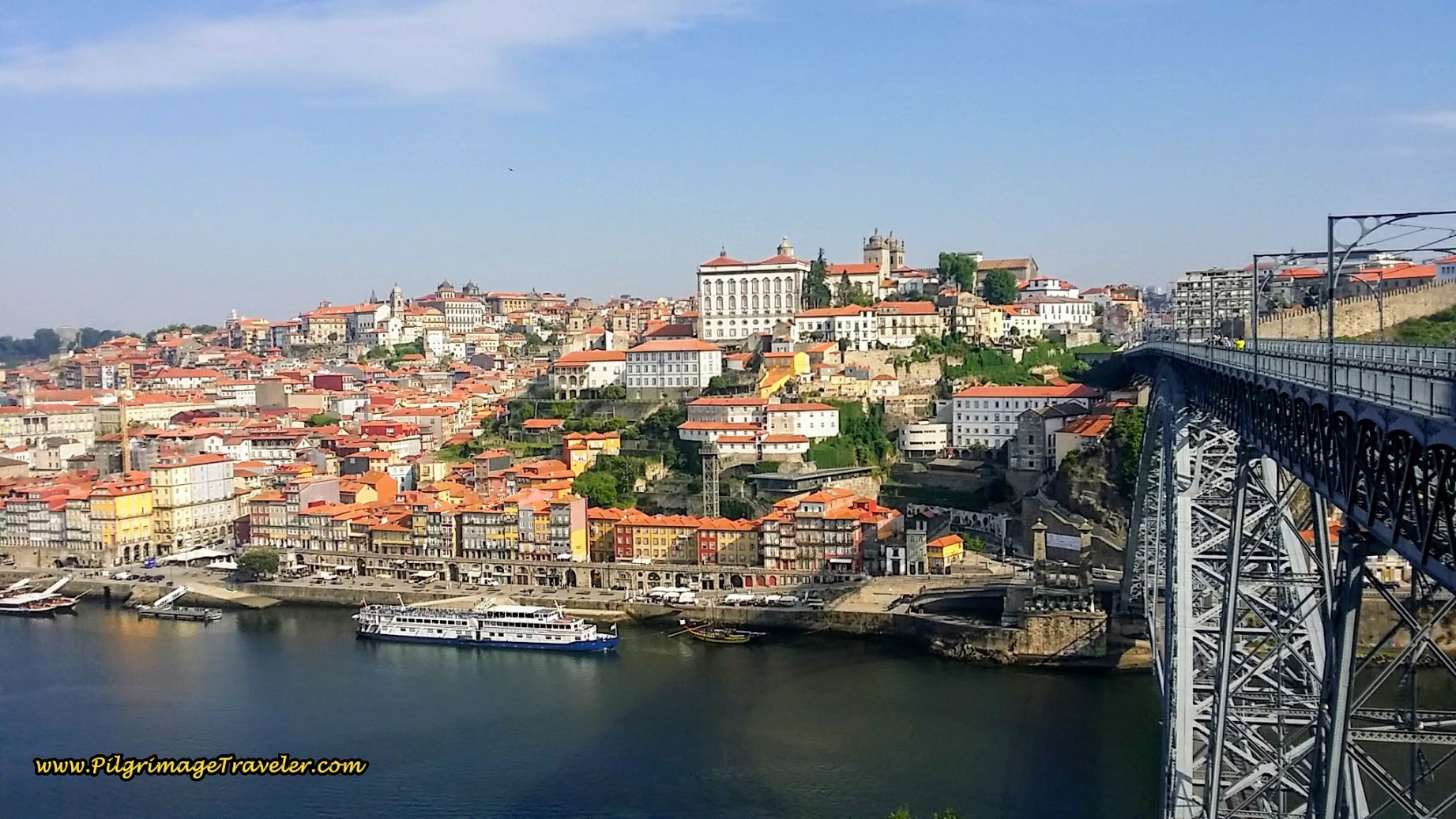
There is this look-out area, below, where you can take in the views. I snapped so many photos! Here are a few:
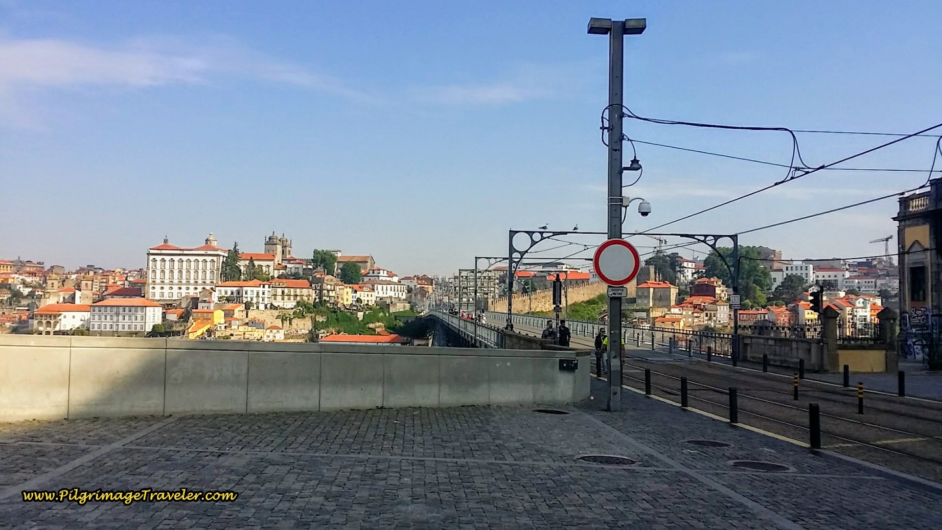 Come to a Look Out Over the Rio Douro on day fourteen of the Portuguese Way
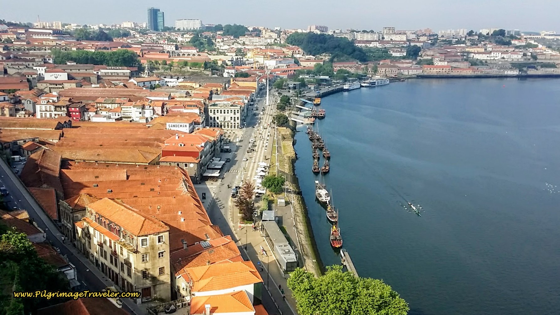 Looking West to the Famous Port Houses Along the Southern Shore of the River Douro
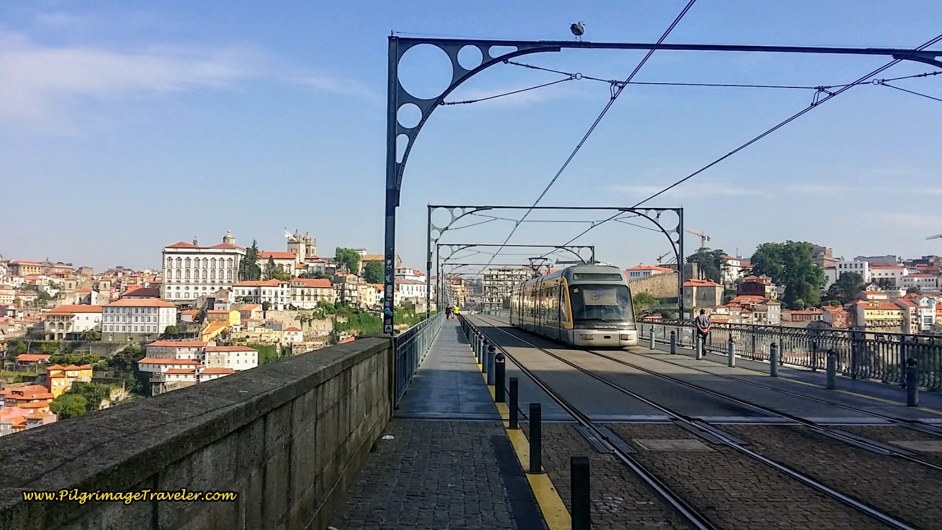
Then, you walk on this bridge, the Ponte Luis I:
The few remaining rampart walls of the city can be viewed from the bridge, called the Muralha Fernandina, and were built in the 11th and 12th centuries, according to a placard nearby.
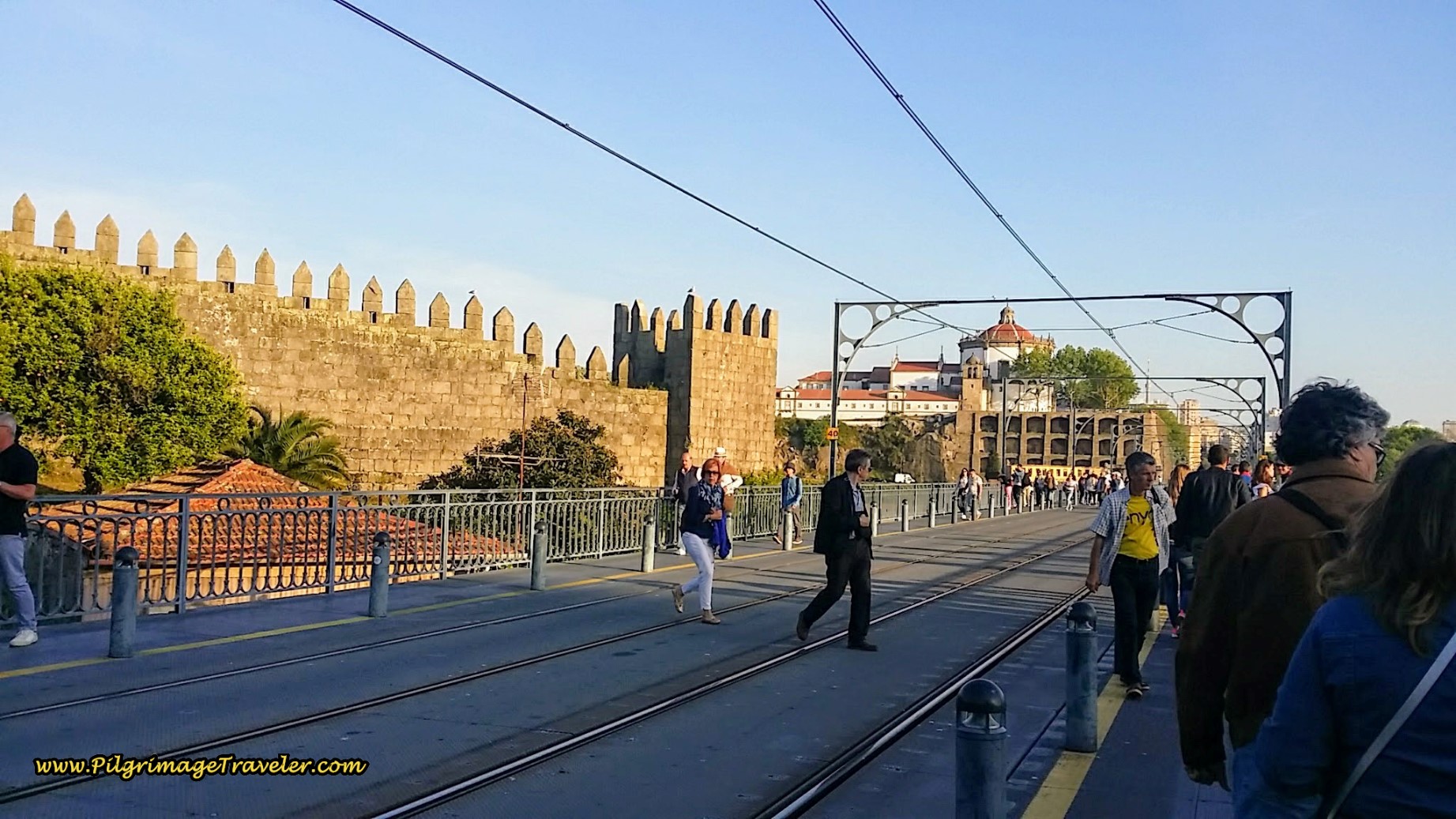 Looking Back at Rampart Walls, Muralha Fernandina and the Mosteiro da Serra do Pilar
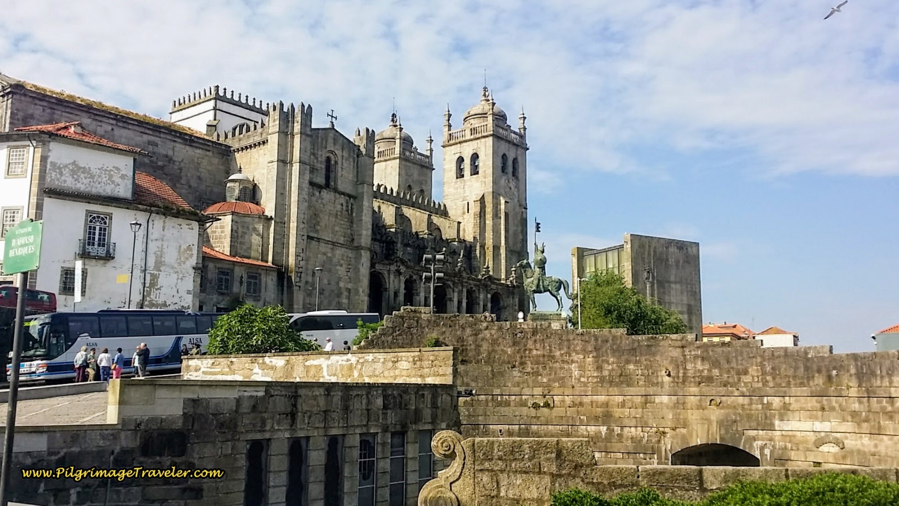
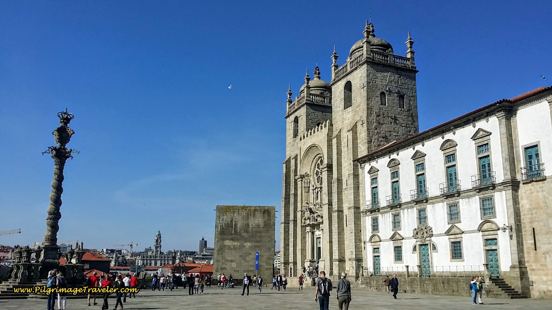
After crossing the bridge, a pedestrian ramp takes you up to the cathedral, on the promontory on a high hill. Here is the cathedral, walking past the street leading to it, to view it on the north side:
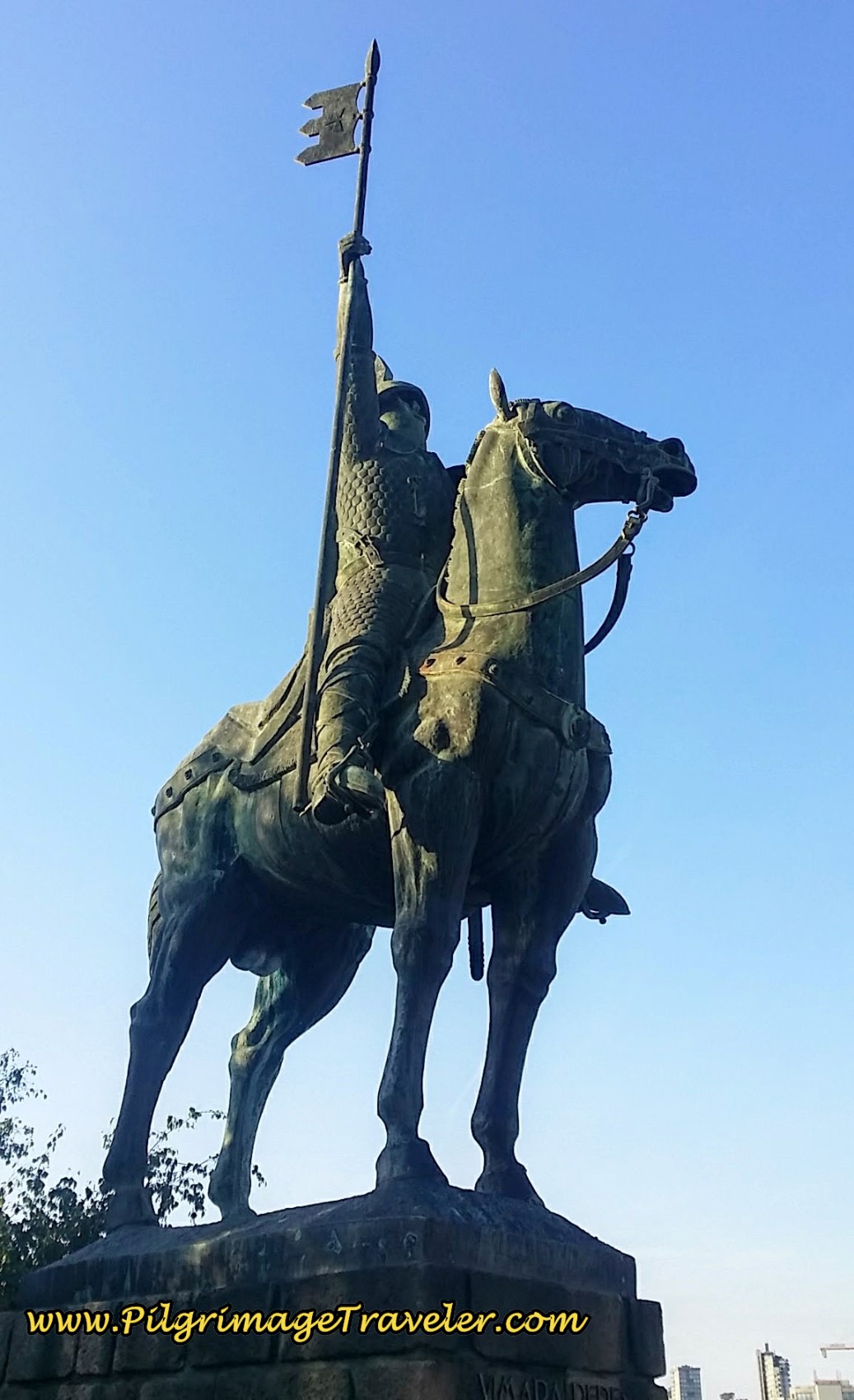
The mounted effigy of Vimara Peres, the first ruler of Portugal in the 9th century, greets you!
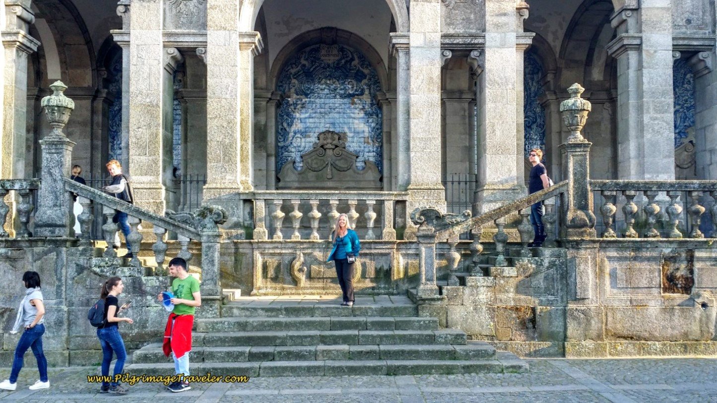
The northern portico of the Sé de Porto is lined with lovely murals. Here I am, posing like a turista for the photo!
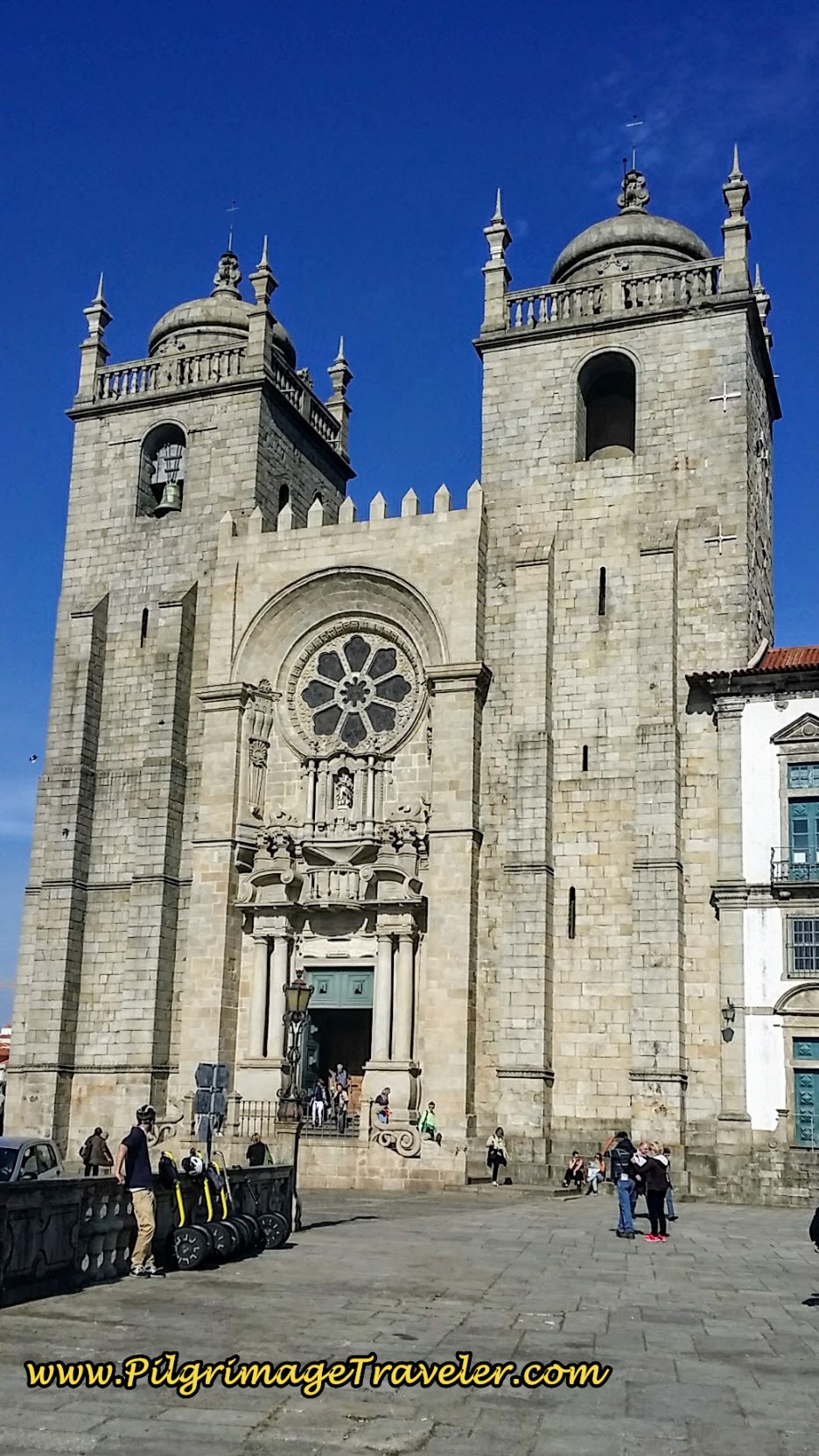
Walking around to the west side, the glory that is the cathedral comes into focus! It almost felt like arriving in Santiago!
And if you are beginning your pilgrimage from Porto, this cathedral is the official start.
We had finally arrived in the center of Porto after 14 long days walking from Lisbon. We were almost 400 kilometers into our journey of almost 700! Only 300 left to go!
If you are looking for accommodations in Porto, there are so very many of them, including economical hostels. Click here to begin your search and to see the current deals of the day. We have stayed in the lovely, economical and close to the cathedral apartments of the Chateau Flores, and definitely recommend it. However it may have a 2-night minimum stay, which was fine with us.
I did also include on the map above, some economical hostels that are worth looking into. The Albergue de Peregrinos de Porto is another 2.25 kilometers to the north of town, along the Central Route and you can see its location as well.
Lessons Learned on Day Fourteen, Camino Portugués
We knew that this day fourteen, our last day before Porto was special, as the flavor of the journey was about to change. We were thrilled to be walking into the exciting and vibrant city of Porto, yet we were sad, knowing that the many more pilgrims who start from Porto would drastically change the face of our Camino.
We had appreciated day fourteen more than most, as our energy was high to meet the length of the day. We marveled at the wonders along the way, and if our eyes stayed open, there were so many moments to take in the marvels that indeed, words could never adequately express.
Salutation
May your own day fourteen on the Camino Portugués be filled with wonders at every turn, that you have no words to describe! May your eyes be open to seeing all these wonders with new eyes, and may your heart be filled with gratitude for all that is before you! Ultreia!
**Looking for reservations in Porto? Click here to make sure you get the best place, close to the Camino and the town center!
Camino Portugués Overview
Camino Portugués Stages
Central Route: Lisbon to Porto Stages
Central Route: Porto to Santiago Stages
Senda Litoral or the Coastal Routes: Porto to Santiago Stages
Skip to Central Route Above, for Final Days 22-25 to Santiago
Variante Espiritual Stages
Please Consider Showing Your Support
Many readers contact me, Elle, to thank me for all the time and care that I have spent creating this informative website. If you have been truly blessed by my efforts, have not purchased an eBook, yet wish to contribute, I am exeedingly grateful. Thank you!
Search This Website:
🙋♀️ Why Trust Us at the Pilgrimage Traveler?

We’re not a travel agency ~ we’re fellow pilgrims! (See About Us)
We've trekked Pilgrimage Routes Across Europe since 2014!
💬 We’ve:
- Gotten lost so you don’t have to. 😉
- Followed waymarks in the glowing sunlight, the pouring rain and by moonlight. ☀️🌧️🌙
- Slept in albergues, hostels & casa rurals. Ate and drank in cafés along the way. 🛌 😴
- Created comprehensive and downloadable GPS maps and eBook Guides, full of must-have information based on real pilgrimage travels. 🧭 🗺️
- Shared our complete journeys, step by step to help YOU plan your ultimate pilgrimage and walk with your own Heart and Soul. 💙✨
Every detail is from our own experiences. Just fellow pilgrims sharing the Way. We have added a touch of spirituality, heartfelt insights and practical guidance from the road ~ offering a genuine connection to the spirit of pilgrimage. Tap into the wisdom of seasoned pilgrims!
Ultreia and Safe Pilgrimage Travels, Caminante! 💫 💚 🤍
Follow Me on Pinterest:
Find the Pilgrimage Traveler on Facebook:
Like / Share this page on Facebook:
***All Banners, Amazon, Roamless and Booking.com links on this website are affiliate links. As an Amazon associate and a Booking.com associate, the Pilgrimage Traveler website will earn from qualifying purchases when you click on these links, at no cost to you. We sincerely thank you as this is a pilgrim-supported website***
PS: Our eBook Guide books are of our own creation and we appreciate your purchase of those too!!
Shroud Yourself in Mystery, along the Via de Francesco!
Walk in the Footsteps of St. Francis, and Connect Deeply with the Saint and to Nature in the Marvelous Italian Countryside!
Need suggestions on what to pack for your next pilgrimage? Click Here or on the photo below!
Find the Best Hotel Deals Using This Tool!
Carbon Trekking Poles ~ My Favorites!
Carbon fiber construction (not aluminum) in a trekking pole makes them ultra lightweight. We like the Z-Pole style from Black Diamond so we can hide our poles in our pack from potential thieves before getting to our albergue! There are many to choose from! (See more of our gear recommendations! )
Gregory BackPack ~ My Favorite Brand
Do not forget your quick-dry microfiber towel!


















Your Opinion Matters! Comments
Have you had a similar experience, have some advice to give, or have something else you'd like to share? We would love to hear from you! Please leave us a comment in the box below.