- ~ Home
- ~ Camino Portugués (The Portuguese Way)
- Day Twenty-One, Senda Litoral, A Ramallosa to Vigo
Jump to Camino Portugués Stages
Day Twenty-One on the Senda Litoral of the Camino Portugués
~ A Ramallosa to Vigo, 21.2 Km (13.2 Miles)
Disclosure: the PilgrimageTraveler.com is an associate of Booking.com, Roamless, and Amazon. As associates of these merchants, we earn from qualifying purchases from our links.
Our day twenty-one on the Senda Litoral of the Camino Portugués was a fabulous walk along the sea, passing beach after beach! It is now well waymarked so you will have no problem finding your way.
This route is the clear choice for the coast and beach lovers, and judging by the number of pilgrims on the Senda Litoral versus the Coastal Route, many more pilgrims are beach lovers!
Just beware that in the warmer months, it can get quite hot through this section and many pilgrims have been caught off-guard. Be sure you have plenty of water, hat and sunglasses, and seek shade often if the day is hot. Or better yet, perhaps, choose the wooded Coastal Route instead.
"The pilgrim leaves a mark on the road, but the road leaves a much deeper mark on the pilgrim." ~ Author Unknown
🙋♀️ Why Trust Us at the Pilgrimage Traveler?
We’re not a travel agency ~ we’re fellow pilgrims! (See About Us)
We've trekked Pilgrimage Routes Across Europe since 2014!
💬 We’ve:
- Gotten lost so you don’t have to. 😉
- Followed waymarks in the glowing sunlight, the pouring rain and by moonlight. ☀️🌧️🌙
- Slept in albergues, hostels & casa rurals. Ate and drank in cafés along the way. 🛌 😴
- Created comprehensive and downloadable GPS maps and eBook Guides, full of must-have information based on real pilgrimage travels. 🧭 🗺️
- Shared our complete journeys, step by step to help YOU plan your ultimate pilgrimage and walk with your own Heart and Soul. 💙✨
Every detail is from our own experiences. Just fellow pilgrims sharing the Way. We have added a touch of spirituality, heartfelt insights and practical guidance from the road ~ offering a genuine connection to the spirit of pilgrimage. Tap into the wisdom of seasoned pilgrims!
Ultreia and Safe Pilgrimage Travels, Caminante! 💫 💚 🤍
Map and Stats of Day Twenty-One, Senda Litoral, Camino Portugués
Here are my google maps for day twenty-one, created from my uploaded GPS tracks for the day, including both the Senda Litoral and the Coastal Route. I placed albergues, hotels, cafés, supermarkets and churches and other places of interest on the map. There are plenty of services along the way on this entire route, as you can see from the map below. I added some for your reference, but there are many more.
There is also an albergue in Saiáns, farther north after about 8.6 kilometers, if you also want to walk farther than A Ramallosa on day twenty, yet stay on the Senda Litoral. This is how to turn three stages, days twenty, twenty-one and twenty-two Part A into only two stages.
The Albergue de Peregrinos San Xurxo is conveniently located between the two routes, less than one kilometer east of the Sendal Litoral and only a few meters west of the Coastal. It is located on the first red crossover on the map below. If you wanted to stay in the albergue, you could switch to the inland Coastal Route from here to avoid backtracking to the Senda Litoral for a total of 29 kilometers to Redondela the next day. Or you could backtrack and continue on the Senda Litoral for a total of 31 kilometers to Redondela.
The second red crossover is an available option to cut off a few kilometers and avoid much of Vigo, including the hill climb from the docks, if you are staying away from the waterfront in one of the many accommodations near where the routes meet in Lavadores.
Here are two elevation profiles for the day, the first to the municipal albergue 21.2 kilometers from the medieval bridge in A Ramallosa, and the second, which adds the climb from the docks in Vigo to the center of town where the Camino joins the Coastal Route, for a total of 23.1 kilometers (14.4 miles).
In the first profile there is what appears to be a big climb in the middle, however it is only 57 meters (187 feet). This climb is the one from sea level up to the highway, the PO-325, and the return to sea level to finish the day.
 Elevation Profile for Day Twenty-One, Senda Litoral, Camino Portugués, A Ramallosa to Vigo Municipal Albergue
You can see the steep climb up at the end of this profile, of 96 meters (315 feet) along the pavement through the heart of the metropolis of Vigo. It is not that pleasant, but it does have many distractions to aid your journey!
 Elevation Profile for Day Twenty-One, Senda Litoral, Camino Portugués, A Ramallosa to Vigo to the Coastal Route Junction
👣 Camino Portugués eBook Guides
Enjoy all the valuable info from our web pages ~ offline, ad-free, and beautifully formatted, including our photos. Why carry a heavy guidebook when you can use a nimble digital version on your device?
Our guides are frequently updated and uniquely entertaining, as we share our own Camino story along the way.
📲 Instant download. 💸 Money-back guarantee. 🔄 Free updates for 1 year.
Buy only what you need ~ or grab all four for the price of three (25% savings). Click here for more information or BUY NOW at only 17.85!
Jump to Camino Portugués Stages
Photo-Rich Travelogue of Day Twenty-One, Senda Litoral, Camino Portugués
We started our day from El Pazo Pías Albergue, after a nice cold breakfast in our room, purchased from the Gadis supermarket just down the street the day before. For coffee, I just stir instant into a glass of milk for a cold latte! It works for me.
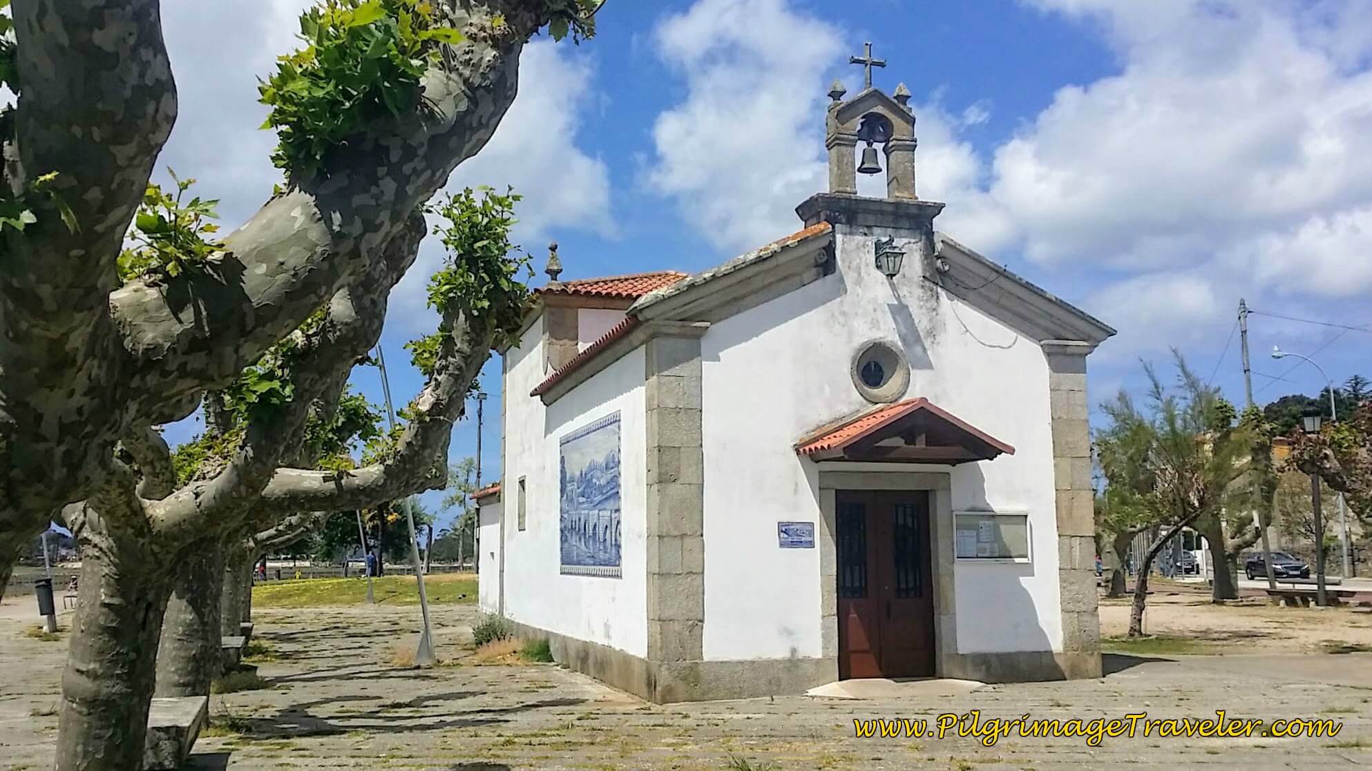
At the large roundabout at the end of the two bridges, where we left off on day twenty, look toward the river, beyond the highway to the west to find a cross and this lovely little chapel, the Capela San Campio, pictured. It looks very Portuguese with its blue murals. I took this photo in the daylight the day before.
As you face the chapel, to the right side, there is a bikeway that continues to follow the Río Miñor paralleling the PO-325. The Senda Litoral follows this path. A few meters later, at the taxi stand, pass by the tourist information center, below. It is important to notice the sign on the building. It clearly shows the “Caminos Santiago Through Nigrán.” As you may also notice, these paths along the Senda Litoral are designated by green shells! But you will find the green shells and arrows, only until the Nigrán area. Past Nigrán it will be mostly yellow arrows.
Also notice the huge child’s playground on the left that you will pass by. Continue on this peaceful riverwalk for about 1.1 kilometer. It was still and beautiful in the early morning light.
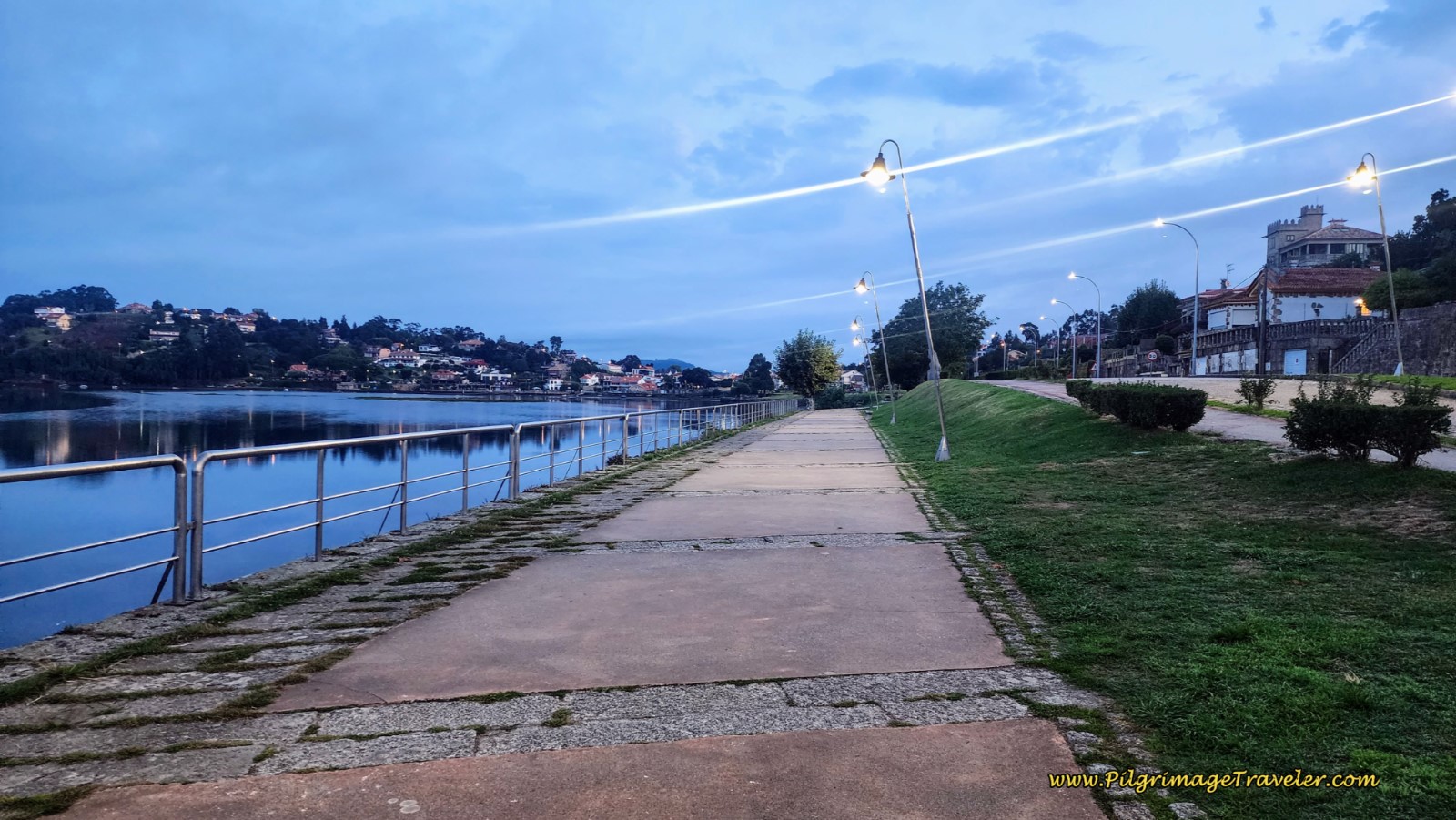 Río Miñor Riverwalk on Day Twenty-One, Senda Litoral, Camino Portugués
You can see the peninsula, the Monte Lourido ahead where the mouth of the river narrows, and the large estuary ends. This is where the bikeway ends.
Watch out for the small green sticker with the shell and arrow on the sign, below, telling you to turn to the left, off the PO-325, but to continue along the waterfront at the mouth of the river on this side road, called the Rúa Foz (Mouth Street).
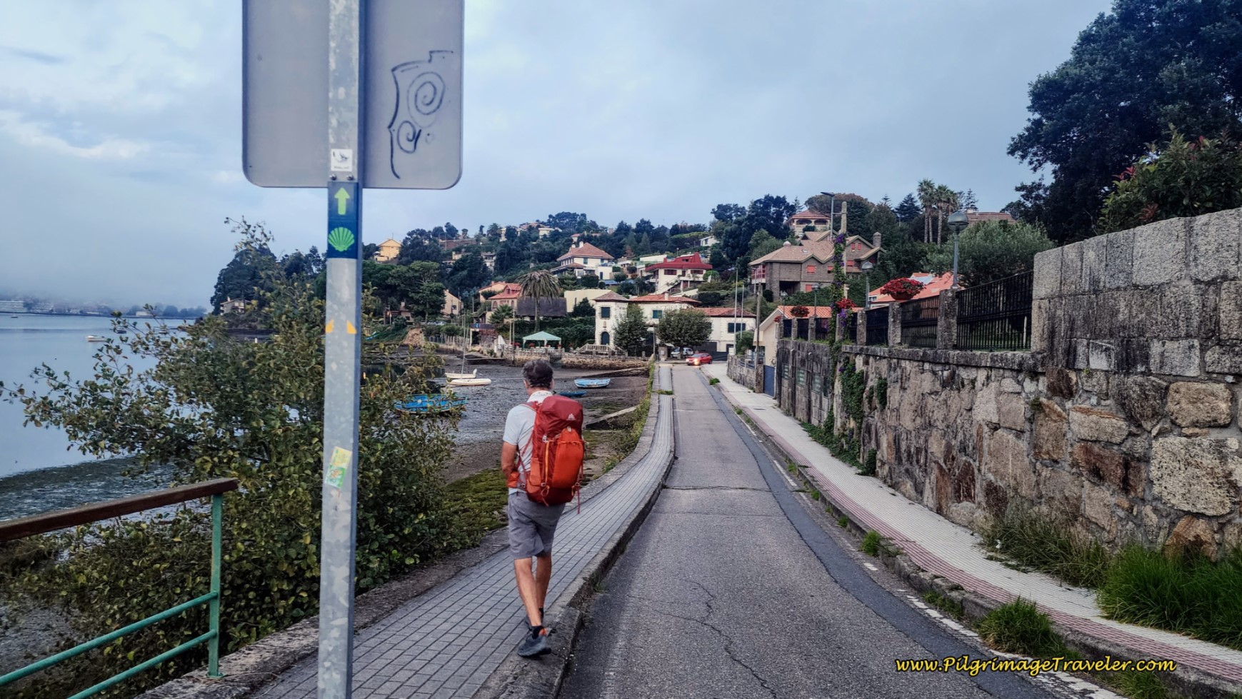 Left Turn onto Rúa Foz
When the road bends to the right, the Senda Litoral continues northward across the peninsula. One quarter kilometer later, come to a small roundabout, where you walk straight through and onto the Avenida Praia America, following the little sticker with its green arrow on the sign.
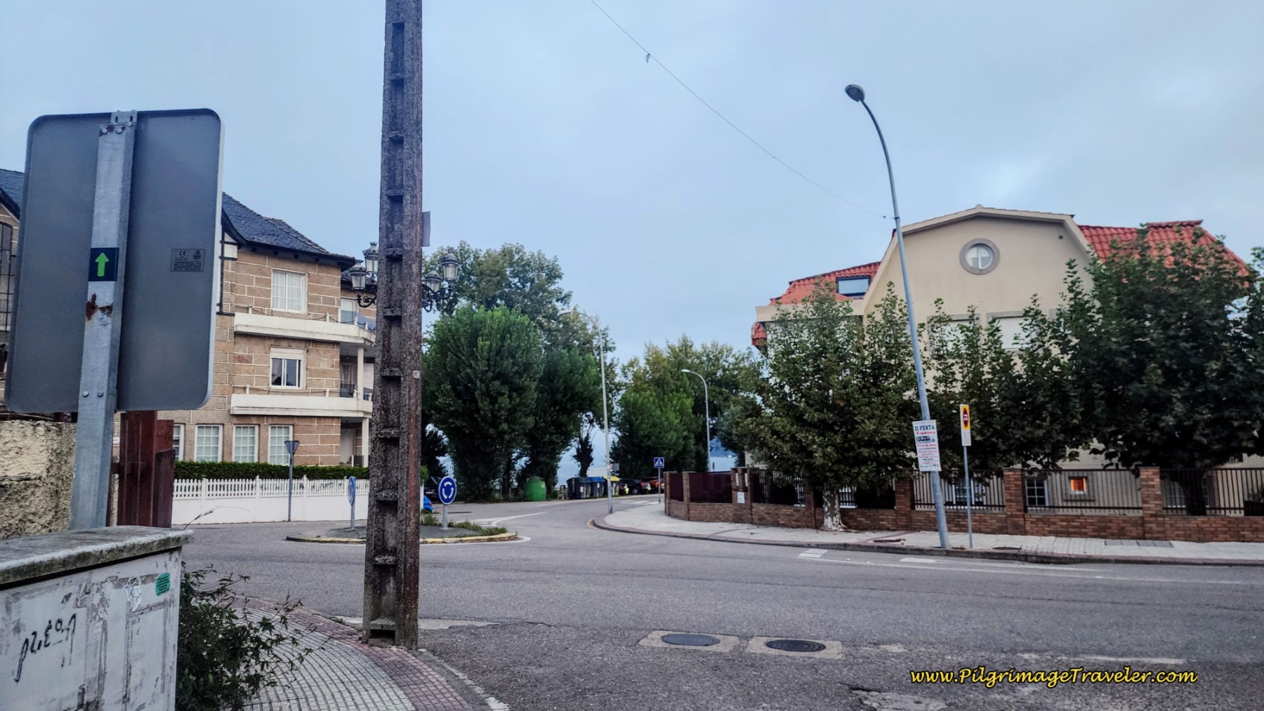 Straight Through Roundabout onto the Av. Praia America
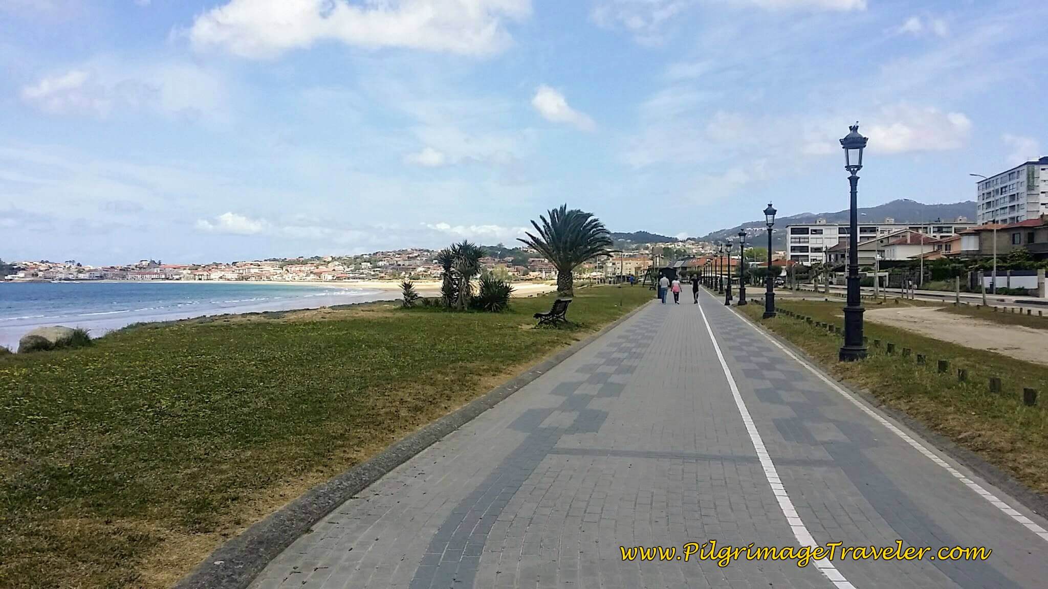
After a few more meters, come to a parking area with a large circle at the entrance to the long beautiful Praia America beach. You can hop over here to walk upon the nice walkway or at any time you can choose to walk upon the long, lovely sandy beach itself! The choice is yours! After the next parking lot, pass a fountain and this is how the beach promenade appears, below.
Pass the Hotel Miramar, along the Avenida, at a nice location right across from the beach. Book ahead in the summer! (If you search for accommodation on booking.com around the Praia America, there are so many of them, but most require multiple night stays and/or they are larger and pricier homes and apartments, not appropriate for the pilgrimage traveler. I will only give you appropriate accommodations as we go along!) Arrive at the Praia America sign, after about ½ kilometer along the beach.
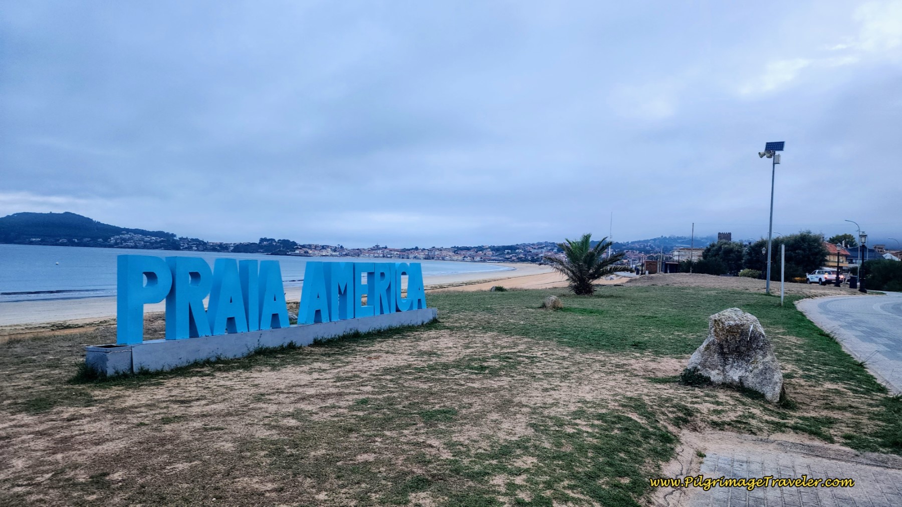 Praia America
In past years we have chosen to walk on the beach, as you can see! This last time, we did not. If ever there was a place to walk on the beach, the Praia America is the place with its hard-packed sand!
If you choose not to walk on the beach, you will have a wonderful walk anyway, just beside it on the continued paved promenade, and at times on boardwalks that go inland through dune-protected areas. Watch for water fountains and restrooms along this walkway that are readily available on the public beach. You will have access to the beach again, at various points, like the beach path, shown below. You can see the Baiona castle across the bay. It is a wonderful beach!
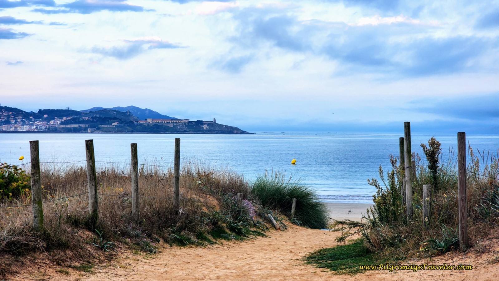 Pathway to the Beach, Castelo Across the Bay
After almost two kilometers on these walkways, at about 3.4 kilometers from the start at the chapel, the promenade joins the street for a few meters, then turns left onto a cobblestone street, to enter the Praia de Panxón promenade, shown below.
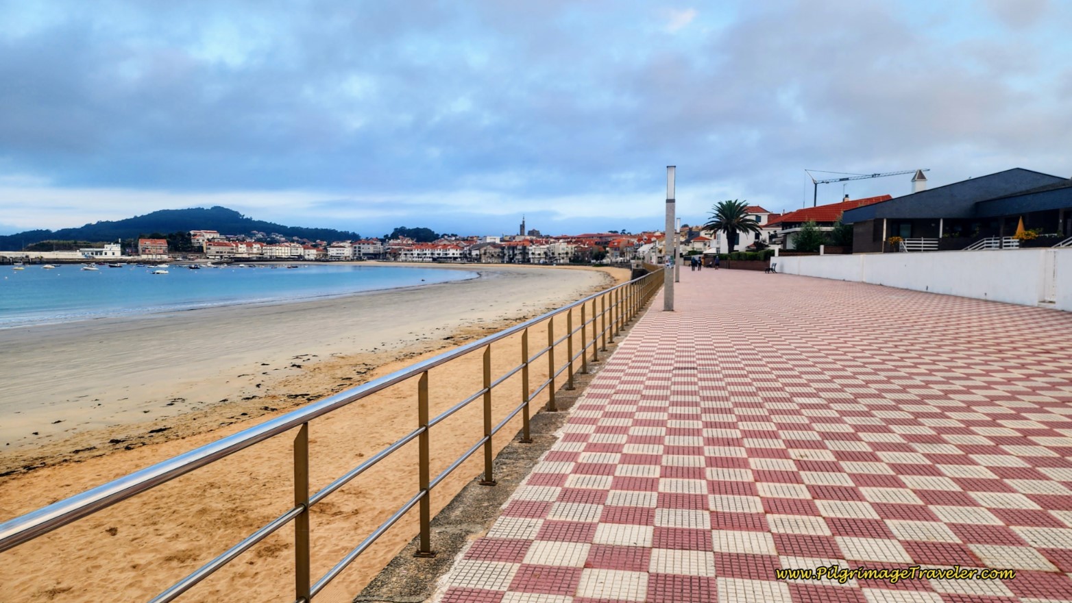 Enter the Panxón Beach Promenade
This new, checkered promenade continues for the next 400 meters, and when it ends, the Senda Literal continues on a sidewalk along the Paseo Marítimo instead. The Senda Litoral walks by many restaurants and shops, all closed up tight in the early morning hours. We began to see more pilgrims through here, looking for an open café! And we finally saw an open one, 300 meters along the street, just beyond the small roundabout, where the Senda Litoral turns away from the beach after 4.2 kilometers total, and continues straight and up a slight hill onto the Rúa Tomás Mirambell to cross the next small peninsula.
We continued onward, since we had already had our breakfast. However, if you were to turn to the right at this little roundabout instead and onto the Rúa do Mariñeiro, walking up the hill you will encounter a very unusual church in 240 meters, the Parroquia de San Xoán de Panxón. There is within the courtyard of this church a 10th century remnant of an archway. Click on the link above for more information if you’d like to take this short diversion.
The Way forward guides you with continued green and yellow arrows, seen on the electrical box, below, as you approach another very small beach, the Praia de Madorra on the other side of the small peninsula. Pick up the boardwalk to follow the beach at the street level. This boardwalk and beach are only 250 meters long.
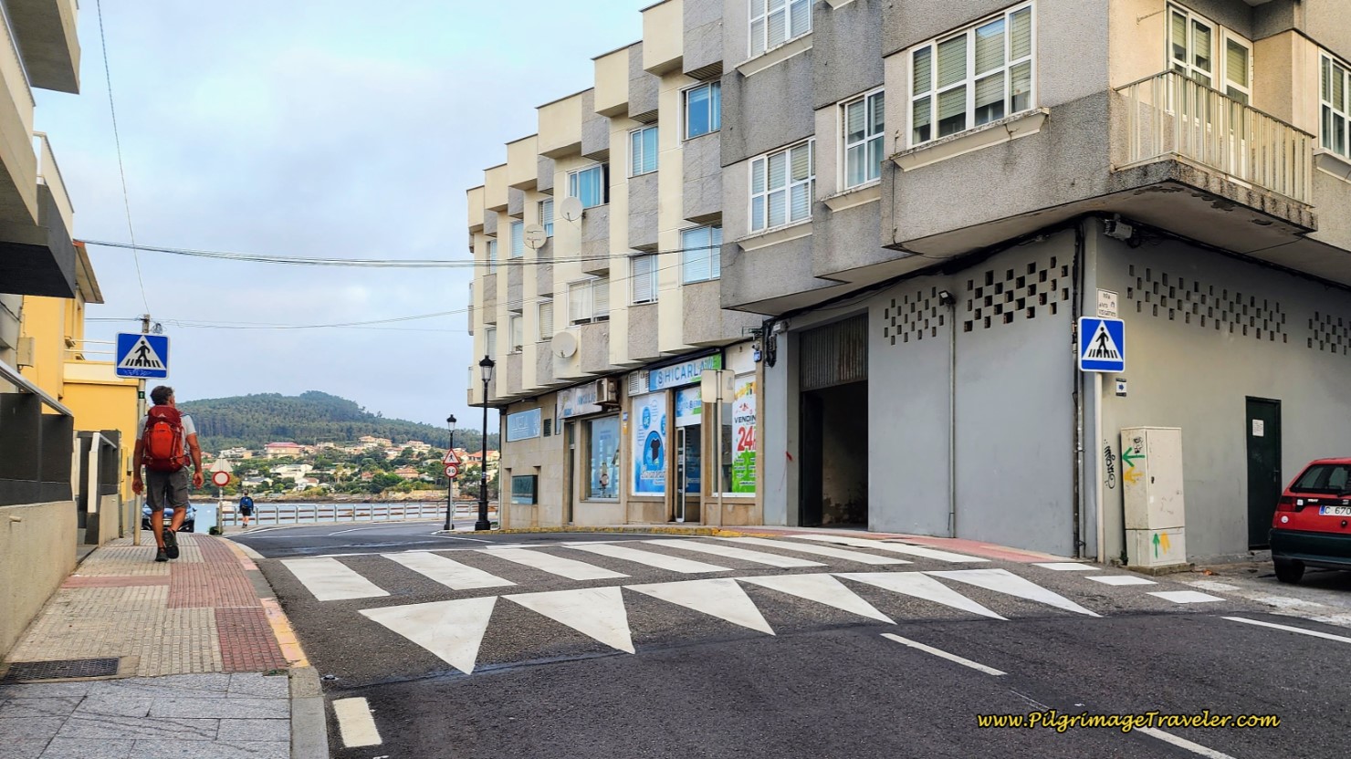 Cross Peninsula on the Rúa Tomás Mirambell
On the north side of the Praia de Madorra, continue along the Rúa Tomás Mirambell on a strong uphill, below, with the Monte Ferro peninsula to your left. This is the first little hump that you see on the elevation profile. But relax, it is only 300 meters long for an elevation gain of only 25 meters.
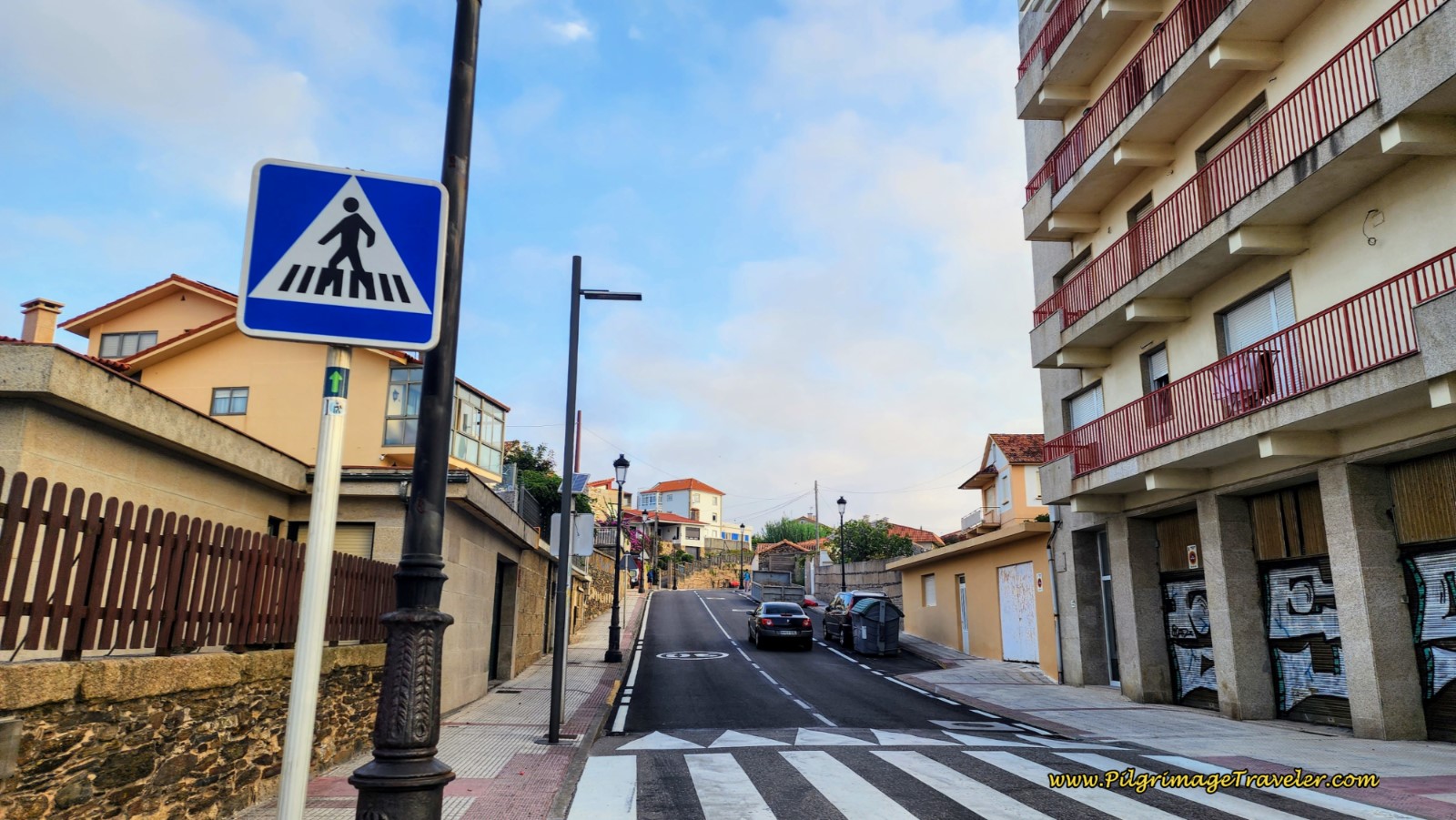 Begin First Climb on the Rúa Tomás Mirambell
When you reach the top, along this street there are two possible pilgrim accommodations, the Pensión Residencia La Chica, with dormitory beds and the Patos Beach House with inexpensive rooms.
As you approach the waterfront once again, you will join a lovely promenade along the next beach, the Praia de Patos, after about 5.5 kilometers.
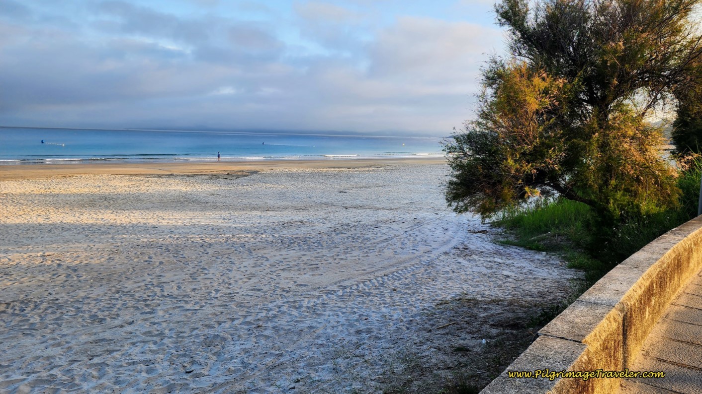 Praia de Patos, on Day Twenty-One, Senda Litoral, Camino Portugués
The Hostal Restaurante Montevideo is on your right and also has reasonably priced rooms. Continue along this beach, with lots of possibilities if you need a bite, jogging around a couple of surf shops and picking up this narrow beach road, below, the Paseo da Areosa.
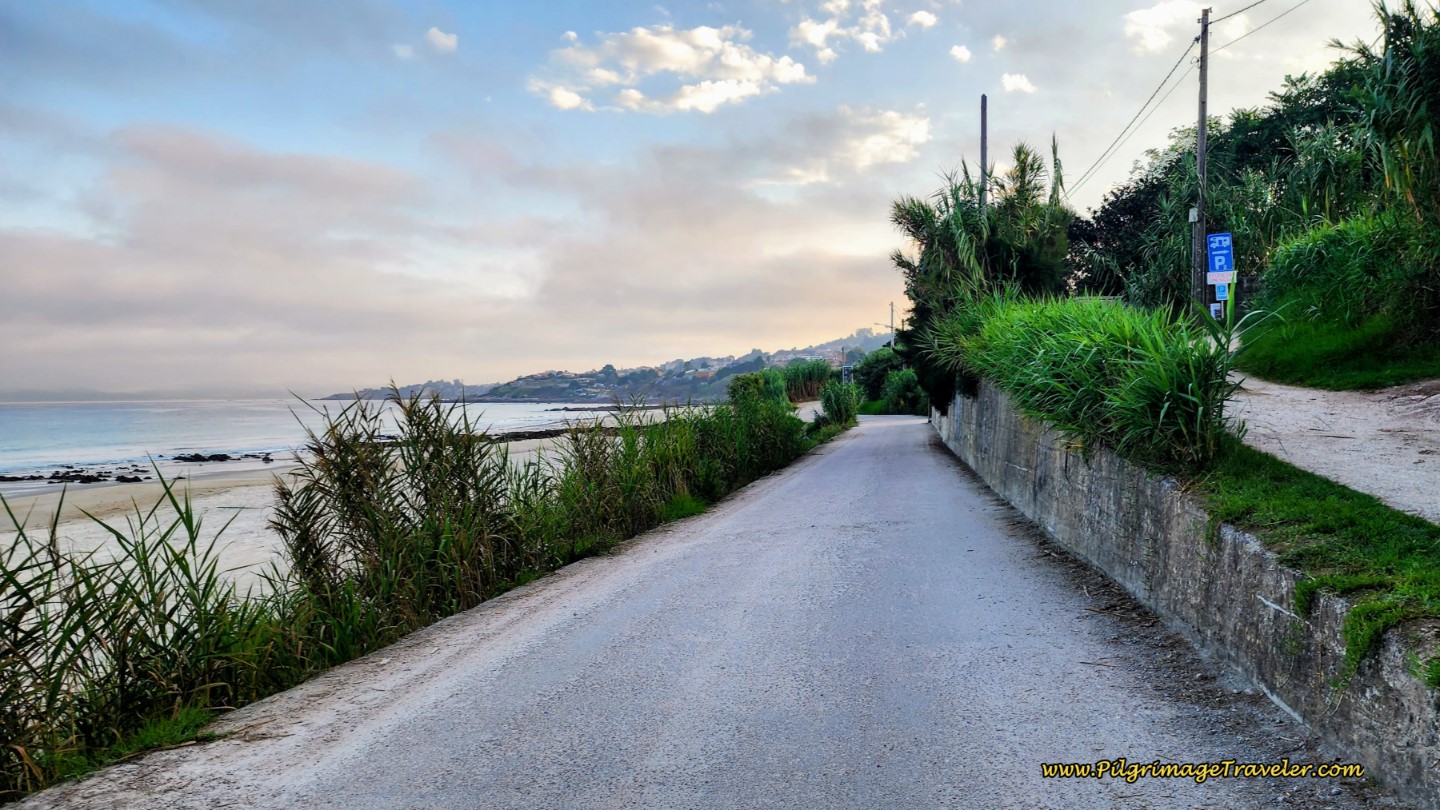 Waterfront Paseo da Areosa
About 300 meters after the surf shops, the Paseo da Areosa takes a left turn onto a narrow sandy lane with high walls. After 175 meters more, it comes to an abrupt end at this wall at a private residence. You can perhaps see in the next photo a yellow arrow on the rock, pointing downward! This indicates that you take a left and descend onto the actual beach, a small one called the Praia de Prado.
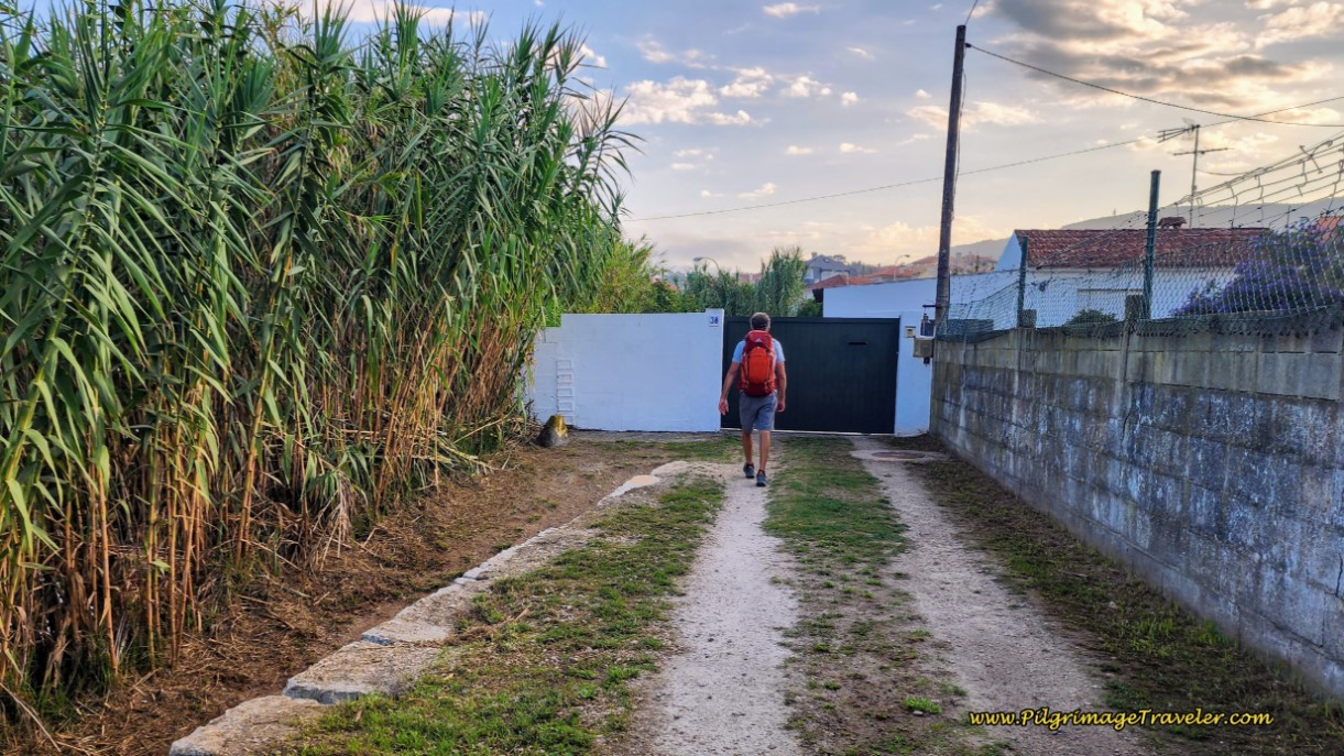 Paseo da Areosa Ends at Wall
Walk only a few meters on the beach, until you see a road to the right, past the private property, and a yellow arrow on the rock indicating that you take this road.
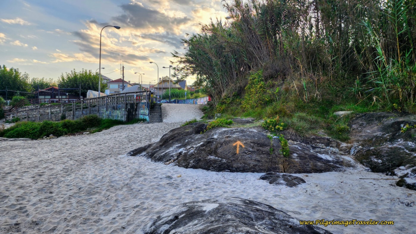 Yellow Arrow on the Praia de Prado Beach
Jump to Camino Portugués Stages
And thus begins your long climb up from sea level, below, to the highway, the PO-325, a gain of 45 meters over the next 1.1 kilometers. Doesn’t seem like much, but you will feel it!
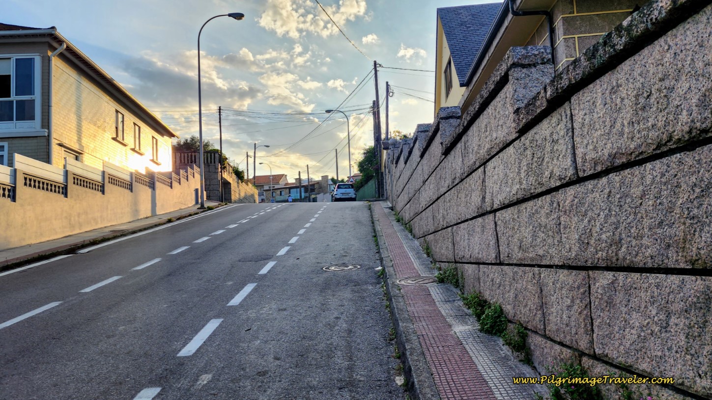 Steep Climb up from the Beach
As we were climbing on the street, we heard the familiar toot toot of the bakery van’s horn! We always run to this sound, as we love the freshly baked bread delivered to the local's door from the van. Here is Rich, below, carrying the fresh loaf in his hand as he climbed. We would pause and tear off a chunk to eat as we walked. We couldn’t wait for the next stopping point, although we did save some for our lunch!
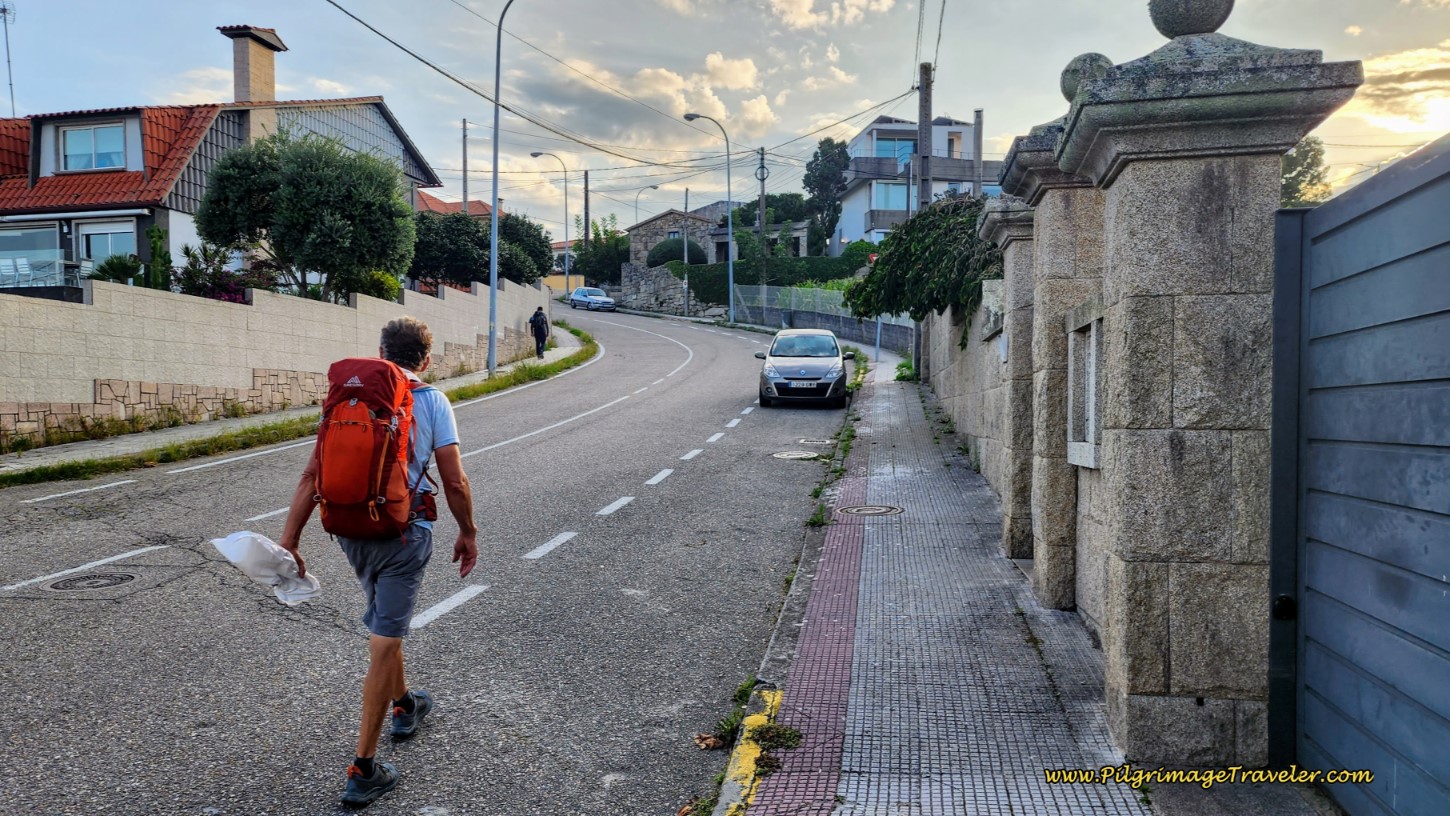 Pilgrim and His Fresh Loaf of Bread
The street takes a big bend to the left as you can see above, then at the next Y-intersection stays to the right and onto the Rúa Coba. This street is named for the landmark cross, the Cruceiro do Coba, pictured below, that you will encounter after about 230 meters from the turn, and just shy of 7.0 kilometers into the day.
The Senda Litoral stays straight here, indicated by a large yellow shell painted on a green background, just beyond the cross, not pictured. You could turn right here at this red plaza and jump onto the PO-325 in a few meters, to save a few meters, if you wish.
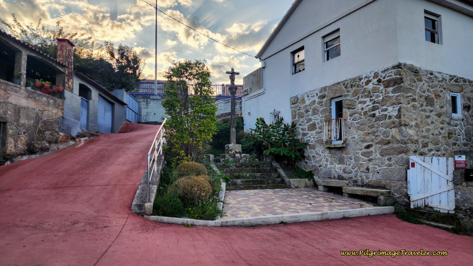 Cruceiro do Coba on Day Twenty-One, Senda Litoral, Camino Portugués
Otherwise, continue straight to climb to the next key intersection, about 280 meters later and pictured below. The white sign on the wall indicates that the Albergue de Peregrinos de San Xurxo is one kilometer to the right. This is your turn if you are heading to the albergue. It is very important also, if you were planning to cross over to the Coastal Route, that you go to the right here. You will have one more opportunity to crossover, farther along, but I feel this one is the better choice, with less highway walking.
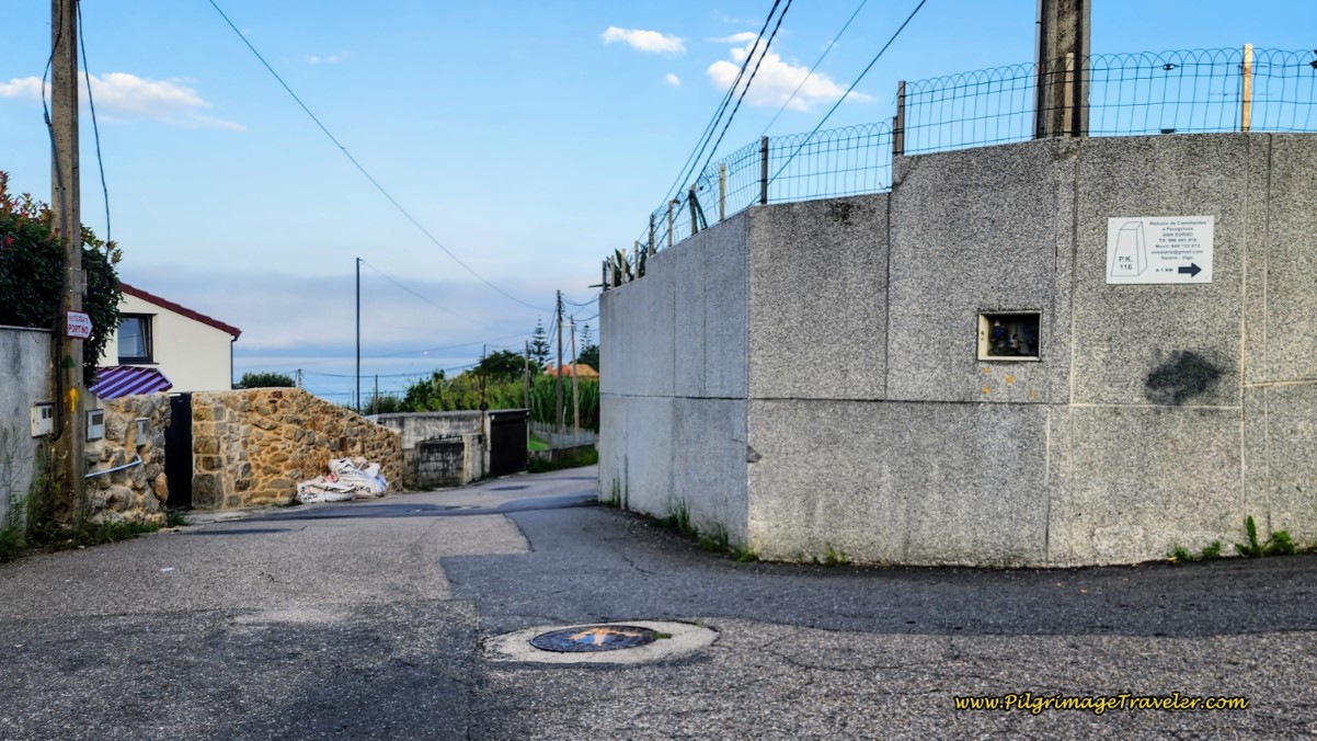 Important Decision Point
A right turn is also the way to the PO-325, where the Senda Litoral eventually joins. And underneath the white sign in the photo above is a large black paint blob that is clearly a yellow arrow blacked out!! Ahhh, the ongoing Camino wars, seen here once again! And on the manhole and telephone pole, you can clearly see yellow arrows leading you straight for the “official” Camino route.
The proprietors along the PO-325 wish for you to turn right and pass by their establishments, and the proprietor on the “official route" wants you to go straight and pass by his establishment on the beach.
If you choose to go straight, you will wind back down to the sea, just for a few meters walk along the coastline and a few meters more on a lovely beach, the Praia do Portiño, only to climb 50 meters back up to the PO-325 for a total of a 1.1 kilometer loop. There is only one restaurant by the beach and all this to save the pilgrim 440 meters on the PO-325. Hmm, walk 1100 meters to save 440 and lose elevation??
So, which is the official route? Who knows? However, for us, it was a no-brainer to take the right hand turn towards the albergue and the PO-325, saving the elevation loss and gain. But now you know and can make your own decision! I did put this loop on my map above, in red, if you really want to see it, just before the first red crossover to the San Xurxo albergue.
After turning right, it is a less than a 100 meter climb to the PO-325. And lo and behold, a yellow arrow on the first pole we see to the left when we meet the highway, pictured below. There is no right or wrong here, just options on day twenty-one on the Senda Litoral of the Camino Portugués.
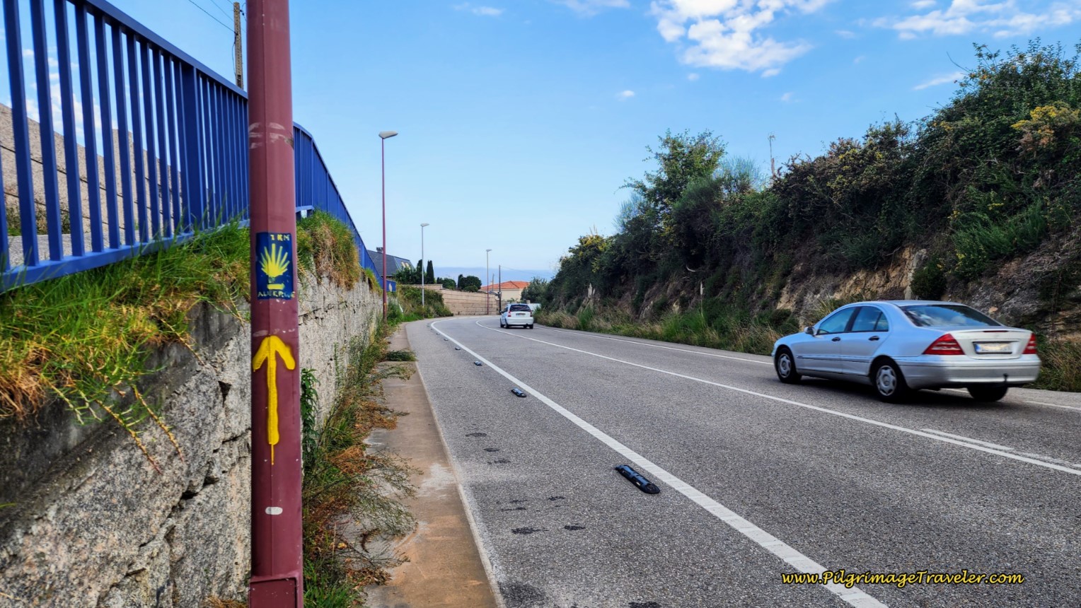 Turn Left onto the PO-325 and Yellow Arrow
And also when you meet the highway, pictured below, you will see that if you wish to go to the albergue, cross over the highway and continue straight onward onto the Camiño Fontán. The albergue is 925 meters ahead and a steep climb of 119 meters!
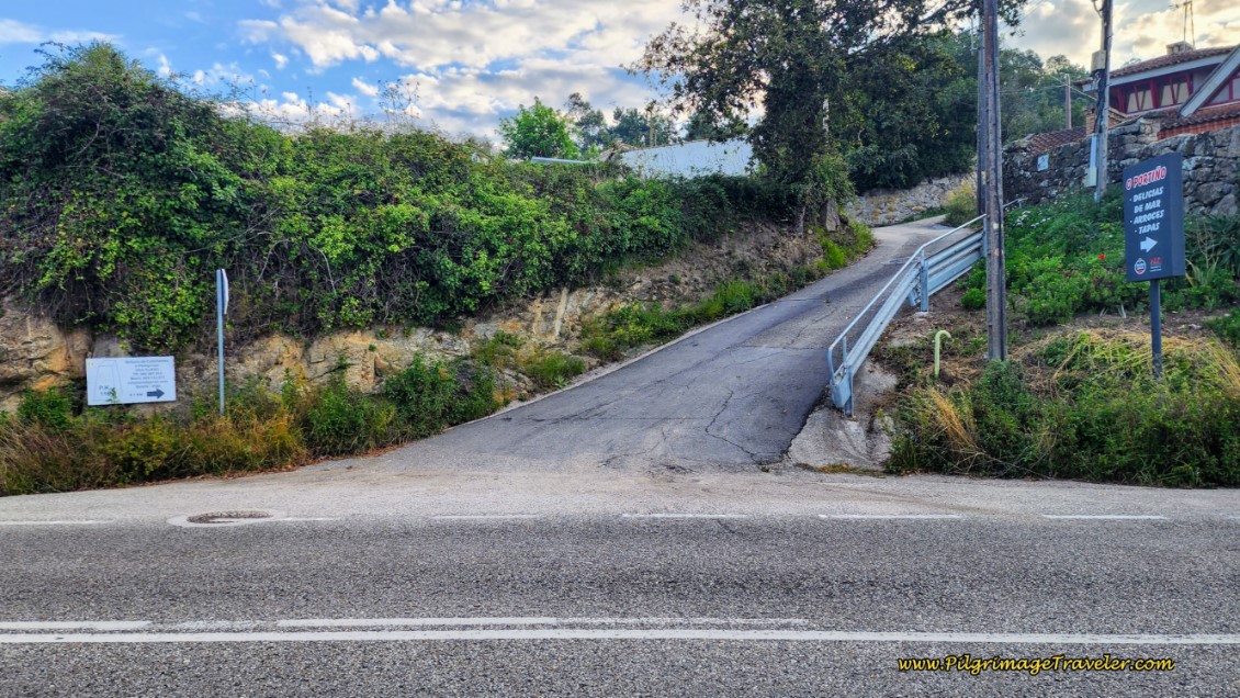 The Route to the San Xurxo Albergue
(Directions to the Albergue: Walk 135 meters on the Camiño Fontán to the first intersection and turn right onto the Camiño San Xurxo. Stay to the right for the next 500 meters, whenever you meet another intersection, first at a Y-intersection, continuing on the Camiño San Xurxo, then at the Camiño de Gándara and finally at the high-walled intersection with the Baixada á Praia. Walk on the Baixada á Praia for less than 100 meters, and turn left onto the Rúa da Eira Vella. You can see the destination ahead, the Igrexa de San Xurxo de Saiáns at the top of the hill. The albergue is just beyond the church. Note that there will be arrows and waymarks to get you to the albergue! Click the link for the onward description on the Coastal Route.)
Back on the Senda Litoral, the pilgrimage traveler must walk for 2.1 Kilometers on the PO-325, starting at 7.33 kilometers from the start and until 9.48 kilometers total. It’s neither pleasant nor unpleasant, just what is.
After 440 meters, note where the Portiño Beach route joins the highway, below. This photo gives you a bit of a perspective of what your climb up from sea level will look like if you choose this option.
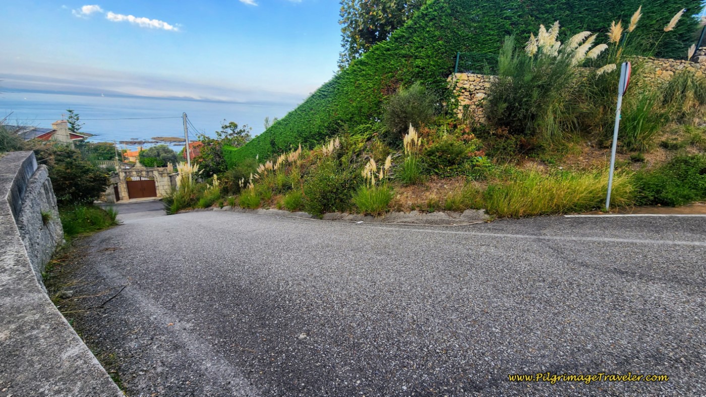 Portiño Beach Route Joins the PO-325 Here
After 360 meters more and now within the town of Saiáns, we found this sign along the roadway for the Kami Pastelería and Panadería, below. Yes please!! This was the first open café we saw since leaving Paxón at 8.1 kilometers total on day twenty-one, Senda Litoral, Camino Portugués.
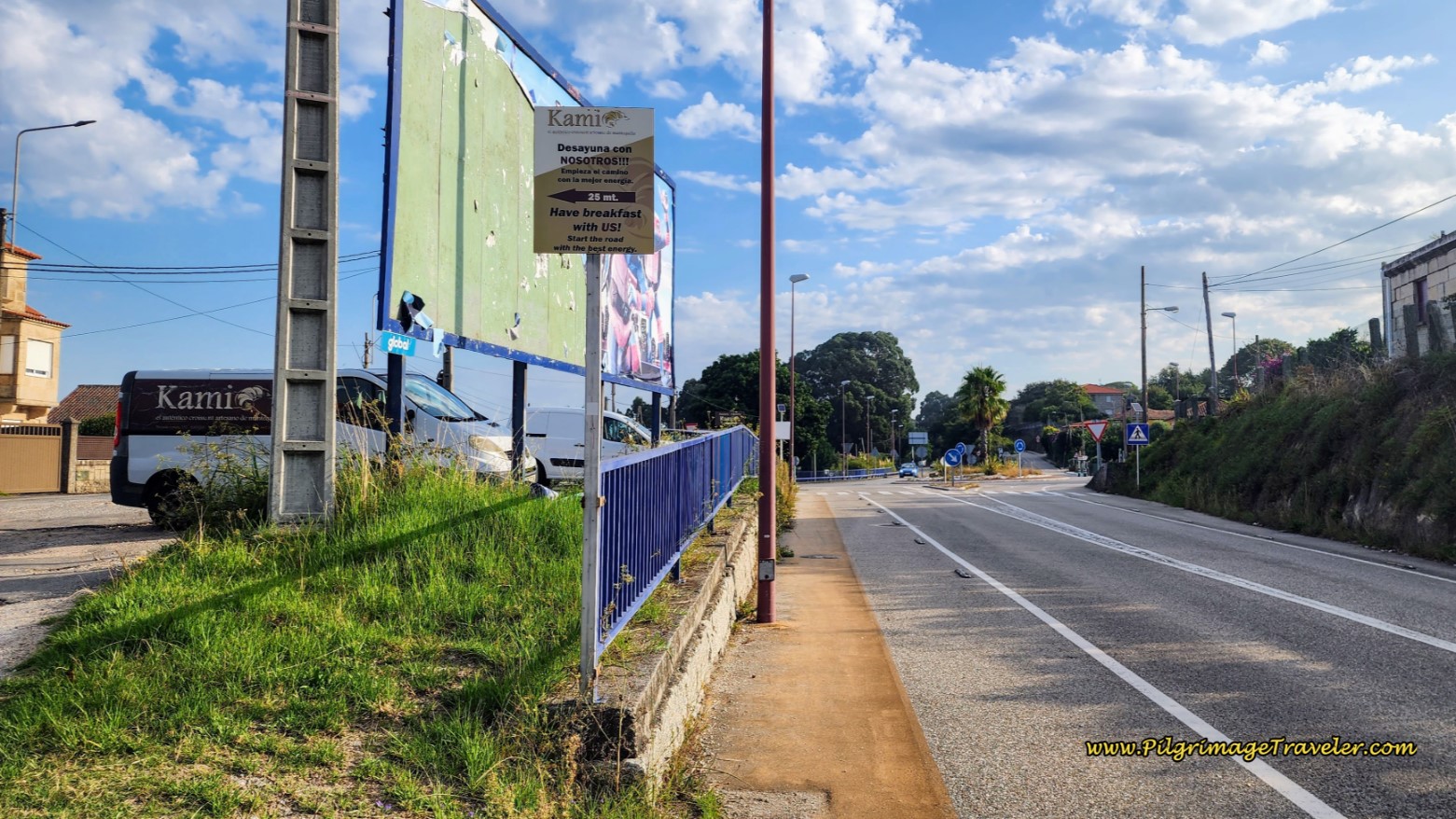 Kami Bakery Sign along the PO-325
It was time for a real coffee and yes, the famous Torta de Santiago. If you haven’t yet had this almond cake, this is your golden opportunity. We ate the whole thing between the two of us. There is nothing like coffee and carbs to keep a pilgrim happy!
 Tarta de Santiago!
And after our break, we continued the walk along the PO-325.
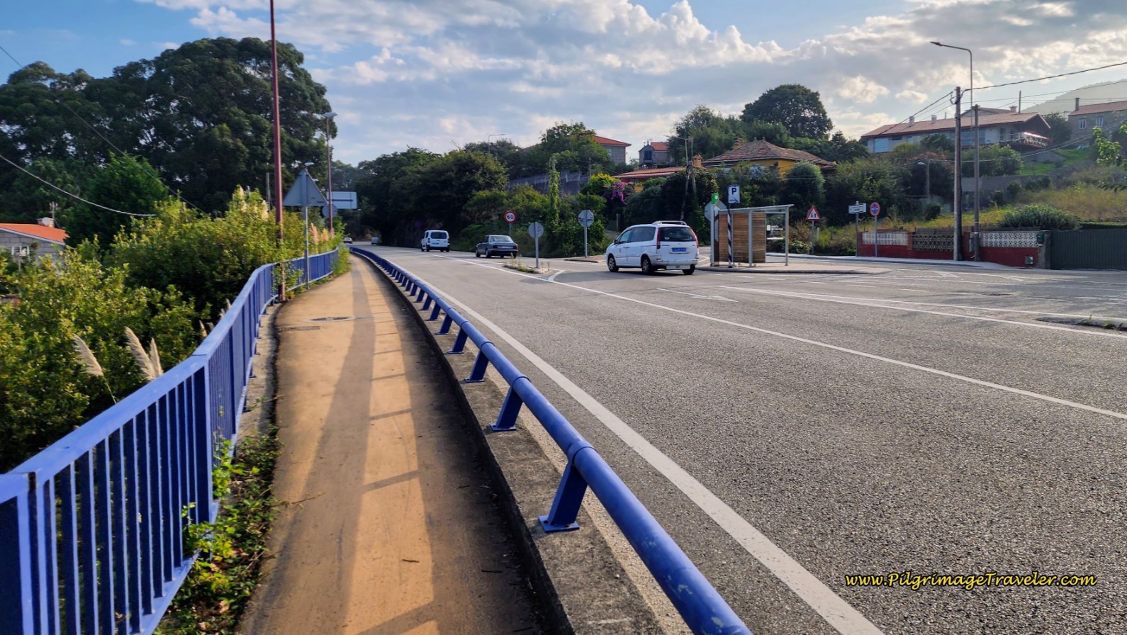 Along the PO-325 on Day Twenty-One, Senda Litoral, Camino Portugués
We soon arrived into the next town of San Miguel de Oia about ½ kilometer down the road.
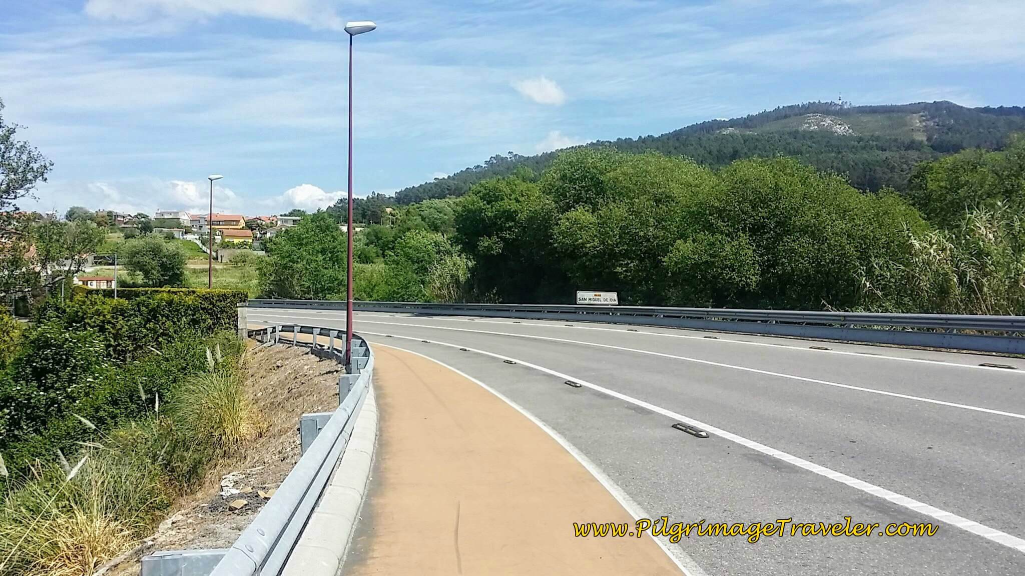 Entering San Miguel de Oia on Day Twenty-One, Senda Litoral, Camino Portugués
It is somewhere between the white San Miguel de Oia sign, seen above and the bus stop, below, that you finally come to the ultimate altitude top for the day after just shy of 9.0 kilometers.
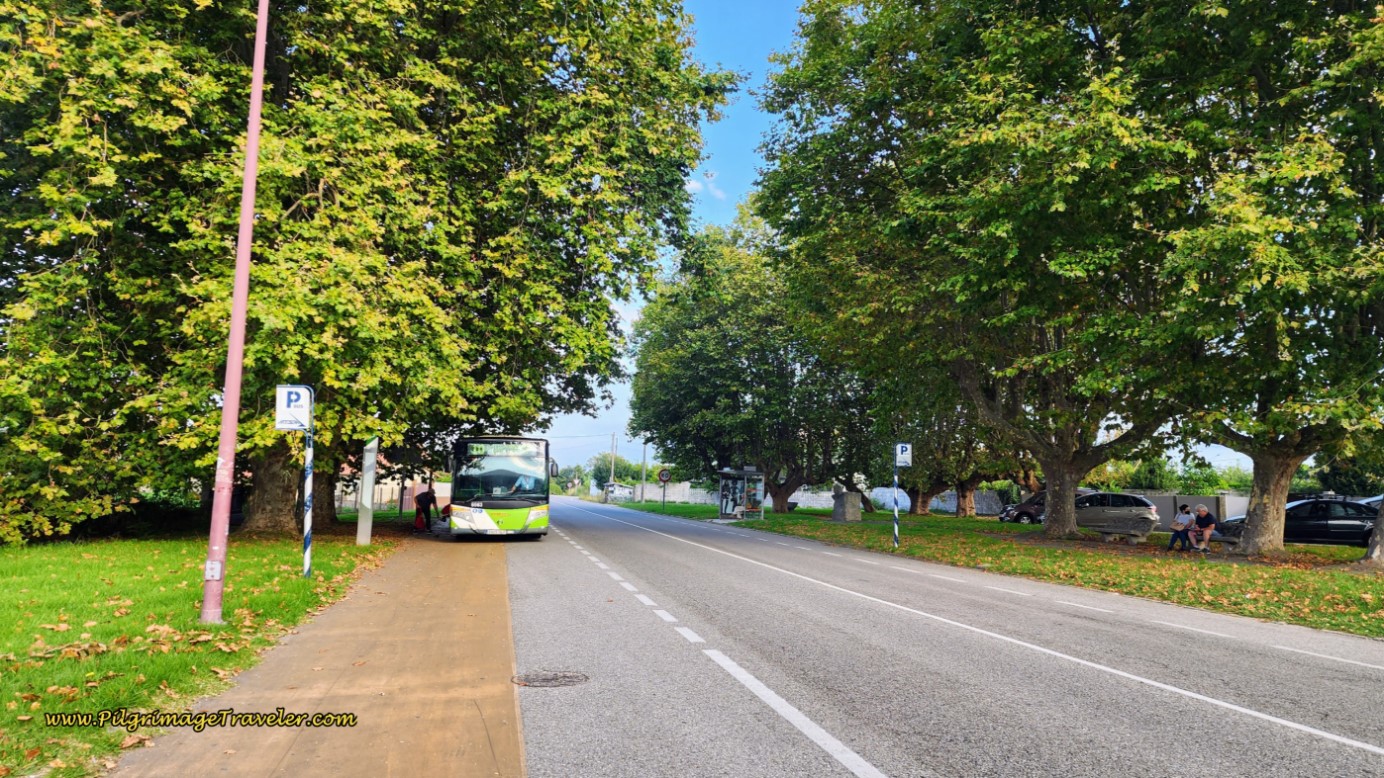 San Miguel de Oia Bus Stop
And just beyond the bus stop, about 200 meters, the Senda Litoral finally leaves the PO-325, with multiple yellow arrows on the pole, and a green one for good measure, leading you to turn left.
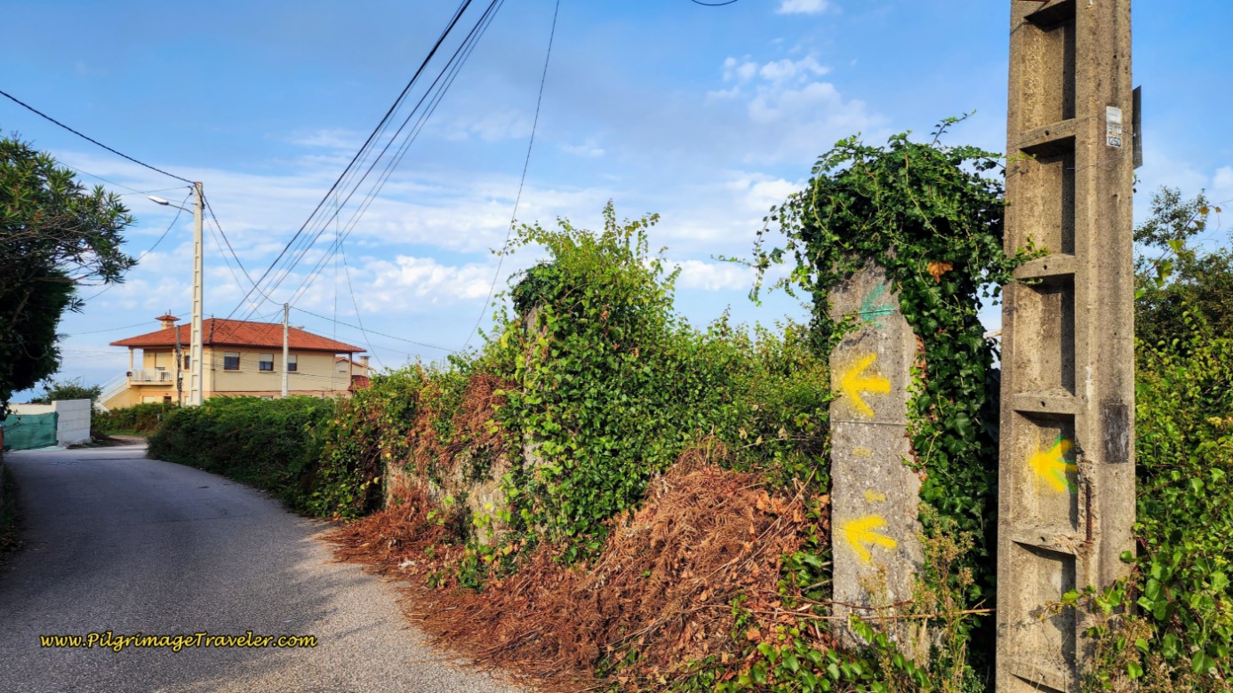 Leave the PO-325 after San Miguel de Oia
If, however, you want to cross over to the Coastal Route here and avoid coastal Vigo, you will have to continue on the PO-325 for another 3.7 kilometers. It is not all that unpleasant, walking on the bikeway, with high views of the Isla de Toralla, below, and passing the chapel, pictured next, after 1.9 kilometers.
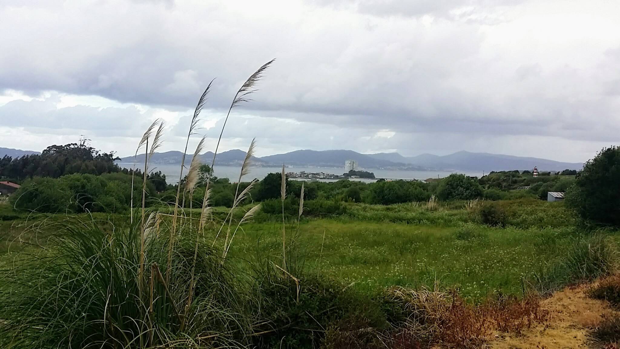 View of Isla de Toralla
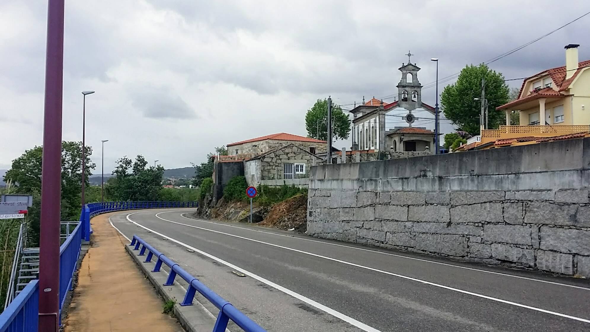 Capilla Nuestra Señora De Los Liñares
After the full 3.7 kilometers, at a major roundabout, shown below, showing the direction toward the PO-552, our old coastal highway friend, we took a right turn onto the Estrada do Vao.
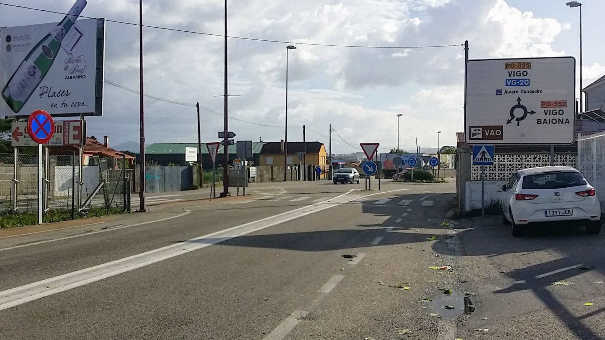 Roundabout Right Turn onto the Estrada do Vao
We walked on this street for about 1/2 km until meeting up with the PO-552. A left turn here, below, onto the PO-552, called the Estrada Camposancos is where you join the Coastal Route!
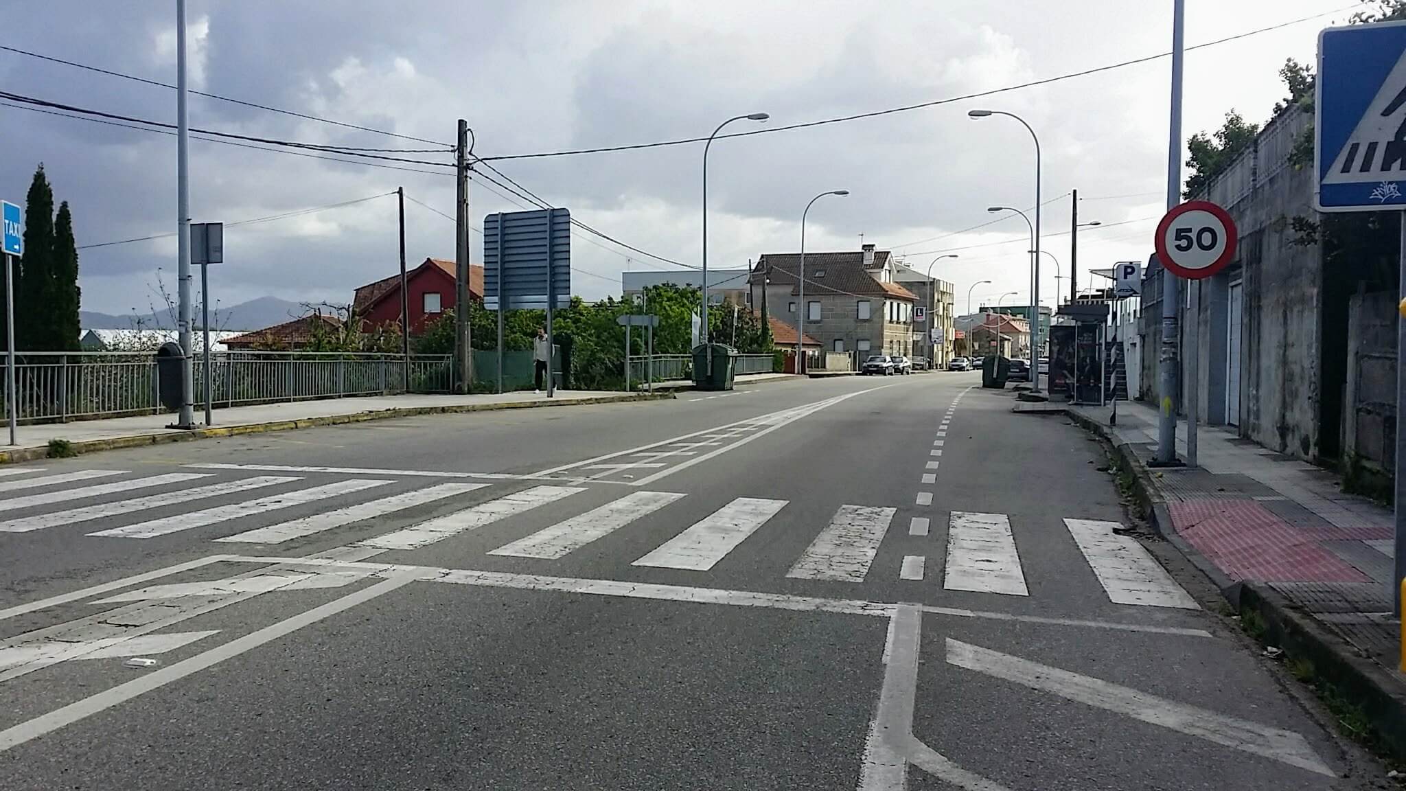 Right Turn onto the Estrada Camposancos
Jump to Camino Portugués Stages
Back on the Senda Litoral, from the turnoff of the PO-325, follow the Camiño da Pirucha for about 350 meters as it first bends to the right, then comes to a T-intersection at a high wall, housing the A Pirucha Campo de Fútbol, soccer field. Take a left then a quick right to skirt the field, now on you right, shown below.
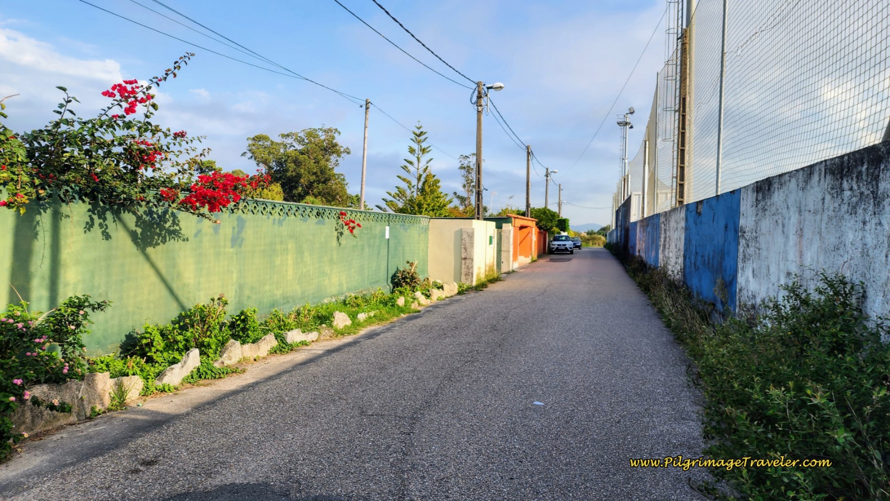 Skirt Soccer Field, on Your Right
Follow this narrow street for a bit more than one-half kilometer, turning right onto the Rúa do Arquitecto Cominges at the crossroads, below. The metal box, again, has a yellow and a green arrow!
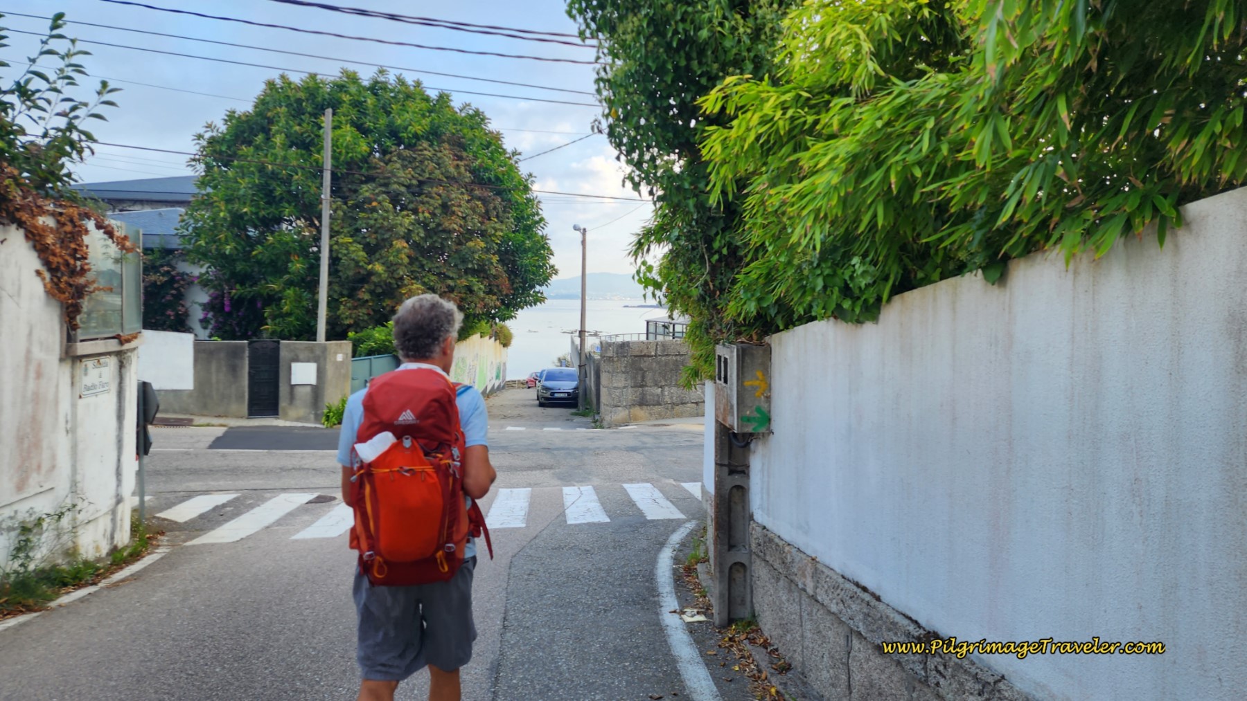 Right Turn onto Rúa do Arquitecto Cominges
And then it is onward down the street that parallels the waterfront, below, even though you cannot see it, except a glimpse at the side streets on your left. This street is simply one of the must-do’s along the Senda Litoral.
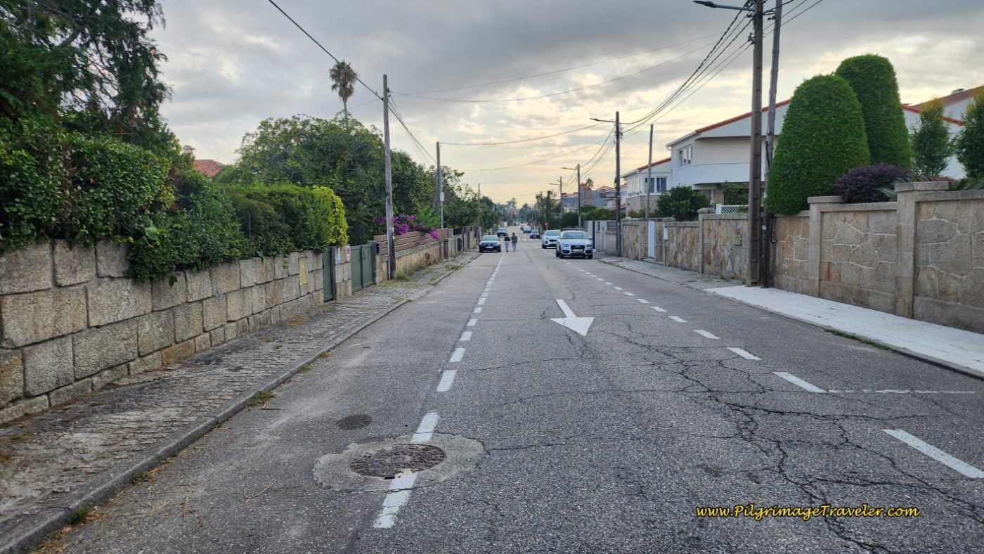 Along the Rúa do Arquitecto Cominges
A bit more than one-half kilometer, you will come to an intersection, turning to the left. In only 175 meters, you will come to this miradoiro, where you finally have a look-out over the sea again and the Praia do Xunqueiro.
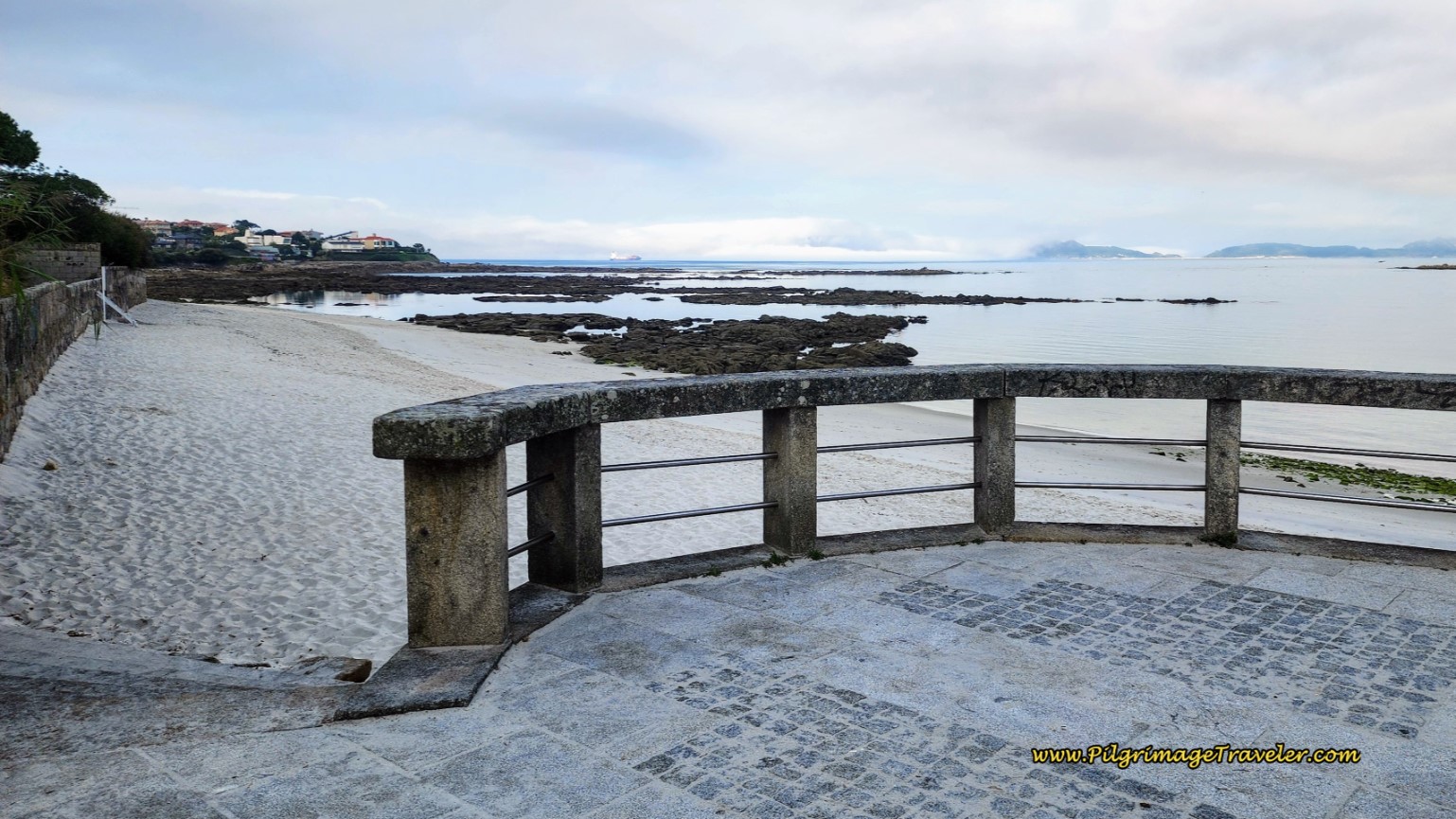 Praia do Xunqueiro Lookout on Day Twenty-One, Senda Litoral, Camino Portugués
Unless you choose to walk down to and linger on the beach, the way forward is along the street, below, this one the Rúa do Arquitecto Ramón for a few more meters.
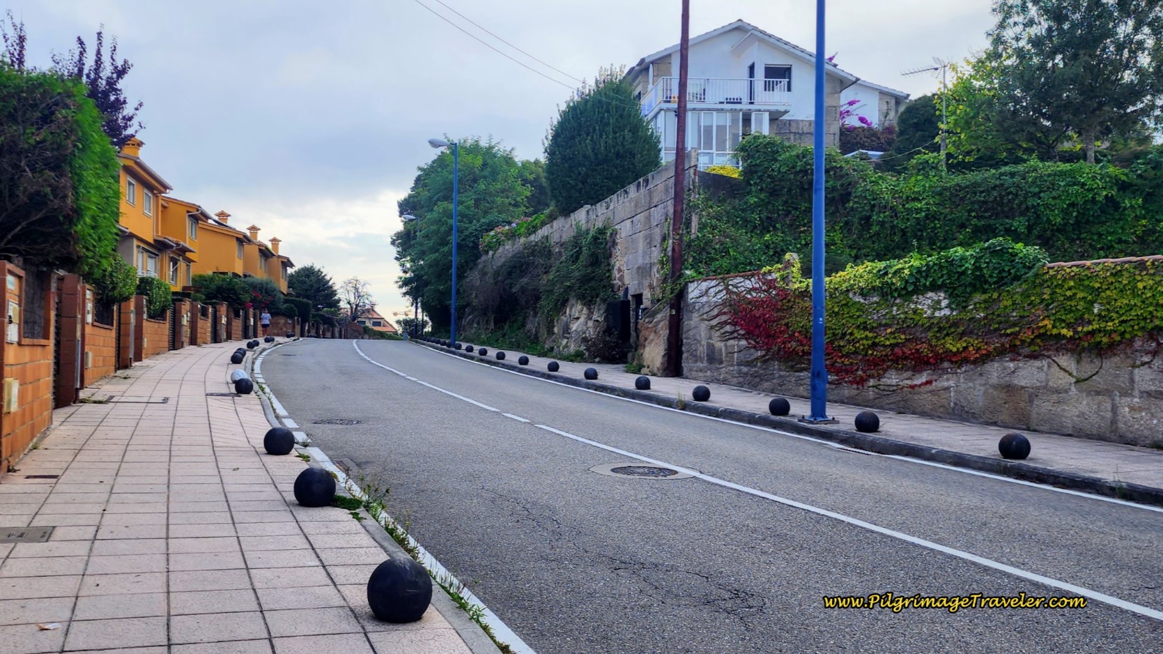 Rúa do Arquitecto Ramón
Suddenly, you join the PO-324 and arrive at the Porto de Canido, the harbor, and just beyond it the beach, shown below. This beach you can walk upon or simply stay on the promenade. There are a lot of places to get a bite if you need it by the beach.
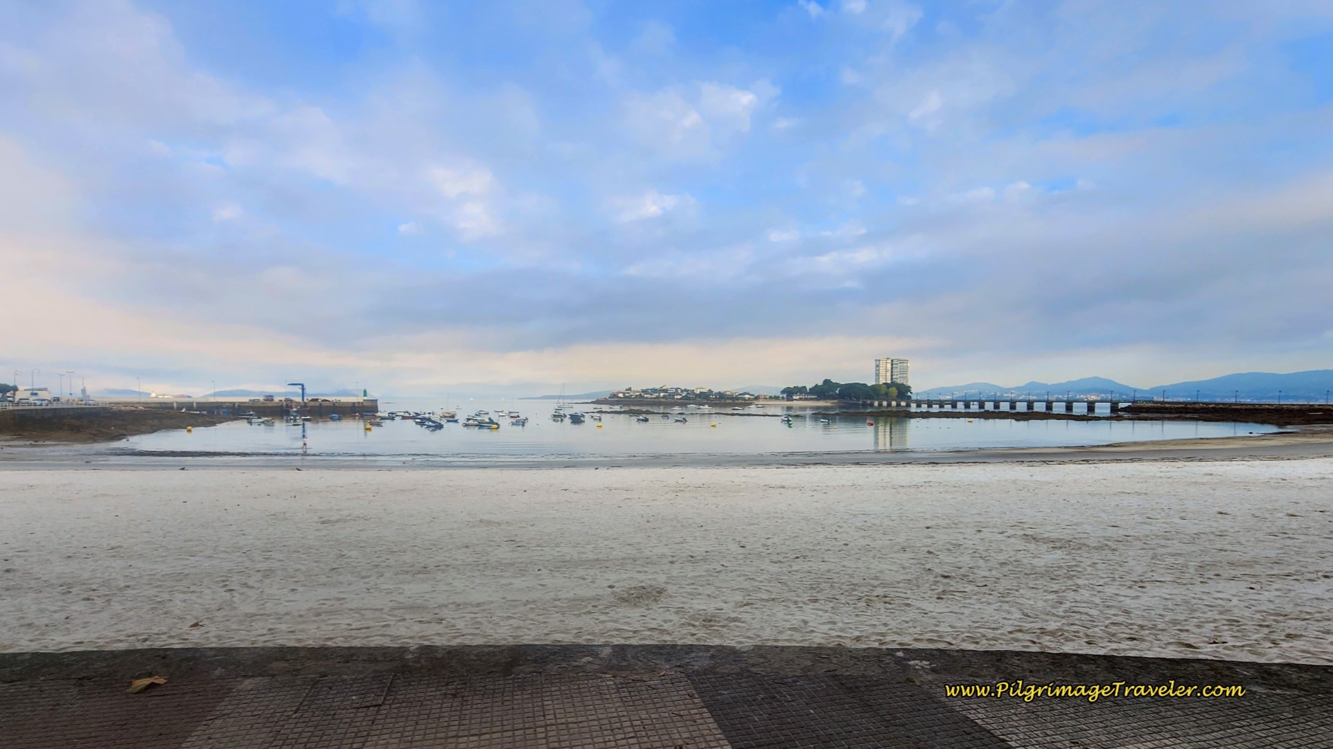 Canido Beach and Harbor
The beach is not a long one, and walking onward, next you will come to a Roman archeological site, after about 12 kilometers, the Centro Arqueolóxico da Vila Romana de Toralla, the remains of a very wealthy Roman man’s villa. Below is a photo of the ruined thermal baths within the villa. We did not take the time to visit the site, since there is not a whole lot more to see than the museum, also on the site. We read the placards and peered through the fence and felt content with that.
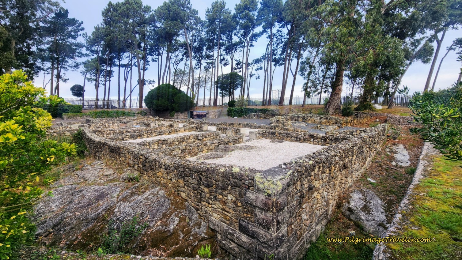 Vila Romana de Toralla
Just beyond the Roman villa is the long and lovely Praia de Vão.
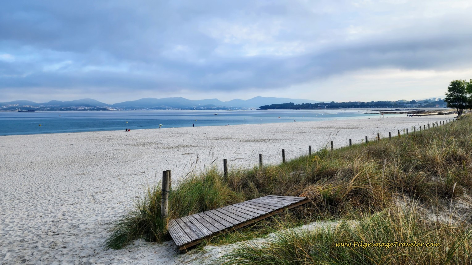 Praia de Vão
On this beach, you can gaze out to the island and its causeway, the Illa de Toralla, not pictured. You could walk on this beach, or stay on the walkway, which turns into a boardwalk. And as you leave the Praia de Vão, the boardwalk rounds this corner, below, joins the PO-324 and arrives at the next beach, the Praia da Fontaiña. Of course, instead of the roadway, once again you could choose to walk on the beach on day twenty-one on the Senda Litoral, Camino Portugués.
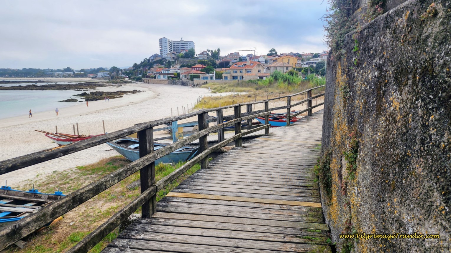 Boardwalk to the Praia da Fontaiña
As you leave the Praia da Fontaiña, only about 300 meters long, you will see this cross on the beach, after 13 kilometers from the start at the chapel.
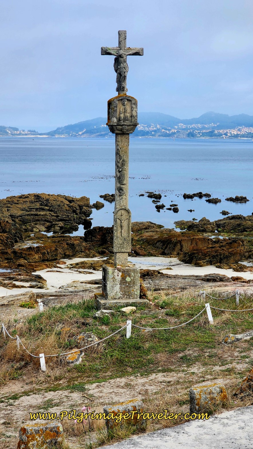 Beach Cross
Pass by several rocky beaches after the cross and within a few meters, a view opens to the longest beach of all, the Praia Samil, below. But first you need to head inland a bit along the PO-324 roadway to cross the estuary of the Río Lagares, pictured next.
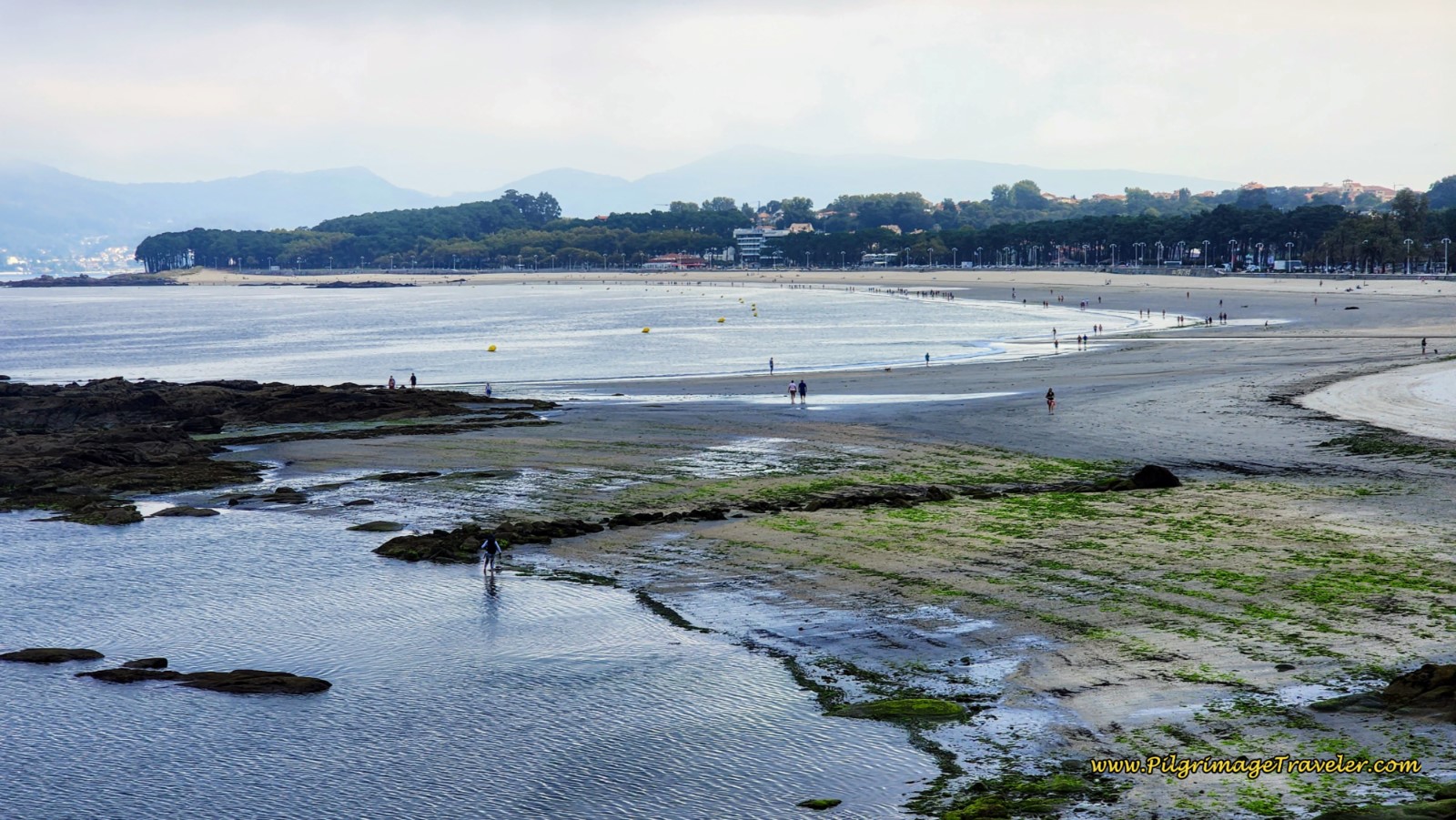 View to the Grand Praia Samil
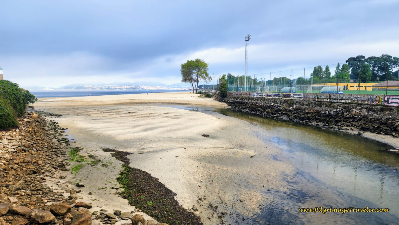 Cross the Rio Lagares Estuary on Roadway Bridge
Once you are across the river, you will circumnavigate a sports complex, as you bend around and back towards the sea. After the first large complex parking lot, the Senda Litoral takes a left turn onto a checkered, paved walkway, below, and heads back to the beach. This walkway continues for a full 1.4 kilometers!
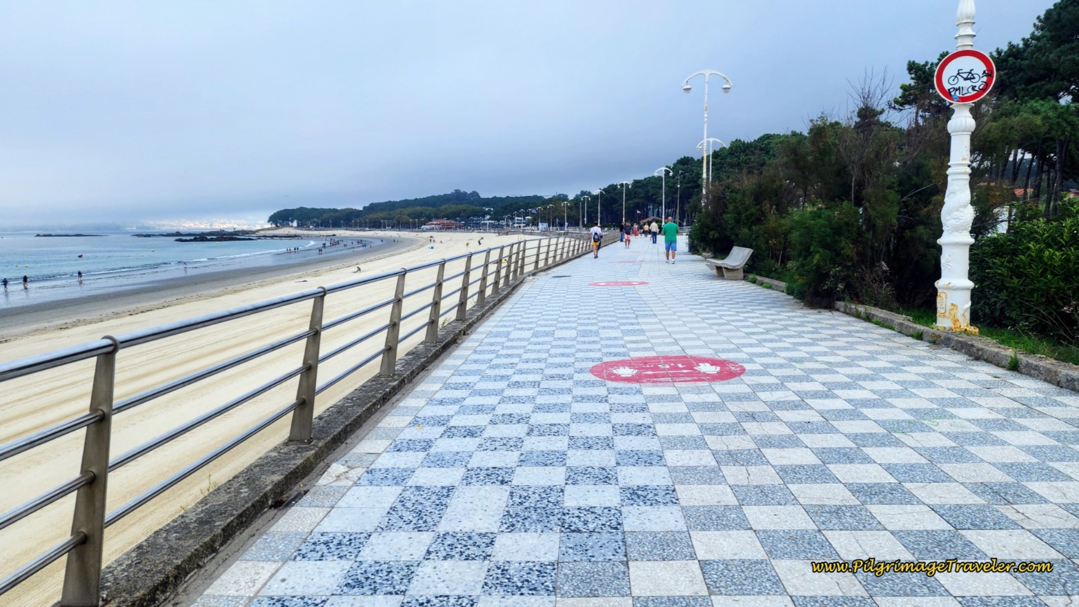 Long Promenade on the Praia Samil
There are two possible accommodations across from the sports complex, the Hotel Playa de Vigo and the Verdemar Hostal Restaurante.
At the end of the promenade, there is a lovely park, called the Piñeiral de Samil, below. The Senda Litoral walks through this park on a sandy path. When the path intersects with a paved road, there is a café on your left, and the all-important restrooms on your right.
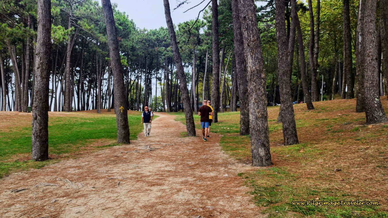 Cross the Piñeiral de Samil
Continue straight through the intersection, on the continued dirt path that eventually parallels the PO-324, once again, here called the Avenida de Samil.
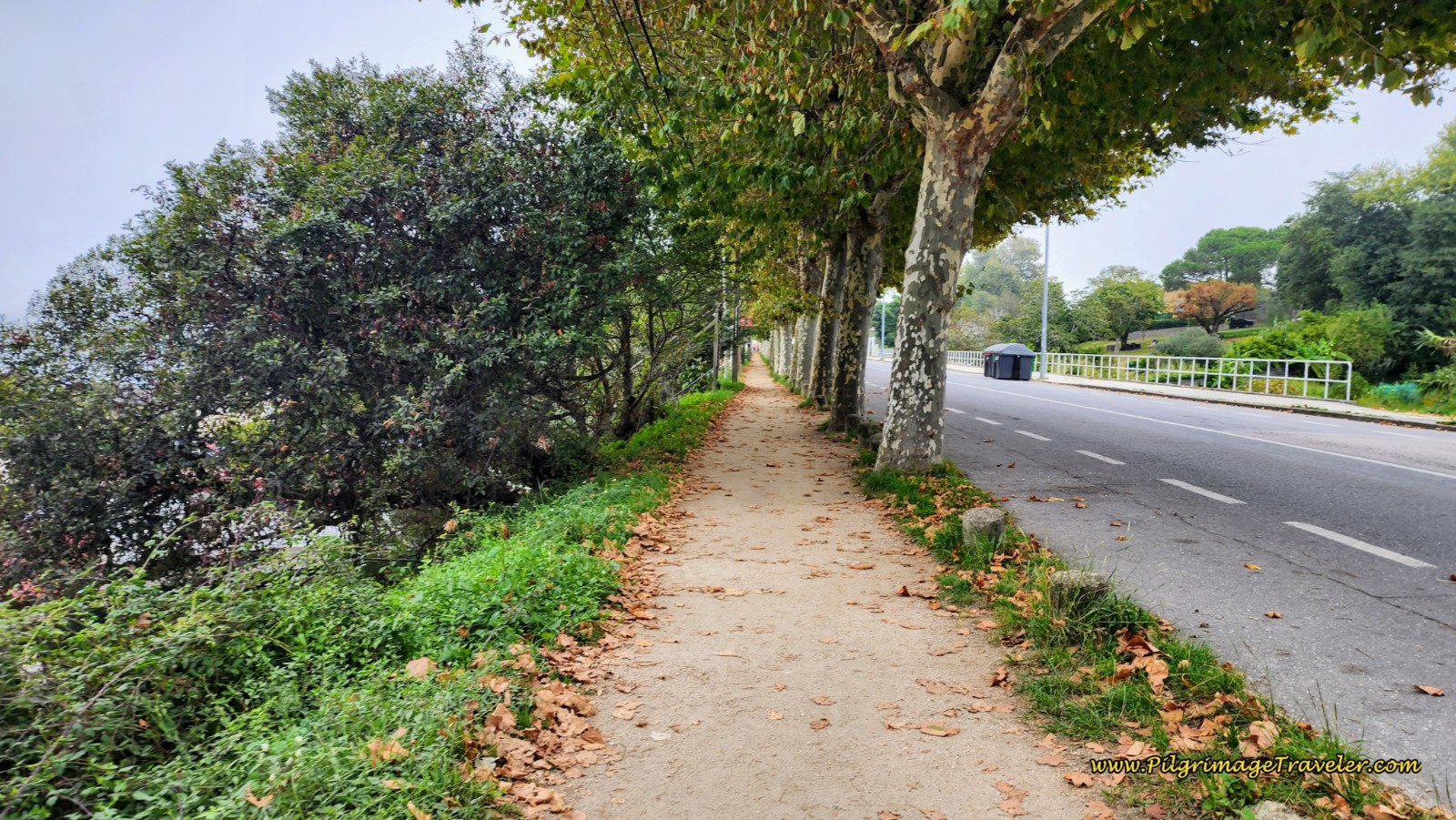 Path Along the Avenida de Samil
At approximately 16.5 kilometers, the Senda Litoral leaves the PO-324 and makes a left turn at the Bar O Muiño do Alcabre, onto a narrow paved road. This turn is easy to miss, so stay alert for it. We actually stopped at the bar for a bite and coffee, to fuel us for the last push.
However, if you did not turn off the PO-324, a few meters later, you would come to the Hotel Playa Santa Baia, a more mid-range accommodation.
After 175 meters, the paved road ends at the next beach, the Praia de Santa Baia, and the Senda Litoral turns to the right on another beach walkway, which eventually turns to sand. Pass the Alcabre Exercise Park.
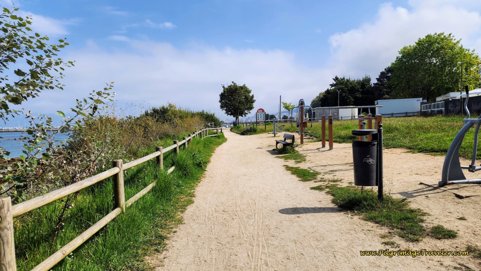 Pass the Alcabre Exercise Park
Pick up a short boardwalk, at the end of this small beach, that leads to the next beach, the Praia Bouzas on day twenty-one of the Senda Litoral, Camino Portugués.
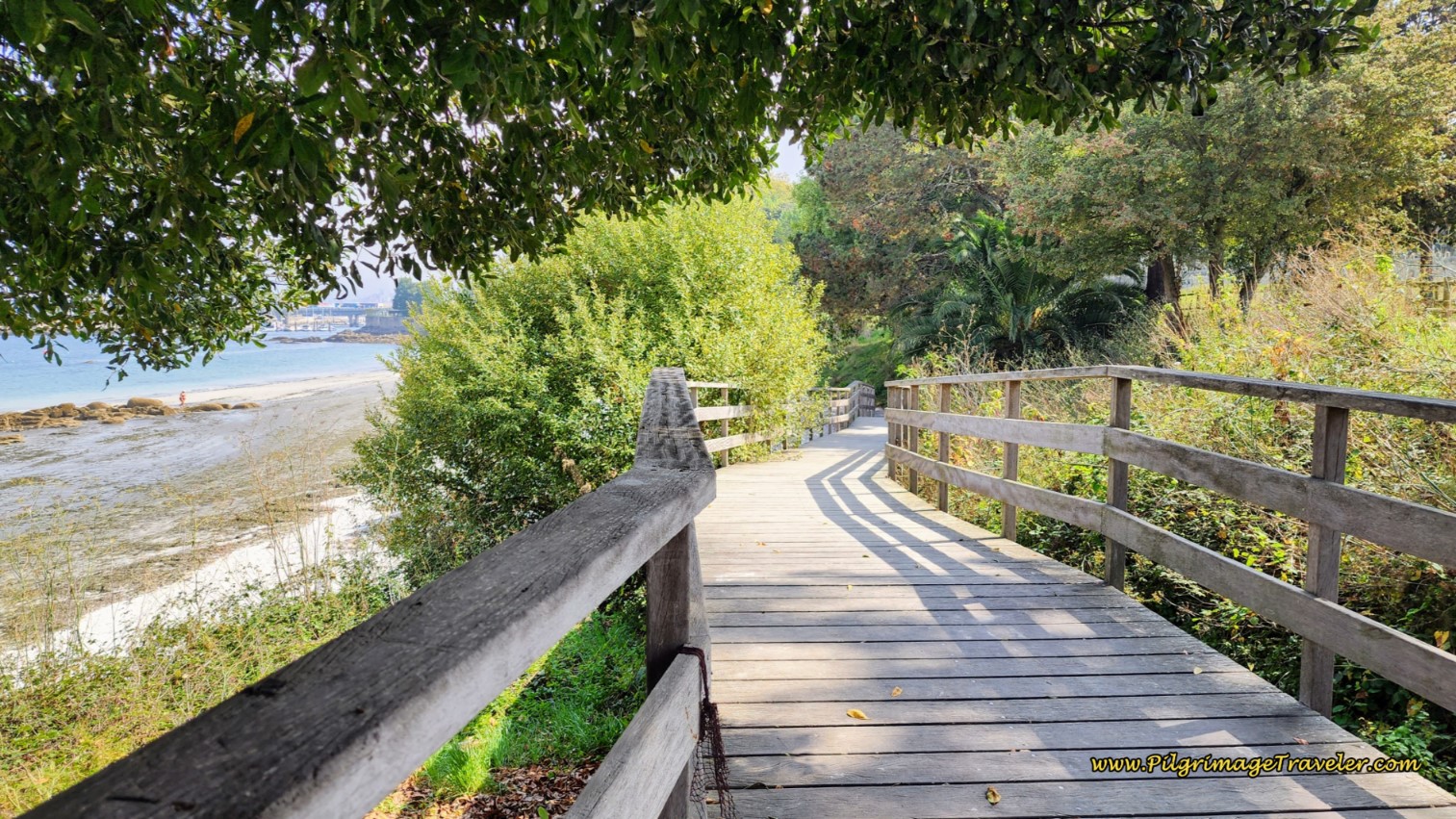 Boardwalk to the Praia Bouzas
Then continue on the sandy pathway another few hundred meters, when it turns inland, comes to a T-intersection with the Rúa de Roade, at a high, vine-covered wall.
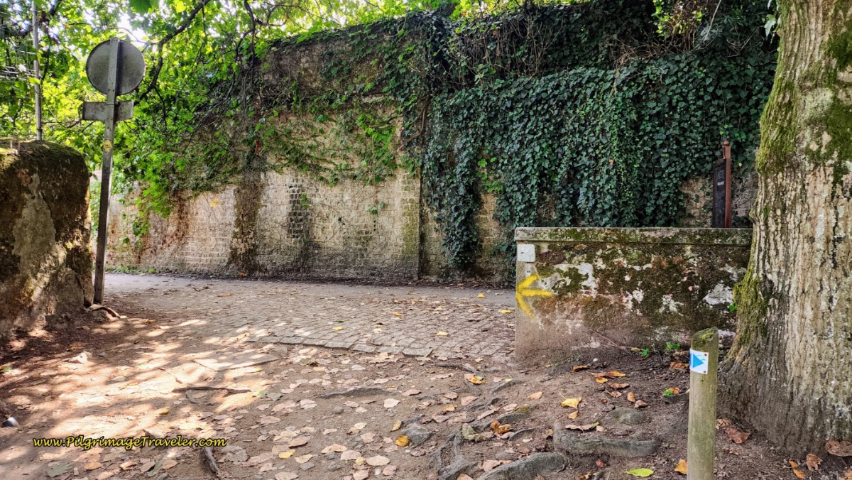 Left Turn Onto the Rúa de Roade
Immediately walk under a vine-covered archway, continuing on the Rúa de Roade, then take a left at the next T-intersection and an immediate right to pick up a narrow, high-walled pedestrian pathway. After less than 100 meters, this pathway arrives at the open harbor of Bouzas. You can see the Bouzas bridge ahead.
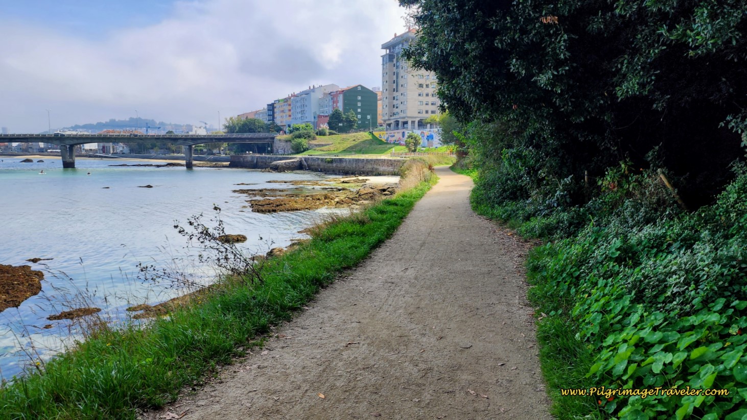 Walkway Towards the Bouzas Bridge
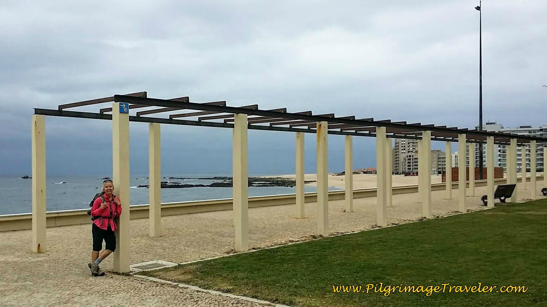
Walk along the promenade along the harbor until it ends at the quaint Igrexa de San Miguel de Bouzas. Take a right turn immediately after the church and go around it to immediately pick up the large, divided highway in front of you. Ahead of you, you will see a park with a colonnaded walkway. You can take this walkway, but you must eventually keep to the left and continue on the larger, divided highway, when the park ends.
There are a few yellow arrows on the pavement here, but they are easy to miss if you are not paying attention. At the roundabout on the southeast end of the park stay left to walk onto the Rúa de Eduardo Cabello, below. You should already be on the left (north) side of the road, if you found the yellow arrows, however, we found that it was more shaded to cross over to the south side.
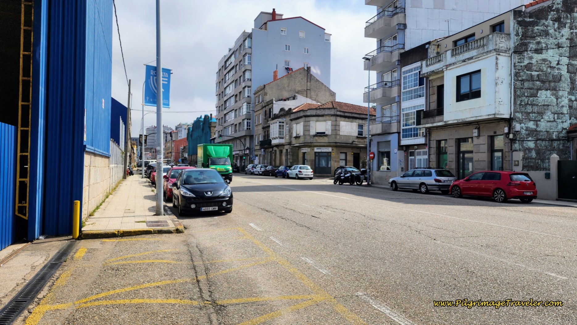 Along the Rúa de Eduardo Cabello
Just south a few meters after the park, is an inexpensive accommodation, the Hotel La Suite. Look for the Rúa Simancas, to your right, just after the blue building in the photo below. Turn right and after one block, turn left and it will be ahead a few meters on your right.
As you walk along, it soon becomes clear that you are walking along the riverfront and passing by shipyards.
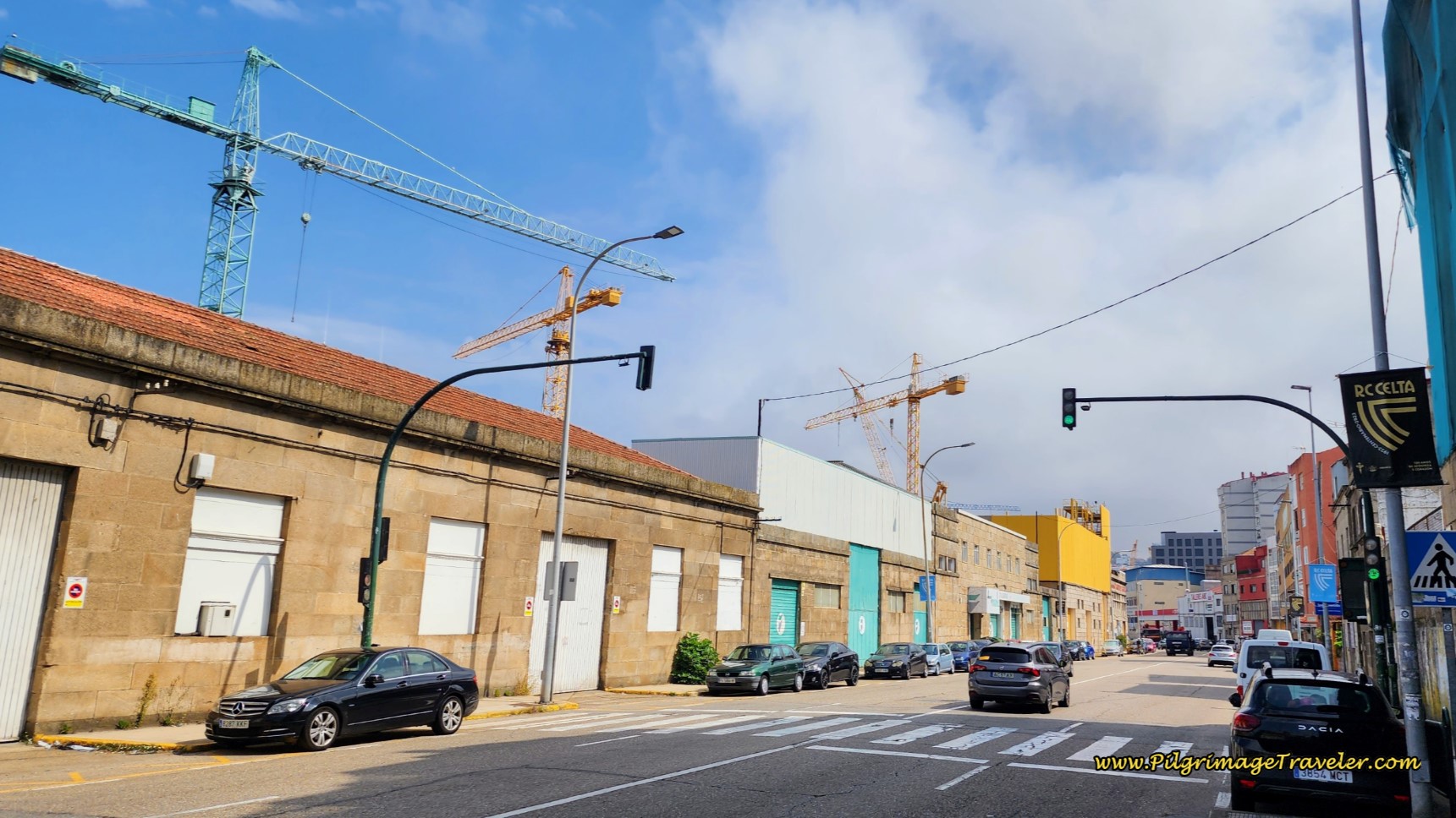 Pass by Shipyard Cranes
Continue along the street, passing by more cranes and derricks. While this may not be the most beautiful place to walk into Vigo, I found it to be interesting nonetheless.
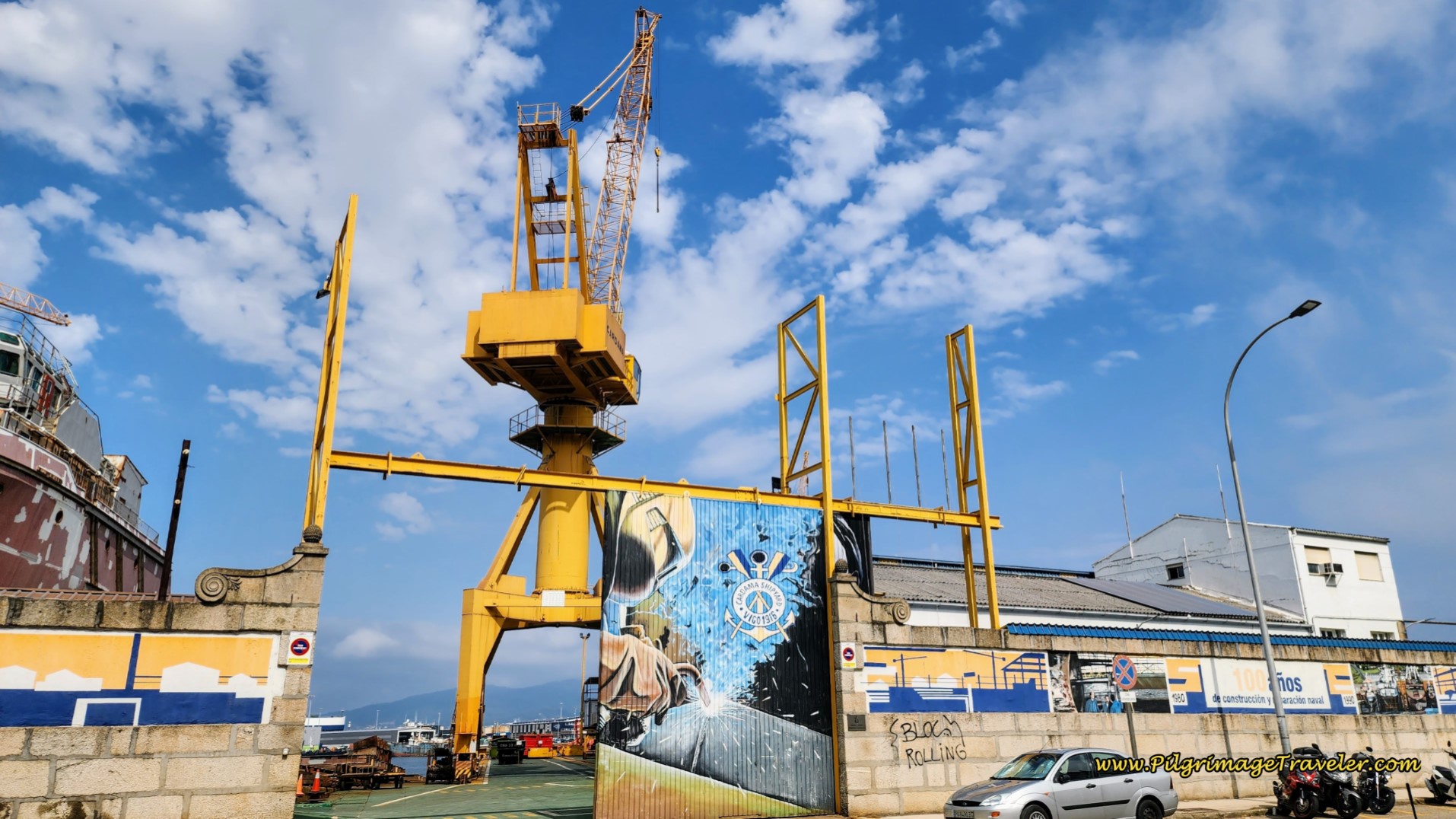 Pass by Boat Derrick on Day Twenty-One, Senda Litoral, Camino Portugués
Farther along, after about 19.7 kilometers, come to a large roundabout, where the road splits. Make sure you are walking on the riverside and stay to the left at this roundabout. You will pick up a wonderful walkway and bikeway now, and the street is less busy than the wide avenue.
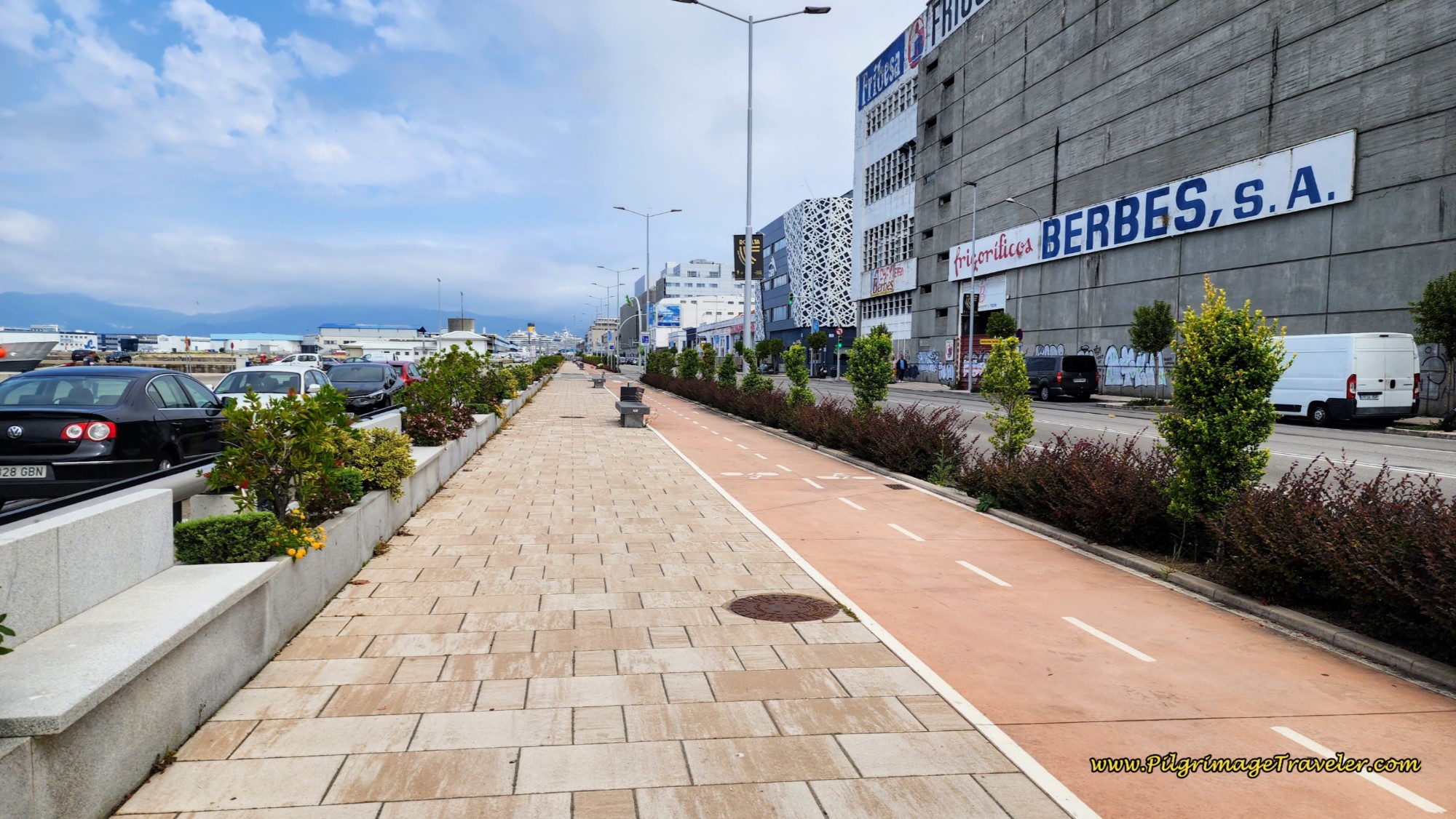 Bike Way along the Avenida Beiramar
However, if you were to turn right at the roundabout, after 300 meters at the next large roundabout, there is the large Hostal Agra, almost as economical as the municipal albergue! Something to consider if the albergue is full.
About one kilometer later you will need to cross the street to the other, right side, before the next large roundabout, because the way is to the right after the roundabout. Look for this covered walkway and walk through it.
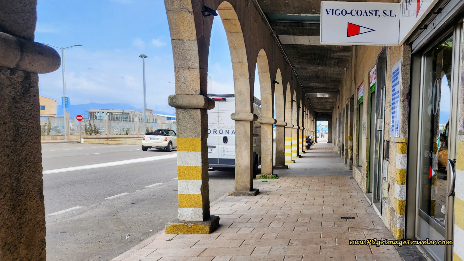 Covered Walkway along the Avenida Beiramar
Next, you will cross over the roundabout, taking the first right onto the Rúa de San Francisco, by a basketball court. After passing the basketball court, turn left and onto the historic Praza do Berbés, shown next.
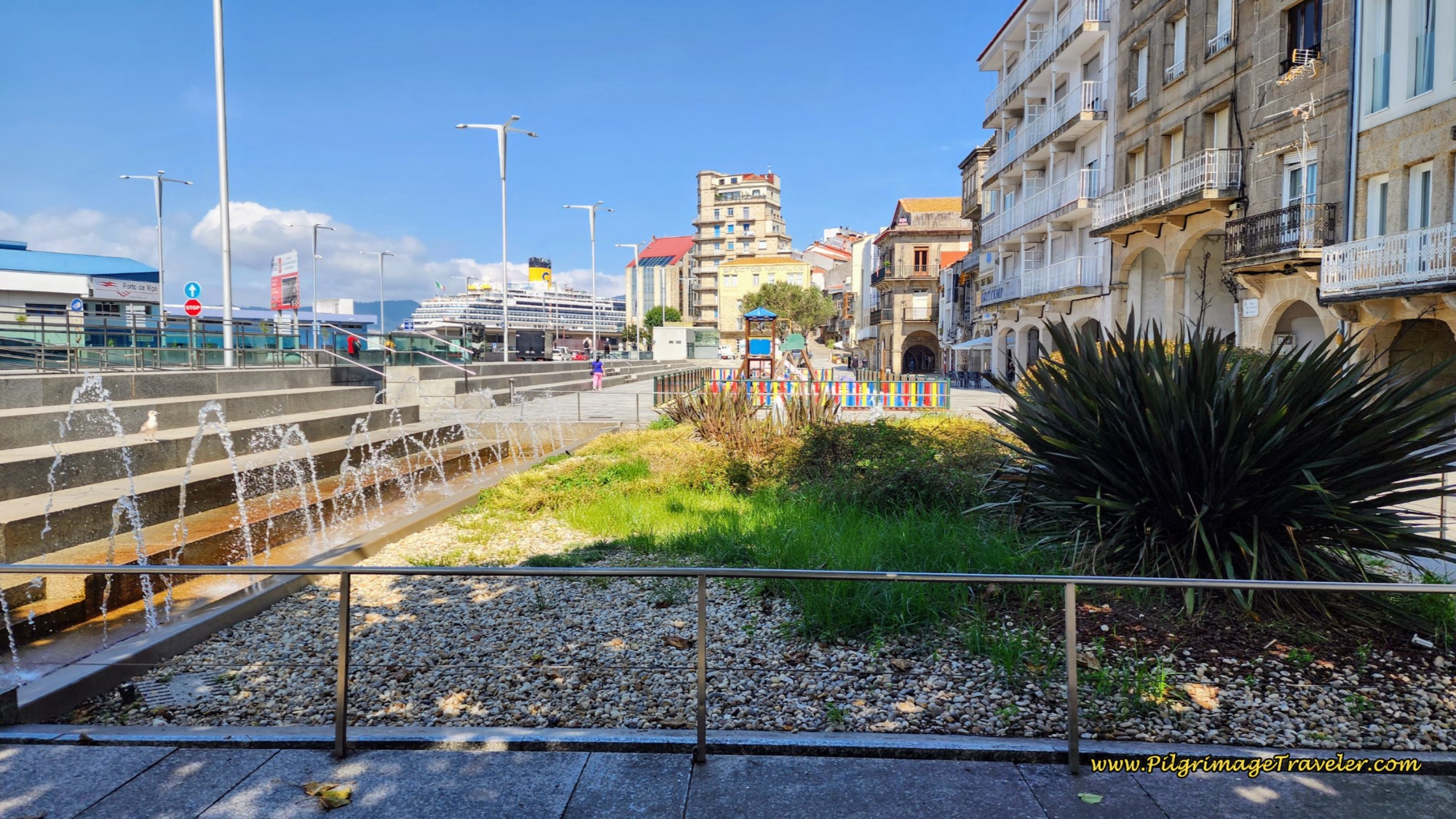 Praza do Berbés
There are fountains and a children's playground. Continue walking, staying close to the buildings to your right, and at the end of the plaza, across from the cross is the new municipal Albergue de Peregrinos de Vigo. This giant albergue, with more than 90 beds, was packed both times we have stayed here!
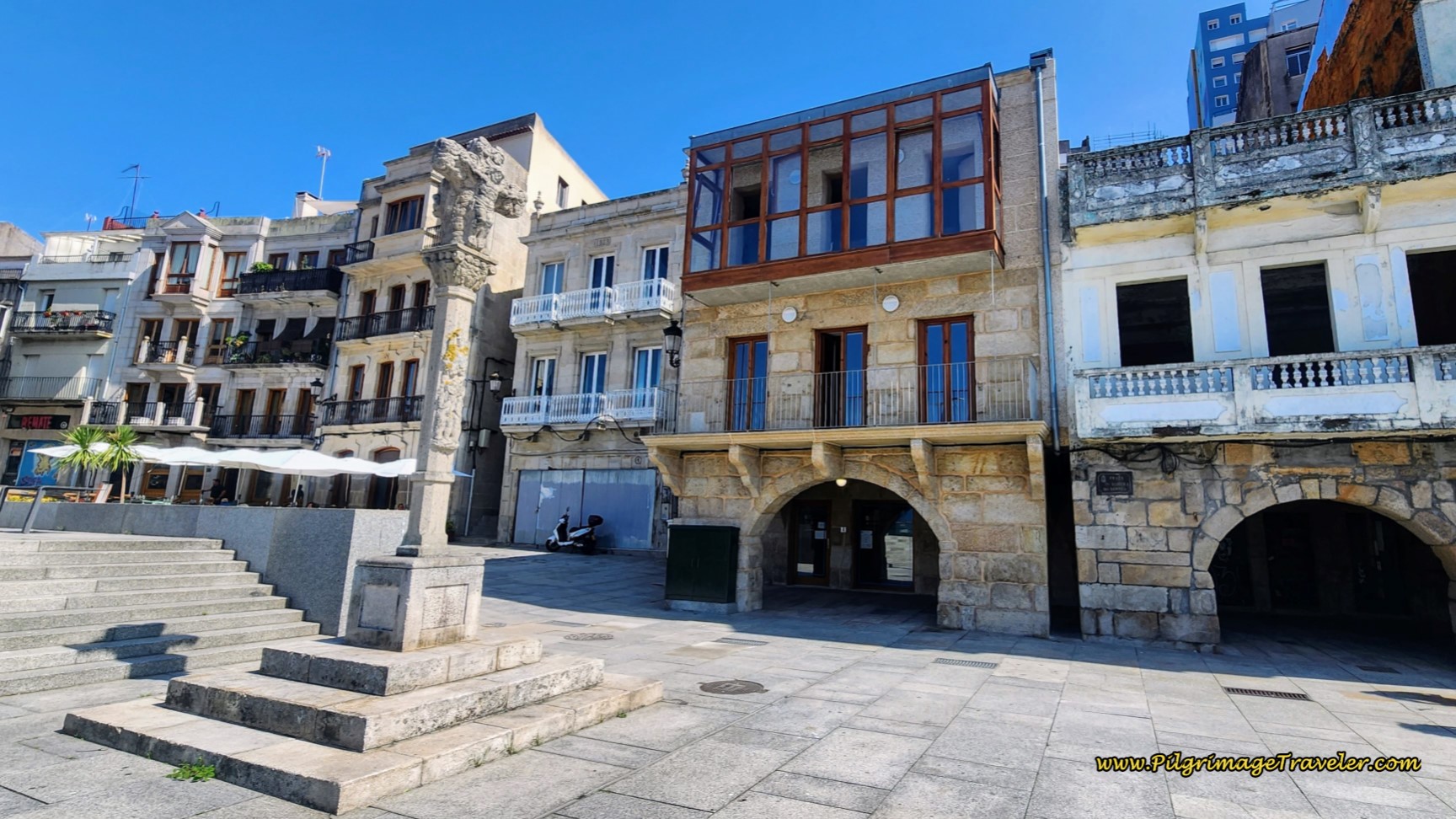 Cross and the Albergue de Peregrinos de Vigo
Regardless of the fact that it states the albergue has a kitchen, there is absolutely nothing with which to cook! The only real appliance you can use to cook is the microwave. It doesn’t even have mugs or eating utensils! You can go to the Gadis grocery store up the hill and buy pre-made food and heat it up, or eat cold food. That is about all you can do. Or, for an amazing meal out, go to the Reposo, up the hill behind the albergue. They have the menu del dia (menu of the day) that is very economical and very good. The local workers hang out here, so you know it must be good.
In addition to the municipal albergue, there are other economical accommodations close to the waterfront, the Hostal Real Vigo, the Real 4 Hostel with dormitory beds, the Hostal la Colegiata, and the Hotel Alda Puerta Del Sol, all four farther along the Camino route itself. These less expensive places fill up fast in high season, so book several days ahead if you can. Or click here for booking.com Vigo, to see if there are other current good deals.
The city of Vigo gets a bad rap and many pilgrims go out of their way to avoid it. However, I find it to be a quite vibrant place, with a lot to see and do, including the Castelo de San Sebastián and the fortress, the Fortaleza de Santa Maria do Castro, high on the hill. There are many historic buildings with placards describing the places that you will encounter throughout the city.
Reflections on Day Twenty-One, Senda Litoral, Camino Portugués
Our day twenty-one on the Senda Litoral of the Camino Portugués was an amazing day. We were able to spend precious time on some of the most beautiful beaches I have ever been on. While the day grew quite hot, we were able to stop frequently, hydrate in the shade and admire the beaches. Without a doubt, this day's journey left a deep mark on us!
Once we arrived in Vigo, we even hung out in the plazas, the main Plaza Princesa and the one by the church, the Concatedral, Basílica de Santa María de Vigo, a few steps from the municipal albergue.
Salutation
May your own day twenty-one on the Senda Litoral of the Camino Portugués and its pilgrim road leave a deep and unforgettable mark on you! Ultreia!
Camino Portugués Overview
Camino Portugués Stages
Central Route: Lisbon to Porto Stages
Central Route: Porto to Santiago Stages
Senda Litoral or the Coastal Routes: Porto to Santiago Stages
Skip to Central Route Above, for Final Days 22-25 to Santiago
Variante Espiritual Stages
Please Consider Showing Your Support
Many readers contact me, Elle, to thank me for all the time and care that I have spent creating this informative website. If you have been truly blessed by my efforts, have not purchased an eBook, yet wish to contribute, I am exeedingly grateful. Thank you!
Search This Website:
🙋♀️ Why Trust Us at the Pilgrimage Traveler?

We’re not a travel agency ~ we’re fellow pilgrims! (See About Us)
We've trekked Pilgrimage Routes Across Europe since 2014!
💬 We’ve:
- Gotten lost so you don’t have to. 😉
- Followed waymarks in the glowing sunlight, the pouring rain and by moonlight. ☀️🌧️🌙
- Slept in albergues, hostels & casa rurals. Ate and drank in cafés along the way. 🛌 😴
- Created comprehensive and downloadable GPS maps and eBook Guides, full of must-have information based on real pilgrimage travels. 🧭 🗺️
- Shared our complete journeys, step by step to help YOU plan your ultimate pilgrimage and walk with your own Heart and Soul. 💙✨
Every detail is from our own experiences. Just fellow pilgrims sharing the Way. We have added a touch of spirituality, heartfelt insights and practical guidance from the road ~ offering a genuine connection to the spirit of pilgrimage. Tap into the wisdom of seasoned pilgrims!
Ultreia and Safe Pilgrimage Travels, Caminante! 💫 💚 🤍
Follow Me on Pinterest:
Find the Pilgrimage Traveler on Facebook:
Like / Share this page on Facebook:
***All Banners, Amazon, Roamless and Booking.com links on this website are affiliate links. As an Amazon associate and a Booking.com associate, the Pilgrimage Traveler website will earn from qualifying purchases when you click on these links, at no cost to you. We sincerely thank you as this is a pilgrim-supported website***
PS: Our eBook Guide books are of our own creation and we appreciate your purchase of those too!!
Shroud Yourself in Mystery, along the Via de Francesco!
Walk in the Footsteps of St. Francis, and Connect Deeply with the Saint and to Nature in the Marvelous Italian Countryside!
Need suggestions on what to pack for your next pilgrimage? Click Here or on the photo below!
Find the Best Hotel Deals Using This Tool!
Carbon Trekking Poles ~ My Favorites!
Carbon fiber construction (not aluminum) in a trekking pole makes them ultra lightweight. We like the Z-Pole style from Black Diamond so we can hide our poles in our pack from potential thieves before getting to our albergue! There are many to choose from! (See more of our gear recommendations! )
Gregory BackPack ~ My Favorite Brand
Do not forget your quick-dry microfiber towel!



















Your Opinion Matters! Comments
Have you had a similar experience, have some advice to give, or have something else you'd like to share? We would love to hear from you! Please leave us a comment in the box below.