- ~ Home
- ~ Camino Portugués (The Portuguese Way)
- Day Twenty, Central Route, Tui to O Porrino
Jump to Camino Portugués Stages
Day Twenty on the Central Route of the Camino Portugués ~ Tui to O Porriño, 17.1 Kilometers (10.63 Miles) via the Camino Complementario, or 15.9 Kilometers (9.88 Miles) via the Camino Official Route
Disclosure: the PilgrimageTraveler.com is an associate of Booking.com, Roamless, and Amazon. As associates of these merchants, we earn from qualifying purchases from our links.
Day twenty on the central route of the Camino Portugués can be very long or very short, depending on your desires. The total distance for the traditional stage from Tui to Redondela, I measured at 32.4 kilometers (20.14 miles). We chose to do the entire stage in one day, but I have split the stage into two articles for ease of writing. Thus, this article will only cover the Way from Tui to O Porriño.
We were able to walk from Tui to O Porriño with our dear Camino friend, Glyvia, who currently lives in Spain and who joined us for this portion. This was to be our third meeting with her on a Camino, in as many years, but it always feels like we have known her for so much longer!
"Walking with a friend in the dark is better than walking alone in the light." ~ Helen Keller
🙋♀️ Why Trust Us at the Pilgrimage Traveler?
We’re not a travel agency ~ we’re fellow pilgrims! (See About Us)
We've trekked Pilgrimage Routes Across Europe since 2014!
💬 We’ve:
- Gotten lost so you don’t have to. 😉
- Followed waymarks in the glowing sunlight, the pouring rain and by moonlight. ☀️🌧️🌙
- Slept in albergues, hostels & casa rurals. Ate and drank in cafés along the way. 🛌 😴
- Created comprehensive and downloadable GPS maps and eBook Guides, full of must-have information based on real pilgrimage travels. 🧭 🗺️
- Shared our complete journeys, step by step to help YOU plan your ultimate pilgrimage and walk with your own Heart and Soul. 💙✨
Every detail is from our own experiences. Just fellow pilgrims sharing the Way. We have added a touch of spirituality, heartfelt insights and practical guidance from the road ~ offering a genuine connection to the spirit of pilgrimage. Tap into the wisdom of seasoned pilgrims!
Ultreia and Safe Pilgrimage Travels, Caminante! 💫 💚 🤍
Map and Stats of Day Twenty on the Central Route of the Camino Portugués
Here is my interactive Google map of the route from Tui to O Porriño. There is a choice of routes in Orbenlle, halfway through the stage. The longer, by 1.22 kms, “Complementario” route shown in blue is in predominantly natural settings. The orange route walks through the heart of O Porriño, with lots of wonderful historic sites, however you will pay the price of walking through a long industrial area to get there.
As you can see, there is a lot of country walking with not very many services between these two cities, so plan your day accordingly. However if you choose the orange, industrial route, there will be plenty of anything you need.
Despite the many kilometers through the countryside on the blue route, this day has a lot of pavement walking! It was great for Magdalena in her wheelchair, but not so great for those of us traveling on foot.
This is the elevation profile for the blue route from Tui to O Porriño. As you can see it is full of little ups and downs with very little elevation change. The 7.4 kilometer orange route is very similar, also with little difference in the elevation change.
While this day can be extended to Redondela, as we actually did, the steep climb after O Porriño makes for a very long and grueling day. The pouring rain that we experienced after O Porriño (see day twenty-one) also added to the difficulty.
It was a Herculean effort for us to make it all the way to Redondela in one day, and most likely, this is true for most pilgrims. Choose your own day's length wisely. O Porriño makes a sensible place to end the day for most pilgrims, after 17.1 kilometers, about half-way to Redondela.
👣 Camino Portugués eBook Guides
Enjoy all the valuable info from our web pages ~ offline, ad-free, and beautifully formatted, including our photos. Why carry a heavy guidebook when you can use a nimble digital version on your device?
Our guides are frequently updated and uniquely entertaining, as we share our own Camino story along the way.
📲 Instant download. 💸 Money-back guarantee. 🔄 Free updates for 1 year.
Buy only what you need ~ or grab all four for the price of three (25% savings). Click here for more information or BUY NOW at only 17.85!
Jump to Camino Portugués Stages
Photo-Rich Travelogue of Day Twenty, Central Route of the Camino Portugués
It was raining and bleary-looking, on the morning of our day twenty of the central route on the Portuguese Camino. The question about who was staying and who was walking kept coming up during our breakfast at our albergue. There were still a few undecideds.
Matt had only tennis shoes instead of water-resistant shoes and he also had blisters. He did not want to walk in the rain. Magdalena, in her wheelchair, has a much harder time in the rain, due to her hands getting wet and slippery on wet wheels.
All of a sudden, Magdalena says "I am going!" Matt, not wanting to be left behind, agreed to join the group. So, off we all went, not one to be left behind.
If you are starting out from the cathedral in Tui, (which my next photos show on a different, sunny day, from another trip other than the narrative), head north from the top of the cathedral steps on the Praza do Concello, following a bronze shell on the pavement and past the town Concello (town hall) building. After the town hall, stay to the left and you will see the Albergue Ideas Peregrinas on the corner to your left. At this corner is the blue historic landmark for the Casa da Botica and a pilgrim-shaped waymark in front of you, first photo below. Follow the arrow to the right. A few steps ahead, take the first right onto the Rúa das Monxas.
Almost immediately on your left is another historic landmark for the Casa dos Capeláns and the historic Monxas Encerradas or Mosteiro da Concepción Santa Clara (As Encerradas) on your right, pictured next and founded in 1524.
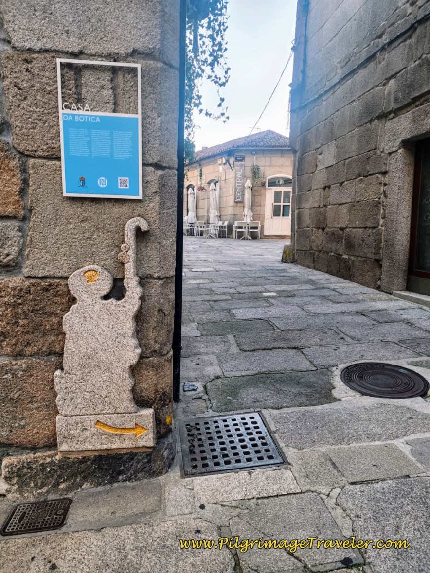 Casa da Botica Historic Landmark and Pilgrim Waymark
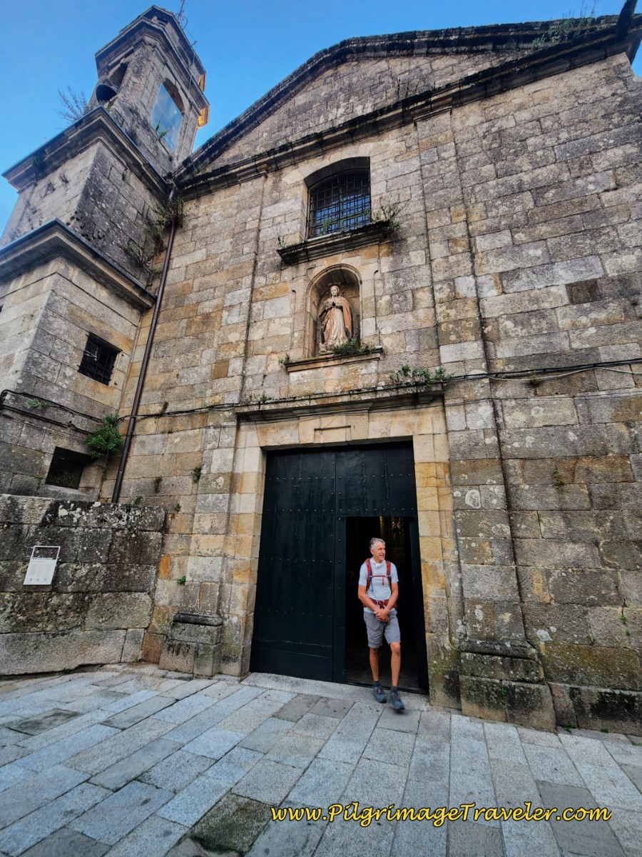 Historic Mosteiro da Concepción Santa Clara
Our second visit here was later in the morning, so the monastery church was open. It is a wonderful place to visit, if you are able.
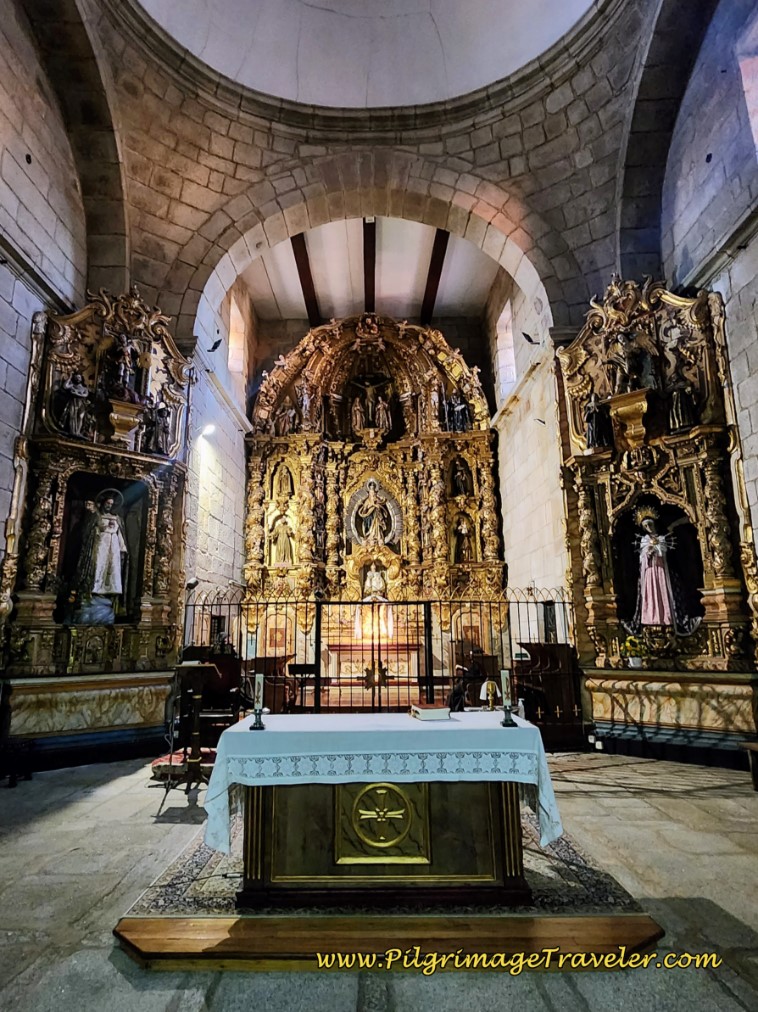 Mosteiro da Concepción, High Altar
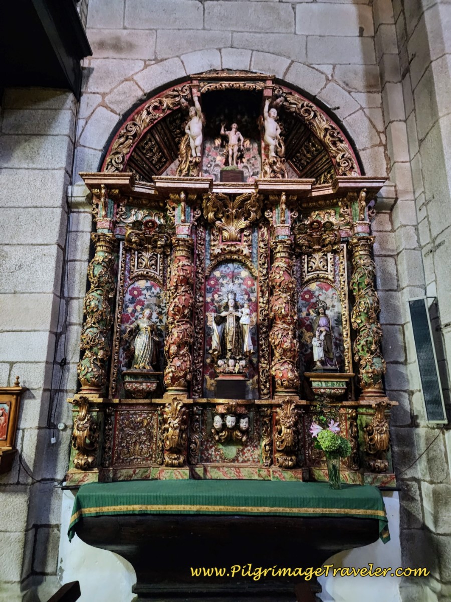 Mosteiro da Concepción, Side Altar
Walk by the convent on the Rúa das Monxas, with a high wall on your left, and the long monastery building on your right. Below is a look back to the cathedral on this street.
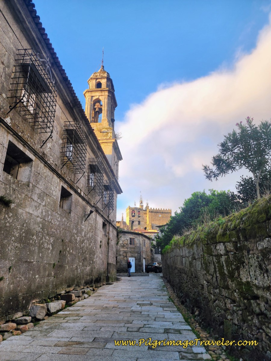 Look-Back on the Rúa das Monxas
The street ends in a clever passageway with a set of steep stairs, that takes you down and through a tunnel, underneath the convent building.
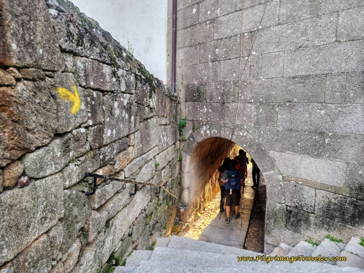 The Rúa das Monxas Tunnel
At the end of the tunnel, take a left turn onto the Callejón Tyde, continuing down the steep passageway stairs.
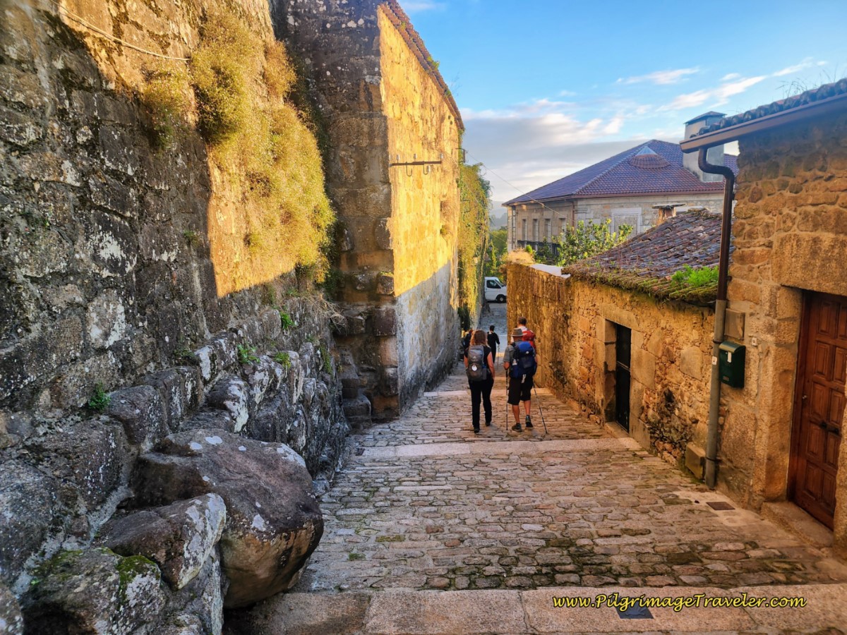 Steps on the Callejón Tyde
In a few meters, take the first right turn, down even more stairs and join the Rúa Tide in a few more meters.
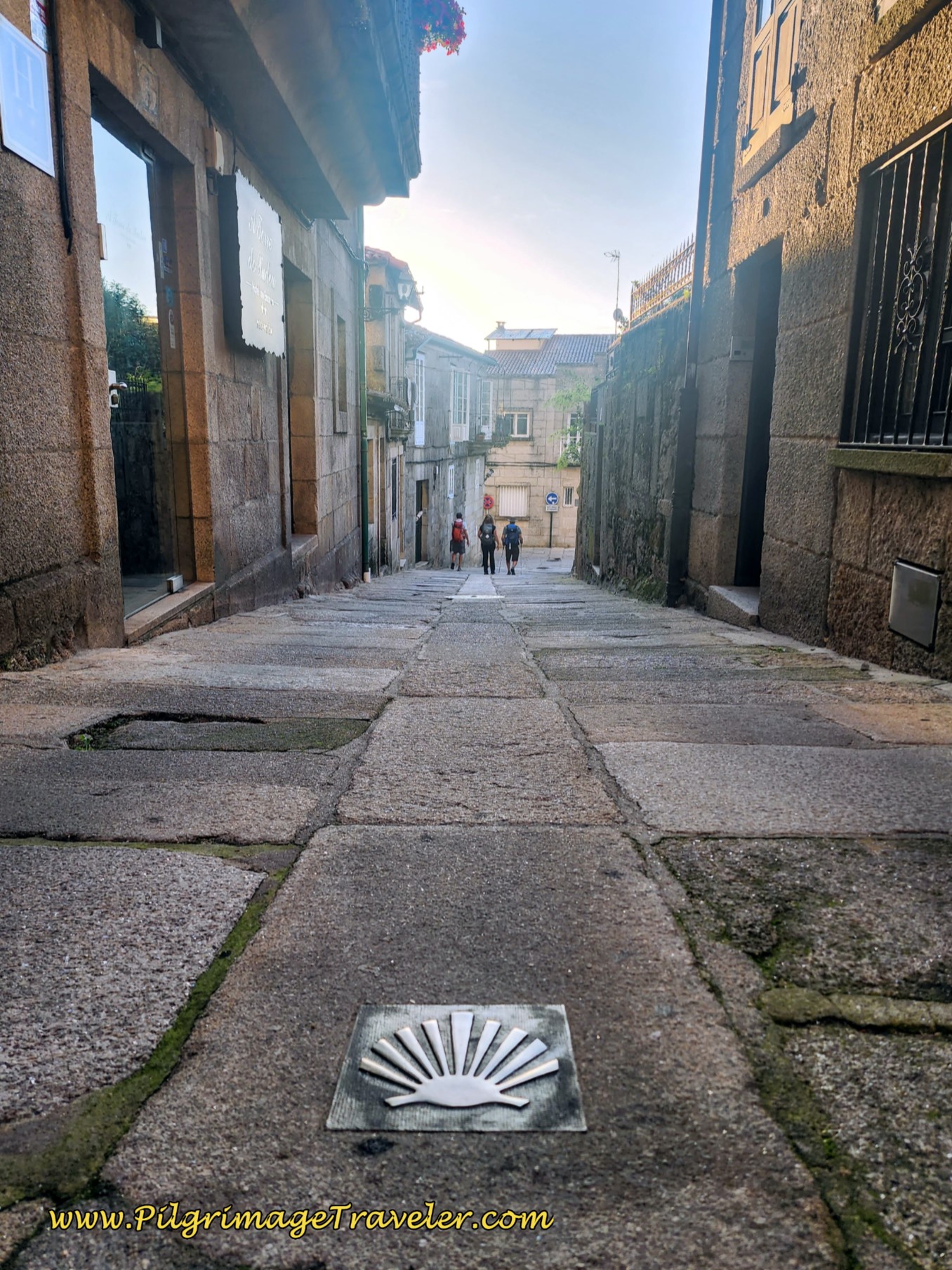 Shell Waymark along the Rúa Tide
This narrow road ends in about 100 meters at a T-intersection with the Rúa Antero Rubin. Turn left here.
You are now through the center of Tui!
Here is a photo of the Rúa Antero Rubin as it looked on a sunnier afternoon, before our rainy day! I wish it looked like this on our day twenty!
The convent and its albergue, the Convento del Camino are pictured here, on the right side of the photo. (If you are looking for accommodations in Tui, click here.)
Back on our rainy day, as we set off down the road, the Igrexa de Santo do Domingo, was immediately on our right, by the convent, shown below.
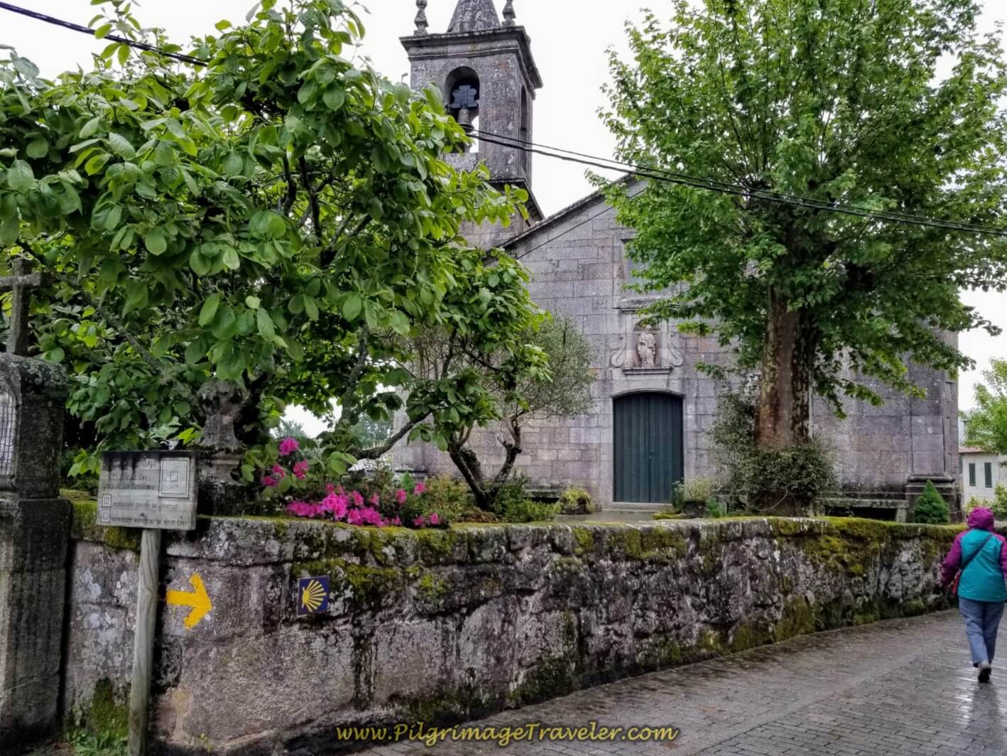
There was a light drizzle as we turned right on the Rúa San Bartolomeu after only a few meters from the church, shown below. It is about 2/3 kilometer, along the Rúa Antero Rubin until this turn.
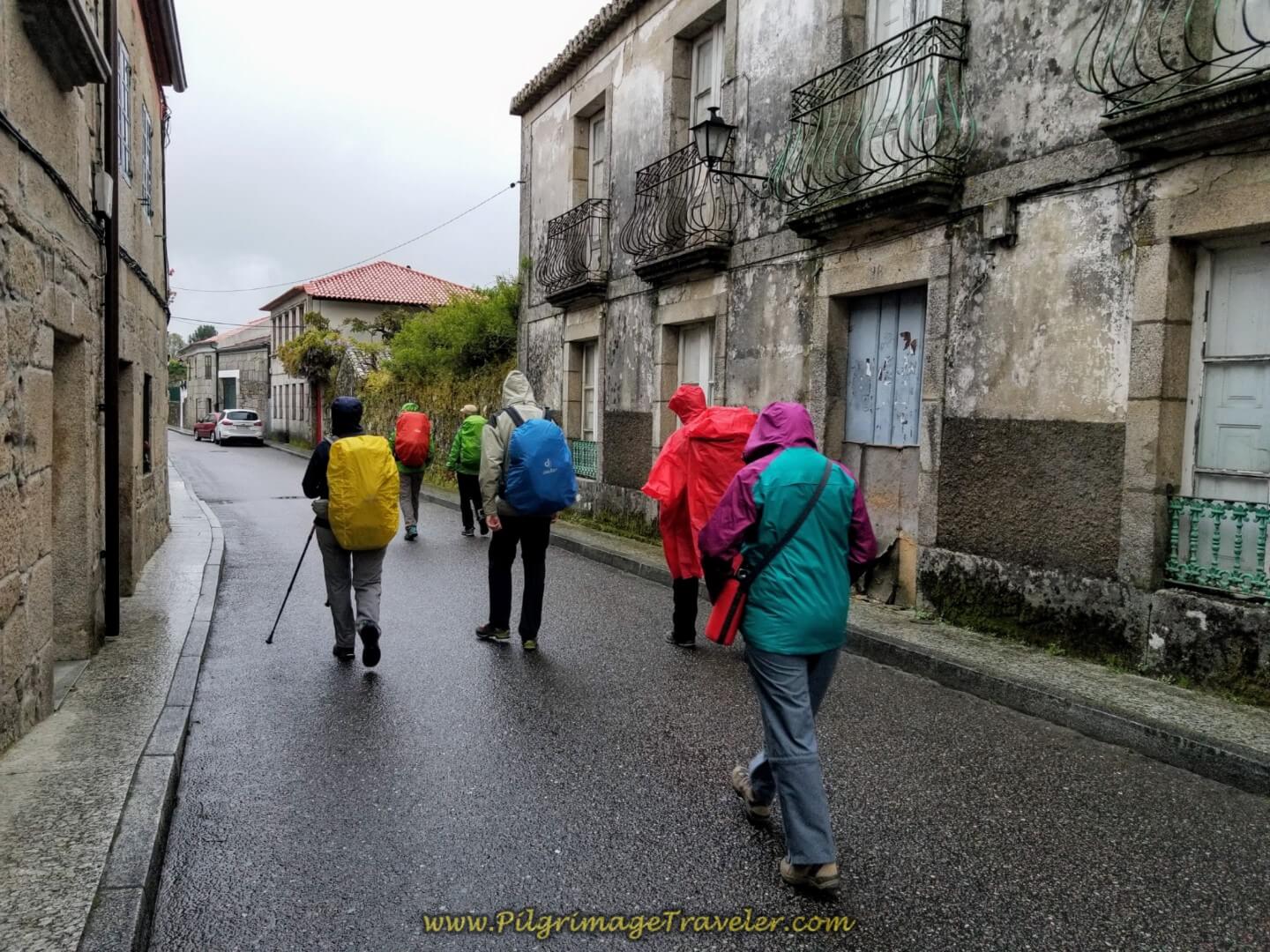 Right Turn onto the Rúa San Bartolomeu
In a few more meters we came to this plaza, shown below, and crossed it by this gazebo and cruzeiro, now heading to the right and eastward. The rain was glistening on the pavement. It is beautiful in the photo and I was in good cheer despite the rain, hopeful for a good day.
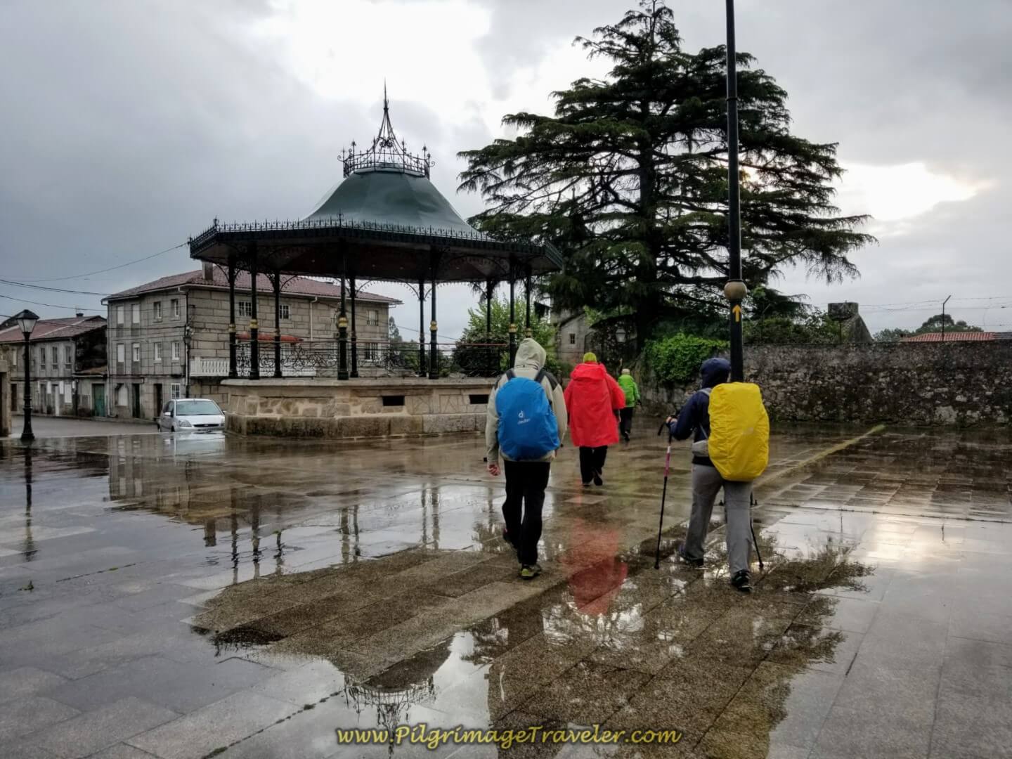 Cross the Plaza at Gazebo
We continued on the Rúa San Bartolomeu to pass in front of the chapel of the same name, the Igrexa de San Bartolomeu, pictured below.
Immediately after the church you take a left onto a farmer's lane heading northeast, shown below on day twenty of the central route of the Portuguese Camino.
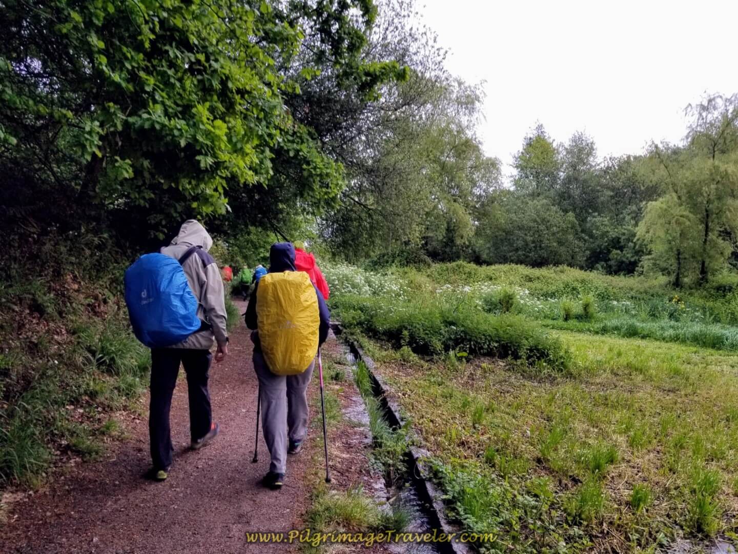 Join Farmer's Lane
After about 300 meters on the lane, take a right turn to join a paved road, the Rúa Arraial. There is a nice red pedestrian path, to keep the pilgrimage traveler safe.
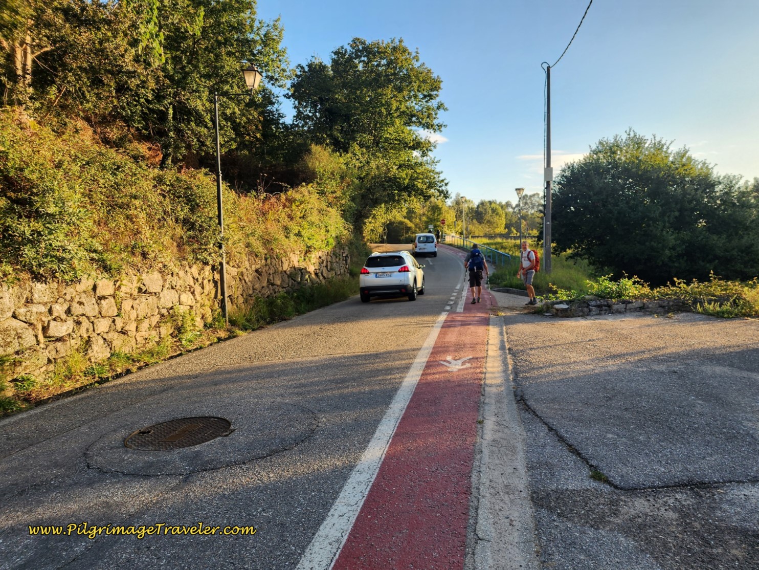 Rúa Arraial Walking Path
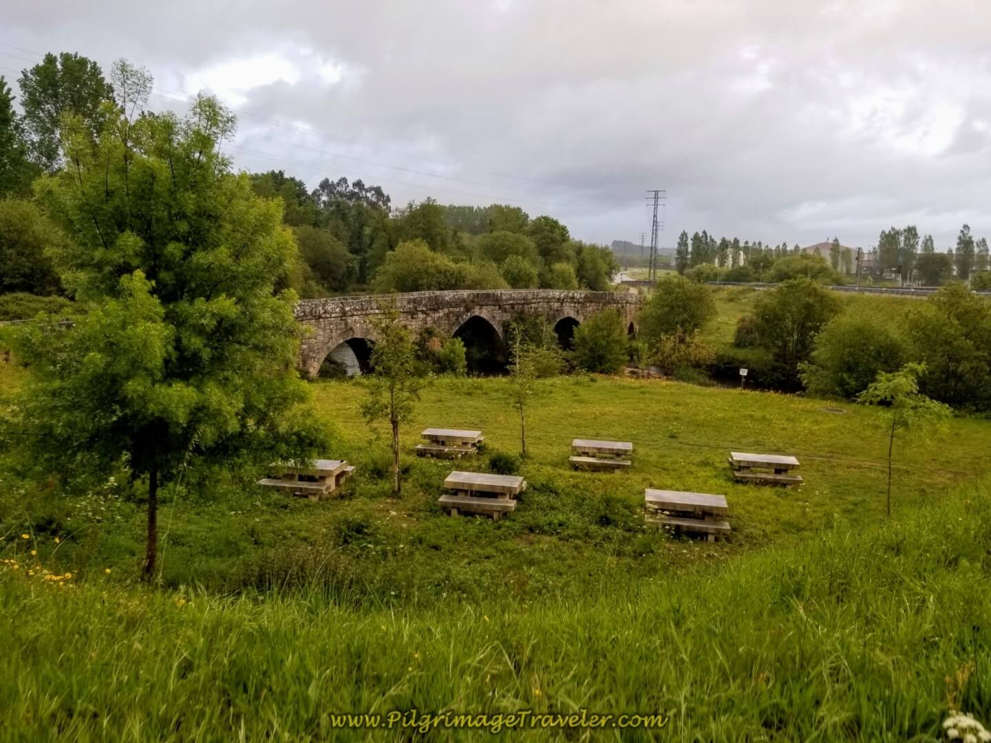
In a few hundred more meters, we came to the historic Puente de A Veiga, an original Roman bridge which was a part of the old roman route, the Via Romana XIX. There are picnic tables, if you have the opportunity to rest here.
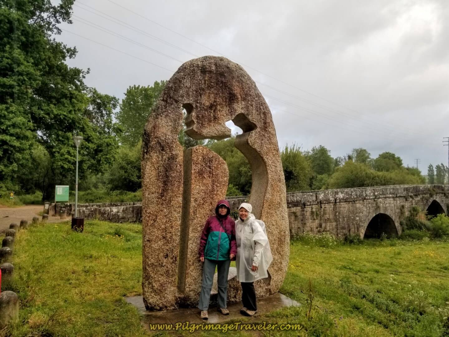
By the bridge is this sculpture of a pilgrim, below, and to the left of the sculpture on the other side of the road is a small fountain with a scallop shell and a staff (not pictured) where you can fill your water bottles. Here Glyvia and I are posing in the drizzle. If you want more information on this area click here.
The Camino de Santiago does not actually cross the bridge, but travels past it and northward on the Camino Barros, shown to the left side in the photo above.
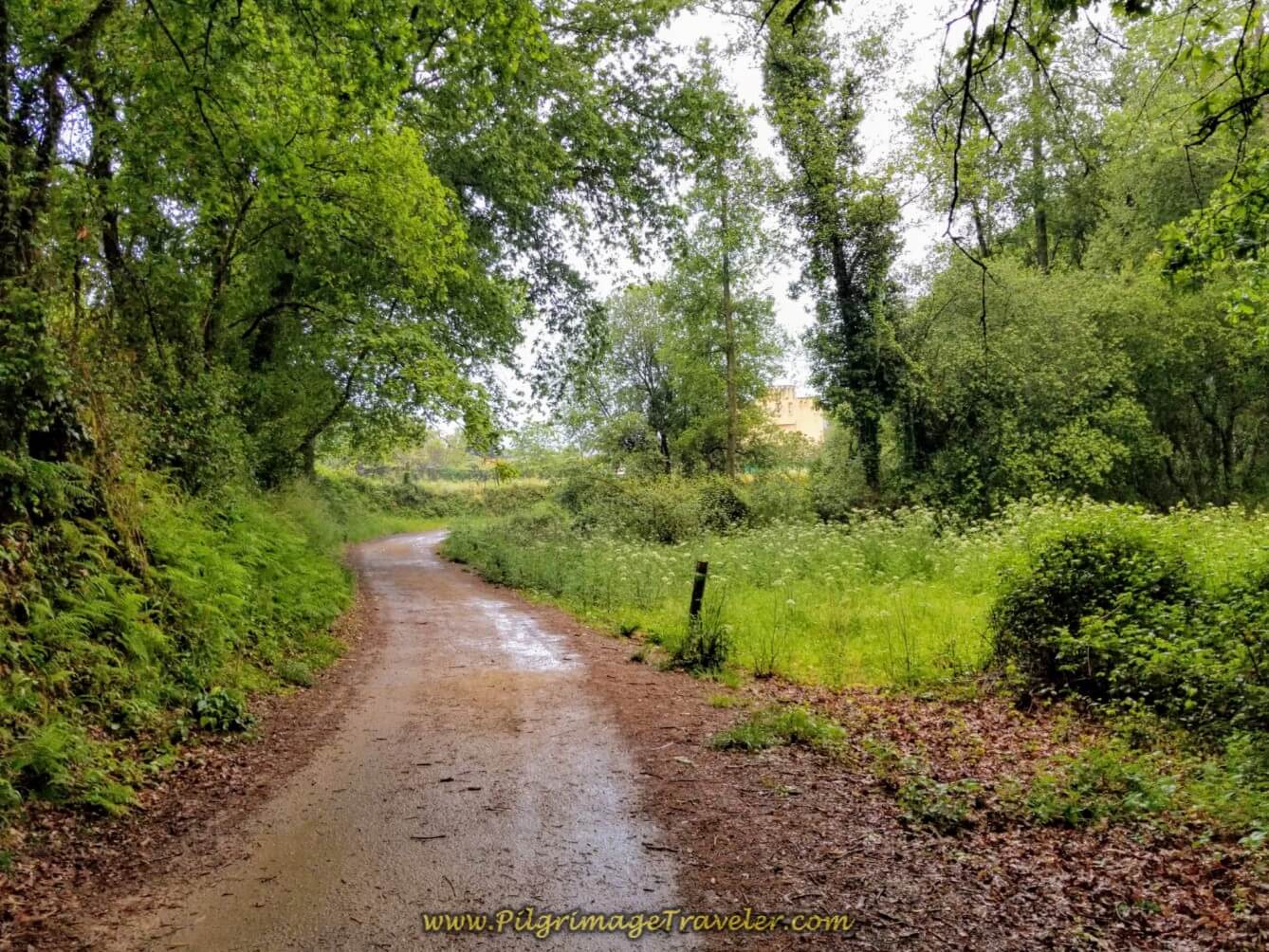
You continue on the Camino Barros for about 1/2 kilometer on this lovely lane, below...
...turning right onto the Sendo Barros, pictured below, with the waymark indicating that you are continuing to follow the Via Romana XIX.
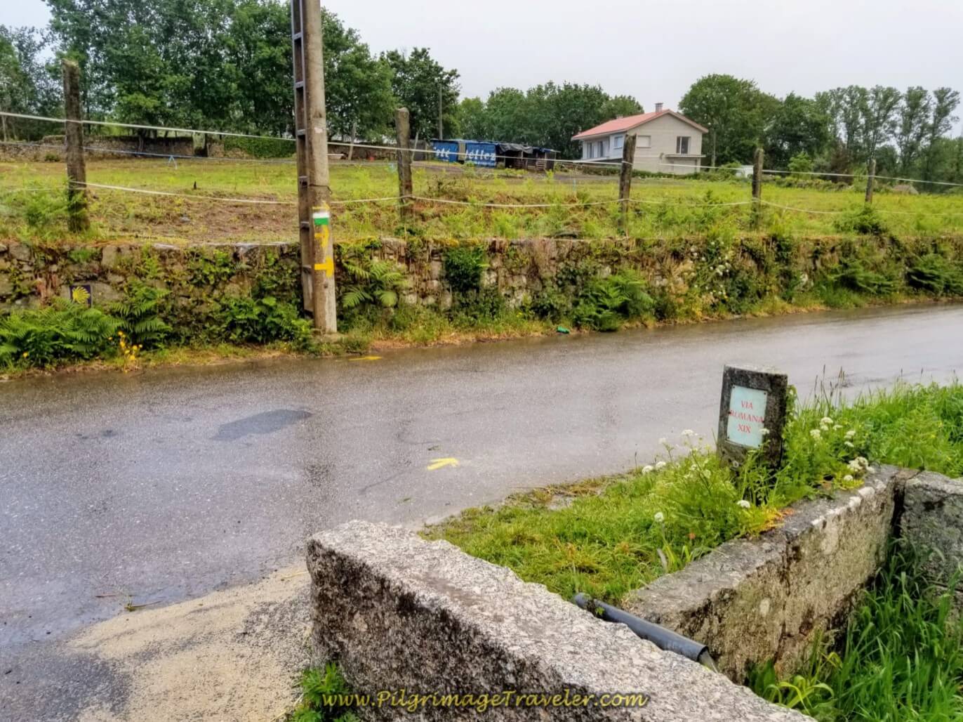 Along the Via Romana XIX on the Senda Barros
Jump to Camino Portugués Stages
The Senda Barros is paved, and here I was looking back at Borut and Miriam, all smiles in the rain!
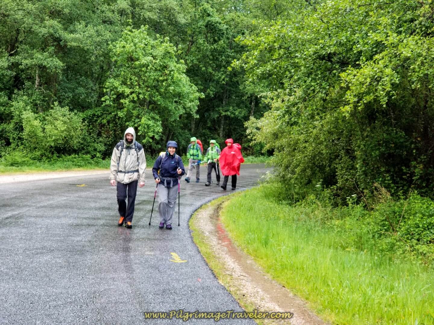 Borut and Miriam on the Senda Barros
Ahead were the railroad tracks we needed to walk under.
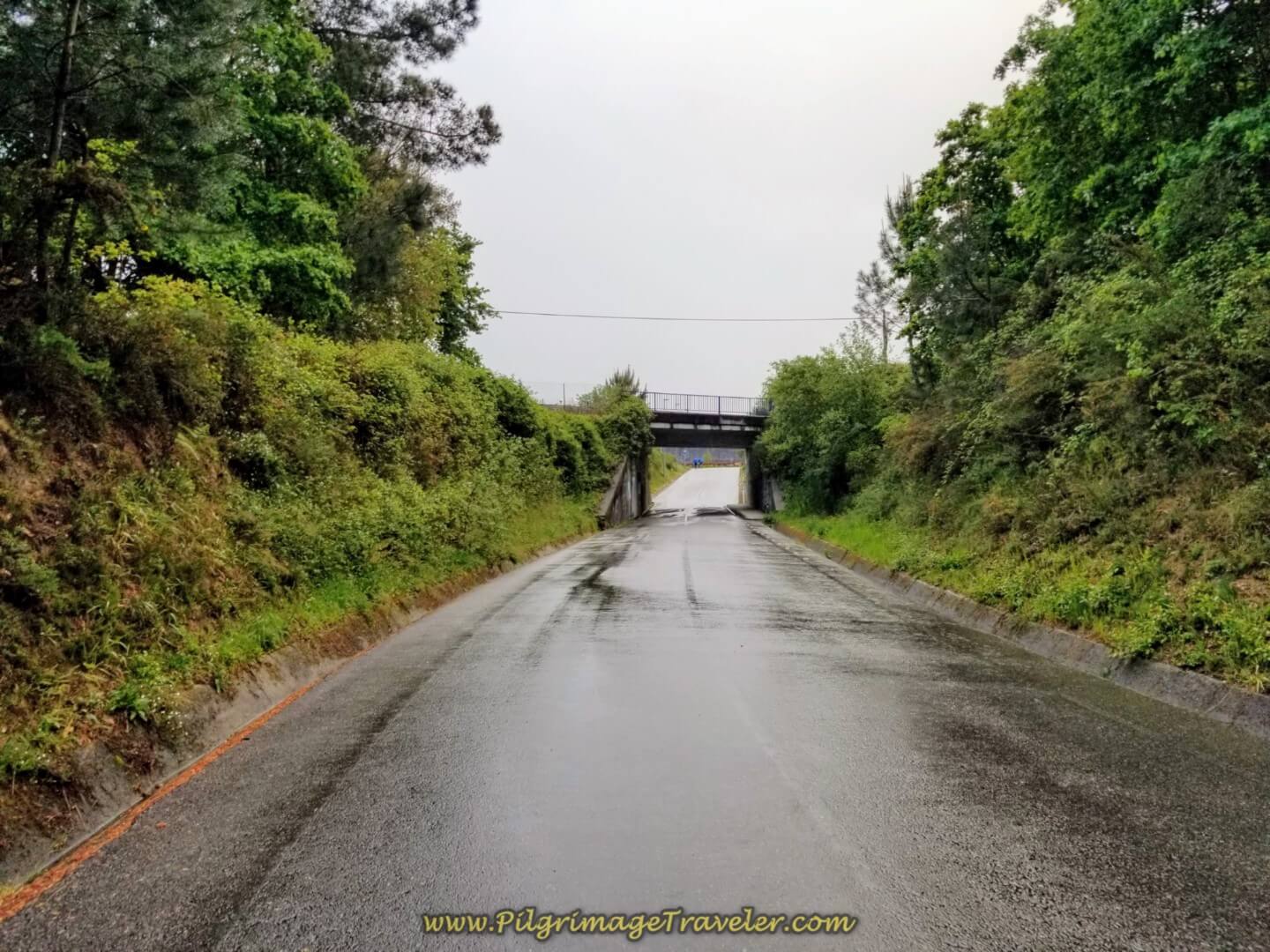 Walking Under the Railroad Tracks
After you cross under the tracks, you come to an intersection with the N-550, after about 2/3 kilometer on the Senda Barros. Here the Camino turns right and stays on the highway only for about 150 meters, taking the first left onto the PO-342. You are now in the town of Virxe do Camiño.
In about 130 meters, you come to the town church. You have completed about 3.2 kilometers at this church. (Photo taken on a different, sunny day!)
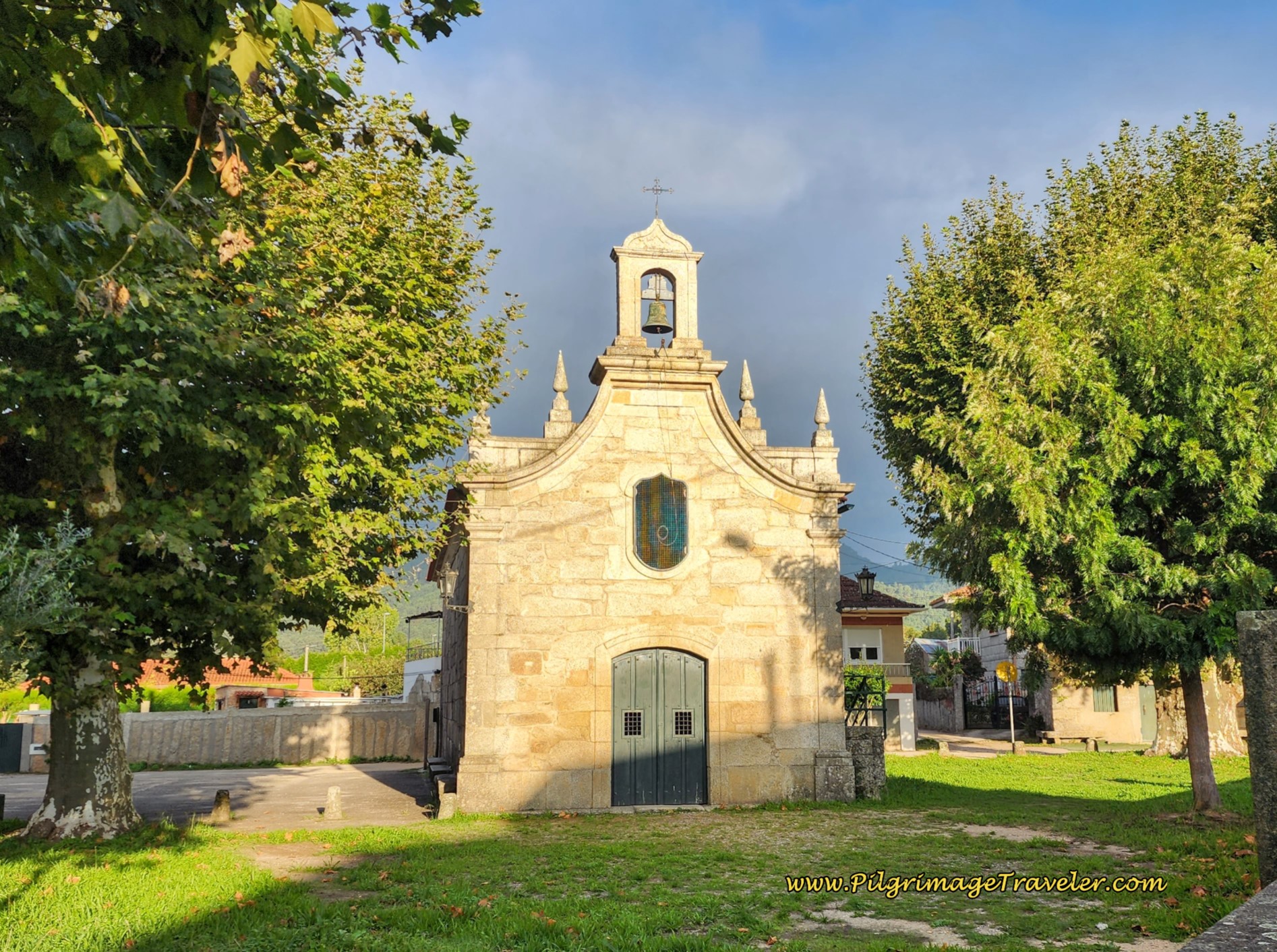 Capela Virxe do Camiño
Just after the church, the PO-342 crosses the A-55 super highway, up and over the bridge shown below. The sign lets you know that you are leaving the town of Virxe do Camiño.
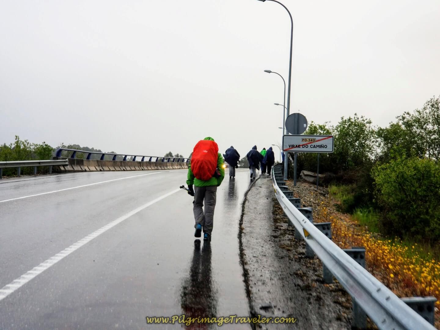 Leaving Virxe do Camiño on the P0-342
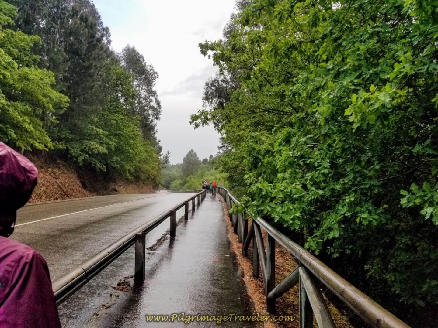
The Way stays on the paved PO-342 for a long two kilometer trudge, or shall I say splash in our case? At least there is a nice, wide shoulder for the pilgrimage traveler to walk upon, and it is through a pleasant forested area, as the sign points you toward the next town of Mosende.
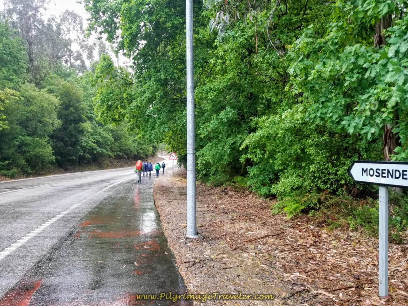 Wide, Safe Shoulder on the PO-342
There is a nice Pilgrim's Path along this section of the PO-342, showing some nice planning on the part of the administrators. They made us our own lane for which I was very appreciative!
The forest all around us was fresh and beautiful from the rain. After about 5.0 kilometers, the sun came out! We went by a nice pilgrim's board with information about the surrounding area and a local map of the Camino de Santiago.
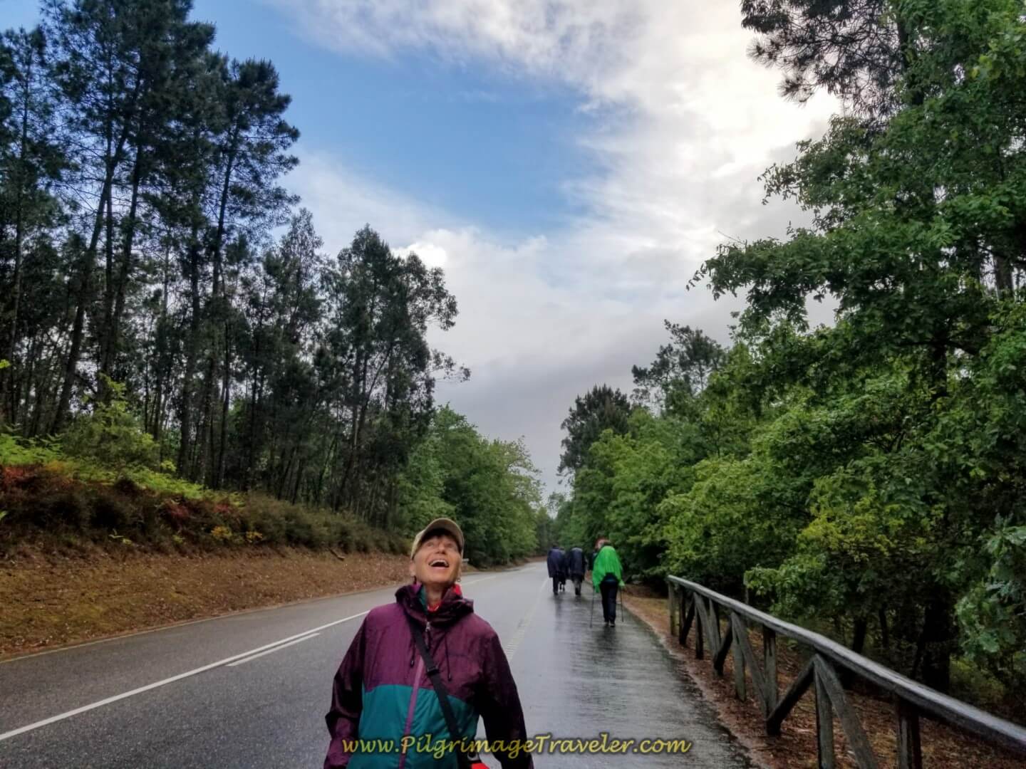 Glyvia Celebrates the Return of the Sun!
Next the PO-342 walks under the E-1, the Autopista del Atlántico, pictured below, on day twenty on the central route of the Portuguese Camino.
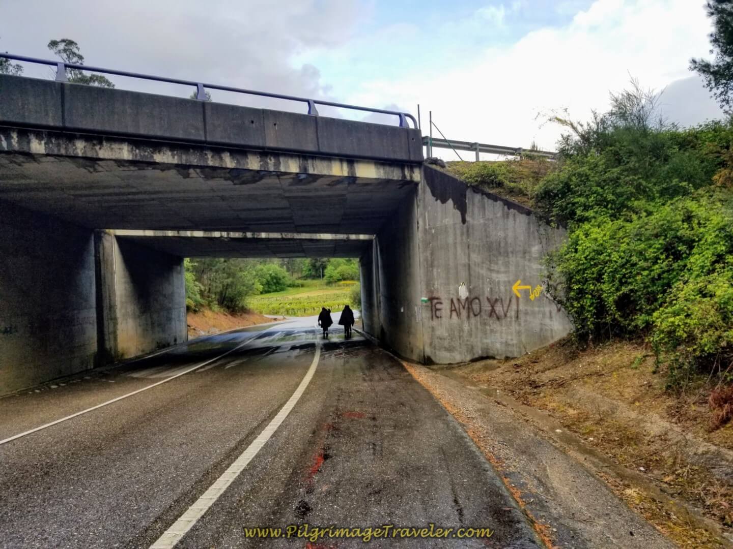 Walk Under the E-1, Autopista del Atlántico
The roadway was easy rolling for Magdalena! Not so great for those of us on foot!
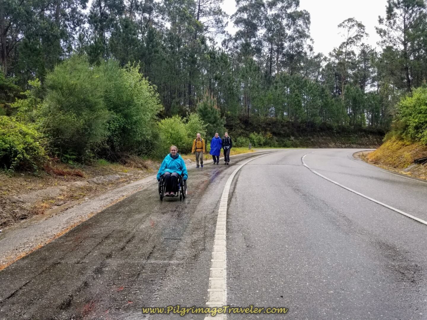 Easy Rolling Magdalena on the PO-342
Ahead of Magdalena and Matt in the photo below, is the intersection, where we finally left the PO-342 after about a full 2.0 kilometers.
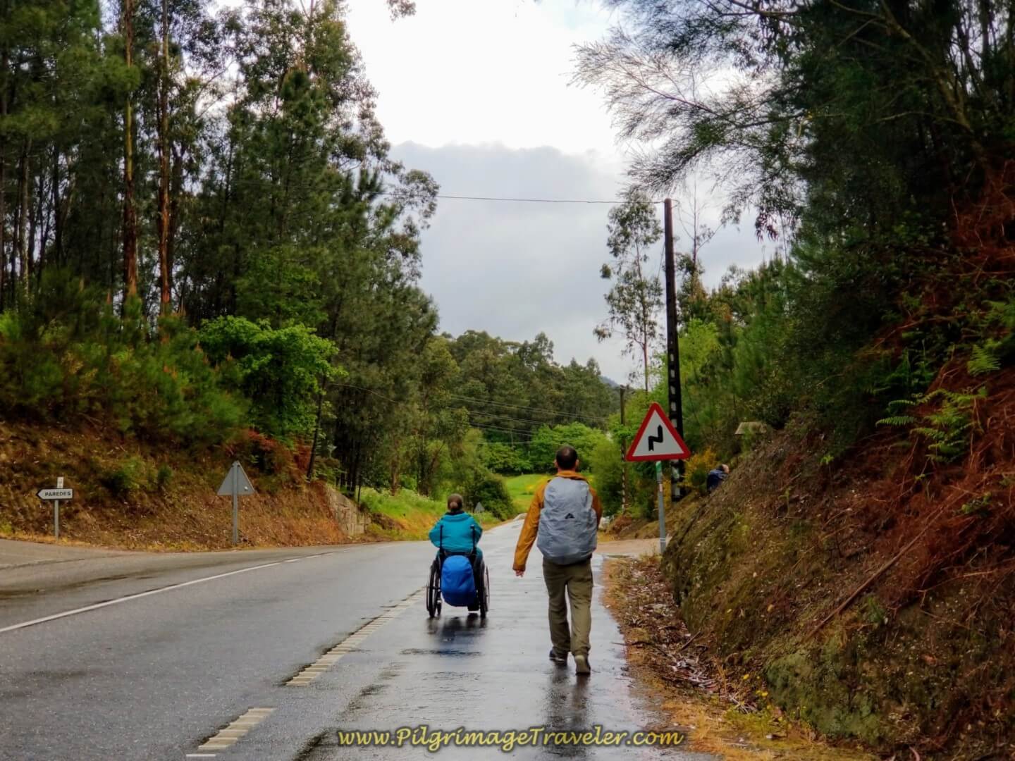 Leave the PO-342 Here
Below is a close-up of the turnoff. Sadly, what once was a nice information board has now been defaced. You have reached approximately 5.2 kilometers at this turnoff.
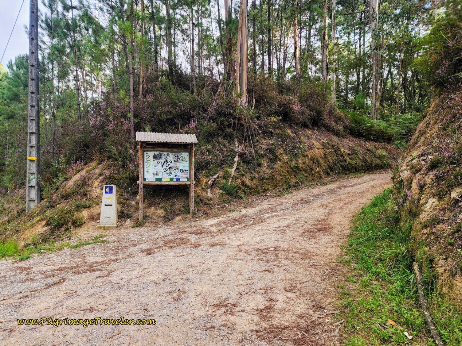 Close-up of Turn Off PO-342
Within a few meters you cross the Autopista del Atlántico again, only this time above it. Storm clouds were brewing again as well!
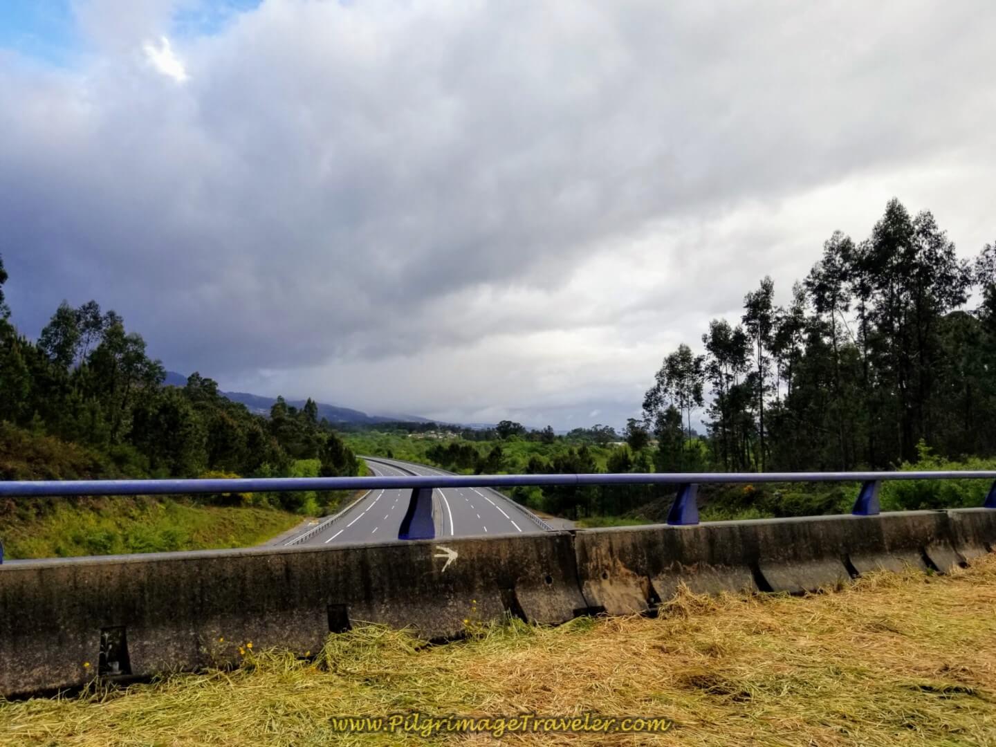 Crossing Over the Autopista del Atlántico, E-1
However, we did get a reprieve when the beautiful sun came streaming through the forest on the lane after the bridge, below.
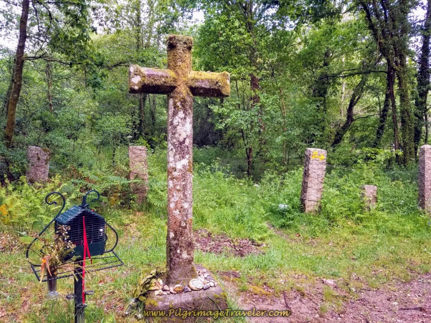
The next landmark we came to was the Cruz de San Telmo, in about 1/2 kilometer...
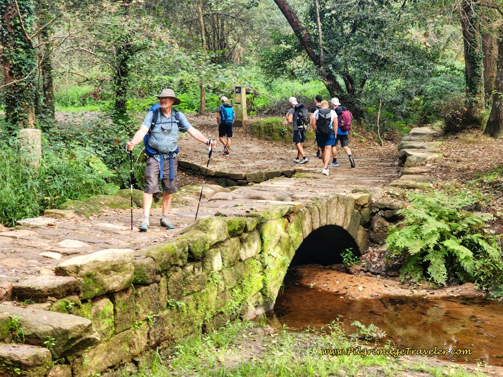
...just before the bridge crossing the Río San Simón. This is a later day photo, below, with our new friend, Barry posing for me on the newly restored bridge. This bridge used to be a wooden one that covered the original one below! This is more evidence of the continued work to improve the Camino!
Here is Glyvia and Rich ~ good friends connecting on day twenty of the Camino Portugués, on the central route. While it was no longer raining, and Rich had even taken off his rain jacket, our sunshine was short-lived.
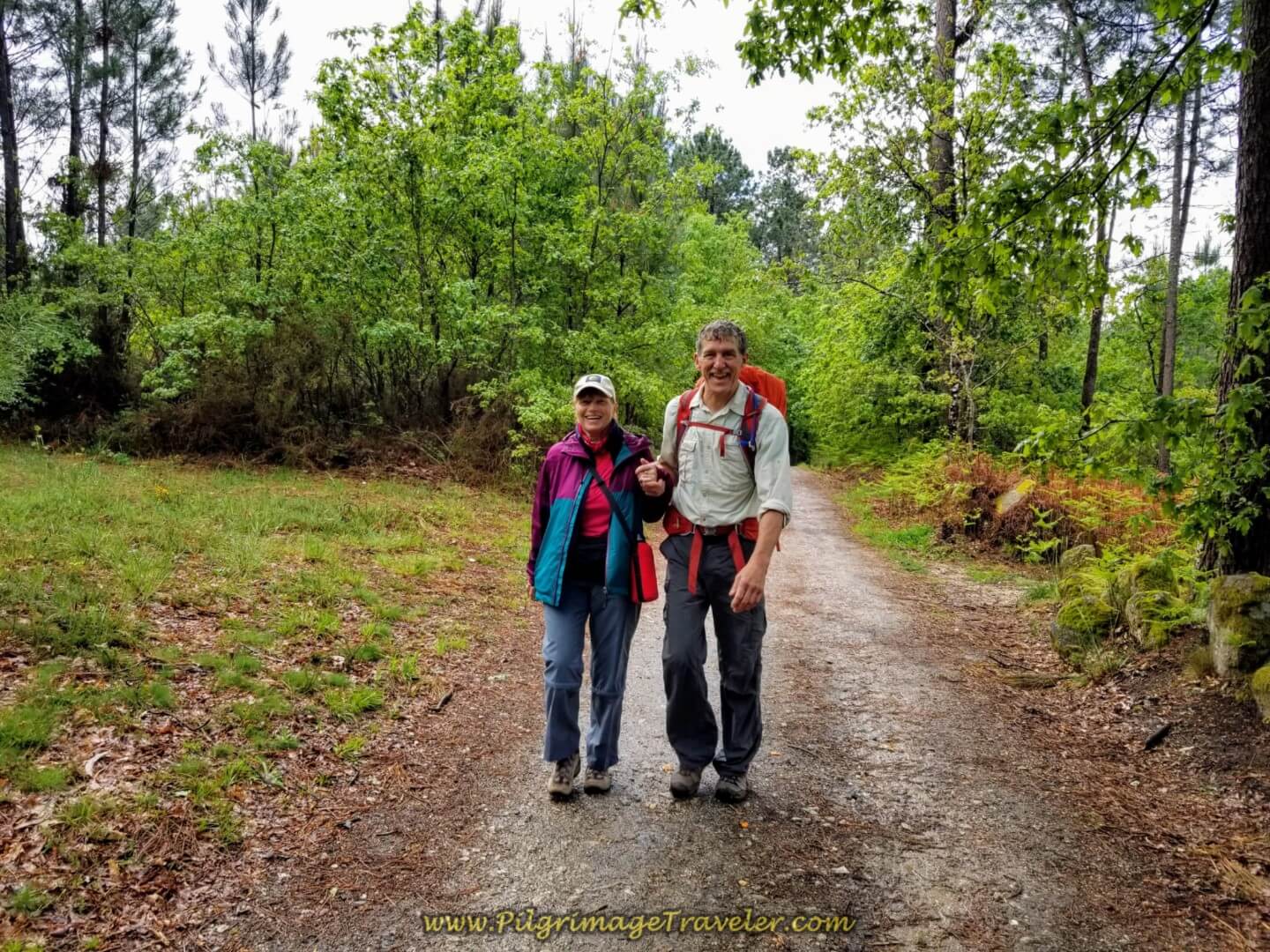 Glyvia and Rich on Day Twenty on the Central Route of the Portuguese Camino
We had fallen behind the rest, Rich, Glyvia and I. Ahead, Team Magdalena was milling about on the road at the entrance to the next town of Ribadelouro. Were they waiting for us?
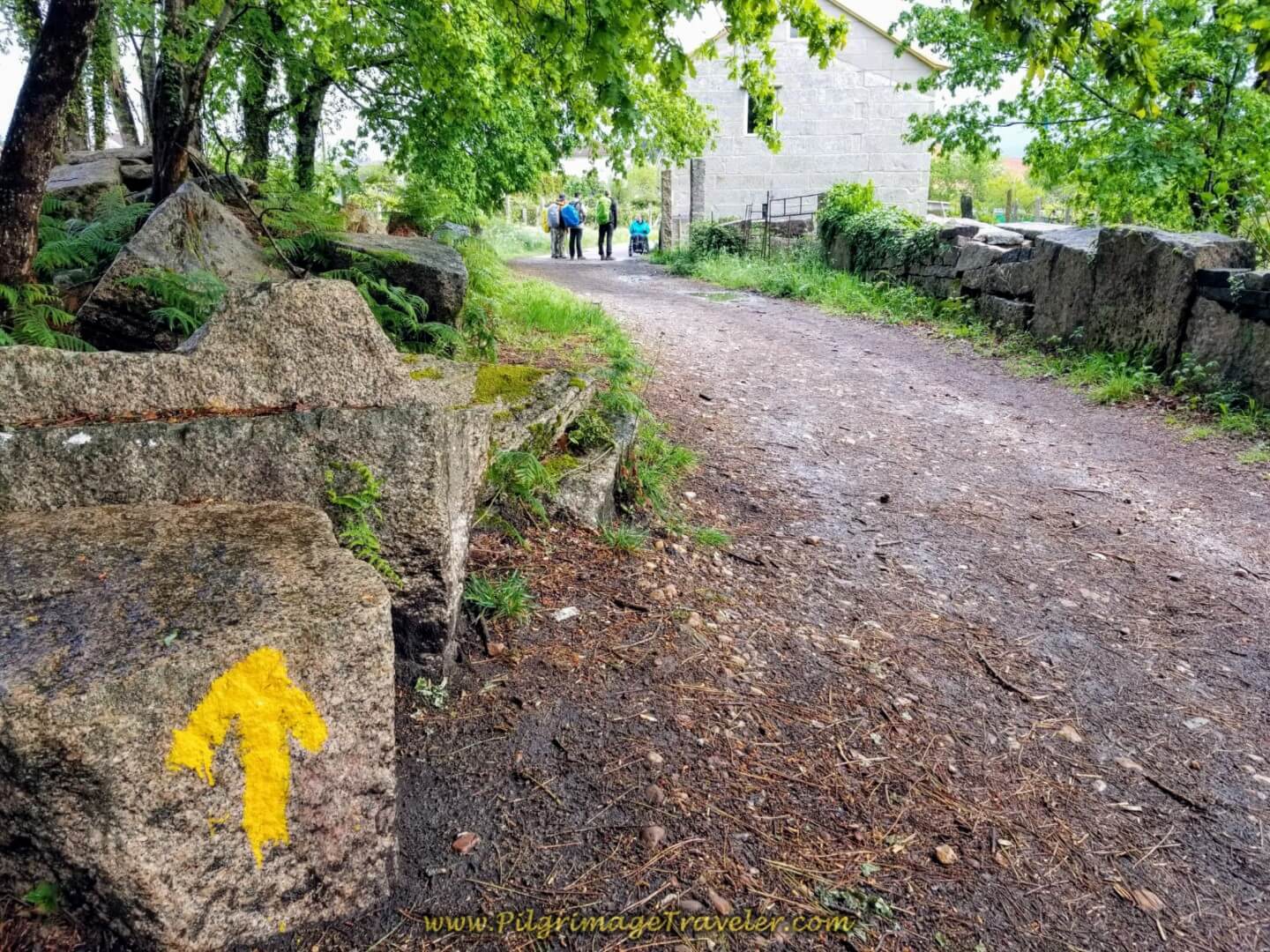 Team Magdalena Ahead
We were coming into a town, having left the farmer's lane for the pavement after about one kilometer on it. As it turns out, they were laughing and admiring a sign that said “A Magdalena.” While we thought it was the name of the town, it is not. Below is Magdalena in A Magdalena! Ha ha! You can faintly see the name on the wooden post to the right of Magdalena. I think Magdalena noticed it because it was right at her eye level! This sign is still there, years later, but it is so faded, one would never notice it.
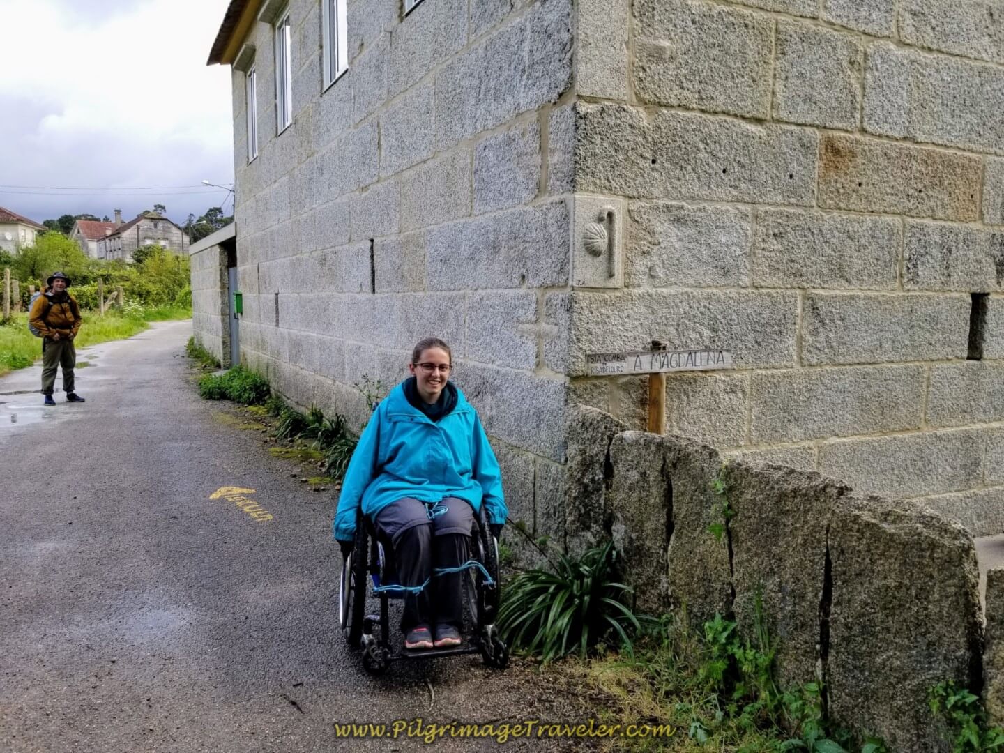 Magdalena at A Magdalena!
And Team Magdalena was all lined up in a row, so I snapped their photo as well on day twenty on the central route of the Portuguese Camino.
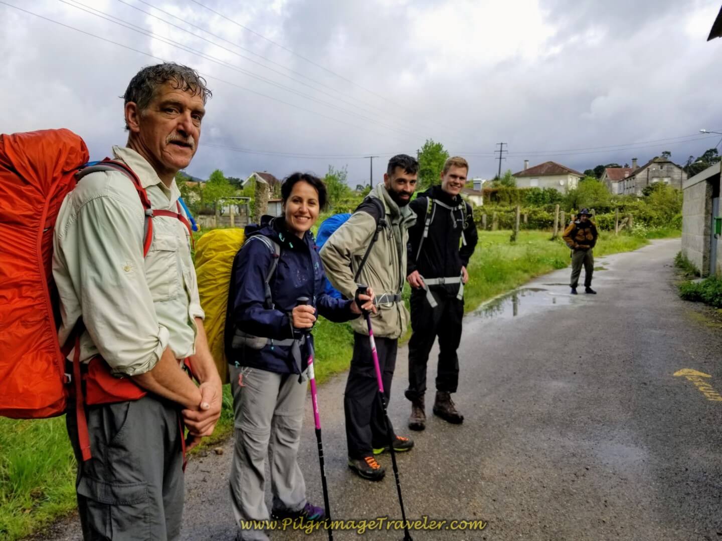 Rich, Miriam, Borut, Magnus and Matt
This building now houses the Café Bar Xarden. Not only is this the first building you come to, it is the first bar you come to! It is a very bustling place now!
Next come to the café at the Pensión Ponte das Febres, about 100 meters after the Café Bar Xarden at the Y-intersection, below, where the Camino goes to the left. There is also the new Guest House Clarevar at this Y-intersection.
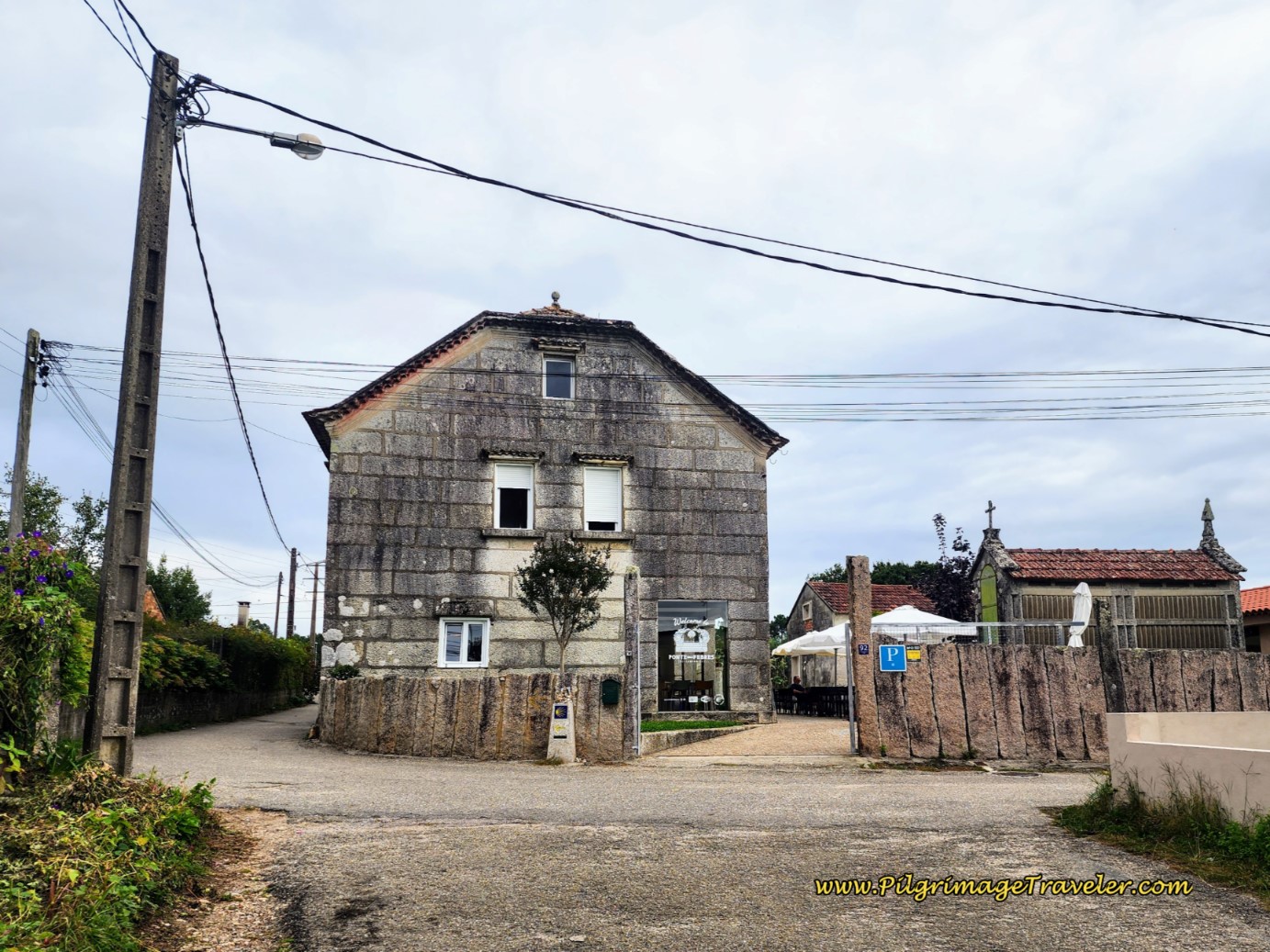 Café and Pensión Ponte das Febres
Just beyond the Guest House at the next left is also the Casa Celia. These services are just shy of 7.0 kilometers for the day.
And below, we are walking onward through Ribadelouro. The Camino winds around on a loop through the town, following the waymarks, for about 2/3 kilometer
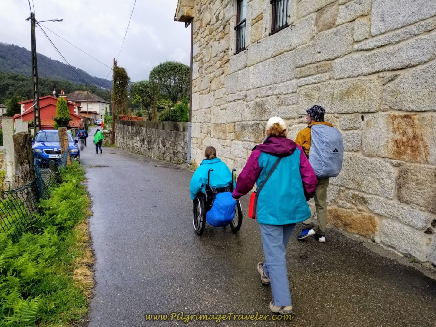 Walking Through Ribadelouro
For some reason, the Camino planners take you on this longer loop. For the life of me, I can't figure out what they want the pilgrim to see. There is a small church and a cultural center that is on the western side of town, but if it were up to me, I would walk straight north through town and not take the loop.
After the pension at the Y-intersection, instead of turning at the first left in town, keep straight on, and then again at the next intersection, until you come to a row of crosses, called the Calvario de A Magdalena, with a park across the street from it, below, after only 300 meters. The official Camino joins here at the crosses and the park, so you will have saved yourself at least 1/3 kilometer - important if you plan to go all the way to Redondela!
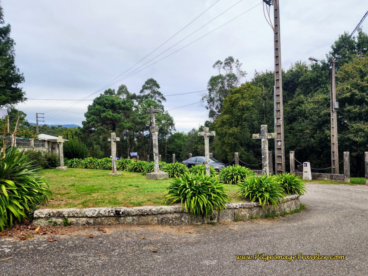 The Calvario de A Magdalena
After the park, you can see the intersections ahead, where you take a hard right and onto another farmer's lane.
Below is Matt performing the tipping technique with Magdalena's chair on the rough areas. He had become quite a pro by now.
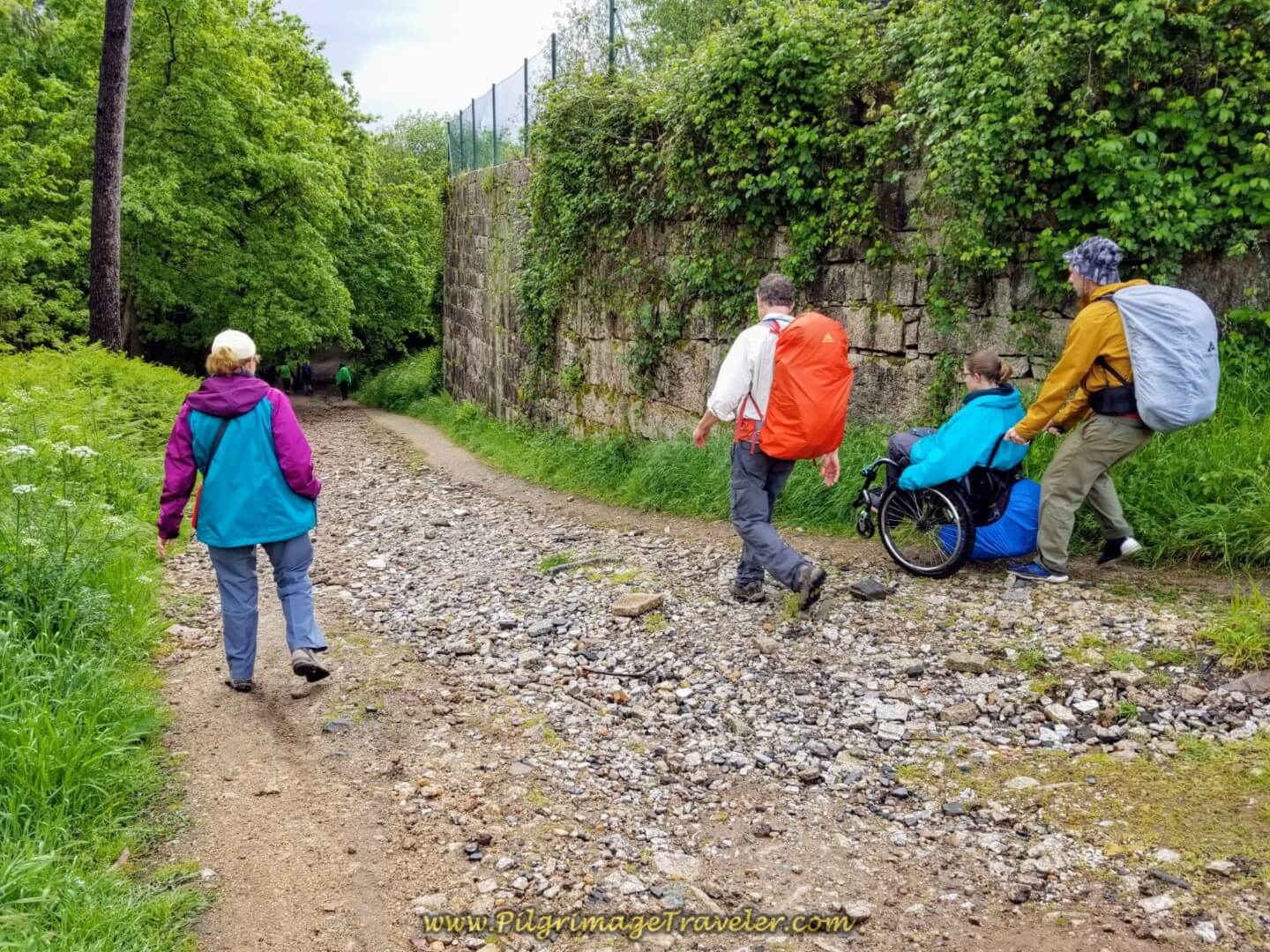 Right Turn Off onto Rough Lane
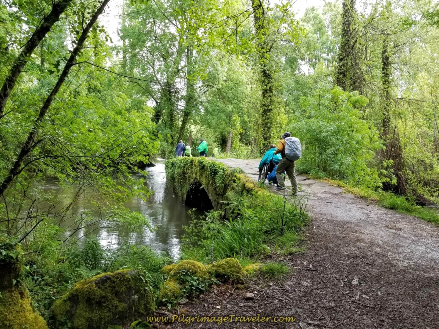
Within 200 meters or so, you meet the Río Louro again and cross it on the charming Roman bridge, the Puente de Orbenlle, below.
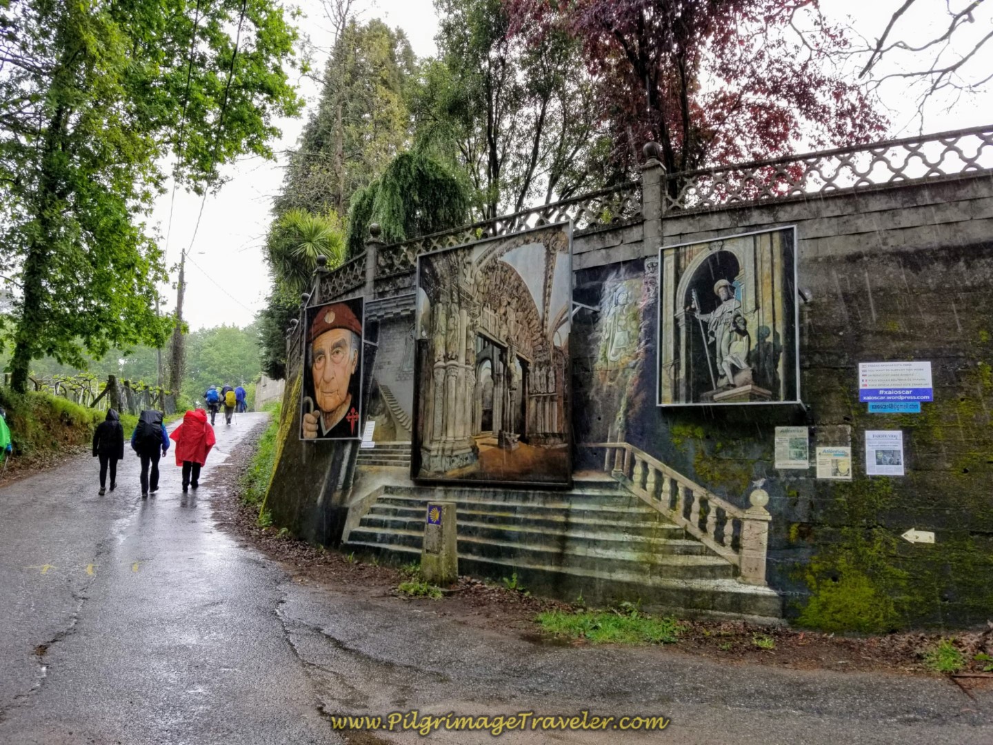
This lane continues to wander through the forest for about another 1/2 kilometer before coming a T-intersection, below. This is the town of Orbenlle's greeting to the pilgrims. There is a mural depicting the very famous Portico da Gloria from the cathedral entrance in Santiago de Compostela. Pause for a minute and look at the artistic depictions. Then you turn left here onto the street called the Polígono das Gándaras.
Jump to Camino Portugués Stages
The Critical Decision Point! (Big Orange Star on the Map)
After only about 150 meters past the mural, you come to a double waymark, shown below. I have marked this decision point with a big orange star on the map above! It is located about 8.5 kilometers into the stage.
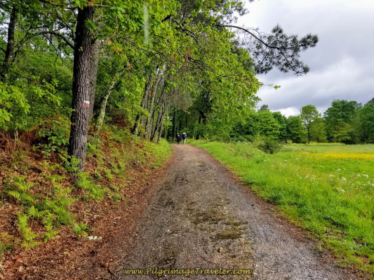
The way to the left, labeled as the “C. Complementario” takes you on a lane that leads you back into the forest, continuing on lovely paths, over another old bridge and on quiet, paved secondary roads near the end. This may be the way that you want to go!
The official way to the right, will conveniently take you through the next town, Os Eidos, past several bars and the Albergue Casa Alternativo. This is all fine and good if you want to go to these establishments. Unfortunately, this Way also takes you onward into an ugly industrial area for many kilometers towards O Porriño, if you don’t return back to the Complementario Route after visiting the bars!
The way the markers appear, you may have the tendency to take the right path, believing this looks more like the "official" way! While the way to the right is actually the official route, it is not perhaps your personal best route.
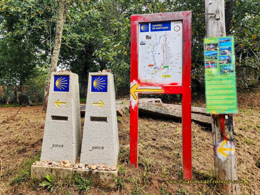 Decision Point at Double Waymark in Orbenlle
These double waymarks were not there when we first walked this way. It seems that there has been a war of many years, at this very intersection, where paint is removed, yellow arrows changed, wooden signs taken down, all in the attempt to get the pilgrimage traveler to go to the right, through town and by the local proprietors' establishments!
This is not totally a bad thing, if you wish for a stop at the nearest café. We did exactly that, but looped back to the Camino Complementario. But at that time, we were still following the yellow arrows as they used to be!
It is also not a bad thing, if you wish to take the absolute shortest way, if you are planning to walk through to Redondela. The industrial route is shorter by a full 1.22 kilometers, not an insignificant amount. Plus, as stated above, you will have many more services, and after walking through the five kilometers of industrial ugliness in As Gándaras, you will enter the outskirts of O Porriño and pass by many attractive churches, a hermitage, cultural buildings and a pedestrian shopping street as you walk into the heart of the city. This is a very enjoyable portion of the route.
Make your own choice, which route is best for you! Scroll down to see my photos and descriptions to help you decide. As far as I could see, almost all pilgrims make the choice to take the Camino Complementario!
Jump to Camino Portugués Stages
The Camino Complementario
Since it was starting to drizzle again by the time we reached this decision point, we were grateful to walk an additional 2/3 kilometer to the one and only open café we had encountered thus far, after about 9.4 kilometers more or less into day twenty on the Camino Portugués along the central route.
When I was first writing this information, many years ago, I noticed the loop to the café that you can see on the map above. (This loop used to be the official and only way, before the creation of the new official route through the industrial area!) I laughed when I realized that indeed we had been walked around a loop to the café. I thought it was the Camino planners who did this, but I should have known better. In fact, I even called it the "Conspiracy Detour" in my original writing! In fact, there are now several eating establishments and an albergue within this loop!
It was a well-timed stop for us. The only café at the time was about 650 meters off the Camino Complementario, and the loop back for a total of about an additional one kilometer. Hopefully you stopped in Ribadelouro to avoid this extra walking.
If you decide you don't need a pit stop, take the left hand turn onto the path at the double waymark. In only about 300 meters, come to an intersection, go left and come to this bridge, below, the Puente de Baranco, that crosses the Río Louro. The loop route we took, joins the Camino here at the bridge.
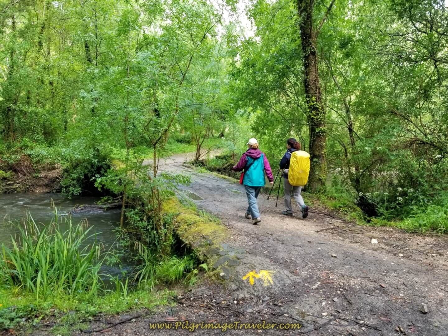 Glyvia and Miriam Cross the Puente de Baranco
This area must have already received a lot of rain, as evidenced by these muddy ruts in the road after the bridge. Perhaps this is a frequently occurring phenomenon, as there was a nice stone path to the right of the road to walk on!
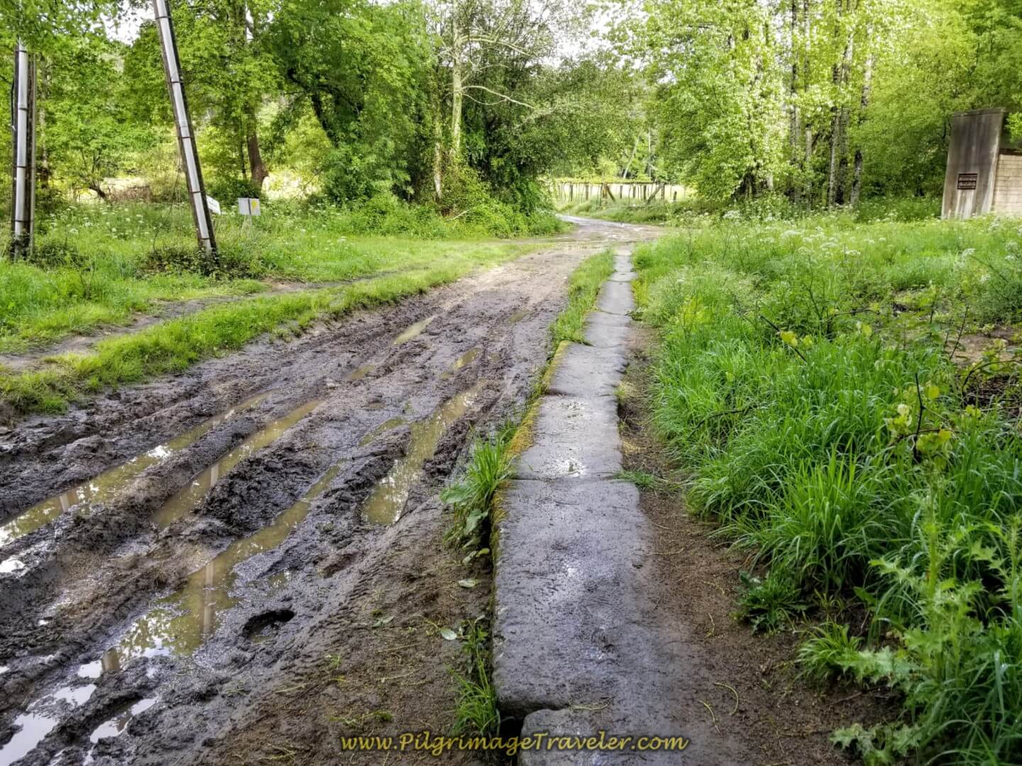 Stone Path Beside Muddy Ruts in the Road
Where there was no standing water and mud, the lane looked very lush and inviting.
After 600 meters on the lane, the Camino de Santiago briefly joins the pavement to walk through a cluster of homes...
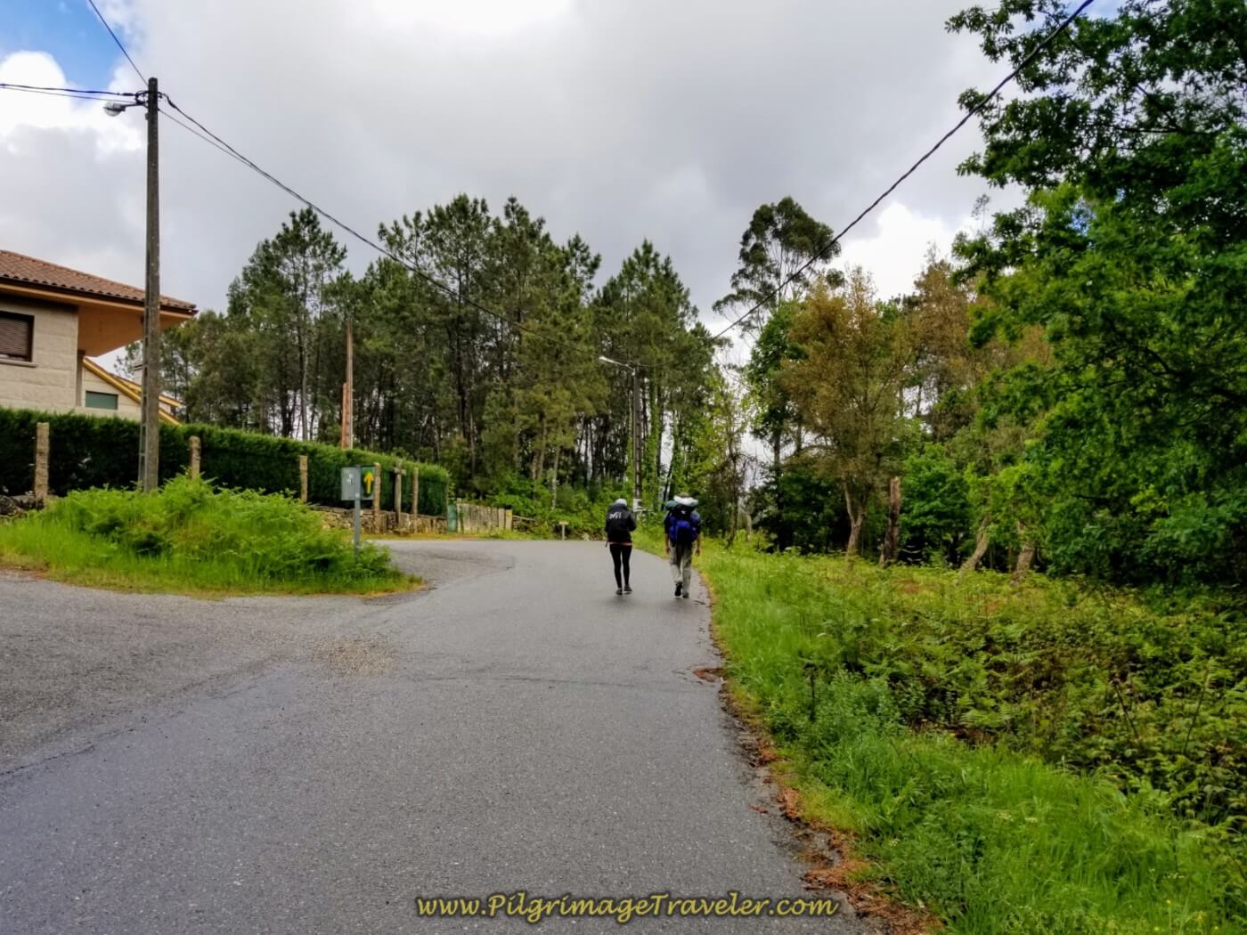 Joining the Pavement Briefly on the Camino de Santiago
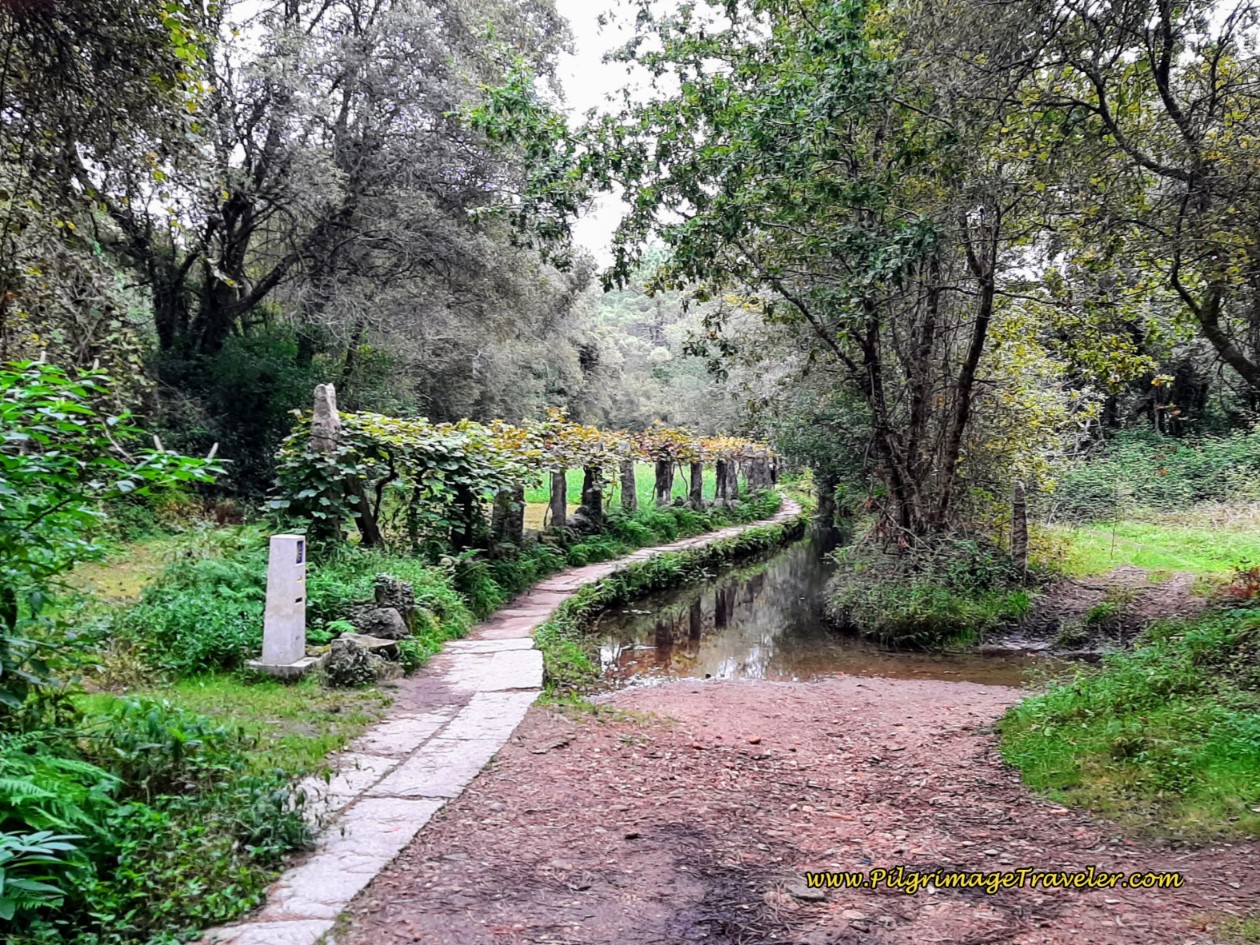
...before turning onto another path, below, that follows a canal. The Camino follows this path for about an additional 600 meters.
The path turns into a forest road again, for 1/2 kilometer more.
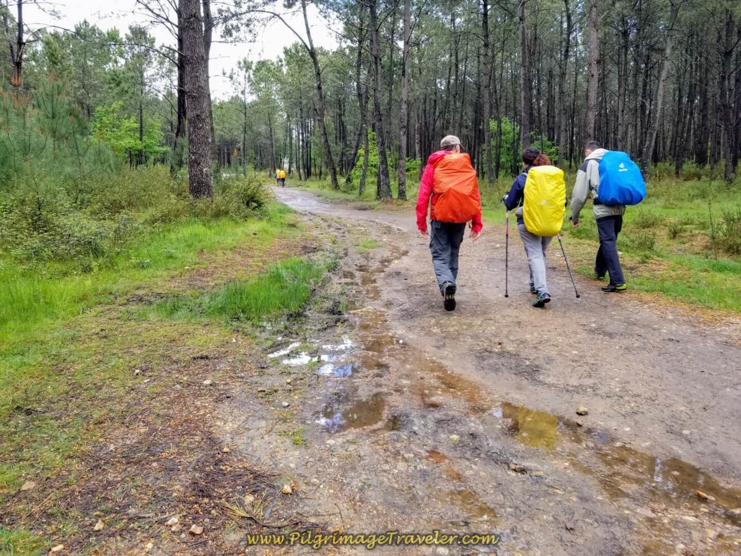 Rich, Miriam and Borut on Day Twenty, Central Route, Portuguese Camino
Once again you join the pavement, below and walk under the E-1, the Autopista del Atlántico.
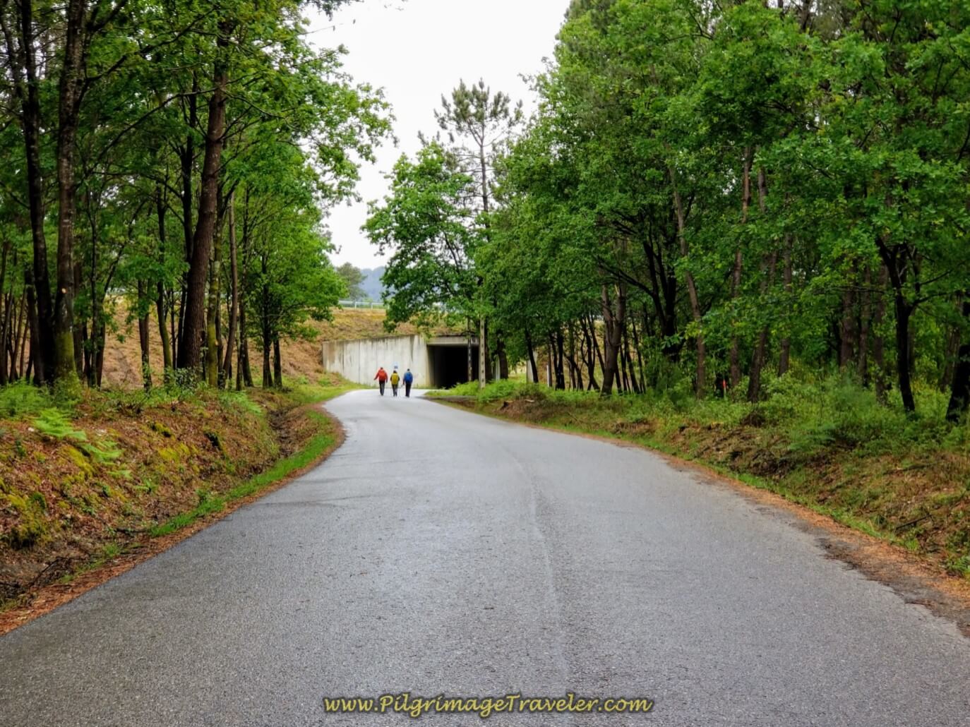 Walking Toward the E-1
Continue through the tunnel and walk up the hill on the other side, reaching the small town of Quintenla. At the top of the hill, stay straight at the intersection in town, and then in only a few meters, stay to the right to take the pavement down a hill and back into the woods.
This paved road is very quiet, first walking through the forest and then through the fields, in the direction of the next town of Centeáns for about one kilometer.
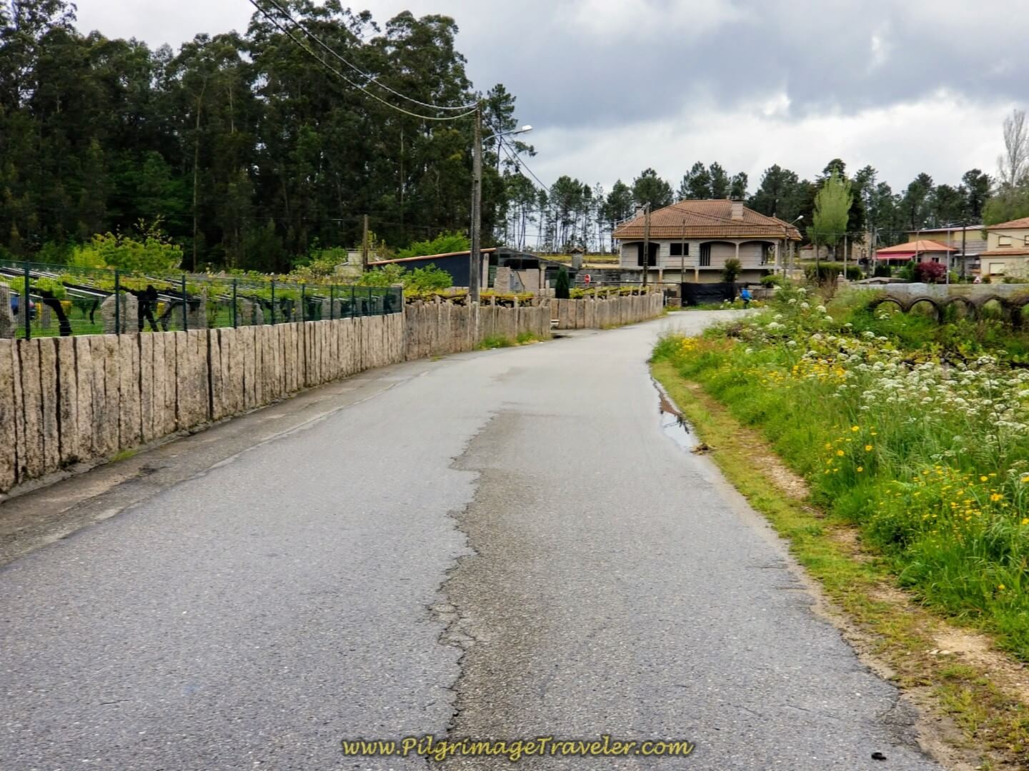 Walking Through the Town of Centeáns
The road takes a strong bend to the north, as the Camino walks you through the town of Centeáns for about 2/3 kilometer.
On the north end of town, you turn right to go eastward again. It is easy to recognize this turn, as the sidewalk is now green as shown, below. If you need a break, there is a café, just one block north of the Camino, at the first left turn on the green sidewalk, by the Ermita de San Campio.
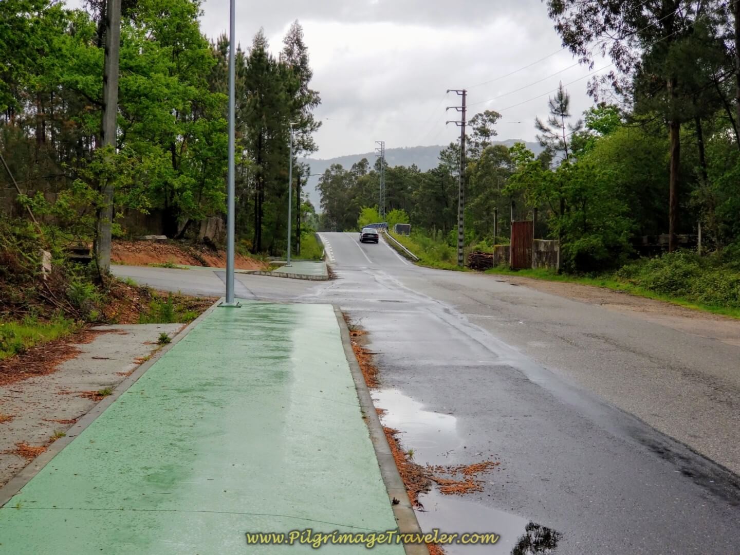 A Pilgrim's Green Beltway
Cross the Autopista again. You have reached a total of 13.0 kilometers for your day at the overpass.
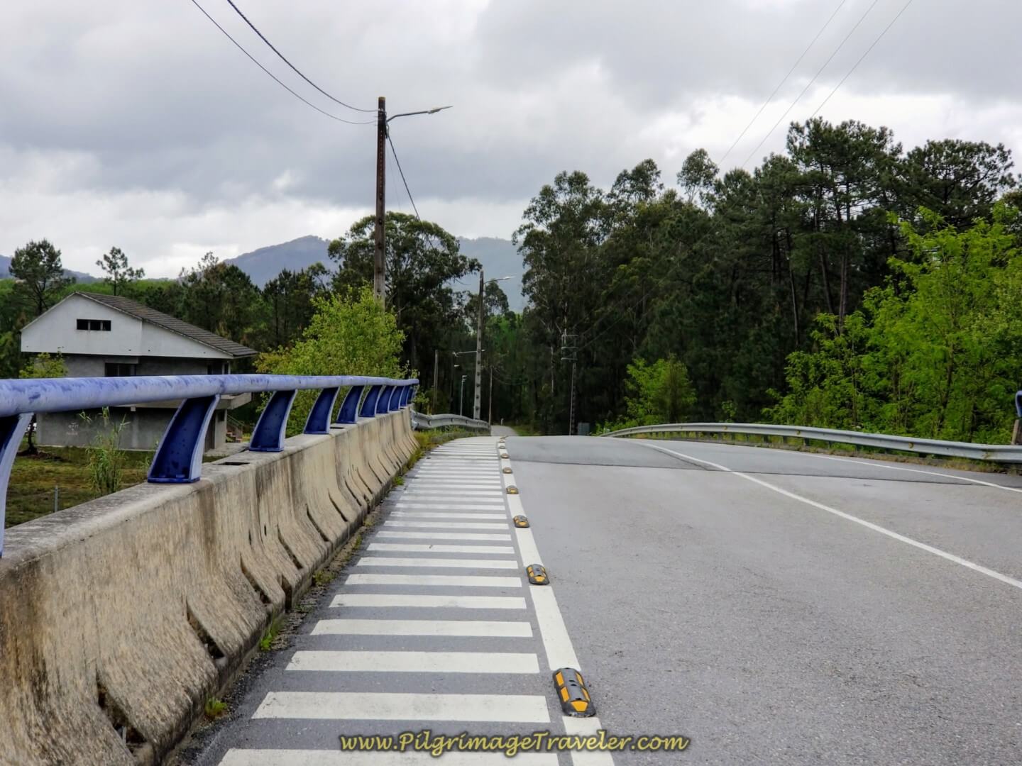 Cross Over the Autopista Again
You continue to follow the green pathway on the Rúa Guia for about 1.30 kilometers from the highway crossing, where the Way becomes more industrial-looking as you near O Porriño.
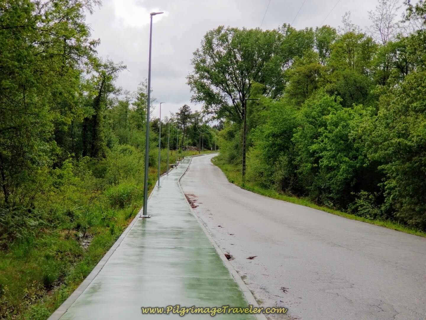 The Green Pathway Continues Toward O Porriño
Come to a small roundabout, where you turn right toward the city, continuing on the green beltway.
Here is a photo of Glyvia, Borut and Rich approaching the roundabout. It was raining quite nicely at this point, and I was eager to get into town to have a cup of hot coffee and to dry out!
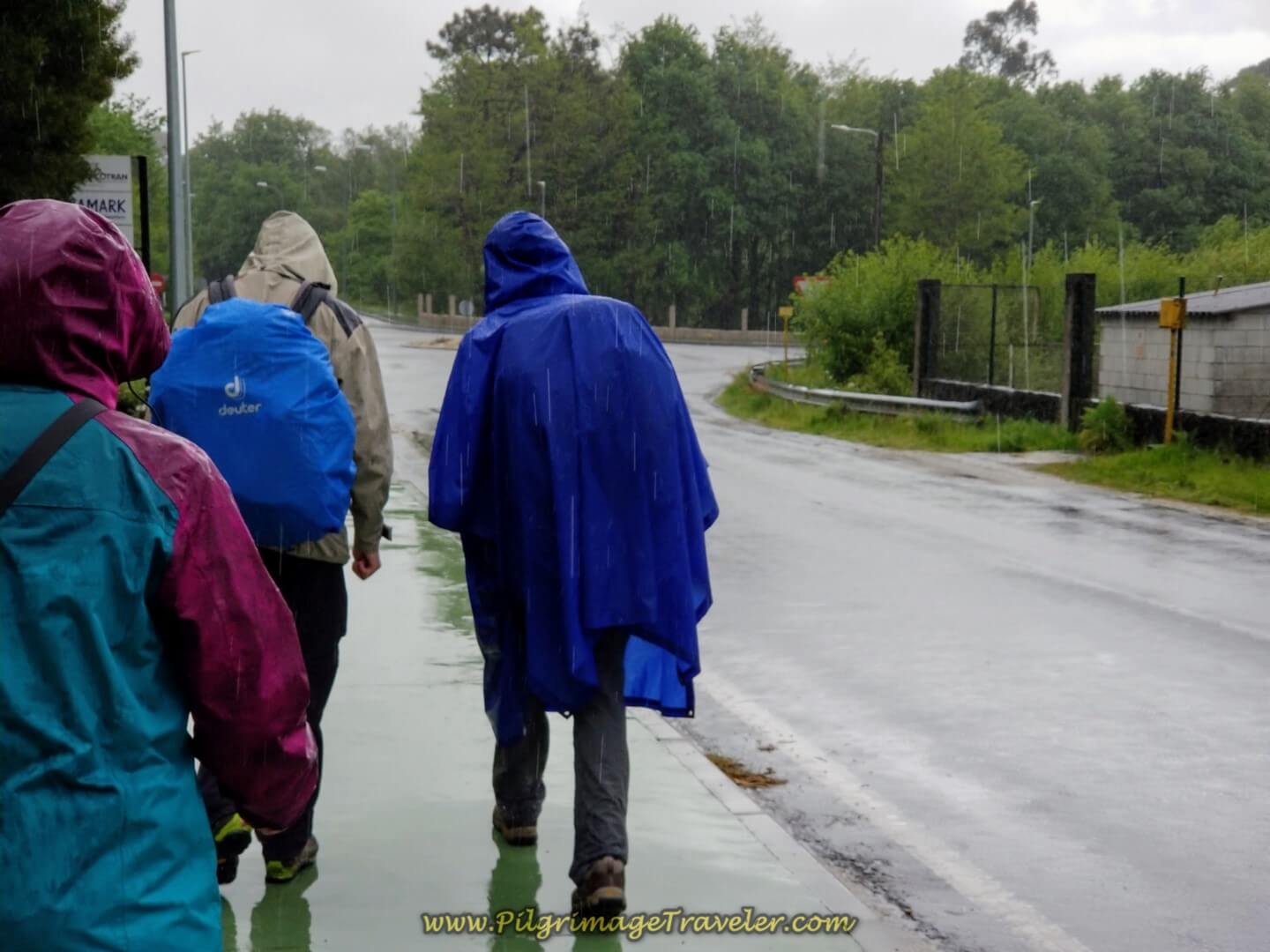 Turn right at the Roundabout
Next, you come to an overpass of the A-55 after about 1/3 kilometer. Walk under this highway and you will immediately see the official route goes straight and across the footbridge.
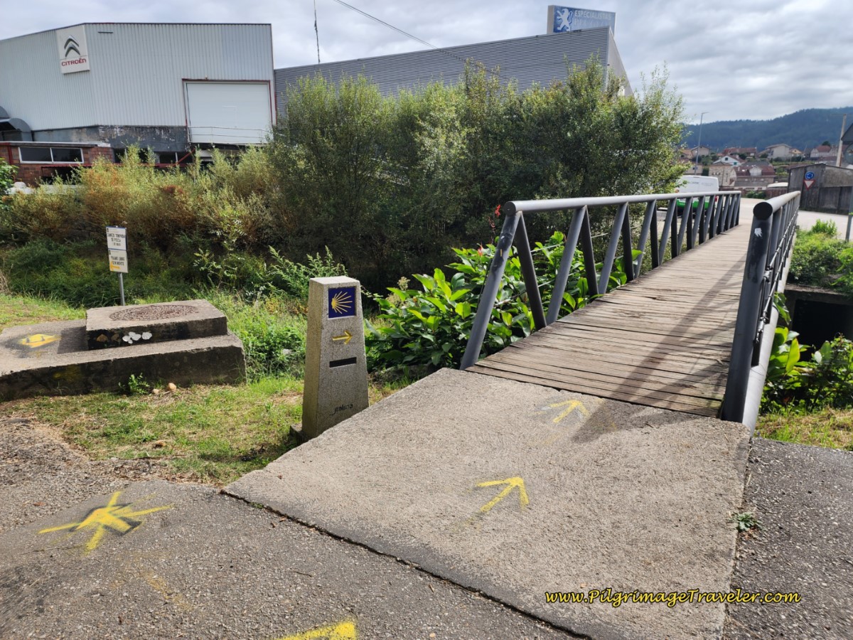 Decision Point at the Footbridge
This is where the Camino Complementario officially ends and crosses over to join the official route, 300 meters later.
To join the official route, cross the Río Louro on the footbridge. At the next roundabout, less than one hundred meters later, take the second left, to climb up and over the railroad tracks, on the same green sidewalk you have been following! Walk down the other side, coming to a T-intersection with the N-550. Turn left onto the official route. (For the remainder of this route's description, scroll down to the photo of the Ermita da Virxe da Guía.)
However, the best route into town, in my opinion, is to take the old way along the Louro River via the Paseo Rio like I have described to follow. There may still be yellow arrows here, directing you to go north, immediately after the overpass to take this lovely river walk. You can see this in the photos below. Just follow the path by all the graffiti.
However, this area, I am afraid, is also a victim of the Camino wars. If you look closely, you can also see how someone came along with black paint to obscure something underneath, and then someone else re-painted the yellow information again, only to have more yellow paint on top of the yellow in an effort to obscure the riverwalk directions once again! What a mess!!
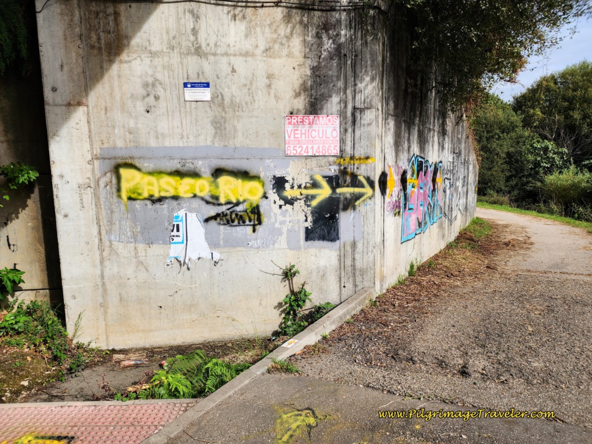 Turn Left Immediately After Overpass for the Paseo Rio
Farther along the concrete bridge, there are even more yellow arrows to assure you that a Camino path does indeed exist here, albeit a controversial one!
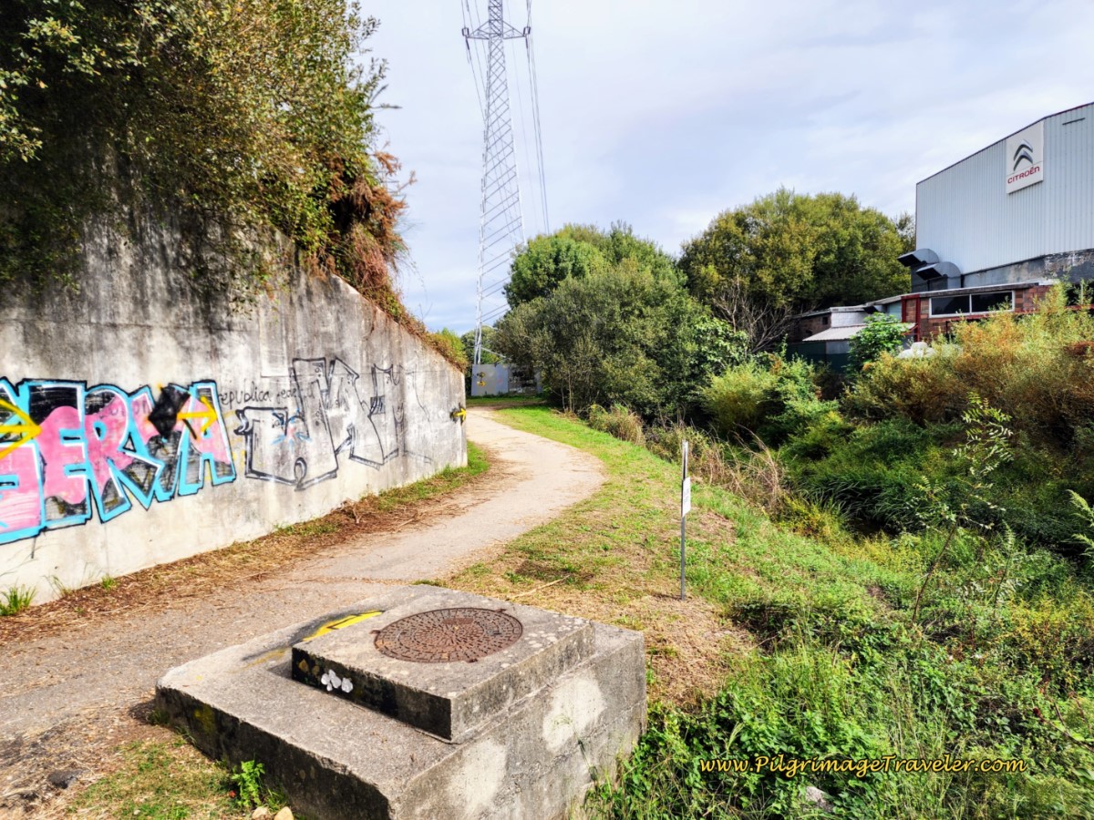 Paseo Rio Ahead
The Camino de Santiago is a very fluid thing, and it is being constantly changed to improve it, by walking the pilgrim through more historic areas, by restaurants and other establishments, or for reasons that are not always straightforward!
Such is the case with the approach into O Porriño. The Paseo Rio is now not even an alternative route into town! I have chosen to keep the final segment in blue on my map, which shows the path along the lovely Louro River, because this is the route that in my humble opinion is the best. It is a wonderful alternative, especially on a hot day!
The riverwalk is only 400 meters longer than the official route, so if you wish to have as few steps as possible, stay straight after walking under the A-55. If you are going to the municipal albergue, the riverwalk is definitely the shorter route, so take this into consideration when you make your decision. You can always see the town after your arrival.
To follow the official routing, please see farther below. I will continue the brief narrative for the riverwalk to the municipal albergue next.
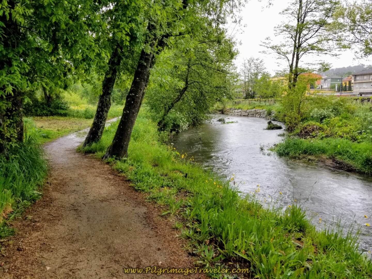
After the left turn immediately after the overpass, turn right again almost immediately, before the electrical tower seen in the photo above, and find the path along a lovely river walk following the Louro River. This river walk is about a full 2.0 kilometers, staying on the left (west) side of the river. On a clear day, it would have been an extremely nice, shady and cool walk.
This is the first footbridge you reach at about one kilometer on the riverwalk. Stay to the left and continue onward.
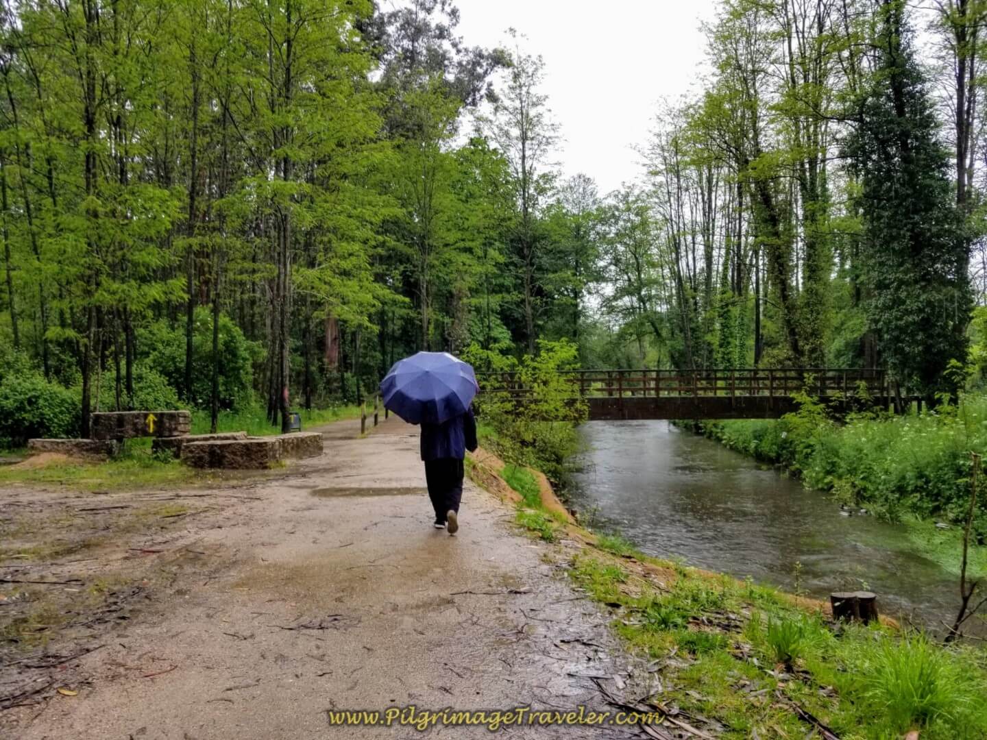 Riverwalk on the Río Louro, Day Twenty on the Central Route, Camino Portugués
Our walk was wet and sloppy. If it is raining, the official route may be be the better choice.
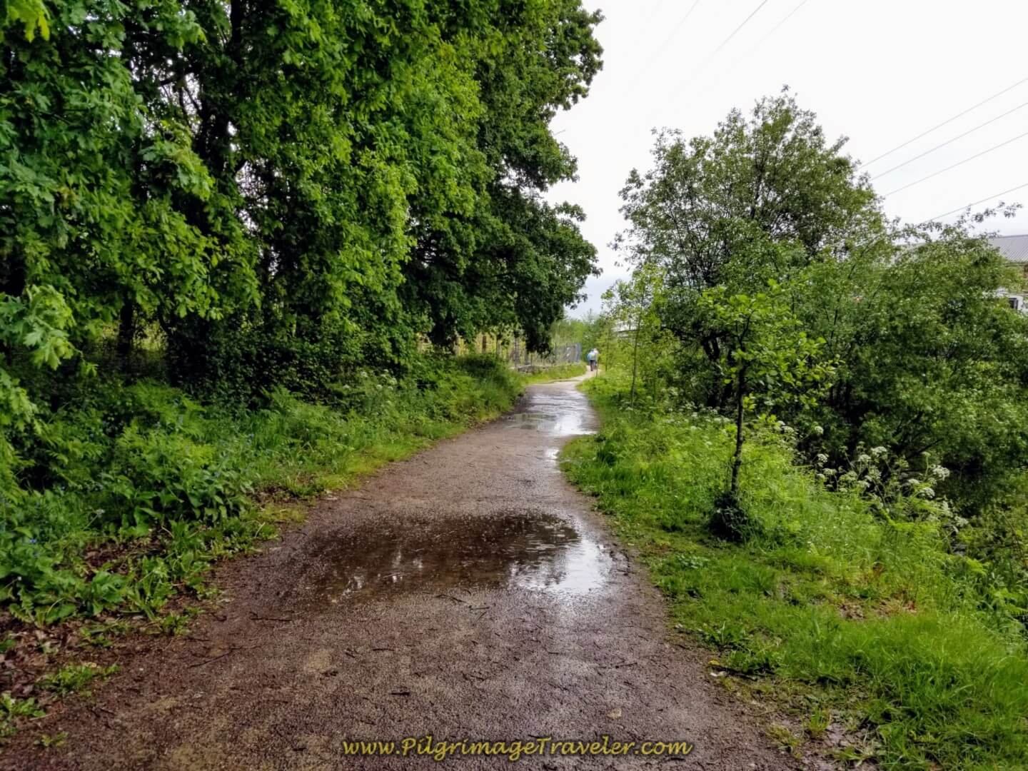 Sloshing Through Puddles on the Riverwalk
In about one-half kilometer more, once again, as you approach a second footbridge (not pictured), you will be bombarded with yellow arrows attempting to get you to cross the footbridge, and return to the official route, instead of continuing on the Paseo Rio to the albergue. You can make a choice here depending on your destination, but the riverwalk continues on the west (left) side of the river for another one-half kilometer.
It may actually be prudent to take the second footbridge and join the official route, if you are not going to the municipal albergue, as the final approach into the heart of O Porriño is actually quite nice and on a pedestrian walkway, as you will see farther below.
After crossing the second footbridge, continue on the path eastward, which will eventually cross under railroad tracks, after about 200 meters. Then a left turn on the other side of the tracks, and either continue straight north until the center of town, or cross over by the Albergue Rincón del Peregrino to see the Parroquia de Santa María da Concepción where you join the official route for the final steps into the center from there. Consult the interactive map above for the route.
Back on the final 1/2 kilometer, the riverwalk ends here at the municipal Albergue de Peregrinos de O Porriño. We walked around the left side of the albergue to the Avenida Buenos Aires.
Turn right onto the Avenida Buenos Aires to head to the center of town. If you go to the left on the Avenida you will see another albergue, the Alojamiento Camino Portugués, another option if you are staying in O Porriño. As you walk down the Avenida, you will see a sign for a right turn towards the Albergue SendaSur a few meters off Camino. Next pass the large supermarket and the Hostal Louro on your left.
We went onward to look for a café for a break. Our plan was to take a long rest and continue onward to Redondela. We stopped at the first place we came to, the Restaurante Paso a Nivel in the center of town, just before the rail tracks. Here we are in the photo below. It was fabulous to finally get out of the rain!
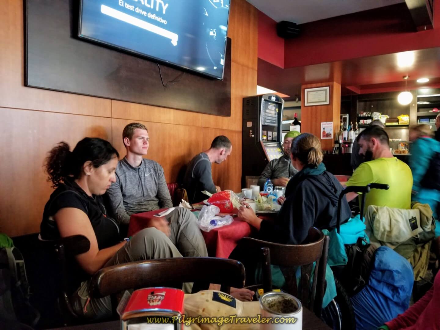 Resting at the Restaurante Paso A Nivel in O Porriño
The economical Pensión Cando is just around this restaurant to the left (north) if you need a break from the albergue grind.
Here is a photo of the center of O Porriño, as the street crosses the railroad tracks.
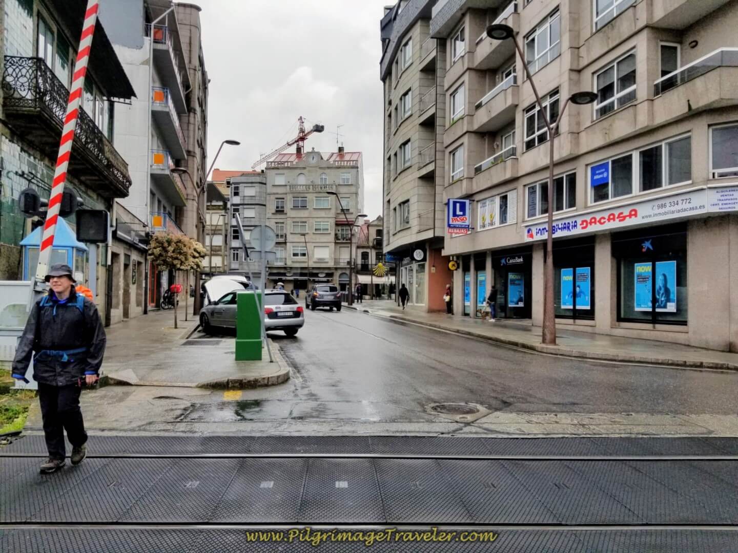 Downtown O Porriño
After the railroad tracks you come to a roundabout where the official route now enters this section of town.
In the roundabout and to your right is the Apartamento Centro Porriño and the private Albergue Camino Santiago Porriño. The Hotel Parque Porriño is just south of the roundabout, in the Plaza del Cristo, right beside the chapel of the same name and a bit farther south, the Casa Lolita. The Hotel Azul is farther along the Camino to the north, but still in town.
If you don’t mind walking a bit more than one-half kilometer east of the center of town, and along the N-120, there is the Casucho Da Peregrina Albergue. For even more options, you can click here to see them.
Reaching this restaurant was a double edged sword. While I was ecstatic to get out of the rain, this would be the final stop with our friend Glyvia.
It was here in O Porriño that we had to say goodbye to Glyvia. Perhaps she was able, but she was definitely unwilling to continue onward to Redondela for the entire 33 kilometers, most especially not in the steady rain! She lives in Spain and she walks sections of the Camino whenever she wants.
It was still hard to put her into a taxi that would take her back to Tui, where she would collect her car, and drive home to the coast. We reluctantly said good-bye, until our next Camino!
Jump to Camino Portugués Stages
The Official Route from the Decision Point in Orbenlle
From the double waymarked decision point, continue on the quiet paved road toward the next town of Os Eidos.
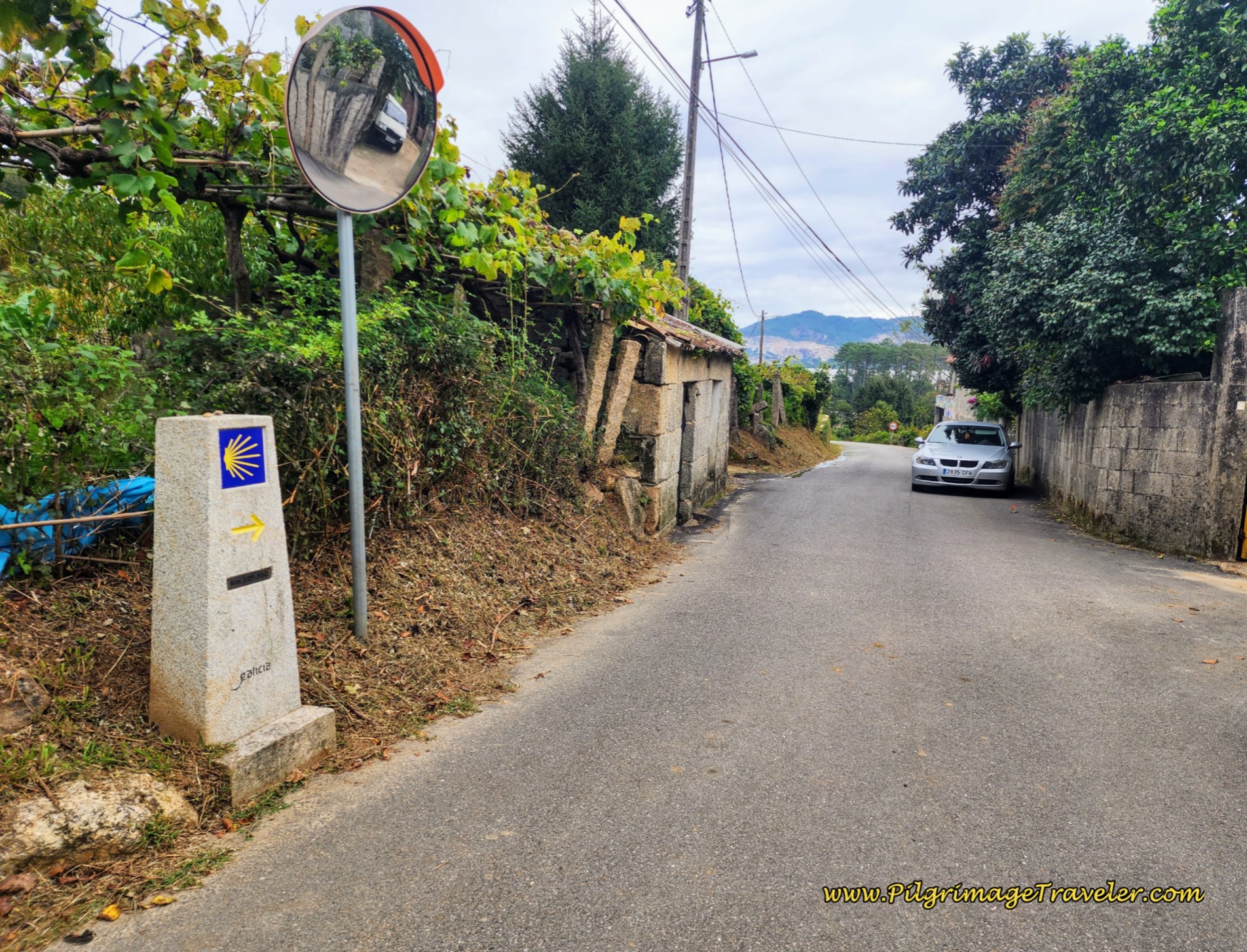 Onward Toward Os Eidos on Quiet Pavement
At the first Y-intersection after ¼ kilometer, stay to the right and a few meters later, turn left at this house, pictured below.
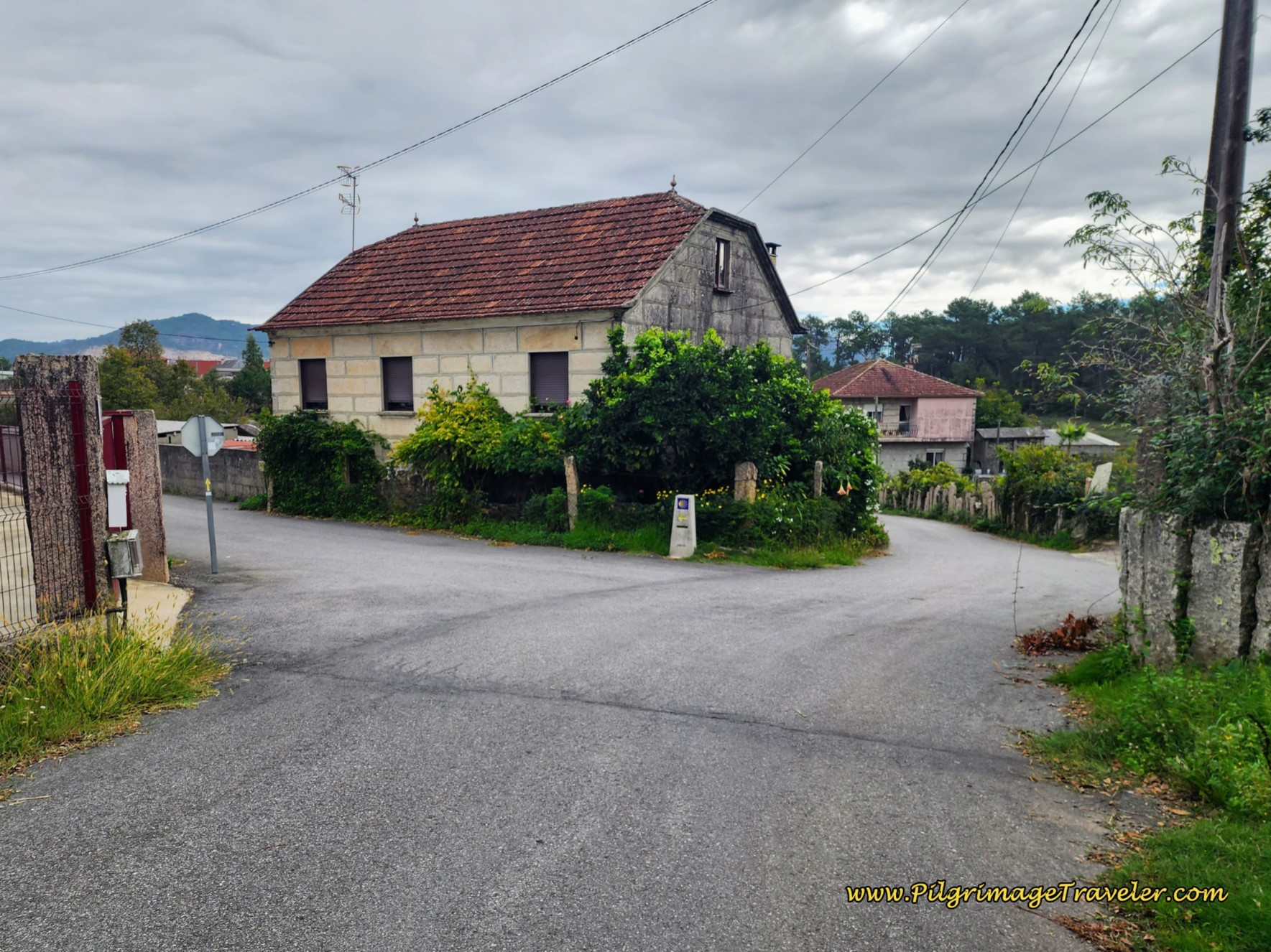 Left Turn in Os Eidos
As you enter Os Eidos, look for the turnoff to the right for the Albergue Casa Alternativo. This inexpensive place will give you a bed in yurts and tents, feed you dinner and breakfast, all with a yoga vibe. Past the turnoff, you arrive in the center of Os Eidos, and pass the Café Chimay and the Bar Laguna, pictured above.
The Camino turns to the right at the Bar Laguna, continuing onward, until the terrain turns markedly industrial. Follow the waymarks as the Camino bends around several times and picks up a green sidewalk, seen in both photos below. So far so good.
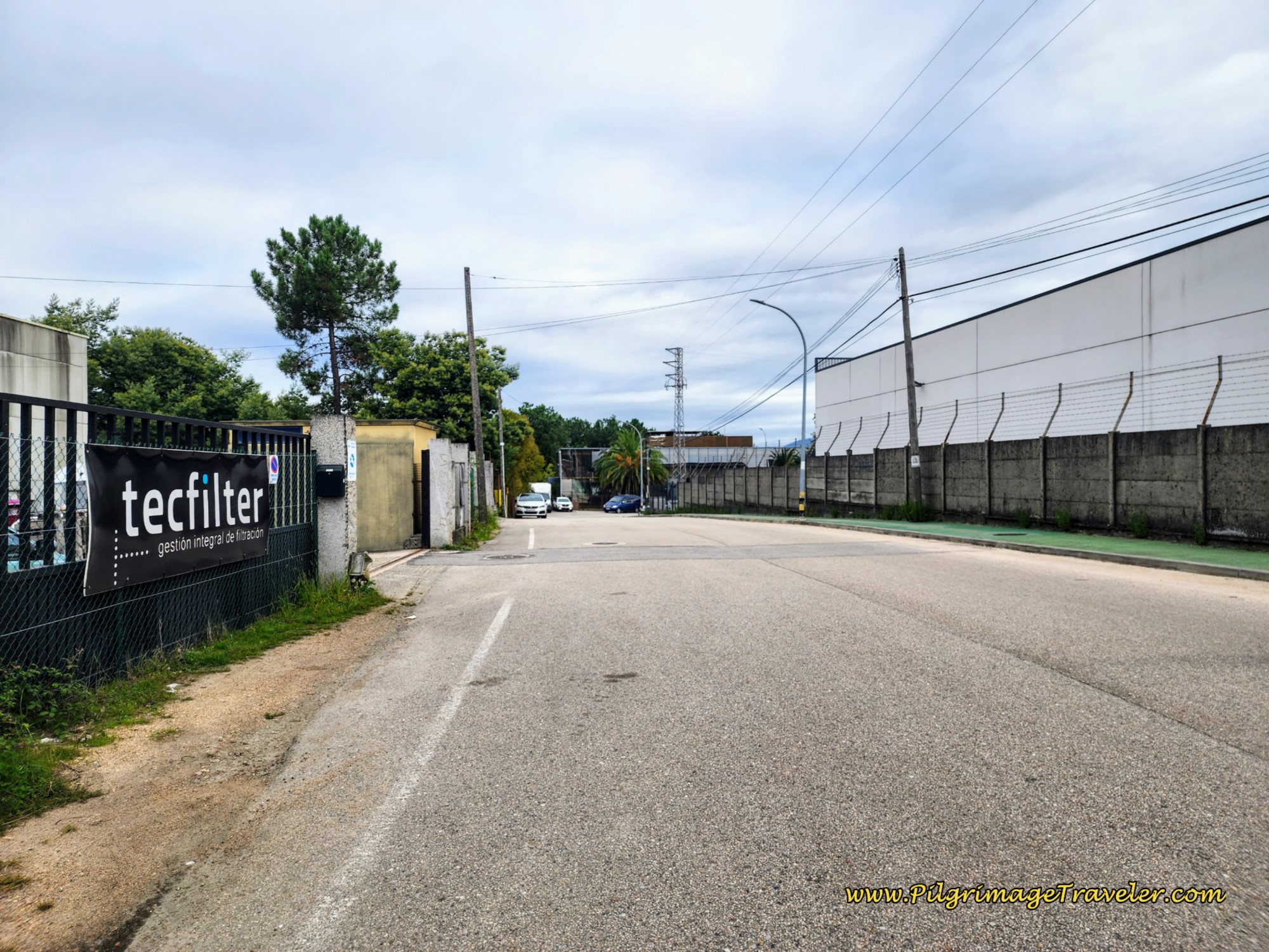 Industrial Area Begins
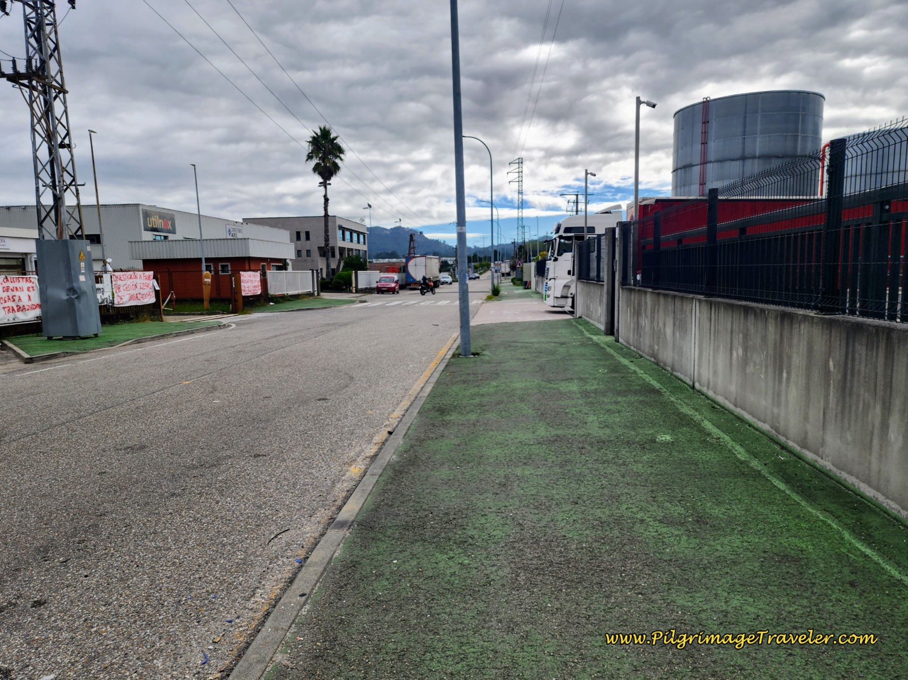 Follow the Green Sidewalk
After the highway makes a 90 degree bend and goes eastward, about 200 meters later, the Camino takes the next left hand turn onto a very long, straight commercial highway, northward through the heart of the industrial zone.
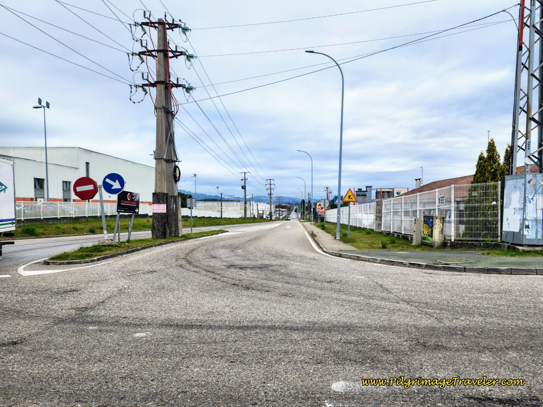 Left Turn into Heart of Industrial Zone
This section is perhaps the worst I have ever walked, on all my Caminos, and when I walked here it was in the 80’s F (30’s C), open and without shade.
It lasted for 2.5 kilometers as well! Ugh. I just put my head down and walked. The 2.5 kilometers felt like it would never end! I would have preferred the cold and rain, I think!
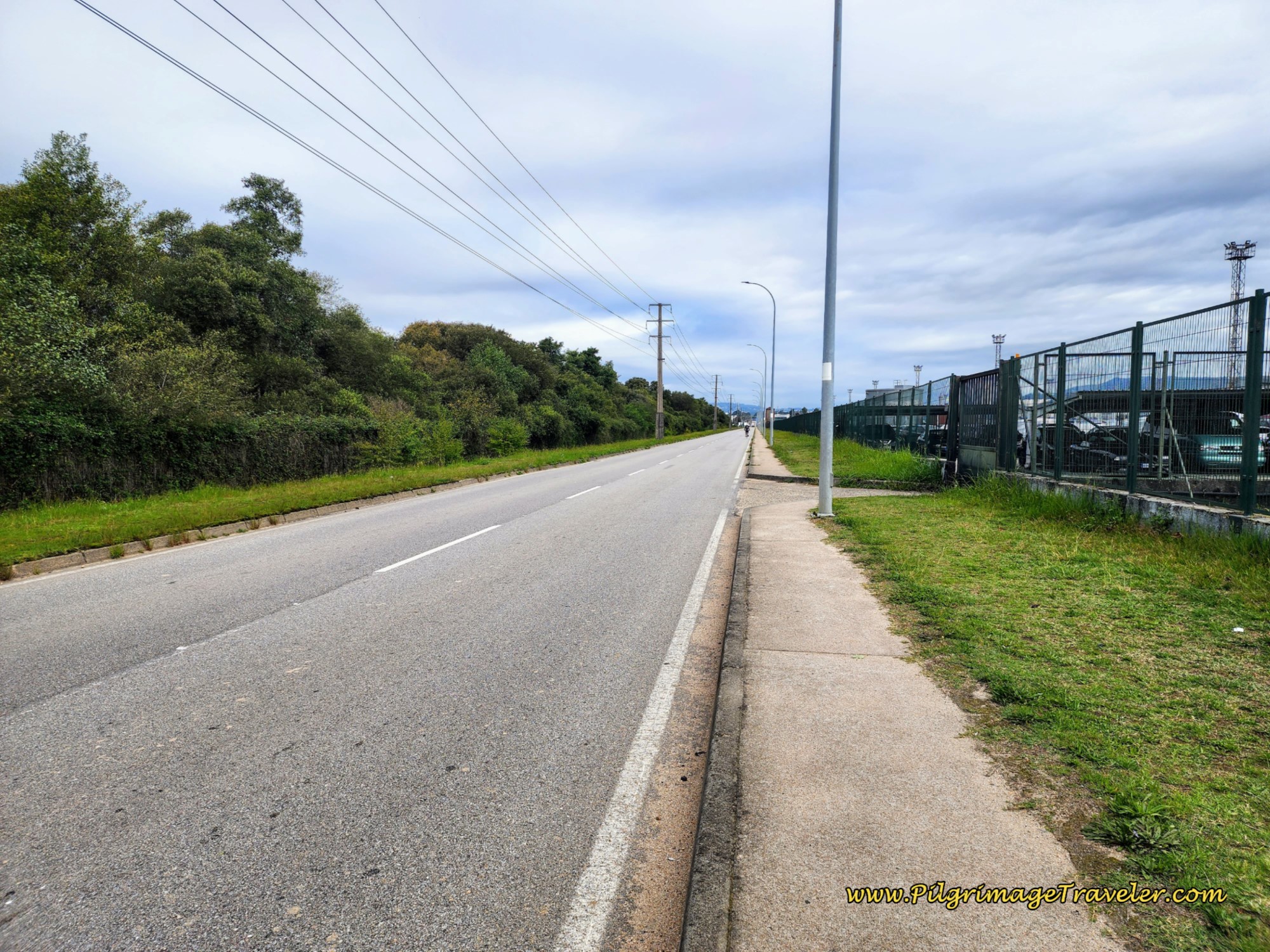 A Bit of Relief in the Industrial Zone
At the end of the straightaway, the road makes a strong bend to the right (east), below, and heads toward the intersection with the A55.
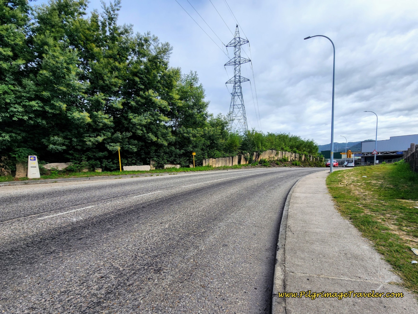 Highway Bends Eastward, Leaving Industrial Zone
Ahead is the pedestrian bridge to cross the A-55.
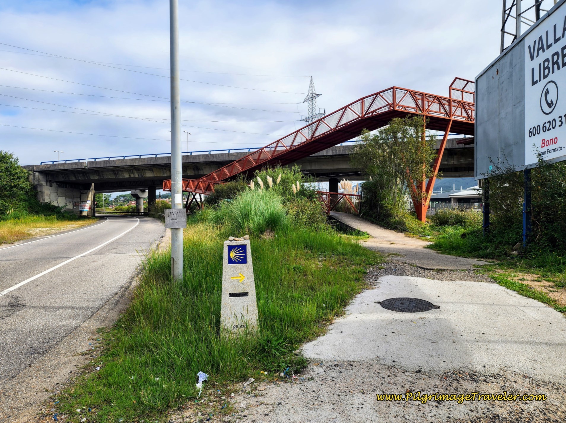 Pedestrian Bridge Over the A-55
After crossing the pedestrian bridge, over both the railroad tracks and the A-55, you will come out onto the N-550. Now we have traded the industrial highway with the very busy pavement of the N-550, below. Not much of an improvement, in my opinion. It was still brutally hot to walk along this highway!
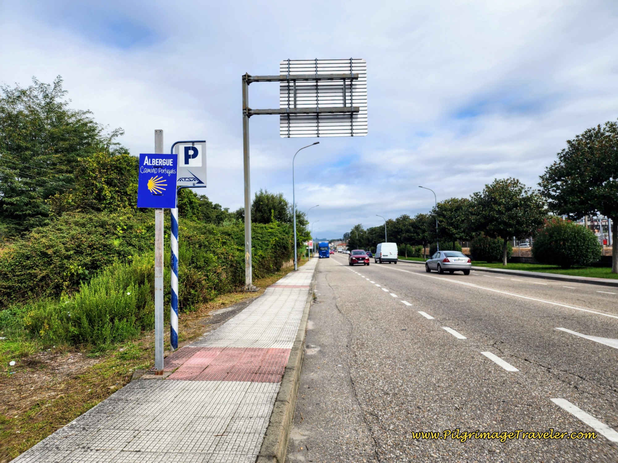 Walking North Along the N-550
Heading north on the N-550, in about one kilometer, you will pass the bridge on your left where the crossover from the Camino Complementario joins the route. Expect to see many more pilgrims now.
And in another 400 meters you will encounter the wonderful little Ermita da Virxe da Guía. There is a nice little park here with benches and a shrine. Oh how I wanted to linger in the shade!
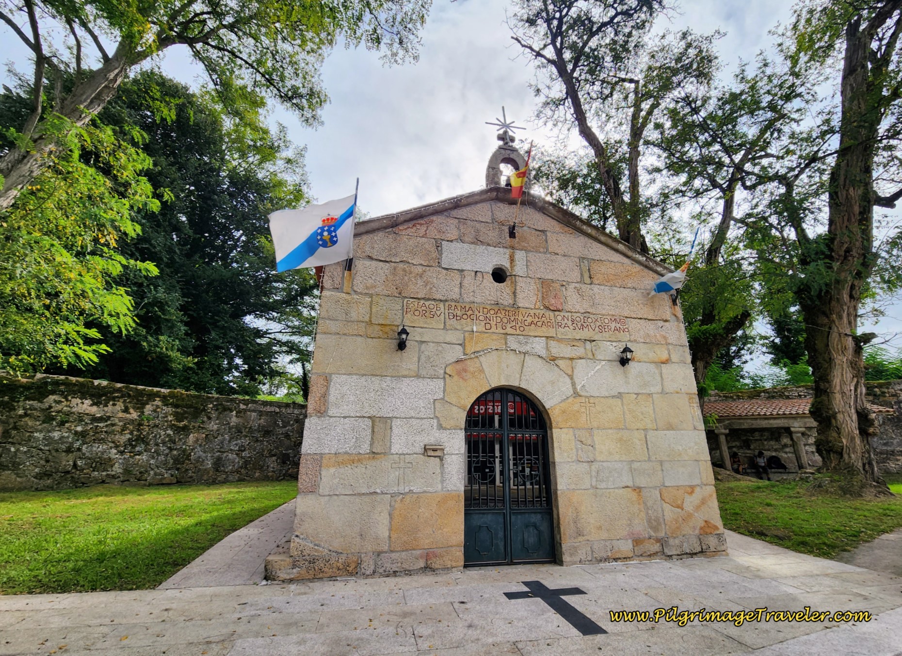 Ermita da Virxe da Guía
You will need to walk another 1/2 kilometer on the N-550, before leaving it to the left and onto the Rúa Manuel Rodríguez. Just before this turn is the Pensión Restaurante Puente (+34 986 34 80 94), about one kilometer away from the center roundabout described above.
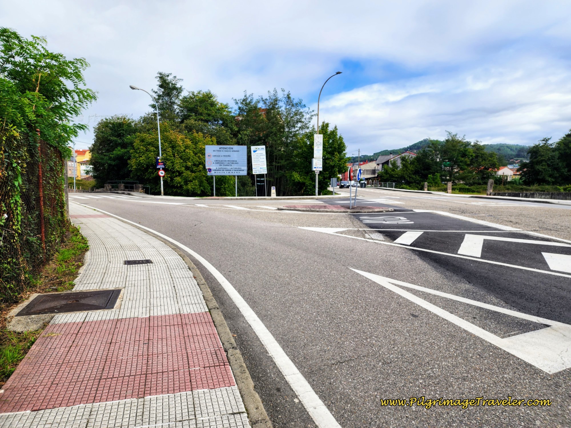 Leave the N-550 Here
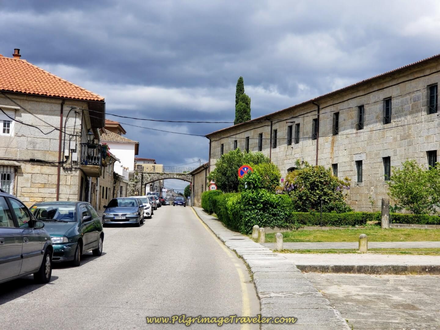
Walk only about 100 meters on the Rúa Manuel Rodríguez and take the first right turn onto the Rúa San Sebastián. The Camino stays to the right at the next Y-intersection, to continue on the Rúa San Sebastián. Pass by the tiny Capela de San Sebastián, below.
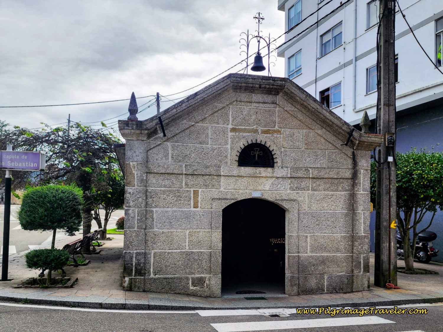 Capela de San Sebastián
The Camino follows the Rúa San Sebastián through the next roundabout, staying to the right...
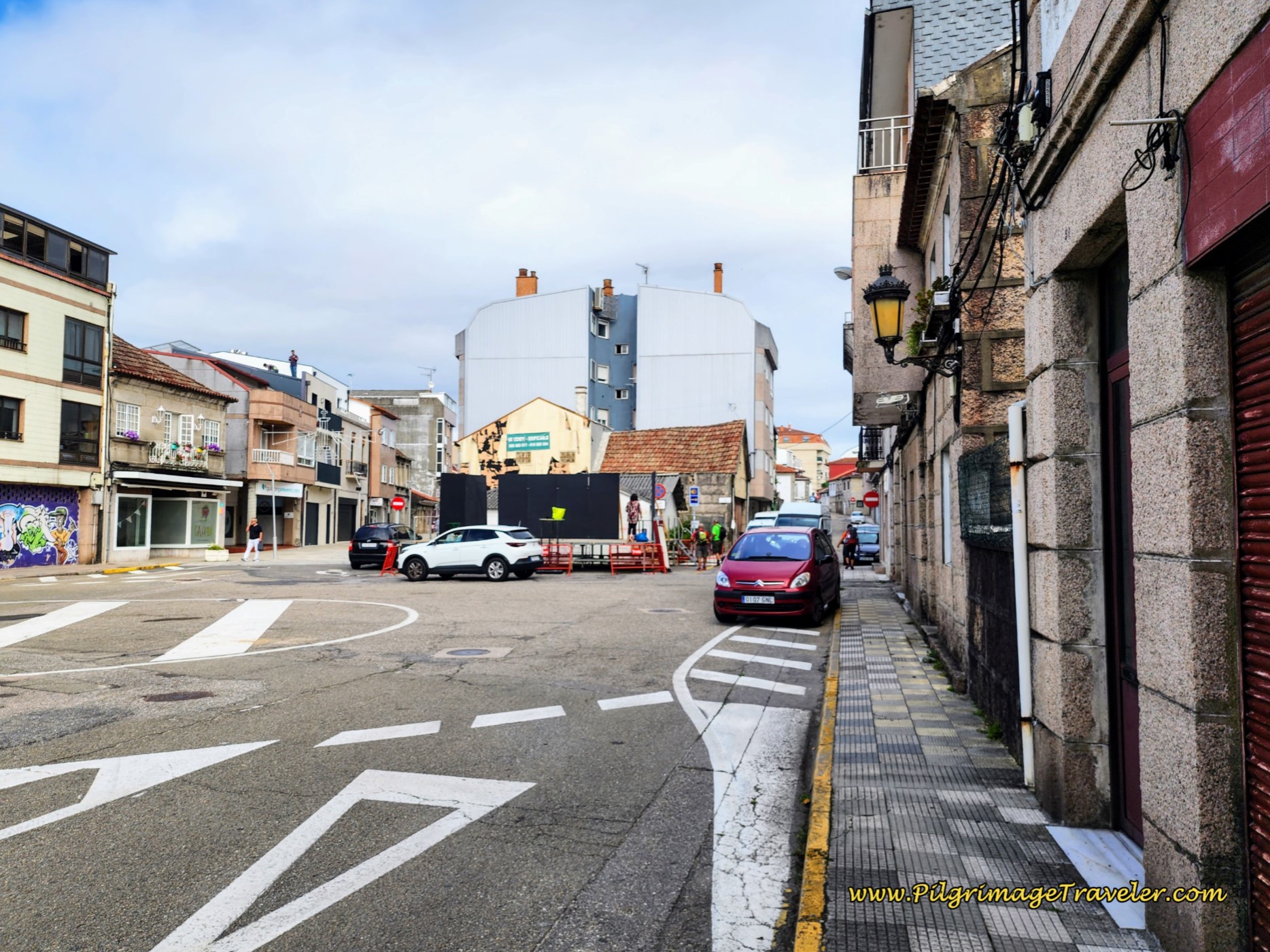 Keep Right at Roundabout
..and along a more quaint brick street, below.
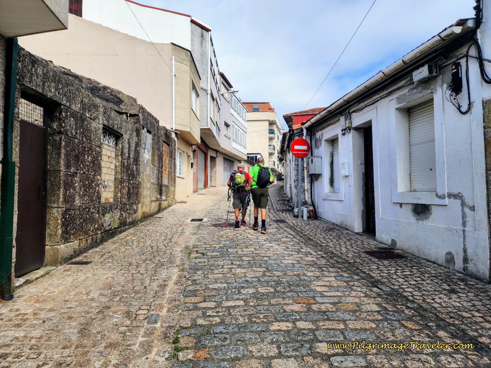 Quaint Rua San Sebastián
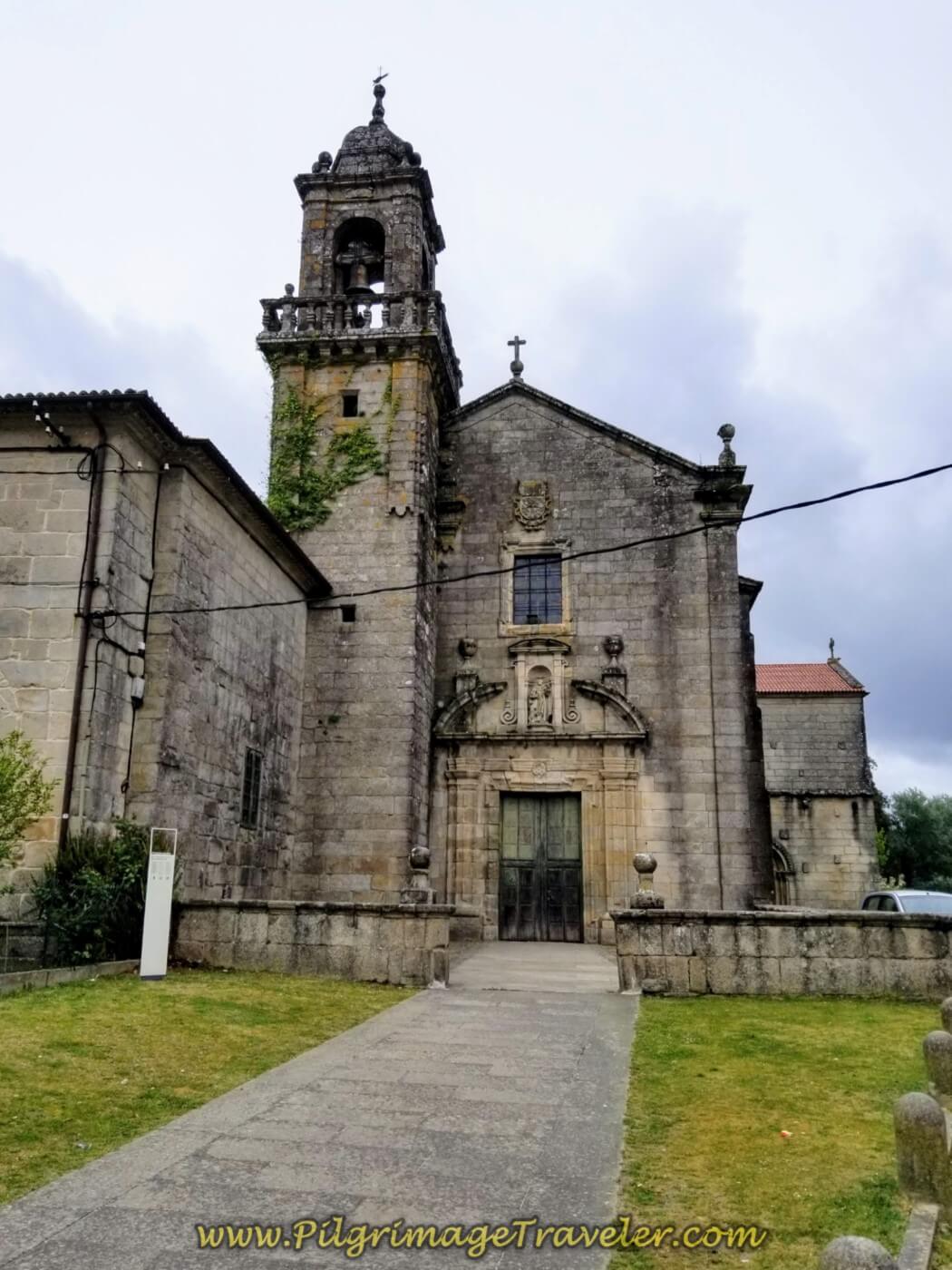
About 1/3 kilometer later, you come to a T-intersection. Take a left turn here and head towards the church you can see ahead. This is the Parroquia de Santa María da Concepción.
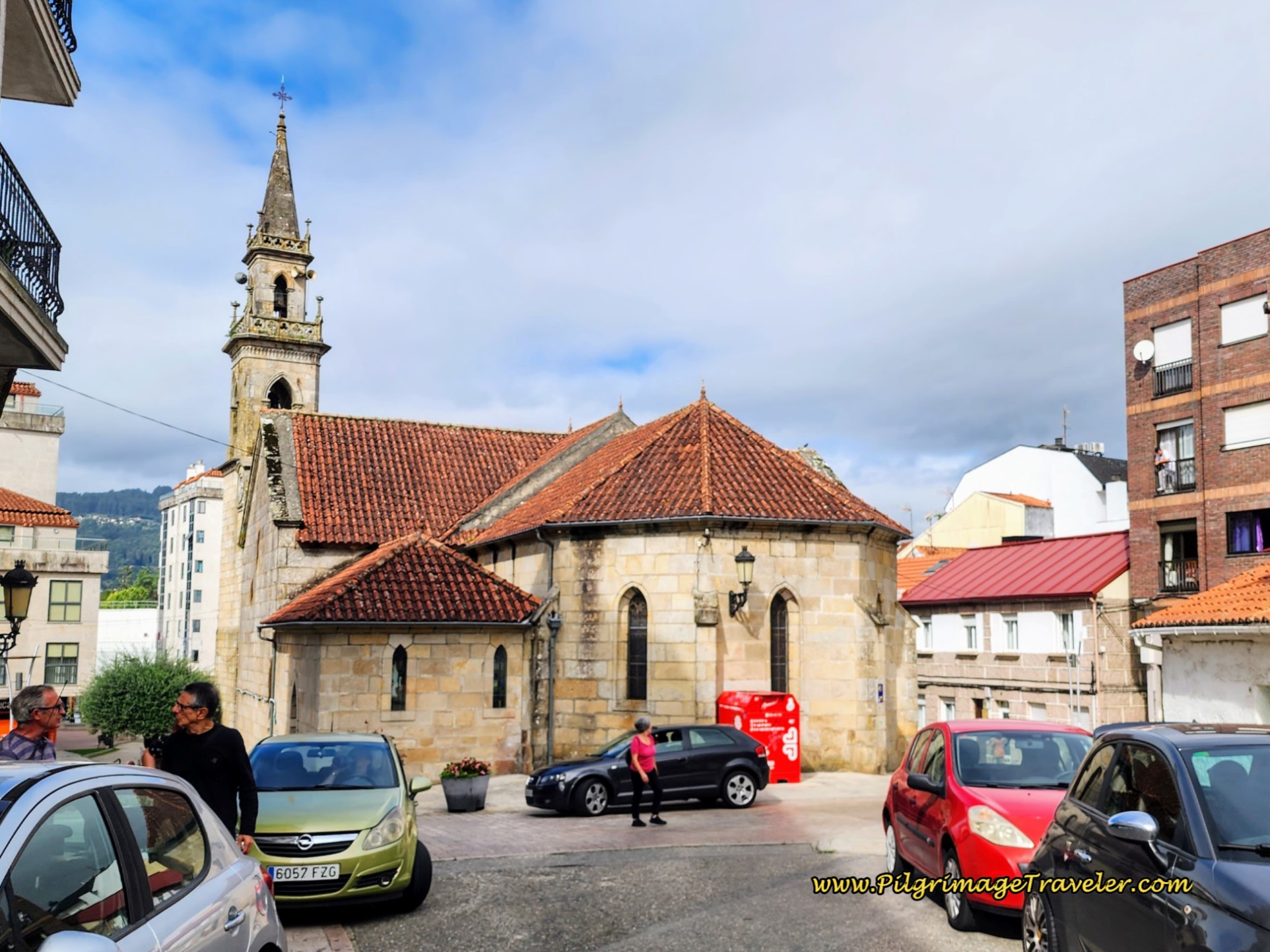 Parroquia de Santa María da Concepción
One block to the south and west of the church is the private albergue Rincón del Peregrino. This accommodation is only about 1/3 kilometer south of the main roundabout in the center of town.
Otherwise, keep to the right of the church and walk through its plaza, to the front side and pick up the Rúa Manuel Rodríguez once again.
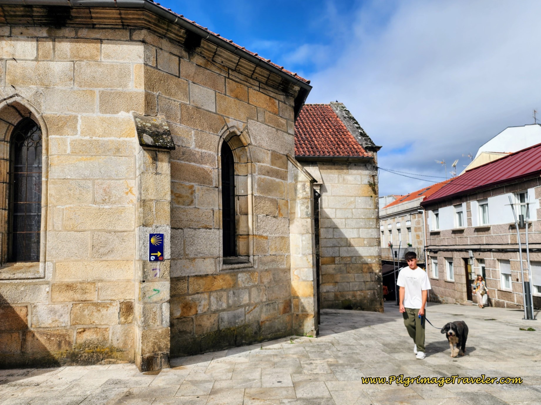 Pass by the Right Side of the Church
The Rúa Manuel Rodríguez eventually becomes a pedestrian shopping street in the next block and changes its name to the Rúa Ramón González, pictured below. All the services that you could possibly want are along this way.
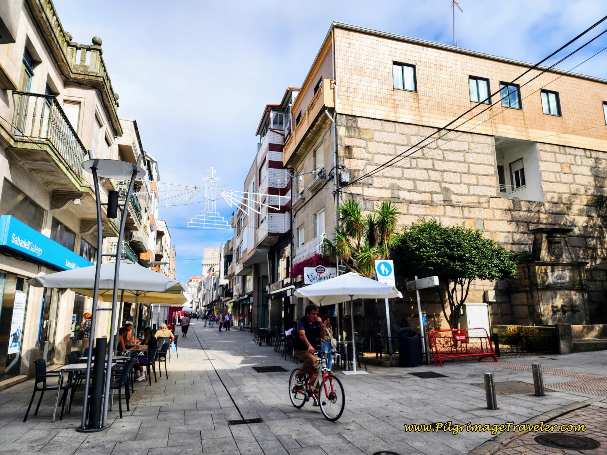 Enter Pedestrian Way
Pass the town hall on your right in a small plaza at the next intersection and walk onward on the Rúa Ramón González.
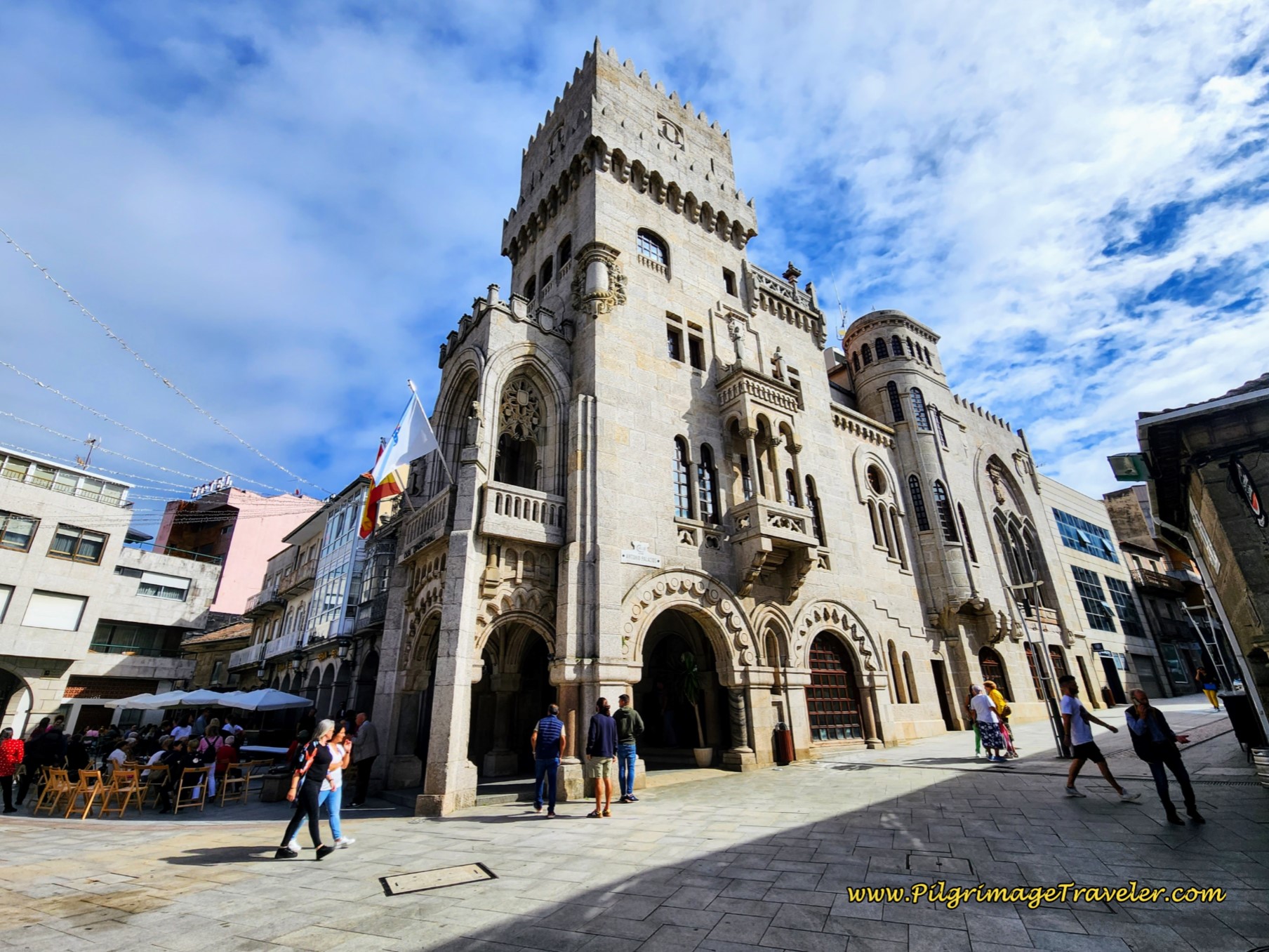 Pass the Casa do Concello de O Porriño
In a few meters you come to a monument with an octagonal base, the Fonte da Cristo (not pictured), right in front of the Parque do Cristo and its Capella. The Hotel Parque Porriño is in this square as previously noted above. The roundabout in the center of town is steps away to the north. And this is where this stage concludes!
 Roundabout in the Center of O Porriño
And now, you know the whole truth and where your choices lie!
Reflections on Day Twenty, Central Route of the Camino Portugués
Rich and I had a long and wonderful 18 kilometer walk with our Camino friend Glyvia, chatting merrily as we slopped through the on-again, off-again rain. I have been so lucky on all of our Caminos, meeting very little rain. I am most grateful for this! Day twenty on the central route was my first in which a steady rain was the norm for the day.
While the rain was tolerable for the trip to O Porriño, if you read on to day twenty-one, you will see that the weather conditions were going to deteriorate.
Team Magdalena was still together, working and walking as a group. Thus far Matt's feet held up and Magdalena was happy, focused and her hands were holding up as well.
And as for the walk on the official route starting in Orbenlle, it was clearly for me, the inferior choice to the Camino Complementario.
What a shame the Camino wars need to continue as evidenced before the Paseo Rio and in other places over the years. It was amazing to me that there were none of the usual signs for the municipal albergue! The powers that be clearly wanted to push pilgrims into the center of town on the new official route, despite its wretchedness. It was almost as if they did not even want any pilgrims to stay at the municipal albergue!
Because of this, the energy of this town was undesirable to me. Each time through, we did not stay here, but walked onward, either to Redondela or Mos. I was not sorry.
Salutation
May your own day twenty on the Camino Portugués, via the central route be filled with growing friendships that will stay with you for the rest of your life. Walk together with your friends, in the dark, lifting each other higher and higher. E ultreia e suseia!
Camino Portugués Overview
Camino Portugués Stages
Central Route: Lisbon to Porto Stages
Central Route: Porto to Santiago Stages
Senda Litoral or the Coastal Routes: Porto to Santiago Stages
Skip to Central Route Above, for Final Days 22-25 to Santiago
Variante Espiritual Stages
Please Consider Showing Your Support
Many readers contact me, Elle, to thank me for all the time and care that I have spent creating this informative website. If you have been truly blessed by my efforts, have not purchased an eBook, yet wish to contribute, I am exeedingly grateful. Thank you!
Search This Website:
🙋♀️ Why Trust Us at the Pilgrimage Traveler?

We’re not a travel agency ~ we’re fellow pilgrims! (See About Us)
We've trekked Pilgrimage Routes Across Europe since 2014!
💬 We’ve:
- Gotten lost so you don’t have to. 😉
- Followed waymarks in the glowing sunlight, the pouring rain and by moonlight. ☀️🌧️🌙
- Slept in albergues, hostels & casa rurals. Ate and drank in cafés along the way. 🛌 😴
- Created comprehensive and downloadable GPS maps and eBook Guides, full of must-have information based on real pilgrimage travels. 🧭 🗺️
- Shared our complete journeys, step by step to help YOU plan your ultimate pilgrimage and walk with your own Heart and Soul. 💙✨
Every detail is from our own experiences. Just fellow pilgrims sharing the Way. We have added a touch of spirituality, heartfelt insights and practical guidance from the road ~ offering a genuine connection to the spirit of pilgrimage. Tap into the wisdom of seasoned pilgrims!
Ultreia and Safe Pilgrimage Travels, Caminante! 💫 💚 🤍
Follow Me on Pinterest:
Find the Pilgrimage Traveler on Facebook:
Like / Share this page on Facebook:
***All Banners, Amazon, Roamless and Booking.com links on this website are affiliate links. As an Amazon associate and a Booking.com associate, the Pilgrimage Traveler website will earn from qualifying purchases when you click on these links, at no cost to you. We sincerely thank you as this is a pilgrim-supported website***
PS: Our eBook Guide books are of our own creation and we appreciate your purchase of those too!!
Shroud Yourself in Mystery, along the Via de Francesco!
Walk in the Footsteps of St. Francis, and Connect Deeply with the Saint and to Nature in the Marvelous Italian Countryside!
Need suggestions on what to pack for your next pilgrimage? Click Here or on the photo below!
Find the Best Hotel Deals Using This Tool!
Carbon Trekking Poles ~ My Favorites!
Carbon fiber construction (not aluminum) in a trekking pole makes them ultra lightweight. We like the Z-Pole style from Black Diamond so we can hide our poles in our pack from potential thieves before getting to our albergue! There are many to choose from! (See more of our gear recommendations! )
Gregory BackPack ~ My Favorite Brand
Do not forget your quick-dry microfiber towel!



















Your Opinion Matters! Comments
Have you had a similar experience, have some advice to give, or have something else you'd like to share? We would love to hear from you! Please leave us a comment in the box below.