- ~ Home
- ~ Camino Sanabrés (The Sanabrés Way)
- Entrepenas to Puebla de Sanabria, Day Five
Jump to Camino Sanabrés Stages
Camino Sanabrés, Entrepeñas to Puebla de Sanabria, Day Five, 18 Kilometers (11.2 Miles)
Our day five on the Camino Sanabrés from Entrepeñas to Puebla de Sanabria was a day filled with anticipation of our arrival in the wonderful and highly touristed town. The day's walk itself was pleasant and delightful as we walked through towns and forests that were beginning to look a lot like Galicia.
🙋♀️ Why Trust Us at the Pilgrimage Traveler?
We’re not a travel agency ~ we’re fellow pilgrims! (See About Us)
We've trekked Pilgrimage Routes Across Europe since 2014!
💬 We’ve:
- Gotten lost so you don’t have to. 😉
- Followed waymarks in the glowing sunlight, the pouring rain and by moonlight. ☀️🌧️🌙
- Slept in albergues, hostels & casa rurals. Ate and drank in cafés along the way. 🛌 😴
- Created comprehensive and downloadable GPS maps and eBook Guides, full of must-have information based on real pilgrimage travels. 🧭 🗺️
- Shared our complete journeys, step by step to help YOU plan your ultimate pilgrimage and walk with your own Heart and Soul. 💙✨
Every detail is from our own experiences. Just fellow pilgrims sharing the Way. We have added a touch of spirituality, heartfelt insights and practical guidance from the road ~ offering a genuine connection to the spirit of pilgrimage. Tap into the wisdom of seasoned pilgrims!
Ultreia and Safe Pilgrimage Travels, Caminante! 💫 💚 🤍
Quote for Day Five on the Camino Sanabrés, Entrepeñas to Puebla de Sanabria
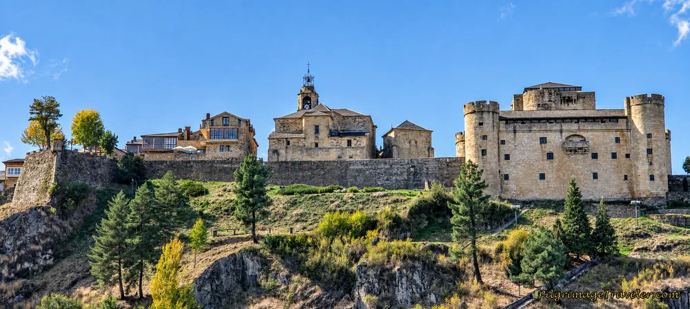
There are no rules of architecture for a castle in the clouds. ~ Gilbert K. Chesterton, English Writer and Philosopher
The notion of a castle is frequently used as a metaphor in English literature, however, the castle in Puebla de Sanabria is not a metaphor, but a most interesting historic medieval site. What a castle represented for us was part history and part magic and mystery.
On day five, our collective heads were certainly in the clouds, full of anticipation of the town that we would explore over the next few days. The castle town held much mystique in addition to the anticipation of a day of well-deserved rest where we could be tourists and malingerers after 10 days on the Way from Salamanca.
I hoped our vision of the castle in the clouds would meet our lofty expectations!
Maps and Stats of Day Five on the Camino Sanabrés, Entrepeñas to Puebla de Sanabria
Here is my interactive map of the day, from my GPS tracks. There are cafés along the way in several of the small towns, but we did not utilize them. This being a shortened day, we all were eager to get to the destination. Our energy was higher than usual and we figured we would be in Puebla de Sanabria by Spanish lunchtime.
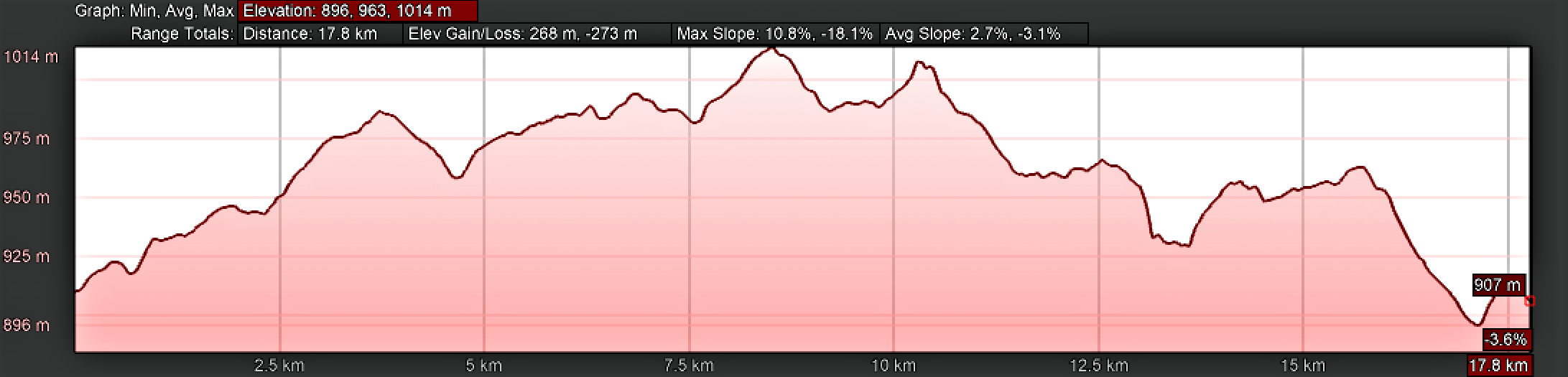
The day consists of more elevation gain than prior days as the terrain shifts to a more mountainous one. As the days were getting cooler, walking was less arduous as a result.
The elevation profile shows a nice long upward-trending climb for the first half of the day, of about 100 meters (328 feet), with several losses of elevation mixed in, followed by a long downward-trending second half of the day, with some climbs mixed in.
There is a nice, final, long downhill jaunt into Puebla de Sanabria.
👣 Camino Sanabrés EBook:
Offline Guide with Bonus Route
~ Includes 4-5 additional days on the Vía de la Plata from Salamanca!
Walk smarter with our ad-free, beautifully formatted Camino Sanabrés eBook Guide, perfect for offline use ~ important in the mountainous and remote areas. Includes daily stage details, stunning photos, historical background and a BONUS digital guide on the Vía de la Plata from Salamanca, called the Camino Fonseca. This allows you the opportunity to add 4-5 more days to your Camino in the beginning.
Don't carry a hard copy guide book to increase your pack weight. Use our frequently updated digital guide on your next Camino instead!
📲 Instant download. 💸 Money-back guarantee. 🔄 Free updates for 1 year.
👉 Click here for more info or BUY NOW!
Jump to Camino Sanabrés Stages
Photo-Rich Travelogue for Day Five on the Camino Sanabrés, Entrepeñas to Puebla de Sanabria
We set out from the center of town at near dawn on our October journey. However, most of the photos to follow were taken after this story, in the daylight at the end of day four!
We had already had our breakfast, of ham, bread, tortilla and tomatoes, left over from the generous dinner provided the night before at the Casa Rural, Las Peñas del Corredor. There is no café in Entrepeñas, but the casa rural did have ample supplies to purchase breakfast if you needed. We did help ourselves to the Nescafe, with a donation.
I started measuring the distance for the day's journey from the center of town at the church, not pictured, where there is also a water fountain. The Camino continues from the church, across from the placard, below, around a bend and up a hill.
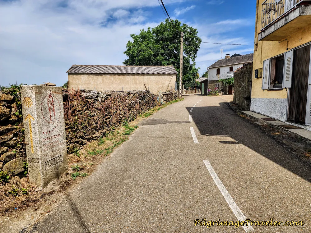 Leaving the Center of Entrepeñas
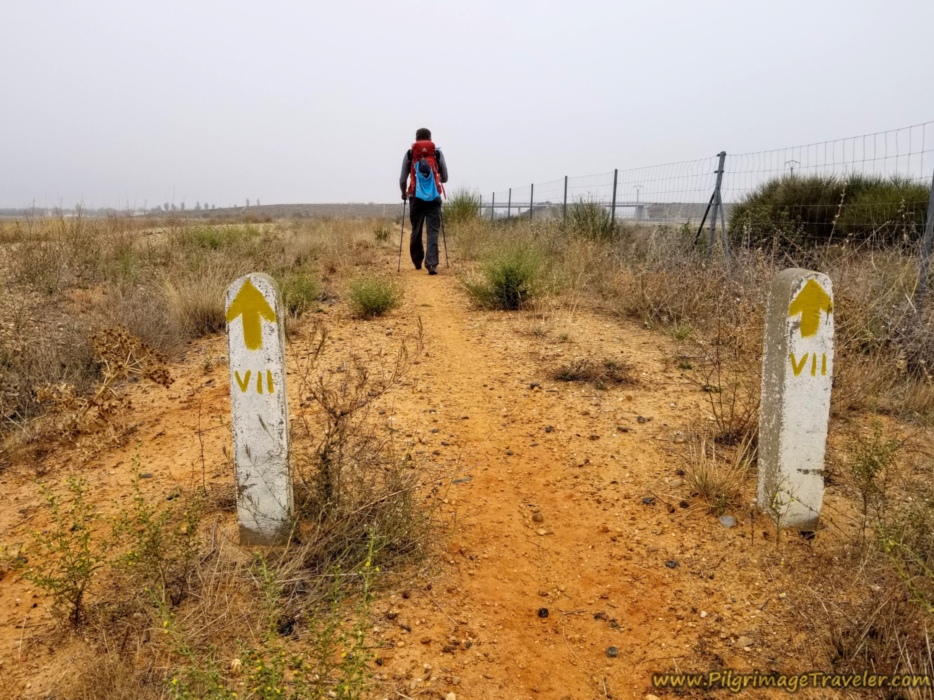
After about 1/3 kilometer you come to a mojón, at this intersection, shown below, directing you onto a lane to the left. You will also see a yellow arrow on the pole.
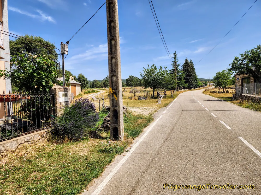 Left Turn at the Edge of Entrepeñas
The Way to Asturianos, all three kilometers worth, is on open country lanes. It is a pleasant walk.
Very shortly, you come to an open area and you see the railroad and its bridge ahead, which you will walk under after about 800 meters into the day.
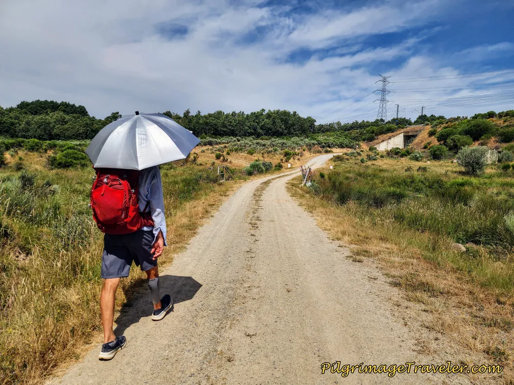 Cross Under Railroad
While my photos don't really show it well, my body knew that it was a climb all the way to Asturianos. The lanes go in and out of the trees, sometimes flat, but mostly a steady uphill climb.
By 1.7 kilometers into the day, you can see an overpass and you cross over the A-52 as we had done several times on day four.
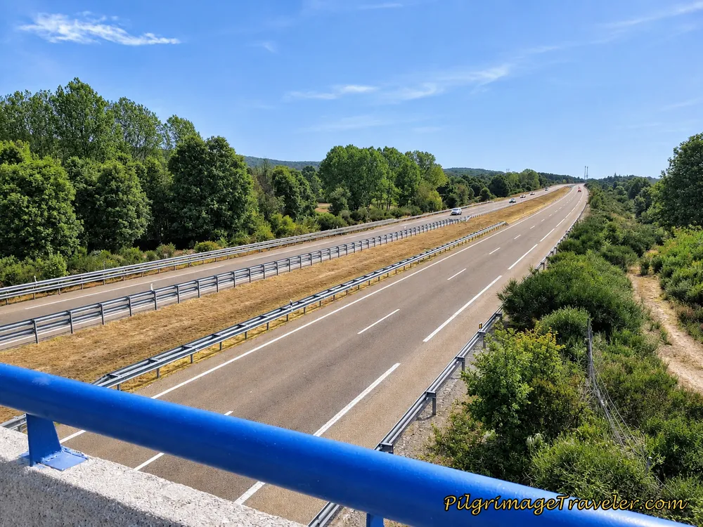 Cross the A-52
Not long after crossing the highway, the lane takes a big bend toward the west, and you can see the church tower of the Iglesia de Nuestra Señora de la Asunción in Asturianos. The church is barely discernible in the photo below, but in reality you can see it quite a ways ahead, before you reach it.
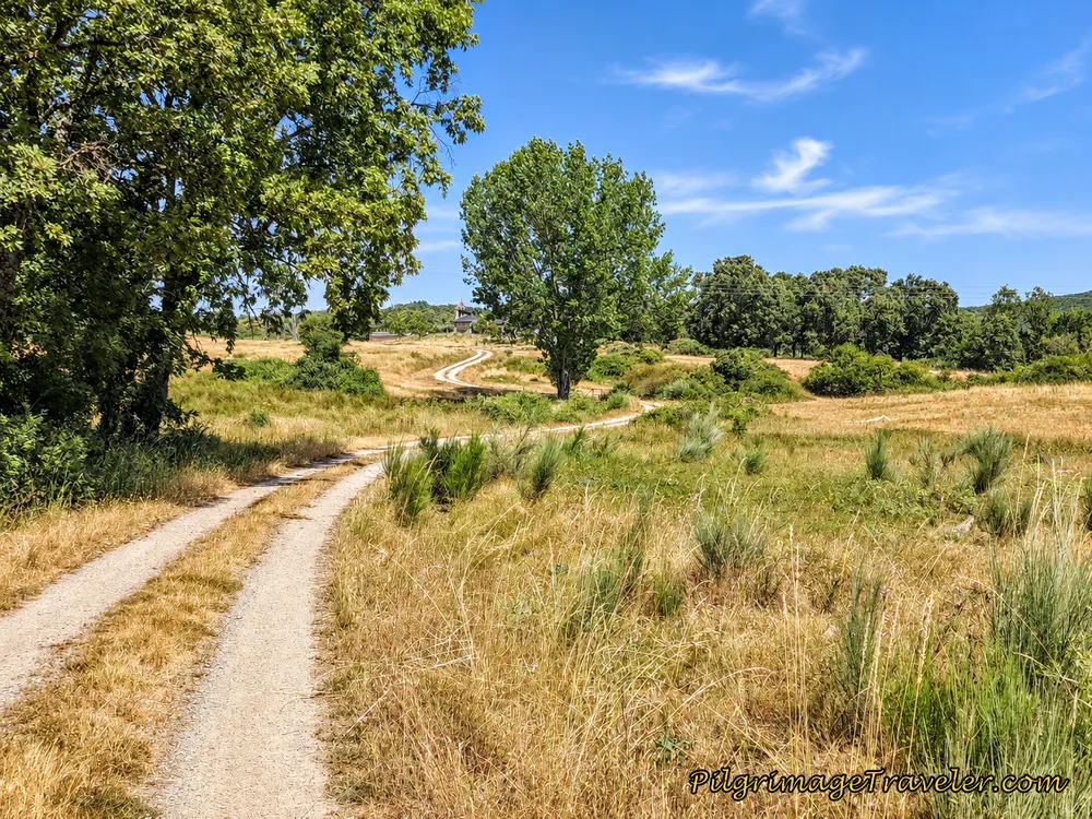 Asturianos Ahead
Head directly for the church, and reach it after 2.7 kilometers.
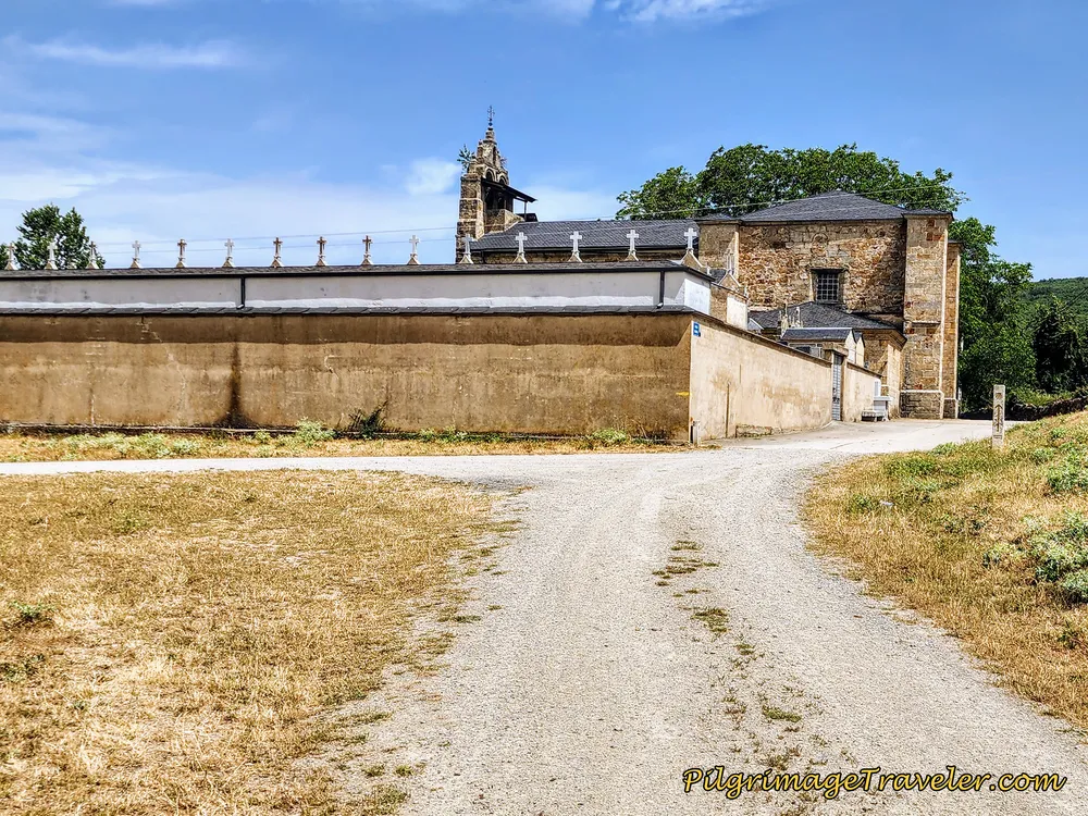 Iglesia de Nuestra Señora de la Asunción
There is a lovely water fountain that you will pass by, at the side of the church.
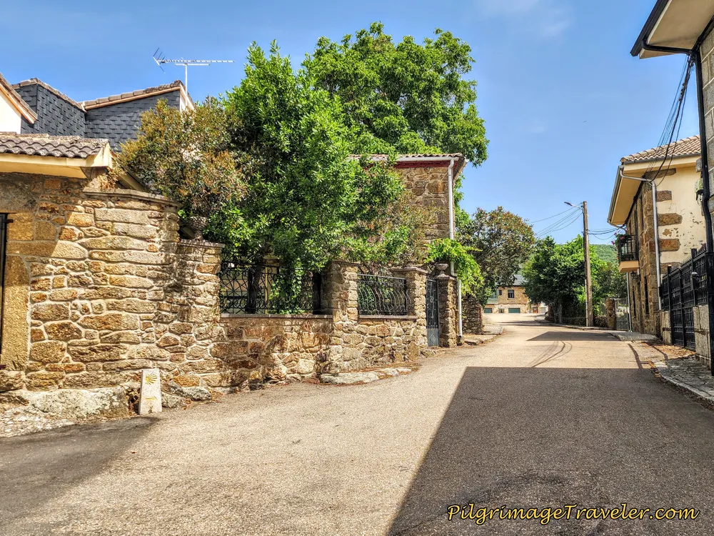 Entering Asturianos
After about kilometer 2.93 come to the crossroads with the N-525 in the center of town, at this lovely little chapel. There is a tienda and a pharmacy just to the left of the church. There is a sign for the Bar Mesón El Carmen to the right, about 150 meters down the road.
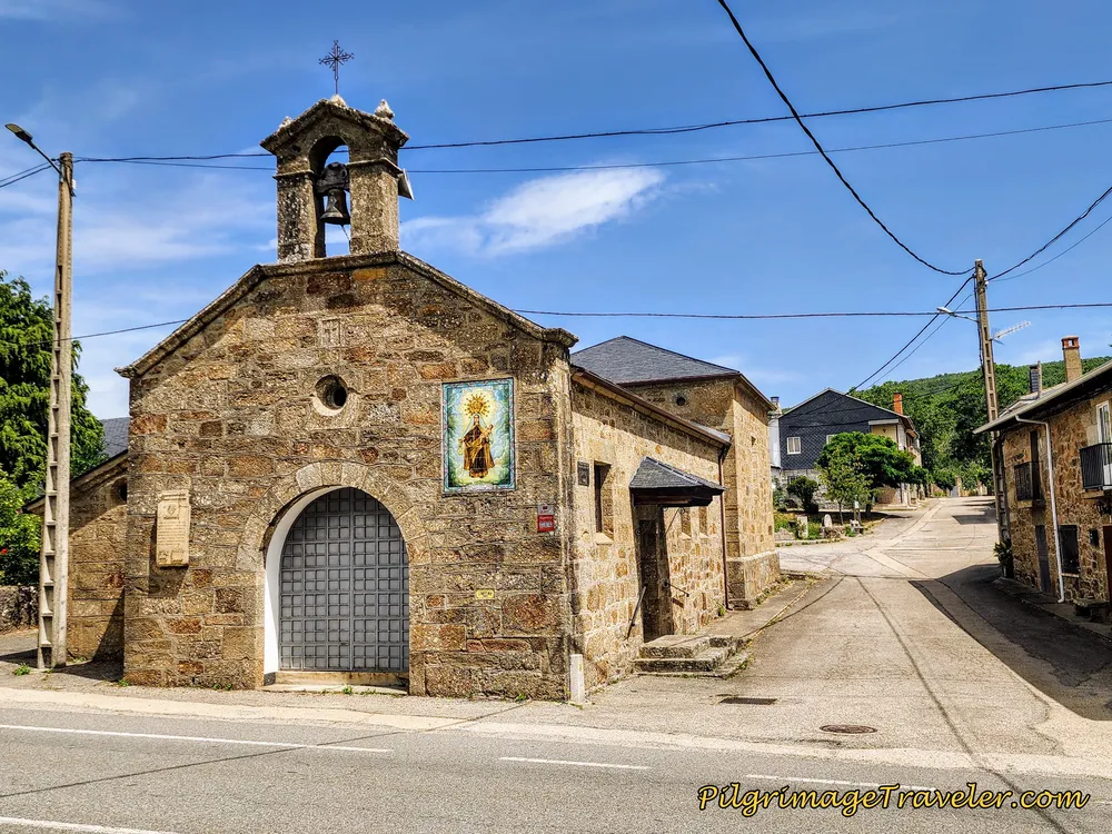
Carry on straight across the N-525 and right after the chapel you see this lovely little pilgrim's rest stop with another water fountain.
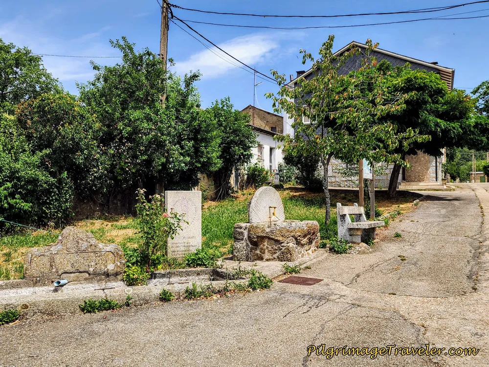 Pilgrim's Rest Stop in Asturianos
Only about 100 meters later you come to a T-intersection where you will see this sign, below. The way to the Albergue de Peregrinos de Asturianos, with 22 beds and no kitchen, is to the right, about another 400 meters and the Camino is to the left.
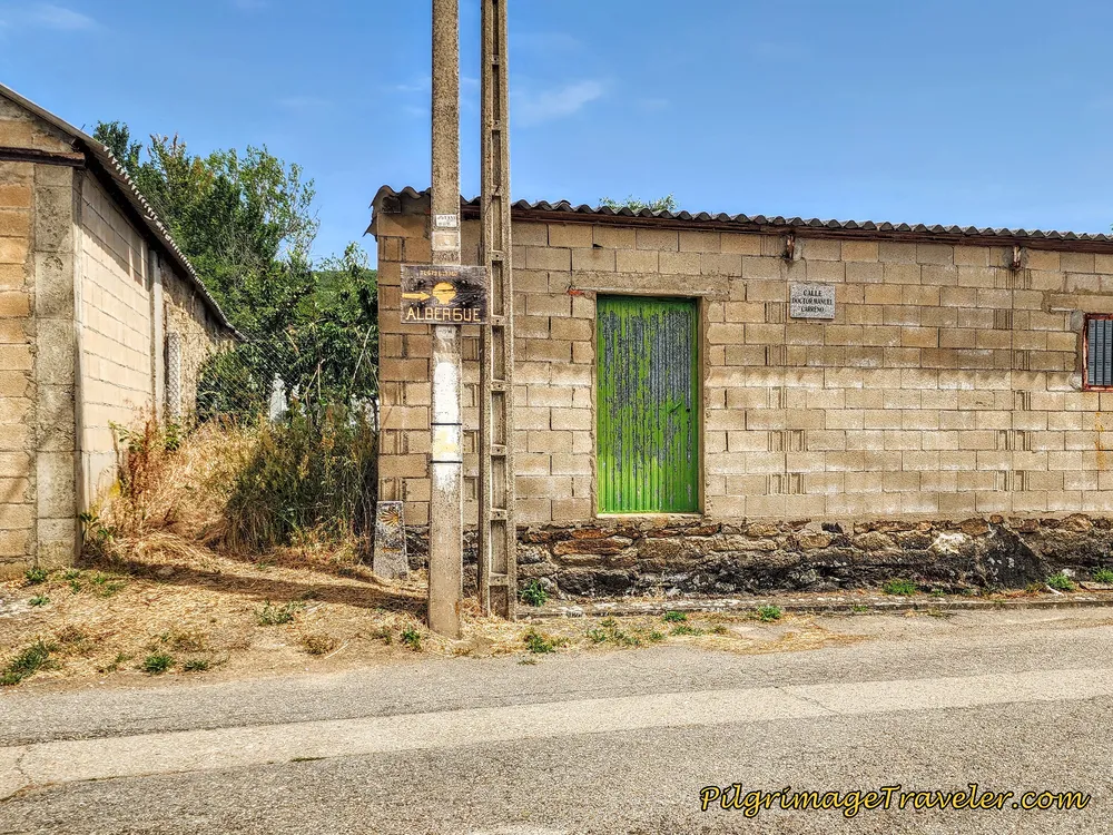 Albergue de Peregrinos de Asturianos to the Right, Camino to the Left
If you turn towards the albergue, walk straight along the narrow street, until you see a huge industrial-looking building. This is the Polideportivo Municipal, or the municipal sports center. Continue towards the sports center, passing it on the left, and the albergue is around the back of this building. You will see a sign for a bar, but it appeared to be closed for a long time!
Pictured here is the entrance to the albergue, through the gray doors.
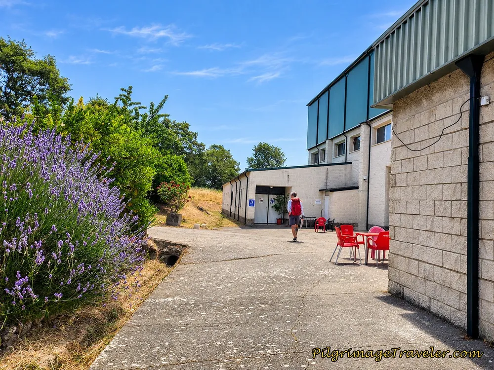 Albergue de Peregrinos de Asturianos
When we stayed at the albergue, the sports bar was closed, the Mesón was closed and the Bar Las Vegas had no food! Because there is nothing to cook with, we again had to suffice eating prepared, pre-packaged food, for all three meals. There is, at least a microwave for heating this food.
Fortunately, the albergue itself is a very nice place, and they even provide you with real sheets! My best tip at the albergue, is to use the newer restrooms near the entrance, for hot water at the sinks. This is where you will need to wash your clothes as well!
Walking onward from the albergue turn-off, by kilometer 3.45 we were already out of town.
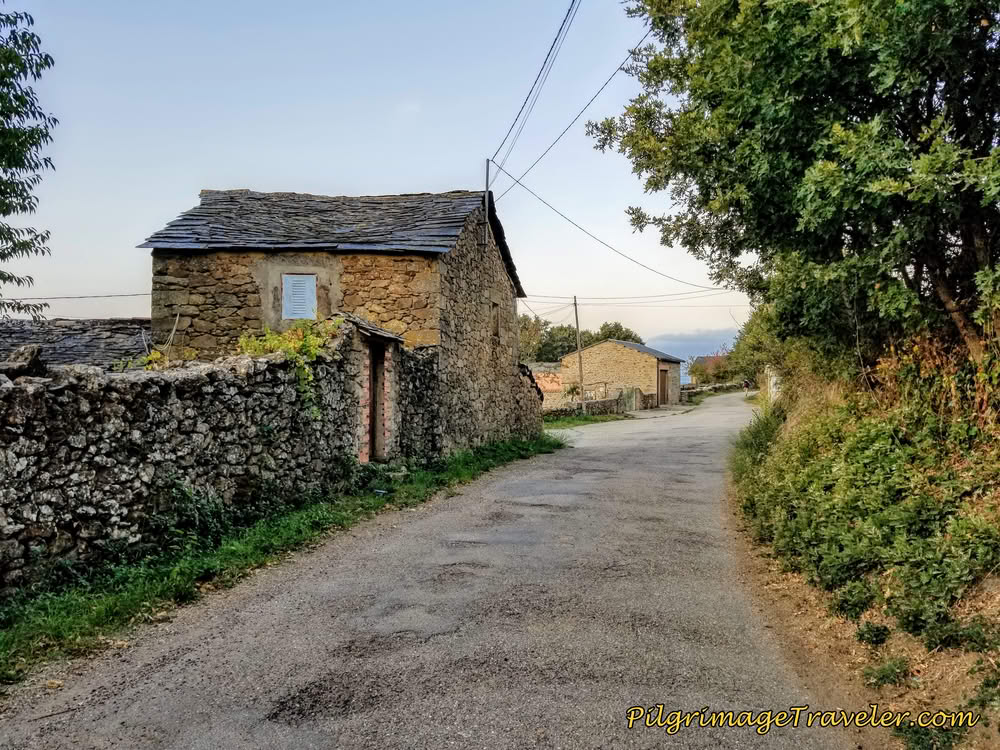 Leaving the Quaint Town of Asturianos
Jump to Camino Sanabrés Stages
Next, we joined the N-525 highway, fortunately for only about another 200 meters, where you take a turn to the right onto a secondary paved road.
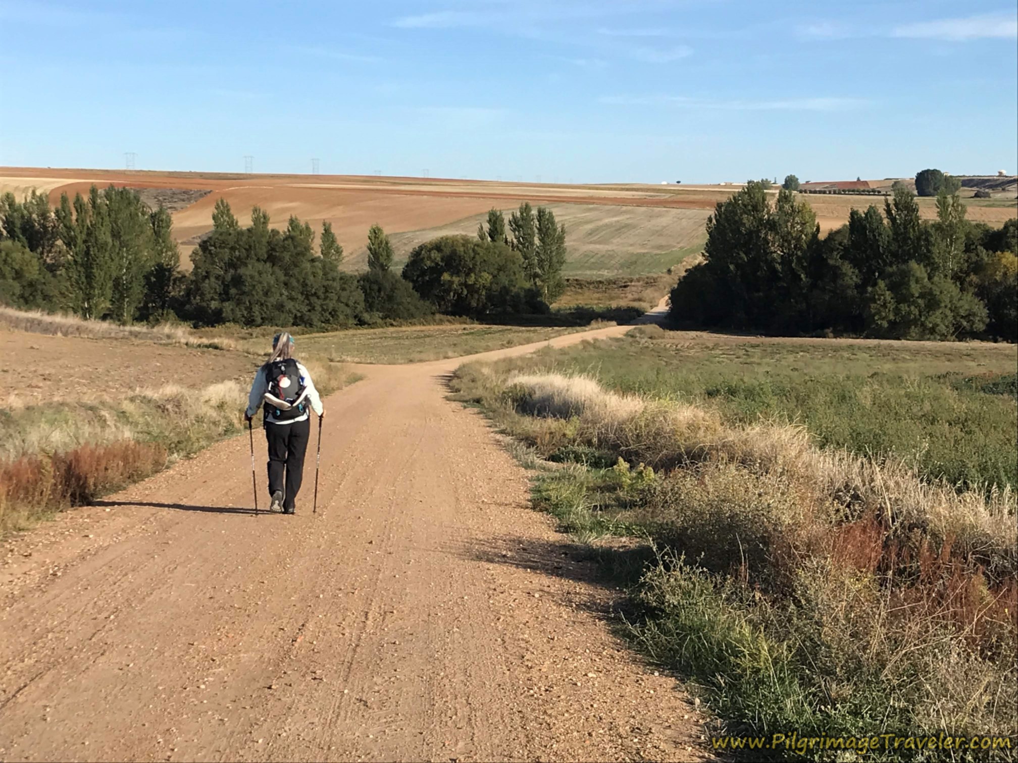
By kilometer 3.91, you veer off the pavement and onto this lane, shown below. We were beginning to see a lot more mountains ahead, and for me at least, much prettier terrain. After the turn, there is a nice downhill section as you can see.
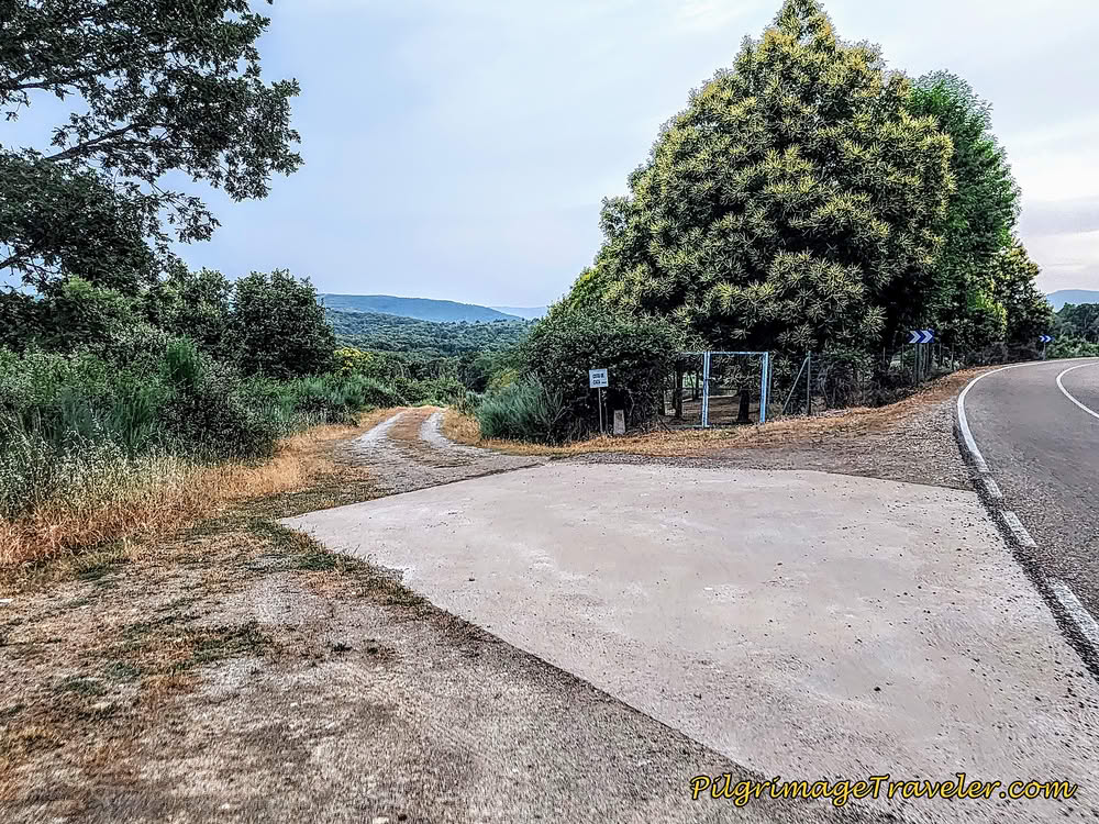 Veer Left Off Pavement Onto Lane
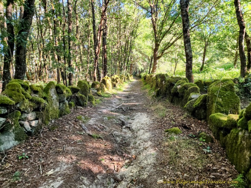
You get to enjoy these beautiful pathways for about 2.2 kilometers before arriving into the next town of Palacios de Sanabria.
Sometimes there are walls along the path through this section. And you can see that the path during the summer was also very overgrown at times!
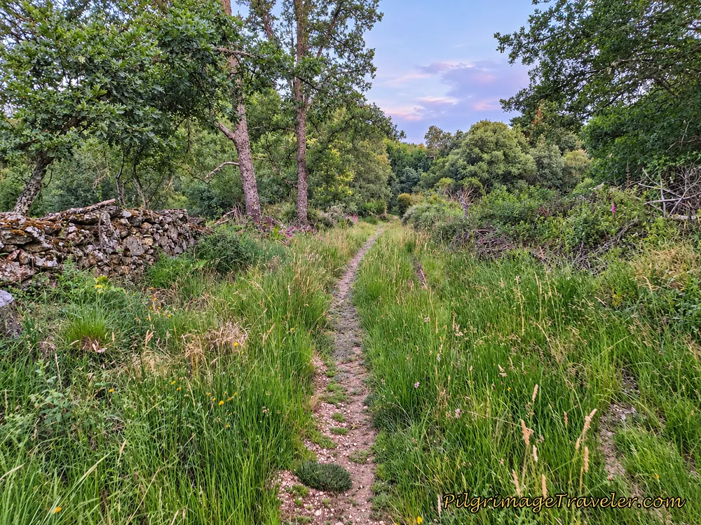 Starting to Look Like Galicia!
When we encountered path improvements I knew it could mean only one thing - we were now entering a wetter climate.
There were stepping stones, which are usually placed over marshy ground. I didn't realize at the time that we were about to cross an arroyo, hence the low point of the drainage.
After the arroyo, the Camino takes a steady uphill climb once again.
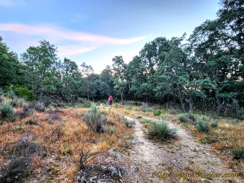 Uphill Climb From Arroyo
After about kilometer 6.0, you reach this joining of trackways, at the outskirts of Palacios de Sanabria.
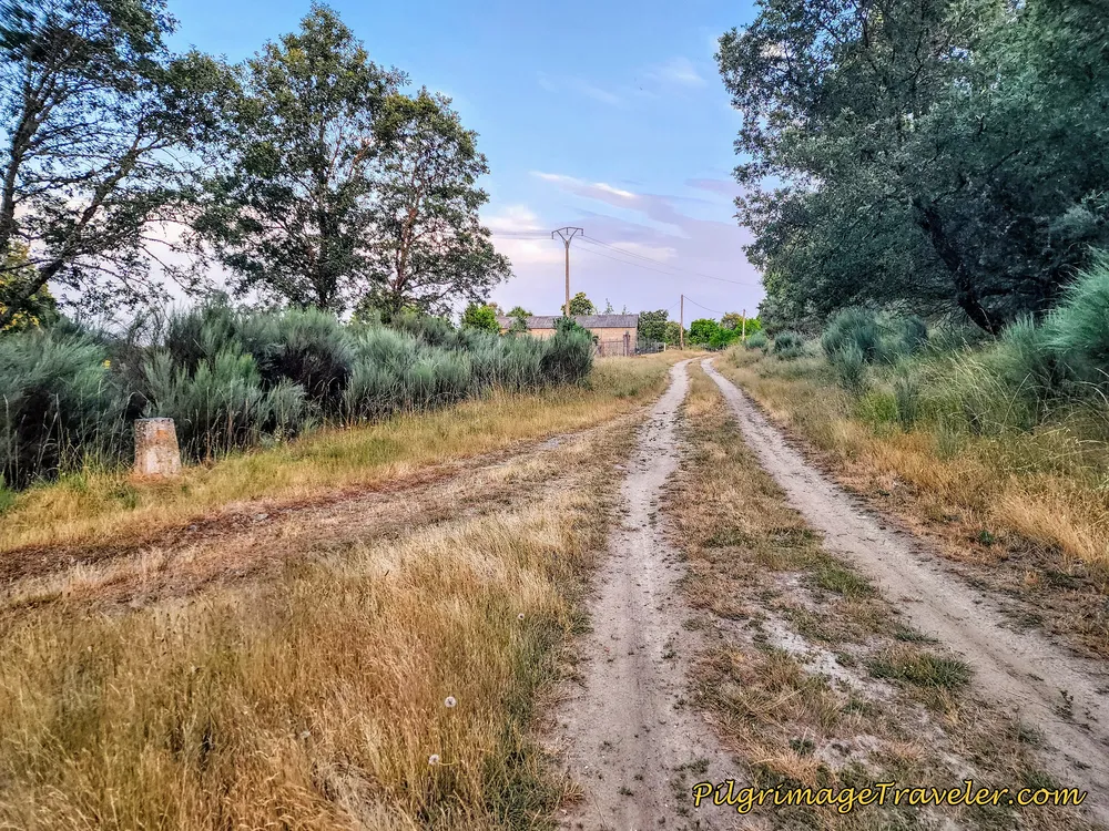 Arriving Into Palacios de Sanabria
100 meters later, you cross the pavement, and this road will shortly lead you into the center of town. After the crossing, the Way becomes a concrete road.
This town is so small that the only thing I photographed was the hermitage, shown below, the Ermita de La Encarnación.
There is a café just down the street a few meters off-Camino to the left (south) and along the N-525. There are also accommodations called El Castaño Alojamientos Rurales.
You arrive at the hermitage after kilometer 6.3 and head for the mojón up the hill to the right. Or you can just stay on the pavement and round the hermitage to the left instead. By going up the hill you get a chance to properly view the front of the building.
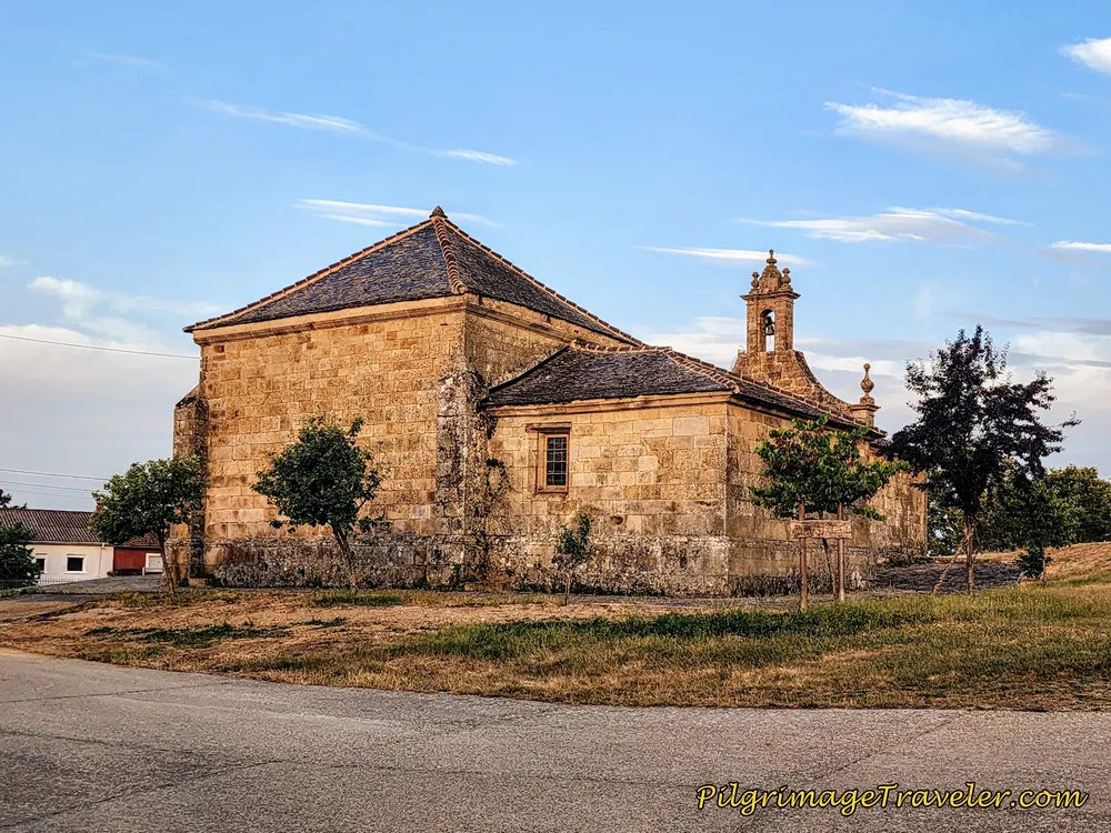 Ermita de La Encarnación
After walking around the hermitage, you walk down the terraced side of the church and make a right turn, to cross a paved road. Your goal is to find an almost hidden lane, just in front of the big, newer yellow square building in the center of the photo below. The lane, that is asphalt by the building, turns to dirt and veers off to the left. We had trouble finding the waymark here.
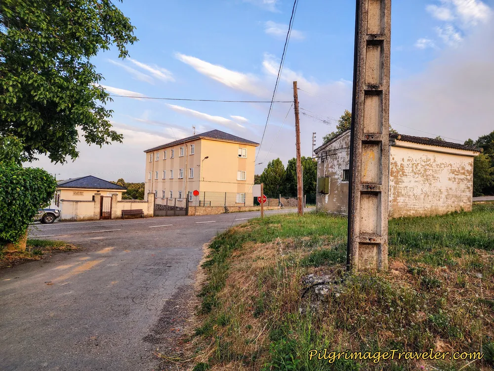 Cross Pavement to Lane Ahead
It is another nice 2.3 kilometers on these lanes until the next town of Remesal.
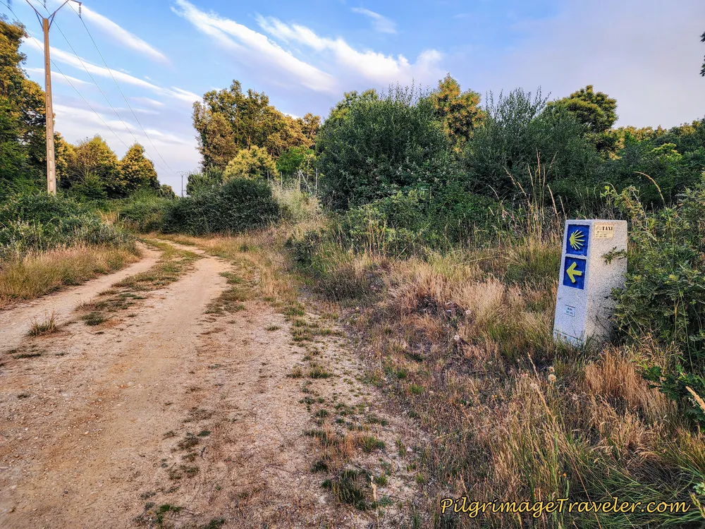 Back on Country Lanes to the Next Town of Remesal
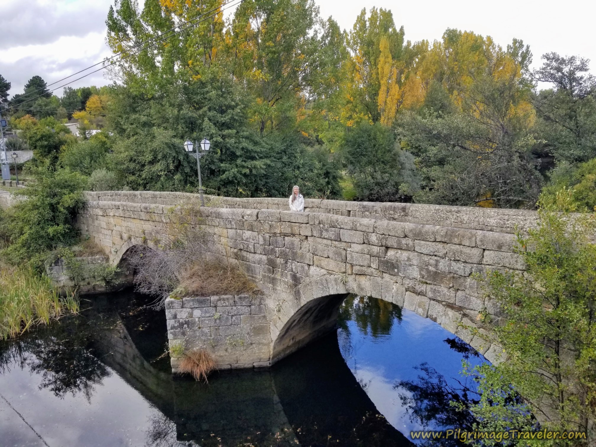
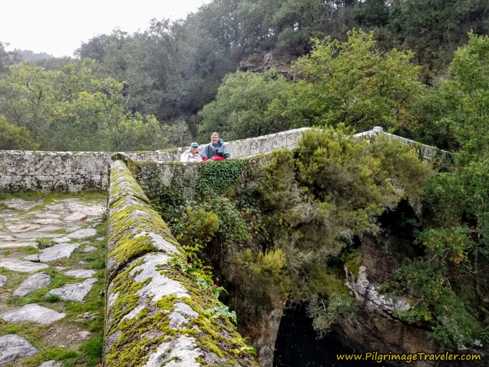
By around 7.6 kilometers, you come to an old bridge across the Arroyo de Porto, barely visible in the tangled brush. I took a photo of it, but it just didn't come out well, as the vegetation was so overgrown around it that you couldn't even tell by the photo that it was a bridge. Here is the bridge from the road from above.
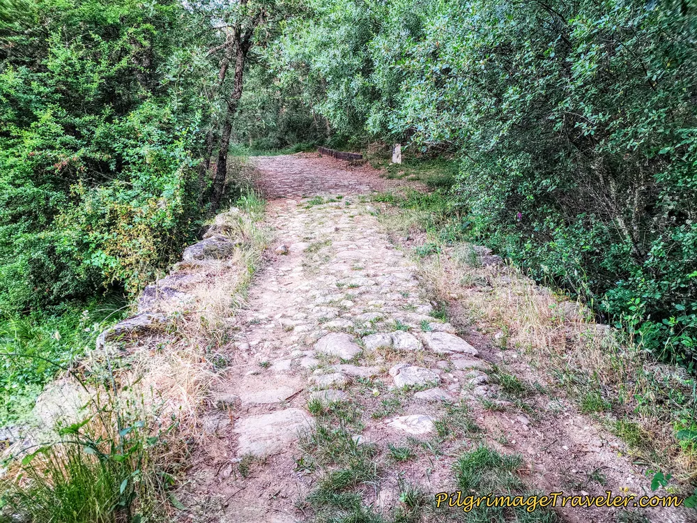
And of course, by the bridge and after, we joined a short section of an ancient road, most likely Roman, climbing up and out of the arroyo. I do love a good Roman road!
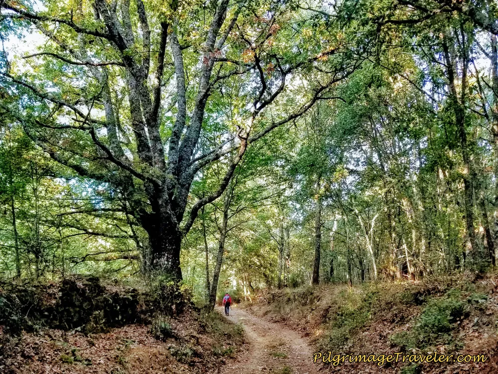
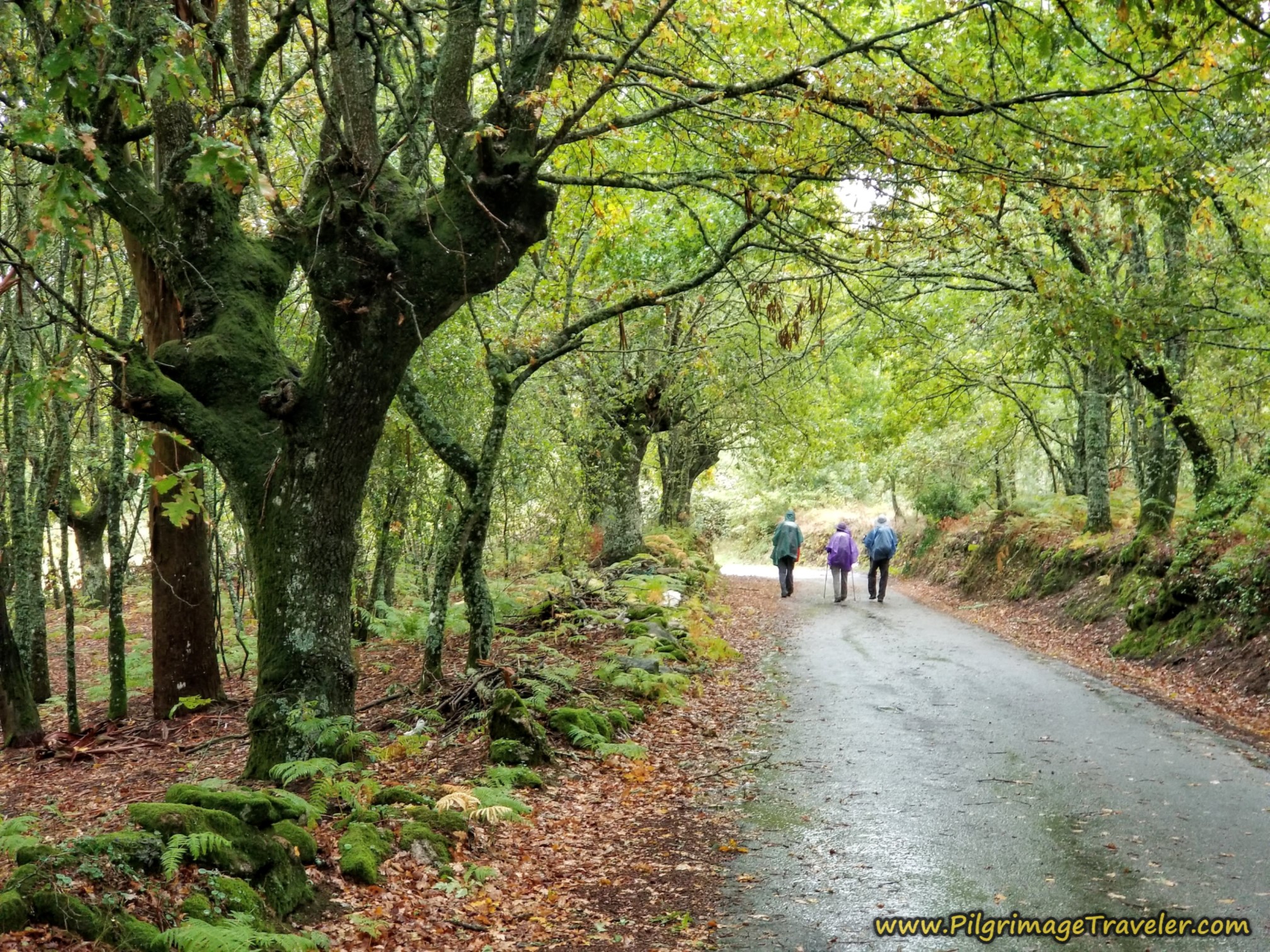
As we continued to climb, we walked through the most amazing forest with the most stately and "enchanted" trees. This forest and the Roman road certainly helped fuel our imagination for a day with our heads in the clouds!
By approximately kilometer 8.1, you come to a two-lane paved road and cross it, shown below.
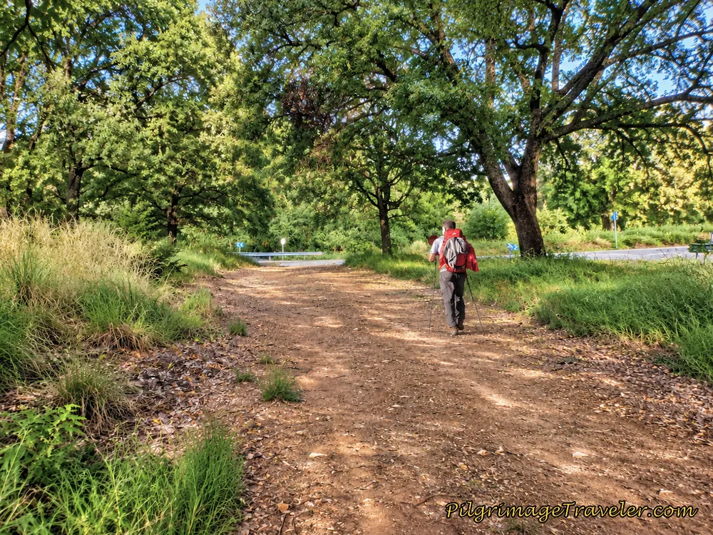 Intersection with Paved Road
Then it is onward, on the final elevation gain on more lanes to the next village of Remesal.
Around kilometer 8.5, just before the town, you are essentially at the highest point in altitude for the day at 1014 meters (3327 feet).
You will arrive in Remesal by about 8.63 kilometers into the day. After crossing the paved road near the edge of town there is a nice rest area, a fountain, a pilgrim's placard and information as you can see below. There are no other services here in this small town.
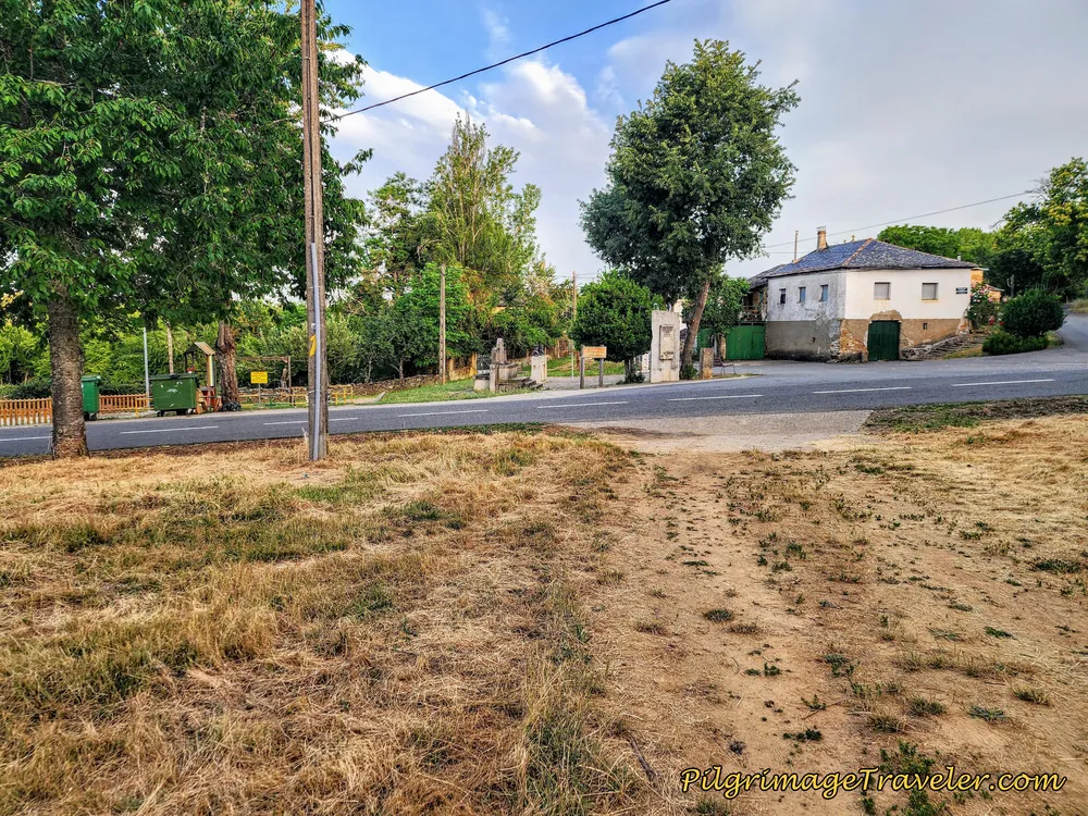 Entering Remesal, Camino Sanabrés
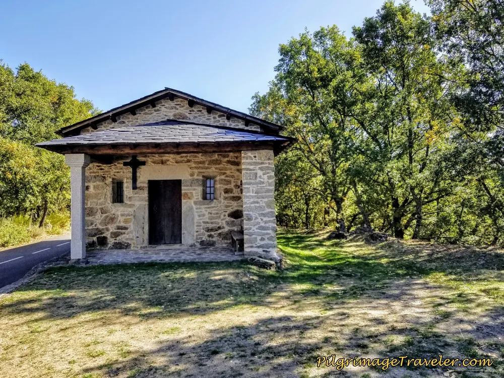
Carry on straight here, and continue on the road that is now concrete. Pass by the sweetest little stone chapel.
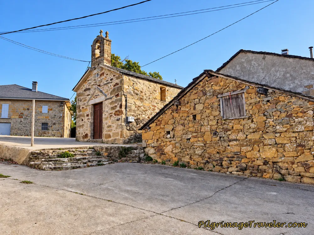
Next you take a left out of town on a small road at this intersection.
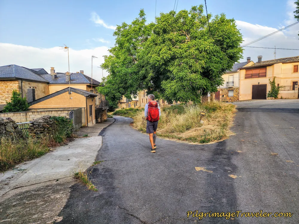 Left Turn in Remesal
The road ends and the Camino picks up this lovely lane by this old stone building.
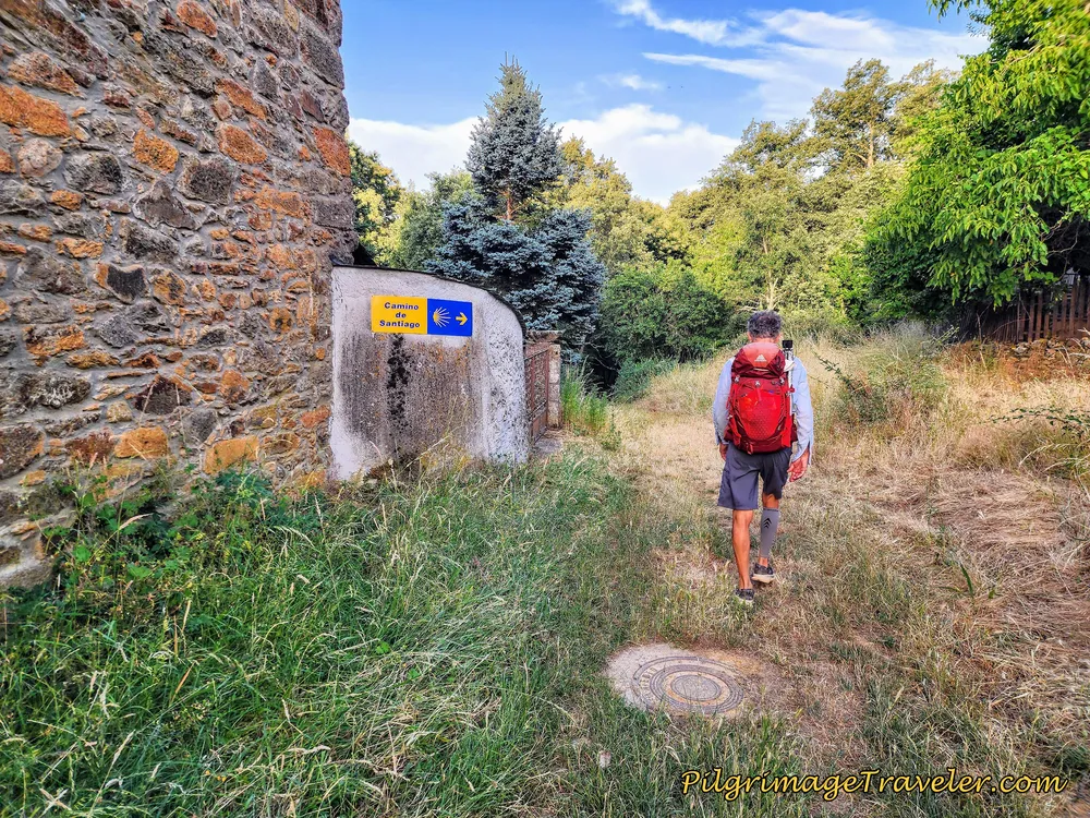
Jump to Camino Sanabrés Stages
The lovely lane takes you into the forest once again, this time for about a kilometer's worth of a shady and walled way.
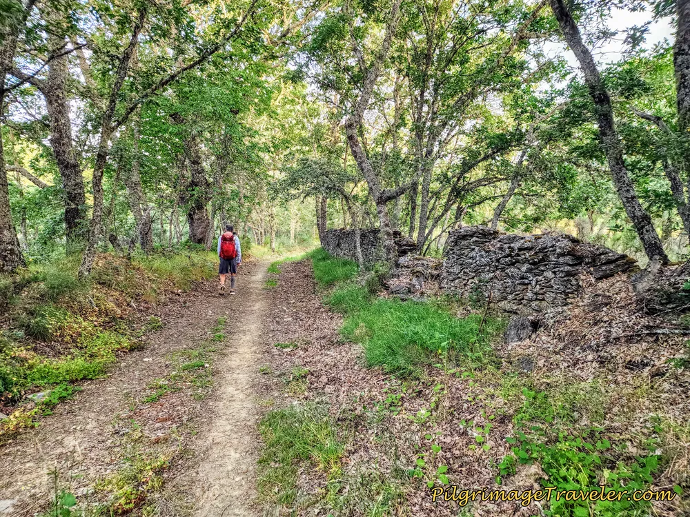 Back in Nature and the Countryside
After about 9.7 kilometers into the day, you cross under a power line cut, not pictured.
Less than several hundred meters later, you can hear a motorway, and the forest path then takes a sharp bend to parallel the A-52 highway. Fortunately, it is only for about 1/3 kilometer, before you climb up to this hairpin turn, shown below. If you feel nimble, just before this turn is a shortcut path to the left, heading steeply down the embankment, cutting off quite a few steps.
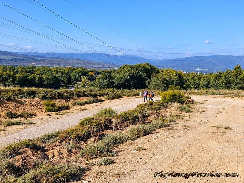 Hairpin Turn on the Road to Otero de Sanabria
This high turn leads you to the overpass of the A-52, where you cross under the power lines again and walk over and above the highway. It is after about 10.5 kilometers when you actually cross the highway on the overpass.
About 400 meters later, along a partially-treed lane, you take a right hand turn to head toward the next town of Otero de Sanabria. There were seven of us now, all walking together and chatting away, and we all missed the turn! The turn was clearly waymarked, but we had to retrace our steps after a kind farmer turned us around. We were just not paying attention.
Shortly after the turn, you walk under yet another large power line cut.
By about kilometer 11.4 the Camino arrives in Otero de Sanabria, where we were directed to turn right again to enter town.
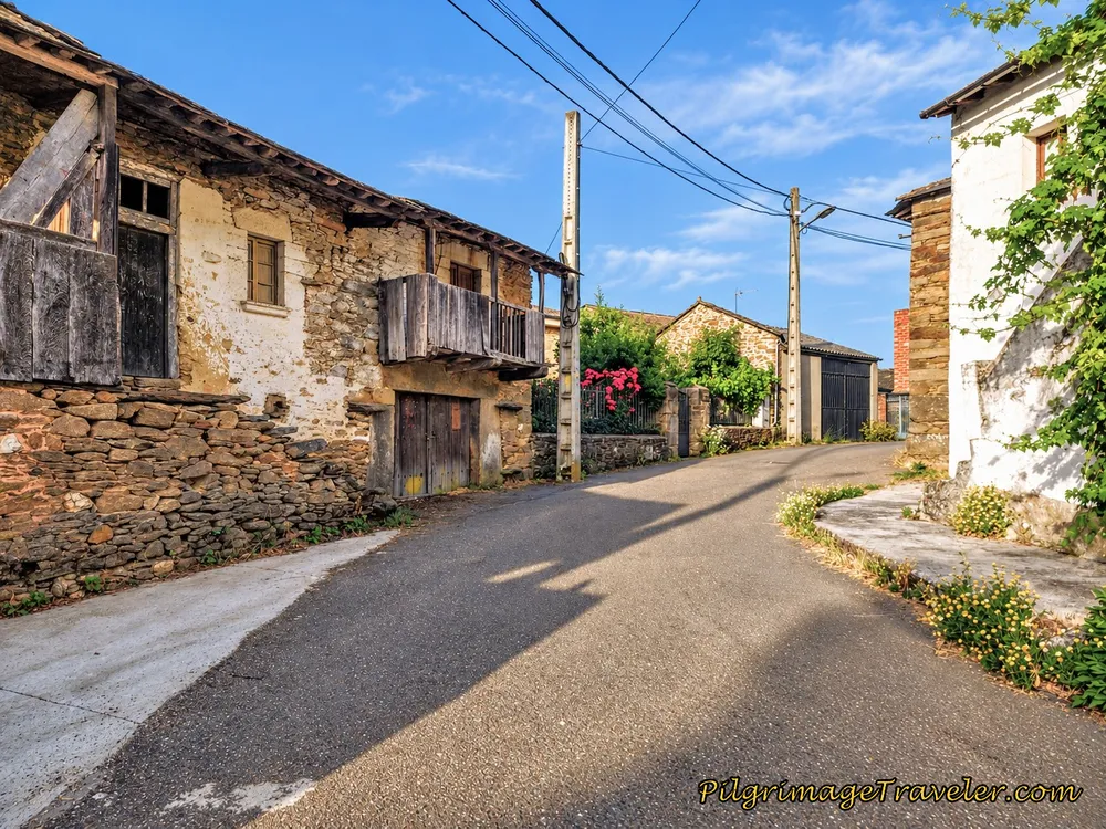 Walking Through Otero de Sanabria
Meander through town until you come to this church, where there is a large water fountain. The Camino passes by it on the left hand side. We stopped here to admire some wood-carved lintels over the doors, a few hundred years old. There are benches along the street and inside the arches of the church if you wish for a break.
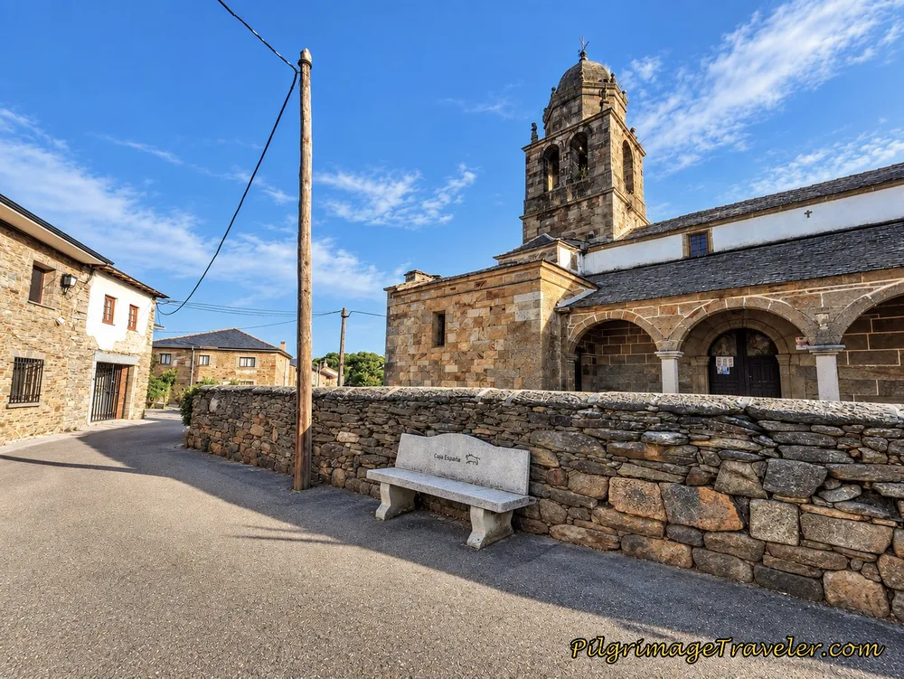 Pass the Iglesia de Santo Tomás Apóstol
After passing the church the Camino continues on straight and to the west. Several meters after the church, after about kilometer 12.1, you take a right hand turn to leave Otero de Sanabria on a nice side lane. Here is the turn, pictured below, waymarked by the wall.
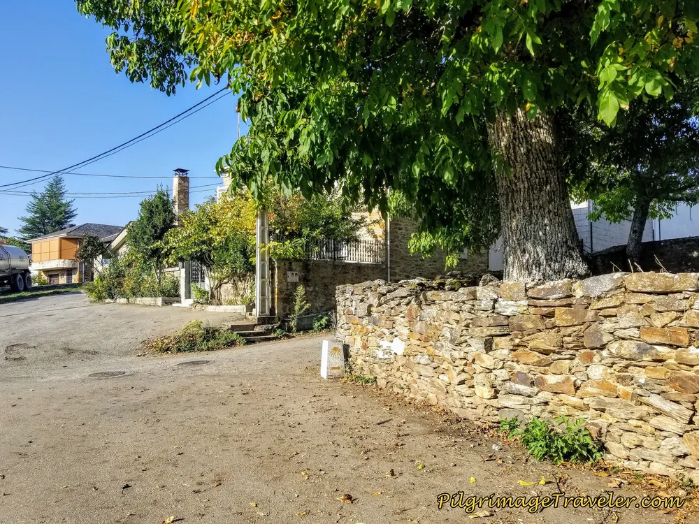 Right Turn in Otero de Sanabria on Side Lane
Jump to Camino Sanabrés Stages
After another 1/3 kilometer, we left Otero's small side road and turned right onto the secondary road shown here. The views ahead made us very anticipatory for the possibility of seeing our vision in the clouds - Puebla de Sanabria. It seemed possible to catch sight of it soon.
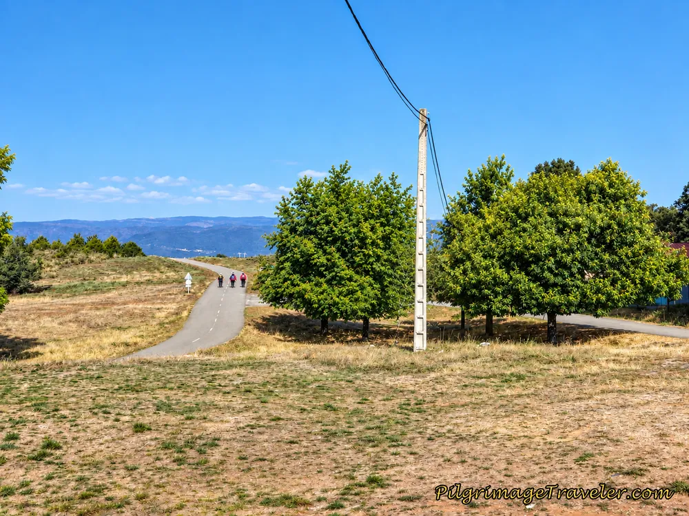 Leaving Otero de Sanabria on the High Road
Without a doubt as we continued on along this road, we were going to have a drop in elevation. You can see this nice drop on the day's elevation profile above, after 12.5 kilometers.
The walk along this paved road is almost two kilometers until the next town of Triufé. Pass the 255.368 kilometer waymark along the way.
Unfortunately, at this point we were not to get a view of Puebla de Sanabria at least not yet! Instead we dropped down to cross another arroyo, just after walking under the A-52 again at around kilometer 13.2.
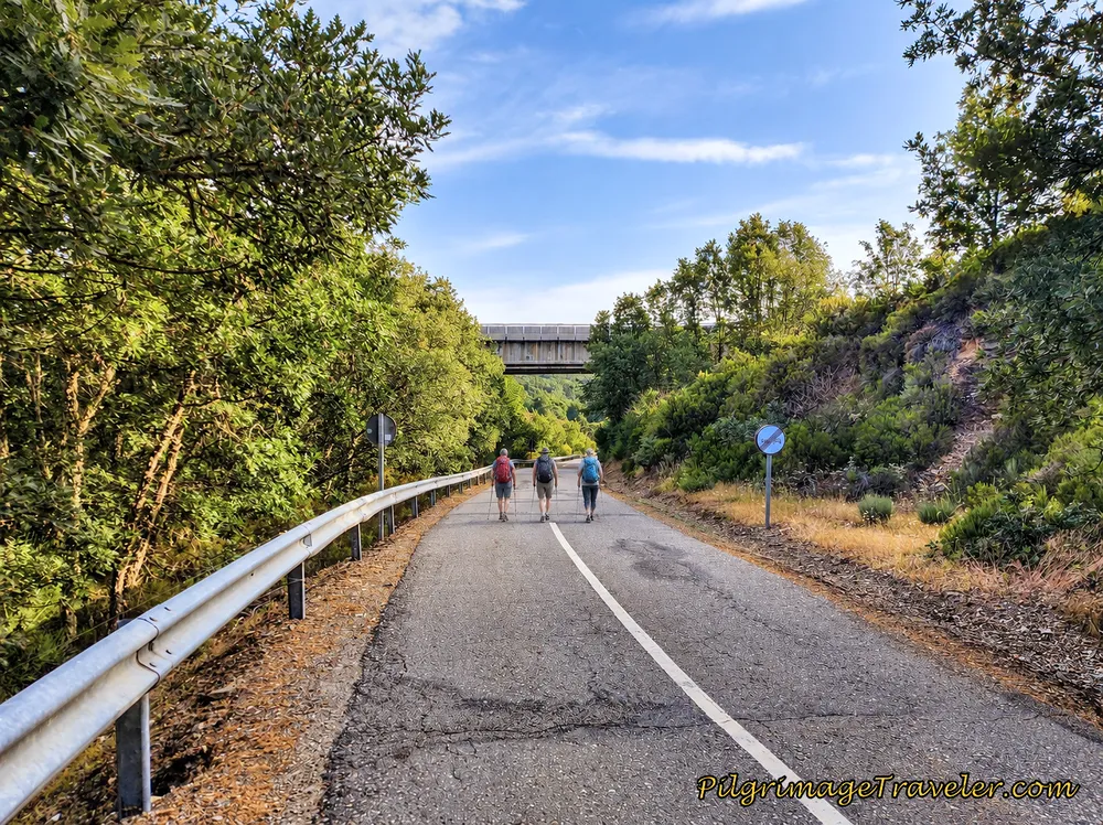 Walk Under A-52
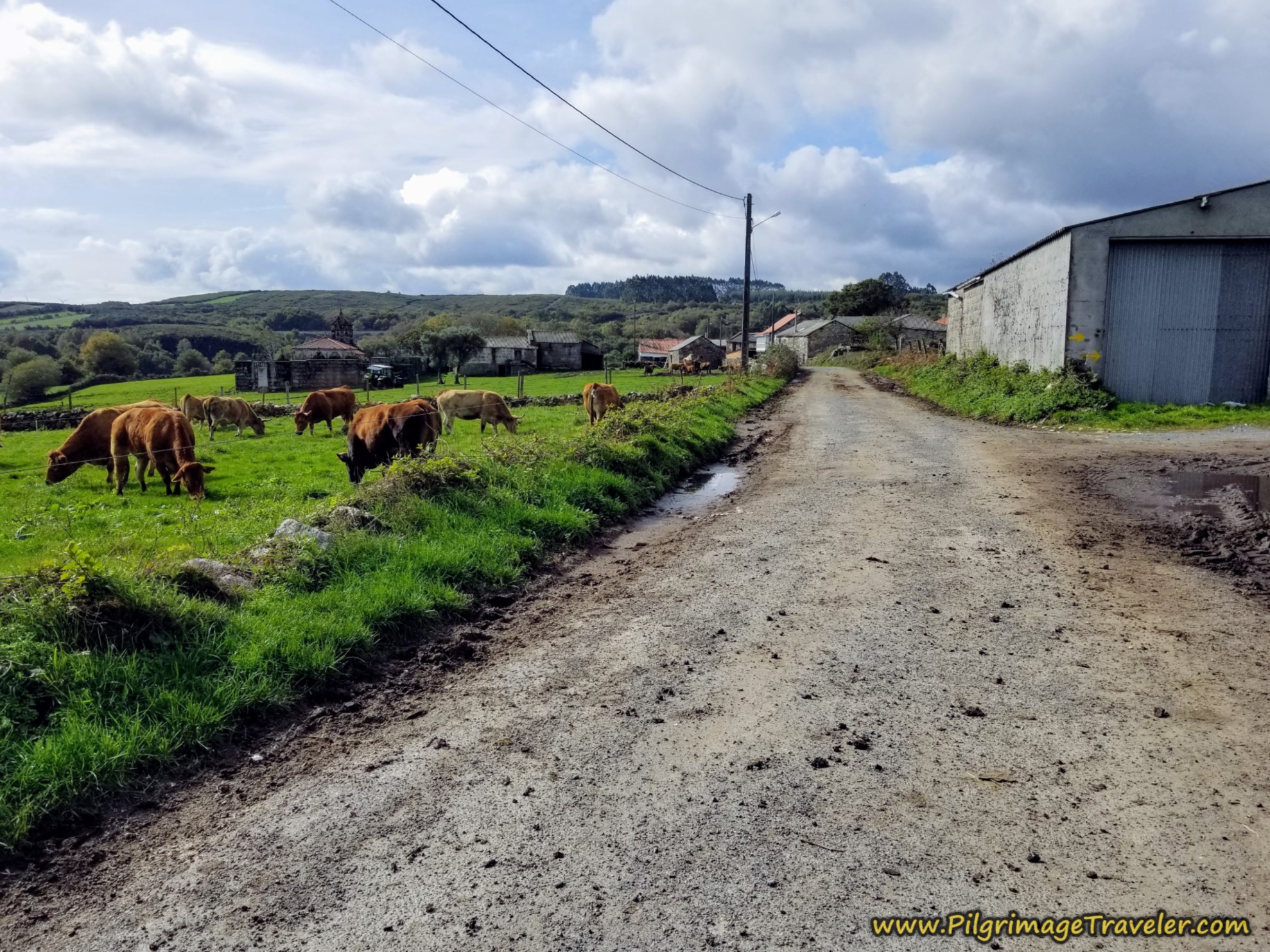
Of course, when you drop down to cross a drainage, the odds are that you will climb back up the other side. Today was no exception. Still remaining on the same secondary road, we took a wide hairpin turn on the climb out of the drainage. We met a herd of cows, making their way down!
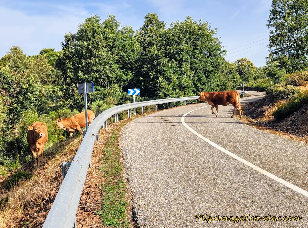 Open Pavement, Climbing Toward Triufé
By kilometer 14.2, we entered the town of Triufé. After passing the town sign, the Camino turns left, at the next intersection.
Next, the route meanders through the southside of town, and past the charming Iglesia de Triufé about 400 meters later.
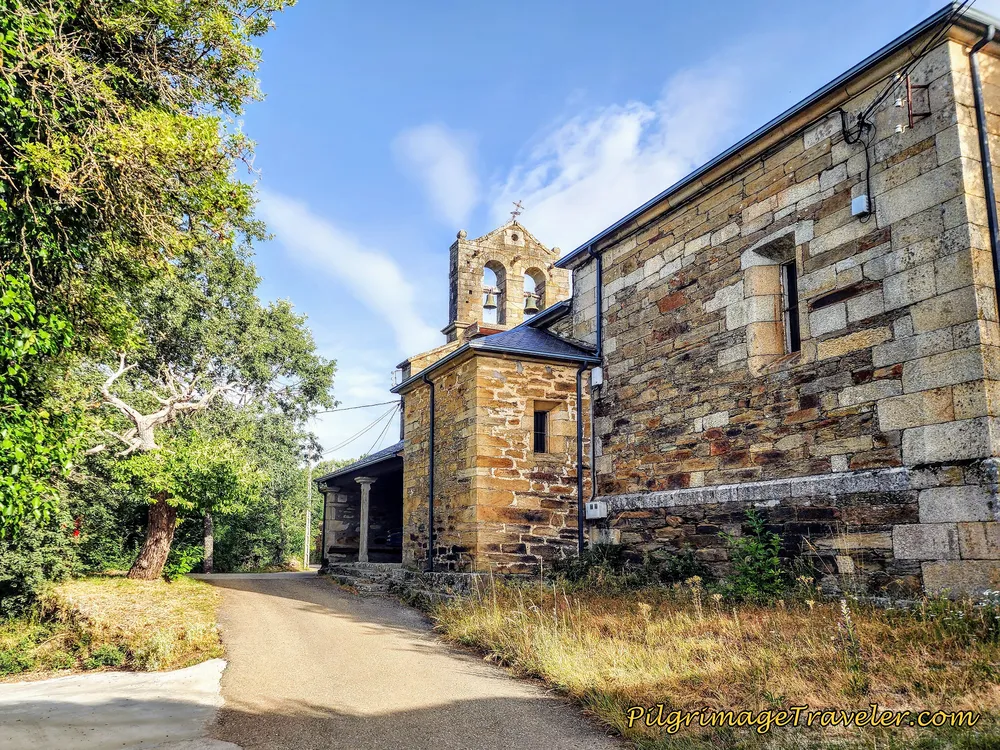 Pass by the Iglesia de Triufé
Just beyond the church there is the lovely-looking Casa Rural El Refugio del Poeta, but it may have a 2-night minimum stay.
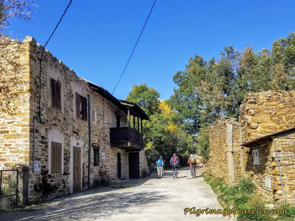
Shown below is a mural the Refugio had painted on their wall: "Nothing more I ask, Heaven above me and the Camino under my feet." Wonderful! This certainly fit our mood, with our head in the clouds, full of vision of the "castle" ahead!
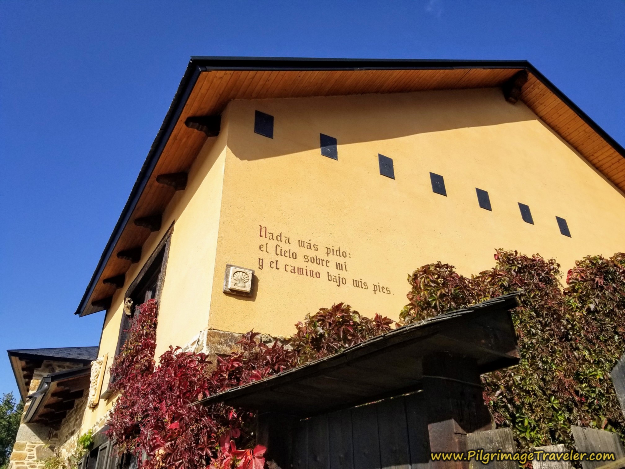
We continued onward through the lovely small town of Triufé on the Camino Sanabrés from Entrepeñas to Puebla de Sanabria.
Jump to Camino Sanabrés Stages
By kilometer 14.9, at the far western edge of town, you turn left onto this final stretch of highway.
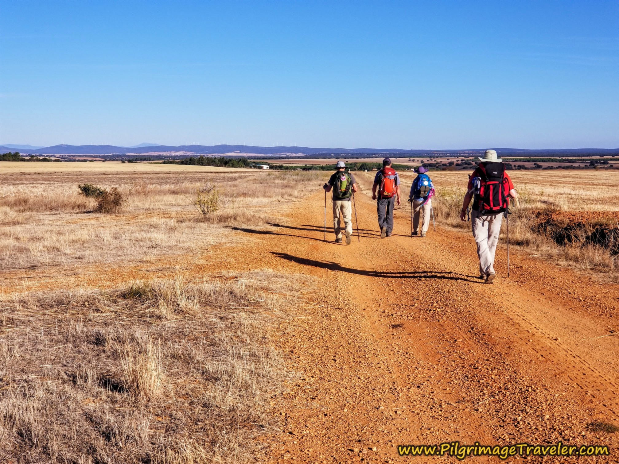
Walking along this highway feels very lofty indeed, as you can see below. My feet were happy and light, as we were almost there. Here is Norm and Nadine at the crest of the final hill before the drop into Puebla de Sanabria.
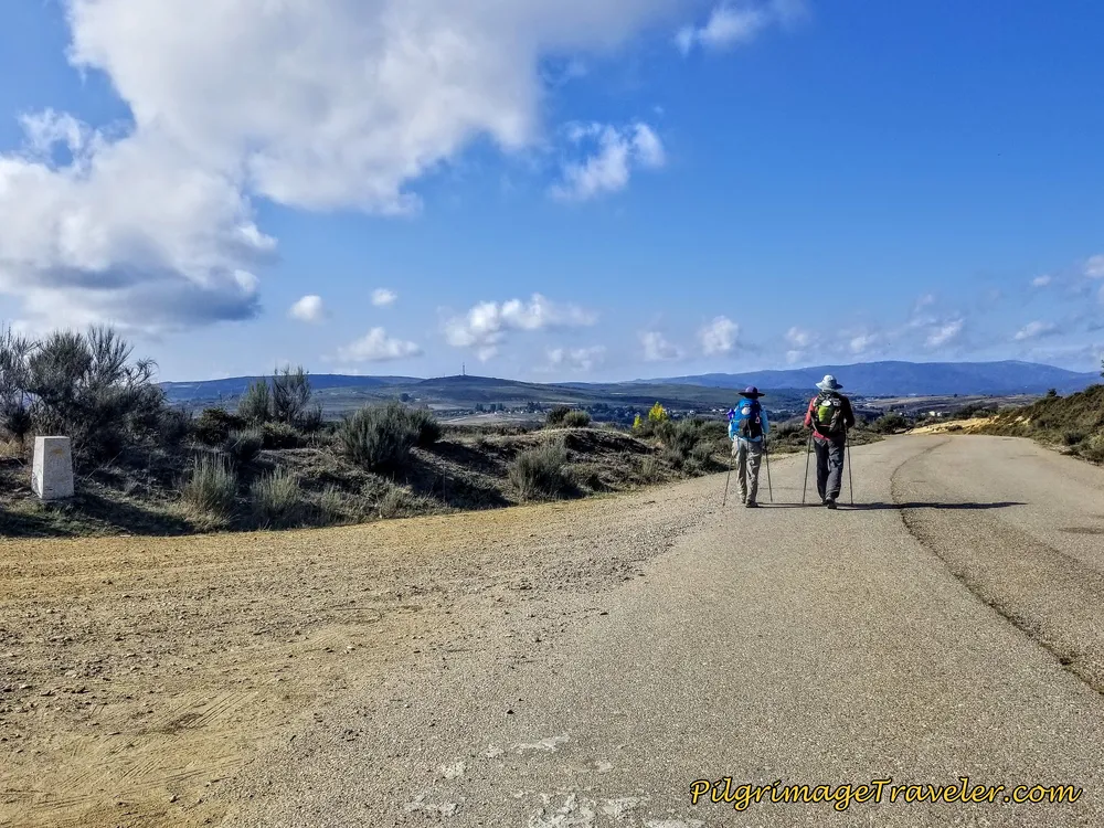 Lofty Heights
And then suddenly, the drop begins, as you cross the A-52 on this overpass after 15.8 kilometers, and the fortress town fills your view. Our vision at last - with and without architecture!
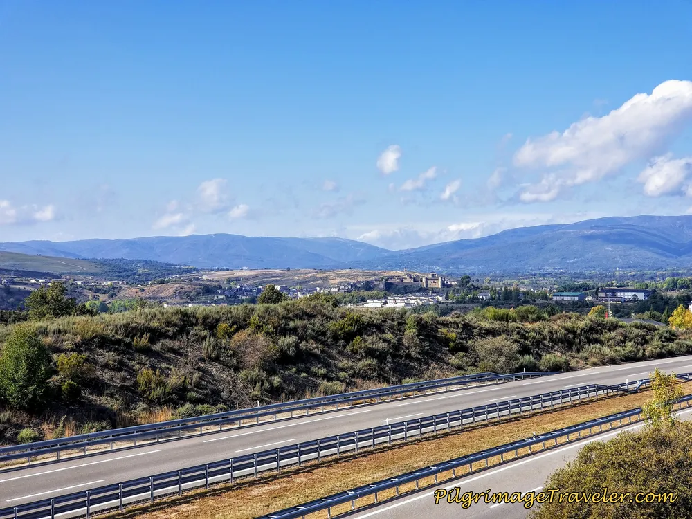 Cross the A-52 Again, Puebla de Sanabria in View!
The descent is quite steep here after the highway overpass, as the views continued to astound us.
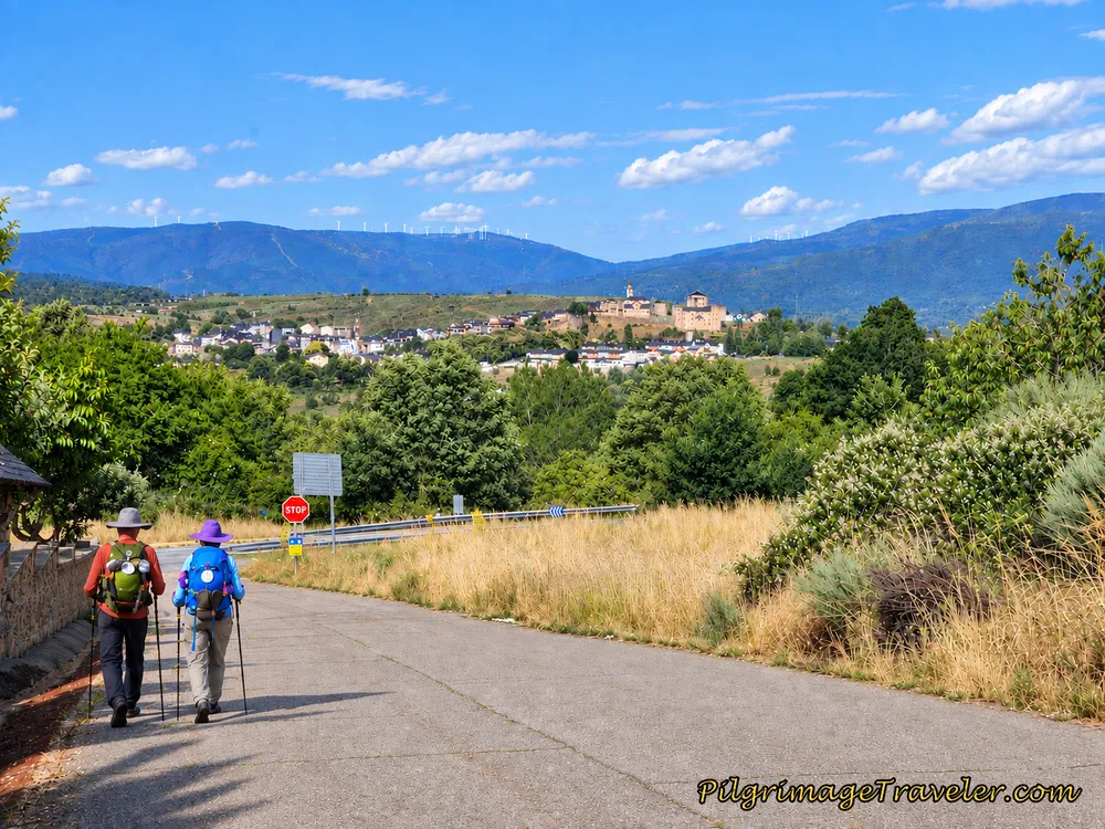
By kilometer 16.2 you come to the very busy highway, the N-525 and turn to the right. Almost immediately after the turn, pass the huge Hotel Gran Casona de Sanabria on your right, not shown.
As you walk along the N-525 be careful! There is lots of traffic and you are forced to walk on the shoulder, as you can see here.
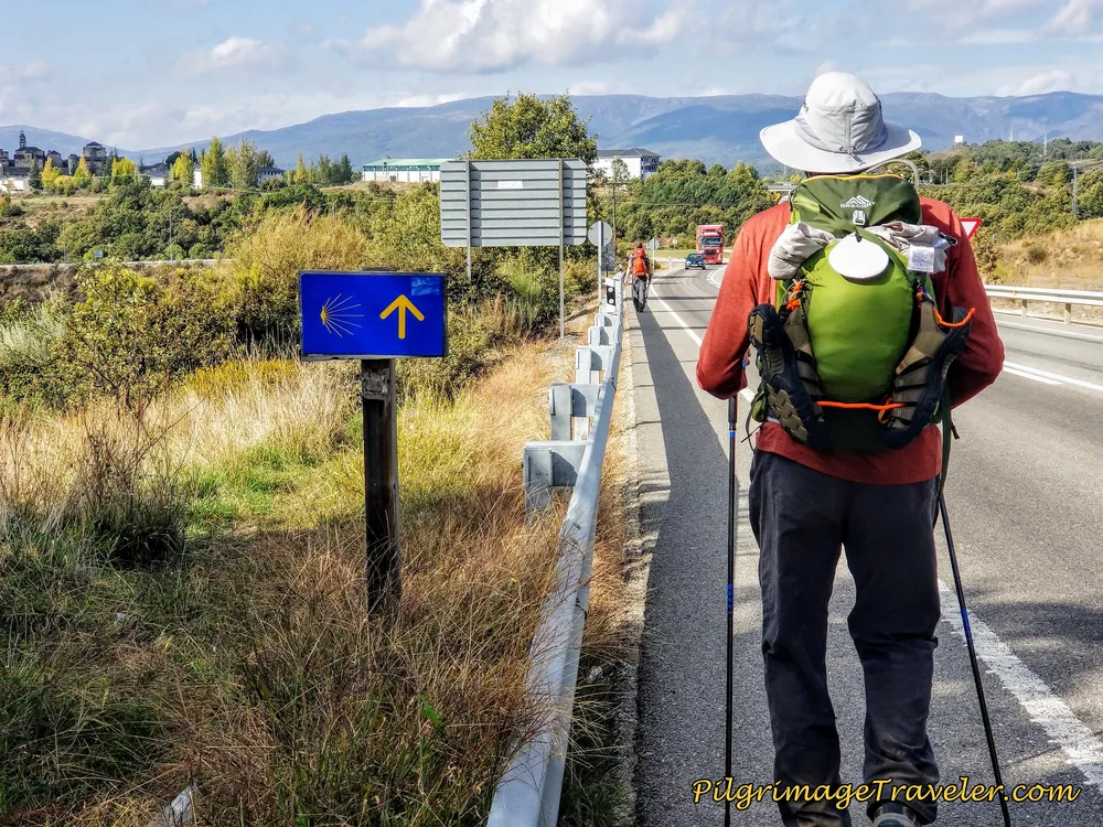 Norm Walking Along the N-525 Towards Puebla de Sanabria
It is only about 1/2 kilometer that you are required to walk along the N-525, when you come to a large traffic circle. The signage directs you to stay to the left.
After the left hand turn you are greeted with signs for Puebla de Sanabria.
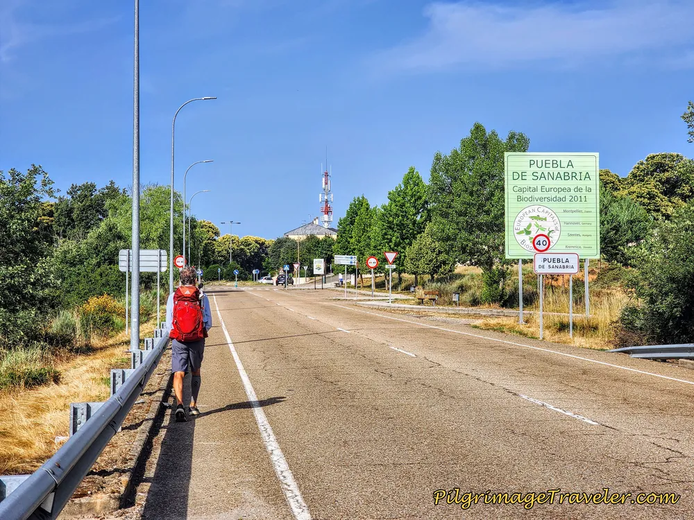 Welcome to Puebla de Sanabria
After another 1/2 kilometer, at about kilometer 17.4, come to a small roundabout, and keep straight, toward the radio antenna that you see in the photo.
Pass by the Hotel and Restaurante Tierra de Lobos at kilometer 17.5. This is an interesting local place where Rich and I went the following day for a rainy day happy hour! We have also stayed here and the staff are very pilgrim-friendly. It is a comfortable family-run hotel with good food.
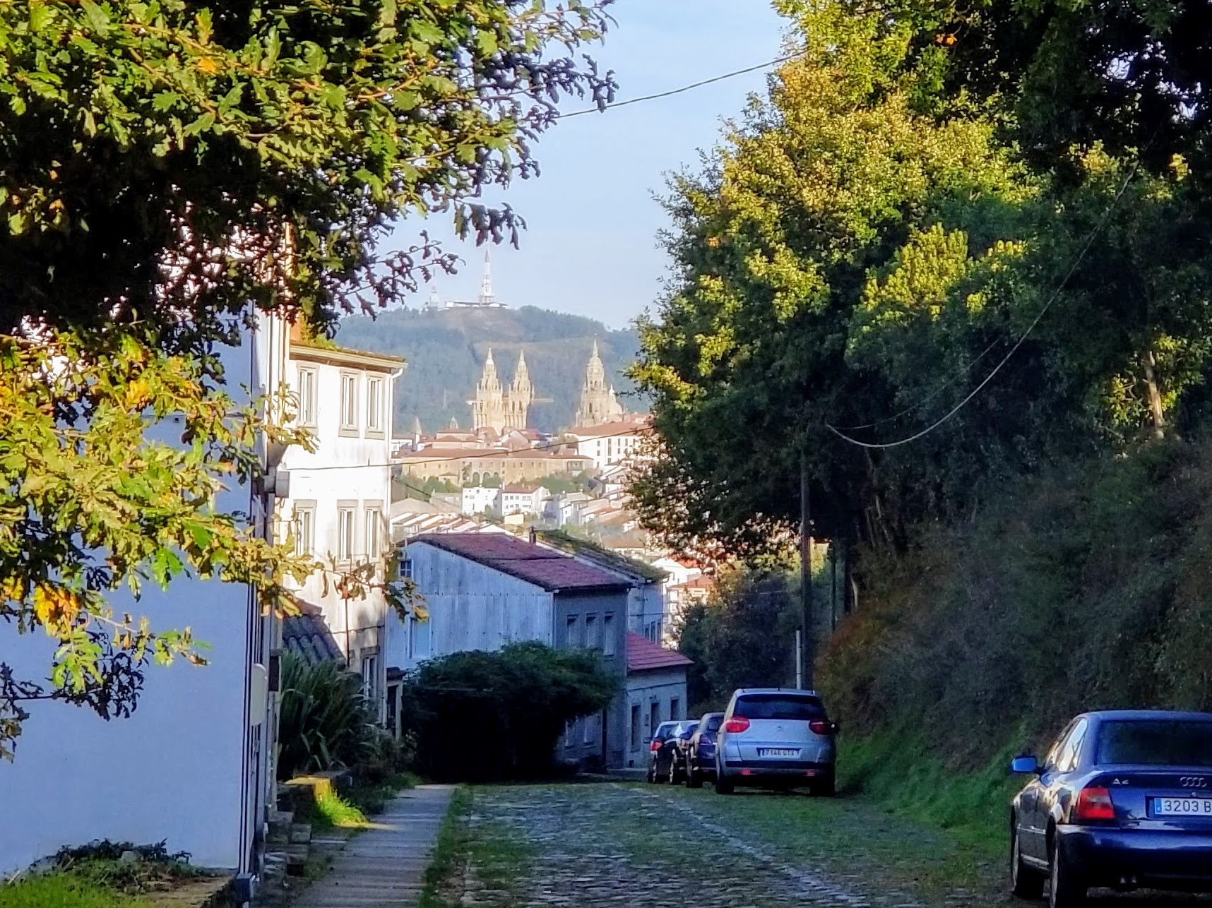
And after a big bend in the road, you see the castle looming on the hill above you, and you are essentially steps from the end of the stage.
Pass the Hotel Casuca Sanabresa, below Our friend Vim stayed here and felt it was quite adequate.
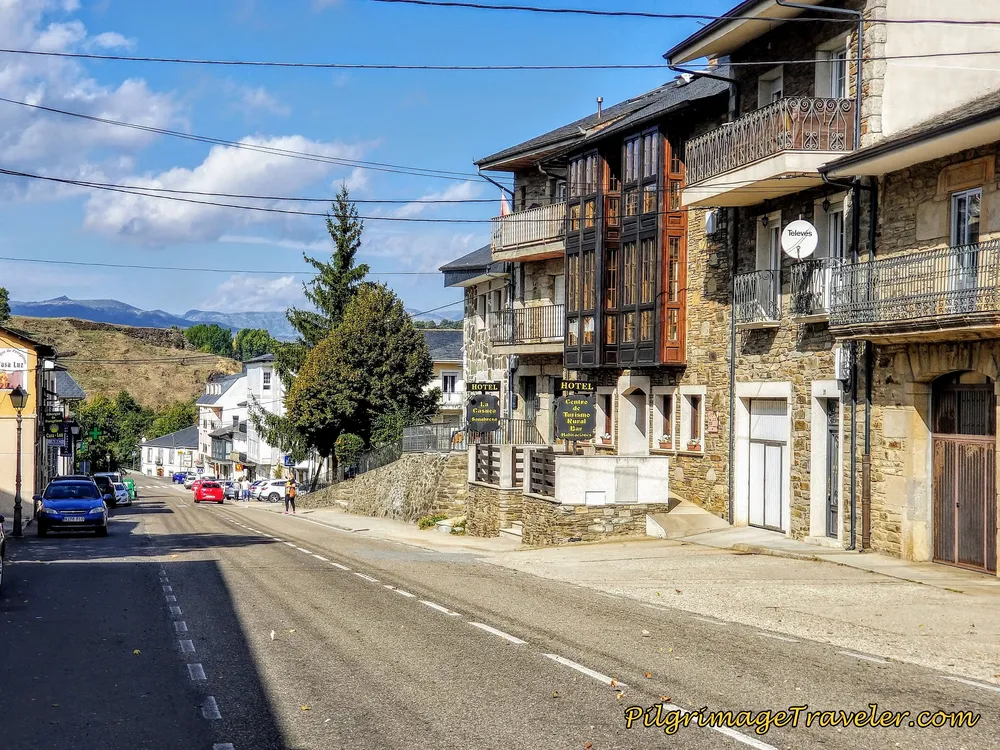 Final Steps on the Calle Salgado
And just a few steps more, just before the bridge across the Tera River, the private Albergue Casa Luz is on your left. This was the only albergue in town, and unfortunately it is still closed.
I have chosen to still include it here, perhaps with the hope that the elderly couple who own it will sell it and it will reopen again soon! There is a real need for this inexpensive place to be available for pilgrims!
The rooms had beds in various configurations, so I am keeping my fingers crossed! It was a very comfortable pilgrim accommodation with lots of amenities which I sincerely hope continues.
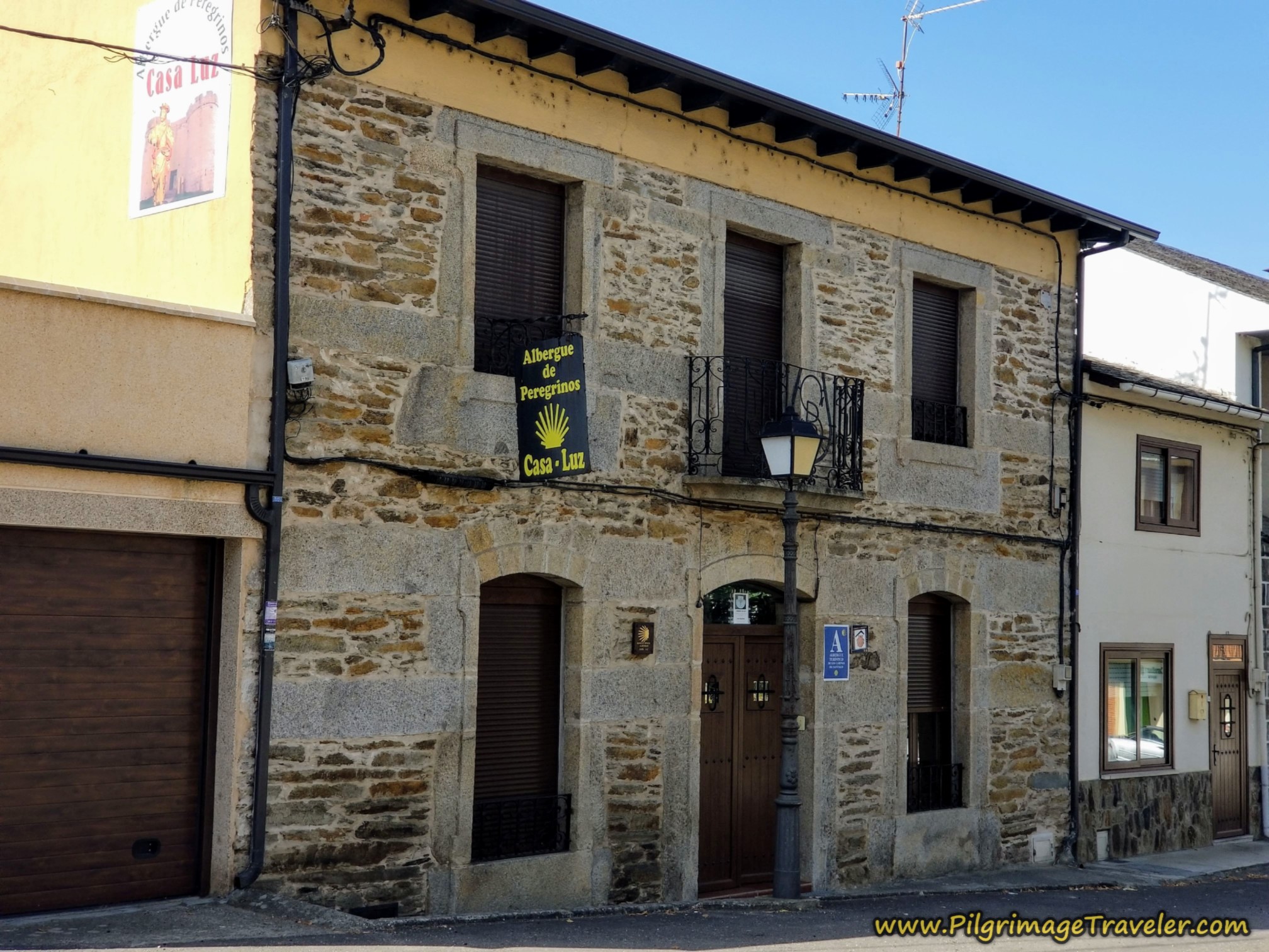 Albergue Casa Luz
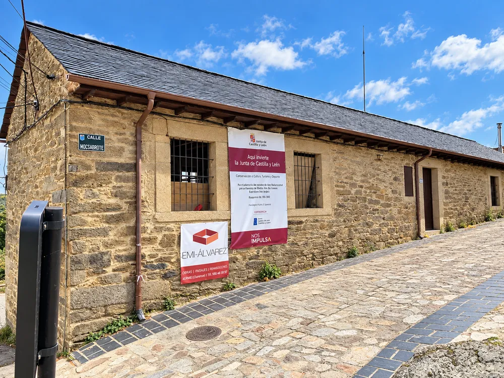
However, there may not be a reason for this albergue, as a new municipal albergue is planned in the historic center, perhaps even completed by the end of 2026 or early 2027. You can check it out at Calle Moscabirote, #5. Here is what it will look like, photo below. Thanks to my reader, Chuck for supplying this photo!
 Future Municipal Albergue in Puebla de Sanabria
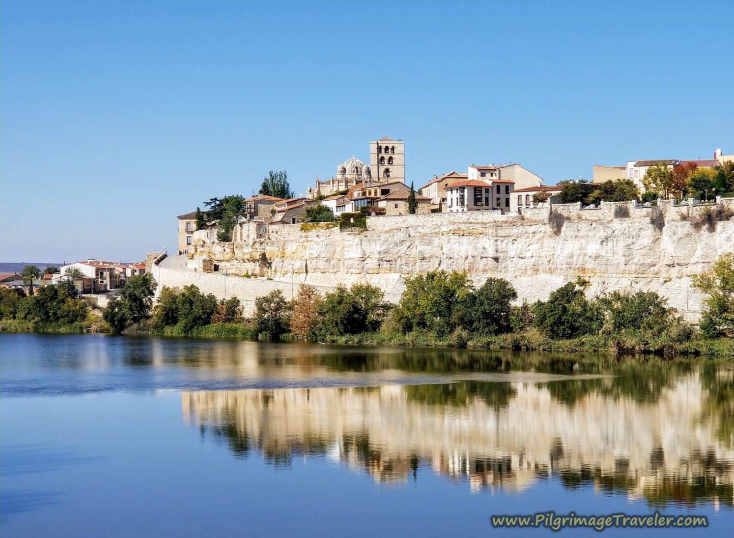
If you were to continue down the street toward the fortress hill, the Camino crosses the river at this bridge, just below the castle. The Camino turns to the right, and continues onward around the hill. It is after the bridge that I conclude the 18-kilometer journey's GPS measurements.
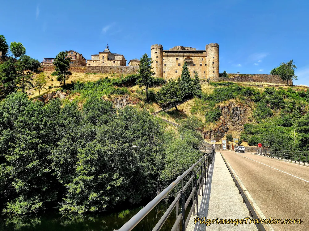 Fortress Hill Across the Río Tera
After we showered, rested and did our laundry, we crossed the river on the bridge, seen below, and took the pedestrian stairway up to the fortress hill top. It is a good climb!
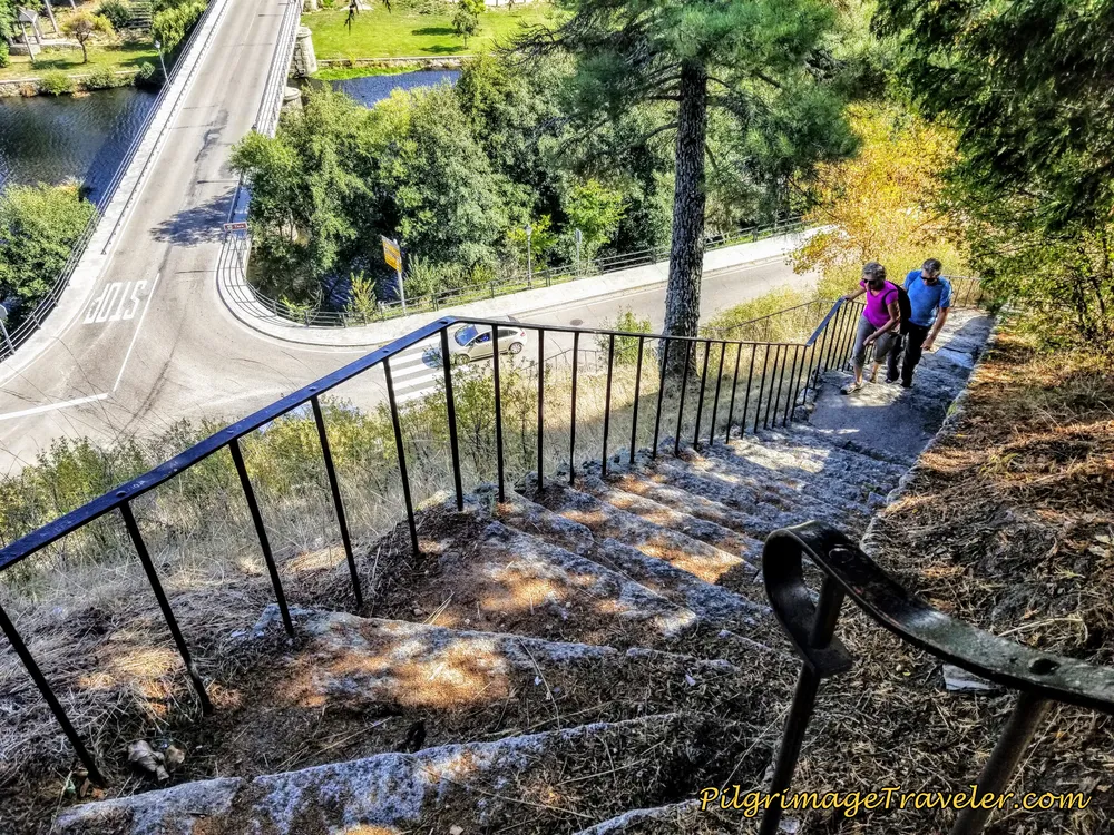 Stairway to Fortress Hill
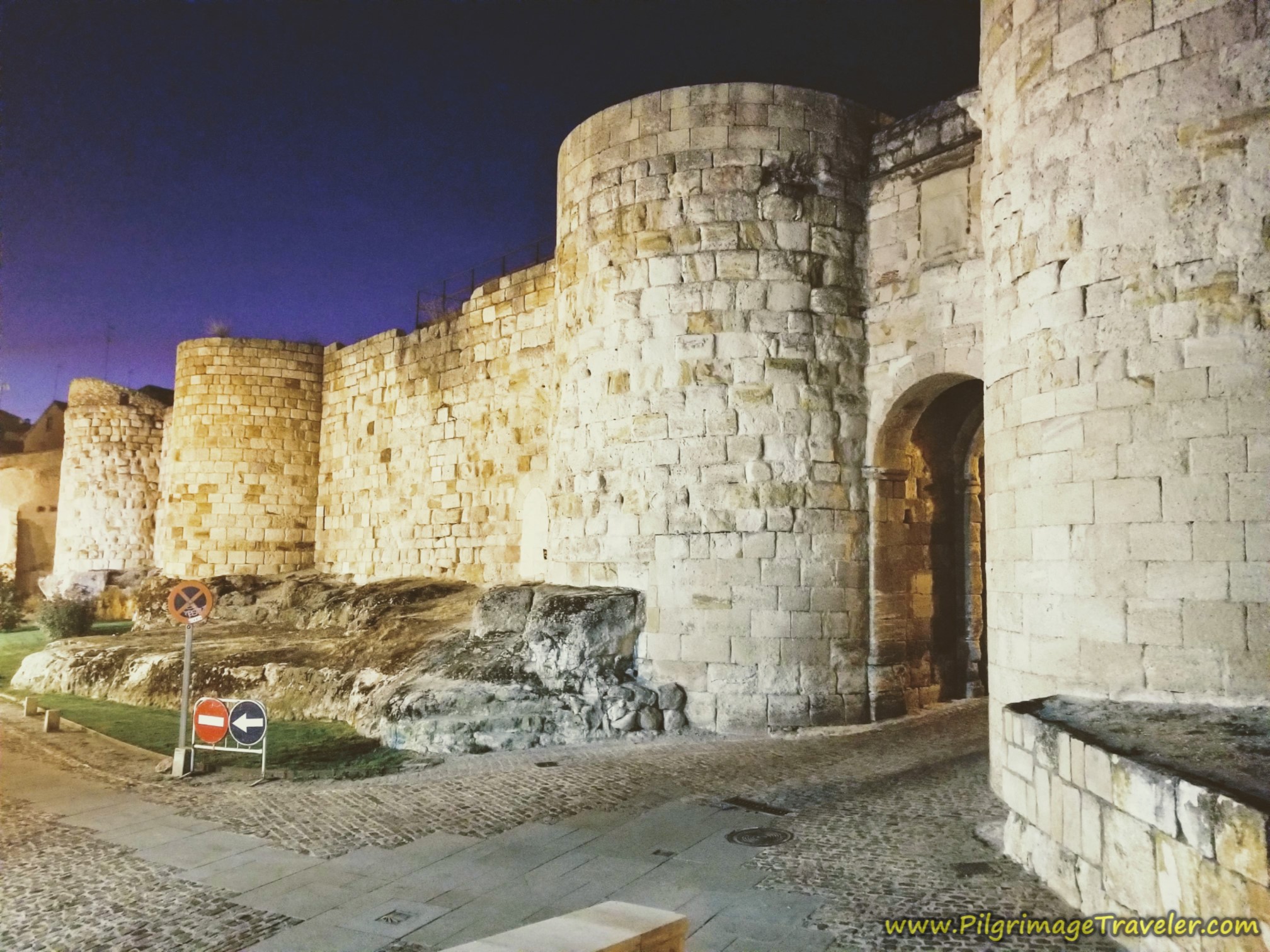
The weather was clear and beautiful as we reached the top. To the north, the terrace wall appeared and the castle walls just beyond.
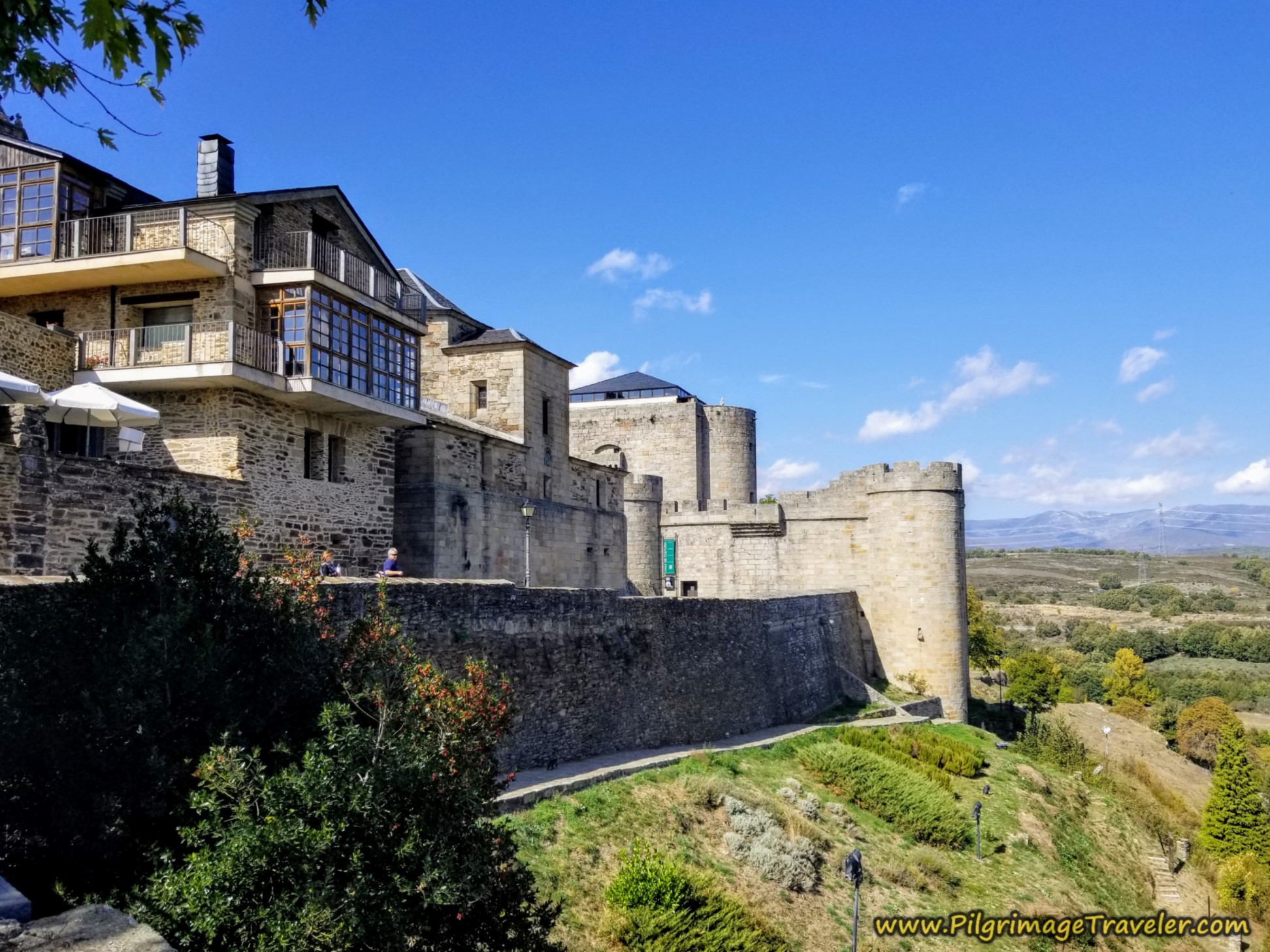 Town Terrace
We had our large meal for the day at the Sidrería La Guaja, shown below which is also the Hotel Rural Guaja.
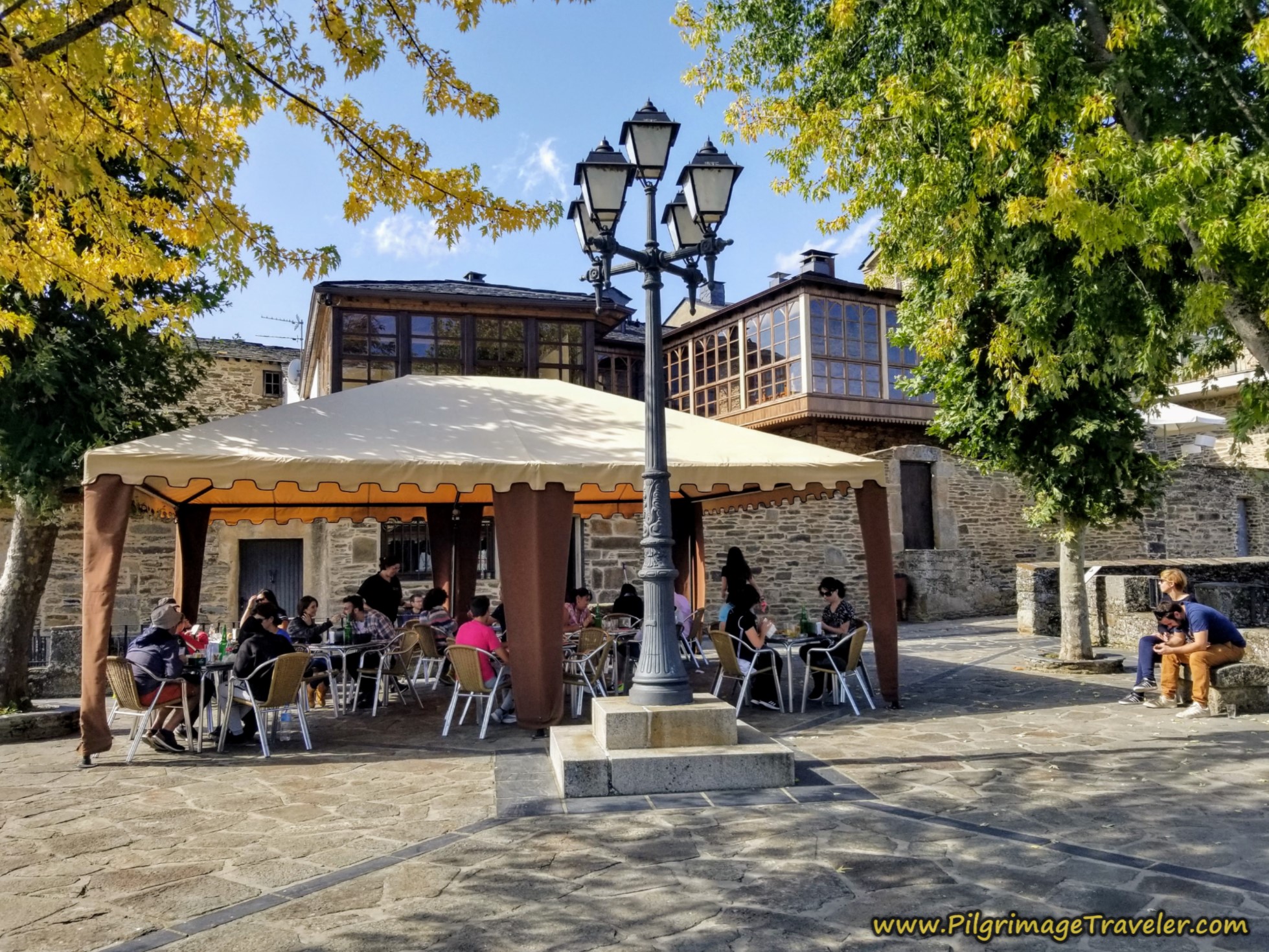 Sidrería La Guaja, Top of Fortress Hill
This wonderful place is at the top of the terrace with lovely views to the east, shown in the next photo.
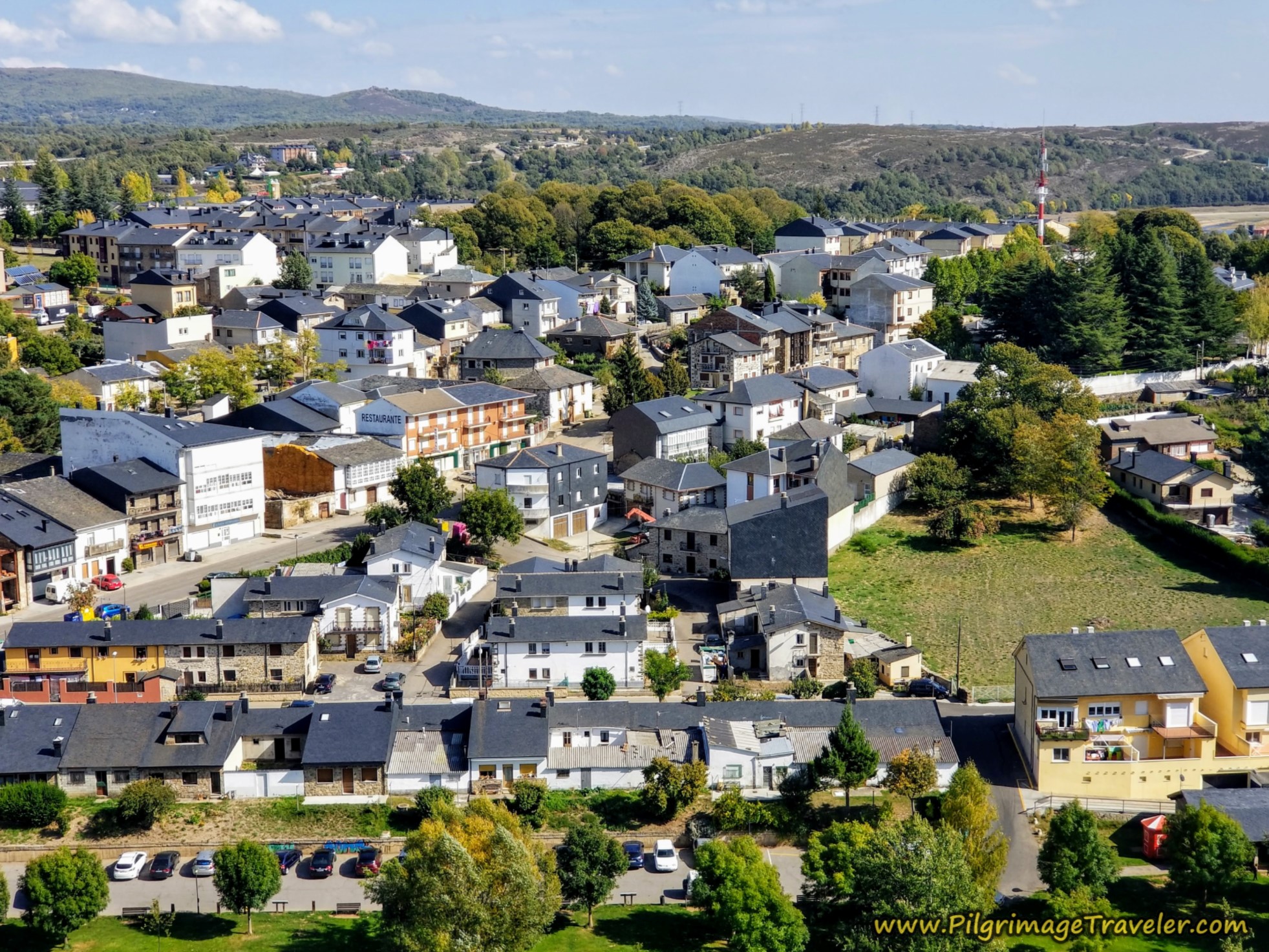 View From Fortress
After we walked around town a bit, we visited the Ermita de San Cayetano, shown below, but it was closed to the public. I was glad I shot a lot of photos of Puebla de Sanabria on this day, as our rest day the following day turned out to be rainy and overcast.
To see more lovely photos of this town, click on Puebla de Sanabria.
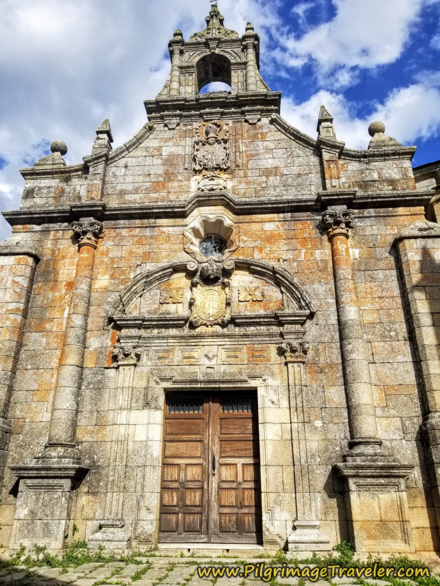
Accommodations in Puebla de Sanabria
There are some reasonably priced accommodations in town:
First, remember to keep your eye out for the new municipal albergue, opening soon and in the historic center on the hill, at Calle Moscabirote, #5.
There is the Hostal San Francisco, just steps off the small traffic circle, indicated above, as you enter town. The Hotel La Casuca Sanabresa, and the Hostal La Trucha are both just before the bridge along the Calle Salgado and both are economical.
Across the river and towards the south of town is the Hostal Carlos V, the one you have seen advertised along the Way. There is the Hostal Tribal and the Hostal Raices, a bit farther to the north.
The closer you get to the center of town, and the castle on the fortress hill, as you might expect, the pricier the accommodation is. You can always look at booking.com for the best deal, and to see other, more luxurious accommodations. There is even a Parador here.
You can check my interactive map above to see where all these accommodations are located. There is even a reasonably priced hotel across the river to the north, but still very conveniently located to the attractions, called the Hotel Los Perales.
Reflections on Day Five of the Camino Sanabrés, Entrepeñas to Puebla de Sanabria
I had no issues, no complaints and no difficulties on this lovely, short day to the tourist castle town. My body and soul were happy and light, as I do love a good historic, medieval town, full of wonders to explore. My imagination and love of history takes over me!
We also got to know our Camino compadres better than before as we all walked together for a large portion of the day. It was lovely to do so. It was one of my best walking Camino days ever!
I do have to comment that if we had not been traveling in a foursome, we would have felt that seeing Puebla de Sanabria in the afternoon and evening would have been sufficient. Because our friend was still limping, we agreed that it would be best for a rest day, to hopefully tame her tendonitis in her right shin. She had been limping for four and a half days by this point, and I was becoming a bit worried.
Most of the next rest day was spent lounging around in the albergue or the cafés anyway, because of the rain. We did spend extra time at the castle which we saved for the rest day, because we knew we didn't have to rush. We also killed time shopping and eating lengthy meals. So, it was still pleasant indeed!
Salutation
May your own day five on the Camino Sanabrés from Entrepeñas to Puebla de Sanabria be a day with your own metaphorical vision of your castle in the clouds. You will certainly be able to entertain that possibility if you hold a picture of the actual castle in Puebla de Sanabria in your heart and head! Ultreia!
Camino Fonseca Stages
~ Vía de la Plata Stages from Salamanca
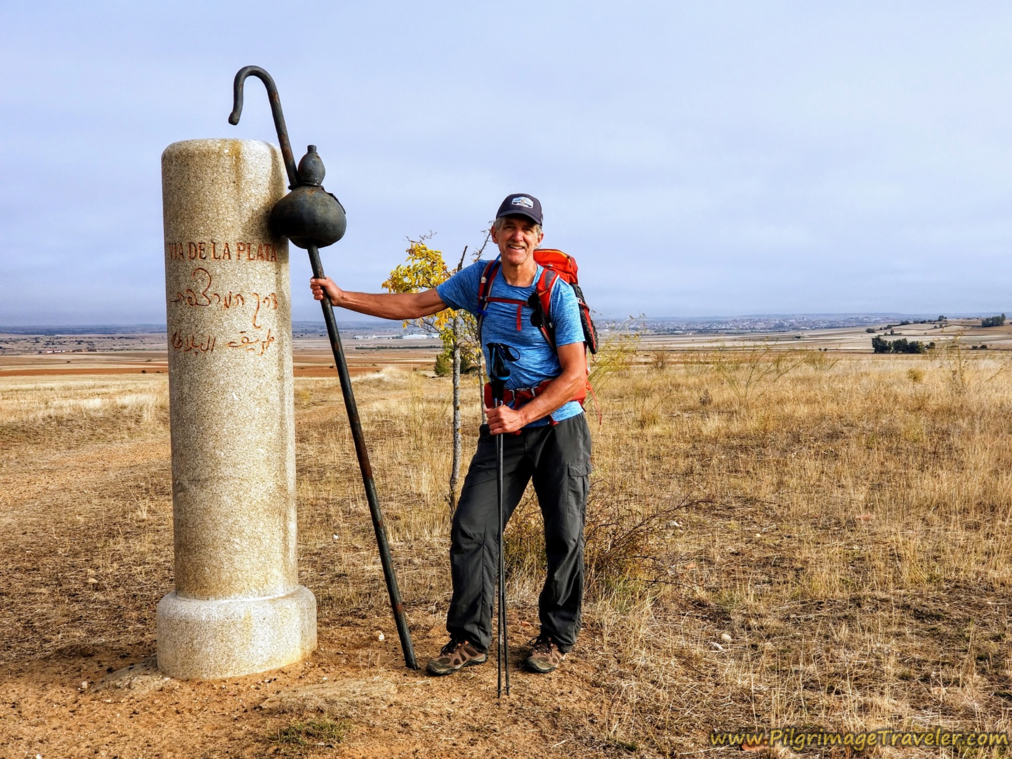


~ Camino Sanabrés Stages
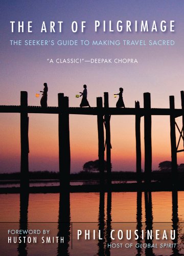
My absolute favorite book on how to be a pilgrim:

On the Camino Sanabrés ~
Please Consider Showing Your Support
Many readers contact me, Elle, to thank me for all the time and care that I have spent creating this informative website. If you have been truly blessed by my efforts, have not purchased an eBook, yet wish to contribute, I am exeedingly grateful. Thank you!
Search This Website:
The Pilgrimage Traveler Digital Guides
Our Guides Help You:
~ Know what to expect each day!
~ Locate historic sites along the Way!
~ Know where you are in your journey!
~ Discover a quote from the sages, for your daily reflection on the journey!
Click on a Photo Below to Get Your Copy.
A most popular alternative on the Central Route of the Camino Portugués!👇

The Portuguese Routes are rapidly gaining in popularity, especially the section from Lisbon! Plan to walk this one soon, before it is no longer a quiet experience!👇
Our most popular Portuguese guide! 👇
The most historic of the Portuguese Caminos ~ not to be missed!👇
The spiritual adventure of a lifetime, following in the footsteps of St. Teresa of Ávila!👇
The amazing mountain route alternative, the Camino Sanabrés, from Granja de Moreruela on the Vía de la Plata!👇
The most incredible mountain scenery on this camino from Leon to Oviedo!👇
The shortest of the caminos, but not easy!👇
The very first, Original Way from Oviedo to Santiago!👇
The pilgrimage to the "End of the World" ~ The perfect add-on to your camino!👇
All Banners, Amazon, Roamless and Booking.com links on this website are affiliate links. As an associate of these companies, the Pilgrimage Traveler website will earn from qualifying purchases when you click on these links. We have used and love all of our product recommendations and believe you will too! We sincerely thank you!

🙋♀️ Why Trust Us at the Pilgrimage Traveler?
We’re not a travel agency ~ we’re fellow pilgrims! (See About Us)
We've trekked Pilgrimage Routes Across Europe since 2014!
💬 We’ve:
- Gotten lost so you don’t have to. 😉
- Followed waymarks in the glowing sunlight, the pouring rain and by moonlight. ☀️🌧️🌙
- Slept in albergues, hostels & casa rurals. Ate and drank in cafés along the way. 🛌 😴
- Created comprehensive and downloadable GPS maps and eBook Guides, full of must-have information based on real pilgrimage travels. 🧭 🗺️
- Shared our complete journeys, step by step to help YOU plan your ultimate pilgrimage and walk with your own Heart and Soul. 💙✨
Every detail is from our own experiences. Just fellow pilgrims sharing the Way. We have added a touch of spirituality, heartfelt insights and practical guidance from the road ~ offering a genuine connection to the spirit of pilgrimage. Tap into the wisdom of seasoned pilgrims!
Ultreia and Safe Pilgrimage Travels, Caminante! 💫 💚 🤍
Follow Me on Pinterest:
Find the Pilgrimage Traveler on Facebook:

Shroud Yourself in Mystery, along the Via de Francesco!
Walk in the Footsteps of St. Francis, and Connect Deeply with the Saint and to Nature in the Marvelous Italian Countryside!
Need suggestions on what to pack for your next pilgrimage? Click Here or on the photo below!


Carbon Trekking Poles ~ My Favorites!

Carbon fiber construction (not aluminum) in a trekking pole makes them ultra lightweight. We like the Z-Pole style from Black Diamond so we can hide our poles in our pack from potential thieves before getting to our albergue! There are many to choose from! (See more of our gear recommendations! )
Gregory BackPack ~ My Favorite Brand


Do not forget your quick-dry microfiber towel!