- ~ Home
- ~ Camino Sanabrés (The Sanabrés Way)
- Puebla de Sanabria to Lubian, Day Six
Jump to Camino Sanabrés Stages
Camino Sanabrés, Puebla de Sanabria to Lubián, Day Six, 27.7 Kilometers (17.2 Miles)
Disclosure: the PilgrimageTraveler.com is an associate of Booking.com, Roamless, and Amazon. As associates of these merchants, we earn from qualifying purchases from our links.
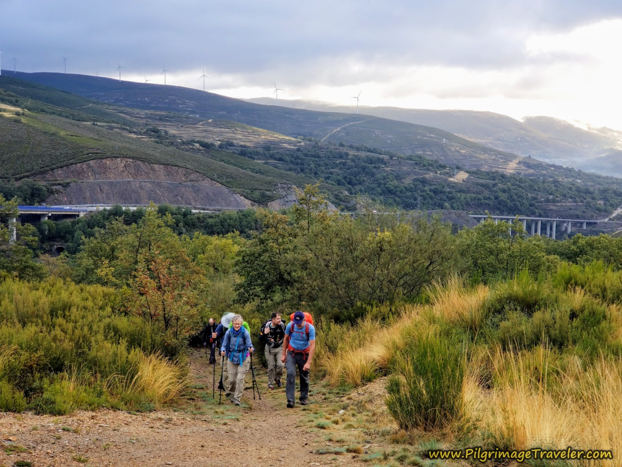
On day six of the Camino Sanabrés from Puebla de Sanabria to Lubián, the very recent route changes have been dramatic. There are now many choices on how to arrive at the Alto de Padornelo, the first real mountain pass on the Camino Sanabrés, as you shall see.
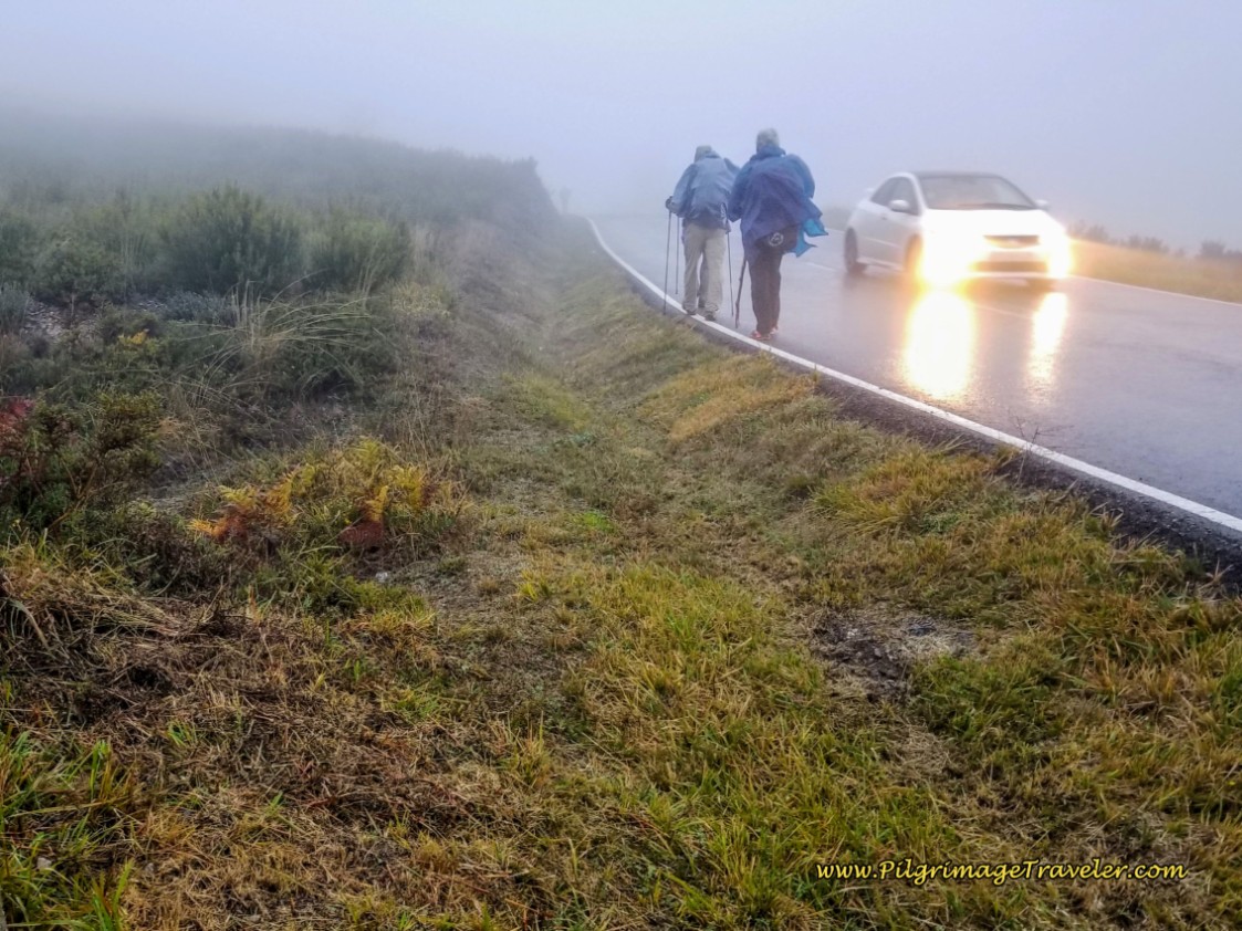
Our day six was a rain-soaked day, with a long section on the highway, the N-525, because of the rain. As with any day, on a clear day this walk would be much more enjoyable.
🙋♀️ Why Trust Us at the Pilgrimage Traveler?
We’re not a travel agency ~ we’re fellow pilgrims! (See About Us)
We've trekked Pilgrimage Routes Across Europe since 2014!
💬 We’ve:
- Gotten lost so you don’t have to. 😉
- Followed waymarks in the glowing sunlight, the pouring rain and by moonlight. ☀️🌧️🌙
- Slept in albergues, hostels & casa rurals. Ate and drank in cafés along the way. 🛌 😴
- Created comprehensive and downloadable GPS maps and eBook Guides, full of must-have information based on real pilgrimage travels. 🧭 🗺️
- Shared our complete journeys, step by step to help YOU plan your ultimate pilgrimage and walk with your own Heart and Soul. 💙✨
Every detail is from our own experiences. Just fellow pilgrims sharing the Way. We have added a touch of spirituality, heartfelt insights and practical guidance from the road ~ offering a genuine connection to the spirit of pilgrimage. Tap into the wisdom of seasoned pilgrims!
Ultreia and Safe Pilgrimage Travels, Caminante! 💫 💚 🤍
Quote for Day Six on the Camino Sanabrés, Puebla de Sanabria to Lubián
My sorrow, when she's here with me, thinks these dark days of autumn rain are beautiful as days can be; she loves the bare, the withered tree; she walks the sodden pasture lane. - Robert Frost, American Poet
Today's walk was a long one, with on again, off again rain, on "sodden" lanes. I had been dreading this day because I knew that a large portion of the Way would require walking on the shoulder of the N-525. Ugh.
Our experience to end the day was not pleasant either, as I will relay below. Despite all this, as I walked, I managed to carry little real or lasting sorrow. It was a day that needed to be done, as an experienced pilgrimage traveler well knows.
We would soon know if we, as a group, would meet the day's challenge of walking in the rain! It was our first Camino day with weather as such. Most of all the other days were quite hot and dry, so it was a true shift, especially with our Camino newbies walking a long distance in the rain for the first time.
Maps and Stats of Day Six on the Camino Sanabrés, Puebla de Sanabria to Lubián
Here is the Google interactive map from the GPS tracks for the day. As you can see from the services I placed on the map, there are sufficient opportunities for a café con leche along the way, the first in Requejo at 11 kilometers, and the second in Padornelo, at 21.
There are also tiendas, and pharmacies in these larger towns, so you can stock your pack as needed. Be advised that the municipal Albergue de Peregrinos in Requejo does not have a kitchen, but the Albergue de Peregrinos de Lubián does.
The AVE (Alta Velocidad Española) construction has finally been completed in this area. As you can see by the map below, what was once the only choice was the red route, entirely along the N-525 national highway from Requejo to Padernelo. This route is the one we took, but it may not be the best for you. Except in the case of lots of rain or snow melt, the blue route may be best.
On the highway route, there is a tunnel at the top of the pass, that many pilgrims are frightened by, despite a small available walkway. I will describe the orange alternatives where you can bail before this highway tunnel, if you choose the highway route. However, we didn’t find the tunnel all that frightening! Continue to the photos below, and you can make your own choice.
The route that I show in blue, from Requejo to Alto de Padernelo, is the newly reopened historic River Route that completely avoids the highway to the top of the pass, joining it only in the final meters on the other side into Padernelo. As you can clearly see in the maps below, the blue route is a bit shorter, however, because it is on steep trails through the Bosque de Tejedelo, or the Tejedelo National Forest, it may not be easier!
While I have not walked the river route yet myself, since it is new (the GPS track of this portion of the blue route is from Wikiloc and I cannot guarantee its accuracy), viewing the elevation changes, it would be direct, steep and sodden in rainy conditions. The streams you need to cross may also be a challenge and the water runoff after rain and snow, significant.
You may want to ask the locals in the bars in Requejo what the current conditions of the River Route are before you walk it.
The day’s elevation change is significant for the first time on the Sanabrés, shown below for the blue route (The highway route's elevation profile is surprisingly almost identical, so I have not included a photo of it, and it also adds only a few hundred meters in distance). From the low to the high is a difference of 463 meters (1519 feet). As you can see from the elevation profile below, the first third of the day is relatively flat until the mild climb into Requejo at about 11 kilometers. That is the little hump you see on the profile.
Then it is a long, steeper walk uphill for the second third of the day, until you reach the Alto de Padornelo at 1356 meters (4448 feet), followed by a steep downhill walk into Lubián, losing almost the entire day's gain.
👣 Camino Sanabrés EBook:
Offline Guide with Bonus Route
~ Includes 4-5 additional days on the Vía de la Plata from Salamanca!
Walk smarter with our ad-free, beautifully formatted Camino Sanabrés eBook Guide, perfect for offline use ~ important in the mountainous and remote areas. Includes daily stage details, stunning photos, historical background and a BONUS digital guide on the Vía de la Plata from Salamanca, called the Camino Fonseca. This allows you the opportunity to add 4-5 more days to your Camino in the beginning.
Don't carry a hard copy guide book to increase your pack weight. Use our frequently updated digital guide on your next Camino instead!
📲 Instant download. 💸 Money-back guarantee. 🔄 Free updates for 1 year.
👉 Click here for more info or BUY NOW!
Jump to Camino Sanabrés Stages
Photo-Rich Travelogue for Day Six on the Camino Sanabrés, Puebla de Sanabria to Lubián
We woke up to a day of pouring rain. We were a bit somber as we prepared our breakfast in the Albergue Casa Luz, (remember this albergue is currently closed). Unsure of what the day would bring, we looked at one another, with questions on our face, yet we knew the answer - it was a day that needed to be walked. I tried to encourage the Camino newbies, but I couldn't even convince myself, let alone others, that walking in the weather would be alright.
We set out at 8:30 in the morning, after the worst of the rain had passed. The Casa Luz keeps its front door locked, so we exited out the back door, to rejoin the Calle Salgado a few meters later.
We crossed the bridge over the Río Tera with the castle looming above, and turned right at the bottom of the fortress hill and onto the Avenida Galicia. See day five for a photo of this bridge, and the interactive map above for its exact location.
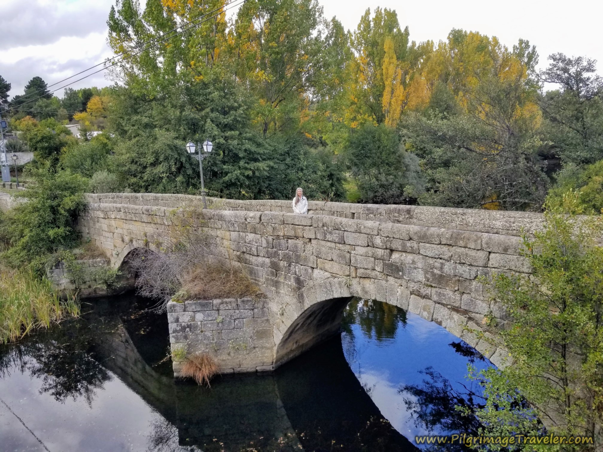
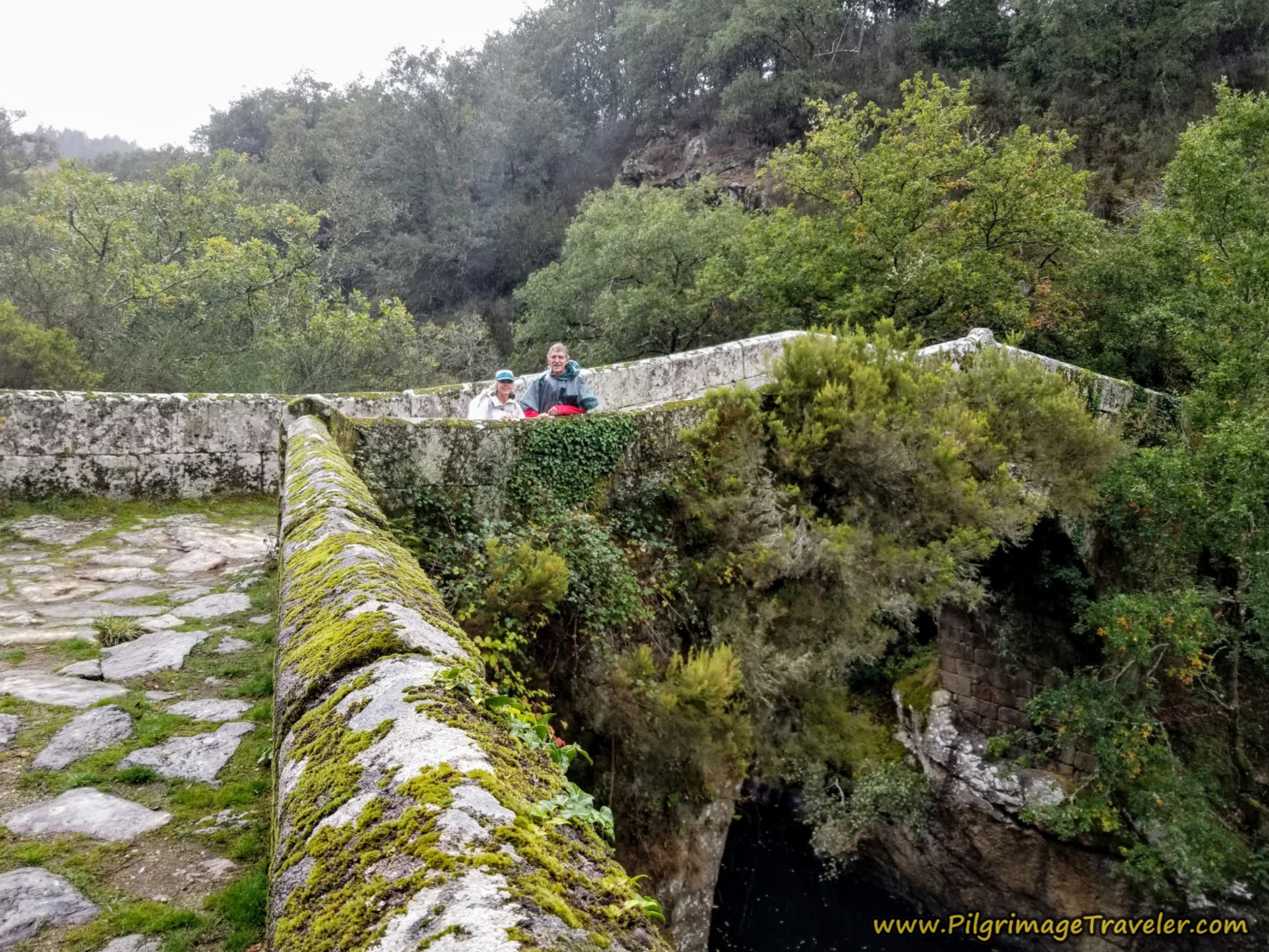
After we rounded the fortress hill, following the path of the river, we came to this medieval bridge to the right of the road after almost one kilometer from the albergue. Rich shot this photo of me on the bridge, the day before during the daylight. Otherwise, it would have been a gray and dreary shot.
You will know you are at the medieval bridge when you see this white pylon that Rich is standing in front of, in the photo below. Otherwise, if you didn't know it was here, you could easily walk right on by it, especially if you started out in the dark. Or better yet, see it the day before in the daylight. It is a delightful old bridge.
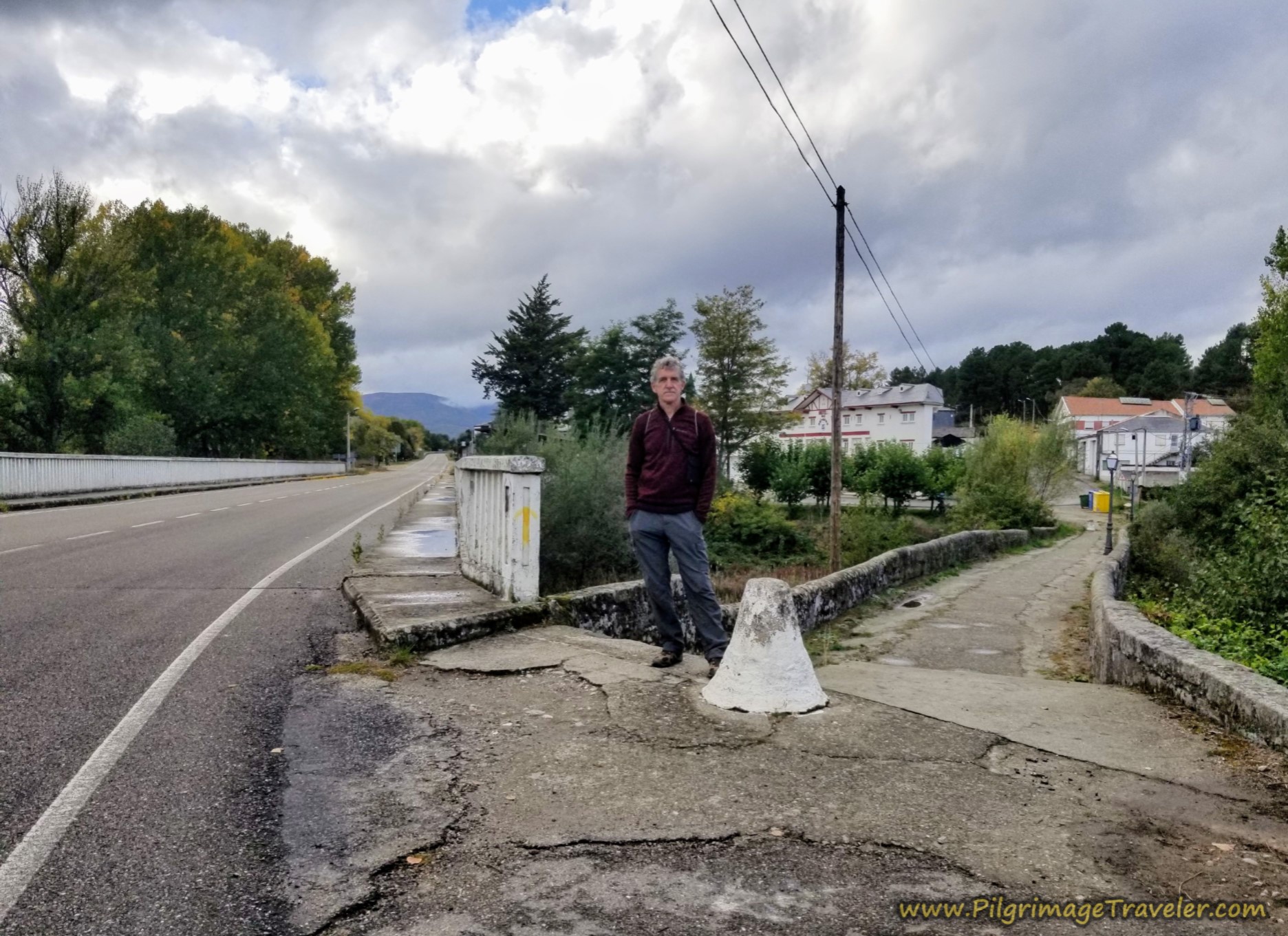 Rich at the Entrance to the Medieval Bridge
The morning was nice and cool, and fortunately only lightly raining as we walked through this area.
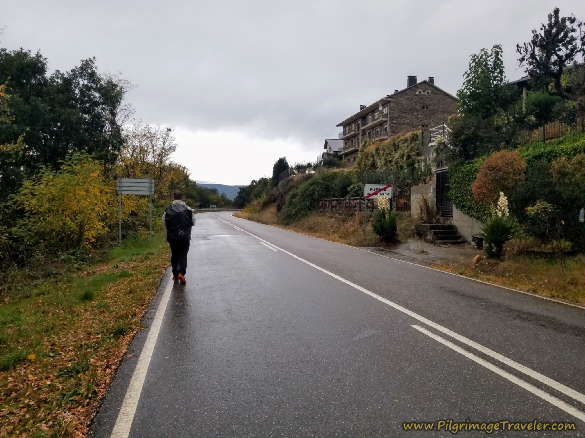 Along the Avenida Galicia
After not quite two kilometers, you take a left hand turn off the highway and onto this lane.
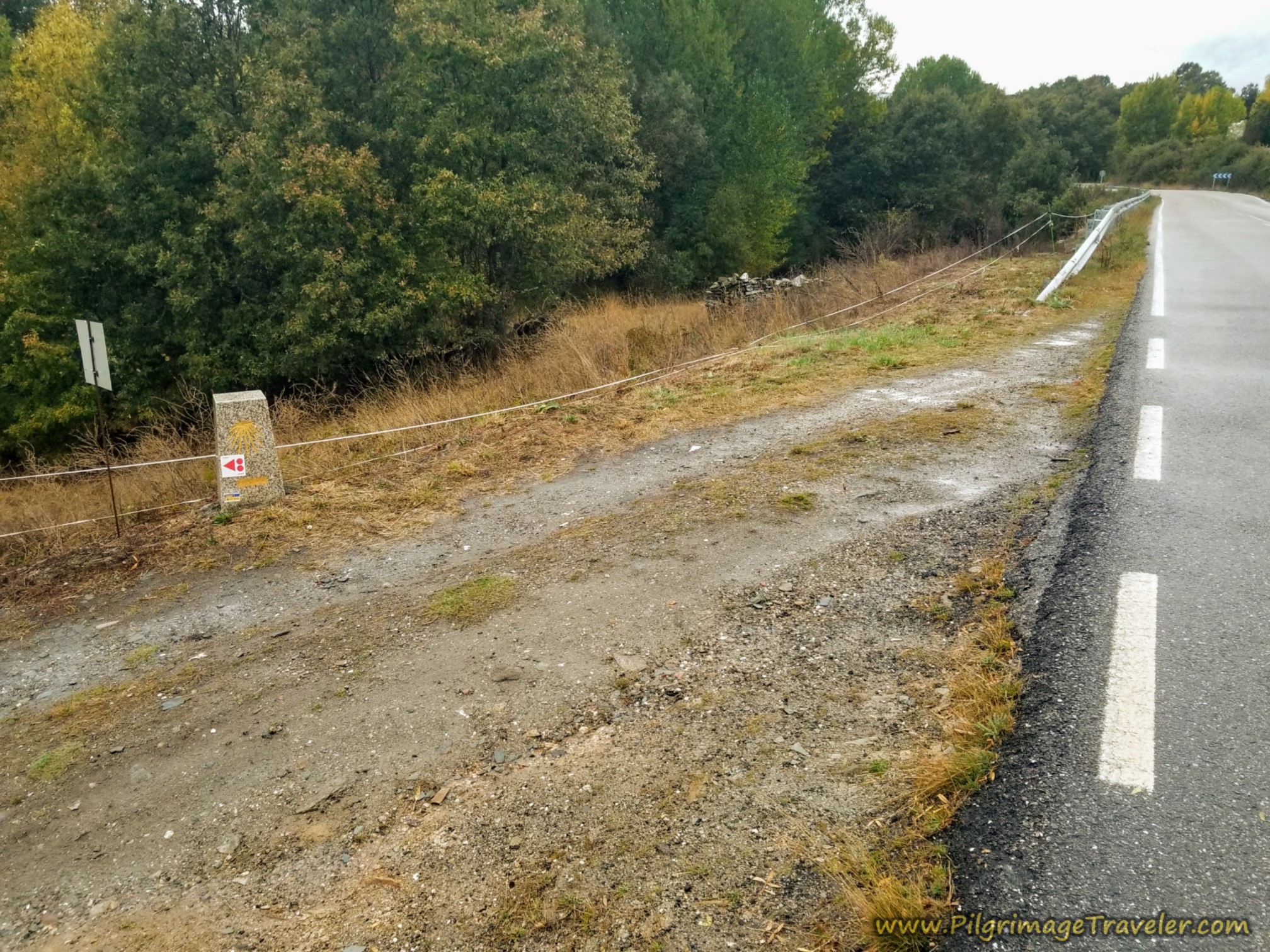 Left Turn Onto Path Off Highway
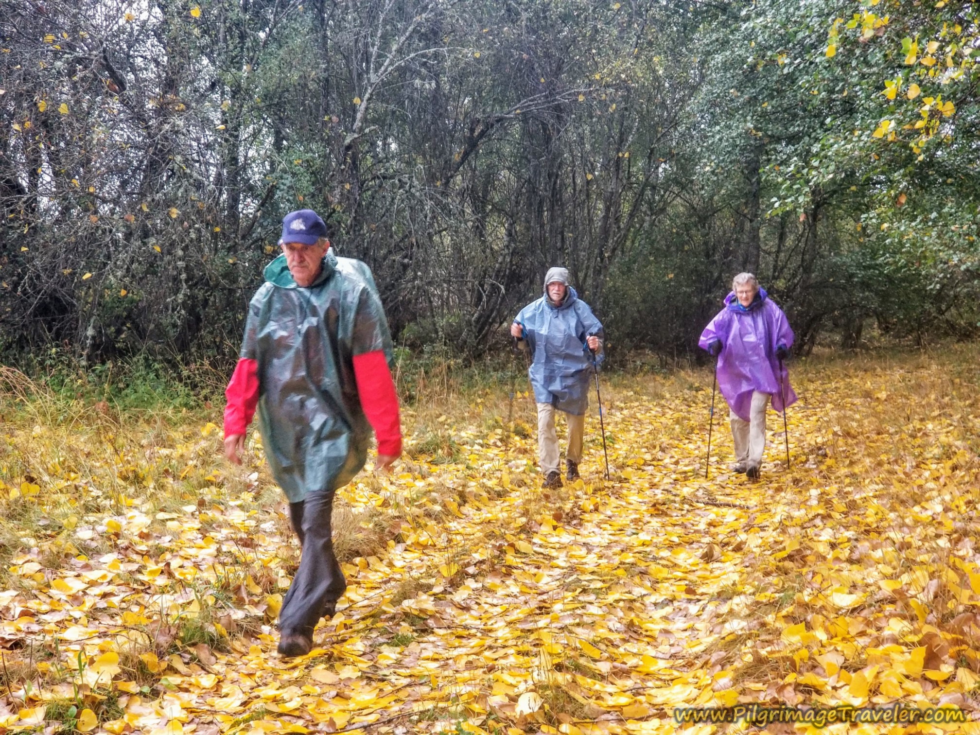
Our group of four had picked up a new friend, Miguel from Madrid shown here taking the lead. He was eager to be with us, as Americans and his English was superb. He is a nurse in a Spanish military hospital, and it was interesting swapping stories with him.
Because we had rested one day, most of the pilgrims that we met were now new faces, as the familiar ones had gone on already. Miguel was a new, fresh face.
As we were to learn later, his wife was home pregnant with their first child, due in only a few months, and he was instructed to "walk with the Americans" instead of walking alone. His family was worried for him and since he was going to have a family he was instructed to take care of himself for his family! How sweet!
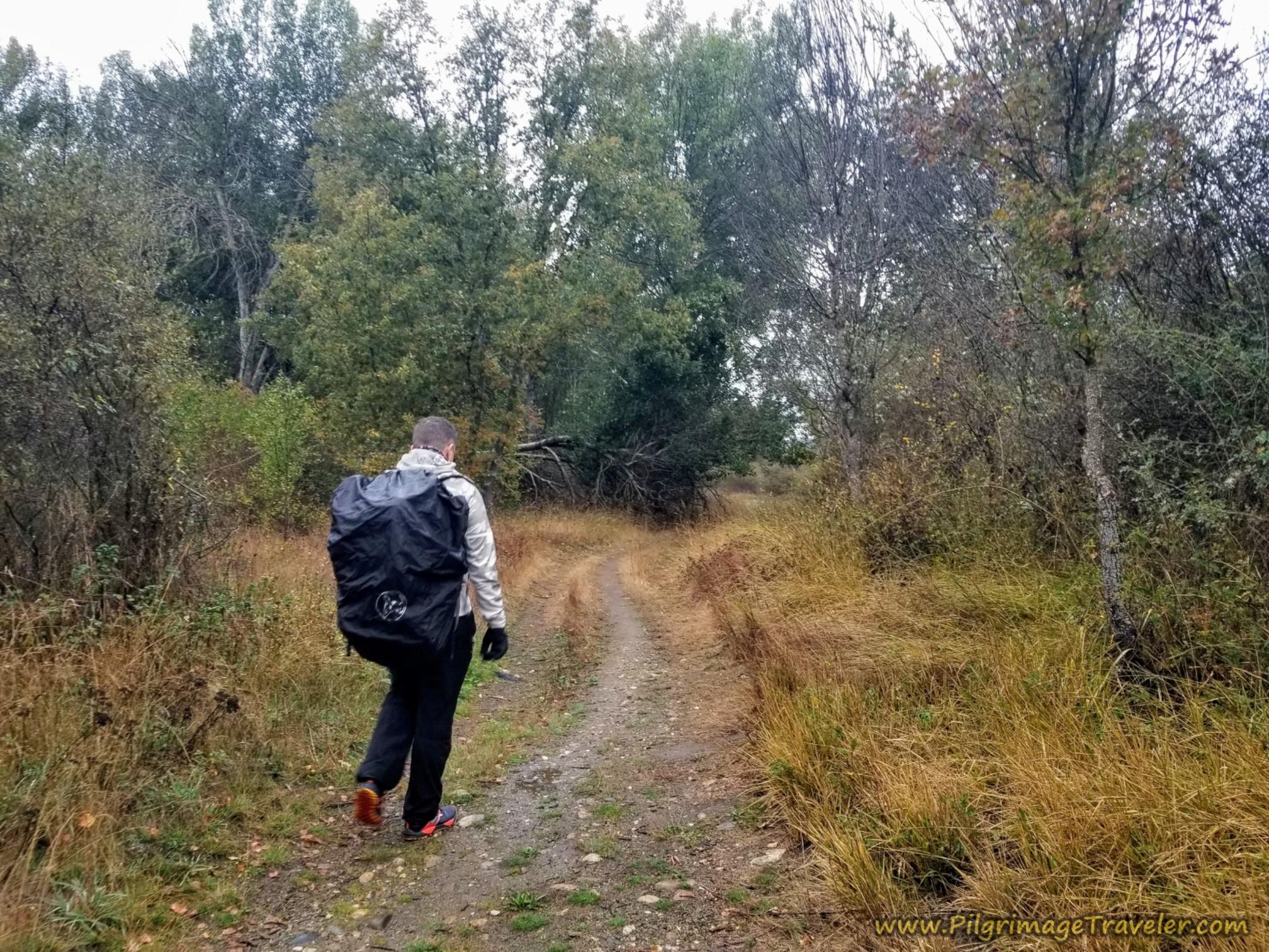 Miguel Walking Along the Lane
Through the next section, the Camino path follows the cut of the Río Castro for the next several kilometers.
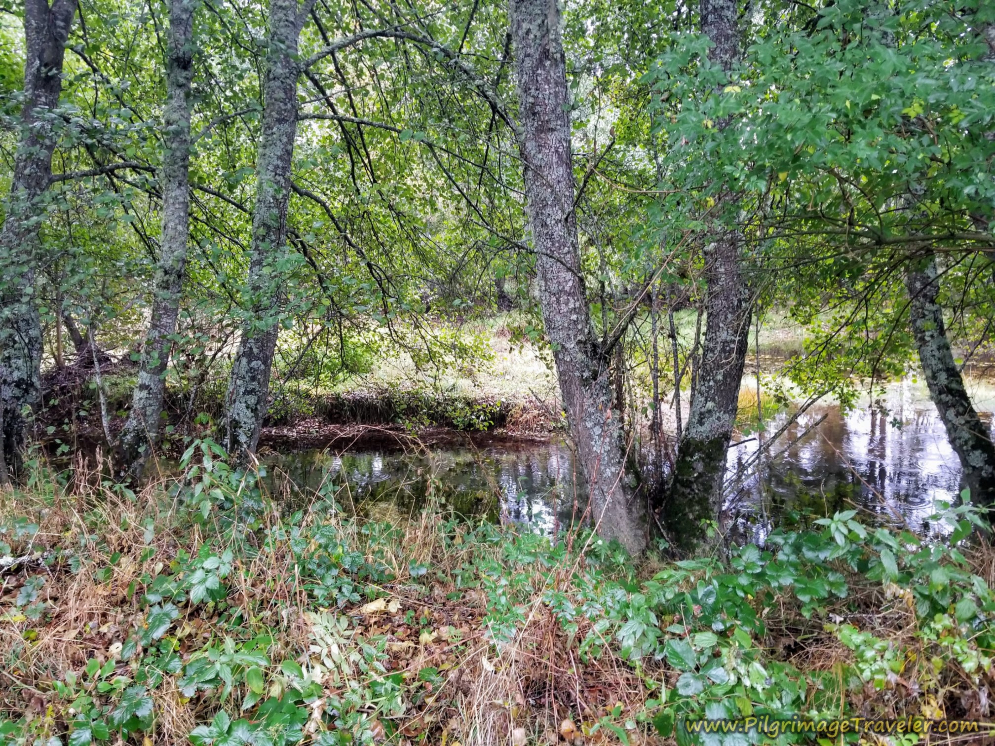 Path Follows the Río Castro
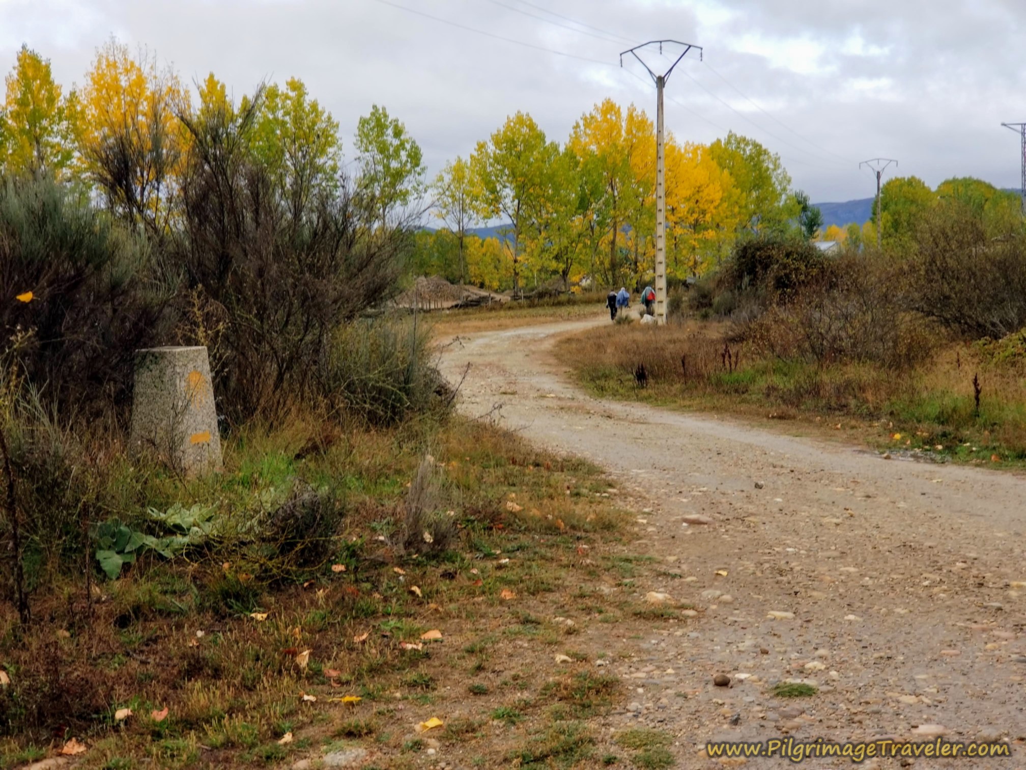
In October, we started to see some glorious color as we walked along the river. Soon, pass the 247.571 kilometer waymark!
Upon breaking out from the trees, we could see the open sky. It looked like it was getting darker.
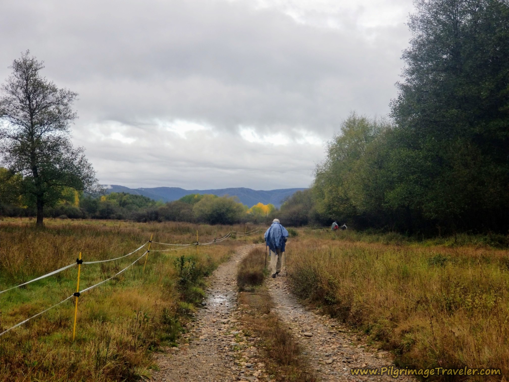 The Sky Darkens
We came to a T-intersection after approximately 3.7 kilometers, where we were directed to turn left, and soon we passed by this old, ruined, stone structure.
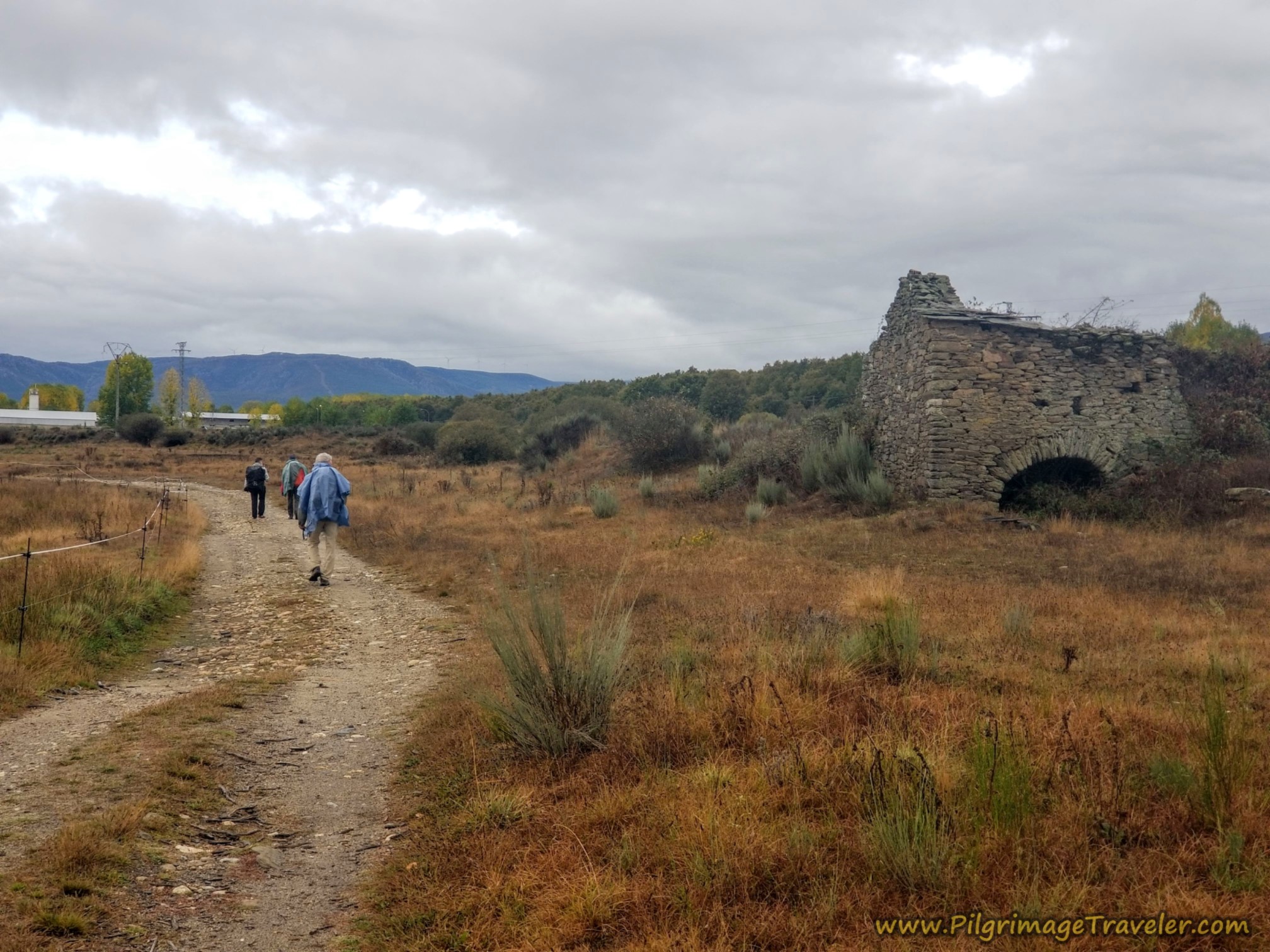 Pass a Ruined Stone Building
The three gentlemen jaunted merrily ahead and I hung back with Nadine. She was moving slower than the rest of the group, and I decided I would take my turn to stay close with her.
By kilometer 4.25, we came to an intersection and what looked like a gravel pit, but it was a construction business. Surprisingly, despite the dark sky, the rain had stopped, and we took off our ponchos.
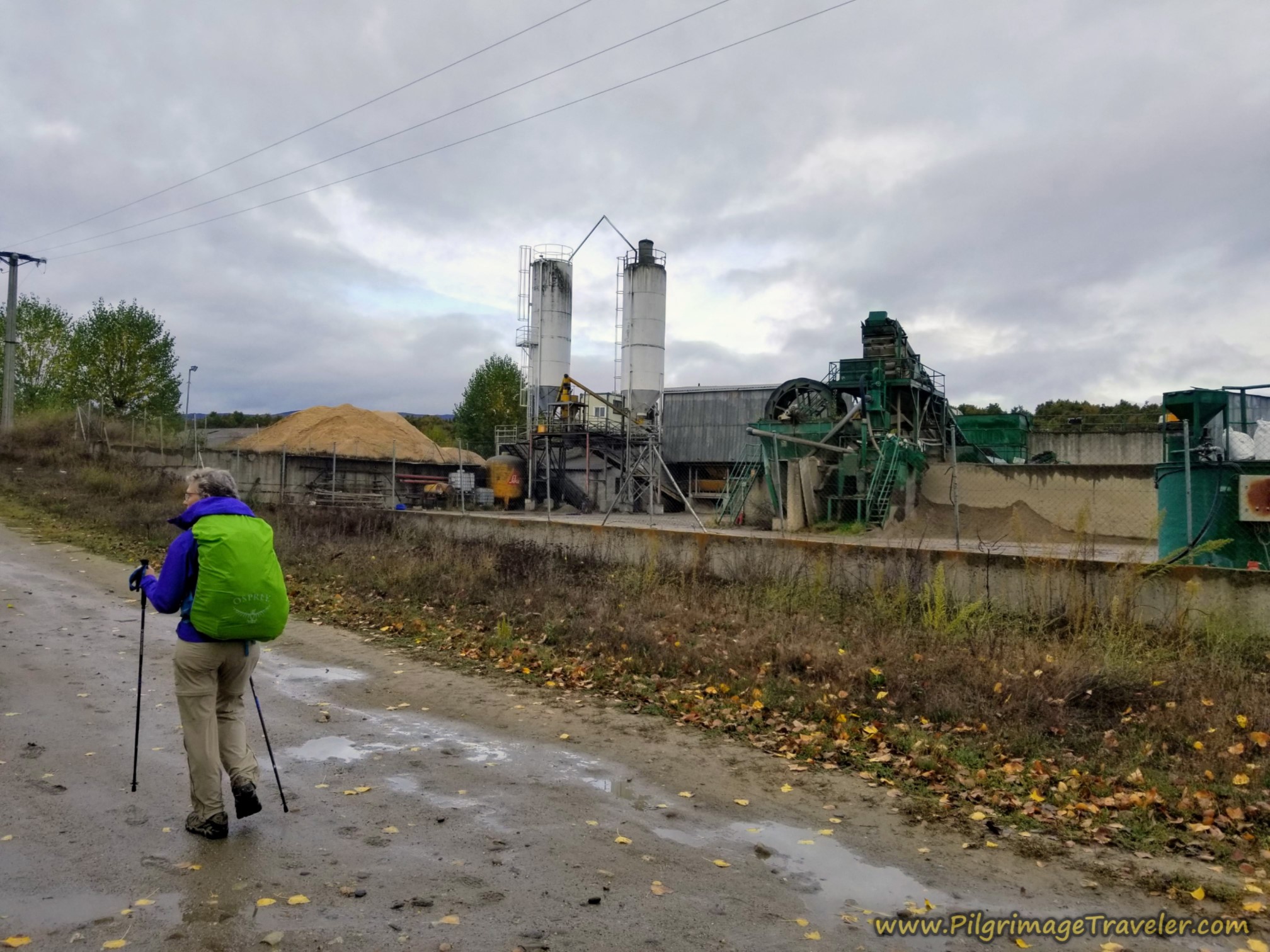 Pass Construction Complex
After 4.75 kilometers and after a bend in the lane, we came to an intersection with the N-525 and turned left, on the Camino Sanabrés from Puebla de Sanabria to Lubián.
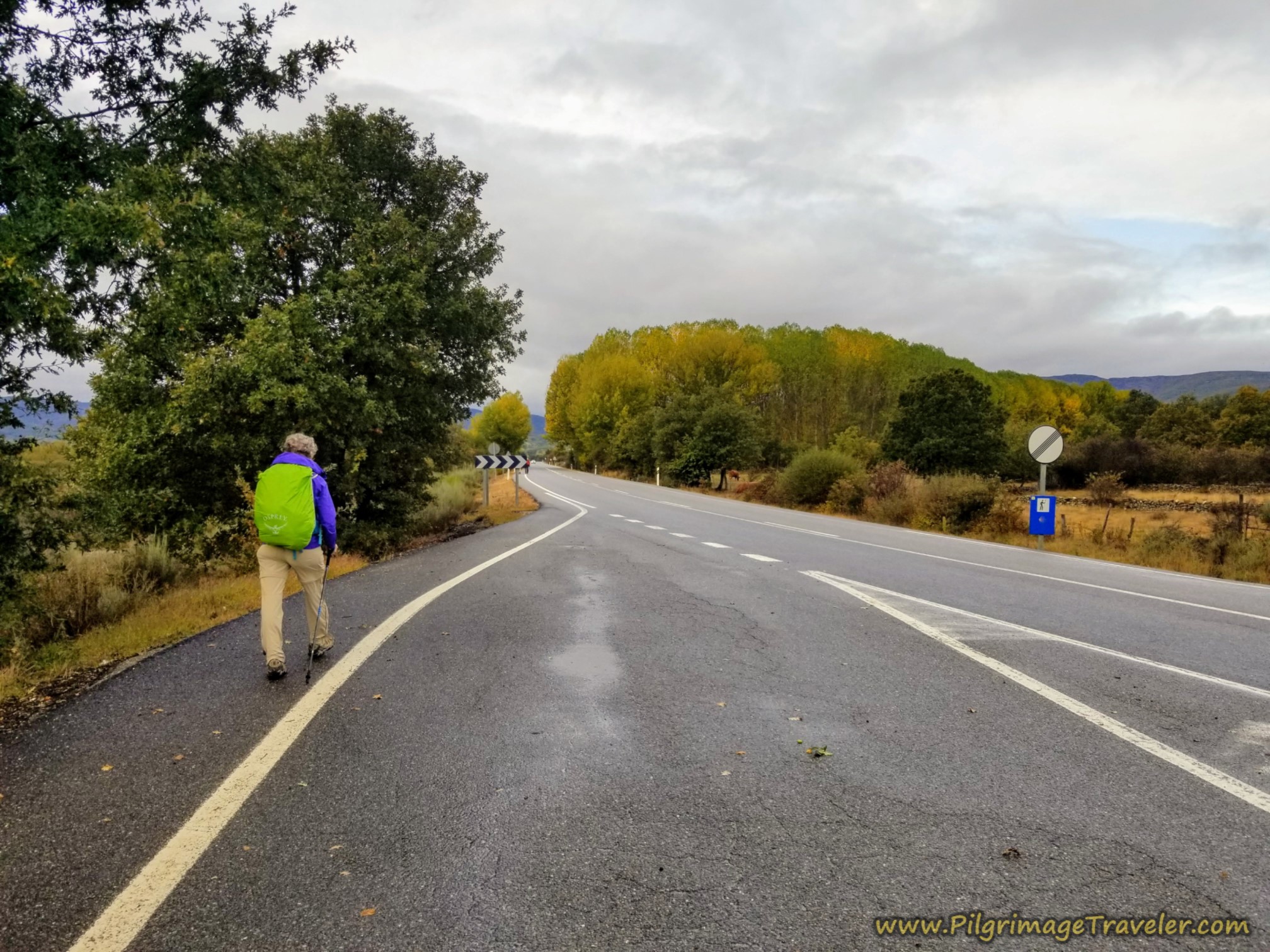 Back on the N-525
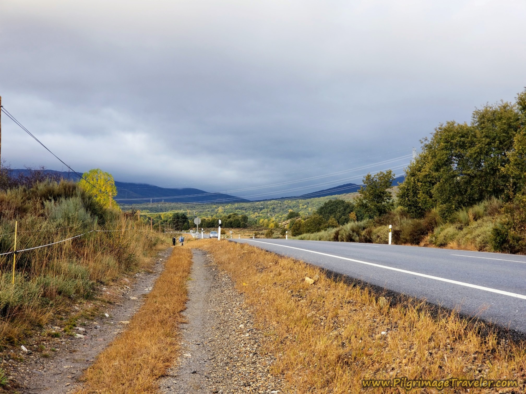
By about kilometer 5.14, after walking on the highway shoulder for about 1/3 kilometer, we picked up a parallel lane, that you can see in the distance in the photo below.
This parallel lane was much better than walking upon the shoulder, not to mention safer! We could chat with one another, as well, as we walked side-by-side on the two-track lane.
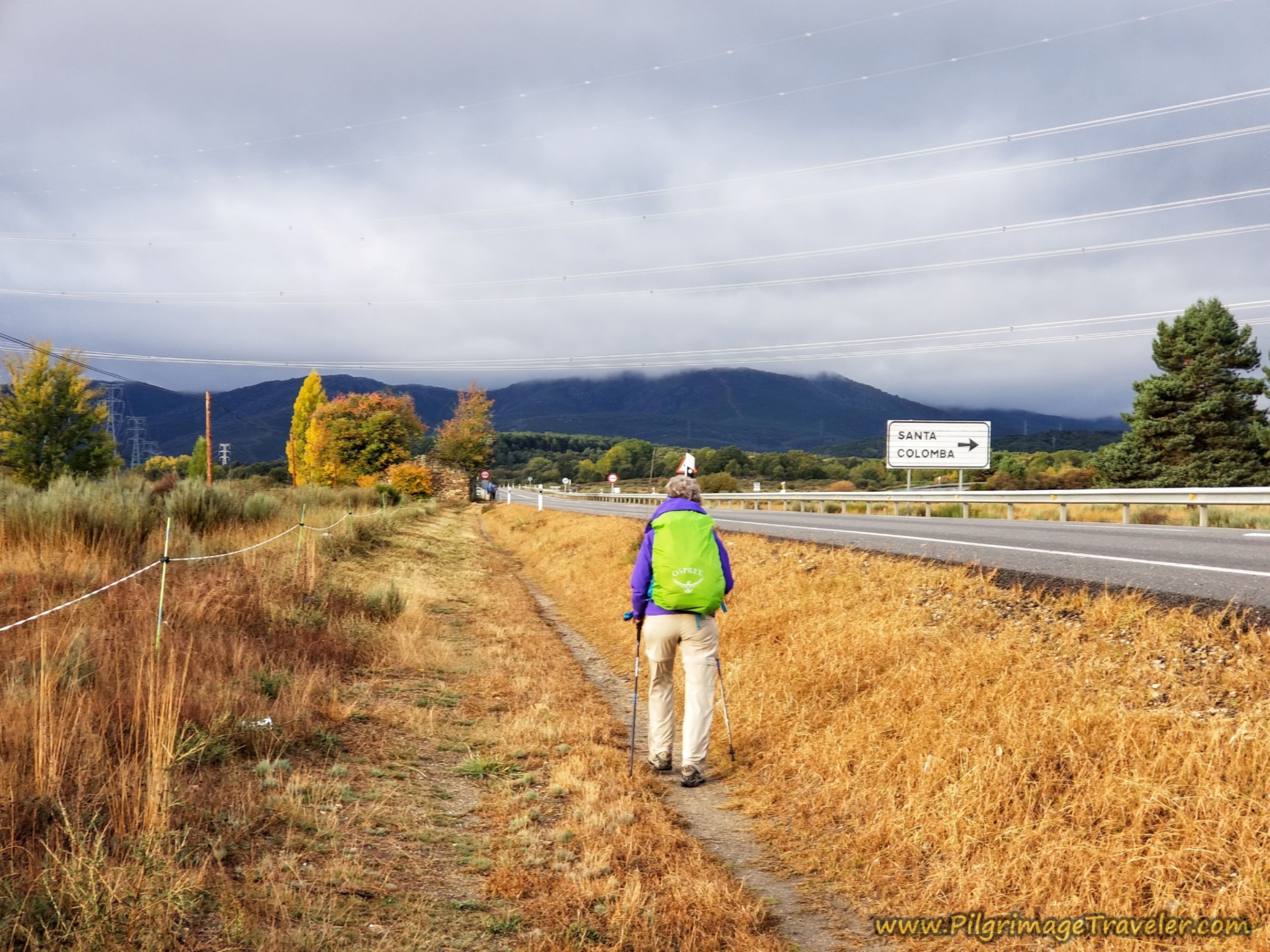
The two-tracks slowly peter out to a one-track and by about kilometer 6.03 you pass a stone building that you can just see ahead in the photo below, on the Camino Sanabrés from Puebla de Sanabria to Lubián.
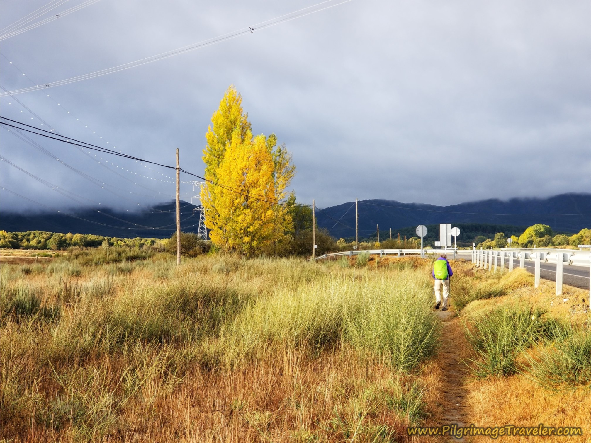
As you can now see, the sun was trying to poke through the clouds and made for some very beautiful lighting.
Jump to Camino Sanabrés Stages
After about 6.5 kilometers and after two-and-a-quarter kilometers walking along the N-525, you leave the parallel path and continue to the left, on a farmers lane, that runs to the left of this power line, shown below.
This is not a well-marked turn. There was only this one small wooden arrow, shown in the photo below. If you miss this turn, it's no problem, as the Way joins the N-525 again in about another 1.2 kilometers!
In fact, many pilgrims choose to stay straight here, for a less scenic, but shorter route, by about 400 meters. Make you own choice!
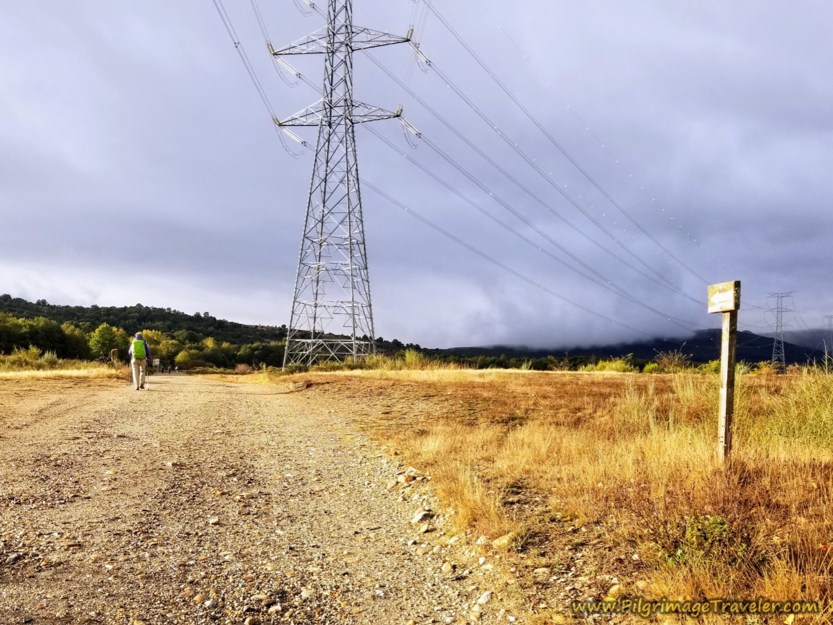 Leave the Highway
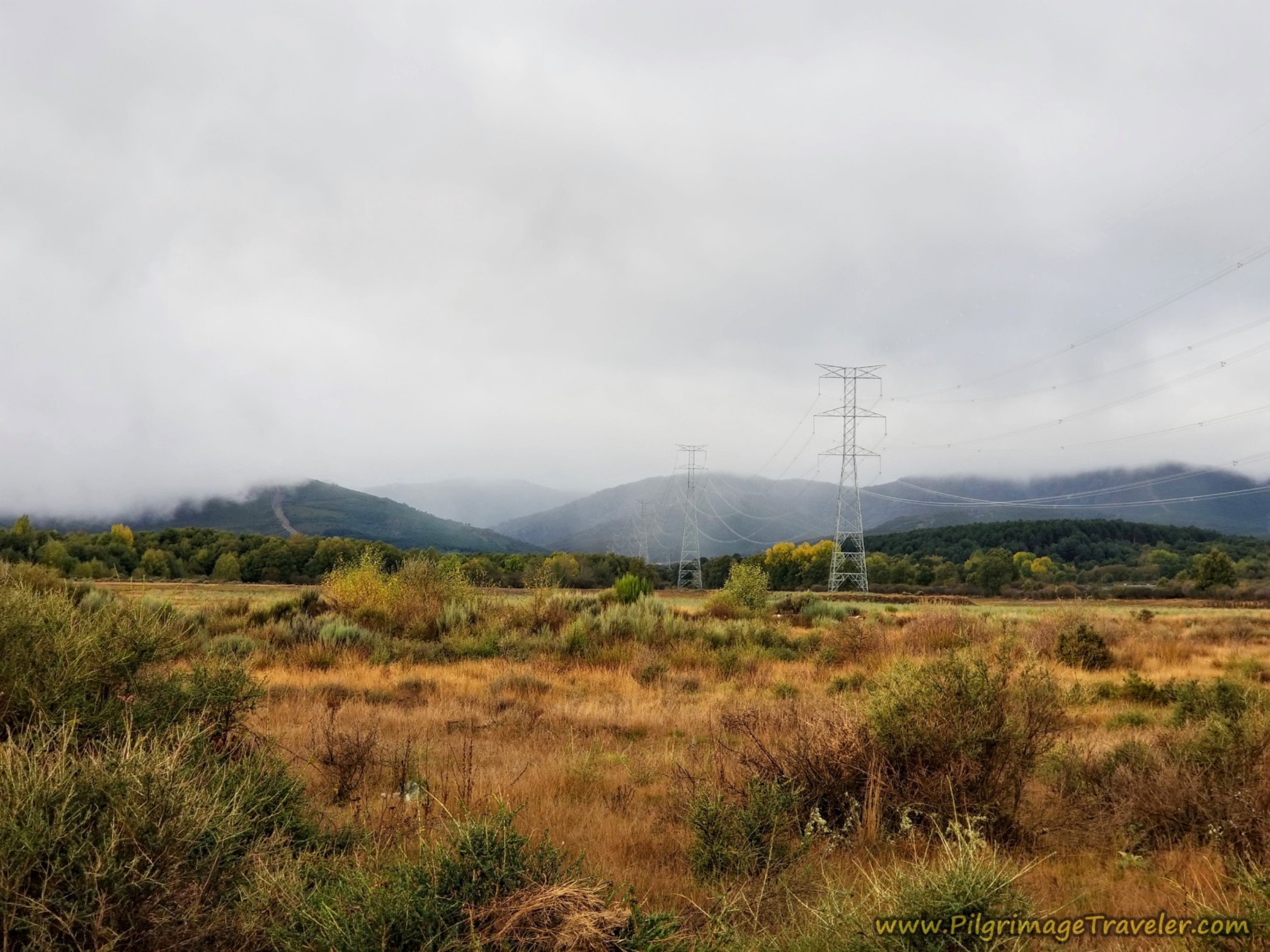
There was a certain beauty watching the misty clouds roll in from higher in the mountains, towards us. This beauty eased the uncertainty of the weather to come, just a bit. But I knew the worst was yet to come as we had to climb into those very mountains.
The lane ahead led us southward again, and back towards the Río Castro. By the river, we passed this Fisherman's Refuge.
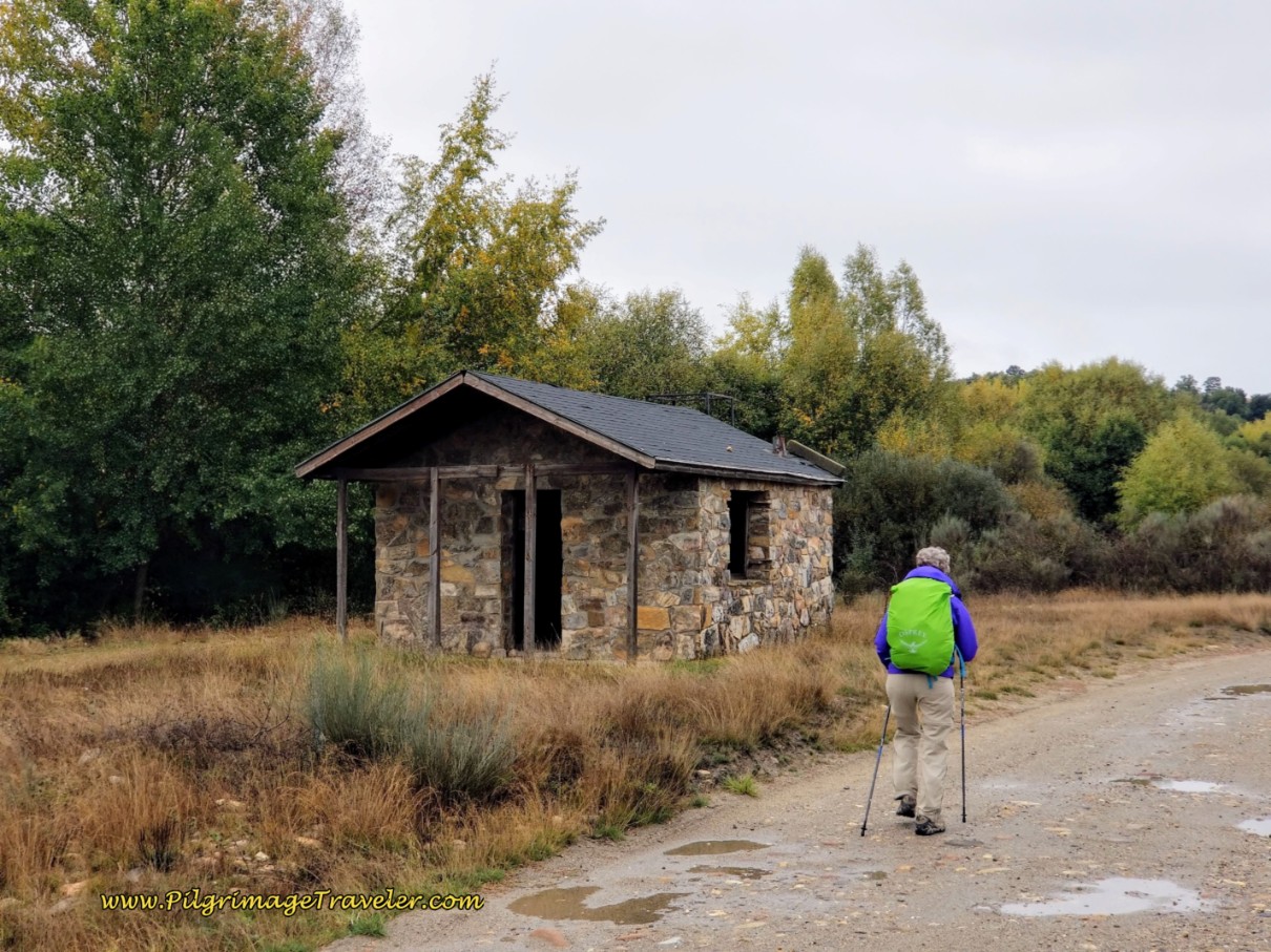 Pass Fishing Refuge
After following near the river for less than one kilometer, and after about 7.4 kilometers total, the Way turns to the right on a bend waymarked by yellow arrows. Here you get onto a trackway that becomes quite faint, shown below. There are two tracks in the grassy lane. I was a bit worried we had gotten off-Camino, and it was starting to drizzle again, so I did not want to be lost!
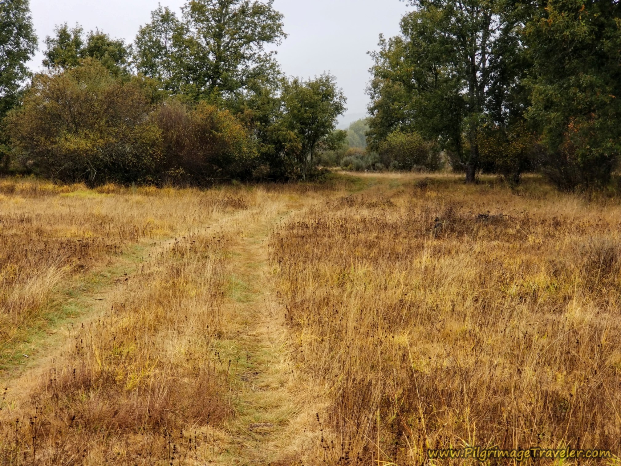 Lane Becomes Grassy and More Obscure
Just when I thought the tractor tracks were going to peter out, the trackway takes a large bend back towards the right (north) and we could see the N-525 ahead once again. The trackway intersects with the highway, after about 8.08 kilometers, with clear Camino waymarking to the left. The stretch of highway this time is not even 1/2 kilometer, fortunately.
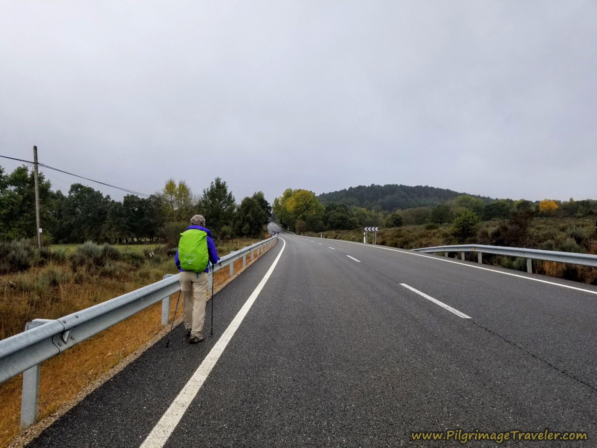 On the N-525 Again
After about 8.5 kilometers, just after passing a big blue Camino sign, you turn right and northward onto this road, on the Camino Sanabrés from Puebla de Sanabria to Lubián.
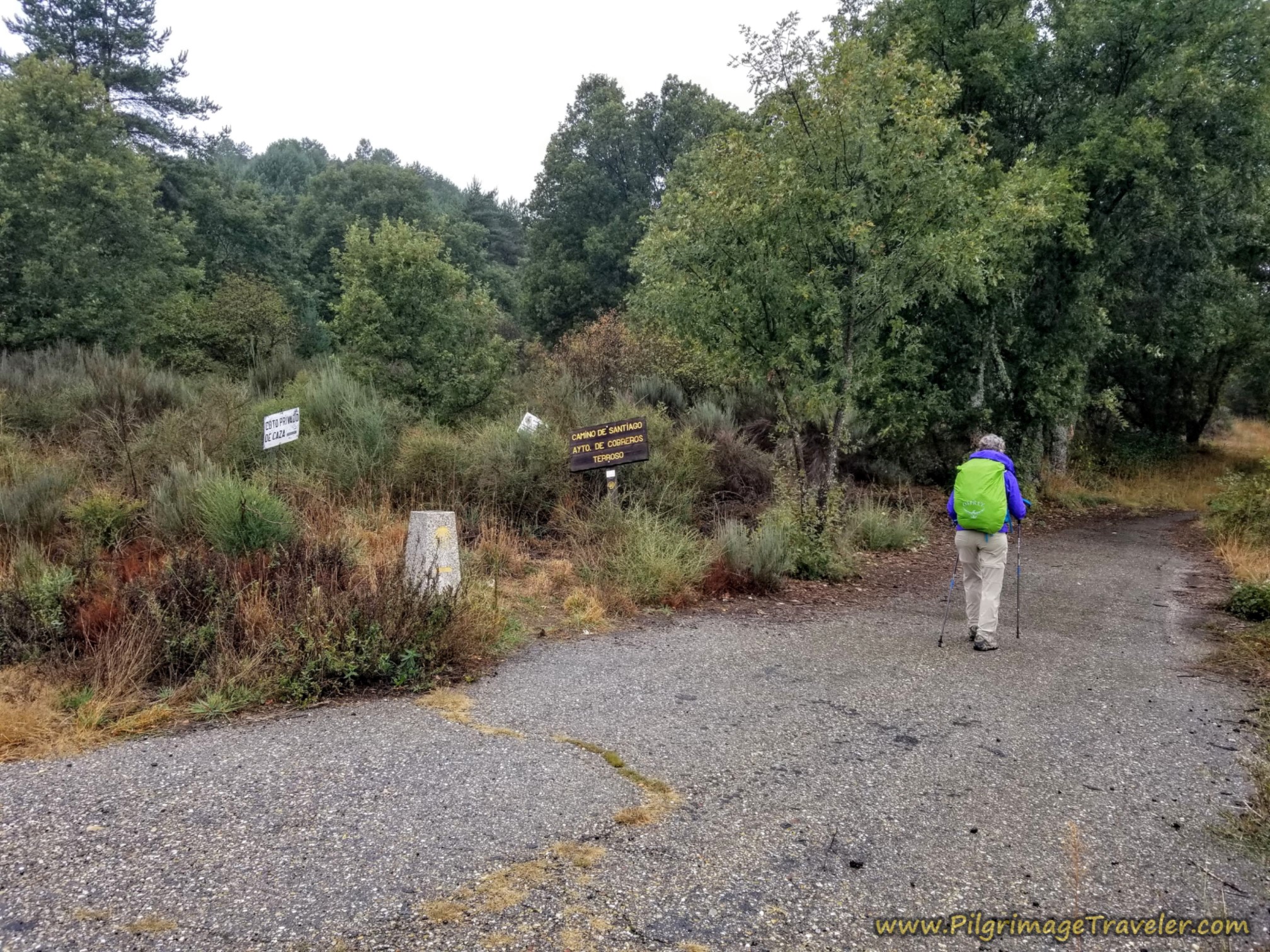 Path Turns North of the N-525
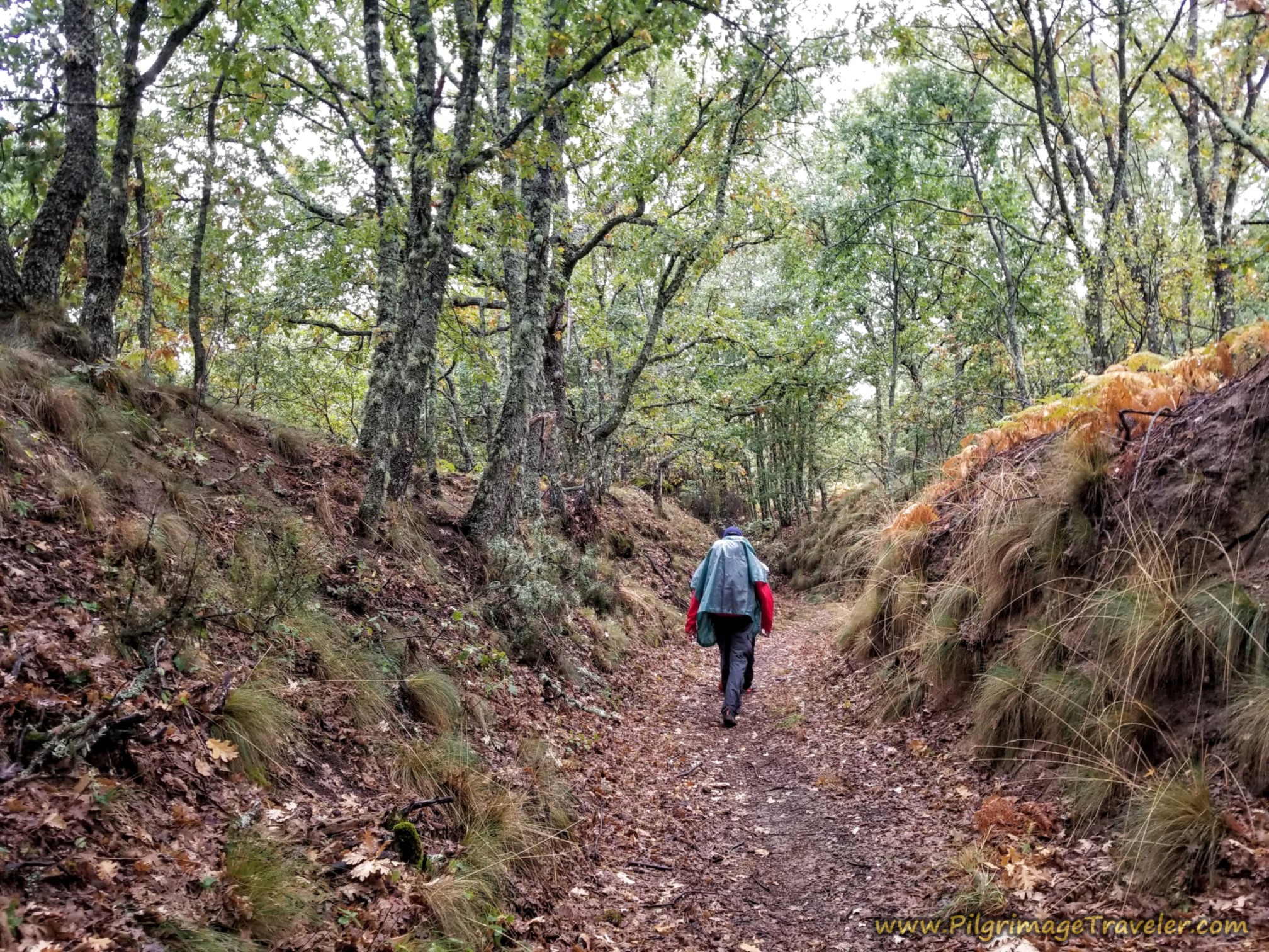
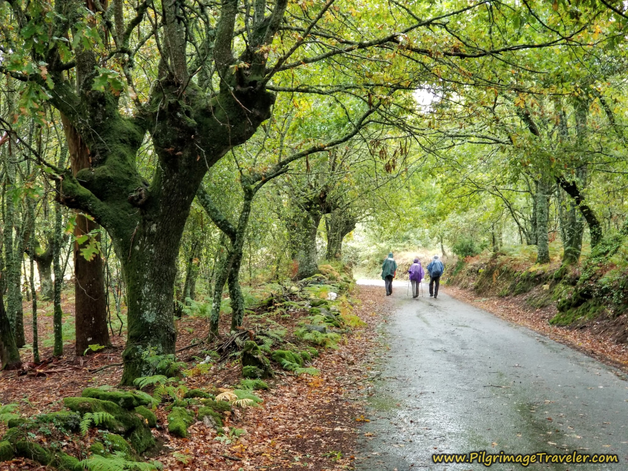
The road soon loses the asphalt and becomes this lovely forest lane. I was filled with joy to be walking in the cool and fresh forest.
My heart was also full of concern for Nadine as I hung back to watch her walk and observe her persistent limp. It looked to me like she was really struggling to keep up. This limp was just not going away, even after a full day and a half of rest. I felt sorry for her and uncertain about her future.
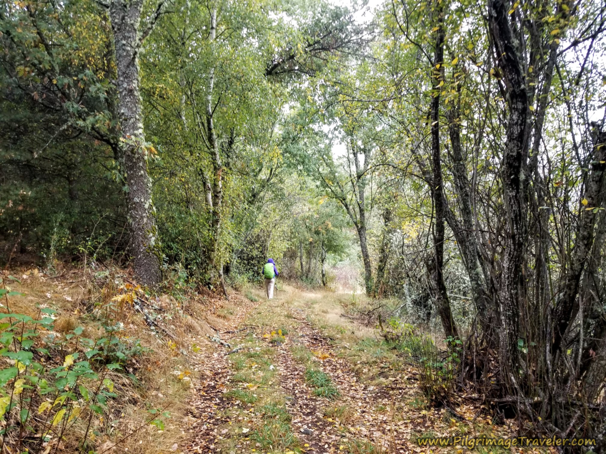 Nice Section Through the Forest
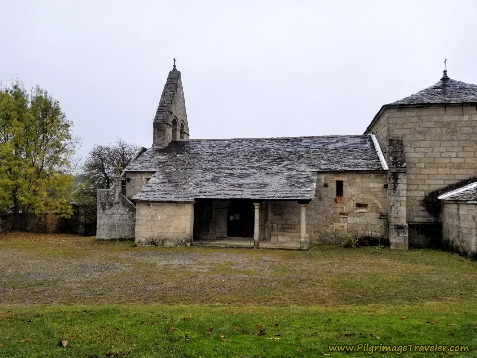
After about 9.0 kilometers, you come to an intersection, where you are directed to turn left, and up ahead is a cemetery and church, shown below. The church marks the beginning of the town of Terroso.
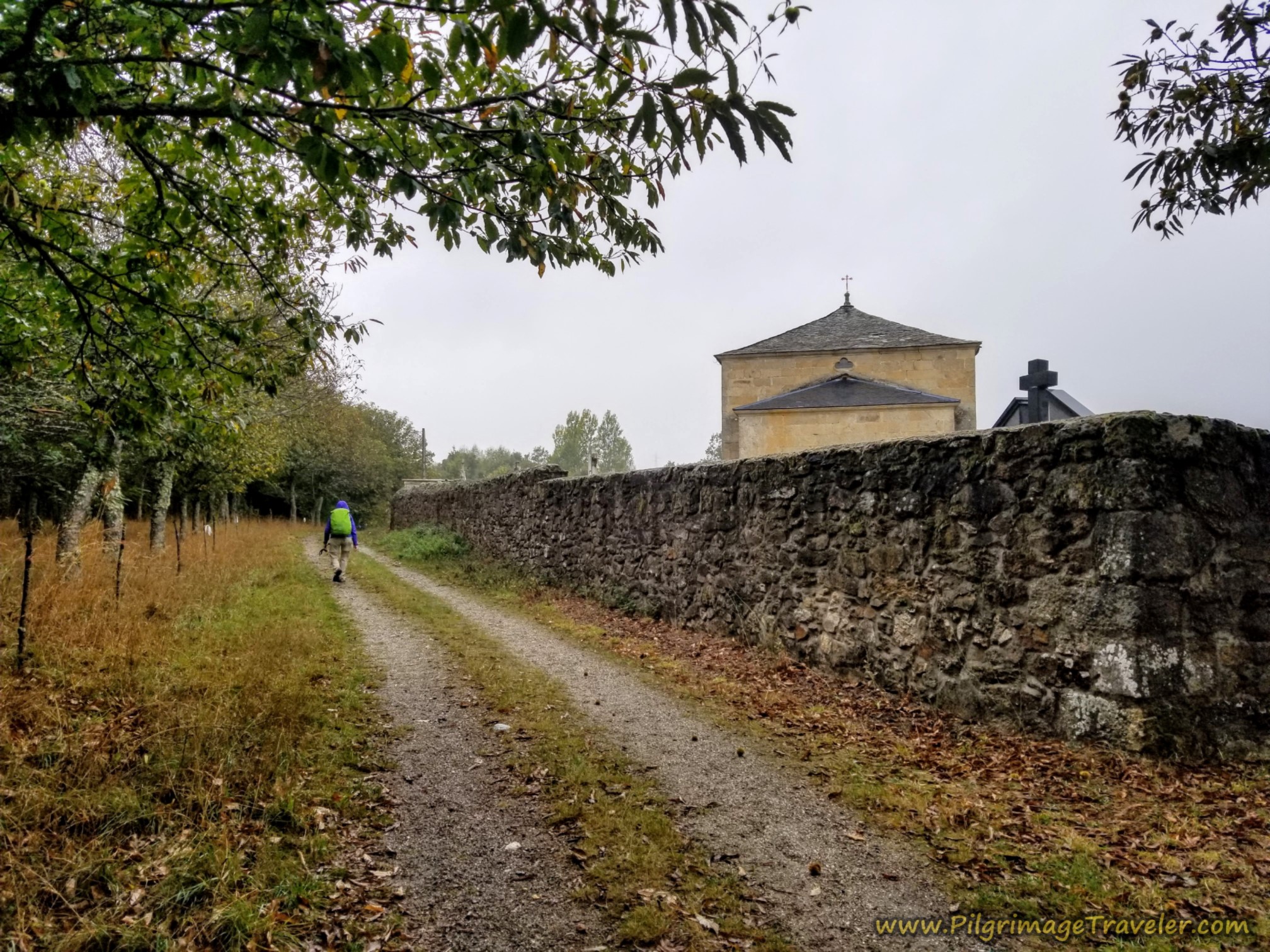 Church of Terroso Ahead
The rainy day made the gray slate roof of the church appear even grayer!
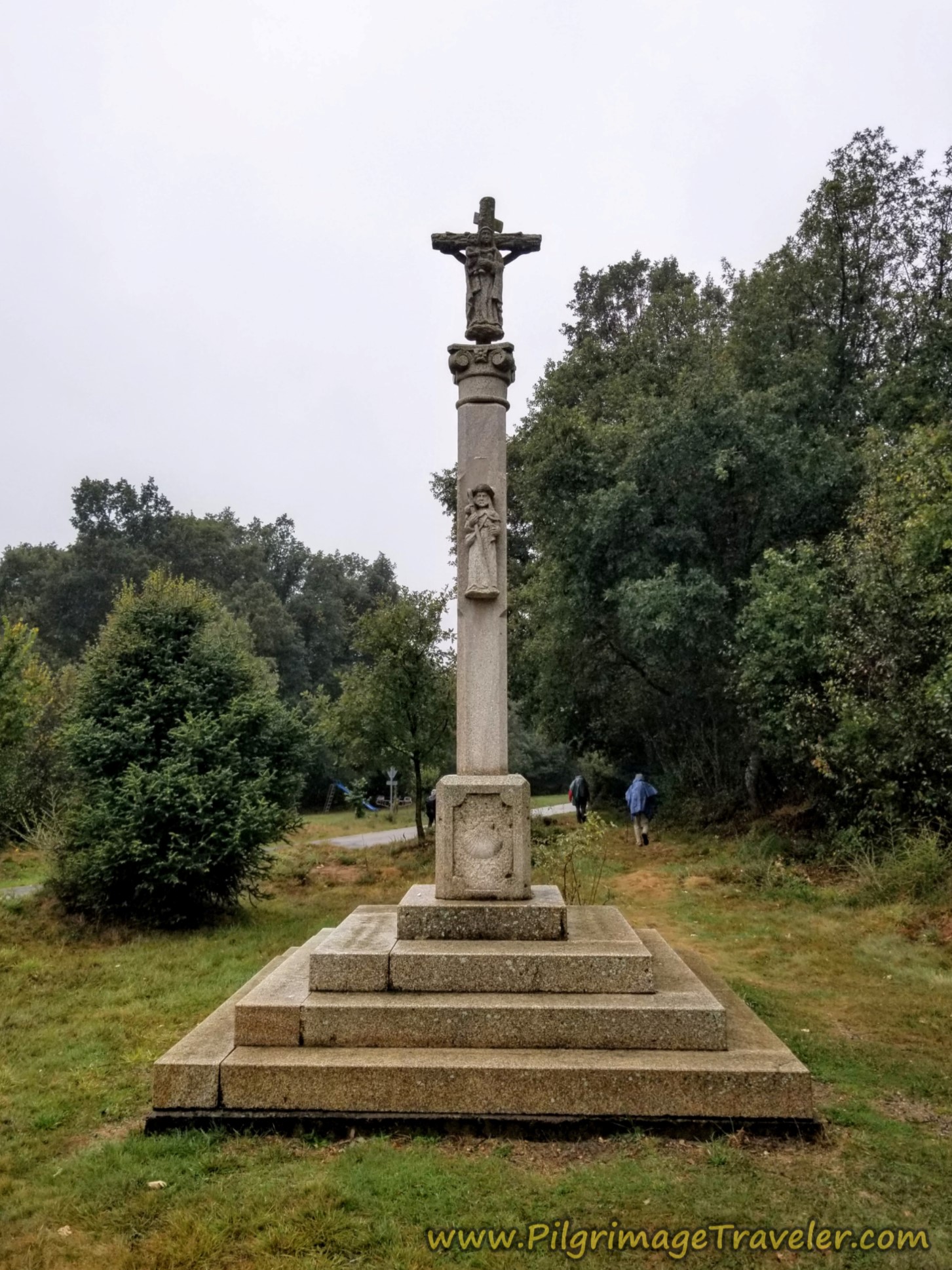
After bending around the church, join a paved road for a few steps. You will see a soccer field at about kilometer 9.4 and turn to the right. The Way is through the soccer field, heading for the cross on the other side.
The guys ahead were yaking so much that they totally missed the turn. I called out to them but they couldn't hear me, so I raised Rich on the telephone. They had to turn around, of course.
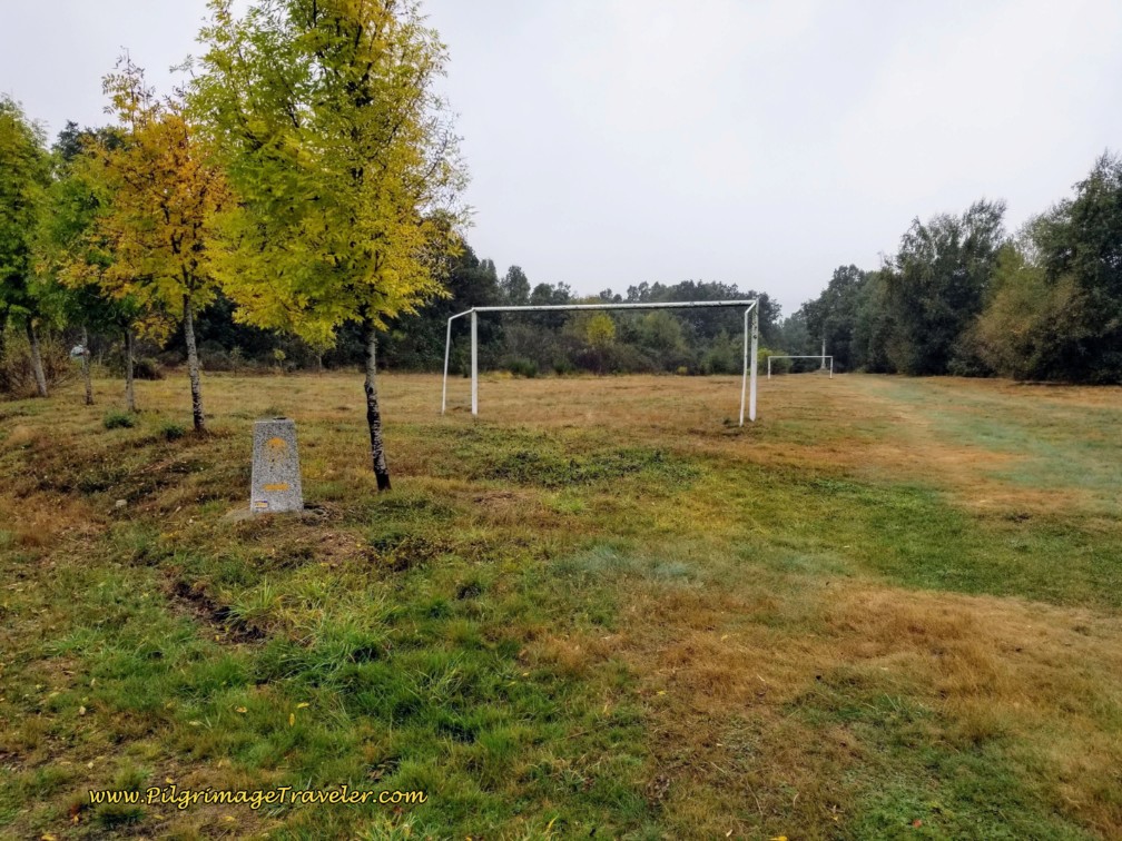 Right Turn at Soccer Field
Just beyond the Cross, the Camino picks up the road seen in the photo below. You turn right onto the road. The cross has a lovely depiction of Santiago on its column.
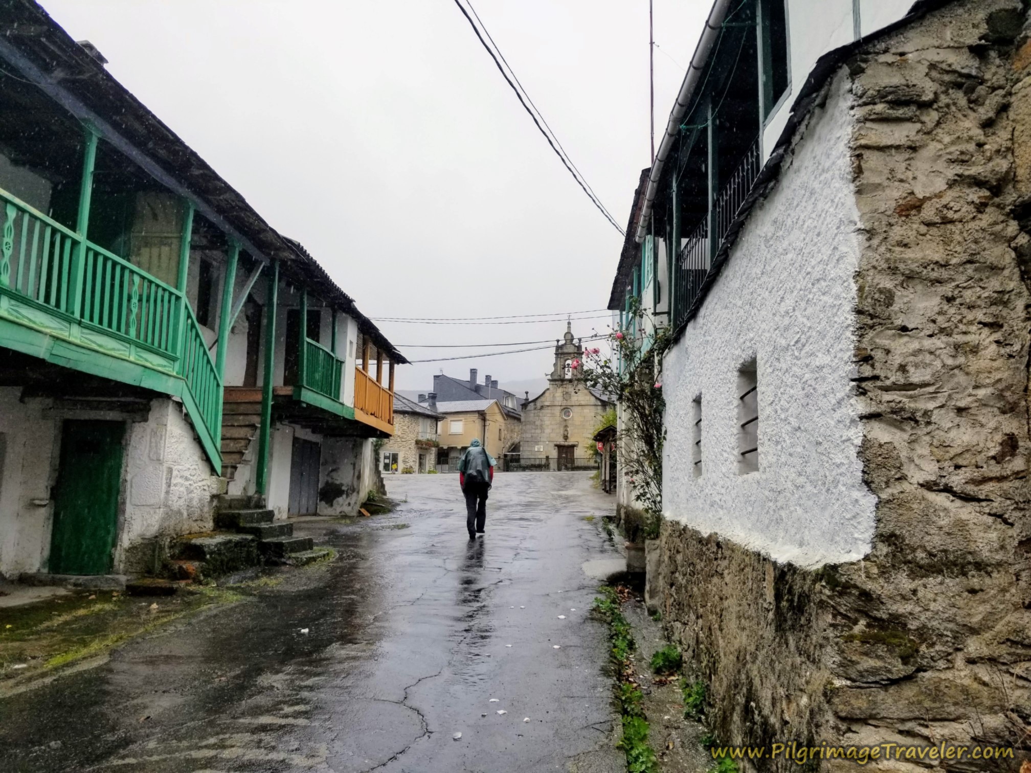
After about 9.9 kilometers, we arrived into the village of Terroso. There are quite a few wooden signs with arrows through town instead of the concrete mojones. The Camino takes a right at the small square shown below. There are no services in this tiny town.
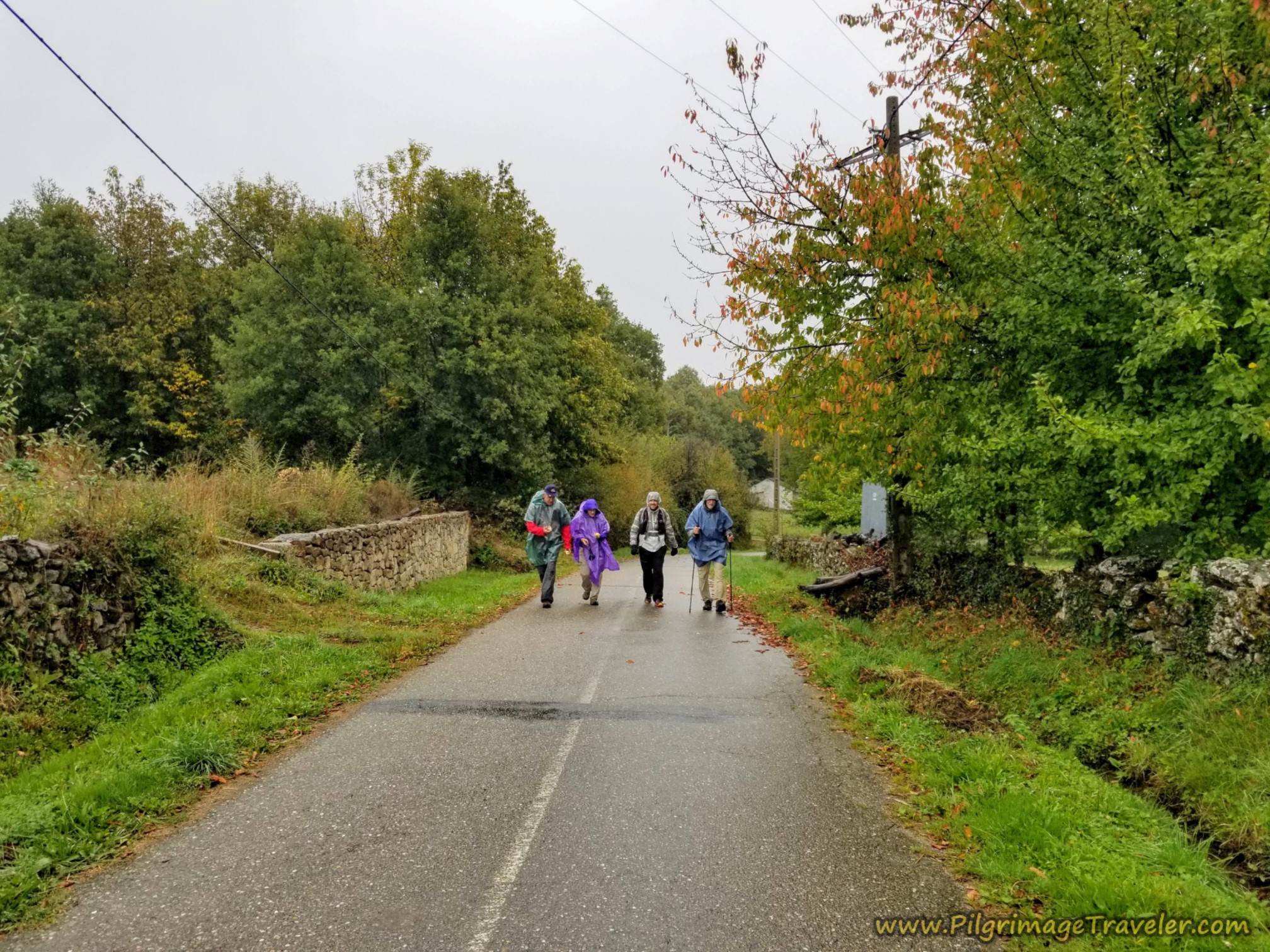
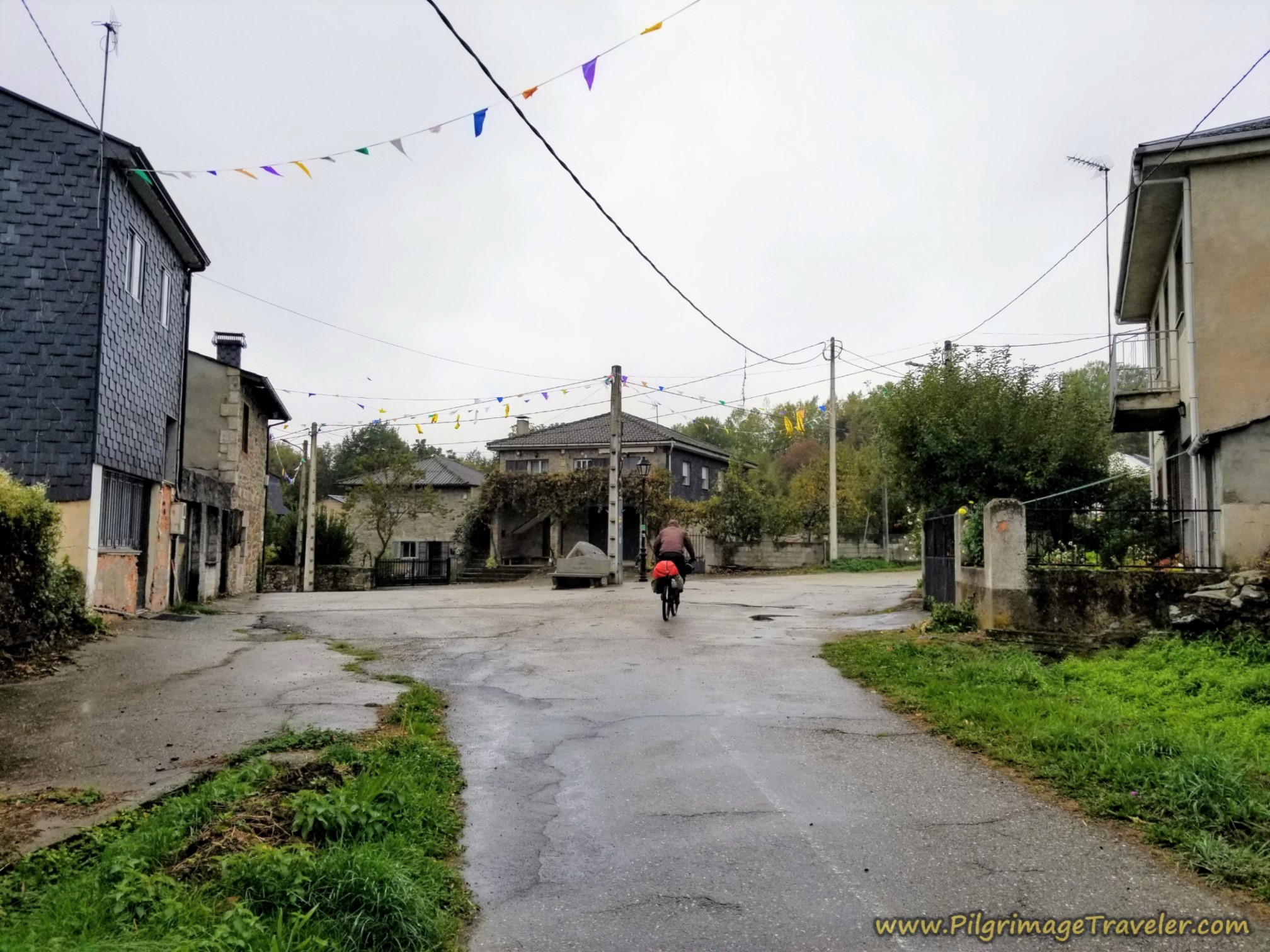 Walking Through a Soggy Terroso
It was now raining sufficiently that we all put our ponchos back on.
Jump to Camino Sanabrés Stages
The road winds through the village and upon leaving it, takes an S-turn, and climbs to cross the A-52 after about 10.2 kilometers into day six on the Camino Sanabrés from Puebla de Sanabria to Lubián.
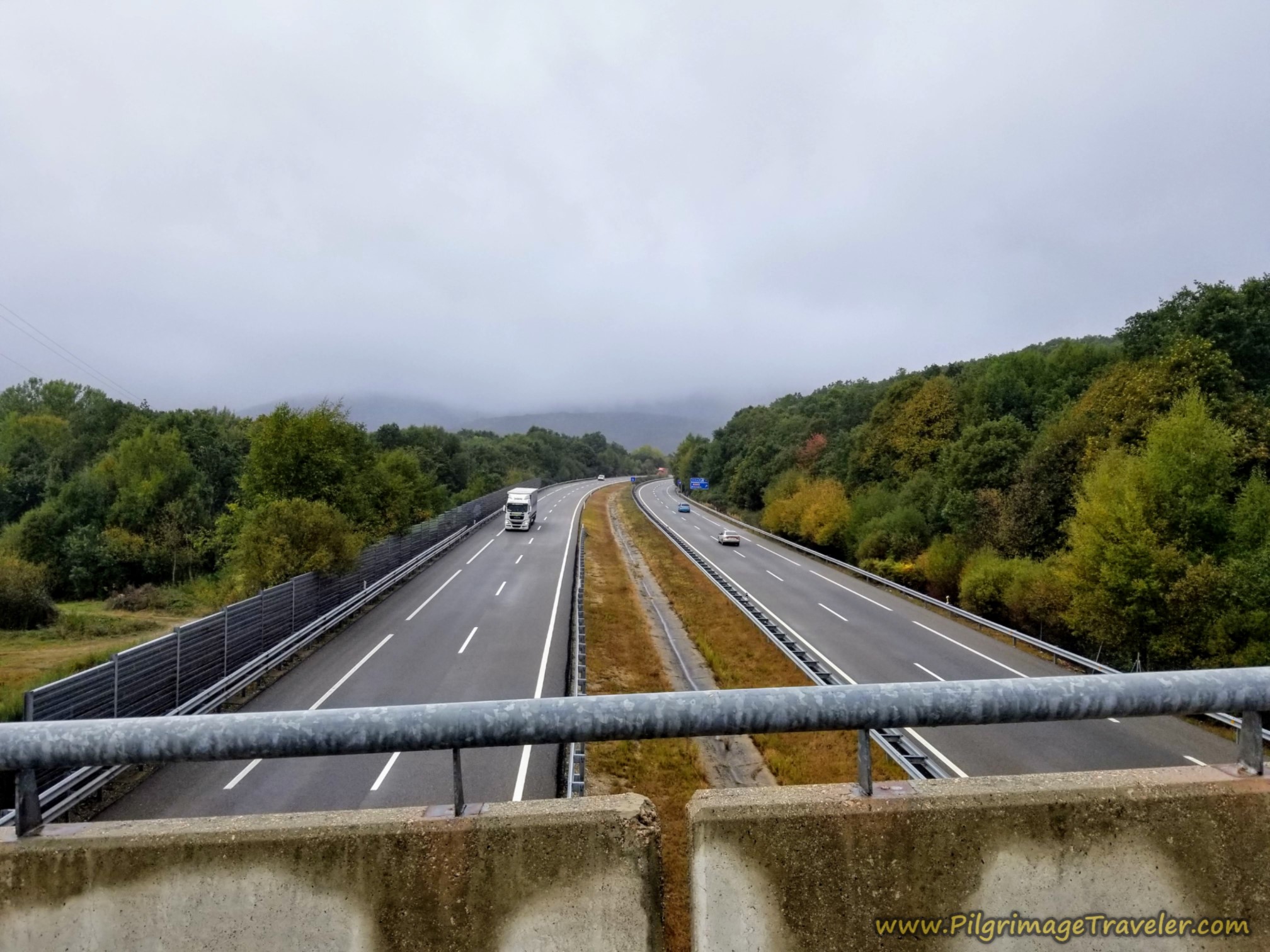 The Camino Crosses the A-52
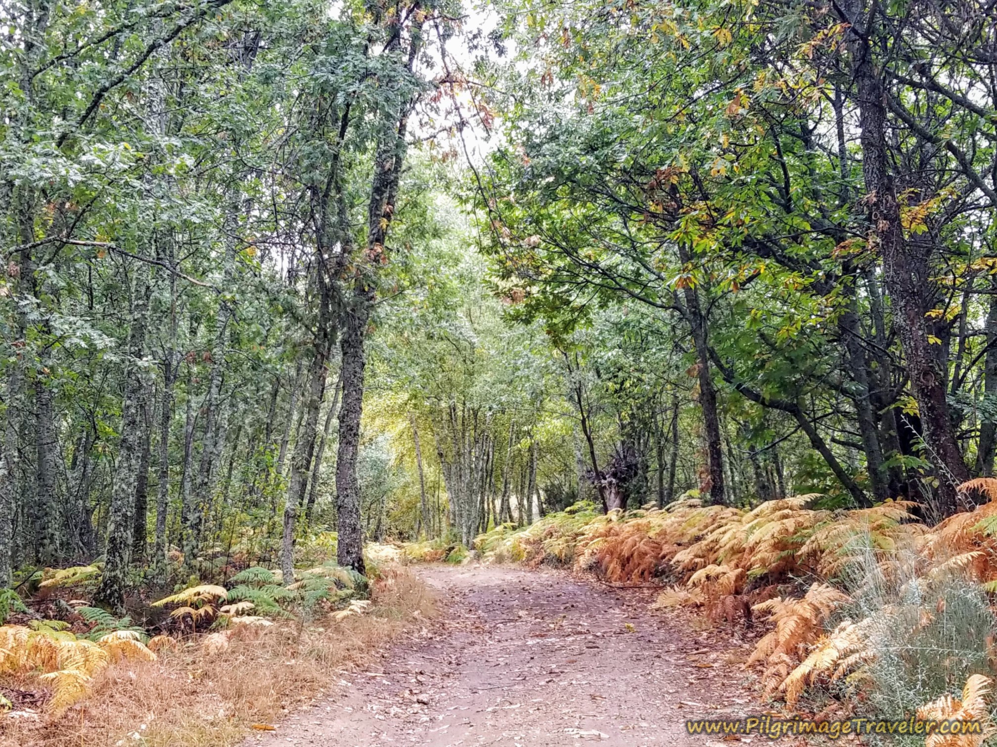
You stay to the left after the overpass and enter this lovely forested lane. In addition to Camino waymarking, you will now be seeing signage to the waterfall, the Cascada de Aguas Cernidas.
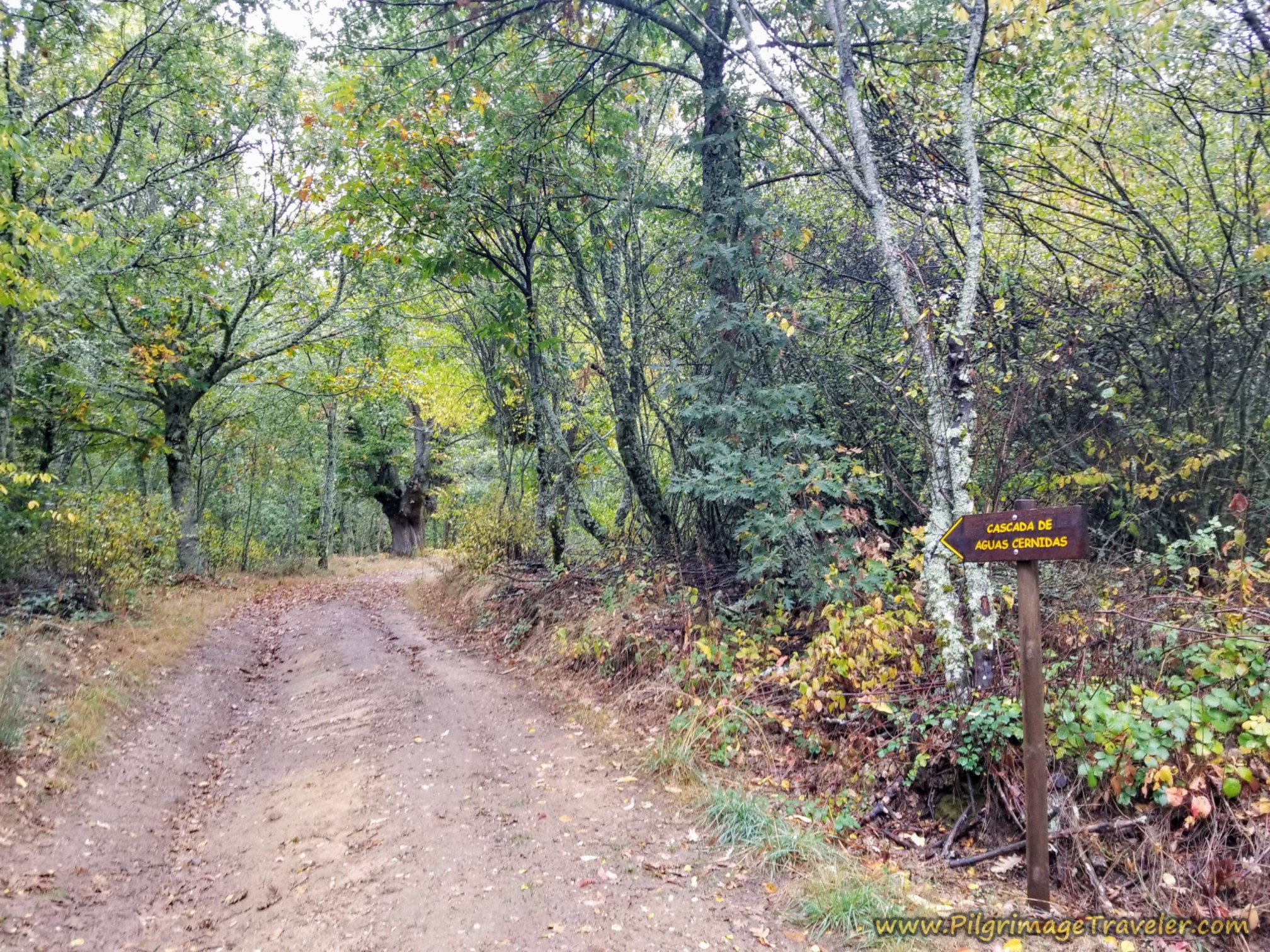 Sign for Waterfall, Cascada de Aguas Cernidas
This a lovely walk in the woods with ferns blanketing the forest floor, very reminiscent of Galicia!
After approximately 1/3 kilometer into the forested walk, the route to the waterfall diverges with the Camino, going right and up the hill. We did not go to the waterfall, but stayed low and to the left to follow the Camino.
After about 10.7 kilometers, you go through a gate and come to a road termination roundabout. A road goes to the right, and the Camino goes to the left on this narrow and deeply cut lane.
At kilometer 11.3, the narrow lane leads you up a bank to this dirt road, where you take a left turn.
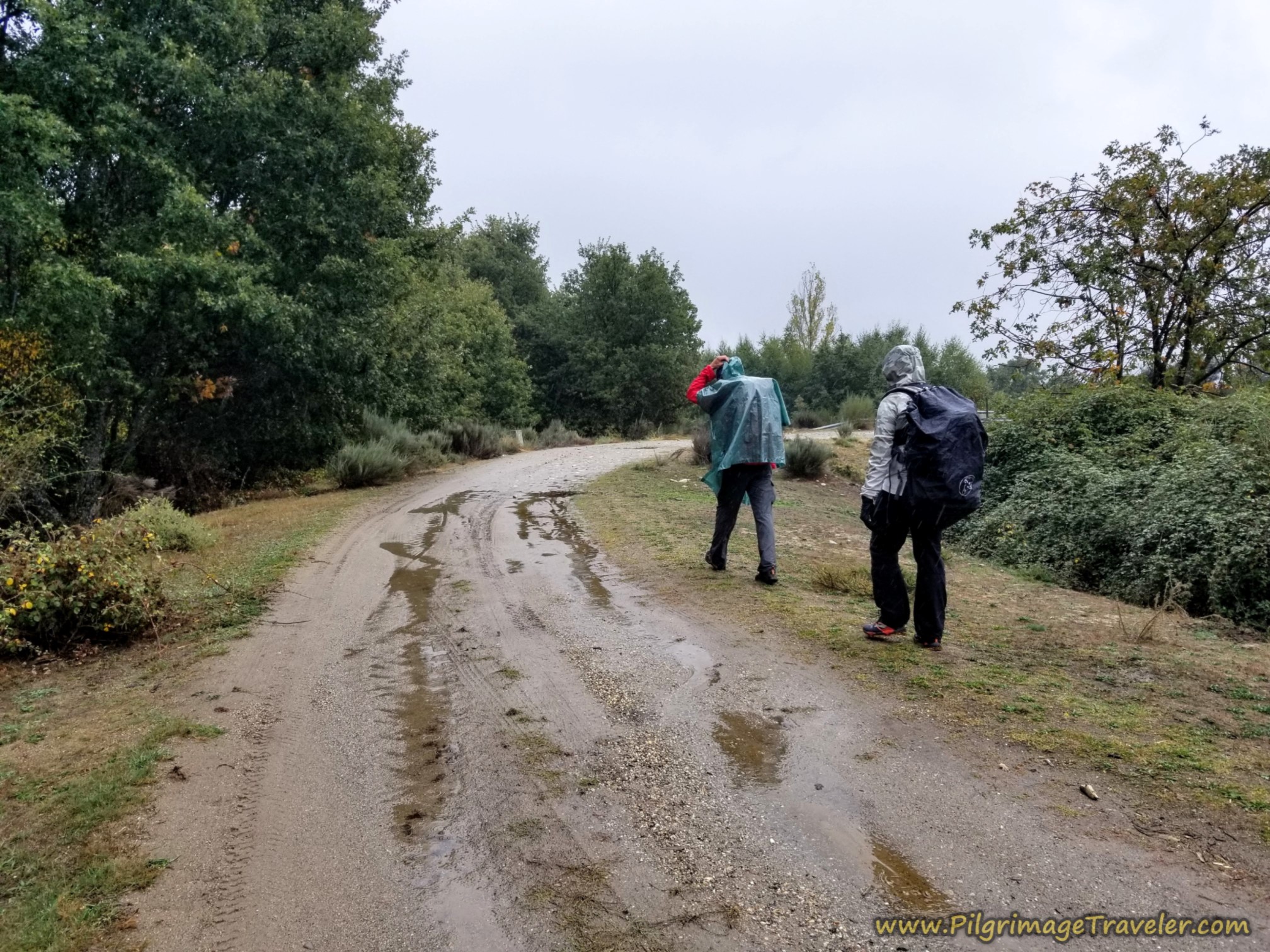 Left Turn Onto Soggy Road
You can see a mojón ahead, where you will cross the highway on an overpass. It was raining pretty well here, back out in the open.
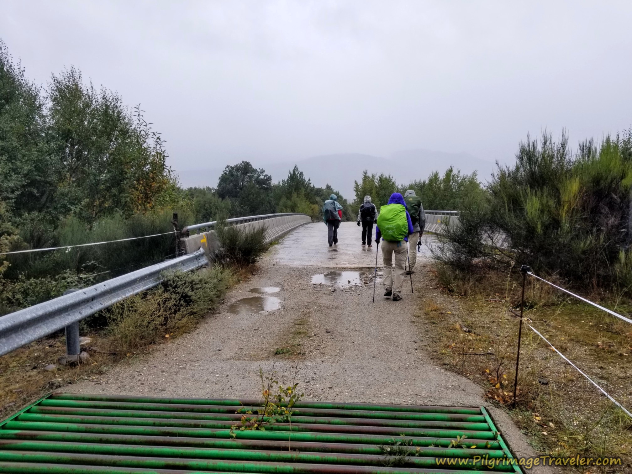 Crossing the A-52 Again, Camino Sanabrés, Puebla de Sanabria to Lubián
After crossing the highway, the road descends steeply as you enter into the next town of Requejo. We could see the steeple of the church ahead. Eventually the dirt lane turns to asphalt as you near town.
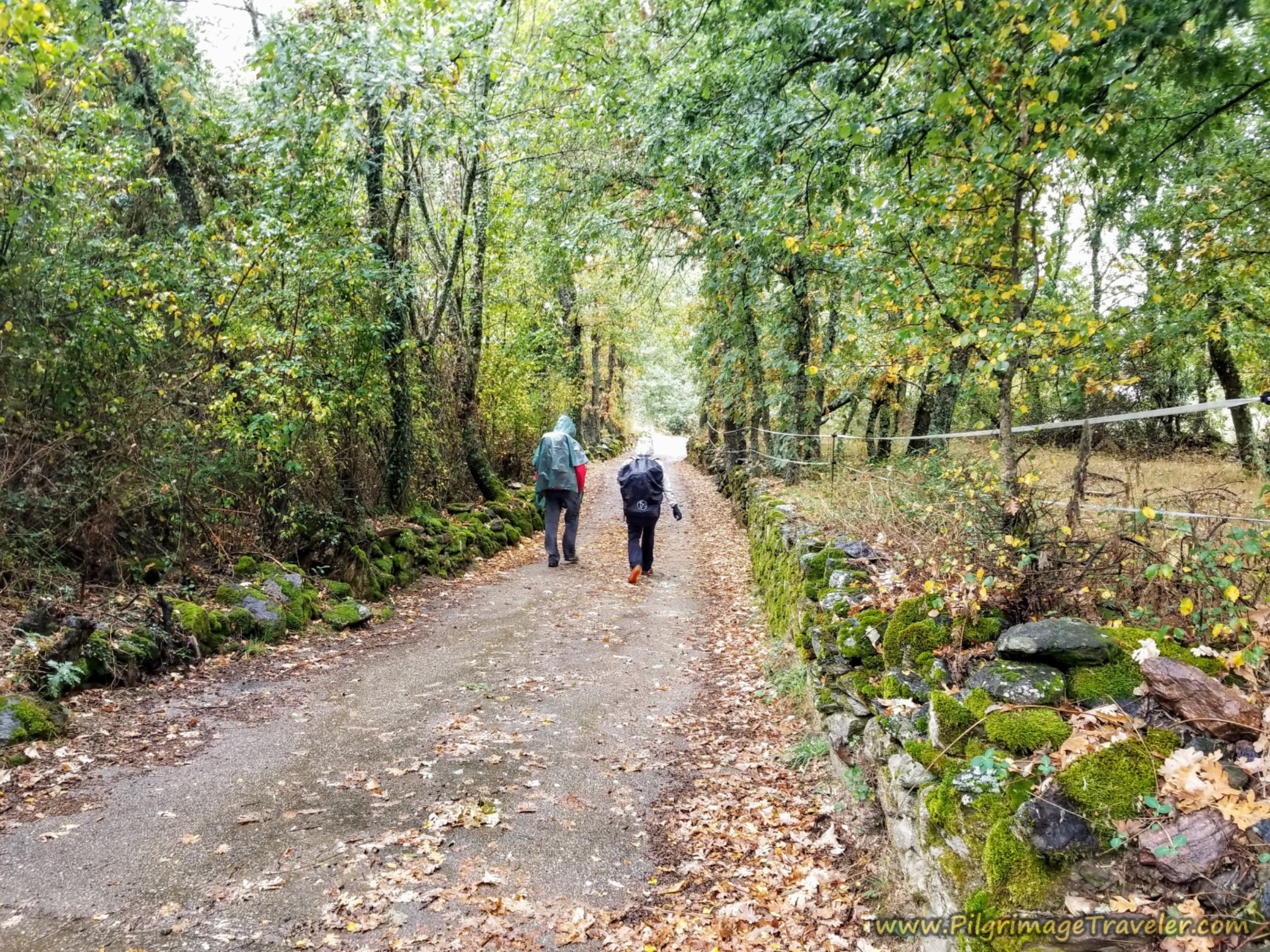 Forest Road to Requejo
As you descend into town, pass a fountain at the first intersection, (not pictured and not potable water), and head straight on as the arrow indicates. Stay to the right at the next intersection by the cross.
After about 11.9 kilometers, you come to the concrete walls running alongside the road, and you have just a few more steps until arriving into the center of town. It was raining quite hard now, and our mood had turned more somber. Because of the rain, I took very few photos in town, as I had to get my phone out each time from under my poncho.
After 100 meters or so, you cross over the main road at the hermitage, the Ermita Virgen de Guadalupe, seen in the photo above. There is a fountain at this intersection as well.
The Bar Tejedelo is a few meters onward, after turning right (west) onto the main street that is the N-525. This is where I suggest you stop and get a report of the trail conditions, before making your choice of routes ahead and ensure the river route, described below is open and safe.
If your destination is Requejo, walk onward from the bar along the N-525 and through the traffic circle, and the municipal Albergue de Peregrinos de Requejo is at the next intersection on the right, up a few meters from the highway. This is a 20-bed albergue, with no kitchen and no heat.
As you walk through town, there are several more bar/restaurant/hotel combinations that you will pass right along the main road, one after another.
First is the very economical Hotel Maite, (+34 980 62 25 09) which also has a bar. Next is the private Albergue Casa Cerviño (+34 686 02 42 13) if you prefer more creature comforts in an albergue, including a washer and dryer and a full kitchen. Next is the Hostal Restaurante Mar Rojo (+34-980 62 24 46).
Farther along, in the outskirts of town you will pass by the Hostal Tu Casa and Restaurant (+34 980 62 24 68). This place is your last chance for services until Padornelo, a long 10 kilometers later, via the long climb to the high point of the day at the Alto de Padornelo. Unfortunately, they may no longer run the hostal part (not sure if this is temporary or permanent), but the restaurant has a very economical pilgrim's menu that gets excellent ratings on Google!
Jump to Camino Sanabrés Stages
River Requejo Route in Blue
I will describe this new river route, from public information, not my own experience since it has newly reopened. I am giving you this information for your reference only. Again, I stress that you talk to the locals regarding this trail, to ensure you have accurate information and current conditions.
There is a river crossing that may not be passable if it has been raining or has lots of snowmelt. There may also be an impassable footbridge across a stream under the AVE line bridges.
Also consider that this route is through the national forest for 6.6 kilometers, so you may think about whether or not you want to walk it alone. And finally, there are mixed reports regarding the waymarking, so knowing how to follow a GPS track may be important!
From my observations of public information, almost all pilgrims choose the highway route along the N-525 for this entire section to the Alto de Padornelo. I was astonished at this! Or some do the initial part of the river route, then when they come to the intersection with the AVE concrete road and the overhead bridges after about 16.3 kilometers, they divert off the River Route and climb uphill to the right. Some join the N-525 to finish walking up the high pass and some continue on the orange alternative route shown on the map on dirt roads.
To begin the blue river route: From the Bar Tejedelo in the center of Requejo, the Camino walks the pilgrimage traveler to the left and south of the bar, along the quaint and paved Calle Carrera, running one block south of the N-525 for about 1/2 kilometer.
When the town ends and you pass the Botas Peregrinas (statue of pilgrim’s boots) after about 12.6 kilometers, continue straight onward on the rural and forested pavement another 600 meters.
After approximately 13.2 kilometers into the day, come to a cemetery on your left and an intersection just beyond it. The pavement ends here and you will pick up a dirt lane, straight ahead on the other side of the intersection. (There may still be a sign here telling you to go to the right, to avoid the AVE construction.) This is your last chance to take the highway route, by turning to the right, if you don’t like the looks of the conditions of the dirt road ahead.
Otherwise, ignore this detour sign and continue straight ahead, along this dirt lane, where you actually will see a concrete waymark. Continue through the forest, passing a large farm on your right, about 800 meters later. After the farm, stay to the left here where the wider dirt lane goes to the right after about 14 kilometers.
Continue through the forest, climbing on the lane and following the Río Requejo for the next 2.4 kilometers. Pass by a small waterfall after about another 800 meters farther along the trail.
By 16.4 kilometers, the trail joins a concrete road, with the river immediately on your left and the AVE rail bridges looming above you. You have another choice here: You can continue to follow the concrete road, as it bends to the right, heading up the hill until joining the orange route OR you can continue straight and look for the dirt side track that follows a split rail fence under the AVE elevated bridge on your left. These rail tracks above are heading towards tunnels that run under the Padornelo pass.
Jump to Camino Sanabrés Stages
The Red/Orange Linked Route
If you take the uphill alternative on the construction road, the short red line northward from the blue route on the map, you will join the orange route in about 850 meters at a T-intersection. This intersection is shortly after the orange route leaves the red N-525 highway route. You will turn left at the intersection by a building with tall silos. This was the standard route that was phased in more recently, before the blue river route made a reappearance! It is also a well-waymarked route now.
This short red alternative, linked with the orange alternative, is the absolute longest route, but only by about 2.15 kilometers (total of 29.85 kilometers for the day). Additionally you will have to walk on concrete roads, at least initially as it goes up to join the orange route.
As the now-dirt road goes onward, along the orange route, it parallels the N-525 and goes under two highways as it loops around the valley for 5.25 kilometers to the Alto de Padornelo!
The final, upper segment of this loop crosses under the two highways once again, and when it reaches the top of the pass, where it joins a paved road, instead it turns to the left onto another dirt lane. Then it is an onward descent for a few more meters to the Cruz del Peregrino (Pilgrim's Cross), the official top of the pass. The orange route joins the blue route here at the cross.
Or, alternatively, just after the T-intersection when the concrete road ends, and by the tall silos described above, you can take a quick right turn onto another gravel lane to join the N-525 if you want the shortest route possible to the Alto de Padernelo from here.
There are actually two more places to cross back over to the N-525 if you wish. The second after about 1.3 kilometers along the orange route after the T-intersection, and the third one under the bridges, after about 1.8 kilometers. For this third possibility, you will have to back-track up to the N-525. Study my maps to see where it can be done. You will also be able to see these last two intersections as you walk along, on the fly.
Jump to Camino Sanabrés Stages
Back on the Blue River Requejo Route
Where the river trail joins the construction road by the AVE viaducts, follow it a few meters and look for a side track to the left that follows a split rail fence. This track takes you under the first elevated bridge and then between the two. Walk several meters between the viaducts coming to a footbridge across a small tributary of the Río Requejo after about 200 meters.
This footbridge says passage is prohibited. Pilgrims have crossed the stream by going up the right bank, crossing over at an upper bridge, a few meters above the footbridge, then descending back down to the same place on the other side. You will have to stay within a tall chain link fence line to do this.
When I look at pilgrim’s photos of this crossing on Wikiloc, it looks like you might even be able to hop over the stream on rocks or wade in low water conditions. But the stream creates a deep cut, so a bit of scrambling would be necessary to do this.
After the footbridge, on the other side of the stream, continue up onto a roadway, past the first tunnel on your right. Along this track, walk towards the next tunnel on your left. Just before the second tunnel, you will come to a ruined building after about 17.2 kilometers.
To the right is the historic route, for which I have little descriptive information outside of Google earth, but I do have several GPS tracks from the autumn of 2025 showing this is the way to go.
You will now follow this trail, as it zig zags up the mountain for approximately 2.0 kilometers. The trail criss-crosses a power line several times along the way.
Reach the top, the highest point at the Cruz del Peregrino by 19.4 kilometers. It is at this cross where the orange route joins the blue route, if you have taken the alternative to the highway tunnel, described farther below. I borrowed this photo from Google, below, of the cross. There is a bench where you can sit and have a well-deserved break after your climb!
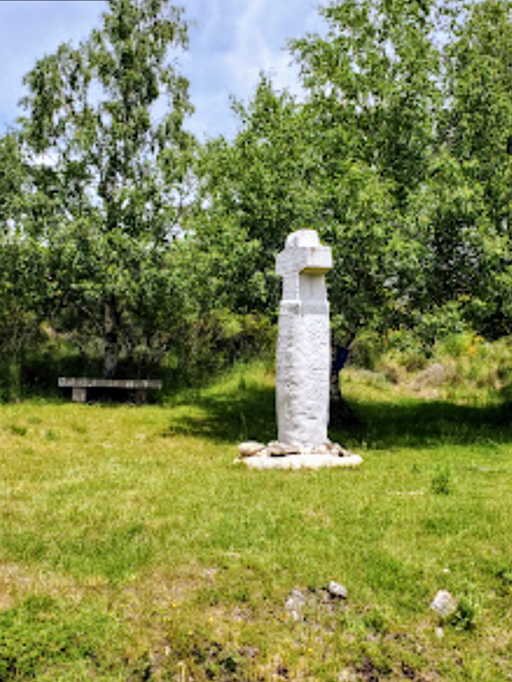 Cruz del Peregrino, Alto de Padornelo
From the top, follow the road 350 meters down to the intersection with the N-525, where a left turn puts you back onto the highway route. Skip to below, after the tunnel to continue the description onward.
Jump to Camino Sanabrés Stages
Rainy Day Highway Route
For some reason, our group decided not to stop in Requejo, even though it was almost halfway into the day's walk. Miguel had brought new energy into all of us, I suppose, being at least 20 or more years younger than us, as he led the march. Plus, the weather wasn't particularly horrible, so before it got even worse, we wanted to press onward and upward over the high mountains.
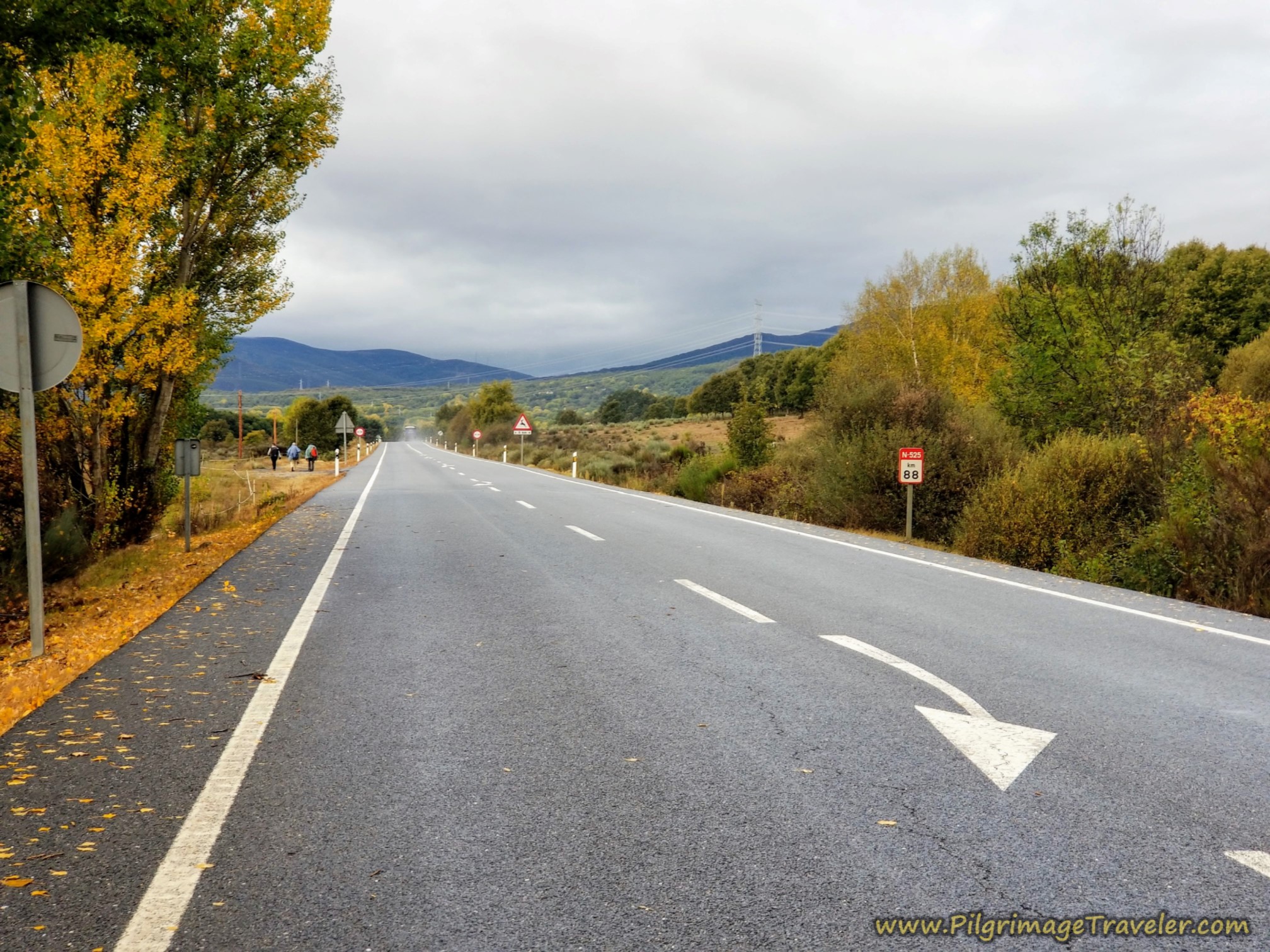
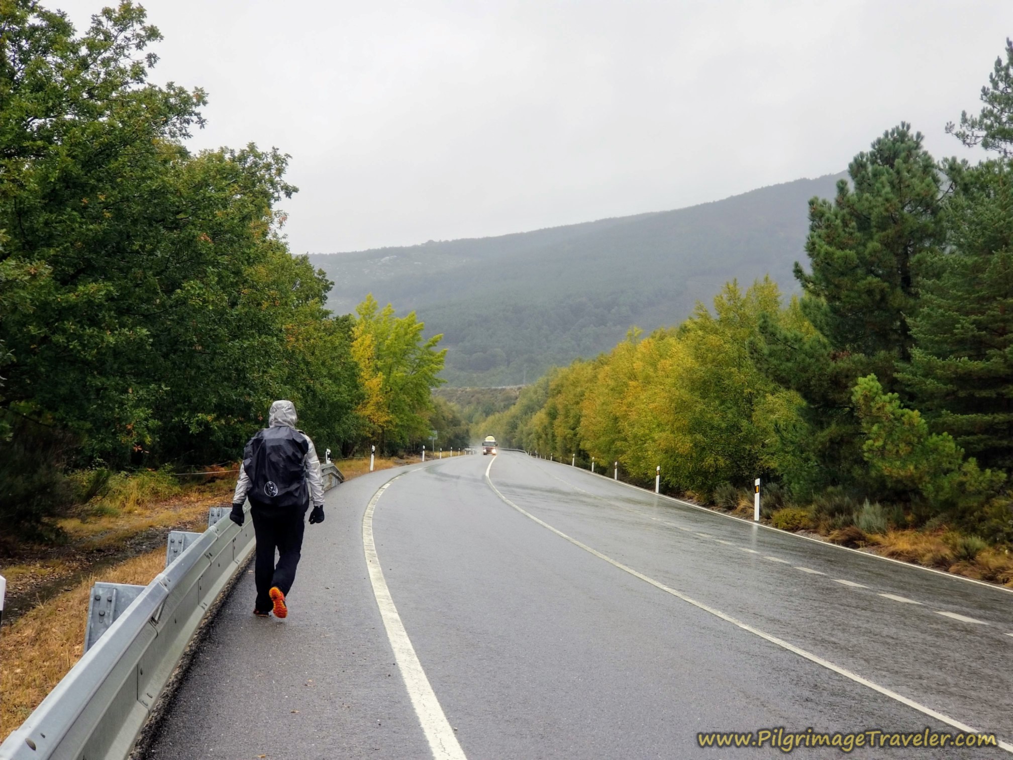
Here is how the mountain road looked as we set off from Requejo on the N-525 for the climb. As you can see, we were forced to walk on the shoulder as the trucks zoomed by with their backsplash. Not an ideal situation on the Camino Sanabrés from Puebla de Sanabria to Lubián.
After about 4.3 kilometers of dreary highway walking and climbing steadily, we encountered this big blue sign, below, just after the highway kilometer marker 98. This is where the orange alternative route described above, leaves the highway and goes to the left, and which you can see on the map above. This is what I would suggest you take if the blue route conditions are not good and you want to avoid the highway tunnel.
The detour sign was in three languages, and it clearly indicated that we were required to stay straight on the N-525. You can safely ignore this detour if the sign is still there!
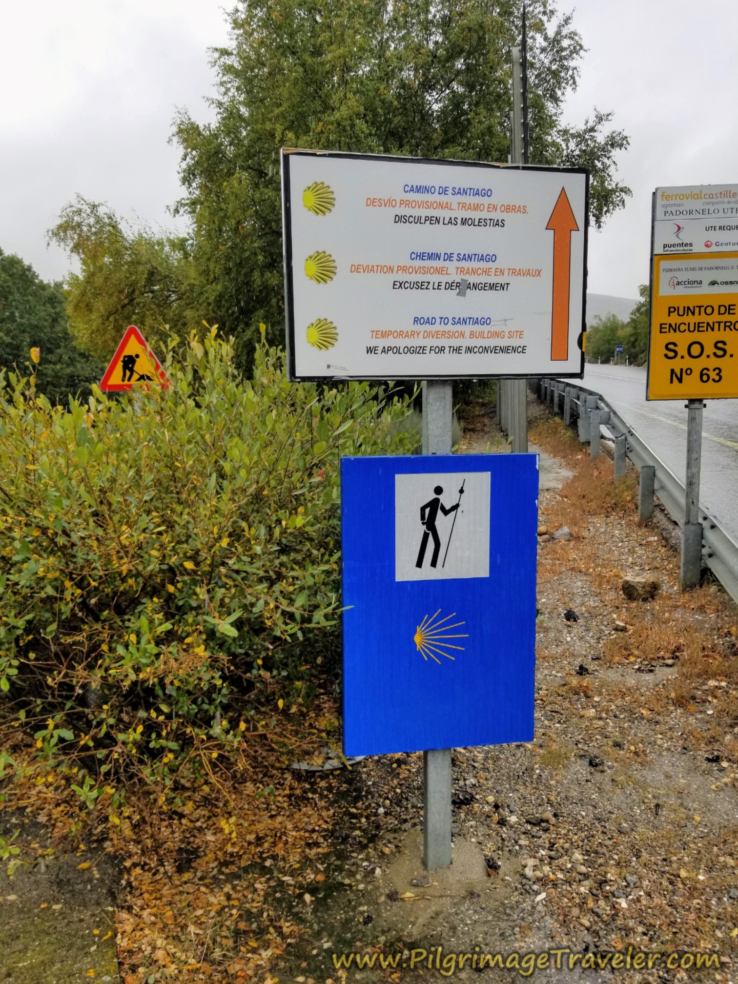 Detour Sign
If you choose to take this alternative to the highway, you will be walking on mostly dirt lanes for the next 4.5 kilometers (just not for the first 1/2 mile when you leave the highway). This orange alternative is only 1.25 kilometers more than the highway route.
As we walked along the N-525 there were convergence points along the way where we could clearly see the dirt lane that the orange route follows, below us and to the left. There are several places you could easily jump onto it if you changed your mind. It is a trade-off for off-highway walking versus adding another 1.25 kilometers to make an almost 30 kilometer day.
However, Miguel and I, who had both studied the route, knew that the orange route takes a big loop that is longer than staying on the N-525, (as you can see on the orange route on the Google map). We could actually see ahead and how the Camino went up and over on the wide loop on the way to the top. Because it was now raining so hard we chose to continue on the N-525.
For me, this was not an easy decision, but I agreed with the group consensus. Not only was the highway shorter by at least a kilometer or more, but the lane would have been full of mud puddles to slosh through.
So we trudged onward, staying on the N-525. Sometimes a pilgrim must take the way that makes the most sense, I guess. If I had been alone, most likely I would have taken the more scenic route, even in the rain. There was no reason to push my personal agenda.
I did hear from a fellow pilgrim, later in the day, that this part of the route was a sloppy mess. So we had made the right choice.
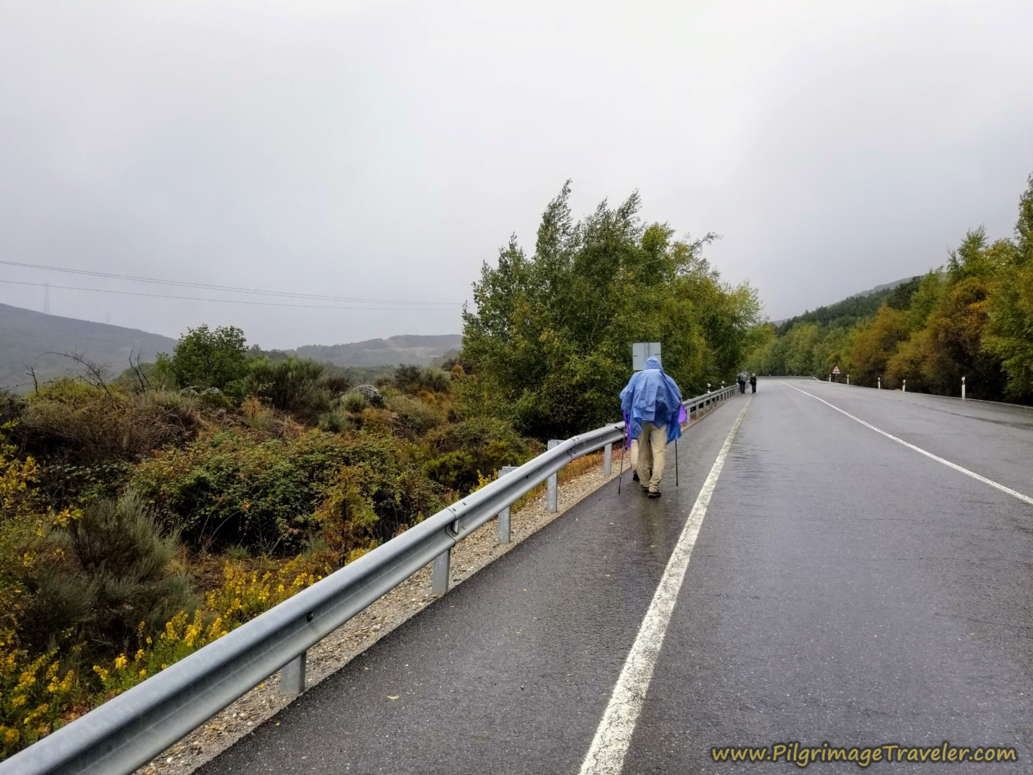 Pushing Upward in the Rain towards the Alto de Padornelo
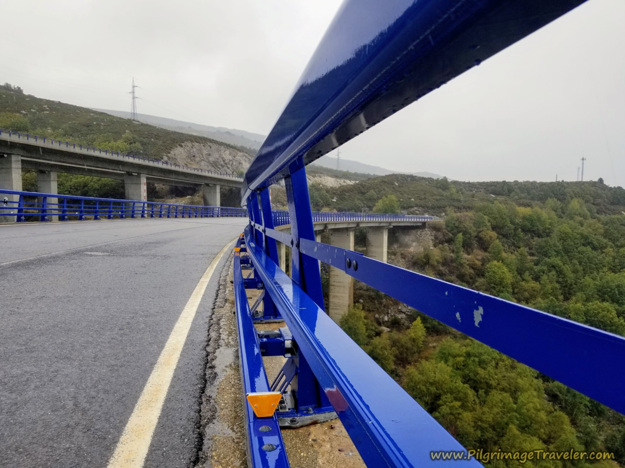
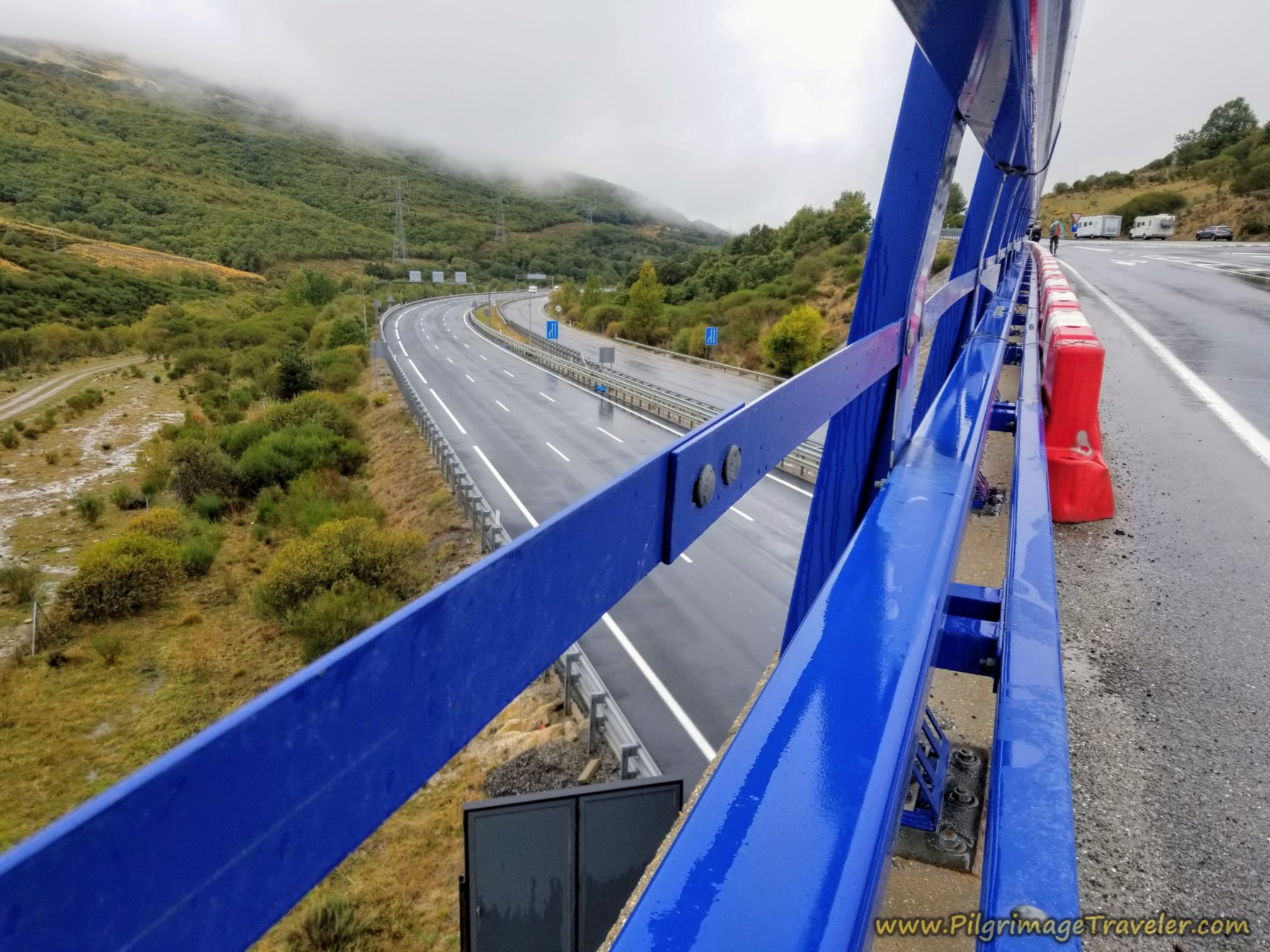
When the viaduct of the N-525, called the Viaducto de los Tornos (delineated by the blue railings), comes together with the A-52 motorway above it, on a parallel path, you come to the final opportunity to join the orange route and avoid the Padornelo tunnel. There is now a dirt lane, off to your right that takes you to the looping Camino way.
On the N-525, this turn is just before highway kilometer marker 100, and just before the beginning of the viaduct, at about 6.1 kilometers frim Requejo when we passed by it. Once again, because it was raining so hard we chose to continue on the N-525. We could have turned right here and onto the dirt road to join the orange route, and get off the highway.
Here in the photo below, is a look back at the two highways, paralleling one another. Both viaducts are engineering feats onto themselves!
From the beginning of the viaduct it is about 1.2 kilometers more to the infamous tunnel at the top of the Alto de Padornelo. If you are afraid of tunnels, as a lot of folks are, please make sure you turn right just before highway kilometer 100 marker and just before the viaduct. It is your last chance to avoid walking through the tunnel.
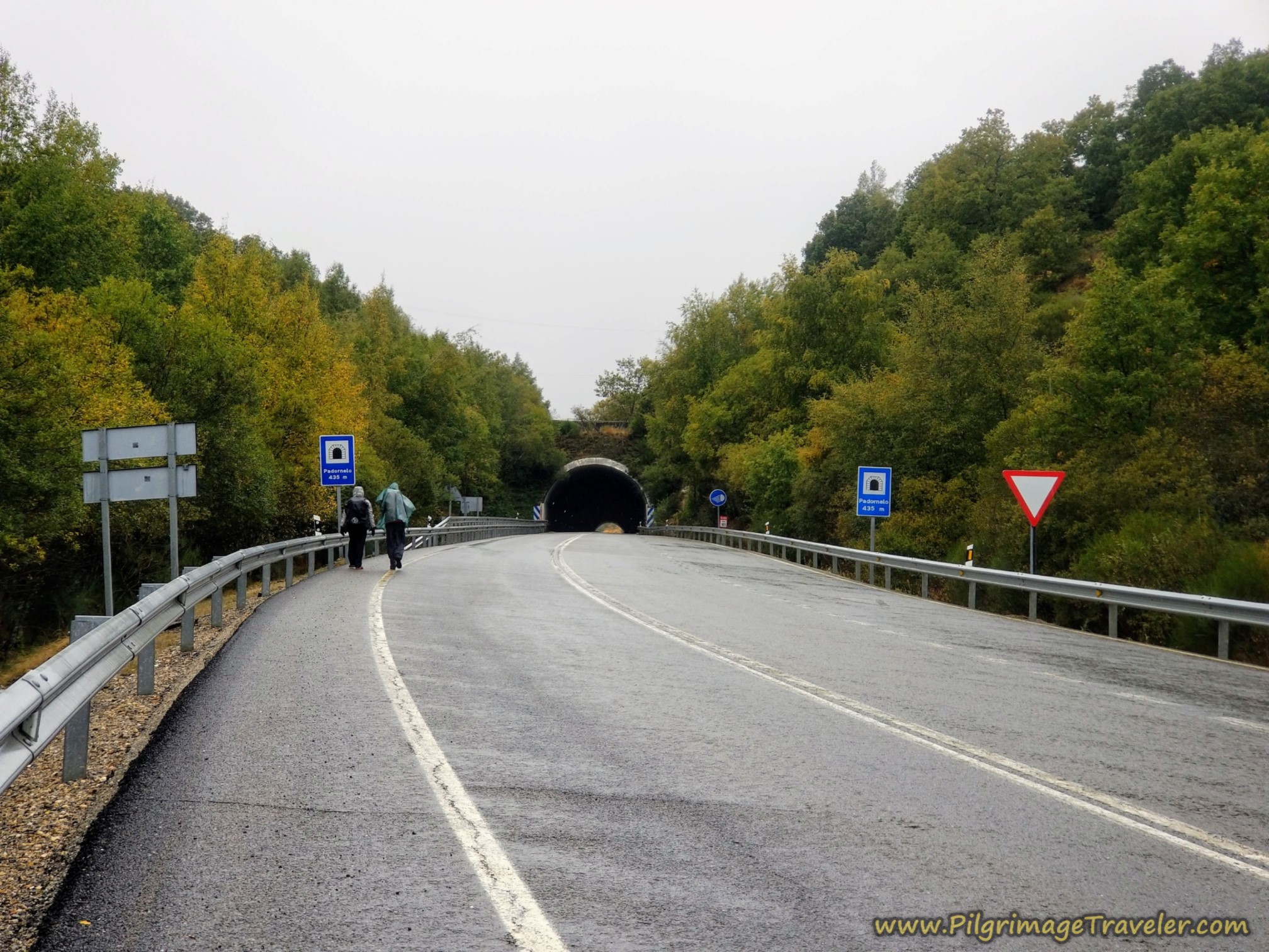
I did not find the experience of walking through the tunnel as all that bad. There is a nice sidewalk inside the tunnel to keep you safe, however, it is a bit scary when the big trucks roar by you, rather closely.
Here is a photo of the remaining slog up to the tunnel.
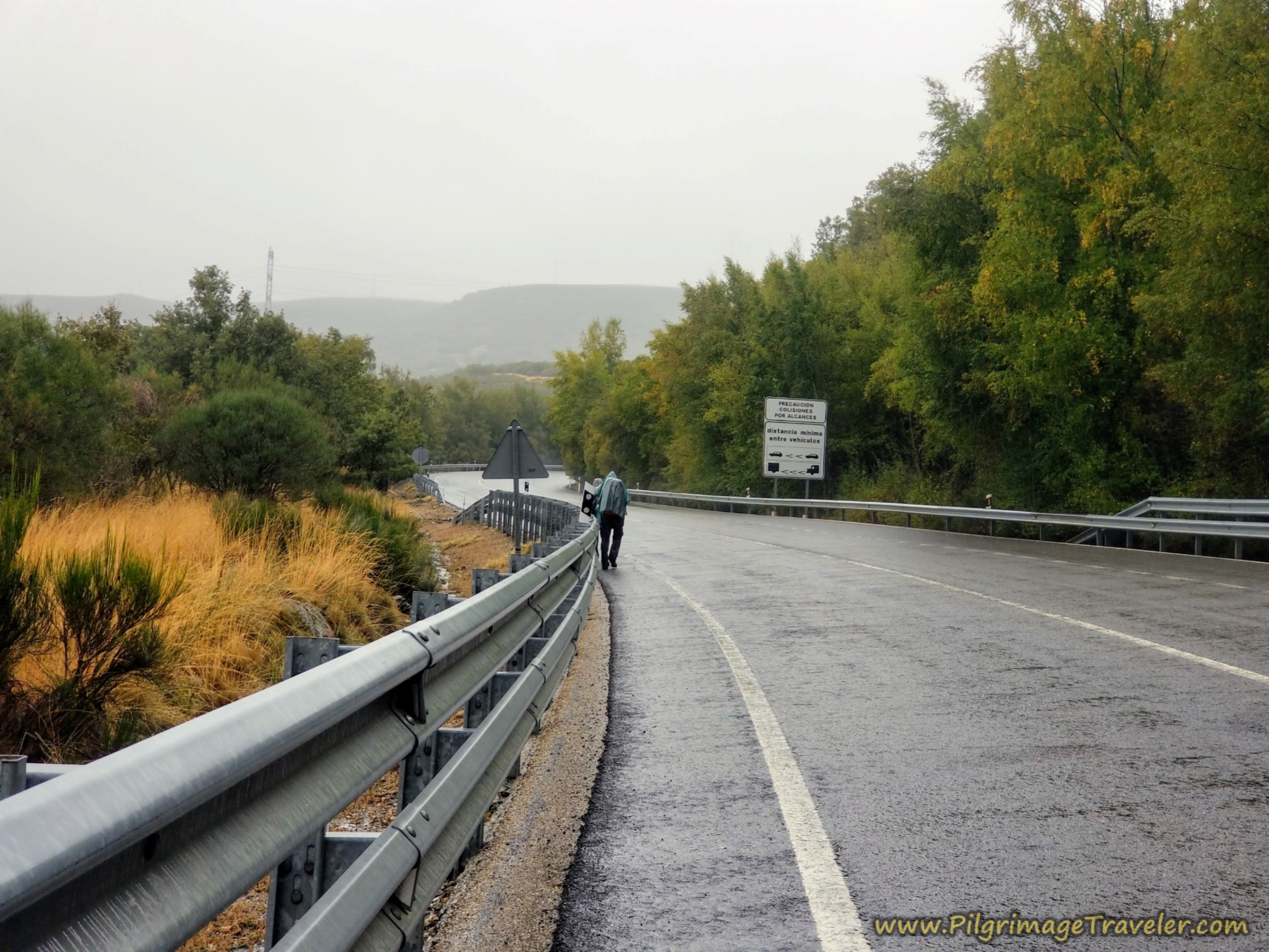 Steady Rain Continues on the Climb
It was lovely to finally see the tunnel and the top after about 19.5 kilometers into our day on the Camino Sanabrés from Puebla de Sanabria to Lubián.
The tunnel is 435 meters long, and was a nice reprieve from the rain, despite it being very windy inside. The guys were hooting as their voices echoed through the tunnel.
This is the Alto de Padornelo at 1356 meters, (4448 feet). The actual high point is above the tunnel, on the road where the blue and orange routes converge, several meters higher.
When you are through the Túnel de Padornelo, the routes that walked up and over the top of the tunnel, now join the N-525 from the left, and continue the descent along the roadway, shown below.
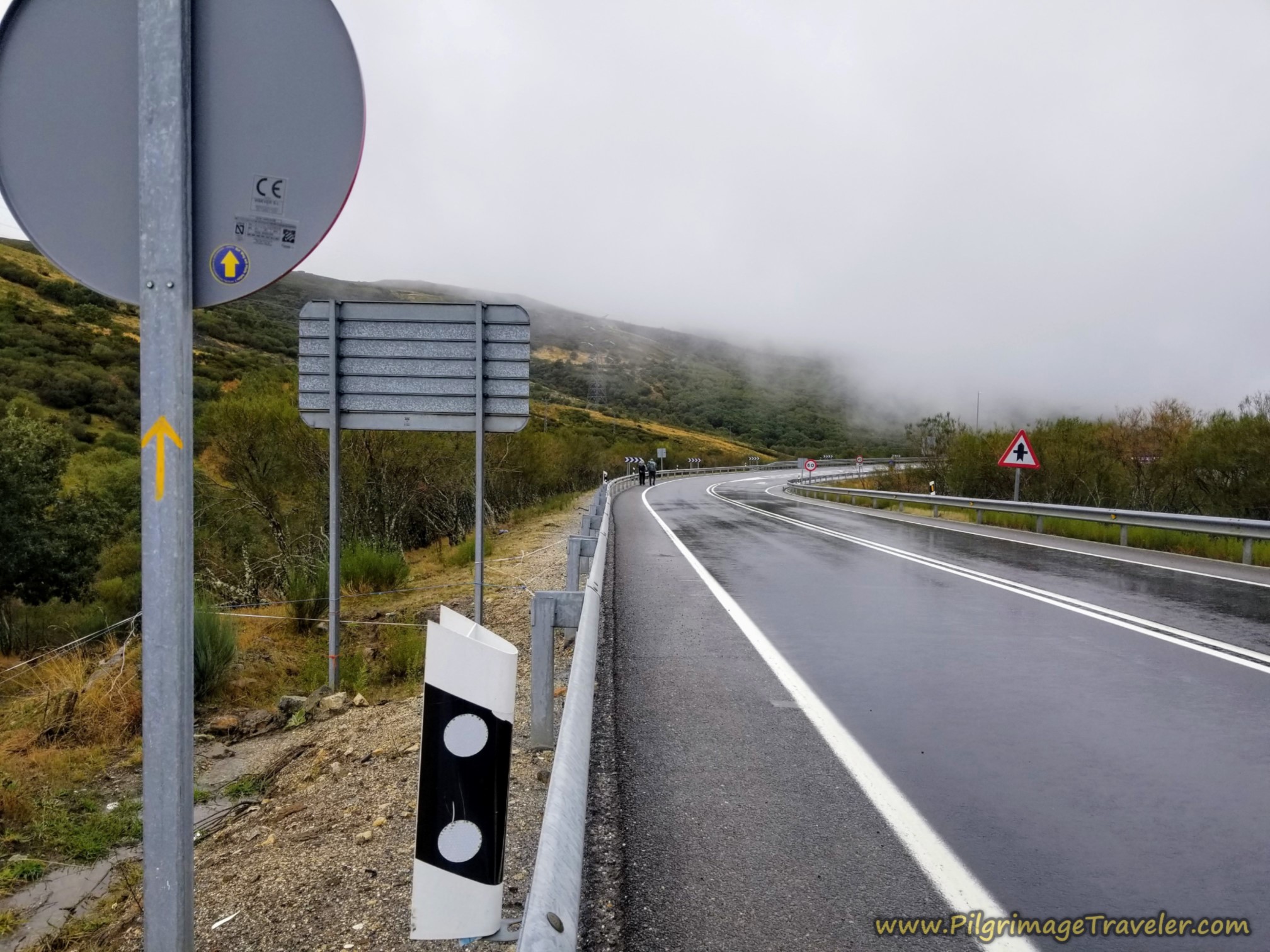 Join Official Route Along the N-525 for the Descent
On the other side of the pass, the weather lightened up a bit, finally. You continue on the N-525 on the way to the next town of Padornelo. The Camino is well signposted, through here.
After about 20.2 kilometers, you come to the overpass of the N-525 where it intersects the motorway, the A-52 again. Just before the overpass, you see the N-525 kilometer marker 102.
After the flyover, the town of Padornelo is now only 1/2 kilometer away as you can see on the sign in the photo below. You can also see the sign for Aciberos, in the final section to Lubián.
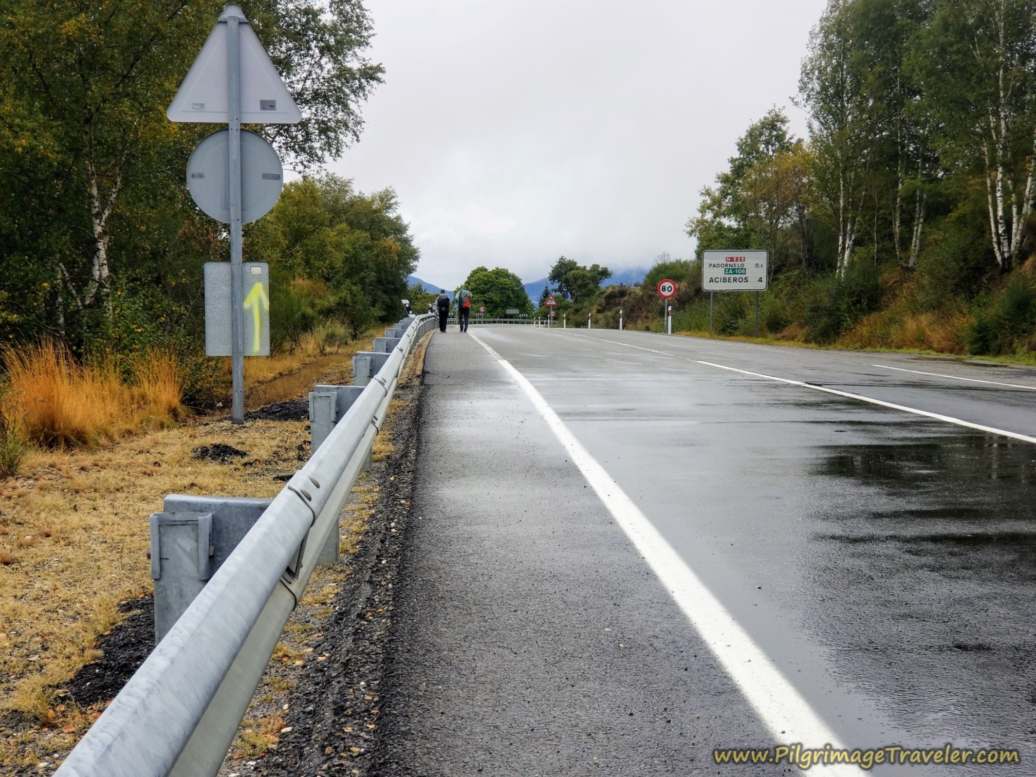 N-525 Towards Padornelo
Just before Padornelo there is a quieter route to the left, through the south side of town, if you don’t need any services. It is a waymarked alternative. Look for the waymarks and/or consult the interactive map above.
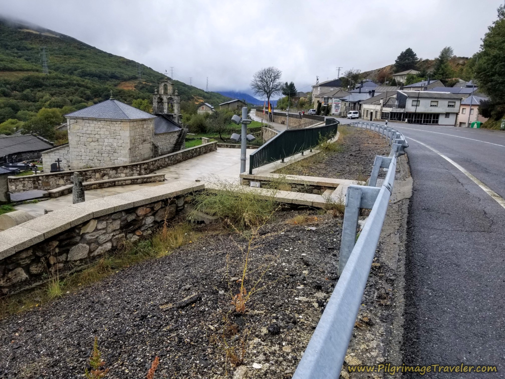
Here is the town of Padornelo, as we entered, with the Iglesia de Santa María de la Asunción on the left, a water fountain on the right and yes, a bar after the fountain!
The first bar that we came to, after about 20.9 kilometers, we stopped, as we were more than ready to warm up, dry out and get a cup of café con leche and something substantial to eat.
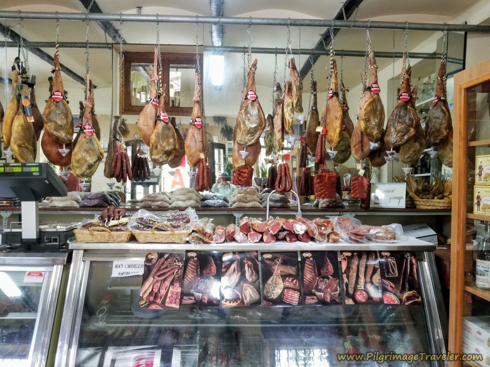
Here is the Bar Silva and its tienda, which had lots of hanging Serrano ham for sale, and other meats, in addition to the bar service.
After our break it was really difficult to suit up and set back out in the rain. I was glad that we had come so far before a break, and that we had less than seven kilometers remaining.
We got back onto the N-525 and passed the Hotel Padornelo in about another 1/2 kilometer. We seriously considered staying here as we walked by and the hotel looked so inviting as a refuge from the rain! It would not have been a bad day after 21.5 kilometers!
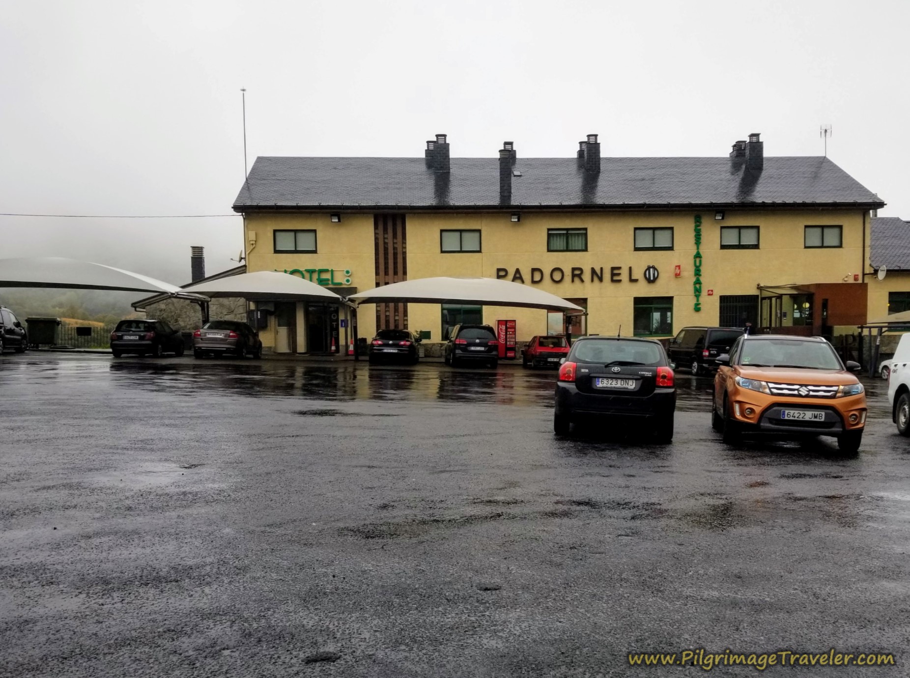 Hotel y Restaurante Padornelo
Jump to Camino Sanabrés Stages
But we kept on going! More slogging on the highway with little or no shoulder now. In places, there is a bit of a rough path outside the guard rail, which we chose not to use. Instead we walked as a big colorful clump along the roadway. With five of us, the cars could see us sufficiently. Plus, if one came we moved over to the side. We wanted to make the walk as easy for us as possible. Perhaps this was not very respectful of the car drivers, but there was very little traffic through here.
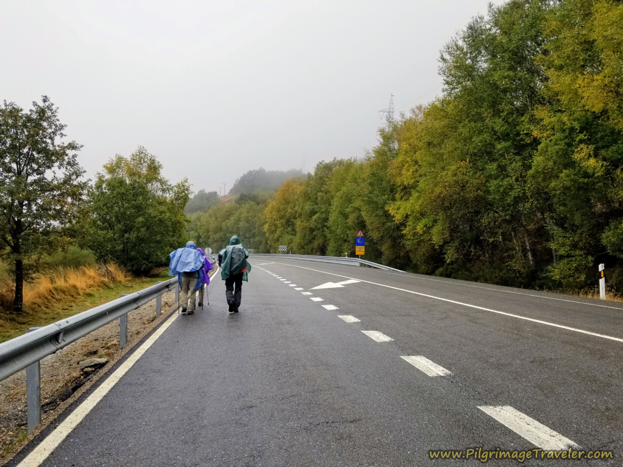 More Rain, More N-525 Walking!
After about 1.5 kilometers along this section of the N-525, and at around 22.9 kilometers, you come to the intersection with the ZA-106 shown in the next photo, below. The sign notes that it is two kilometers to Aciberos.
The only official route turns to the right at this intersection. In the past, the only way to Lubián was along the ZA-106, but in recent times there is a path that you follow instead.
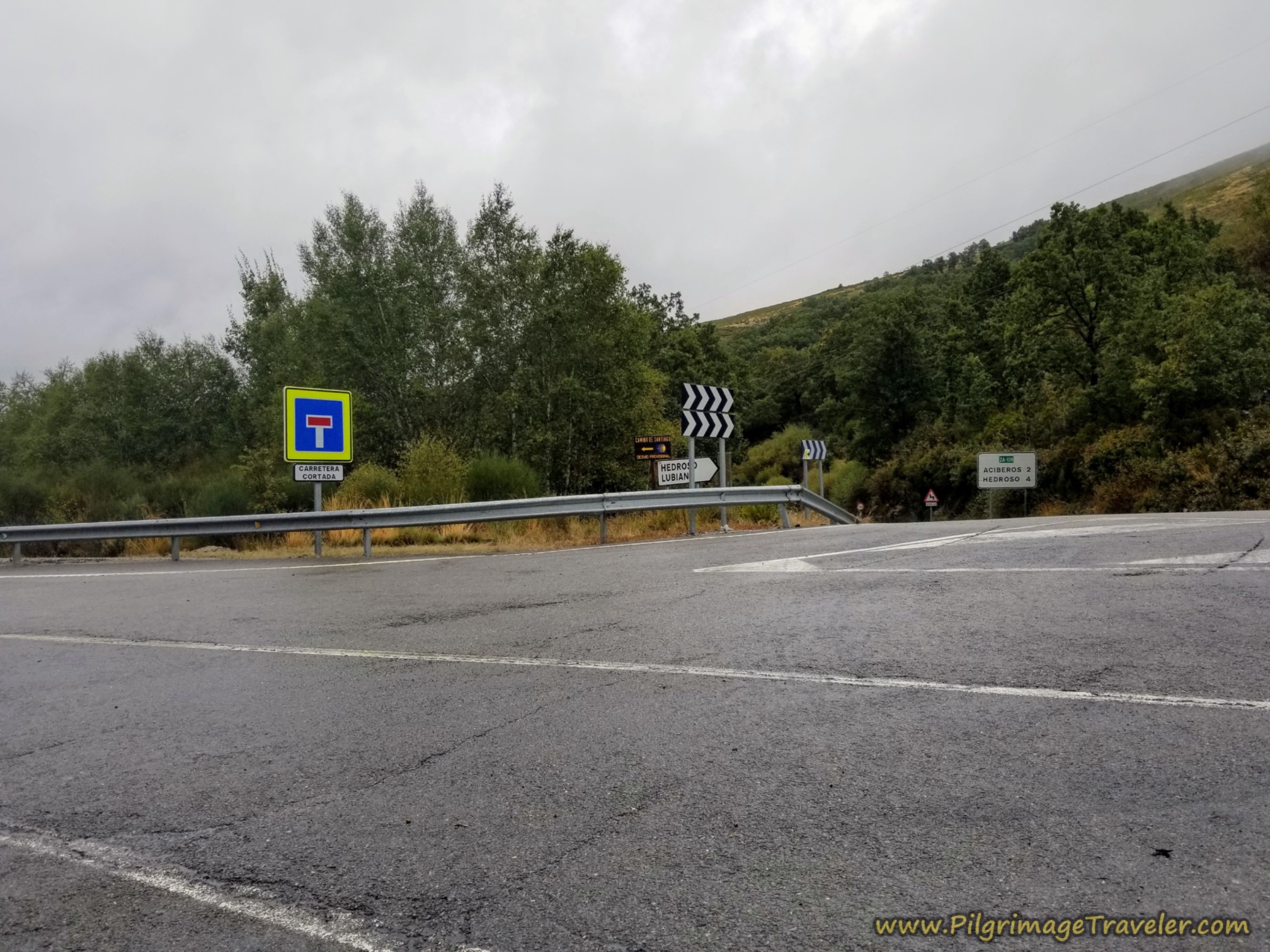 The Turn Towards Aciberos
It is only about 650 meters that you will need to walk on the ZA-106, when after a retaining wall on the left, you will be directed onto a path with a hard left, descending steeply.
Continue on this descending path that parallels the ZA-106, for about 3/4 kilometer, crossing a dirt road on the way, and join the pavement in the town of Aciberos after a total of about 24.4 kilometers.
Continue on the pavement, turning right at the Ermita de Santa Ana. It is less than 300 meters to walk through the remainder of town. There are no services here at all. Walk by an old molin0 (grist mill) with visible wheels and a fountain with non-potable water along the way.
Leave town on a trail on the west side and the descent continues through the forest. After about one kilometer, you will cross a stream, followed by a short climb up to yet another AVE elevated viaduct, after about 25.9 kilometers. Cross under it and around it, reaching a tunnel under the old train tracks 100 meters later.
After walking through the tunnel, the final section of trail lasts about 1.6 kilometers and reaches another stream crossing on an old stone bridge, after a total of 27.3 kilometers for the day.
A few meters after the bridge, come to a T-intersection, and turn right for your final steps into Lubián.
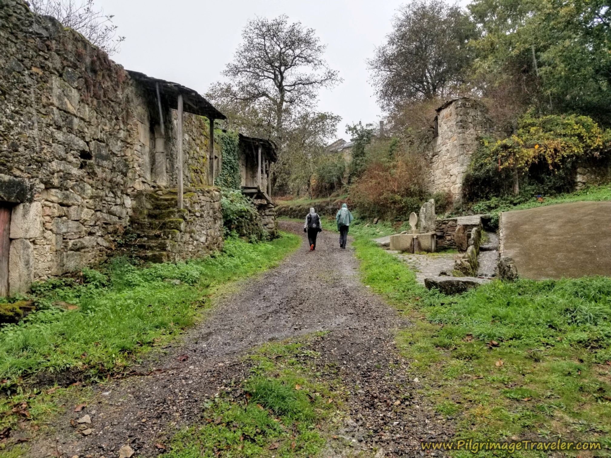
Below is a wonderful photo of the quaint, ruined part of the village as we entered it. There is a wonderful fountain to the right of Rich and Miguel, with a sculpted Camino shell. This water is non-potable.
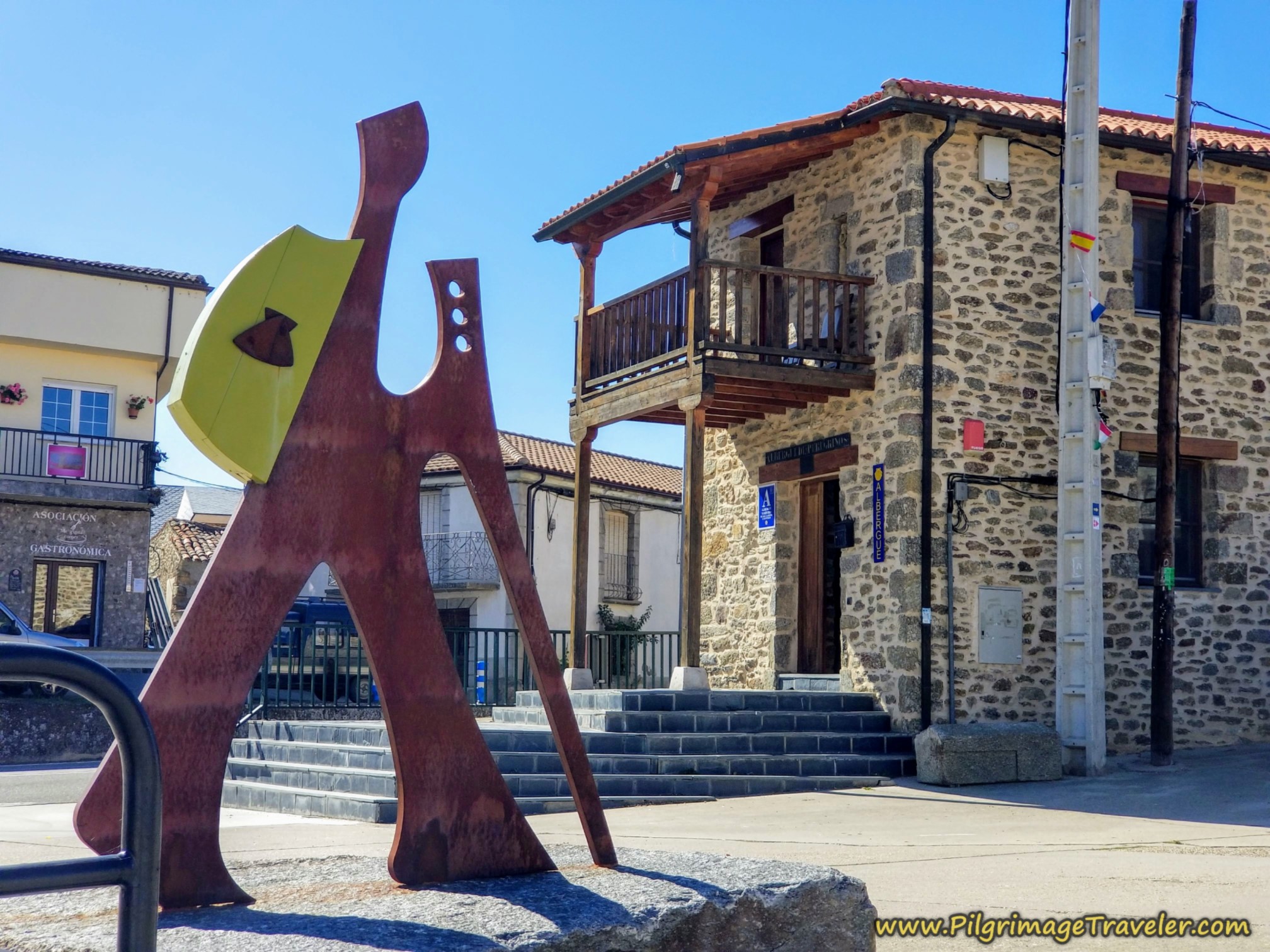
After entering Lubián, at these initial buildings, the albergue is only a few meters ahead, where the lane becomes pavement right at the building itself.
I must have been too cold and wet, as I failed to photograph the Albergue de Peregrinos de Lubián as I walked by. It is a quaint old stone building with 16 beds and was only 5 Euros! Its kitchen has only a refrigerator and a microwave to cook with. It provides no blankets or sheets.
The albergue does have heat that you are allowed to turn up as far as you want! Despite no dryer, with the heat turned up, Norm and Nadine, who chose to stay here, were able to hang their clothes inside and get them dry. There are 4 beds in the kitchen downstairs and 12 beds upstairs.
The paved Camino road takes a bend around the albergue, and continues up the hill into town. La Casa de Irene is only a few steps up the hill after the albergue. It is beautiful on the inside and outside and tastefully renovated.
However, the proprietor of this casa rural, I thought was rather unfriendly, to put it mildly and here is why: We asked if we could get some hot water, when we arrived, as we had our own tea bags. He referred us to the bars on the main street 1/2 kilometer away! All this despite the fact that we had arrived cold and soaked to the bone!
The proprietor did not turn on the heat that night, despite it getting down to 37 degrees Fahrenheit! He wouldn't allow Norm and Nadine to come for dinner at his house because they were not staying there! Ok, that I get. He's not a bar.
The hot water in the house was not working due to what he said was the construction in town. That maybe was so, since we witnessed the construction later, however it seemed to me that the least he could do for us then, would have been to turn on the heat for our comfort! Or he could have given us a discount instead of charging us full price. No heat and cold showers (which I refused to take and sponge bathed at the sink instead) was a bit much, don't you think? Call me spoiled, I guess.
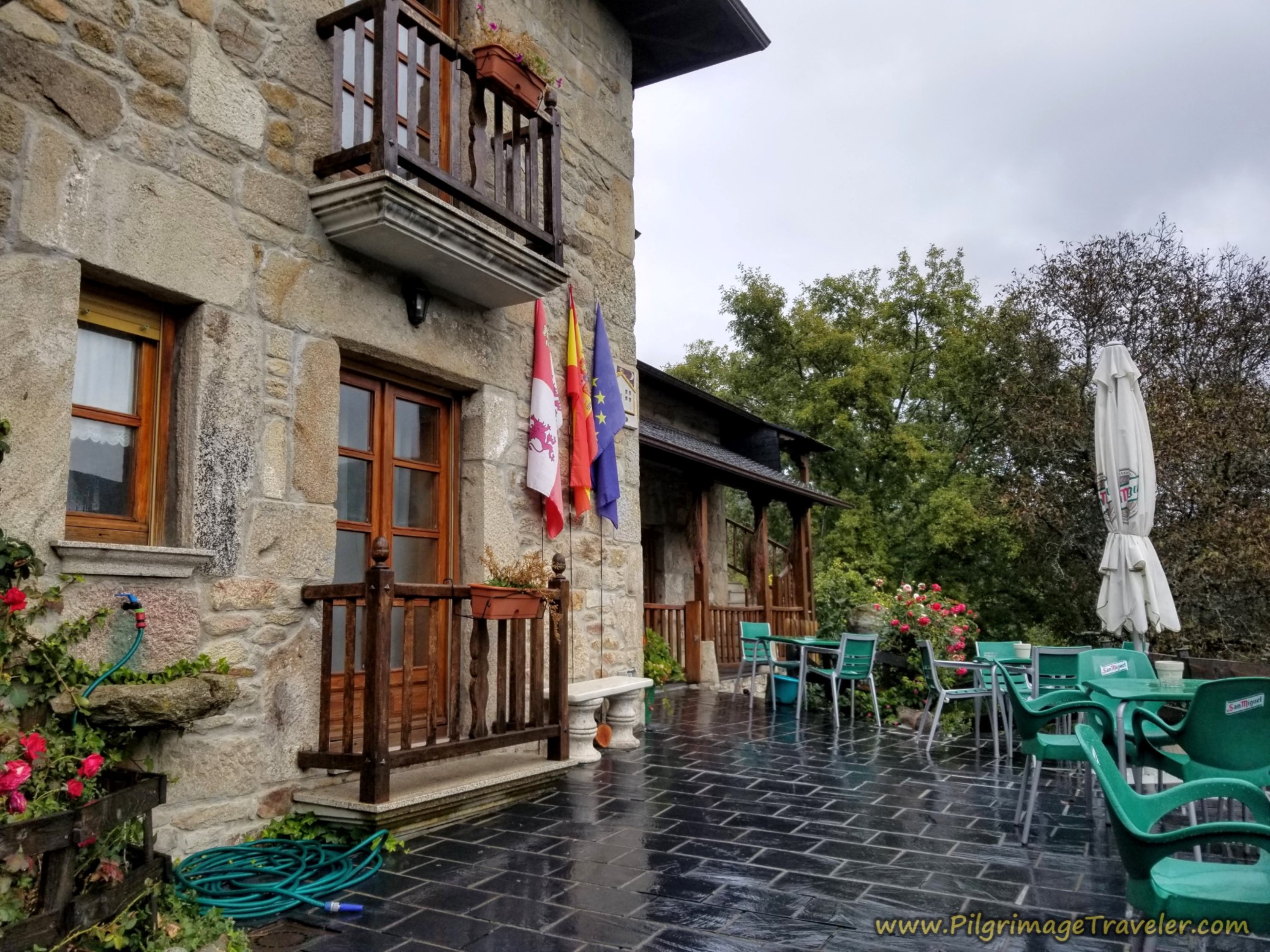 Casa Rural ~ La Casa de Irene
We had only been given one blanket for the cold night, and I huddled under the blanket with almost all my dry clothes on! It didn't help that we had wet clothes draped all over the room, adding an evaporative cooling effect! Brrr...shudder...brr!
If it were not for the absolutely fabulous breakfast we had the next morning, and his mood turned very friendly (perhaps because we were leaving??), I would definitely say this place is not worth the price. He only redeemed himself a bit with the lovely hot breakfast, but if I had to do it over again, had I known, I would have stayed in the warm albergue. Make your own choice wisely, if you are here in the rain in October.
Because we were unable to eat together at the Casa de Irene, the five of us went first for happy hour at the Bar Javi, up the hill on the main street, the ZA-106. It has a lovely and lively atmosphere. The Bar Javi also has the Casa Rural Val dos Pigarros (+34 980 62 40 68) with available rooms.
At least the booze warmed us up! I had hot coffee with a shot of crema de orujo. In fact, I think I had several!
This drink is a bit like having a kahlua and coffee, with the yummy, creamed liquor of the Spanish version of fire water, orujo, made from distilled grapes. Most bars make their own creamed version, mixing orujo, sugar and cream. You have to order the crema de orujo as a shot on the side, as the Spaniards drink it alone and very cold. I just order a café Americano, with a chopito (shot) of crema de orujo, and mix the two together. Yum, yum! It definitely adjusted my attitude as it warmed my belly.
Then for dinner, we five chose the second bar, the Bar Estrella, to share the wealth, also on the main street, because they advertised, quite wisely for pilgrims, an early dinner beginning at 7:00 p.m. However, I cannot recommend their food, as my "cordon bleu" was a frozen, breaded patty that was flash fried. Ugh. And Rich ordered calamari, I know not why, as it was frozen and not very appetizing.
Maybe we should have switched the order of the bars for the best outcome!
All clustered together in the center of town there are four additional accommodations, the Casa Jardin Mariana, the Casa Mariana, the Casa Cesar and the Buhardilla Cesar.
Reflections on Day Six of the Camino Sanabrés, Puebla de Sanabria to Lubián
It always takes a certain amount of fortitude to walk all day in the rain, and we felt the necessary commitment on this day. The Camino newbies met the challenge, without complaining, on their first full day of rain.
Autumn rain can be beautiful indeed and despite our discomfort, I at least enjoyed most of the day. My only sorrows were the mild discomforts I experienced. Fortunately, I carried no personal sorrows other than my concern for my friend and her ongoing limp.
We made a new Spanish friend, who willingly became our guide and ambassador. His energy brought a new dynamic to our walk. It felt like a good thing, adding yet another dimension to our group.
Salutation
May your own day on the Camino Sanabrés from Puebla de Sanabria to Lubián have fair weather, and if it does not, may your sorrows walk the sodden lanes and yet continue to see the beauty that is there! Ultreia!
Camino Fonseca Stages
~ Vía de la Plata Stages from Salamanca
~ Camino Sanabrés Stages
Please Consider Showing Your Support
Many readers contact me, Elle, to thank me for all the time and care that I have spent creating this informative website. If you have been truly blessed by my efforts, have not purchased an eBook, yet wish to contribute, I am exeedingly grateful. Thank you!
Search This Website:
🙋♀️ Why Trust Us at the Pilgrimage Traveler?

We’re not a travel agency ~ we’re fellow pilgrims! (See About Us)
We've trekked Pilgrimage Routes Across Europe since 2014!
💬 We’ve:
- Gotten lost so you don’t have to. 😉
- Followed waymarks in the glowing sunlight, the pouring rain and by moonlight. ☀️🌧️🌙
- Slept in albergues, hostels & casa rurals. Ate and drank in cafés along the way. 🛌 😴
- Created comprehensive and downloadable GPS maps and eBook Guides, full of must-have information based on real pilgrimage travels. 🧭 🗺️
- Shared our complete journeys, step by step to help YOU plan your ultimate pilgrimage and walk with your own Heart and Soul. 💙✨
Every detail is from our own experiences. Just fellow pilgrims sharing the Way. We have added a touch of spirituality, heartfelt insights and practical guidance from the road ~ offering a genuine connection to the spirit of pilgrimage. Tap into the wisdom of seasoned pilgrims!
Ultreia and Safe Pilgrimage Travels, Caminante! 💫 💚 🤍
Follow Me on Pinterest:
Find the Pilgrimage Traveler on Facebook:
Shroud Yourself in Mystery, along the Via de Francesco!
Walk in the Footsteps of St. Francis, and Connect Deeply with the Saint and to Nature in the Marvelous Italian Countryside!
Need suggestions on what to pack for your next pilgrimage? Click Here or on the photo below!
Find the Best Hotel Deals Using This Tool!
Carbon Trekking Poles ~ My Favorites!
Carbon fiber construction (not aluminum) in a trekking pole makes them ultra lightweight. We like the Z-Pole style from Black Diamond so we can hide our poles in our pack from potential thieves before getting to our albergue! There are many to choose from! (See more of our gear recommendations! )
Gregory BackPack ~ My Favorite Brand
Do not forget your quick-dry microfiber towel!


