- ~ Home
- ~ Vía de la Plata (The Silver Way)
- Calzada de Valdunciel to El Cubo de Tierra del Vino
Jump to Vía de la Plata Stages
Vía de la Plata, Calzada de Valdunciel to El Cubo de Tierra del Vino, Day Two, 19.8 Km (12.3 Miles)
Our day two on the Vía de la Plata, from Calzada de Valdunciel to El Cubo de Tierra del Vino was not very beautiful, necessitating a walk paralleling the A-66 highway for practically the entire day and except for one small Ermita, had very little visual interest.
🙋♀️ Why Trust Us at the Pilgrimage Traveler?
We’re not a travel agency ~ we’re fellow pilgrims! (See About Us)
We've trekked Pilgrimage Routes Across Europe since 2014!
💬 We’ve:
- Gotten lost so you don’t have to. 😉
- Followed waymarks in the glowing sunlight, the pouring rain and by moonlight. ☀️🌧️🌙
- Slept in albergues, hostels & casa rurals. Ate and drank in cafés along the way. 🛌 😴
- Created comprehensive and downloadable GPS maps and eBook Guides, full of must-have information based on real pilgrimage travels. 🧭 🗺️
- Shared our complete journeys, step by step to help YOU plan your ultimate pilgrimage and walk with your own Heart and Soul. 💙✨
Every detail is from our own experiences. Just fellow pilgrims sharing the Way. We have added a touch of spirituality, heartfelt insights and practical guidance from the road ~ offering a genuine connection to the spirit of pilgrimage. Tap into the wisdom of seasoned pilgrims!
Ultreia and Safe Pilgrimage Travels, Caminante! 💫 💚 🤍
“To have courage for whatever comes in life - everything lies in that.” ~ Santa Teresa de Jesús (de Ávila)
Going forward, our courage was strong on this second day, despite my personal lingering issues with my left knee. As in any pilgrimage, it was one foot in front of the other. And this is essentially a flat, easy day. The majestic, evergreen live oaks kept us company, as well as our company with one another, interspersed with individual silence.
Maps and Stats of Day Two on the Vía de la Plata, Calzada de Valdunciel to El Cubo de Tierra del Vino
Here is our interactive map of this day's journey. There are no services for the entire day, so be sure you have a stocked pack with water and food for the whole 20 kilometers.
There is one tienda in El Cubo, the Alimentación E & M, several meters off-Camino, however, she is open for very limited hours, around the noon hour for 1-3 hours only, depending on the day and closed on Sundays. She told me that if there are pilgrims at the albergue, she will open again at 7:00 p.m. briefly. If you are intending to continue onward to Villanueva de Campeán and you need to replenish your pack, you need to plan accordingly!
There is also one bar and one restaurant in El Cubo, so if you arrive when the tienda is closed and need food for the road you may be able to get some food to go from one of them.
Fortunately, the Bar Hernández is open from 0800-midnight every day. However, the Casa Iván, being a restaurant, is only open for lunch.
There is only one accommodation in El Cubo, the private Albergue Turístico Torre de Sabre, (+34 633 42 43 21) and it has only 10 beds. It is a private home, with variously configured rooms, some with bunks. It may be prudent to text ahead via WhatsApp to ensure there is a bed for you, before you arrive.
Otherwise your choice is to taxi (ask at the bar) or walk onward another 13 kilometers to Villanueva de Campeán, for a total of 33 km.
If Villanueva de Campeán is your destination, there is no bar in this small town, and no tienda, so you must stock up in El Cubo, or purchase a meal plan with your accommodation. See day three for your two accommodation choices.
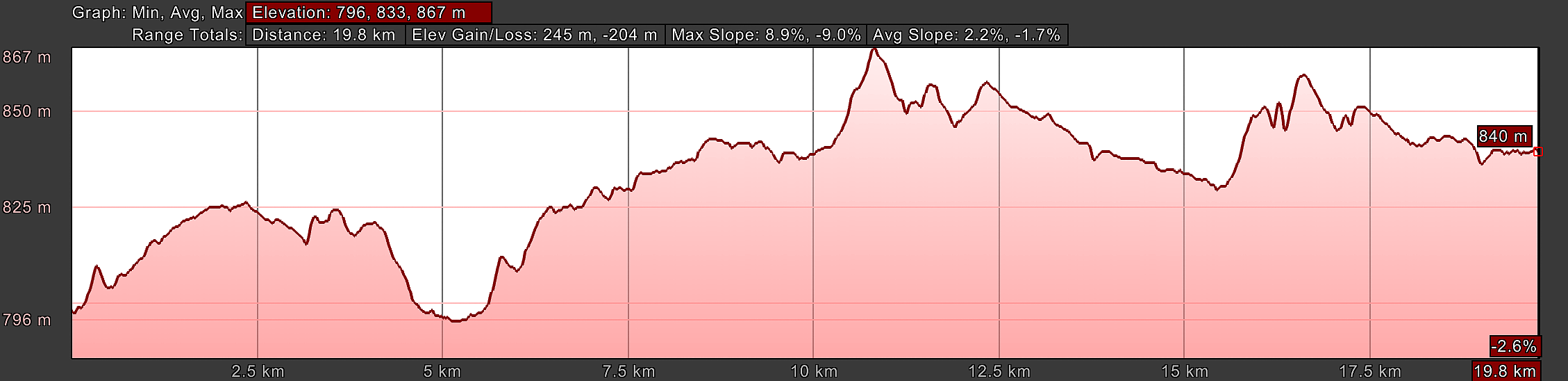
There are undulating hills as you walk along the highway, see the elevation profile below. You can also see there is a long, gradual rise of about 50 meters (164 feet), unnoticeable over six kilometers, after you cross the Cañedino river.
👣 Camino Sanabrés EBook:
Offline Guide with Bonus Route
~ Includes 4-5 additional days on the Vía de la Plata from Salamanca!
Walk smarter with our ad-free, beautifully formatted Camino Sanabrés eBook Guide, perfect for offline use ~ important in the mountainous and remote areas. Includes daily stage details, stunning photos, historical background and a BONUS digital guide on the Vía de la Plata from Salamanca, called the Camino Fonseca. This allows you the opportunity to add 4-5 more days to your Camino in the beginning.
Don't carry a hard copy guide book to increase your pack weight. Use our frequently updated digital guide on your next Camino instead!
📲 Instant download. 💸 Money-back guarantee. 🔄 Free updates for 1 year.
👉 Click here for more info or BUY NOW!
Jump to Vía de la Plata Stages
Photo-Rich Travelogue of Day Two on the Vía de la Plata, Calzada de Valdunciel to El Cubo de Tierra del Vino
We set out for the day, from the quaint and cozy Albergue de Peregrinos de Calzada de Valdunciel, turning right at the Miliarios Romanos and crossing the arroyo, where the road immediately turns to dirt.
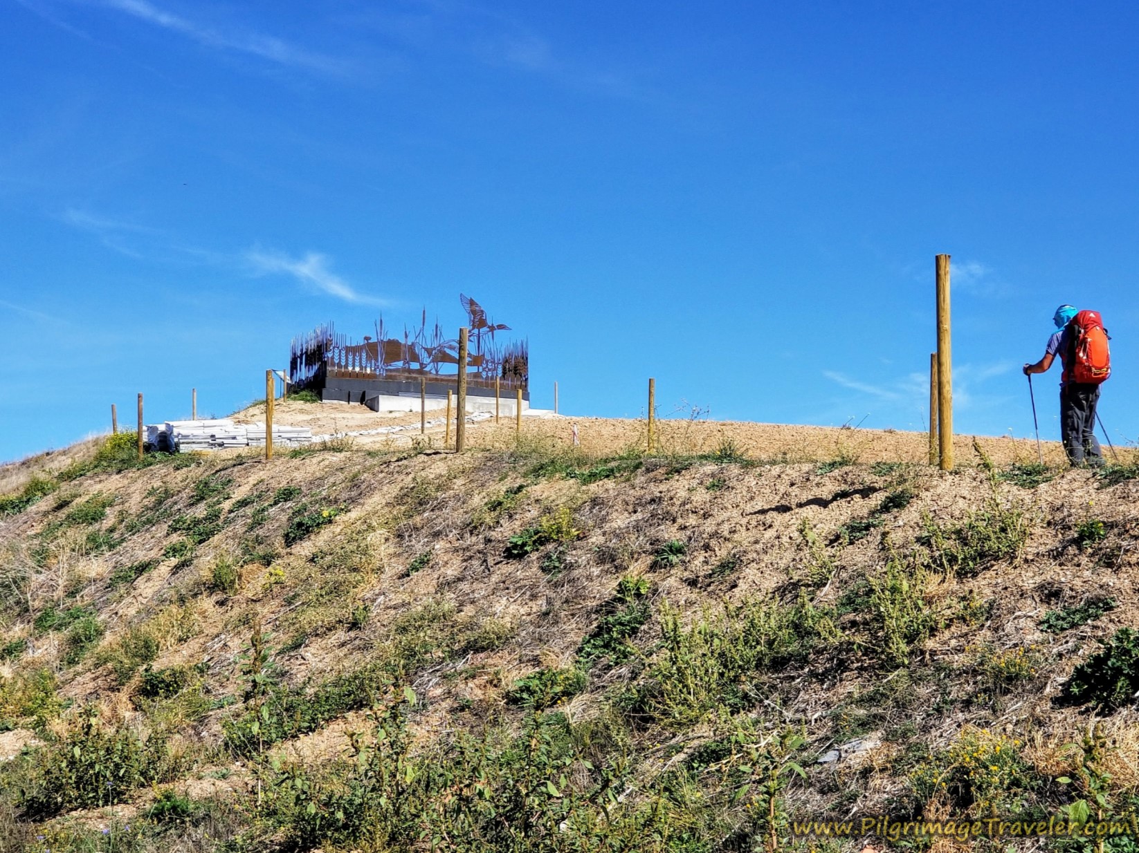
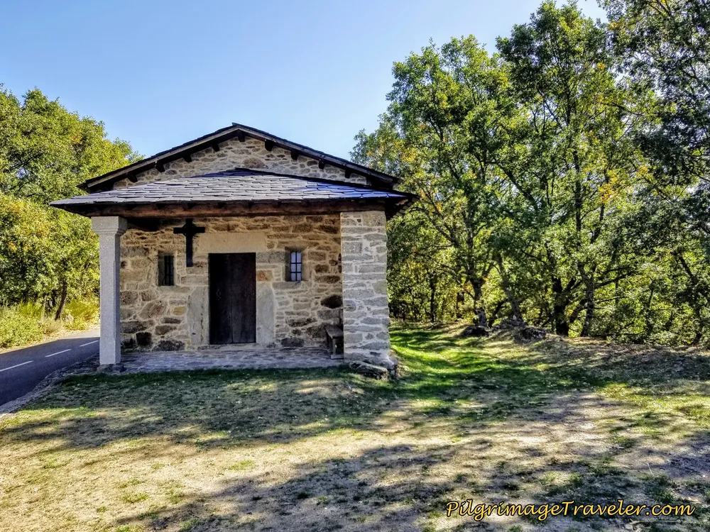
A few meters north of town, pass by this unnamed and newly built wayside chapel, below. And just beyond the chapel you can see the Mirador Ornitológico perched on a hill to your right. This is a wildlife preserve, with a viewing platform for birding. Just to the east of this mirador, or look-out is a small lake that had very little water in it when we passed by.
The fresh morning air just around sunrise was wonderful, however it was going to be a hot day. About 1.1 kilometers from town the Camino turns to the right at this Y-intersection, shown next.
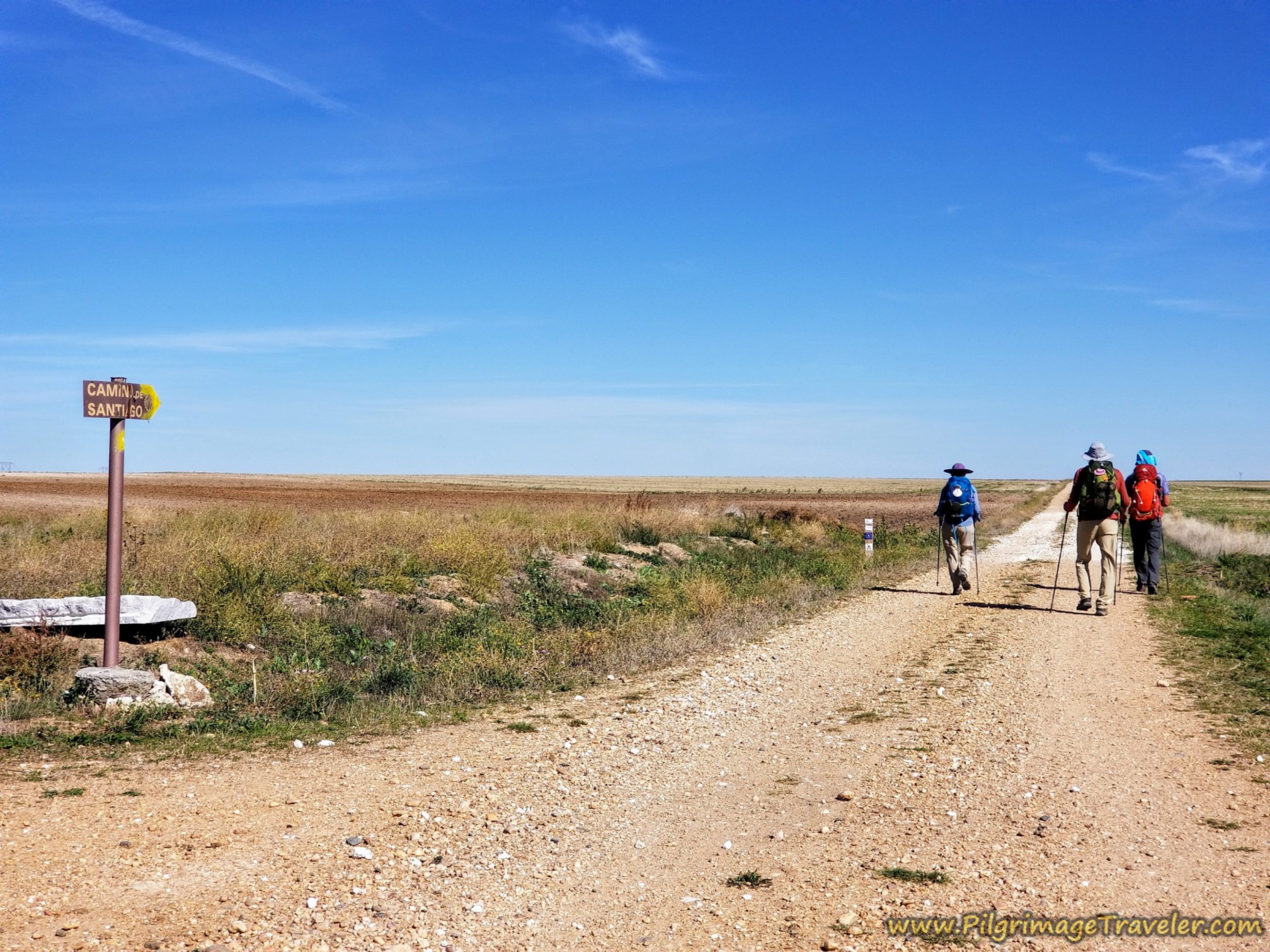 Stay Right by Pilgrim’s Placard
By about 1.6 kilometers later, the farm road narrows to become more of a tractor lane. The tractor lane comes to a big bend, following a fence line, after about 2.7 kilometers total for the day.
Continuing along the fenceline after the lane bends again to the east and toward the highway, barely seen ahead in the photo pictured below, when it meets the A-66 highway about 100 meters later.
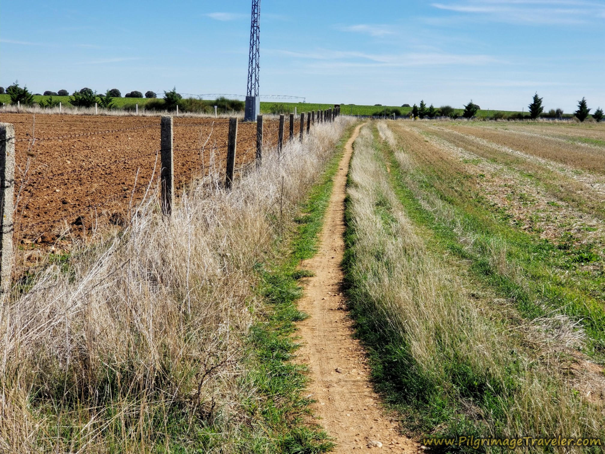 Continuing Along the Tractor Lane
The Vía de la Plata continues along another tractor lane northward as it parallels the highway, shown below. The highway is to the right of the high bank in the photo, and you can hear it well.
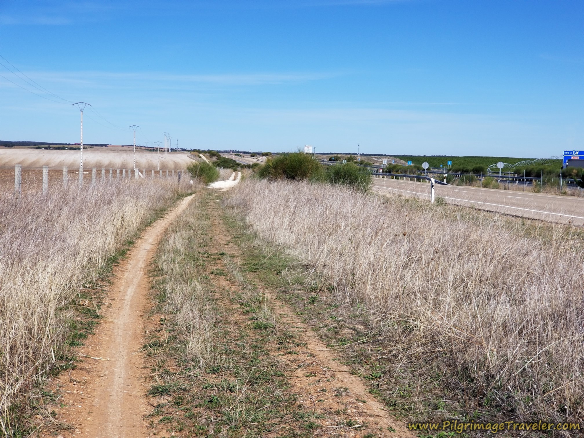 Parallel the A-66
The Camino continues to follow the tractor lane paralleling the highway and through a large interchange for 2.3 kilometers, until it comes to this overpass, pictured below. You are now at about kilometer 5.1 into day two.
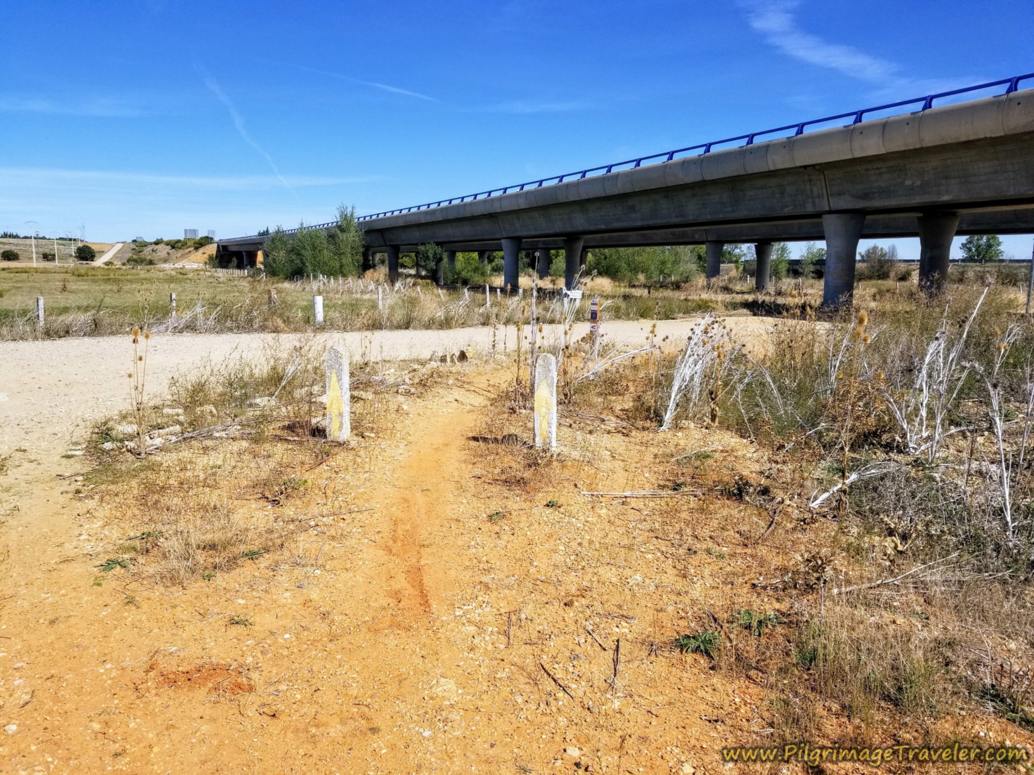 A-66 Overpass
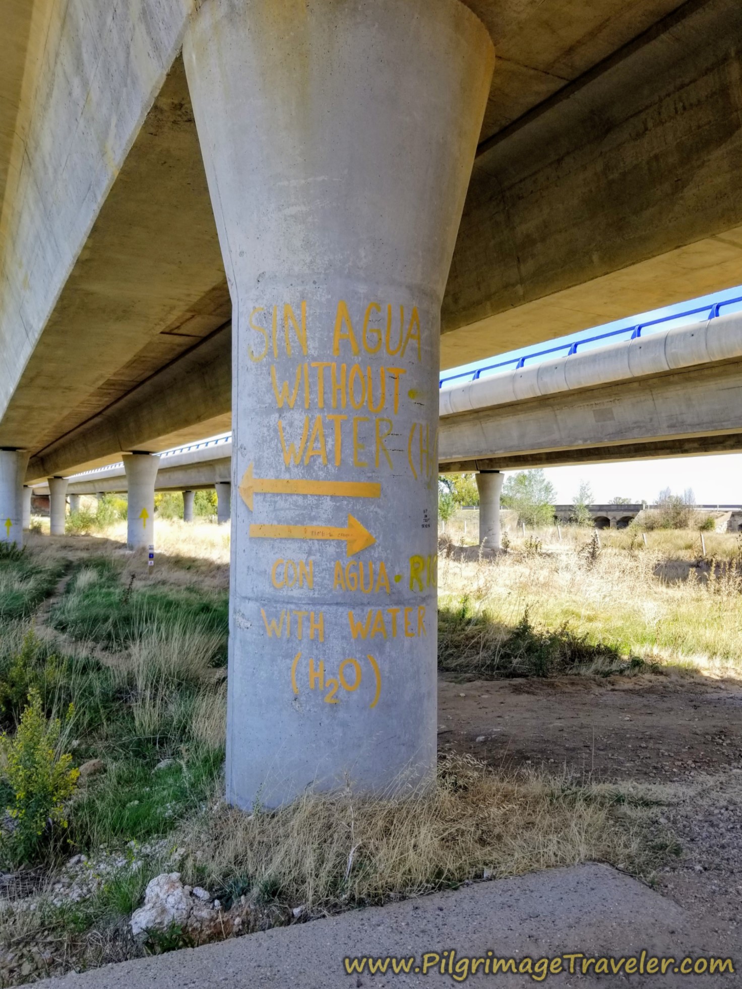
The path takes you underneath the A-66 and once there, you will see this most interesting direction on the bridge pylon, below. It says, "Sin Agua, Without Water," and an arrow to the left. "Con Agua, With Water," and an arrow to the right!
 To Detour or Not?
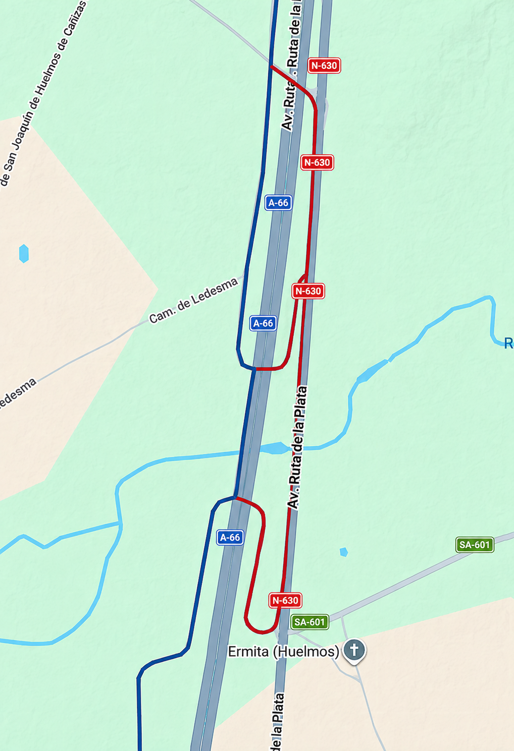
If there is high water under the bridge, and you will be able to figure that out, you must go to the right, then south along a dirt lane until it bends to the left and comes to a T-intersection with the N-630. Turn left (northward) until you reach the bridge crossing the River Cañedino, then pick up the dirt path on the other side to double back under the bridge on the other side. Below is a map showing you this detour in red.
 The Route in Blue and Red Alternatives
You can also see on the map above, a second shorter option. Once on the N-630, instead of turning left after the river crossing and onto the officially signed detour, it will save you a few steps if you continue onward along the highway a few more meters, taking a left at the first paved road.
Continue under the A66 and the first right hand turn will be the Via de la Plata. This continuation will save you about 400 meters. There are actual supplementary yellow arrows to reassure you that this shortcut is legitimate.
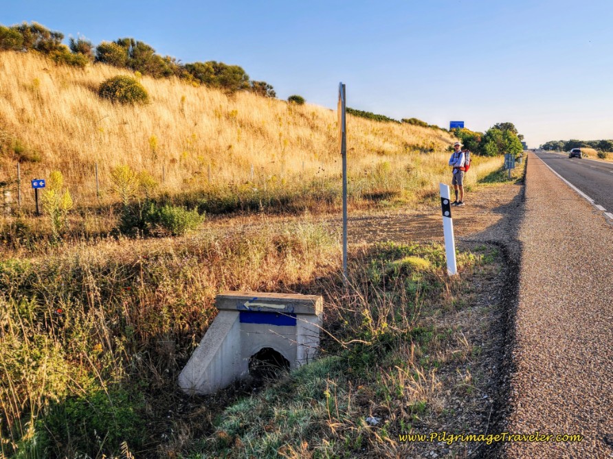
Below is a photo of the detour along the N-630 and the left turn onto the path, from the N-630 back to the Camino. If you can expand the photo you may be able to see a yellow arrow on the sign behind Rich, telling you to continue ahead instead. This arrow was a bit confusing until I checked Google maps and figured out that it was indeed, a shortcut! Now you know!
 Detour Turns Back Toward Camino on this Path
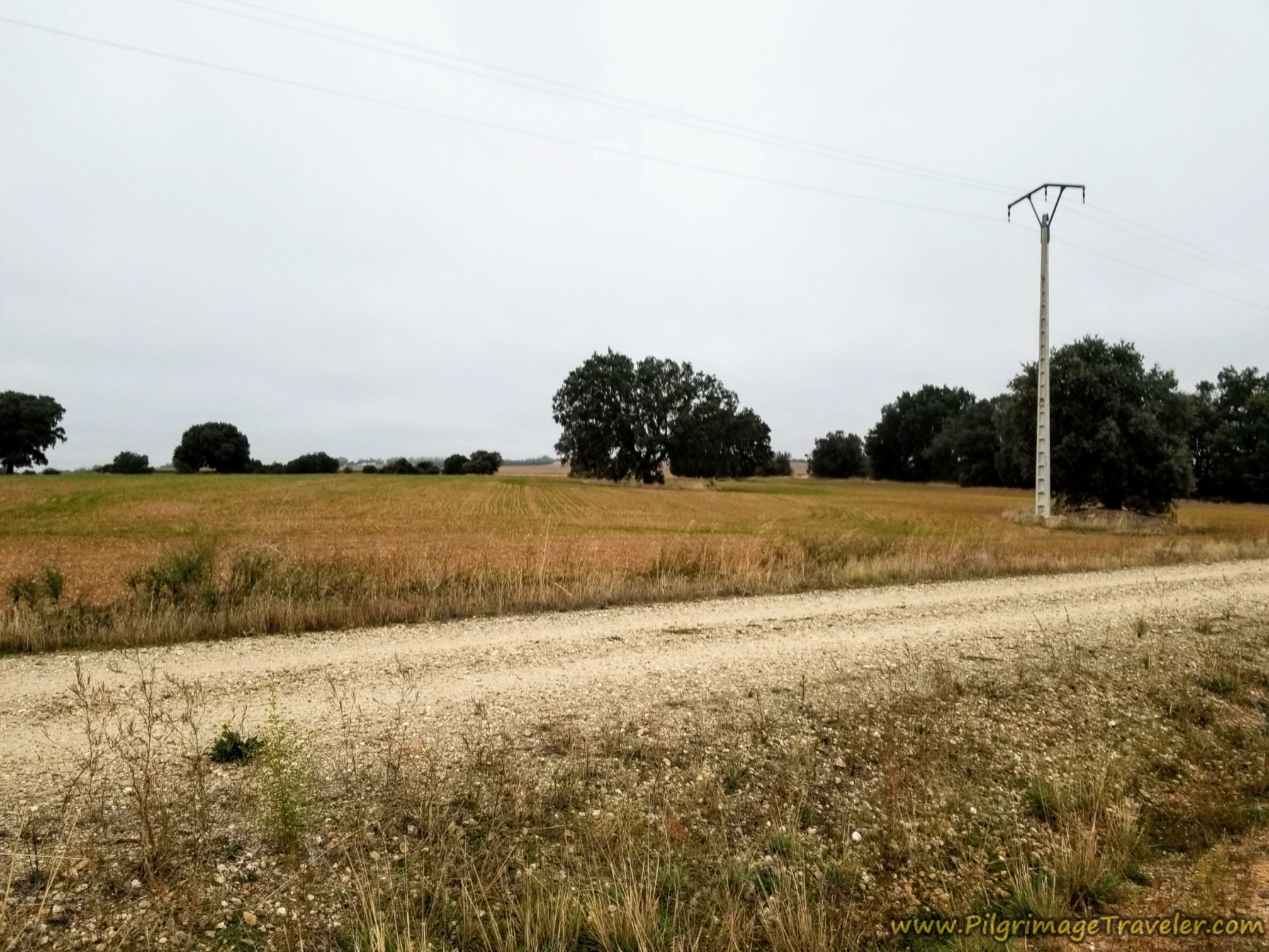
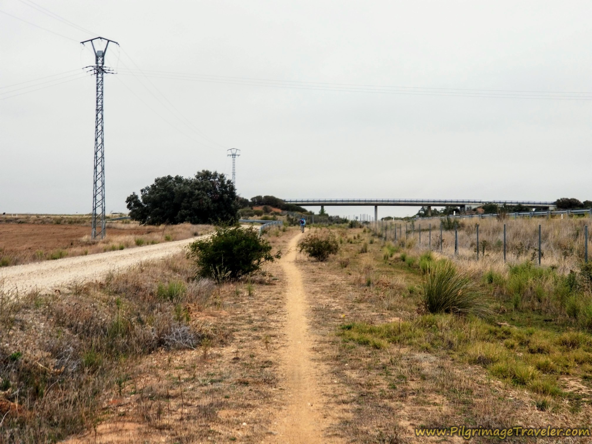
Back on the Camino and after the shortcut, in this section, the path and the gravel road run together side-by-side, and create a frontage Way that parallels the A-66 highway on your right.
 A Choice Between Gravel Road or Path
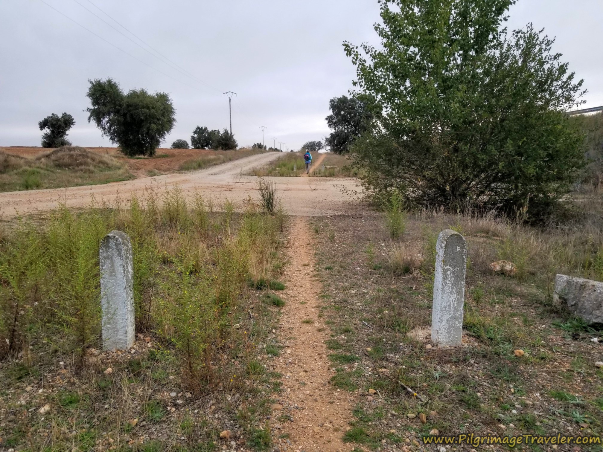
In addition, the locals have created these lovely concrete pillars to guide your steps, below.
However, we found the path to the right of the gravel road to be quite overgrown in places. I found myself switching back and forth. I used the path whenever possible, because I didn’t like the heavy gravel on the road. Rich usually chose the gravel road.
In the above photos and below, you can see the majestic, evergreen oak trees that surrounded us. In Spanish they are known as Encinos. They bear acorns which are used primarily for pig food. They don't harvest the acorns, but let the pigs root around below and eat them.
One of our hosts said that some people roast the acorns and eat them, but he thinks it's best that the pigs eat the acorns, and we eat the pigs!
Today my left knee was feeling a bit of a niggle. I had problems with it on the Camino Teresiano, the Camino that I had just finished. I self-diagnosed the condition as a patellofemoral injury, or "runner's knee" as it is commonly known. Runner's knee is an annoying pain immediately behind the kneecap.
The pain in my knee had started at around 15 kilometers on the fourth day on the way to Alba de Tormes. That night it got horribly sore. I had difficulty going up and down steps. The next day walking to Salamanca, it had been OK. The additional rest day in Salamanca helped. On our first day out of Salamanca (yesterday) it was OK, but my knee had stiffened up on that night.
Today, with just a "niggle" I was going to have to take it as it came, to see what happened. I was prepared for a plan "B" that included leaving the Camino if it became necessary. I was determined not to suffer a longer-term injury. I had nothing to prove.
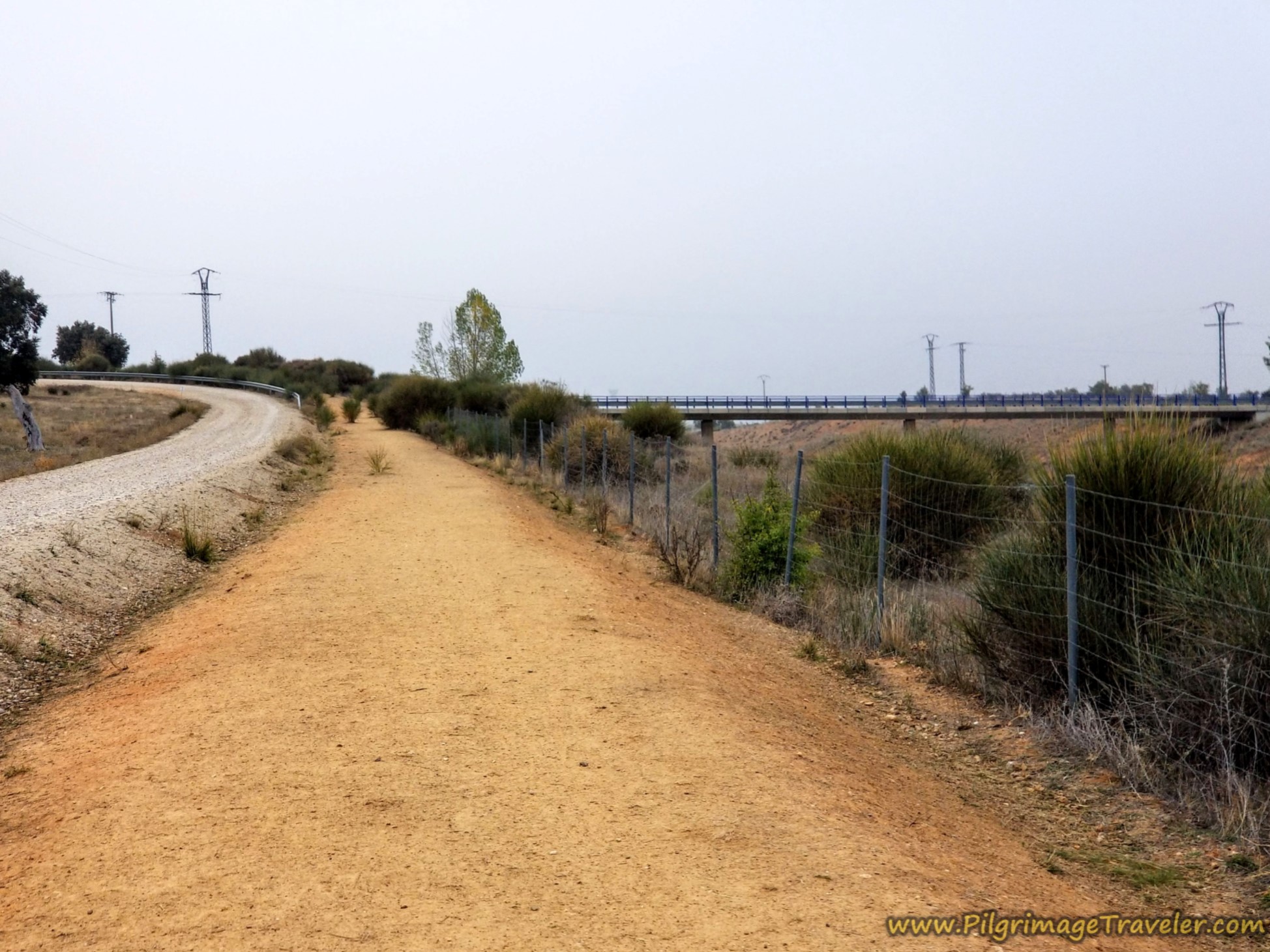
After about 8.4 kilometers into the day, you come to the first overpass of the A-66, pictured below. This is where you will take a diversion loop around to the west. This would be a common theme on this day, and you can see these diversions on the interactive Google map, above, if you zoom in.
It is at this intersection, where a turn off-Camino to the right, up and over the highway, and after another 2.2 kilometers is the Castillo del Buen Amor.
This is a 1000 year old and fantastically renovated castle where you can stay the night, for around 120 Euros for a double. Where else could you stay in a castle for this price?? Even though it was tempting, I never did make the choice to stay here. For a stay of only a few hours overnight, I just couldn’t justify the price.
Continuing along the Way there were some random grape vines, loaded with grapes. We picked and ate some and they were quite delicious. We were to find out in the kilometers to follow that it was actually grape harvest season, in early October.
After a few more kilometers, you will be able to see a rise in the land with a radio tower on the top. It is just after the large farm shown in the photo below. As you climb the rise, you will notice the second overpass of the A-66, but it is in the distance in the photo, and it is after about 10.8 kilometers into the day when you reach it.
 Second Overpass of the A-66 Ahead, with Radio Tower
At the top of the second overpass is a wayside chapel with a rooster on its top, below, a few steps off-Camino. The radio tower is across the street, not pictured, and is right along the Camino.
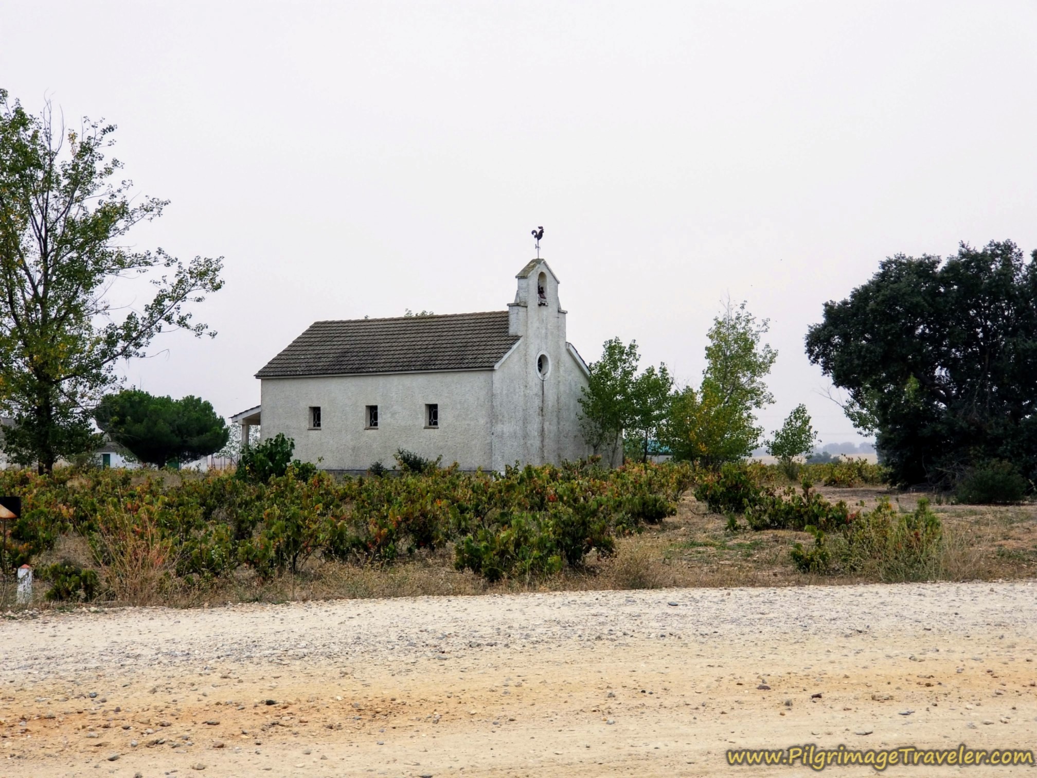 Wayside Chapel at Top of Second Overpass
Since we were a few steps past the halfway point, we decided to take a picnic break at the chapel. It is not maintained, and the front door is broken. Because of this the interior is accessible, but there is nothing much left to see.
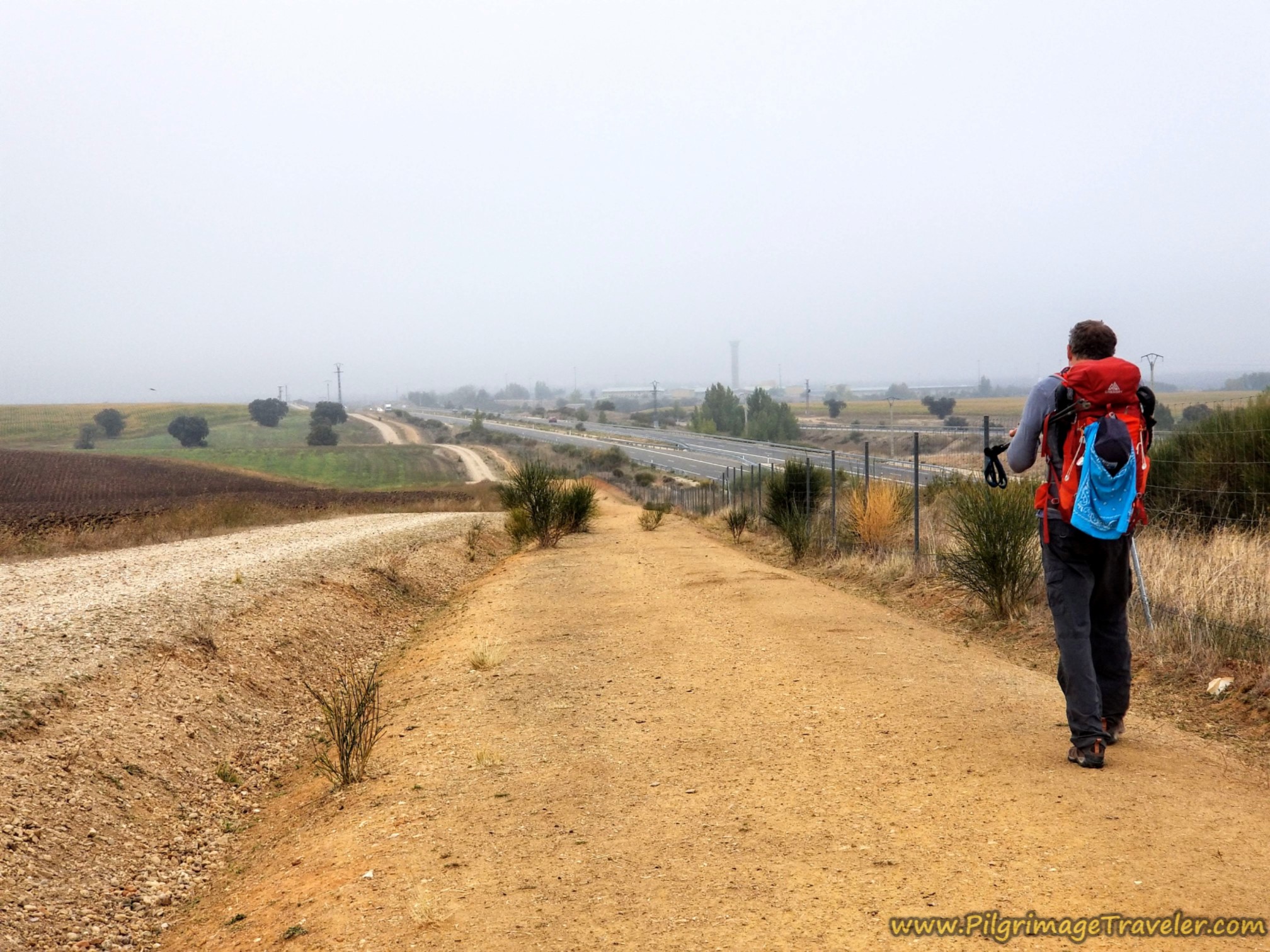
After our lunch break, sitting on the outside step of the chapel, we descended from the rise by the radio tower, to the other side and continued onward on the frontage lane, pictured below. This is a good shot of just how close the Camino is in proximity to the highway. Yet, it wasn't all that bad really. I was taking everything as it came.
After approximately 12.5 kilometers into the day on the Vía de la Plata from Calzada de Valdunciel to El Cubo de Tierra del Vino, the next landmark is the penitentiary shown below on the right side of the photo. You will see its guard tower in the distance, long before you pass it.
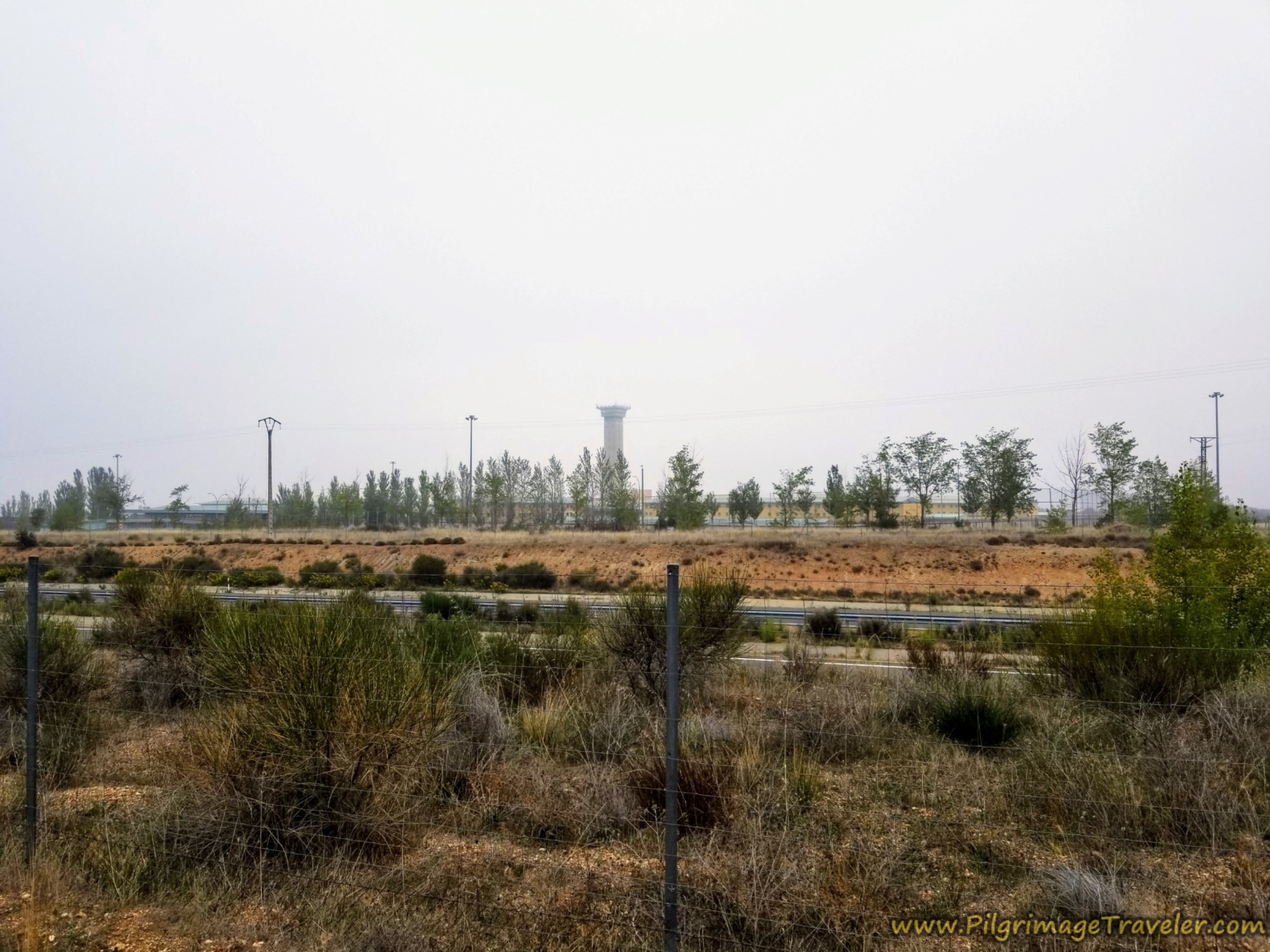 Penitentiary: Centro Penitenciario de Topas
Shortly after the penitentiary, we encountered these pillars with Roman numerals (VII) painted on them. At first I didn't understand the information. Was it a count-up or a count-down to something?
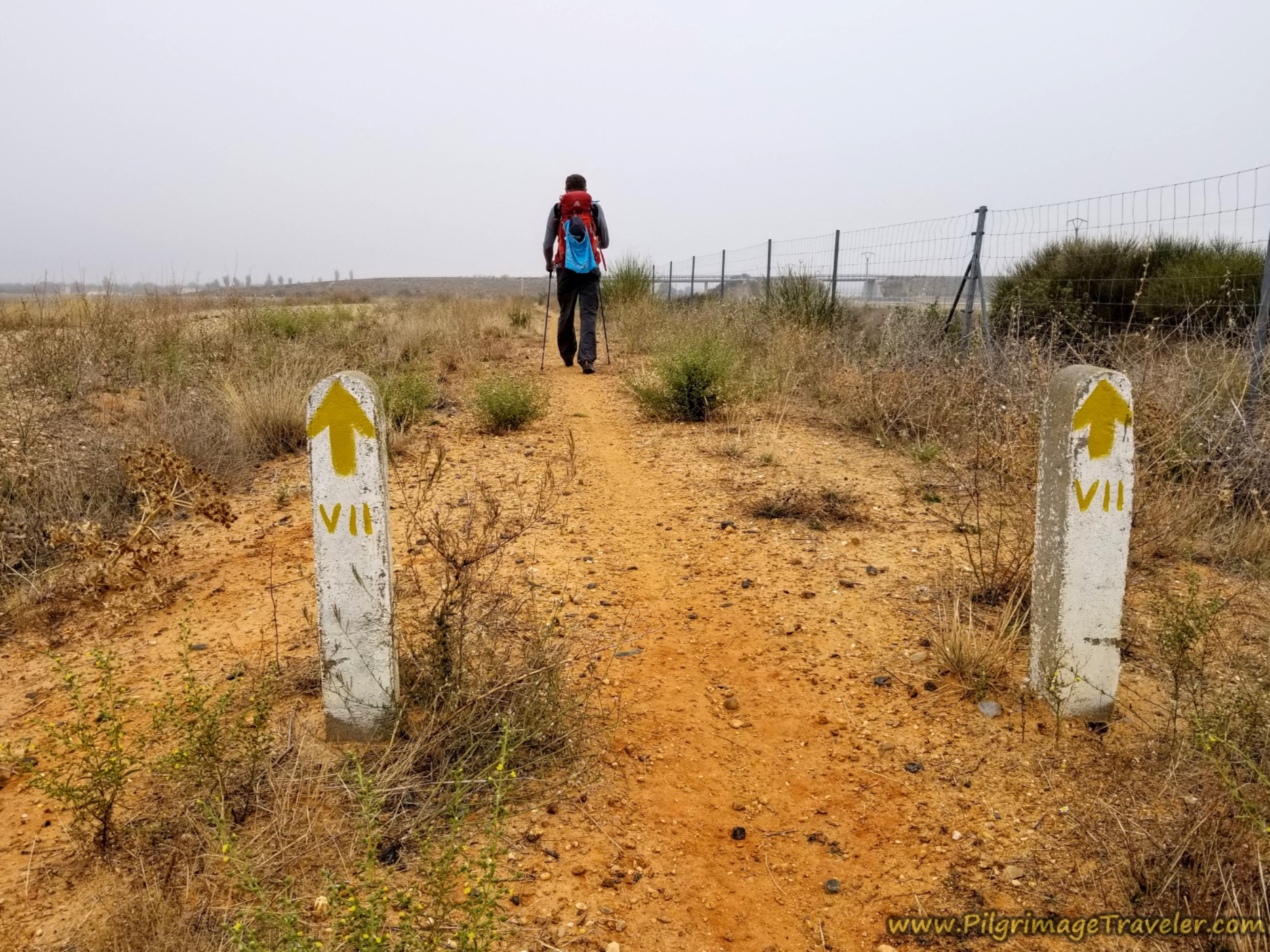 Pillars Counting Down?
Jump to Vía de la Plata Stages
After about 13 kilometers on the Vía de la Plata from Calzada de Valdunciel to El Cubo de Tierra del Vino, you come to the third diversion around an overpass.
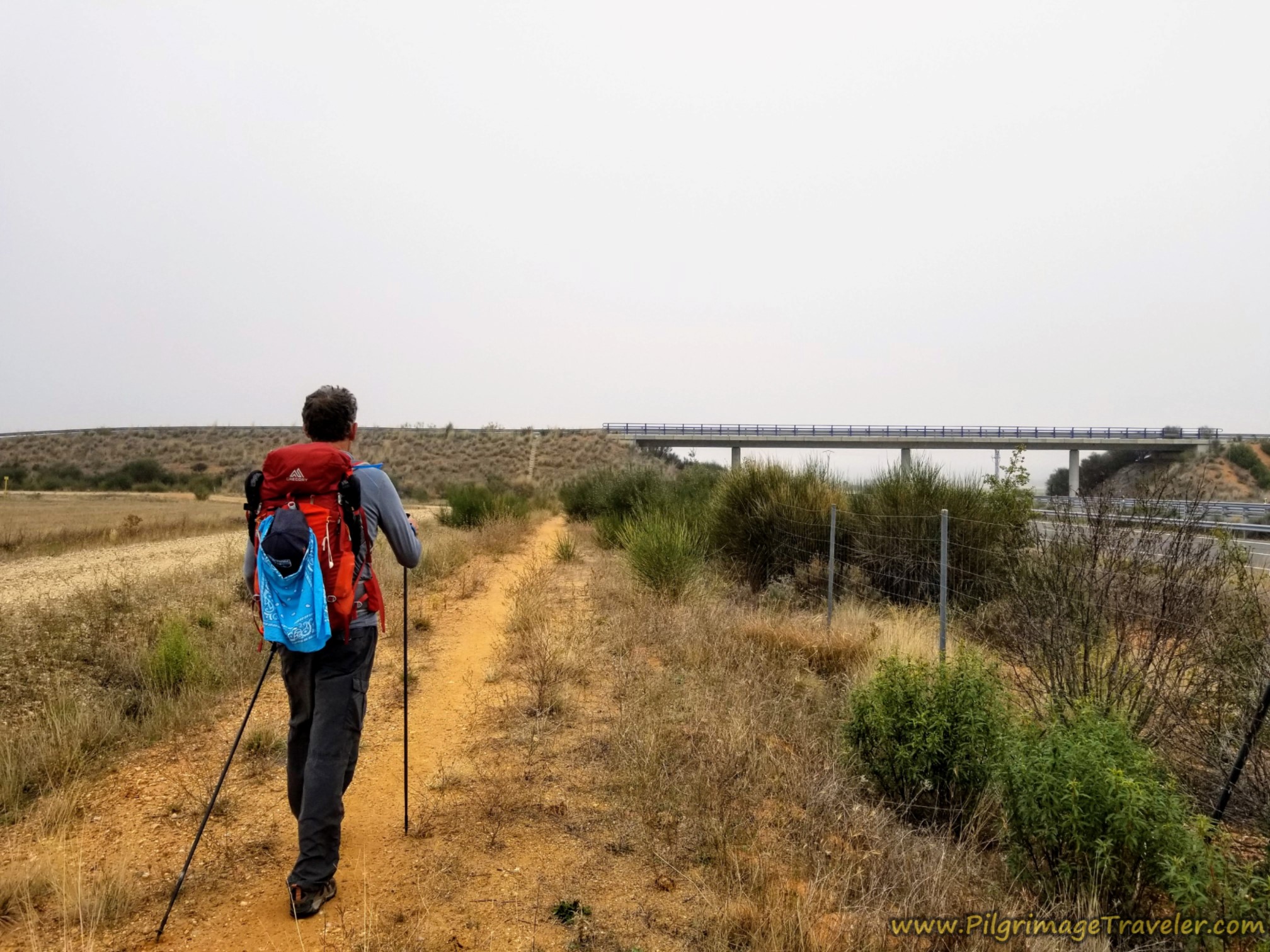
Immediately after rounding the third diversion, another set of pillars with the Roman numeral VI appeared, below.
Indeed, after about 13.7 kilometers into the day, this could only be a countdown to El Cubo de Tierra del Vino. Some Camino angel had provided this information to the pilgrimage traveler. It would have been very welcome information if I was doing the long 36 kilometer leg from Salamanca!
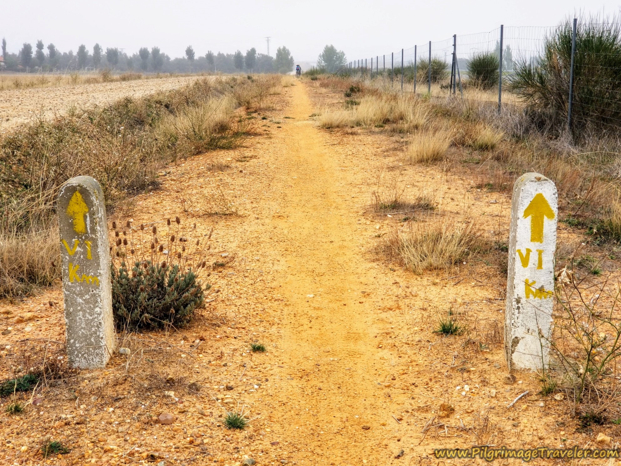 Six Kilometer Countdown to El Cubo de Tierra del Vino
In all my writings I have never used so many overpasses as landmarks, but indeed there is not much else out here to go by!
By about 14.3 kilometers, come to a fourth overpass, shown below.
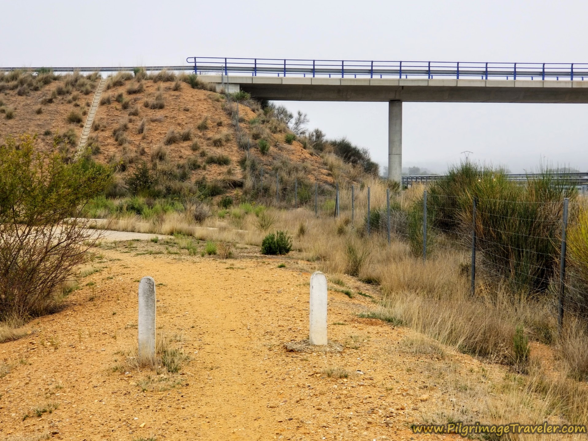 Fourth Overpass of the A-66
After only two countdown markings on the pillars, the countdown would now cease.
Ahead is another monotonous long stretch along the highway, and you can now see slight changes in the terrain. There were fewer trees and more scrubby, juniper-like plants.
After approximately 16.5 kilometers you come to the fifth and final overpass before you finally leave the frontage Way. When you pass this final bridge, shown below, there is less than one kilometer left along the highway. Hallelujah!
You can see we were using hands-free, reflective sun umbrellas to provide shade that was not available! These were a game changer for us in the hot sun!
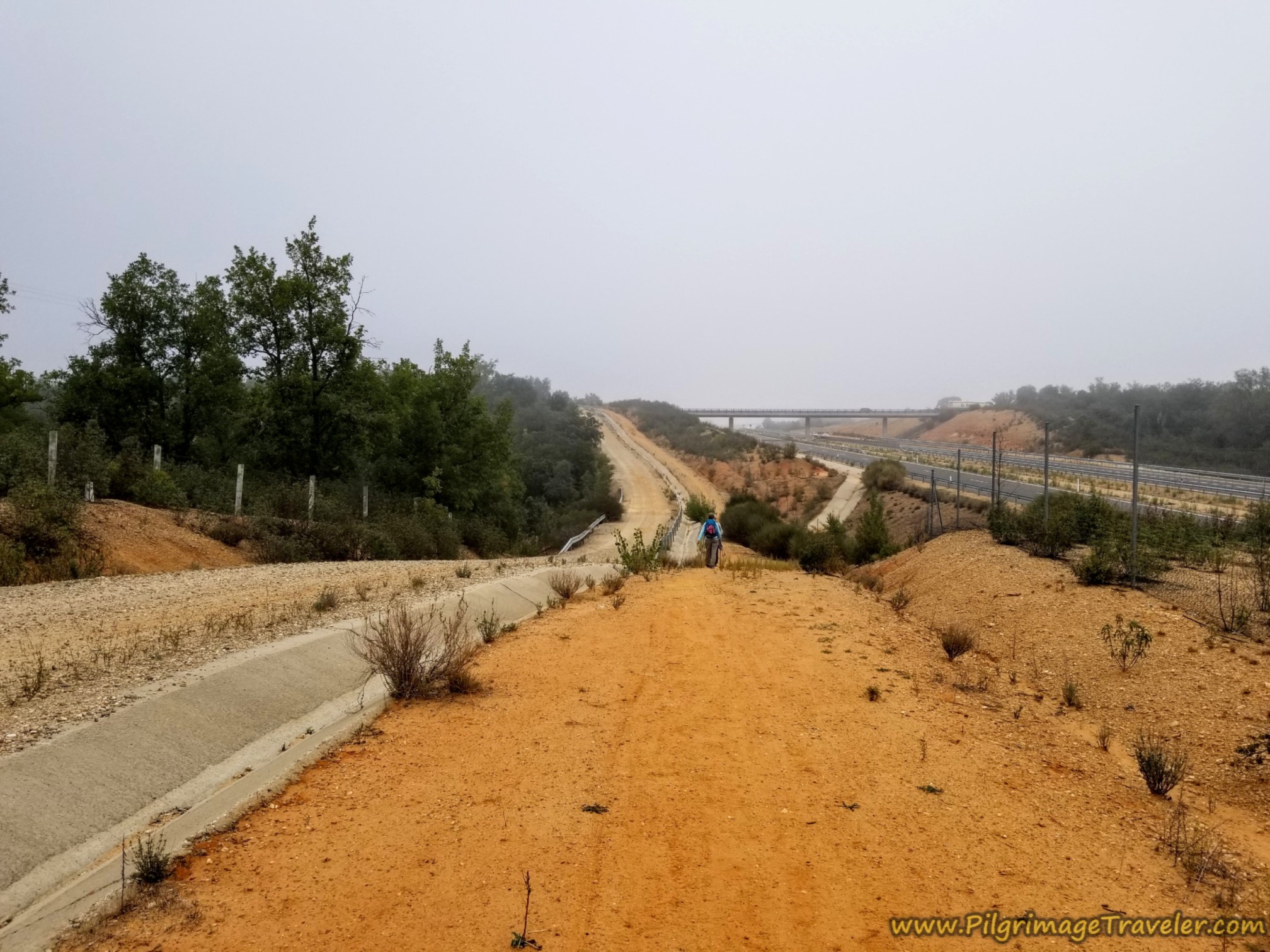 Fifth and Final Overpass Ahead
After about 17.5 kilometers, the white estate building on a hill ahead, shown below, is where the gravel road veers off to the left from the highway and turns to pavement.
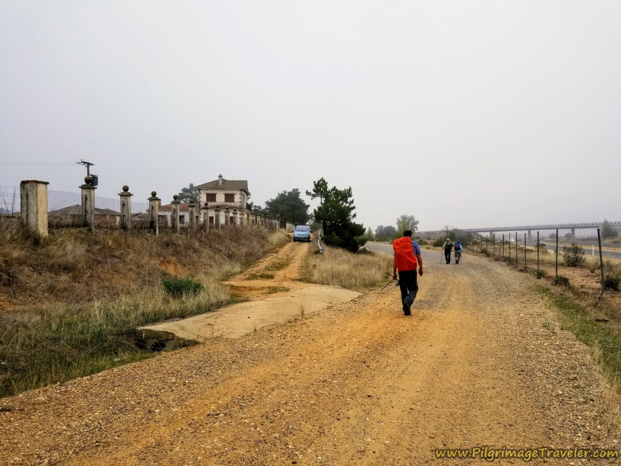 Veer Left at Estate
This paved road looks totally abandoned and overgrown, as if a development was supposed to happen through here and never materialized.
Follow this crumbling road about 1/2 kilometer, until it bends to the right and comes to a T-intersection with the N-630.
The Camino now follows the N-630 for about another 1/2 kilometer before turning left onto a shortcut path, just before this water tower shown below.
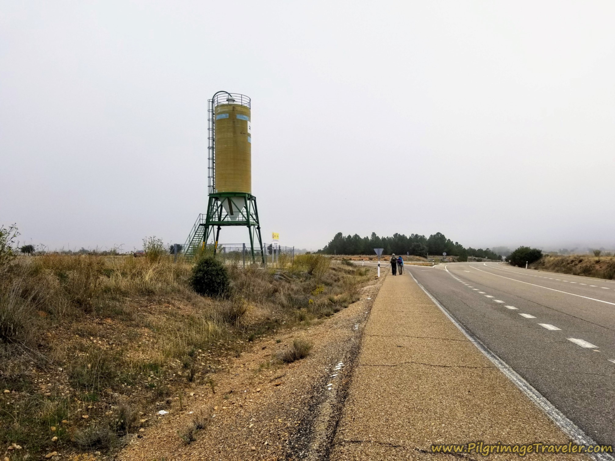 Turn Left Before the Water Tower
Next, you will turn onto the "Calle Mayor" the Main Street and the sign tells you that you are one kilometer away from El Cubo from here.
It is after about 19.3 kilometers into the day that you enter the outskirts of town and the town sign, shown below, on the Vía de la Plata from Calzada de Valdunciel to El Cubo de Tierra del Vino.
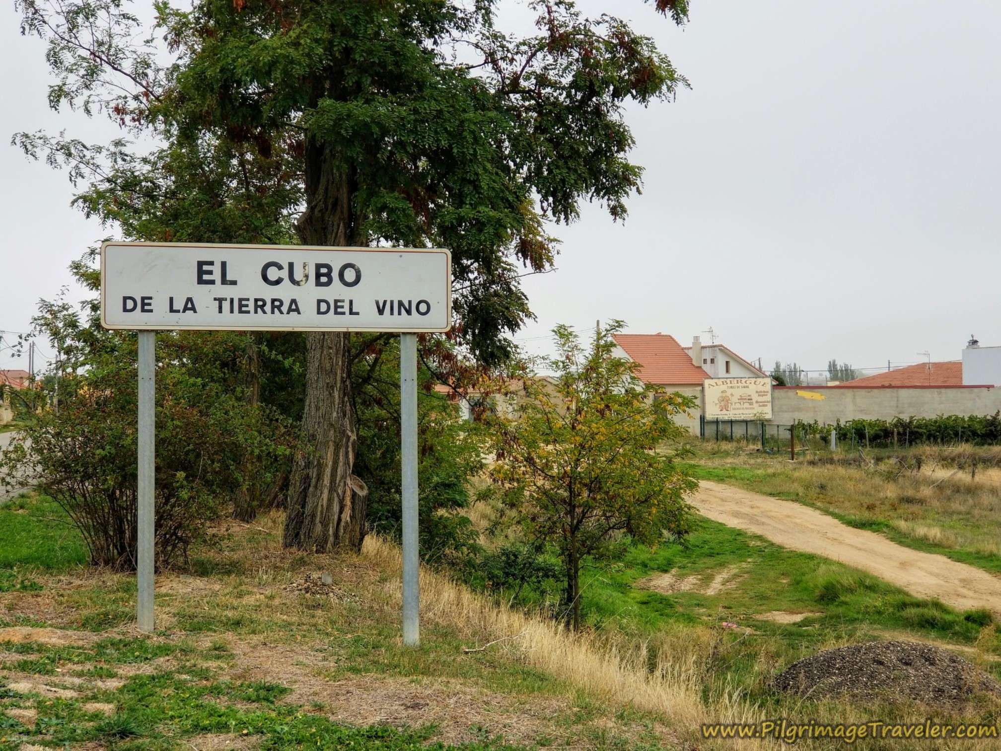
If you are looking for the only accommodation in town, the private Albergue Turístico Torre de Sabre, (+34 633 42 43 21), just after the town sign, turn right onto the parallel road. Follow it a few meters until you see these construction pylons, below. Turn right towards the pylons and cut through them. This is a shortcut to the street called the Calle de Ermita in front of the wall you can see in the photo.
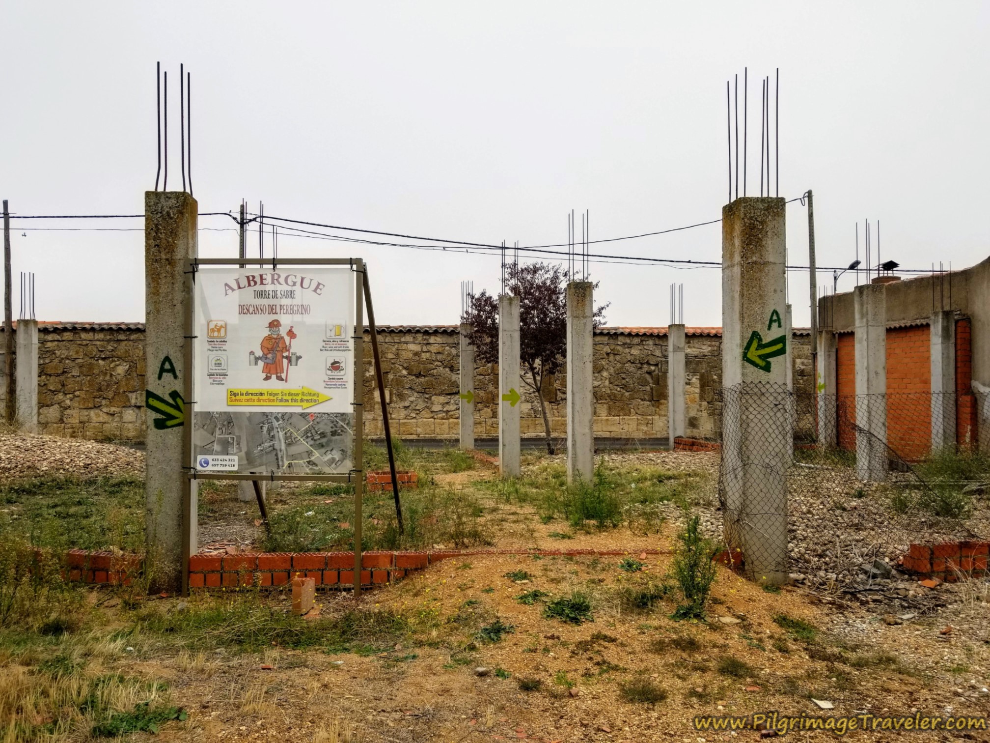 Shortcut to Albergue Turística Torre de Sabre
Turn right onto the Calle de Ermita. Walk another block, between two high walls, and turn left at the albergue sign onto the Travesa de Ermita. When the road ends a few meters later, there is the albergue, below.
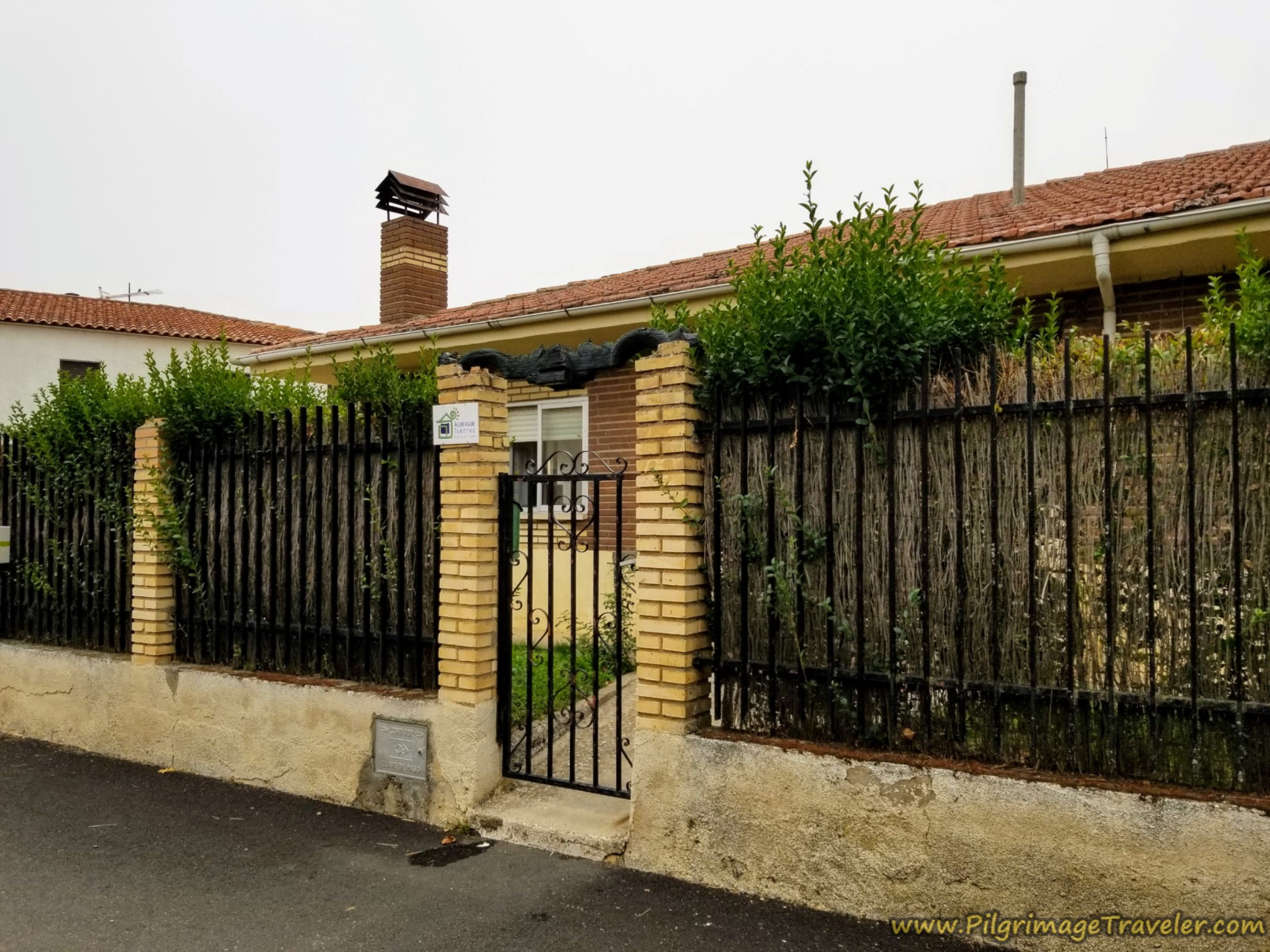 Albergue Turística Torre de Sabre
This private albergue is the only choice of accommodation in El Cubo de Tierra del Vino. If you see signs for other albergues, when entering town, or along the Camino into town please ignore them. I was surprised to see these old signs that are no longer relevant. This is an unattended issue in El Cubo.
If instead, you continue onward toward the center of town, after only a few meters, pass the first bar, the Casa Iván on your left.
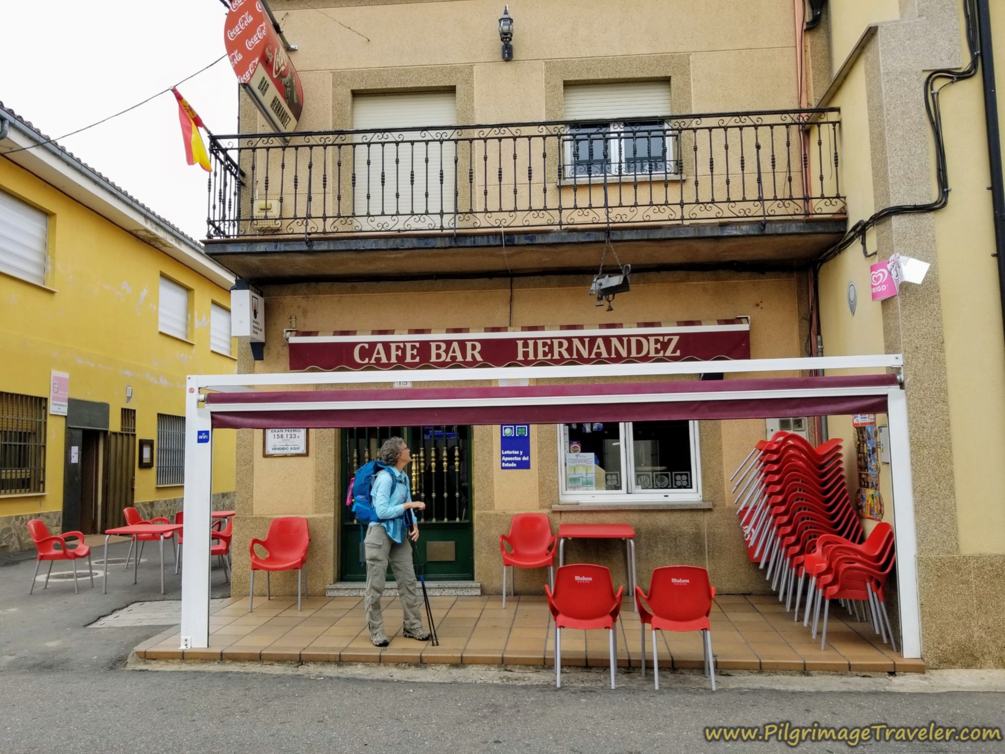
Arrive at the center of town a few blocks later and the Café Bar Hernandez is on your right. We chose to stop here, at the halfway point from Calzada de Valdunciel to El Cubo de Tierra del Vino on the Vía de la Plata.
We refreshed ourselves before signing in at the albergue. The bar was a hub of activity when we arrived. They had delicious tortilla, a traditional potato and egg casserole in the shape of a pie.
We also stopped at the Alimentación E & M, a few blocks from the bar, to replenish our packs for the long day ahead on day three. We had a reservation at the Albergue Torre de Sabre, and we wanted to ensure we visited the tienda before it closed at 1330.
As noted above, the “albergue” is a home, with rooms converted into pilgrim accommodation. We got a room with a double bed, but there are other rooms, one with a bunk. There is one shared bathroom.
The proprietor is a friendly, jolly fellow, and we never did see his wife, who was quietly working behind the scenes. Neither speak a word of English, so get out your translator app if needed.
In the main dining area they have a refrigerator you can use, and it is filled with stocked beverages, including beer, for purchase.
They will also serve you a nice dinner, late by pilgrims standards at eight p.m, which was 14 Euros as of this writing. There is also a basic continental breakfast for four Euros; coffee, milk, muffins and bread with butter and jam.
Reflections of Day Two on the Vía de la Plata, Calzada de Valdunciel to El Cubo de Tierra del Vino
After an enjoyable day, one without any problems, I reflected on how much I had learned over the years about the Camino and the pilgrim life. I didn't even mind the boredom of this day, even the second time when it was horribly hot. But it was still early in the walk, even though this was my 7th day, after having completed the Camino Teresiano prior.
I truly believed that in accordance with St. Teresa's words, that I had learned to take things as they came. Indeed this was the essence of life, and I prayed that I would continue to be flexible, walking with a group, (on our first time through), as I had never done before. This belief would be put to the test, as all beliefs eventually are.
I did promise myself that I would walk alone when needed, to keep the spirit of my pilgrimage alive, and not just have it turn into a group event.
I was amused when observing our Camino newbie friends as they did the "backpack shuffle." This is where they were continually looking for items in their packs, taking things in/out and rearranging the items frequently. My friend Nadine laughs about it now, saying that she was sure she was losing her items, but always managed to find them when she unpacked everything! Then she would lose them again when she re-packed. These are classic adjustment maneuvers for the first-time peregrino.
Salutation
May your own day on the Vía de la Plata from Calzada de Valdunciel to El Cubo de Tierra del Vino afford you the courage to take whatever comes. May you place one foot in front of the other, staying present to the journey and your experience of it. This journey is indeed the essence of life! Ultreia!
Camino Fonseca Stages
~ Vía de la Plata Stages from Salamanca


~ Camino Sanabrés Stages
Please Consider Showing Your Support
Many readers contact me, Elle, to thank me for all the time and care that I have spent creating this informative website. If you have been truly blessed by my efforts, have not purchased an eBook, yet wish to contribute, I am exeedingly grateful. Thank you!
Search This Website:
The Pilgrimage Traveler Digital Guides
Our Guides Help You:
~ Know what to expect each day!
~ Locate historic sites along the Way!
~ Know where you are in your journey!
~ Discover a quote from the sages, for your daily reflection on the journey!
Click on a Photo Below to Get Your Copy.
A most popular alternative on the Central Route of the Camino Portugués!👇
The Portuguese Routes are rapidly gaining in popularity, especially the section from Lisbon! Plan to walk this one soon, before it is no longer a quiet experience!👇
Our most popular Portuguese guide! 👇
The most historic of the Portuguese Caminos ~ not to be missed!👇
The spiritual adventure of a lifetime, following in the footsteps of St. Teresa of Ávila!👇
The amazing mountain route alternative, the Camino Sanabrés, from Granja de Moreruela on the Vía de la Plata!👇
The most incredible mountain scenery on this camino from Leon to Oviedo!👇
The shortest of the caminos, but not easy!👇
The very first, Original Way from Oviedo to Santiago!👇
The pilgrimage to the "End of the World" ~ The perfect add-on to your camino!👇
All Banners, Amazon, Roamless and Booking.com links on this website are affiliate links. As an associate of these companies, the Pilgrimage Traveler website will earn from qualifying purchases when you click on these links. We have used and love all of our product recommendations and believe you will too! We sincerely thank you!

🙋♀️ Why Trust Us at the Pilgrimage Traveler?
We’re not a travel agency ~ we’re fellow pilgrims! (See About Us)
We've trekked Pilgrimage Routes Across Europe since 2014!
💬 We’ve:
- Gotten lost so you don’t have to. 😉
- Followed waymarks in the glowing sunlight, the pouring rain and by moonlight. ☀️🌧️🌙
- Slept in albergues, hostels & casa rurals. Ate and drank in cafés along the way. 🛌 😴
- Created comprehensive and downloadable GPS maps and eBook Guides, full of must-have information based on real pilgrimage travels. 🧭 🗺️
- Shared our complete journeys, step by step to help YOU plan your ultimate pilgrimage and walk with your own Heart and Soul. 💙✨
Every detail is from our own experiences. Just fellow pilgrims sharing the Way. We have added a touch of spirituality, heartfelt insights and practical guidance from the road ~ offering a genuine connection to the spirit of pilgrimage. Tap into the wisdom of seasoned pilgrims!
Ultreia and Safe Pilgrimage Travels, Caminante! 💫 💚 🤍
Follow Me on Pinterest:
Find the Pilgrimage Traveler on Facebook:

Shroud Yourself in Mystery, along the Via de Francesco!
Walk in the Footsteps of St. Francis, and Connect Deeply with the Saint and to Nature in the Marvelous Italian Countryside!
Need suggestions on what to pack for your next pilgrimage? Click Here or on the photo below!


Carbon Trekking Poles ~ My Favorites!
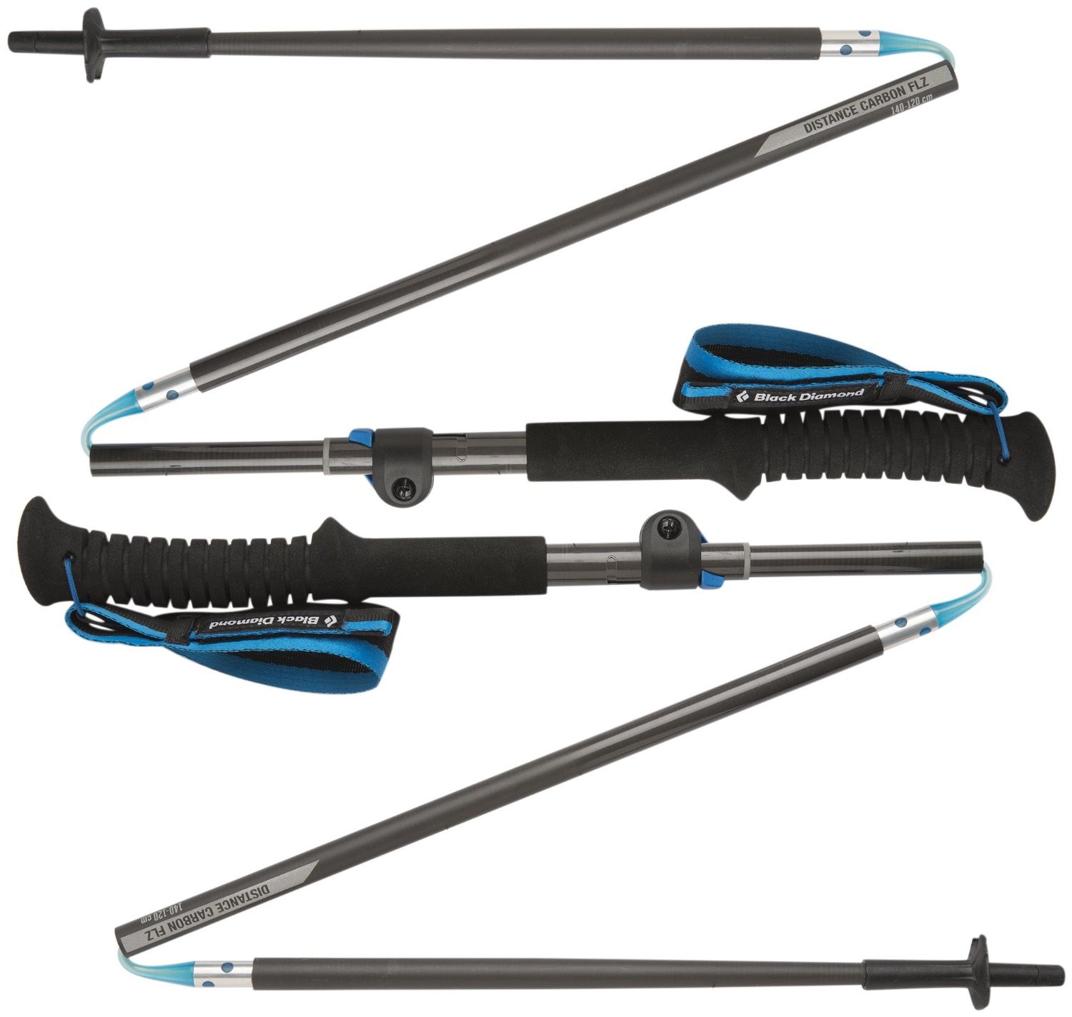
Carbon fiber construction (not aluminum) in a trekking pole makes them ultra lightweight. We like the Z-Pole style from Black Diamond so we can hide our poles in our pack from potential thieves before getting to our albergue! There are many to choose from! (See more of our gear recommendations! )
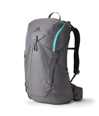
Gregory BackPack ~ My Favorite Brand
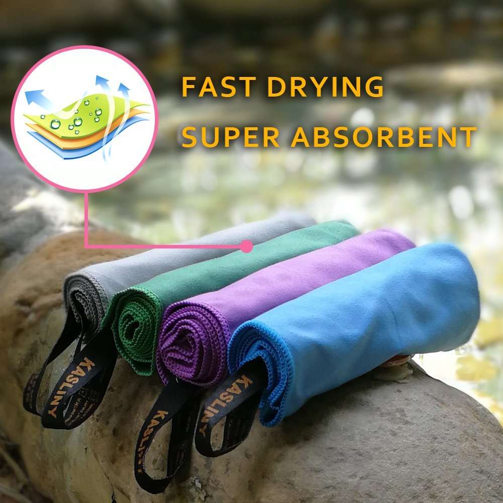
Do not forget your quick-dry microfiber towel!