- ~ Home
- ~ Vía de la Plata (The Silver Way)
- El Cubo de Tierra del Vino to Zamora
Jump to Vía de la Plata Stages
Vía de la Plata, El Cubo de Tierra del Vino to Zamora, Day Three, 31.3 Kilometers (19.5 Miles)
Our day three on the Vía de la Plata, from El Cubo de Tierra del Vino to Zamora was very long and very hot. I mourned the fact that there was no way to make the first three stages from Salamanca more evenly divided, without one, much longer stage such as this one! Since the closing of the albergue, just past the Cañedo River crossing on day two, it was impossible to divide up the two, long standard stages of 68 kilometers into an equal three.
I quietly gathered my strength and resolve for the long third day, taking heart in the fact that I could indeed walk over 30 kilometers, as I had done many times before. Yet, even as I shifted my attitude to prepare for the day, I acknowledged that I truly no longer desire to walk such distances, especially under the relentless sun of the Meseta.
Our first time on the Via de la Plata, our third day was from Villanueva de Campeán to Zamora. It was short and sweet, allowing plenty of time at the end of the day to explore the fabulous medieval town. Zamora is a city filled with many historic and beautiful churches. The castle on the top is the cherry on the sundae. This may be the reason to walk a longer distance to Villanueva de Campeán on day two, but that total of 33 kilometers was just too far for my taste.
One could actually divide this long stage into two, from El Cubo de Vino to Villanueva de Campeán for 13 kilometers, then Villanueva de Campeán to Zamora for 18.3 kilometers. However, it may be wiser to push on and just plan a rest day in Zamora. There is plenty to see there!
The destination of Zamora is fabulous, but the walk itself, whether from El Cubo de Tierra del Vino or Villanueva de Campeán, is perhaps the most boring of all as you will see from the photos below.
🙋♀️ Why Trust Us at the Pilgrimage Traveler?
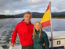
We’re not a travel agency ~ we’re fellow pilgrims! (See About Us)
We've trekked Pilgrimage Routes Across Europe since 2014!
💬 We’ve:
- Gotten lost so you don’t have to. 😉
- Followed waymarks in the glowing sunlight, the pouring rain and by moonlight. ☀️🌧️🌙
- Slept in albergues, hostels & casa rurals. Ate and drank in cafés along the way. 🛌 😴
- Created comprehensive and downloadable GPS maps and eBook Guides, full of must-have information based on real pilgrimage travels. 🧭 🗺️
- Shared our complete journeys, step by step to help YOU plan your ultimate pilgrimage and walk with your own Heart and Soul. 💙✨
Every detail is from our own experiences. Just fellow pilgrims sharing the Way. We have added a touch of spirituality, heartfelt insights and practical guidance from the road ~ offering a genuine connection to the spirit of pilgrimage. Tap into the wisdom of seasoned pilgrims!
Ultreia and Safe Pilgrimage Travels, Caminante! 💫 💚 🤍
Quote for Day Three on the Vía de la Plata, El Cubo de Tierra del Vino to Zamora
However softly we speak, God is so close to us that he can hear us; nor do we need wings to go in search of him, but merely to seek solitude and contemplate him within ourselves, without being surprised to find such a good Guest there. ~ San Juan de la Cruz, St John of the Cross, 16th Century Mystic
If ever there was a day for silence and solitude, this day was one, at least for me. If you seek an inward journey on your pilgrimage, the high meseta of central Spain is the place for it.
Maps and Stats of Day Three on the Vía de la Plata, El Cubo de Tierra del Vino to Zamora
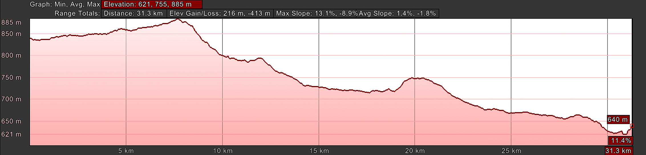
There are no services on the entire 31.3 kilometer walk, unless you take an optional diversion to San Marcial, shown on the map in red. Make sure to fill your water reservoirs to the top, especially if it is hot! Hopefully you have sufficient food in your pack, because there are no bars in Villanueva de Campeán.
If you choose to stop after 13 kilometers in Villanueva de Campeán, there are only two possible accommodations, the private Albergue Vía de la Plata, with only a microwave and no refrigerator and La Posada Real del Buen Camino. Plan accordingly if you desire to stay in this town. Both accommodations will provide meals.
While the length of the day is long, at least it is almost all downhill as you can see! I was grateful for this small miracle!
👣 Camino Sanabrés EBook:
Offline Guide with Bonus Route
~ Includes 4-5 additional days on the Vía de la Plata from Salamanca!
Walk smarter with our ad-free, beautifully formatted Camino Sanabrés eBook Guide, perfect for offline use ~ important in the mountainous and remote areas. Includes daily stage details, stunning photos, historical background and a BONUS digital guide on the Vía de la Plata from Salamanca, called the Camino Fonseca. This allows you the opportunity to add 4-5 more days to your Camino in the beginning.
Don't carry a hard copy guide book to increase your pack weight. Use our frequently updated digital guide on your next Camino instead!
📲 Instant download. 💸 Money-back guarantee. 🔄 Free updates for 1 year.
👉 Click here for more info or BUY NOW!
Jump to Vía de la Plata Stages
Photo-Rich Travelogue of Day Three on the Vía de la Plata, El Cubo de Tierra del Vino to Zamora
The town of El Cubo, is a very tidy and neat town, but it is not as big as you might expect. Starting from the center of town where we left off on day two, at the Bar Hernández, it is only a few meters onward that you pass the old town church and its cross.
From beyond the church as you are leaving town, walk past a park and picnic area on your right. After about 150 meters, the Camino directs you to the left at this intersection, pictured below.
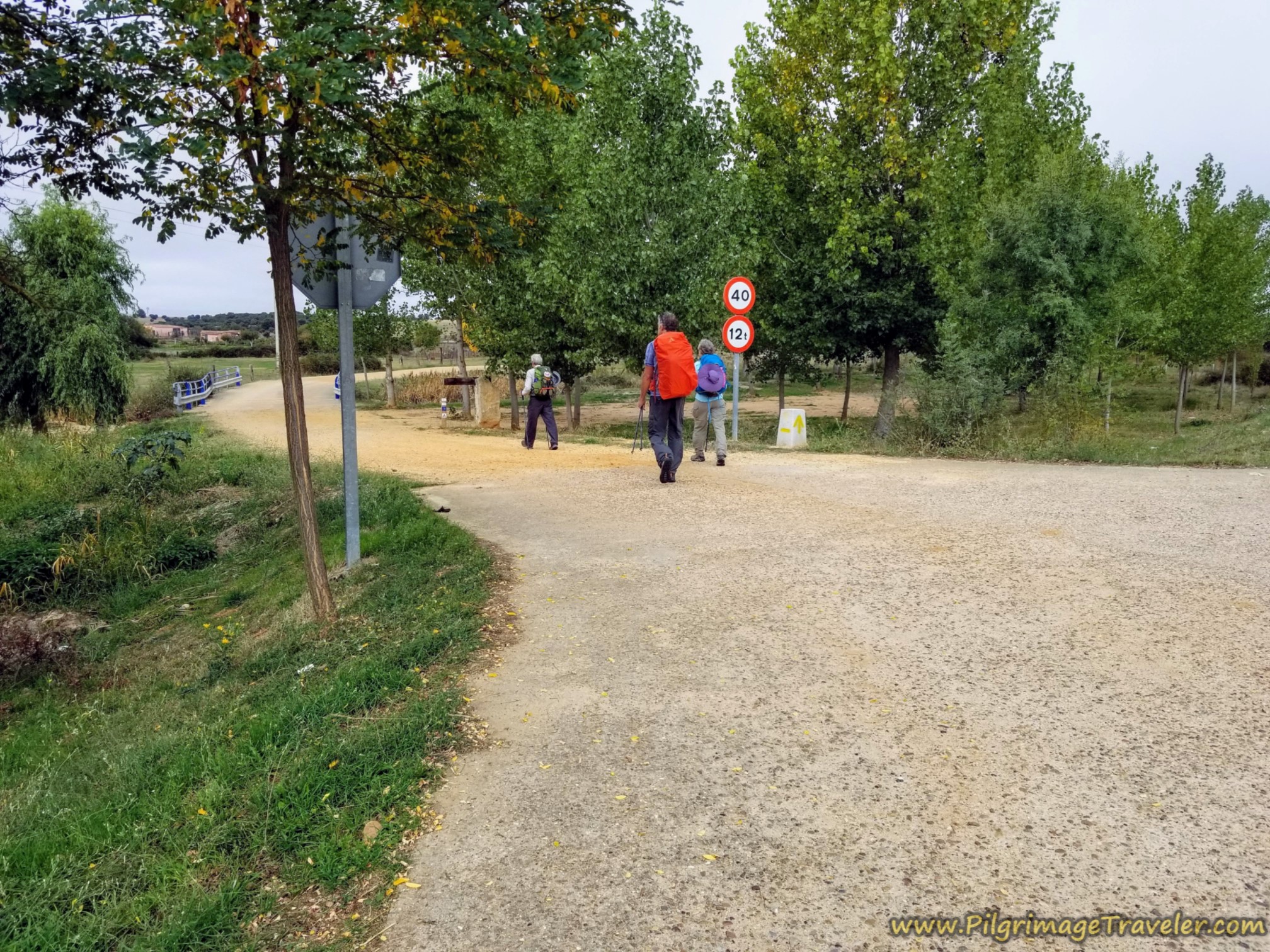 Leave Main Street, Calle Mayor and Turn Left
1/2 kilometer later, stay right at the Y-intersection, where you will now notice that you are walking along an old railroad track to your right.
Another 1/2 kilometer later, continue straight at the town exit sign, shown next. Also note, if you haven't already, the different style concrete waymarks.
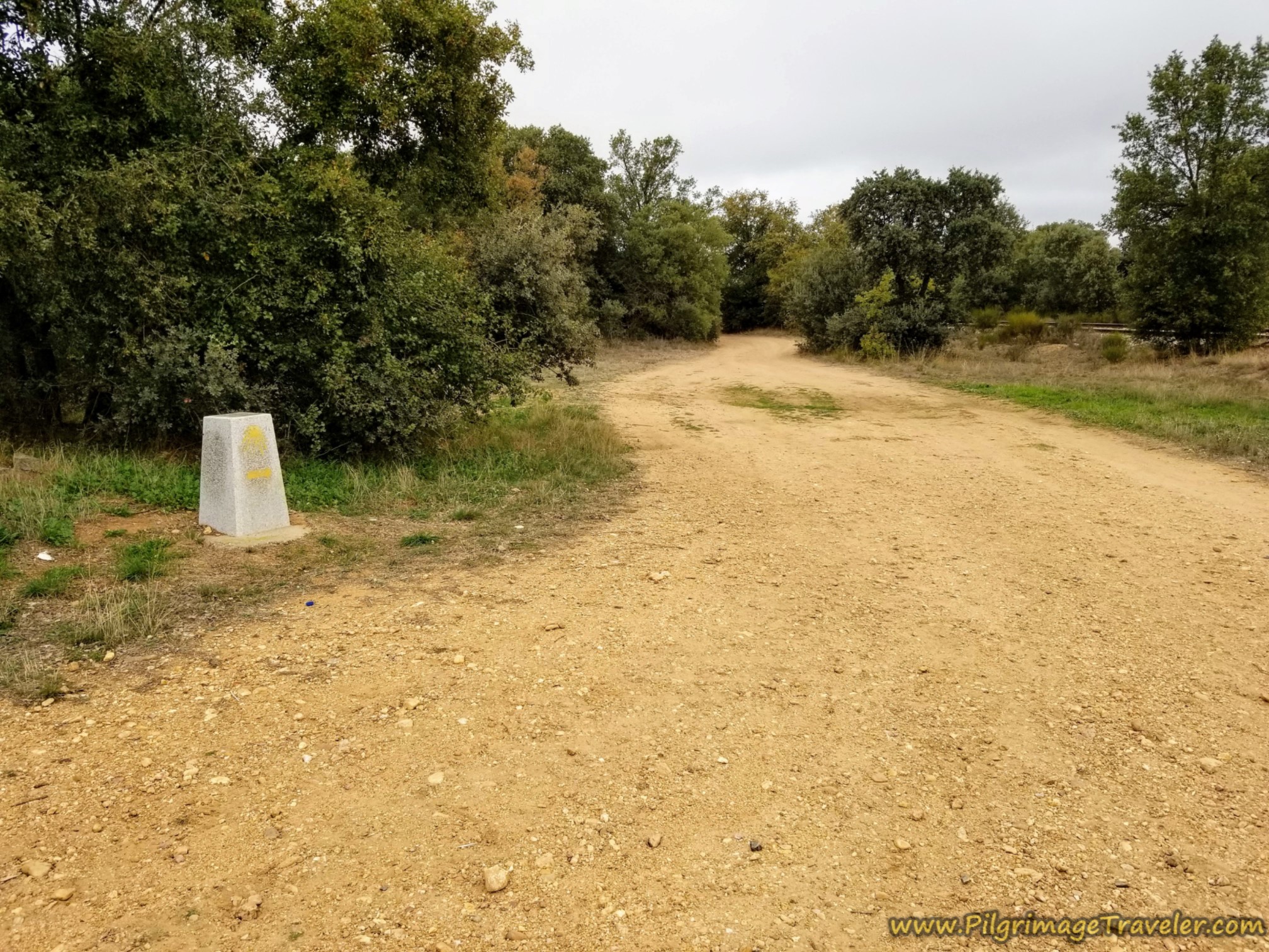 Straight On at Different Style Waymark
Continue following this dirt route along the railroad for 4.8 kilometers, steadily climbing all the time, and past this ancient-looking railroad crossing sign after about 4.5 kilometers, shown below. We never did cross any tracks, but stayed parallel to them.
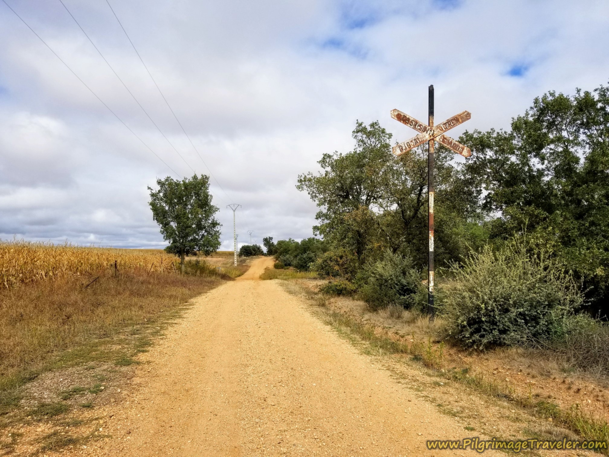 Paralleling Railroad Track
In another kilometer after the sign, at about 5.5 kilometers total for the day, take a sharp left, and an immediate right, following the waymarks and now walk through open fields, below. The skies looked poised for another bright sunny day and the morning was perfect for walking.
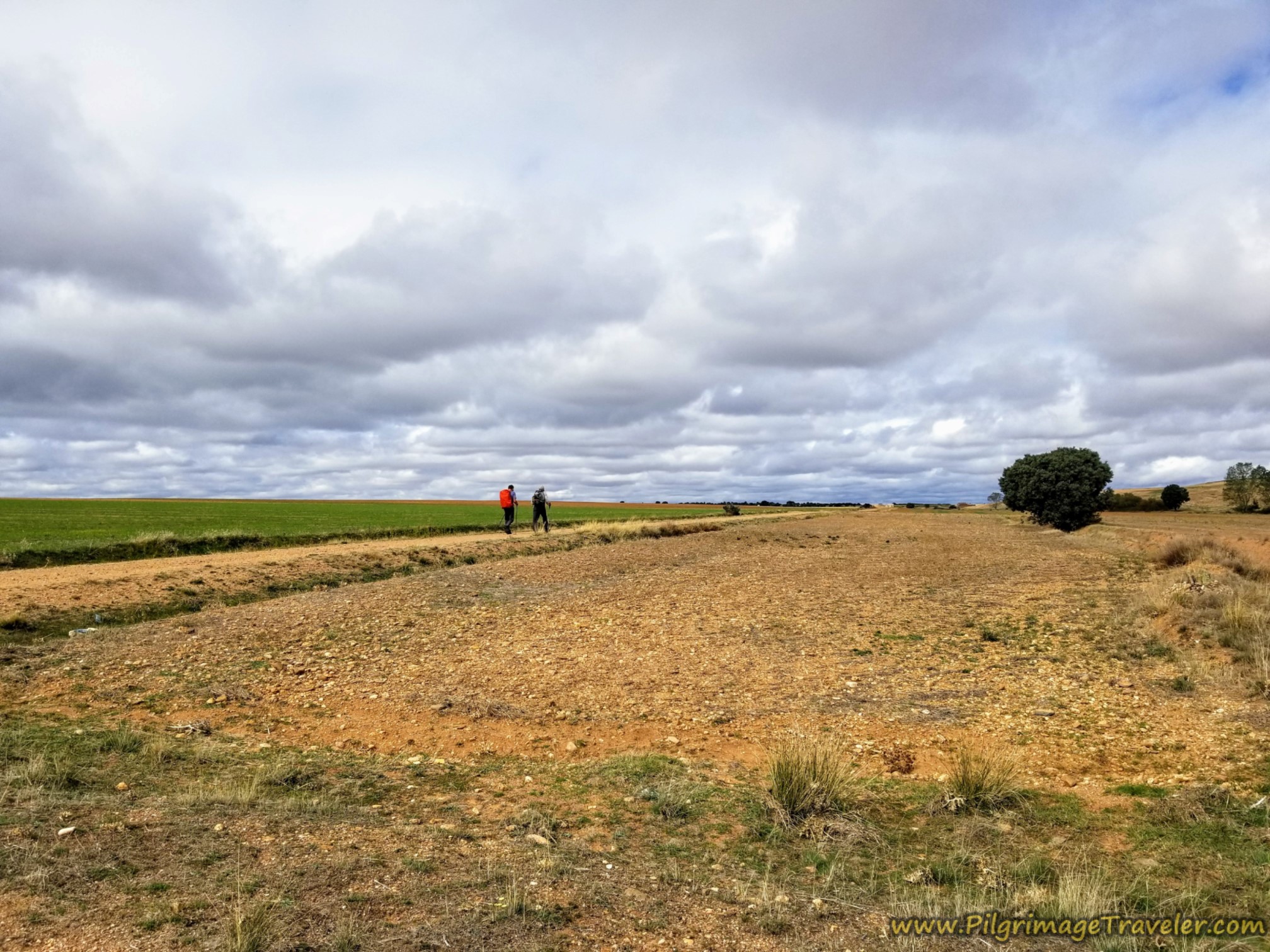 Walking Through Open Fields
Several kilometers later after about 7.7 kilometers total, come to the top of a bluff, shown below. You are now at the end of the long steady climb and have reached the altitude top of the day.
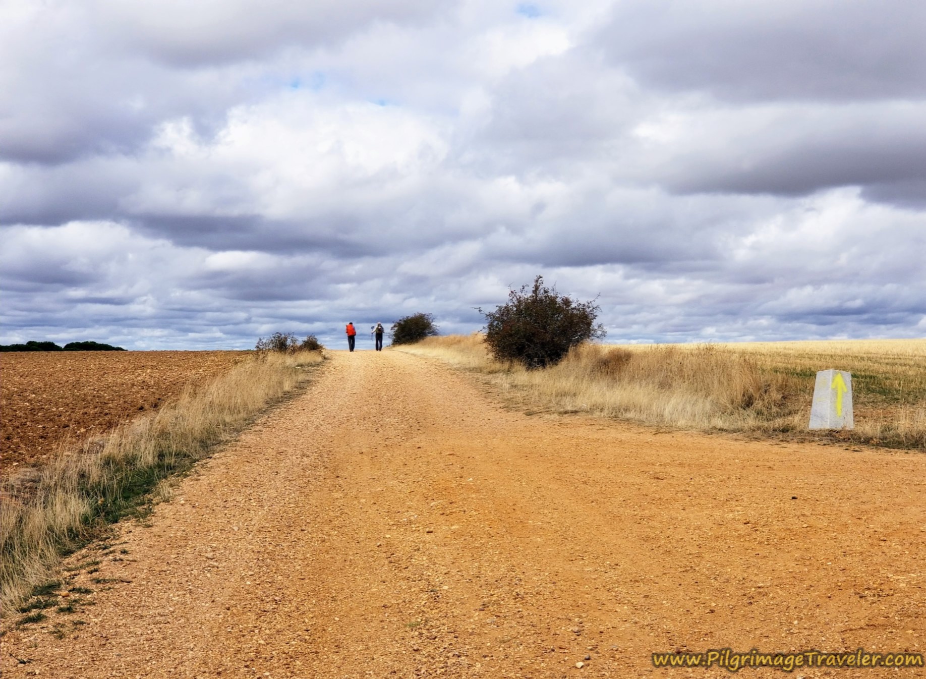 Final Rise in the Horizon
Things still look a little barren, but there are more trees that show up on the downhill side. As you head down the hill, the views open up nicely, and for the first time your walk actually becomes more visually pleasant, below.
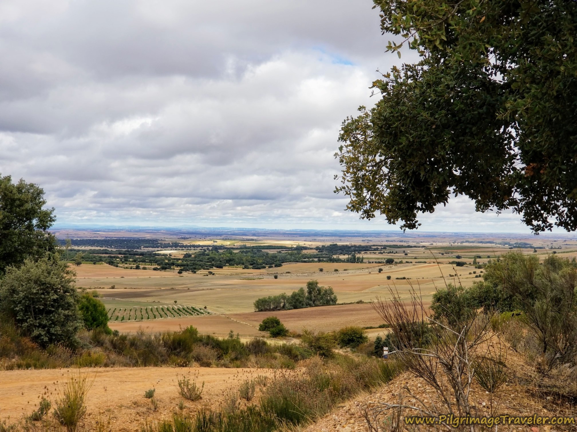 Open View of the Countryside
The road itself is now descending noticeably and the terrain once again becomes a bit drab. But at least there are trees if only for a while.
The roadway also becomes much more eroded, below, and in some places overgrown, although there are many sections that are much worse than this photo shows.
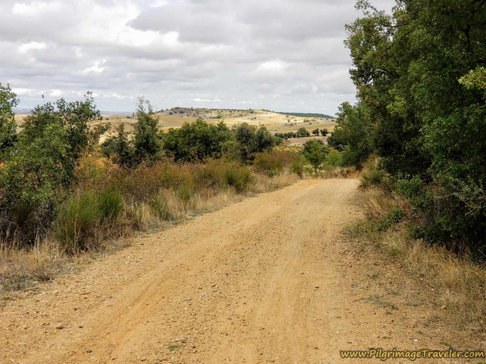 It's All Downhill from Here to Villanueva de Campeán
As you descend toward Villanueva de Campeán, there are many fields of grapes, and the harvest was in full swing as we passed by (October). Below is a wagon load full of grapes!
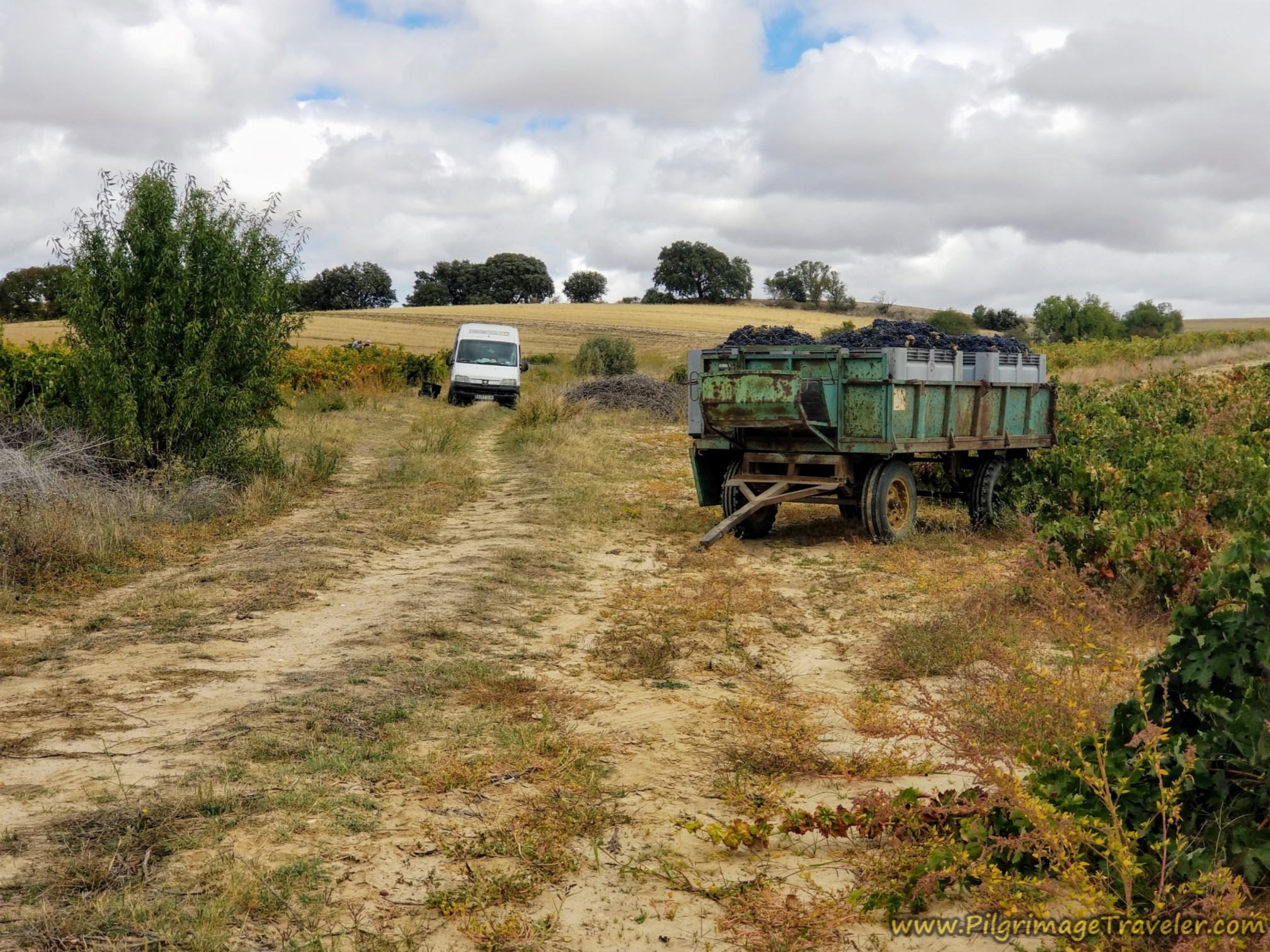 Grape Harvest in Full Swing
After about 3.5 kilometers of pleasant descending, following the waymarks northward, you come to a Y-intersection at about 11.3 kilometers total, with the first tall pillar waymark, shown below. In addition to "Vía de la Plata" carved into it, there is also the town name of Villanueva de Campeán. We were certainly on the right track, and went left here.
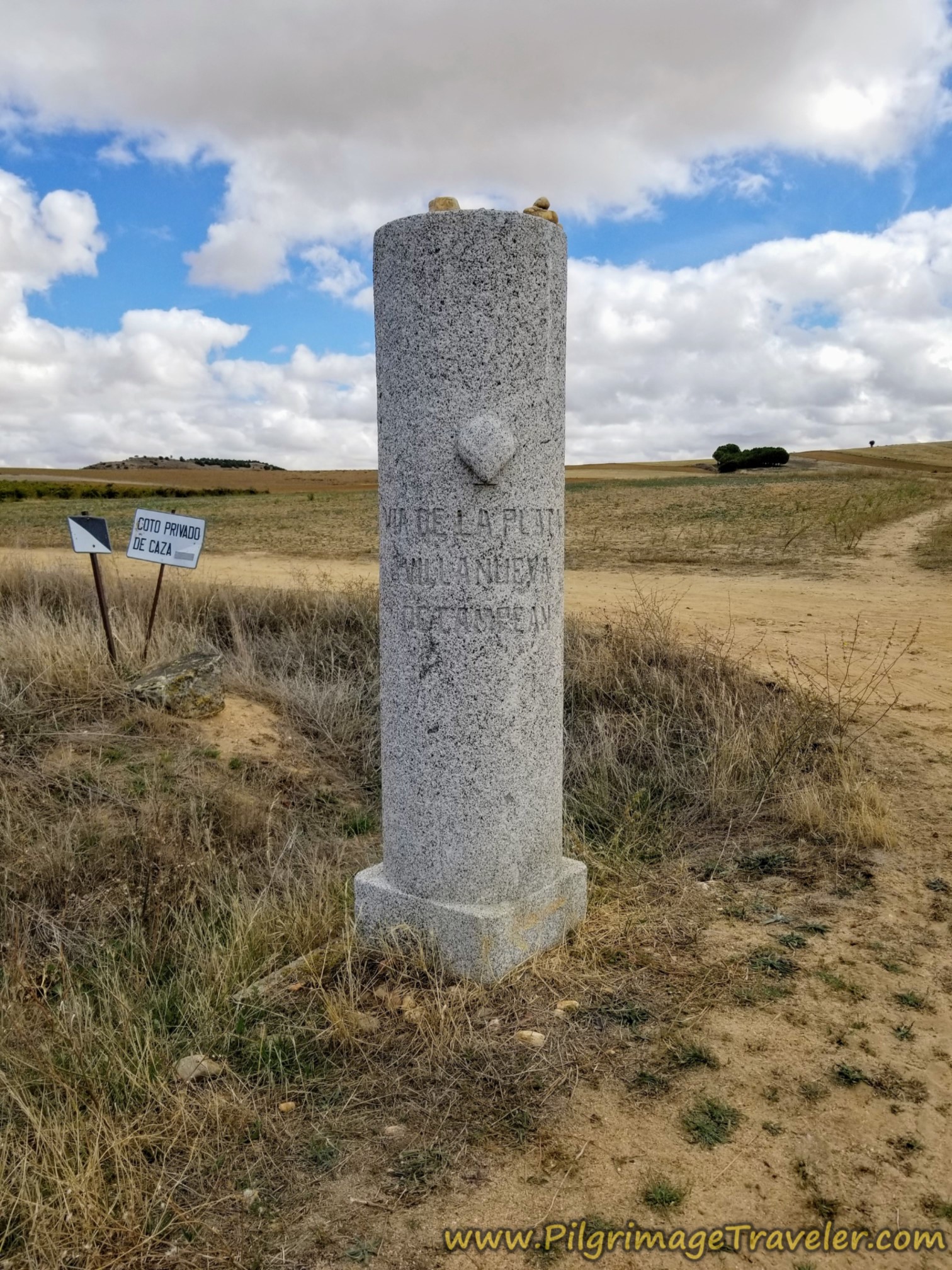 Turn Left at the Y-Intersection by this Pillar
After about 12.1 kilometers the second pillar appeared, and you can now see the town ahead. You are only about one kilometer away from the center Villanueva de Campeán at this point.
 Villanueva de Campeán Visible Ahead
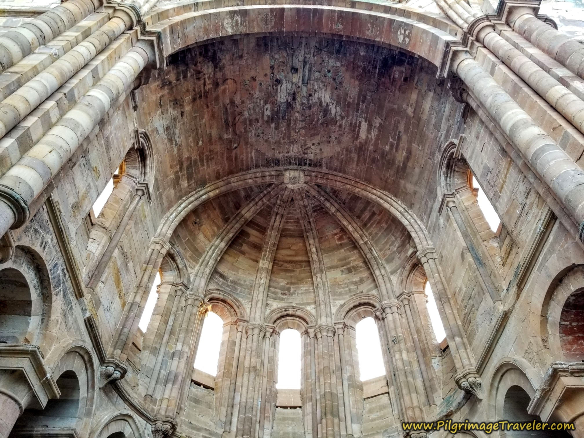
As we neared the town, on our right we could see the ruined 15th century Convento de Santa María del Soto, off to the east, shown in the photo below. There is not much left of the convent to see, so we did not go out of our way. Click on the link above, to go to a video on YouTube, with lovely aerial views of the convent, to make your own decision.
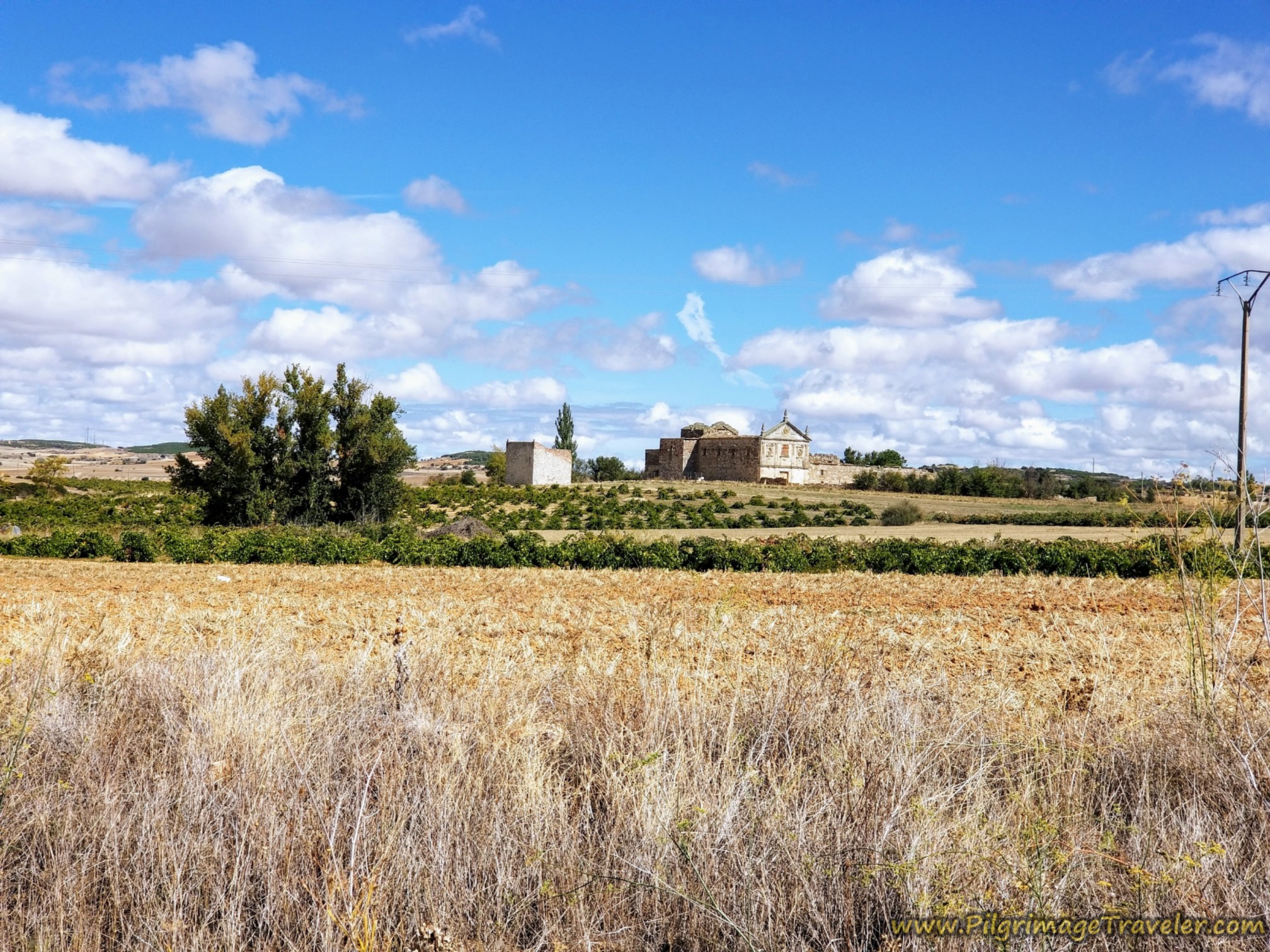 Ruined Convento de Santa María del Soto
If you decide to see the convent, instead of walking straight along the Camino, you would turn right at this intersection at the entrance to town, below. Here you will find the town sign, on the right by the wall, and another pillar, on the left. This pillar has Arabic writing, a vestige of the name, Camino Mozárabe, a Spanish word derived from Arabic, meaning a Christian who lived in Spain during the Moorish rule.
Also on the wall, as you enter town is a sign for the casa rural, La Posada Real del Buen Camino.
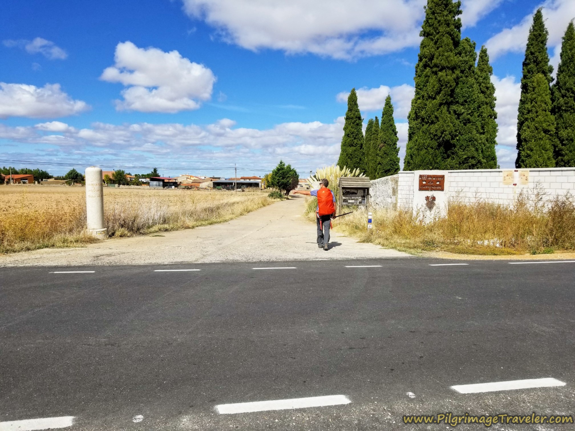 Entering Villanueva de Campeán
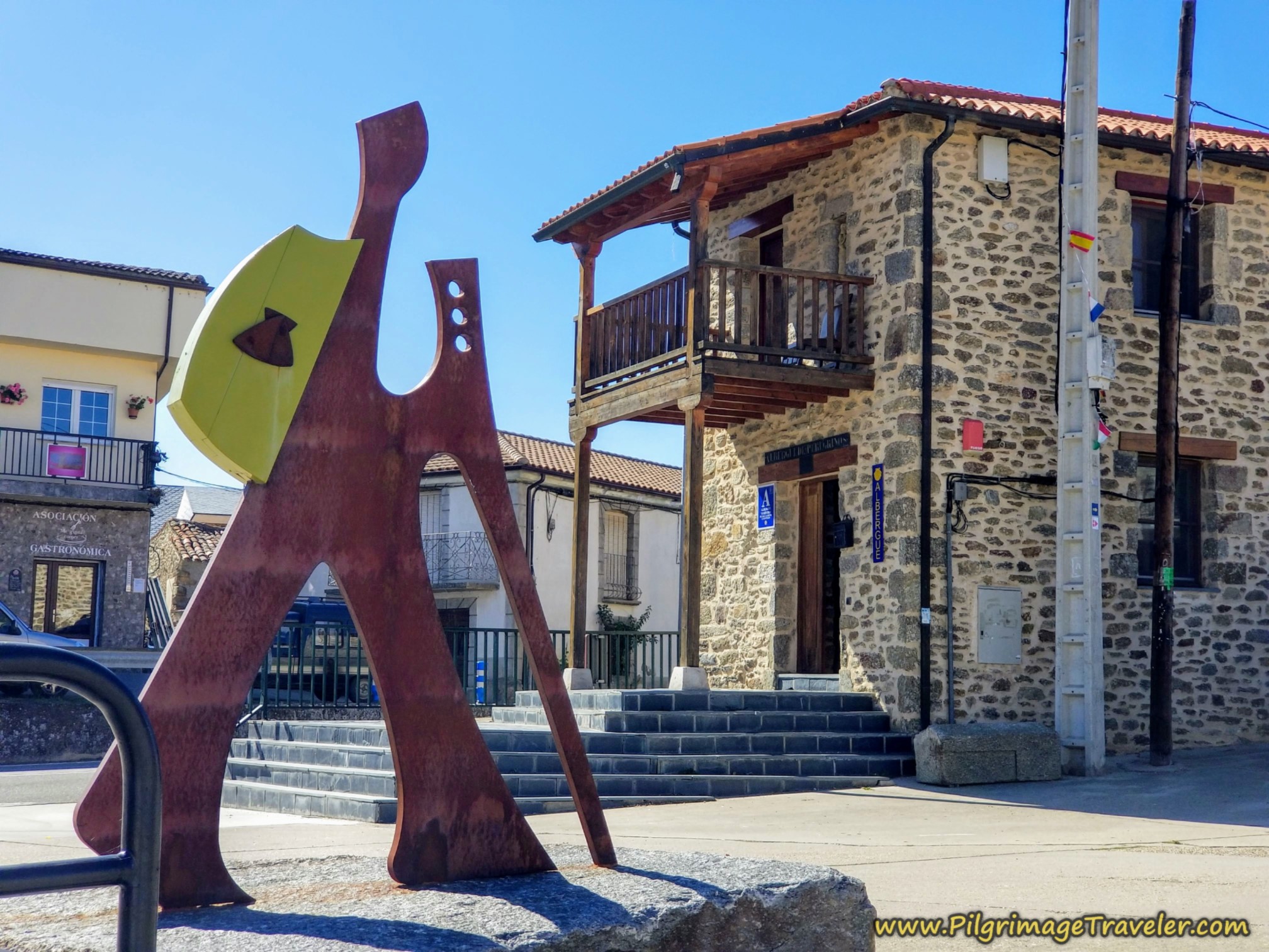
As we entered town, we walked by the Albergue Privado Vía de la Plata, (closes in the winter, +34 630 980 967), right along the Camino. Below is a photo of the crew, posing in front of the place.
They will serve you breakfast and dinner (may only be paninis) since there is now no bar in town. There is only a microwave and no refrigerator if you choose to bring your own food. Sheets are extra.
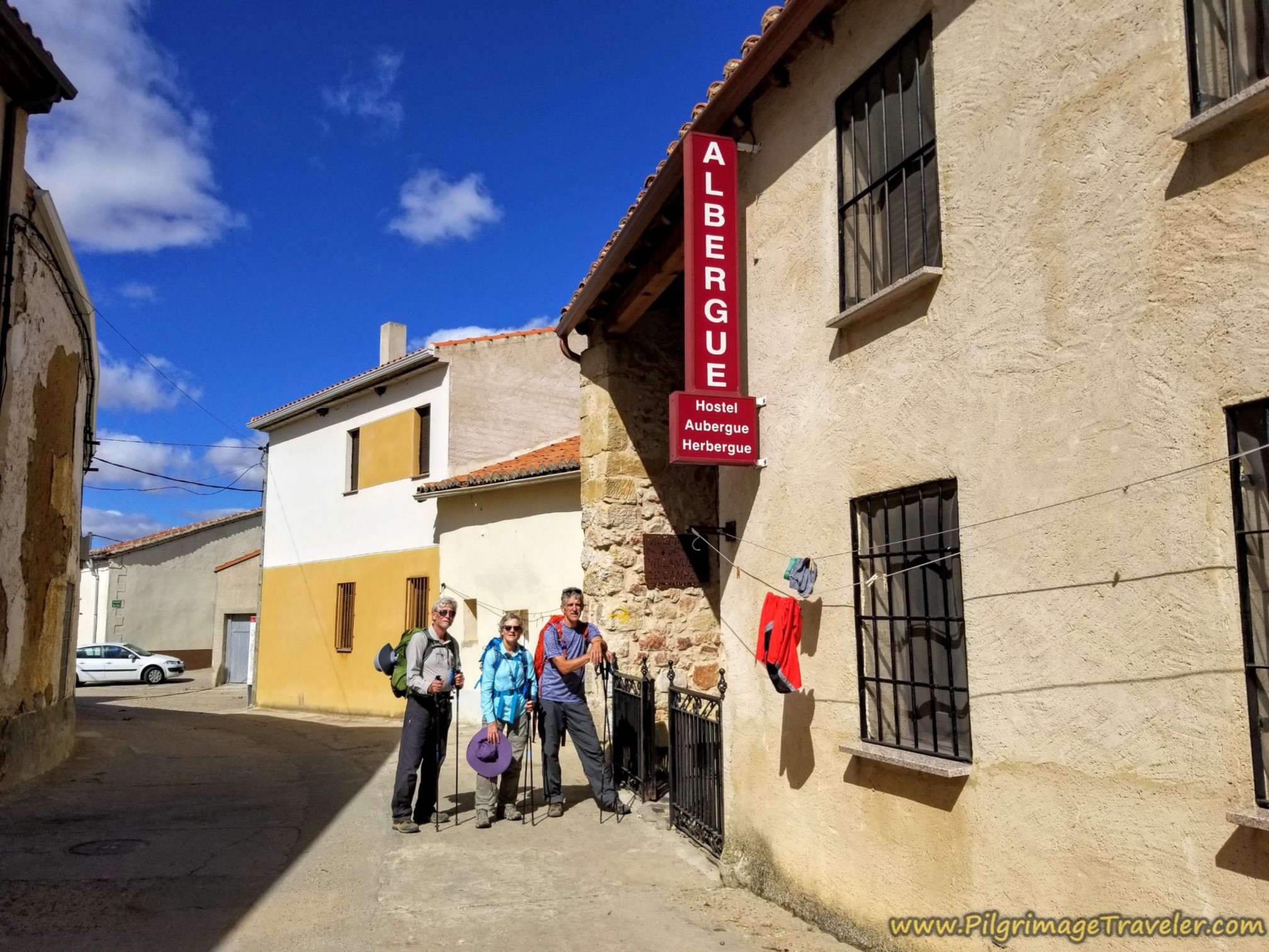 Albergue Privado Villanueva de Campeán
This albergue gets mixed reviews, mostly in regard to lack of cleanliness and maintenance, so if you can afford the expensive Posada Real del Buen Camino it may be your better choice. I am glad we never had to stay here. It’s too bad the municipal albergue is now gone. It was well-maintained. Yet another thing to mourn regarding the ever-changing Camino landscape.
A few steps past the private albergue, at the next intersection, you will see this old white sign, shown below, telling you to make a hard right, for the municipal albergue that no longer exists.
However, this right turn onto the Calle del Señor, leads you to the town church and La Posada Real del Buen Camino. The Posada is just beyond the front of the church and is not pictured. These proprietors will also serve you dinner and breakfast.
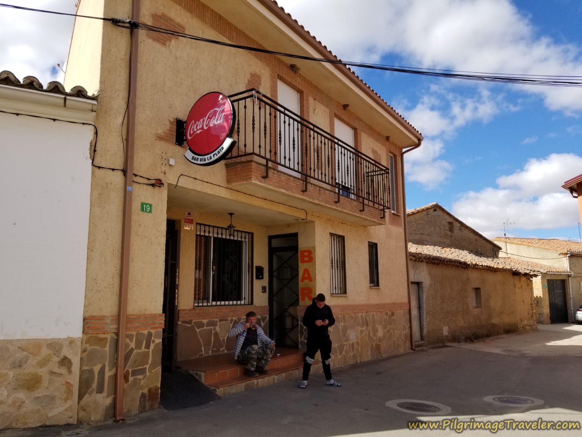 Bear Right at Intersection in Town Center
On our first time here, when we stayed at the now-closed muni, I spent some time sitting by the town church Even though it was closed, I sat on the church steps, and stretched out my legs, giving thanks that they had held me up and didn't give me any more problems than the mild niggle in my left knee.
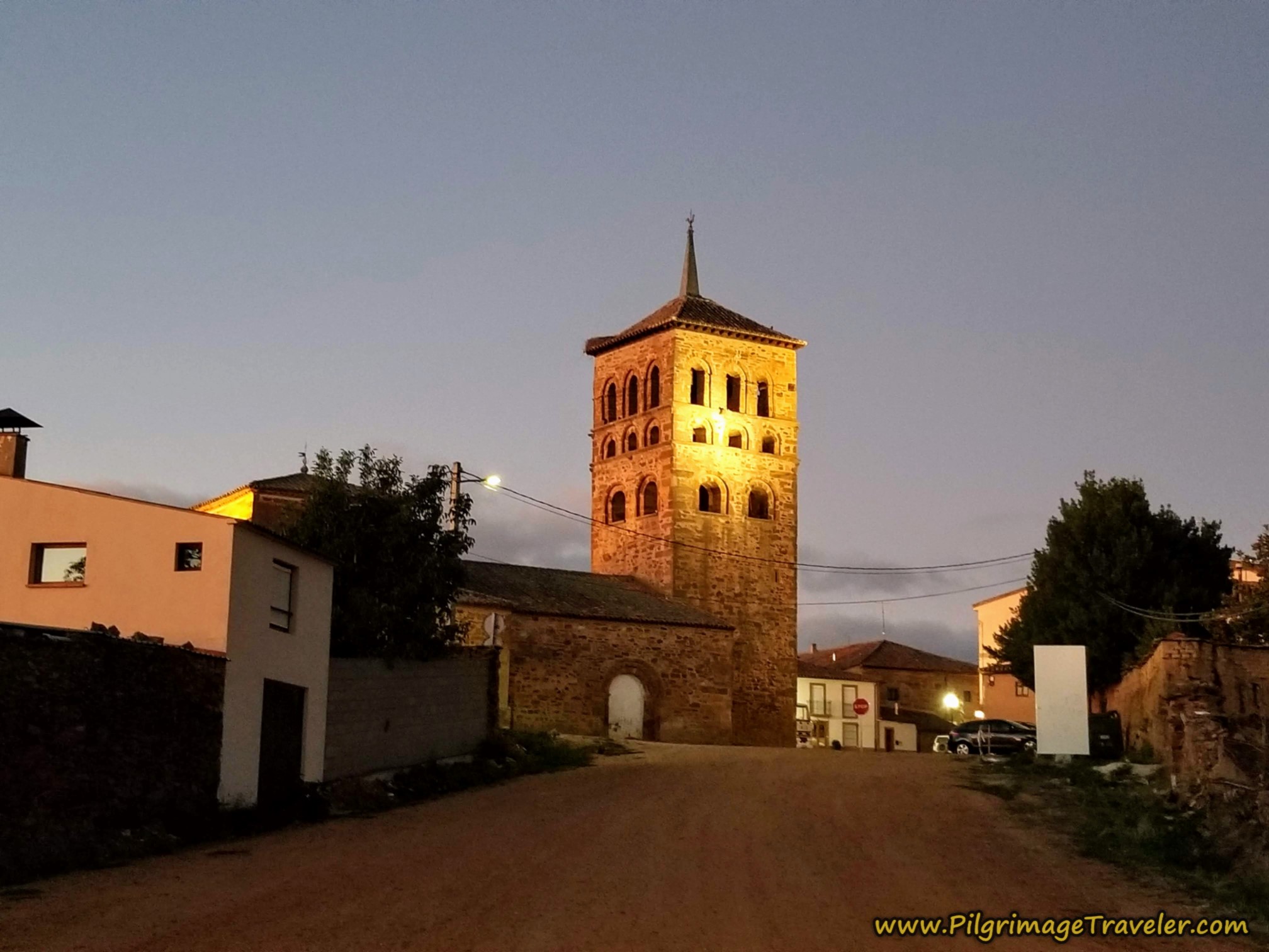
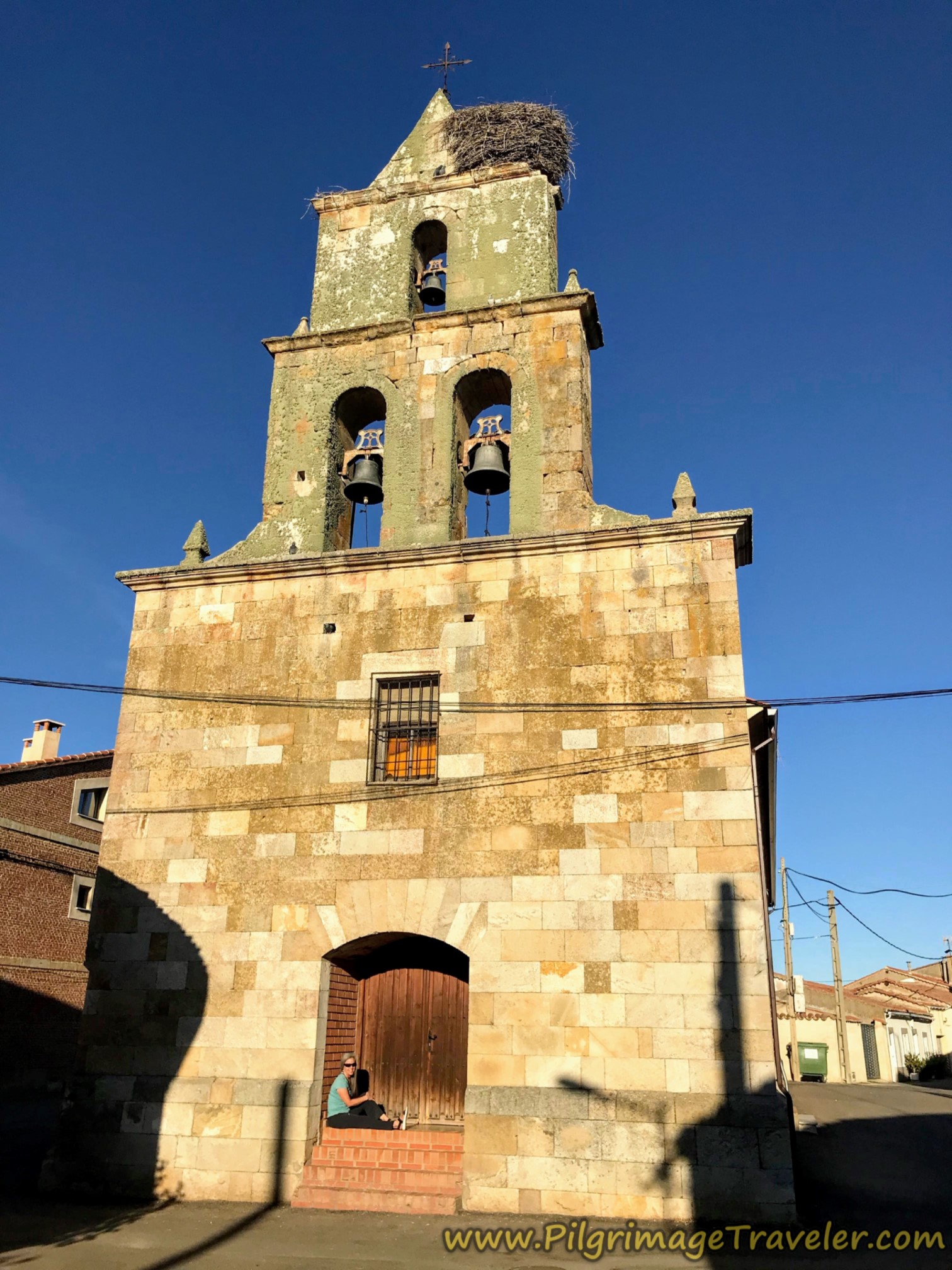 Elle & Iglesia Parroquia de San Juan Bautista
After walking with the group, I relished the bit of solitary time hanging out here at the church. I had a fascia ball that I carried in my pack and I now used to roll my left knee and all the tendons and muscles around the kneecap. I would have to pay lots of attention to this knee if I would hope to continue onward the entire way to Santiago.
We were lucky this day that a traveling food vendor in his truck blew his horn that afternoon, announcing his arrival into town. We knew of this small town phenomenon across Spain and immediately ran out to see what he had. He was not selling bread, but cheeses and meats, and various other non-perishable items which we purchased for our packs. Yay!
We also bought some flan to have immediately to tide us over until dinner! Gotta love the Spanish flan! I have no idea how dependable this vendor service is, but he did park close to the center of town, so I imagine pilgrims and townsfolk fuel his market.
In the evening, all the peregrinos gathered in the now-closed bar in the center of town, however I must still tell this funny story:
Over dinner, we met a retired German biology professor, and several new Spanish faces. We had a most enjoyable communitas meal, laughing and getting to know one another.
I was asked, "Where are you from?" I answered, "The USA," then I chuckled and said, "I am a Gringo(a)," using the Mexican slang term for Americans. Everyone smiled.
I looked across the table at the German professor, sitting directly opposite me in the photo below and I could see his mental wheels turning. Apparently Mexico is not the only country who knows the term "Gringo," because the professor blurts out, "I see! Then you are not Peregrinos, but Peregringos!"
I burst out laughing, along with all the rest of the pilgrims at the table. From then on we were known by the group as the Peregringos! An absolutely hilarious and genius invention by the German man.
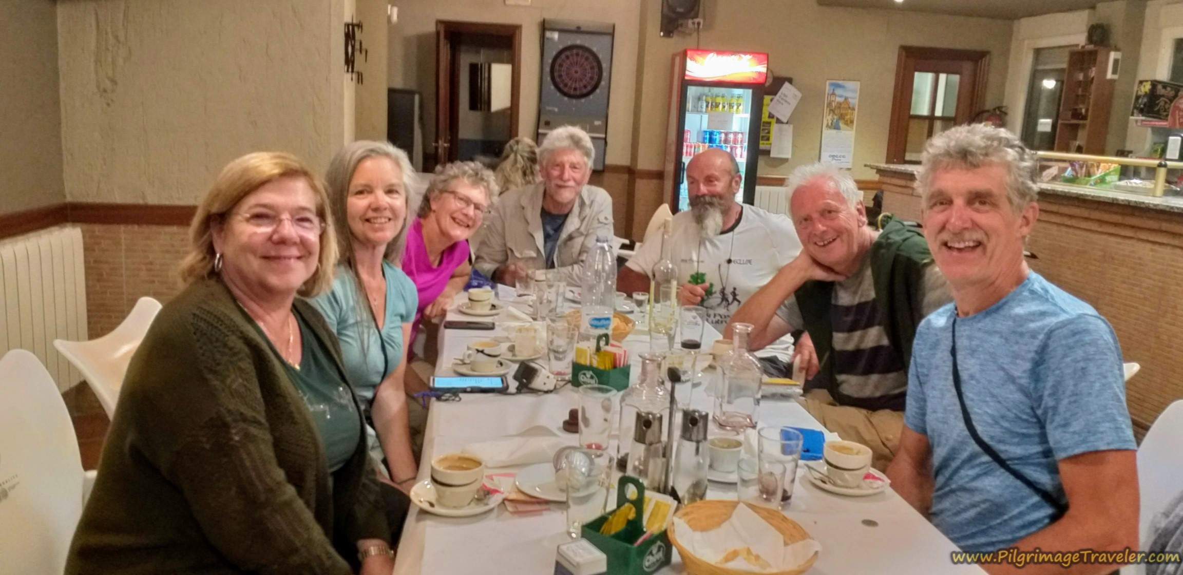 Traditional Pilgrim Dinner
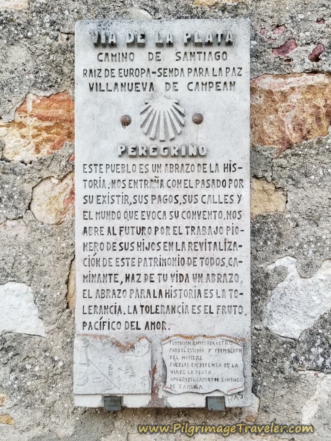
Back on the Camino, from the center of Villanueva de Campeán with 13 kilometers under our belts, within a few meters, this lovely town placard shown below, greeted us.
This was to be the first of many we were to see on the Camino Fonseca, and showed the community's history and dedication to the Camino de Santiago, the "Root of Europe - Path for Peace." This was indeed, a lovely salutation as we paused to read it.
The first Vía de la Plata pillar that greeted us, shown in the next photo, on the very north edge of town, ensured us we were on the correct path.
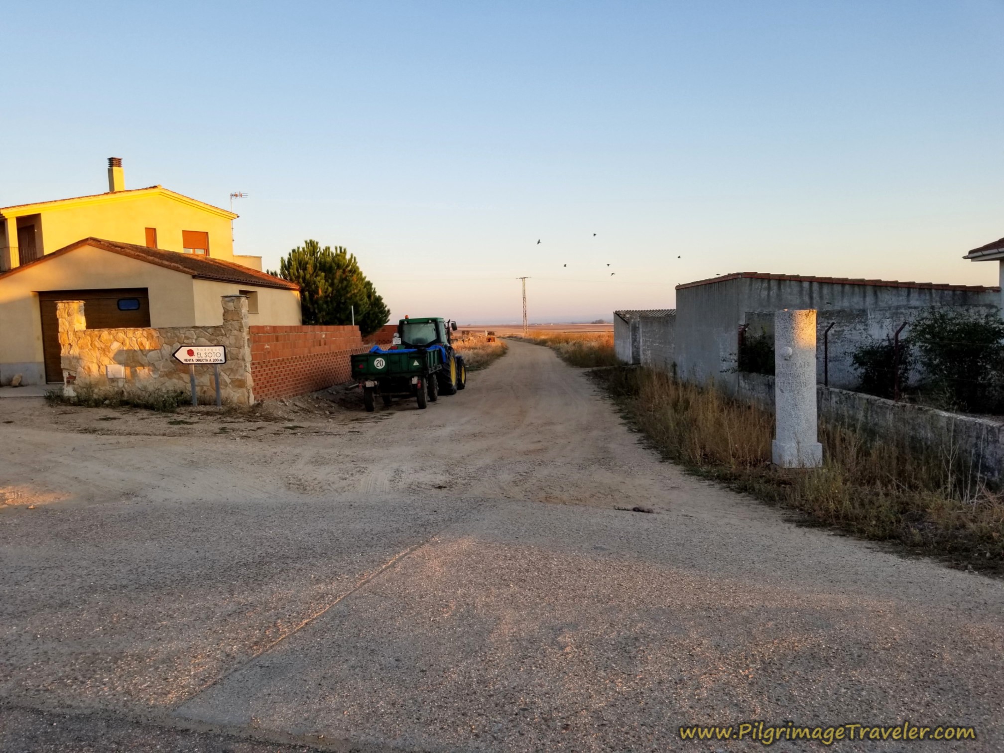 Town Limits of Villanueva de Campeán
A few meters later, a second pillar at a Y-intersection, shows the way to the right, below. And just like that we were back in the open countryside.
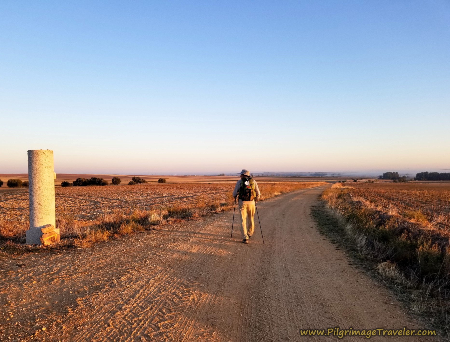
The Way continues to be very well waymarked, so it would be quite difficult to get lost through this countryside, despite passing through many dirt intersections enroute.
It was starting to get very hot in June and I remembered the October walk, when we had several hours of morning freshness. In fact the next photo, below shows the morning mist on the October day.
The sunflowers and grains were already harvested by this time in October, but the grape harvest was in full swing. We passed tractors and autos full of workers heading to the fields.
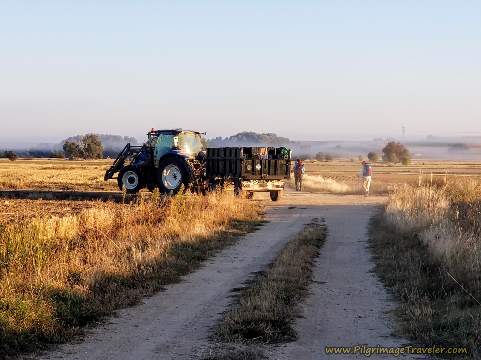 Tractor and Wagon Heading to the Vineyard
As you walk along these open fields, small structures catch your eye that looked to me like storage buildings of some sort. They did not look like they were currently being used.
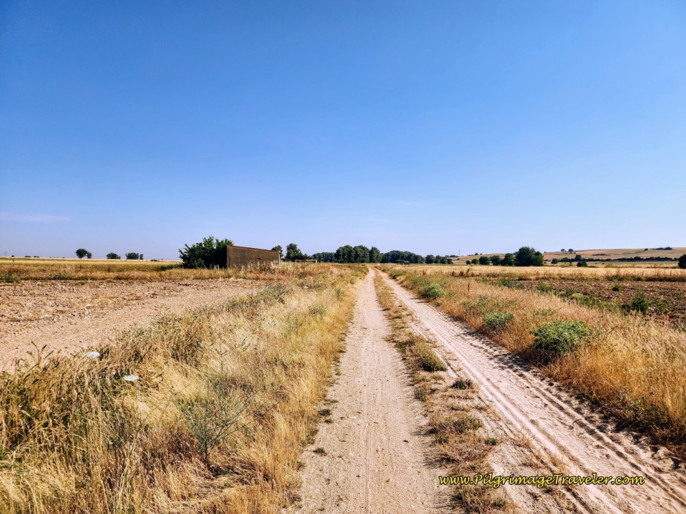 Heading North Towards San Marcial
Another interesting addition to the landscape was various types of wells, all round, some made of red brick like this one next to another structure, below and some we saw made of concrete.
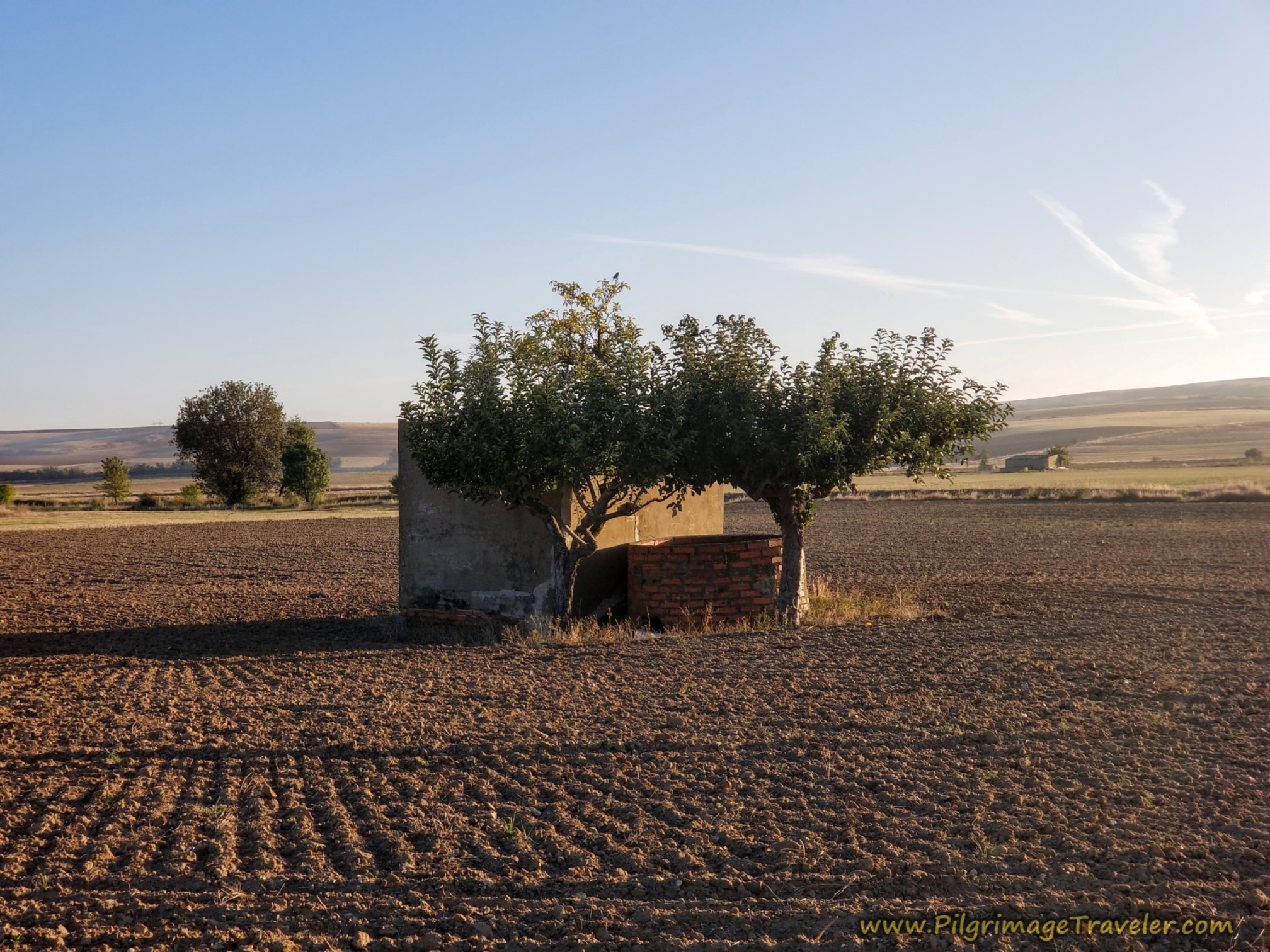 Well and Storage Structure
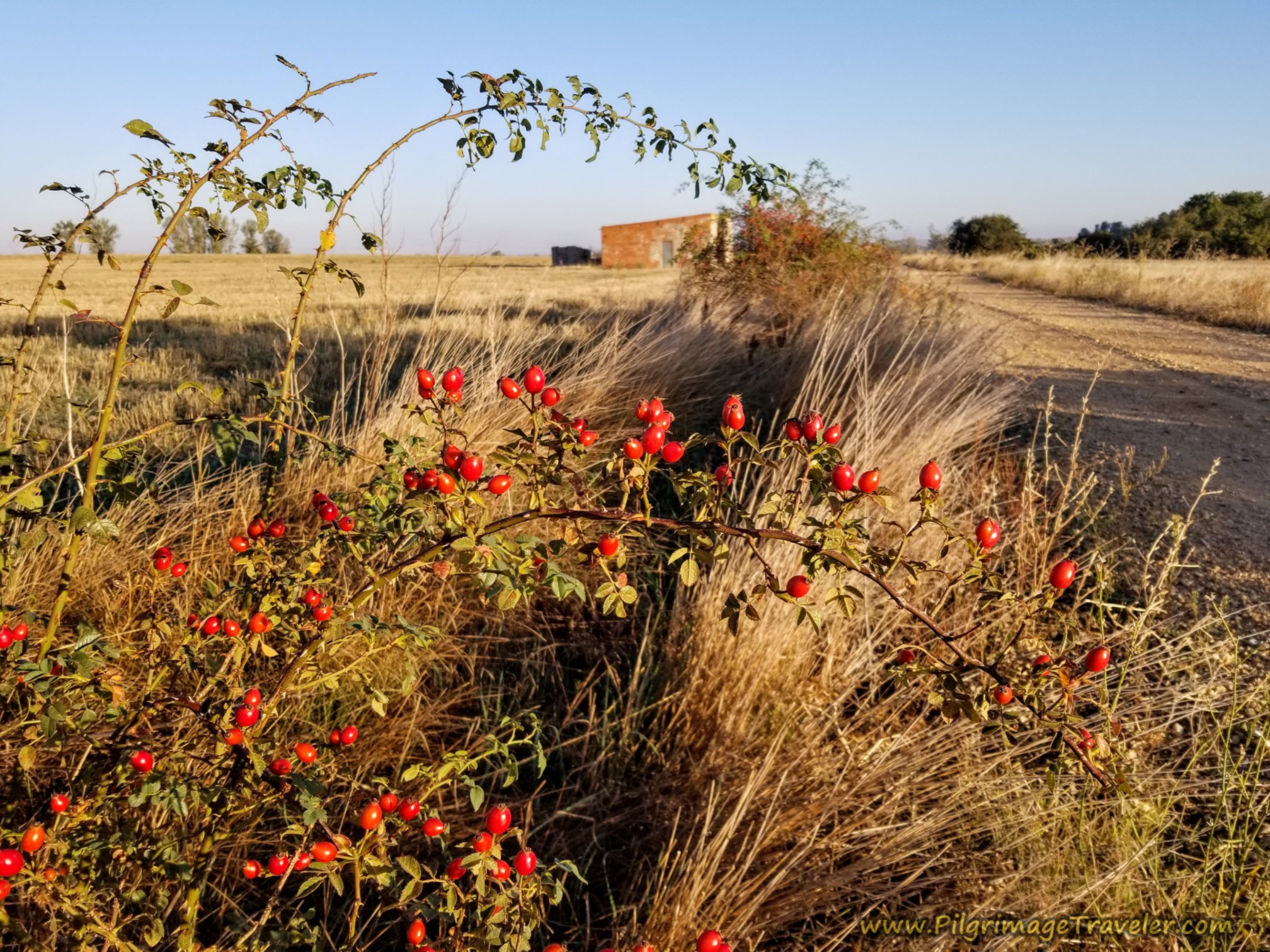
Another contrast in October, the road was lined with wild rose bushes and its remaining fruit, the rosehips shown below.
After about 17.0 kilometers into the day, with the town of San Marcial clearly in the distance, instead of heading toward the town, the Camino directs you to turn right, at the waymark pictured below. This direction also heads toward the power line shown in the photos to follow.
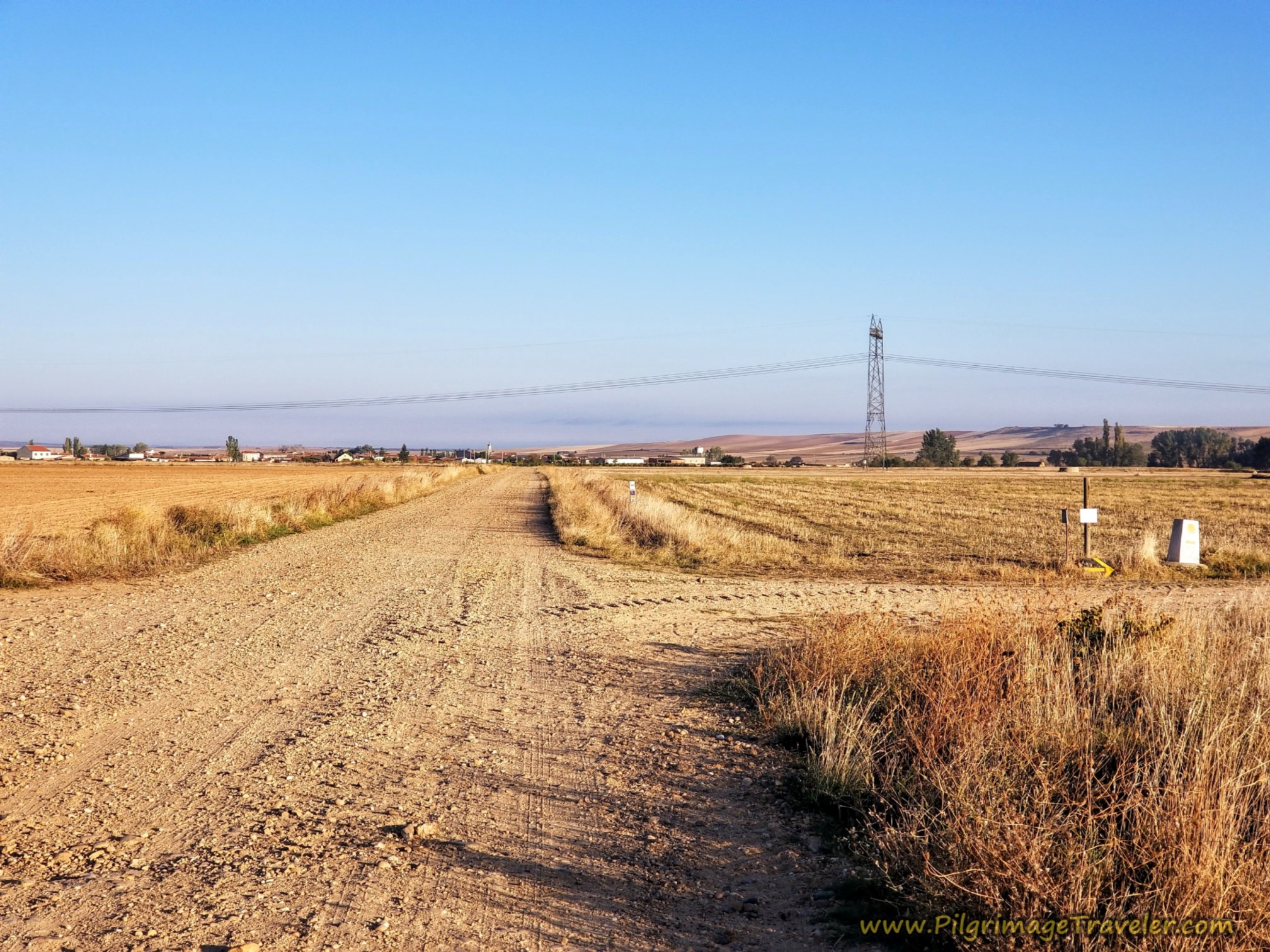 Right Turn Away from San Marcial
You could stay straight here to head into San Marcial, if you were in dire need of services, depending on your own day's journey. There is a bar and a grocery store.
It wouldn't even be a detour, if after you reached town, you headed north on the ZA-305 which the Camino eventually joins farther ahead. However, this is highway walking, so I wouldn’t recommend it, unless you really must have a bar break.
After turning right, notice a row of trees ahead of you, that is the Arroyo de los Barrios.
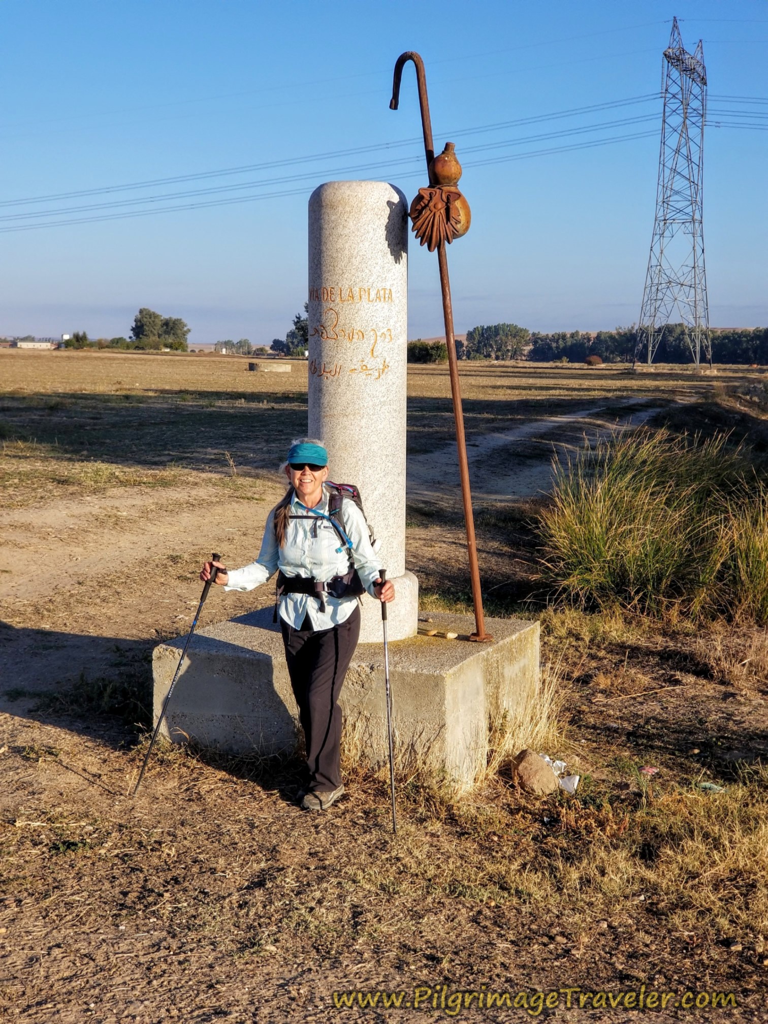
A few meters before the arroyo, come to the next intersection, after about 600 meters, at about 17.6 kilometers for the day. There is a waymark pillar, that for the first time had an accompanying pilgrim's staff and gourd, below. This is a unique characteristic of the Vía de la Plata. There are several more to come.
After crossing the arroyo, it appears that there is a bit of an incline ahead, but instead, several hundred meters later, the Way directs you to the left, at this intersection shown next.
Painted on the concrete waymark, but not visible in the photo, we saw "Zamora, 12 kilometers." Yes, that would be about right. Thank-you Camino Angel.
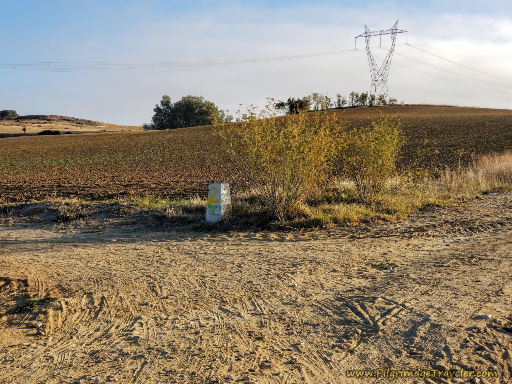 Zamora, 12 Kilometers
After the turn we spied our first of many concrete water reservoirs, mentioned above, scattered around the fields.
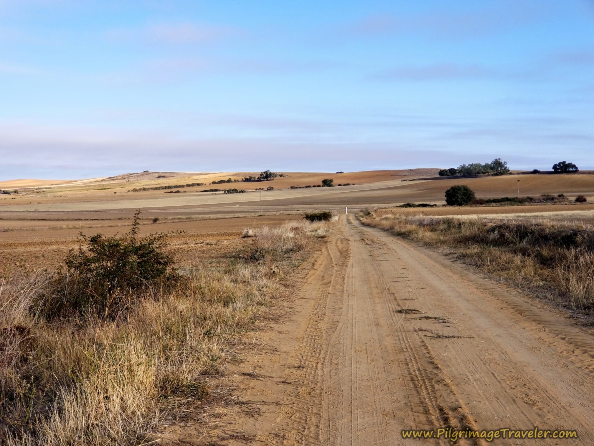
After passing under the powerline, here is the long barren road ahead shown below, with a visible white pillar in the distance at the next turn. You can continue to see San Marcial on your left shoulder.
Jump to Vía de la Plata Stages
I hung back from the group today, as I voice journaled my experience. I was not into the group talk of the day, but preferred to stay behind, alone with my thoughts as the others marched on ahead of me. Once in a while my husband would slow down and look back to check up on me. It was comforting.
If I was looking for answers, none came. If I was seeking God, my head was too busy processing random thoughts.
You are about 19 kilometers into the day when you reach this pillar at the next intersection, below, where you make a right turn.
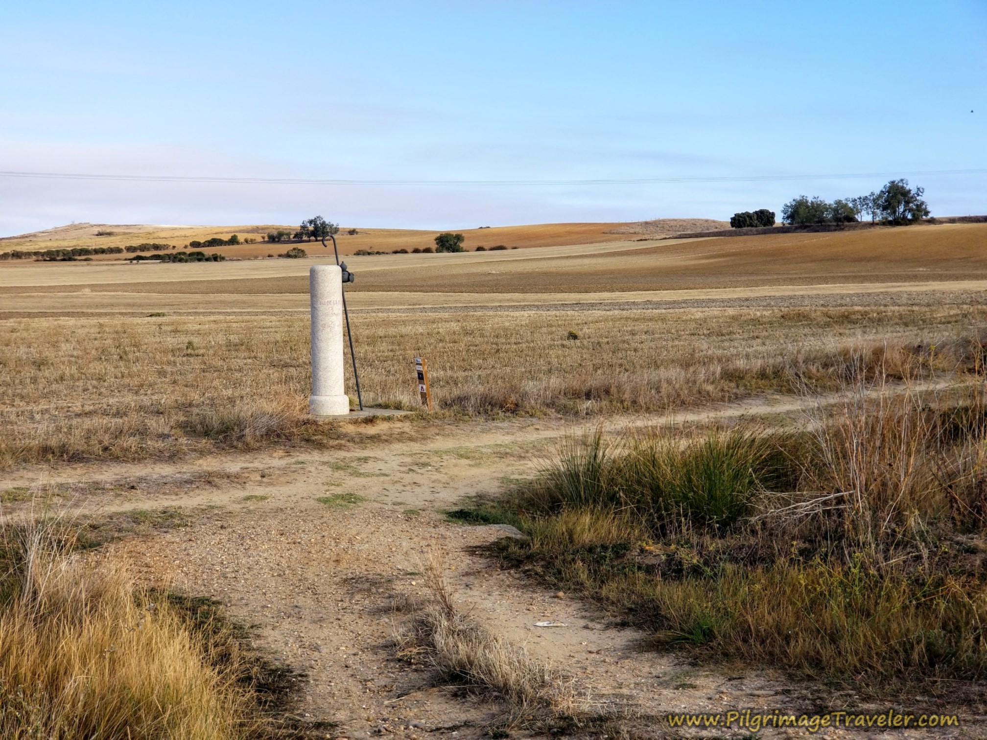 Right Turn at Pillar, 19 Km into the Day
After the turn, the road is open, hot and dry. You can see the church steeples of another town now, on your right shoulder, El Perdigón.
Next, there is a rise of about 30 meters (100 feet) over the next one kilometer, shown below. This photo, taken in June shows the straw that had just been cut and baled after the winter wheat harvest.
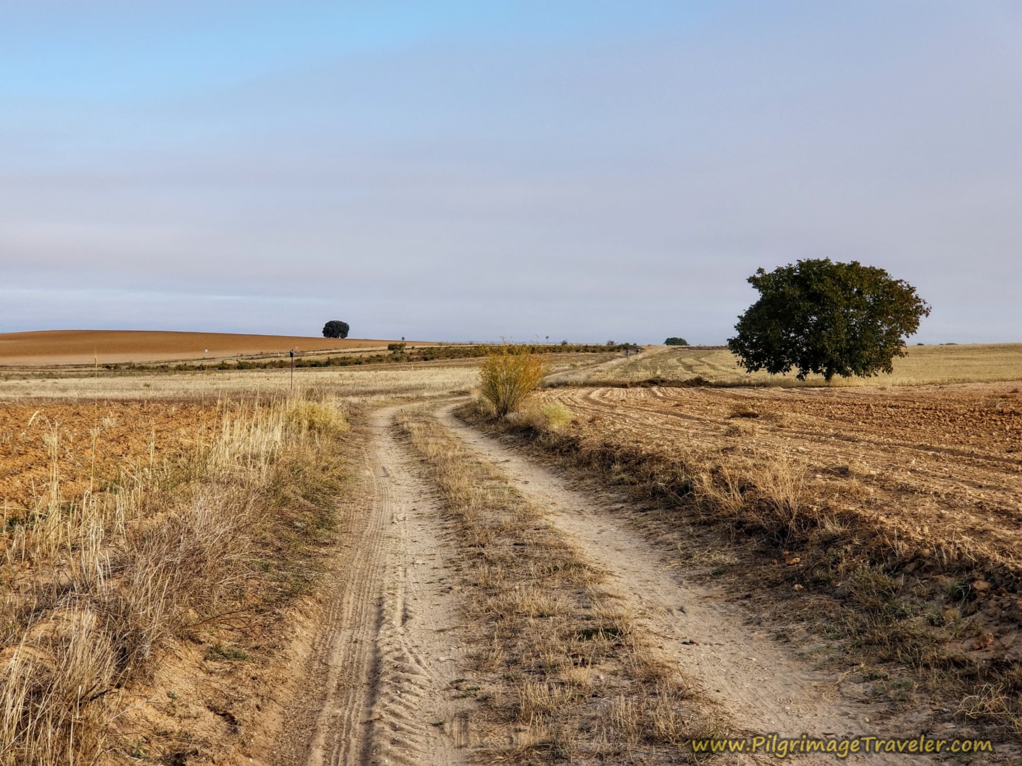 More Open Road
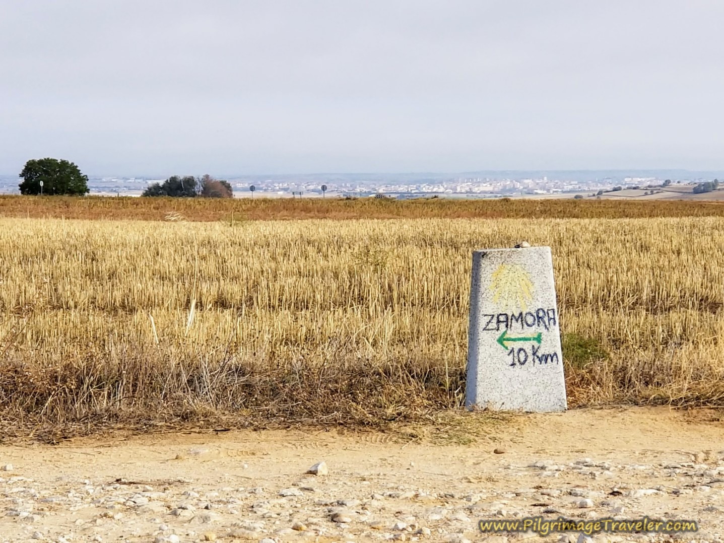
At the top of the rise, the city of Zamora comes clearly into focus! When you arrive at a T-intersection, after 20.1 kilometers for the day, the concrete waymark, below, directs a turn to the left. Zamora is only about 10 kilometers away from this point.
In barely 100 meters, this lane comes to a T-intersection with the ZA-305, the paved road that joins the Camino from San Marcial. Take a right hand turn onto the pavement toward Zamora.
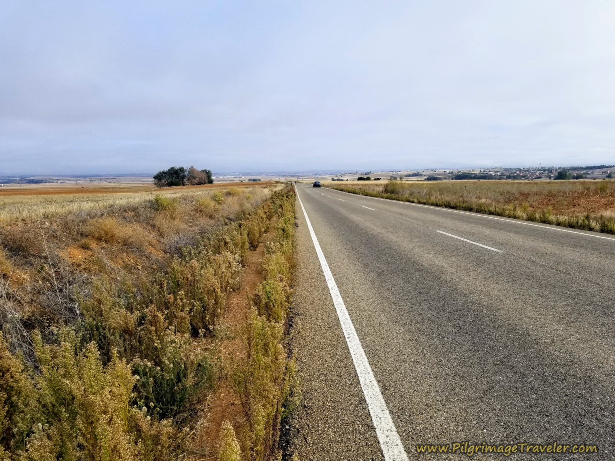 Join the ZA-305
Fortunately, it is only a short kilometer or so later that the Camino leaves the road, to go back onto the farmer's lanes, at a strong bend in the road to the right.
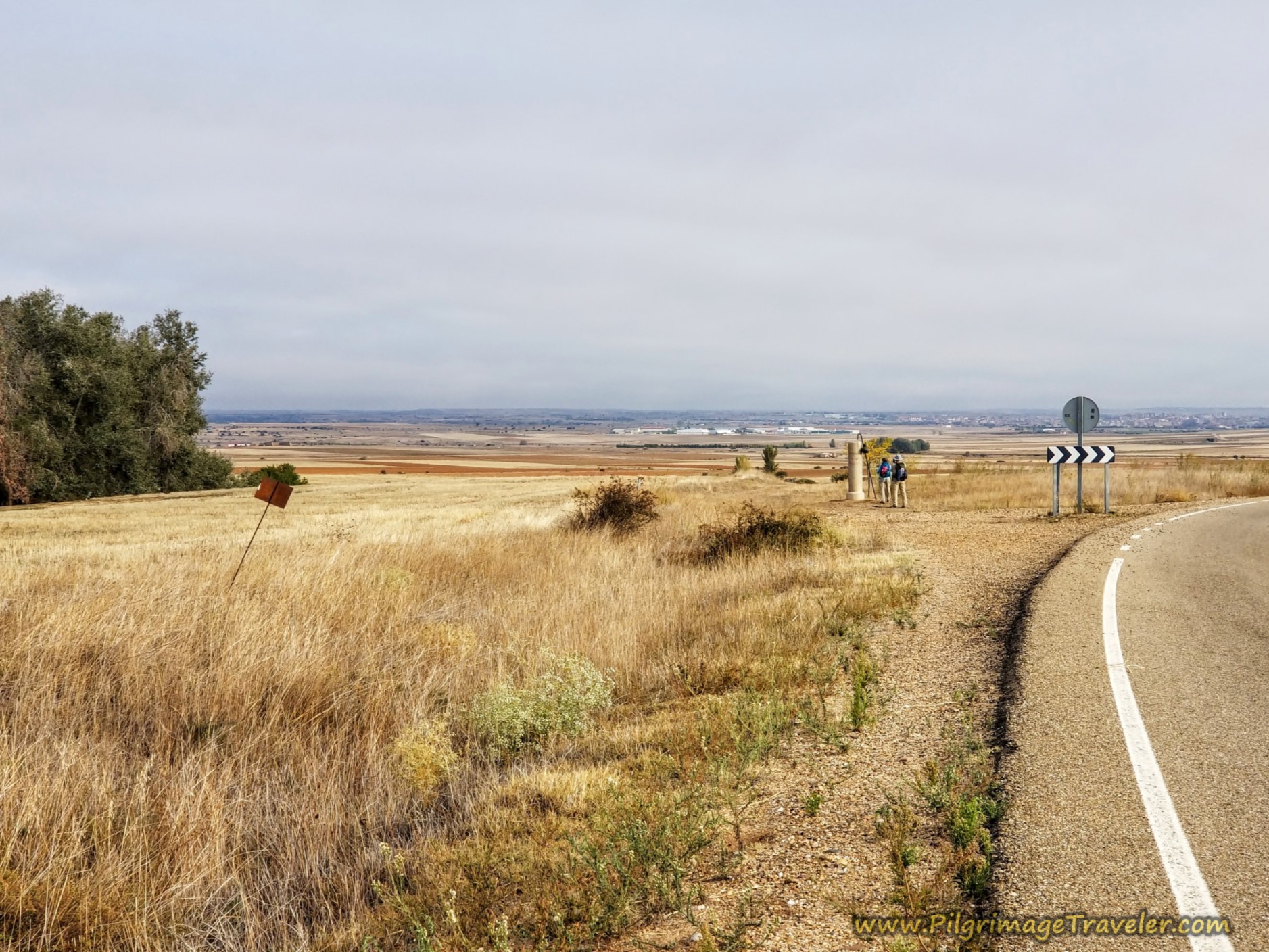 Leave the ZA-305
It is after about 21.3 kilometers that you reach the turnoff from the ZA-305, at this pillar, shown next. This is one of the last pillars of its kind, so take a long look or a photo! I caught up to the others here as they admired the pillar and the view.
Very recently, a resting bench has been added by the pillar, advertising a bank, with the back a large yellow arrow. It seems these bank benches are popping up along the Camino in a lot of places!
If you look closely at the photo above, there is no bench and that is our friends in the photo from our trip together. However, Rich and I did use the bench for a break on the long day, our second time through.
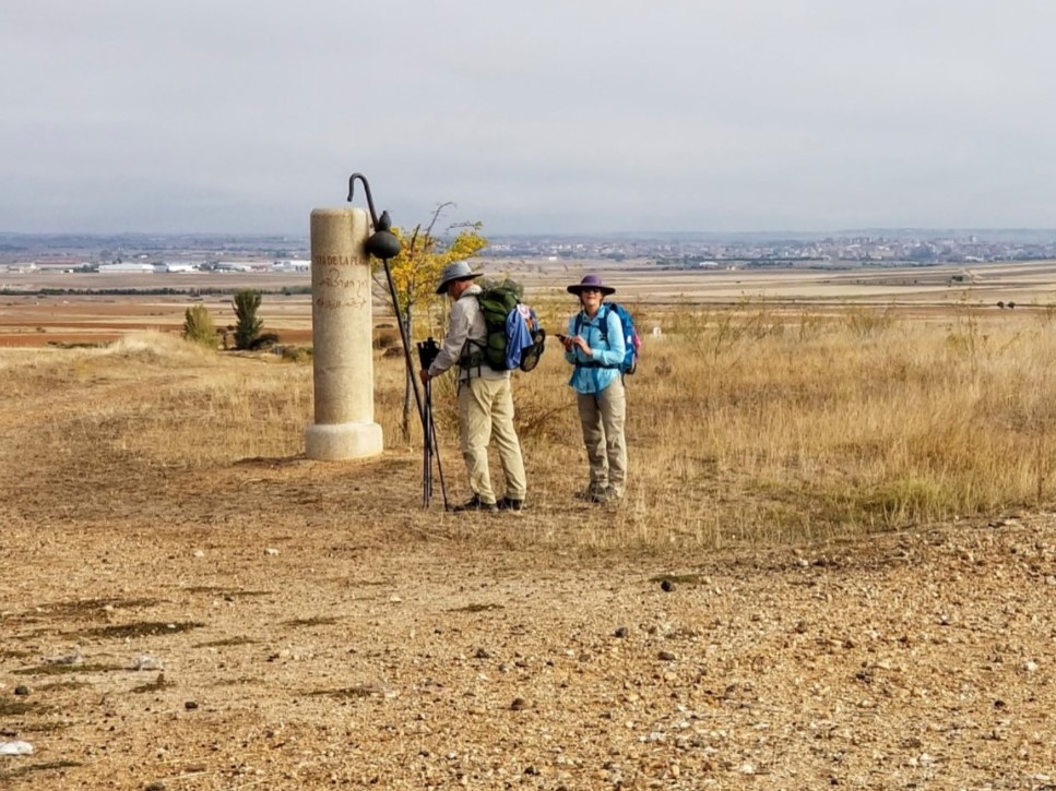
Because it was so hot and there was no shade, we actually put up our sun umbrellas while we sat here. I just didn’t want to wait to try to find another break place, because it looked like there was no shade for quite a distance ahead!
The way ahead on the country lanes are once again a wonderful place for introspection. I continued seeking solitude.
The town of Entrala, with a prominent white tower, possibly a grain elevator or a water tower is visible on your right shoulder as you walk along through here (not pictured).
After about 300 meters from the last pillar, cross this intersection, seen ahead in the photo below. Zamora can also be seen ahead in the distance and the way is downhill from here.
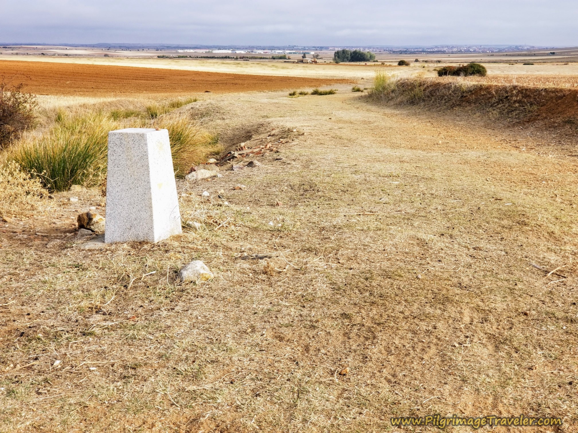 Zamora Visible Ahead Downhill
Another 1.5 kilometers onward, pass by this group of farm buildings.
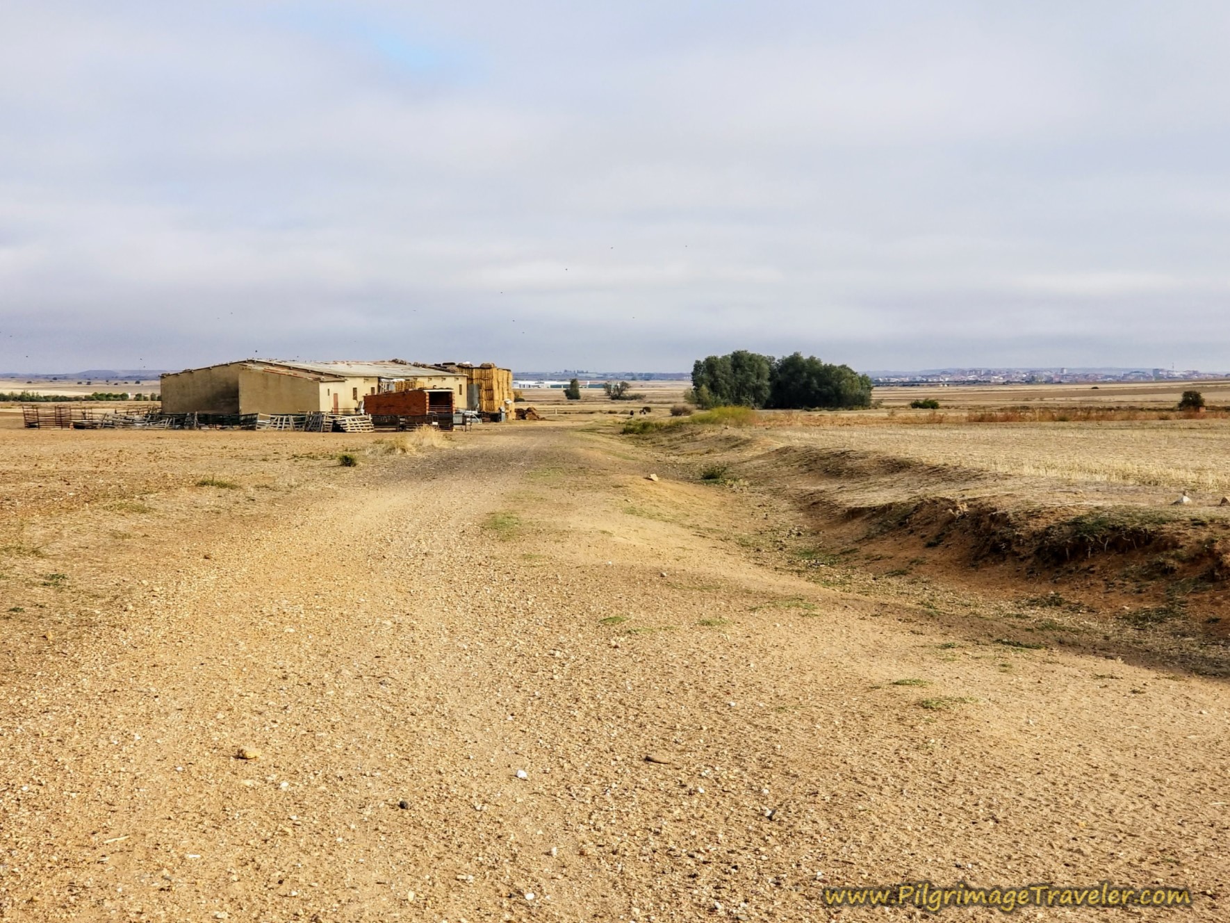 Farm Buildings Break Up the View
After 23.7 kilometers on the Vía de la Plata from El Cubo de Tierra del Vino to Zamora we came to this final staff and gourd pillar, shown below, where a group of French pilgrims were having their lunch. More humans! We would not see them again, as they were just completing a section that would end in Zamora. They had the luxury of completing small sections of the Silver Way at a time.
The pillar marks the left turn, also shown in the photo, onto the little bridge with the yellow arrow.
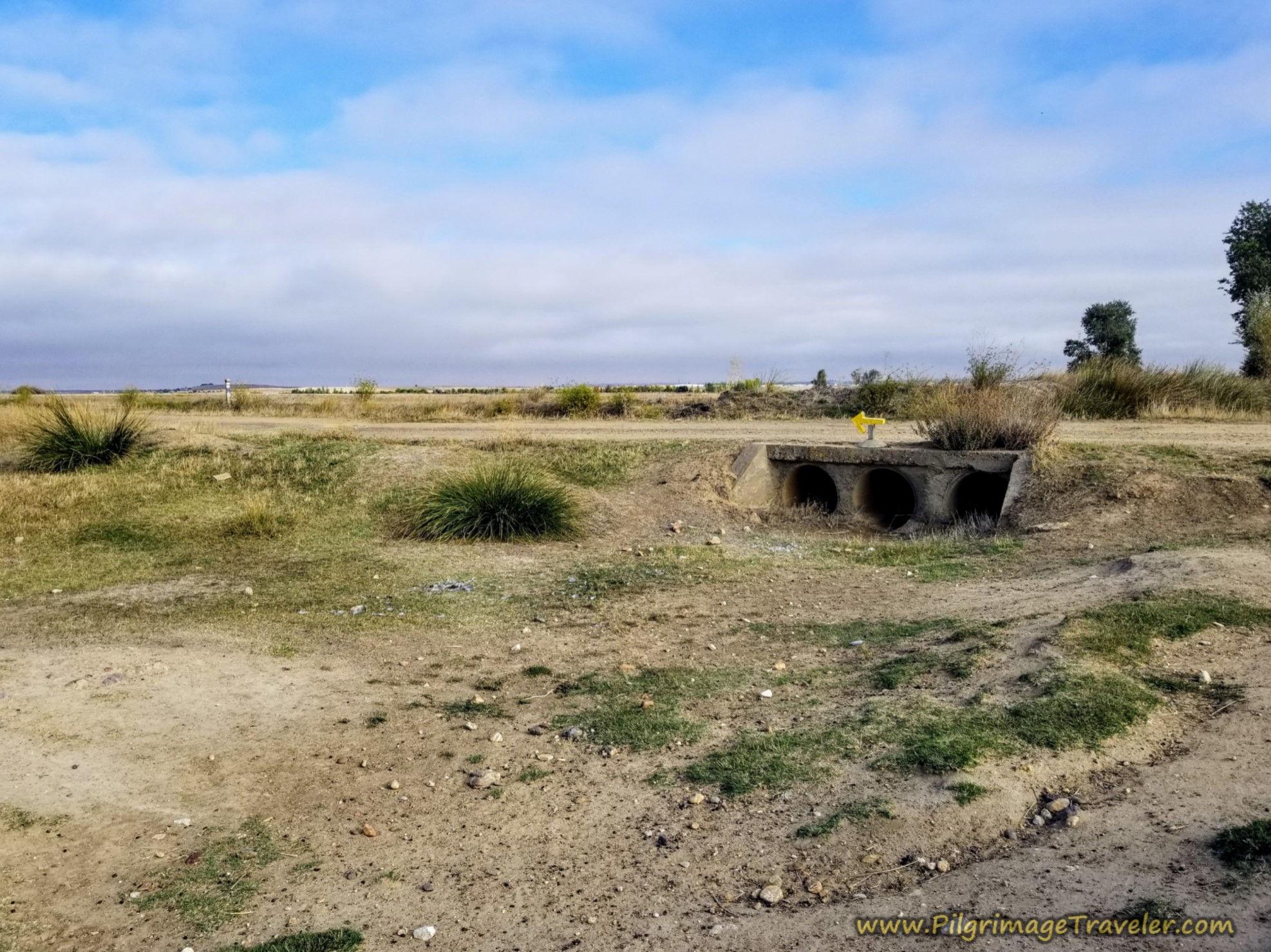 Fellow Pilgrimage Travelers
The diversion to the left is only about 300 meters before the Camino turns to the north (right) again, shown below. At this turn you now share the road with another trail system called the GR 14 or La Senda del Duero, but only until Zamora. Click on the link if you are curious about this trail.
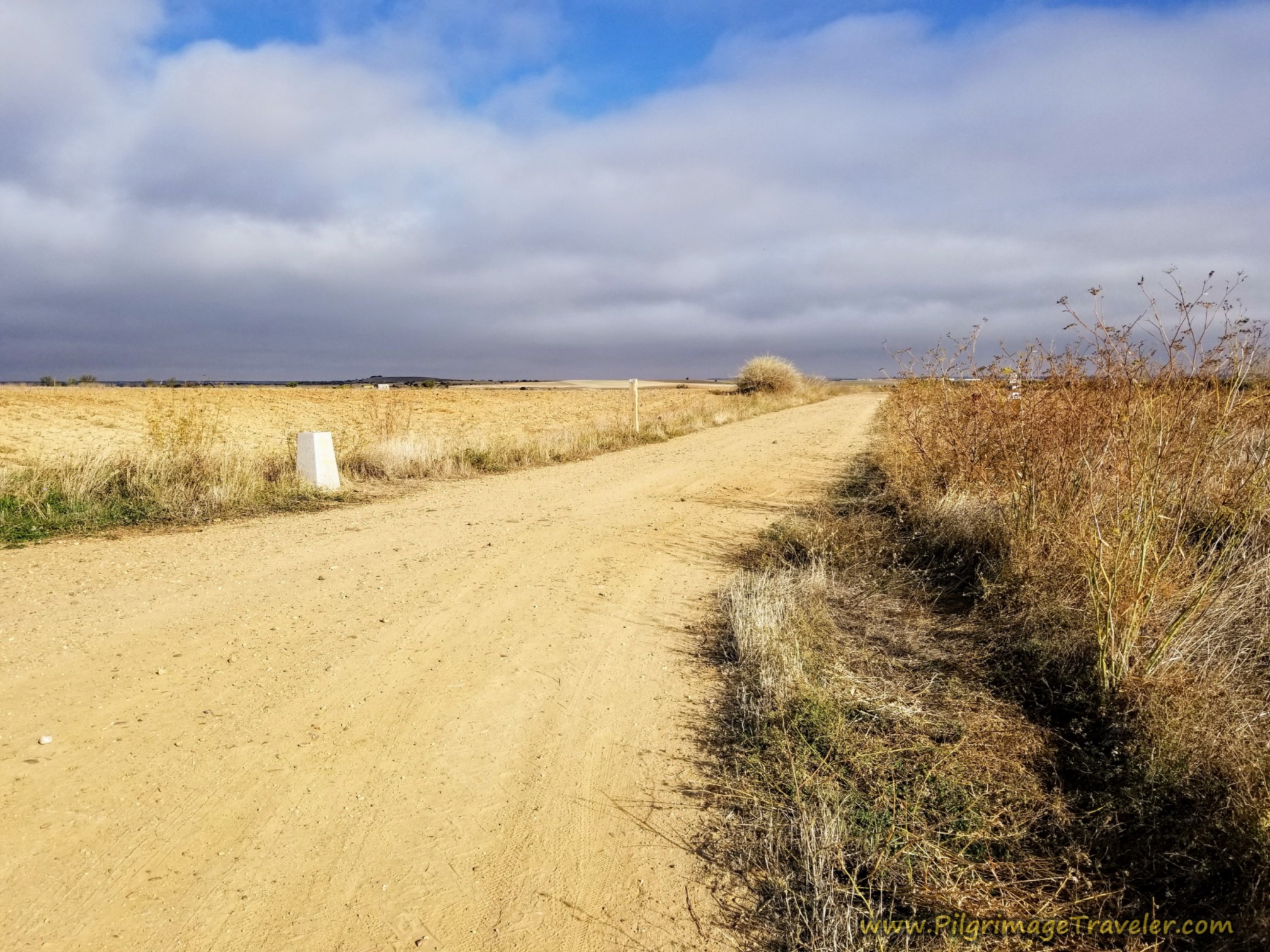 More Open Road
Shortly after the turn above, the separate red trail marker for the GR 14, has a 6 kilometer marking. This is a rough estimate of the remaining kilometers to go on your own Vía de la Plata from El Cubo de Tierra del Vino to Zamora.
It was somewhere during the day, after passing through so many farm fields and waving to a farmer that I felt a little emotional towards the farmers of the world.
I thought, I am so thankful for farmers. I blessed the hands of the farmers who dedicate their lives to feeding the world! At that moment it made me feel very emotional and very happy!
Jump to Vía de la Plata Stages
The Curbstone of the Promises Monoliths
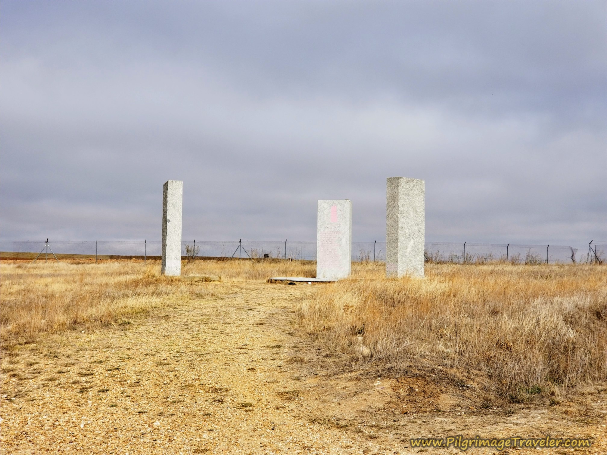
After 25 kilometers we came to this monument, below, called El Brocal de las Promesas y Monolitos de las Tres Calzadas, meaning roughly, the "Curbstone of the Promises and the Monoliths of the Three Roads."
This monument, erected in 2009 by the Association of Friends of the Camino de Santiago de la Vía de la Plata de Zamora and the Ramos de Castro Foundation for the Study and Promotion of Man, commemorates the confluence of three Jacobean routes: the Via Mirandesa, a route of friendship and the Jewish path to freedom, the Vía de la Plata, symbolizing a meeting point for cultures in peace and the Vía de la Dalmacia, a reminder of a Muslim pilgrim's way to San Francisco.
Each of the three monoliths represents each Vía, with a separate inscription describing the significance of each. By the middle monolith is also a round structure that simulates a wishing well, where pilgrims may deposit stones as they make a wish.
Thus, the symbolism of the monument is to honor the Christian, Jewish and Muslim cultures who lived in this land in Peace for many, many years before the Christian Reconquest. These trails were established by the first Mozarabic pilgrims, another reminder of the arabic connection that has never fully disappeared.
I wish I had known about this monument before we arrived, but we all buzzed right by it. I stopped just long enough to snap a photo of it as a landmark.
Between our desire to get to Zamora and out of the hot sun and the difficulty in deciphering the Spanish on each monolith, we failed to enrich our day with a wish and a meditative stop here. But now, you, dear pilgrim, will know and will not make our mistake.
I must also admit that I was caught up in the idea that I must keep up with the group as they all hurried onward. Part of my mental processing on this day was just how I felt about walking with a group. It was a toss-up. There were most certainly advantages and disadvantages.
If your goal is not to "get there," spend some moments in wonder and gratitude as you meander through this barren meseta of Spain, perhaps also seeking an inward journey.
Jump to Camino Primitivo Stages
Back on the Vía de la Plata from El Cubo de Tierra del Vino to Zamora
It is at the monument, where you make a right hand turn to follow the Camino onward, following the well-waymarked Vía.
Shortly the road takes a bend toward the north, and you can see Zamora getting much closer. There is a railroad track to your right shoulder that you walk close to, but soon it takes a separate path.
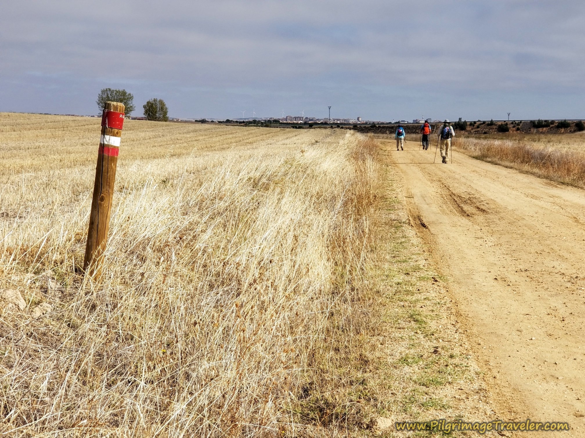 Zamora Getting Closer
After 26.9 kilometers, and after noticing a large industrial park on your left, you cross this highway heading towards the outskirts of town. Fortunately, this industrial park is far removed from the Camino and you never do have to walk through it.
The red signposts of the GR 14, La Senda del Duero, in various formats come more frequently now, the closer you get to town. The one across the road says four kilometers to Zamora.
When I googled the municipal albergue in Zamora, it was 4.4 more kilometers from this intersection. Only another 54 minute walk. Good to know.
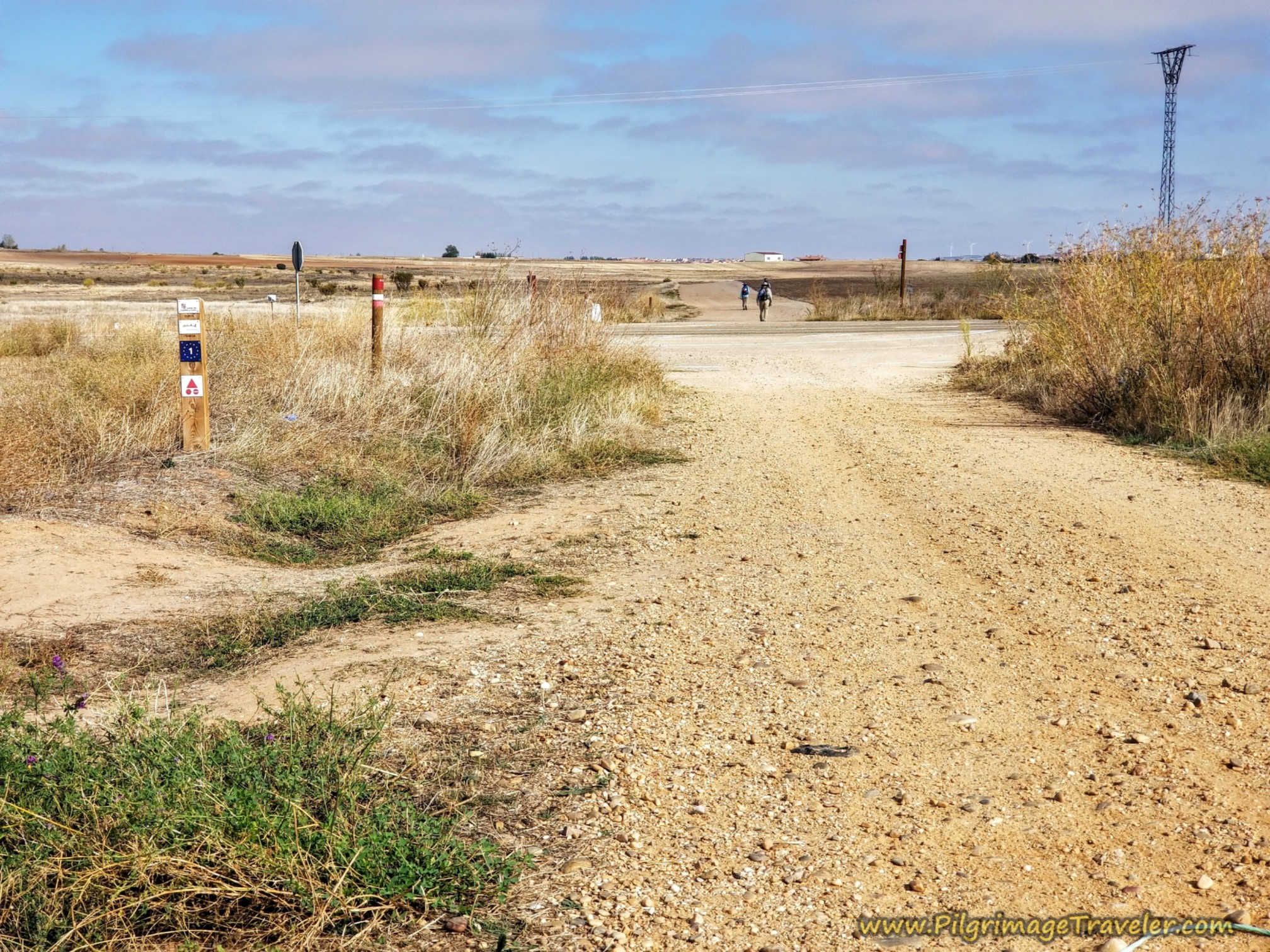 Cross Highway at Industrial Center
After another 800 meters or so and about 27.7 kilometers total, at a T-intersection, the next mojón directs you to the left, below. There are huge banks of solar panels at this unmistakable intersection.
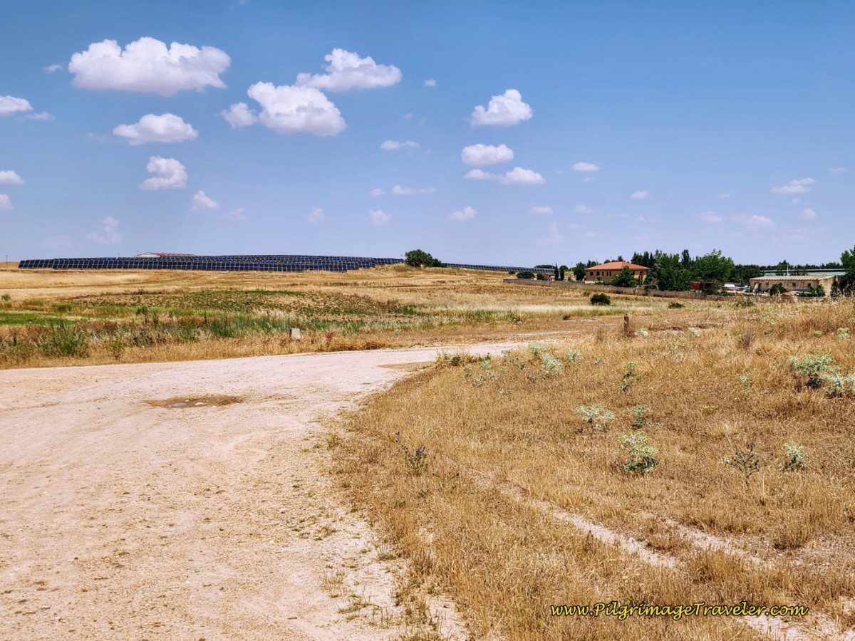 Left Turn at T-Intersection and Solar Banks
Walk only about 50 meters and turn to the right. Walk by the banks of solar panels on the way to a long-walled homestead that you can see in the above photo, after about 1/3 kilometer.
Come to a T-intersection after the homestead and stay to the left, with a lovely row of evergreens that line the roadway, pictured below. Walk by more solar panels.
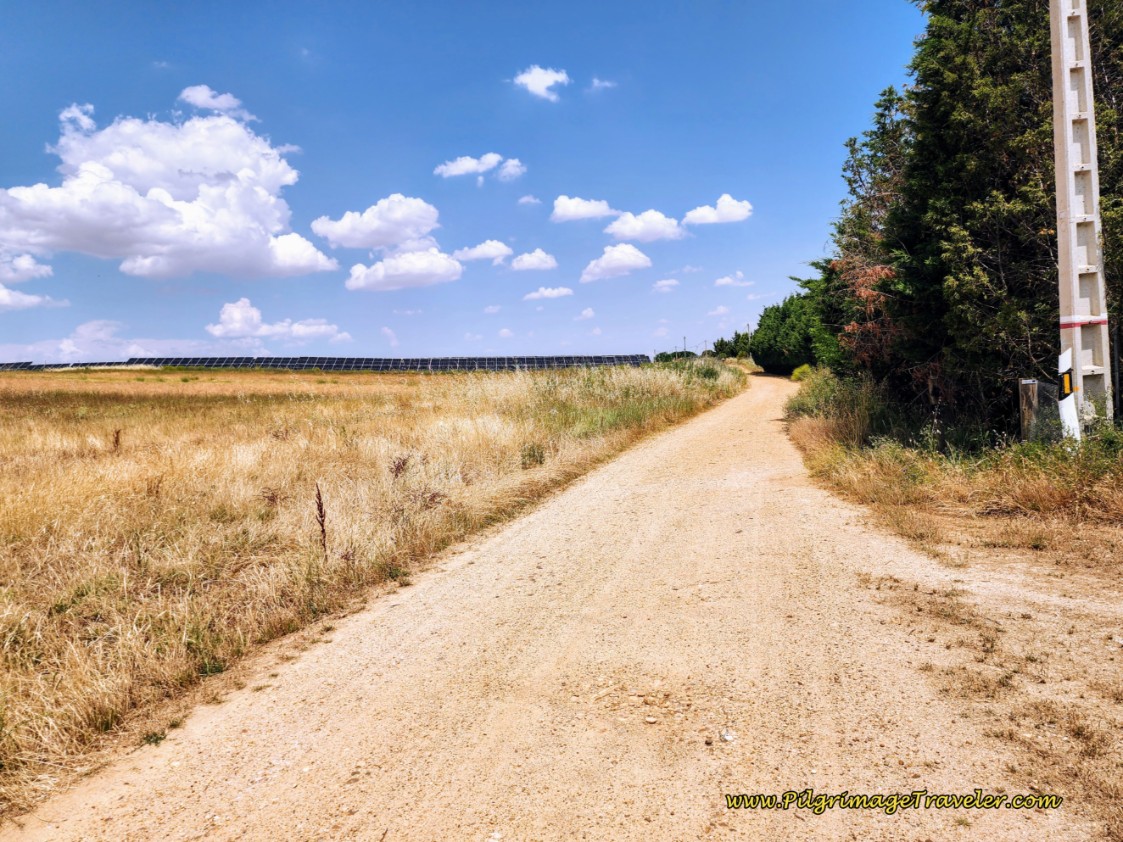 Walk by Row of Trees and More Solar Panels
Farther along this dirt road, Zamora appears in clear sight.
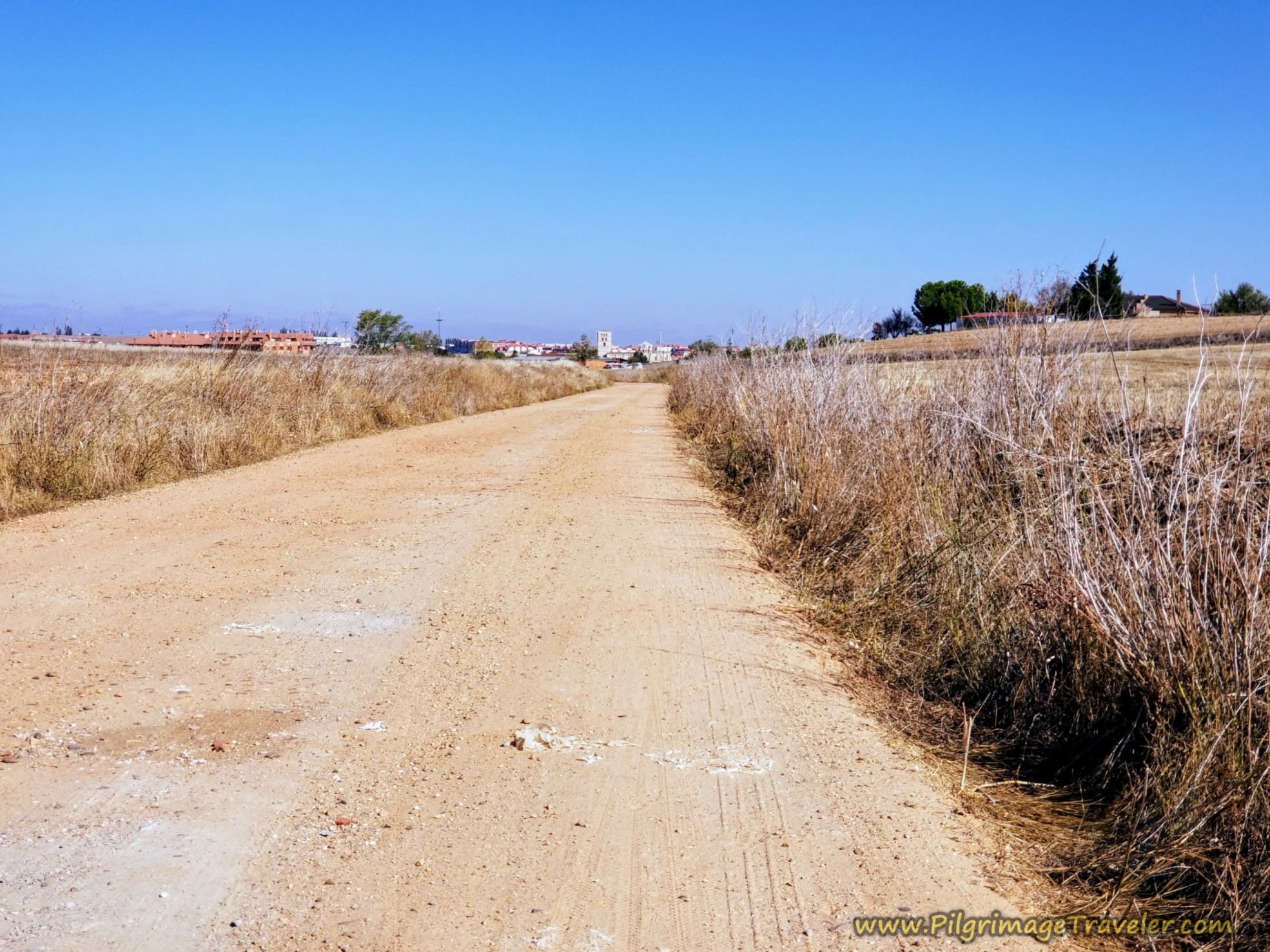 Zamora in Clear Sight Ahead
After about 29.3 kilometers, the dirt road finally ends and pavement begins at a Y-intersection. Stay to the left and pass this cement factory with the white towers that you can see in ahead the photo, below.
We both had our sun umbrellas up and were dying of the heat!
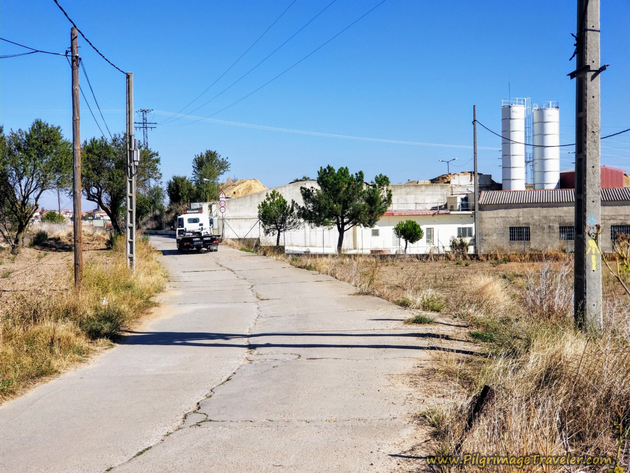 Pavement Begins at Cement Factory
300 meters later, after about 29.6 kilometers total, you cross the CL-527 highway, to see a Camino sign, below, leading you down the hill. The cathedral tower and rotunda are clearly in view.
The waymarking is very good coming into the city, with these large Camino signs giving you clear directions.
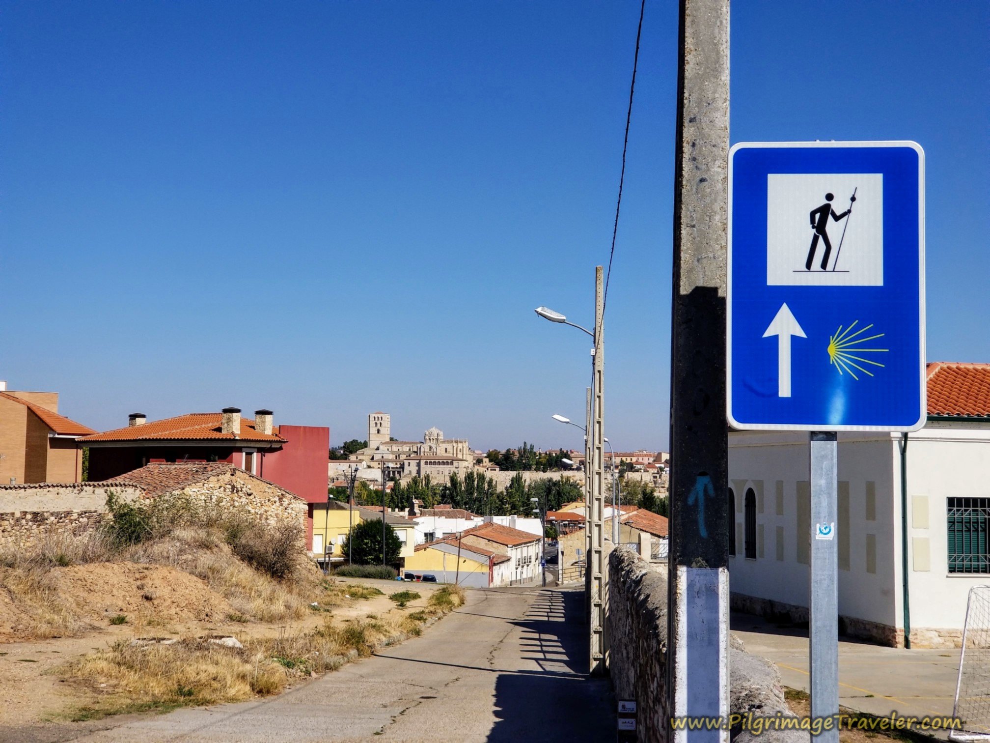
After staying straight onward at the last intersection, come to this next one after a few meters, below, with a small roundabout.
The yellow building to the left of the photo and just past the roundabout is the Bar La Cantina. This is the first bar you will see all day and it is directly on the Camino!
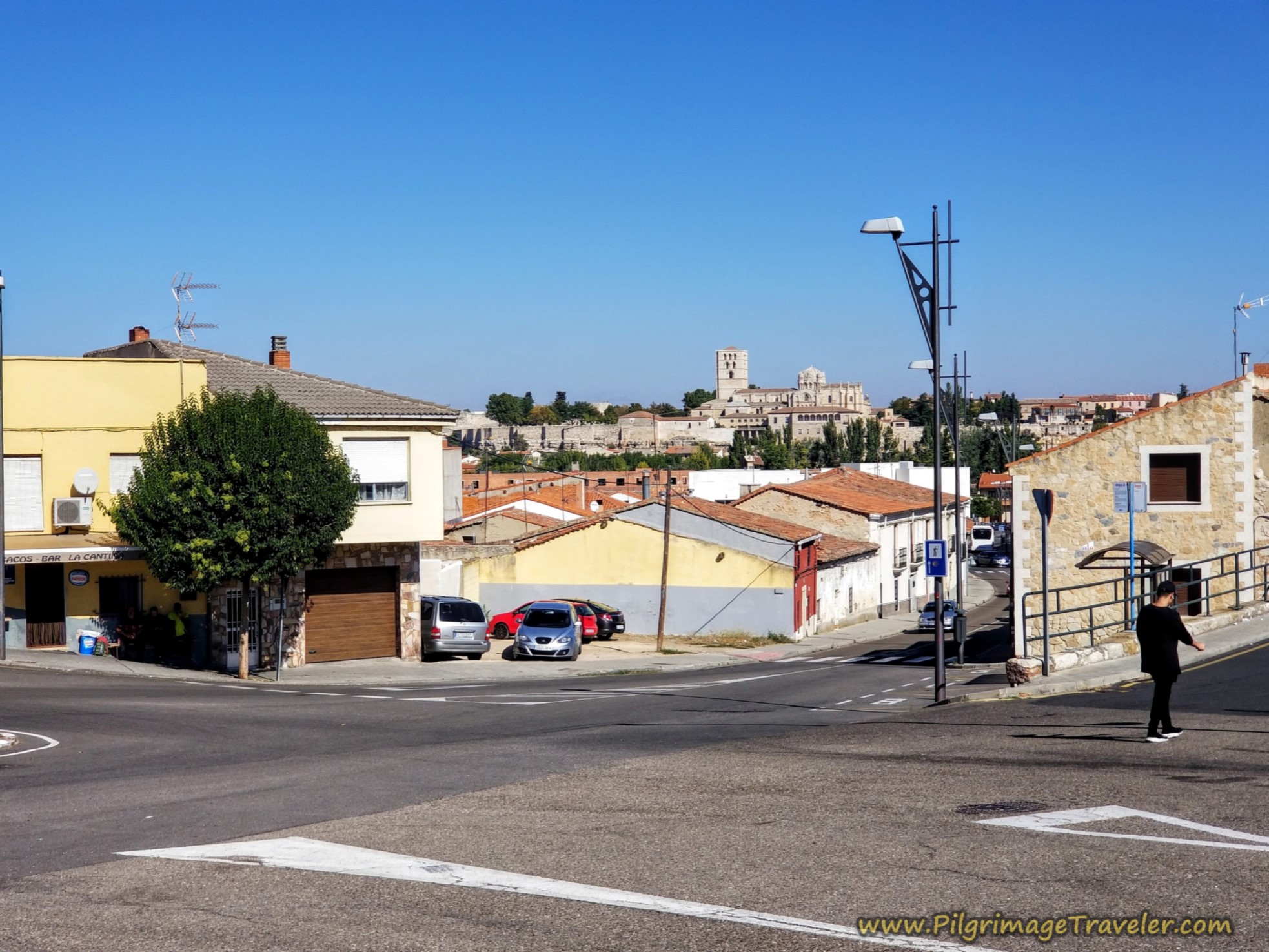 Cross Traffic Circle at Bar La Cantina
After 30 kilometers, Rich and I were so happy to see the bar, we stormed inside and crashed into empty seats - OMG, it was air conditioned! I think the temperature was about 38 degrees Celsius (100 Fahrenheit). You should have seen the looks we garnered! I absolutely did not care!
I know we had the refreshing Aquarius rehydrating beverage, and I believe we had cafés con leche as well.
We sat there for some time and I heard some surprise murmurings that we were actually drinking hot coffee. Oh well, the two beverages combined seemed to be what we needed!
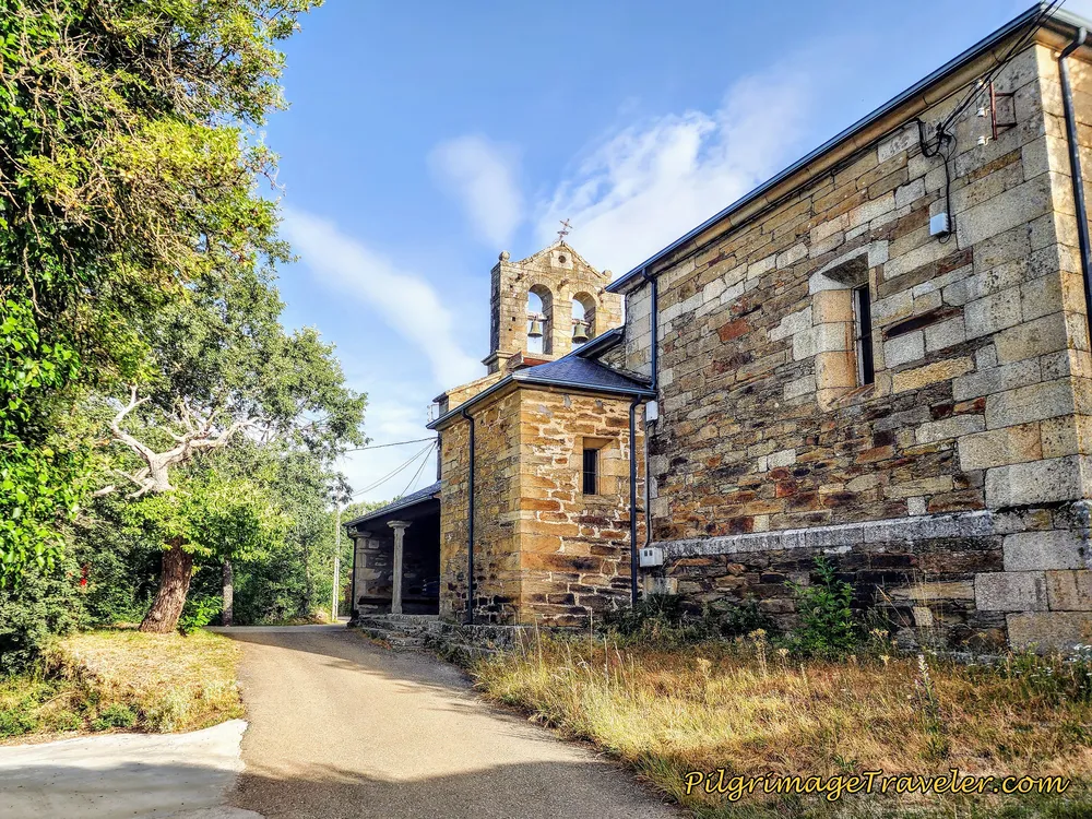
After our break and after passing the bar, the Camino heads straight down the hill for about 1/4 kilometer more, passing the landmark church, the Iglesia de San Frontis, shown below.
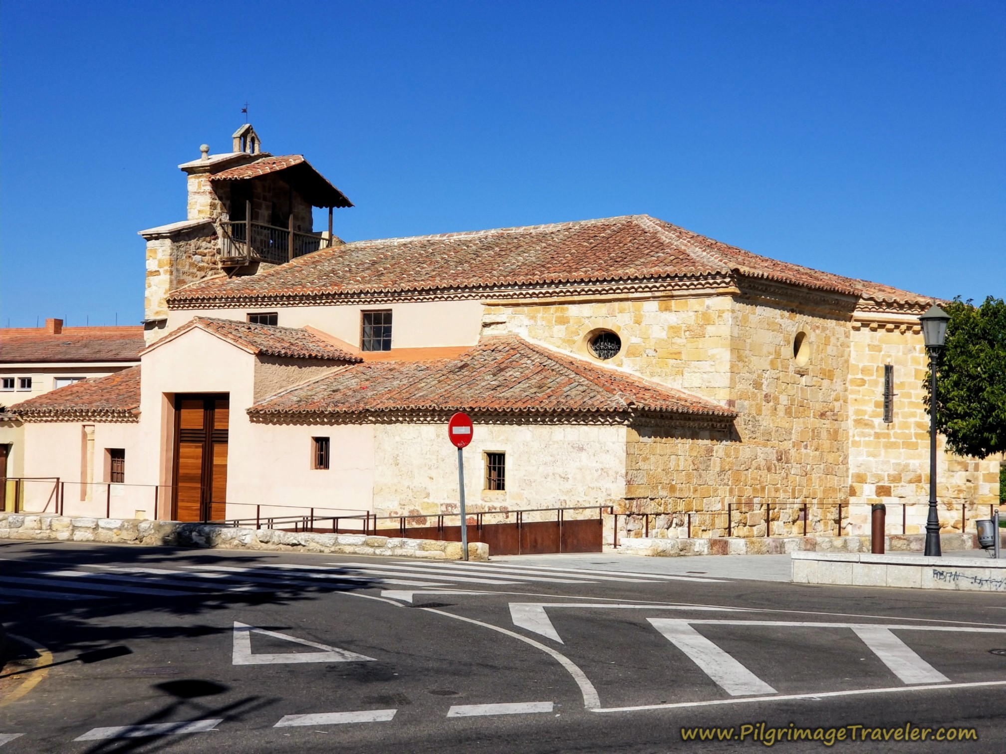 Pass by the Iglesia de San Frontis
By about 30.3 kilometers, after negotiating this large roundabout on its right side, shown below, you come to the Douro River waterfront promenade.
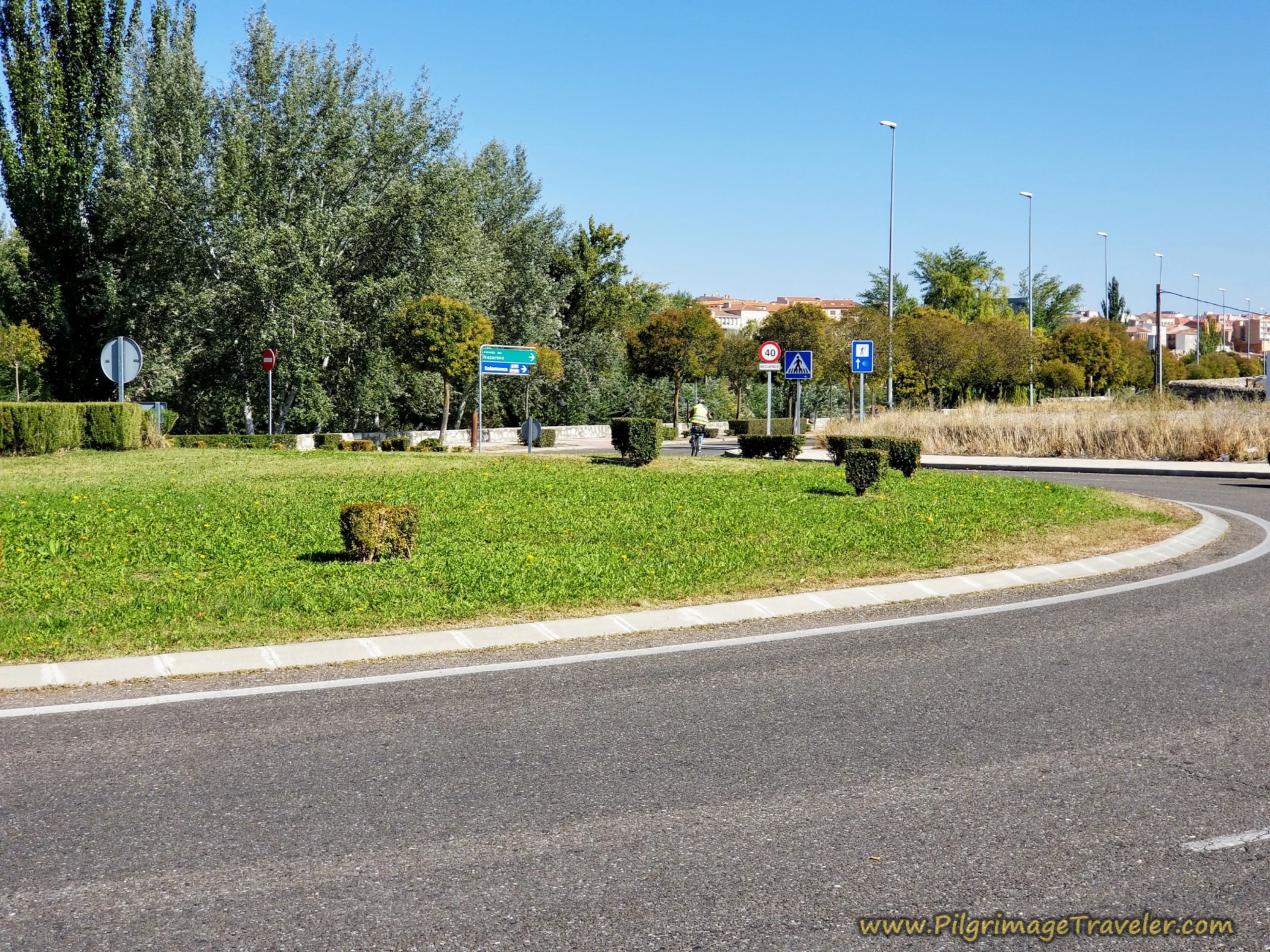 Turn to the Right Around the Large Traffic Circle
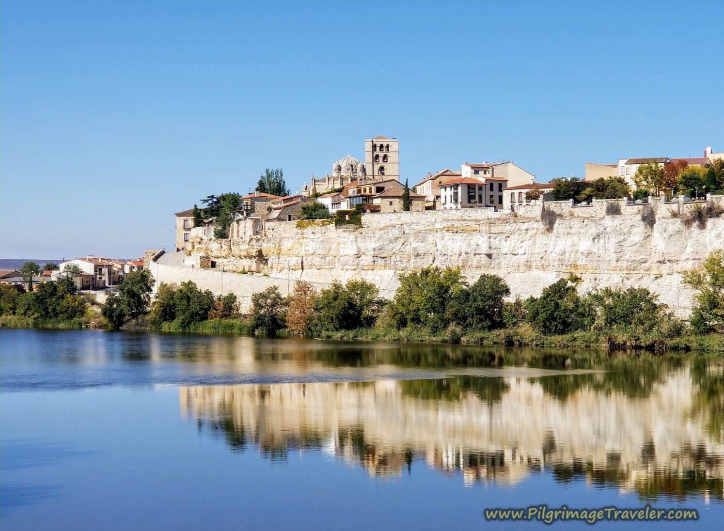
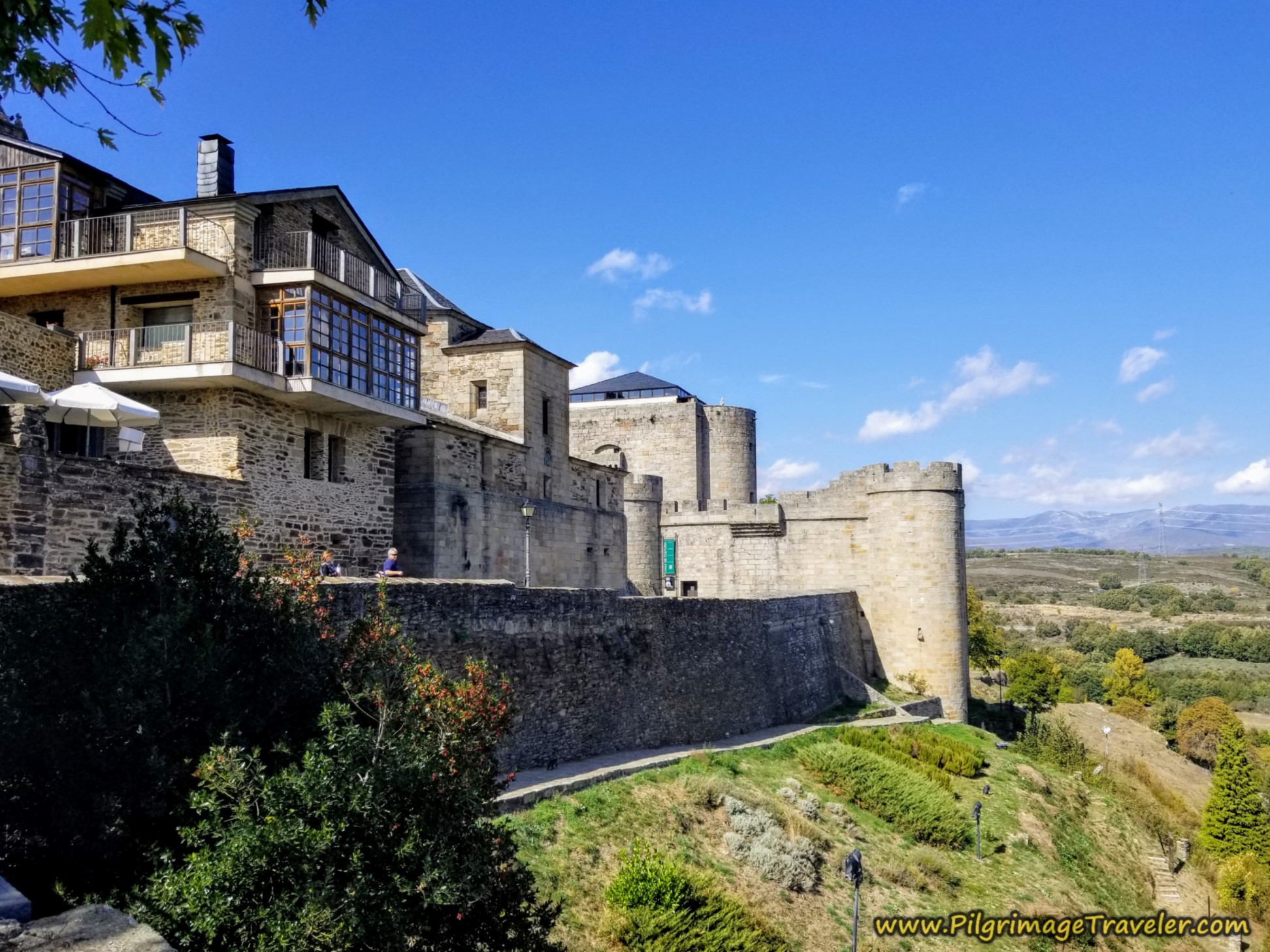
The promenade along the river is gorgeous and you get fantastic views of the fortified city, all the way along your walk. There is a pedestrian path above as well as below as you can see. But it is only the walk at the street level that brings you to the pedestrian bridge and into the city proper, farther along, so we stayed on it.
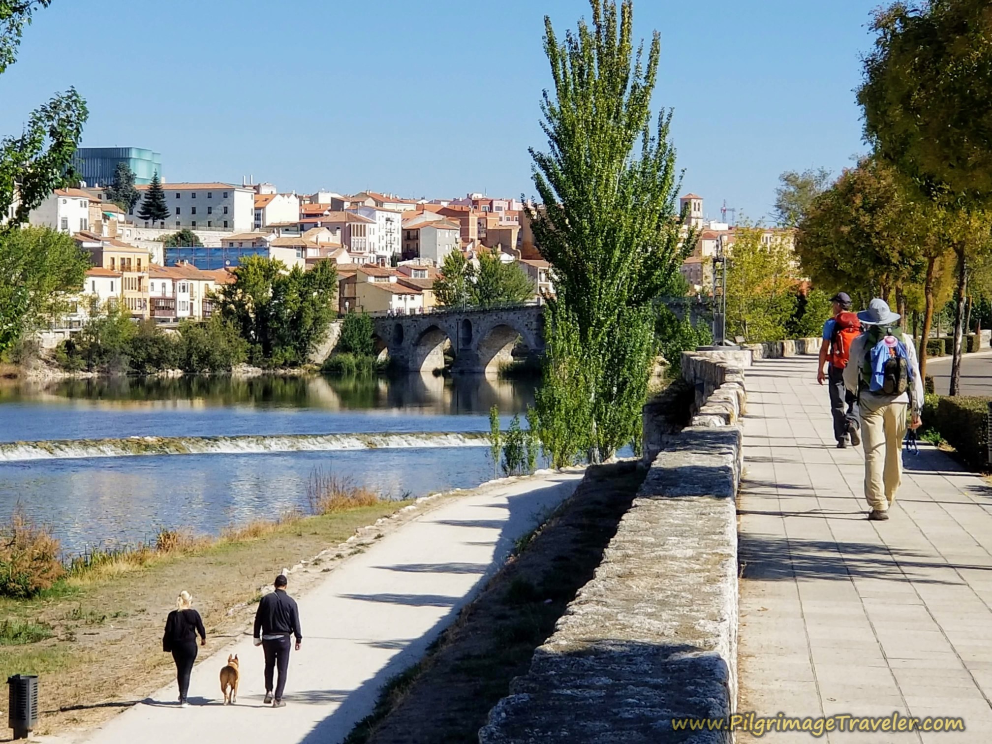
Jump to Vía de la Plata Stages
In the photo below, you can see the cathedral complex, towering above the fortress walls. You can also see the vestiges of the old Roman bridge jutting out of the water. There are quaint aceñas or old water mills just behind the old bridge, that are not discernable in the photo. Keep an eye out for all these features.
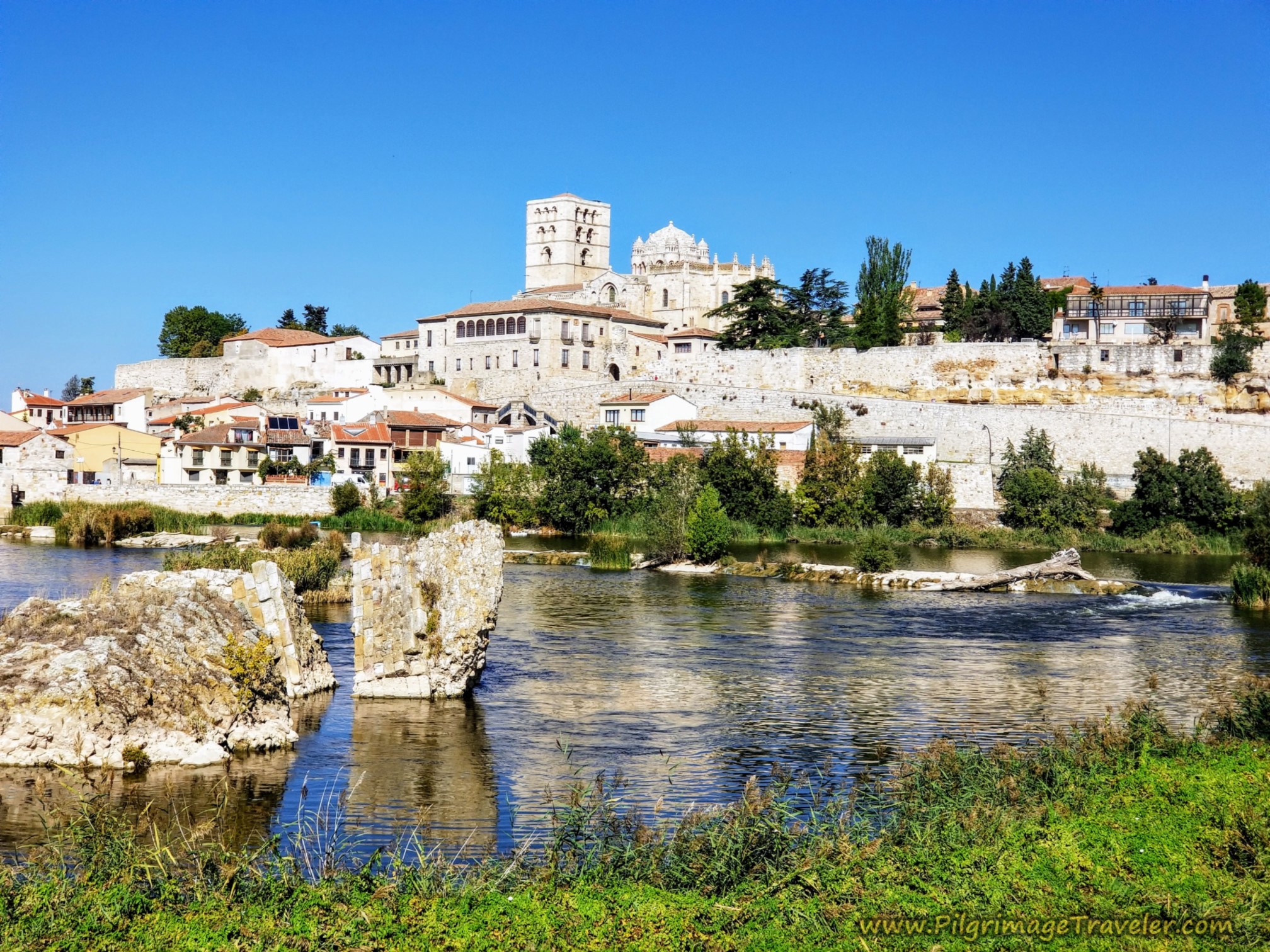
Just before the pedestrian bridge, is a nice public water fountain. If you are going through Zamora or are desperate for water, here is your opportunity.
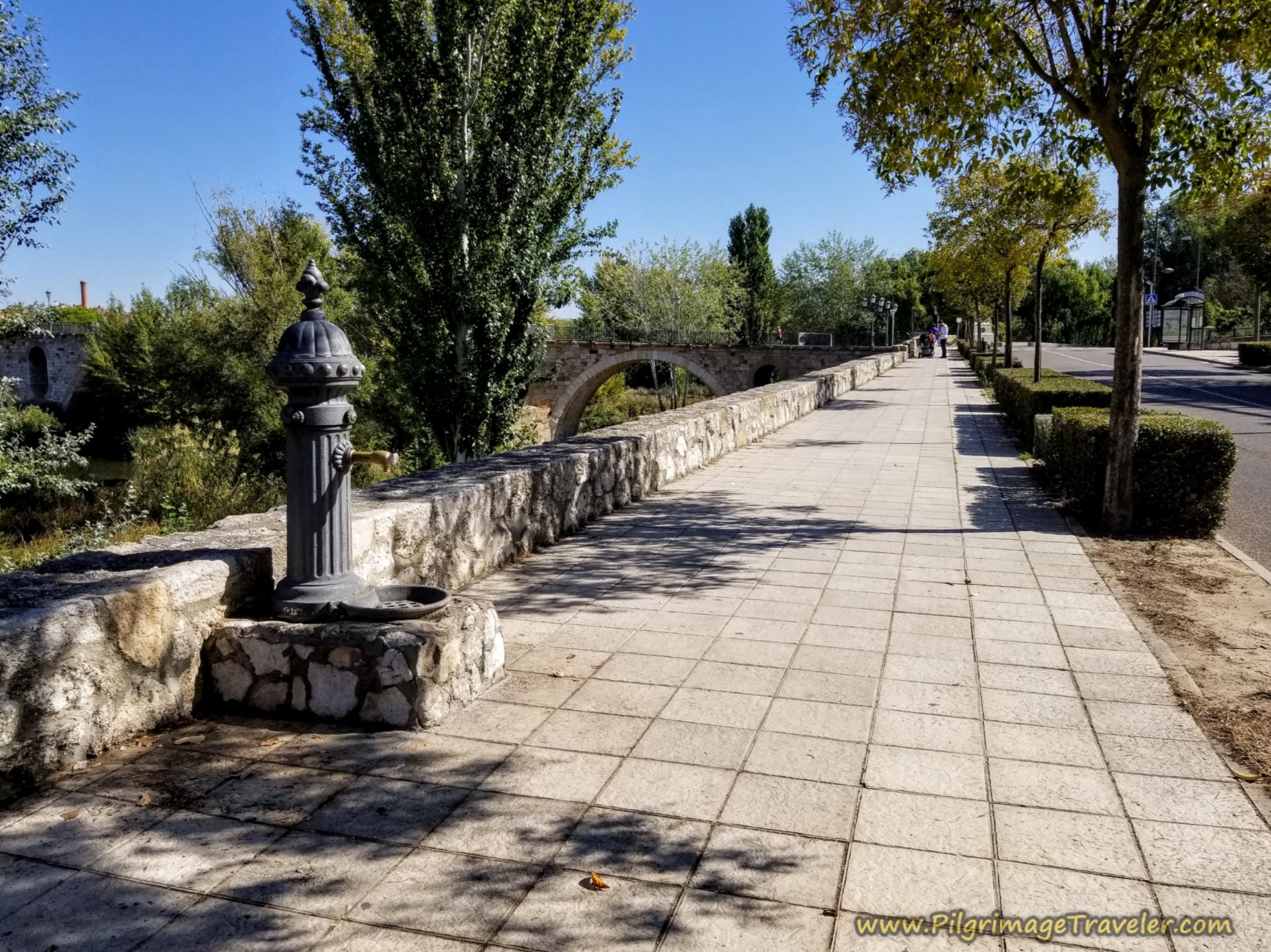 Water Fountain Along the River
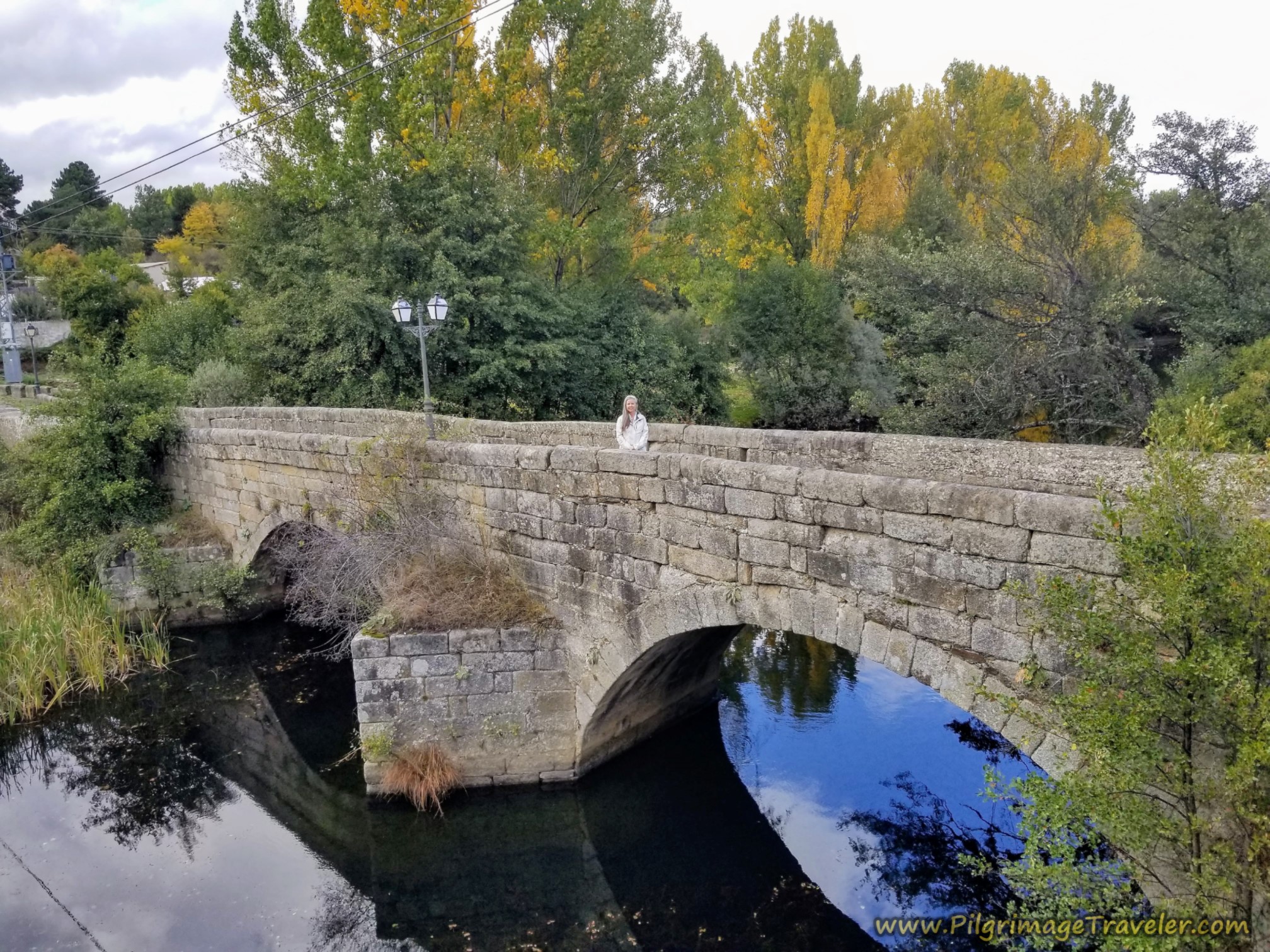
After about 30.8 kilometers you come to the Puente de Piedra, the pedestrian footbridge, shown below. It was first built in the 13th century and was the main bridge into the city, by way of the Vía de la Plata.
The bridge was vastly improved in 1905, when two historic towers and all of the ornamentation was removed for easier access.
Then again in 2023-2025 it was vastly improved. Only the stones of the arches and piles are now original.
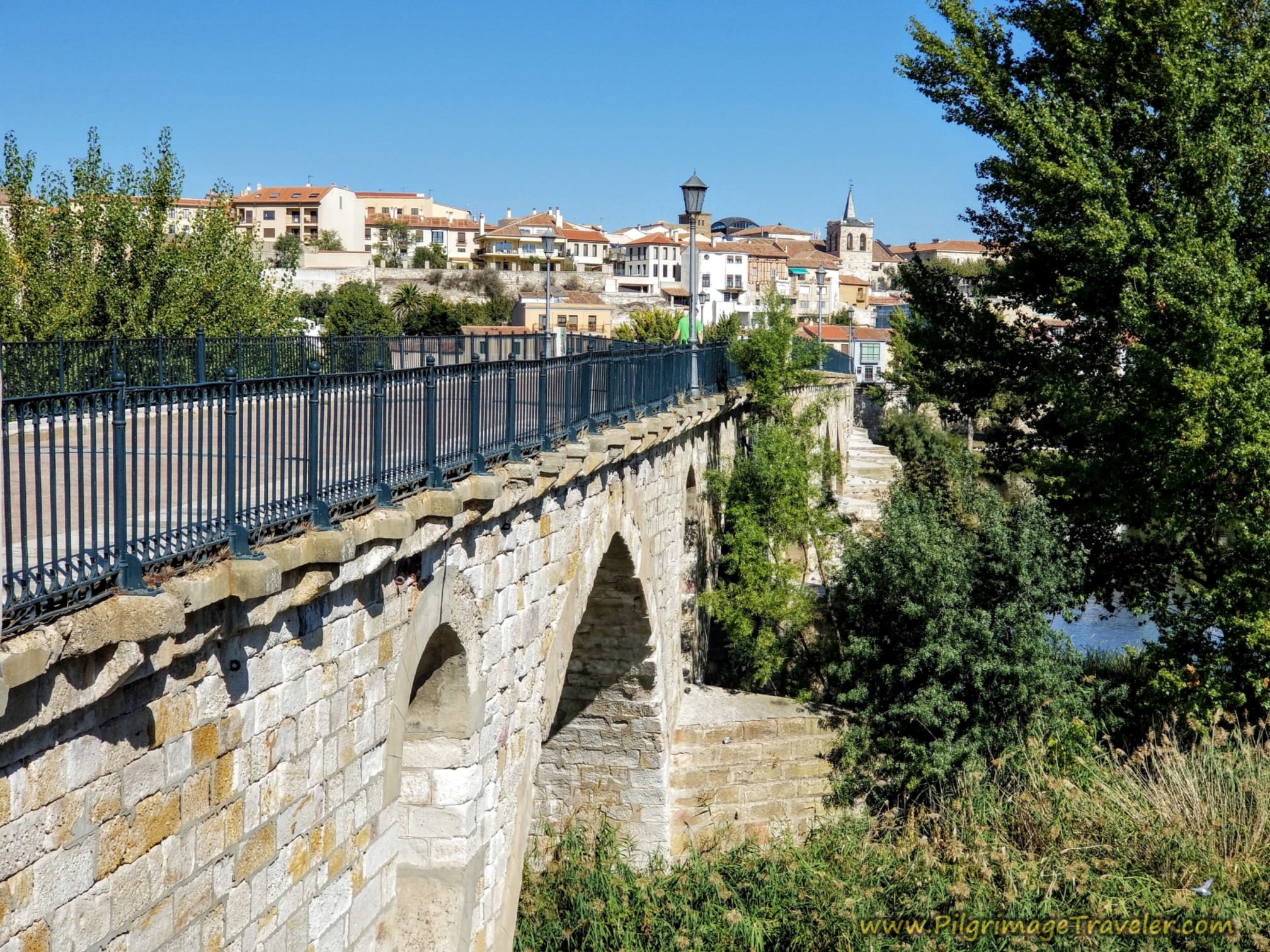
We crossed the historic bridge which is now for pedestrians only, see photo below, on the final steps of the Vía de la Plata from El Cubo de Tierra del Vino to Zamora.
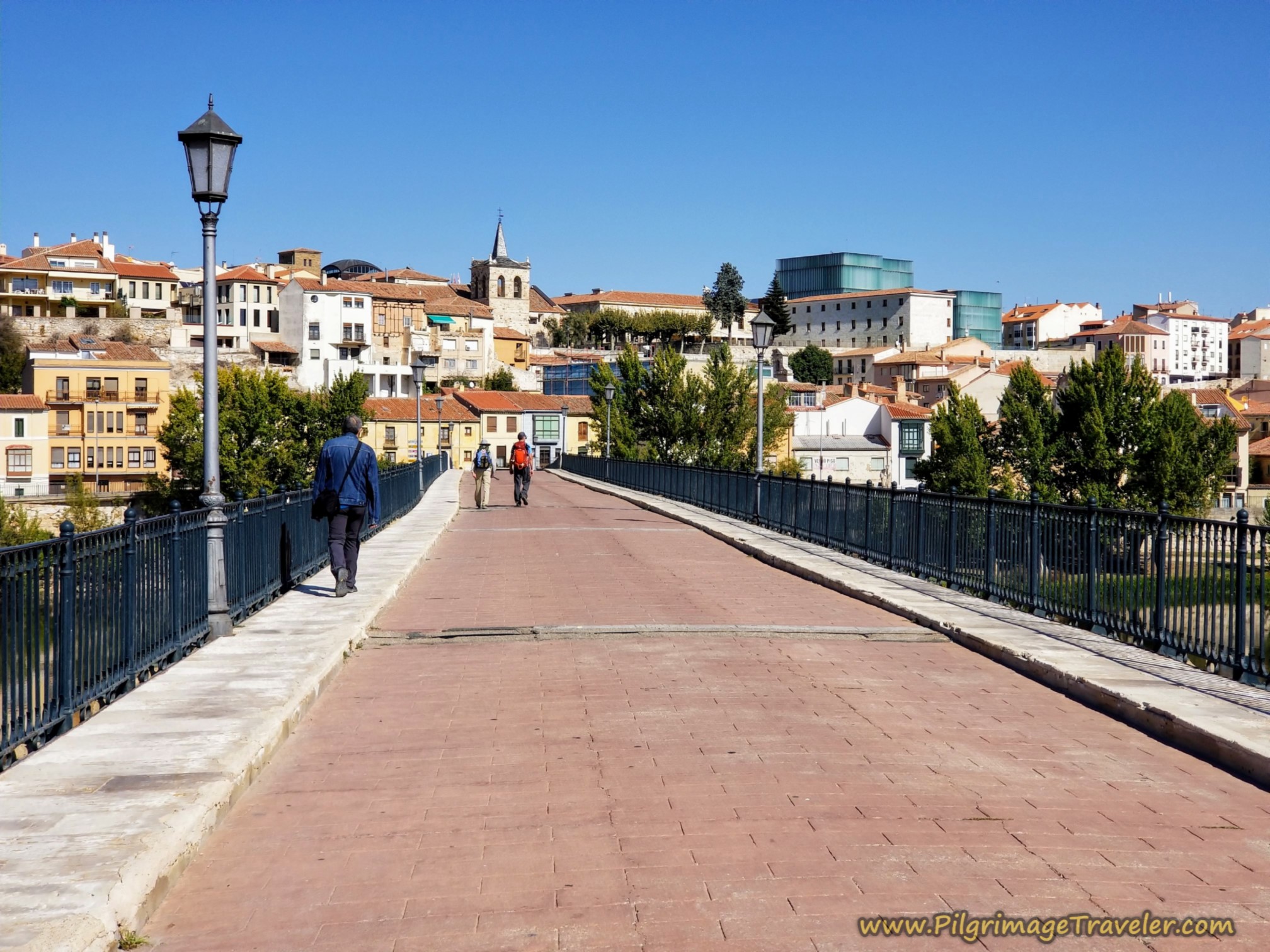
For me, the view of the city from the pedestrian bridge was the best of all!
After crossing the bridge, come to this well-signposted intersection, below, cross over the intersection and make an immediate right turn onto the Calle Puente, the "Bridge Street."
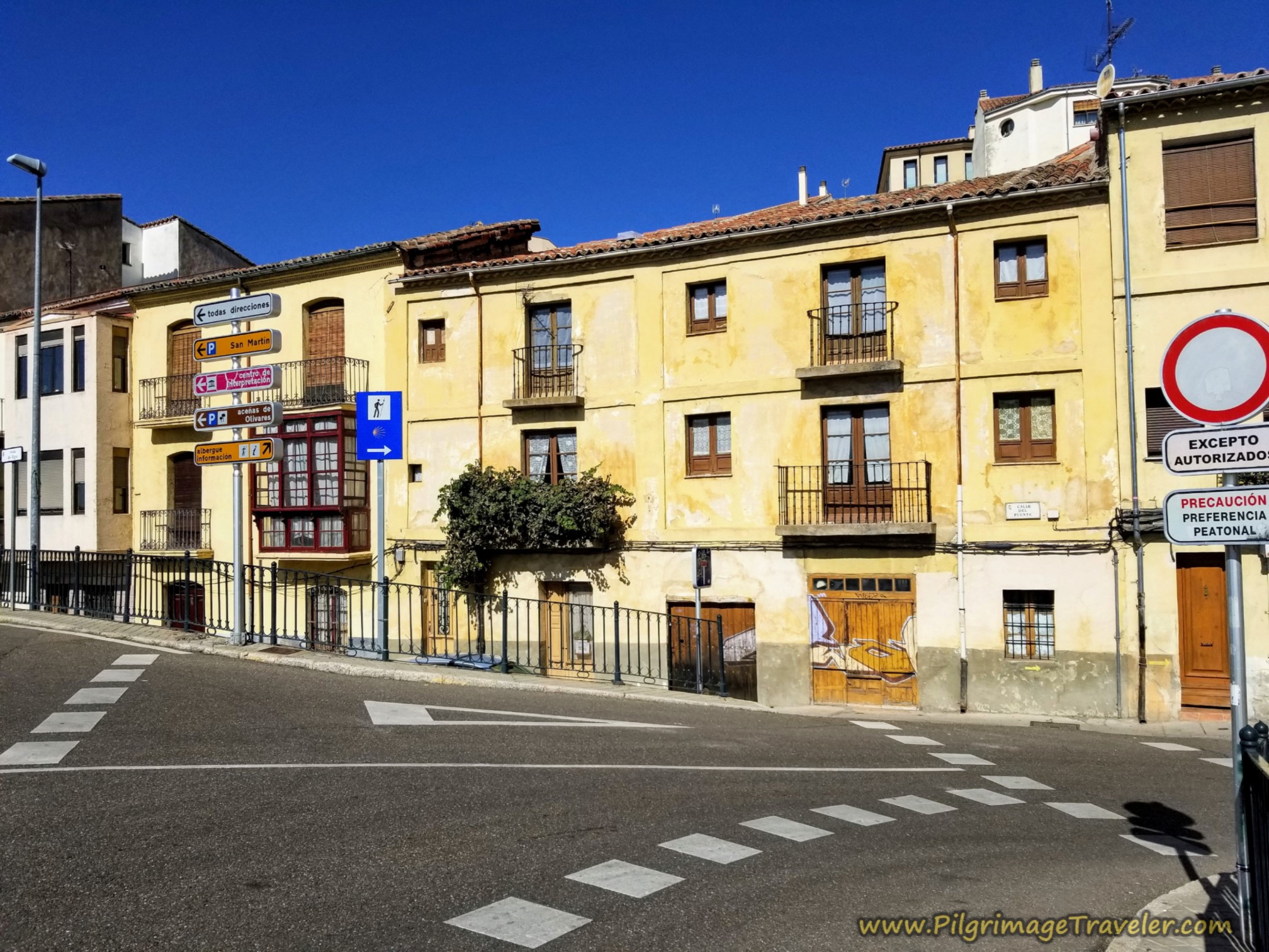 Cross Street Here After Bridge
Now it is time to finish your day with a short and steep walk up the hill on the other side. In less than 100 meters you come to the Plaza Santa Lucía and its church, pictured below.
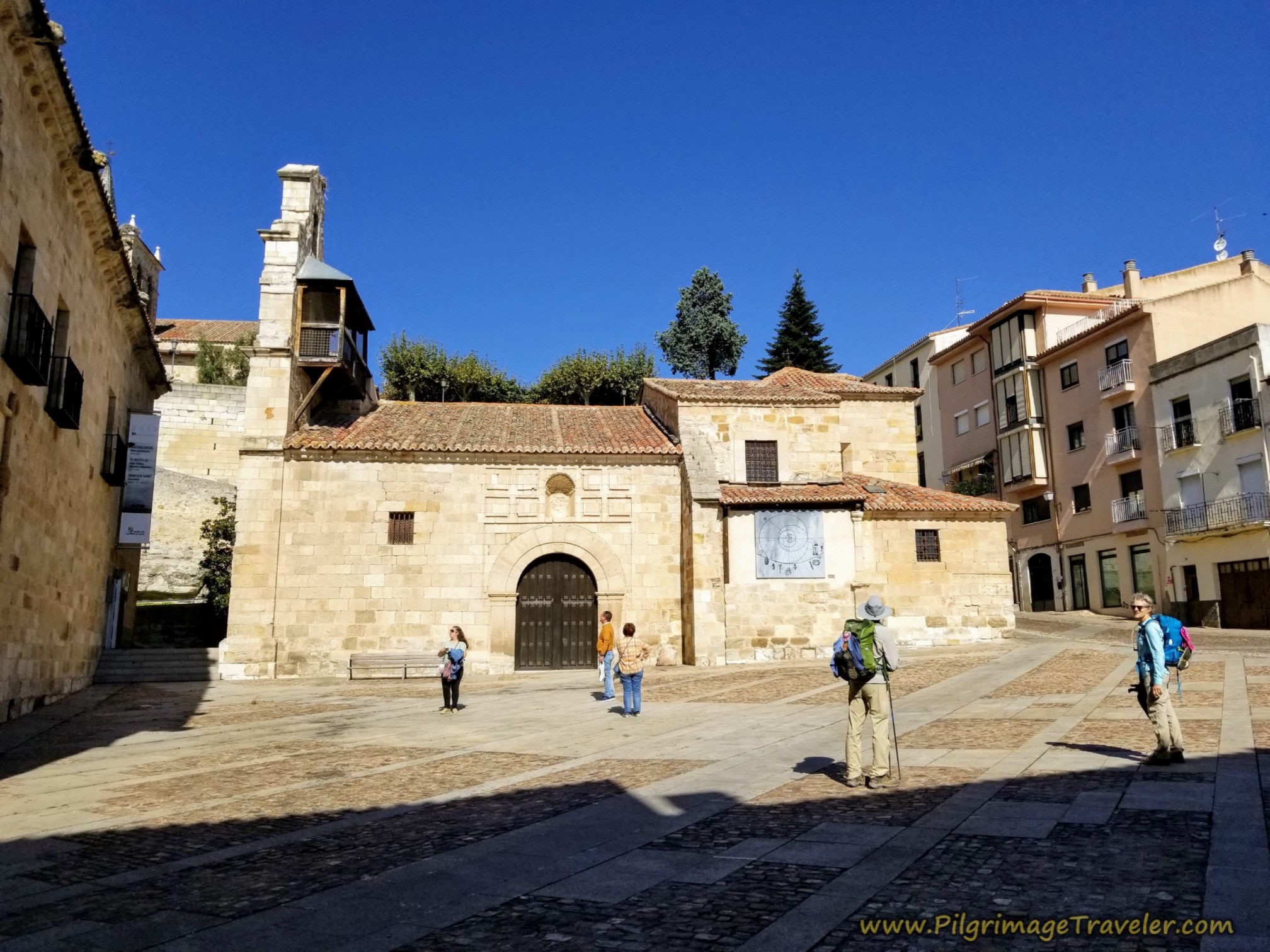
After admiring the plaza and perhaps catching your breath, keep heading up the hill and around to the right side of the same church, taking a left at the high wall shown below, and toward a small museum on the uphill side. The castle walls are before you as you can see in the photo.
This renovated wall is the support for the beautiful look-out above, the Mirador Del Ramos Carrión (see farther below).
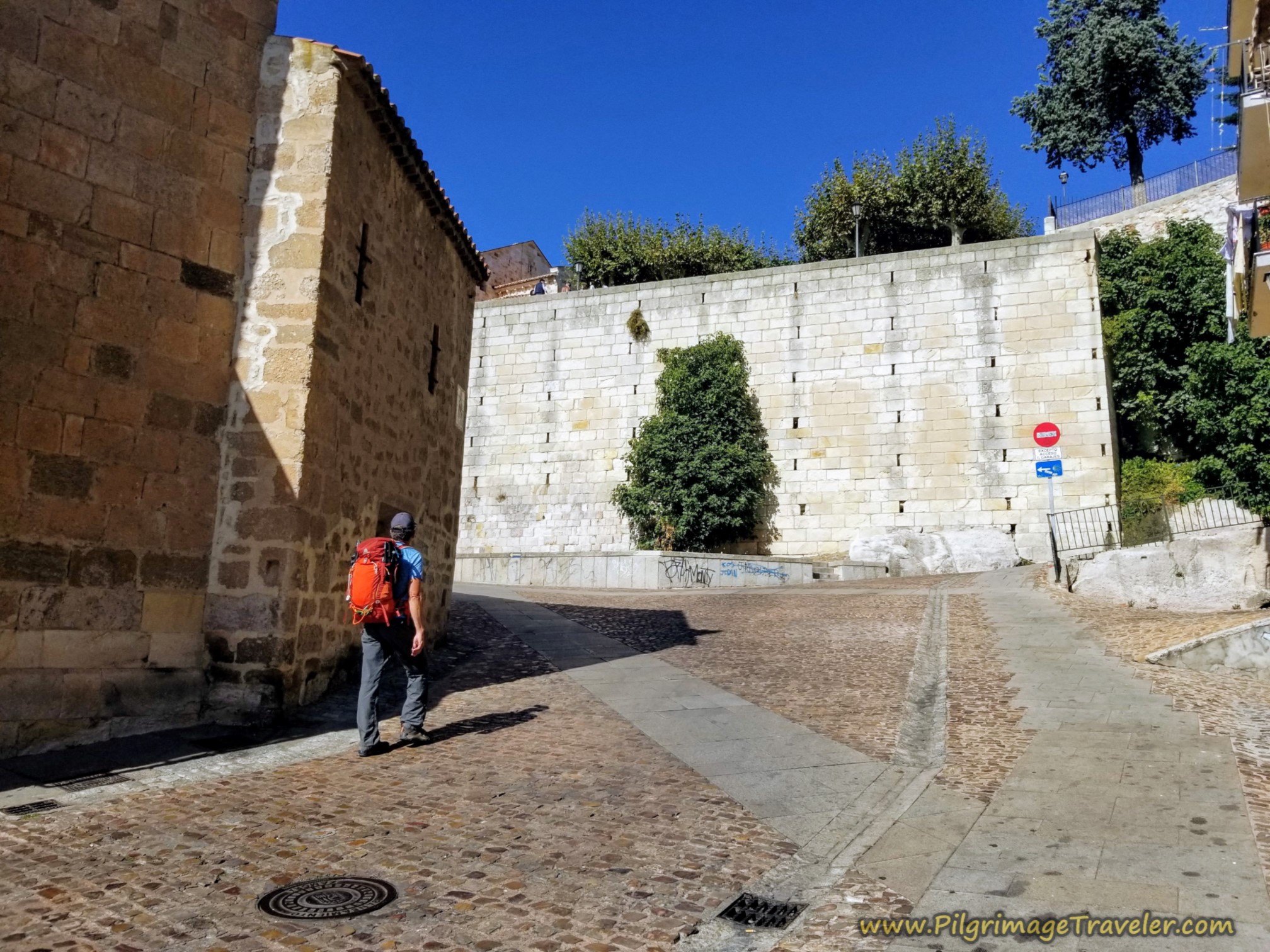 Climb Up the Hill by the Iglesia Santa Lucía
Keep climbing the hill on the Calle San Cipriano until you see a bright yellow building on your right, and the sign next to the door says "Albergue de Peregrinos." This is the albergue, but not the entrance.
Follow the signs onward, taking a right toward the church steeple ahead of you, the Iglesia de San Cipriano, below.
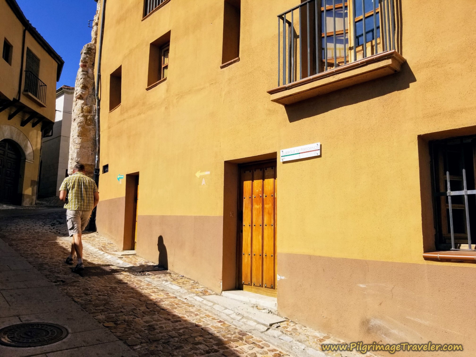 Albergue de Peregrinos Around the Corner on the Right
The Albergue de Peregrinos de Zamora entrance is shown below, seen on your right, immediately before the church building. Look for the white, Vía de la Plata pillar to the left of the door. This is where I turned off my GPS for the day.
It is posted that it opens at 3:00, but in our experience they opened before that.
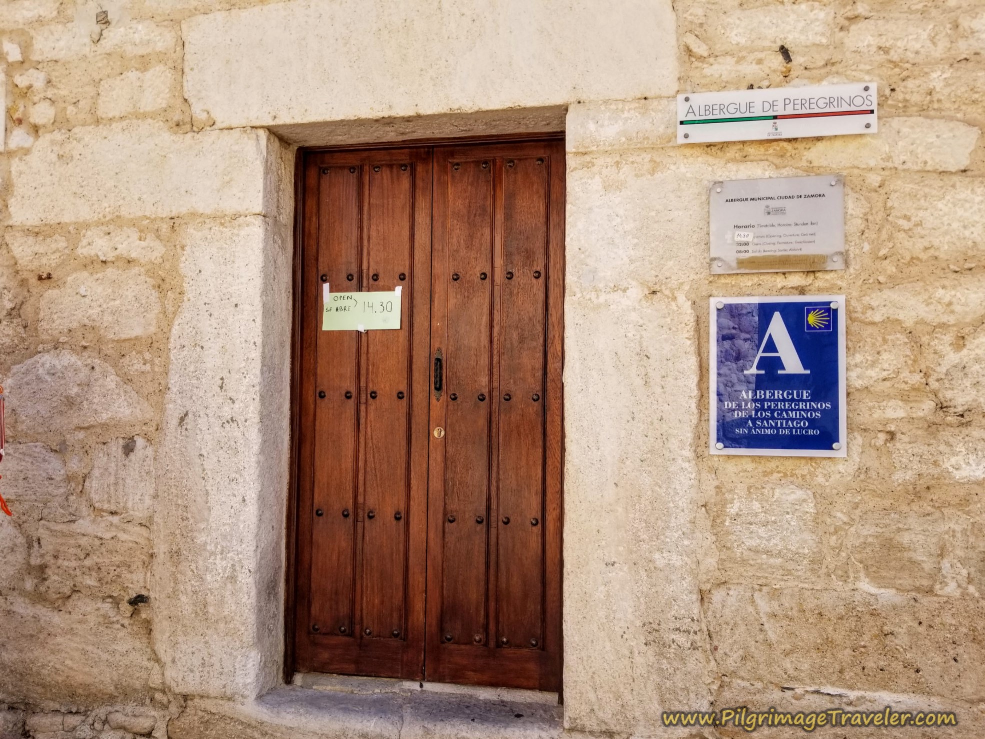
The albergue is in an amazing, historic building, built right into the wall of the city. It is a donativo, so please give generously to this fantastic, accommodating and well-equipped place.
It has at least 32 beds in various room configurations of 16, 8, 4 and 4. The hospitaleros state they can open even more rooms if needed. They supply real sheets, soap in the bathrooms and for clothes washing. There is a lovely, well-stocked kitchen in the basement, with a community breakfast available in the adjacent dining room, also for a donation.
By the church next door to the albergue, the Iglesia de San Cipriano, lies a passageway leading to a lookout, the Mirador Del Ramos Carrión shown below. It is a gorgeous place, looking out over the river, not visible in the photo, but to the left of the church, where you can sit and contemplate life and the meaning of your Camino.
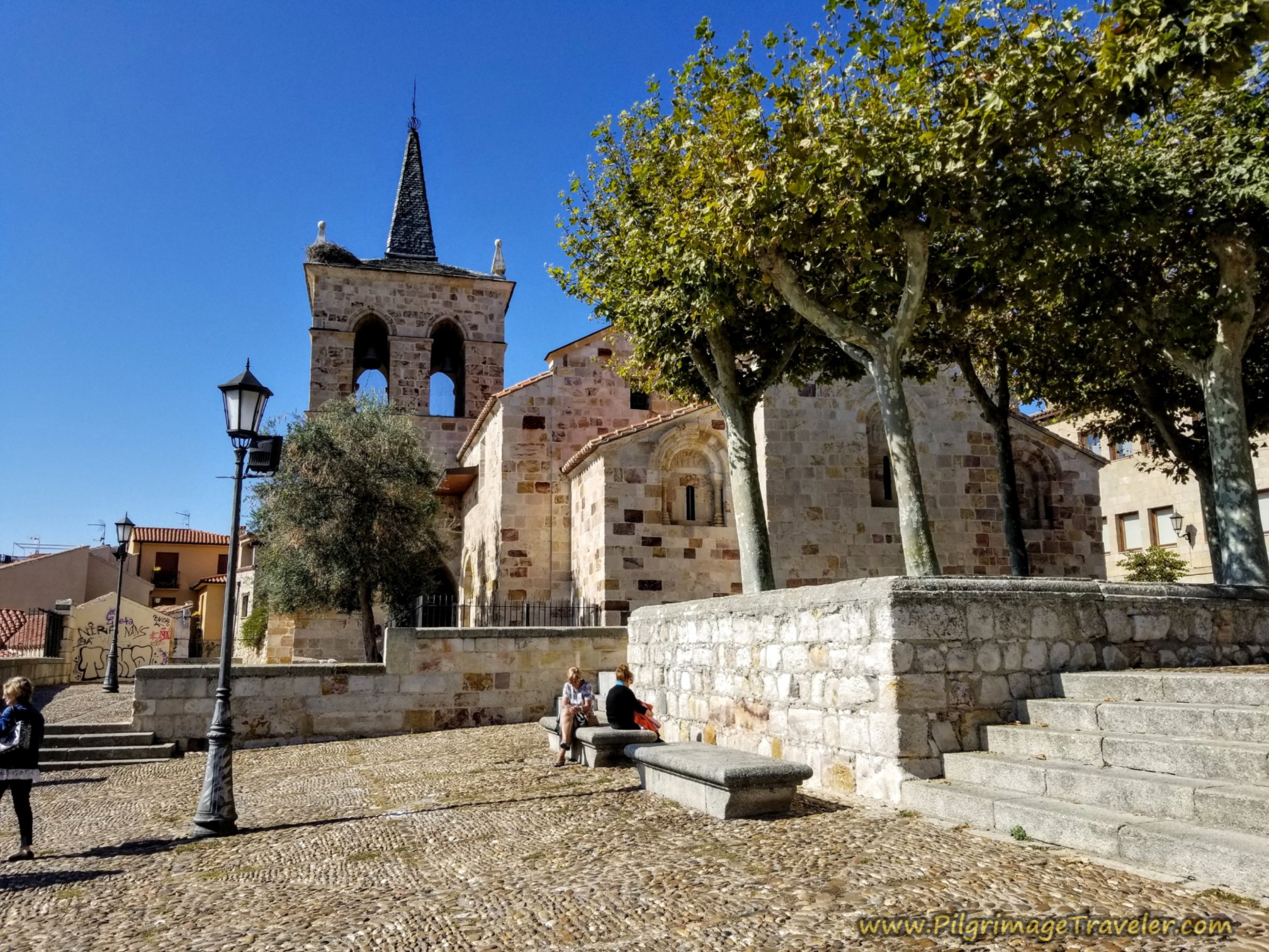
The albergue is centrally located between the Plaza Mayor to the east, and the historic attractions a short walk to the west. There are tiendas and cafés just down the street.
There are many, many places to stay in Zamora, as you might expect. Click the link for current deals on booking.com. Thank you for your support. There are not a lot of economical places to stay in Zamora, unless you are willing to stay on the outskirts of town and then there are plenty, especially beyond the historic wall to the north. A few of these are the Hostal Don Rodrigo, the Hostal Sol and the Hotel Doña Urraca. They are as economical as it gets in this town.
Near the center, not far from the albergue is the Hotel Hosteria Real Zamora, along the river to the west and and north of the cathedral is the Hostal La Reina, +34 623 40 79 68. You may want to try these as well.
I was surprised with the numbers of pilgrims that showed up at the albergue, when it felt like the Camino was most deserted. Perhaps they were beginning their Camino here?
After cleaning up and doing our laundry, we headed out to the main plaza for a bite to eat and a beer, in the afternoon.
The Plaza Mayor is lined with cafés as you might expect. The Iglesia de San Juan Bautista dominates the plaza, shown below.
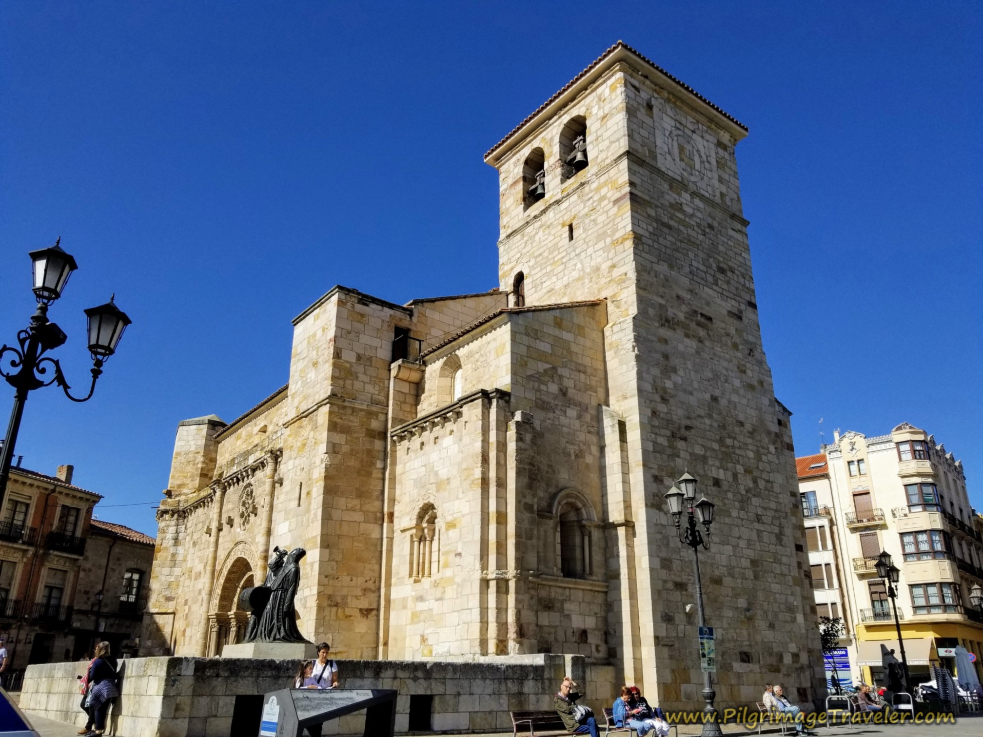
There is so very much to see in Zamora. Click on the link to see all the wonders it offers! The town deserves at least a day or more of exploration, if you have the time. We have always crammed too much into too short a time!
We cooked a meal together in the albergue and fell into bed early, completely exhausted.
Reflections of Day Three on the Vía de la Plata, El Cubo de Tierra del Vino to Zamora
I was definitely happy to have this day finished. As I alluded above, I was growing a bit weary of the group walking, only three days into the Camino Fonseca.
I wasn't sure how much of my attitude was also because I was growing weary of the monotonous landscape. My husband and I had completed an additional five days beforehand on the Camino Teresiano, across more of the high meseta. This would bring the count up to eight days.
I did long for mountains, cooler days and more interesting landmarks, that was for sure.
Whatever the reason, I was happy to seek some solitude on my walk on this day. My musings filled my head and allowed for precious little emptiness. Whether or not I experienced Presence, if only for brief moments, my desire was there and it was always waiting for me. And so it is.
Salutation
May your own day three on the Vía de la Plata from El Cubo de Tierra del Vino to Zamora be filled with listening to your own still, small voice, through seeking solitude and Presence on the lonely, high plateaus of central Spain. Ultreia!
Camino Fonseca Stages
~ Vía de la Plata Stages from Salamanca

~ Camino Sanabrés Stages
Please Consider Showing Your Support
Many readers contact me, Elle, to thank me for all the time and care that I have spent creating this informative website. If you have been truly blessed by my efforts, have not purchased an eBook, yet wish to contribute, I am exeedingly grateful. Thank you!
Search This Website:
The Pilgrimage Traveler Digital Guides
Our Guides Help You:
~ Know what to expect each day!
~ Locate historic sites along the Way!
~ Know where you are in your journey!
~ Discover a quote from the sages, for your daily reflection on the journey!
Click on a Photo Below to Get Your Copy.
A most popular alternative on the Central Route of the Camino Portugués!👇
The Portuguese Routes are rapidly gaining in popularity, especially the section from Lisbon! Plan to walk this one soon, before it is no longer a quiet experience!👇
Our most popular Portuguese guide! 👇
The most historic of the Portuguese Caminos ~ not to be missed!👇
The spiritual adventure of a lifetime, following in the footsteps of St. Teresa of Ávila!👇
The amazing mountain route alternative, the Camino Sanabrés, from Granja de Moreruela on the Vía de la Plata!👇
The most incredible mountain scenery on this camino from Leon to Oviedo!👇
The shortest of the caminos, but not easy!👇
The very first, Original Way from Oviedo to Santiago!👇
The pilgrimage to the "End of the World" ~ The perfect add-on to your camino!👇
All Banners, Amazon, Roamless and Booking.com links on this website are affiliate links. As an associate of these companies, the Pilgrimage Traveler website will earn from qualifying purchases when you click on these links. We have used and love all of our product recommendations and believe you will too! We sincerely thank you!

🙋♀️ Why Trust Us at the Pilgrimage Traveler?
We’re not a travel agency ~ we’re fellow pilgrims! (See About Us)
We've trekked Pilgrimage Routes Across Europe since 2014!
💬 We’ve:
- Gotten lost so you don’t have to. 😉
- Followed waymarks in the glowing sunlight, the pouring rain and by moonlight. ☀️🌧️🌙
- Slept in albergues, hostels & casa rurals. Ate and drank in cafés along the way. 🛌 😴
- Created comprehensive and downloadable GPS maps and eBook Guides, full of must-have information based on real pilgrimage travels. 🧭 🗺️
- Shared our complete journeys, step by step to help YOU plan your ultimate pilgrimage and walk with your own Heart and Soul. 💙✨
Every detail is from our own experiences. Just fellow pilgrims sharing the Way. We have added a touch of spirituality, heartfelt insights and practical guidance from the road ~ offering a genuine connection to the spirit of pilgrimage. Tap into the wisdom of seasoned pilgrims!
Ultreia and Safe Pilgrimage Travels, Caminante! 💫 💚 🤍
Follow Me on Pinterest:
Find the Pilgrimage Traveler on Facebook:

Shroud Yourself in Mystery, along the Via de Francesco!
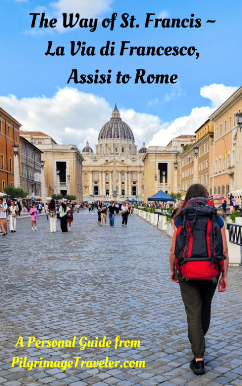
Walk in the Footsteps of St. Francis, and Connect Deeply with the Saint and to Nature in the Marvelous Italian Countryside!
Need suggestions on what to pack for your next pilgrimage? Click Here or on the photo below!


Carbon Trekking Poles ~ My Favorites!
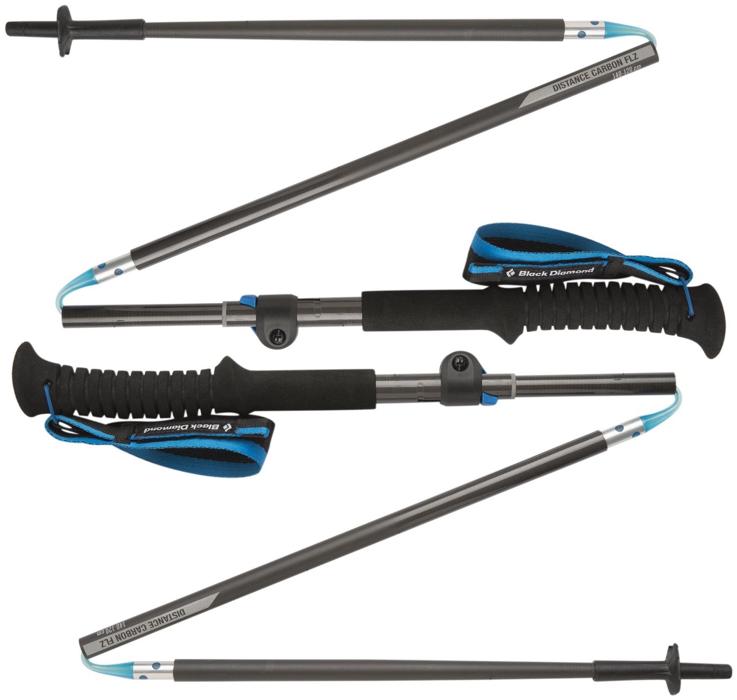
Carbon fiber construction (not aluminum) in a trekking pole makes them ultra lightweight. We like the Z-Pole style from Black Diamond so we can hide our poles in our pack from potential thieves before getting to our albergue! There are many to choose from! (See more of our gear recommendations! )
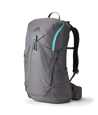
Gregory BackPack ~ My Favorite Brand
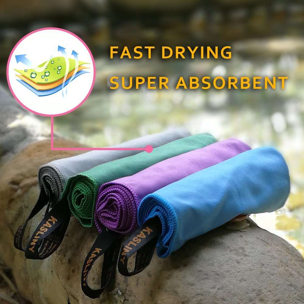
Do not forget your quick-dry microfiber towel!