- ~ Home
- ~ Camino Sanabrés (The Sanabrés Way)
- Puebla de Sanabria to Lubian, via Alternative Routes, Day Six
This page is under revision and some of the travelogue information is out of sync, and make not make logistic sense. I apologize for any inconvenience! Please check back in a few days and all will be well! You CAN rely on the opening description and the maps for accurate information!
Jump to Camino Sanabrés Stages
Camino Sanabrés, Puebla de Sanabria to Lubián via Alternative Routes from Requejo, Day Six, 29.1 Kilometers (18.1 Miles)
On day six of the Camino Sanabrés from Puebla de Sanabria to Lubián, after the village of Requejo, there are many choices on how to arrive at the Alto de Padornelo, the first high mountain pass on the Camino Sanabrés.
This article will only cover the alternatives for the day's route. For the description of the official Requejo river route, click this link.
The first alternative is what I have named the Red/Orange Alternative according to my colored tracks on the map below, which begins at the AVE viaducts after 15.8 kilometers into the day and initially along the river route, and ends at the Alto de Padornelo.
The second alternative I will also cover is the N-525 Highway Route Alternative that is appropriate if you want the easier and more direct walk up the pass. The highway route is also an appropriate alternative if there have been recent heavy rains or snow melt blocking the stream crossings on the river route, or if it is actually raining heavily the day of your walk.
For the full day's route description before the alternatives, be sure to see the Puebla de Sanabria to Lubián via the River Route page.
🙋♀️ Why Trust Us at the Pilgrimage Traveler?
We’re not a travel agency ~ we’re fellow pilgrims! (See About Us)
We've trekked Pilgrimage Routes Across Europe since 2014!
💬 We’ve:
- Gotten lost so you don’t have to. 😉
- Followed waymarks in the glowing sunlight, the pouring rain and by moonlight. ☀️🌧️🌙
- Slept in albergues, hostels & casa rurals. Ate and drank in cafés along the way. 🛌 😴
- Created comprehensive and downloadable GPS maps and eBook Guides, full of must-have information based on real pilgrimage travels. 🧭 🗺️
- Shared our complete journeys, step by step to help YOU plan your ultimate pilgrimage and walk with your own Heart and Soul. 💙✨
Every detail is from our own experiences. Just fellow pilgrims sharing the Way. We have added a touch of spirituality, heartfelt insights and practical guidance from the road ~ offering a genuine connection to the spirit of pilgrimage. Tap into the wisdom of seasoned pilgrims!
Ultreia and Safe Pilgrimage Travels, Caminante! 💫 💚 🤍
Quote for Day Six on the Camino Sanabrés, Puebla de Sanabria to Lubián
"The best view comes after the hardest climb." ~ Anonymous
"Eyes full, heart fuller!" ~ Anonymous
The walk through the village of Requejo is not to be missed, even if you decide to walk the highway route. You can divert to the highway route at the cemetary west of town and still be entirely on the pavement until you re-join the N-525. The SC-ZA-5 connects the two routes by only a 1/4 kilometer walk.
Of the two alternatives, the red/orange route is by far the more scenic and can still be taken if it is raining. The lanes adjacent to the highway will be muddy, but you avoid the backsplash from the vehicles zooming by you!
And on a clear day, hands down, the better route will be on the red/orange route, because the views abound, especially just before reaching the Cruz de Peregrinos at the top of the Padornela Pass. On the highway route, walking through the tunnel will just not afford the same views!
The views are what make the route spectacular, and the red/orange alternative gives you the best of them, even better than the official Requejo river route!
Maps and Stats of Day Six on the Camino Sanabrés, Puebla de Sanabria to Lubián
Here is the Google interactive map from our GPS tracks for the day, for the full route, for your convenience. For the alternatives, zoom into the map after Requejo and look at the red and/or orange routes to see these alternatives!
There are no services for the 10 kilometers between Requejo and Padornelo, but you can see on the map there are services in the towns.
On the highway route, there is a tunnel at the top of the pass, that many pilgrims are frightened by, despite a small available sidewalk. I will describe the orange alternatives where you can bail before this highway tunnel, if you must choose the highway route. However, we didn’t find the tunnel all that frightening!
In fact, I am astonished how many pilgrims take the highway route intentionally, despite the weather, because even though it’s a bit longer, it is easier.
The day’s elevation change is significant for the first time on the Sanabrés. The highway route's elevation profile, shown below first, from the low to the high is a difference of 459 meters (1506 feet).
As you can see the first third of the day is relatively flat until the mild climb into Requejo at about 11 kilometers. That is the little hump you see on the profile.
Then it is a long, steep walk uphill for the second third of the day, until you reach the tunnel at the Alto de Padornelo at 1356 meters (4448 feet), followed by a steep downhill walk into Lubián, losing almost the entire day's gain.
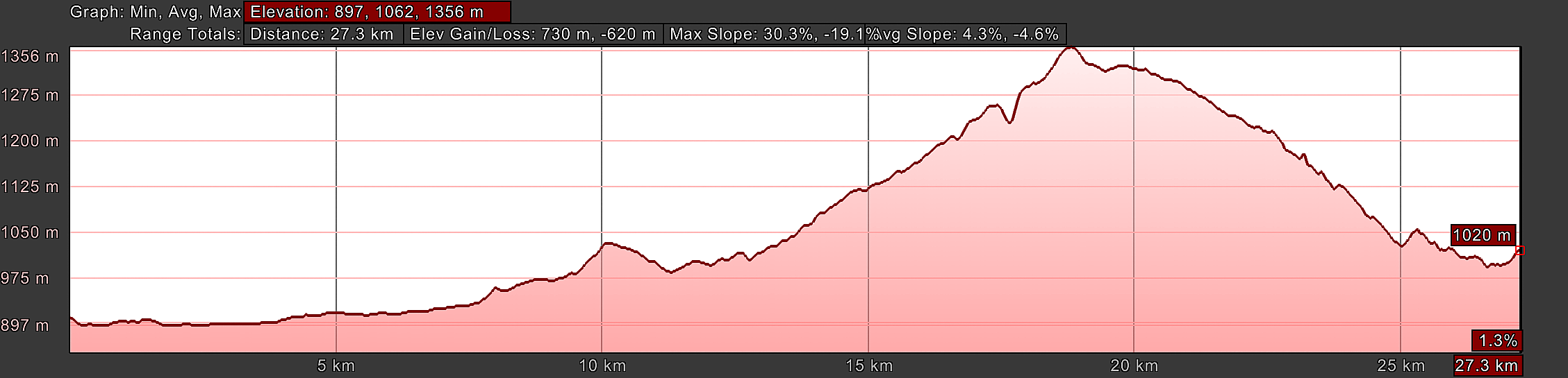
Here is the elevation profile for the popular and waymarked red/orange alternative route, linked from the blue river route with the red one-kilometer connector route. As you can see, there is almost no difference in the elevation gain, just an additional two kilometers to attain it, for a total of 29.1 kilometers (18.1 Miles). Therefore, this is the less steep of the two alternatives.
 Elevation Profile, Camino Sanabrés, Puebla de Sanabria to Lubián, Alternative Red/Orange Route
👣 Camino Sanabrés EBook:
Offline Guide with Bonus Route
~ Includes 4-5 additional days on the Vía de la Plata from Salamanca!
Walk smarter with our ad-free, beautifully formatted Camino Sanabrés eBook Guide, perfect for offline use ~ important in the mountainous and remote areas. Includes daily stage details, stunning photos, historical background and a BONUS digital guide on the Vía de la Plata from Salamanca, called the Camino Fonseca. This allows you the opportunity to add 4-5 more days to your Camino in the beginning.
Don't carry a hard copy guide book to increase your pack weight. Use our frequently updated digital guide on your next Camino instead!
📲 Instant download. 💸 Money-back guarantee. 🔄 Free updates for 1 year.
👉 Click here for more info or BUY NOW!
Jump to Camino Sanabrés Stages
Photo-Rich Travelogue for Day Six on the Camino Sanabrés, Requejo to Lubián
All the routes arrive at the intersection of the N-525, after about 11.4 kilometers, across from the Ermita Virgen de Guadalupe, shown below. There is a fountain at this intersection as well with non-potable water.
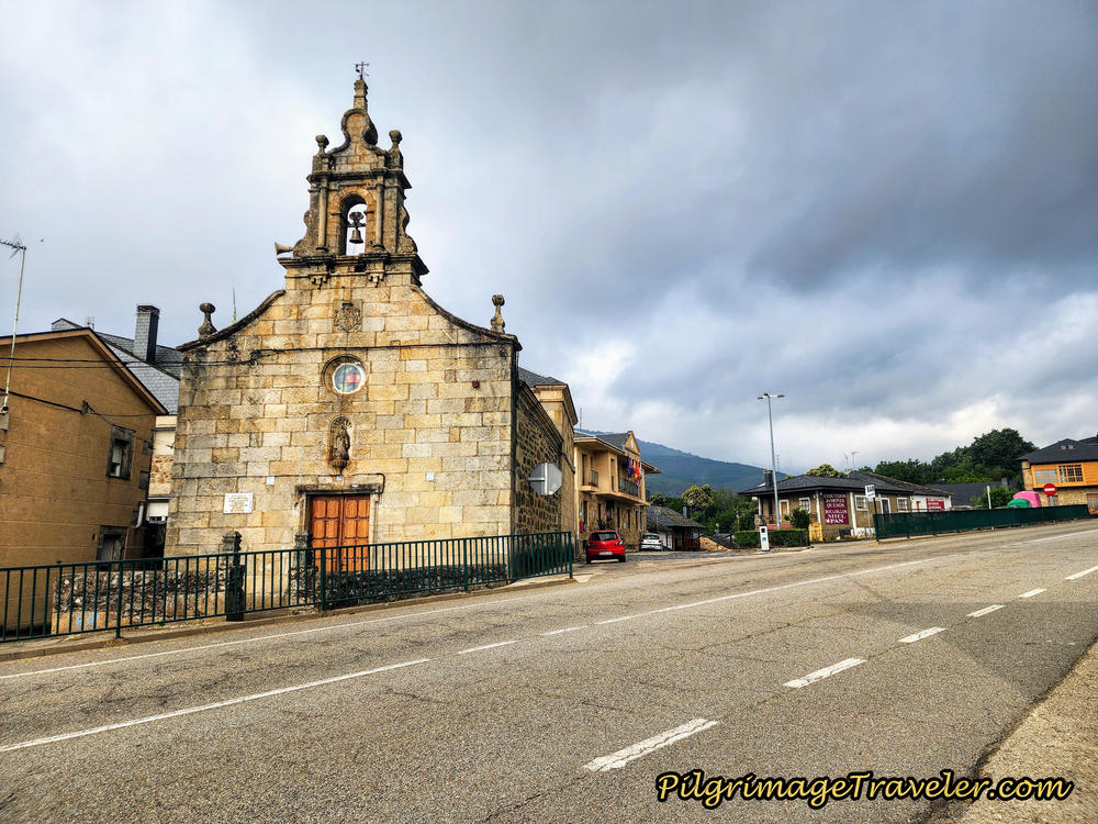
You can see the Bar Tejedelo and the town hall with its flags flying, just beyond the hermitage. This is where I suggest you stop and get a report of the trail conditions, before making your choice of routes ahead and ensure the river route, described below is open and safe.
National Highway Route ~ Our Rainy Day Walk
For some reason, on our first time through Requejo, our group decided not to stop at the Bar Tejedelo even though it was almost halfway into the day's walk. Miguel, from Spain, had brought new energy into all of us, I suppose, being at least 20 or more years younger, as he led the march. Plus, the weather wasn't particularly horrible, so before it got even worse, we wanted to press onward and upward over the high mountains!
From the hermitage in Requejo, turn right and head west to walk along the N-525 and and a few steps later, walk through the traffic circle.
The municipal Albergue de Peregrinos de Requejo is at the next intersection on the right, up a few meters from the highway. This is a 20-bed albergue, with no kitchen and no heat.
As you walk through town, there are several more bar/restaurant/hotel combinations that you will pass right along the highway, one after another.
First is the very economical Hotel Maite, (+34 980 62 25 09) which also has a bar. Next is the private Albergue Casa Cerviño (+34 686 02 42 13) if you prefer more creature comforts in an albergue, including a washer and dryer and a full kitchen. Next is the Hostal Restaurante Mar Rojo (+34-980 62 24 46).
Farther along, when you arrive at the outskirts of town you will pass by the Hostal Tu Casa and Restaurant (+34 980 62 24 68). This place is your last chance for services until Padornelo. The restaurant has a very economical pilgrim's menu that gets excellent ratings on Google!
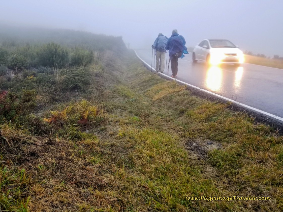
Here is how the mountain road looked as we set off after Requejo on the N-525 for the climb, below. As you can see, we were forced to walk on the shoulder as the trucks zoomed by with their backsplash. Not ideal!
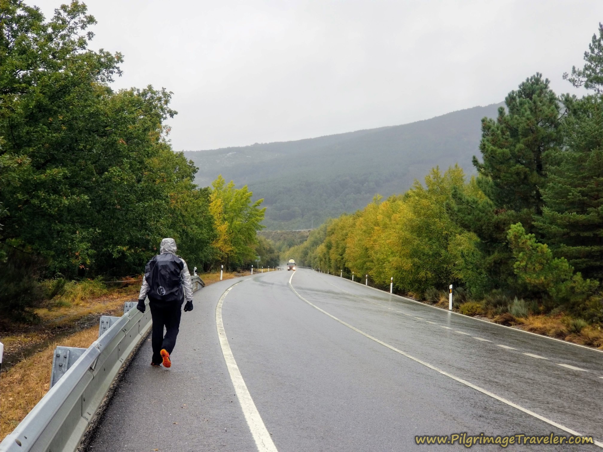 Miguel Walking Along the Rainy N-525
After about 4.3 kilometers of dreary highway walking and climbing steadily, we encountered this big blue sign, pictured next, soon after the highway kilometer marker 98. This is where the orange alternative route leaves the highway and goes to the left, which you can see on the map above.
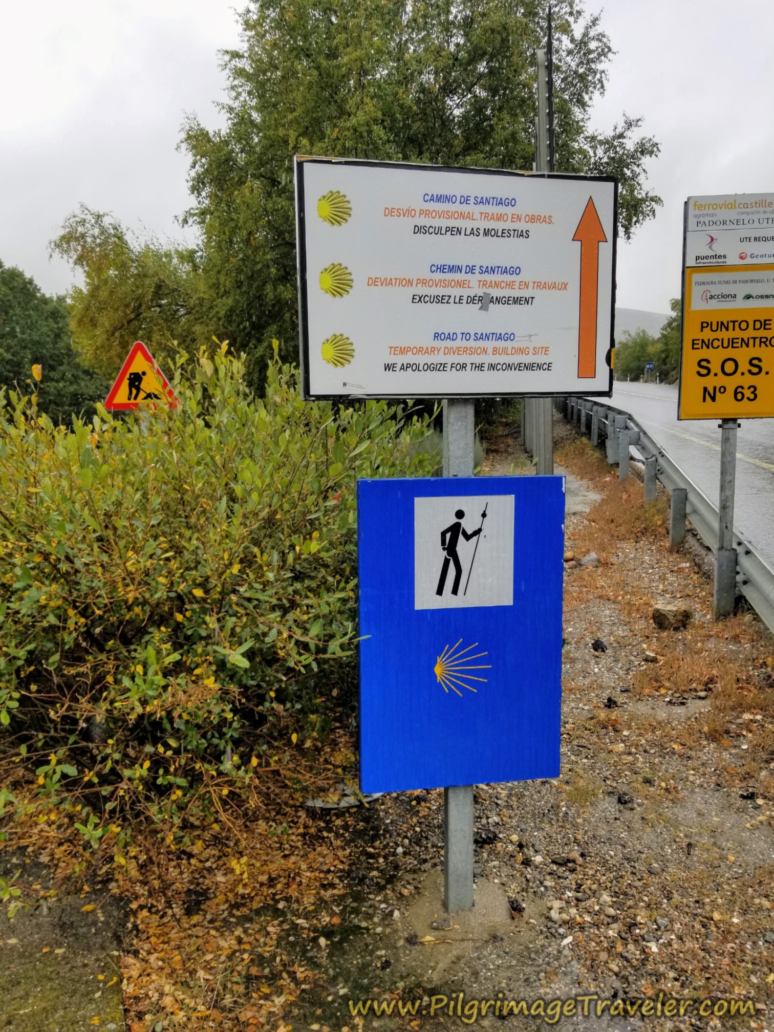
This is what I would suggest for the most scenic route and if you want to avoid the highway and the tunnel from here. The lanes on the orange route can get sloppy with lots of rain, so you can bail from the highway later, too if your only goal is to avoid the tunnel.
The above detour sign was in three languages, and it clearly indicated that we were required to stay straight on the N-525. You can safely ignore this sign if it is still there! I highly doubt it is, but I did not walk the highway for this update so I don’t know for sure. (If you walk this way and have the time and energy to update us all regarding this sign, please contact us! We thank you!)
If you choose to take this orange alternative to the highway, you will be walking on mostly dirt lanes for the next 4.5 kilometers (just not for the first 1/2 mile after you leave the highway). This orange alternative is only 1.25 kilometers more than the highway route and is more scenic. Scroll to the next section to see its description!
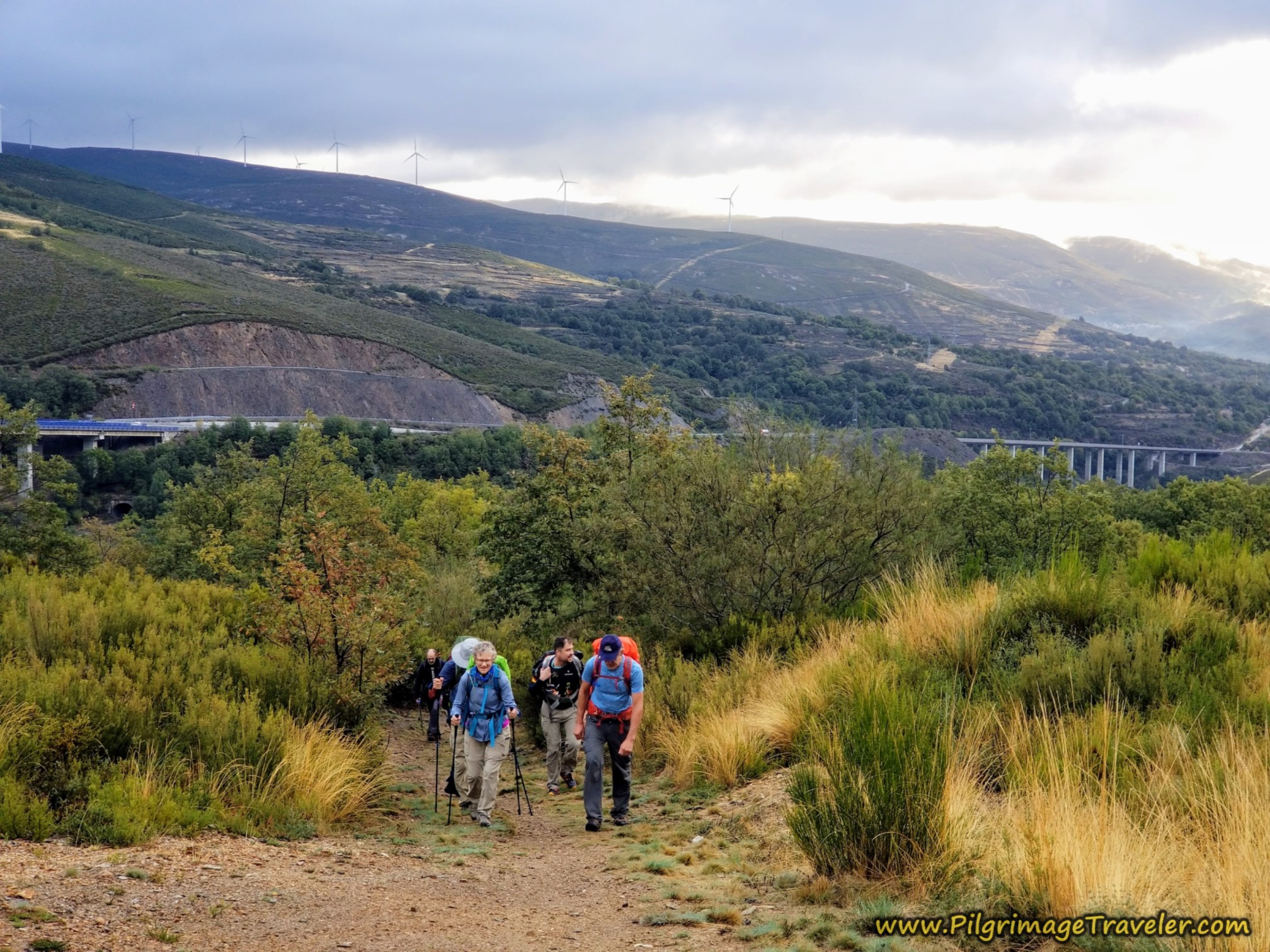
As we walked along the N-525 there were convergence points along the way where we could clearly see the dirt lane that the orange route follows, just below us and to the left. (See the orange route below for more info.) There are several places you could easily jump onto it if you changed your mind. It is a trade-off for off-highway walking versus adding another 1.25 kilometers to make an almost 30 kilometer day.
However, Miguel and I, who had both studied the route, knew that the orange route on the lanes takes a big loop. We could actually see ahead and how the Camino went up and over on the wide loop on the way to the top.
Because it was now raining so hard we chose to continue on the N-525. For me, this was not an easy decision, but I agreed with the group consensus. Not only was the highway shorter but the lanes would have been full of mud puddles to slosh through. So we trudged onward, staying on the N-525, left. Sometimes a pilgrim must take the way that makes the most sense, I guess.
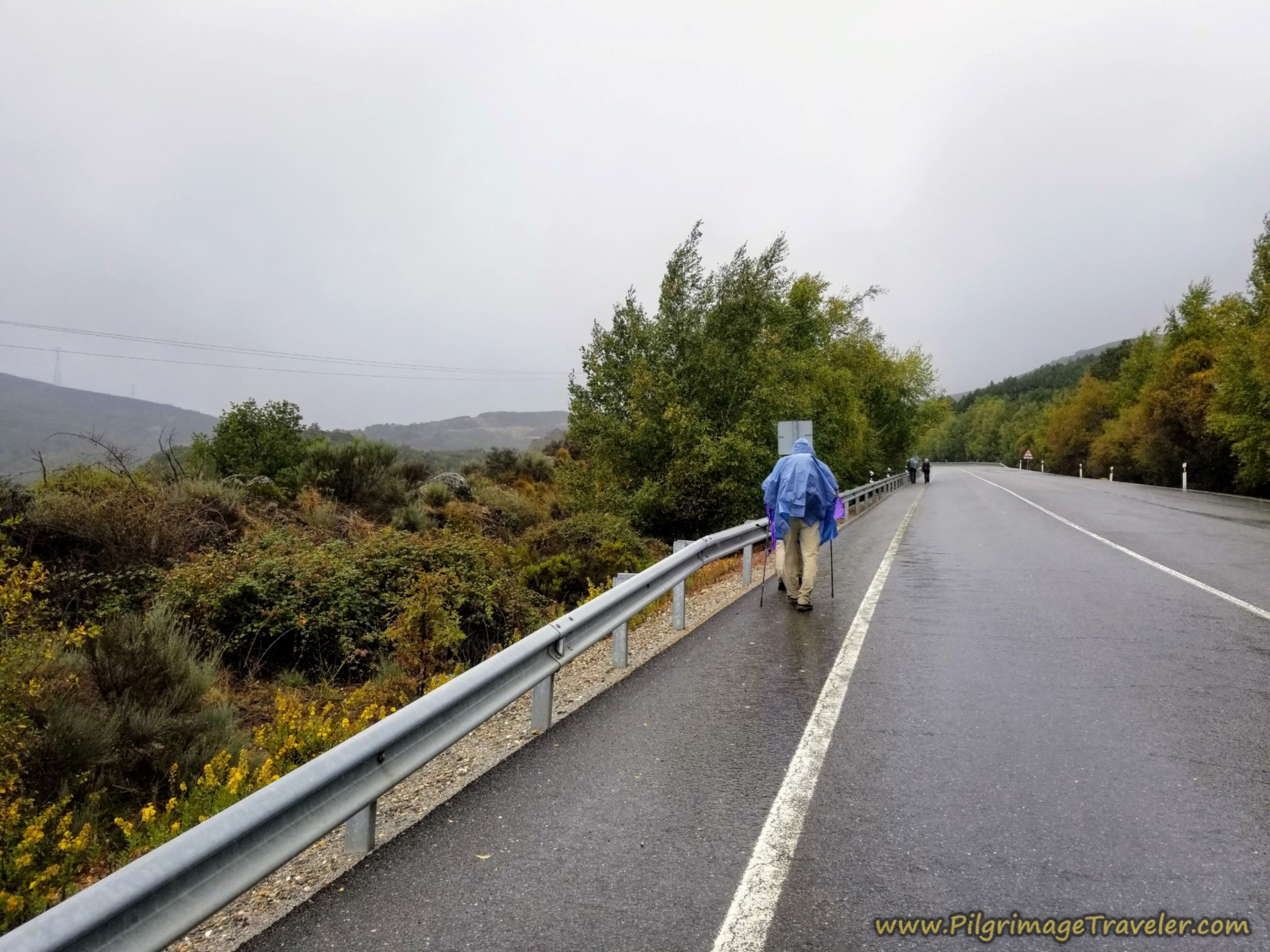 Pushing Upward in the Rain toward the Alto de Padornelo
If I had been alone, most likely I would have taken the more scenic route, even in the rain. There was no reason to push my personal agenda. I did hear from a fellow pilgrim, later that day, that this part of the route was a sloppy mess! We had made the right choice.
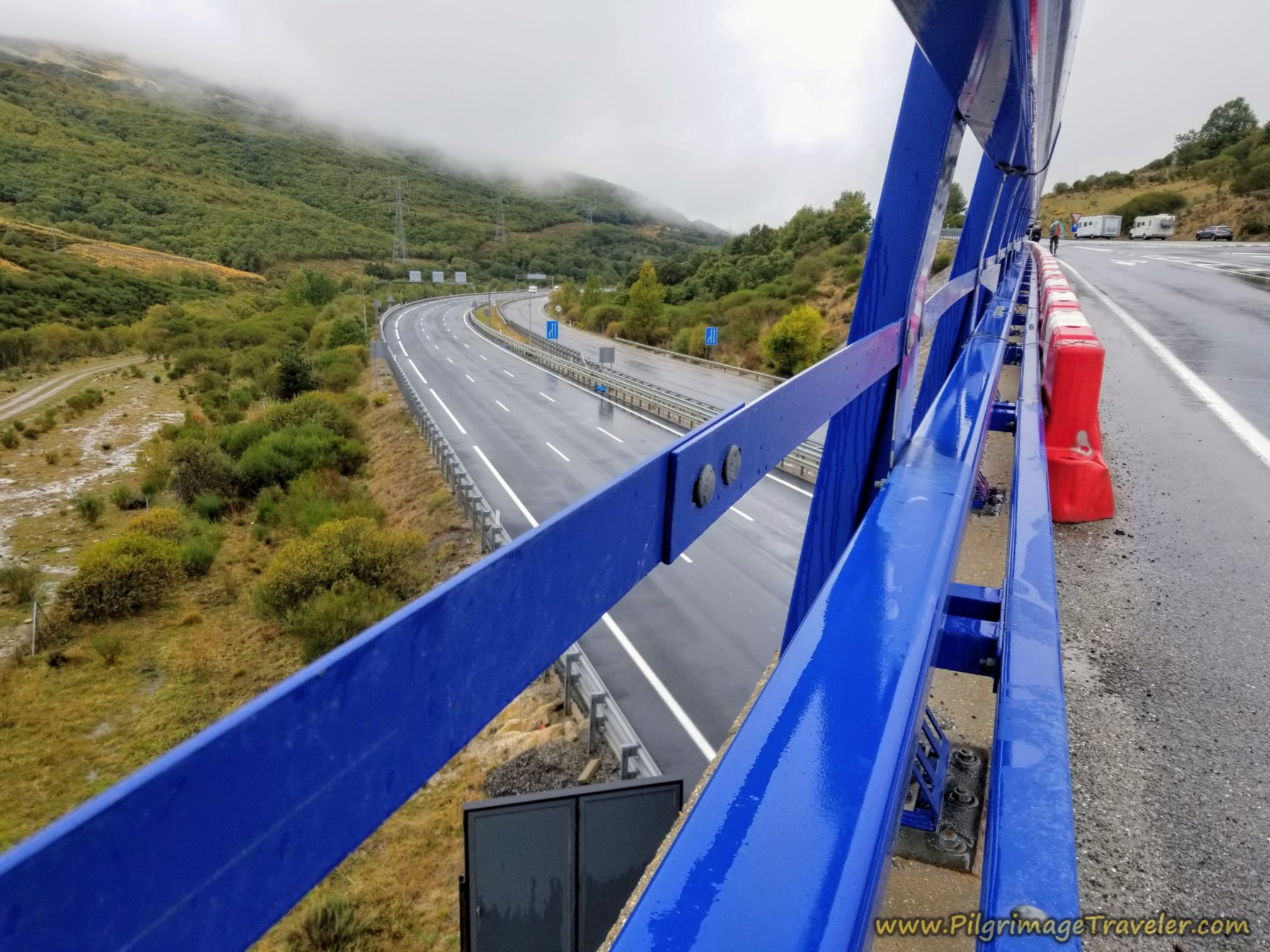
When the viaduct of the N-525, called the Viaducto de los Tornos (delineated by the blue railings), comes together with the A-52 motorway above it, on a parallel path, you come to your final opportunity to join the Camino orange route and avoid the Padornelo tunnel.
There is now a dirt lane, off to your right that takes you to the looping orange route. On the N-525, this turn is just before highway kilometer marker 100, and just before the beginning of the viaduct, after about 6.1 kilometers from Requejo when we passed by it.
Once again, because it was raining so hard we chose to continue on the N-525. We could have turned right here and onto the dirt road to join the orange route, and get off the highway.
Here in the photo below, is a look back at the two highways, paralleling one another. Both viaducts are engineering feats onto themselves!
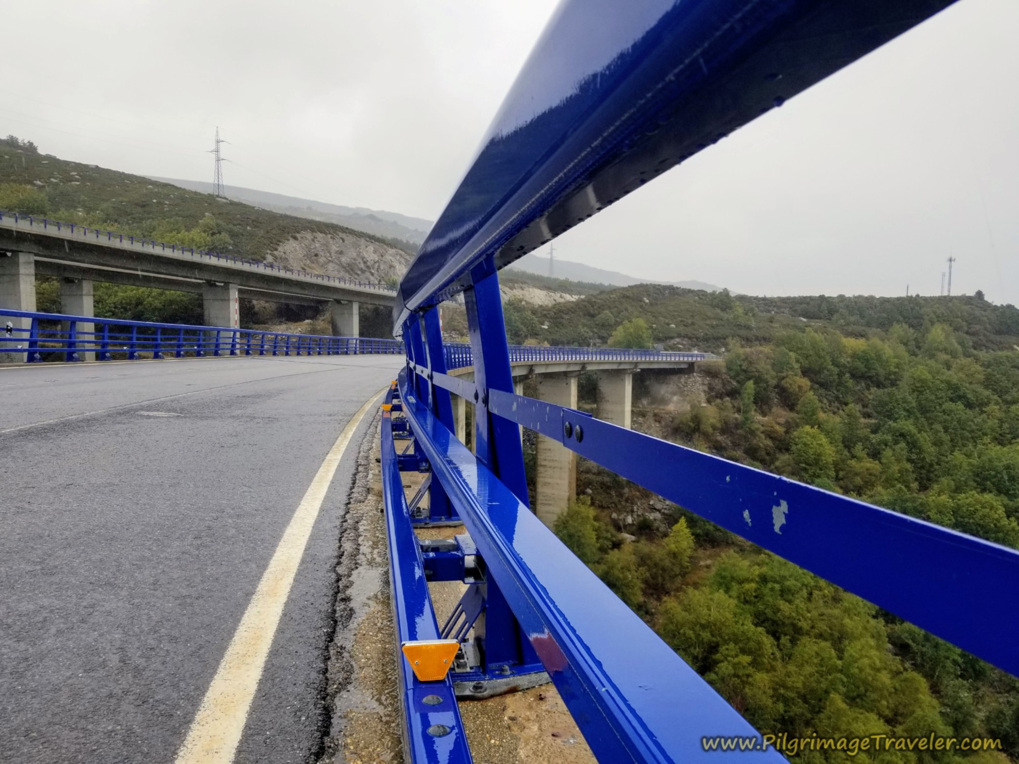
From the beginning of the viaduct it is about 1.2 kilometers more to the infamous tunnel at the top of the Alto de Padornelo.
If you are afraid of tunnels, as a lot of folks are, please make sure you turn right just before highway kilometer 100 marker and just before the viaduct. It is your last chance to avoid walking through the tunnel.
I did not find the experience of walking through the tunnel as all that bad. There is a nice sidewalk inside the tunnel to keep you safe, however, it is a bit scary when the big trucks roar by you, rather closely. Scroll down just a bit to see a photo of the inside of this tunnel, to help you make your choice.
Here is a photo of the remaining slog up to the tunnel.
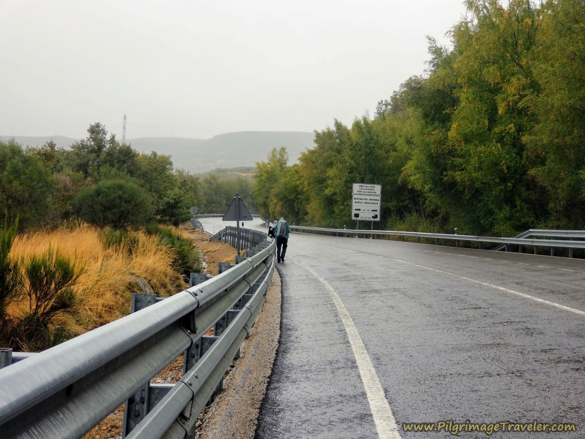 Steady Rain Continues on the Climb
It was lovely to finally see the tunnel and the top after about 19.5 kilometers into our day on the Camino Sanabrés from Puebla de Sanabria to Lubián.
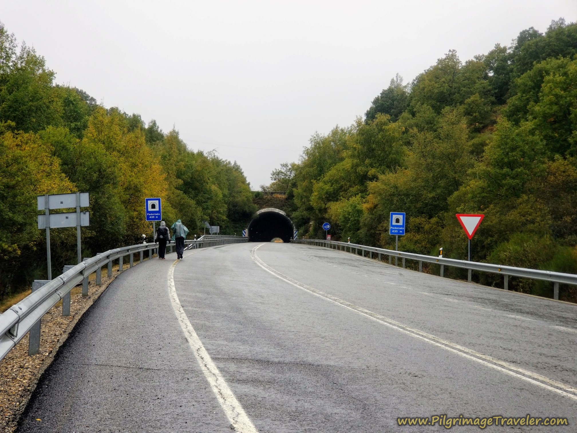
The tunnel is 435 meters long, and was a nice reprieve from the rain, despite it being very windy inside. The guys were hooting as their voices echoed through the tunnel.
This is the Alto de Padornelo at 1356 meters, (4448 feet). The actual high point is above the tunnel, on the road where the blue and orange routes converge, several meters higher.
When you are through the Túnel de Padornelo, the routes that walked up and over the top of the tunnel, now join the N-525 from the left, and continue the descent along the roadway, shown below.
Jump to Camino Sanabrés Stages
The Red/Orange Linked Alternative Route
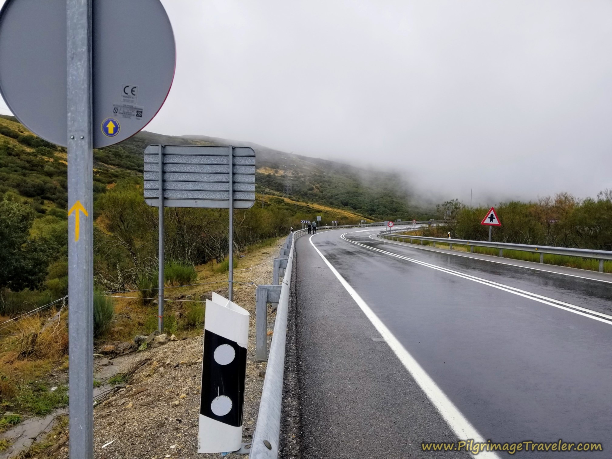 Join Official Route Along the N-525 for the Descent
On the other side of the pass, the weather lightened up a bit, finally. You continue on the N-525 on the way to the next town of Padornelo. The Camino is well signposted, through here.
After about 20.2 kilometers, you come to the overpass of the N-525 where it intersects the motorway, the A-52 again. Just before the overpass, you see the N-525 kilometer marker 102.
Jump to Camino Sanabrés Stages
Reflections on Day Six of the Camino Sanabrés, via the Alternatives from Puebla de Sanabria to Lubián
It always takes a certain amount of fortitude to walk all day in the rain, and we felt the necessary commitment on this day. The Camino newbies met the challenge, without complaining, on their first full day of rain.
Autumn rain can be beautiful indeed and despite our discomfort, I at least enjoyed most of the day. My only sorrows were the mild discomforts I experienced. Fortunately, I carried no personal sorrows other than my concern for my friend and her ongoing limp.
We made a new Spanish friend, who willingly became our guide and ambassador. His energy brought a new dynamic to our walk. It felt like a good thing, adding yet another dimension to our group.
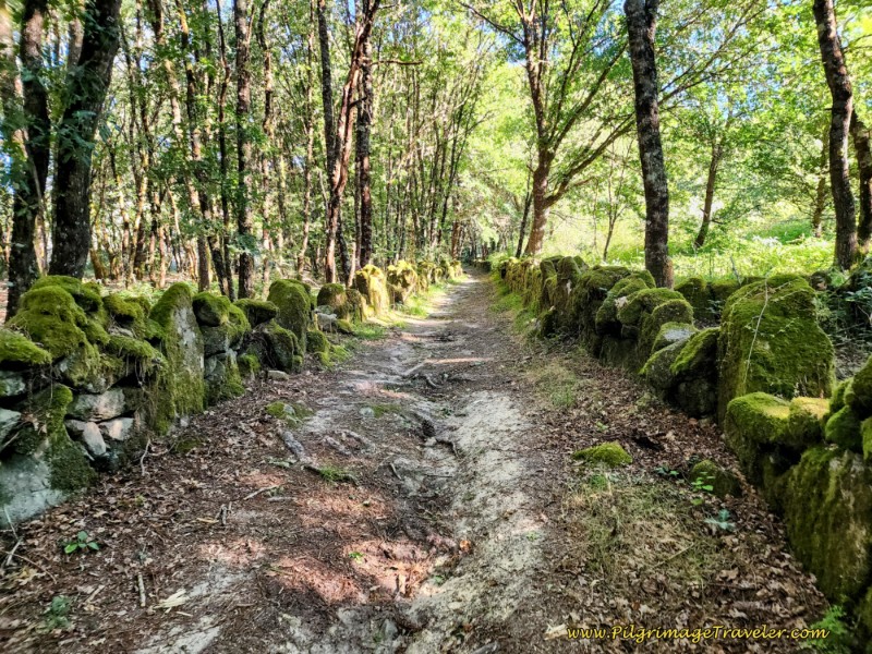
June Addendum: The river route was indeed to be one of my favorite days on any pilgrimage. The music of the murmuring river accompanying our footsteps through the lush, quiet forest and the historic road with moss-covered rock walls, was such a dramatic improvement to the rainy day highway route!
Also having done the alternative route closer to the highway, with its dramatic views on more gently climbing lanes, I can say this too was a viable and lovely choice if the section of steep mountain trail feels intimidating.
And finally, Lubián is a very charming town, one of the best to end a Camino day! Look for photos of it on our walk out on day seven, the next morning.
I was so happy to replace this very rainy day in my memory banks to one of complete Camino pleasure! But as pilgrims, we take what comes, don’t we? There will always be rain, and pilgrims do as pilgrims must.
Salutation
May your own day on the Camino Sanabrés from Puebla de Sanabria to Lubián have fair weather, and if it does not, may your sorrows walk the sodden lanes and yet continue to see the beauty that is there!
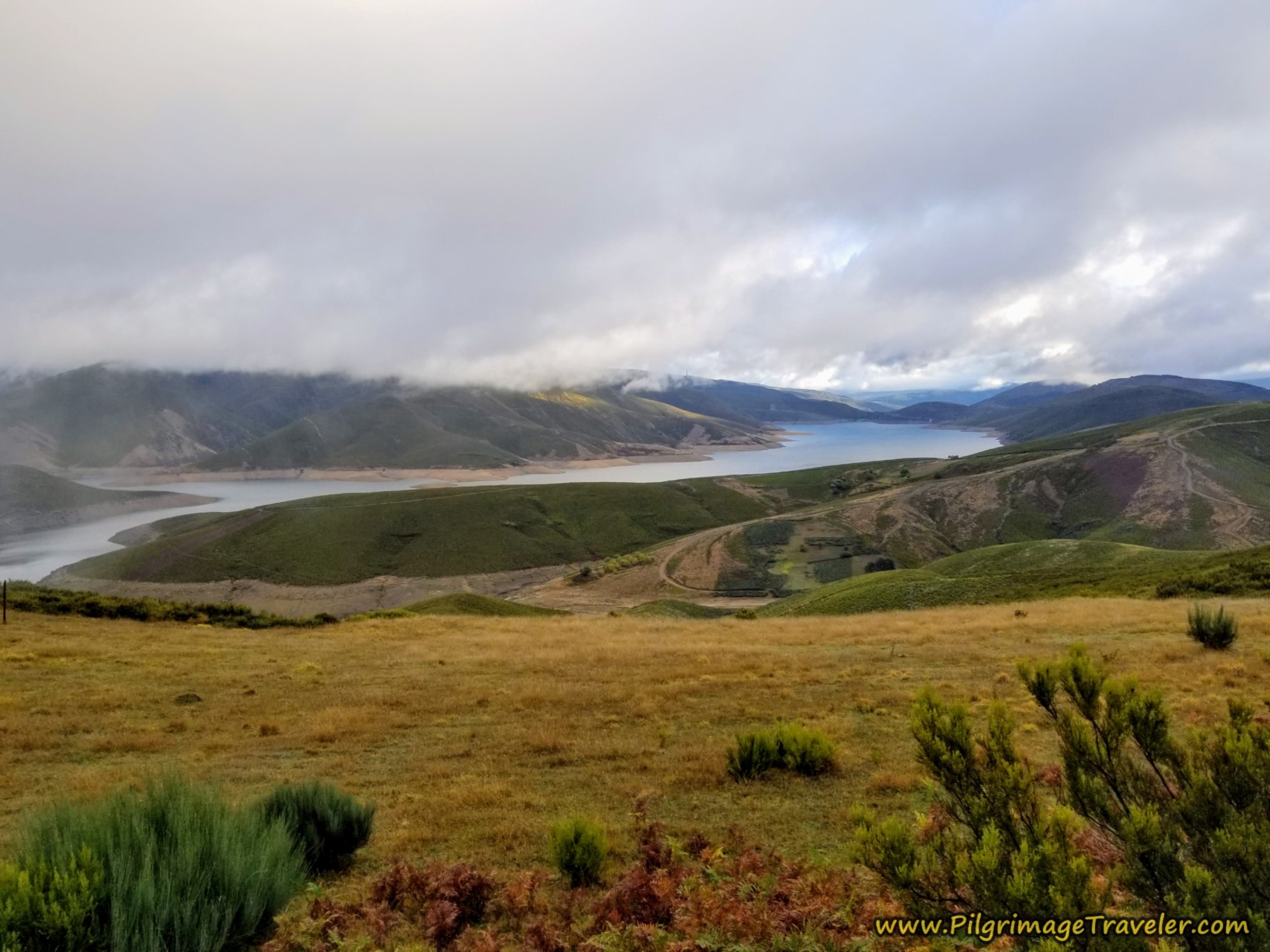
And maybe you are fortunate enough to see the incredible views from this high mountain pass! Ultreia!
Camino Fonseca Stages
~ Vía de la Plata Stages from Salamanca



~ Camino Sanabrés Stages

Please Consider Showing Your Support
Many readers contact me, Elle, to thank me for all the time and care that I have spent creating this informative website. If you have been truly blessed by my efforts, have not purchased an eBook, yet wish to contribute, I am exeedingly grateful. Thank you!
Search This Website:
The Pilgrimage Traveler Digital Guides
Our Guides Help You:
~ Know what to expect each day!
~ Locate historic sites along the Way!
~ Know where you are in your journey!
~ Discover a quote from the sages, for your daily reflection on the journey!
Click on a Photo Below to Get Your Copy.
A most popular alternative on the Central Route of the Camino Portugués!👇

The Portuguese Routes are rapidly gaining in popularity, especially the section from Lisbon! Plan to walk this one soon, before it is no longer a quiet experience!👇
Our most popular Portuguese guide! 👇
The most historic of the Portuguese Caminos ~ not to be missed!👇
The spiritual adventure of a lifetime, following in the footsteps of St. Teresa of Ávila!👇

The amazing mountain route alternative, the Camino Sanabrés, from Granja de Moreruela on the Vía de la Plata!👇
The most incredible mountain scenery on this camino from Leon to Oviedo!👇
The shortest of the caminos, but not easy!👇

The very first, Original Way from Oviedo to Santiago!👇
The pilgrimage to the "End of the World" ~ The perfect add-on to your camino!👇

All Banners, Amazon, Roamless and Booking.com links on this website are affiliate links. As an associate of these companies, the Pilgrimage Traveler website will earn from qualifying purchases when you click on these links. We have used and love all of our product recommendations and believe you will too! We sincerely thank you!

🙋♀️ Why Trust Us at the Pilgrimage Traveler?
We’re not a travel agency ~ we’re fellow pilgrims! (See About Us)
We've trekked Pilgrimage Routes Across Europe since 2014!
💬 We’ve:
- Gotten lost so you don’t have to. 😉
- Followed waymarks in the glowing sunlight, the pouring rain and by moonlight. ☀️🌧️🌙
- Slept in albergues, hostels & casa rurals. Ate and drank in cafés along the way. 🛌 😴
- Created comprehensive and downloadable GPS maps and eBook Guides, full of must-have information based on real pilgrimage travels. 🧭 🗺️
- Shared our complete journeys, step by step to help YOU plan your ultimate pilgrimage and walk with your own Heart and Soul. 💙✨
Every detail is from our own experiences. Just fellow pilgrims sharing the Way. We have added a touch of spirituality, heartfelt insights and practical guidance from the road ~ offering a genuine connection to the spirit of pilgrimage. Tap into the wisdom of seasoned pilgrims!
Ultreia and Safe Pilgrimage Travels, Caminante! 💫 💚 🤍
Follow Me on Pinterest:
Find the Pilgrimage Traveler on Facebook:

Shroud Yourself in Mystery, along the Via de Francesco!

Walk in the Footsteps of St. Francis, and Connect Deeply with the Saint and to Nature in the Marvelous Italian Countryside!
Need suggestions on what to pack for your next pilgrimage? Click Here or on the photo below!



%2C%20comes%20together%20with%20the%20A-52%20motorway%20on%20a%20parallel%20path.%20You%20come%20to%20the%20fourth%20opportunity%20to%20join%20the%20Camino%20traditional%20route.%20There%20is%20now%20a%20dirt%20lane%2C%20off%20to%20your%20right%20that%20takes%20you%20to%20the%20looping%20Camino%20way%2C%20just%20before%20this%20merge%20and%20highway%20kilometer%20marker%20100.)


Carbon Trekking Poles ~ My Favorites!

Carbon fiber construction (not aluminum) in a trekking pole makes them ultra lightweight. We like the Z-Pole style from Black Diamond so we can hide our poles in our pack from potential thieves before getting to our albergue! There are many to choose from! (See more of our gear recommendations! )
Gregory BackPack ~ My Favorite Brand


Do not forget your quick-dry microfiber towel!