- ~ Home
- ~ Vía de la Plata (The Silver Way)
- Salamanca to Calzada de Valdunciel, Day One
Jump to Vía de la Plata Stages
Vía de la Plata, Salamanca to Calzada de Valdunciel, Day One, 16.4 Kilometers (10.2 Miles)
Our first day on the Via de la Plata, from Salamanca to Calzada de Valdunciel was charged with energy and excitement, despite the relatively boring landscape as we walked out of the city and into the countryside.
“What drains your spirit drains your body. What fuels your spirit fuels your body.” ~ Caroline Myss, Author, Intuitive and Spiritual Teacher
If you are looking for accommodation in Salamanca, click here. There are many, many choices of places to stay, including the municipal Albergue de Peregrinos, Casa la Calera, which is immediately south of where the route for the day officially begins. We stayed at the Apartamentos Gran Vía, which was very economical for our party of four.
We chose to make this first day an easier one, from the standard 36.4 kilometer stage to El Cubo de Tierra del Vino, by splitting it into two stages. In fact the first two standard stages from Salamanca to Zamora total 68 kilometers. This was our preference and best for the Camino newbies with us the first time!
The plan was to take three days for this distance, albeit the 3rd stage would be a long 31.3 kilometers. But the 3rd stage from El Cubo to Zamora, aside from the distance, is easy and downhill most of the way. And by then, we would be more acclimated from the prior days, hopefully!
🙋♀️ Why Trust Us at the Pilgrimage Traveler?
We’re not a travel agency ~ we’re fellow pilgrims! (See About Us)
We've trekked Pilgrimage Routes Across Europe since 2014!
💬 We’ve:
- Gotten lost so you don’t have to. 😉
- Followed waymarks in the glowing sunlight, the pouring rain and by moonlight. ☀️🌧️🌙
- Slept in albergues, hostels & casa rurals. Ate and drank in cafés along the way. 🛌 😴
- Created comprehensive and downloadable GPS maps and eBook Guides, full of must-have information based on real pilgrimage travels. 🧭 🗺️
- Shared our complete journeys, step by step to help YOU plan your ultimate pilgrimage and walk with your own Heart and Soul. 💙✨
Every detail is from our own experiences. Just fellow pilgrims sharing the Way. We have added a touch of spirituality, heartfelt insights and practical guidance from the road ~ offering a genuine connection to the spirit of pilgrimage. Tap into the wisdom of seasoned pilgrims!
Ultreia and Safe Pilgrimage Travels, Caminante! 💫 💚 🤍
Maps and Stats of Day One on the Vía de la Plata, Salamanca to Calzada de Valdunciel
Here is a Google interactive map for the day, created from my GPS tracks. I have placed essential services on the map for your planning. There are plenty of services in each town as you can see, and inexpensive accommodations in Calzada de Valdunciel, including a municipal albergue, at the end of the stage. However, it is always advisable to carry water in this hot, dry region, as well as snacks.
If you do wish to go farther, about a total of 25 kilometers and have the resources, there is the expensive Castillo del Buen Amor, about 2.2 kilometers even farther off-Camino. This accommodation is a lovely renovated 11th century castle and wine estate! We did not feel that rich!
If you choose to walk past Calzada de Valdunciel and not stay in the castle, you are committing to walk all the way to El Cubo de Vino, 36.4 kilometers, since there are no other accommodations in-between these two towns.
The elevation profile for the day is shown below, and it looks like some ups and downs, but the change in elevation is less than 100 meters (328 feet) in any given section, so looks are deceiving.
The entire stage feels almost entirely flat. It is an easy walk, and if this is not your first stage on the Via de la Plata, most likely, you could easily go farther. The remaining 20 kilometers to El Cubo de Tierra del Vino to complete the standard stage (see day two) is also essentially flat.

👣 Camino Sanabrés EBook:
Offline Guide with Bonus Route
~ Includes 4-5 additional days on the Vía de la Plata from Salamanca!
Walk smarter with our ad-free, beautifully formatted Camino Sanabrés eBook Guide, perfect for offline use ~ important in the mountainous and remote areas. Includes daily stage details, stunning photos, historical background and a BONUS digital guide on the Vía de la Plata from Salamanca, called the Camino Fonseca. This allows you the opportunity to add 4-5 more days to your Camino in the beginning.
Don't carry a hard copy guide book to increase your pack weight. Use our frequently updated digital guide on your next Camino instead!
📲 Instant download. 💸 Money-back guarantee. 🔄 Free updates for 1 year.
👉 Click here for more info or BUY NOW!
Jump to Vía de la Plata Stages
Photo-Rich Travelogue of Day One on the Vía de la Plata, Salamanca to Calzada de Valdunciel
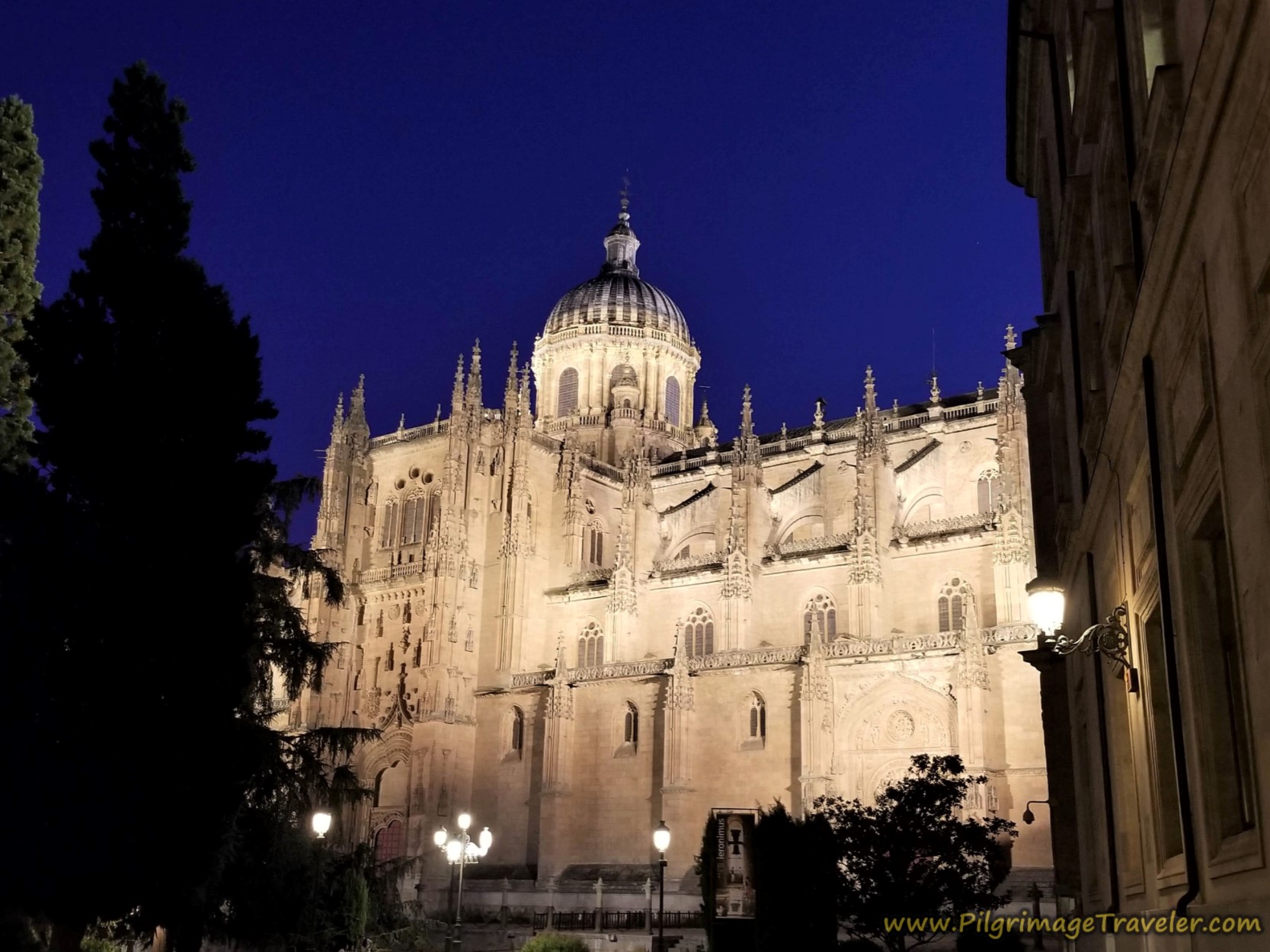
We got an early start, at daybreak. The beginning for this first stage is at the cathedral of Salamanca and below is a photo of it from the night before.
The municipal Albergue Casa la Calera is just behind the cathedral to the southeast (check the interactive map), if this is where you are starting your day. This 18-bed donativo is run by wonderful volunteers, is a bit tight when it's full, but adequate, with a kitchen, separate sex bathrooms and a continental breakfast.
I am calling the cathedral the "official" start of the Camino Fonseca, that is the historic route of Don Alonso de Fonseca y Acevedo III, a 16th century Archbishop of Santiago de Compostela (see intro for more information). The Camino Fonseca goes between Salamanca and Santiago de Compostela.
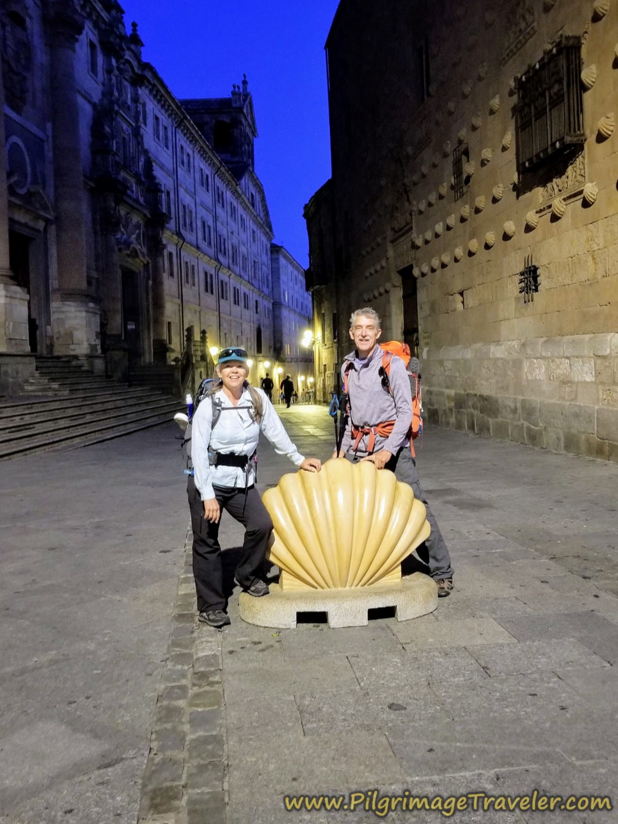
From the Plaza de Anaya, on the north side of the cathedral, walk northward on the pedestrian street of the same name (Plaza de Anaya). After about 125 meters, you will see the distinctive House of Shells, the Casa de las Conchas (taken in daylight the day before and is a few steps off-Camino to the left), which is now the Public Library of Salamanca.
After passing the Shell House, we walked through the lit and silent streets about another 200 meters, now along the Calle Mayor, until reaching the Iglesia de San Martín de Tours at a T-intersection, pictured below. The Way is not well-marked here, but essentially, you go straight onward towards a small plaza and to the left side of the church.
 Iglesia de San Martín de Tours, Plaza de Corrillo
You then walk through the small Plaza de Corrillo, lined with restaurants, but looking abandoned in the early morning.
Follow the street around the side of the church and see the archway ahead leading you into the Main Plaza, the Plaza Mayor, an enclosed 18th century Baroque marvel.
Walk northward across the main plaza, shown next. The plaza is not quite 1/2 kilometer from the cathedral. The Way goes through this pictured archway, on the north and central end of the plaza. There is a scallop shell on the pavement as it points to the Calle Zamora (Street to Zamora), the pedestrian street you will be walking on next.
However most likely you will not locate this waymark, because there is always something going on in the square to block it. Just head for the middle of the tallest building in the center of the square with the flags flying above this archway. This is the town hall, the Ayuntamiento of Salamanca, a Spanish Baroque architectural marvel and the focal point of the square.
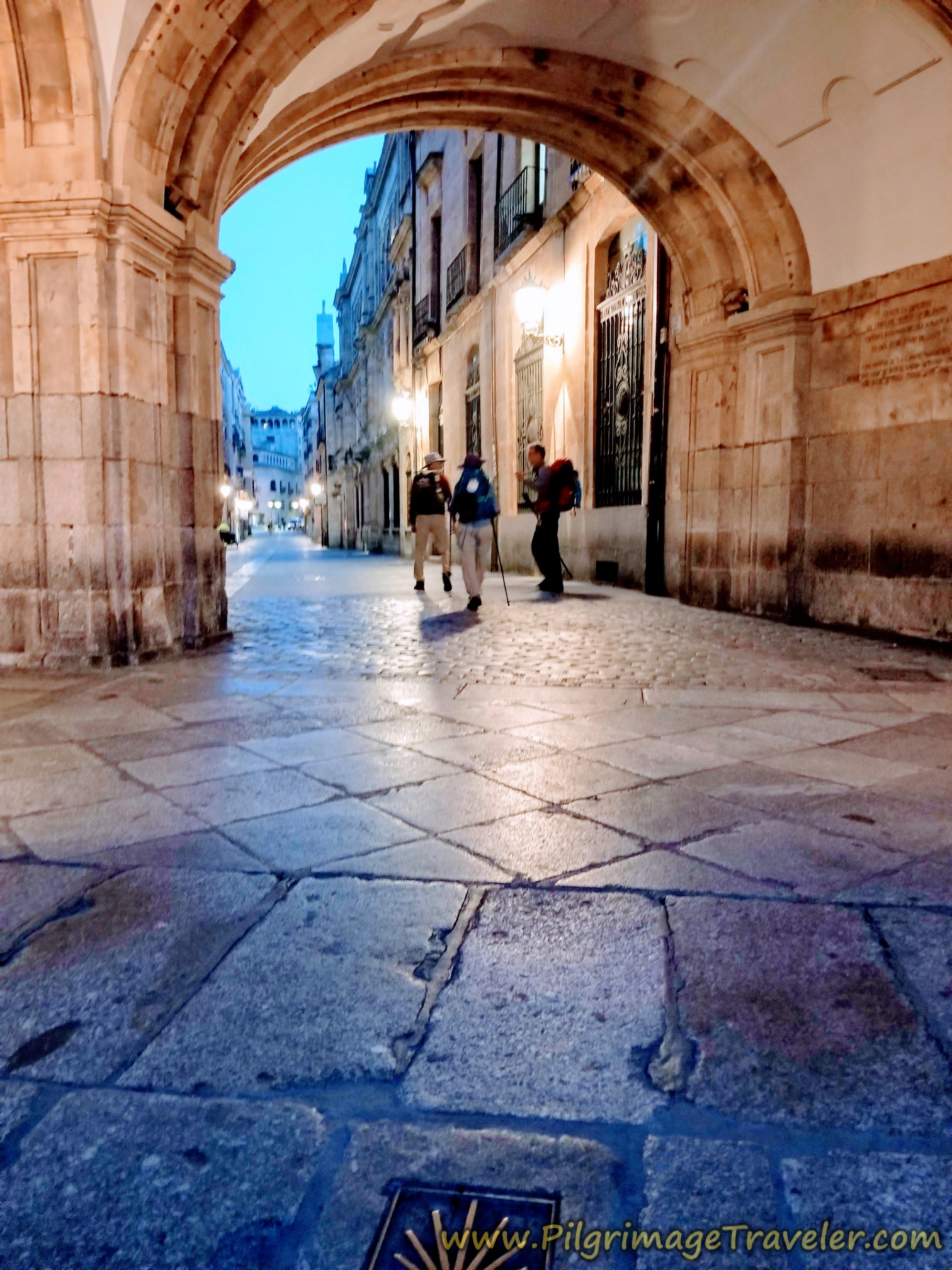
The shell waymarks on the pavement are sparse in the center of town, which is why I am giving you a detailed description of the route through the city.
Once you pass the Plaza Mayor, just outside of the center, tourist area, there are many, many open cafe bars for breakfast if you need. We had a full, cooked breakfast in our Apartamento Gran Vía so we did not need to stop.
If you stayed in the municipal albergue and if the continental breakfast wasn't enough, you may wish to stop. Most pilgrims supplement the coffee and biscuits with their own food, as we did when we stayed here.
Walk along the Calle Zamora for another 1/2 kilometer and past the backside of this landmark church, the Iglesia de San Marcos.
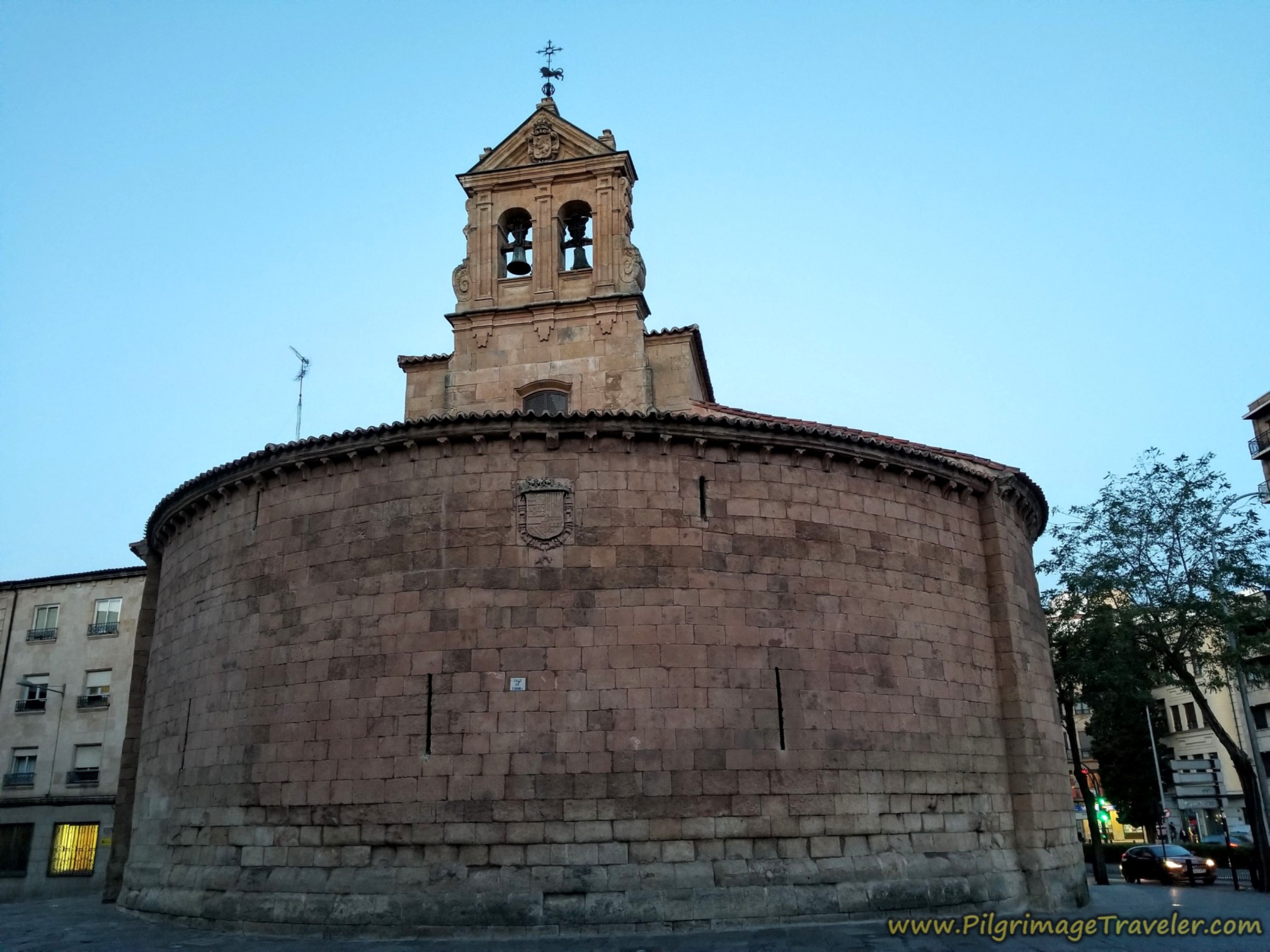 Landmark Iglesia de San Marcos
By the church is your first large roundabout with a nice fountain, pictured below, where Zamora Street ends as well as the pedestrian walkway and you join the busy N-630. It is essentially a straight shot northward through the rest of Salamanca from here.
It is the easiest to circumnavigate the roundabout to the right (east) side.
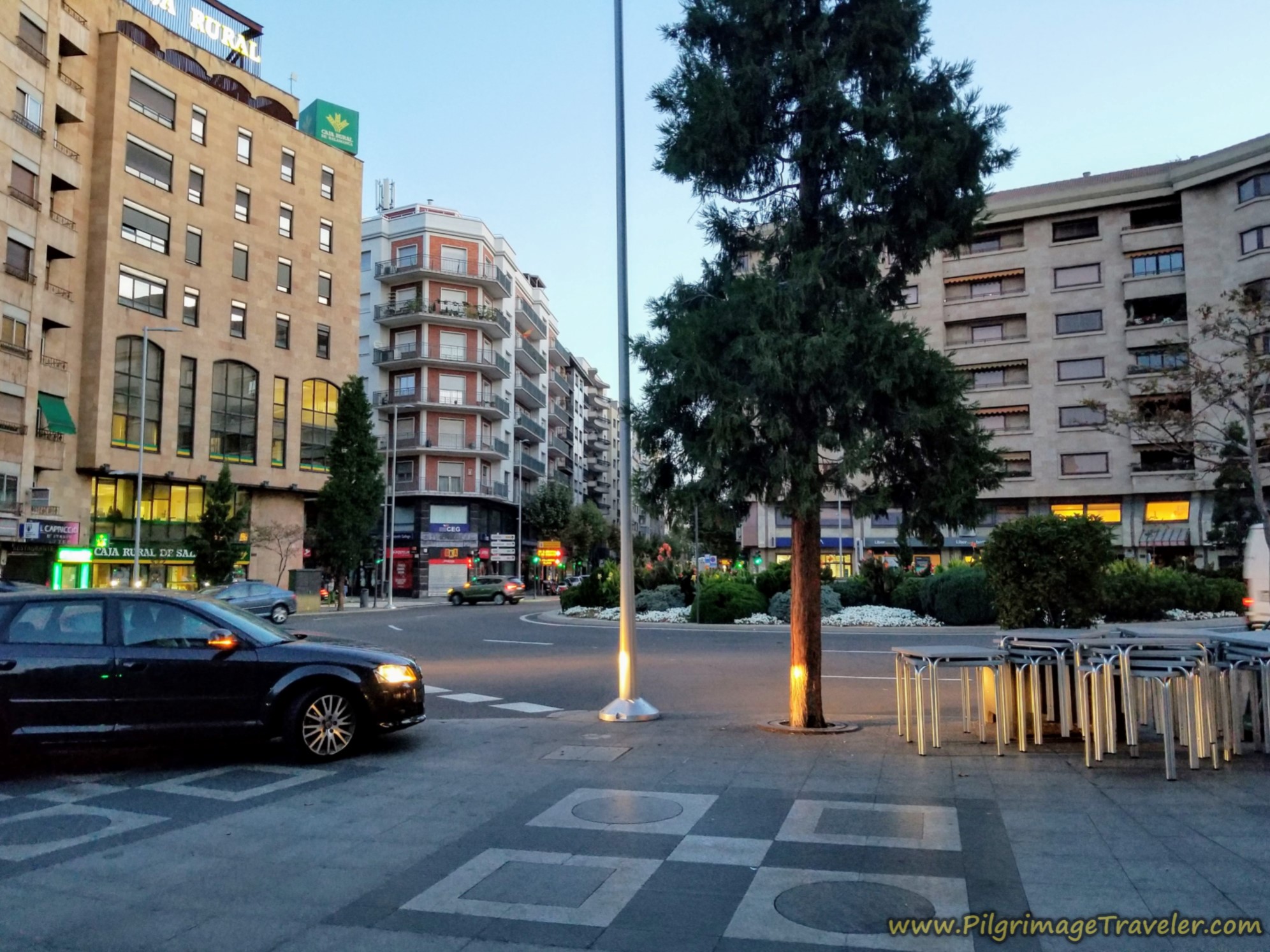 First Roundabout with Fountain
Continue northward along the N-630 for another 1/4 kilometer to the next, smaller roundabout with a white, spherical metal sculpture. Pass again on the east side.
Continuing along the highway is not so bad here, as there is a wide pedestrian way to the far right of the street, photo below. This sort of pedestrian frontage way shelters you nicely from the busy street.
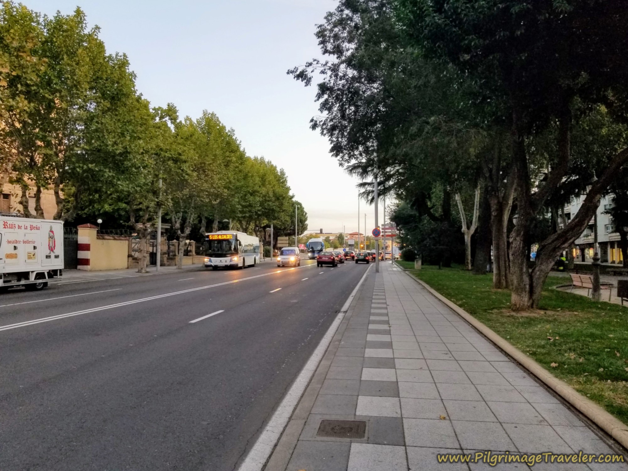 Along the N-630 Through Salamanca
Pay attention in the next 1/4 kilometer, as there will be a Y-intersection coming up with another large roundabout with a bull sculpture in the center, shown below. It is at this roundabout where you must walk left to stay on the N-630, following the signs to Zamora. I did not see any Camino waymarks before the intersection.
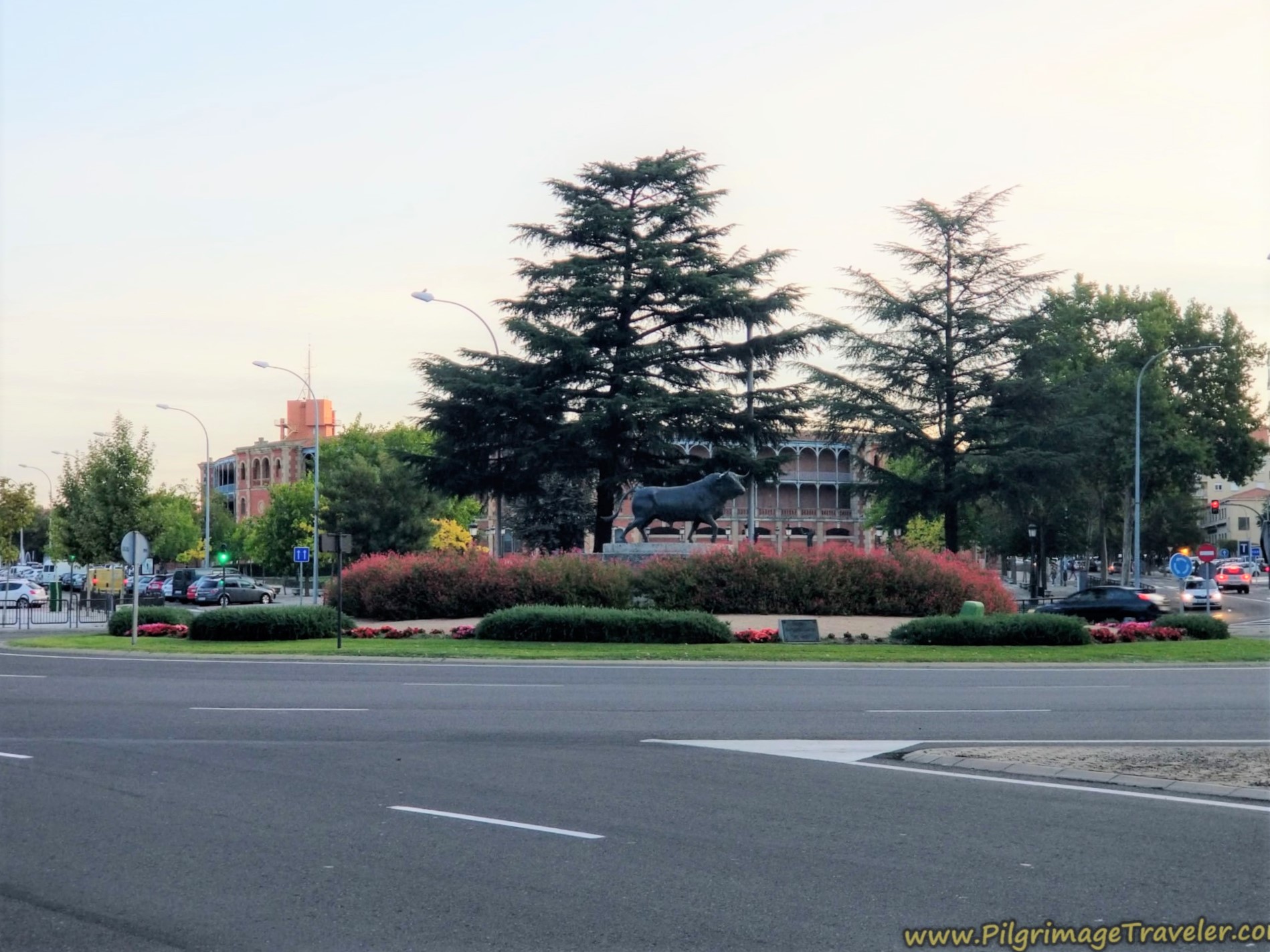 Bull Sculpture in Roundabout
There is a shell here on the pavement, but only after you turn left at the roundabout. The shell now confirms the turn, but you must anticipate it.
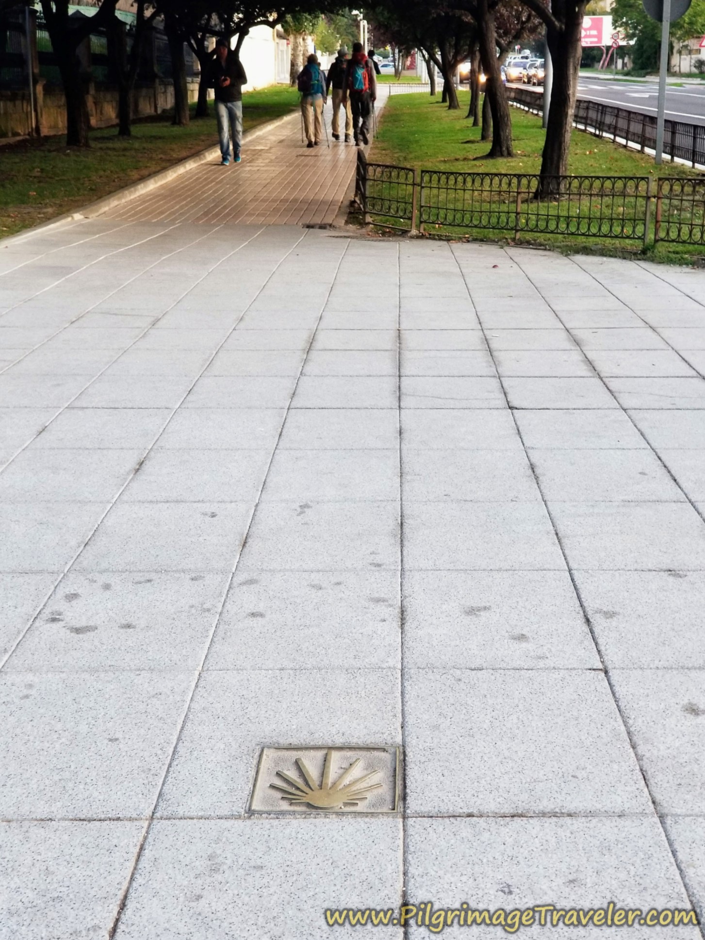
Follow the N-630 for another 300 meters or so after the bull sculpture until you see a large Repsol gas station just before yet another big roundabout.
It is in front of this Repsol station that you will first see a green bike path crossing in front of you, traveling east-west.
Make sure you cross over to the gas station if you are not already there, because the bikeway you need to follow will branch off to the left, along the east side (right side) of the roundabout and continue northward from there. After the roundabout, you will pass the first large Camino de Santiago sign to assure you that you are on the correct path. The signage will now be more frequent from here.
When the sidewalk ends after the roundabout, there is a lovely accompanying paved walking path by the bikeway and a water fountain if needed.
There is a large Carrefour supermarket just ahead a few meters on the left (west) side, if you haven't yet stocked up your pack for the day, or you need a few last minute items. It should be open by 9:00 a.m.
Within about 600 meters more, you see the sign below, letting you know that you have now left the city proper. At this juncture, we had logged about 3.0 kilometers into our day on the Vía de la Plata from Salamanca to Calzada de Valdunciel. The road is wide open from here.
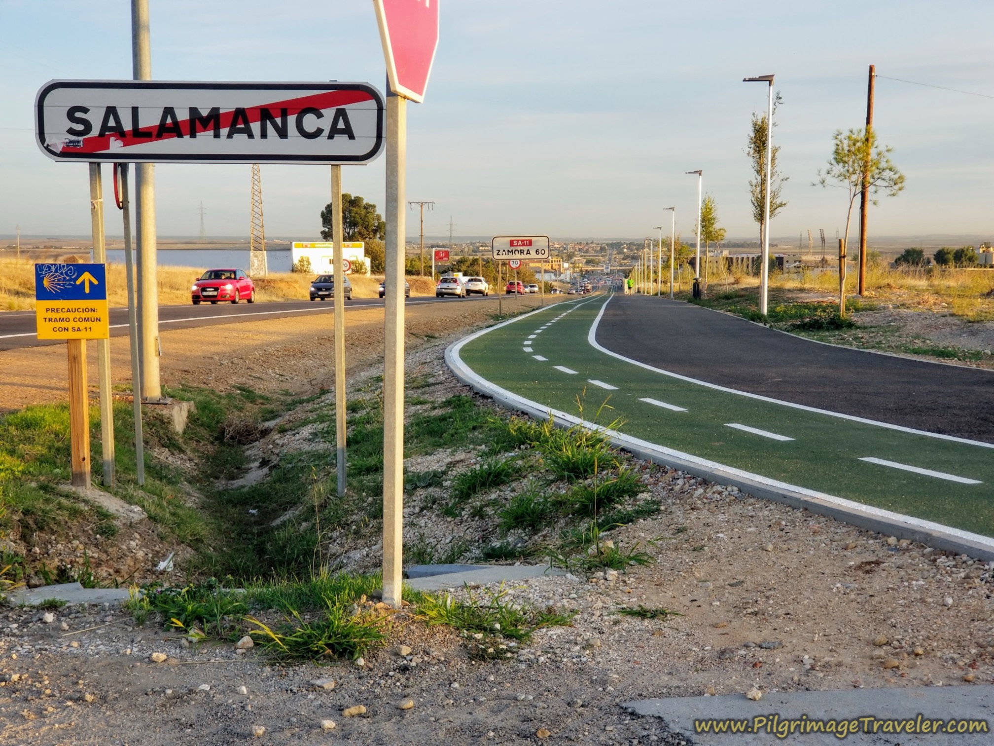
Jump to Vía de la Plata Stages
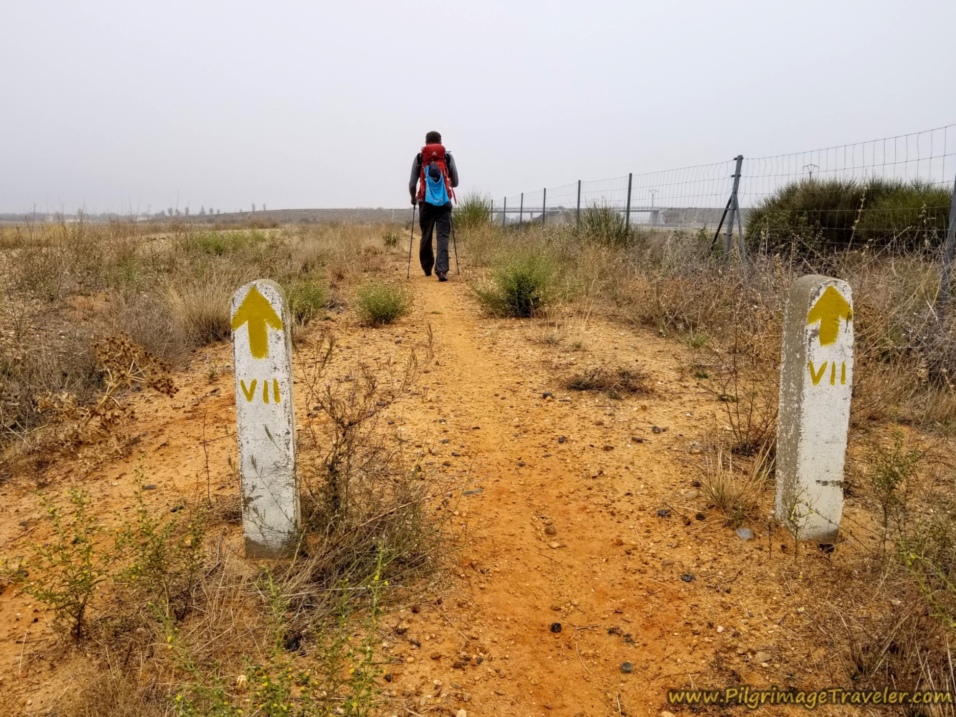
Continue along the N-630 northward for another 2.5 kilometers, walking through many roundabouts along the way, the first of which we spied our first yellow arrow painted on a post!
One of the roundabouts is through the large interchange with the A-62. It is always easiest to pass through these roundabouts on the right (east) side. On the way, walk through industrial areas, until finally the buildings and the sidewalks end.
After the sidewalk ends you can walk safely on the left shoulder of the road, until you come to this intersection, below. Here you are directed with a yellow arrow to turn left onto the dirt road. You have walked about 5.5 kilometers into your day at this intersection.
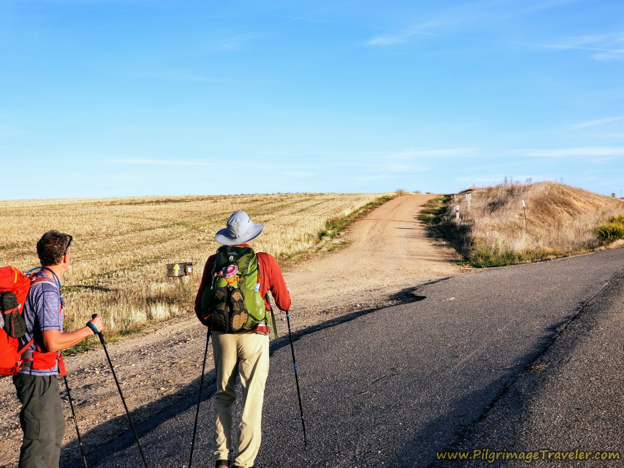
In a few meters, after cresting a small hill, you can see the next town of Aldeaseca de la Armuña ahead.
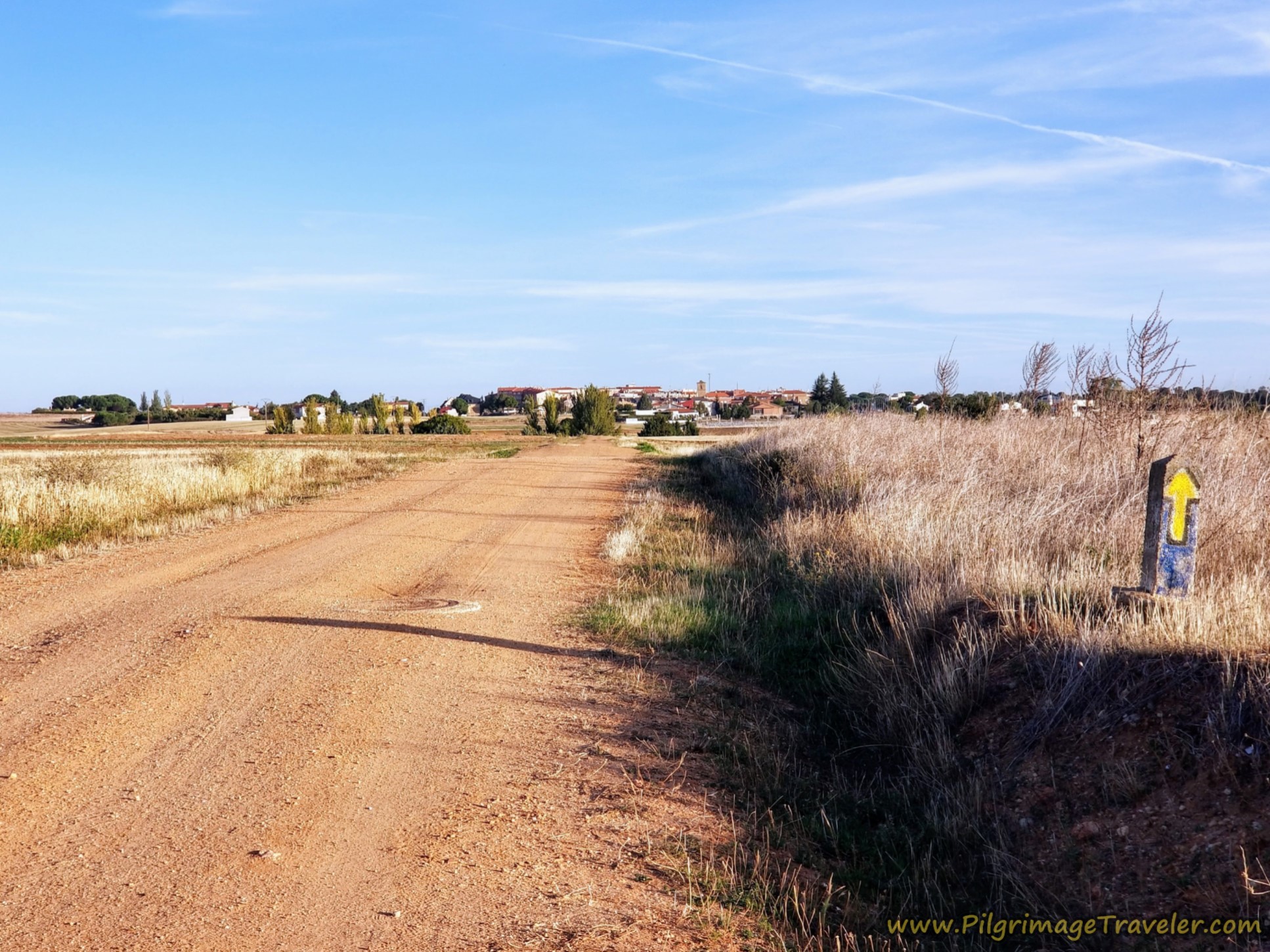 Aldeaseca de la Armuña Ahead
Enter the town after about one kilometer from the turn-off. First pass by the park, then enter into the center.
Keep heading straight until you can see the church on your left, the dominant feature in the town's landscape. Head left toward this church, by turning left onto the Calle Iglesia. At the church, the Iglesia Parroquial de Santa Cruz, you are about 6.9 kilometers from Salamanca.
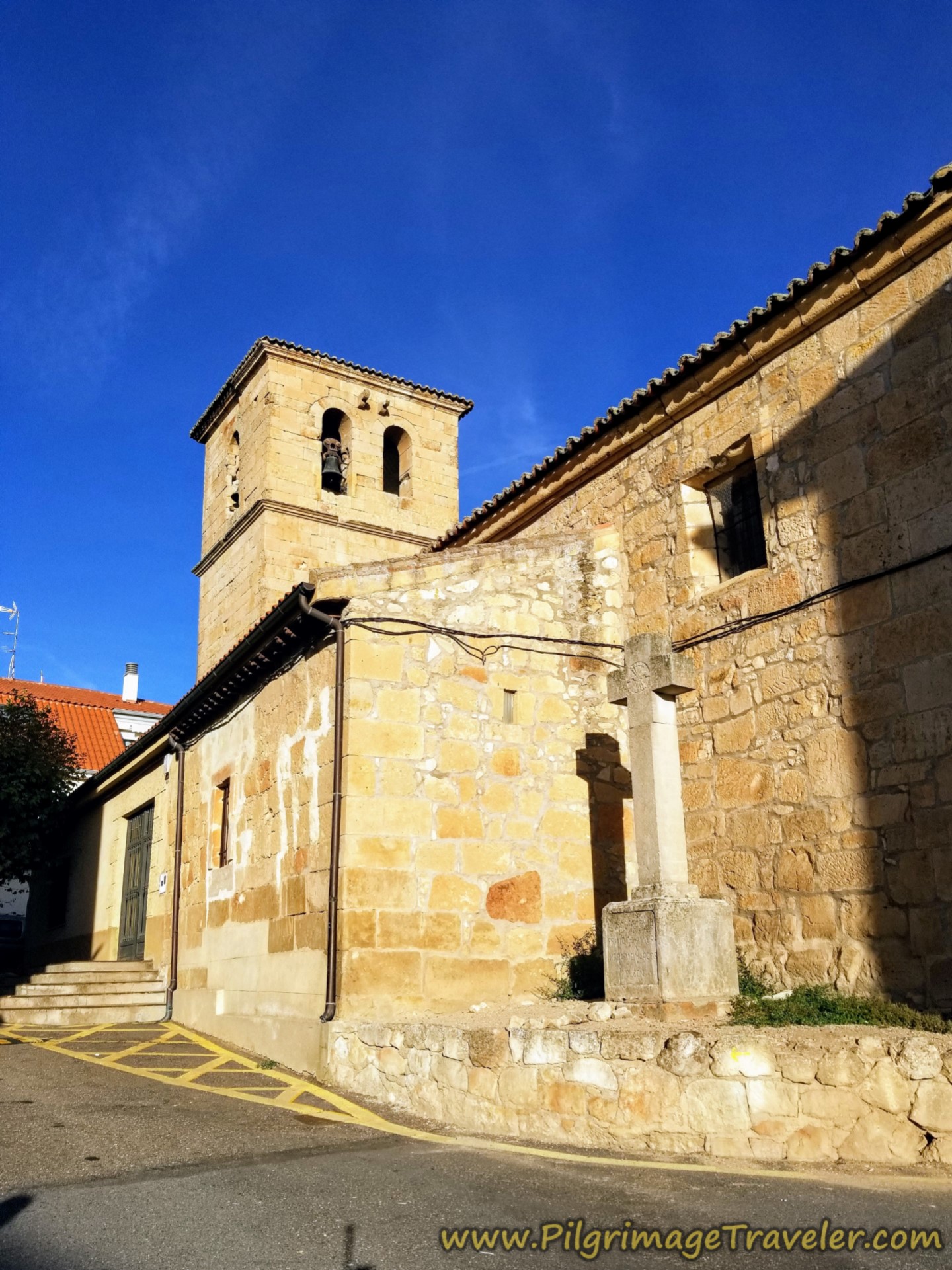
After the church, a few meters off Camino, there is a bar. It should be open after 9:00 a.m., but after only about seven kilometers into the day, we were not interested in stopping quite yet. From here there are no bars until the end of the stage, so consider your choice wisely if you are a caffeine-aholic!
Continuing past the church on the north side along the Calle Iglesia, take it a few hundred meters westward and out of town. You will encounter a yellow arrow on a large power pole telling you to turn right onto a secondary paved road.
Take this road onward and through the overpass of the A-66, 1/2 kilometer later, shown below.
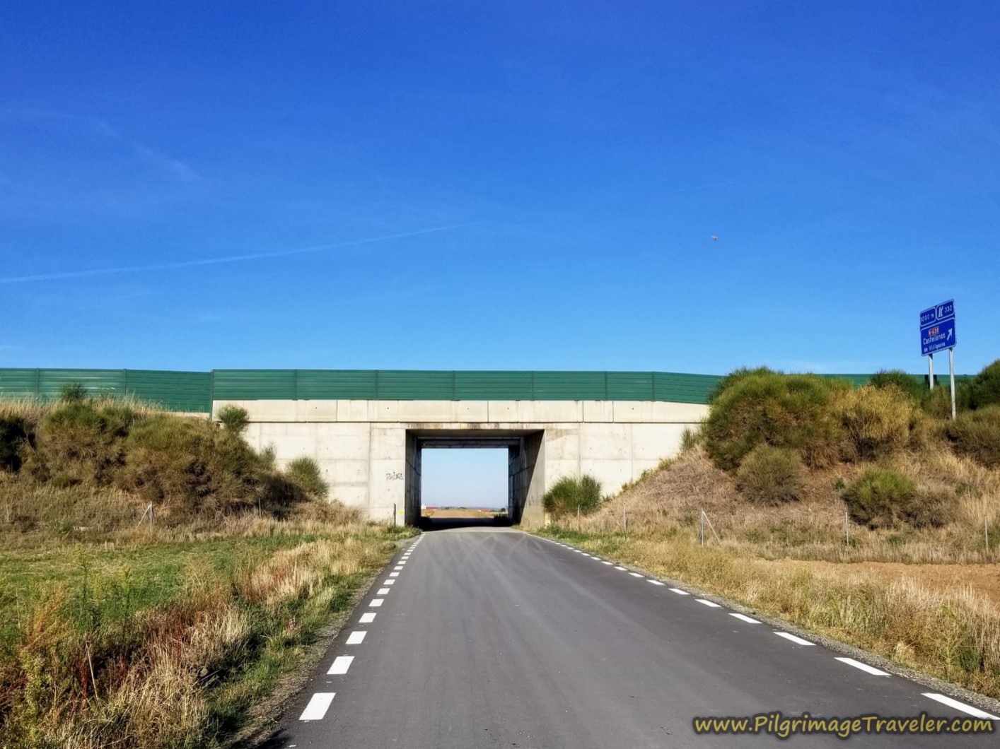 Overpass of the A-66
The road turns to dirt after the bridge and is wide open as it travels westward. If you look over your right shoulder to the north, you can see your next destination, the town of Castellanos de Villiquera, and its church and water towers rising prominently, three kilometers away.
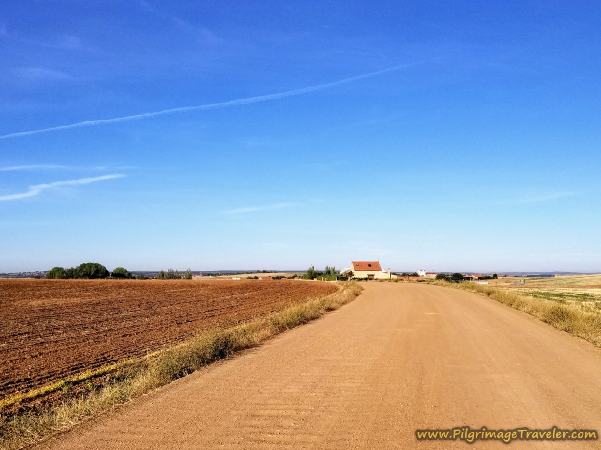 Open Dirt Road Westward
In yet about another 3/4 kilometer, at this 5-point intersection, take a hard right, following the yellow arrow onto the Camino de Castellanos.
 Right Turn at 5-Points
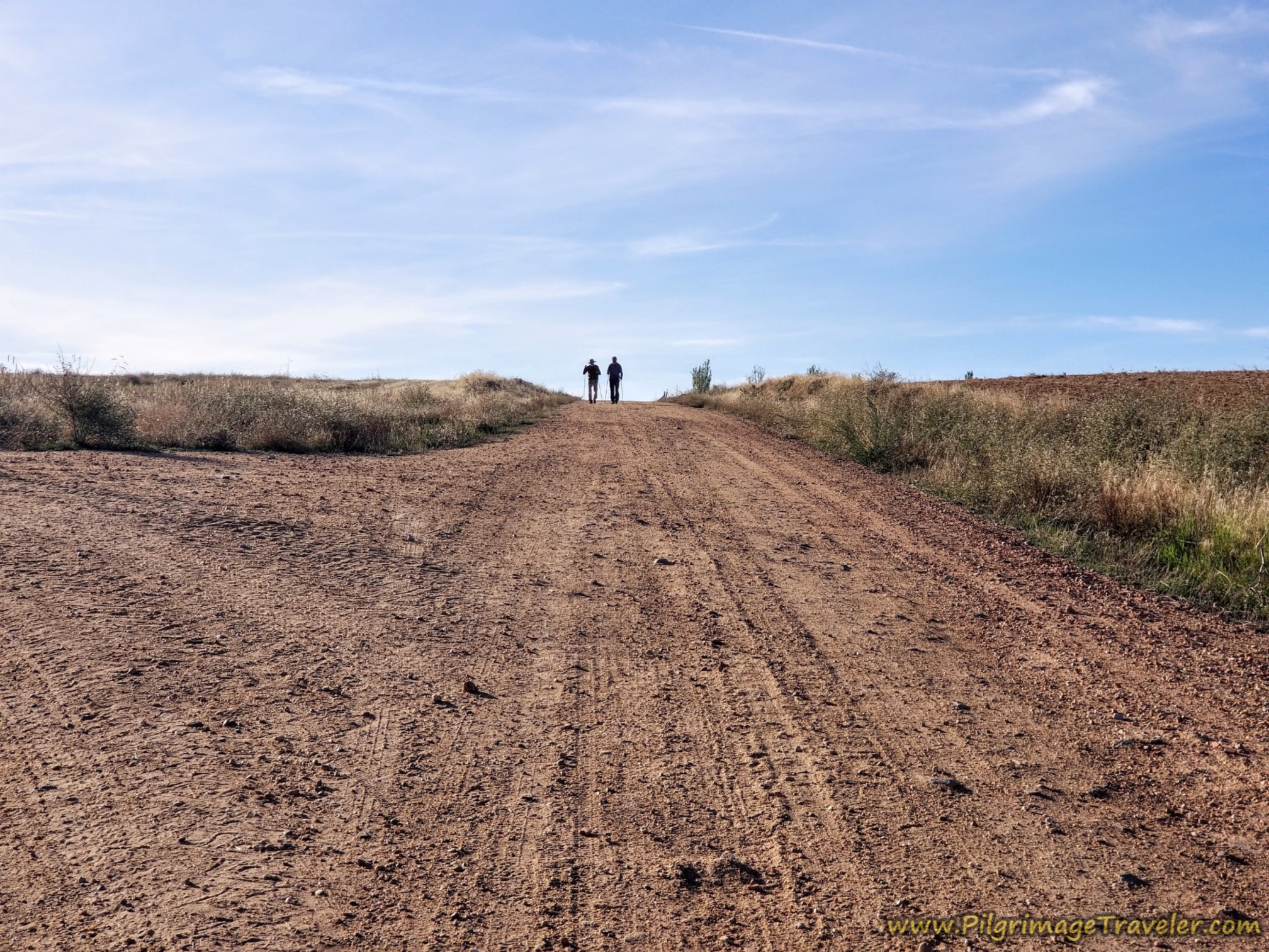
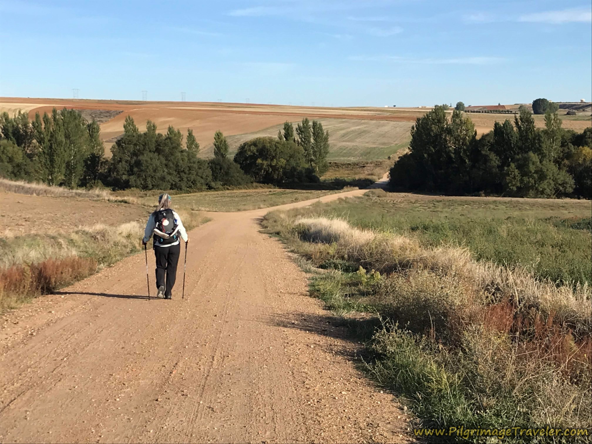
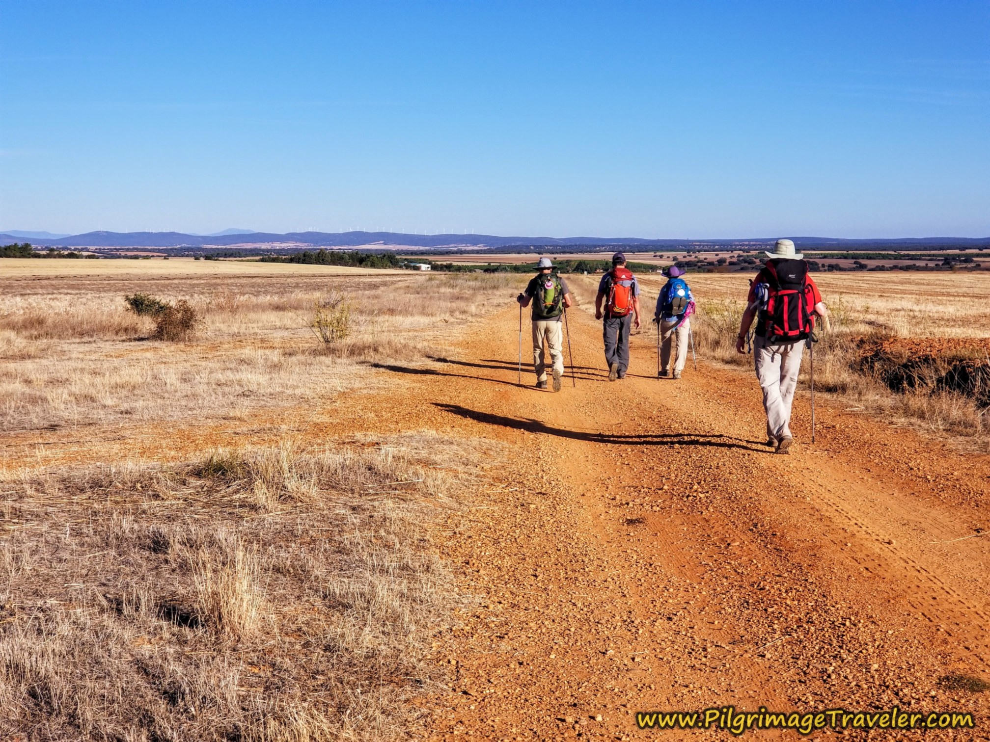
The road from Aldeaseca de la Armuña to the next town of Castellanos de Villiquera, has some undulating hills. With light hearts and feet, here is our friend Norm and my husband Rich negotiating the first rise.
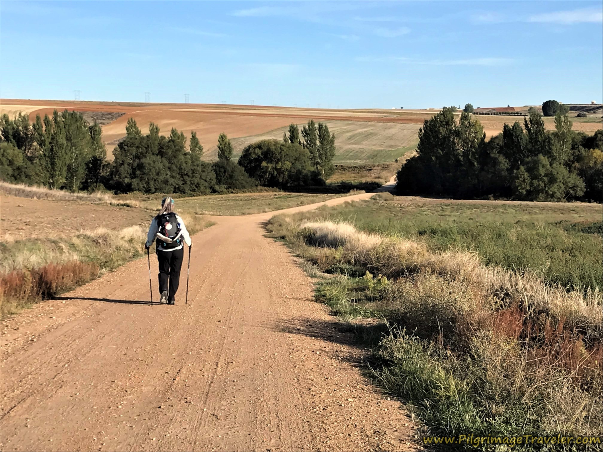
And on the other side, here I am negotiating the downslope toward one of the few stands of trees we would pass on the first day of the Vía de la Plata from Salamanca to Calzada de Valdunciel.
These trees designate a crossing of a drainage.
At the next rise, we could clearly see Castellanos de Villiquera in the distance. I validated to myself that indeed we could see the bell tower of the church and the water tower rising prominently, almost since leaving Aldeaseca de la Armuña.
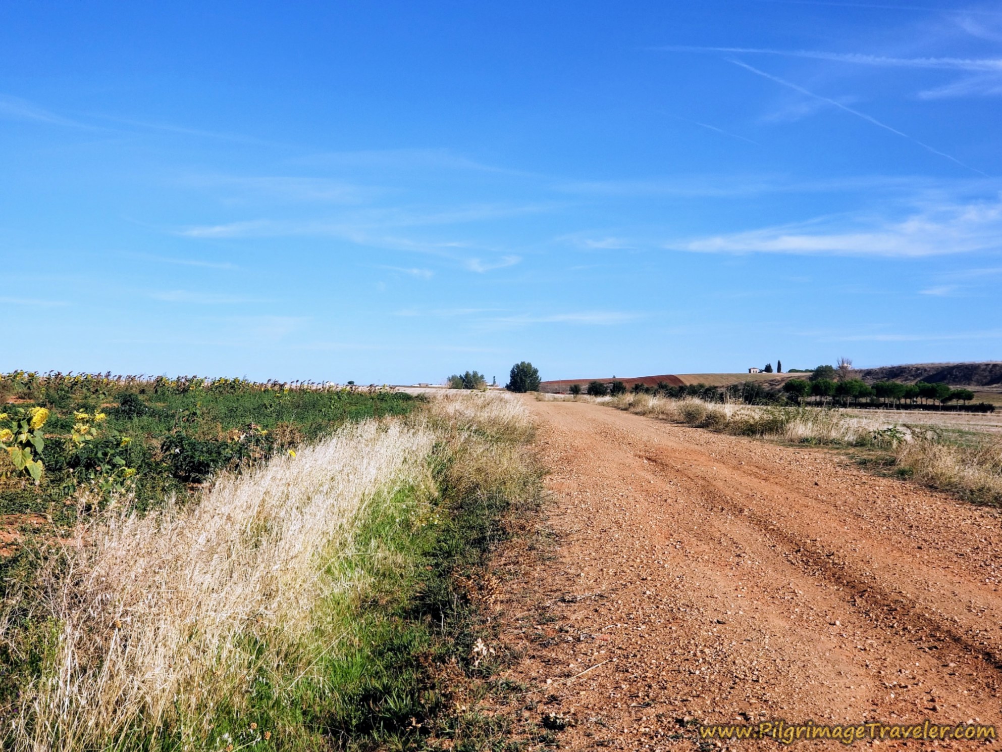 Castellanos de Villiquera in the Distance
After about 3.0 kilometers on the lonely Camino de Castellanos, you come to an athletic complex, at the left side of the road, below, with soccer fields and a basketball court. The road now turns to pavement, and you take a left turn towards town.
 Pass Athletic Area
About 1/2 kilometer after the basketball court, you will enter town.
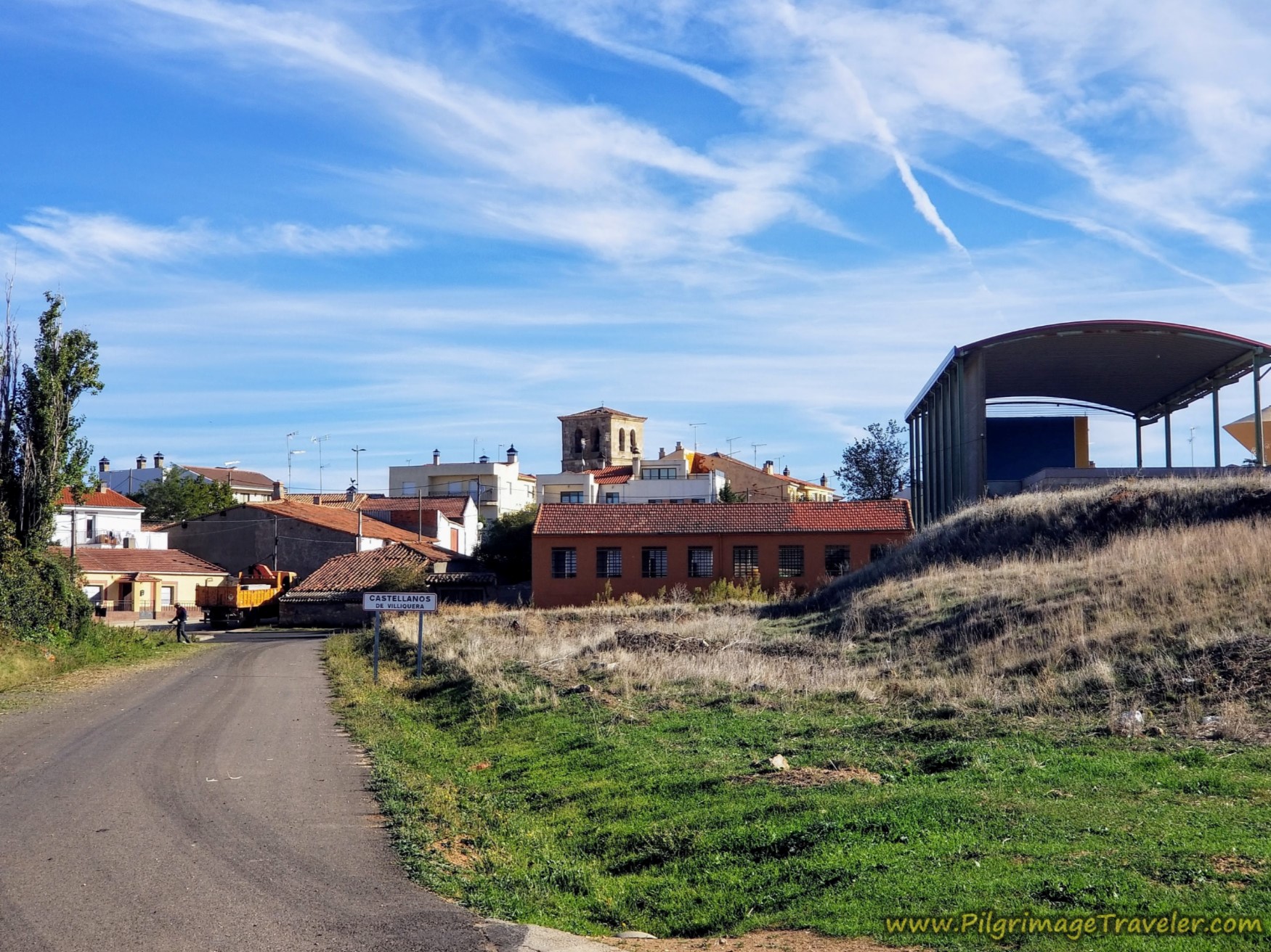 Entering Castellanos de Villiquera
The first two buildings ahead, including the large, open shed, are painted brightly, depicting women washing clothes in the traditional way and perhaps townspeople. I love these types of artwork along the Way. Fuel for the spirit!
There are benches here to rest and there is a water fountain beside it.
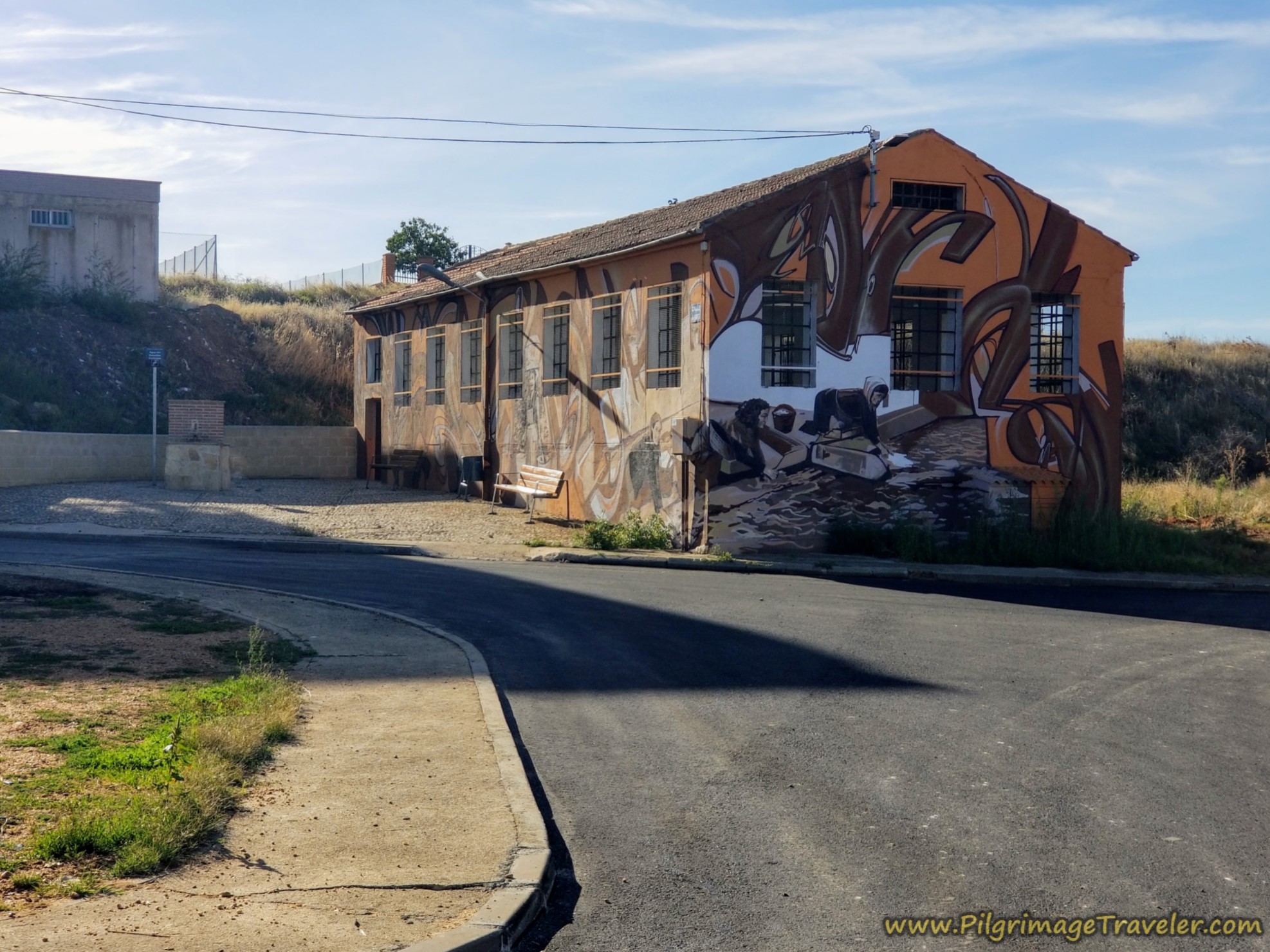 Murals and a Fountain
On the east side of town, there is a café bar called the Bar Capricho, only about 300 meters off-Camino from the painted murals where you turn right, then another right by the playground onto the Calle Salamanca. The bar will be on your left after about 100 meters. It has daily opening hours at 0700!
The center of Castellanos de Villiquera, is about 12 kilometers from Salamanca towards Calzada de Valdunciel on the Vía de la Plata.
There is an accommodation, the Vinarius, Posada Rural, (+34 658 86 45 19), just north of the town square if your day should end here, but it is very expensive. Also near town, ½ km off-Camino is La Casona de Sergio, (+34 649 83 45 46) and is reasonably priced.
We thought we'd head to the town church to sit and have a break, however, there is an antique well in a small park just past the murals, with benches if you don’t want to stray off-Camino.
The church, it appeared, was no longer being used as a church. But we sat down on the curb to pull out snacks from our packs.
Lo, and behold, as we sat there, I spied a little tienda, just across the street from the church, the Alimentación Victoria! We went in to have a look and found cold, bottled lattes! Wonderful! Almost as good as fresh cafés con leche! I placed this tienda on my interactive map, if you want its exact location.
 Town Church and the Alimentación Victoria
Returning to the Camino from the church, the signage is good through town, and we followed it once again to the hot open terrain.
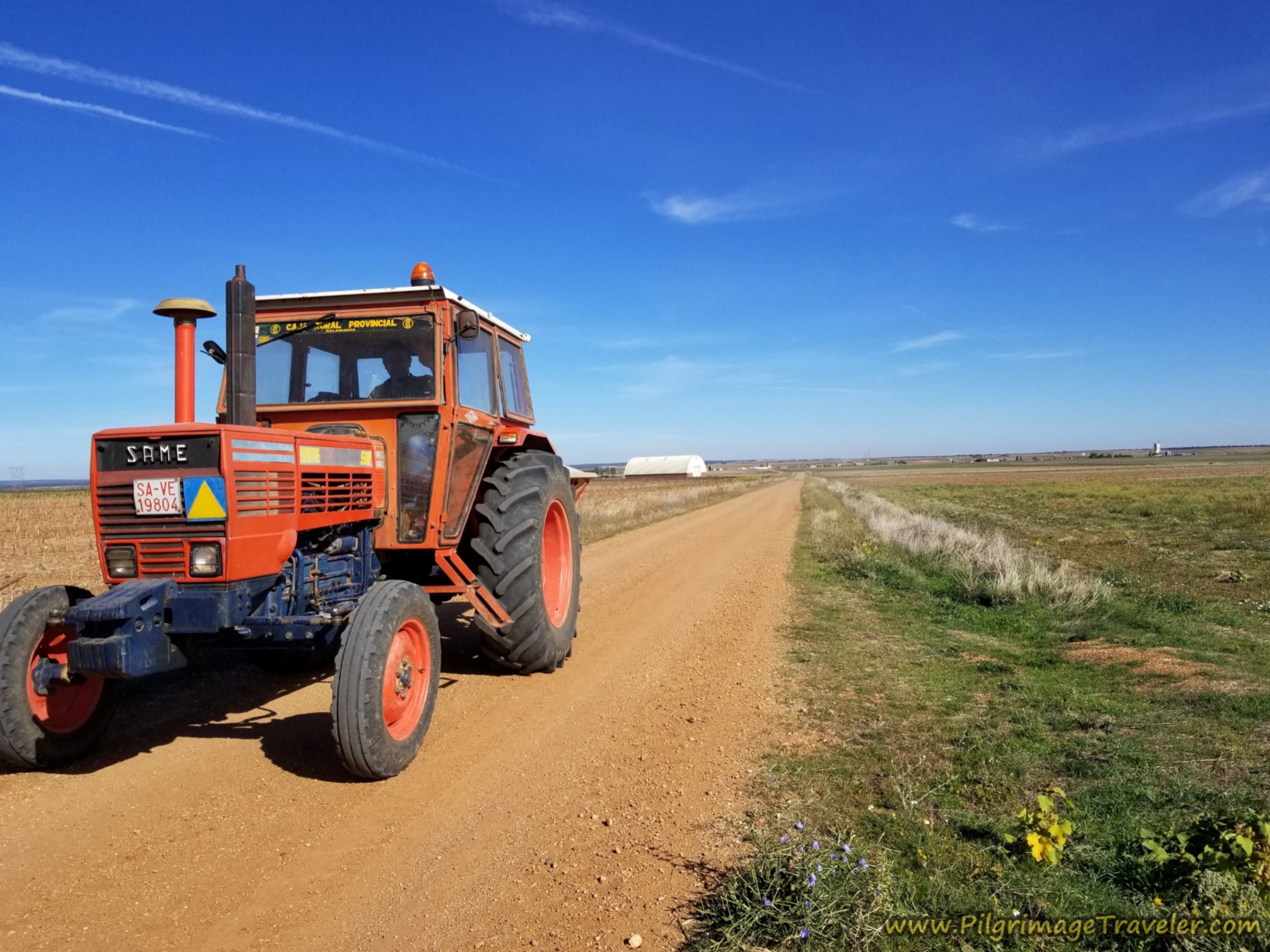
A common sight along this high meseta, was the tractors. The farmer waved to us as we shared the road!
Jump to Vía de la Plata Stages
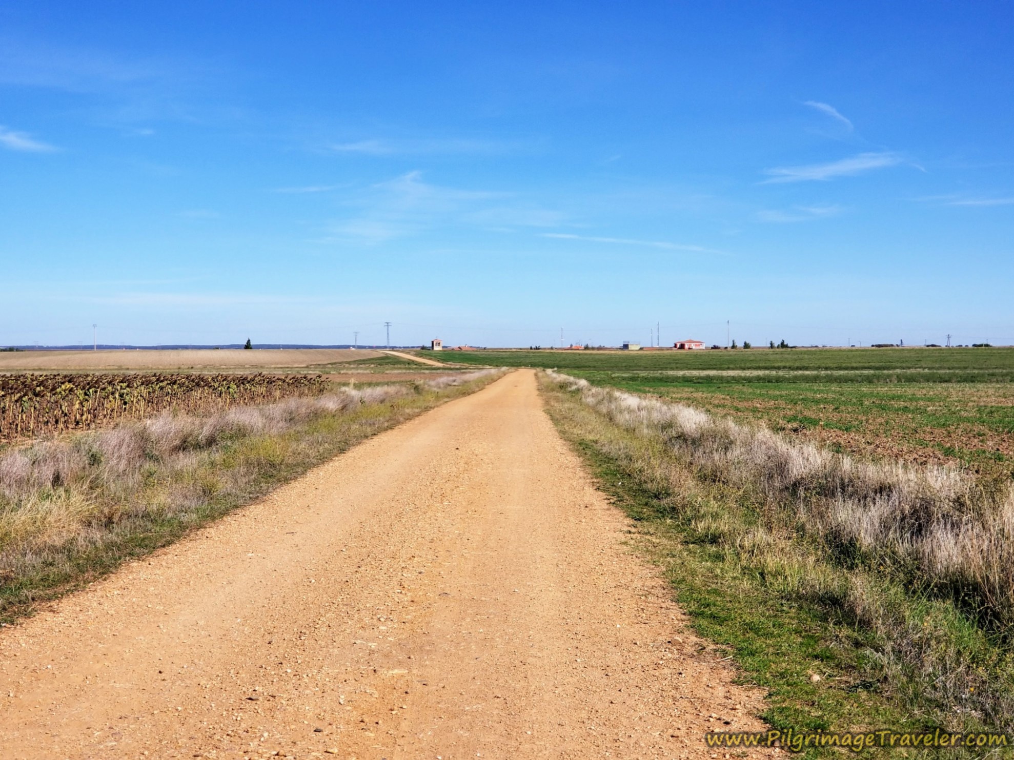
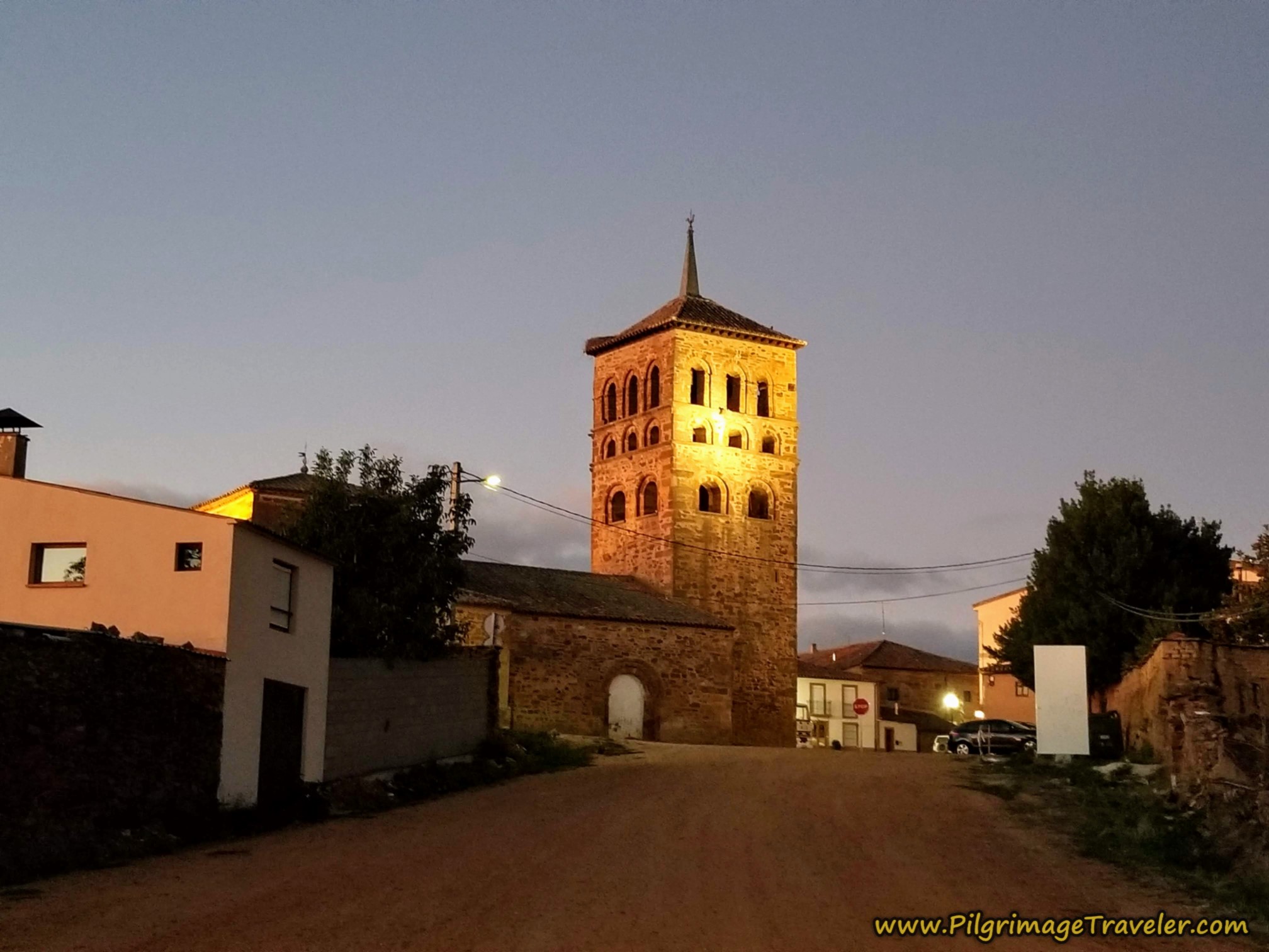
Once again, the next town's church tower, of Calzada de Valdunciel, is visible long before the town itself. But from the vantage point in this photo below, more buildings were in sight.
By a bit less than 16 kilometers, we arrived at the outskirts of town, after crossing over the DSA-510 paved road, shown below. (You can figure the center of town to be about 16 kilometers).
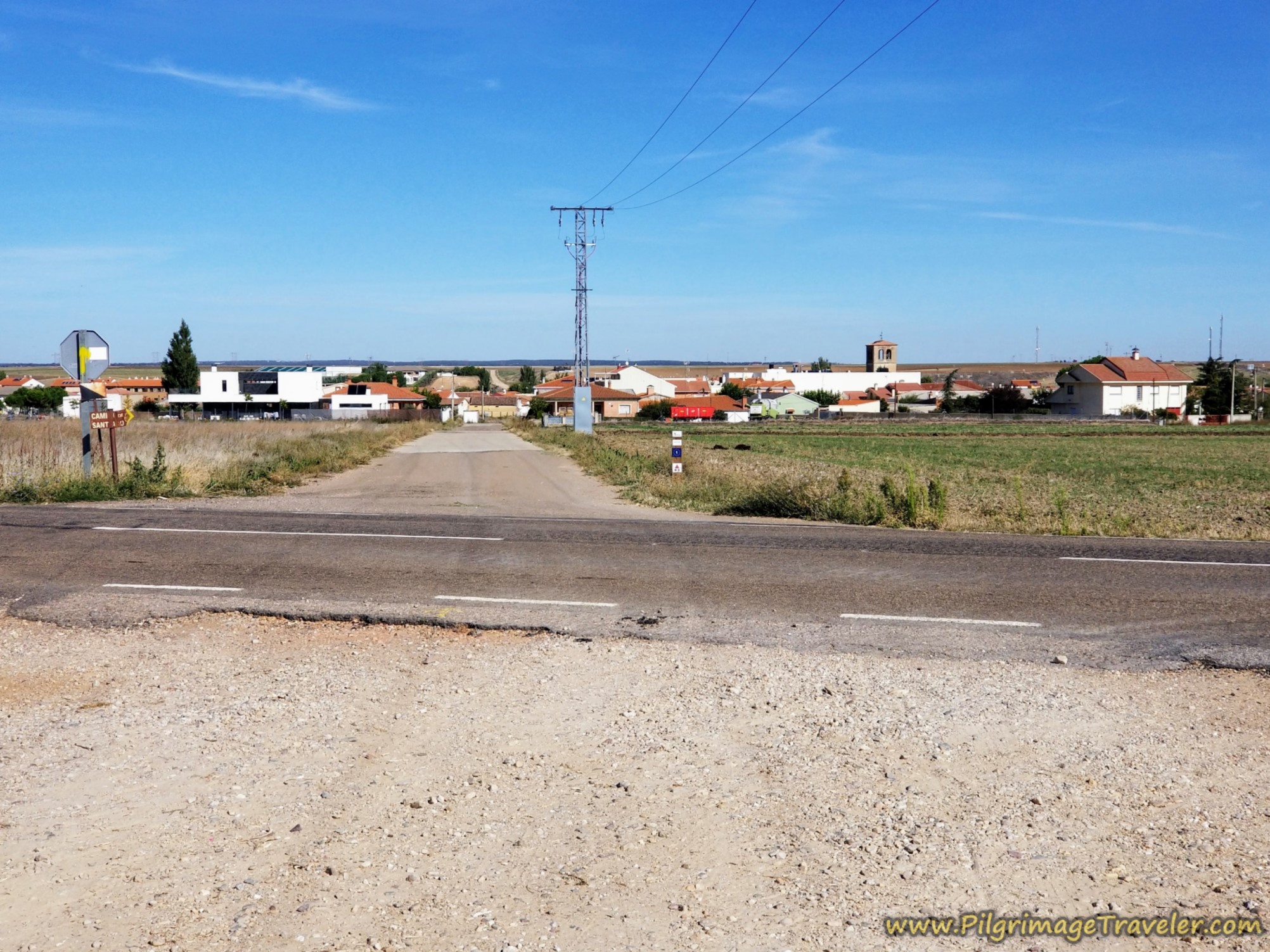 Entering Calzada de Valdunciel
The road into town is called the Calle Carascal, and it will take you to the main square, below, the Plaza de la Constitutión. Take a right turn when the street ends, and circle the square, passing a colorful playground in the center, a public water fountain, and the town hall, the Ayuntamiento de Calzasa de Valdunciel, on the other side.
 Colorful Playground and Town Hall
Just to the east (right) of the main square, within a block are two bars and a minimarket, the Alimentación Valentín. If you were to continue along the main street eastward, the Calle Hidalgos, within one-third kilometer, there is another minimarket, the Alimentación Jesús, which I felt was better, with better produce. These are both great places to restock your pack for the long days ahead.
And a few steps after that there is a wonderful restaurant at the Hostal Restaurante El Pozo, (+34 923 31 01 52). This place also provides reasonably priced accommodation. We had a very good, long lunch at the restaurant, and I can recommend it.
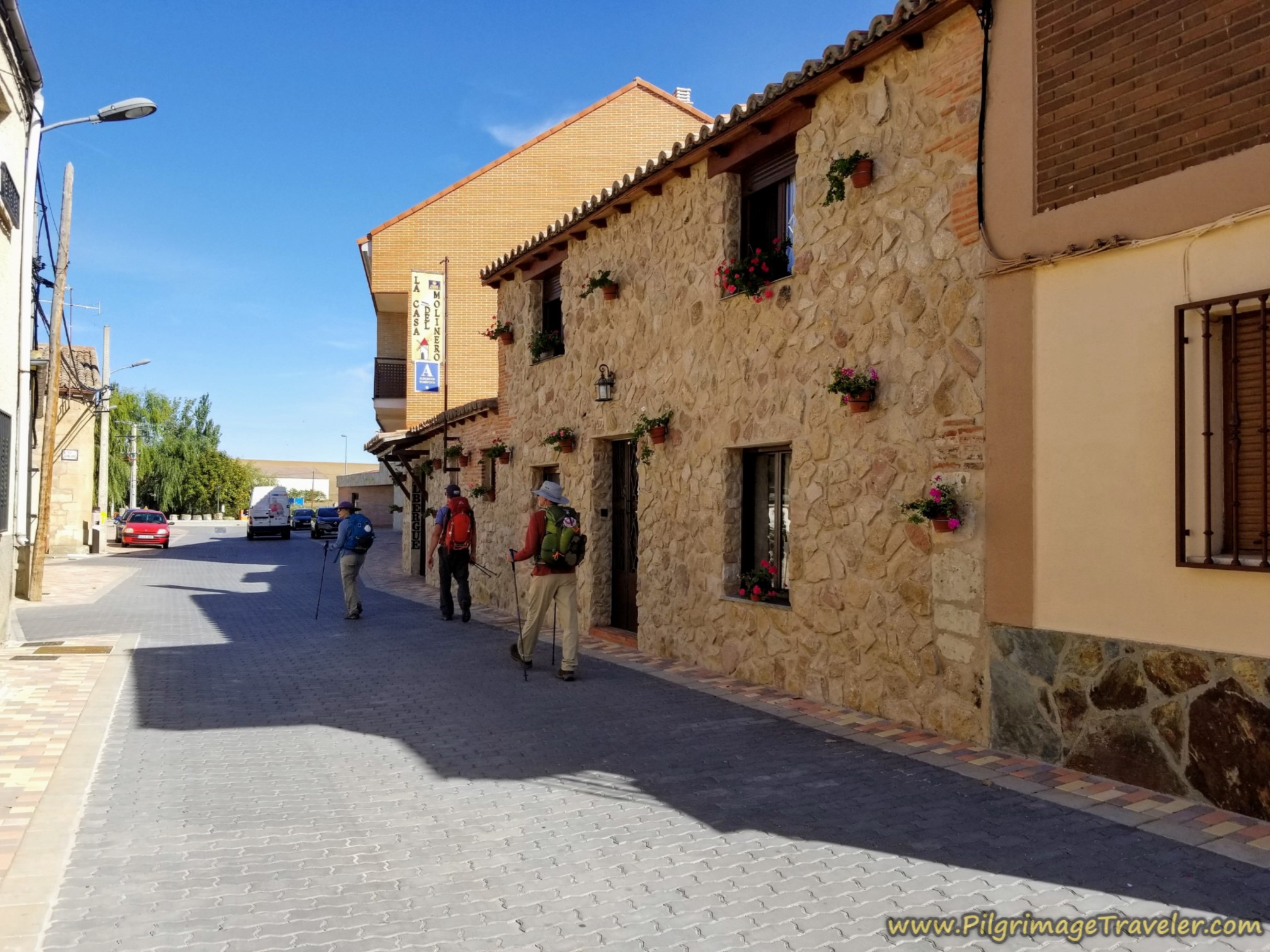
Continuing onward, past the town hall and walking northward, a few meters later is the Casa Rural, La Casa del Molinero, (+34 689 00 85 62), shown below. This place gets very good reviews on Google and it looked lovely as we peered into the courtyard.
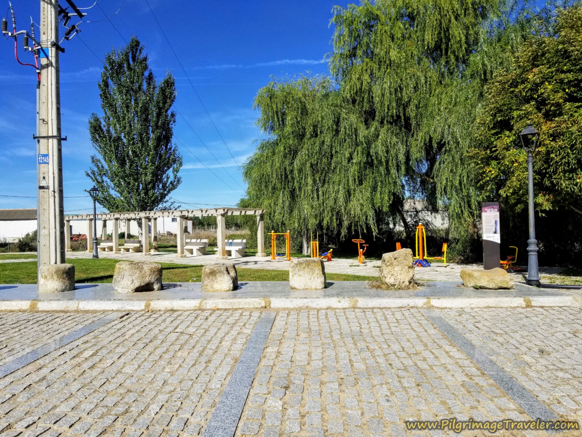
A few more steps later is the Plaza de los Miliarios, with the historic Roman milestones, below. It is also a nice place for a picnic if you do not want to eat at an establishment.
These Roman milestones, found in the area and displayed here, were recently used as stepping stones across the Vega Arroyo, just to the north among the trees in the photo! They were pulled out of the arroyo to be properly displayed and hopefully, better preserved.
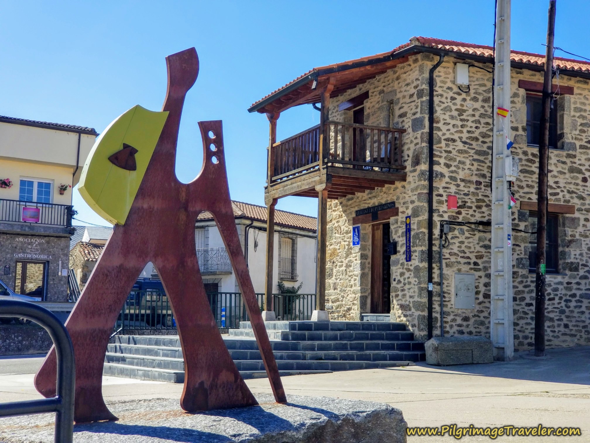
Immediately to the right of the Plaza de los Miliarios, down the street a few meters to the east, is the municipal Albergue de Peregrinos de Calzada de Valdunciel. Contact the hospitalero for the keys at +34 717 70 66 37. You will arrive here after about 16.4 kilometers for the day.
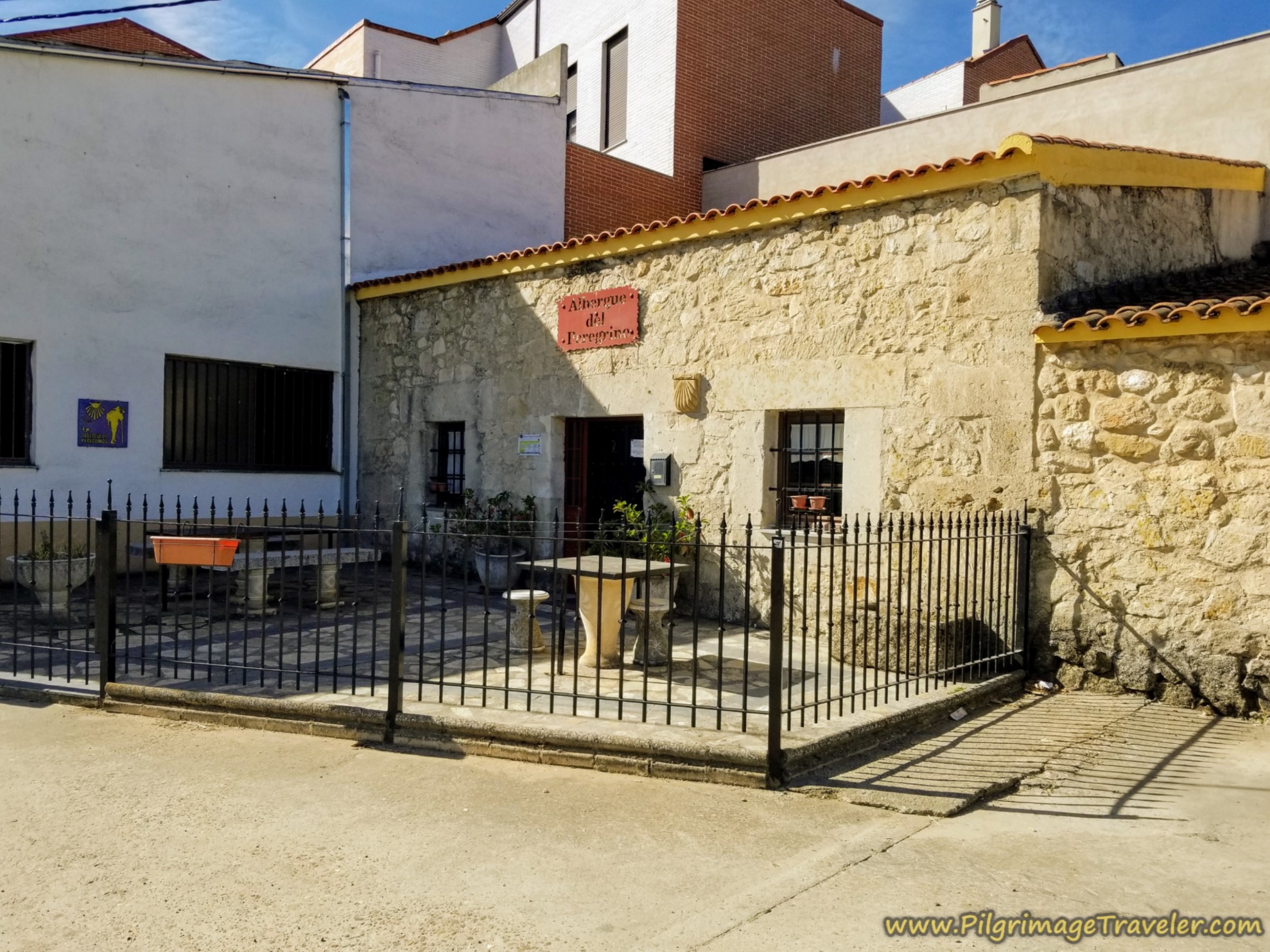
The albergue is cute and cozy, and when we stayed here we were the only ones! It would be a bit tight if more pilgrims had arrived.
The kitchen is quite small, with only a hot plate, so we chose to eat a large lunch in the restaurant. You can cook here, but it would have to be something very simple. We did cook our supper and breakfast the next day.
 Living Area, Albergue de Calzada de Valdunciel
 Dormitory, Albergue de Calzada de Valdunciel
This very short day was a good start to our Via de la Plata. We had an enjoyable and very relaxing long afternoon, to recharge ourselves and prepare for what was to come.
Reflections of Day One on the Vía de la Plata, Salamanca to Calzada de Valdunciel
All-in-all this day went without a glitch. Our winged spirits carried us onward with wings on our feet. Indeed, when the spirit is high, the body follows. We had no reason to complain. We were ready to go the distance.
Salutation
May your own Vía de la Plata from Salamanca to Calzada de Valdunciel find your spirits fueled and your body fueled, so that your heart has wings! Ultreia!
Camino Fonseca Stages
~ Vía de la Plata Stages from Salamanca


~ Camino Sanabrés Stages
Please Consider Showing Your Support
Many readers contact me, Elle, to thank me for all the time and care that I have spent creating this informative website. If you have been truly blessed by my efforts, have not purchased an eBook, yet wish to contribute, I am exeedingly grateful. Thank you!
Search This Website:
The Pilgrimage Traveler Digital Guides
Our Guides Help You:
~ Know what to expect each day!
~ Locate historic sites along the Way!
~ Know where you are in your journey!
~ Discover a quote from the sages, for your daily reflection on the journey!
Click on a Photo Below to Get Your Copy.
A most popular alternative on the Central Route of the Camino Portugués!👇
The Portuguese Routes are rapidly gaining in popularity, especially the section from Lisbon! Plan to walk this one soon, before it is no longer a quiet experience!👇
Our most popular Portuguese guide! 👇
The most historic of the Portuguese Caminos ~ not to be missed!👇
The spiritual adventure of a lifetime, following in the footsteps of St. Teresa of Ávila!👇
The amazing mountain route alternative, the Camino Sanabrés, from Granja de Moreruela on the Vía de la Plata!👇
The most incredible mountain scenery on this camino from Leon to Oviedo!👇
The shortest of the caminos, but not easy!👇
The very first, Original Way from Oviedo to Santiago!👇
The pilgrimage to the "End of the World" ~ The perfect add-on to your camino!👇
All Banners, Amazon, Roamless and Booking.com links on this website are affiliate links. As an associate of these companies, the Pilgrimage Traveler website will earn from qualifying purchases when you click on these links. We have used and love all of our product recommendations and believe you will too! We sincerely thank you!

🙋♀️ Why Trust Us at the Pilgrimage Traveler?
We’re not a travel agency ~ we’re fellow pilgrims! (See About Us)
We've trekked Pilgrimage Routes Across Europe since 2014!
💬 We’ve:
- Gotten lost so you don’t have to. 😉
- Followed waymarks in the glowing sunlight, the pouring rain and by moonlight. ☀️🌧️🌙
- Slept in albergues, hostels & casa rurals. Ate and drank in cafés along the way. 🛌 😴
- Created comprehensive and downloadable GPS maps and eBook Guides, full of must-have information based on real pilgrimage travels. 🧭 🗺️
- Shared our complete journeys, step by step to help YOU plan your ultimate pilgrimage and walk with your own Heart and Soul. 💙✨
Every detail is from our own experiences. Just fellow pilgrims sharing the Way. We have added a touch of spirituality, heartfelt insights and practical guidance from the road ~ offering a genuine connection to the spirit of pilgrimage. Tap into the wisdom of seasoned pilgrims!
Ultreia and Safe Pilgrimage Travels, Caminante! 💫 💚 🤍
Follow Me on Pinterest:
Find the Pilgrimage Traveler on Facebook:

Shroud Yourself in Mystery, along the Via de Francesco!
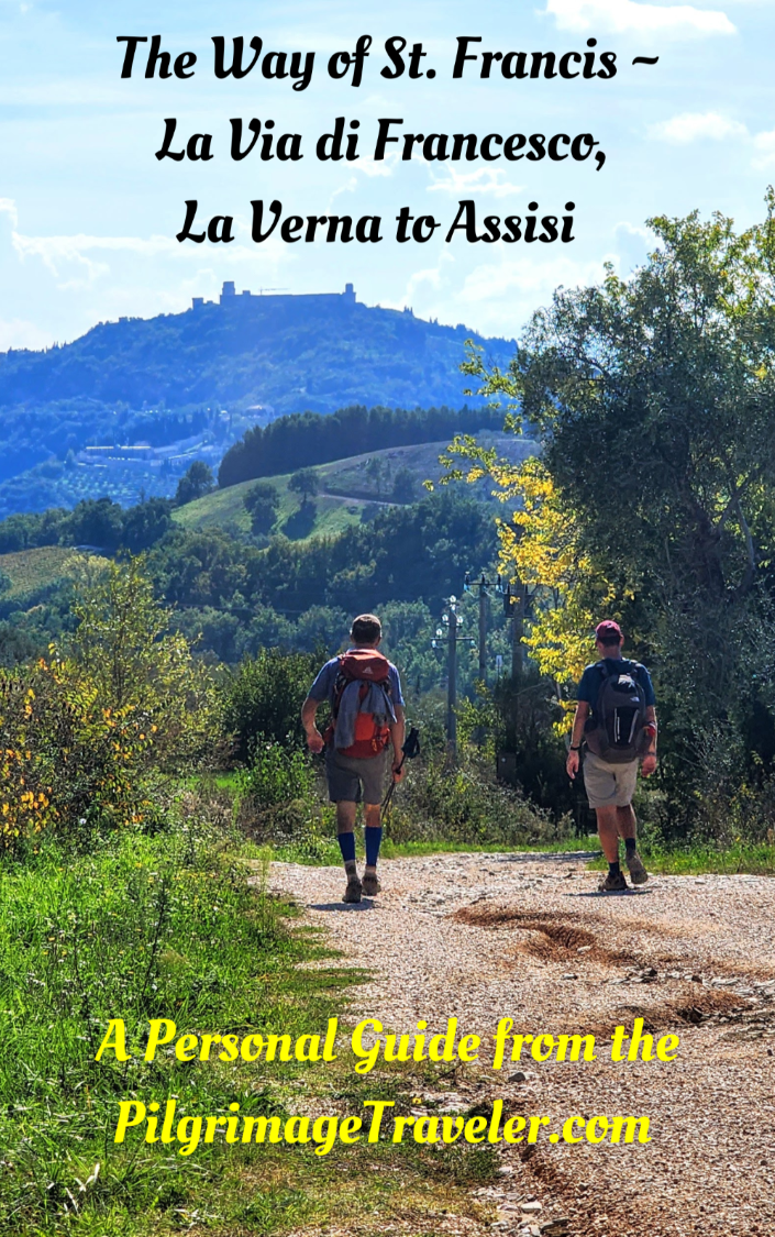
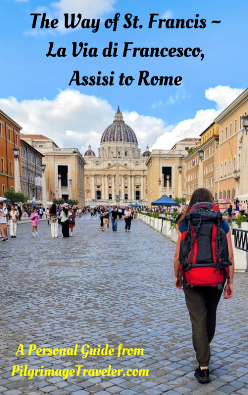
Walk in the Footsteps of St. Francis, and Connect Deeply with the Saint and to Nature in the Marvelous Italian Countryside!
Need suggestions on what to pack for your next pilgrimage? Click Here or on the photo below!


Carbon Trekking Poles ~ My Favorites!
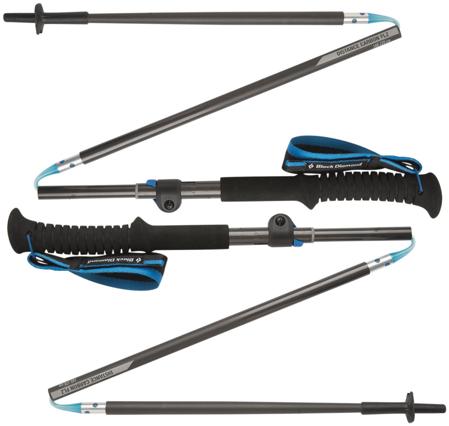
Carbon fiber construction (not aluminum) in a trekking pole makes them ultra lightweight. We like the Z-Pole style from Black Diamond so we can hide our poles in our pack from potential thieves before getting to our albergue! There are many to choose from! (See more of our gear recommendations! )
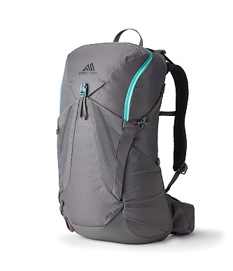
Gregory BackPack ~ My Favorite Brand
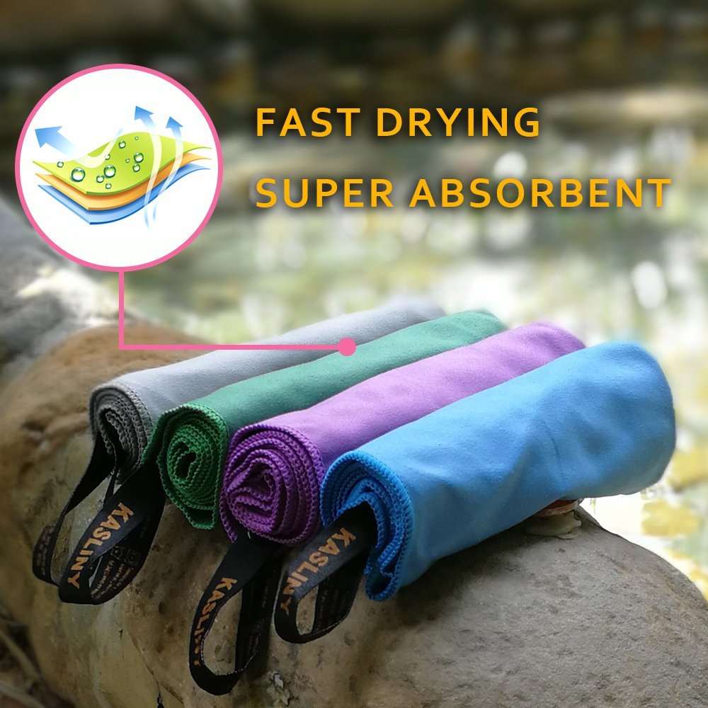
Do not forget your quick-dry microfiber towel!