- ~ Home
- ~ Camino Sanabrés (The Sanabrés Way)
- Ourense to Cea via Canedo, Day Thirteen
Jump to Camino Sanabrés Stages
Camino Sanabrés, Ourense to Cea, Day Thirteen, via Canedo, 21.2 Kilometers (13.2 Miles)
Our day thirteen on the Camino Sanabres from Ourense to Cea, via the Canedo Route consisted of the infamous Costa de Canedo climb, followed by multiple serene forest walks along many medieval roads.
🙋♀️ Why Trust Us at the Pilgrimage Traveler?
We’re not a travel agency ~ we’re fellow pilgrims! (See About Us)
We've trekked Pilgrimage Routes Across Europe since 2014!
💬 We’ve:
- Gotten lost so you don’t have to. 😉
- Followed waymarks in the glowing sunlight, the pouring rain and by moonlight. ☀️🌧️🌙
- Slept in albergues, hostels & casa rurals. Ate and drank in cafés along the way. 🛌 😴
- Created comprehensive and downloadable GPS maps and eBook Guides, full of must-have information based on real pilgrimage travels. 🧭 🗺️
- Shared our complete journeys, step by step to help YOU plan your ultimate pilgrimage and walk with your own Heart and Soul. 💙✨
Every detail is from our own experiences. Just fellow pilgrims sharing the Way. We have added a touch of spirituality, heartfelt insights and practical guidance from the road ~ offering a genuine connection to the spirit of pilgrimage. Tap into the wisdom of seasoned pilgrims!
Ultreia and Safe Pilgrimage Travels, Caminante! 💫 💚 🤍
Quote for Day Thirteen on the Camino Sanabrés, Ourense to Cea via Canedo
“You don't need to be the strongest or the fastest. You just need to be the one who refuses to quit.” ” ~ Jimmy Chin, elite mountain climber, National Geographic photographer, and Academy Award-winning film director
This is a great quote for the day! While none of us are elite climbers, we can be the ones who refuse to quit, when the steep Costa de Canedo climb really shouts loudly for us to stop!
However, despite the initial climb, I really enjoyed this route! The long walk through the countryside on medieval roads and on rural lanes was charming indeed!
Maps and Stats of Day Thirteen on the Camino Sanabrés, Ourense to Cea via Canedo
Here is our interactive map of the day on the route via Canedo, the western most route shown on the map in blue. This is an officially waymarked route, and even though it is often listed as the alternative to the Tamallancos route, I feel it is indeed a route worthy onto itself.
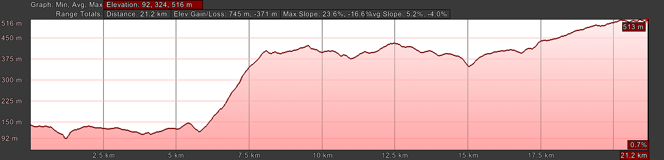
The beauty of this route, is that it is shorter, but only by about one kilometer, and secondly, once you get the steep climb out of the way, after 8.0 kilometers (5.0 miles) the rest of the day is essentially flat. There is a final climb into Casas Novas, but at about 145 meters (500 feet) over a long 4.0 kilometers, it doesn't feel like a lot.
There are few services on the Canedo route as you can see on the interactive map below.
There is only one bar along the route after you leave Ourense, after about 15.6 kilometers in the town of Mantras, and not again until Casas Novas, after 19.4 kilometers, when the two routes converge near the end of the stage. If you do this route via Canedo, stock your pack! Especially in the event none of the bars are open - which happens a lot, especially on Sundays, Mondays or Tuesdays!
In the elevation profile shown next, you can see there is a long walk initially through Ourense and its suburbs of about 5.0 kilometers, on the flat.
Then it is followed by the short and steep Costa de Canedo climb up from the river, of 285 meters (935 feet) over 2.3 kilometers (1.5 miles), along a scenic country asphalt road through the forest.
You will really feel this climb! And to make matters worse, it is along a paved road where lots of cars are zooming by during rush hour, to get to work in Ourense! Stay very alert along this section!
And as already noted, the remaining walk until Casas Novas, a long, gradual climb to where the two routes meet after 19.3 kilometers, is on lovely rural country lanes, often historic medieval paths. You will also cross a historic bridge to add to the charm.
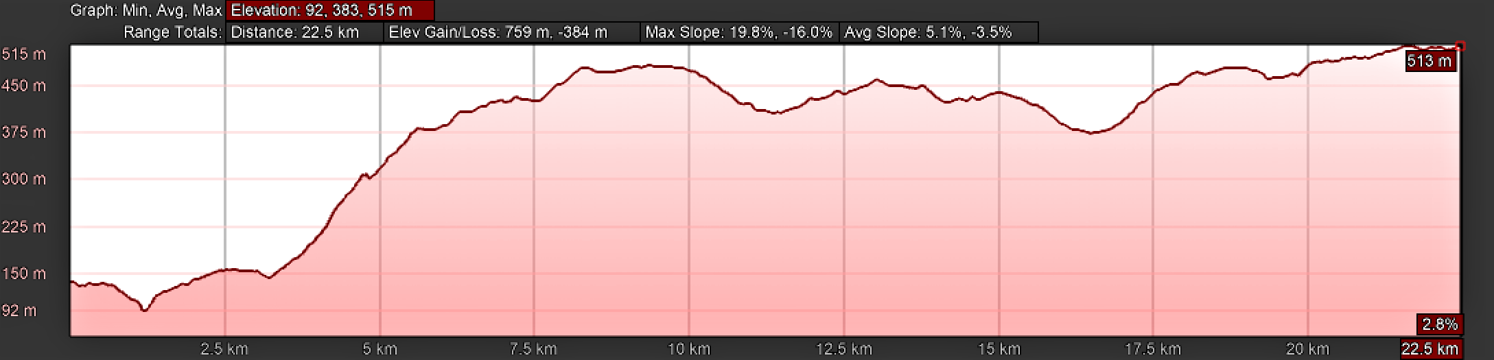
For your information and reference, below is the elevation profile for the alternative route via Tamallancos for comparison.
As you can see from the elevation profile, it is a long climb, but not as steep, of 350 meters (1150 feet) over eight kilometers, up from the Minho River in Ourense to the altitude top.
The next eight kilometers are essentially downhill, all the way to the medieval bridge at Ponte Sobreira, the depression shown below at about 16.5 kilometers. Then the final six kilometers are a much less strenuous climb to Cea, the destination for the day.
Comparing the two routes, I feel that maybe the Tamallancos route edges out this route through Canedo - but not by much!
The climb on the Tamallancos route is less steep, but longer. I also enjoyed the walk through the medieval towns during the climb.
However, on the Canedo route, once the short and steep climb up the Costa de Canedo is finished, the intimacy of the forest walk with fewer pilgrims, connecting to nature and walking on enchanting medieval roads, was sublime!
Choose your own way wisely! Or, as I always say, bus back to Ourense and do them both!
👣 Camino Sanabrés EBook:
Offline Guide with Bonus Route
~ Includes 4-5 additional days on the Vía de la Plata from Salamanca!
Walk smarter with our ad-free, beautifully formatted Camino Sanabrés eBook Guide, perfect for offline use ~ important in the mountainous and remote areas. Includes daily stage details, stunning photos, historical background and a BONUS digital guide on the Vía de la Plata from Salamanca, called the Camino Fonseca. This allows you the opportunity to add 4-5 more days to your Camino in the beginning.
Don't carry a hard copy guide book to increase your pack weight. Use our frequently updated digital guide on your next Camino instead!
📲 Instant download. 💸 Money-back guarantee. 🔄 Free updates for 1 year.
👉 Click here for more info or BUY NOW!
Jump to Camino Sanabrés Stages
Photo-Rich Travelogue for Day Thirteen on the Camino Sanabrés, Ourense to Cea via Canedo
We had our breakfast before dawn in our apartment just north of the Cathedral of Ourense. I double backed to the cathedral, where I started my geotracking.
From the west side of the cathedral, on the Praza San Martíno, head north along the Rúa Arcedianos for only a few meters to the first intersection. Turn left into the Praza de Santa Eufemia, and see the lovely Church of Santa Eufemia looming before you. There are bronze shells through here, on the sidewalk to guide you.
Turn right in front of the Santa Eufemia church and proceed northward through town along a wonderful pedestrian street called the Rúa Lamas Carvajal. It was quiet and almost deserted for us, walking just before sunrise.
A few meters later, come to an open plaza with a column sculpture with a nymph (?) on the top, riding a bird. Continue straight through the plaza now onto the Rúa do Paseo.
At the next intersection, pass a bronze sculpture of a peasant woman, holding milk jugs. There is a bronze scallop shell on the pavement next to her, indicating you continue straight. And pictured next is how it looked along the Rúa do Paseo after the bronze woman.
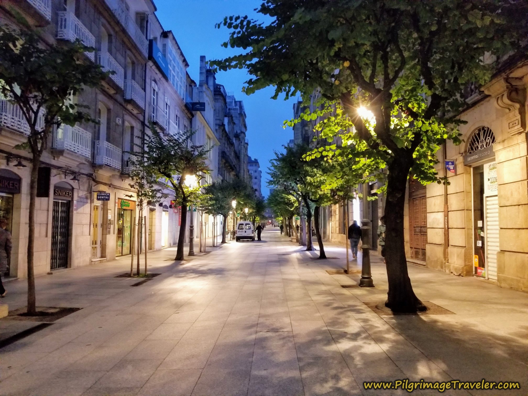
After about 1/2 kilometer, come to the huge park, the Parque de San Lázaro on the right-sided corner, and turn left onto the Rúa do Concello. There is a funky bronze sculpture of two men sitting on a car, in the left corner, that you can barely make out in the left side of the photo below, by the blue light.
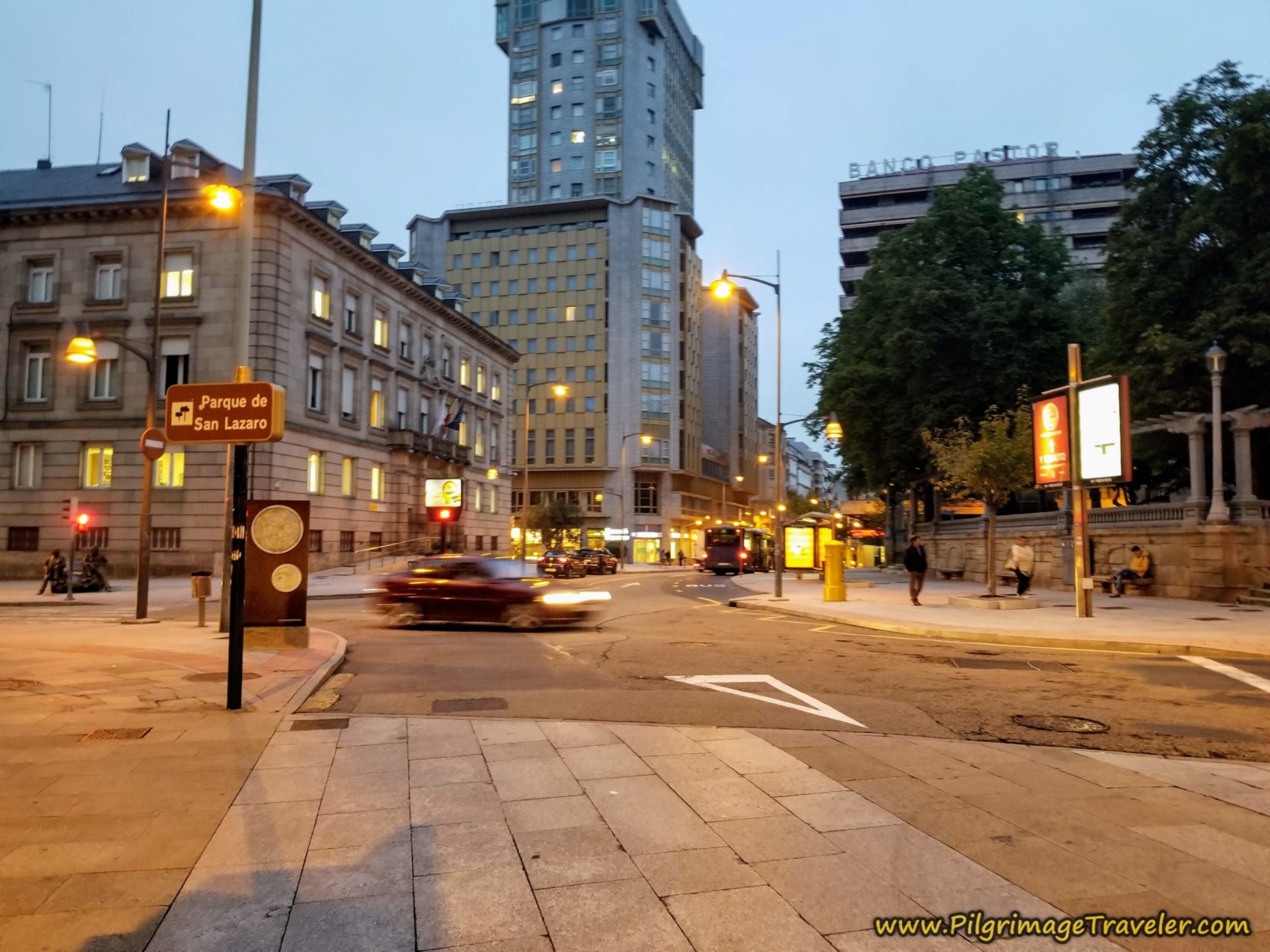 Left Turn at the Parque de San Lázaro
After about another 1/4 kilometer and passing more shell waymarks on the pavement, but now blue and yellow (see next photo below), come to this plaza, the Plaza Concepción Arenal. Stay to the right or east side of the plaza. You cross the street in front of the murals and walk past the church, shown below. You can see the Roman bridge ahead. That is your destination.
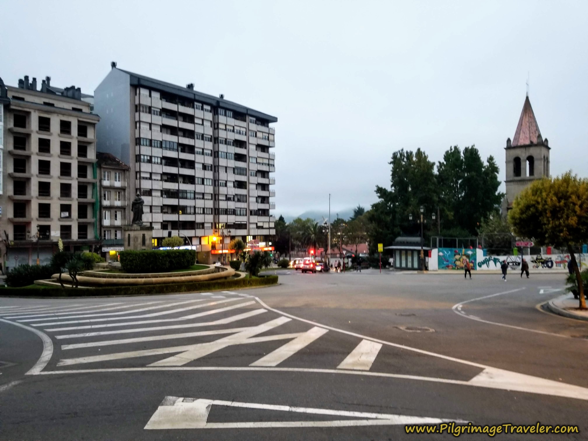 Stay to the Right at the Plaza Concepción Arenal
After you cross the plaza and pass the church, you will see this street waymark on the Rúa do Progreso in front of the Colexio Salesianos building. This college houses a bilingual school. You can now clearly see the Roman bridge in front of you.
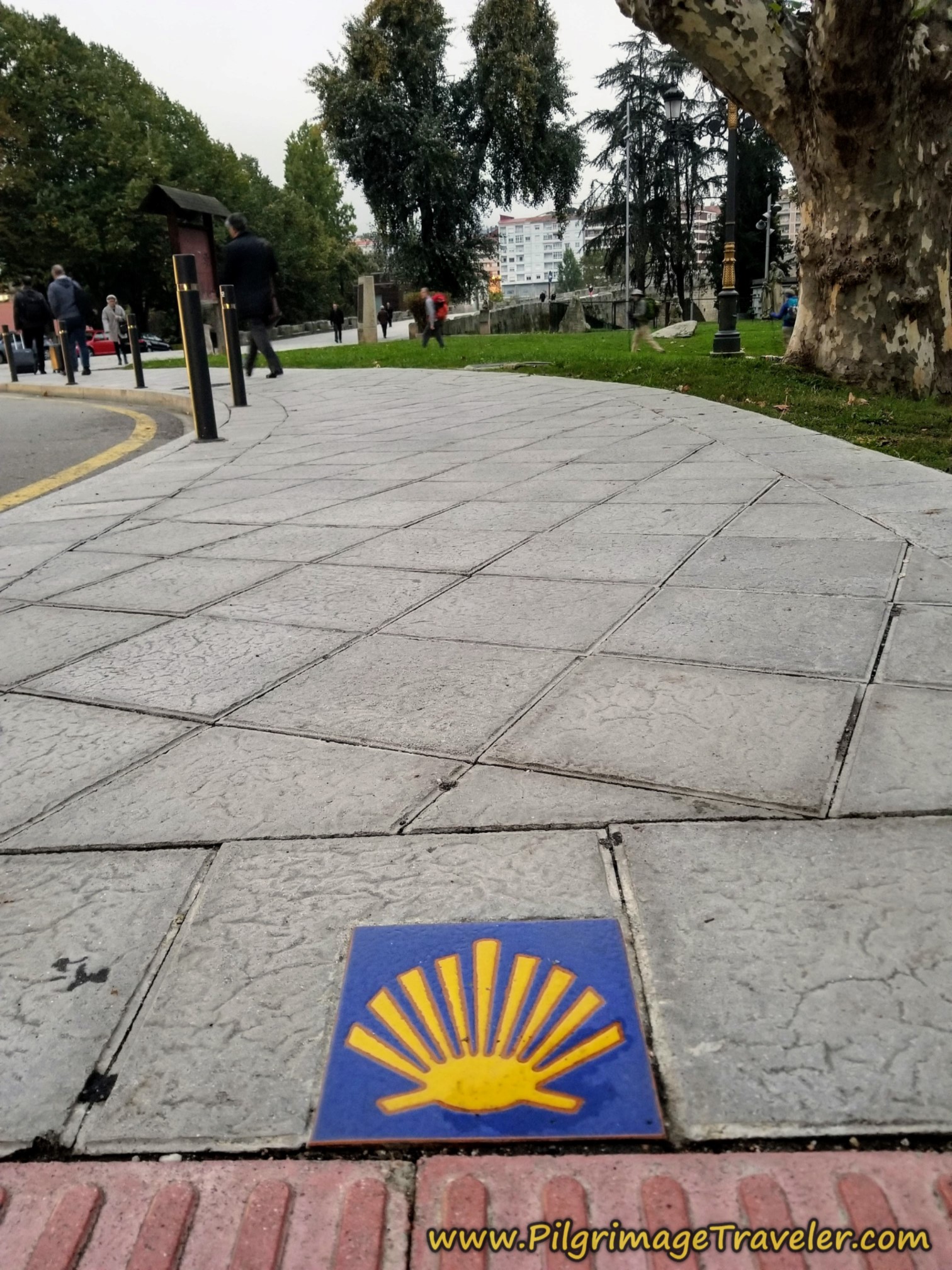 Street Waymark by the College, Before the Roman Bridge
The bridge, the Ponte Romana de Ourense is a glorious sight. I included a photo of the bridge in the daylight, to better take in its wonders.
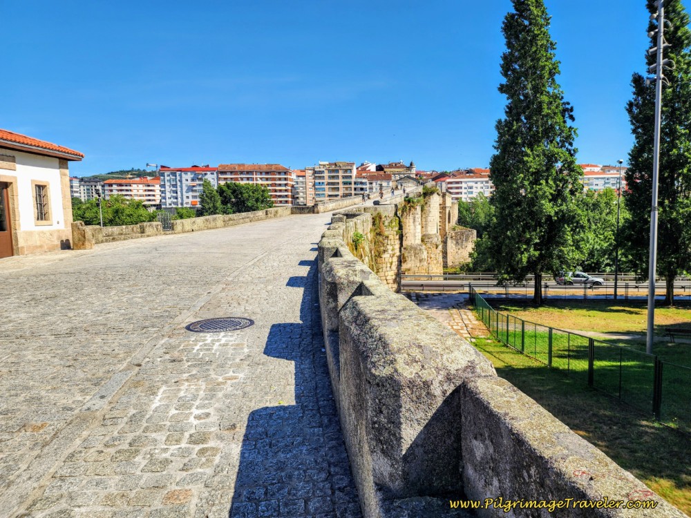
After crossing the bridge, join the Avenida das Caldas on the other side and continue straight and up the long hill, following the prominent camino sign.
About 300 meters after the Roman bridge, you come to this intersection shown below, again taken in the daylight, with camino signage and a Nicanor Carballo carving that shows you the two choices of routes that you have from this point. If you go straight, this is the route via Canedo, the one that you want.
If you are taking the route via Tamallancos, you turn right here and onto the N525, called the Avenida de Santiago. Click on the link for a continuation of the description for this route.
Rich and I separated here - he to walk the Tamallancos Way and I was going via Canedo.
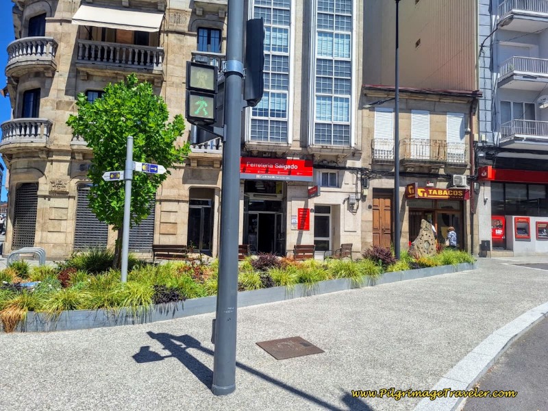 Divergence of the Canedo and Tamallancos Routes
Jump to Camino Sanabrés Stages
The Way continues straight along the Avenida las Caldas and up the hill. After one long block of 1/4 kilometer beyond the divergence in routes, I arrived at a large roundabout, intersecting with the C-535. There is a nice cafeteria on the corner called La Rotunda, not pictured, which was open at 6:30 a.m. when I walked by.
You can see the train station from across the roundabout. Stay to the left and join the C-535. Pass the train station after about 1.9 kilometers from the Cathedral at the start of the day.
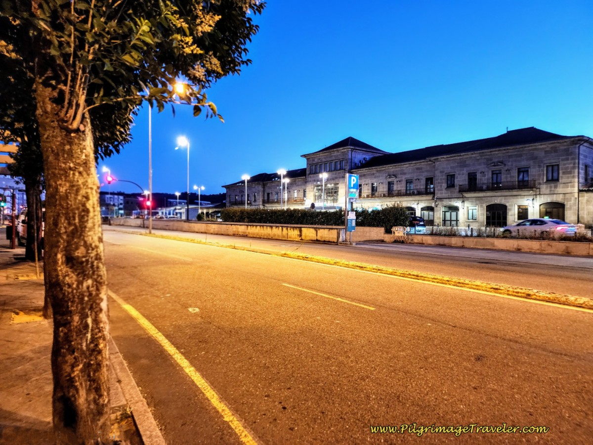 Pass the Ourense Train Station
Just across from the train station is an old locomotive on display! Immediately after passing the train station building, you will see the bus station. This is quite the transportation hub!
Continue along the C-535 until it takes a large bend to the left at another large roundabout. The Camino continues straight, here at this intersection shown next and onto the Calle Río Arnoya.
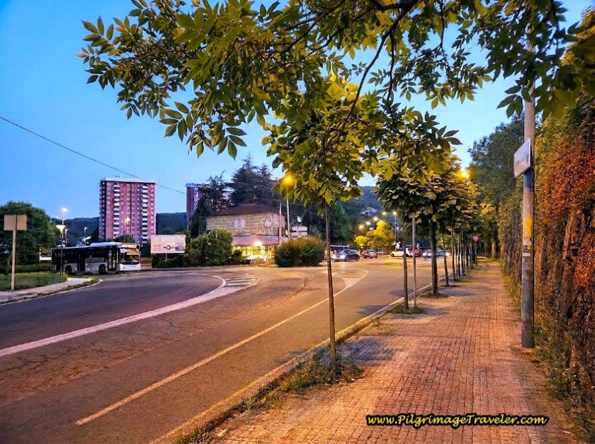 Continue Straight at Roundabout Onto the Rúa Río Arnoya
After walking past the intersection, across the street you will see a sign with a blue shell and arrow pointing straight ahead - use the cross walk in front of the sign and cross over to the left side. Walk only a few meters when a colorful fenceline appears, and where the road bends sharply to the right, and goes through a tunnel, see photo below.
Look for the mojón just before the tunnel, directing you to the left, with kilometer 102.656 on it!
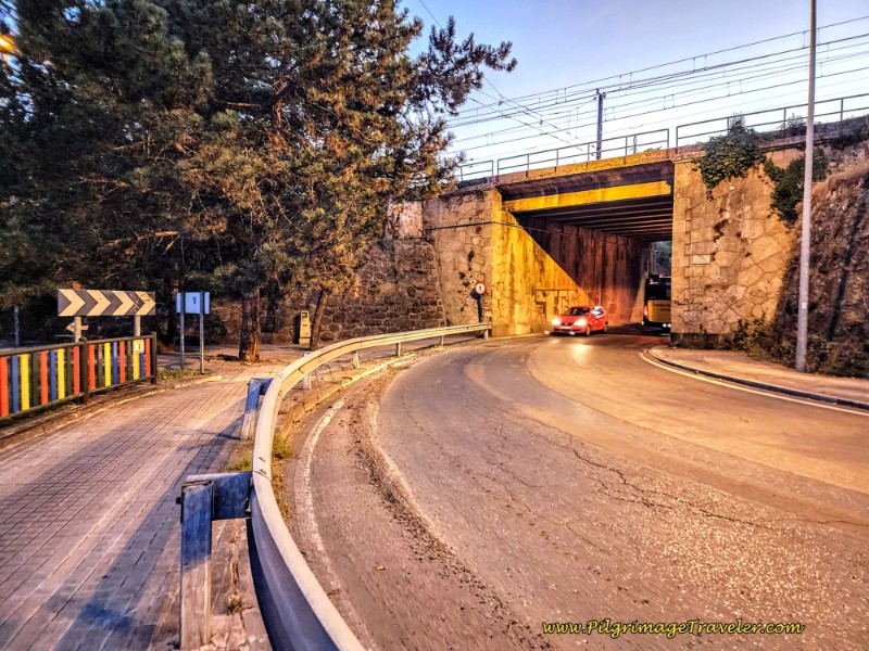 Turn Left at Waymark Before the Tunnel
Turn onto a lovely promenade that takes you by the child's playground, a "parque infantil." As you can see in the photo below, there is also a nice water fountain here if you need a fill up.
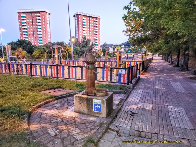 Walk Through Parque Infantil on Promenade
After walking through the playground, the Camino joins the sidewalk of the N-120, or the Carretera Vigo as it bends toward a more westward direction.
You will now follow this roadway for about the next 2.0 kilometers. It is a straight shot through the northern area of Ourense and Vilanova.
As you enter this industrial area pass the Hotel Mabú, pictured below. You will also pass many cafés that will be open along this area. It is your last chance to get something until Mantras, about 13 kilometers away.
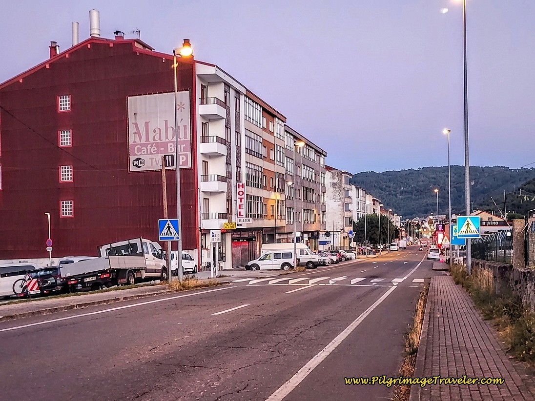 Along the Carretera Vigo, N-120
A few steps beyond the hotel, I saw the 101.961 kilometer waymark. There are also many yellow arrows as well as the official camino signage with the blue shells/yellow arrow along this highway.
Farther along you will even catch glimpses of the Minho River on your left. If you are not already walking on the right side of the road, cross over to it. When you see the river, that is your cue that you will be making a turn soon.
Arrive at a prominent Y-intersection, shown below, after approximately 4.7 kilometers from the cathedral. This is where the Camino stays to the right, toward the direction of Castro de Beiro. Note the obvious Camino sign in front of the funky brown building with an overhang, in the center of the Y-intersection. You have now joined the OU-0520 or the Carretera Castro de Beiro. You are also leaving Vilanova and entering the next town of Quintela.
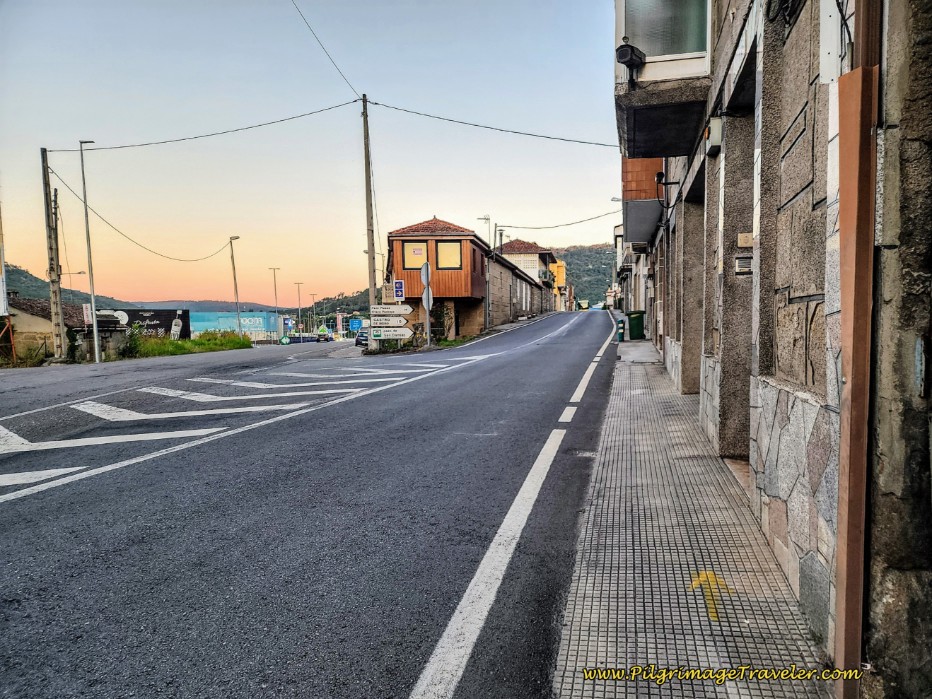 Leave N-120, Carretera Vigo at Y-Intersection
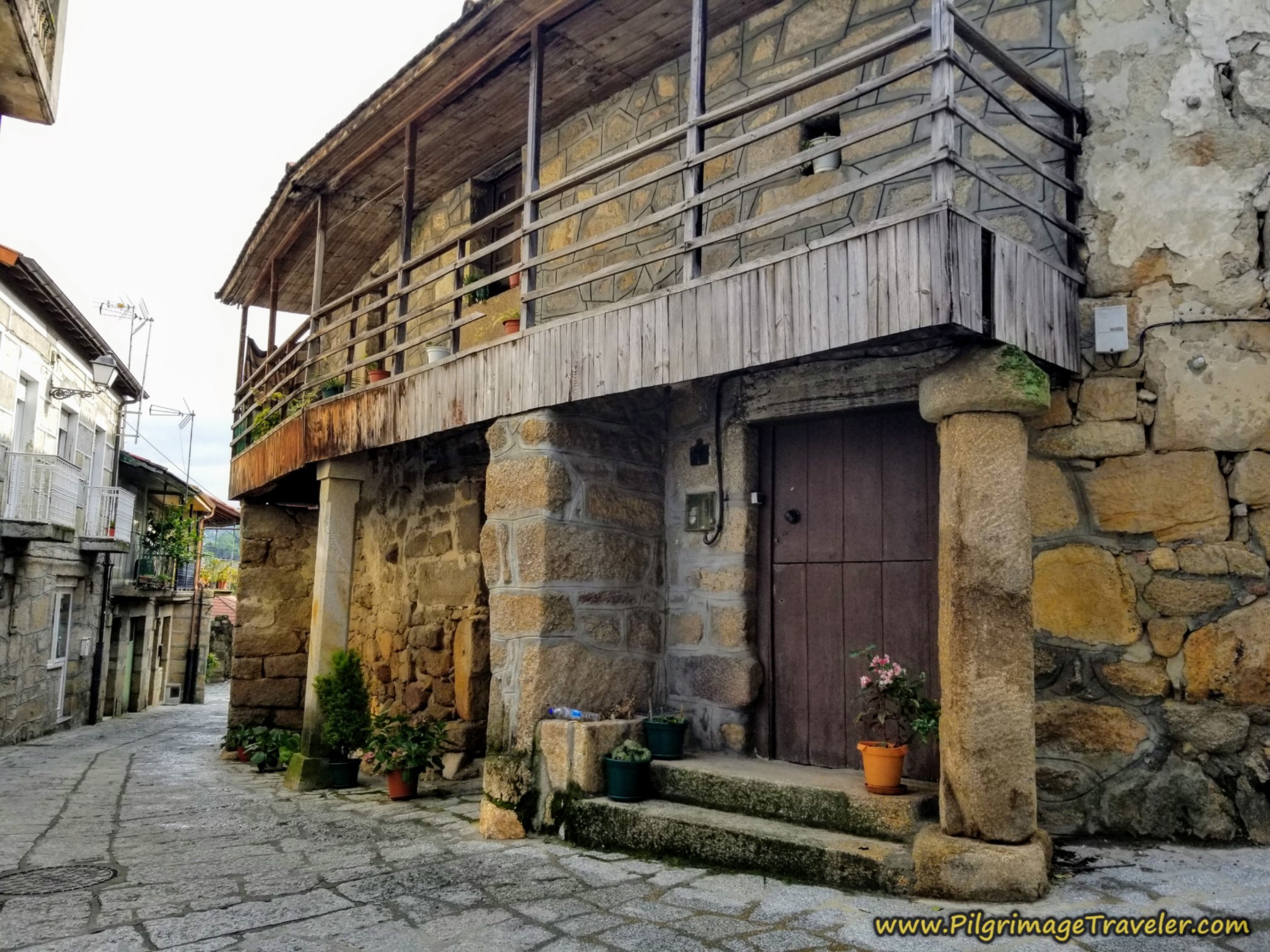
As you walk through Quintela, notice the historic homes with concrete "corridors," created by overhead balconies or "corredores." This common medieval architectural feature protects pedestrians from the frequent rains, see photo farther below.
When the roadway takes a long, prominent bend to the right and northwards, you will be walking through some industry. Cross to the left side of the road to continue along the sidewalk as the roadway climbs a bit.
After about 2/3 kilometer, and at the top of the hill, come to another prominent Y-intersection and this time you will keep to the left. The road signs are pointing toward Outarelo, Beiro and the dreaded Costiña (or Costa) de Canedo.
You are now leaving the industrial buildings, and heading for the high overhead railroad viaduct that you can see in the background of the photo below.
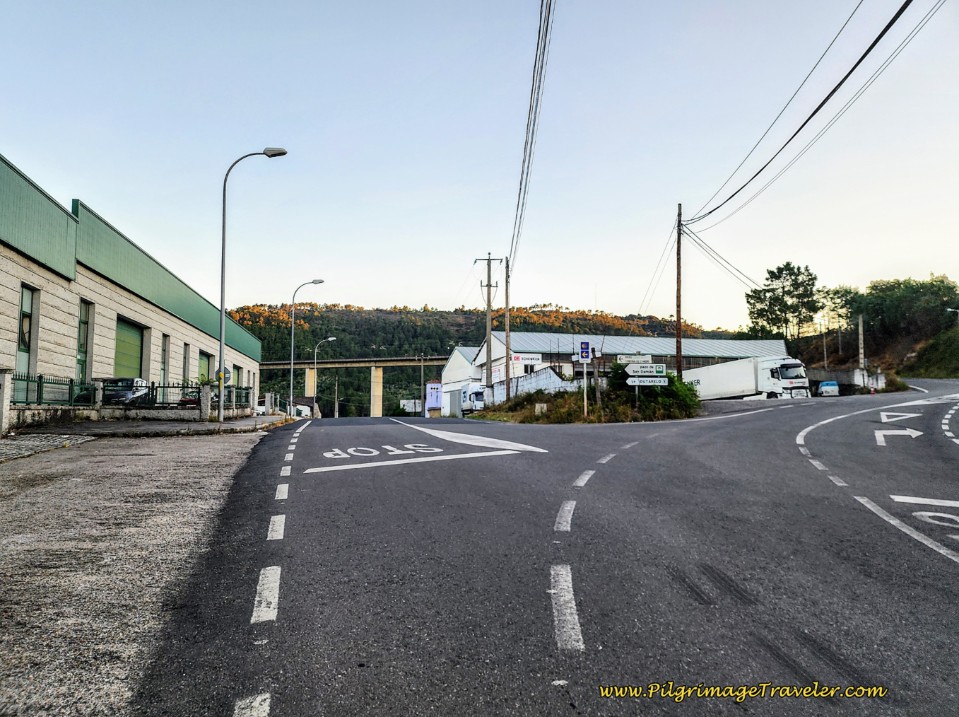 Stay Left at Next Y-intersection
It is a downhill stroll to walk under the viaduct and to cross a small stream on the signed bridge, the Ponte Ceballos. You can see a traditional railway tunnel ahead.
When you arrive at the tunnel, after 5.9 kilometers into the day, proceed carefully through this single-lane bottleneck!
This is an important landmark, because the nice downhill has ended and the tunnel marks the beginning of your climb up the Costa de Canedo!
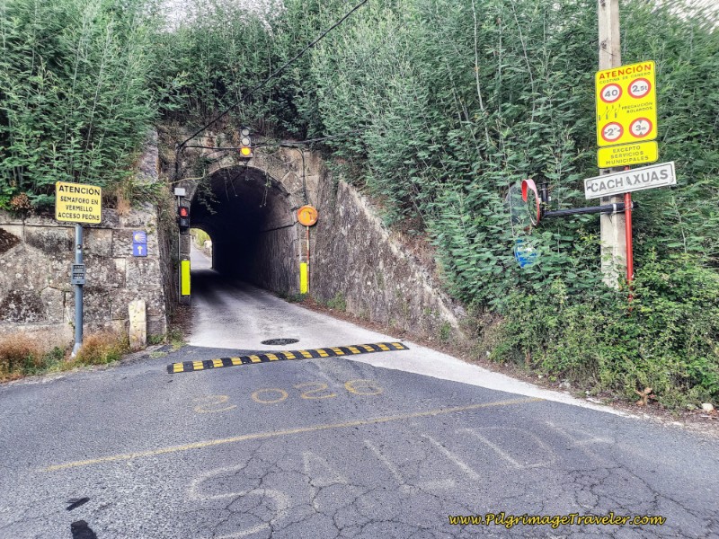 Carefully Walk Through Railroad Tunnel
After the tunnel, walk by more very quaint buildings with corredores and a nice water fountain. In the photo below, notice an antique washing well ahead in the background, in the hamlet of Cachaxúas. Pass by this washing well with yet another water fountain. These are essentially the last buildings you will see on the long climb.
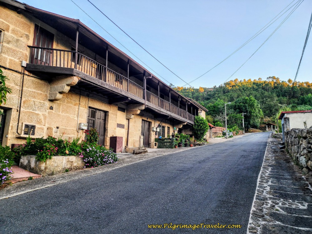 Corredores and Water Fountain Along the Costa de Canedo
Just beyond this washing well, pass by the 99.144 waymark. I never did see a waymark with the 100 kilometer marking on it!
Next, pass an entrance sign for the town of Requeixo, with a turn to the right, but I didn't see any buildings.
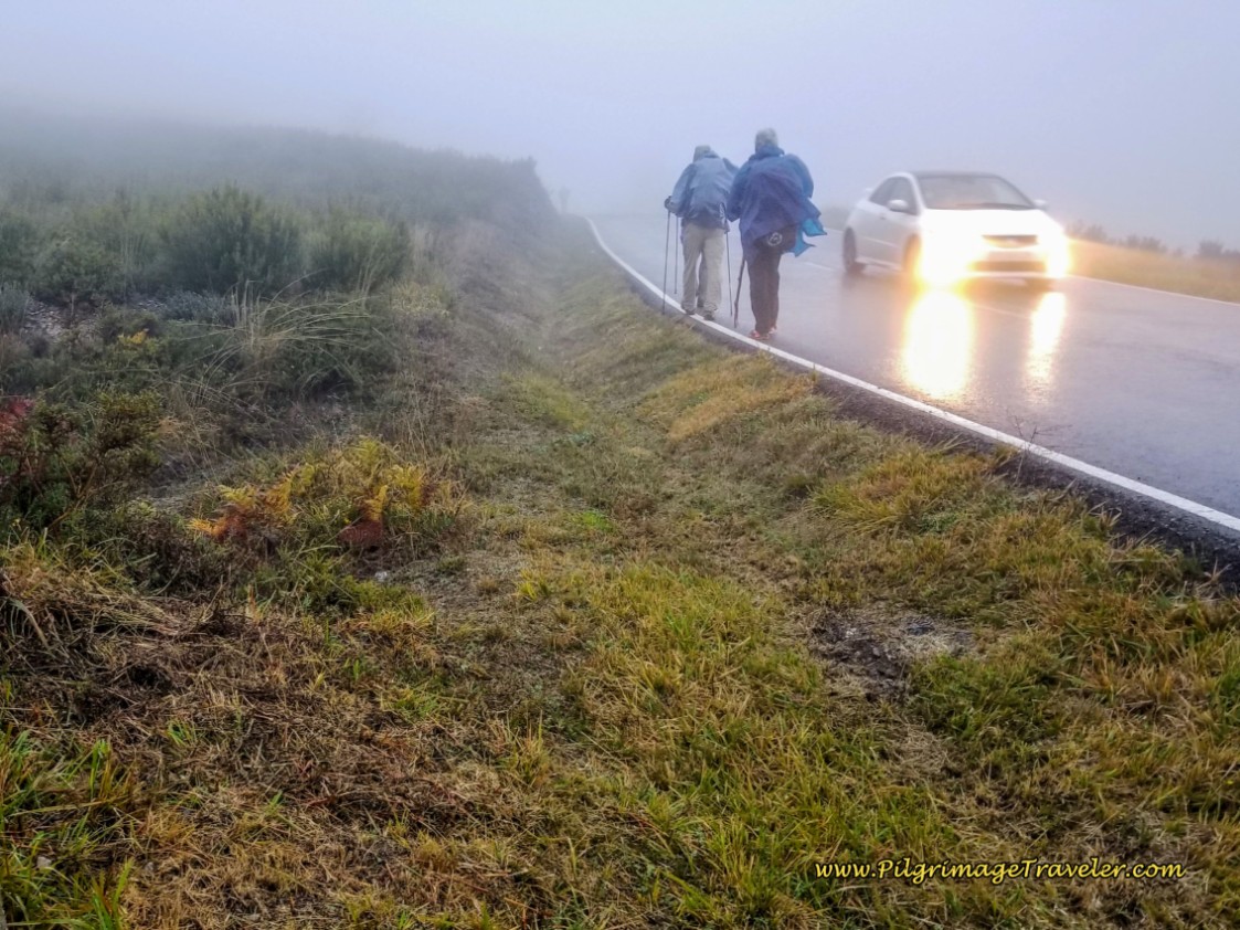
Even though the next photo doesn't show any cars, trust me when I tell you that there were a significant number of them, rushing down the mountain into Ourense! Stay to the left side and be very, very careful on the bends in the road.
Despite the rushing traffic, this shaded road is actually quite pleasant to walk along.
Pass the sign stating you are on the Costa de Canedo after 7.1 kilometers for the day. You are about half way up the climb at this sign!
I was happy to be walking this in the early morning instead of in the heat of the day, because the climb is a true huffer and a puffer!
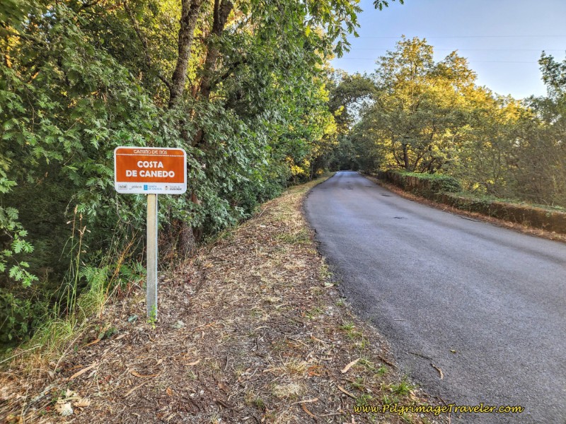 Costa de Canedo Sign
When you see this building ahead, pictured below, you have finally reached the Cima de Canedo, or the top of the Canedo climb after 8.1 kilometers from the start. You are in the village of Castro de Beiro or just Beiro, according to the signs.
It took me 2 full hours to reach the top of this climb, from the start at the cathedral. Not bad.
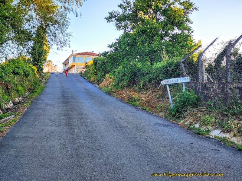 Castro de Beiro Ahead - Top of the Climb
Jump to Camino Sanabrés Stages
At the top of the climb, come to a crossroads and continue straight, across the OU-0521. Walk through the town that is only a cluster of buildings, passing by the Outarelo Restaurante on your left (only open for comida - lunch). Only a few steps past the restaurant the pavement turns to dirt.
For the next 1.5 kilometers, you will be walking on a pleasant and forested lane that is amazingly flat towards the next hamlet of Liñares. Yay!!
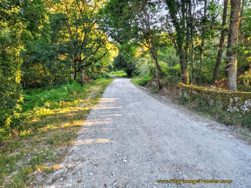 Flat Forest Lane
When you get to the top of a gentle incline, the lane comes to an end at a T-intersection with the OU-0526. Join the roadway by turning left. There is a very nice Nicanor Carballo waymark sculpture at the turn.
You will only be on the pavement for a few steps when you are directed to the left onto a wonderful pathway into the forest.
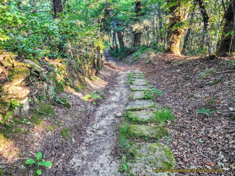 Path Through Forest Towards Liñares
It is only about one-quarter kilometer along this path when you arrive in the hamlet of Liñares after about 10 kilometers total. It feels like you are walking onto someone's property, when the path takes you by the hórreo (elevated granary) and intersects with a lane, just before the wall you see in the photo. Turn left onto the lane.
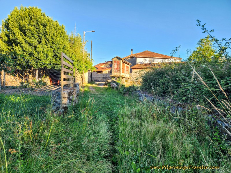 Entering the Hamlet of Liñares
Following the signage through this tiny town, you will join another roadway, the OU-0525, again for only a few steps, before being directed to the left onto yet another path system. As you can see in the photo below, the path was quite overgrown when I walked it!
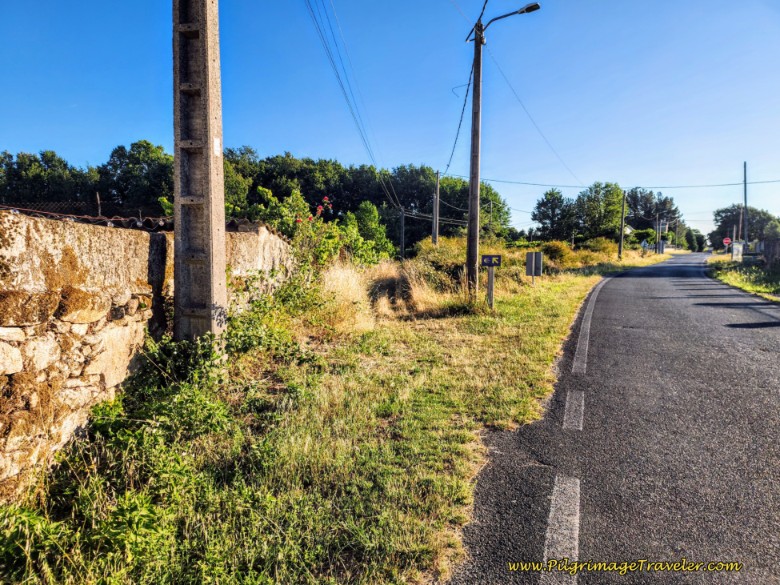 Beginning of Pathway System After Liñares
A few steps onward, bear left onto a wide lane. Next, pass a farm on your right. It was around here where I stopped, being about halfway for the day, to have a bite to eat and air out my feet.
There have been some path improvements as you can see, but the vegetation may still be overgrown.
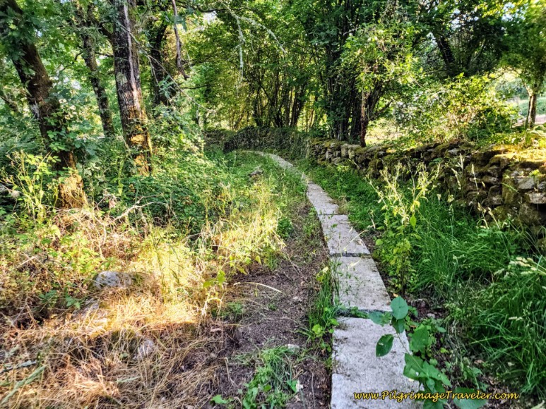 Onward Improved Path Toward the OU-0526
After about 1/2 kilometer, the Camino joins the roadway of the OU-0526 once again, by turning left at the T-intersection.
You will walk along this narrow, quiet and paved road for only about 1/3 kilometer. When you pass the 10-kilometer roadway sign, only a few steps onward is a turn to the right onto a wide grassy lane. There is another lovely Nicanor Carballo waymark pillar sculpture at the turn.
The lane ends after only a few meters, and crosses over a paved road, picking up another narrow paved road with a sign directing the pilgrim to the next town of Reguengo. Take this road toward Requengo. Walk along the shady paved lane a few minutes and arrive into town after about 11.6 kilometers into the day.
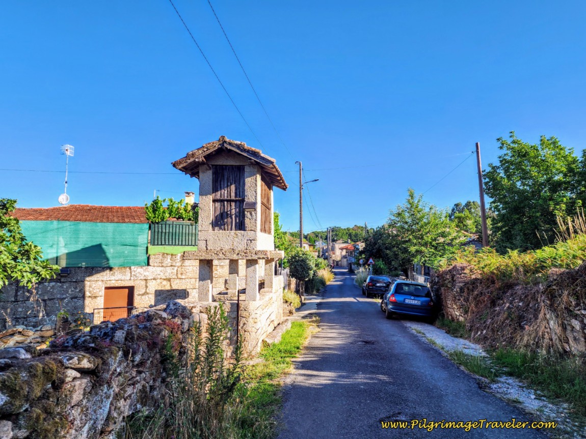 Entering Reguengo
On the far side of Reguengo, pass a funky home called the Casa Cesa, with a tribute to pilgrims and a few steps later a water fountain.
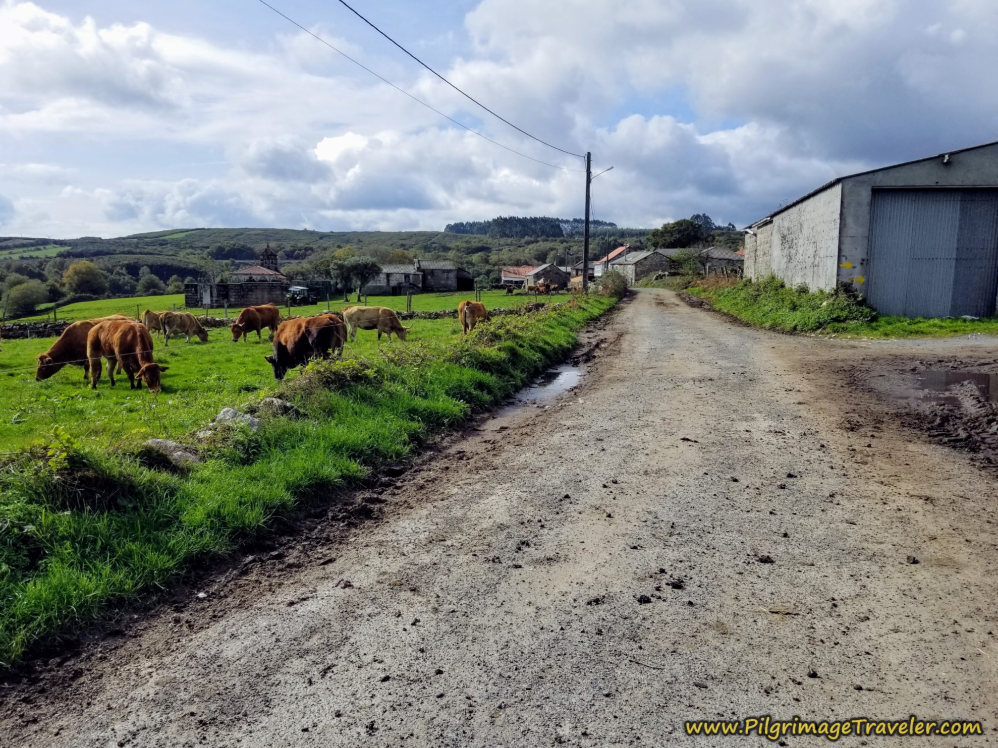
Continue onward along the straight paved road past town for about another 1/2 kilometer until passing a cluster of buildings with a really nice-looking home, where the road turns to gravel.
This gravel road continues in an arrow-straight northeasterly direction, passing the 92.784 kilometer waymark, seen below.
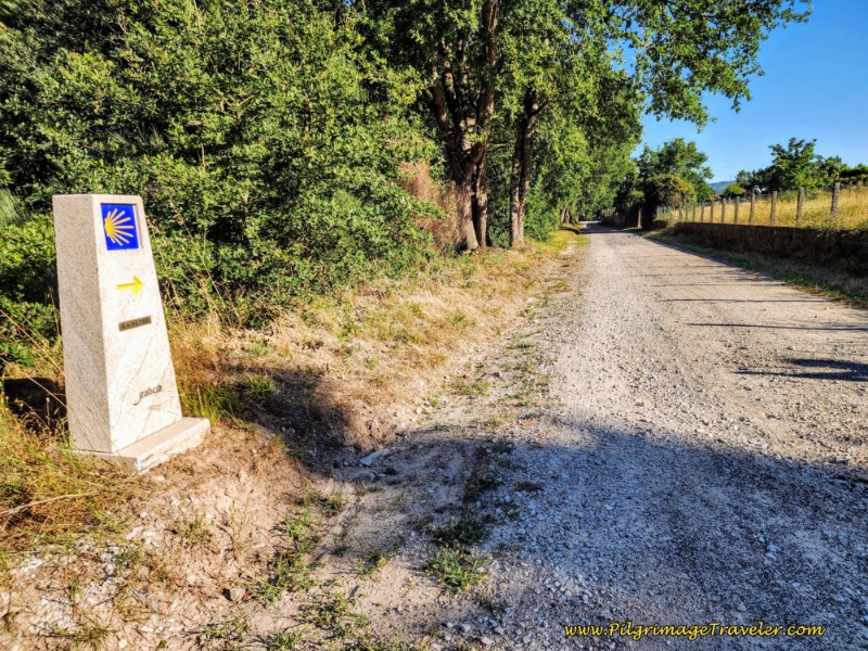 92.784 Kilometer Waymark
Jump to Camino Sanabrés Stages
After about 12.7 kilometers total the Camino arrives at a crossroad with the OU-0524, crosses over it and continues straight along the lane.
For 3/4 kilometer, the walk along this very straight and wide lane goes deeper into the forest, until arriving at this intersection with a paved road at yet another carved waymark.
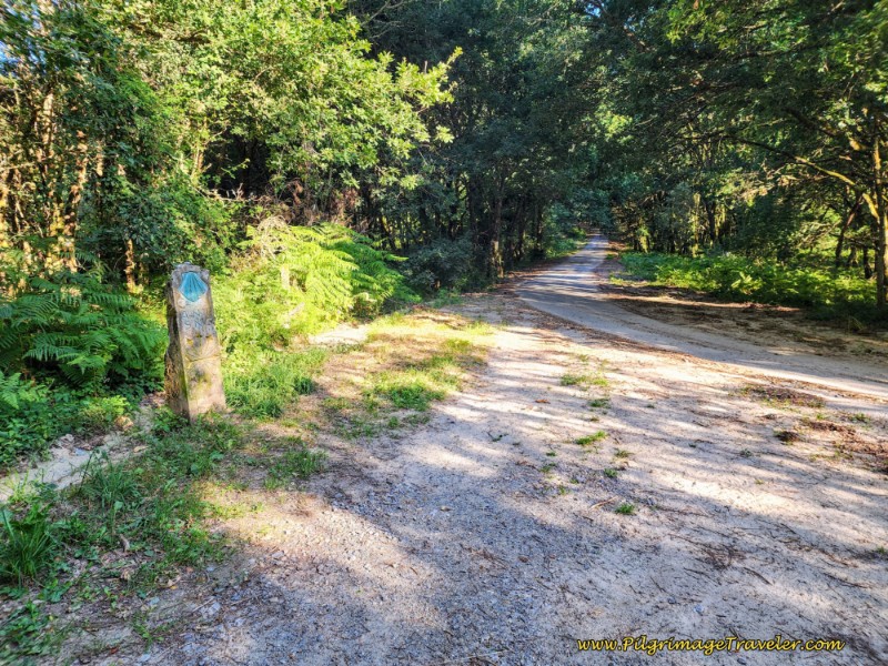 Leave Lane for Forested Paved Road
Continuing through the forest along the paved lane, walk only a few minutes, when the road takes a strong bend to the left, but the Camino continues straight onward onto another forest lane.
And now the fun begins. You will be walking on a Roman/medieval road for the next, full 1.5 kilometers! I do love an ancient road! It always makes me feel like a real pilgrim. And even better, the road will be descending the entire distance until the Río Barbantiño.
Here are just two of my best photos of this historic walk:
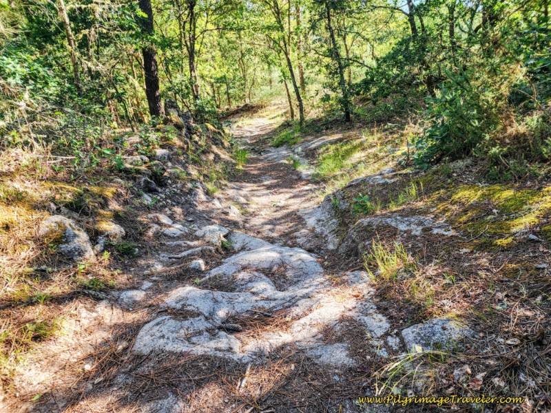 Roman Road Through Forest
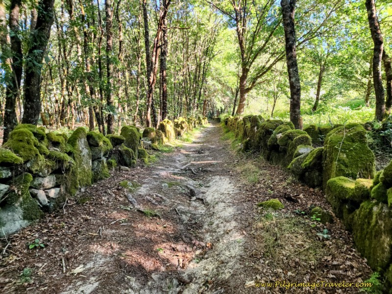 Moss Rocks Line the Roman Road
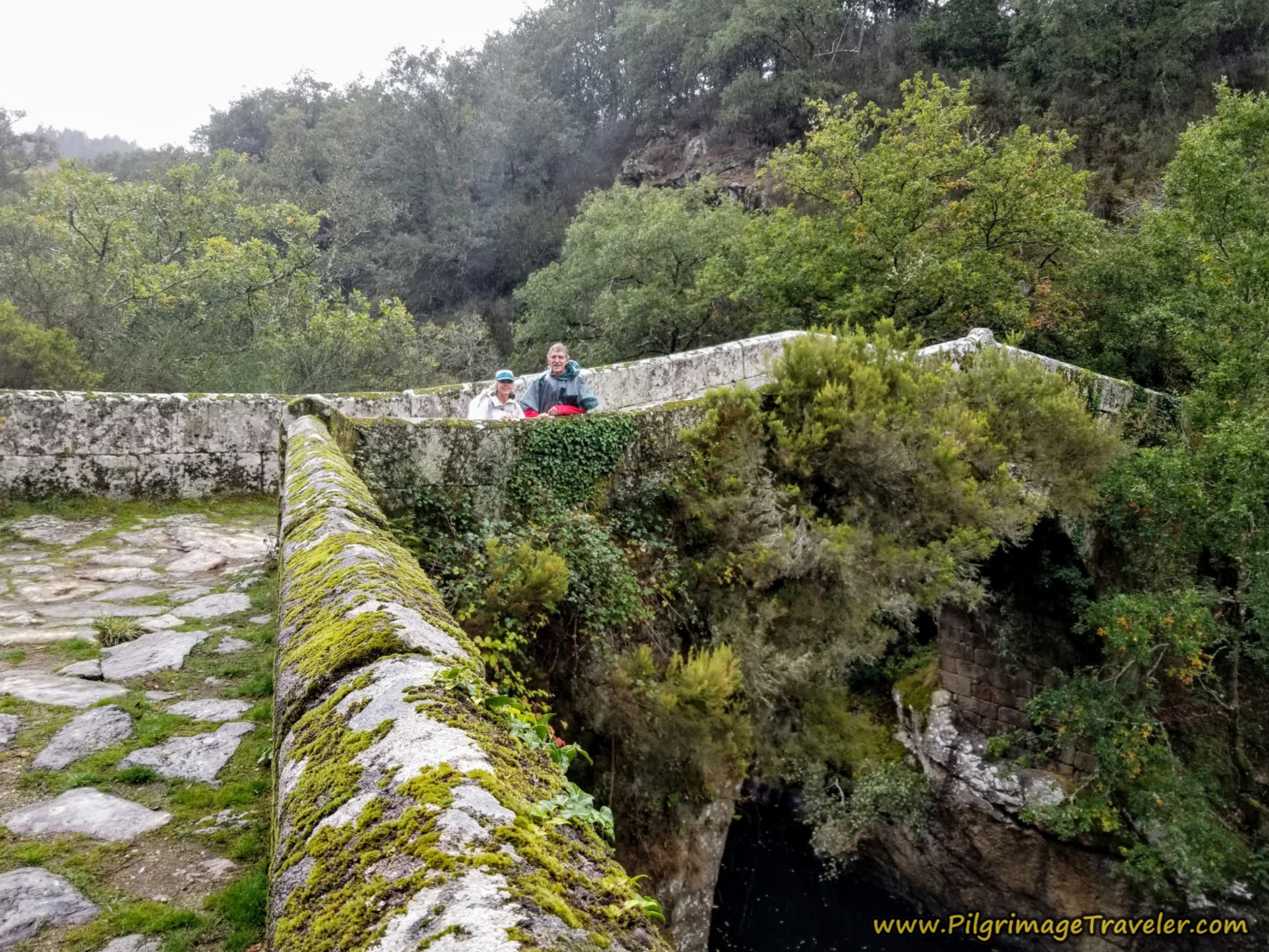
The nice historic road ends after a total of 15 kilometers total for the day when you join the stone-paved road at the 13th Century Ponte Mandrás. I caught a local woman out for her walk, crossing the bridge.
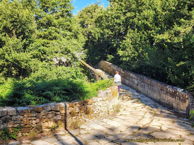 13th Century Ponte Mandrás
Jump to Camino Sanabrés Stages
Walk up from the bridge, into the small town of Ponte de Mandrás on an incline, meandering through old stone homes and following the waymarks.
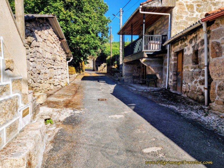 Walk Uphill Through Ponte Mántras
Pass a historic water fountain, most likely non-potable water. On the terrace above the fountain is the open plaza, the Praza de Ponte Mandrás with benches to rest if desired.
Continue up the hill to the left of the plaza on a paved lane with quaint stone walls on each side.
Leave town as you continue the climb. After about 10 minutes of walking, you enter another cluster of buildings, which is the next town of Mandrás. Pass an eye-catching elevated hórreo, not pictured.
It is immediately after the raised hórreo just beyond an intersection with a triangular park, that I spied a beer sign on a building to the right! Was that a bar, after 15.6 kilometers? Yes! (This bar is not marked on Google Maps.)
The sign turned out to be a Coca-Cola sign and it was the inconspicious Bar Mandrás I was salivating over. Yup, that is my backpack on the chair, and my classic beverage preference, an Aquarius and a café con leche.
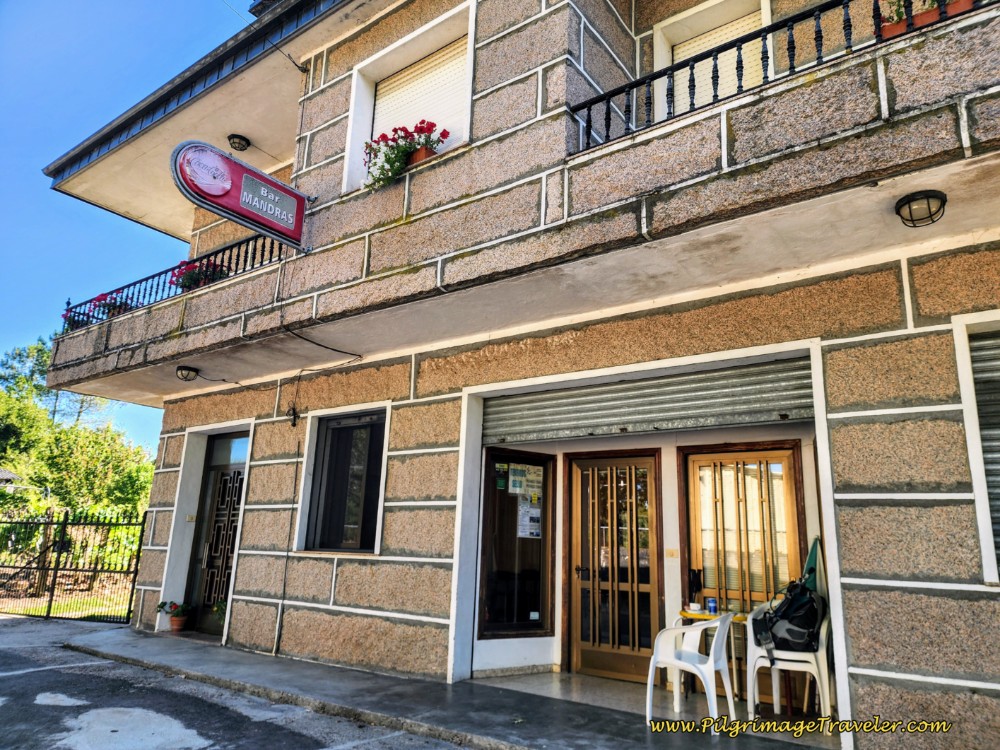 Bar Mandrás
I was so happy to have a rest from the heat! The locals in the bar had a good long look at the crazy woman walking alone in the heat. But because I can speak a bit of Spanish they warmed up a bit when I smiled and ordered in Spanish!
After my lovely break, it was onward along the narrow paved road, staying left at the Y-intersection a few steps after the bar.
Within a short distance this road turns to dirt at the 89.4 kilometer waymark, after a total of 15.8 kilometers into the day and re-enters a wooded area.
Once again, as you continue along this lane, it appears that we are following perhaps the same historic road. It will be a nice total of 2.1 kilometers walking along this historic road through a wooded area. It was a very pleasant late morning of shaded walking!
After about 16.4 kilometers and at the top of the hill, come to a crossroads with a paved road, see photo below. Continue straight here and continue along the historic road as the waymarks and carving indicates.
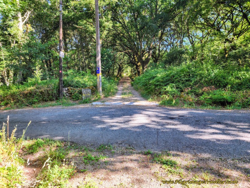 Cross Paved Road, Continue on Historic Lane Through Forest
Pass the 88.570 waymark, as you continue along the medieval road.
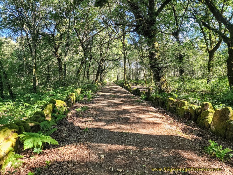 Along the Medieval Road
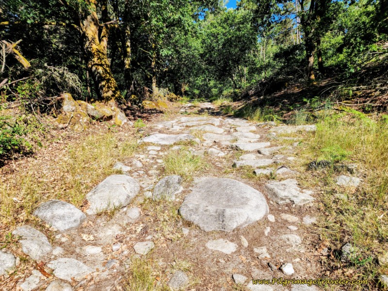 Ancient Paved Road
Jump to Camino Sanabrés Stages
Finally, come to a clearing when you see some buildings ahead and by 17.9 kilometers and by this building pictured next, pass a small wooden sign for the town of Pulledo.
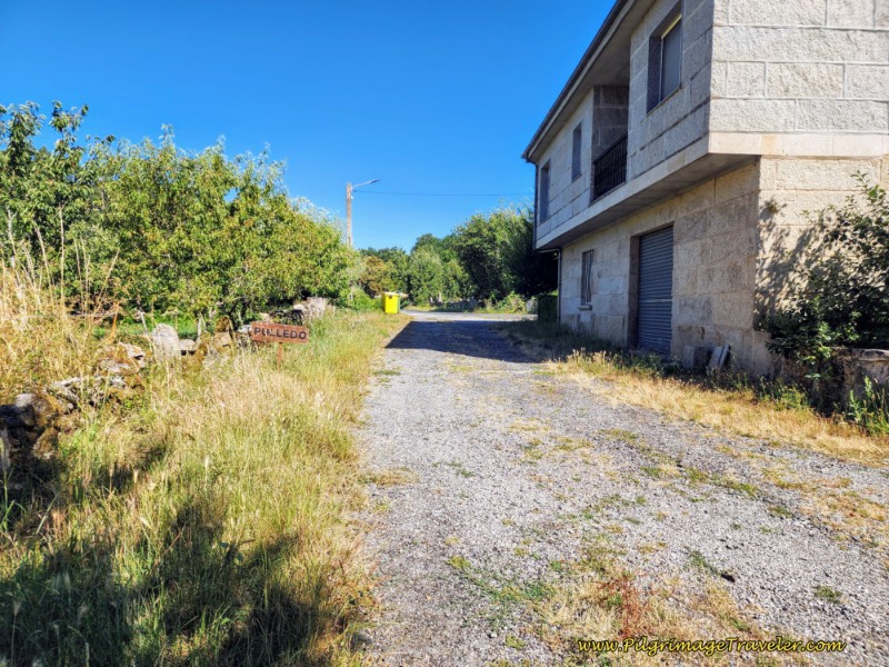 Entering Pulledo
The ancient road has now ended and you will join the paved road of civilization, just beyond the town sign. The town of Pulledo is tiny, and when you take only a few more steps past the sign you are through it.
After not quite 1/2 kilometer of walking on the pavement from Pulledo, come to a T-intersection and turn right at the waymark.
This is your final stretch of pavement 850 meters long, leading into the next town of Casas Novas.
A few meters onward from the T-intersection, another road from Ferreiros meets the Camino road from right. Tucked into this intersection, this Nicanor Carballo carving caught my eye.
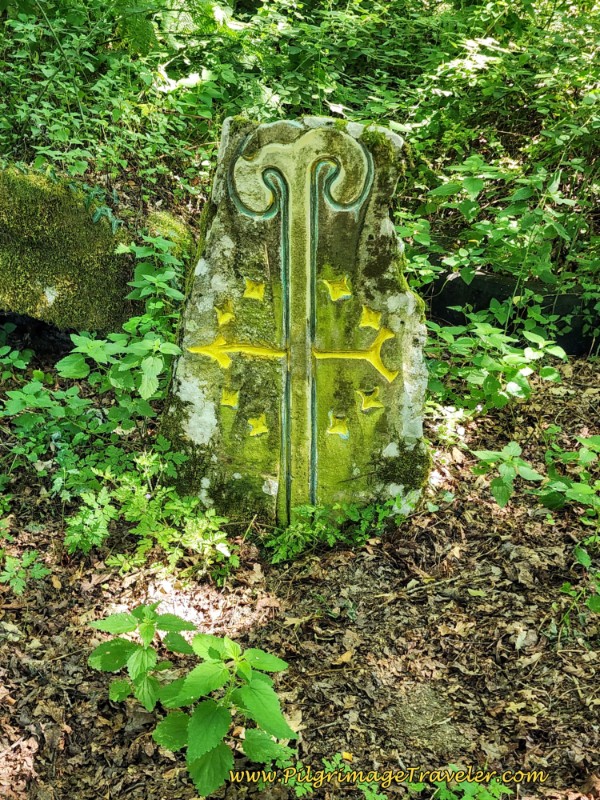 Attractive Nicanor Carving at Ferreiros Intersection
And soon after passing the first buildings of Casas Novas, pass the town sign. By 19.3 kilometers total for the day, the Camino crosses the N-525 highway.
It is just beyond the highway a few meters, when the Camino comes to a T-intersection in the center of Casas Novas, see photo below, and where the Tamallancos route joins from the right. There is a Nicanor Carballos carving on the wall at this intersection, pointing to the left.
And Rich was milling about here, waiting for me to arrive at the convergence point.
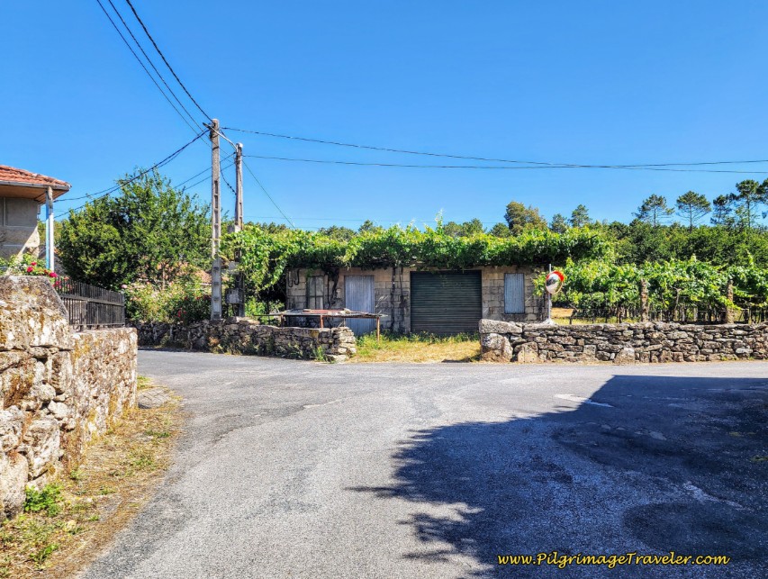 Convergence with the Tamallancos Route
And if you look to the left after making the turn, this waymark confirms the leftward direction.
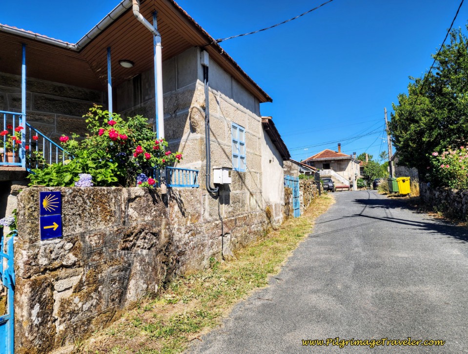 Onward, Combined Camino Routes
Jump to Camino Sanabrés Stages
The Camino continues on through town, and onto this onward lane, shown below.
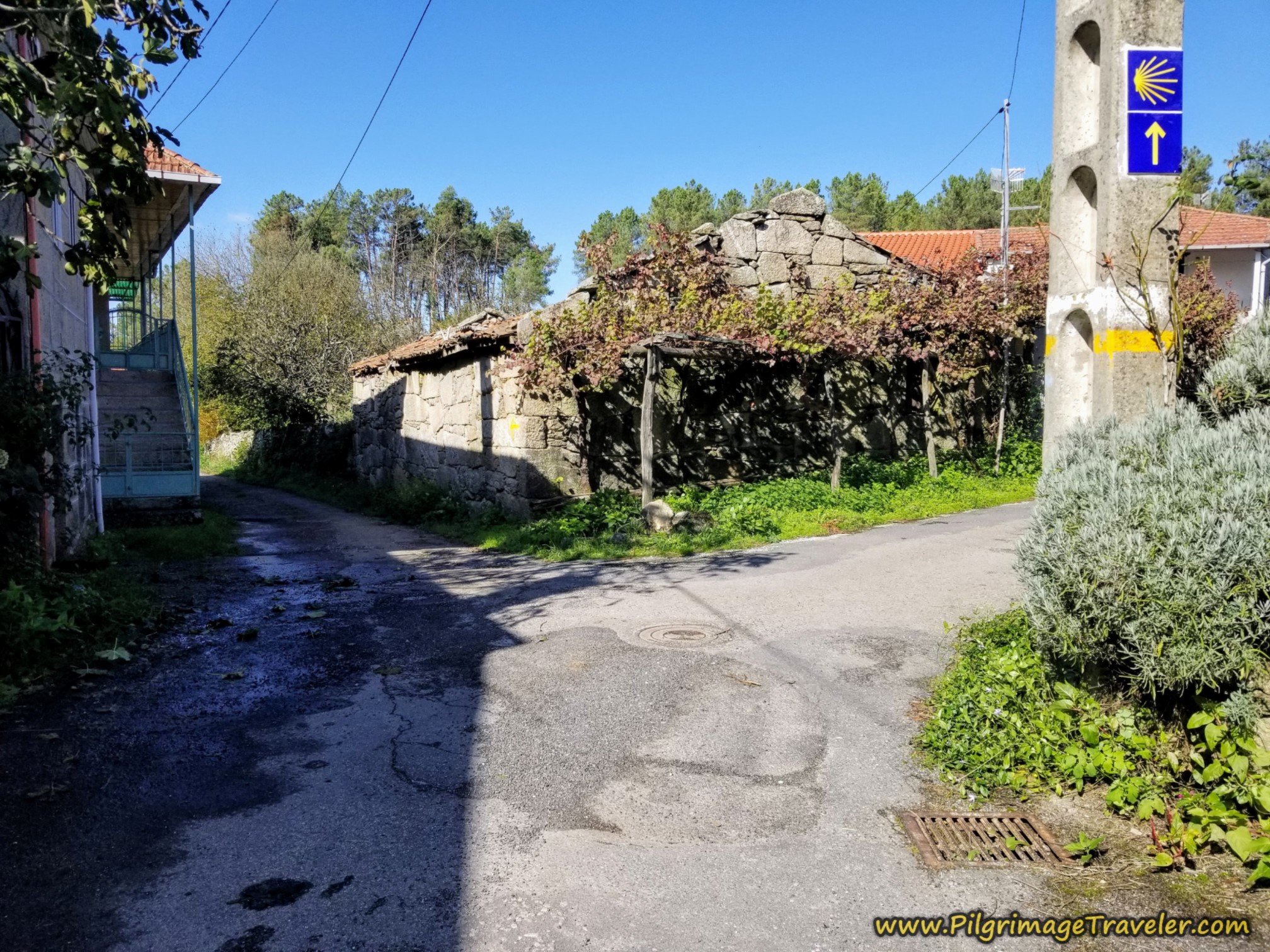 Straight Onward in Casas Novas
The path ahead is forested once again on the final section towards Cea.
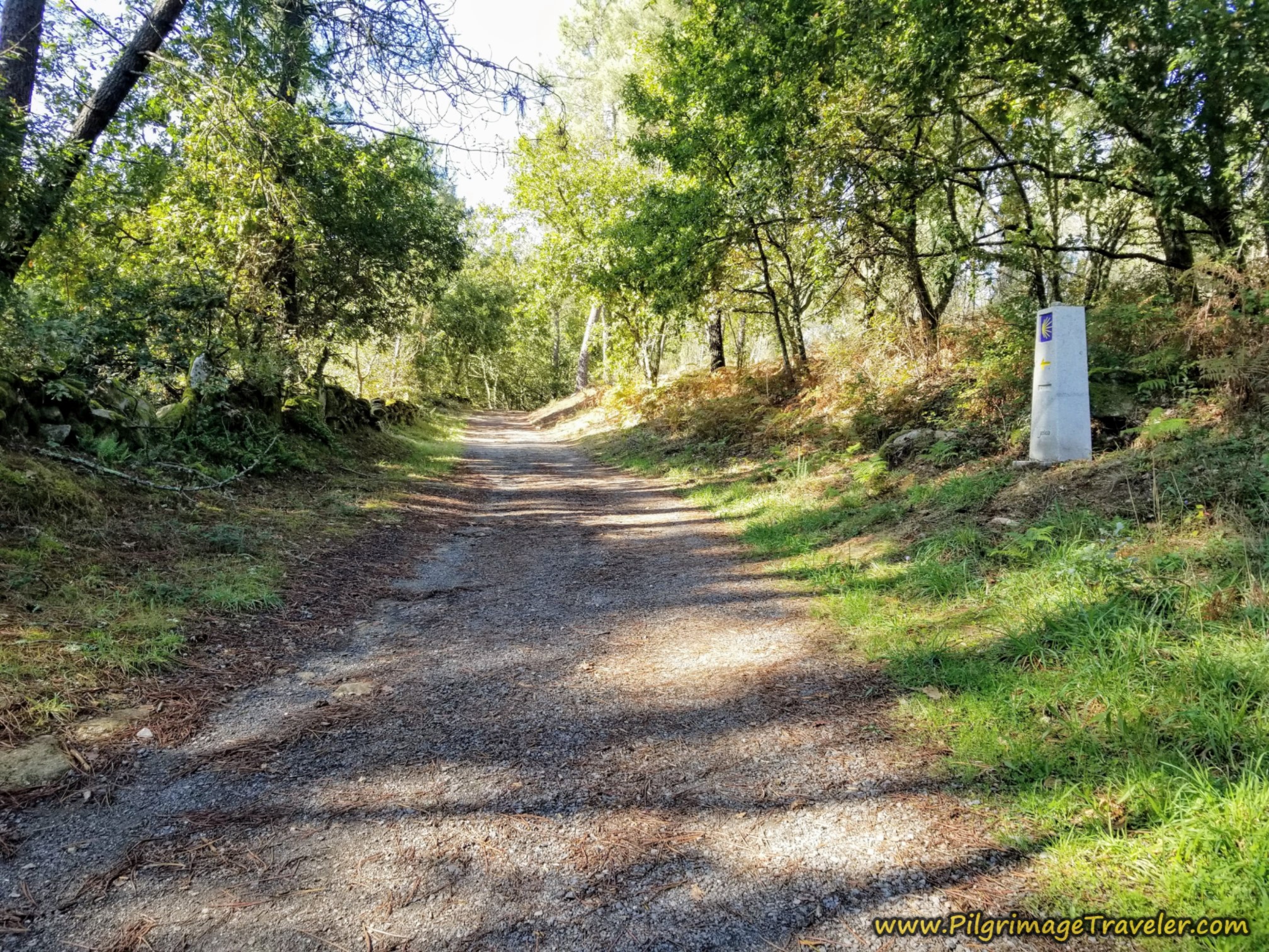 Forest Path Towards Cea
The lane comes out to this intersection, after approximately 20.5 kilometers, where you see a sign for the municipal albergue and a school. Carry on straight here.
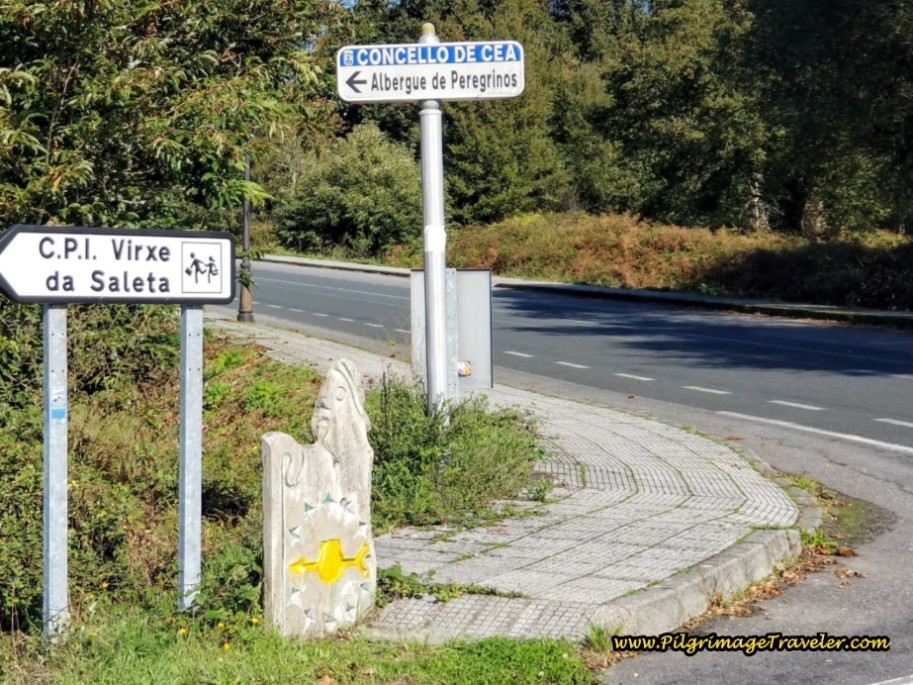 Straight On Towards the Albergue
Several hundred meters later, turn left at a municipal building, and walk around it, until you see an overpass ahead where you will cross under a major highway through a tunnel.
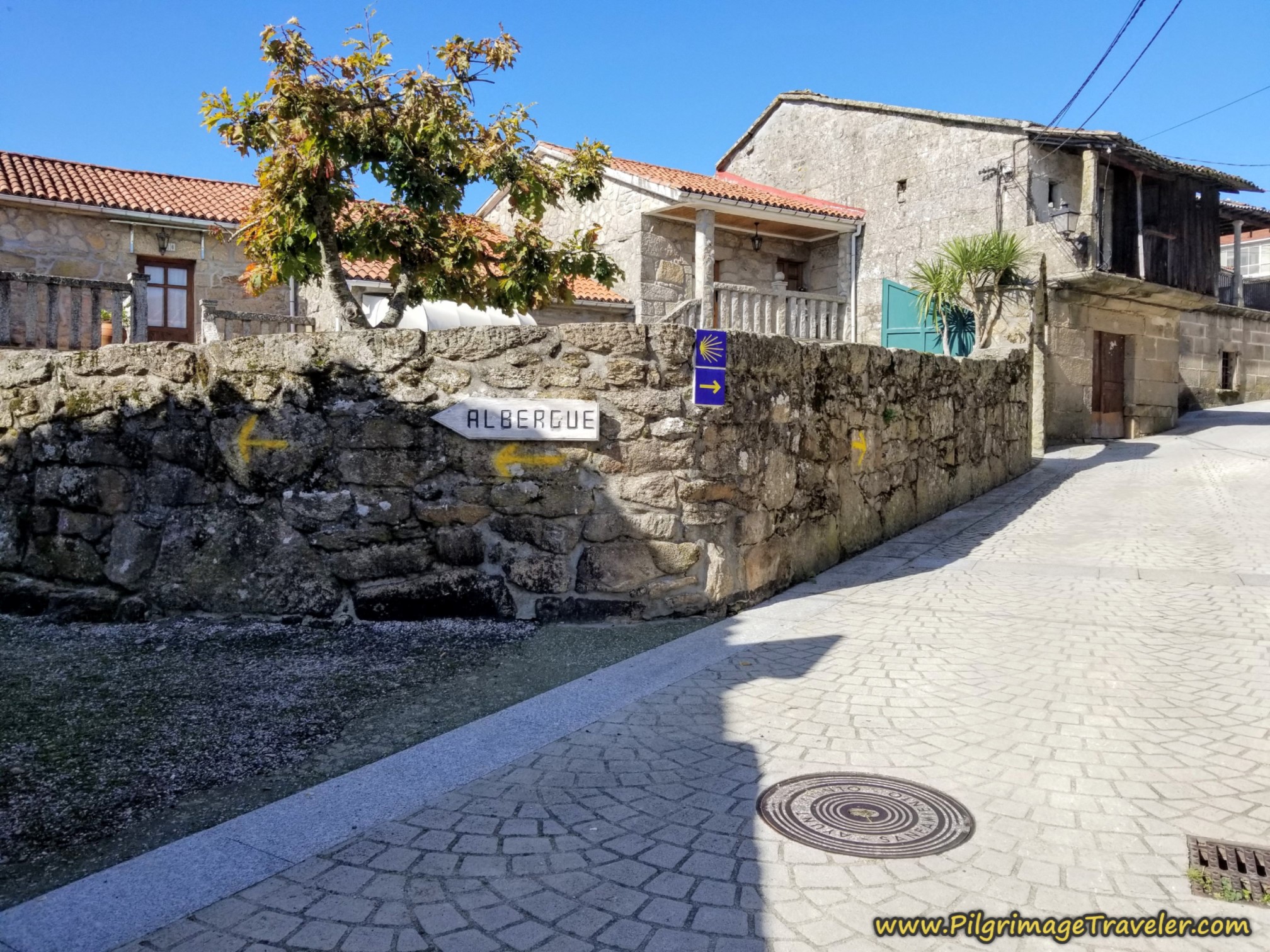
On the other side of the underpass, you come to this most interesting sign, below. The official waymark would have you go to the right, and a yellow arrow would have you go to the left.
 Double Waymark Dilemma
As it turns out, the official way takes you on the road into town, and the yellow arrow takes you into town on a parallel lane. We chose the more inviting lane where we didn't have to climb the hill!
The lane follows a ditch and in not quite 200 meters, at the end of it, take a left turn onto the road into town.
About another 50 meters later, you see the sign for the albergue, where you turn left onto the Travesia de Santo Cristo. The Camino continues on straight here, if you are walking onward.
Jump to Camino Sanabrés Stages
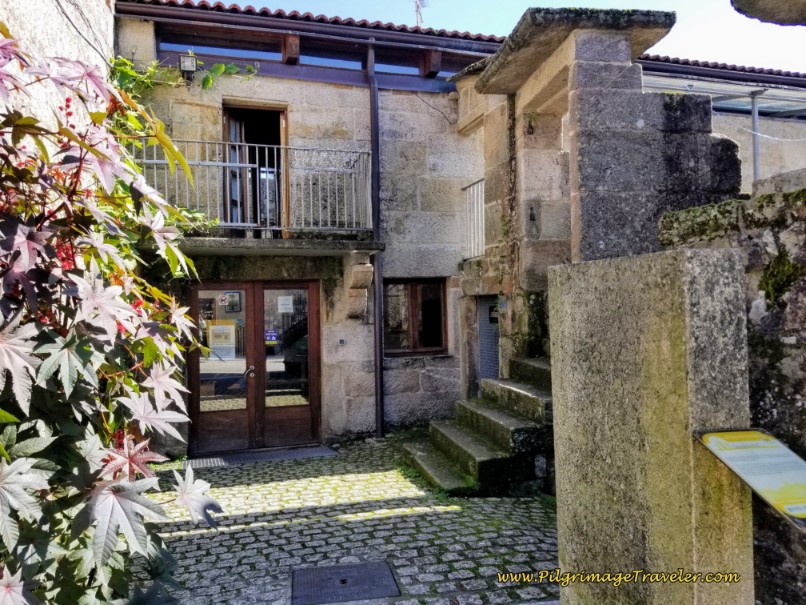
For the albergue, walk another 50 meters to a T-intersection and a right turn takes you to the Albergue de Peregrinos de Cea housed in a wonderful historic building shown below, with a huge hórreo out front.
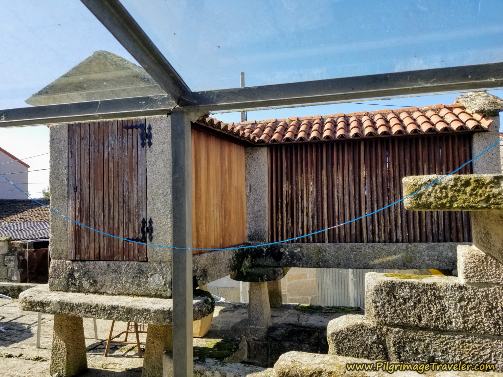
The albergue has adequate facilities, with heat and 40 beds in the upstairs dormitory. It has a full kitchen and an hórreo on the roof, shown below. We hung our clothes out to dry by the hórreo!
Immediately beside the albergue is a casa rural, A Castelana de Cea (+34 634 194 464). Call for pilgrim rates. And a few more steps along the street is a third accommodation, A Quinta de Cea. They have both rooms and apartments.
If you were to continue onward past the turn off for the albergue, a few meters later, pass the Casa Diaz, another apartment accommodation for up to four people.
And after only about 30 meters total, come to this historic hórreo, where you will turn to the right. If you missed the turn-off to the albergue, you can turn left here and follow the signs.
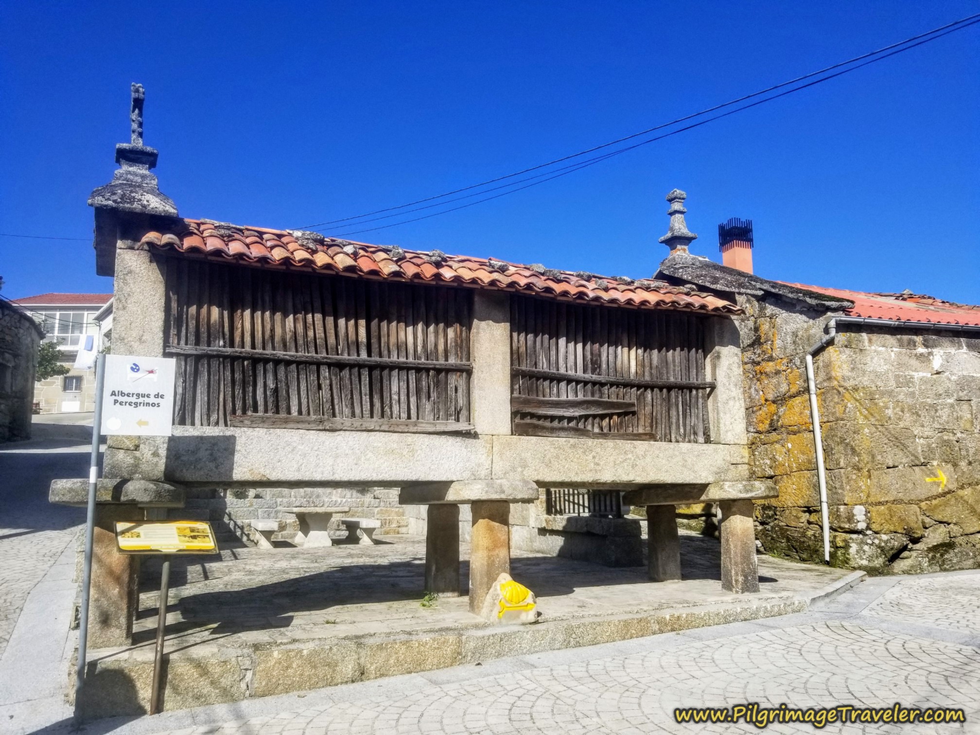
And to the left of the hórreo, also shown in the photo above is this wonderful old medieval home with the cantons like we saw earlier in the day and in Seixalbos on day twelve.
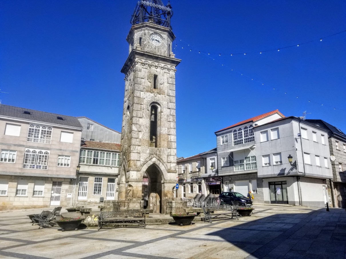
After the hórreo, walk another 100 meters until the road bends northward and in a few meters comes to the clock tower in the center of town. And yours truly is seated by the tower!
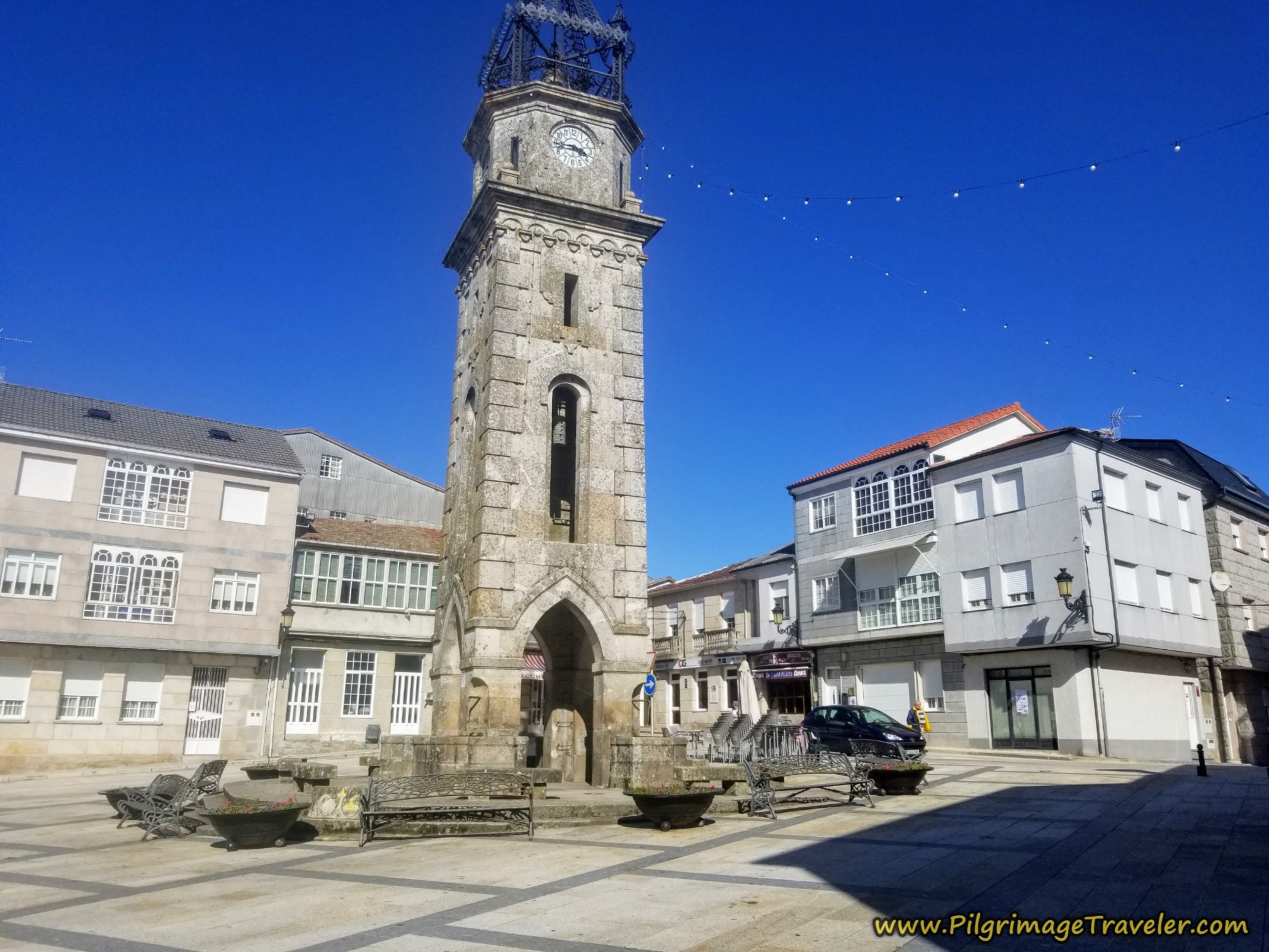
There are several bars in Cea and while our day on the Tamallancos route documents that we ate at the Sol y Luna, the Casa dos Caretas served an amazing comida the second time we were here.
We also filled our packs with food for the road at the Supermercado Claudio Lorena, next to the Sol y Luna and along the main road through town.
Reflections on Day Thirteen of the Camino Sanabrés, Ourense to Cea via Canedo
I enjoyed this day immensely, on my own personal journey, walking alone with no other pilgrims in sight. I felt a freedom that I don't feel often! It felt wonderful.
While the climb up the Costa de Canedo was a strenuous grunt, the rest of the day, walking through the countryside, filled with history, small towns, and Roman roads was so very enchanting for me!
Salutation
May your own day thirteen on the Camino Sanabrés from Ourense to Cea via Canedo be filled with grit, determination and freedom as you find your own rhythm up the climb and throughout the rest of your day! Ultreia!
Camino Fonseca Stages
~ Vía de la Plata Stages from Salamanca


~ Camino Sanabrés Stages
Please Consider Showing Your Support
Many readers contact me, Elle, to thank me for all the time and care that I have spent creating this informative website. If you have been truly blessed by my efforts, have not purchased an eBook, yet wish to contribute, I am exeedingly grateful. Thank you!
Search This Website:
The Pilgrimage Traveler Digital Guides
Our Guides Help You:
~ Know what to expect each day!
~ Locate historic sites along the Way!
~ Know where you are in your journey!
~ Discover a quote from the sages, for your daily reflection on the journey!
Click on a Photo Below to Get Your Copy.
A most popular alternative on the Central Route of the Camino Portugués!👇

The Portuguese Routes are rapidly gaining in popularity, especially the section from Lisbon! Plan to walk this one soon, before it is no longer a quiet experience!👇
Our most popular Portuguese guide! 👇
The most historic of the Portuguese Caminos ~ not to be missed!👇
The spiritual adventure of a lifetime, following in the footsteps of St. Teresa of Ávila!👇
The amazing mountain route alternative, the Camino Sanabrés, from Granja de Moreruela on the Vía de la Plata!👇
The most incredible mountain scenery on this camino from Leon to Oviedo!👇
The shortest of the caminos, but not easy!👇
The very first, Original Way from Oviedo to Santiago!👇
The pilgrimage to the "End of the World" ~ The perfect add-on to your camino!👇
All Banners, Amazon, Roamless and Booking.com links on this website are affiliate links. As an associate of these companies, the Pilgrimage Traveler website will earn from qualifying purchases when you click on these links. We have used and love all of our product recommendations and believe you will too! We sincerely thank you!

🙋♀️ Why Trust Us at the Pilgrimage Traveler?
We’re not a travel agency ~ we’re fellow pilgrims! (See About Us)
We've trekked Pilgrimage Routes Across Europe since 2014!
💬 We’ve:
- Gotten lost so you don’t have to. 😉
- Followed waymarks in the glowing sunlight, the pouring rain and by moonlight. ☀️🌧️🌙
- Slept in albergues, hostels & casa rurals. Ate and drank in cafés along the way. 🛌 😴
- Created comprehensive and downloadable GPS maps and eBook Guides, full of must-have information based on real pilgrimage travels. 🧭 🗺️
- Shared our complete journeys, step by step to help YOU plan your ultimate pilgrimage and walk with your own Heart and Soul. 💙✨
Every detail is from our own experiences. Just fellow pilgrims sharing the Way. We have added a touch of spirituality, heartfelt insights and practical guidance from the road ~ offering a genuine connection to the spirit of pilgrimage. Tap into the wisdom of seasoned pilgrims!
Ultreia and Safe Pilgrimage Travels, Caminante! 💫 💚 🤍
Follow Me on Pinterest:
Find the Pilgrimage Traveler on Facebook:

Shroud Yourself in Mystery, along the Via de Francesco!
Walk in the Footsteps of St. Francis, and Connect Deeply with the Saint and to Nature in the Marvelous Italian Countryside!
Need suggestions on what to pack for your next pilgrimage? Click Here or on the photo below!


Carbon Trekking Poles ~ My Favorites!

Carbon fiber construction (not aluminum) in a trekking pole makes them ultra lightweight. We like the Z-Pole style from Black Diamond so we can hide our poles in our pack from potential thieves before getting to our albergue! There are many to choose from! (See more of our gear recommendations! )
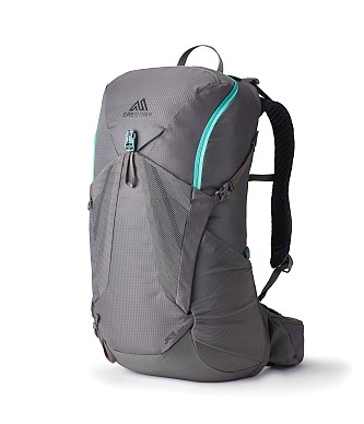
Gregory BackPack ~ My Favorite Brand

Do not forget your quick-dry microfiber towel!